Horas de salida y puesta de sol de Mount Harrison, East Kootenay C, BC V0B, Canadá
Location: Canadá > Columbia Británica > East Kootenay > Sparwood >
Zona horaria:
America/Edmonton
Hora local:
2024-05-14 11:46:31
Longitud:
-115.205
Latitud:
50.0599999
Salida de sol de hoy:
05:52:56 AM
Puesta de sol de hoy:
09:21:27 PM
La duración del día hoy:
15h 28m 31s
Salida de sol de mañana:
05:51:36 AM
Puesta de sol de mañana:
09:22:51 PM
La duración del día mañana:
15h 31m 15s
Mostrar todas las fechas
| Fecha | Salida de sol | Puesta de sol | Duración del día |
|---|---|---|---|
| 01/01/2024 | 08:39:21 AM | 04:49:59 PM | 8h 10m 38s |
| 02/01/2024 | 08:39:14 AM | 04:51:02 PM | 8h 11m 48s |
| 03/01/2024 | 08:39:03 AM | 04:52:08 PM | 8h 13m 5s |
| 04/01/2024 | 08:38:49 AM | 04:53:16 PM | 8h 14m 27s |
| 05/01/2024 | 08:38:32 AM | 04:54:26 PM | 8h 15m 54s |
| 06/01/2024 | 08:38:12 AM | 04:55:38 PM | 8h 17m 26s |
| 07/01/2024 | 08:37:49 AM | 04:56:53 PM | 8h 19m 4s |
| 08/01/2024 | 08:37:22 AM | 04:58:10 PM | 8h 20m 48s |
| 09/01/2024 | 08:36:53 AM | 04:59:28 PM | 8h 22m 35s |
| 10/01/2024 | 08:36:21 AM | 05:00:49 PM | 8h 24m 28s |
| 11/01/2024 | 08:35:45 AM | 05:02:11 PM | 8h 26m 26s |
| 12/01/2024 | 08:35:07 AM | 05:03:35 PM | 8h 28m 28s |
| 13/01/2024 | 08:34:26 AM | 05:05:01 PM | 8h 30m 35s |
| 14/01/2024 | 08:33:42 AM | 05:06:28 PM | 8h 32m 46s |
| 15/01/2024 | 08:32:55 AM | 05:07:56 PM | 8h 35m 1s |
| 16/01/2024 | 08:32:06 AM | 05:09:26 PM | 8h 37m 20s |
| 17/01/2024 | 08:31:14 AM | 05:10:58 PM | 8h 39m 44s |
| 18/01/2024 | 08:30:19 AM | 05:12:30 PM | 8h 42m 11s |
| 19/01/2024 | 08:29:21 AM | 05:14:04 PM | 8h 44m 43s |
| 20/01/2024 | 08:28:21 AM | 05:15:39 PM | 8h 47m 18s |
| 21/01/2024 | 08:27:19 AM | 05:17:14 PM | 8h 49m 55s |
| 22/01/2024 | 08:26:14 AM | 05:18:51 PM | 8h 52m 37s |
| 23/01/2024 | 08:25:06 AM | 05:20:29 PM | 8h 55m 23s |
| 24/01/2024 | 08:23:56 AM | 05:22:07 PM | 8h 58m 11s |
| 25/01/2024 | 08:22:44 AM | 05:23:46 PM | 9h 1m 2s |
| 26/01/2024 | 08:21:29 AM | 05:25:26 PM | 9h 3m 57s |
| 27/01/2024 | 08:20:13 AM | 05:27:07 PM | 9h 6m 54s |
| 28/01/2024 | 08:18:54 AM | 05:28:48 PM | 9h 9m 54s |
| 29/01/2024 | 08:17:33 AM | 05:30:29 PM | 9h 12m 56s |
| 30/01/2024 | 08:16:09 AM | 05:32:11 PM | 9h 16m 2s |
| 31/01/2024 | 08:14:44 AM | 05:33:54 PM | 9h 19m 10s |
| 01/02/2024 | 08:13:17 AM | 05:35:36 PM | 9h 22m 19s |
| 02/02/2024 | 08:11:48 AM | 05:37:19 PM | 9h 25m 31s |
| 03/02/2024 | 08:10:17 AM | 05:39:03 PM | 9h 28m 46s |
| 04/02/2024 | 08:08:45 AM | 05:40:46 PM | 9h 32m 1s |
| 05/02/2024 | 08:07:10 AM | 05:42:30 PM | 9h 35m 20s |
| 06/02/2024 | 08:05:34 AM | 05:44:13 PM | 9h 38m 39s |
| 07/02/2024 | 08:03:56 AM | 05:45:57 PM | 9h 42m 1s |
| 08/02/2024 | 08:02:16 AM | 05:47:41 PM | 9h 45m 25s |
| 09/02/2024 | 08:00:35 AM | 05:49:25 PM | 9h 48m 50s |
| 10/02/2024 | 07:58:53 AM | 05:51:09 PM | 9h 52m 16s |
| 11/02/2024 | 07:57:09 AM | 05:52:52 PM | 9h 55m 43s |
| 12/02/2024 | 07:55:23 AM | 05:54:36 PM | 9h 59m 13s |
| 13/02/2024 | 07:53:36 AM | 05:56:20 PM | 10h 2m 44s |
| 14/02/2024 | 07:51:48 AM | 05:58:03 PM | 10h 6m 15s |
| 15/02/2024 | 07:49:58 AM | 05:59:46 PM | 10h 9m 48s |
| 16/02/2024 | 07:48:08 AM | 06:01:29 PM | 10h 13m 21s |
| 17/02/2024 | 07:46:16 AM | 06:03:12 PM | 10h 16m 56s |
| 18/02/2024 | 07:44:22 AM | 06:04:55 PM | 10h 20m 33s |
| 19/02/2024 | 07:42:28 AM | 06:06:38 PM | 10h 24m 10s |
| 20/02/2024 | 07:40:33 AM | 06:08:20 PM | 10h 27m 47s |
| 21/02/2024 | 07:38:36 AM | 06:10:02 PM | 10h 31m 26s |
| 22/02/2024 | 07:36:39 AM | 06:11:44 PM | 10h 35m 5s |
| 23/02/2024 | 07:34:40 AM | 06:13:25 PM | 10h 38m 45s |
| 24/02/2024 | 07:32:41 AM | 06:15:07 PM | 10h 42m 26s |
| 25/02/2024 | 07:30:41 AM | 06:16:48 PM | 10h 46m 7s |
| 26/02/2024 | 07:28:40 AM | 06:18:28 PM | 10h 49m 48s |
| 27/02/2024 | 07:26:38 AM | 06:20:09 PM | 10h 53m 31s |
| 28/02/2024 | 07:24:35 AM | 06:21:49 PM | 10h 57m 14s |
| 29/02/2024 | 07:22:32 AM | 06:23:29 PM | 11h 0m 57s |
| 01/03/2024 | 07:20:27 AM | 06:25:08 PM | 11h 4m 41s |
| 02/03/2024 | 07:18:23 AM | 06:26:48 PM | 11h 8m 25s |
| 03/03/2024 | 07:16:17 AM | 06:28:27 PM | 11h 12m 10s |
| 04/03/2024 | 07:14:11 AM | 06:30:06 PM | 11h 15m 55s |
| 05/03/2024 | 07:12:05 AM | 06:31:44 PM | 11h 19m 39s |
| 06/03/2024 | 07:09:57 AM | 06:33:22 PM | 11h 23m 25s |
| 07/03/2024 | 07:07:50 AM | 06:35:00 PM | 11h 27m 10s |
| 08/03/2024 | 07:05:42 AM | 06:36:38 PM | 11h 30m 56s |
| 09/03/2024 | 07:03:33 AM | 06:38:16 PM | 11h 34m 43s |
| 10/03/2024 | 08:01:30 AM | 07:39:49 PM | 11h 38m 19s |
| 11/03/2024 | 07:59:21 AM | 07:41:26 PM | 11h 42m 5s |
| 12/03/2024 | 07:57:11 AM | 07:43:03 PM | 11h 45m 52s |
| 13/03/2024 | 07:55:01 AM | 07:44:39 PM | 11h 49m 38s |
| 14/03/2024 | 07:52:51 AM | 07:46:16 PM | 11h 53m 25s |
| 15/03/2024 | 07:50:41 AM | 07:47:52 PM | 11h 57m 11s |
| 16/03/2024 | 07:48:30 AM | 07:49:28 PM | 12h 0m 58s |
| 17/03/2024 | 07:46:19 AM | 07:51:04 PM | 12h 4m 45s |
| 18/03/2024 | 07:44:08 AM | 07:52:40 PM | 12h 8m 32s |
| 19/03/2024 | 07:41:57 AM | 07:54:15 PM | 12h 12m 18s |
| 20/03/2024 | 07:39:46 AM | 07:55:51 PM | 12h 16m 5s |
| 21/03/2024 | 07:37:35 AM | 07:57:26 PM | 12h 19m 51s |
| 22/03/2024 | 07:35:24 AM | 07:59:01 PM | 12h 23m 37s |
| 23/03/2024 | 07:33:13 AM | 08:00:36 PM | 12h 27m 23s |
| 24/03/2024 | 07:31:02 AM | 08:02:11 PM | 12h 31m 9s |
| 25/03/2024 | 07:28:51 AM | 08:03:46 PM | 12h 34m 55s |
| 26/03/2024 | 07:26:40 AM | 08:05:21 PM | 12h 38m 41s |
| 27/03/2024 | 07:24:29 AM | 08:06:55 PM | 12h 42m 26s |
| 28/03/2024 | 07:22:18 AM | 08:08:30 PM | 12h 46m 12s |
| 29/03/2024 | 07:20:08 AM | 08:10:04 PM | 12h 49m 56s |
| 30/03/2024 | 07:17:57 AM | 08:11:39 PM | 12h 53m 42s |
| 31/03/2024 | 07:15:47 AM | 08:13:13 PM | 12h 57m 26s |
| 01/04/2024 | 07:13:38 AM | 08:14:48 PM | 13h 1m 10s |
| 02/04/2024 | 07:11:28 AM | 08:16:22 PM | 13h 4m 54s |
| 03/04/2024 | 07:09:19 AM | 08:17:56 PM | 13h 8m 37s |
| 04/04/2024 | 07:07:11 AM | 08:19:31 PM | 13h 12m 20s |
| 05/04/2024 | 07:05:03 AM | 08:21:05 PM | 13h 16m 2s |
| 06/04/2024 | 07:02:55 AM | 08:22:39 PM | 13h 19m 44s |
| 07/04/2024 | 07:00:48 AM | 08:24:13 PM | 13h 23m 25s |
| 08/04/2024 | 06:58:41 AM | 08:25:48 PM | 13h 27m 7s |
| 09/04/2024 | 06:56:35 AM | 08:27:22 PM | 13h 30m 47s |
| 10/04/2024 | 06:54:29 AM | 08:28:56 PM | 13h 34m 27s |
| 11/04/2024 | 06:52:24 AM | 08:30:30 PM | 13h 38m 6s |
| 12/04/2024 | 06:50:19 AM | 08:32:04 PM | 13h 41m 45s |
| 13/04/2024 | 06:48:16 AM | 08:33:39 PM | 13h 45m 23s |
| 14/04/2024 | 06:46:13 AM | 08:35:13 PM | 13h 49m 0s |
| 15/04/2024 | 06:44:11 AM | 08:36:47 PM | 13h 52m 36s |
| 16/04/2024 | 06:42:09 AM | 08:38:21 PM | 13h 56m 12s |
| 17/04/2024 | 06:40:09 AM | 08:39:55 PM | 13h 59m 46s |
| 18/04/2024 | 06:38:09 AM | 08:41:29 PM | 14h 3m 20s |
| 19/04/2024 | 06:36:10 AM | 08:43:03 PM | 14h 6m 53s |
| 20/04/2024 | 06:34:12 AM | 08:44:37 PM | 14h 10m 25s |
| 21/04/2024 | 06:32:15 AM | 08:46:11 PM | 14h 13m 56s |
| 22/04/2024 | 06:30:19 AM | 08:47:45 PM | 14h 17m 26s |
| 23/04/2024 | 06:28:24 AM | 08:49:18 PM | 14h 20m 54s |
| 24/04/2024 | 06:26:31 AM | 08:50:52 PM | 14h 24m 21s |
| 25/04/2024 | 06:24:38 AM | 08:52:25 PM | 14h 27m 47s |
| 26/04/2024 | 06:22:47 AM | 08:53:58 PM | 14h 31m 11s |
| 27/04/2024 | 06:20:56 AM | 08:55:31 PM | 14h 34m 35s |
| 28/04/2024 | 06:19:07 AM | 08:57:04 PM | 14h 37m 57s |
| 29/04/2024 | 06:17:20 AM | 08:58:36 PM | 14h 41m 16s |
| 30/04/2024 | 06:15:33 AM | 09:00:09 PM | 14h 44m 36s |
| 01/05/2024 | 06:13:48 AM | 09:01:41 PM | 14h 47m 53s |
| 02/05/2024 | 06:12:05 AM | 09:03:12 PM | 14h 51m 7s |
| 03/05/2024 | 06:10:23 AM | 09:04:43 PM | 14h 54m 20s |
| 04/05/2024 | 06:08:42 AM | 09:06:14 PM | 14h 57m 32s |
| 05/05/2024 | 06:07:03 AM | 09:07:45 PM | 15h 0m 42s |
| 06/05/2024 | 06:05:26 AM | 09:09:15 PM | 15h 3m 49s |
| 07/05/2024 | 06:03:50 AM | 09:10:44 PM | 15h 6m 54s |
| 08/05/2024 | 06:02:16 AM | 09:12:13 PM | 15h 9m 57s |
| 09/05/2024 | 06:00:44 AM | 09:13:41 PM | 15h 12m 57s |
| 10/05/2024 | 05:59:13 AM | 09:15:09 PM | 15h 15m 56s |
| 11/05/2024 | 05:57:45 AM | 09:16:36 PM | 15h 18m 51s |
| 12/05/2024 | 05:56:18 AM | 09:18:02 PM | 15h 21m 44s |
| 13/05/2024 | 05:54:53 AM | 09:19:28 PM | 15h 24m 35s |
| 14/05/2024 | 05:53:30 AM | 09:20:52 PM | 15h 27m 22s |
| 15/05/2024 | 05:52:09 AM | 09:22:16 PM | 15h 30m 7s |
| 16/05/2024 | 05:50:50 AM | 09:23:39 PM | 15h 32m 49s |
| 17/05/2024 | 05:49:33 AM | 09:25:01 PM | 15h 35m 28s |
| 18/05/2024 | 05:48:19 AM | 09:26:21 PM | 15h 38m 2s |
| 19/05/2024 | 05:47:06 AM | 09:27:41 PM | 15h 40m 35s |
| 20/05/2024 | 05:45:56 AM | 09:29:00 PM | 15h 43m 4s |
| 21/05/2024 | 05:44:48 AM | 09:30:17 PM | 15h 45m 29s |
| 22/05/2024 | 05:43:43 AM | 09:31:33 PM | 15h 47m 50s |
| 23/05/2024 | 05:42:39 AM | 09:32:47 PM | 15h 50m 8s |
| 24/05/2024 | 05:41:39 AM | 09:34:00 PM | 15h 52m 21s |
| 25/05/2024 | 05:40:40 AM | 09:35:12 PM | 15h 54m 32s |
| 26/05/2024 | 05:39:44 AM | 09:36:22 PM | 15h 56m 38s |
| 27/05/2024 | 05:38:51 AM | 09:37:31 PM | 15h 58m 40s |
| 28/05/2024 | 05:38:00 AM | 09:38:38 PM | 16h 0m 38s |
| 29/05/2024 | 05:37:12 AM | 09:39:43 PM | 16h 2m 31s |
| 30/05/2024 | 05:36:27 AM | 09:40:46 PM | 16h 4m 19s |
| 31/05/2024 | 05:35:44 AM | 09:41:47 PM | 16h 6m 3s |
| 01/06/2024 | 05:35:04 AM | 09:42:47 PM | 16h 7m 43s |
| 02/06/2024 | 05:34:26 AM | 09:43:44 PM | 16h 9m 18s |
| 03/06/2024 | 05:33:52 AM | 09:44:40 PM | 16h 10m 48s |
| 04/06/2024 | 05:33:20 AM | 09:45:33 PM | 16h 12m 13s |
| 05/06/2024 | 05:32:51 AM | 09:46:24 PM | 16h 13m 33s |
| 06/06/2024 | 05:32:24 AM | 09:47:13 PM | 16h 14m 49s |
| 07/06/2024 | 05:32:01 AM | 09:48:00 PM | 16h 15m 59s |
| 08/06/2024 | 05:31:40 AM | 09:48:44 PM | 16h 17m 4s |
| 09/06/2024 | 05:31:23 AM | 09:49:26 PM | 16h 18m 3s |
| 10/06/2024 | 05:31:08 AM | 09:50:05 PM | 16h 18m 57s |
| 11/06/2024 | 05:30:56 AM | 09:50:42 PM | 16h 19m 46s |
| 12/06/2024 | 05:30:47 AM | 09:51:16 PM | 16h 20m 29s |
| 13/06/2024 | 05:30:40 AM | 09:51:48 PM | 16h 21m 8s |
| 14/06/2024 | 05:30:37 AM | 09:52:17 PM | 16h 21m 40s |
| 15/06/2024 | 05:30:37 AM | 09:52:44 PM | 16h 22m 7s |
| 16/06/2024 | 05:30:39 AM | 09:53:07 PM | 16h 22m 28s |
| 17/06/2024 | 05:30:44 AM | 09:53:28 PM | 16h 22m 44s |
| 18/06/2024 | 05:30:52 AM | 09:53:46 PM | 16h 22m 54s |
| 19/06/2024 | 05:31:03 AM | 09:54:02 PM | 16h 22m 59s |
| 20/06/2024 | 05:31:17 AM | 09:54:14 PM | 16h 22m 57s |
| 21/06/2024 | 05:31:33 AM | 09:54:24 PM | 16h 22m 51s |
| 22/06/2024 | 05:31:52 AM | 09:54:30 PM | 16h 22m 38s |
| 23/06/2024 | 05:32:14 AM | 09:54:34 PM | 16h 22m 20s |
| 24/06/2024 | 05:32:39 AM | 09:54:35 PM | 16h 21m 56s |
| 25/06/2024 | 05:33:06 AM | 09:54:33 PM | 16h 21m 27s |
| 26/06/2024 | 05:33:36 AM | 09:54:28 PM | 16h 20m 52s |
| 27/06/2024 | 05:34:08 AM | 09:54:20 PM | 16h 20m 12s |
| 28/06/2024 | 05:34:43 AM | 09:54:09 PM | 16h 19m 26s |
| 29/06/2024 | 05:35:20 AM | 09:53:56 PM | 16h 18m 36s |
| 30/06/2024 | 05:36:00 AM | 09:53:39 PM | 16h 17m 39s |
| 01/07/2024 | 05:36:42 AM | 09:53:20 PM | 16h 16m 38s |
| 02/07/2024 | 05:37:26 AM | 09:52:57 PM | 16h 15m 31s |
| 03/07/2024 | 05:38:12 AM | 09:52:32 PM | 16h 14m 20s |
| 04/07/2024 | 05:39:01 AM | 09:52:04 PM | 16h 13m 3s |
| 05/07/2024 | 05:39:52 AM | 09:51:33 PM | 16h 11m 41s |
| 06/07/2024 | 05:40:45 AM | 09:50:59 PM | 16h 10m 14s |
| 07/07/2024 | 05:41:40 AM | 09:50:22 PM | 16h 8m 42s |
| 08/07/2024 | 05:42:37 AM | 09:49:43 PM | 16h 7m 6s |
| 09/07/2024 | 05:43:36 AM | 09:49:01 PM | 16h 5m 25s |
| 10/07/2024 | 05:44:36 AM | 09:48:16 PM | 16h 3m 40s |
| 11/07/2024 | 05:45:38 AM | 09:47:28 PM | 16h 1m 50s |
| 12/07/2024 | 05:46:43 AM | 09:46:38 PM | 15h 59m 55s |
| 13/07/2024 | 05:47:48 AM | 09:45:46 PM | 15h 57m 58s |
| 14/07/2024 | 05:48:55 AM | 09:44:50 PM | 15h 55m 55s |
| 15/07/2024 | 05:50:04 AM | 09:43:52 PM | 15h 53m 48s |
| 16/07/2024 | 05:51:14 AM | 09:42:52 PM | 15h 51m 38s |
| 17/07/2024 | 05:52:26 AM | 09:41:49 PM | 15h 49m 23s |
| 18/07/2024 | 05:53:39 AM | 09:40:44 PM | 15h 47m 5s |
| 19/07/2024 | 05:54:53 AM | 09:39:37 PM | 15h 44m 44s |
| 20/07/2024 | 05:56:08 AM | 09:38:27 PM | 15h 42m 19s |
| 21/07/2024 | 05:57:24 AM | 09:37:15 PM | 15h 39m 51s |
| 22/07/2024 | 05:58:42 AM | 09:36:00 PM | 15h 37m 18s |
| 23/07/2024 | 06:00:00 AM | 09:34:44 PM | 15h 34m 44s |
| 24/07/2024 | 06:01:20 AM | 09:33:25 PM | 15h 32m 5s |
| 25/07/2024 | 06:02:40 AM | 09:32:04 PM | 15h 29m 24s |
| 26/07/2024 | 06:04:01 AM | 09:30:41 PM | 15h 26m 40s |
| 27/07/2024 | 06:05:23 AM | 09:29:17 PM | 15h 23m 54s |
| 28/07/2024 | 06:06:46 AM | 09:27:50 PM | 15h 21m 4s |
| 29/07/2024 | 06:08:09 AM | 09:26:21 PM | 15h 18m 12s |
| 30/07/2024 | 06:09:33 AM | 09:24:51 PM | 15h 15m 18s |
| 31/07/2024 | 06:10:58 AM | 09:23:18 PM | 15h 12m 20s |
| 01/08/2024 | 06:12:23 AM | 09:21:44 PM | 15h 9m 21s |
| 02/08/2024 | 06:13:49 AM | 09:20:08 PM | 15h 6m 19s |
| 03/08/2024 | 06:15:15 AM | 09:18:31 PM | 15h 3m 16s |
| 04/08/2024 | 06:16:41 AM | 09:16:52 PM | 15h 0m 11s |
| 05/08/2024 | 06:18:08 AM | 09:15:11 PM | 14h 57m 3s |
| 06/08/2024 | 06:19:36 AM | 09:13:29 PM | 14h 53m 53s |
| 07/08/2024 | 06:21:03 AM | 09:11:45 PM | 14h 50m 42s |
| 08/08/2024 | 06:22:31 AM | 09:10:00 PM | 14h 47m 29s |
| 09/08/2024 | 06:23:59 AM | 09:08:13 PM | 14h 44m 14s |
| 10/08/2024 | 06:25:28 AM | 09:06:25 PM | 14h 40m 57s |
| 11/08/2024 | 06:26:57 AM | 09:04:36 PM | 14h 37m 39s |
| 12/08/2024 | 06:28:25 AM | 09:02:45 PM | 14h 34m 20s |
| 13/08/2024 | 06:29:54 AM | 09:00:53 PM | 14h 30m 59s |
| 14/08/2024 | 06:31:23 AM | 08:59:00 PM | 14h 27m 37s |
| 15/08/2024 | 06:32:53 AM | 08:57:06 PM | 14h 24m 13s |
| 16/08/2024 | 06:34:22 AM | 08:55:11 PM | 14h 20m 49s |
| 17/08/2024 | 06:35:51 AM | 08:53:14 PM | 14h 17m 23s |
| 18/08/2024 | 06:37:21 AM | 08:51:17 PM | 14h 13m 56s |
| 19/08/2024 | 06:38:50 AM | 08:49:18 PM | 14h 10m 28s |
| 20/08/2024 | 06:40:20 AM | 08:47:19 PM | 14h 6m 59s |
| 21/08/2024 | 06:41:49 AM | 08:45:18 PM | 14h 3m 29s |
| 22/08/2024 | 06:43:19 AM | 08:43:17 PM | 13h 59m 58s |
| 23/08/2024 | 06:44:49 AM | 08:41:15 PM | 13h 56m 26s |
| 24/08/2024 | 06:46:18 AM | 08:39:12 PM | 13h 52m 54s |
| 25/08/2024 | 06:47:48 AM | 08:37:08 PM | 13h 49m 20s |
| 26/08/2024 | 06:49:17 AM | 08:35:04 PM | 13h 45m 47s |
| 27/08/2024 | 06:50:47 AM | 08:32:59 PM | 13h 42m 12s |
| 28/08/2024 | 06:52:16 AM | 08:30:53 PM | 13h 38m 37s |
| 29/08/2024 | 06:53:46 AM | 08:28:46 PM | 13h 35m 0s |
| 30/08/2024 | 06:55:15 AM | 08:26:39 PM | 13h 31m 24s |
| 31/08/2024 | 06:56:45 AM | 08:24:31 PM | 13h 27m 46s |
| 01/09/2024 | 06:58:14 AM | 08:22:23 PM | 13h 24m 9s |
| 02/09/2024 | 06:59:44 AM | 08:20:14 PM | 13h 20m 30s |
| 03/09/2024 | 07:01:13 AM | 08:18:05 PM | 13h 16m 52s |
| 04/09/2024 | 07:02:43 AM | 08:15:56 PM | 13h 13m 13s |
| 05/09/2024 | 07:04:12 AM | 08:13:45 PM | 13h 9m 33s |
| 06/09/2024 | 07:05:41 AM | 08:11:35 PM | 13h 5m 54s |
| 07/09/2024 | 07:07:11 AM | 08:09:24 PM | 13h 2m 13s |
| 08/09/2024 | 07:08:40 AM | 08:07:13 PM | 12h 58m 33s |
| 09/09/2024 | 07:10:10 AM | 08:05:01 PM | 12h 54m 51s |
| 10/09/2024 | 07:11:39 AM | 08:02:50 PM | 12h 51m 11s |
| 11/09/2024 | 07:13:09 AM | 08:00:38 PM | 12h 47m 29s |
| 12/09/2024 | 07:14:38 AM | 07:58:25 PM | 12h 43m 47s |
| 13/09/2024 | 07:16:08 AM | 07:56:13 PM | 12h 40m 5s |
| 14/09/2024 | 07:17:37 AM | 07:54:00 PM | 12h 36m 23s |
| 15/09/2024 | 07:19:07 AM | 07:51:48 PM | 12h 32m 41s |
| 16/09/2024 | 07:20:37 AM | 07:49:35 PM | 12h 28m 58s |
| 17/09/2024 | 07:22:07 AM | 07:47:22 PM | 12h 25m 15s |
| 18/09/2024 | 07:23:37 AM | 07:45:10 PM | 12h 21m 33s |
| 19/09/2024 | 07:25:07 AM | 07:42:57 PM | 12h 17m 50s |
| 20/09/2024 | 07:26:37 AM | 07:40:44 PM | 12h 14m 7s |
| 21/09/2024 | 07:28:08 AM | 07:38:31 PM | 12h 10m 23s |
| 22/09/2024 | 07:29:38 AM | 07:36:19 PM | 12h 6m 41s |
| 23/09/2024 | 07:31:09 AM | 07:34:06 PM | 12h 2m 57s |
| 24/09/2024 | 07:32:40 AM | 07:31:54 PM | 11h 59m 14s |
| 25/09/2024 | 07:34:11 AM | 07:29:42 PM | 11h 55m 31s |
| 26/09/2024 | 07:35:42 AM | 07:27:30 PM | 11h 51m 48s |
| 27/09/2024 | 07:37:13 AM | 07:25:18 PM | 11h 48m 5s |
| 28/09/2024 | 07:38:45 AM | 07:23:07 PM | 11h 44m 22s |
| 29/09/2024 | 07:40:17 AM | 07:20:56 PM | 11h 40m 39s |
| 30/09/2024 | 07:41:49 AM | 07:18:45 PM | 11h 36m 56s |
| 01/10/2024 | 07:43:21 AM | 07:16:35 PM | 11h 33m 14s |
| 02/10/2024 | 07:44:54 AM | 07:14:25 PM | 11h 29m 31s |
| 03/10/2024 | 07:46:27 AM | 07:12:15 PM | 11h 25m 48s |
| 04/10/2024 | 07:48:00 AM | 07:10:06 PM | 11h 22m 6s |
| 05/10/2024 | 07:49:33 AM | 07:07:58 PM | 11h 18m 25s |
| 06/10/2024 | 07:51:07 AM | 07:05:50 PM | 11h 14m 43s |
| 07/10/2024 | 07:52:41 AM | 07:03:42 PM | 11h 11m 1s |
| 08/10/2024 | 07:54:15 AM | 07:01:35 PM | 11h 7m 20s |
| 09/10/2024 | 07:55:50 AM | 06:59:29 PM | 11h 3m 39s |
| 10/10/2024 | 07:57:24 AM | 06:57:23 PM | 10h 59m 59s |
| 11/10/2024 | 07:59:00 AM | 06:55:19 PM | 10h 56m 19s |
| 12/10/2024 | 08:00:35 AM | 06:53:14 PM | 10h 52m 39s |
| 13/10/2024 | 08:02:11 AM | 06:51:11 PM | 10h 49m 0s |
| 14/10/2024 | 08:03:47 AM | 06:49:09 PM | 10h 45m 22s |
| 15/10/2024 | 08:05:23 AM | 06:47:07 PM | 10h 41m 44s |
| 16/10/2024 | 08:07:00 AM | 06:45:06 PM | 10h 38m 6s |
| 17/10/2024 | 08:08:37 AM | 06:43:06 PM | 10h 34m 29s |
| 18/10/2024 | 08:10:14 AM | 06:41:07 PM | 10h 30m 53s |
| 19/10/2024 | 08:11:51 AM | 06:39:09 PM | 10h 27m 18s |
| 20/10/2024 | 08:13:29 AM | 06:37:12 PM | 10h 23m 43s |
| 21/10/2024 | 08:15:07 AM | 06:35:17 PM | 10h 20m 10s |
| 22/10/2024 | 08:16:45 AM | 06:33:22 PM | 10h 16m 37s |
| 23/10/2024 | 08:18:24 AM | 06:31:28 PM | 10h 13m 4s |
| 24/10/2024 | 08:20:03 AM | 06:29:36 PM | 10h 9m 33s |
| 25/10/2024 | 08:21:42 AM | 06:27:45 PM | 10h 6m 3s |
| 26/10/2024 | 08:23:21 AM | 06:25:55 PM | 10h 2m 34s |
| 27/10/2024 | 08:25:00 AM | 06:24:07 PM | 9h 59m 7s |
| 28/10/2024 | 08:26:40 AM | 06:22:19 PM | 9h 55m 39s |
| 29/10/2024 | 08:28:19 AM | 06:20:34 PM | 9h 52m 15s |
| 30/10/2024 | 08:29:59 AM | 06:18:50 PM | 9h 48m 51s |
| 31/10/2024 | 08:31:39 AM | 06:17:07 PM | 9h 45m 28s |
| 01/11/2024 | 08:33:19 AM | 06:15:26 PM | 9h 42m 7s |
| 02/11/2024 | 08:34:59 AM | 06:13:46 PM | 9h 38m 47s |
| 03/11/2024 | 07:36:43 AM | 05:12:04 PM | 9h 35m 21s |
| 04/11/2024 | 07:38:22 AM | 05:10:28 PM | 9h 32m 6s |
| 05/11/2024 | 07:40:02 AM | 05:08:54 PM | 9h 28m 52s |
| 06/11/2024 | 07:41:42 AM | 05:07:21 PM | 9h 25m 39s |
| 07/11/2024 | 07:43:21 AM | 05:05:51 PM | 9h 22m 30s |
| 08/11/2024 | 07:45:00 AM | 05:04:22 PM | 9h 19m 22s |
| 09/11/2024 | 07:46:39 AM | 05:02:55 PM | 9h 16m 16s |
| 10/11/2024 | 07:48:18 AM | 05:01:30 PM | 9h 13m 12s |
| 11/11/2024 | 07:49:56 AM | 05:00:08 PM | 9h 10m 12s |
| 12/11/2024 | 07:51:34 AM | 04:58:47 PM | 9h 7m 13s |
| 13/11/2024 | 07:53:12 AM | 04:57:28 PM | 9h 4m 16s |
| 14/11/2024 | 07:54:48 AM | 04:56:12 PM | 9h 1m 24s |
| 15/11/2024 | 07:56:25 AM | 04:54:58 PM | 8h 58m 33s |
| 16/11/2024 | 07:58:00 AM | 04:53:46 PM | 8h 55m 46s |
| 17/11/2024 | 07:59:35 AM | 04:52:37 PM | 8h 53m 2s |
| 18/11/2024 | 08:01:09 AM | 04:51:30 PM | 8h 50m 21s |
| 19/11/2024 | 08:02:43 AM | 04:50:26 PM | 8h 47m 43s |
| 20/11/2024 | 08:04:15 AM | 04:49:24 PM | 8h 45m 9s |
| 21/11/2024 | 08:05:47 AM | 04:48:25 PM | 8h 42m 38s |
| 22/11/2024 | 08:07:17 AM | 04:47:28 PM | 8h 40m 11s |
| 23/11/2024 | 08:08:46 AM | 04:46:34 PM | 8h 37m 48s |
| 24/11/2024 | 08:10:14 AM | 04:45:43 PM | 8h 35m 29s |
| 25/11/2024 | 08:11:41 AM | 04:44:54 PM | 8h 33m 13s |
| 26/11/2024 | 08:13:06 AM | 04:44:08 PM | 8h 31m 2s |
| 27/11/2024 | 08:14:30 AM | 04:43:26 PM | 8h 28m 56s |
| 28/11/2024 | 08:15:53 AM | 04:42:46 PM | 8h 26m 53s |
| 29/11/2024 | 08:17:14 AM | 04:42:08 PM | 8h 24m 54s |
| 30/11/2024 | 08:18:33 AM | 04:41:34 PM | 8h 23m 1s |
| 01/12/2024 | 08:19:50 AM | 04:41:03 PM | 8h 21m 13s |
| 02/12/2024 | 08:21:06 AM | 04:40:35 PM | 8h 19m 29s |
| 03/12/2024 | 08:22:19 AM | 04:40:10 PM | 8h 17m 51s |
| 04/12/2024 | 08:23:31 AM | 04:39:48 PM | 8h 16m 17s |
| 05/12/2024 | 08:24:41 AM | 04:39:30 PM | 8h 14m 49s |
| 06/12/2024 | 08:25:48 AM | 04:39:14 PM | 8h 13m 26s |
| 07/12/2024 | 08:26:54 AM | 04:39:02 PM | 8h 12m 8s |
| 08/12/2024 | 08:27:57 AM | 04:38:52 PM | 8h 10m 55s |
| 09/12/2024 | 08:28:57 AM | 04:38:46 PM | 8h 9m 49s |
| 10/12/2024 | 08:29:55 AM | 04:38:43 PM | 8h 8m 48s |
| 11/12/2024 | 08:30:51 AM | 04:38:44 PM | 8h 7m 53s |
| 12/12/2024 | 08:31:44 AM | 04:38:47 PM | 8h 7m 3s |
| 13/12/2024 | 08:32:35 AM | 04:38:54 PM | 8h 6m 19s |
| 14/12/2024 | 08:33:23 AM | 04:39:04 PM | 8h 5m 41s |
| 15/12/2024 | 08:34:08 AM | 04:39:18 PM | 8h 5m 10s |
| 16/12/2024 | 08:34:50 AM | 04:39:34 PM | 8h 4m 44s |
| 17/12/2024 | 08:35:29 AM | 04:39:54 PM | 8h 4m 25s |
| 18/12/2024 | 08:36:06 AM | 04:40:16 PM | 8h 4m 10s |
| 19/12/2024 | 08:36:40 AM | 04:40:42 PM | 8h 4m 2s |
| 20/12/2024 | 08:37:10 AM | 04:41:11 PM | 8h 4m 1s |
| 21/12/2024 | 08:37:38 AM | 04:41:43 PM | 8h 4m 5s |
| 22/12/2024 | 08:38:02 AM | 04:42:18 PM | 8h 4m 16s |
| 23/12/2024 | 08:38:24 AM | 04:42:57 PM | 8h 4m 33s |
| 24/12/2024 | 08:38:42 AM | 04:43:38 PM | 8h 4m 56s |
| 25/12/2024 | 08:38:57 AM | 04:44:22 PM | 8h 5m 25s |
| 26/12/2024 | 08:39:10 AM | 04:45:08 PM | 8h 5m 58s |
| 27/12/2024 | 08:39:18 AM | 04:45:58 PM | 8h 6m 40s |
| 28/12/2024 | 08:39:24 AM | 04:46:50 PM | 8h 7m 26s |
| 29/12/2024 | 08:39:27 AM | 04:47:45 PM | 8h 8m 18s |
| 30/12/2024 | 08:39:26 AM | 04:48:43 PM | 8h 9m 17s |
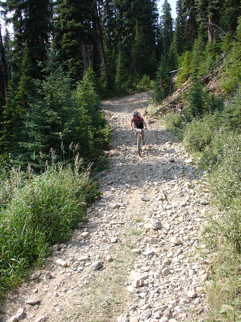
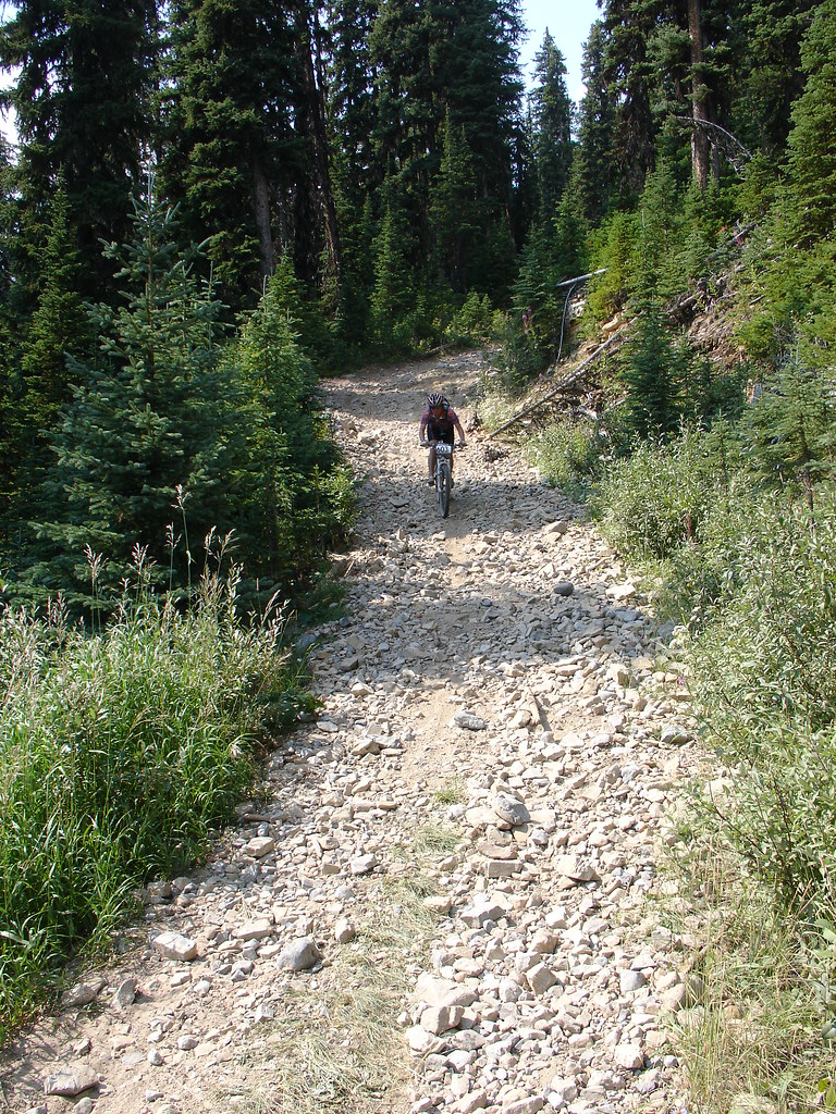
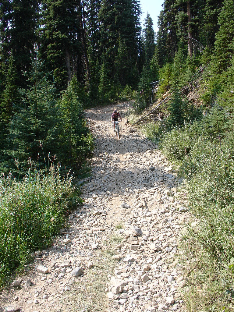
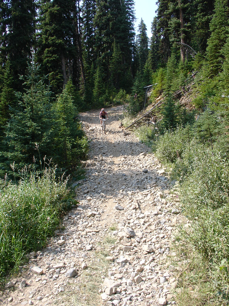
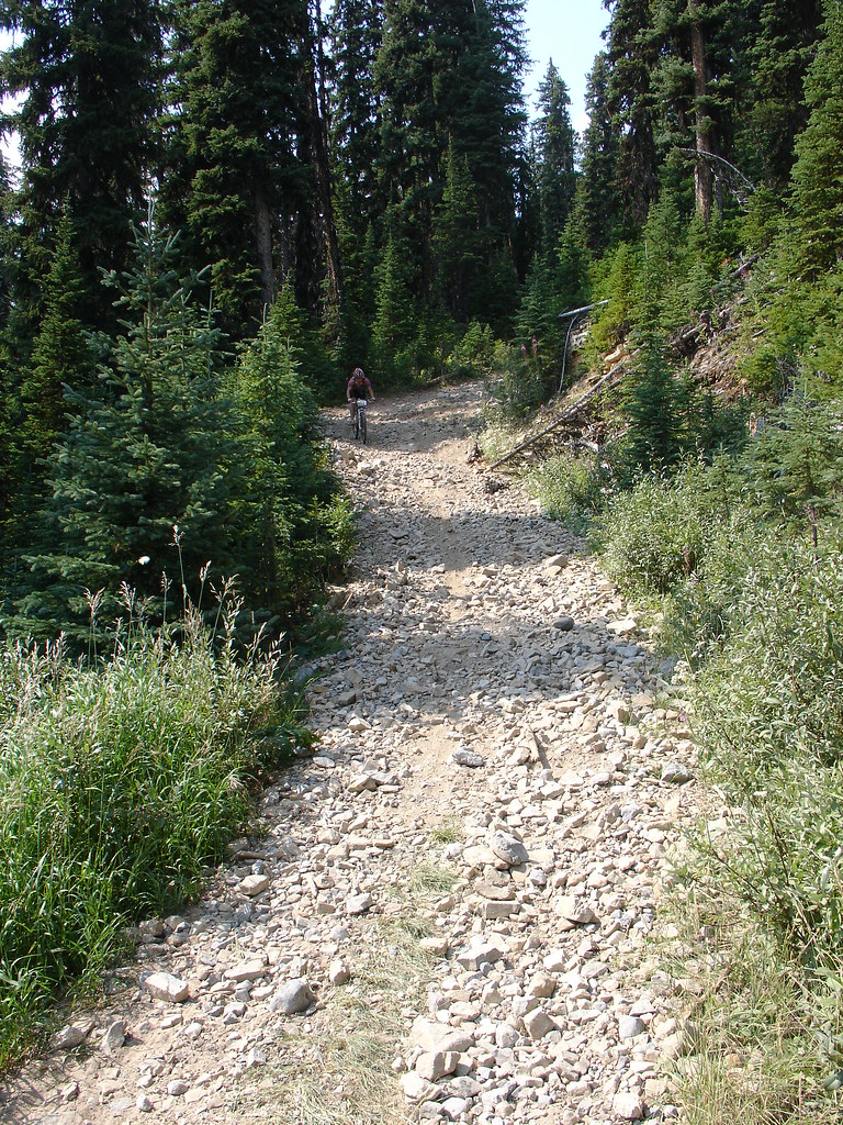
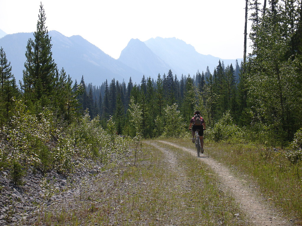
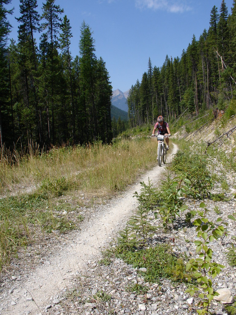
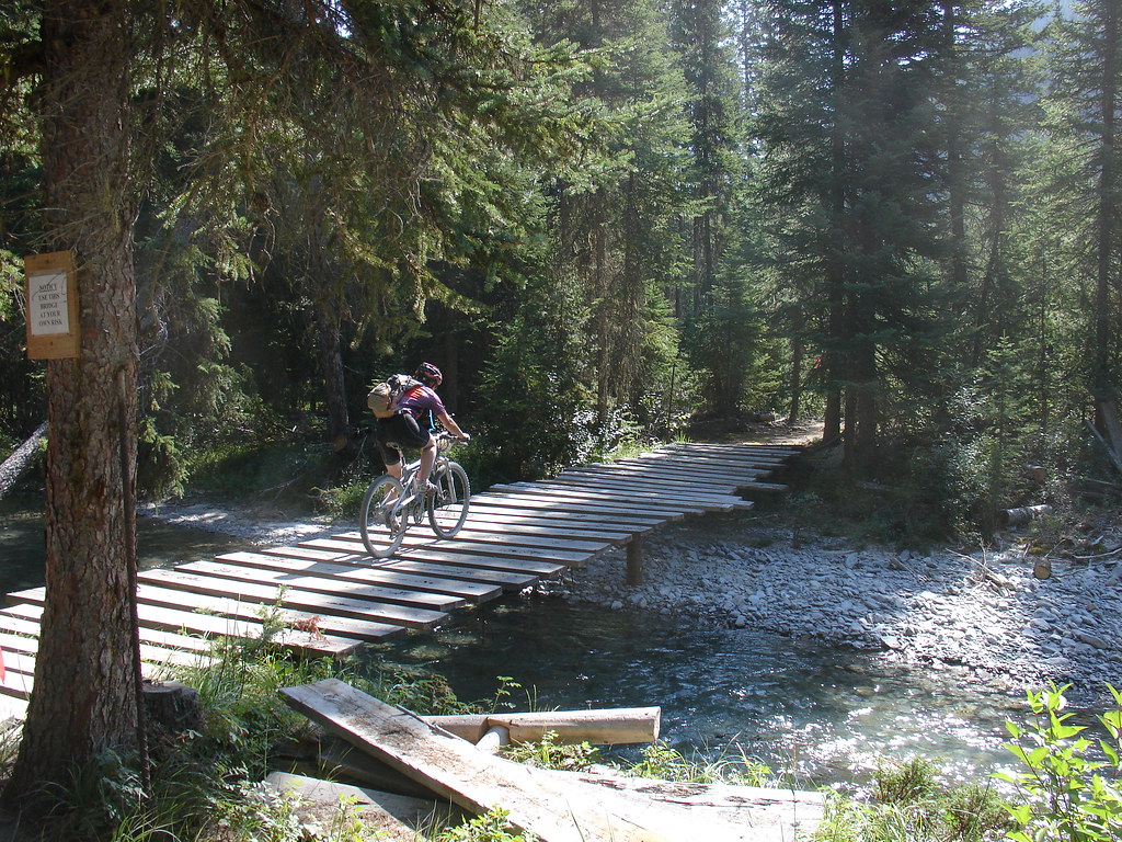
Fotos

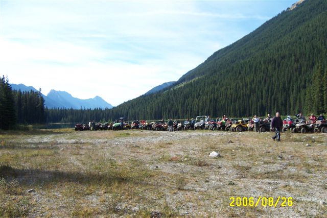
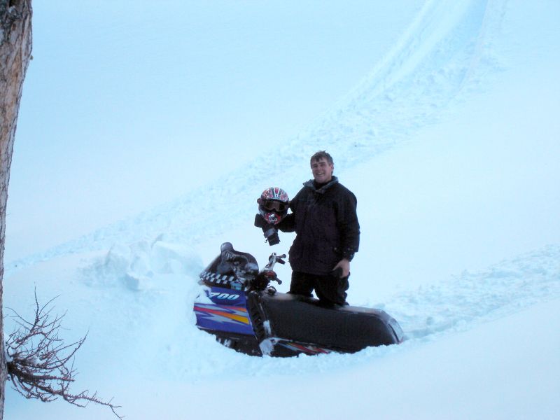
Sept.25- 28- 2006 BC Quad Trip 034.jpg
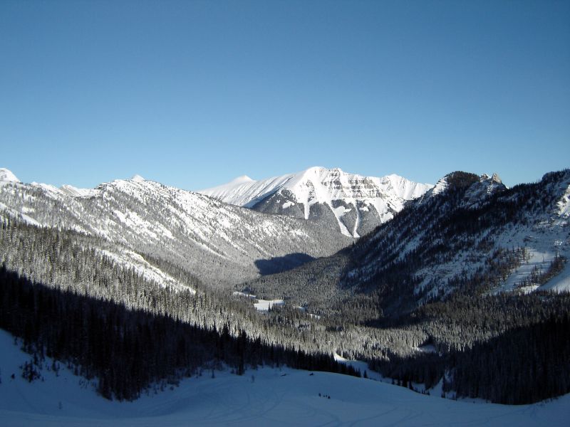
View north from the big slide
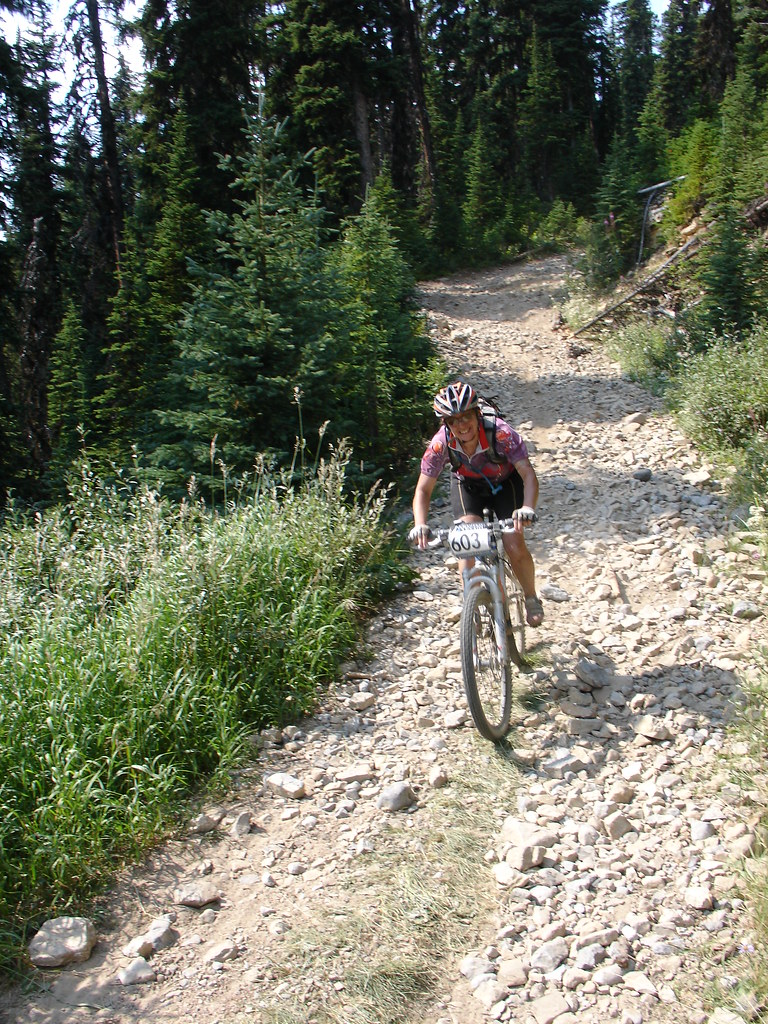
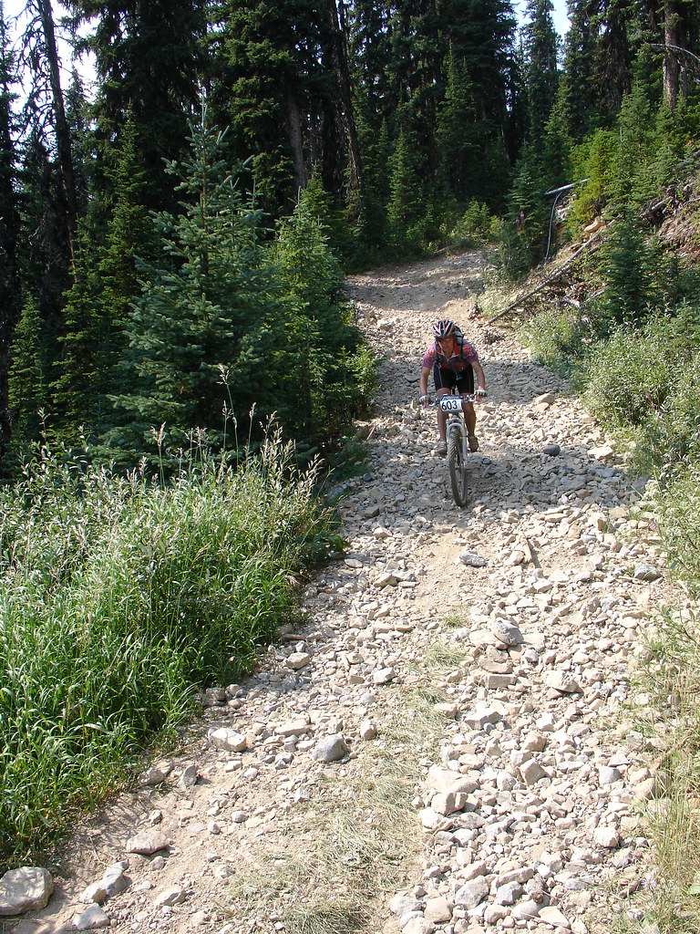
Sept.25- 28- 2006 BC Quad Trip 028.jpg
DSC05074.JPG
DSC05073.JPG
DSC05072.JPG
DSC05071.JPG
DSC05070.JPG
DSC05069.JPG

DSC05068.JPG
DSC05067.JPG

DSC05066.JPG
DSC05065.JPG
DSC05064.JPG
DSC05063.JPG

DSC05051.JPG

But the rock had other plans
Marcel was going to jump that rock

Immovable object

View north from the rolling hills

The rolling hills
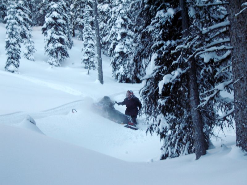
Breaking trail
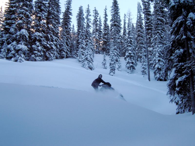
Awesome snow where Wayne's snowsoe tracks ended
Mapa de Mount Harrison, East Kootenay C, BC V0B, Canadá
Buscar otro lugar
Lugares cercanos
Mount Mike, East Kootenay F, BC V0B, Canadá
Mount Vanbuskirk, East Kootenay A, BC V0B 2G3, Canadá
Mount Hornickel, East Kootenay A, BC V0B, Canadá
Nashton Crescent, Elkford, BC V0B 1H0, Canadá
Elkford, BC V0B, Canadá
Mount Washburn, East Kootenay A, BC V0B, Canadá
Elkford, BC V0B, Canadá
Elkford, BC V0B 1H0, Canadá
Mount Abruzzi, East Kootenay F, BC V0B, Canadá
Mount Tuxford, East Kootenay A, BC V0B, Canadá
Peak 09-48, East Kootenay A, BC V0B, Canadá
Gass SW3, East Kootenay A, BC V0B, Canadá
Mount Veits, East Kootenay A, BC V0B, Canadá
Courcelette NW2, East Kootenay A, BC V0B, Canadá
Weary Ridge, East Kootenay A, BC V0B, Canadá
O'Rourke W3, East Kootenay A, BC V0B, Canadá
Gill Peak, East Kootenay A, BC V0B, Canadá
Courcelette NW3, East Kootenay A, BC V0B, Canadá
Courcelette Peak, East Kootenay A, BC V0B, Canadá
Sparwood, BC, Canadá
Búsquedas recientes
- Horas de salida y puesta de sol de Mezzovico-Vira, Suiza
- Horas de salida y puesta de sol de Dawa Gengzha, PPF6+WGM, Baoxing County, Yaan, Sichuan, China
- Horas de salida y puesta de sol de Hickory Blvd, Bonita Springs, FL, USA
- Horas de salida y puesta de sol de Ogbosuware Health Centre, 2WWJ+4PJ, Lalagbene, Bayelsa, Nigeria
- Horas de salida y puesta de sol de Caesar Park Kenting, No. 6號, Kending Rd, Hengchun Township, Pingtung County, Taiwán
- Horas de salida y puesta de sol de Hadiya, Ethiopia
- Horas de salida y puesta de sol de Hosaina, Etiopía
- Horas de salida y puesta de sol de Necochea, Provincia de Buenos Aires, Argentina
- Horas de salida y puesta de sol de Maxine St NE, Albuquerque, NM, USA
- Horas de salida y puesta de sol de Manhattan Special Economic Zone, Camboya, Krong Bavet, City