Horas de salida y puesta de sol de Mount Hornickel, East Kootenay A, BC V0B, Canadá
Location: Canadá > Columbia Británica > East Kootenay > Elkford >
Zona horaria:
America/Edmonton
Hora local:
2024-05-14 17:00:29
Longitud:
-115.095
Latitud:
50.2566666
Salida de sol de hoy:
05:51:43 AM
Puesta de sol de hoy:
09:21:47 PM
La duración del día hoy:
15h 30m 4s
Salida de sol de mañana:
05:50:23 AM
Puesta de sol de mañana:
09:23:11 PM
La duración del día mañana:
15h 32m 48s
Mostrar todas las fechas
| Fecha | Salida de sol | Puesta de sol | Duración del día |
|---|---|---|---|
| 01/01/2024 | 08:39:49 AM | 04:48:38 PM | 8h 8m 49s |
| 02/01/2024 | 08:39:41 AM | 04:49:42 PM | 8h 10m 1s |
| 03/01/2024 | 08:39:30 AM | 04:50:48 PM | 8h 11m 18s |
| 04/01/2024 | 08:39:15 AM | 04:51:56 PM | 8h 12m 41s |
| 05/01/2024 | 08:38:58 AM | 04:53:07 PM | 8h 14m 9s |
| 06/01/2024 | 08:38:37 AM | 04:54:20 PM | 8h 15m 43s |
| 07/01/2024 | 08:38:14 AM | 04:55:35 PM | 8h 17m 21s |
| 08/01/2024 | 08:37:47 AM | 04:56:52 PM | 8h 19m 5s |
| 09/01/2024 | 08:37:17 AM | 04:58:11 PM | 8h 20m 54s |
| 10/01/2024 | 08:36:44 AM | 04:59:32 PM | 8h 22m 48s |
| 11/01/2024 | 08:36:09 AM | 05:00:55 PM | 8h 24m 46s |
| 12/01/2024 | 08:35:30 AM | 05:02:19 PM | 8h 26m 49s |
| 13/01/2024 | 08:34:48 AM | 05:03:46 PM | 8h 28m 58s |
| 14/01/2024 | 08:34:04 AM | 05:05:13 PM | 8h 31m 9s |
| 15/01/2024 | 08:33:16 AM | 05:06:43 PM | 8h 33m 27s |
| 16/01/2024 | 08:32:26 AM | 05:08:13 PM | 8h 35m 47s |
| 17/01/2024 | 08:31:33 AM | 05:09:45 PM | 8h 38m 12s |
| 18/01/2024 | 08:30:38 AM | 05:11:18 PM | 8h 40m 40s |
| 19/01/2024 | 08:29:40 AM | 05:12:53 PM | 8h 43m 13s |
| 20/01/2024 | 08:28:39 AM | 05:14:28 PM | 8h 45m 49s |
| 21/01/2024 | 08:27:36 AM | 05:16:04 PM | 8h 48m 28s |
| 22/01/2024 | 08:26:30 AM | 05:17:42 PM | 8h 51m 12s |
| 23/01/2024 | 08:25:22 AM | 05:19:20 PM | 8h 53m 58s |
| 24/01/2024 | 08:24:11 AM | 05:20:59 PM | 8h 56m 48s |
| 25/01/2024 | 08:22:58 AM | 05:22:39 PM | 8h 59m 41s |
| 26/01/2024 | 08:21:43 AM | 05:24:20 PM | 9h 2m 37s |
| 27/01/2024 | 08:20:25 AM | 05:26:01 PM | 9h 5m 36s |
| 28/01/2024 | 08:19:06 AM | 05:27:43 PM | 9h 8m 37s |
| 29/01/2024 | 08:17:44 AM | 05:29:25 PM | 9h 11m 41s |
| 30/01/2024 | 08:16:20 AM | 05:31:08 PM | 9h 14m 48s |
| 31/01/2024 | 08:14:54 AM | 05:32:51 PM | 9h 17m 57s |
| 01/02/2024 | 08:13:26 AM | 05:34:34 PM | 9h 21m 8s |
| 02/02/2024 | 08:11:57 AM | 05:36:18 PM | 9h 24m 21s |
| 03/02/2024 | 08:10:25 AM | 05:38:02 PM | 9h 27m 37s |
| 04/02/2024 | 08:08:51 AM | 05:39:46 PM | 9h 30m 55s |
| 05/02/2024 | 08:07:16 AM | 05:41:31 PM | 9h 34m 15s |
| 06/02/2024 | 08:05:39 AM | 05:43:15 PM | 9h 37m 36s |
| 07/02/2024 | 08:04:00 AM | 05:45:00 PM | 9h 41m 0s |
| 08/02/2024 | 08:02:20 AM | 05:46:44 PM | 9h 44m 24s |
| 09/02/2024 | 08:00:38 AM | 05:48:29 PM | 9h 47m 51s |
| 10/02/2024 | 07:58:55 AM | 05:50:14 PM | 9h 51m 19s |
| 11/02/2024 | 07:57:10 AM | 05:51:58 PM | 9h 54m 48s |
| 12/02/2024 | 07:55:24 AM | 05:53:43 PM | 9h 58m 19s |
| 13/02/2024 | 07:53:36 AM | 05:55:27 PM | 10h 1m 51s |
| 14/02/2024 | 07:51:47 AM | 05:57:11 PM | 10h 5m 24s |
| 15/02/2024 | 07:49:57 AM | 05:58:55 PM | 10h 8m 58s |
| 16/02/2024 | 07:48:05 AM | 06:00:39 PM | 10h 12m 34s |
| 17/02/2024 | 07:46:12 AM | 06:02:23 PM | 10h 16m 11s |
| 18/02/2024 | 07:44:18 AM | 06:04:06 PM | 10h 19m 48s |
| 19/02/2024 | 07:42:23 AM | 06:05:50 PM | 10h 23m 27s |
| 20/02/2024 | 07:40:27 AM | 06:07:33 PM | 10h 27m 6s |
| 21/02/2024 | 07:38:30 AM | 06:09:16 PM | 10h 30m 46s |
| 22/02/2024 | 07:36:31 AM | 06:10:58 PM | 10h 34m 27s |
| 23/02/2024 | 07:34:32 AM | 06:12:41 PM | 10h 38m 9s |
| 24/02/2024 | 07:32:32 AM | 06:14:23 PM | 10h 41m 51s |
| 25/02/2024 | 07:30:31 AM | 06:16:05 PM | 10h 45m 34s |
| 26/02/2024 | 07:28:29 AM | 06:17:46 PM | 10h 49m 17s |
| 27/02/2024 | 07:26:26 AM | 06:19:27 PM | 10h 53m 1s |
| 28/02/2024 | 07:24:23 AM | 06:21:08 PM | 10h 56m 45s |
| 29/02/2024 | 07:22:19 AM | 06:22:49 PM | 11h 0m 30s |
| 01/03/2024 | 07:20:14 AM | 06:24:29 PM | 11h 4m 15s |
| 02/03/2024 | 07:18:08 AM | 06:26:10 PM | 11h 8m 2s |
| 03/03/2024 | 07:16:02 AM | 06:27:49 PM | 11h 11m 47s |
| 04/03/2024 | 07:13:55 AM | 06:29:29 PM | 11h 15m 34s |
| 05/03/2024 | 07:11:48 AM | 06:31:08 PM | 11h 19m 20s |
| 06/03/2024 | 07:09:40 AM | 06:32:47 PM | 11h 23m 7s |
| 07/03/2024 | 07:07:31 AM | 06:34:26 PM | 11h 26m 55s |
| 08/03/2024 | 07:05:22 AM | 06:36:05 PM | 11h 30m 43s |
| 09/03/2024 | 07:03:13 AM | 06:37:43 PM | 11h 34m 30s |
| 10/03/2024 | 08:01:09 AM | 07:39:17 PM | 11h 38m 8s |
| 11/03/2024 | 07:58:59 AM | 07:40:55 PM | 11h 41m 56s |
| 12/03/2024 | 07:56:49 AM | 07:42:33 PM | 11h 45m 44s |
| 13/03/2024 | 07:54:38 AM | 07:44:10 PM | 11h 49m 32s |
| 14/03/2024 | 07:52:27 AM | 07:45:47 PM | 11h 53m 20s |
| 15/03/2024 | 07:50:16 AM | 07:47:24 PM | 11h 57m 8s |
| 16/03/2024 | 07:48:04 AM | 07:49:01 PM | 12h 0m 57s |
| 17/03/2024 | 07:45:53 AM | 07:50:38 PM | 12h 4m 45s |
| 18/03/2024 | 07:43:41 AM | 07:52:14 PM | 12h 8m 33s |
| 19/03/2024 | 07:41:29 AM | 07:53:50 PM | 12h 12m 21s |
| 20/03/2024 | 07:39:17 AM | 07:55:27 PM | 12h 16m 10s |
| 21/03/2024 | 07:37:05 AM | 07:57:03 PM | 12h 19m 58s |
| 22/03/2024 | 07:34:53 AM | 07:58:39 PM | 12h 23m 46s |
| 23/03/2024 | 07:32:41 AM | 08:00:14 PM | 12h 27m 33s |
| 24/03/2024 | 07:30:30 AM | 08:01:50 PM | 12h 31m 20s |
| 25/03/2024 | 07:28:18 AM | 08:03:26 PM | 12h 35m 8s |
| 26/03/2024 | 07:26:06 AM | 08:05:01 PM | 12h 38m 55s |
| 27/03/2024 | 07:23:54 AM | 08:06:37 PM | 12h 42m 43s |
| 28/03/2024 | 07:21:43 AM | 08:08:12 PM | 12h 46m 29s |
| 29/03/2024 | 07:19:32 AM | 08:09:47 PM | 12h 50m 15s |
| 30/03/2024 | 07:17:21 AM | 08:11:23 PM | 12h 54m 2s |
| 31/03/2024 | 07:15:10 AM | 08:12:58 PM | 12h 57m 48s |
| 01/04/2024 | 07:12:59 AM | 08:14:33 PM | 13h 1m 34s |
| 02/04/2024 | 07:10:49 AM | 08:16:08 PM | 13h 5m 19s |
| 03/04/2024 | 07:08:39 AM | 08:17:43 PM | 13h 9m 4s |
| 04/04/2024 | 07:06:30 AM | 08:19:19 PM | 13h 12m 49s |
| 05/04/2024 | 07:04:21 AM | 08:20:54 PM | 13h 16m 33s |
| 06/04/2024 | 07:02:12 AM | 08:22:29 PM | 13h 20m 17s |
| 07/04/2024 | 07:00:04 AM | 08:24:04 PM | 13h 24m 0s |
| 08/04/2024 | 06:57:57 AM | 08:25:39 PM | 13h 27m 42s |
| 09/04/2024 | 06:55:50 AM | 08:27:14 PM | 13h 31m 24s |
| 10/04/2024 | 06:53:43 AM | 08:28:49 PM | 13h 35m 6s |
| 11/04/2024 | 06:51:38 AM | 08:30:24 PM | 13h 38m 46s |
| 12/04/2024 | 06:49:32 AM | 08:31:59 PM | 13h 42m 27s |
| 13/04/2024 | 06:47:28 AM | 08:33:34 PM | 13h 46m 6s |
| 14/04/2024 | 06:45:24 AM | 08:35:09 PM | 13h 49m 45s |
| 15/04/2024 | 06:43:21 AM | 08:36:44 PM | 13h 53m 23s |
| 16/04/2024 | 06:41:19 AM | 08:38:19 PM | 13h 57m 0s |
| 17/04/2024 | 06:39:17 AM | 08:39:54 PM | 14h 0m 37s |
| 18/04/2024 | 06:37:17 AM | 08:41:28 PM | 14h 4m 11s |
| 19/04/2024 | 06:35:17 AM | 08:43:03 PM | 14h 7m 46s |
| 20/04/2024 | 06:33:19 AM | 08:44:38 PM | 14h 11m 19s |
| 21/04/2024 | 06:31:21 AM | 08:46:12 PM | 14h 14m 51s |
| 22/04/2024 | 06:29:24 AM | 08:47:47 PM | 14h 18m 23s |
| 23/04/2024 | 06:27:29 AM | 08:49:21 PM | 14h 21m 52s |
| 24/04/2024 | 06:25:34 AM | 08:50:56 PM | 14h 25m 22s |
| 25/04/2024 | 06:23:41 AM | 08:52:30 PM | 14h 28m 49s |
| 26/04/2024 | 06:21:48 AM | 08:54:04 PM | 14h 32m 16s |
| 27/04/2024 | 06:19:57 AM | 08:55:38 PM | 14h 35m 41s |
| 28/04/2024 | 06:18:07 AM | 08:57:11 PM | 14h 39m 4s |
| 29/04/2024 | 06:16:19 AM | 08:58:44 PM | 14h 42m 25s |
| 30/04/2024 | 06:14:32 AM | 09:00:17 PM | 14h 45m 45s |
| 01/05/2024 | 06:12:46 AM | 09:01:50 PM | 14h 49m 4s |
| 02/05/2024 | 06:11:02 AM | 09:03:23 PM | 14h 52m 21s |
| 03/05/2024 | 06:09:19 AM | 09:04:55 PM | 14h 55m 36s |
| 04/05/2024 | 06:07:38 AM | 09:06:26 PM | 14h 58m 48s |
| 05/05/2024 | 06:05:58 AM | 09:07:57 PM | 15h 1m 59s |
| 06/05/2024 | 06:04:20 AM | 09:09:28 PM | 15h 5m 8s |
| 07/05/2024 | 06:02:43 AM | 09:10:58 PM | 15h 8m 15s |
| 08/05/2024 | 06:01:08 AM | 09:12:28 PM | 15h 11m 20s |
| 09/05/2024 | 05:59:35 AM | 09:13:57 PM | 15h 14m 22s |
| 10/05/2024 | 05:58:04 AM | 09:15:25 PM | 15h 17m 21s |
| 11/05/2024 | 05:56:35 AM | 09:16:53 PM | 15h 20m 18s |
| 12/05/2024 | 05:55:07 AM | 09:18:20 PM | 15h 23m 13s |
| 13/05/2024 | 05:53:41 AM | 09:19:46 PM | 15h 26m 5s |
| 14/05/2024 | 05:52:18 AM | 09:21:12 PM | 15h 28m 54s |
| 15/05/2024 | 05:50:56 AM | 09:22:36 PM | 15h 31m 40s |
| 16/05/2024 | 05:49:36 AM | 09:24:00 PM | 15h 34m 24s |
| 17/05/2024 | 05:48:19 AM | 09:25:22 PM | 15h 37m 3s |
| 18/05/2024 | 05:47:04 AM | 09:26:44 PM | 15h 39m 40s |
| 19/05/2024 | 05:45:51 AM | 09:28:04 PM | 15h 42m 13s |
| 20/05/2024 | 05:44:40 AM | 09:29:23 PM | 15h 44m 43s |
| 21/05/2024 | 05:43:31 AM | 09:30:41 PM | 15h 47m 10s |
| 22/05/2024 | 05:42:25 AM | 09:31:58 PM | 15h 49m 33s |
| 23/05/2024 | 05:41:21 AM | 09:33:13 PM | 15h 51m 52s |
| 24/05/2024 | 05:40:20 AM | 09:34:26 PM | 15h 54m 6s |
| 25/05/2024 | 05:39:21 AM | 09:35:39 PM | 15h 56m 18s |
| 26/05/2024 | 05:38:24 AM | 09:36:49 PM | 15h 58m 25s |
| 27/05/2024 | 05:37:31 AM | 09:37:59 PM | 16h 0m 28s |
| 28/05/2024 | 05:36:39 AM | 09:39:06 PM | 16h 2m 27s |
| 29/05/2024 | 05:35:51 AM | 09:40:12 PM | 16h 4m 21s |
| 30/05/2024 | 05:35:05 AM | 09:41:15 PM | 16h 6m 10s |
| 31/05/2024 | 05:34:21 AM | 09:42:17 PM | 16h 7m 56s |
| 01/06/2024 | 05:33:41 AM | 09:43:17 PM | 16h 9m 36s |
| 02/06/2024 | 05:33:03 AM | 09:44:15 PM | 16h 11m 12s |
| 03/06/2024 | 05:32:28 AM | 09:45:11 PM | 16h 12m 43s |
| 04/06/2024 | 05:31:55 AM | 09:46:05 PM | 16h 14m 10s |
| 05/06/2024 | 05:31:26 AM | 09:46:56 PM | 16h 15m 30s |
| 06/06/2024 | 05:30:59 AM | 09:47:46 PM | 16h 16m 47s |
| 07/06/2024 | 05:30:35 AM | 09:48:32 PM | 16h 17m 57s |
| 08/06/2024 | 05:30:15 AM | 09:49:17 PM | 16h 19m 2s |
| 09/06/2024 | 05:29:56 AM | 09:49:59 PM | 16h 20m 3s |
| 10/06/2024 | 05:29:41 AM | 09:50:39 PM | 16h 20m 58s |
| 11/06/2024 | 05:29:29 AM | 09:51:16 PM | 16h 21m 47s |
| 12/06/2024 | 05:29:20 AM | 09:51:50 PM | 16h 22m 30s |
| 13/06/2024 | 05:29:13 AM | 09:52:22 PM | 16h 23m 9s |
| 14/06/2024 | 05:29:10 AM | 09:52:52 PM | 16h 23m 42s |
| 15/06/2024 | 05:29:09 AM | 09:53:18 PM | 16h 24m 9s |
| 16/06/2024 | 05:29:12 AM | 09:53:42 PM | 16h 24m 30s |
| 17/06/2024 | 05:29:17 AM | 09:54:03 PM | 16h 24m 46s |
| 18/06/2024 | 05:29:25 AM | 09:54:21 PM | 16h 24m 56s |
| 19/06/2024 | 05:29:36 AM | 09:54:36 PM | 16h 25m 0s |
| 20/06/2024 | 05:29:49 AM | 09:54:49 PM | 16h 25m 0s |
| 21/06/2024 | 05:30:06 AM | 09:54:58 PM | 16h 24m 52s |
| 22/06/2024 | 05:30:25 AM | 09:55:05 PM | 16h 24m 40s |
| 23/06/2024 | 05:30:47 AM | 09:55:09 PM | 16h 24m 22s |
| 24/06/2024 | 05:31:11 AM | 09:55:09 PM | 16h 23m 58s |
| 25/06/2024 | 05:31:39 AM | 09:55:07 PM | 16h 23m 28s |
| 26/06/2024 | 05:32:09 AM | 09:55:02 PM | 16h 22m 53s |
| 27/06/2024 | 05:32:41 AM | 09:54:54 PM | 16h 22m 13s |
| 28/06/2024 | 05:33:16 AM | 09:54:43 PM | 16h 21m 27s |
| 29/06/2024 | 05:33:54 AM | 09:54:29 PM | 16h 20m 35s |
| 30/06/2024 | 05:34:34 AM | 09:54:12 PM | 16h 19m 38s |
| 01/07/2024 | 05:35:16 AM | 09:53:53 PM | 16h 18m 37s |
| 02/07/2024 | 05:36:01 AM | 09:53:30 PM | 16h 17m 29s |
| 03/07/2024 | 05:36:47 AM | 09:53:04 PM | 16h 16m 17s |
| 04/07/2024 | 05:37:37 AM | 09:52:36 PM | 16h 14m 59s |
| 05/07/2024 | 05:38:28 AM | 09:52:04 PM | 16h 13m 36s |
| 06/07/2024 | 05:39:21 AM | 09:51:30 PM | 16h 12m 9s |
| 07/07/2024 | 05:40:17 AM | 09:50:53 PM | 16h 10m 36s |
| 08/07/2024 | 05:41:14 AM | 09:50:13 PM | 16h 8m 59s |
| 09/07/2024 | 05:42:13 AM | 09:49:30 PM | 16h 7m 17s |
| 10/07/2024 | 05:43:14 AM | 09:48:45 PM | 16h 5m 31s |
| 11/07/2024 | 05:44:17 AM | 09:47:57 PM | 16h 3m 40s |
| 12/07/2024 | 05:45:22 AM | 09:47:06 PM | 16h 1m 44s |
| 13/07/2024 | 05:46:28 AM | 09:46:13 PM | 15h 59m 45s |
| 14/07/2024 | 05:47:36 AM | 09:45:17 PM | 15h 57m 41s |
| 15/07/2024 | 05:48:45 AM | 09:44:19 PM | 15h 55m 34s |
| 16/07/2024 | 05:49:56 AM | 09:43:18 PM | 15h 53m 22s |
| 17/07/2024 | 05:51:08 AM | 09:42:15 PM | 15h 51m 7s |
| 18/07/2024 | 05:52:21 AM | 09:41:09 PM | 15h 48m 48s |
| 19/07/2024 | 05:53:36 AM | 09:40:01 PM | 15h 46m 25s |
| 20/07/2024 | 05:54:52 AM | 09:38:50 PM | 15h 43m 58s |
| 21/07/2024 | 05:56:09 AM | 09:37:37 PM | 15h 41m 28s |
| 22/07/2024 | 05:57:27 AM | 09:36:22 PM | 15h 38m 55s |
| 23/07/2024 | 05:58:46 AM | 09:35:05 PM | 15h 36m 19s |
| 24/07/2024 | 06:00:06 AM | 09:33:46 PM | 15h 33m 40s |
| 25/07/2024 | 06:01:27 AM | 09:32:24 PM | 15h 30m 57s |
| 26/07/2024 | 06:02:49 AM | 09:31:01 PM | 15h 28m 12s |
| 27/07/2024 | 06:04:12 AM | 09:29:35 PM | 15h 25m 23s |
| 28/07/2024 | 06:05:35 AM | 09:28:08 PM | 15h 22m 33s |
| 29/07/2024 | 06:06:59 AM | 09:26:38 PM | 15h 19m 39s |
| 30/07/2024 | 06:08:24 AM | 09:25:07 PM | 15h 16m 43s |
| 31/07/2024 | 06:09:49 AM | 09:23:34 PM | 15h 13m 45s |
| 01/08/2024 | 06:11:15 AM | 09:21:59 PM | 15h 10m 44s |
| 02/08/2024 | 06:12:42 AM | 09:20:22 PM | 15h 7m 40s |
| 03/08/2024 | 06:14:09 AM | 09:18:44 PM | 15h 4m 35s |
| 04/08/2024 | 06:15:36 AM | 09:17:04 PM | 15h 1m 28s |
| 05/08/2024 | 06:17:04 AM | 09:15:23 PM | 14h 58m 19s |
| 06/08/2024 | 06:18:32 AM | 09:13:40 PM | 14h 55m 8s |
| 07/08/2024 | 06:20:00 AM | 09:11:55 PM | 14h 51m 55s |
| 08/08/2024 | 06:21:29 AM | 09:10:09 PM | 14h 48m 40s |
| 09/08/2024 | 06:22:58 AM | 09:08:22 PM | 14h 45m 24s |
| 10/08/2024 | 06:24:27 AM | 09:06:33 PM | 14h 42m 6s |
| 11/08/2024 | 06:25:57 AM | 09:04:43 PM | 14h 38m 46s |
| 12/08/2024 | 06:27:26 AM | 09:02:51 PM | 14h 35m 25s |
| 13/08/2024 | 06:28:56 AM | 09:00:59 PM | 14h 32m 3s |
| 14/08/2024 | 06:30:26 AM | 08:59:05 PM | 14h 28m 39s |
| 15/08/2024 | 06:31:56 AM | 08:57:10 PM | 14h 25m 14s |
| 16/08/2024 | 06:33:26 AM | 08:55:14 PM | 14h 21m 48s |
| 17/08/2024 | 06:34:56 AM | 08:53:17 PM | 14h 18m 21s |
| 18/08/2024 | 06:36:26 AM | 08:51:18 PM | 14h 14m 52s |
| 19/08/2024 | 06:37:57 AM | 08:49:19 PM | 14h 11m 22s |
| 20/08/2024 | 06:39:27 AM | 08:47:19 PM | 14h 7m 52s |
| 21/08/2024 | 06:40:57 AM | 08:45:18 PM | 14h 4m 21s |
| 22/08/2024 | 06:42:28 AM | 08:43:16 PM | 14h 0m 48s |
| 23/08/2024 | 06:43:58 AM | 08:41:13 PM | 13h 57m 15s |
| 24/08/2024 | 06:45:29 AM | 08:39:09 PM | 13h 53m 40s |
| 25/08/2024 | 06:46:59 AM | 08:37:04 PM | 13h 50m 5s |
| 26/08/2024 | 06:48:29 AM | 08:34:59 PM | 13h 46m 30s |
| 27/08/2024 | 06:50:00 AM | 08:32:53 PM | 13h 42m 53s |
| 28/08/2024 | 06:51:30 AM | 08:30:47 PM | 13h 39m 17s |
| 29/08/2024 | 06:53:00 AM | 08:28:39 PM | 13h 35m 39s |
| 30/08/2024 | 06:54:31 AM | 08:26:31 PM | 13h 32m 0s |
| 31/08/2024 | 06:56:01 AM | 08:24:23 PM | 13h 28m 22s |
| 01/09/2024 | 06:57:31 AM | 08:22:14 PM | 13h 24m 43s |
| 02/09/2024 | 06:59:01 AM | 08:20:04 PM | 13h 21m 3s |
| 03/09/2024 | 07:00:31 AM | 08:17:54 PM | 13h 17m 23s |
| 04/09/2024 | 07:02:02 AM | 08:15:44 PM | 13h 13m 42s |
| 05/09/2024 | 07:03:32 AM | 08:13:33 PM | 13h 10m 1s |
| 06/09/2024 | 07:05:02 AM | 08:11:22 PM | 13h 6m 20s |
| 07/09/2024 | 07:06:32 AM | 08:09:10 PM | 13h 2m 38s |
| 08/09/2024 | 07:08:02 AM | 08:06:58 PM | 12h 58m 56s |
| 09/09/2024 | 07:09:33 AM | 08:04:46 PM | 12h 55m 13s |
| 10/09/2024 | 07:11:03 AM | 08:02:33 PM | 12h 51m 30s |
| 11/09/2024 | 07:12:33 AM | 08:00:20 PM | 12h 47m 47s |
| 12/09/2024 | 07:14:03 AM | 07:58:07 PM | 12h 44m 4s |
| 13/09/2024 | 07:15:34 AM | 07:55:54 PM | 12h 40m 20s |
| 14/09/2024 | 07:17:04 AM | 07:53:41 PM | 12h 36m 37s |
| 15/09/2024 | 07:18:35 AM | 07:51:27 PM | 12h 32m 52s |
| 16/09/2024 | 07:20:05 AM | 07:49:14 PM | 12h 29m 9s |
| 17/09/2024 | 07:21:36 AM | 07:47:00 PM | 12h 25m 24s |
| 18/09/2024 | 07:23:07 AM | 07:44:47 PM | 12h 21m 40s |
| 19/09/2024 | 07:24:38 AM | 07:42:33 PM | 12h 17m 55s |
| 20/09/2024 | 07:26:09 AM | 07:40:20 PM | 12h 14m 11s |
| 21/09/2024 | 07:27:40 AM | 07:38:06 PM | 12h 10m 26s |
| 22/09/2024 | 07:29:11 AM | 07:35:53 PM | 12h 6m 42s |
| 23/09/2024 | 07:30:43 AM | 07:33:40 PM | 12h 2m 57s |
| 24/09/2024 | 07:32:14 AM | 07:31:27 PM | 11h 59m 13s |
| 25/09/2024 | 07:33:46 AM | 07:29:14 PM | 11h 55m 28s |
| 26/09/2024 | 07:35:18 AM | 07:27:01 PM | 11h 51m 43s |
| 27/09/2024 | 07:36:50 AM | 07:24:49 PM | 11h 47m 59s |
| 28/09/2024 | 07:38:23 AM | 07:22:36 PM | 11h 44m 13s |
| 29/09/2024 | 07:39:56 AM | 07:20:25 PM | 11h 40m 29s |
| 30/09/2024 | 07:41:28 AM | 07:18:13 PM | 11h 36m 45s |
| 01/10/2024 | 07:43:02 AM | 07:16:02 PM | 11h 33m 0s |
| 02/10/2024 | 07:44:35 AM | 07:13:51 PM | 11h 29m 16s |
| 03/10/2024 | 07:46:08 AM | 07:11:41 PM | 11h 25m 33s |
| 04/10/2024 | 07:47:42 AM | 07:09:31 PM | 11h 21m 49s |
| 05/10/2024 | 07:49:17 AM | 07:07:22 PM | 11h 18m 5s |
| 06/10/2024 | 07:50:51 AM | 07:05:13 PM | 11h 14m 22s |
| 07/10/2024 | 07:52:26 AM | 07:03:05 PM | 11h 10m 39s |
| 08/10/2024 | 07:54:01 AM | 07:00:57 PM | 11h 6m 56s |
| 09/10/2024 | 07:55:36 AM | 06:58:50 PM | 11h 3m 14s |
| 10/10/2024 | 07:57:12 AM | 06:56:44 PM | 10h 59m 32s |
| 11/10/2024 | 07:58:48 AM | 06:54:38 PM | 10h 55m 50s |
| 12/10/2024 | 08:00:24 AM | 06:52:33 PM | 10h 52m 9s |
| 13/10/2024 | 08:02:00 AM | 06:50:29 PM | 10h 48m 29s |
| 14/10/2024 | 08:03:37 AM | 06:48:25 PM | 10h 44m 48s |
| 15/10/2024 | 08:05:14 AM | 06:46:23 PM | 10h 41m 9s |
| 16/10/2024 | 08:06:52 AM | 06:44:21 PM | 10h 37m 29s |
| 17/10/2024 | 08:08:29 AM | 06:42:21 PM | 10h 33m 52s |
| 18/10/2024 | 08:10:07 AM | 06:40:21 PM | 10h 30m 14s |
| 19/10/2024 | 08:11:46 AM | 06:38:22 PM | 10h 26m 36s |
| 20/10/2024 | 08:13:24 AM | 06:36:25 PM | 10h 23m 1s |
| 21/10/2024 | 08:15:03 AM | 06:34:28 PM | 10h 19m 25s |
| 22/10/2024 | 08:16:42 AM | 06:32:32 PM | 10h 15m 50s |
| 23/10/2024 | 08:18:21 AM | 06:30:38 PM | 10h 12m 17s |
| 24/10/2024 | 08:20:01 AM | 06:28:45 PM | 10h 8m 44s |
| 25/10/2024 | 08:21:41 AM | 06:26:53 PM | 10h 5m 12s |
| 26/10/2024 | 08:23:21 AM | 06:25:02 PM | 10h 1m 41s |
| 27/10/2024 | 08:25:01 AM | 06:23:13 PM | 9h 58m 12s |
| 28/10/2024 | 08:26:41 AM | 06:21:25 PM | 9h 54m 44s |
| 29/10/2024 | 08:28:21 AM | 06:19:39 PM | 9h 51m 18s |
| 30/10/2024 | 08:30:02 AM | 06:17:54 PM | 9h 47m 52s |
| 31/10/2024 | 08:31:42 AM | 06:16:10 PM | 9h 44m 28s |
| 01/11/2024 | 08:33:23 AM | 06:14:28 PM | 9h 41m 5s |
| 02/11/2024 | 08:35:04 AM | 06:12:48 PM | 9h 37m 44s |
| 03/11/2024 | 07:36:49 AM | 05:11:05 PM | 9h 34m 16s |
| 04/11/2024 | 07:38:29 AM | 05:09:29 PM | 9h 31m 0s |
| 05/11/2024 | 07:40:10 AM | 05:07:54 PM | 9h 27m 44s |
| 06/11/2024 | 07:41:50 AM | 05:06:20 PM | 9h 24m 30s |
| 07/11/2024 | 07:43:30 AM | 05:04:49 PM | 9h 21m 19s |
| 08/11/2024 | 07:45:10 AM | 05:03:19 PM | 9h 18m 9s |
| 09/11/2024 | 07:46:50 AM | 05:01:52 PM | 9h 15m 2s |
| 10/11/2024 | 07:48:29 AM | 05:00:26 PM | 9h 11m 57s |
| 11/11/2024 | 07:50:08 AM | 04:59:03 PM | 9h 8m 55s |
| 12/11/2024 | 07:51:47 AM | 04:57:41 PM | 9h 5m 54s |
| 13/11/2024 | 07:53:25 AM | 04:56:22 PM | 9h 2m 57s |
| 14/11/2024 | 07:55:03 AM | 04:55:05 PM | 9h 0m 2s |
| 15/11/2024 | 07:56:40 AM | 04:53:50 PM | 8h 57m 10s |
| 16/11/2024 | 07:58:16 AM | 04:52:38 PM | 8h 54m 22s |
| 17/11/2024 | 07:59:52 AM | 04:51:28 PM | 8h 51m 36s |
| 18/11/2024 | 08:01:26 AM | 04:50:21 PM | 8h 48m 55s |
| 19/11/2024 | 08:03:00 AM | 04:49:15 PM | 8h 46m 15s |
| 20/11/2024 | 08:04:33 AM | 04:48:13 PM | 8h 43m 40s |
| 21/11/2024 | 08:06:05 AM | 04:47:13 PM | 8h 41m 8s |
| 22/11/2024 | 08:07:36 AM | 04:46:16 PM | 8h 38m 40s |
| 23/11/2024 | 08:09:06 AM | 04:45:21 PM | 8h 36m 15s |
| 24/11/2024 | 08:10:35 AM | 04:44:29 PM | 8h 33m 54s |
| 25/11/2024 | 08:12:02 AM | 04:43:40 PM | 8h 31m 38s |
| 26/11/2024 | 08:13:28 AM | 04:42:54 PM | 8h 29m 26s |
| 27/11/2024 | 08:14:53 AM | 04:42:10 PM | 8h 27m 17s |
| 28/11/2024 | 08:16:16 AM | 04:41:30 PM | 8h 25m 14s |
| 29/11/2024 | 08:17:37 AM | 04:40:52 PM | 8h 23m 15s |
| 30/11/2024 | 08:18:57 AM | 04:40:17 PM | 8h 21m 20s |
| 01/12/2024 | 08:20:15 AM | 04:39:46 PM | 8h 19m 31s |
| 02/12/2024 | 08:21:31 AM | 04:39:17 PM | 8h 17m 46s |
| 03/12/2024 | 08:22:45 AM | 04:38:52 PM | 8h 16m 7s |
| 04/12/2024 | 08:23:57 AM | 04:38:30 PM | 8h 14m 33s |
| 05/12/2024 | 08:25:07 AM | 04:38:11 PM | 8h 13m 4s |
| 06/12/2024 | 08:26:15 AM | 04:37:55 PM | 8h 11m 40s |
| 07/12/2024 | 08:27:21 AM | 04:37:42 PM | 8h 10m 21s |
| 08/12/2024 | 08:28:24 AM | 04:37:32 PM | 8h 9m 8s |
| 09/12/2024 | 08:29:25 AM | 04:37:26 PM | 8h 8m 1s |
| 10/12/2024 | 08:30:23 AM | 04:37:23 PM | 8h 7m 0s |
| 11/12/2024 | 08:31:19 AM | 04:37:23 PM | 8h 6m 4s |
| 12/12/2024 | 08:32:13 AM | 04:37:26 PM | 8h 5m 13s |
| 13/12/2024 | 08:33:03 AM | 04:37:33 PM | 8h 4m 30s |
| 14/12/2024 | 08:33:51 AM | 04:37:43 PM | 8h 3m 52s |
| 15/12/2024 | 08:34:37 AM | 04:37:56 PM | 8h 3m 19s |
| 16/12/2024 | 08:35:19 AM | 04:38:12 PM | 8h 2m 53s |
| 17/12/2024 | 08:35:59 AM | 04:38:32 PM | 8h 2m 33s |
| 18/12/2024 | 08:36:35 AM | 04:38:54 PM | 8h 2m 19s |
| 19/12/2024 | 08:37:09 AM | 04:39:20 PM | 8h 2m 11s |
| 20/12/2024 | 08:37:39 AM | 04:39:49 PM | 8h 2m 10s |
| 21/12/2024 | 08:38:07 AM | 04:40:21 PM | 8h 2m 14s |
| 22/12/2024 | 08:38:32 AM | 04:40:56 PM | 8h 2m 24s |
| 23/12/2024 | 08:38:53 AM | 04:41:35 PM | 8h 2m 42s |
| 24/12/2024 | 08:39:11 AM | 04:42:16 PM | 8h 3m 5s |
| 25/12/2024 | 08:39:26 AM | 04:43:00 PM | 8h 3m 34s |
| 26/12/2024 | 08:39:38 AM | 04:43:47 PM | 8h 4m 9s |
| 27/12/2024 | 08:39:47 AM | 04:44:37 PM | 8h 4m 50s |
| 28/12/2024 | 08:39:53 AM | 04:45:29 PM | 8h 5m 36s |
| 29/12/2024 | 08:39:55 AM | 04:46:25 PM | 8h 6m 30s |
| 30/12/2024 | 08:39:54 AM | 04:47:23 PM | 8h 7m 29s |
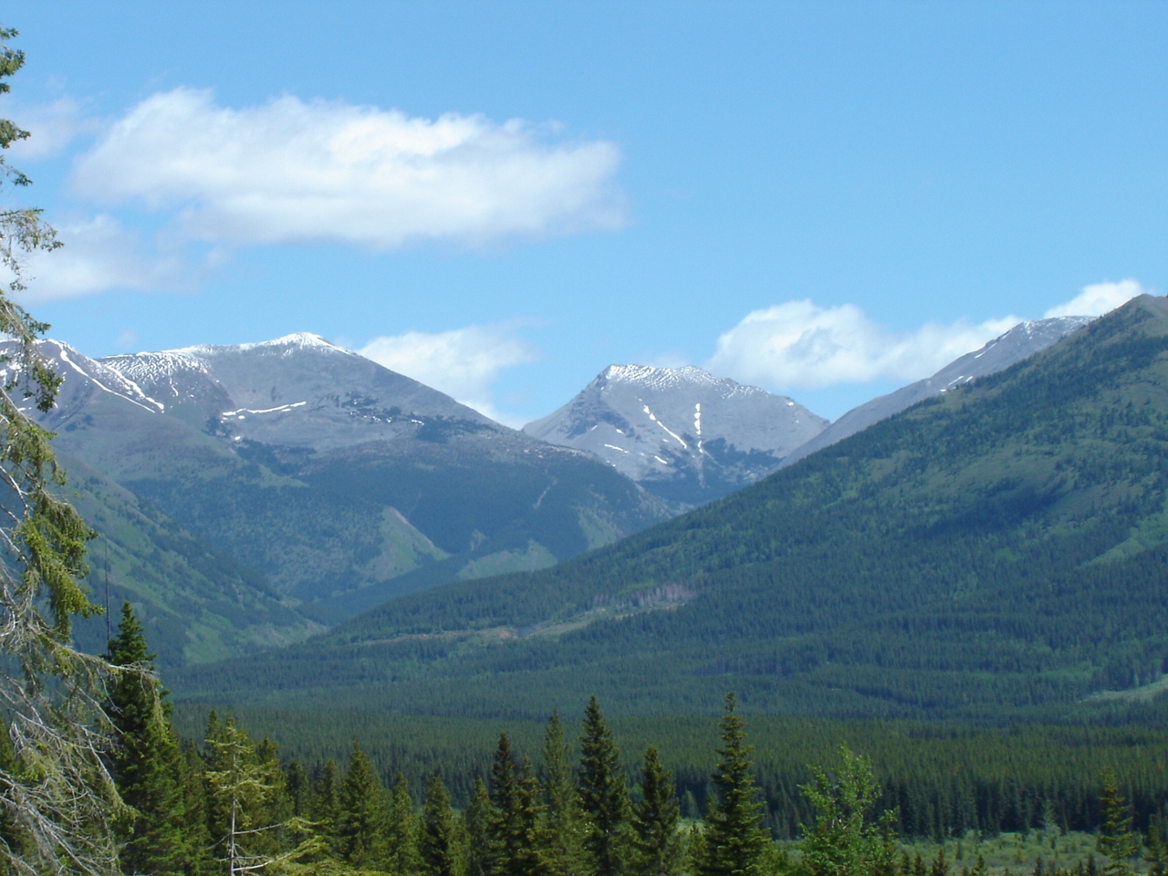
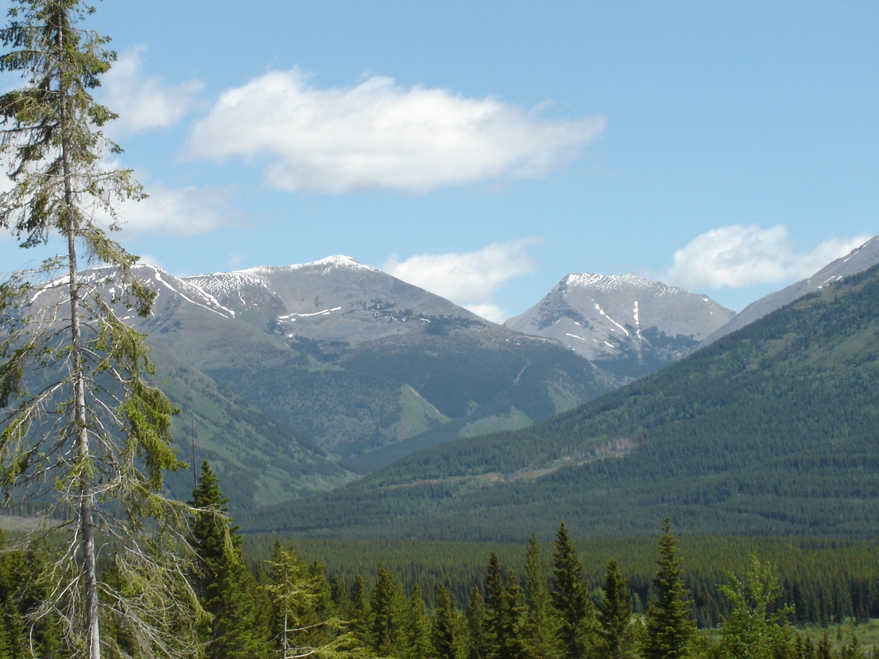
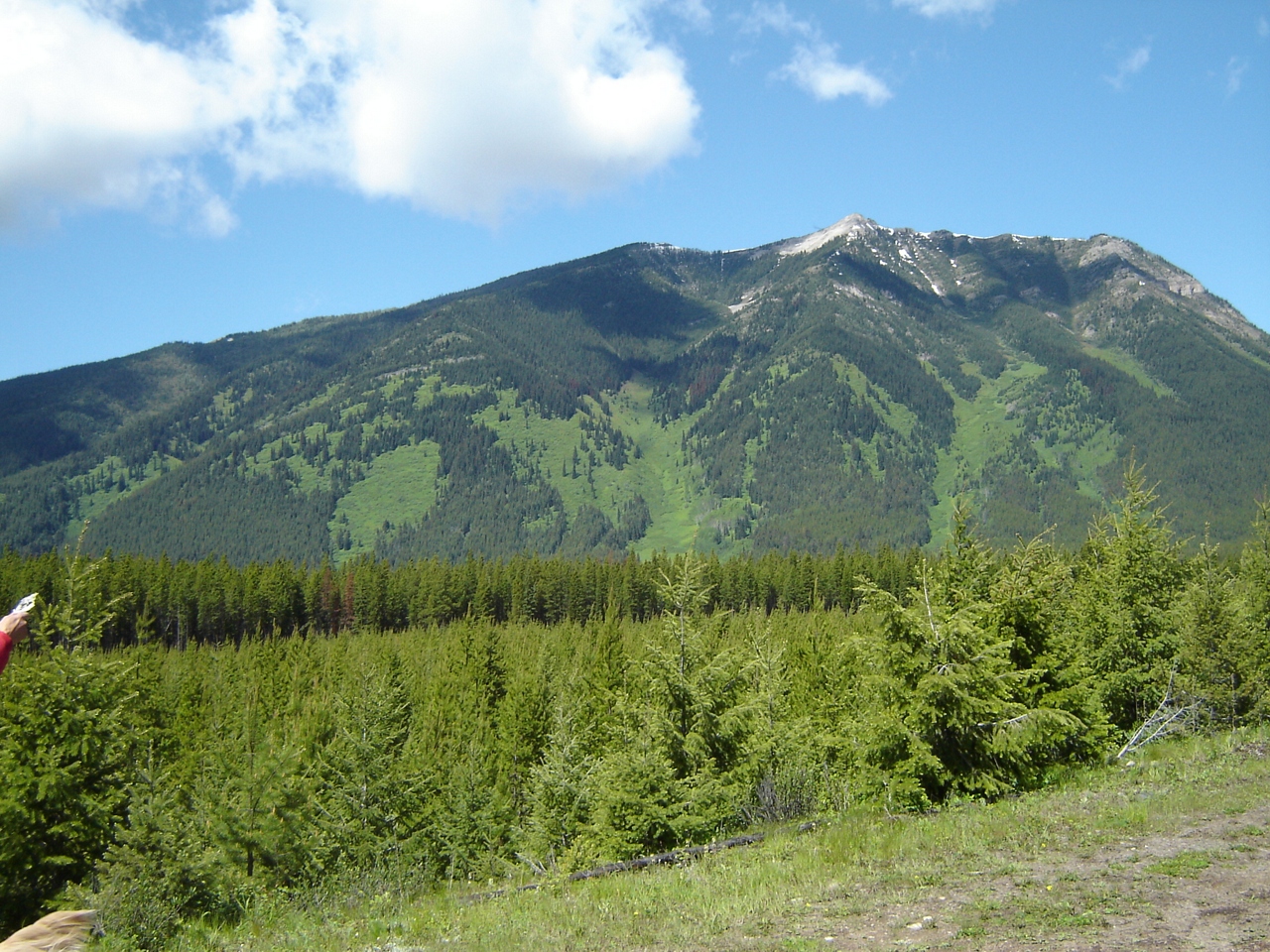
Fotos
Sept.25- 28- 2006 BC Quad Trip 028.jpg
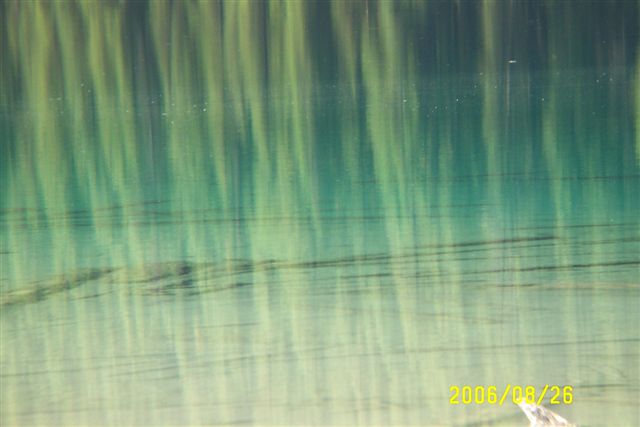
Looking into Aldridge Creek
Looking at Aldridge and the burning coal seam
Slides north of harvest area
DSC05065.JPG
DSC05064.JPG
DSC05063.JPG
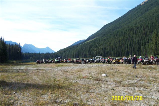
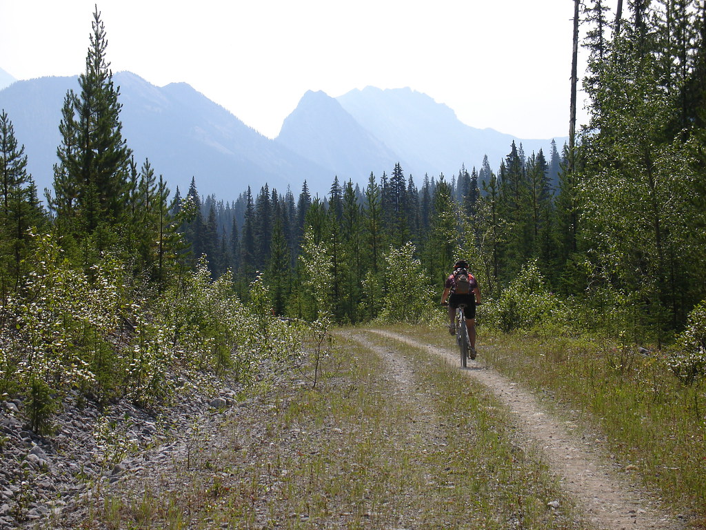
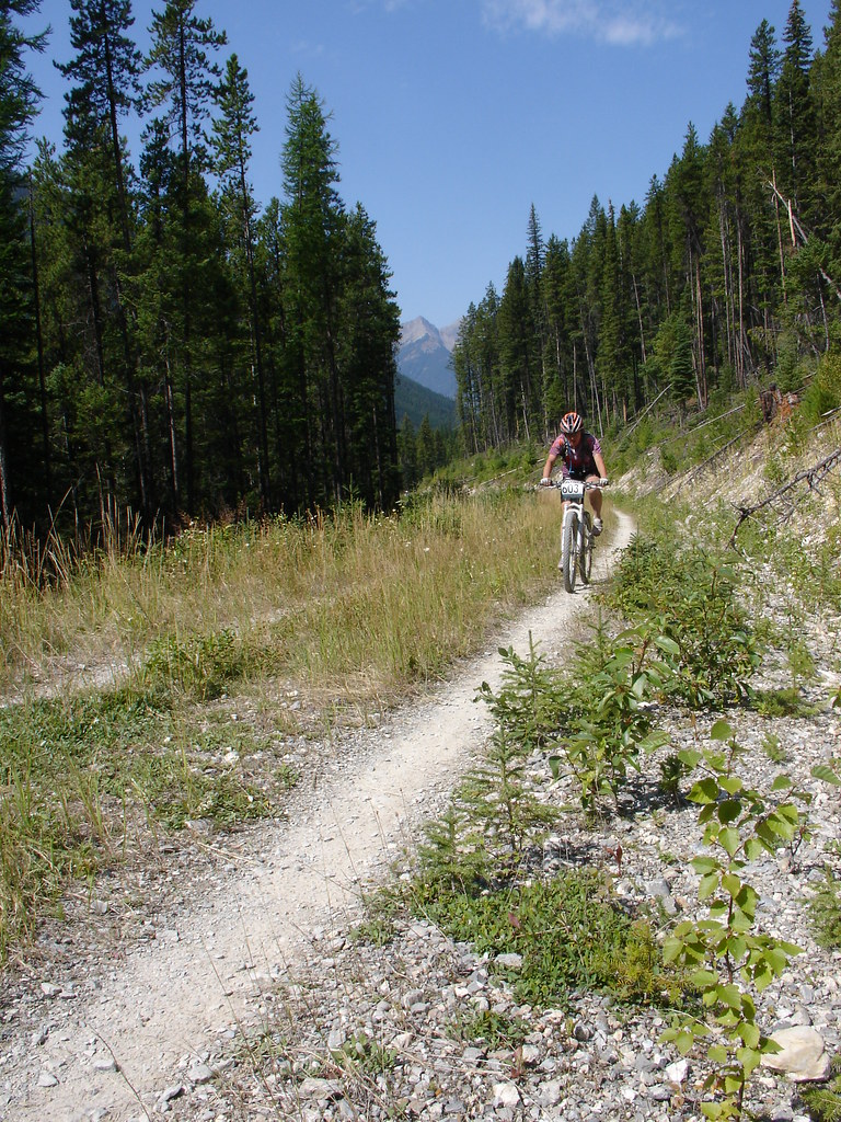
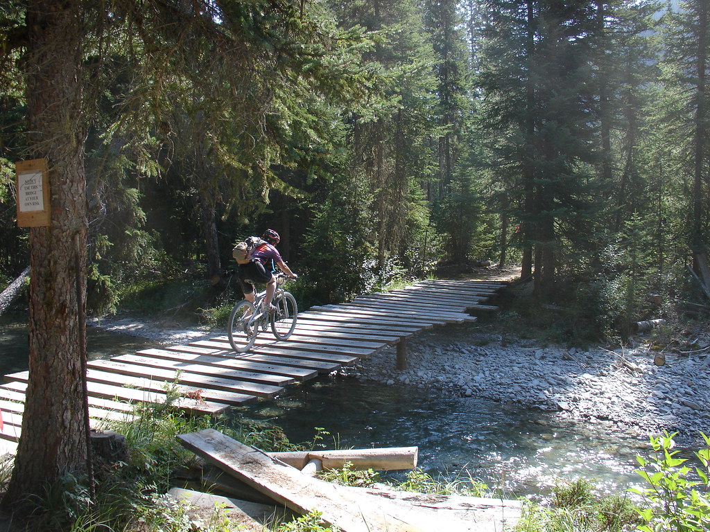
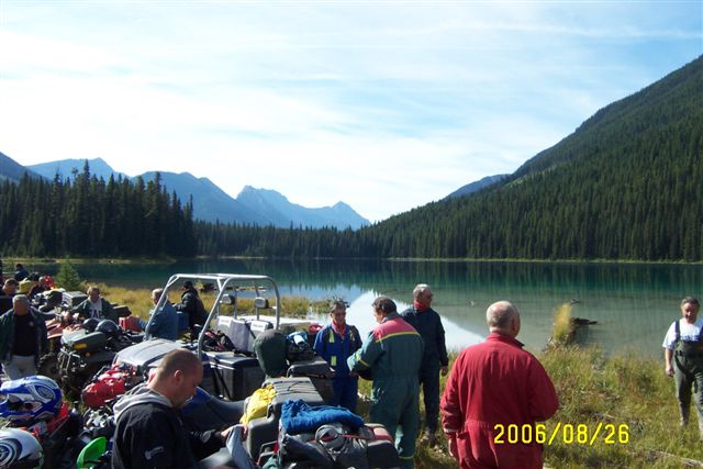
Various photos from last two days Left Sparwood Friday morning and crested my first pass. Flathead Pass. And ended up two miles short of the second of three passes so camped near top when it started raining Lots of walking but still pressing on
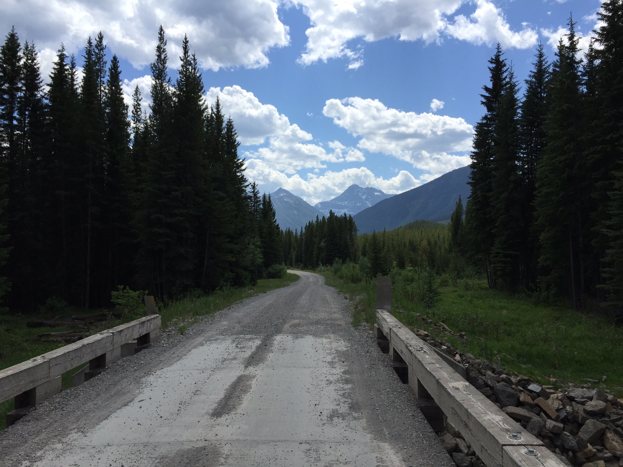
Various photos from last two days Left Sparwood Friday morning and crested my first pass. Flathead Pass. And ended up two miles short of the second of three passes so camped near top when it started raining Lots of walking but still pressing on
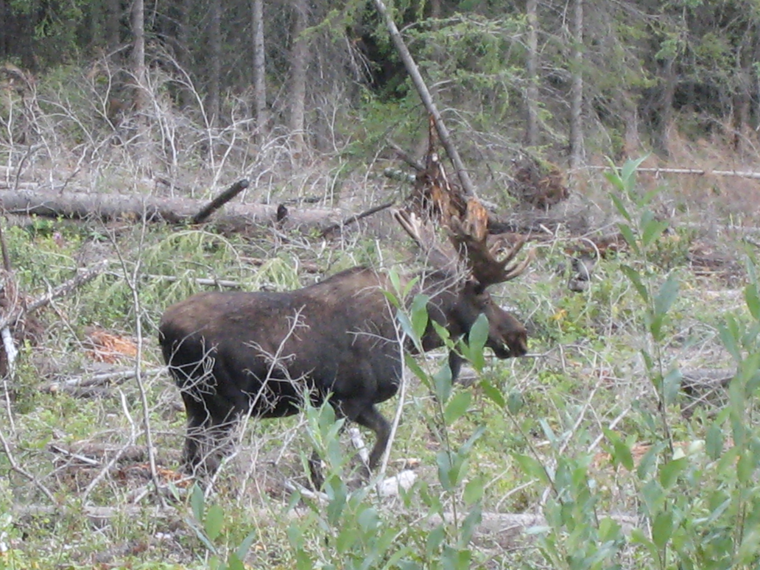
Moose eh?
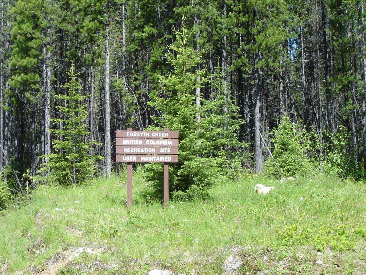
Forsyth Creek rec area

Looking toward Connor Lakes

Red trees are beetle-kill, due for harvest

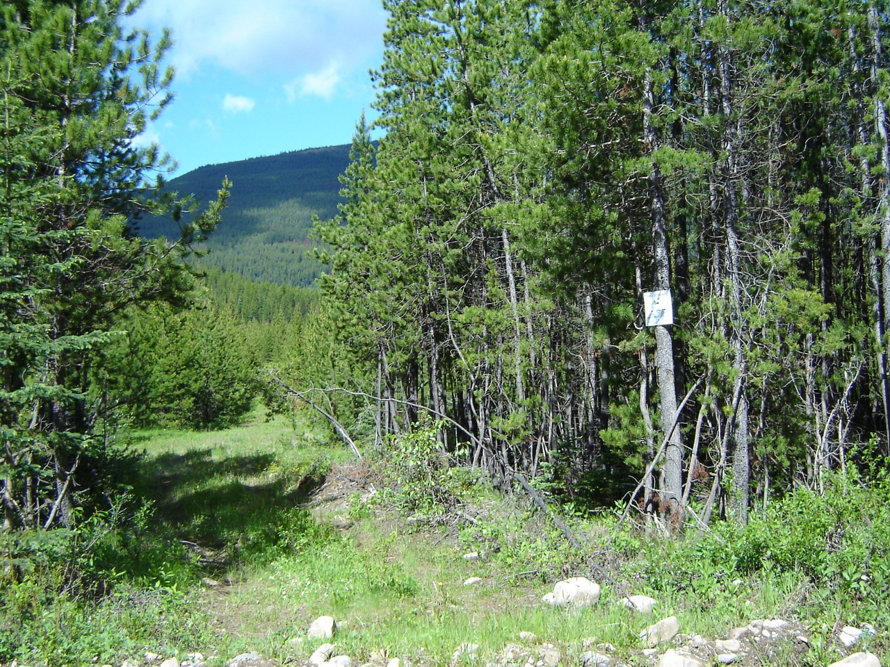
South of Forsyth Creek
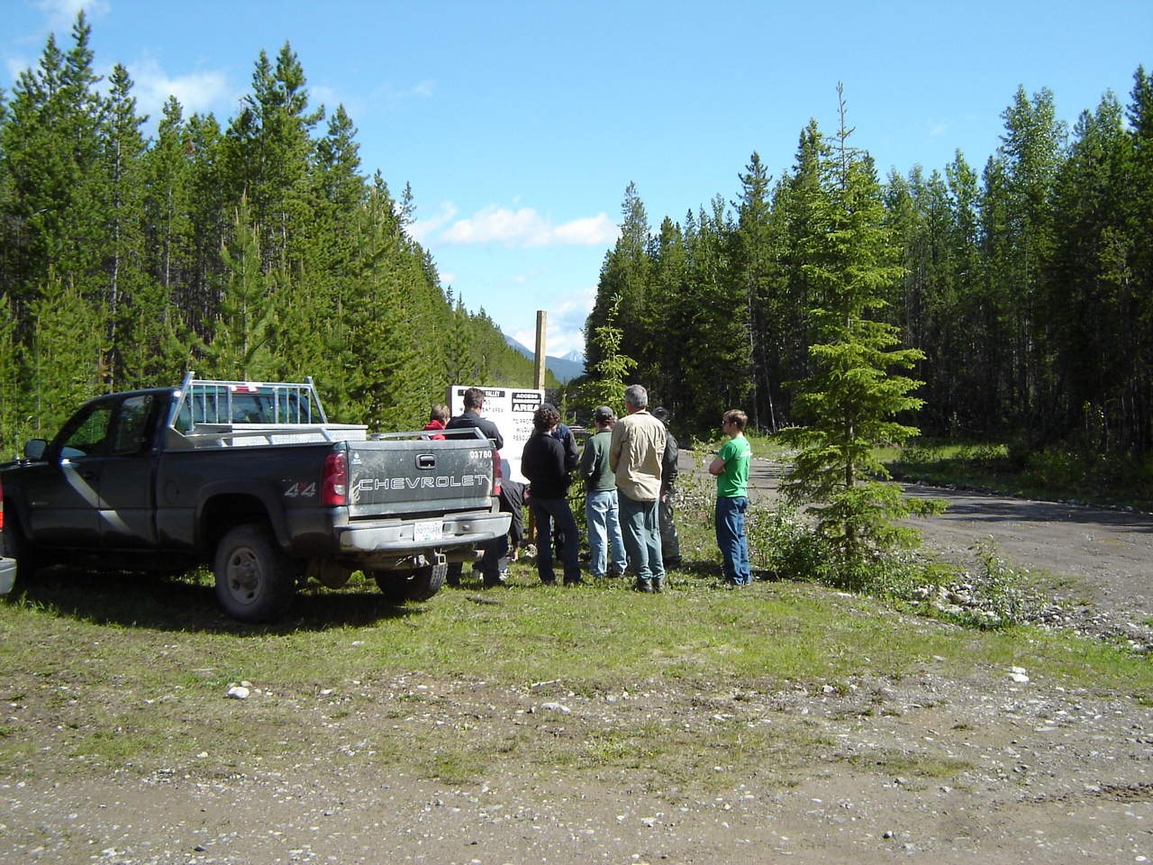
A sign at the next entrance to the north
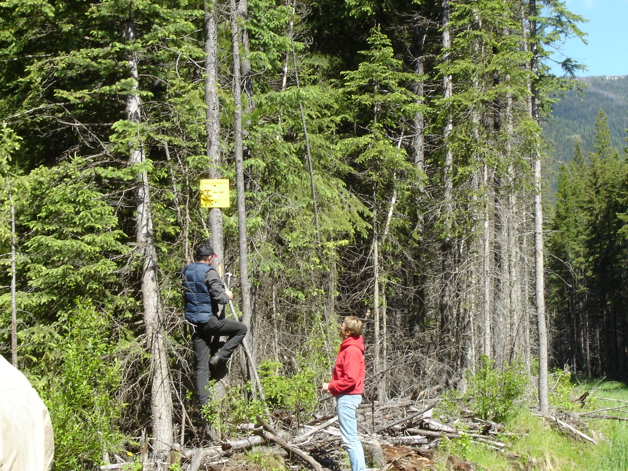
Replacing the MoE sign
Signs of illegal access by truck and ATV
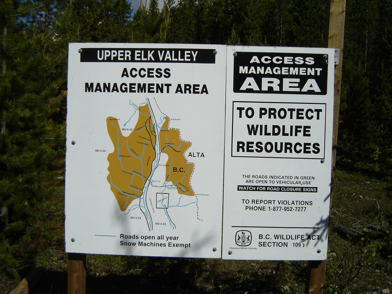
Upper Elk AMA sign
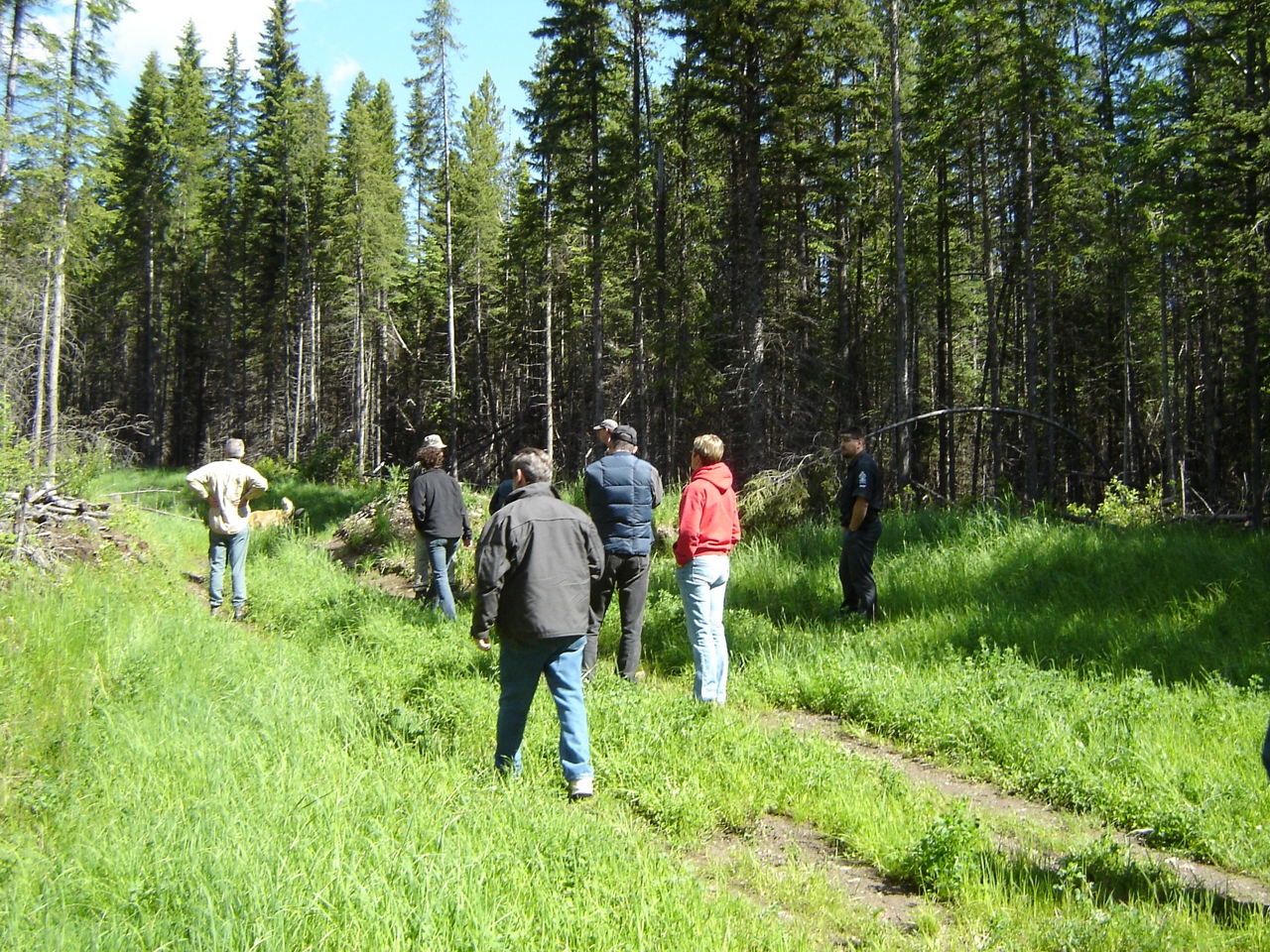
Orientation at Bleasdel Creek
Sept.25- 28- 2006 BC Quad Trip 033.jpg
Sept.25- 28- 2006 BC Quad Trip 032.jpg
Mapa de Mount Hornickel, East Kootenay A, BC V0B, Canadá
Buscar otro lugar
Lugares cercanos
Elkford, BC V0B 1H0, Canadá
Mount Abruzzi, East Kootenay F, BC V0B, Canadá
Mount Tuxford, East Kootenay A, BC V0B, Canadá
Mount Harrison, East Kootenay C, BC V0B, Canadá
Weary Ridge, East Kootenay A, BC V0B, Canadá
Mount Veits, East Kootenay A, BC V0B, Canadá
Courcelette NW2, East Kootenay A, BC V0B, Canadá
Mount Loomis, East Kootenay A, BC V0B, Canadá
Courcelette NW3, East Kootenay A, BC V0B, Canadá
Mount McPhail, East Kootenay A, BC V0B, Canadá
Muir SW2, East Kootenay A, BC V0B, Canadá
Mount Odlum, East Kootenay A, BC V0B, Canadá
Nashton Crescent, Elkford, BC V0B 1H0, Canadá
Mount Bishop, Kananaskis, AB T0L, Canadá
Elkford, BC V0B, Canadá
Courcelette Peak, East Kootenay A, BC V0B, Canadá
Gill Peak, East Kootenay A, BC V0B, Canadá
Mount Joffre, Kananaskis, AB T0L, Canadá
Mount Shankland, East Kootenay A, BC V0B, Canadá
Storelk Mountain, East Kootenay A, BC V0B, Canadá
Búsquedas recientes
- Horas de salida y puesta de sol de Kootenai Trail Rd, Bonners Ferry, ID, USA
- Horas de salida y puesta de sol de Mezzovico-Vira, Suiza
- Horas de salida y puesta de sol de Dawa Gengzha, PPF6+WGM, Baoxing County, Yaan, Sichuan, China
- Horas de salida y puesta de sol de Hickory Blvd, Bonita Springs, FL, USA
- Horas de salida y puesta de sol de Ogbosuware Health Centre, 2WWJ+4PJ, Lalagbene, Bayelsa, Nigeria
- Horas de salida y puesta de sol de Caesar Park Kenting, No. 6號, Kending Rd, Hengchun Township, Pingtung County, Taiwán
- Horas de salida y puesta de sol de Hadiya, Etiopía
- Horas de salida y puesta de sol de Hosaina, Etiopía
- Horas de salida y puesta de sol de Necochea, Provincia de Buenos Aires, Argentina
- Horas de salida y puesta de sol de Maxine St NE, Albuquerque, NM, EE. UU.