Horas de salida y puesta de sol de Mount Tuxford, East Kootenay A, BC V0B, Canadá
Location: Canadá > Columbia Británica > East Kootenay > East Kootenay A >
Zona horaria:
America/Edmonton
Hora local:
2024-05-13 21:45:54
Longitud:
-114.8755555
Latitud:
50.2927777
Salida de sol de hoy:
05:52:05 AM
Puesta de sol de hoy:
09:19:38 PM
La duración del día hoy:
15h 27m 33s
Salida de sol de mañana:
05:50:42 AM
Puesta de sol de mañana:
09:21:03 PM
La duración del día mañana:
15h 30m 21s
Mostrar todas las fechas
| Fecha | Salida de sol | Puesta de sol | Duración del día |
|---|---|---|---|
| 01/01/2024 | 08:39:06 AM | 04:47:36 PM | 8h 8m 30s |
| 02/01/2024 | 08:38:58 AM | 04:48:39 PM | 8h 9m 41s |
| 03/01/2024 | 08:38:47 AM | 04:49:45 PM | 8h 10m 58s |
| 04/01/2024 | 08:38:33 AM | 04:50:54 PM | 8h 12m 21s |
| 05/01/2024 | 08:38:15 AM | 04:52:05 PM | 8h 13m 50s |
| 06/01/2024 | 08:37:54 AM | 04:53:18 PM | 8h 15m 24s |
| 07/01/2024 | 08:37:31 AM | 04:54:33 PM | 8h 17m 2s |
| 08/01/2024 | 08:37:04 AM | 04:55:50 PM | 8h 18m 46s |
| 09/01/2024 | 08:36:34 AM | 04:57:09 PM | 8h 20m 35s |
| 10/01/2024 | 08:36:01 AM | 04:58:30 PM | 8h 22m 29s |
| 11/01/2024 | 08:35:25 AM | 04:59:53 PM | 8h 24m 28s |
| 12/01/2024 | 08:34:46 AM | 05:01:18 PM | 8h 26m 32s |
| 13/01/2024 | 08:34:05 AM | 05:02:44 PM | 8h 28m 39s |
| 14/01/2024 | 08:33:20 AM | 05:04:12 PM | 8h 30m 52s |
| 15/01/2024 | 08:32:32 AM | 05:05:41 PM | 8h 33m 9s |
| 16/01/2024 | 08:31:42 AM | 05:07:12 PM | 8h 35m 30s |
| 17/01/2024 | 08:30:49 AM | 05:08:44 PM | 8h 37m 55s |
| 18/01/2024 | 08:29:54 AM | 05:10:17 PM | 8h 40m 23s |
| 19/01/2024 | 08:28:55 AM | 05:11:52 PM | 8h 42m 57s |
| 20/01/2024 | 08:27:55 AM | 05:13:27 PM | 8h 45m 32s |
| 21/01/2024 | 08:26:51 AM | 05:15:04 PM | 8h 48m 13s |
| 22/01/2024 | 08:25:45 AM | 05:16:41 PM | 8h 50m 56s |
| 23/01/2024 | 08:24:37 AM | 05:18:20 PM | 8h 53m 43s |
| 24/01/2024 | 08:23:26 AM | 05:19:59 PM | 8h 56m 33s |
| 25/01/2024 | 08:22:13 AM | 05:21:39 PM | 8h 59m 26s |
| 26/01/2024 | 08:20:58 AM | 05:23:20 PM | 9h 2m 22s |
| 27/01/2024 | 08:19:40 AM | 05:25:01 PM | 9h 5m 21s |
| 28/01/2024 | 08:18:20 AM | 05:26:43 PM | 9h 8m 23s |
| 29/01/2024 | 08:16:58 AM | 05:28:25 PM | 9h 11m 27s |
| 30/01/2024 | 08:15:34 AM | 05:30:08 PM | 9h 14m 34s |
| 31/01/2024 | 08:14:08 AM | 05:31:52 PM | 9h 17m 44s |
| 01/02/2024 | 08:12:40 AM | 05:33:35 PM | 9h 20m 55s |
| 02/02/2024 | 08:11:10 AM | 05:35:19 PM | 9h 24m 9s |
| 03/02/2024 | 08:09:39 AM | 05:37:03 PM | 9h 27m 24s |
| 04/02/2024 | 08:08:05 AM | 05:38:47 PM | 9h 30m 42s |
| 05/02/2024 | 08:06:29 AM | 05:40:32 PM | 9h 34m 3s |
| 06/02/2024 | 08:04:52 AM | 05:42:17 PM | 9h 37m 25s |
| 07/02/2024 | 08:03:14 AM | 05:44:01 PM | 9h 40m 47s |
| 08/02/2024 | 08:01:33 AM | 05:45:46 PM | 9h 44m 13s |
| 09/02/2024 | 07:59:51 AM | 05:47:31 PM | 9h 47m 40s |
| 10/02/2024 | 07:58:08 AM | 05:49:16 PM | 9h 51m 8s |
| 11/02/2024 | 07:56:23 AM | 05:51:00 PM | 9h 54m 37s |
| 12/02/2024 | 07:54:36 AM | 05:52:45 PM | 9h 58m 9s |
| 13/02/2024 | 07:52:48 AM | 05:54:29 PM | 10h 1m 41s |
| 14/02/2024 | 07:50:59 AM | 05:56:14 PM | 10h 5m 15s |
| 15/02/2024 | 07:49:09 AM | 05:57:58 PM | 10h 8m 49s |
| 16/02/2024 | 07:47:17 AM | 05:59:42 PM | 10h 12m 25s |
| 17/02/2024 | 07:45:24 AM | 06:01:26 PM | 10h 16m 2s |
| 18/02/2024 | 07:43:30 AM | 06:03:10 PM | 10h 19m 40s |
| 19/02/2024 | 07:41:34 AM | 06:04:53 PM | 10h 23m 19s |
| 20/02/2024 | 07:39:38 AM | 06:06:36 PM | 10h 26m 58s |
| 21/02/2024 | 07:37:41 AM | 06:08:19 PM | 10h 30m 38s |
| 22/02/2024 | 07:35:42 AM | 06:10:02 PM | 10h 34m 20s |
| 23/02/2024 | 07:33:43 AM | 06:11:45 PM | 10h 38m 2s |
| 24/02/2024 | 07:31:43 AM | 06:13:27 PM | 10h 41m 44s |
| 25/02/2024 | 07:29:41 AM | 06:15:09 PM | 10h 45m 28s |
| 26/02/2024 | 07:27:39 AM | 06:16:50 PM | 10h 49m 11s |
| 27/02/2024 | 07:25:36 AM | 06:18:32 PM | 10h 52m 56s |
| 28/02/2024 | 07:23:33 AM | 06:20:13 PM | 10h 56m 40s |
| 29/02/2024 | 07:21:28 AM | 06:21:54 PM | 11h 0m 26s |
| 01/03/2024 | 07:19:23 AM | 06:23:34 PM | 11h 4m 11s |
| 02/03/2024 | 07:17:18 AM | 06:25:15 PM | 11h 7m 57s |
| 03/03/2024 | 07:15:11 AM | 06:26:55 PM | 11h 11m 44s |
| 04/03/2024 | 07:13:04 AM | 06:28:34 PM | 11h 15m 30s |
| 05/03/2024 | 07:10:57 AM | 06:30:14 PM | 11h 19m 17s |
| 06/03/2024 | 07:08:49 AM | 06:31:53 PM | 11h 23m 4s |
| 07/03/2024 | 07:06:40 AM | 06:33:32 PM | 11h 26m 52s |
| 08/03/2024 | 07:04:31 AM | 06:35:11 PM | 11h 30m 40s |
| 09/03/2024 | 07:02:22 AM | 06:36:49 PM | 11h 34m 27s |
| 10/03/2024 | 08:00:17 AM | 07:38:23 PM | 11h 38m 6s |
| 11/03/2024 | 07:58:07 AM | 07:40:01 PM | 11h 41m 54s |
| 12/03/2024 | 07:55:57 AM | 07:41:39 PM | 11h 45m 42s |
| 13/03/2024 | 07:53:46 AM | 07:43:17 PM | 11h 49m 31s |
| 14/03/2024 | 07:51:35 AM | 07:44:54 PM | 11h 53m 19s |
| 15/03/2024 | 07:49:23 AM | 07:46:31 PM | 11h 57m 8s |
| 16/03/2024 | 07:47:12 AM | 07:48:08 PM | 12h 0m 56s |
| 17/03/2024 | 07:45:00 AM | 07:49:45 PM | 12h 4m 45s |
| 18/03/2024 | 07:42:48 AM | 07:51:22 PM | 12h 8m 34s |
| 19/03/2024 | 07:40:36 AM | 07:52:58 PM | 12h 12m 22s |
| 20/03/2024 | 07:38:24 AM | 07:54:34 PM | 12h 16m 10s |
| 21/03/2024 | 07:36:12 AM | 07:56:11 PM | 12h 19m 59s |
| 22/03/2024 | 07:34:00 AM | 07:57:47 PM | 12h 23m 47s |
| 23/03/2024 | 07:31:48 AM | 07:59:23 PM | 12h 27m 35s |
| 24/03/2024 | 07:29:36 AM | 08:00:59 PM | 12h 31m 23s |
| 25/03/2024 | 07:27:24 AM | 08:02:34 PM | 12h 35m 10s |
| 26/03/2024 | 07:25:12 AM | 08:04:10 PM | 12h 38m 58s |
| 27/03/2024 | 07:23:00 AM | 08:05:46 PM | 12h 42m 46s |
| 28/03/2024 | 07:20:49 AM | 08:07:21 PM | 12h 46m 32s |
| 29/03/2024 | 07:18:37 AM | 08:08:57 PM | 12h 50m 20s |
| 30/03/2024 | 07:16:26 AM | 08:10:32 PM | 12h 54m 6s |
| 31/03/2024 | 07:14:15 AM | 08:12:07 PM | 12h 57m 52s |
| 01/04/2024 | 07:12:05 AM | 08:13:43 PM | 13h 1m 38s |
| 02/04/2024 | 07:09:54 AM | 08:15:18 PM | 13h 5m 24s |
| 03/04/2024 | 07:07:44 AM | 08:16:53 PM | 13h 9m 9s |
| 04/04/2024 | 07:05:35 AM | 08:18:28 PM | 13h 12m 53s |
| 05/04/2024 | 07:03:26 AM | 08:20:04 PM | 13h 16m 38s |
| 06/04/2024 | 07:01:17 AM | 08:21:39 PM | 13h 20m 22s |
| 07/04/2024 | 06:59:09 AM | 08:23:14 PM | 13h 24m 5s |
| 08/04/2024 | 06:57:01 AM | 08:24:49 PM | 13h 27m 48s |
| 09/04/2024 | 06:54:54 AM | 08:26:24 PM | 13h 31m 30s |
| 10/04/2024 | 06:52:47 AM | 08:28:00 PM | 13h 35m 13s |
| 11/04/2024 | 06:50:41 AM | 08:29:35 PM | 13h 38m 54s |
| 12/04/2024 | 06:48:36 AM | 08:31:10 PM | 13h 42m 34s |
| 13/04/2024 | 06:46:31 AM | 08:32:45 PM | 13h 46m 14s |
| 14/04/2024 | 06:44:27 AM | 08:34:20 PM | 13h 49m 53s |
| 15/04/2024 | 06:42:24 AM | 08:35:55 PM | 13h 53m 31s |
| 16/04/2024 | 06:40:22 AM | 08:37:30 PM | 13h 57m 8s |
| 17/04/2024 | 06:38:20 AM | 08:39:05 PM | 14h 0m 45s |
| 18/04/2024 | 06:36:20 AM | 08:40:40 PM | 14h 4m 20s |
| 19/04/2024 | 06:34:20 AM | 08:42:15 PM | 14h 7m 55s |
| 20/04/2024 | 06:32:21 AM | 08:43:50 PM | 14h 11m 29s |
| 21/04/2024 | 06:30:23 AM | 08:45:25 PM | 14h 15m 2s |
| 22/04/2024 | 06:28:26 AM | 08:47:00 PM | 14h 18m 34s |
| 23/04/2024 | 06:26:30 AM | 08:48:34 PM | 14h 22m 4s |
| 24/04/2024 | 06:24:36 AM | 08:50:09 PM | 14h 25m 33s |
| 25/04/2024 | 06:22:42 AM | 08:51:43 PM | 14h 29m 1s |
| 26/04/2024 | 06:20:50 AM | 08:53:17 PM | 14h 32m 27s |
| 27/04/2024 | 06:18:59 AM | 08:54:51 PM | 14h 35m 52s |
| 28/04/2024 | 06:17:09 AM | 08:56:25 PM | 14h 39m 16s |
| 29/04/2024 | 06:15:20 AM | 08:57:58 PM | 14h 42m 38s |
| 30/04/2024 | 06:13:33 AM | 08:59:31 PM | 14h 45m 58s |
| 01/05/2024 | 06:11:47 AM | 09:01:04 PM | 14h 49m 17s |
| 02/05/2024 | 06:10:02 AM | 09:02:37 PM | 14h 52m 35s |
| 03/05/2024 | 06:08:19 AM | 09:04:09 PM | 14h 55m 50s |
| 04/05/2024 | 06:06:38 AM | 09:05:41 PM | 14h 59m 3s |
| 05/05/2024 | 06:04:58 AM | 09:07:12 PM | 15h 2m 14s |
| 06/05/2024 | 06:03:20 AM | 09:08:43 PM | 15h 5m 23s |
| 07/05/2024 | 06:01:43 AM | 09:10:13 PM | 15h 8m 30s |
| 08/05/2024 | 06:00:08 AM | 09:11:43 PM | 15h 11m 35s |
| 09/05/2024 | 05:58:35 AM | 09:13:12 PM | 15h 14m 37s |
| 10/05/2024 | 05:57:03 AM | 09:14:41 PM | 15h 17m 38s |
| 11/05/2024 | 05:55:34 AM | 09:16:09 PM | 15h 20m 35s |
| 12/05/2024 | 05:54:06 AM | 09:17:36 PM | 15h 23m 30s |
| 13/05/2024 | 05:52:40 AM | 09:19:02 PM | 15h 26m 22s |
| 14/05/2024 | 05:51:17 AM | 09:20:27 PM | 15h 29m 10s |
| 15/05/2024 | 05:49:55 AM | 09:21:52 PM | 15h 31m 57s |
| 16/05/2024 | 05:48:35 AM | 09:23:16 PM | 15h 34m 41s |
| 17/05/2024 | 05:47:18 AM | 09:24:38 PM | 15h 37m 20s |
| 18/05/2024 | 05:46:02 AM | 09:26:00 PM | 15h 39m 58s |
| 19/05/2024 | 05:44:49 AM | 09:27:20 PM | 15h 42m 31s |
| 20/05/2024 | 05:43:38 AM | 09:28:40 PM | 15h 45m 2s |
| 21/05/2024 | 05:42:29 AM | 09:29:58 PM | 15h 47m 29s |
| 22/05/2024 | 05:41:23 AM | 09:31:14 PM | 15h 49m 51s |
| 23/05/2024 | 05:40:19 AM | 09:32:30 PM | 15h 52m 11s |
| 24/05/2024 | 05:39:17 AM | 09:33:43 PM | 15h 54m 26s |
| 25/05/2024 | 05:38:18 AM | 09:34:56 PM | 15h 56m 38s |
| 26/05/2024 | 05:37:22 AM | 09:36:07 PM | 15h 58m 45s |
| 27/05/2024 | 05:36:28 AM | 09:37:16 PM | 16h 0m 48s |
| 28/05/2024 | 05:35:37 AM | 09:38:23 PM | 16h 2m 46s |
| 29/05/2024 | 05:34:48 AM | 09:39:29 PM | 16h 4m 41s |
| 30/05/2024 | 05:34:02 AM | 09:40:33 PM | 16h 6m 31s |
| 31/05/2024 | 05:33:18 AM | 09:41:35 PM | 16h 8m 17s |
| 01/06/2024 | 05:32:37 AM | 09:42:35 PM | 16h 9m 58s |
| 02/06/2024 | 05:32:00 AM | 09:43:33 PM | 16h 11m 33s |
| 03/06/2024 | 05:31:24 AM | 09:44:29 PM | 16h 13m 5s |
| 04/06/2024 | 05:30:52 AM | 09:45:23 PM | 16h 14m 31s |
| 05/06/2024 | 05:30:22 AM | 09:46:14 PM | 16h 15m 52s |
| 06/06/2024 | 05:29:56 AM | 09:47:04 PM | 16h 17m 8s |
| 07/06/2024 | 05:29:32 AM | 09:47:51 PM | 16h 18m 19s |
| 08/06/2024 | 05:29:11 AM | 09:48:35 PM | 16h 19m 24s |
| 09/06/2024 | 05:28:53 AM | 09:49:17 PM | 16h 20m 24s |
| 10/06/2024 | 05:28:38 AM | 09:49:57 PM | 16h 21m 19s |
| 11/06/2024 | 05:28:25 AM | 09:50:34 PM | 16h 22m 9s |
| 12/06/2024 | 05:28:16 AM | 09:51:09 PM | 16h 22m 53s |
| 13/06/2024 | 05:28:10 AM | 09:51:41 PM | 16h 23m 31s |
| 14/06/2024 | 05:28:06 AM | 09:52:10 PM | 16h 24m 4s |
| 15/06/2024 | 05:28:05 AM | 09:52:37 PM | 16h 24m 32s |
| 16/06/2024 | 05:28:08 AM | 09:53:00 PM | 16h 24m 52s |
| 17/06/2024 | 05:28:13 AM | 09:53:21 PM | 16h 25m 8s |
| 18/06/2024 | 05:28:21 AM | 09:53:40 PM | 16h 25m 19s |
| 19/06/2024 | 05:28:32 AM | 09:53:55 PM | 16h 25m 23s |
| 20/06/2024 | 05:28:45 AM | 09:54:07 PM | 16h 25m 22s |
| 21/06/2024 | 05:29:02 AM | 09:54:17 PM | 16h 25m 15s |
| 22/06/2024 | 05:29:21 AM | 09:54:24 PM | 16h 25m 3s |
| 23/06/2024 | 05:29:43 AM | 09:54:27 PM | 16h 24m 44s |
| 24/06/2024 | 05:30:08 AM | 09:54:28 PM | 16h 24m 20s |
| 25/06/2024 | 05:30:35 AM | 09:54:26 PM | 16h 23m 51s |
| 26/06/2024 | 05:31:05 AM | 09:54:21 PM | 16h 23m 16s |
| 27/06/2024 | 05:31:37 AM | 09:54:13 PM | 16h 22m 36s |
| 28/06/2024 | 05:32:12 AM | 09:54:02 PM | 16h 21m 50s |
| 29/06/2024 | 05:32:50 AM | 09:53:48 PM | 16h 20m 58s |
| 30/06/2024 | 05:33:30 AM | 09:53:31 PM | 16h 20m 1s |
| 01/07/2024 | 05:34:12 AM | 09:53:11 PM | 16h 18m 59s |
| 02/07/2024 | 05:34:57 AM | 09:52:48 PM | 16h 17m 51s |
| 03/07/2024 | 05:35:44 AM | 09:52:22 PM | 16h 16m 38s |
| 04/07/2024 | 05:36:33 AM | 09:51:54 PM | 16h 15m 21s |
| 05/07/2024 | 05:37:24 AM | 09:51:22 PM | 16h 13m 58s |
| 06/07/2024 | 05:38:18 AM | 09:50:48 PM | 16h 12m 30s |
| 07/07/2024 | 05:39:13 AM | 09:50:11 PM | 16h 10m 58s |
| 08/07/2024 | 05:40:11 AM | 09:49:31 PM | 16h 9m 20s |
| 09/07/2024 | 05:41:10 AM | 09:48:48 PM | 16h 7m 38s |
| 10/07/2024 | 05:42:11 AM | 09:48:03 PM | 16h 5m 52s |
| 11/07/2024 | 05:43:14 AM | 09:47:15 PM | 16h 4m 1s |
| 12/07/2024 | 05:44:19 AM | 09:46:24 PM | 16h 2m 5s |
| 13/07/2024 | 05:45:25 AM | 09:45:31 PM | 16h 0m 6s |
| 14/07/2024 | 05:46:33 AM | 09:44:35 PM | 15h 58m 2s |
| 15/07/2024 | 05:47:42 AM | 09:43:36 PM | 15h 55m 54s |
| 16/07/2024 | 05:48:53 AM | 09:42:35 PM | 15h 53m 42s |
| 17/07/2024 | 05:50:06 AM | 09:41:31 PM | 15h 51m 25s |
| 18/07/2024 | 05:51:19 AM | 09:40:26 PM | 15h 49m 7s |
| 19/07/2024 | 05:52:34 AM | 09:39:17 PM | 15h 46m 43s |
| 20/07/2024 | 05:53:50 AM | 09:38:07 PM | 15h 44m 17s |
| 21/07/2024 | 05:55:07 AM | 09:36:54 PM | 15h 41m 47s |
| 22/07/2024 | 05:56:25 AM | 09:35:39 PM | 15h 39m 14s |
| 23/07/2024 | 05:57:45 AM | 09:34:21 PM | 15h 36m 36s |
| 24/07/2024 | 05:59:05 AM | 09:33:02 PM | 15h 33m 57s |
| 25/07/2024 | 06:00:26 AM | 09:31:40 PM | 15h 31m 14s |
| 26/07/2024 | 06:01:48 AM | 09:30:16 PM | 15h 28m 28s |
| 27/07/2024 | 06:03:11 AM | 09:28:51 PM | 15h 25m 40s |
| 28/07/2024 | 06:04:34 AM | 09:27:23 PM | 15h 22m 49s |
| 29/07/2024 | 06:05:59 AM | 09:25:54 PM | 15h 19m 55s |
| 30/07/2024 | 06:07:23 AM | 09:24:22 PM | 15h 16m 59s |
| 31/07/2024 | 06:08:49 AM | 09:22:49 PM | 15h 14m 0s |
| 01/08/2024 | 06:10:15 AM | 09:21:14 PM | 15h 10m 59s |
| 02/08/2024 | 06:11:42 AM | 09:19:37 PM | 15h 7m 55s |
| 03/08/2024 | 06:13:09 AM | 09:17:59 PM | 15h 4m 50s |
| 04/08/2024 | 06:14:36 AM | 09:16:19 PM | 15h 1m 43s |
| 05/08/2024 | 06:16:04 AM | 09:14:37 PM | 14h 58m 33s |
| 06/08/2024 | 06:17:32 AM | 09:12:54 PM | 14h 55m 22s |
| 07/08/2024 | 06:19:01 AM | 09:11:09 PM | 14h 52m 8s |
| 08/08/2024 | 06:20:30 AM | 09:09:23 PM | 14h 48m 53s |
| 09/08/2024 | 06:21:59 AM | 09:07:36 PM | 14h 45m 37s |
| 10/08/2024 | 06:23:28 AM | 09:05:47 PM | 14h 42m 19s |
| 11/08/2024 | 06:24:58 AM | 09:03:56 PM | 14h 38m 58s |
| 12/08/2024 | 06:26:27 AM | 09:02:05 PM | 14h 35m 38s |
| 13/08/2024 | 06:27:57 AM | 09:00:12 PM | 14h 32m 15s |
| 14/08/2024 | 06:29:27 AM | 08:58:18 PM | 14h 28m 51s |
| 15/08/2024 | 06:30:58 AM | 08:56:23 PM | 14h 25m 25s |
| 16/08/2024 | 06:32:28 AM | 08:54:27 PM | 14h 21m 59s |
| 17/08/2024 | 06:33:58 AM | 08:52:29 PM | 14h 18m 31s |
| 18/08/2024 | 06:35:29 AM | 08:50:31 PM | 14h 15m 2s |
| 19/08/2024 | 06:36:59 AM | 08:48:31 PM | 14h 11m 32s |
| 20/08/2024 | 06:38:29 AM | 08:46:31 PM | 14h 8m 2s |
| 21/08/2024 | 06:40:00 AM | 08:44:30 PM | 14h 4m 30s |
| 22/08/2024 | 06:41:31 AM | 08:42:28 PM | 14h 0m 57s |
| 23/08/2024 | 06:43:01 AM | 08:40:25 PM | 13h 57m 24s |
| 24/08/2024 | 06:44:32 AM | 08:38:21 PM | 13h 53m 49s |
| 25/08/2024 | 06:46:02 AM | 08:36:16 PM | 13h 50m 14s |
| 26/08/2024 | 06:47:33 AM | 08:34:11 PM | 13h 46m 38s |
| 27/08/2024 | 06:49:03 AM | 08:32:05 PM | 13h 43m 2s |
| 28/08/2024 | 06:50:34 AM | 08:29:58 PM | 13h 39m 24s |
| 29/08/2024 | 06:52:04 AM | 08:27:50 PM | 13h 35m 46s |
| 30/08/2024 | 06:53:34 AM | 08:25:42 PM | 13h 32m 8s |
| 31/08/2024 | 06:55:05 AM | 08:23:34 PM | 13h 28m 29s |
| 01/09/2024 | 06:56:35 AM | 08:21:24 PM | 13h 24m 49s |
| 02/09/2024 | 06:58:06 AM | 08:19:15 PM | 13h 21m 9s |
| 03/09/2024 | 06:59:36 AM | 08:17:04 PM | 13h 17m 28s |
| 04/09/2024 | 07:01:06 AM | 08:14:54 PM | 13h 13m 48s |
| 05/09/2024 | 07:02:37 AM | 08:12:43 PM | 13h 10m 6s |
| 06/09/2024 | 07:04:07 AM | 08:10:31 PM | 13h 6m 24s |
| 07/09/2024 | 07:05:37 AM | 08:08:20 PM | 13h 2m 43s |
| 08/09/2024 | 07:07:08 AM | 08:06:07 PM | 12h 58m 59s |
| 09/09/2024 | 07:08:38 AM | 08:03:55 PM | 12h 55m 17s |
| 10/09/2024 | 07:10:08 AM | 08:01:42 PM | 12h 51m 34s |
| 11/09/2024 | 07:11:39 AM | 07:59:29 PM | 12h 47m 50s |
| 12/09/2024 | 07:13:09 AM | 07:57:16 PM | 12h 44m 7s |
| 13/09/2024 | 07:14:40 AM | 07:55:03 PM | 12h 40m 23s |
| 14/09/2024 | 07:16:10 AM | 07:52:50 PM | 12h 36m 40s |
| 15/09/2024 | 07:17:41 AM | 07:50:36 PM | 12h 32m 55s |
| 16/09/2024 | 07:19:12 AM | 07:48:22 PM | 12h 29m 10s |
| 17/09/2024 | 07:20:43 AM | 07:46:09 PM | 12h 25m 26s |
| 18/09/2024 | 07:22:13 AM | 07:43:55 PM | 12h 21m 42s |
| 19/09/2024 | 07:23:45 AM | 07:41:41 PM | 12h 17m 56s |
| 20/09/2024 | 07:25:16 AM | 07:39:28 PM | 12h 14m 12s |
| 21/09/2024 | 07:26:47 AM | 07:37:14 PM | 12h 10m 27s |
| 22/09/2024 | 07:28:18 AM | 07:35:00 PM | 12h 6m 42s |
| 23/09/2024 | 07:29:50 AM | 07:32:47 PM | 12h 2m 57s |
| 24/09/2024 | 07:31:22 AM | 07:30:34 PM | 11h 59m 12s |
| 25/09/2024 | 07:32:54 AM | 07:28:21 PM | 11h 55m 27s |
| 26/09/2024 | 07:34:26 AM | 07:26:08 PM | 11h 51m 42s |
| 27/09/2024 | 07:35:58 AM | 07:23:55 PM | 11h 47m 57s |
| 28/09/2024 | 07:37:31 AM | 07:21:43 PM | 11h 44m 12s |
| 29/09/2024 | 07:39:04 AM | 07:19:31 PM | 11h 40m 27s |
| 30/09/2024 | 07:40:37 AM | 07:17:19 PM | 11h 36m 42s |
| 01/10/2024 | 07:42:10 AM | 07:15:08 PM | 11h 32m 58s |
| 02/10/2024 | 07:43:44 AM | 07:12:57 PM | 11h 29m 13s |
| 03/10/2024 | 07:45:17 AM | 07:10:47 PM | 11h 25m 30s |
| 04/10/2024 | 07:46:51 AM | 07:08:37 PM | 11h 21m 46s |
| 05/10/2024 | 07:48:26 AM | 07:06:27 PM | 11h 18m 1s |
| 06/10/2024 | 07:50:00 AM | 07:04:18 PM | 11h 14m 18s |
| 07/10/2024 | 07:51:35 AM | 07:02:10 PM | 11h 10m 35s |
| 08/10/2024 | 07:53:10 AM | 07:00:02 PM | 11h 6m 52s |
| 09/10/2024 | 07:54:46 AM | 06:57:55 PM | 11h 3m 9s |
| 10/10/2024 | 07:56:21 AM | 06:55:48 PM | 10h 59m 27s |
| 11/10/2024 | 07:57:57 AM | 06:53:43 PM | 10h 55m 46s |
| 12/10/2024 | 07:59:34 AM | 06:51:38 PM | 10h 52m 4s |
| 13/10/2024 | 08:01:10 AM | 06:49:33 PM | 10h 48m 23s |
| 14/10/2024 | 08:02:47 AM | 06:47:30 PM | 10h 44m 43s |
| 15/10/2024 | 08:04:25 AM | 06:45:27 PM | 10h 41m 2s |
| 16/10/2024 | 08:06:02 AM | 06:43:25 PM | 10h 37m 23s |
| 17/10/2024 | 08:07:40 AM | 06:41:25 PM | 10h 33m 45s |
| 18/10/2024 | 08:09:18 AM | 06:39:25 PM | 10h 30m 7s |
| 19/10/2024 | 08:10:57 AM | 06:37:26 PM | 10h 26m 29s |
| 20/10/2024 | 08:12:35 AM | 06:35:28 PM | 10h 22m 53s |
| 21/10/2024 | 08:14:14 AM | 06:33:31 PM | 10h 19m 17s |
| 22/10/2024 | 08:15:54 AM | 06:31:36 PM | 10h 15m 42s |
| 23/10/2024 | 08:17:33 AM | 06:29:41 PM | 10h 12m 8s |
| 24/10/2024 | 08:19:13 AM | 06:27:48 PM | 10h 8m 35s |
| 25/10/2024 | 08:20:53 AM | 06:25:56 PM | 10h 5m 3s |
| 26/10/2024 | 08:22:33 AM | 06:24:05 PM | 10h 1m 32s |
| 27/10/2024 | 08:24:13 AM | 06:22:16 PM | 9h 58m 3s |
| 28/10/2024 | 08:25:53 AM | 06:20:28 PM | 9h 54m 35s |
| 29/10/2024 | 08:27:34 AM | 06:18:41 PM | 9h 51m 7s |
| 30/10/2024 | 08:29:15 AM | 06:16:56 PM | 9h 47m 41s |
| 31/10/2024 | 08:30:55 AM | 06:15:12 PM | 9h 44m 17s |
| 01/11/2024 | 08:32:36 AM | 06:13:30 PM | 9h 40m 54s |
| 02/11/2024 | 08:34:17 AM | 06:11:50 PM | 9h 37m 33s |
| 03/11/2024 | 07:36:02 AM | 05:10:07 PM | 9h 34m 5s |
| 04/11/2024 | 07:37:43 AM | 05:08:30 PM | 9h 30m 47s |
| 05/11/2024 | 07:39:23 AM | 05:06:55 PM | 9h 27m 32s |
| 06/11/2024 | 07:41:04 AM | 05:05:21 PM | 9h 24m 17s |
| 07/11/2024 | 07:42:44 AM | 05:03:50 PM | 9h 21m 6s |
| 08/11/2024 | 07:44:24 AM | 05:02:20 PM | 9h 17m 56s |
| 09/11/2024 | 07:46:04 AM | 05:00:52 PM | 9h 14m 48s |
| 10/11/2024 | 07:47:44 AM | 04:59:27 PM | 9h 11m 43s |
| 11/11/2024 | 07:49:23 AM | 04:58:03 PM | 9h 8m 40s |
| 12/11/2024 | 07:51:01 AM | 04:56:41 PM | 9h 5m 40s |
| 13/11/2024 | 07:52:40 AM | 04:55:22 PM | 9h 2m 42s |
| 14/11/2024 | 07:54:17 AM | 04:54:05 PM | 8h 59m 48s |
| 15/11/2024 | 07:55:54 AM | 04:52:50 PM | 8h 56m 56s |
| 16/11/2024 | 07:57:31 AM | 04:51:38 PM | 8h 54m 7s |
| 17/11/2024 | 07:59:07 AM | 04:50:28 PM | 8h 51m 21s |
| 18/11/2024 | 08:00:42 AM | 04:49:20 PM | 8h 48m 38s |
| 19/11/2024 | 08:02:16 AM | 04:48:15 PM | 8h 45m 59s |
| 20/11/2024 | 08:03:49 AM | 04:47:12 PM | 8h 43m 23s |
| 21/11/2024 | 08:05:21 AM | 04:46:12 PM | 8h 40m 51s |
| 22/11/2024 | 08:06:52 AM | 04:45:15 PM | 8h 38m 23s |
| 23/11/2024 | 08:08:22 AM | 04:44:20 PM | 8h 35m 58s |
| 24/11/2024 | 08:09:51 AM | 04:43:28 PM | 8h 33m 37s |
| 25/11/2024 | 08:11:18 AM | 04:42:38 PM | 8h 31m 20s |
| 26/11/2024 | 08:12:44 AM | 04:41:52 PM | 8h 29m 8s |
| 27/11/2024 | 08:14:09 AM | 04:41:09 PM | 8h 27m 0s |
| 28/11/2024 | 08:15:32 AM | 04:40:28 PM | 8h 24m 56s |
| 29/11/2024 | 08:16:54 AM | 04:39:50 PM | 8h 22m 56s |
| 30/11/2024 | 08:18:13 AM | 04:39:16 PM | 8h 21m 3s |
| 01/12/2024 | 08:19:31 AM | 04:38:44 PM | 8h 19m 13s |
| 02/12/2024 | 08:20:48 AM | 04:38:15 PM | 8h 17m 27s |
| 03/12/2024 | 08:22:02 AM | 04:37:50 PM | 8h 15m 48s |
| 04/12/2024 | 08:23:14 AM | 04:37:27 PM | 8h 14m 13s |
| 05/12/2024 | 08:24:24 AM | 04:37:08 PM | 8h 12m 44s |
| 06/12/2024 | 08:25:32 AM | 04:36:52 PM | 8h 11m 20s |
| 07/12/2024 | 08:26:38 AM | 04:36:39 PM | 8h 10m 1s |
| 08/12/2024 | 08:27:41 AM | 04:36:30 PM | 8h 8m 49s |
| 09/12/2024 | 08:28:42 AM | 04:36:23 PM | 8h 7m 41s |
| 10/12/2024 | 08:29:41 AM | 04:36:20 PM | 8h 6m 39s |
| 11/12/2024 | 08:30:37 AM | 04:36:20 PM | 8h 5m 43s |
| 12/12/2024 | 08:31:30 AM | 04:36:23 PM | 8h 4m 53s |
| 13/12/2024 | 08:32:21 AM | 04:36:30 PM | 8h 4m 9s |
| 14/12/2024 | 08:33:09 AM | 04:36:40 PM | 8h 3m 31s |
| 15/12/2024 | 08:33:54 AM | 04:36:53 PM | 8h 2m 59s |
| 16/12/2024 | 08:34:37 AM | 04:37:09 PM | 8h 2m 32s |
| 17/12/2024 | 08:35:16 AM | 04:37:29 PM | 8h 2m 13s |
| 18/12/2024 | 08:35:53 AM | 04:37:51 PM | 8h 1m 58s |
| 19/12/2024 | 08:36:26 AM | 04:38:17 PM | 8h 1m 51s |
| 20/12/2024 | 08:36:57 AM | 04:38:46 PM | 8h 1m 49s |
| 21/12/2024 | 08:37:25 AM | 04:39:18 PM | 8h 1m 53s |
| 22/12/2024 | 08:37:49 AM | 04:39:53 PM | 8h 2m 4s |
| 23/12/2024 | 08:38:11 AM | 04:40:32 PM | 8h 2m 21s |
| 24/12/2024 | 08:38:29 AM | 04:41:13 PM | 8h 2m 44s |
| 25/12/2024 | 08:38:44 AM | 04:41:57 PM | 8h 3m 13s |
| 26/12/2024 | 08:38:56 AM | 04:42:44 PM | 8h 3m 48s |
| 27/12/2024 | 08:39:05 AM | 04:43:34 PM | 8h 4m 29s |
| 28/12/2024 | 08:39:10 AM | 04:44:26 PM | 8h 5m 16s |
| 29/12/2024 | 08:39:12 AM | 04:45:22 PM | 8h 6m 10s |
| 30/12/2024 | 08:39:12 AM | 04:46:20 PM | 8h 7m 8s |
Fotos
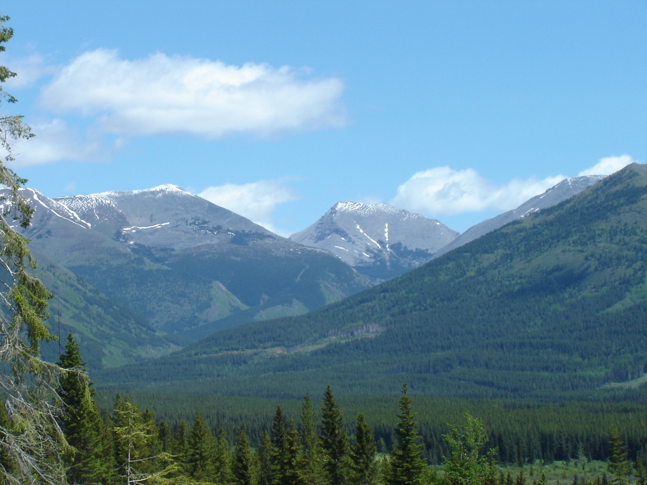
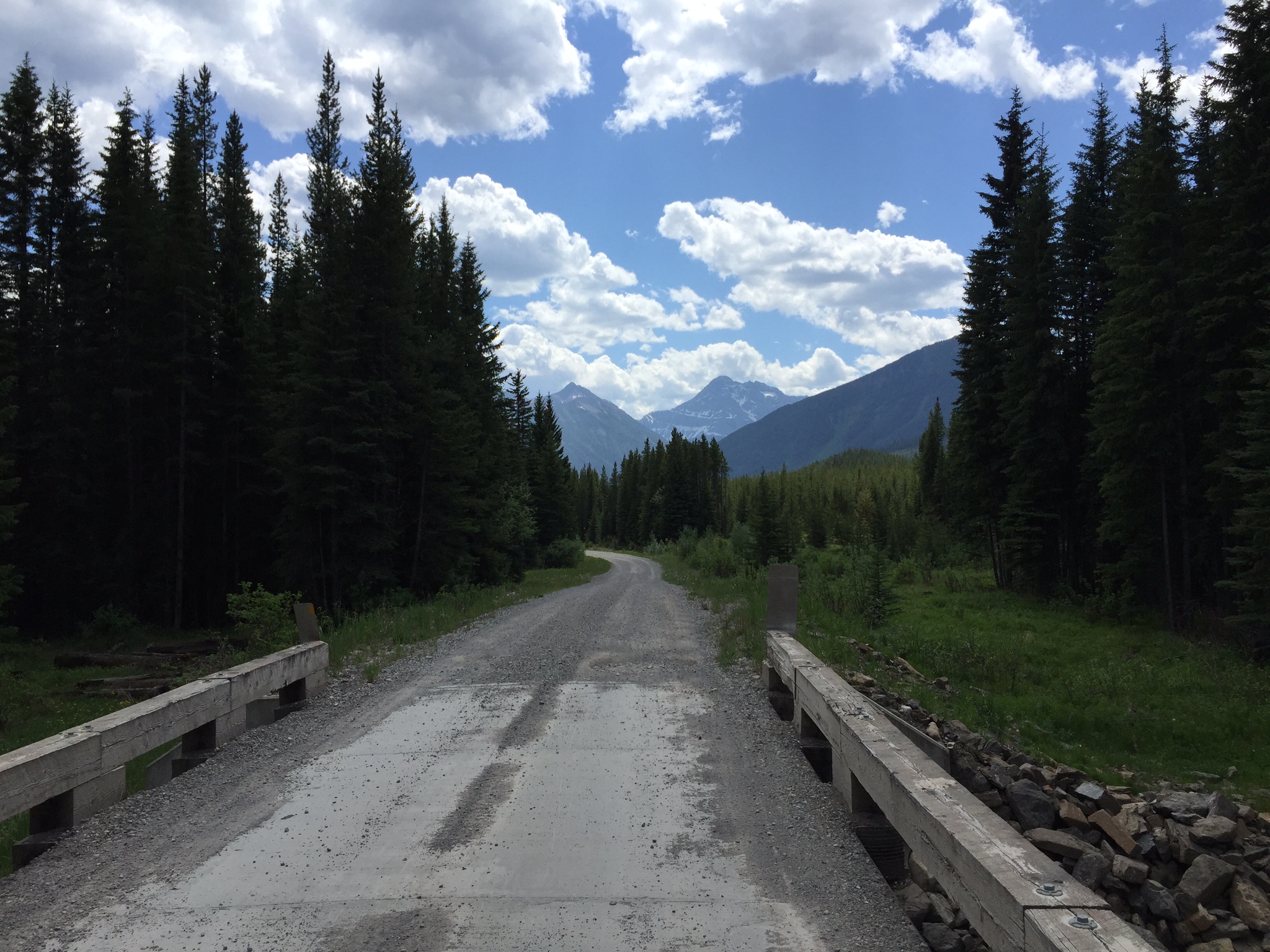
Looking into Aldridge Creek
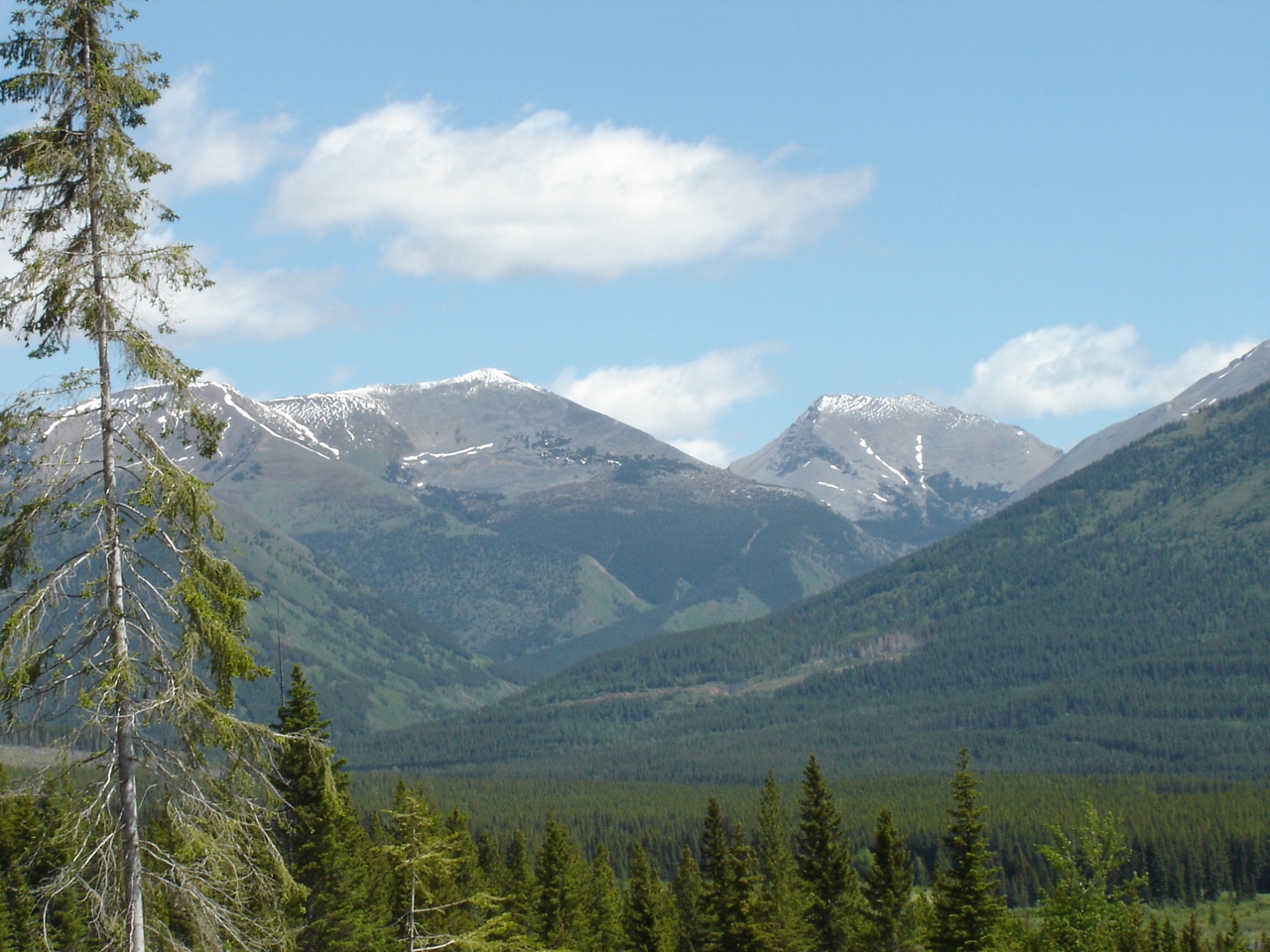
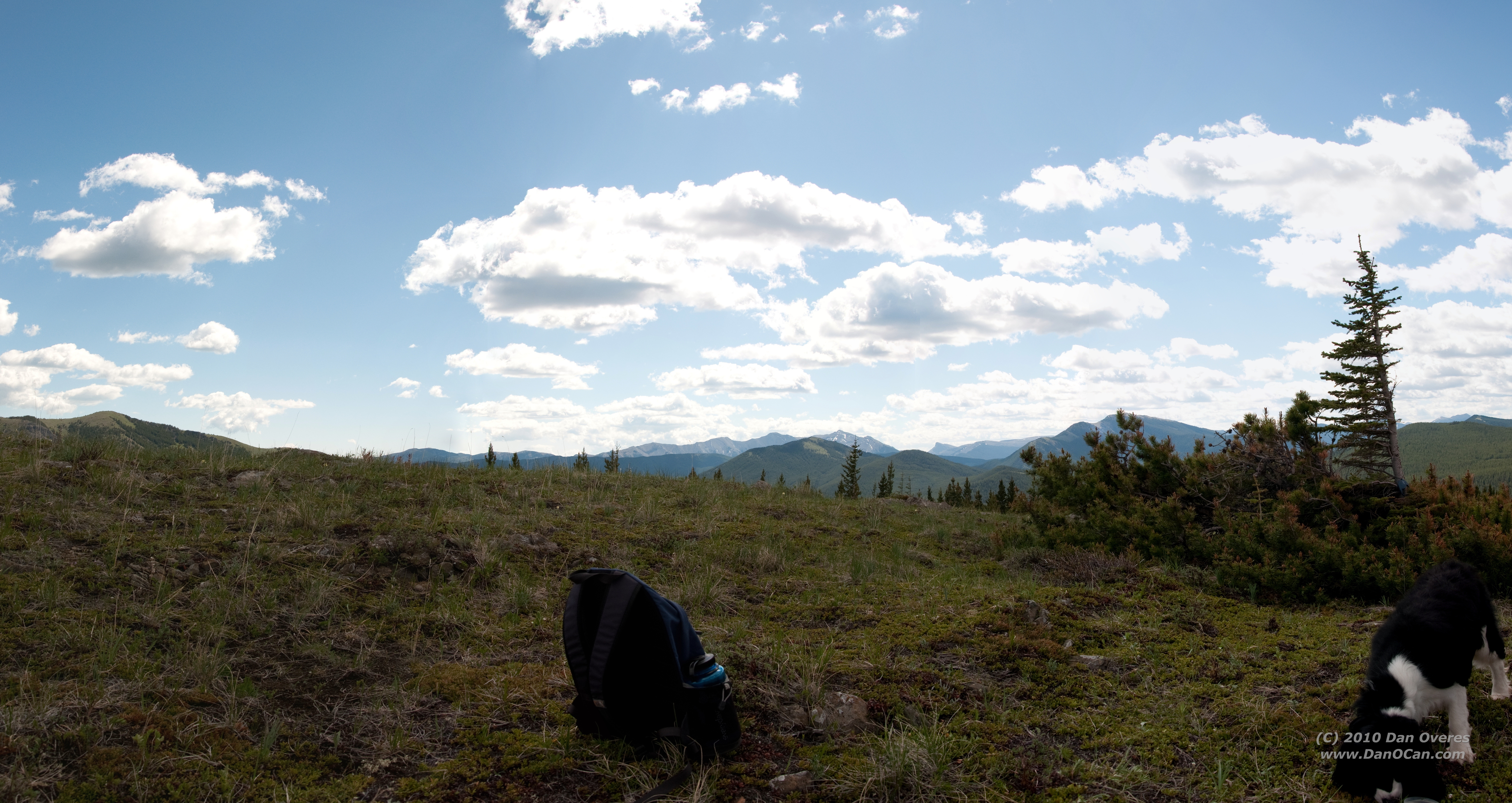
View North from Big Weary Ridge
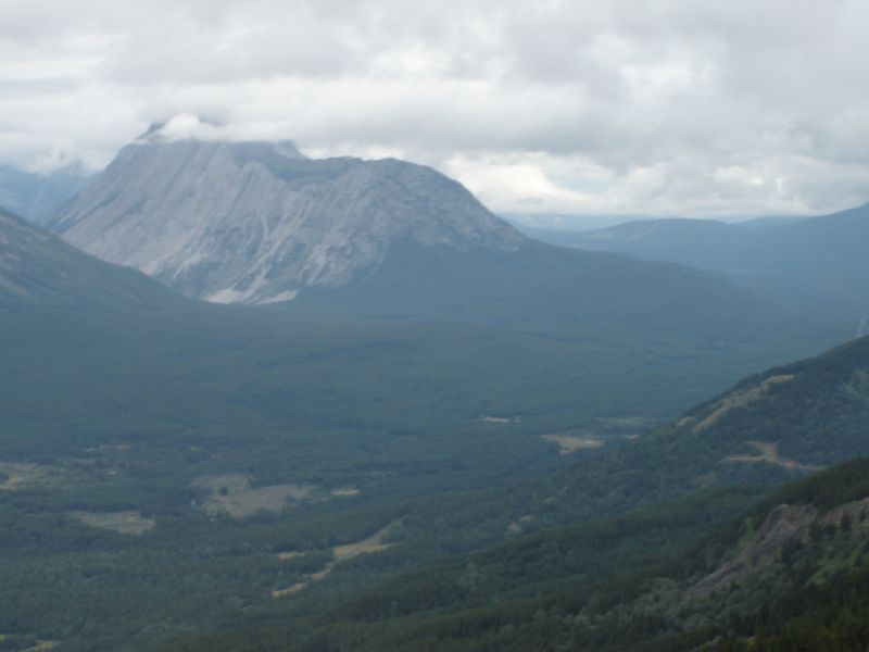
Looking at Aldridge and the burning coal seam
Slides north of harvest area
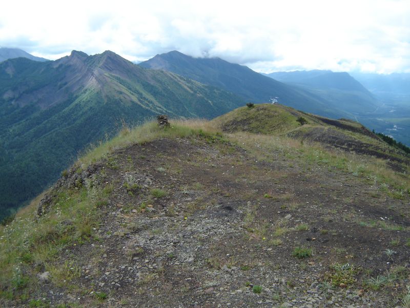
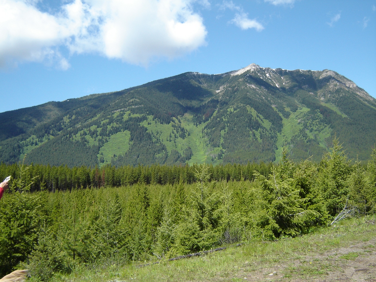
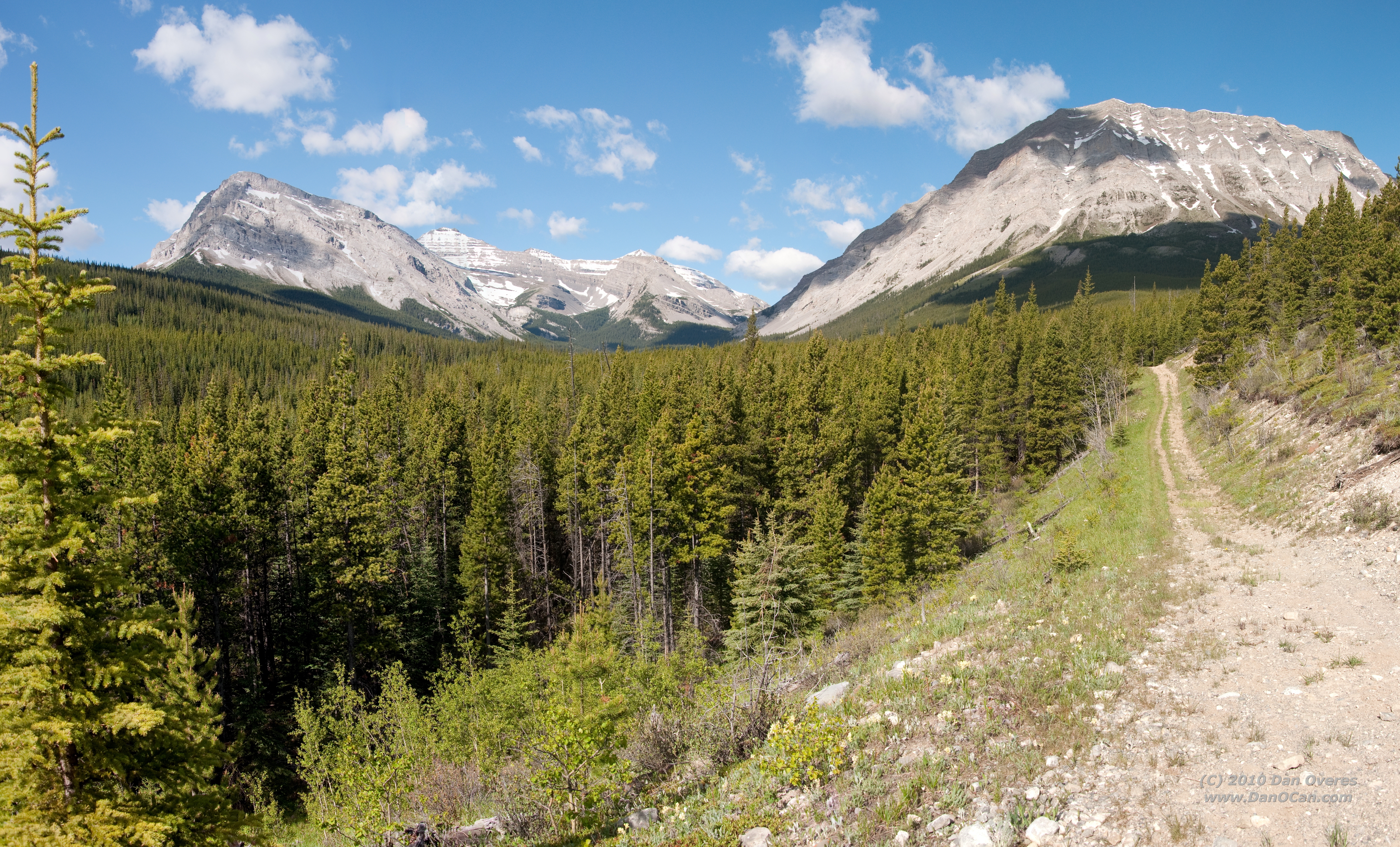
View south from Big Weary
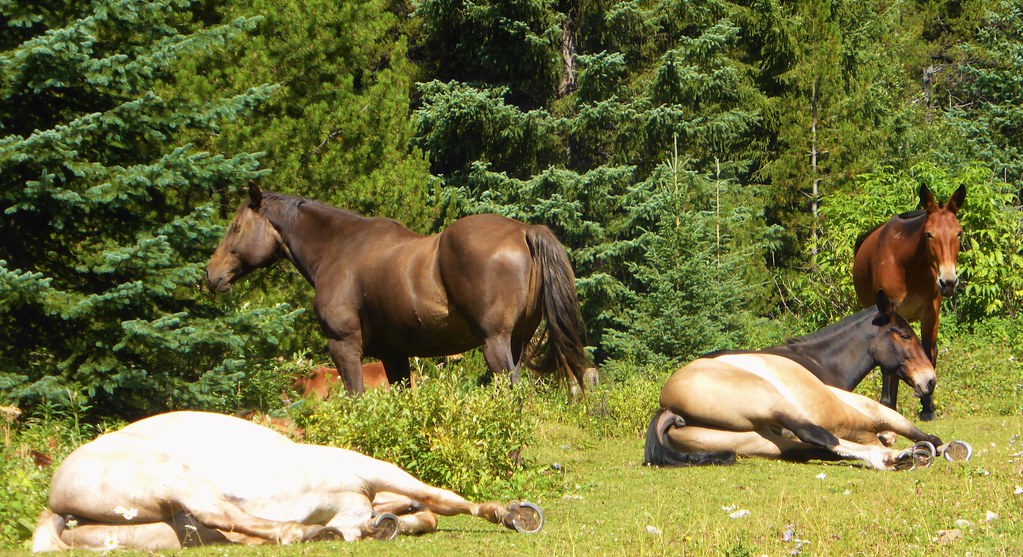
Lazy Horses - Canada

#distantdreams #twotrollsinmiddleearth #longingforsnowymountains and #skitouring on way down from #mtarmstrong #brewsterhut #trolleinmittelerde
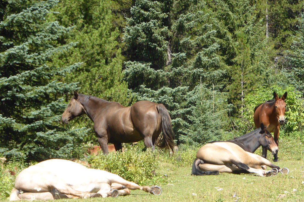
lazy horses
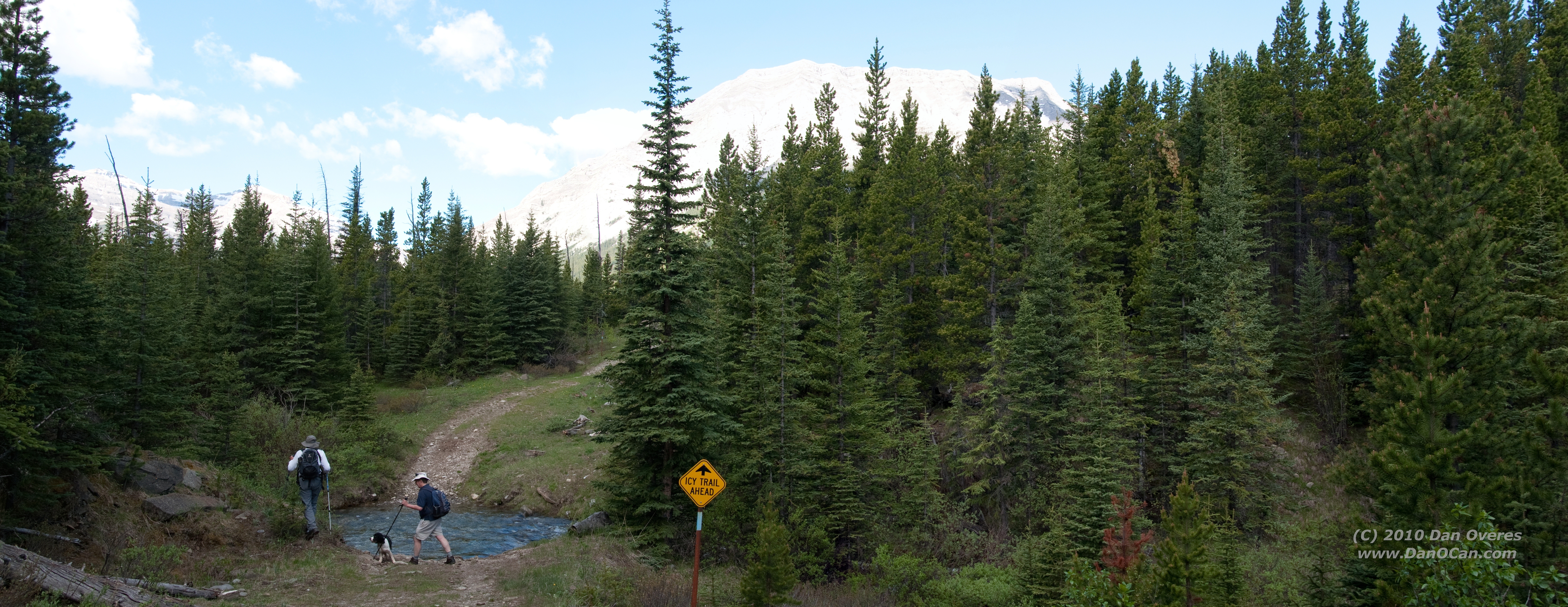
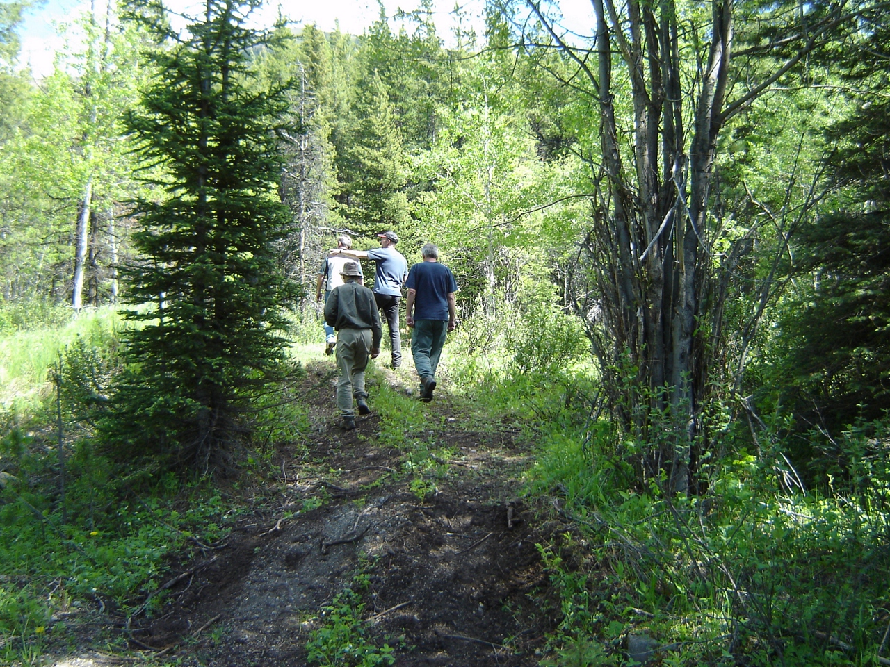
Various photos from last two days Left Sparwood Friday morning and crested my first pass. Flathead Pass. And ended up two miles short of the second of three passes so camped near top when it started raining Lots of walking but still pressing on
Various photos from last two days Left Sparwood Friday morning and crested my first pass. Flathead Pass. And ended up two miles short of the second of three passes so camped near top when it started raining Lots of walking but still pressing on
DSC_4528 Stitch
DSC_4508 Stitch
DSC_4504 Stitch

Road Flooding towards Elkford
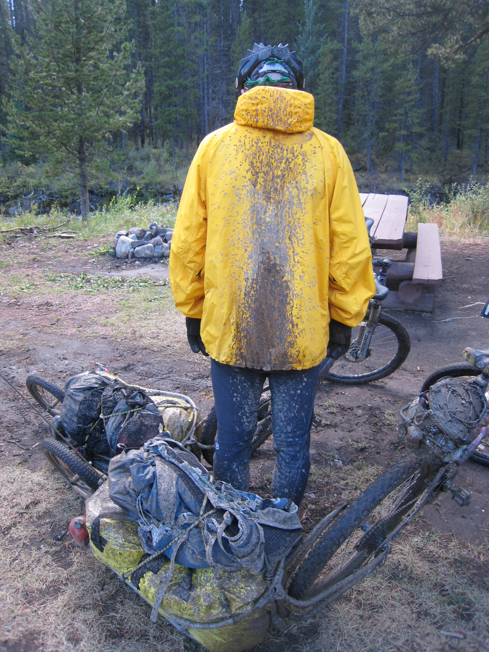
Mud, mud and more mud!
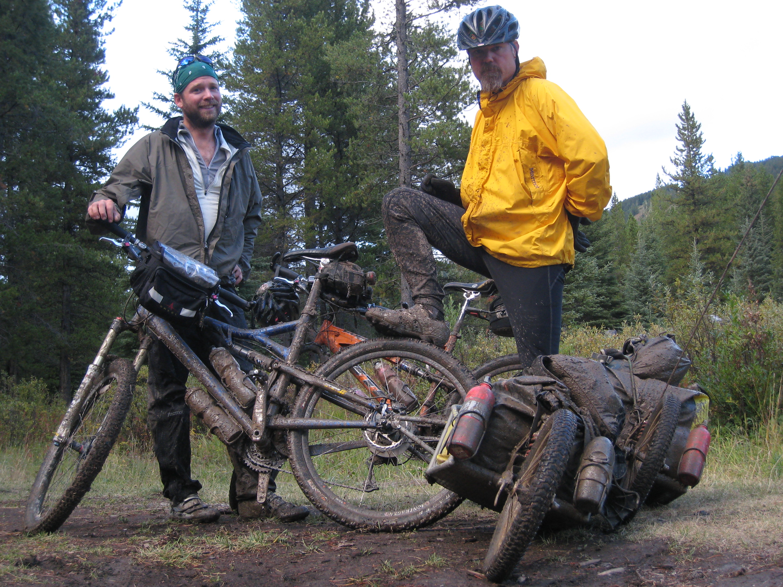
It's a dirty job...
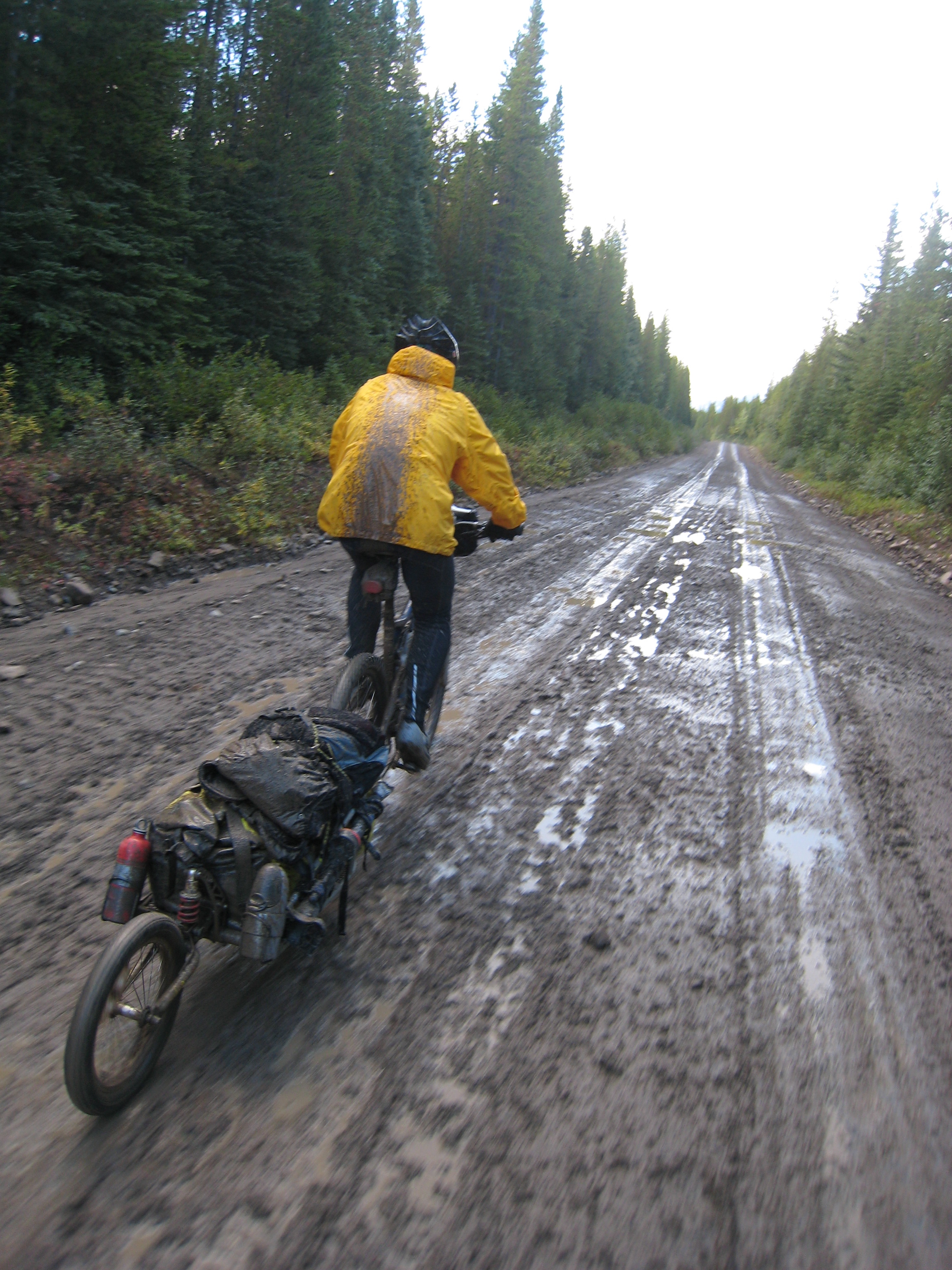
Willy pedaling on through the mud
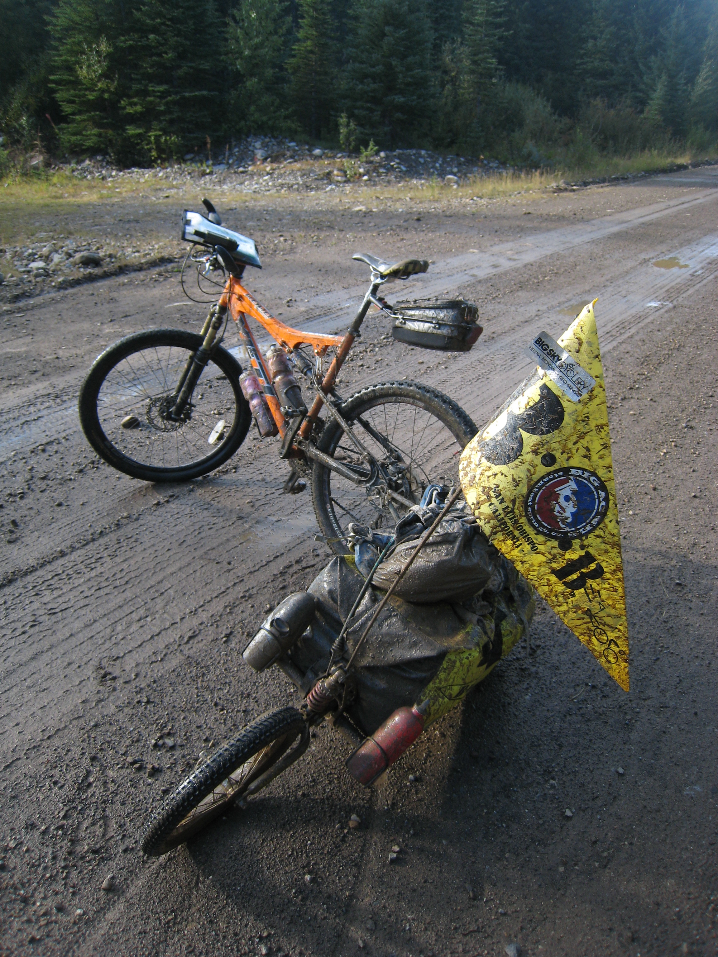
Mud!
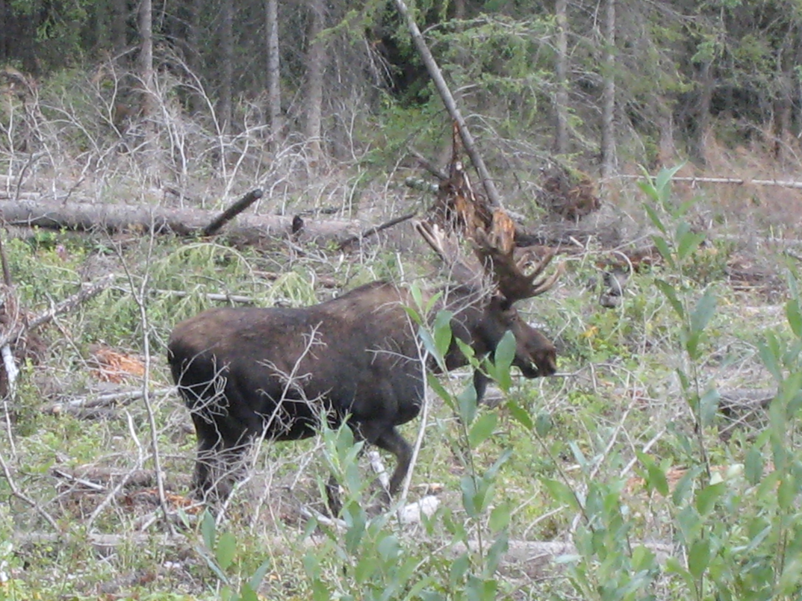
Moose eh?

ATV and truck access
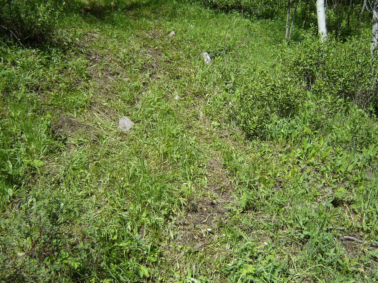
Signs of access (ATV + truck)
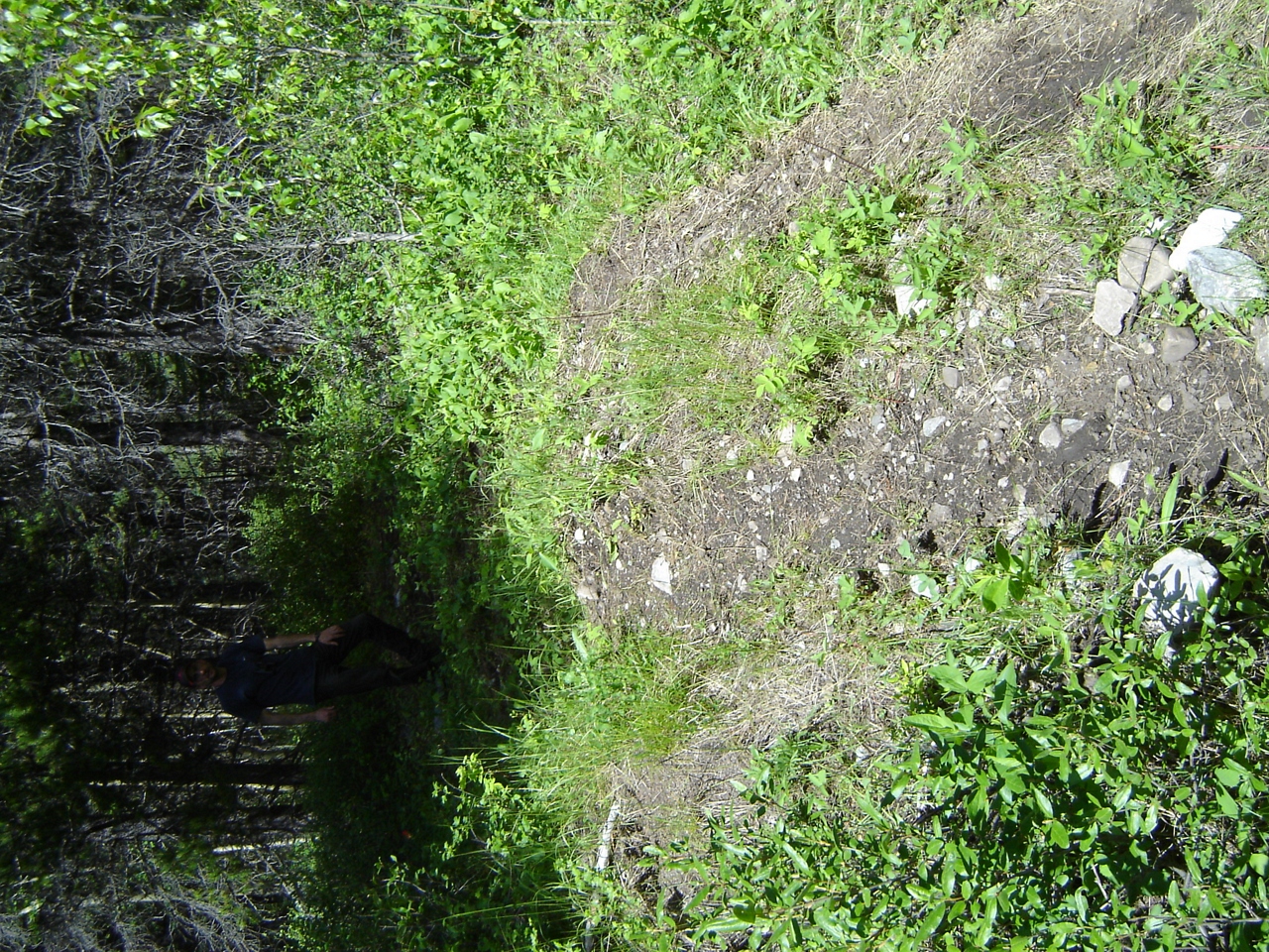
ATVs accessing Aldridge Creek

Illegal access at Aldridge
Illegal access at Aldridge Creek
DSC02941.JPG

DSC02940.JPG
Mapa de Mount Tuxford, East Kootenay A, BC V0B, Canadá
Buscar otro lugar
Lugares cercanos
Mount Veits, East Kootenay A, BC V0B, Canadá
Courcelette NW2, East Kootenay A, BC V0B, Canadá
Courcelette NW3, East Kootenay A, BC V0B, Canadá
Courcelette Peak, East Kootenay A, BC V0B, Canadá
Gill Peak, East Kootenay A, BC V0B, Canadá
Weary Ridge, East Kootenay A, BC V0B, Canadá
Mount Shankland, East Kootenay A, BC V0B, Canadá
Muir SW2, East Kootenay A, BC V0B, Canadá
Mount Cornwell, East Kootenay A, BC V0B, Canadá
Mount Maclaren, Kananaskis, AB T0L, Canadá
Mount Strachan, Kananaskis, AB T0L, Canadá
Mount McPhail, East Kootenay A, BC V0B, Canadá
Mount Etherington, East Kootenay A, BC V0B, Canadá
Baril Peak, Kananaskis, AB T0L, Canadá
Mount Armstrong, East Kootenay A, BC V0B, Canadá
Mount Scrimger, East Kootenay A, BC V0B, Canadá
Mount Bishop, Kananaskis, AB T0L, Canadá
Mount Farquhar, East Kootenay A, BC V0B, Canadá
Mount Pierce, East Kootenay A, BC V0B, Canadá
Peak 09-48, East Kootenay A, BC V0B, Canadá
Búsquedas recientes
- Horas de salida y puesta de sol de Hadiya, Ethiopia
- Horas de salida y puesta de sol de Hosaina, Etiopía
- Horas de salida y puesta de sol de Necochea, Provincia de Buenos Aires, Argentina
- Horas de salida y puesta de sol de Maxine St NE, Albuquerque, NM, USA
- Horas de salida y puesta de sol de Manhattan Special Economic Zone, Camboya, Krong Bavet, City
- Horas de salida y puesta de sol de 大洗神社東, Isohamacho, Ōarai, Distrito de Higashiibaraki, Prefectura de Ibaraki -, Japón
- Horas de salida y puesta de sol de Polzela, Eslovenia
- Horas de salida y puesta de sol de Río Duero
- Horas de salida y puesta de sol de Blue Point Beach, Pecatu, South Kuta, Badung Regency, Bali, Indonesia
- Horas de salida y puesta de sol de Village Point Dr, Daphne, AL, EE. UU.