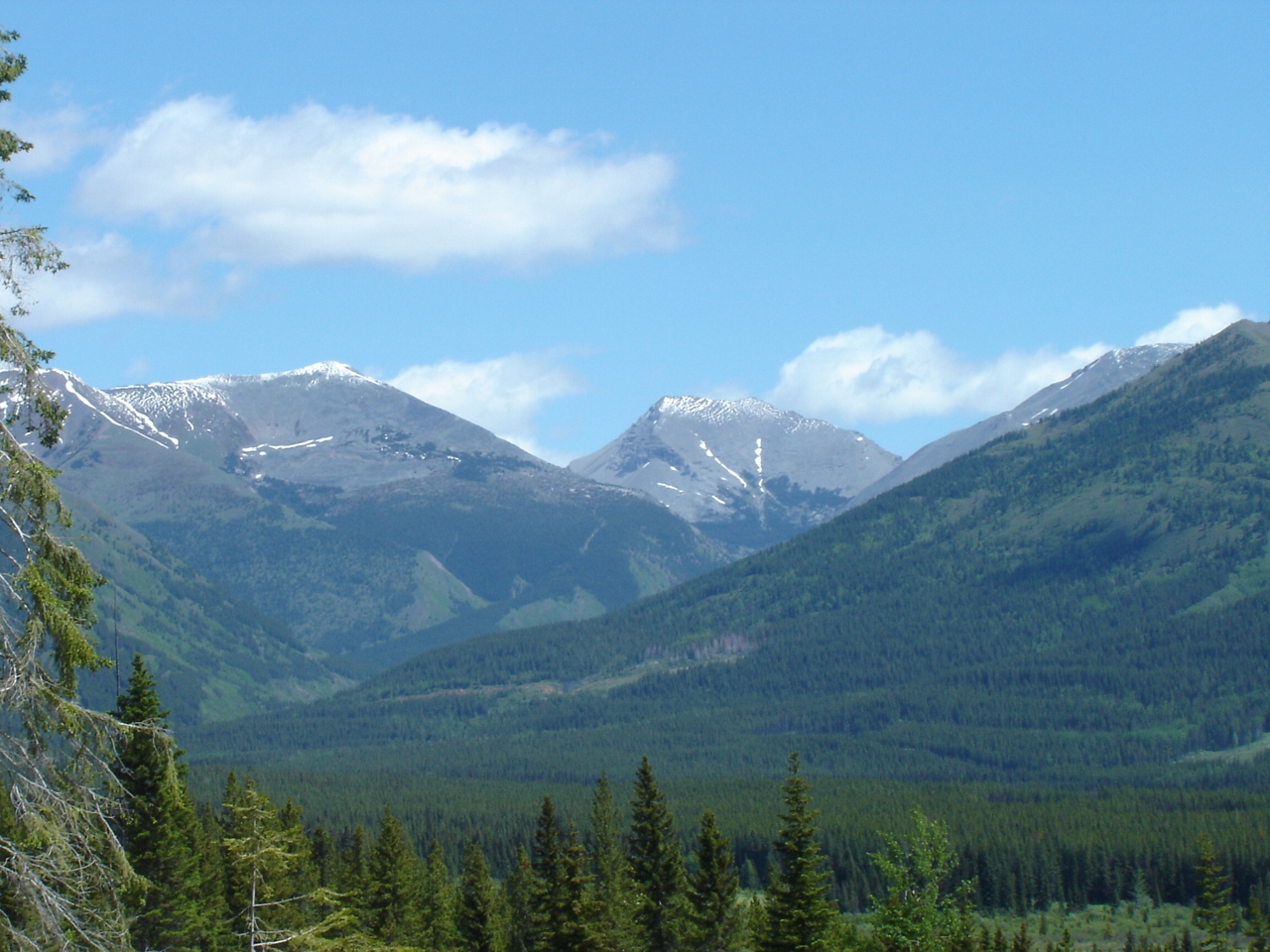
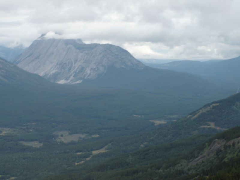
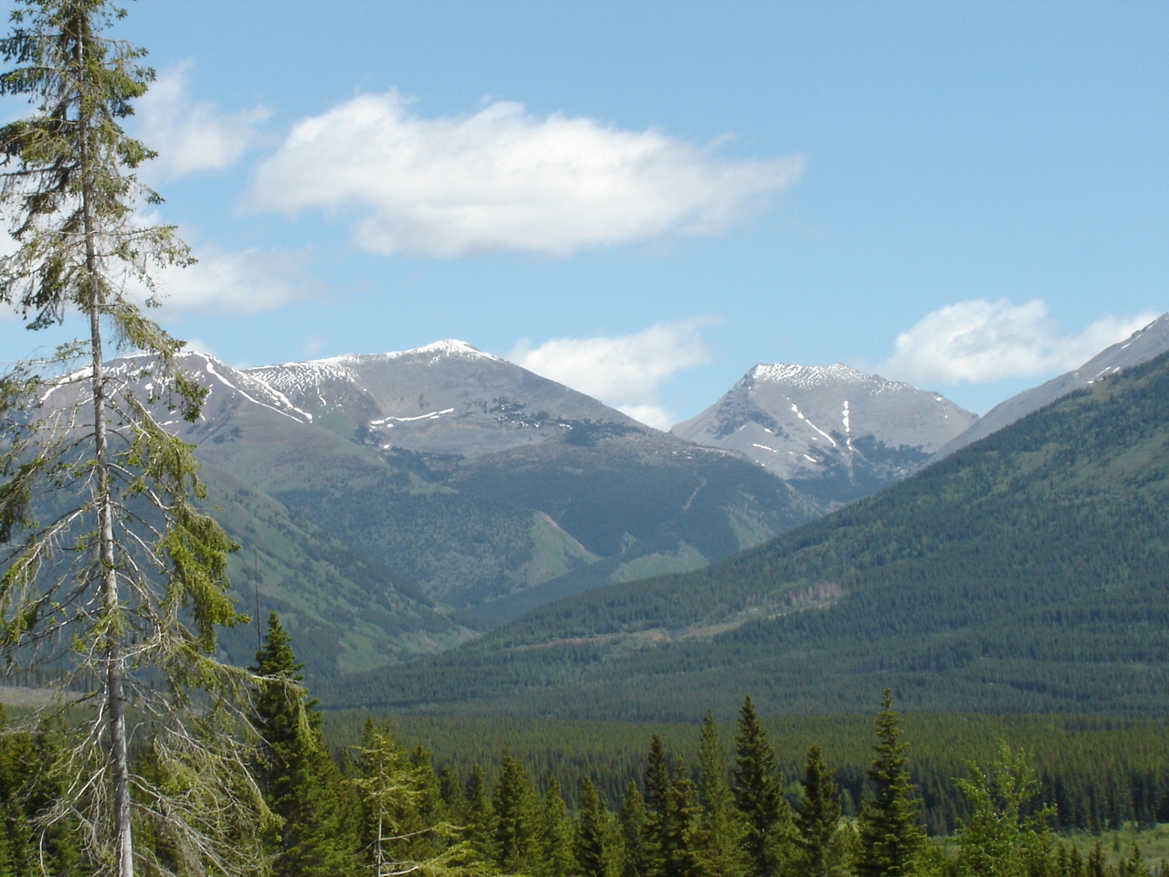
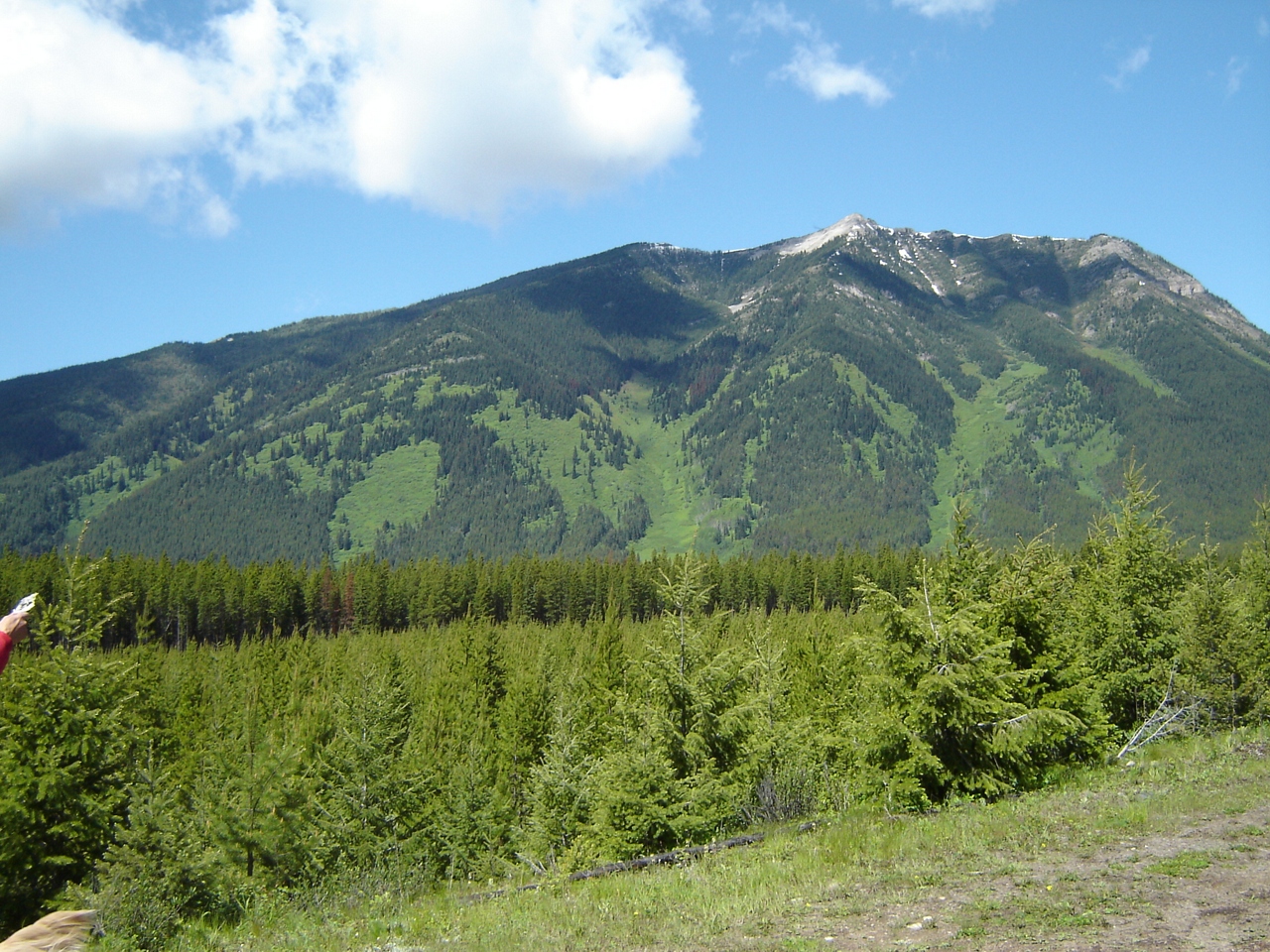
Mount Tuxford, East Kootenay A, BC V0B加拿大的日出日落时间表
Location: 加拿大 > 不列颠哥伦比亚省 > 加拿大 > 加拿大 >
时区:
America/Edmonton
当地时间:
2024-05-17 02:54:13
经度:
-114.8755555
纬度:
50.2927777
今天日出时间:
05:48:03 AM
今天日落时间:
09:23:50 PM
今天日照时常:
15h 35m 47s
明天日出时间:
05:46:46 AM
明天日落时间:
09:25:12 PM
明天日照时常:
15h 38m 26s
显示所有日期
| 日期 | 日出 | 日落 | 日照时常 |
|---|---|---|---|
| 2024年01月01日 | 08:39:06 AM | 04:47:36 PM | 8h 8m 30s |
| 2024年01月02日 | 08:38:58 AM | 04:48:39 PM | 8h 9m 41s |
| 2024年01月03日 | 08:38:47 AM | 04:49:45 PM | 8h 10m 58s |
| 2024年01月04日 | 08:38:33 AM | 04:50:54 PM | 8h 12m 21s |
| 2024年01月05日 | 08:38:15 AM | 04:52:05 PM | 8h 13m 50s |
| 2024年01月06日 | 08:37:54 AM | 04:53:18 PM | 8h 15m 24s |
| 2024年01月07日 | 08:37:31 AM | 04:54:33 PM | 8h 17m 2s |
| 2024年01月08日 | 08:37:04 AM | 04:55:50 PM | 8h 18m 46s |
| 2024年01月09日 | 08:36:34 AM | 04:57:09 PM | 8h 20m 35s |
| 2024年01月10日 | 08:36:01 AM | 04:58:30 PM | 8h 22m 29s |
| 2024年01月11日 | 08:35:25 AM | 04:59:53 PM | 8h 24m 28s |
| 2024年01月12日 | 08:34:46 AM | 05:01:18 PM | 8h 26m 32s |
| 2024年01月13日 | 08:34:05 AM | 05:02:44 PM | 8h 28m 39s |
| 2024年01月14日 | 08:33:20 AM | 05:04:12 PM | 8h 30m 52s |
| 2024年01月15日 | 08:32:32 AM | 05:05:41 PM | 8h 33m 9s |
| 2024年01月16日 | 08:31:42 AM | 05:07:12 PM | 8h 35m 30s |
| 2024年01月17日 | 08:30:49 AM | 05:08:44 PM | 8h 37m 55s |
| 2024年01月18日 | 08:29:54 AM | 05:10:17 PM | 8h 40m 23s |
| 2024年01月19日 | 08:28:55 AM | 05:11:52 PM | 8h 42m 57s |
| 2024年01月20日 | 08:27:55 AM | 05:13:27 PM | 8h 45m 32s |
| 2024年01月21日 | 08:26:51 AM | 05:15:04 PM | 8h 48m 13s |
| 2024年01月22日 | 08:25:45 AM | 05:16:41 PM | 8h 50m 56s |
| 2024年01月23日 | 08:24:37 AM | 05:18:20 PM | 8h 53m 43s |
| 2024年01月24日 | 08:23:26 AM | 05:19:59 PM | 8h 56m 33s |
| 2024年01月25日 | 08:22:13 AM | 05:21:39 PM | 8h 59m 26s |
| 2024年01月26日 | 08:20:58 AM | 05:23:20 PM | 9h 2m 22s |
| 2024年01月27日 | 08:19:40 AM | 05:25:01 PM | 9h 5m 21s |
| 2024年01月28日 | 08:18:20 AM | 05:26:43 PM | 9h 8m 23s |
| 2024年01月29日 | 08:16:58 AM | 05:28:25 PM | 9h 11m 27s |
| 2024年01月30日 | 08:15:34 AM | 05:30:08 PM | 9h 14m 34s |
| 2024年01月31日 | 08:14:08 AM | 05:31:52 PM | 9h 17m 44s |
| 2024年02月01日 | 08:12:40 AM | 05:33:35 PM | 9h 20m 55s |
| 2024年02月02日 | 08:11:10 AM | 05:35:19 PM | 9h 24m 9s |
| 2024年02月03日 | 08:09:39 AM | 05:37:03 PM | 9h 27m 24s |
| 2024年02月04日 | 08:08:05 AM | 05:38:47 PM | 9h 30m 42s |
| 2024年02月05日 | 08:06:29 AM | 05:40:32 PM | 9h 34m 3s |
| 2024年02月06日 | 08:04:52 AM | 05:42:17 PM | 9h 37m 25s |
| 2024年02月07日 | 08:03:14 AM | 05:44:01 PM | 9h 40m 47s |
| 2024年02月08日 | 08:01:33 AM | 05:45:46 PM | 9h 44m 13s |
| 2024年02月09日 | 07:59:51 AM | 05:47:31 PM | 9h 47m 40s |
| 2024年02月10日 | 07:58:08 AM | 05:49:16 PM | 9h 51m 8s |
| 2024年02月11日 | 07:56:23 AM | 05:51:00 PM | 9h 54m 37s |
| 2024年02月12日 | 07:54:36 AM | 05:52:45 PM | 9h 58m 9s |
| 2024年02月13日 | 07:52:48 AM | 05:54:29 PM | 10h 1m 41s |
| 2024年02月14日 | 07:50:59 AM | 05:56:14 PM | 10h 5m 15s |
| 2024年02月15日 | 07:49:09 AM | 05:57:58 PM | 10h 8m 49s |
| 2024年02月16日 | 07:47:17 AM | 05:59:42 PM | 10h 12m 25s |
| 2024年02月17日 | 07:45:24 AM | 06:01:26 PM | 10h 16m 2s |
| 2024年02月18日 | 07:43:30 AM | 06:03:10 PM | 10h 19m 40s |
| 2024年02月19日 | 07:41:34 AM | 06:04:53 PM | 10h 23m 19s |
| 2024年02月20日 | 07:39:38 AM | 06:06:36 PM | 10h 26m 58s |
| 2024年02月21日 | 07:37:41 AM | 06:08:19 PM | 10h 30m 38s |
| 2024年02月22日 | 07:35:42 AM | 06:10:02 PM | 10h 34m 20s |
| 2024年02月23日 | 07:33:43 AM | 06:11:45 PM | 10h 38m 2s |
| 2024年02月24日 | 07:31:43 AM | 06:13:27 PM | 10h 41m 44s |
| 2024年02月25日 | 07:29:41 AM | 06:15:09 PM | 10h 45m 28s |
| 2024年02月26日 | 07:27:39 AM | 06:16:50 PM | 10h 49m 11s |
| 2024年02月27日 | 07:25:36 AM | 06:18:32 PM | 10h 52m 56s |
| 2024年02月28日 | 07:23:33 AM | 06:20:13 PM | 10h 56m 40s |
| 2024年02月29日 | 07:21:28 AM | 06:21:54 PM | 11h 0m 26s |
| 2024年03月01日 | 07:19:23 AM | 06:23:34 PM | 11h 4m 11s |
| 2024年03月02日 | 07:17:18 AM | 06:25:15 PM | 11h 7m 57s |
| 2024年03月03日 | 07:15:11 AM | 06:26:55 PM | 11h 11m 44s |
| 2024年03月04日 | 07:13:04 AM | 06:28:34 PM | 11h 15m 30s |
| 2024年03月05日 | 07:10:57 AM | 06:30:14 PM | 11h 19m 17s |
| 2024年03月06日 | 07:08:49 AM | 06:31:53 PM | 11h 23m 4s |
| 2024年03月07日 | 07:06:40 AM | 06:33:32 PM | 11h 26m 52s |
| 2024年03月08日 | 07:04:31 AM | 06:35:11 PM | 11h 30m 40s |
| 2024年03月09日 | 07:02:22 AM | 06:36:49 PM | 11h 34m 27s |
| 2024年03月10日 | 08:00:17 AM | 07:38:23 PM | 11h 38m 6s |
| 2024年03月11日 | 07:58:07 AM | 07:40:01 PM | 11h 41m 54s |
| 2024年03月12日 | 07:55:57 AM | 07:41:39 PM | 11h 45m 42s |
| 2024年03月13日 | 07:53:46 AM | 07:43:17 PM | 11h 49m 31s |
| 2024年03月14日 | 07:51:35 AM | 07:44:54 PM | 11h 53m 19s |
| 2024年03月15日 | 07:49:23 AM | 07:46:31 PM | 11h 57m 8s |
| 2024年03月16日 | 07:47:12 AM | 07:48:08 PM | 12h 0m 56s |
| 2024年03月17日 | 07:45:00 AM | 07:49:45 PM | 12h 4m 45s |
| 2024年03月18日 | 07:42:48 AM | 07:51:22 PM | 12h 8m 34s |
| 2024年03月19日 | 07:40:36 AM | 07:52:58 PM | 12h 12m 22s |
| 2024年03月20日 | 07:38:24 AM | 07:54:34 PM | 12h 16m 10s |
| 2024年03月21日 | 07:36:12 AM | 07:56:11 PM | 12h 19m 59s |
| 2024年03月22日 | 07:34:00 AM | 07:57:47 PM | 12h 23m 47s |
| 2024年03月23日 | 07:31:48 AM | 07:59:23 PM | 12h 27m 35s |
| 2024年03月24日 | 07:29:36 AM | 08:00:59 PM | 12h 31m 23s |
| 2024年03月25日 | 07:27:24 AM | 08:02:34 PM | 12h 35m 10s |
| 2024年03月26日 | 07:25:12 AM | 08:04:10 PM | 12h 38m 58s |
| 2024年03月27日 | 07:23:00 AM | 08:05:46 PM | 12h 42m 46s |
| 2024年03月28日 | 07:20:49 AM | 08:07:21 PM | 12h 46m 32s |
| 2024年03月29日 | 07:18:37 AM | 08:08:57 PM | 12h 50m 20s |
| 2024年03月30日 | 07:16:26 AM | 08:10:32 PM | 12h 54m 6s |
| 2024年03月31日 | 07:14:15 AM | 08:12:07 PM | 12h 57m 52s |
| 2024年04月01日 | 07:12:05 AM | 08:13:43 PM | 13h 1m 38s |
| 2024年04月02日 | 07:09:54 AM | 08:15:18 PM | 13h 5m 24s |
| 2024年04月03日 | 07:07:44 AM | 08:16:53 PM | 13h 9m 9s |
| 2024年04月04日 | 07:05:35 AM | 08:18:28 PM | 13h 12m 53s |
| 2024年04月05日 | 07:03:26 AM | 08:20:04 PM | 13h 16m 38s |
| 2024年04月06日 | 07:01:17 AM | 08:21:39 PM | 13h 20m 22s |
| 2024年04月07日 | 06:59:09 AM | 08:23:14 PM | 13h 24m 5s |
| 2024年04月08日 | 06:57:01 AM | 08:24:49 PM | 13h 27m 48s |
| 2024年04月09日 | 06:54:54 AM | 08:26:24 PM | 13h 31m 30s |
| 2024年04月10日 | 06:52:47 AM | 08:28:00 PM | 13h 35m 13s |
| 2024年04月11日 | 06:50:41 AM | 08:29:35 PM | 13h 38m 54s |
| 2024年04月12日 | 06:48:36 AM | 08:31:10 PM | 13h 42m 34s |
| 2024年04月13日 | 06:46:31 AM | 08:32:45 PM | 13h 46m 14s |
| 2024年04月14日 | 06:44:27 AM | 08:34:20 PM | 13h 49m 53s |
| 2024年04月15日 | 06:42:24 AM | 08:35:55 PM | 13h 53m 31s |
| 2024年04月16日 | 06:40:22 AM | 08:37:30 PM | 13h 57m 8s |
| 2024年04月17日 | 06:38:20 AM | 08:39:05 PM | 14h 0m 45s |
| 2024年04月18日 | 06:36:20 AM | 08:40:40 PM | 14h 4m 20s |
| 2024年04月19日 | 06:34:20 AM | 08:42:15 PM | 14h 7m 55s |
| 2024年04月20日 | 06:32:21 AM | 08:43:50 PM | 14h 11m 29s |
| 2024年04月21日 | 06:30:23 AM | 08:45:25 PM | 14h 15m 2s |
| 2024年04月22日 | 06:28:26 AM | 08:47:00 PM | 14h 18m 34s |
| 2024年04月23日 | 06:26:30 AM | 08:48:34 PM | 14h 22m 4s |
| 2024年04月24日 | 06:24:36 AM | 08:50:09 PM | 14h 25m 33s |
| 2024年04月25日 | 06:22:42 AM | 08:51:43 PM | 14h 29m 1s |
| 2024年04月26日 | 06:20:50 AM | 08:53:17 PM | 14h 32m 27s |
| 2024年04月27日 | 06:18:59 AM | 08:54:51 PM | 14h 35m 52s |
| 2024年04月28日 | 06:17:09 AM | 08:56:25 PM | 14h 39m 16s |
| 2024年04月29日 | 06:15:20 AM | 08:57:58 PM | 14h 42m 38s |
| 2024年04月30日 | 06:13:33 AM | 08:59:31 PM | 14h 45m 58s |
| 2024年05月01日 | 06:11:47 AM | 09:01:04 PM | 14h 49m 17s |
| 2024年05月02日 | 06:10:02 AM | 09:02:37 PM | 14h 52m 35s |
| 2024年05月03日 | 06:08:19 AM | 09:04:09 PM | 14h 55m 50s |
| 2024年05月04日 | 06:06:38 AM | 09:05:41 PM | 14h 59m 3s |
| 2024年05月05日 | 06:04:58 AM | 09:07:12 PM | 15h 2m 14s |
| 2024年05月06日 | 06:03:20 AM | 09:08:43 PM | 15h 5m 23s |
| 2024年05月07日 | 06:01:43 AM | 09:10:13 PM | 15h 8m 30s |
| 2024年05月08日 | 06:00:08 AM | 09:11:43 PM | 15h 11m 35s |
| 2024年05月09日 | 05:58:35 AM | 09:13:12 PM | 15h 14m 37s |
| 2024年05月10日 | 05:57:03 AM | 09:14:41 PM | 15h 17m 38s |
| 2024年05月11日 | 05:55:34 AM | 09:16:09 PM | 15h 20m 35s |
| 2024年05月12日 | 05:54:06 AM | 09:17:36 PM | 15h 23m 30s |
| 2024年05月13日 | 05:52:40 AM | 09:19:02 PM | 15h 26m 22s |
| 2024年05月14日 | 05:51:17 AM | 09:20:27 PM | 15h 29m 10s |
| 2024年05月15日 | 05:49:55 AM | 09:21:52 PM | 15h 31m 57s |
| 2024年05月16日 | 05:48:35 AM | 09:23:16 PM | 15h 34m 41s |
| 2024年05月17日 | 05:47:18 AM | 09:24:38 PM | 15h 37m 20s |
| 2024年05月18日 | 05:46:02 AM | 09:26:00 PM | 15h 39m 58s |
| 2024年05月19日 | 05:44:49 AM | 09:27:20 PM | 15h 42m 31s |
| 2024年05月20日 | 05:43:38 AM | 09:28:40 PM | 15h 45m 2s |
| 2024年05月21日 | 05:42:29 AM | 09:29:58 PM | 15h 47m 29s |
| 2024年05月22日 | 05:41:23 AM | 09:31:14 PM | 15h 49m 51s |
| 2024年05月23日 | 05:40:19 AM | 09:32:30 PM | 15h 52m 11s |
| 2024年05月24日 | 05:39:17 AM | 09:33:43 PM | 15h 54m 26s |
| 2024年05月25日 | 05:38:18 AM | 09:34:56 PM | 15h 56m 38s |
| 2024年05月26日 | 05:37:22 AM | 09:36:07 PM | 15h 58m 45s |
| 2024年05月27日 | 05:36:28 AM | 09:37:16 PM | 16h 0m 48s |
| 2024年05月28日 | 05:35:37 AM | 09:38:23 PM | 16h 2m 46s |
| 2024年05月29日 | 05:34:48 AM | 09:39:29 PM | 16h 4m 41s |
| 2024年05月30日 | 05:34:02 AM | 09:40:33 PM | 16h 6m 31s |
| 2024年05月31日 | 05:33:18 AM | 09:41:35 PM | 16h 8m 17s |
| 2024年06月01日 | 05:32:37 AM | 09:42:35 PM | 16h 9m 58s |
| 2024年06月02日 | 05:32:00 AM | 09:43:33 PM | 16h 11m 33s |
| 2024年06月03日 | 05:31:24 AM | 09:44:29 PM | 16h 13m 5s |
| 2024年06月04日 | 05:30:52 AM | 09:45:23 PM | 16h 14m 31s |
| 2024年06月05日 | 05:30:22 AM | 09:46:14 PM | 16h 15m 52s |
| 2024年06月06日 | 05:29:56 AM | 09:47:04 PM | 16h 17m 8s |
| 2024年06月07日 | 05:29:32 AM | 09:47:51 PM | 16h 18m 19s |
| 2024年06月08日 | 05:29:11 AM | 09:48:35 PM | 16h 19m 24s |
| 2024年06月09日 | 05:28:53 AM | 09:49:17 PM | 16h 20m 24s |
| 2024年06月10日 | 05:28:38 AM | 09:49:57 PM | 16h 21m 19s |
| 2024年06月11日 | 05:28:25 AM | 09:50:34 PM | 16h 22m 9s |
| 2024年06月12日 | 05:28:16 AM | 09:51:09 PM | 16h 22m 53s |
| 2024年06月13日 | 05:28:10 AM | 09:51:41 PM | 16h 23m 31s |
| 2024年06月14日 | 05:28:06 AM | 09:52:10 PM | 16h 24m 4s |
| 2024年06月15日 | 05:28:05 AM | 09:52:37 PM | 16h 24m 32s |
| 2024年06月16日 | 05:28:08 AM | 09:53:00 PM | 16h 24m 52s |
| 2024年06月17日 | 05:28:13 AM | 09:53:21 PM | 16h 25m 8s |
| 2024年06月18日 | 05:28:21 AM | 09:53:40 PM | 16h 25m 19s |
| 2024年06月19日 | 05:28:32 AM | 09:53:55 PM | 16h 25m 23s |
| 2024年06月20日 | 05:28:45 AM | 09:54:07 PM | 16h 25m 22s |
| 2024年06月21日 | 05:29:02 AM | 09:54:17 PM | 16h 25m 15s |
| 2024年06月22日 | 05:29:21 AM | 09:54:24 PM | 16h 25m 3s |
| 2024年06月23日 | 05:29:43 AM | 09:54:27 PM | 16h 24m 44s |
| 2024年06月24日 | 05:30:08 AM | 09:54:28 PM | 16h 24m 20s |
| 2024年06月25日 | 05:30:35 AM | 09:54:26 PM | 16h 23m 51s |
| 2024年06月26日 | 05:31:05 AM | 09:54:21 PM | 16h 23m 16s |
| 2024年06月27日 | 05:31:37 AM | 09:54:13 PM | 16h 22m 36s |
| 2024年06月28日 | 05:32:12 AM | 09:54:02 PM | 16h 21m 50s |
| 2024年06月29日 | 05:32:50 AM | 09:53:48 PM | 16h 20m 58s |
| 2024年06月30日 | 05:33:30 AM | 09:53:31 PM | 16h 20m 1s |
| 2024年07月01日 | 05:34:12 AM | 09:53:11 PM | 16h 18m 59s |
| 2024年07月02日 | 05:34:57 AM | 09:52:48 PM | 16h 17m 51s |
| 2024年07月03日 | 05:35:44 AM | 09:52:22 PM | 16h 16m 38s |
| 2024年07月04日 | 05:36:33 AM | 09:51:54 PM | 16h 15m 21s |
| 2024年07月05日 | 05:37:24 AM | 09:51:22 PM | 16h 13m 58s |
| 2024年07月06日 | 05:38:18 AM | 09:50:48 PM | 16h 12m 30s |
| 2024年07月07日 | 05:39:13 AM | 09:50:11 PM | 16h 10m 58s |
| 2024年07月08日 | 05:40:11 AM | 09:49:31 PM | 16h 9m 20s |
| 2024年07月09日 | 05:41:10 AM | 09:48:48 PM | 16h 7m 38s |
| 2024年07月10日 | 05:42:11 AM | 09:48:03 PM | 16h 5m 52s |
| 2024年07月11日 | 05:43:14 AM | 09:47:15 PM | 16h 4m 1s |
| 2024年07月12日 | 05:44:19 AM | 09:46:24 PM | 16h 2m 5s |
| 2024年07月13日 | 05:45:25 AM | 09:45:31 PM | 16h 0m 6s |
| 2024年07月14日 | 05:46:33 AM | 09:44:35 PM | 15h 58m 2s |
| 2024年07月15日 | 05:47:42 AM | 09:43:36 PM | 15h 55m 54s |
| 2024年07月16日 | 05:48:53 AM | 09:42:35 PM | 15h 53m 42s |
| 2024年07月17日 | 05:50:06 AM | 09:41:31 PM | 15h 51m 25s |
| 2024年07月18日 | 05:51:19 AM | 09:40:26 PM | 15h 49m 7s |
| 2024年07月19日 | 05:52:34 AM | 09:39:17 PM | 15h 46m 43s |
| 2024年07月20日 | 05:53:50 AM | 09:38:07 PM | 15h 44m 17s |
| 2024年07月21日 | 05:55:07 AM | 09:36:54 PM | 15h 41m 47s |
| 2024年07月22日 | 05:56:25 AM | 09:35:39 PM | 15h 39m 14s |
| 2024年07月23日 | 05:57:45 AM | 09:34:21 PM | 15h 36m 36s |
| 2024年07月24日 | 05:59:05 AM | 09:33:02 PM | 15h 33m 57s |
| 2024年07月25日 | 06:00:26 AM | 09:31:40 PM | 15h 31m 14s |
| 2024年07月26日 | 06:01:48 AM | 09:30:16 PM | 15h 28m 28s |
| 2024年07月27日 | 06:03:11 AM | 09:28:51 PM | 15h 25m 40s |
| 2024年07月28日 | 06:04:34 AM | 09:27:23 PM | 15h 22m 49s |
| 2024年07月29日 | 06:05:59 AM | 09:25:54 PM | 15h 19m 55s |
| 2024年07月30日 | 06:07:23 AM | 09:24:22 PM | 15h 16m 59s |
| 2024年07月31日 | 06:08:49 AM | 09:22:49 PM | 15h 14m 0s |
| 2024年08月01日 | 06:10:15 AM | 09:21:14 PM | 15h 10m 59s |
| 2024年08月02日 | 06:11:42 AM | 09:19:37 PM | 15h 7m 55s |
| 2024年08月03日 | 06:13:09 AM | 09:17:59 PM | 15h 4m 50s |
| 2024年08月04日 | 06:14:36 AM | 09:16:19 PM | 15h 1m 43s |
| 2024年08月05日 | 06:16:04 AM | 09:14:37 PM | 14h 58m 33s |
| 2024年08月06日 | 06:17:32 AM | 09:12:54 PM | 14h 55m 22s |
| 2024年08月07日 | 06:19:01 AM | 09:11:09 PM | 14h 52m 8s |
| 2024年08月08日 | 06:20:30 AM | 09:09:23 PM | 14h 48m 53s |
| 2024年08月09日 | 06:21:59 AM | 09:07:36 PM | 14h 45m 37s |
| 2024年08月10日 | 06:23:28 AM | 09:05:47 PM | 14h 42m 19s |
| 2024年08月11日 | 06:24:58 AM | 09:03:56 PM | 14h 38m 58s |
| 2024年08月12日 | 06:26:27 AM | 09:02:05 PM | 14h 35m 38s |
| 2024年08月13日 | 06:27:57 AM | 09:00:12 PM | 14h 32m 15s |
| 2024年08月14日 | 06:29:27 AM | 08:58:18 PM | 14h 28m 51s |
| 2024年08月15日 | 06:30:58 AM | 08:56:23 PM | 14h 25m 25s |
| 2024年08月16日 | 06:32:28 AM | 08:54:27 PM | 14h 21m 59s |
| 2024年08月17日 | 06:33:58 AM | 08:52:29 PM | 14h 18m 31s |
| 2024年08月18日 | 06:35:29 AM | 08:50:31 PM | 14h 15m 2s |
| 2024年08月19日 | 06:36:59 AM | 08:48:31 PM | 14h 11m 32s |
| 2024年08月20日 | 06:38:29 AM | 08:46:31 PM | 14h 8m 2s |
| 2024年08月21日 | 06:40:00 AM | 08:44:30 PM | 14h 4m 30s |
| 2024年08月22日 | 06:41:31 AM | 08:42:28 PM | 14h 0m 57s |
| 2024年08月23日 | 06:43:01 AM | 08:40:25 PM | 13h 57m 24s |
| 2024年08月24日 | 06:44:32 AM | 08:38:21 PM | 13h 53m 49s |
| 2024年08月25日 | 06:46:02 AM | 08:36:16 PM | 13h 50m 14s |
| 2024年08月26日 | 06:47:33 AM | 08:34:11 PM | 13h 46m 38s |
| 2024年08月27日 | 06:49:03 AM | 08:32:05 PM | 13h 43m 2s |
| 2024年08月28日 | 06:50:34 AM | 08:29:58 PM | 13h 39m 24s |
| 2024年08月29日 | 06:52:04 AM | 08:27:50 PM | 13h 35m 46s |
| 2024年08月30日 | 06:53:34 AM | 08:25:42 PM | 13h 32m 8s |
| 2024年08月31日 | 06:55:05 AM | 08:23:34 PM | 13h 28m 29s |
| 2024年09月01日 | 06:56:35 AM | 08:21:24 PM | 13h 24m 49s |
| 2024年09月02日 | 06:58:06 AM | 08:19:15 PM | 13h 21m 9s |
| 2024年09月03日 | 06:59:36 AM | 08:17:04 PM | 13h 17m 28s |
| 2024年09月04日 | 07:01:06 AM | 08:14:54 PM | 13h 13m 48s |
| 2024年09月05日 | 07:02:37 AM | 08:12:43 PM | 13h 10m 6s |
| 2024年09月06日 | 07:04:07 AM | 08:10:31 PM | 13h 6m 24s |
| 2024年09月07日 | 07:05:37 AM | 08:08:20 PM | 13h 2m 43s |
| 2024年09月08日 | 07:07:08 AM | 08:06:07 PM | 12h 58m 59s |
| 2024年09月09日 | 07:08:38 AM | 08:03:55 PM | 12h 55m 17s |
| 2024年09月10日 | 07:10:08 AM | 08:01:42 PM | 12h 51m 34s |
| 2024年09月11日 | 07:11:39 AM | 07:59:29 PM | 12h 47m 50s |
| 2024年09月12日 | 07:13:09 AM | 07:57:16 PM | 12h 44m 7s |
| 2024年09月13日 | 07:14:40 AM | 07:55:03 PM | 12h 40m 23s |
| 2024年09月14日 | 07:16:10 AM | 07:52:50 PM | 12h 36m 40s |
| 2024年09月15日 | 07:17:41 AM | 07:50:36 PM | 12h 32m 55s |
| 2024年09月16日 | 07:19:12 AM | 07:48:22 PM | 12h 29m 10s |
| 2024年09月17日 | 07:20:43 AM | 07:46:09 PM | 12h 25m 26s |
| 2024年09月18日 | 07:22:13 AM | 07:43:55 PM | 12h 21m 42s |
| 2024年09月19日 | 07:23:45 AM | 07:41:41 PM | 12h 17m 56s |
| 2024年09月20日 | 07:25:16 AM | 07:39:28 PM | 12h 14m 12s |
| 2024年09月21日 | 07:26:47 AM | 07:37:14 PM | 12h 10m 27s |
| 2024年09月22日 | 07:28:18 AM | 07:35:00 PM | 12h 6m 42s |
| 2024年09月23日 | 07:29:50 AM | 07:32:47 PM | 12h 2m 57s |
| 2024年09月24日 | 07:31:22 AM | 07:30:34 PM | 11h 59m 12s |
| 2024年09月25日 | 07:32:54 AM | 07:28:21 PM | 11h 55m 27s |
| 2024年09月26日 | 07:34:26 AM | 07:26:08 PM | 11h 51m 42s |
| 2024年09月27日 | 07:35:58 AM | 07:23:55 PM | 11h 47m 57s |
| 2024年09月28日 | 07:37:31 AM | 07:21:43 PM | 11h 44m 12s |
| 2024年09月29日 | 07:39:04 AM | 07:19:31 PM | 11h 40m 27s |
| 2024年09月30日 | 07:40:37 AM | 07:17:19 PM | 11h 36m 42s |
| 2024年10月01日 | 07:42:10 AM | 07:15:08 PM | 11h 32m 58s |
| 2024年10月02日 | 07:43:44 AM | 07:12:57 PM | 11h 29m 13s |
| 2024年10月03日 | 07:45:17 AM | 07:10:47 PM | 11h 25m 30s |
| 2024年10月04日 | 07:46:51 AM | 07:08:37 PM | 11h 21m 46s |
| 2024年10月05日 | 07:48:26 AM | 07:06:27 PM | 11h 18m 1s |
| 2024年10月06日 | 07:50:00 AM | 07:04:18 PM | 11h 14m 18s |
| 2024年10月07日 | 07:51:35 AM | 07:02:10 PM | 11h 10m 35s |
| 2024年10月08日 | 07:53:10 AM | 07:00:02 PM | 11h 6m 52s |
| 2024年10月09日 | 07:54:46 AM | 06:57:55 PM | 11h 3m 9s |
| 2024年10月10日 | 07:56:21 AM | 06:55:48 PM | 10h 59m 27s |
| 2024年10月11日 | 07:57:57 AM | 06:53:43 PM | 10h 55m 46s |
| 2024年10月12日 | 07:59:34 AM | 06:51:38 PM | 10h 52m 4s |
| 2024年10月13日 | 08:01:10 AM | 06:49:33 PM | 10h 48m 23s |
| 2024年10月14日 | 08:02:47 AM | 06:47:30 PM | 10h 44m 43s |
| 2024年10月15日 | 08:04:25 AM | 06:45:27 PM | 10h 41m 2s |
| 2024年10月16日 | 08:06:02 AM | 06:43:25 PM | 10h 37m 23s |
| 2024年10月17日 | 08:07:40 AM | 06:41:25 PM | 10h 33m 45s |
| 2024年10月18日 | 08:09:18 AM | 06:39:25 PM | 10h 30m 7s |
| 2024年10月19日 | 08:10:57 AM | 06:37:26 PM | 10h 26m 29s |
| 2024年10月20日 | 08:12:35 AM | 06:35:28 PM | 10h 22m 53s |
| 2024年10月21日 | 08:14:14 AM | 06:33:31 PM | 10h 19m 17s |
| 2024年10月22日 | 08:15:54 AM | 06:31:36 PM | 10h 15m 42s |
| 2024年10月23日 | 08:17:33 AM | 06:29:41 PM | 10h 12m 8s |
| 2024年10月24日 | 08:19:13 AM | 06:27:48 PM | 10h 8m 35s |
| 2024年10月25日 | 08:20:53 AM | 06:25:56 PM | 10h 5m 3s |
| 2024年10月26日 | 08:22:33 AM | 06:24:05 PM | 10h 1m 32s |
| 2024年10月27日 | 08:24:13 AM | 06:22:16 PM | 9h 58m 3s |
| 2024年10月28日 | 08:25:53 AM | 06:20:28 PM | 9h 54m 35s |
| 2024年10月29日 | 08:27:34 AM | 06:18:41 PM | 9h 51m 7s |
| 2024年10月30日 | 08:29:15 AM | 06:16:56 PM | 9h 47m 41s |
| 2024年10月31日 | 08:30:55 AM | 06:15:12 PM | 9h 44m 17s |
| 2024年11月01日 | 08:32:36 AM | 06:13:30 PM | 9h 40m 54s |
| 2024年11月02日 | 08:34:17 AM | 06:11:50 PM | 9h 37m 33s |
| 2024年11月03日 | 07:36:02 AM | 05:10:07 PM | 9h 34m 5s |
| 2024年11月04日 | 07:37:43 AM | 05:08:30 PM | 9h 30m 47s |
| 2024年11月05日 | 07:39:23 AM | 05:06:55 PM | 9h 27m 32s |
| 2024年11月06日 | 07:41:04 AM | 05:05:21 PM | 9h 24m 17s |
| 2024年11月07日 | 07:42:44 AM | 05:03:50 PM | 9h 21m 6s |
| 2024年11月08日 | 07:44:24 AM | 05:02:20 PM | 9h 17m 56s |
| 2024年11月09日 | 07:46:04 AM | 05:00:52 PM | 9h 14m 48s |
| 2024年11月10日 | 07:47:44 AM | 04:59:27 PM | 9h 11m 43s |
| 2024年11月11日 | 07:49:23 AM | 04:58:03 PM | 9h 8m 40s |
| 2024年11月12日 | 07:51:01 AM | 04:56:41 PM | 9h 5m 40s |
| 2024年11月13日 | 07:52:40 AM | 04:55:22 PM | 9h 2m 42s |
| 2024年11月14日 | 07:54:17 AM | 04:54:05 PM | 8h 59m 48s |
| 2024年11月15日 | 07:55:54 AM | 04:52:50 PM | 8h 56m 56s |
| 2024年11月16日 | 07:57:31 AM | 04:51:38 PM | 8h 54m 7s |
| 2024年11月17日 | 07:59:07 AM | 04:50:28 PM | 8h 51m 21s |
| 2024年11月18日 | 08:00:42 AM | 04:49:20 PM | 8h 48m 38s |
| 2024年11月19日 | 08:02:16 AM | 04:48:15 PM | 8h 45m 59s |
| 2024年11月20日 | 08:03:49 AM | 04:47:12 PM | 8h 43m 23s |
| 2024年11月21日 | 08:05:21 AM | 04:46:12 PM | 8h 40m 51s |
| 2024年11月22日 | 08:06:52 AM | 04:45:15 PM | 8h 38m 23s |
| 2024年11月23日 | 08:08:22 AM | 04:44:20 PM | 8h 35m 58s |
| 2024年11月24日 | 08:09:51 AM | 04:43:28 PM | 8h 33m 37s |
| 2024年11月25日 | 08:11:18 AM | 04:42:38 PM | 8h 31m 20s |
| 2024年11月26日 | 08:12:44 AM | 04:41:52 PM | 8h 29m 8s |
| 2024年11月27日 | 08:14:09 AM | 04:41:09 PM | 8h 27m 0s |
| 2024年11月28日 | 08:15:32 AM | 04:40:28 PM | 8h 24m 56s |
| 2024年11月29日 | 08:16:54 AM | 04:39:50 PM | 8h 22m 56s |
| 2024年11月30日 | 08:18:13 AM | 04:39:16 PM | 8h 21m 3s |
| 2024年12月01日 | 08:19:31 AM | 04:38:44 PM | 8h 19m 13s |
| 2024年12月02日 | 08:20:48 AM | 04:38:15 PM | 8h 17m 27s |
| 2024年12月03日 | 08:22:02 AM | 04:37:50 PM | 8h 15m 48s |
| 2024年12月04日 | 08:23:14 AM | 04:37:27 PM | 8h 14m 13s |
| 2024年12月05日 | 08:24:24 AM | 04:37:08 PM | 8h 12m 44s |
| 2024年12月06日 | 08:25:32 AM | 04:36:52 PM | 8h 11m 20s |
| 2024年12月07日 | 08:26:38 AM | 04:36:39 PM | 8h 10m 1s |
| 2024年12月08日 | 08:27:41 AM | 04:36:30 PM | 8h 8m 49s |
| 2024年12月09日 | 08:28:42 AM | 04:36:23 PM | 8h 7m 41s |
| 2024年12月10日 | 08:29:41 AM | 04:36:20 PM | 8h 6m 39s |
| 2024年12月11日 | 08:30:37 AM | 04:36:20 PM | 8h 5m 43s |
| 2024年12月12日 | 08:31:30 AM | 04:36:23 PM | 8h 4m 53s |
| 2024年12月13日 | 08:32:21 AM | 04:36:30 PM | 8h 4m 9s |
| 2024年12月14日 | 08:33:09 AM | 04:36:40 PM | 8h 3m 31s |
| 2024年12月15日 | 08:33:54 AM | 04:36:53 PM | 8h 2m 59s |
| 2024年12月16日 | 08:34:37 AM | 04:37:09 PM | 8h 2m 32s |
| 2024年12月17日 | 08:35:16 AM | 04:37:29 PM | 8h 2m 13s |
| 2024年12月18日 | 08:35:53 AM | 04:37:51 PM | 8h 1m 58s |
| 2024年12月19日 | 08:36:26 AM | 04:38:17 PM | 8h 1m 51s |
| 2024年12月20日 | 08:36:57 AM | 04:38:46 PM | 8h 1m 49s |
| 2024年12月21日 | 08:37:25 AM | 04:39:18 PM | 8h 1m 53s |
| 2024年12月22日 | 08:37:49 AM | 04:39:53 PM | 8h 2m 4s |
| 2024年12月23日 | 08:38:11 AM | 04:40:32 PM | 8h 2m 21s |
| 2024年12月24日 | 08:38:29 AM | 04:41:13 PM | 8h 2m 44s |
| 2024年12月25日 | 08:38:44 AM | 04:41:57 PM | 8h 3m 13s |
| 2024年12月26日 | 08:38:56 AM | 04:42:44 PM | 8h 3m 48s |
| 2024年12月27日 | 08:39:05 AM | 04:43:34 PM | 8h 4m 29s |
| 2024年12月28日 | 08:39:10 AM | 04:44:26 PM | 8h 5m 16s |
| 2024年12月29日 | 08:39:12 AM | 04:45:22 PM | 8h 6m 10s |
| 2024年12月30日 | 08:39:12 AM | 04:46:20 PM | 8h 7m 8s |
日出日落照片
Looking into Aldridge Creek
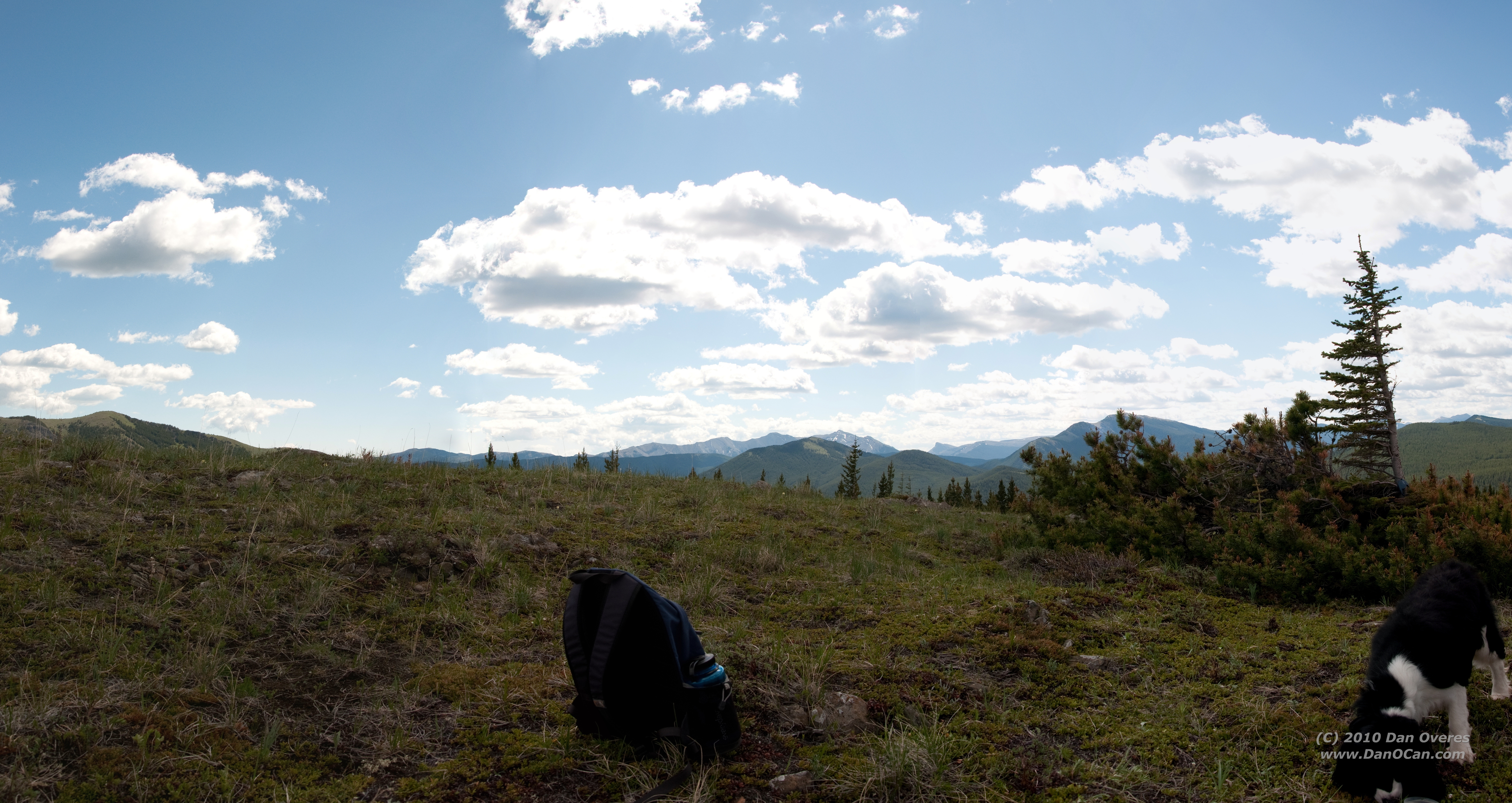
View North from Big Weary Ridge
Looking at Aldridge and the burning coal seam
Slides north of harvest area
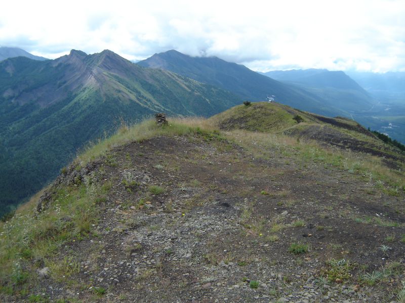
View south from Big Weary
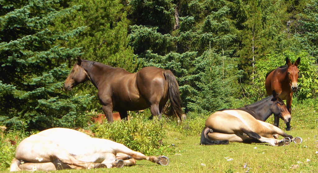
Lazy Horses - Canada

#distantdreams #twotrollsinmiddleearth #longingforsnowymountains and #skitouring on way down from #mtarmstrong #brewsterhut #trolleinmittelerde
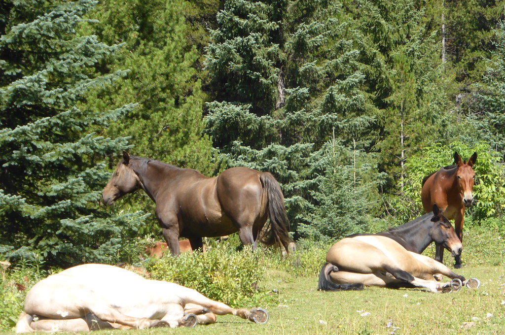
lazy horses
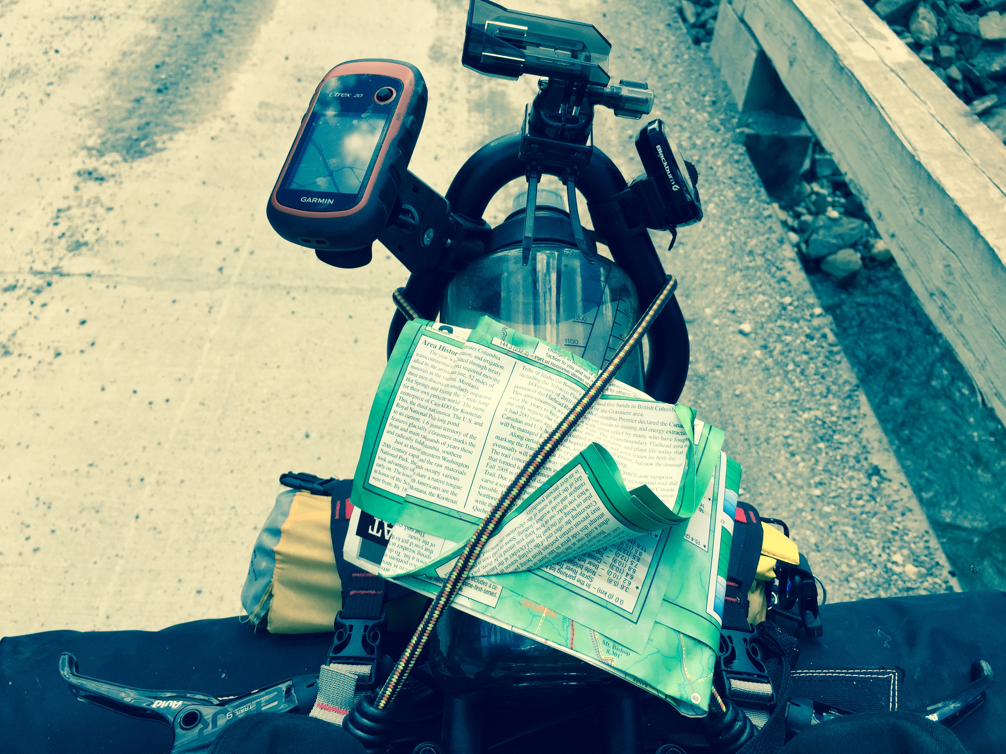
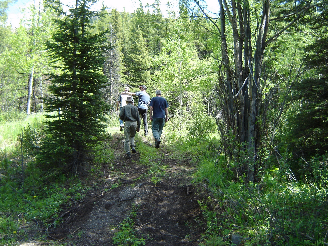
Various photos from last two days Left Sparwood Friday morning and crested my first pass. Flathead Pass. And ended up two miles short of the second of three passes so camped near top when it started raining Lots of walking but still pressing on
Various photos from last two days Left Sparwood Friday morning and crested my first pass. Flathead Pass. And ended up two miles short of the second of three passes so camped near top when it started raining Lots of walking but still pressing on
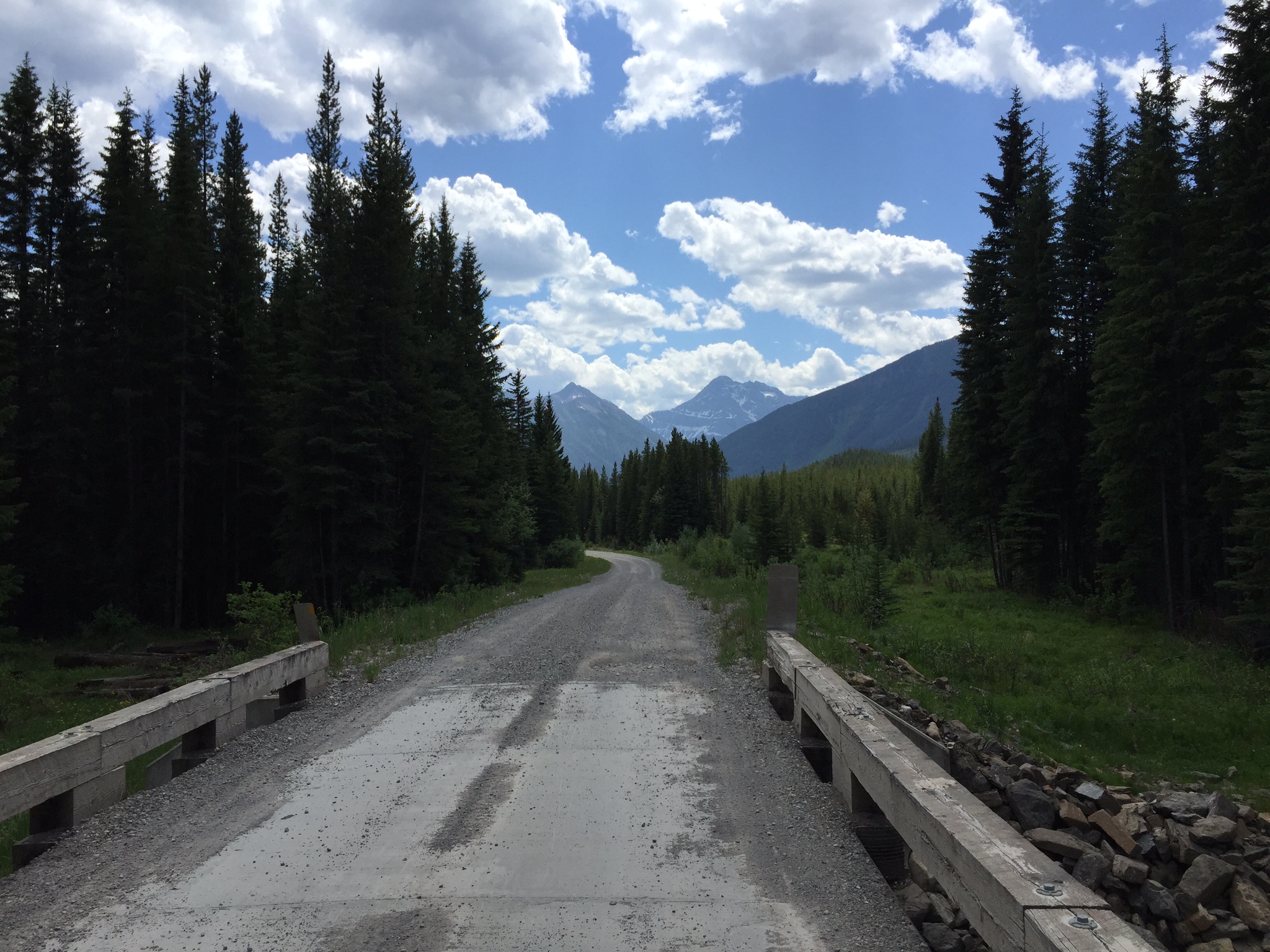
DSC_4528 Stitch
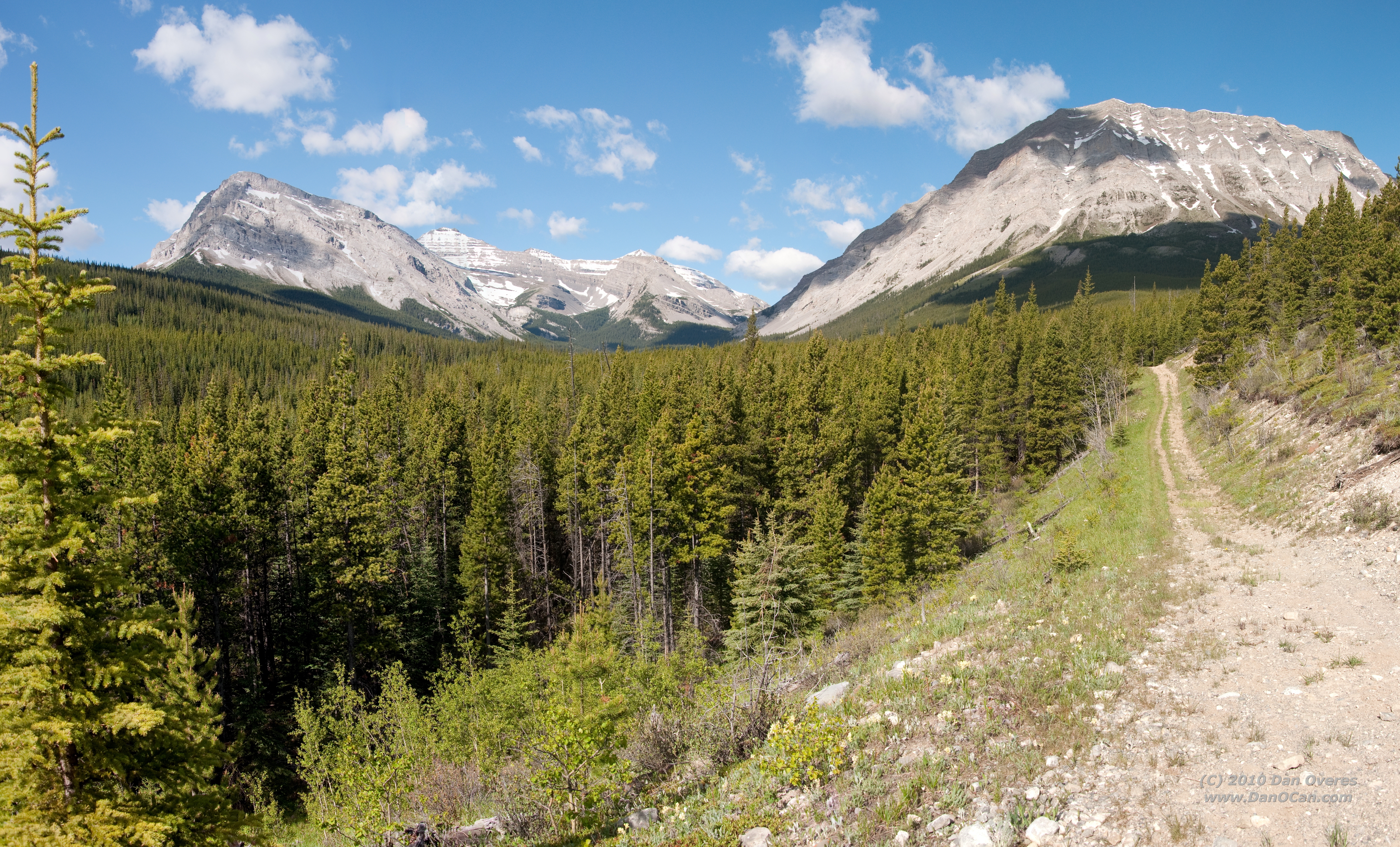
DSC_4508 Stitch
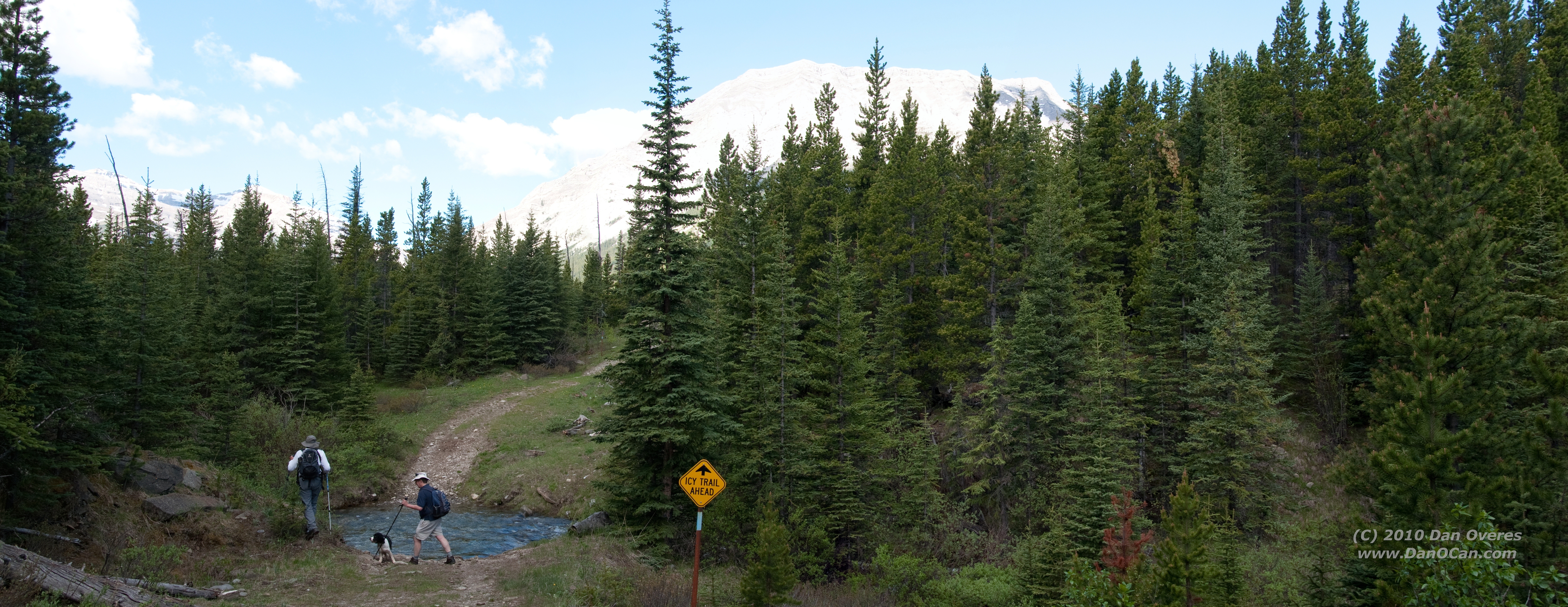
DSC_4504 Stitch

Road Flooding towards Elkford
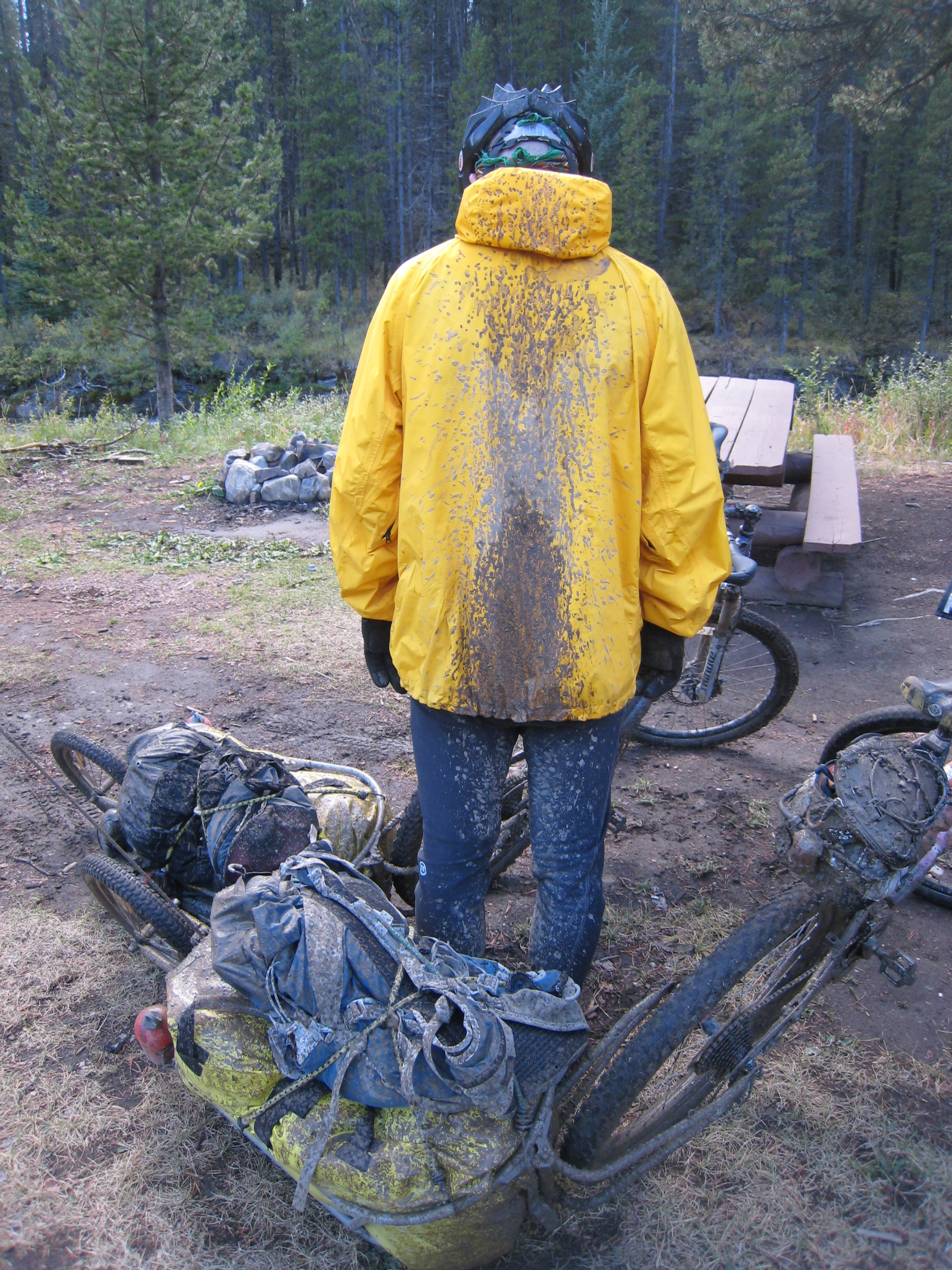
Mud, mud and more mud!
It's a dirty job...
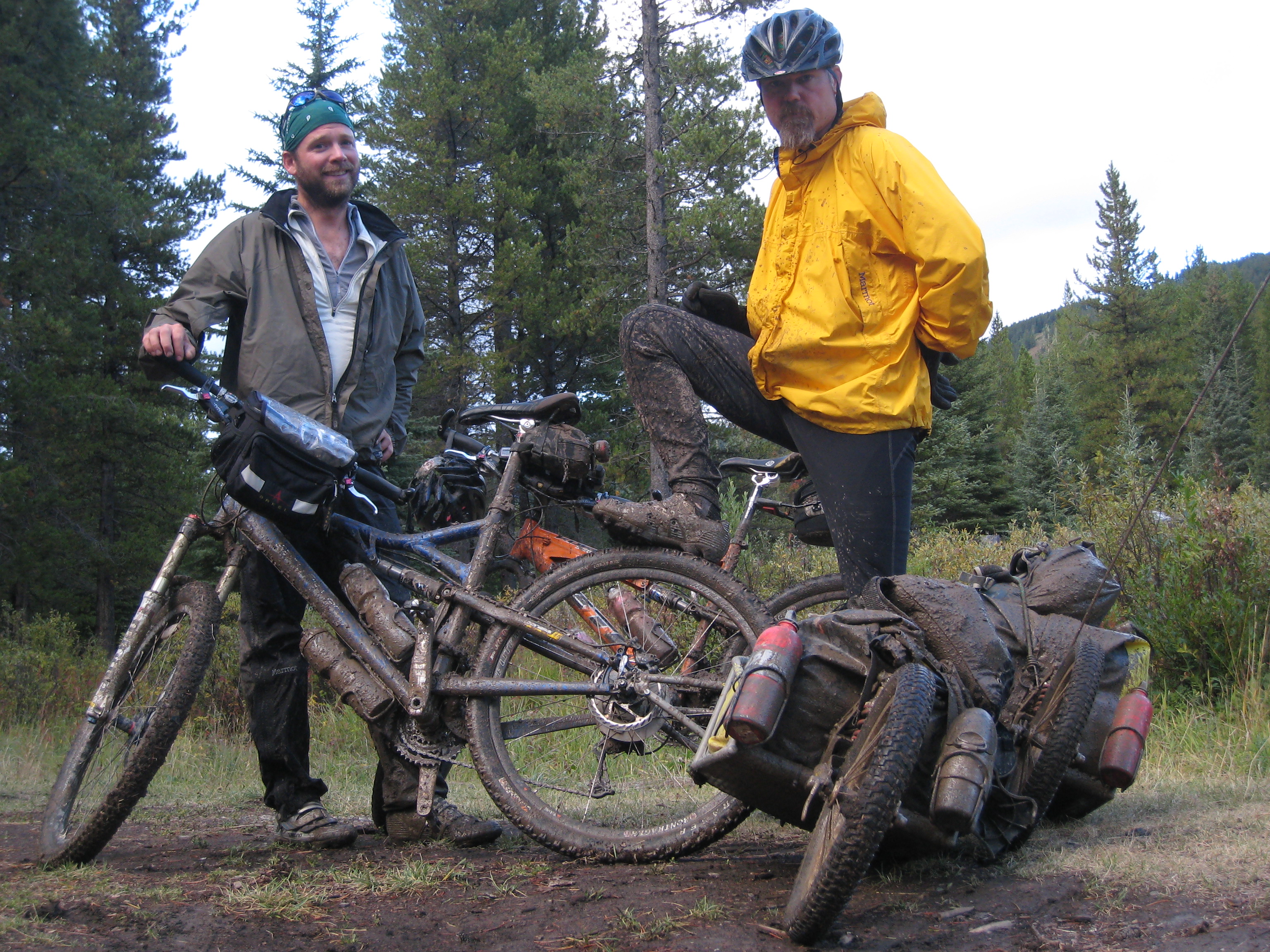
Willy pedaling on through the mud
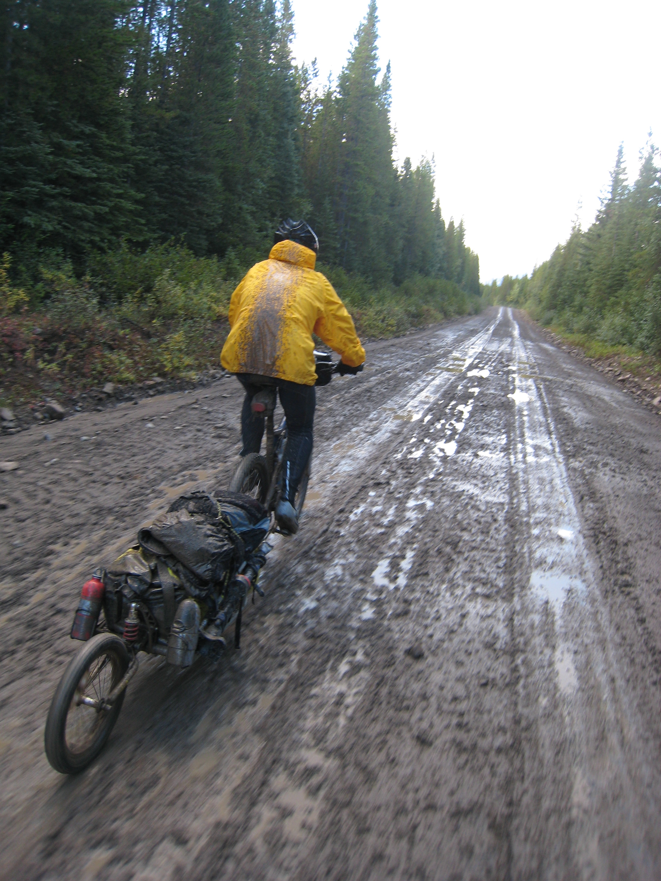
Mud!
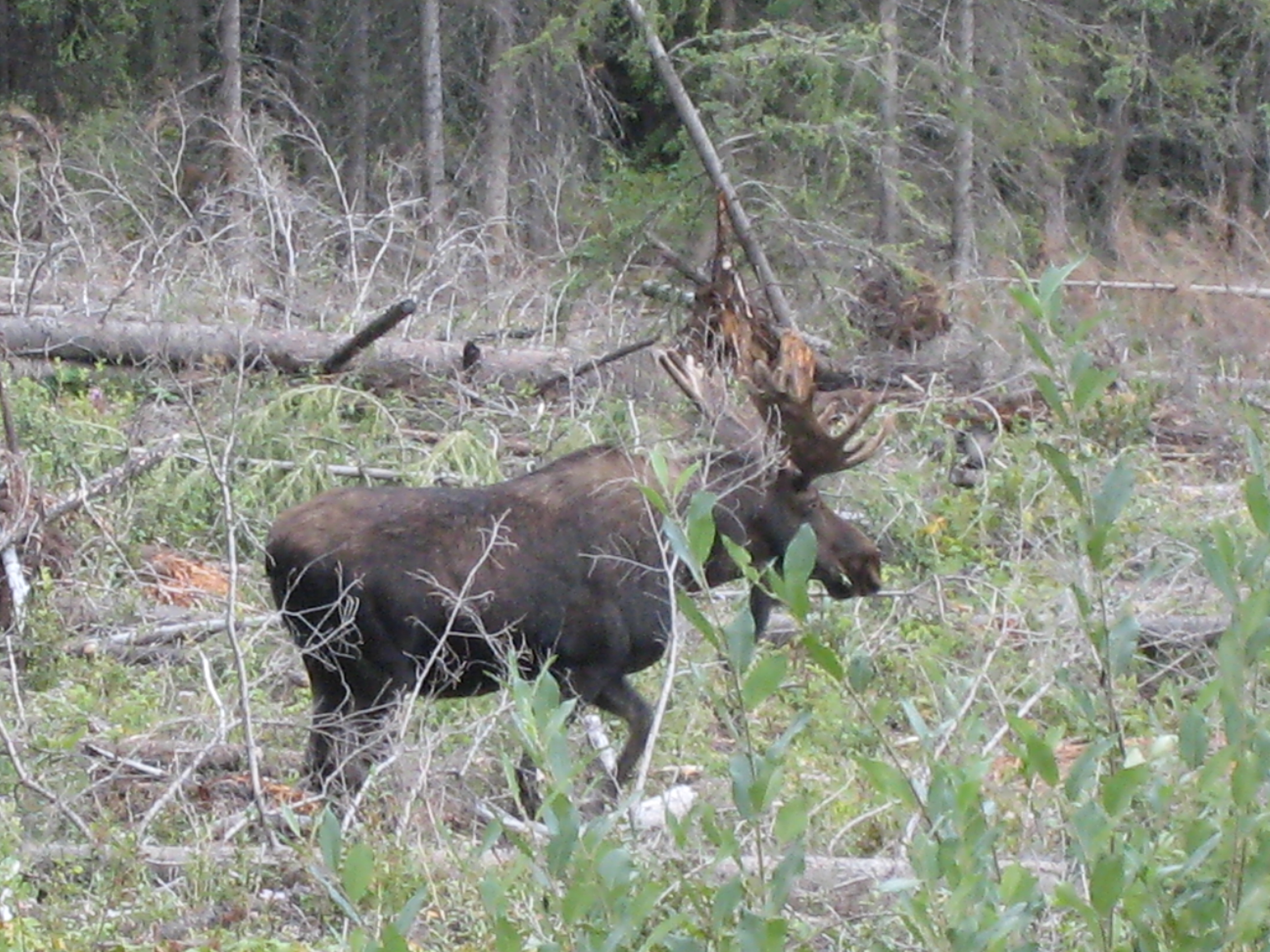
Moose eh?

ATV and truck access
Signs of access (ATV + truck)
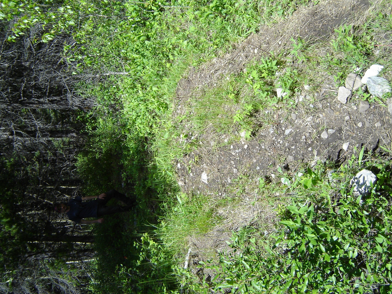
ATVs accessing Aldridge Creek

Illegal access at Aldridge
Illegal access at Aldridge Creek
DSC02941.JPG

DSC02940.JPG
Mount Tuxford, East Kootenay A, BC V0B加拿大的地图
查询其他地方的日出日落时间
附近地点
Mount Veits, East Kootenay A, BC V0B加拿大
Courcelette NW2, East Kootenay A, BC V0B加拿大
Courcelette NW3, East Kootenay A, BC V0B加拿大
Courcelette Peak, East Kootenay A, BC V0B加拿大
Gill Peak, East Kootenay A, BC V0B加拿大
Weary Ridge, East Kootenay A, BC V0B加拿大
Mount Shankland, East Kootenay A, BC V0B加拿大
Muir SW2, East Kootenay A, BC V0B加拿大
Mount Cornwell, East Kootenay A, BC V0B加拿大
Mount Maclaren, Kananaskis, AB T0L加拿大
加拿大艾伯塔省卡纳纳斯基斯斯特朗山T0L
Mount McPhail, East Kootenay A, BC V0B加拿大
Mount Etherington, East Kootenay A, BC V0B加拿大
Baril Peak, Kananaskis, AB T0L加拿大
Mount Armstrong, East Kootenay A, BC V0B加拿大
Mount Scrimger, East Kootenay A, BC V0B加拿大
Mount Bishop, Kananaskis, AB T0L加拿大
Mount Farquhar, East Kootenay A, BC V0B加拿大
Mount Pierce, East Kootenay A, BC V0B加拿大
Peak 09-48, East Kootenay A, BC V0B加拿大
最近搜索
- 台湾南投縣魚池鄉中正路23號云品温泉酒店的日出日落时间表
- -16 Kitamuraakagawa, Iwamizawa, Hokkaido -, Japan的日出日落时间表
- 55 Cassick Valley Rd, Wellfleet, MA 美国的日出日落时间表
- 日本〒- 东京都八王子市 Takaomachi高尾山口駅的日出日落时间表
- Somanouchicho, Tenri, Nara -日本的日出日落时间表
- Kota Ternate Utara, Ternate City, North Maluku, 印度尼西亚的日出日落时间表
- 台湾新北市三重區中正南路的日出日落时间表
- 刚果民主共和国卢阿拉巴河的日出日落时间表
- 西班牙奥伦塞阿波夫拉德特里韦斯的日出日落时间表
- Šodolovci, 克罗地亚的日出日落时间表