Thati Dagar, Uttarakhand 印度的日出日落時間表
Location: 印度 > 北安查尔邦 > 特里加瓦爾縣 >
時區:
Asia/Calcutta
當地時間:
2025-06-24 14:38:04
經度:
78.7008502
緯度:
30.3513932
今天日出時間:
05:14:34 AM
今天日落時間:
07:20:50 PM
今天日照時長:
14h 6m 16s
明天日出時間:
05:14:52 AM
明天日落時間:
07:20:58 PM
明天日照時長:
14h 6m 6s
顯示所有日期
| 日期 | 日出 | 日落 | 日照時長 |
|---|---|---|---|
| 2025年01月01日 | 07:11:53 AM | 05:25:54 PM | 10h 14m 1s |
| 2025年01月02日 | 07:12:06 AM | 05:26:38 PM | 10h 14m 32s |
| 2025年01月03日 | 07:12:17 AM | 05:27:22 PM | 10h 15m 5s |
| 2025年01月04日 | 07:12:27 AM | 05:28:07 PM | 10h 15m 40s |
| 2025年01月05日 | 07:12:34 AM | 05:28:52 PM | 10h 16m 18s |
| 2025年01月06日 | 07:12:41 AM | 05:29:39 PM | 10h 16m 58s |
| 2025年01月07日 | 07:12:45 AM | 05:30:26 PM | 10h 17m 41s |
| 2025年01月08日 | 07:12:48 AM | 05:31:14 PM | 10h 18m 26s |
| 2025年01月09日 | 07:12:49 AM | 05:32:02 PM | 10h 19m 13s |
| 2025年01月10日 | 07:12:49 AM | 05:32:51 PM | 10h 20m 2s |
| 2025年01月11日 | 07:12:46 AM | 05:33:41 PM | 10h 20m 55s |
| 2025年01月12日 | 07:12:42 AM | 05:34:31 PM | 10h 21m 49s |
| 2025年01月13日 | 07:12:37 AM | 05:35:21 PM | 10h 22m 44s |
| 2025年01月14日 | 07:12:30 AM | 05:36:12 PM | 10h 23m 42s |
| 2025年01月15日 | 07:12:21 AM | 05:37:04 PM | 10h 24m 43s |
| 2025年01月16日 | 07:12:10 AM | 05:37:55 PM | 10h 25m 45s |
| 2025年01月17日 | 07:11:58 AM | 05:38:47 PM | 10h 26m 49s |
| 2025年01月18日 | 07:11:44 AM | 05:39:39 PM | 10h 27m 55s |
| 2025年01月19日 | 07:11:28 AM | 05:40:31 PM | 10h 29m 3s |
| 2025年01月20日 | 07:11:11 AM | 05:41:24 PM | 10h 30m 13s |
| 2025年01月21日 | 07:10:52 AM | 05:42:17 PM | 10h 31m 25s |
| 2025年01月22日 | 07:10:31 AM | 05:43:09 PM | 10h 32m 38s |
| 2025年01月23日 | 07:10:09 AM | 05:44:02 PM | 10h 33m 53s |
| 2025年01月24日 | 07:09:45 AM | 05:44:55 PM | 10h 35m 10s |
| 2025年01月25日 | 07:09:20 AM | 05:45:48 PM | 10h 36m 28s |
| 2025年01月26日 | 07:08:53 AM | 05:46:40 PM | 10h 37m 47s |
| 2025年01月27日 | 07:08:24 AM | 05:47:33 PM | 10h 39m 9s |
| 2025年01月28日 | 07:07:54 AM | 05:48:26 PM | 10h 40m 32s |
| 2025年01月29日 | 07:07:22 AM | 05:49:18 PM | 10h 41m 56s |
| 2025年01月30日 | 07:06:49 AM | 05:50:11 PM | 10h 43m 22s |
| 2025年01月31日 | 07:06:15 AM | 05:51:03 PM | 10h 44m 48s |
| 2025年02月01日 | 07:05:39 AM | 05:51:55 PM | 10h 46m 16s |
| 2025年02月02日 | 07:05:02 AM | 05:52:47 PM | 10h 47m 45s |
| 2025年02月03日 | 07:04:23 AM | 05:53:38 PM | 10h 49m 15s |
| 2025年02月04日 | 07:03:43 AM | 05:54:30 PM | 10h 50m 47s |
| 2025年02月05日 | 07:03:01 AM | 05:55:21 PM | 10h 52m 20s |
| 2025年02月06日 | 07:02:18 AM | 05:56:12 PM | 10h 53m 54s |
| 2025年02月07日 | 07:01:34 AM | 05:57:02 PM | 10h 55m 28s |
| 2025年02月08日 | 07:00:49 AM | 05:57:53 PM | 10h 57m 4s |
| 2025年02月09日 | 07:00:02 AM | 05:58:42 PM | 10h 58m 40s |
| 2025年02月10日 | 06:59:14 AM | 05:59:32 PM | 11h 0m 18s |
| 2025年02月11日 | 06:58:25 AM | 06:00:21 PM | 11h 1m 56s |
| 2025年02月12日 | 06:57:35 AM | 06:01:10 PM | 11h 3m 35s |
| 2025年02月13日 | 06:56:43 AM | 06:01:59 PM | 11h 5m 16s |
| 2025年02月14日 | 06:55:51 AM | 06:02:47 PM | 11h 6m 56s |
| 2025年02月15日 | 06:54:57 AM | 06:03:35 PM | 11h 8m 38s |
| 2025年02月16日 | 06:54:02 AM | 06:04:22 PM | 11h 10m 20s |
| 2025年02月17日 | 06:53:06 AM | 06:05:09 PM | 11h 12m 3s |
| 2025年02月18日 | 06:52:10 AM | 06:05:56 PM | 11h 13m 46s |
| 2025年02月19日 | 06:51:12 AM | 06:06:42 PM | 11h 15m 30s |
| 2025年02月20日 | 06:50:13 AM | 06:07:28 PM | 11h 17m 15s |
| 2025年02月21日 | 06:49:14 AM | 06:08:14 PM | 11h 19m 0s |
| 2025年02月22日 | 06:48:13 AM | 06:08:59 PM | 11h 20m 46s |
| 2025年02月23日 | 06:47:12 AM | 06:09:44 PM | 11h 22m 32s |
| 2025年02月24日 | 06:46:10 AM | 06:10:28 PM | 11h 24m 18s |
| 2025年02月25日 | 06:45:07 AM | 06:11:12 PM | 11h 26m 5s |
| 2025年02月26日 | 06:44:03 AM | 06:11:56 PM | 11h 27m 53s |
| 2025年02月27日 | 06:42:59 AM | 06:12:39 PM | 11h 29m 40s |
| 2025年02月28日 | 06:41:54 AM | 06:13:22 PM | 11h 31m 28s |
| 2025年03月01日 | 06:40:48 AM | 06:14:05 PM | 11h 33m 17s |
| 2025年03月02日 | 06:39:41 AM | 06:14:47 PM | 11h 35m 6s |
| 2025年03月03日 | 06:38:34 AM | 06:15:29 PM | 11h 36m 55s |
| 2025年03月04日 | 06:37:26 AM | 06:16:11 PM | 11h 38m 45s |
| 2025年03月05日 | 06:36:18 AM | 06:16:52 PM | 11h 40m 34s |
| 2025年03月06日 | 06:35:09 AM | 06:17:33 PM | 11h 42m 24s |
| 2025年03月07日 | 06:34:00 AM | 06:18:14 PM | 11h 44m 14s |
| 2025年03月08日 | 06:32:50 AM | 06:18:54 PM | 11h 46m 4s |
| 2025年03月09日 | 06:31:40 AM | 06:19:34 PM | 11h 47m 54s |
| 2025年03月10日 | 06:30:29 AM | 06:20:14 PM | 11h 49m 45s |
| 2025年03月11日 | 06:29:18 AM | 06:20:54 PM | 11h 51m 36s |
| 2025年03月12日 | 06:28:07 AM | 06:21:33 PM | 11h 53m 26s |
| 2025年03月13日 | 06:26:55 AM | 06:22:12 PM | 11h 55m 17s |
| 2025年03月14日 | 06:25:43 AM | 06:22:51 PM | 11h 57m 8s |
| 2025年03月15日 | 06:24:31 AM | 06:23:30 PM | 11h 58m 59s |
| 2025年03月16日 | 06:23:18 AM | 06:24:08 PM | 12h 0m 50s |
| 2025年03月17日 | 06:22:06 AM | 06:24:47 PM | 12h 2m 41s |
| 2025年03月18日 | 06:20:53 AM | 06:25:25 PM | 12h 4m 32s |
| 2025年03月19日 | 06:19:40 AM | 06:26:03 PM | 12h 6m 23s |
| 2025年03月20日 | 06:18:26 AM | 06:26:41 PM | 12h 8m 15s |
| 2025年03月21日 | 06:17:13 AM | 06:27:18 PM | 12h 10m 5s |
| 2025年03月22日 | 06:16:00 AM | 06:27:56 PM | 12h 11m 56s |
| 2025年03月23日 | 06:14:46 AM | 06:28:33 PM | 12h 13m 47s |
| 2025年03月24日 | 06:13:33 AM | 06:29:11 PM | 12h 15m 38s |
| 2025年03月25日 | 06:12:19 AM | 06:29:48 PM | 12h 17m 29s |
| 2025年03月26日 | 06:11:06 AM | 06:30:25 PM | 12h 19m 19s |
| 2025年03月27日 | 06:09:52 AM | 06:31:02 PM | 12h 21m 10s |
| 2025年03月28日 | 06:08:39 AM | 06:31:39 PM | 12h 23m 0s |
| 2025年03月29日 | 06:07:26 AM | 06:32:16 PM | 12h 24m 50s |
| 2025年03月30日 | 06:06:13 AM | 06:32:53 PM | 12h 26m 40s |
| 2025年03月31日 | 06:05:00 AM | 06:33:30 PM | 12h 28m 30s |
| 2025年04月01日 | 06:03:48 AM | 06:34:07 PM | 12h 30m 19s |
| 2025年04月02日 | 06:02:35 AM | 06:34:44 PM | 12h 32m 9s |
| 2025年04月03日 | 06:01:23 AM | 06:35:21 PM | 12h 33m 58s |
| 2025年04月04日 | 06:00:11 AM | 06:35:58 PM | 12h 35m 47s |
| 2025年04月05日 | 05:59:00 AM | 06:36:35 PM | 12h 37m 35s |
| 2025年04月06日 | 05:57:49 AM | 06:37:13 PM | 12h 39m 24s |
| 2025年04月07日 | 05:56:38 AM | 06:37:50 PM | 12h 41m 12s |
| 2025年04月08日 | 05:55:28 AM | 06:38:27 PM | 12h 42m 59s |
| 2025年04月09日 | 05:54:18 AM | 06:39:04 PM | 12h 44m 46s |
| 2025年04月10日 | 05:53:08 AM | 06:39:42 PM | 12h 46m 34s |
| 2025年04月11日 | 05:51:59 AM | 06:40:19 PM | 12h 48m 20s |
| 2025年04月12日 | 05:50:51 AM | 06:40:57 PM | 12h 50m 6s |
| 2025年04月13日 | 05:49:43 AM | 06:41:34 PM | 12h 51m 51s |
| 2025年04月14日 | 05:48:35 AM | 06:42:12 PM | 12h 53m 37s |
| 2025年04月15日 | 05:47:29 AM | 06:42:50 PM | 12h 55m 21s |
| 2025年04月16日 | 05:46:22 AM | 06:43:28 PM | 12h 57m 6s |
| 2025年04月17日 | 05:45:17 AM | 06:44:06 PM | 12h 58m 49s |
| 2025年04月18日 | 05:44:12 AM | 06:44:44 PM | 13h 0m 32s |
| 2025年04月19日 | 05:43:08 AM | 06:45:22 PM | 13h 2m 14s |
| 2025年04月20日 | 05:42:04 AM | 06:46:00 PM | 13h 3m 56s |
| 2025年04月21日 | 05:41:02 AM | 06:46:39 PM | 13h 5m 37s |
| 2025年04月22日 | 05:40:00 AM | 06:47:17 PM | 13h 7m 17s |
| 2025年04月23日 | 05:38:59 AM | 06:47:56 PM | 13h 8m 57s |
| 2025年04月24日 | 05:37:58 AM | 06:48:35 PM | 13h 10m 37s |
| 2025年04月25日 | 05:36:59 AM | 06:49:14 PM | 13h 12m 15s |
| 2025年04月26日 | 05:36:00 AM | 06:49:53 PM | 13h 13m 53s |
| 2025年04月27日 | 05:35:03 AM | 06:50:32 PM | 13h 15m 29s |
| 2025年04月28日 | 05:34:06 AM | 06:51:11 PM | 13h 17m 5s |
| 2025年04月29日 | 05:33:10 AM | 06:51:50 PM | 13h 18m 40s |
| 2025年04月30日 | 05:32:16 AM | 06:52:30 PM | 13h 20m 14s |
| 2025年05月01日 | 05:31:22 AM | 06:53:09 PM | 13h 21m 47s |
| 2025年05月02日 | 05:30:29 AM | 06:53:49 PM | 13h 23m 20s |
| 2025年05月03日 | 05:29:37 AM | 06:54:28 PM | 13h 24m 51s |
| 2025年05月04日 | 05:28:47 AM | 06:55:08 PM | 13h 26m 21s |
| 2025年05月05日 | 05:27:57 AM | 06:55:47 PM | 13h 27m 50s |
| 2025年05月06日 | 05:27:09 AM | 06:56:27 PM | 13h 29m 18s |
| 2025年05月07日 | 05:26:21 AM | 06:57:07 PM | 13h 30m 46s |
| 2025年05月08日 | 05:25:35 AM | 06:57:46 PM | 13h 32m 11s |
| 2025年05月09日 | 05:24:50 AM | 06:58:26 PM | 13h 33m 36s |
| 2025年05月10日 | 05:24:06 AM | 06:59:05 PM | 13h 34m 59s |
| 2025年05月11日 | 05:23:24 AM | 06:59:45 PM | 13h 36m 21s |
| 2025年05月12日 | 05:22:42 AM | 07:00:24 PM | 13h 37m 42s |
| 2025年05月13日 | 05:22:02 AM | 07:01:03 PM | 13h 39m 1s |
| 2025年05月14日 | 05:21:23 AM | 07:01:42 PM | 13h 40m 19s |
| 2025年05月15日 | 05:20:46 AM | 07:02:21 PM | 13h 41m 35s |
| 2025年05月16日 | 05:20:10 AM | 07:03:00 PM | 13h 42m 50s |
| 2025年05月17日 | 05:19:35 AM | 07:03:38 PM | 13h 44m 3s |
| 2025年05月18日 | 05:19:01 AM | 07:04:17 PM | 13h 45m 16s |
| 2025年05月19日 | 05:18:29 AM | 07:04:55 PM | 13h 46m 26s |
| 2025年05月20日 | 05:17:58 AM | 07:05:33 PM | 13h 47m 35s |
| 2025年05月21日 | 05:17:29 AM | 07:06:10 PM | 13h 48m 41s |
| 2025年05月22日 | 05:17:01 AM | 07:06:47 PM | 13h 49m 46s |
| 2025年05月23日 | 05:16:34 AM | 07:07:24 PM | 13h 50m 50s |
| 2025年05月24日 | 05:16:08 AM | 07:08:01 PM | 13h 51m 53s |
| 2025年05月25日 | 05:15:45 AM | 07:08:37 PM | 13h 52m 52s |
| 2025年05月26日 | 05:15:22 AM | 07:09:12 PM | 13h 53m 50s |
| 2025年05月27日 | 05:15:01 AM | 07:09:47 PM | 13h 54m 46s |
| 2025年05月28日 | 05:14:41 AM | 07:10:22 PM | 13h 55m 41s |
| 2025年05月29日 | 05:14:23 AM | 07:10:56 PM | 13h 56m 33s |
| 2025年05月30日 | 05:14:06 AM | 07:11:30 PM | 13h 57m 24s |
| 2025年05月31日 | 05:13:51 AM | 07:12:02 PM | 13h 58m 11s |
| 2025年06月01日 | 05:13:37 AM | 07:12:35 PM | 13h 58m 58s |
| 2025年06月02日 | 05:13:25 AM | 07:13:06 PM | 13h 59m 41s |
| 2025年06月03日 | 05:13:14 AM | 07:13:37 PM | 14h 0m 23s |
| 2025年06月04日 | 05:13:04 AM | 07:14:08 PM | 14h 1m 4s |
| 2025年06月05日 | 05:12:56 AM | 07:14:37 PM | 14h 1m 41s |
| 2025年06月06日 | 05:12:49 AM | 07:15:06 PM | 14h 2m 17s |
| 2025年06月07日 | 05:12:44 AM | 07:15:33 PM | 14h 2m 49s |
| 2025年06月08日 | 05:12:40 AM | 07:16:00 PM | 14h 3m 20s |
| 2025年06月09日 | 05:12:37 AM | 07:16:27 PM | 14h 3m 50s |
| 2025年06月10日 | 05:12:36 AM | 07:16:52 PM | 14h 4m 16s |
| 2025年06月11日 | 05:12:36 AM | 07:17:16 PM | 14h 4m 40s |
| 2025年06月12日 | 05:12:38 AM | 07:17:39 PM | 14h 5m 1s |
| 2025年06月13日 | 05:12:41 AM | 07:18:01 PM | 14h 5m 20s |
| 2025年06月14日 | 05:12:45 AM | 07:18:23 PM | 14h 5m 38s |
| 2025年06月15日 | 05:12:50 AM | 07:18:43 PM | 14h 5m 53s |
| 2025年06月16日 | 05:12:57 AM | 07:19:02 PM | 14h 6m 5s |
| 2025年06月17日 | 05:13:05 AM | 07:19:20 PM | 14h 6m 15s |
| 2025年06月18日 | 05:13:15 AM | 07:19:36 PM | 14h 6m 21s |
| 2025年06月19日 | 05:13:25 AM | 07:19:52 PM | 14h 6m 27s |
| 2025年06月20日 | 05:13:37 AM | 07:20:06 PM | 14h 6m 29s |
| 2025年06月21日 | 05:13:50 AM | 07:20:19 PM | 14h 6m 29s |
| 2025年06月22日 | 05:14:04 AM | 07:20:31 PM | 14h 6m 27s |
| 2025年06月23日 | 05:14:20 AM | 07:20:42 PM | 14h 6m 22s |
| 2025年06月24日 | 05:14:36 AM | 07:20:51 PM | 14h 6m 15s |
| 2025年06月25日 | 05:14:54 AM | 07:20:59 PM | 14h 6m 5s |
| 2025年06月26日 | 05:15:12 AM | 07:21:06 PM | 14h 5m 54s |
| 2025年06月27日 | 05:15:32 AM | 07:21:11 PM | 14h 5m 39s |
| 2025年06月28日 | 05:15:52 AM | 07:21:15 PM | 14h 5m 23s |
| 2025年06月29日 | 05:16:14 AM | 07:21:17 PM | 14h 5m 3s |
| 2025年06月30日 | 05:16:36 AM | 07:21:19 PM | 14h 4m 43s |
| 2025年07月01日 | 05:17:00 AM | 07:21:18 PM | 14h 4m 18s |
| 2025年07月02日 | 05:17:24 AM | 07:21:17 PM | 14h 3m 53s |
| 2025年07月03日 | 05:17:49 AM | 07:21:14 PM | 14h 3m 25s |
| 2025年07月04日 | 05:18:15 AM | 07:21:09 PM | 14h 2m 54s |
| 2025年07月05日 | 05:18:42 AM | 07:21:03 PM | 14h 2m 21s |
| 2025年07月06日 | 05:19:10 AM | 07:20:55 PM | 14h 1m 45s |
| 2025年07月07日 | 05:19:38 AM | 07:20:47 PM | 14h 1m 9s |
| 2025年07月08日 | 05:20:07 AM | 07:20:36 PM | 14h 0m 29s |
| 2025年07月09日 | 05:20:37 AM | 07:20:24 PM | 13h 59m 47s |
| 2025年07月10日 | 05:21:07 AM | 07:20:11 PM | 13h 59m 4s |
| 2025年07月11日 | 05:21:38 AM | 07:19:56 PM | 13h 58m 18s |
| 2025年07月12日 | 05:22:09 AM | 07:19:40 PM | 13h 57m 31s |
| 2025年07月13日 | 05:22:41 AM | 07:19:22 PM | 13h 56m 41s |
| 2025年07月14日 | 05:23:13 AM | 07:19:03 PM | 13h 55m 50s |
| 2025年07月15日 | 05:23:46 AM | 07:18:42 PM | 13h 54m 56s |
| 2025年07月16日 | 05:24:20 AM | 07:18:20 PM | 13h 54m 0s |
| 2025年07月17日 | 05:24:53 AM | 07:17:56 PM | 13h 53m 3s |
| 2025年07月18日 | 05:25:27 AM | 07:17:31 PM | 13h 52m 4s |
| 2025年07月19日 | 05:26:02 AM | 07:17:04 PM | 13h 51m 2s |
| 2025年07月20日 | 05:26:37 AM | 07:16:37 PM | 13h 50m 0s |
| 2025年07月21日 | 05:27:12 AM | 07:16:07 PM | 13h 48m 55s |
| 2025年07月22日 | 05:27:47 AM | 07:15:36 PM | 13h 47m 49s |
| 2025年07月23日 | 05:28:23 AM | 07:15:04 PM | 13h 46m 41s |
| 2025年07月24日 | 05:28:58 AM | 07:14:31 PM | 13h 45m 33s |
| 2025年07月25日 | 05:29:34 AM | 07:13:56 PM | 13h 44m 22s |
| 2025年07月26日 | 05:30:11 AM | 07:13:19 PM | 13h 43m 8s |
| 2025年07月27日 | 05:30:47 AM | 07:12:42 PM | 13h 41m 55s |
| 2025年07月28日 | 05:31:23 AM | 07:12:03 PM | 13h 40m 40s |
| 2025年07月29日 | 05:32:00 AM | 07:11:22 PM | 13h 39m 22s |
| 2025年07月30日 | 05:32:36 AM | 07:10:41 PM | 13h 38m 5s |
| 2025年07月31日 | 05:33:13 AM | 07:09:58 PM | 13h 36m 45s |
| 2025年08月01日 | 05:33:50 AM | 07:09:14 PM | 13h 35m 24s |
| 2025年08月02日 | 05:34:26 AM | 07:08:28 PM | 13h 34m 2s |
| 2025年08月03日 | 05:35:03 AM | 07:07:42 PM | 13h 32m 39s |
| 2025年08月04日 | 05:35:40 AM | 07:06:54 PM | 13h 31m 14s |
| 2025年08月05日 | 05:36:17 AM | 07:06:05 PM | 13h 29m 48s |
| 2025年08月06日 | 05:36:53 AM | 07:05:15 PM | 13h 28m 22s |
| 2025年08月07日 | 05:37:30 AM | 07:04:24 PM | 13h 26m 54s |
| 2025年08月08日 | 05:38:06 AM | 07:03:32 PM | 13h 25m 26s |
| 2025年08月09日 | 05:38:43 AM | 07:02:38 PM | 13h 23m 55s |
| 2025年08月10日 | 05:39:19 AM | 07:01:44 PM | 13h 22m 25s |
| 2025年08月11日 | 05:39:55 AM | 07:00:48 PM | 13h 20m 53s |
| 2025年08月12日 | 05:40:31 AM | 06:59:52 PM | 13h 19m 21s |
| 2025年08月13日 | 05:41:07 AM | 06:58:54 PM | 13h 17m 47s |
| 2025年08月14日 | 05:41:43 AM | 06:57:56 PM | 13h 16m 13s |
| 2025年08月15日 | 05:42:19 AM | 06:56:56 PM | 13h 14m 37s |
| 2025年08月16日 | 05:42:55 AM | 06:55:56 PM | 13h 13m 1s |
| 2025年08月17日 | 05:43:30 AM | 06:54:55 PM | 13h 11m 25s |
| 2025年08月18日 | 05:44:05 AM | 06:53:53 PM | 13h 9m 48s |
| 2025年08月19日 | 05:44:41 AM | 06:52:50 PM | 13h 8m 9s |
| 2025年08月20日 | 05:45:16 AM | 06:51:46 PM | 13h 6m 30s |
| 2025年08月21日 | 05:45:51 AM | 06:50:41 PM | 13h 4m 50s |
| 2025年08月22日 | 05:46:25 AM | 06:49:36 PM | 13h 3m 11s |
| 2025年08月23日 | 05:47:00 AM | 06:48:30 PM | 13h 1m 30s |
| 2025年08月24日 | 05:47:35 AM | 06:47:23 PM | 12h 59m 48s |
| 2025年08月25日 | 05:48:09 AM | 06:46:16 PM | 12h 58m 7s |
| 2025年08月26日 | 05:48:43 AM | 06:45:07 PM | 12h 56m 24s |
| 2025年08月27日 | 05:49:17 AM | 06:43:59 PM | 12h 54m 42s |
| 2025年08月28日 | 05:49:51 AM | 06:42:49 PM | 12h 52m 58s |
| 2025年08月29日 | 05:50:25 AM | 06:41:39 PM | 12h 51m 14s |
| 2025年08月30日 | 05:50:59 AM | 06:40:29 PM | 12h 49m 30s |
| 2025年08月31日 | 05:51:32 AM | 06:39:18 PM | 12h 47m 46s |
| 2025年09月01日 | 05:52:06 AM | 06:38:06 PM | 12h 46m 0s |
| 2025年09月02日 | 05:52:39 AM | 06:36:54 PM | 12h 44m 15s |
| 2025年09月03日 | 05:53:12 AM | 06:35:42 PM | 12h 42m 30s |
| 2025年09月04日 | 05:53:45 AM | 06:34:29 PM | 12h 40m 44s |
| 2025年09月05日 | 05:54:19 AM | 06:33:15 PM | 12h 38m 56s |
| 2025年09月06日 | 05:54:52 AM | 06:32:02 PM | 12h 37m 10s |
| 2025年09月07日 | 05:55:25 AM | 06:30:48 PM | 12h 35m 23s |
| 2025年09月08日 | 05:55:58 AM | 06:29:33 PM | 12h 33m 35s |
| 2025年09月09日 | 05:56:30 AM | 06:28:19 PM | 12h 31m 49s |
| 2025年09月10日 | 05:57:03 AM | 06:27:04 PM | 12h 30m 1s |
| 2025年09月11日 | 05:57:36 AM | 06:25:49 PM | 12h 28m 13s |
| 2025年09月12日 | 05:58:09 AM | 06:24:34 PM | 12h 26m 25s |
| 2025年09月13日 | 05:58:42 AM | 06:23:18 PM | 12h 24m 36s |
| 2025年09月14日 | 05:59:15 AM | 06:22:02 PM | 12h 22m 47s |
| 2025年09月15日 | 05:59:48 AM | 06:20:47 PM | 12h 20m 59s |
| 2025年09月16日 | 06:00:21 AM | 06:19:31 PM | 12h 19m 10s |
| 2025年09月17日 | 06:00:54 AM | 06:18:15 PM | 12h 17m 21s |
| 2025年09月18日 | 06:01:27 AM | 06:16:59 PM | 12h 15m 32s |
| 2025年09月19日 | 06:02:00 AM | 06:15:43 PM | 12h 13m 43s |
| 2025年09月20日 | 06:02:33 AM | 06:14:27 PM | 12h 11m 54s |
| 2025年09月21日 | 06:03:07 AM | 06:13:11 PM | 12h 10m 4s |
| 2025年09月22日 | 06:03:40 AM | 06:11:55 PM | 12h 8m 15s |
| 2025年09月23日 | 06:04:14 AM | 06:10:40 PM | 12h 6m 26s |
| 2025年09月24日 | 06:04:47 AM | 06:09:24 PM | 12h 4m 37s |
| 2025年09月25日 | 06:05:21 AM | 06:08:08 PM | 12h 2m 47s |
| 2025年09月26日 | 06:05:55 AM | 06:06:53 PM | 12h 0m 58s |
| 2025年09月27日 | 06:06:30 AM | 06:05:38 PM | 11h 59m 8s |
| 2025年09月28日 | 06:07:04 AM | 06:04:23 PM | 11h 57m 19s |
| 2025年09月29日 | 06:07:39 AM | 06:03:09 PM | 11h 55m 30s |
| 2025年09月30日 | 06:08:14 AM | 06:01:54 PM | 11h 53m 40s |
| 2025年10月01日 | 06:08:49 AM | 06:00:40 PM | 11h 51m 51s |
| 2025年10月02日 | 06:09:24 AM | 05:59:27 PM | 11h 50m 3s |
| 2025年10月03日 | 06:10:00 AM | 05:58:14 PM | 11h 48m 14s |
| 2025年10月04日 | 06:10:36 AM | 05:57:01 PM | 11h 46m 25s |
| 2025年10月05日 | 06:11:12 AM | 05:55:48 PM | 11h 44m 36s |
| 2025年10月06日 | 06:11:49 AM | 05:54:37 PM | 11h 42m 48s |
| 2025年10月07日 | 06:12:25 AM | 05:53:25 PM | 11h 41m 0s |
| 2025年10月08日 | 06:13:03 AM | 05:52:14 PM | 11h 39m 11s |
| 2025年10月09日 | 06:13:40 AM | 05:51:04 PM | 11h 37m 24s |
| 2025年10月10日 | 06:14:18 AM | 05:49:54 PM | 11h 35m 36s |
| 2025年10月11日 | 06:14:56 AM | 05:48:45 PM | 11h 33m 49s |
| 2025年10月12日 | 06:15:34 AM | 05:47:37 PM | 11h 32m 3s |
| 2025年10月13日 | 06:16:13 AM | 05:46:29 PM | 11h 30m 16s |
| 2025年10月14日 | 06:16:53 AM | 05:45:22 PM | 11h 28m 29s |
| 2025年10月15日 | 06:17:32 AM | 05:44:15 PM | 11h 26m 43s |
| 2025年10月16日 | 06:18:12 AM | 05:43:10 PM | 11h 24m 58s |
| 2025年10月17日 | 06:18:52 AM | 05:42:05 PM | 11h 23m 13s |
| 2025年10月18日 | 06:19:33 AM | 05:41:01 PM | 11h 21m 28s |
| 2025年10月19日 | 06:20:14 AM | 05:39:57 PM | 11h 19m 43s |
| 2025年10月20日 | 06:20:56 AM | 05:38:55 PM | 11h 17m 59s |
| 2025年10月21日 | 06:21:38 AM | 05:37:54 PM | 11h 16m 16s |
| 2025年10月22日 | 06:22:20 AM | 05:36:53 PM | 11h 14m 33s |
| 2025年10月23日 | 06:23:03 AM | 05:35:53 PM | 11h 12m 50s |
| 2025年10月24日 | 06:23:46 AM | 05:34:55 PM | 11h 11m 9s |
| 2025年10月25日 | 06:24:30 AM | 05:33:57 PM | 11h 9m 27s |
| 2025年10月26日 | 06:25:14 AM | 05:33:01 PM | 11h 7m 47s |
| 2025年10月27日 | 06:25:58 AM | 05:32:05 PM | 11h 6m 7s |
| 2025年10月28日 | 06:26:43 AM | 05:31:11 PM | 11h 4m 28s |
| 2025年10月29日 | 06:27:28 AM | 05:30:18 PM | 11h 2m 50s |
| 2025年10月30日 | 06:28:14 AM | 05:29:26 PM | 11h 1m 12s |
| 2025年10月31日 | 06:29:00 AM | 05:28:35 PM | 10h 59m 35s |
| 2025年11月01日 | 06:29:46 AM | 05:27:45 PM | 10h 57m 59s |
| 2025年11月02日 | 06:30:33 AM | 05:26:57 PM | 10h 56m 24s |
| 2025年11月03日 | 06:31:20 AM | 05:26:10 PM | 10h 54m 50s |
| 2025年11月04日 | 06:32:07 AM | 05:25:24 PM | 10h 53m 17s |
| 2025年11月05日 | 06:32:55 AM | 05:24:39 PM | 10h 51m 44s |
| 2025年11月06日 | 06:33:43 AM | 05:23:56 PM | 10h 50m 13s |
| 2025年11月07日 | 06:34:31 AM | 05:23:14 PM | 10h 48m 43s |
| 2025年11月08日 | 06:35:20 AM | 05:22:34 PM | 10h 47m 14s |
| 2025年11月09日 | 06:36:09 AM | 05:21:55 PM | 10h 45m 46s |
| 2025年11月10日 | 06:36:58 AM | 05:21:18 PM | 10h 44m 20s |
| 2025年11月11日 | 06:37:47 AM | 05:20:41 PM | 10h 42m 54s |
| 2025年11月12日 | 06:38:37 AM | 05:20:07 PM | 10h 41m 30s |
| 2025年11月13日 | 06:39:27 AM | 05:19:34 PM | 10h 40m 7s |
| 2025年11月14日 | 06:40:17 AM | 05:19:02 PM | 10h 38m 45s |
| 2025年11月15日 | 06:41:07 AM | 05:18:32 PM | 10h 37m 25s |
| 2025年11月16日 | 06:41:57 AM | 05:18:04 PM | 10h 36m 7s |
| 2025年11月17日 | 06:42:47 AM | 05:17:37 PM | 10h 34m 50s |
| 2025年11月18日 | 06:43:38 AM | 05:17:12 PM | 10h 33m 34s |
| 2025年11月19日 | 06:44:28 AM | 05:16:48 PM | 10h 32m 20s |
| 2025年11月20日 | 06:45:18 AM | 05:16:26 PM | 10h 31m 8s |
| 2025年11月21日 | 06:46:09 AM | 05:16:06 PM | 10h 29m 57s |
| 2025年11月22日 | 06:46:59 AM | 05:15:47 PM | 10h 28m 48s |
| 2025年11月23日 | 06:47:49 AM | 05:15:30 PM | 10h 27m 41s |
| 2025年11月24日 | 06:48:39 AM | 05:15:15 PM | 10h 26m 36s |
| 2025年11月25日 | 06:49:29 AM | 05:15:02 PM | 10h 25m 33s |
| 2025年11月26日 | 06:50:19 AM | 05:14:50 PM | 10h 24m 31s |
| 2025年11月27日 | 06:51:08 AM | 05:14:40 PM | 10h 23m 32s |
| 2025年11月28日 | 06:51:57 AM | 05:14:31 PM | 10h 22m 34s |
| 2025年11月29日 | 06:52:46 AM | 05:14:25 PM | 10h 21m 39s |
| 2025年11月30日 | 06:53:34 AM | 05:14:20 PM | 10h 20m 46s |
| 2025年12月01日 | 06:54:22 AM | 05:14:16 PM | 10h 19m 54s |
| 2025年12月02日 | 06:55:09 AM | 05:14:15 PM | 10h 19m 6s |
| 2025年12月03日 | 06:55:56 AM | 05:14:15 PM | 10h 18m 19s |
| 2025年12月04日 | 06:56:43 AM | 05:14:17 PM | 10h 17m 34s |
| 2025年12月05日 | 06:57:29 AM | 05:14:21 PM | 10h 16m 52s |
| 2025年12月06日 | 06:58:14 AM | 05:14:26 PM | 10h 16m 12s |
| 2025年12月07日 | 06:58:58 AM | 05:14:33 PM | 10h 15m 35s |
| 2025年12月08日 | 06:59:42 AM | 05:14:42 PM | 10h 15m 0s |
| 2025年12月09日 | 07:00:25 AM | 05:14:52 PM | 10h 14m 27s |
| 2025年12月10日 | 07:01:07 AM | 05:15:05 PM | 10h 13m 58s |
| 2025年12月11日 | 07:01:49 AM | 05:15:18 PM | 10h 13m 29s |
| 2025年12月12日 | 07:02:29 AM | 05:15:34 PM | 10h 13m 5s |
| 2025年12月13日 | 07:03:09 AM | 05:15:51 PM | 10h 12m 42s |
| 2025年12月14日 | 07:03:47 AM | 05:16:09 PM | 10h 12m 22s |
| 2025年12月15日 | 07:04:25 AM | 05:16:30 PM | 10h 12m 5s |
| 2025年12月16日 | 07:05:01 AM | 05:16:51 PM | 10h 11m 50s |
| 2025年12月17日 | 07:05:37 AM | 05:17:15 PM | 10h 11m 38s |
| 2025年12月18日 | 07:06:11 AM | 05:17:39 PM | 10h 11m 28s |
| 2025年12月19日 | 07:06:44 AM | 05:18:06 PM | 10h 11m 22s |
| 2025年12月20日 | 07:07:16 AM | 05:18:33 PM | 10h 11m 17s |
| 2025年12月21日 | 07:07:46 AM | 05:19:02 PM | 10h 11m 16s |
| 2025年12月22日 | 07:08:15 AM | 05:19:33 PM | 10h 11m 18s |
| 2025年12月23日 | 07:08:43 AM | 05:20:04 PM | 10h 11m 21s |
| 2025年12月24日 | 07:09:10 AM | 05:20:37 PM | 10h 11m 27s |
| 2025年12月25日 | 07:09:35 AM | 05:21:12 PM | 10h 11m 37s |
| 2025年12月26日 | 07:09:59 AM | 05:21:47 PM | 10h 11m 48s |
| 2025年12月27日 | 07:10:21 AM | 05:22:24 PM | 10h 12m 3s |
| 2025年12月28日 | 07:10:42 AM | 05:23:02 PM | 10h 12m 20s |
| 2025年12月29日 | 07:11:01 AM | 05:23:41 PM | 10h 12m 40s |
| 2025年12月30日 | 07:11:19 AM | 05:24:21 PM | 10h 13m 2s |
| 2025年12月31日 | 07:11:35 AM | 05:25:02 PM | 10h 13m 27s |
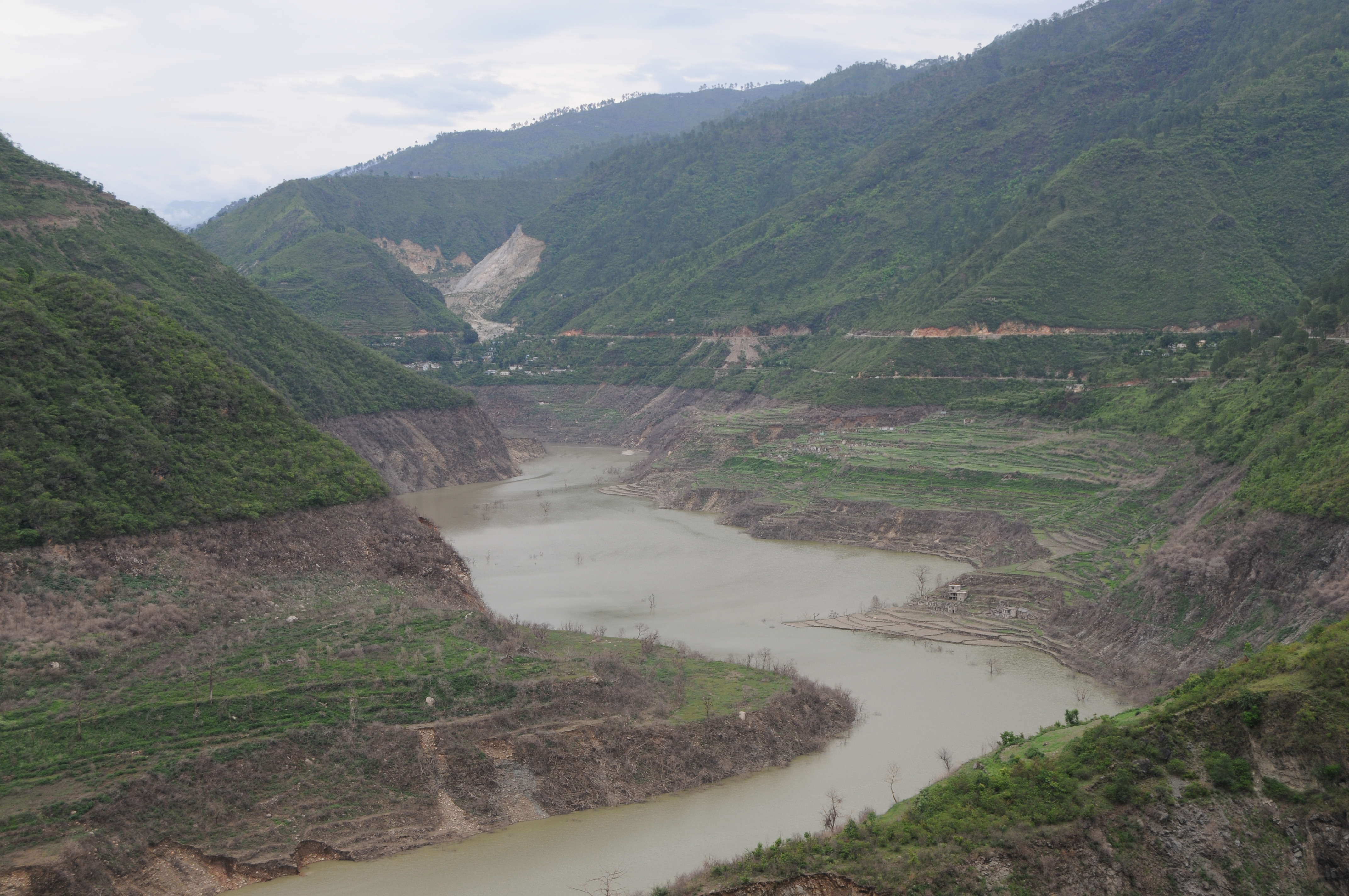
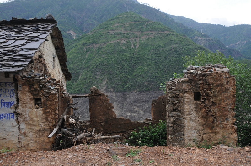
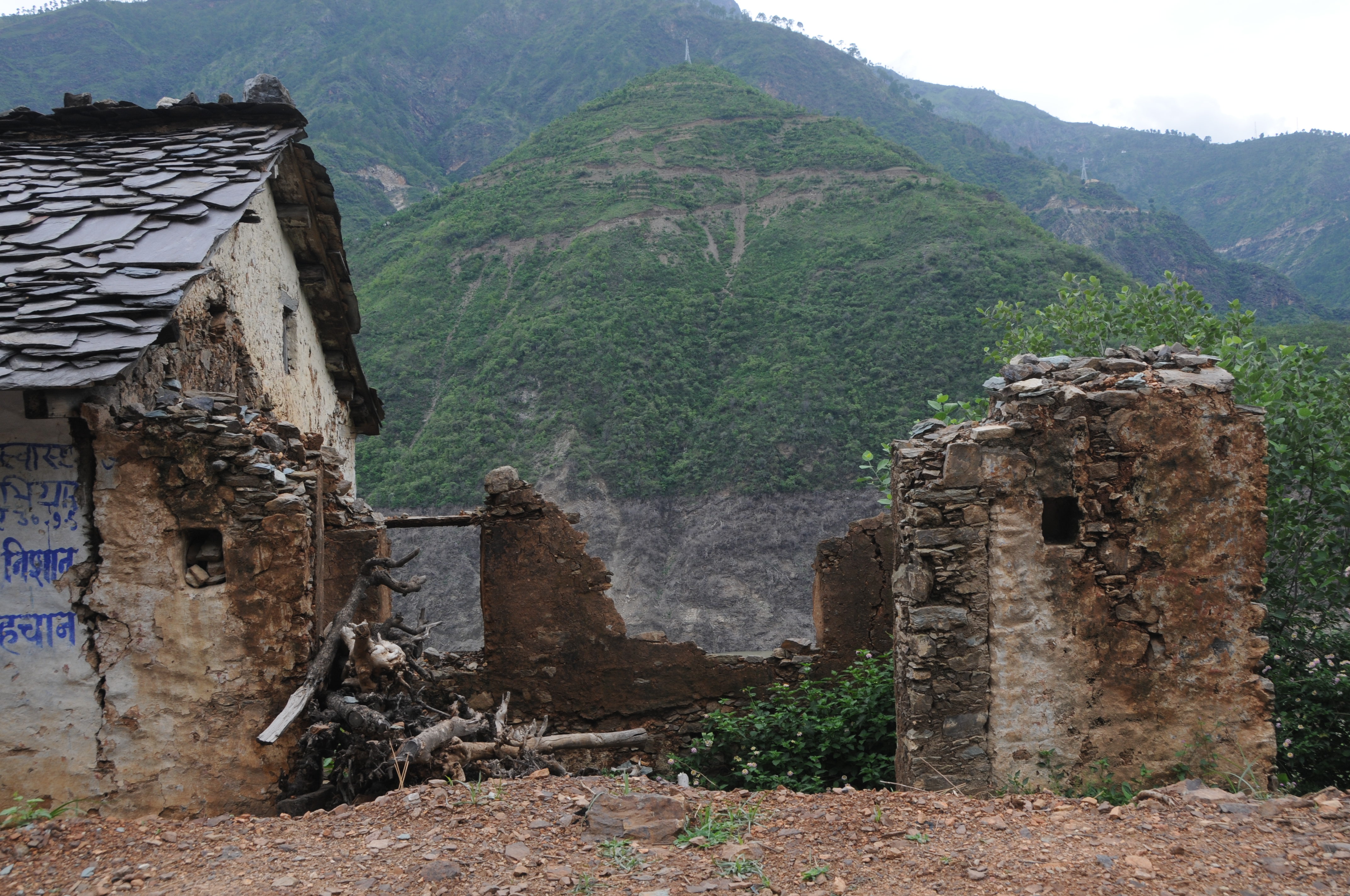
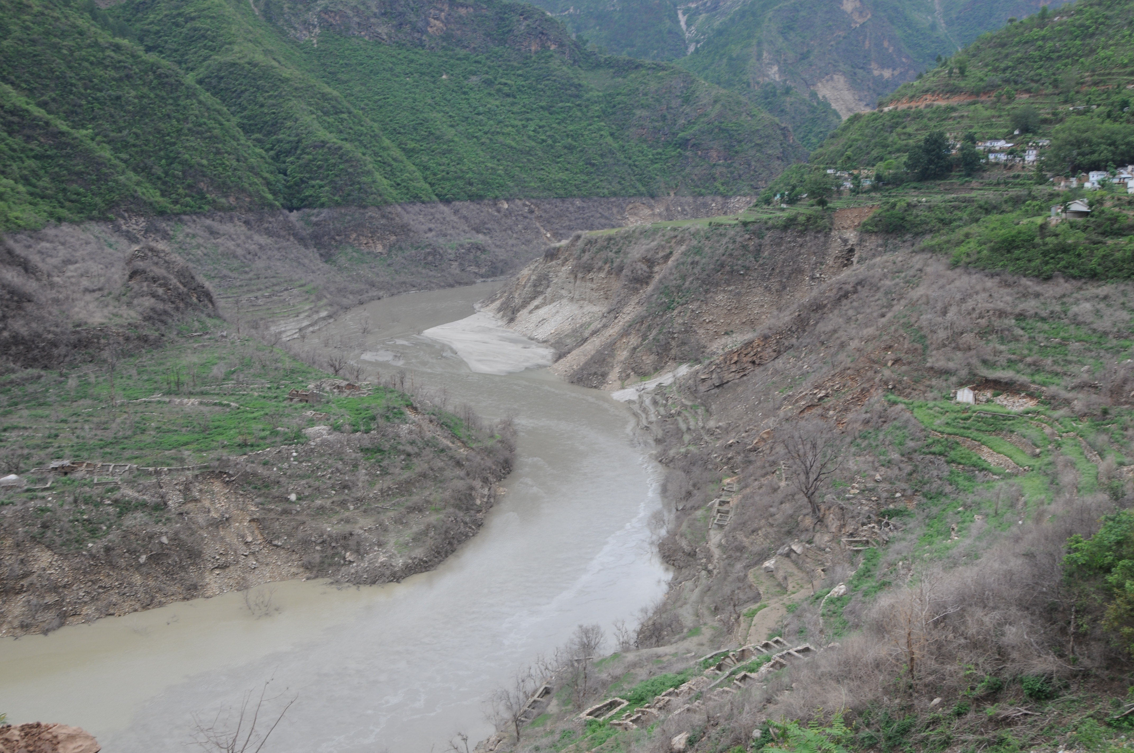
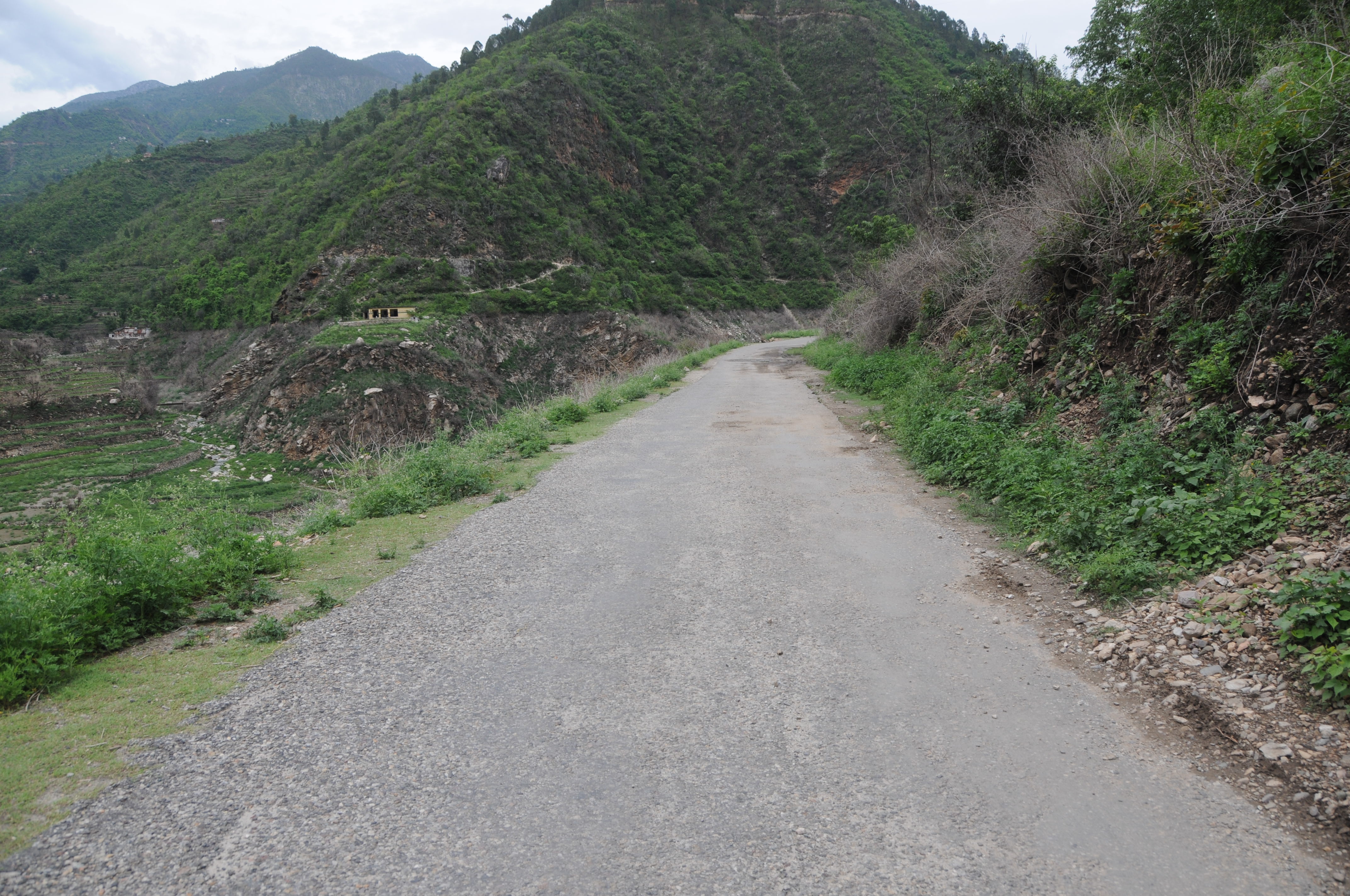
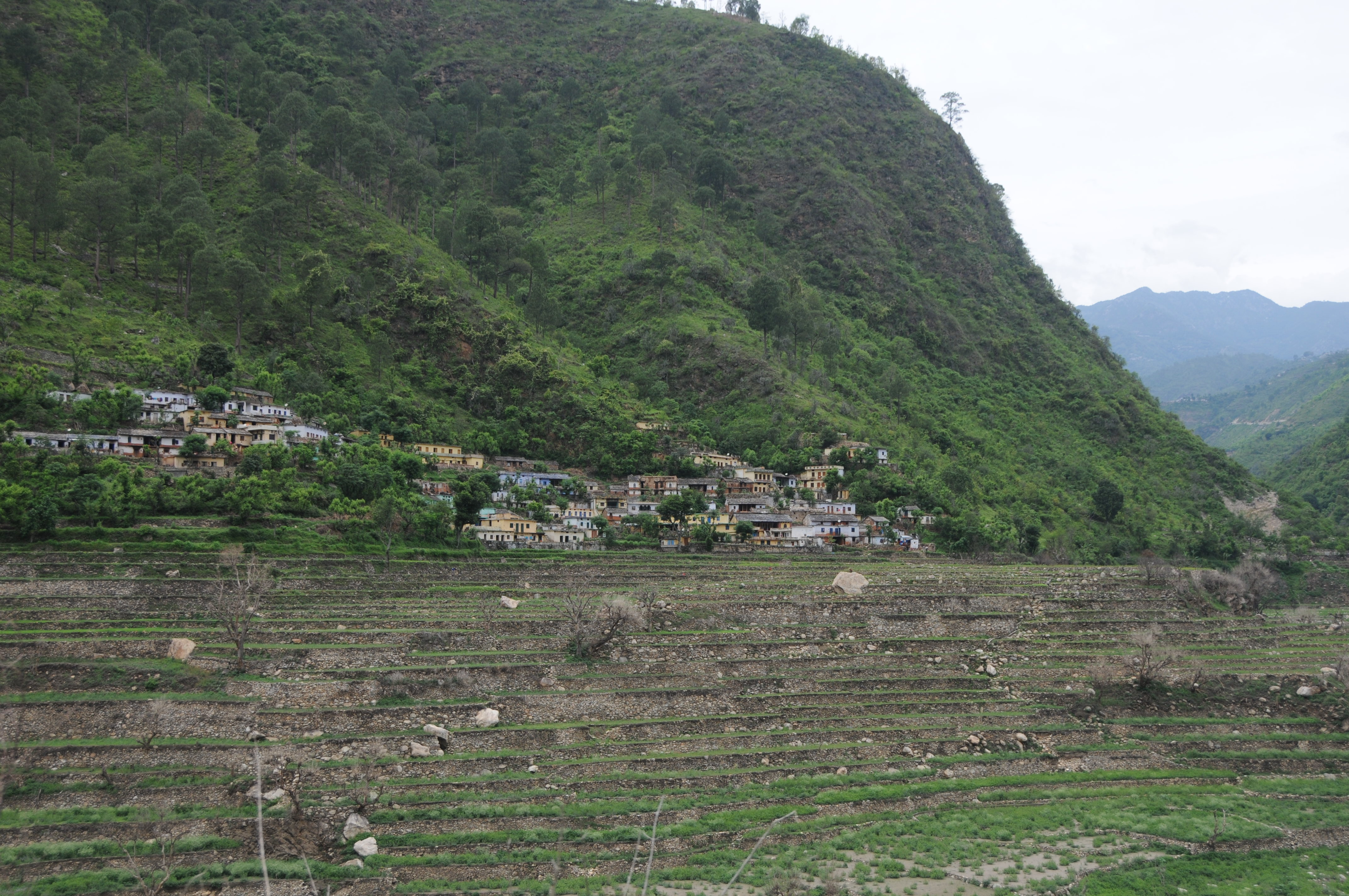
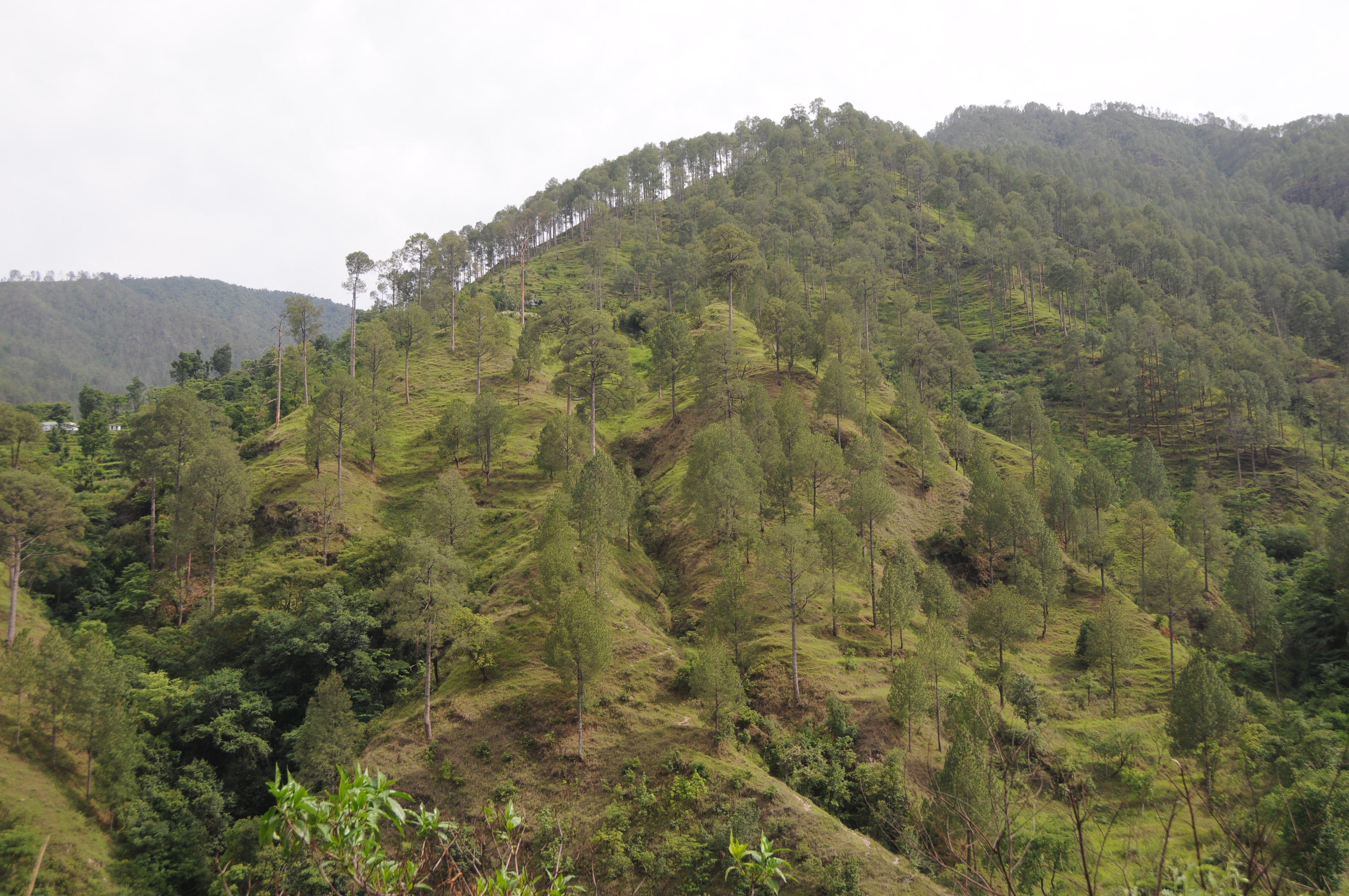
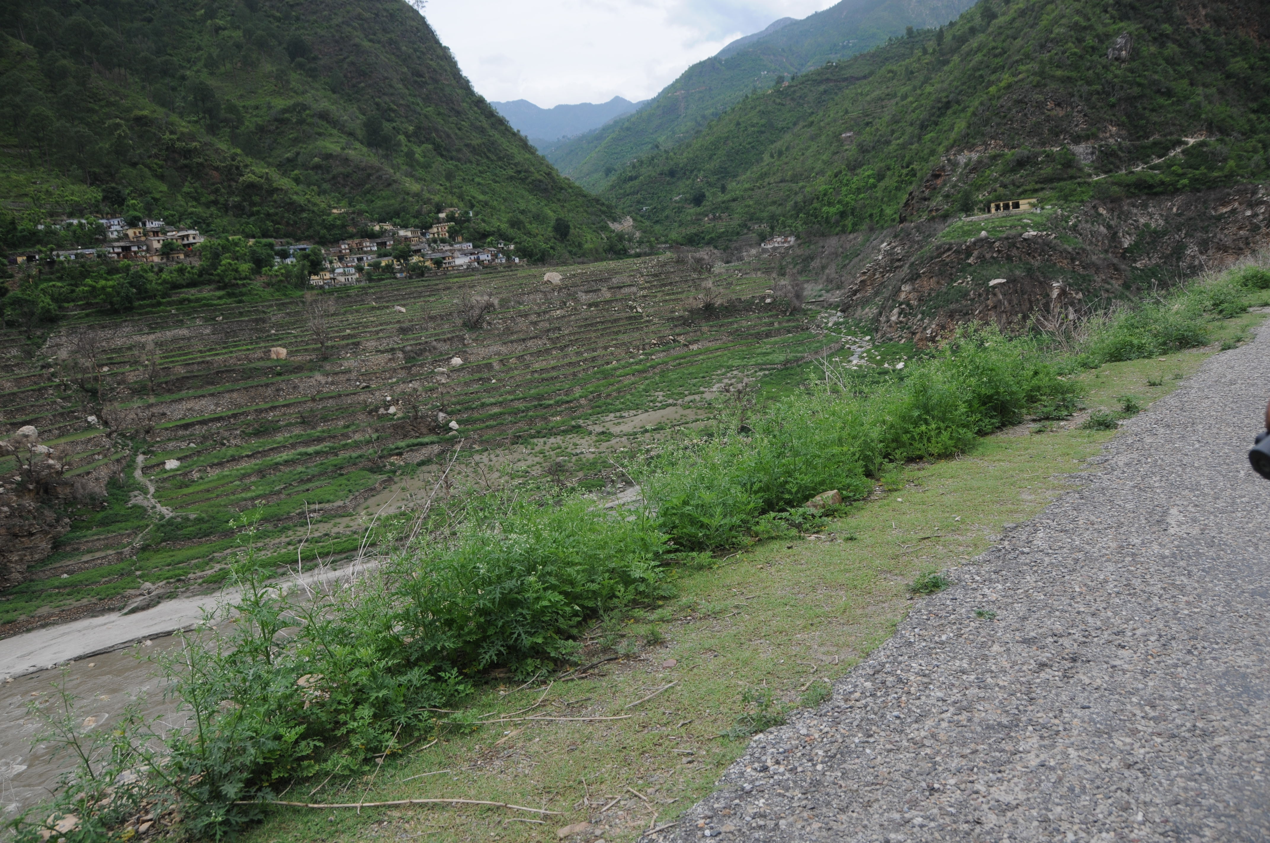
日出日落照片
CSP_2905.JPG
Chahgadoliya, UttaraKhand
CSP_2912.JPG

Khand, UttaraKhand

CSP_2946.JPG
CSP_2915.JPG
Ghotiwali, Uttarakhand

CSP_2934.JPG
CSP_2904.JPG

CSP_2933.JPG
Ghotiwali, Uttarakhand
Molno Maya Paukhal, UttaraKhand

CSP_2940.JPG

CSP_2925.JPG
CSP_2928.JPG
CSP_2929.JPG
CSP_2945.JPG
CSP_2927.JPG
Thati Dagar, Uttarakhand 印度的地圖
搜索其他地方的日出日落時間
附近地點
Chandrabadni Track, Jhanau, Uttarakhand 印度Chandrabadni Mata Temple
Jhanau, Uttarakhand, 印度
Phalasi, Uttarakhand 印度
Anjanisain, Uttarakhand 印度
Musankiri, Uttarakhand 印度
北阿坎德邦巴希蘭格納河
印度北安查尔邦特里加瓦爾縣
Hindolakhal, Uttarakhand 印度
Palethi, Uttarakhand, 印度
Jakhnidhar, Uttarakhand 印度
Tipri, Uttarakhand, 印度
Ranakot, Uttarakhand 印度
Sakanyani, Uttarakhand, 印度
Ranakot, Palkot, Uttarakhand 印度Ranakot Market
Tehri Dam, Uttarakhand 印度
Bhigun, Uttarakhand 印度
印度北安查尔邦德沃普拉耶格
印度烏塔蘭恰爾邦杰莫利
印度北安查尔邦特赫里
北安查尔邦 印度
最近搜索
- Red Dog Mine, AK, USA的日出日落時間表
- Am bhf, Borken, 德國Am Bahnhof的日出日落時間表
- 4th St E, Sonoma, CA 美國的日出日落時間表
- Oakland Ave, Williamsport, PA 美國的日出日落時間表
- Via Roma, Pieranica CR, 義大利的日出日落時間表
- 克羅埃西亞杜布羅夫尼克 GradClock Tower of Dubrovnik的日出日落時間表
- 阿根廷丘布特省特雷利烏的日出日落時間表
- Hartfords Bluff Cir, Mt Pleasant, SC 美國的日出日落時間表
- 日本熊本縣熊本市北區的日出日落時間表
- 中國福州市平潭縣平潭島的日出日落時間表