Sunrise Sunset Times of Thati Dagar, Uttarakhand, India
Location: India > Uttarakhand > Tehri Garhwal >
Timezone:
Asia/Calcutta
Current Time:
2025-06-23 15:29:03
Longitude:
78.7008502
Latitude:
30.3513932
Sunrise Today:
05:14:18 AM
Sunset Today:
07:20:41 PM
Daylength Today:
14h 6m 23s
Sunrise Tomorrow:
05:14:34 AM
Sunset Tomorrow:
07:20:50 PM
Daylength Tomorrow:
14h 6m 16s
Year Show All Dates
| Date | Sunrise | Sunset | Daylength |
|---|---|---|---|
| 01/01/2025 | 07:11:53 AM | 05:25:54 PM | 10h 14m 1s |
| 01/02/2025 | 07:12:06 AM | 05:26:38 PM | 10h 14m 32s |
| 01/03/2025 | 07:12:17 AM | 05:27:22 PM | 10h 15m 5s |
| 01/04/2025 | 07:12:27 AM | 05:28:07 PM | 10h 15m 40s |
| 01/05/2025 | 07:12:34 AM | 05:28:52 PM | 10h 16m 18s |
| 01/06/2025 | 07:12:41 AM | 05:29:39 PM | 10h 16m 58s |
| 01/07/2025 | 07:12:45 AM | 05:30:26 PM | 10h 17m 41s |
| 01/08/2025 | 07:12:48 AM | 05:31:14 PM | 10h 18m 26s |
| 01/09/2025 | 07:12:49 AM | 05:32:02 PM | 10h 19m 13s |
| 01/10/2025 | 07:12:49 AM | 05:32:51 PM | 10h 20m 2s |
| 01/11/2025 | 07:12:46 AM | 05:33:41 PM | 10h 20m 55s |
| 01/12/2025 | 07:12:42 AM | 05:34:31 PM | 10h 21m 49s |
| 01/13/2025 | 07:12:37 AM | 05:35:21 PM | 10h 22m 44s |
| 01/14/2025 | 07:12:30 AM | 05:36:12 PM | 10h 23m 42s |
| 01/15/2025 | 07:12:21 AM | 05:37:04 PM | 10h 24m 43s |
| 01/16/2025 | 07:12:10 AM | 05:37:55 PM | 10h 25m 45s |
| 01/17/2025 | 07:11:58 AM | 05:38:47 PM | 10h 26m 49s |
| 01/18/2025 | 07:11:44 AM | 05:39:39 PM | 10h 27m 55s |
| 01/19/2025 | 07:11:28 AM | 05:40:31 PM | 10h 29m 3s |
| 01/20/2025 | 07:11:11 AM | 05:41:24 PM | 10h 30m 13s |
| 01/21/2025 | 07:10:52 AM | 05:42:17 PM | 10h 31m 25s |
| 01/22/2025 | 07:10:31 AM | 05:43:09 PM | 10h 32m 38s |
| 01/23/2025 | 07:10:09 AM | 05:44:02 PM | 10h 33m 53s |
| 01/24/2025 | 07:09:45 AM | 05:44:55 PM | 10h 35m 10s |
| 01/25/2025 | 07:09:20 AM | 05:45:48 PM | 10h 36m 28s |
| 01/26/2025 | 07:08:53 AM | 05:46:40 PM | 10h 37m 47s |
| 01/27/2025 | 07:08:24 AM | 05:47:33 PM | 10h 39m 9s |
| 01/28/2025 | 07:07:54 AM | 05:48:26 PM | 10h 40m 32s |
| 01/29/2025 | 07:07:22 AM | 05:49:18 PM | 10h 41m 56s |
| 01/30/2025 | 07:06:49 AM | 05:50:11 PM | 10h 43m 22s |
| 01/31/2025 | 07:06:15 AM | 05:51:03 PM | 10h 44m 48s |
| 02/01/2025 | 07:05:39 AM | 05:51:55 PM | 10h 46m 16s |
| 02/02/2025 | 07:05:02 AM | 05:52:47 PM | 10h 47m 45s |
| 02/03/2025 | 07:04:23 AM | 05:53:38 PM | 10h 49m 15s |
| 02/04/2025 | 07:03:43 AM | 05:54:30 PM | 10h 50m 47s |
| 02/05/2025 | 07:03:01 AM | 05:55:21 PM | 10h 52m 20s |
| 02/06/2025 | 07:02:18 AM | 05:56:12 PM | 10h 53m 54s |
| 02/07/2025 | 07:01:34 AM | 05:57:02 PM | 10h 55m 28s |
| 02/08/2025 | 07:00:49 AM | 05:57:53 PM | 10h 57m 4s |
| 02/09/2025 | 07:00:02 AM | 05:58:42 PM | 10h 58m 40s |
| 02/10/2025 | 06:59:14 AM | 05:59:32 PM | 11h 0m 18s |
| 02/11/2025 | 06:58:25 AM | 06:00:21 PM | 11h 1m 56s |
| 02/12/2025 | 06:57:35 AM | 06:01:10 PM | 11h 3m 35s |
| 02/13/2025 | 06:56:43 AM | 06:01:59 PM | 11h 5m 16s |
| 02/14/2025 | 06:55:51 AM | 06:02:47 PM | 11h 6m 56s |
| 02/15/2025 | 06:54:57 AM | 06:03:35 PM | 11h 8m 38s |
| 02/16/2025 | 06:54:02 AM | 06:04:22 PM | 11h 10m 20s |
| 02/17/2025 | 06:53:06 AM | 06:05:09 PM | 11h 12m 3s |
| 02/18/2025 | 06:52:10 AM | 06:05:56 PM | 11h 13m 46s |
| 02/19/2025 | 06:51:12 AM | 06:06:42 PM | 11h 15m 30s |
| 02/20/2025 | 06:50:13 AM | 06:07:28 PM | 11h 17m 15s |
| 02/21/2025 | 06:49:14 AM | 06:08:14 PM | 11h 19m 0s |
| 02/22/2025 | 06:48:13 AM | 06:08:59 PM | 11h 20m 46s |
| 02/23/2025 | 06:47:12 AM | 06:09:44 PM | 11h 22m 32s |
| 02/24/2025 | 06:46:10 AM | 06:10:28 PM | 11h 24m 18s |
| 02/25/2025 | 06:45:07 AM | 06:11:12 PM | 11h 26m 5s |
| 02/26/2025 | 06:44:03 AM | 06:11:56 PM | 11h 27m 53s |
| 02/27/2025 | 06:42:59 AM | 06:12:39 PM | 11h 29m 40s |
| 02/28/2025 | 06:41:54 AM | 06:13:22 PM | 11h 31m 28s |
| 03/01/2025 | 06:40:48 AM | 06:14:05 PM | 11h 33m 17s |
| 03/02/2025 | 06:39:41 AM | 06:14:47 PM | 11h 35m 6s |
| 03/03/2025 | 06:38:34 AM | 06:15:29 PM | 11h 36m 55s |
| 03/04/2025 | 06:37:26 AM | 06:16:11 PM | 11h 38m 45s |
| 03/05/2025 | 06:36:18 AM | 06:16:52 PM | 11h 40m 34s |
| 03/06/2025 | 06:35:09 AM | 06:17:33 PM | 11h 42m 24s |
| 03/07/2025 | 06:34:00 AM | 06:18:14 PM | 11h 44m 14s |
| 03/08/2025 | 06:32:50 AM | 06:18:54 PM | 11h 46m 4s |
| 03/09/2025 | 06:31:40 AM | 06:19:34 PM | 11h 47m 54s |
| 03/10/2025 | 06:30:29 AM | 06:20:14 PM | 11h 49m 45s |
| 03/11/2025 | 06:29:18 AM | 06:20:54 PM | 11h 51m 36s |
| 03/12/2025 | 06:28:07 AM | 06:21:33 PM | 11h 53m 26s |
| 03/13/2025 | 06:26:55 AM | 06:22:12 PM | 11h 55m 17s |
| 03/14/2025 | 06:25:43 AM | 06:22:51 PM | 11h 57m 8s |
| 03/15/2025 | 06:24:31 AM | 06:23:30 PM | 11h 58m 59s |
| 03/16/2025 | 06:23:18 AM | 06:24:08 PM | 12h 0m 50s |
| 03/17/2025 | 06:22:06 AM | 06:24:47 PM | 12h 2m 41s |
| 03/18/2025 | 06:20:53 AM | 06:25:25 PM | 12h 4m 32s |
| 03/19/2025 | 06:19:40 AM | 06:26:03 PM | 12h 6m 23s |
| 03/20/2025 | 06:18:26 AM | 06:26:41 PM | 12h 8m 15s |
| 03/21/2025 | 06:17:13 AM | 06:27:18 PM | 12h 10m 5s |
| 03/22/2025 | 06:16:00 AM | 06:27:56 PM | 12h 11m 56s |
| 03/23/2025 | 06:14:46 AM | 06:28:33 PM | 12h 13m 47s |
| 03/24/2025 | 06:13:33 AM | 06:29:11 PM | 12h 15m 38s |
| 03/25/2025 | 06:12:19 AM | 06:29:48 PM | 12h 17m 29s |
| 03/26/2025 | 06:11:06 AM | 06:30:25 PM | 12h 19m 19s |
| 03/27/2025 | 06:09:52 AM | 06:31:02 PM | 12h 21m 10s |
| 03/28/2025 | 06:08:39 AM | 06:31:39 PM | 12h 23m 0s |
| 03/29/2025 | 06:07:26 AM | 06:32:16 PM | 12h 24m 50s |
| 03/30/2025 | 06:06:13 AM | 06:32:53 PM | 12h 26m 40s |
| 03/31/2025 | 06:05:00 AM | 06:33:30 PM | 12h 28m 30s |
| 04/01/2025 | 06:03:48 AM | 06:34:07 PM | 12h 30m 19s |
| 04/02/2025 | 06:02:35 AM | 06:34:44 PM | 12h 32m 9s |
| 04/03/2025 | 06:01:23 AM | 06:35:21 PM | 12h 33m 58s |
| 04/04/2025 | 06:00:11 AM | 06:35:58 PM | 12h 35m 47s |
| 04/05/2025 | 05:59:00 AM | 06:36:35 PM | 12h 37m 35s |
| 04/06/2025 | 05:57:49 AM | 06:37:13 PM | 12h 39m 24s |
| 04/07/2025 | 05:56:38 AM | 06:37:50 PM | 12h 41m 12s |
| 04/08/2025 | 05:55:28 AM | 06:38:27 PM | 12h 42m 59s |
| 04/09/2025 | 05:54:18 AM | 06:39:04 PM | 12h 44m 46s |
| 04/10/2025 | 05:53:08 AM | 06:39:42 PM | 12h 46m 34s |
| 04/11/2025 | 05:51:59 AM | 06:40:19 PM | 12h 48m 20s |
| 04/12/2025 | 05:50:51 AM | 06:40:57 PM | 12h 50m 6s |
| 04/13/2025 | 05:49:43 AM | 06:41:34 PM | 12h 51m 51s |
| 04/14/2025 | 05:48:35 AM | 06:42:12 PM | 12h 53m 37s |
| 04/15/2025 | 05:47:29 AM | 06:42:50 PM | 12h 55m 21s |
| 04/16/2025 | 05:46:22 AM | 06:43:28 PM | 12h 57m 6s |
| 04/17/2025 | 05:45:17 AM | 06:44:06 PM | 12h 58m 49s |
| 04/18/2025 | 05:44:12 AM | 06:44:44 PM | 13h 0m 32s |
| 04/19/2025 | 05:43:08 AM | 06:45:22 PM | 13h 2m 14s |
| 04/20/2025 | 05:42:04 AM | 06:46:00 PM | 13h 3m 56s |
| 04/21/2025 | 05:41:02 AM | 06:46:39 PM | 13h 5m 37s |
| 04/22/2025 | 05:40:00 AM | 06:47:17 PM | 13h 7m 17s |
| 04/23/2025 | 05:38:59 AM | 06:47:56 PM | 13h 8m 57s |
| 04/24/2025 | 05:37:58 AM | 06:48:35 PM | 13h 10m 37s |
| 04/25/2025 | 05:36:59 AM | 06:49:14 PM | 13h 12m 15s |
| 04/26/2025 | 05:36:00 AM | 06:49:53 PM | 13h 13m 53s |
| 04/27/2025 | 05:35:03 AM | 06:50:32 PM | 13h 15m 29s |
| 04/28/2025 | 05:34:06 AM | 06:51:11 PM | 13h 17m 5s |
| 04/29/2025 | 05:33:10 AM | 06:51:50 PM | 13h 18m 40s |
| 04/30/2025 | 05:32:16 AM | 06:52:30 PM | 13h 20m 14s |
| 05/01/2025 | 05:31:22 AM | 06:53:09 PM | 13h 21m 47s |
| 05/02/2025 | 05:30:29 AM | 06:53:49 PM | 13h 23m 20s |
| 05/03/2025 | 05:29:37 AM | 06:54:28 PM | 13h 24m 51s |
| 05/04/2025 | 05:28:47 AM | 06:55:08 PM | 13h 26m 21s |
| 05/05/2025 | 05:27:57 AM | 06:55:47 PM | 13h 27m 50s |
| 05/06/2025 | 05:27:09 AM | 06:56:27 PM | 13h 29m 18s |
| 05/07/2025 | 05:26:21 AM | 06:57:07 PM | 13h 30m 46s |
| 05/08/2025 | 05:25:35 AM | 06:57:46 PM | 13h 32m 11s |
| 05/09/2025 | 05:24:50 AM | 06:58:26 PM | 13h 33m 36s |
| 05/10/2025 | 05:24:06 AM | 06:59:05 PM | 13h 34m 59s |
| 05/11/2025 | 05:23:24 AM | 06:59:45 PM | 13h 36m 21s |
| 05/12/2025 | 05:22:42 AM | 07:00:24 PM | 13h 37m 42s |
| 05/13/2025 | 05:22:02 AM | 07:01:03 PM | 13h 39m 1s |
| 05/14/2025 | 05:21:23 AM | 07:01:42 PM | 13h 40m 19s |
| 05/15/2025 | 05:20:46 AM | 07:02:21 PM | 13h 41m 35s |
| 05/16/2025 | 05:20:10 AM | 07:03:00 PM | 13h 42m 50s |
| 05/17/2025 | 05:19:35 AM | 07:03:38 PM | 13h 44m 3s |
| 05/18/2025 | 05:19:01 AM | 07:04:17 PM | 13h 45m 16s |
| 05/19/2025 | 05:18:29 AM | 07:04:55 PM | 13h 46m 26s |
| 05/20/2025 | 05:17:58 AM | 07:05:33 PM | 13h 47m 35s |
| 05/21/2025 | 05:17:29 AM | 07:06:10 PM | 13h 48m 41s |
| 05/22/2025 | 05:17:01 AM | 07:06:47 PM | 13h 49m 46s |
| 05/23/2025 | 05:16:34 AM | 07:07:24 PM | 13h 50m 50s |
| 05/24/2025 | 05:16:08 AM | 07:08:01 PM | 13h 51m 53s |
| 05/25/2025 | 05:15:45 AM | 07:08:37 PM | 13h 52m 52s |
| 05/26/2025 | 05:15:22 AM | 07:09:12 PM | 13h 53m 50s |
| 05/27/2025 | 05:15:01 AM | 07:09:47 PM | 13h 54m 46s |
| 05/28/2025 | 05:14:41 AM | 07:10:22 PM | 13h 55m 41s |
| 05/29/2025 | 05:14:23 AM | 07:10:56 PM | 13h 56m 33s |
| 05/30/2025 | 05:14:06 AM | 07:11:30 PM | 13h 57m 24s |
| 05/31/2025 | 05:13:51 AM | 07:12:02 PM | 13h 58m 11s |
| 06/01/2025 | 05:13:37 AM | 07:12:35 PM | 13h 58m 58s |
| 06/02/2025 | 05:13:25 AM | 07:13:06 PM | 13h 59m 41s |
| 06/03/2025 | 05:13:14 AM | 07:13:37 PM | 14h 0m 23s |
| 06/04/2025 | 05:13:04 AM | 07:14:08 PM | 14h 1m 4s |
| 06/05/2025 | 05:12:56 AM | 07:14:37 PM | 14h 1m 41s |
| 06/06/2025 | 05:12:49 AM | 07:15:06 PM | 14h 2m 17s |
| 06/07/2025 | 05:12:44 AM | 07:15:33 PM | 14h 2m 49s |
| 06/08/2025 | 05:12:40 AM | 07:16:00 PM | 14h 3m 20s |
| 06/09/2025 | 05:12:37 AM | 07:16:27 PM | 14h 3m 50s |
| 06/10/2025 | 05:12:36 AM | 07:16:52 PM | 14h 4m 16s |
| 06/11/2025 | 05:12:36 AM | 07:17:16 PM | 14h 4m 40s |
| 06/12/2025 | 05:12:38 AM | 07:17:39 PM | 14h 5m 1s |
| 06/13/2025 | 05:12:41 AM | 07:18:01 PM | 14h 5m 20s |
| 06/14/2025 | 05:12:45 AM | 07:18:23 PM | 14h 5m 38s |
| 06/15/2025 | 05:12:50 AM | 07:18:43 PM | 14h 5m 53s |
| 06/16/2025 | 05:12:57 AM | 07:19:02 PM | 14h 6m 5s |
| 06/17/2025 | 05:13:05 AM | 07:19:20 PM | 14h 6m 15s |
| 06/18/2025 | 05:13:15 AM | 07:19:36 PM | 14h 6m 21s |
| 06/19/2025 | 05:13:25 AM | 07:19:52 PM | 14h 6m 27s |
| 06/20/2025 | 05:13:37 AM | 07:20:06 PM | 14h 6m 29s |
| 06/21/2025 | 05:13:50 AM | 07:20:19 PM | 14h 6m 29s |
| 06/22/2025 | 05:14:04 AM | 07:20:31 PM | 14h 6m 27s |
| 06/23/2025 | 05:14:20 AM | 07:20:42 PM | 14h 6m 22s |
| 06/24/2025 | 05:14:36 AM | 07:20:51 PM | 14h 6m 15s |
| 06/25/2025 | 05:14:54 AM | 07:20:59 PM | 14h 6m 5s |
| 06/26/2025 | 05:15:12 AM | 07:21:06 PM | 14h 5m 54s |
| 06/27/2025 | 05:15:32 AM | 07:21:11 PM | 14h 5m 39s |
| 06/28/2025 | 05:15:52 AM | 07:21:15 PM | 14h 5m 23s |
| 06/29/2025 | 05:16:14 AM | 07:21:17 PM | 14h 5m 3s |
| 06/30/2025 | 05:16:36 AM | 07:21:19 PM | 14h 4m 43s |
| 07/01/2025 | 05:17:00 AM | 07:21:18 PM | 14h 4m 18s |
| 07/02/2025 | 05:17:24 AM | 07:21:17 PM | 14h 3m 53s |
| 07/03/2025 | 05:17:49 AM | 07:21:14 PM | 14h 3m 25s |
| 07/04/2025 | 05:18:15 AM | 07:21:09 PM | 14h 2m 54s |
| 07/05/2025 | 05:18:42 AM | 07:21:03 PM | 14h 2m 21s |
| 07/06/2025 | 05:19:10 AM | 07:20:55 PM | 14h 1m 45s |
| 07/07/2025 | 05:19:38 AM | 07:20:47 PM | 14h 1m 9s |
| 07/08/2025 | 05:20:07 AM | 07:20:36 PM | 14h 0m 29s |
| 07/09/2025 | 05:20:37 AM | 07:20:24 PM | 13h 59m 47s |
| 07/10/2025 | 05:21:07 AM | 07:20:11 PM | 13h 59m 4s |
| 07/11/2025 | 05:21:38 AM | 07:19:56 PM | 13h 58m 18s |
| 07/12/2025 | 05:22:09 AM | 07:19:40 PM | 13h 57m 31s |
| 07/13/2025 | 05:22:41 AM | 07:19:22 PM | 13h 56m 41s |
| 07/14/2025 | 05:23:13 AM | 07:19:03 PM | 13h 55m 50s |
| 07/15/2025 | 05:23:46 AM | 07:18:42 PM | 13h 54m 56s |
| 07/16/2025 | 05:24:20 AM | 07:18:20 PM | 13h 54m 0s |
| 07/17/2025 | 05:24:53 AM | 07:17:56 PM | 13h 53m 3s |
| 07/18/2025 | 05:25:27 AM | 07:17:31 PM | 13h 52m 4s |
| 07/19/2025 | 05:26:02 AM | 07:17:04 PM | 13h 51m 2s |
| 07/20/2025 | 05:26:37 AM | 07:16:37 PM | 13h 50m 0s |
| 07/21/2025 | 05:27:12 AM | 07:16:07 PM | 13h 48m 55s |
| 07/22/2025 | 05:27:47 AM | 07:15:36 PM | 13h 47m 49s |
| 07/23/2025 | 05:28:23 AM | 07:15:04 PM | 13h 46m 41s |
| 07/24/2025 | 05:28:58 AM | 07:14:31 PM | 13h 45m 33s |
| 07/25/2025 | 05:29:34 AM | 07:13:56 PM | 13h 44m 22s |
| 07/26/2025 | 05:30:11 AM | 07:13:19 PM | 13h 43m 8s |
| 07/27/2025 | 05:30:47 AM | 07:12:42 PM | 13h 41m 55s |
| 07/28/2025 | 05:31:23 AM | 07:12:03 PM | 13h 40m 40s |
| 07/29/2025 | 05:32:00 AM | 07:11:22 PM | 13h 39m 22s |
| 07/30/2025 | 05:32:36 AM | 07:10:41 PM | 13h 38m 5s |
| 07/31/2025 | 05:33:13 AM | 07:09:58 PM | 13h 36m 45s |
| 08/01/2025 | 05:33:50 AM | 07:09:14 PM | 13h 35m 24s |
| 08/02/2025 | 05:34:26 AM | 07:08:28 PM | 13h 34m 2s |
| 08/03/2025 | 05:35:03 AM | 07:07:42 PM | 13h 32m 39s |
| 08/04/2025 | 05:35:40 AM | 07:06:54 PM | 13h 31m 14s |
| 08/05/2025 | 05:36:17 AM | 07:06:05 PM | 13h 29m 48s |
| 08/06/2025 | 05:36:53 AM | 07:05:15 PM | 13h 28m 22s |
| 08/07/2025 | 05:37:30 AM | 07:04:24 PM | 13h 26m 54s |
| 08/08/2025 | 05:38:06 AM | 07:03:32 PM | 13h 25m 26s |
| 08/09/2025 | 05:38:43 AM | 07:02:38 PM | 13h 23m 55s |
| 08/10/2025 | 05:39:19 AM | 07:01:44 PM | 13h 22m 25s |
| 08/11/2025 | 05:39:55 AM | 07:00:48 PM | 13h 20m 53s |
| 08/12/2025 | 05:40:31 AM | 06:59:52 PM | 13h 19m 21s |
| 08/13/2025 | 05:41:07 AM | 06:58:54 PM | 13h 17m 47s |
| 08/14/2025 | 05:41:43 AM | 06:57:56 PM | 13h 16m 13s |
| 08/15/2025 | 05:42:19 AM | 06:56:56 PM | 13h 14m 37s |
| 08/16/2025 | 05:42:55 AM | 06:55:56 PM | 13h 13m 1s |
| 08/17/2025 | 05:43:30 AM | 06:54:55 PM | 13h 11m 25s |
| 08/18/2025 | 05:44:05 AM | 06:53:53 PM | 13h 9m 48s |
| 08/19/2025 | 05:44:41 AM | 06:52:50 PM | 13h 8m 9s |
| 08/20/2025 | 05:45:16 AM | 06:51:46 PM | 13h 6m 30s |
| 08/21/2025 | 05:45:51 AM | 06:50:41 PM | 13h 4m 50s |
| 08/22/2025 | 05:46:25 AM | 06:49:36 PM | 13h 3m 11s |
| 08/23/2025 | 05:47:00 AM | 06:48:30 PM | 13h 1m 30s |
| 08/24/2025 | 05:47:35 AM | 06:47:23 PM | 12h 59m 48s |
| 08/25/2025 | 05:48:09 AM | 06:46:16 PM | 12h 58m 7s |
| 08/26/2025 | 05:48:43 AM | 06:45:07 PM | 12h 56m 24s |
| 08/27/2025 | 05:49:17 AM | 06:43:59 PM | 12h 54m 42s |
| 08/28/2025 | 05:49:51 AM | 06:42:49 PM | 12h 52m 58s |
| 08/29/2025 | 05:50:25 AM | 06:41:39 PM | 12h 51m 14s |
| 08/30/2025 | 05:50:59 AM | 06:40:29 PM | 12h 49m 30s |
| 08/31/2025 | 05:51:32 AM | 06:39:18 PM | 12h 47m 46s |
| 09/01/2025 | 05:52:06 AM | 06:38:06 PM | 12h 46m 0s |
| 09/02/2025 | 05:52:39 AM | 06:36:54 PM | 12h 44m 15s |
| 09/03/2025 | 05:53:12 AM | 06:35:42 PM | 12h 42m 30s |
| 09/04/2025 | 05:53:45 AM | 06:34:29 PM | 12h 40m 44s |
| 09/05/2025 | 05:54:19 AM | 06:33:15 PM | 12h 38m 56s |
| 09/06/2025 | 05:54:52 AM | 06:32:02 PM | 12h 37m 10s |
| 09/07/2025 | 05:55:25 AM | 06:30:48 PM | 12h 35m 23s |
| 09/08/2025 | 05:55:58 AM | 06:29:33 PM | 12h 33m 35s |
| 09/09/2025 | 05:56:30 AM | 06:28:19 PM | 12h 31m 49s |
| 09/10/2025 | 05:57:03 AM | 06:27:04 PM | 12h 30m 1s |
| 09/11/2025 | 05:57:36 AM | 06:25:49 PM | 12h 28m 13s |
| 09/12/2025 | 05:58:09 AM | 06:24:34 PM | 12h 26m 25s |
| 09/13/2025 | 05:58:42 AM | 06:23:18 PM | 12h 24m 36s |
| 09/14/2025 | 05:59:15 AM | 06:22:02 PM | 12h 22m 47s |
| 09/15/2025 | 05:59:48 AM | 06:20:47 PM | 12h 20m 59s |
| 09/16/2025 | 06:00:21 AM | 06:19:31 PM | 12h 19m 10s |
| 09/17/2025 | 06:00:54 AM | 06:18:15 PM | 12h 17m 21s |
| 09/18/2025 | 06:01:27 AM | 06:16:59 PM | 12h 15m 32s |
| 09/19/2025 | 06:02:00 AM | 06:15:43 PM | 12h 13m 43s |
| 09/20/2025 | 06:02:33 AM | 06:14:27 PM | 12h 11m 54s |
| 09/21/2025 | 06:03:07 AM | 06:13:11 PM | 12h 10m 4s |
| 09/22/2025 | 06:03:40 AM | 06:11:55 PM | 12h 8m 15s |
| 09/23/2025 | 06:04:14 AM | 06:10:40 PM | 12h 6m 26s |
| 09/24/2025 | 06:04:47 AM | 06:09:24 PM | 12h 4m 37s |
| 09/25/2025 | 06:05:21 AM | 06:08:08 PM | 12h 2m 47s |
| 09/26/2025 | 06:05:55 AM | 06:06:53 PM | 12h 0m 58s |
| 09/27/2025 | 06:06:30 AM | 06:05:38 PM | 11h 59m 8s |
| 09/28/2025 | 06:07:04 AM | 06:04:23 PM | 11h 57m 19s |
| 09/29/2025 | 06:07:39 AM | 06:03:09 PM | 11h 55m 30s |
| 09/30/2025 | 06:08:14 AM | 06:01:54 PM | 11h 53m 40s |
| 10/01/2025 | 06:08:49 AM | 06:00:40 PM | 11h 51m 51s |
| 10/02/2025 | 06:09:24 AM | 05:59:27 PM | 11h 50m 3s |
| 10/03/2025 | 06:10:00 AM | 05:58:14 PM | 11h 48m 14s |
| 10/04/2025 | 06:10:36 AM | 05:57:01 PM | 11h 46m 25s |
| 10/05/2025 | 06:11:12 AM | 05:55:48 PM | 11h 44m 36s |
| 10/06/2025 | 06:11:49 AM | 05:54:37 PM | 11h 42m 48s |
| 10/07/2025 | 06:12:25 AM | 05:53:25 PM | 11h 41m 0s |
| 10/08/2025 | 06:13:03 AM | 05:52:14 PM | 11h 39m 11s |
| 10/09/2025 | 06:13:40 AM | 05:51:04 PM | 11h 37m 24s |
| 10/10/2025 | 06:14:18 AM | 05:49:54 PM | 11h 35m 36s |
| 10/11/2025 | 06:14:56 AM | 05:48:45 PM | 11h 33m 49s |
| 10/12/2025 | 06:15:34 AM | 05:47:37 PM | 11h 32m 3s |
| 10/13/2025 | 06:16:13 AM | 05:46:29 PM | 11h 30m 16s |
| 10/14/2025 | 06:16:53 AM | 05:45:22 PM | 11h 28m 29s |
| 10/15/2025 | 06:17:32 AM | 05:44:15 PM | 11h 26m 43s |
| 10/16/2025 | 06:18:12 AM | 05:43:10 PM | 11h 24m 58s |
| 10/17/2025 | 06:18:52 AM | 05:42:05 PM | 11h 23m 13s |
| 10/18/2025 | 06:19:33 AM | 05:41:01 PM | 11h 21m 28s |
| 10/19/2025 | 06:20:14 AM | 05:39:57 PM | 11h 19m 43s |
| 10/20/2025 | 06:20:56 AM | 05:38:55 PM | 11h 17m 59s |
| 10/21/2025 | 06:21:38 AM | 05:37:54 PM | 11h 16m 16s |
| 10/22/2025 | 06:22:20 AM | 05:36:53 PM | 11h 14m 33s |
| 10/23/2025 | 06:23:03 AM | 05:35:53 PM | 11h 12m 50s |
| 10/24/2025 | 06:23:46 AM | 05:34:55 PM | 11h 11m 9s |
| 10/25/2025 | 06:24:30 AM | 05:33:57 PM | 11h 9m 27s |
| 10/26/2025 | 06:25:14 AM | 05:33:01 PM | 11h 7m 47s |
| 10/27/2025 | 06:25:58 AM | 05:32:05 PM | 11h 6m 7s |
| 10/28/2025 | 06:26:43 AM | 05:31:11 PM | 11h 4m 28s |
| 10/29/2025 | 06:27:28 AM | 05:30:18 PM | 11h 2m 50s |
| 10/30/2025 | 06:28:14 AM | 05:29:26 PM | 11h 1m 12s |
| 10/31/2025 | 06:29:00 AM | 05:28:35 PM | 10h 59m 35s |
| 11/01/2025 | 06:29:46 AM | 05:27:45 PM | 10h 57m 59s |
| 11/02/2025 | 06:30:33 AM | 05:26:57 PM | 10h 56m 24s |
| 11/03/2025 | 06:31:20 AM | 05:26:10 PM | 10h 54m 50s |
| 11/04/2025 | 06:32:07 AM | 05:25:24 PM | 10h 53m 17s |
| 11/05/2025 | 06:32:55 AM | 05:24:39 PM | 10h 51m 44s |
| 11/06/2025 | 06:33:43 AM | 05:23:56 PM | 10h 50m 13s |
| 11/07/2025 | 06:34:31 AM | 05:23:14 PM | 10h 48m 43s |
| 11/08/2025 | 06:35:20 AM | 05:22:34 PM | 10h 47m 14s |
| 11/09/2025 | 06:36:09 AM | 05:21:55 PM | 10h 45m 46s |
| 11/10/2025 | 06:36:58 AM | 05:21:18 PM | 10h 44m 20s |
| 11/11/2025 | 06:37:47 AM | 05:20:41 PM | 10h 42m 54s |
| 11/12/2025 | 06:38:37 AM | 05:20:07 PM | 10h 41m 30s |
| 11/13/2025 | 06:39:27 AM | 05:19:34 PM | 10h 40m 7s |
| 11/14/2025 | 06:40:17 AM | 05:19:02 PM | 10h 38m 45s |
| 11/15/2025 | 06:41:07 AM | 05:18:32 PM | 10h 37m 25s |
| 11/16/2025 | 06:41:57 AM | 05:18:04 PM | 10h 36m 7s |
| 11/17/2025 | 06:42:47 AM | 05:17:37 PM | 10h 34m 50s |
| 11/18/2025 | 06:43:38 AM | 05:17:12 PM | 10h 33m 34s |
| 11/19/2025 | 06:44:28 AM | 05:16:48 PM | 10h 32m 20s |
| 11/20/2025 | 06:45:18 AM | 05:16:26 PM | 10h 31m 8s |
| 11/21/2025 | 06:46:09 AM | 05:16:06 PM | 10h 29m 57s |
| 11/22/2025 | 06:46:59 AM | 05:15:47 PM | 10h 28m 48s |
| 11/23/2025 | 06:47:49 AM | 05:15:30 PM | 10h 27m 41s |
| 11/24/2025 | 06:48:39 AM | 05:15:15 PM | 10h 26m 36s |
| 11/25/2025 | 06:49:29 AM | 05:15:02 PM | 10h 25m 33s |
| 11/26/2025 | 06:50:19 AM | 05:14:50 PM | 10h 24m 31s |
| 11/27/2025 | 06:51:08 AM | 05:14:40 PM | 10h 23m 32s |
| 11/28/2025 | 06:51:57 AM | 05:14:31 PM | 10h 22m 34s |
| 11/29/2025 | 06:52:46 AM | 05:14:25 PM | 10h 21m 39s |
| 11/30/2025 | 06:53:34 AM | 05:14:20 PM | 10h 20m 46s |
| 12/01/2025 | 06:54:22 AM | 05:14:16 PM | 10h 19m 54s |
| 12/02/2025 | 06:55:09 AM | 05:14:15 PM | 10h 19m 6s |
| 12/03/2025 | 06:55:56 AM | 05:14:15 PM | 10h 18m 19s |
| 12/04/2025 | 06:56:43 AM | 05:14:17 PM | 10h 17m 34s |
| 12/05/2025 | 06:57:29 AM | 05:14:21 PM | 10h 16m 52s |
| 12/06/2025 | 06:58:14 AM | 05:14:26 PM | 10h 16m 12s |
| 12/07/2025 | 06:58:58 AM | 05:14:33 PM | 10h 15m 35s |
| 12/08/2025 | 06:59:42 AM | 05:14:42 PM | 10h 15m 0s |
| 12/09/2025 | 07:00:25 AM | 05:14:52 PM | 10h 14m 27s |
| 12/10/2025 | 07:01:07 AM | 05:15:05 PM | 10h 13m 58s |
| 12/11/2025 | 07:01:49 AM | 05:15:18 PM | 10h 13m 29s |
| 12/12/2025 | 07:02:29 AM | 05:15:34 PM | 10h 13m 5s |
| 12/13/2025 | 07:03:09 AM | 05:15:51 PM | 10h 12m 42s |
| 12/14/2025 | 07:03:47 AM | 05:16:09 PM | 10h 12m 22s |
| 12/15/2025 | 07:04:25 AM | 05:16:30 PM | 10h 12m 5s |
| 12/16/2025 | 07:05:01 AM | 05:16:51 PM | 10h 11m 50s |
| 12/17/2025 | 07:05:37 AM | 05:17:15 PM | 10h 11m 38s |
| 12/18/2025 | 07:06:11 AM | 05:17:39 PM | 10h 11m 28s |
| 12/19/2025 | 07:06:44 AM | 05:18:06 PM | 10h 11m 22s |
| 12/20/2025 | 07:07:16 AM | 05:18:33 PM | 10h 11m 17s |
| 12/21/2025 | 07:07:46 AM | 05:19:02 PM | 10h 11m 16s |
| 12/22/2025 | 07:08:15 AM | 05:19:33 PM | 10h 11m 18s |
| 12/23/2025 | 07:08:43 AM | 05:20:04 PM | 10h 11m 21s |
| 12/24/2025 | 07:09:10 AM | 05:20:37 PM | 10h 11m 27s |
| 12/25/2025 | 07:09:35 AM | 05:21:12 PM | 10h 11m 37s |
| 12/26/2025 | 07:09:59 AM | 05:21:47 PM | 10h 11m 48s |
| 12/27/2025 | 07:10:21 AM | 05:22:24 PM | 10h 12m 3s |
| 12/28/2025 | 07:10:42 AM | 05:23:02 PM | 10h 12m 20s |
| 12/29/2025 | 07:11:01 AM | 05:23:41 PM | 10h 12m 40s |
| 12/30/2025 | 07:11:19 AM | 05:24:21 PM | 10h 13m 2s |
| 12/31/2025 | 07:11:35 AM | 05:25:02 PM | 10h 13m 27s |
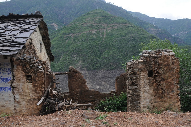
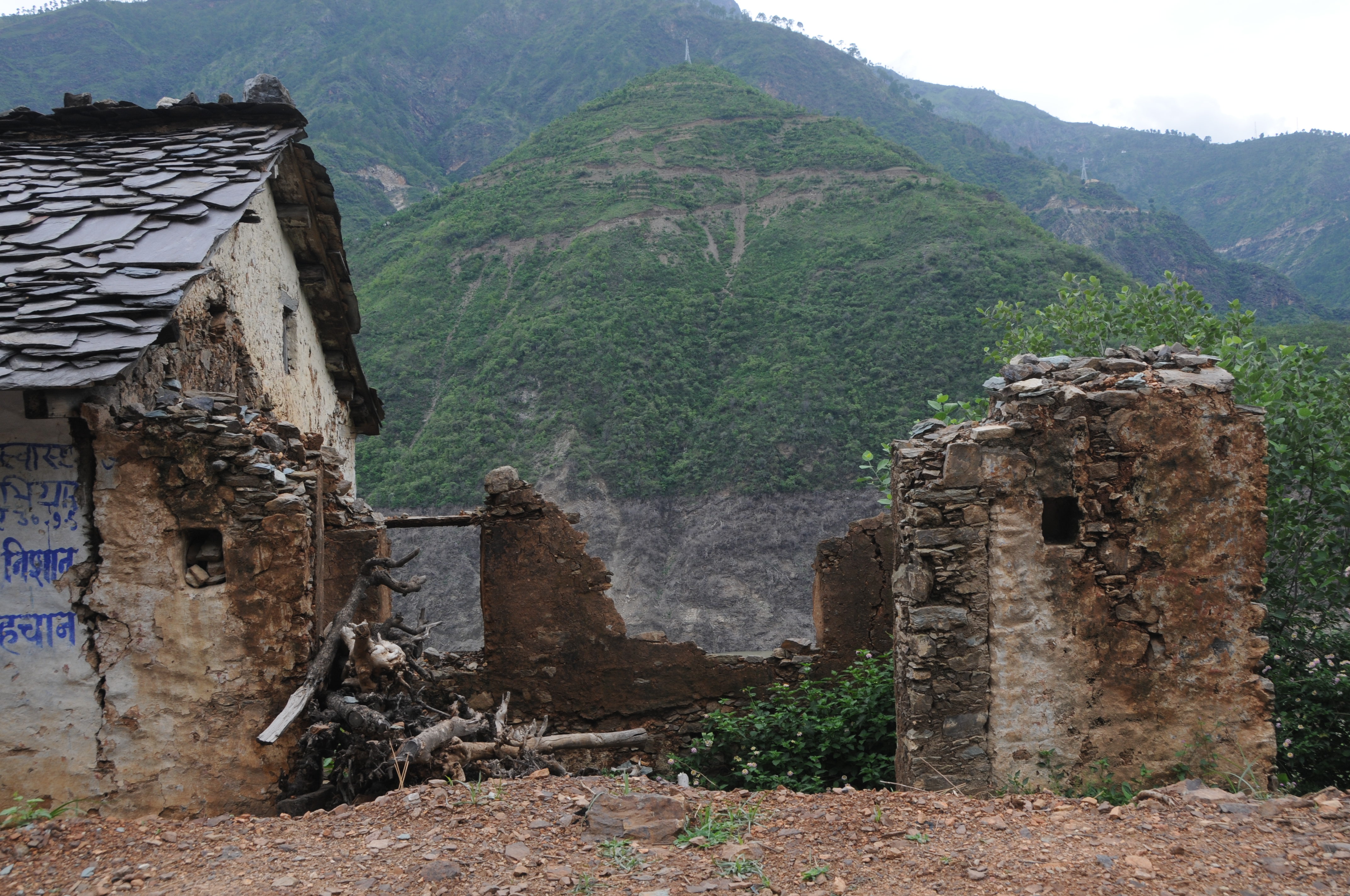
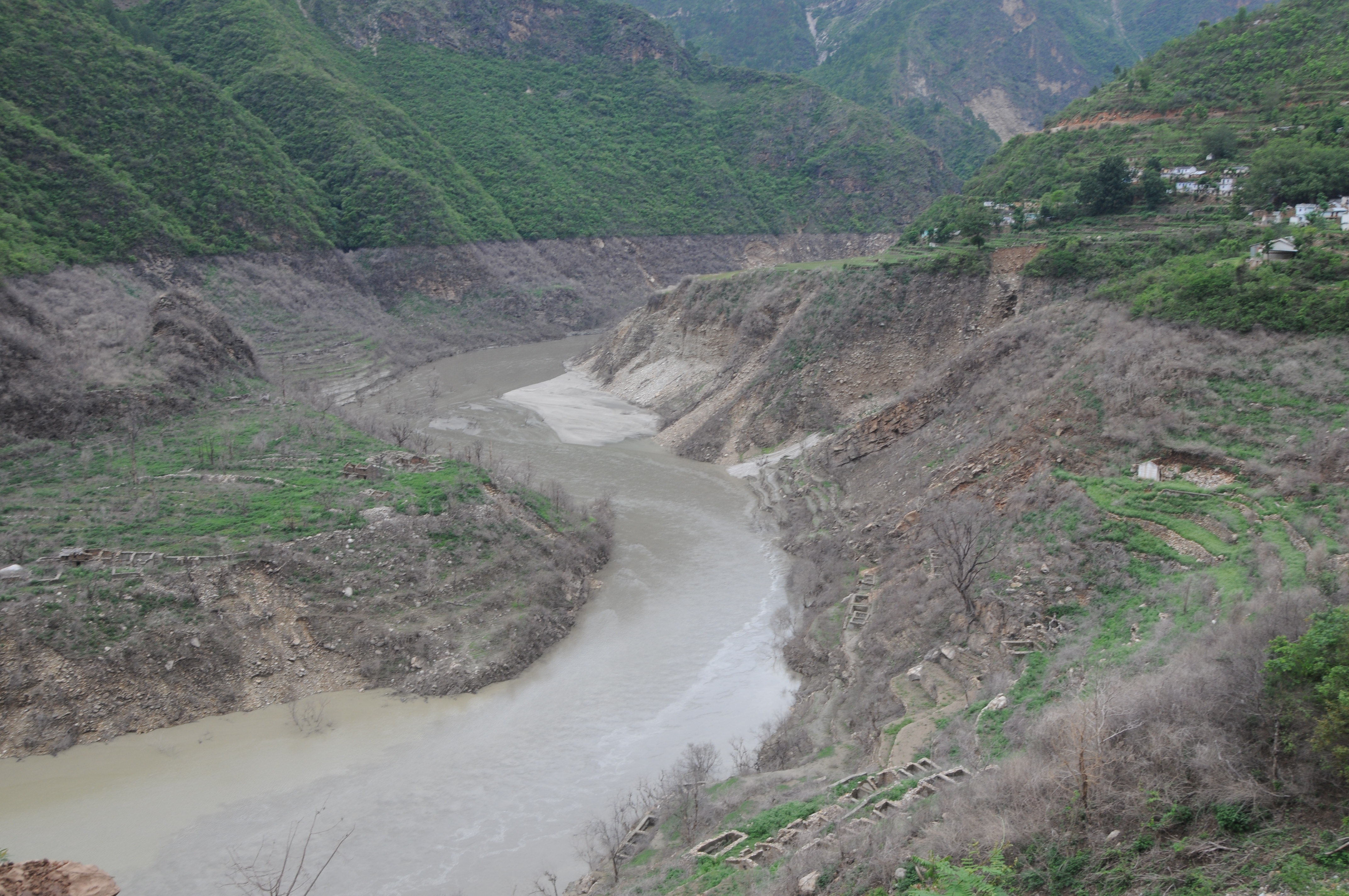
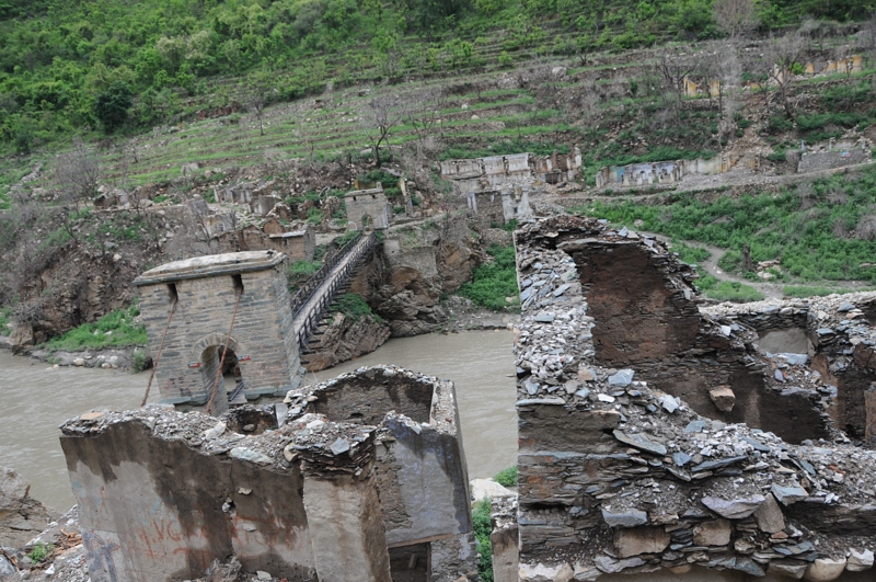
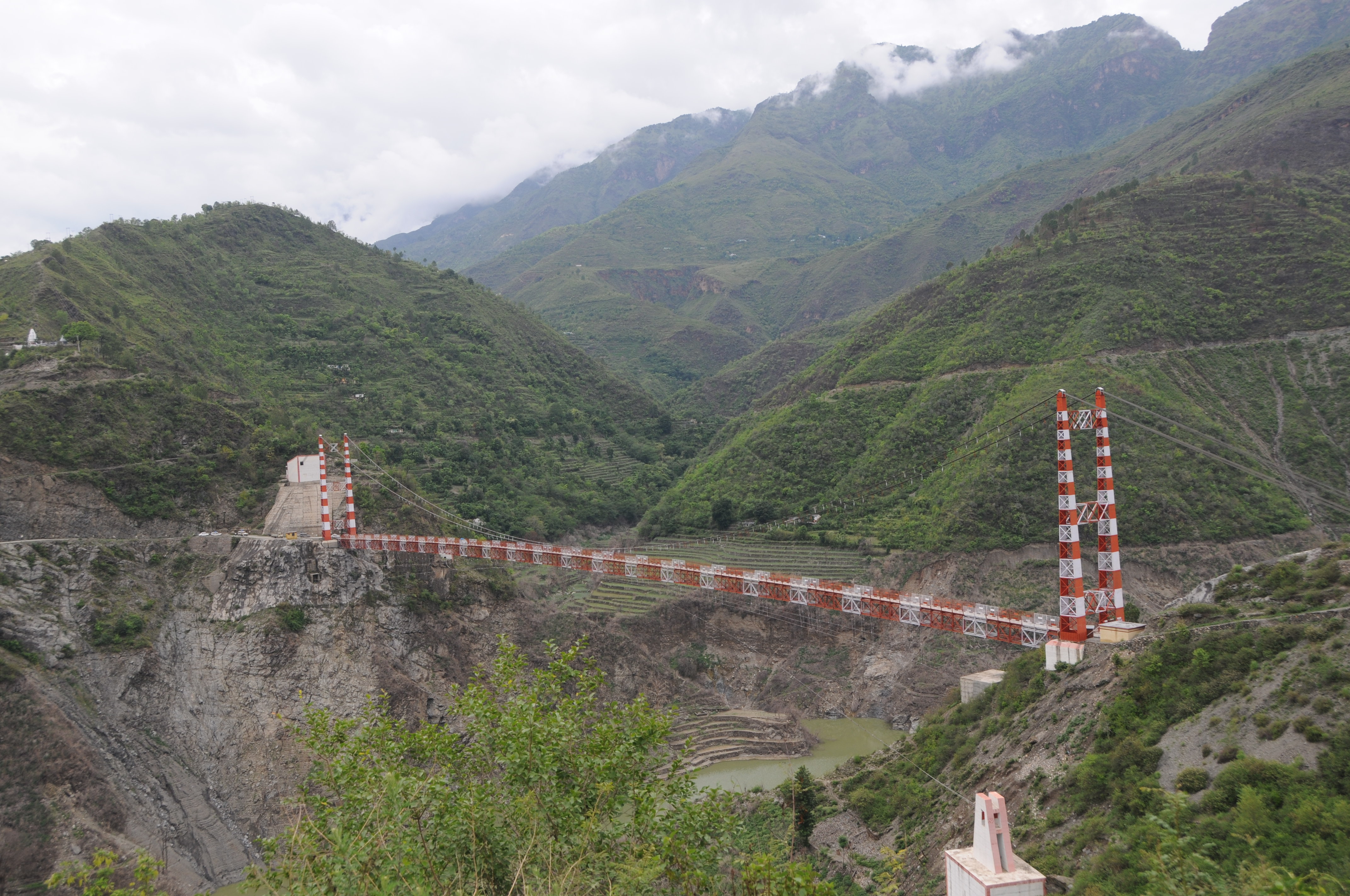
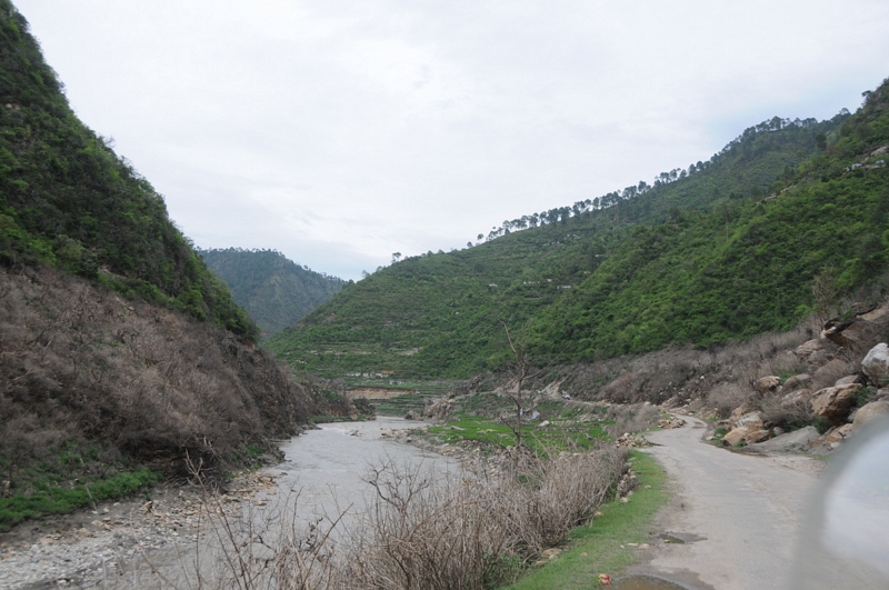
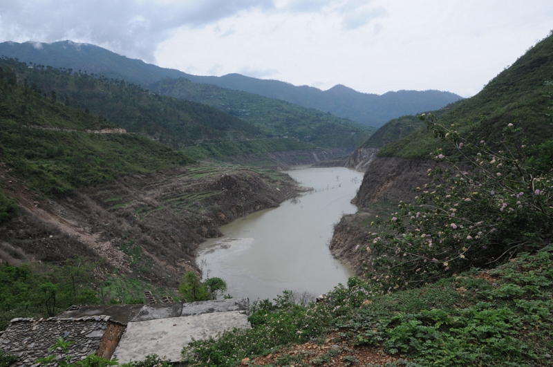
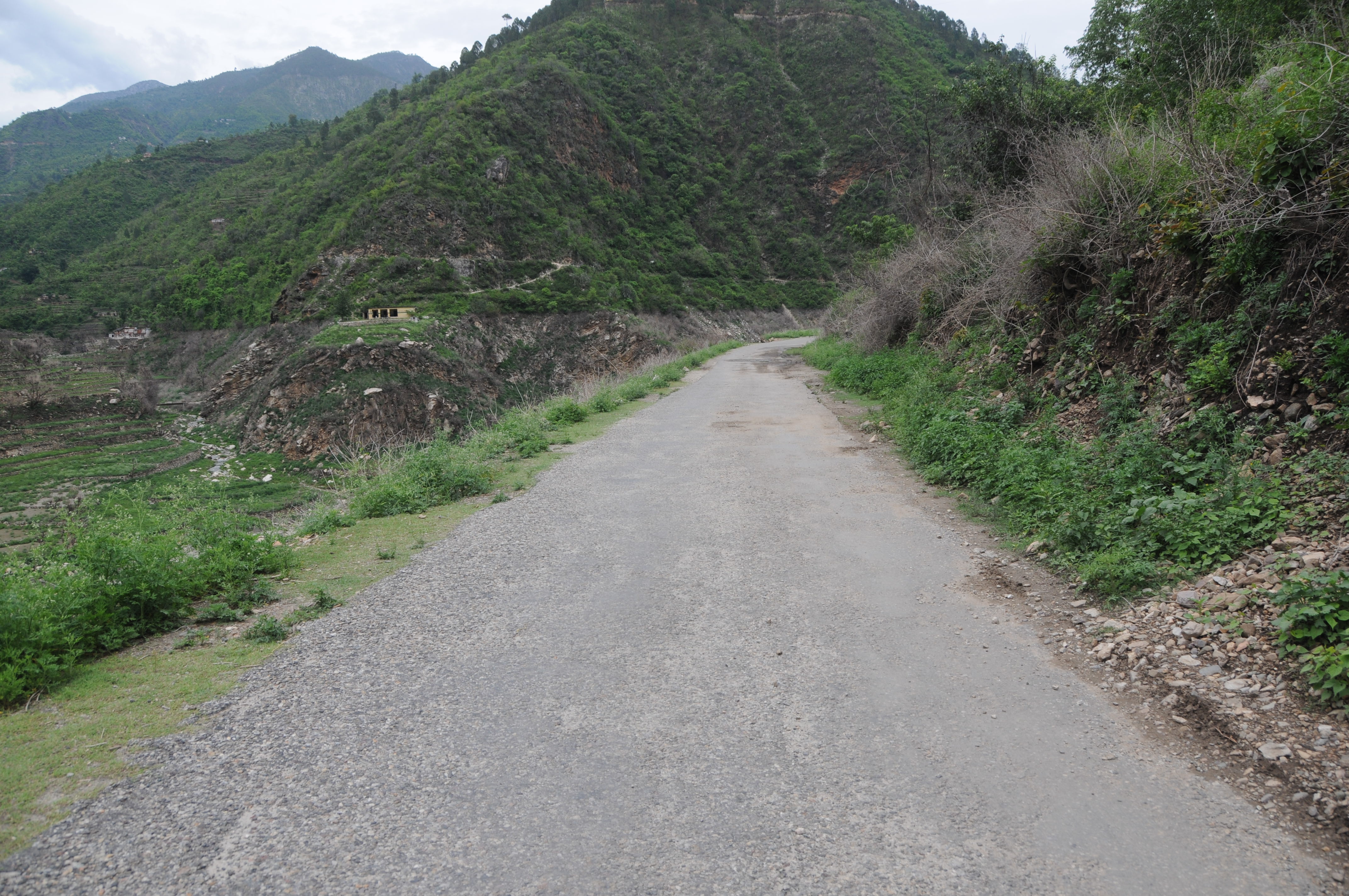
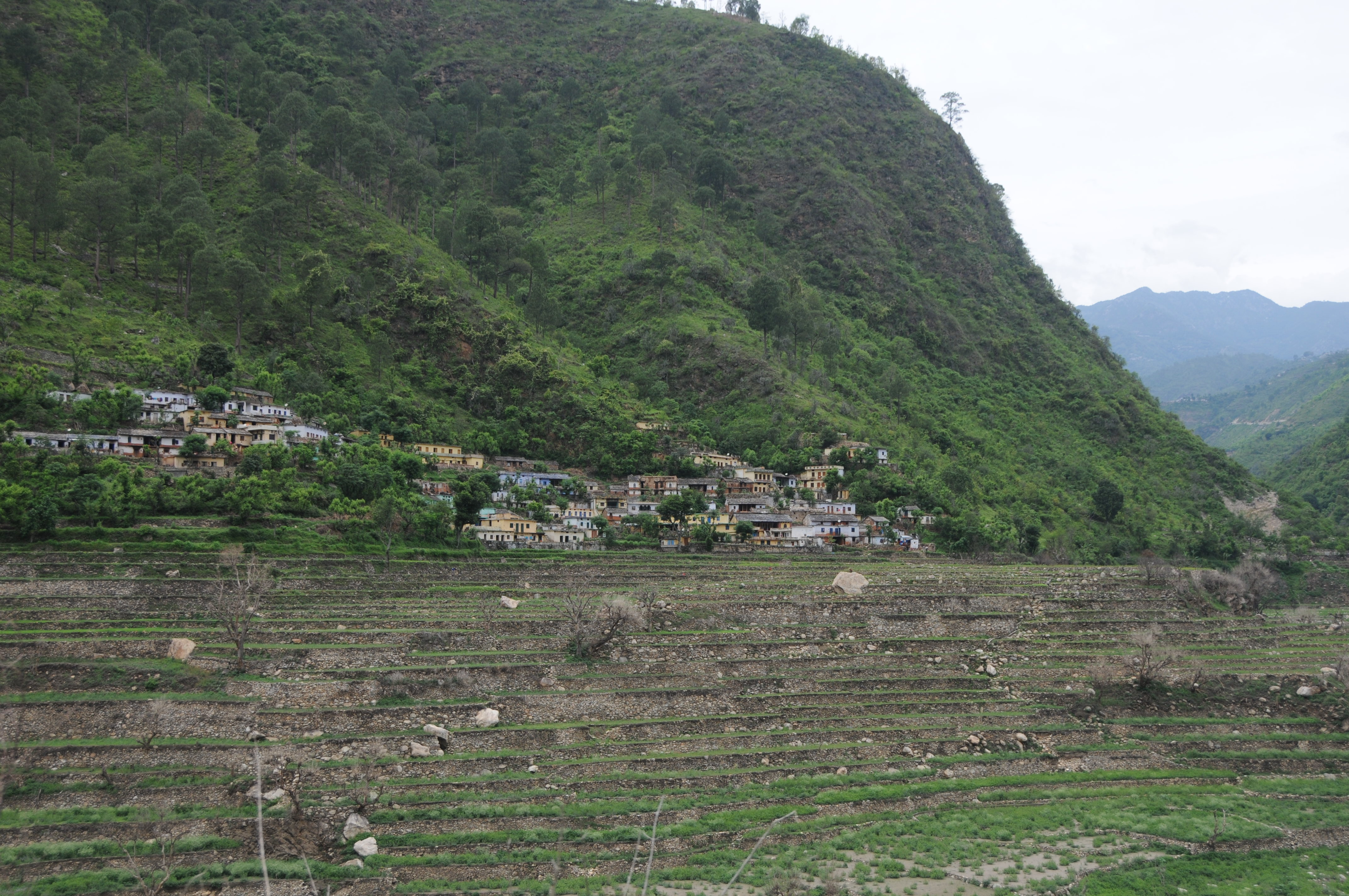
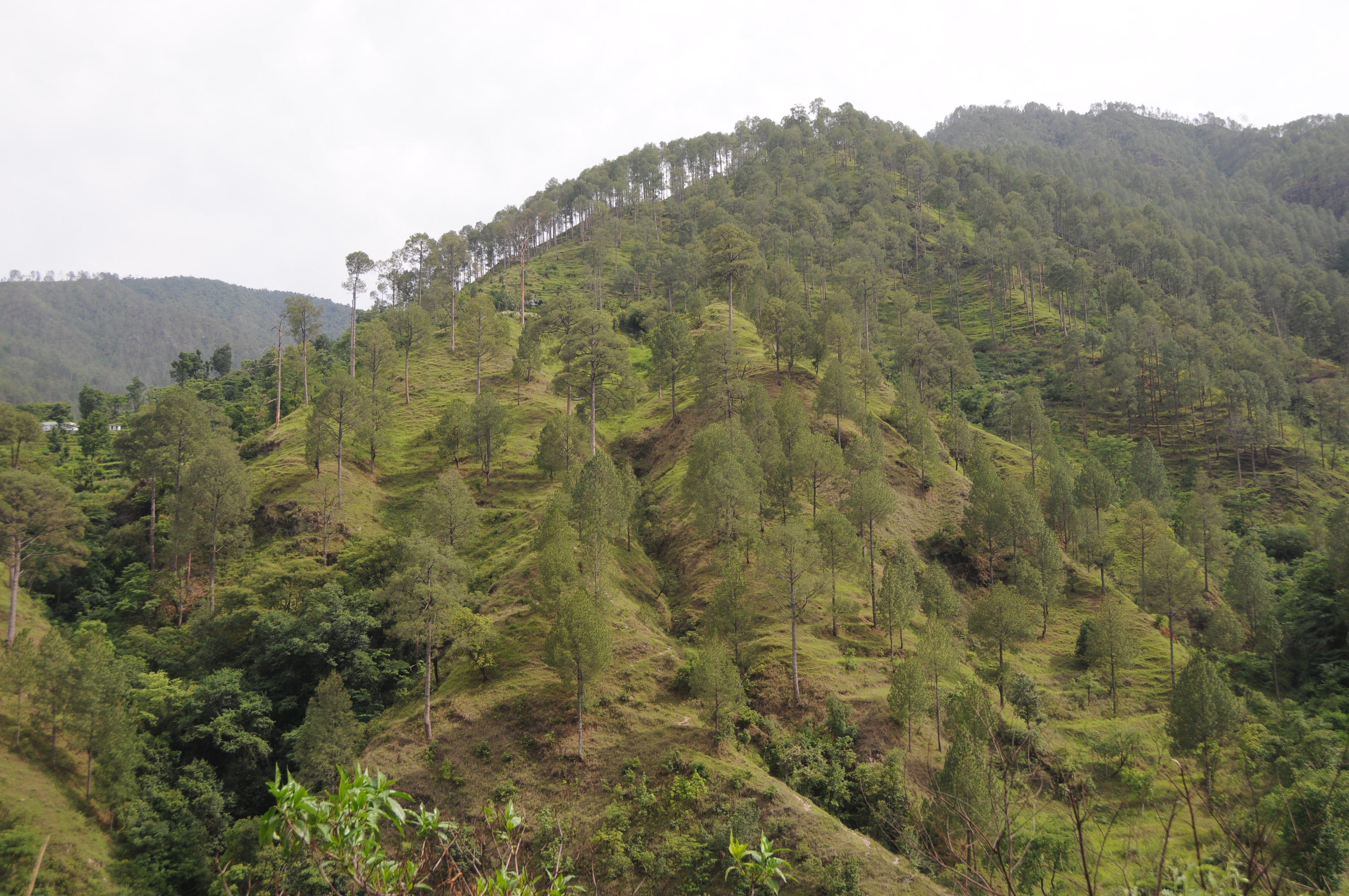
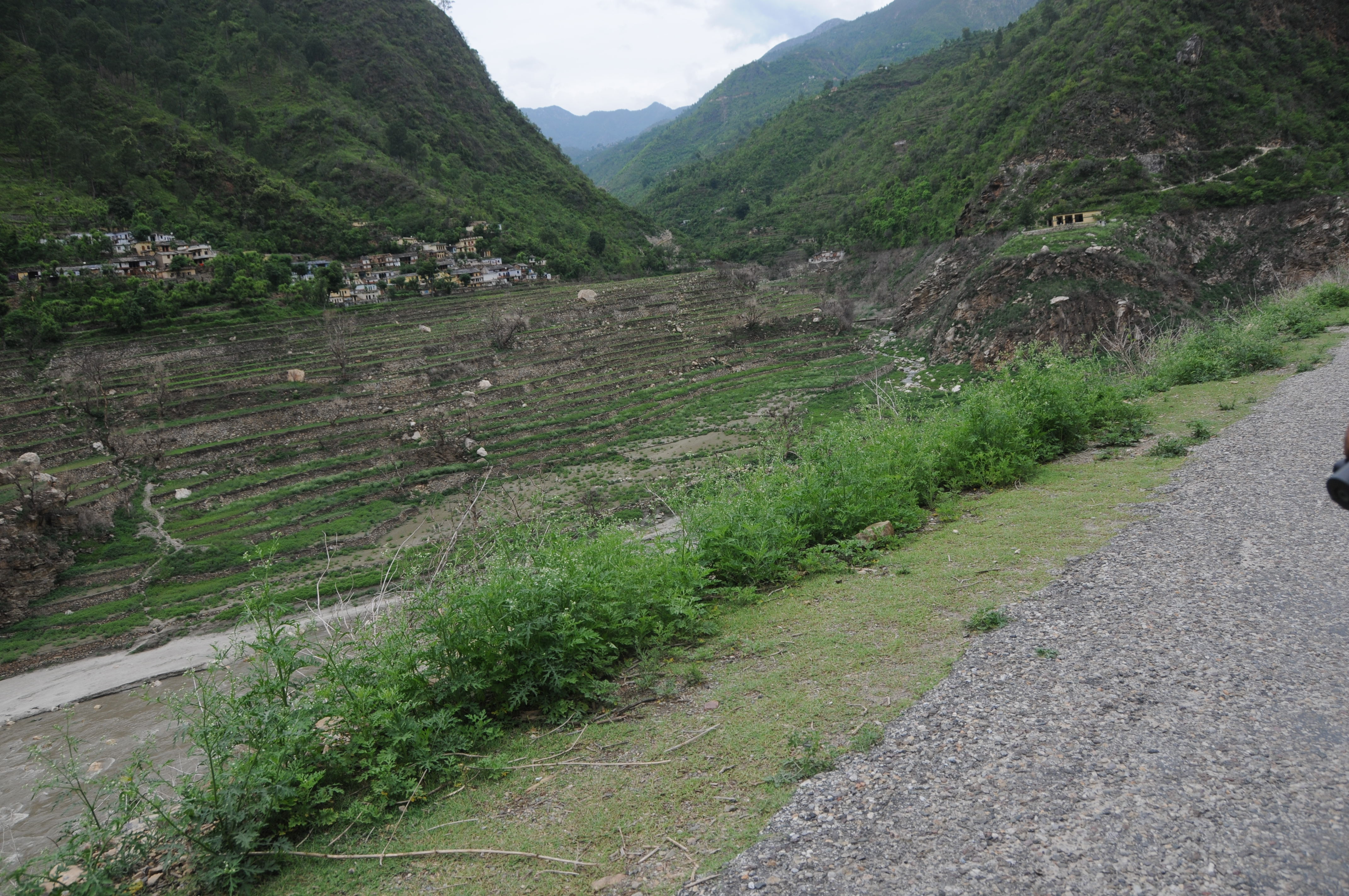
Sunrise & Sunset Photos
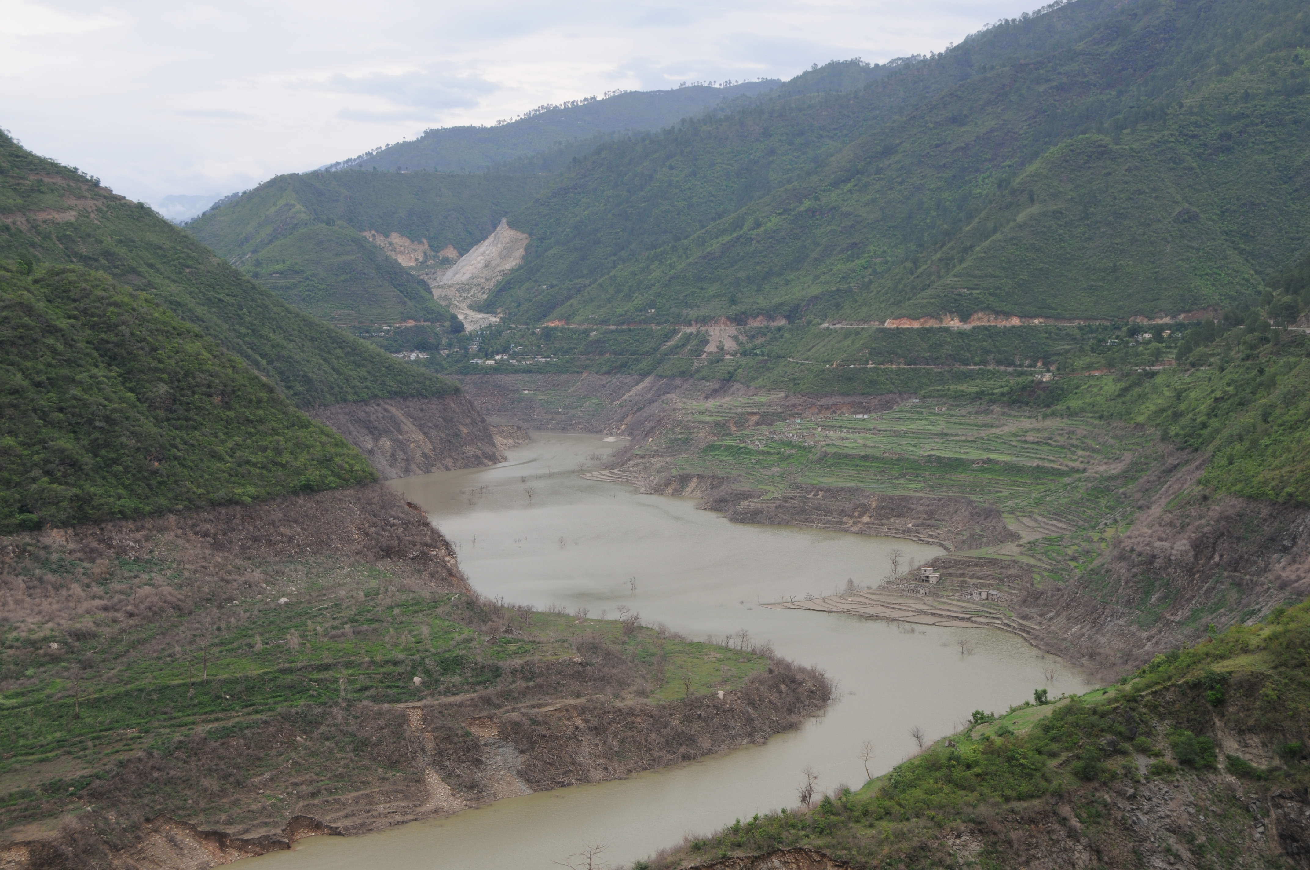
CSP_2905.JPG
Chahgadoliya, UttaraKhand
CSP_2912.JPG

Khand, UttaraKhand

CSP_2946.JPG
CSP_2915.JPG
Ghotiwali, Uttarakhand

CSP_2934.JPG
CSP_2904.JPG

CSP_2933.JPG
Ghotiwali, Uttarakhand
Molno Maya Paukhal, UttaraKhand

CSP_2940.JPG

CSP_2925.JPG
CSP_2928.JPG
CSP_2929.JPG
CSP_2945.JPG
CSP_2927.JPG
Thati Dagar, Uttarakhand, India Map
Search another place
Near Places
Chandrabadni Mata Temple, Chandrabadni Track, Jhanau, Uttarakhand, India
Jhanau, Uttarakhand, India
Phalasi, Uttarakhand, India
Anjanisain, Uttarakhand, India
Musankiri, Uttarakhand, India
Bhilangna River, Uttarakhand
Tehri Garhwal, Uttarakhand, India
Hindolakhal, Uttarakhand, India
Palethi, Uttarakhand, India
Jakhnidhar, Uttarakhand, India
Tipri, Uttarakhand, India
Ranakot, Uttarakhand, India
Sakanyani, Uttarakhand, India
Ranakot Market, Ranakot, Palkot, Uttarakhand, India
Tehri Dam, Uttarakhand, India
Bhigun, Uttarakhand, India
Devaprayag, Uttarakhand, India
Chamoli, Uttarakhand, India
New Tehri, Uttarakhand, India
Uttarakhand, India
Recent Searches
- Sunrise Sunset Times of Red Dog Mine, AK, USA
- Sunrise Sunset Times of Am Bahnhof, Am bhf, Borken, Germany
- Sunrise Sunset Times of 4th St E, Sonoma, CA, USA
- Sunrise Sunset Times of Oakland Ave, Williamsport, PA, USA
- Sunrise Sunset Times of Via Roma, Pieranica CR, Italy
- Sunrise Sunset Times of Clock Tower of Dubrovnik, Grad, Dubrovnik, Croatia
- Sunrise Sunset Times of Trelew, Chubut Province, Argentina
- Sunrise Sunset Times of Hartfords Bluff Cir, Mt Pleasant, SC, USA
- Sunrise Sunset Times of Kita Ward, Kumamoto, Japan
- Sunrise Sunset Times of Pingtan Island, Pingtan County, Fuzhou, China