インド 〒 ウッタランチャル タッティ・ダガー日の出日の入り時間
Location: インド > ウッタランチャル > テイリ・ガーウォール >
時間帯:
Asia/Calcutta
現地時間:
2025-06-20 16:09:59
経度:
78.7008502
緯度:
30.3513932
今日の日の出時刻:
05:13:36 AM
今日の日の入時刻:
07:20:05 PM
今日の日長:
14h 6m 29s
明日の日の出時刻:
05:13:49 AM
明日の日の入時刻:
07:20:18 PM
明日の日長:
14h 6m 29s
すべて表示する
| 日付 | 日出 | 日没 | 日長 |
|---|---|---|---|
| 2025年01月01日 | 07:11:53 AM | 05:25:54 PM | 10h 14m 1s |
| 2025年01月02日 | 07:12:06 AM | 05:26:38 PM | 10h 14m 32s |
| 2025年01月03日 | 07:12:17 AM | 05:27:22 PM | 10h 15m 5s |
| 2025年01月04日 | 07:12:27 AM | 05:28:07 PM | 10h 15m 40s |
| 2025年01月05日 | 07:12:34 AM | 05:28:52 PM | 10h 16m 18s |
| 2025年01月06日 | 07:12:41 AM | 05:29:39 PM | 10h 16m 58s |
| 2025年01月07日 | 07:12:45 AM | 05:30:26 PM | 10h 17m 41s |
| 2025年01月08日 | 07:12:48 AM | 05:31:14 PM | 10h 18m 26s |
| 2025年01月09日 | 07:12:49 AM | 05:32:02 PM | 10h 19m 13s |
| 2025年01月10日 | 07:12:49 AM | 05:32:51 PM | 10h 20m 2s |
| 2025年01月11日 | 07:12:46 AM | 05:33:41 PM | 10h 20m 55s |
| 2025年01月12日 | 07:12:42 AM | 05:34:31 PM | 10h 21m 49s |
| 2025年01月13日 | 07:12:37 AM | 05:35:21 PM | 10h 22m 44s |
| 2025年01月14日 | 07:12:30 AM | 05:36:12 PM | 10h 23m 42s |
| 2025年01月15日 | 07:12:21 AM | 05:37:04 PM | 10h 24m 43s |
| 2025年01月16日 | 07:12:10 AM | 05:37:55 PM | 10h 25m 45s |
| 2025年01月17日 | 07:11:58 AM | 05:38:47 PM | 10h 26m 49s |
| 2025年01月18日 | 07:11:44 AM | 05:39:39 PM | 10h 27m 55s |
| 2025年01月19日 | 07:11:28 AM | 05:40:31 PM | 10h 29m 3s |
| 2025年01月20日 | 07:11:11 AM | 05:41:24 PM | 10h 30m 13s |
| 2025年01月21日 | 07:10:52 AM | 05:42:17 PM | 10h 31m 25s |
| 2025年01月22日 | 07:10:31 AM | 05:43:09 PM | 10h 32m 38s |
| 2025年01月23日 | 07:10:09 AM | 05:44:02 PM | 10h 33m 53s |
| 2025年01月24日 | 07:09:45 AM | 05:44:55 PM | 10h 35m 10s |
| 2025年01月25日 | 07:09:20 AM | 05:45:48 PM | 10h 36m 28s |
| 2025年01月26日 | 07:08:53 AM | 05:46:40 PM | 10h 37m 47s |
| 2025年01月27日 | 07:08:24 AM | 05:47:33 PM | 10h 39m 9s |
| 2025年01月28日 | 07:07:54 AM | 05:48:26 PM | 10h 40m 32s |
| 2025年01月29日 | 07:07:22 AM | 05:49:18 PM | 10h 41m 56s |
| 2025年01月30日 | 07:06:49 AM | 05:50:11 PM | 10h 43m 22s |
| 2025年01月31日 | 07:06:15 AM | 05:51:03 PM | 10h 44m 48s |
| 2025年02月01日 | 07:05:39 AM | 05:51:55 PM | 10h 46m 16s |
| 2025年02月02日 | 07:05:02 AM | 05:52:47 PM | 10h 47m 45s |
| 2025年02月03日 | 07:04:23 AM | 05:53:38 PM | 10h 49m 15s |
| 2025年02月04日 | 07:03:43 AM | 05:54:30 PM | 10h 50m 47s |
| 2025年02月05日 | 07:03:01 AM | 05:55:21 PM | 10h 52m 20s |
| 2025年02月06日 | 07:02:18 AM | 05:56:12 PM | 10h 53m 54s |
| 2025年02月07日 | 07:01:34 AM | 05:57:02 PM | 10h 55m 28s |
| 2025年02月08日 | 07:00:49 AM | 05:57:53 PM | 10h 57m 4s |
| 2025年02月09日 | 07:00:02 AM | 05:58:42 PM | 10h 58m 40s |
| 2025年02月10日 | 06:59:14 AM | 05:59:32 PM | 11h 0m 18s |
| 2025年02月11日 | 06:58:25 AM | 06:00:21 PM | 11h 1m 56s |
| 2025年02月12日 | 06:57:35 AM | 06:01:10 PM | 11h 3m 35s |
| 2025年02月13日 | 06:56:43 AM | 06:01:59 PM | 11h 5m 16s |
| 2025年02月14日 | 06:55:51 AM | 06:02:47 PM | 11h 6m 56s |
| 2025年02月15日 | 06:54:57 AM | 06:03:35 PM | 11h 8m 38s |
| 2025年02月16日 | 06:54:02 AM | 06:04:22 PM | 11h 10m 20s |
| 2025年02月17日 | 06:53:06 AM | 06:05:09 PM | 11h 12m 3s |
| 2025年02月18日 | 06:52:10 AM | 06:05:56 PM | 11h 13m 46s |
| 2025年02月19日 | 06:51:12 AM | 06:06:42 PM | 11h 15m 30s |
| 2025年02月20日 | 06:50:13 AM | 06:07:28 PM | 11h 17m 15s |
| 2025年02月21日 | 06:49:14 AM | 06:08:14 PM | 11h 19m 0s |
| 2025年02月22日 | 06:48:13 AM | 06:08:59 PM | 11h 20m 46s |
| 2025年02月23日 | 06:47:12 AM | 06:09:44 PM | 11h 22m 32s |
| 2025年02月24日 | 06:46:10 AM | 06:10:28 PM | 11h 24m 18s |
| 2025年02月25日 | 06:45:07 AM | 06:11:12 PM | 11h 26m 5s |
| 2025年02月26日 | 06:44:03 AM | 06:11:56 PM | 11h 27m 53s |
| 2025年02月27日 | 06:42:59 AM | 06:12:39 PM | 11h 29m 40s |
| 2025年02月28日 | 06:41:54 AM | 06:13:22 PM | 11h 31m 28s |
| 2025年03月01日 | 06:40:48 AM | 06:14:05 PM | 11h 33m 17s |
| 2025年03月02日 | 06:39:41 AM | 06:14:47 PM | 11h 35m 6s |
| 2025年03月03日 | 06:38:34 AM | 06:15:29 PM | 11h 36m 55s |
| 2025年03月04日 | 06:37:26 AM | 06:16:11 PM | 11h 38m 45s |
| 2025年03月05日 | 06:36:18 AM | 06:16:52 PM | 11h 40m 34s |
| 2025年03月06日 | 06:35:09 AM | 06:17:33 PM | 11h 42m 24s |
| 2025年03月07日 | 06:34:00 AM | 06:18:14 PM | 11h 44m 14s |
| 2025年03月08日 | 06:32:50 AM | 06:18:54 PM | 11h 46m 4s |
| 2025年03月09日 | 06:31:40 AM | 06:19:34 PM | 11h 47m 54s |
| 2025年03月10日 | 06:30:29 AM | 06:20:14 PM | 11h 49m 45s |
| 2025年03月11日 | 06:29:18 AM | 06:20:54 PM | 11h 51m 36s |
| 2025年03月12日 | 06:28:07 AM | 06:21:33 PM | 11h 53m 26s |
| 2025年03月13日 | 06:26:55 AM | 06:22:12 PM | 11h 55m 17s |
| 2025年03月14日 | 06:25:43 AM | 06:22:51 PM | 11h 57m 8s |
| 2025年03月15日 | 06:24:31 AM | 06:23:30 PM | 11h 58m 59s |
| 2025年03月16日 | 06:23:18 AM | 06:24:08 PM | 12h 0m 50s |
| 2025年03月17日 | 06:22:06 AM | 06:24:47 PM | 12h 2m 41s |
| 2025年03月18日 | 06:20:53 AM | 06:25:25 PM | 12h 4m 32s |
| 2025年03月19日 | 06:19:40 AM | 06:26:03 PM | 12h 6m 23s |
| 2025年03月20日 | 06:18:26 AM | 06:26:41 PM | 12h 8m 15s |
| 2025年03月21日 | 06:17:13 AM | 06:27:18 PM | 12h 10m 5s |
| 2025年03月22日 | 06:16:00 AM | 06:27:56 PM | 12h 11m 56s |
| 2025年03月23日 | 06:14:46 AM | 06:28:33 PM | 12h 13m 47s |
| 2025年03月24日 | 06:13:33 AM | 06:29:11 PM | 12h 15m 38s |
| 2025年03月25日 | 06:12:19 AM | 06:29:48 PM | 12h 17m 29s |
| 2025年03月26日 | 06:11:06 AM | 06:30:25 PM | 12h 19m 19s |
| 2025年03月27日 | 06:09:52 AM | 06:31:02 PM | 12h 21m 10s |
| 2025年03月28日 | 06:08:39 AM | 06:31:39 PM | 12h 23m 0s |
| 2025年03月29日 | 06:07:26 AM | 06:32:16 PM | 12h 24m 50s |
| 2025年03月30日 | 06:06:13 AM | 06:32:53 PM | 12h 26m 40s |
| 2025年03月31日 | 06:05:00 AM | 06:33:30 PM | 12h 28m 30s |
| 2025年04月01日 | 06:03:48 AM | 06:34:07 PM | 12h 30m 19s |
| 2025年04月02日 | 06:02:35 AM | 06:34:44 PM | 12h 32m 9s |
| 2025年04月03日 | 06:01:23 AM | 06:35:21 PM | 12h 33m 58s |
| 2025年04月04日 | 06:00:11 AM | 06:35:58 PM | 12h 35m 47s |
| 2025年04月05日 | 05:59:00 AM | 06:36:35 PM | 12h 37m 35s |
| 2025年04月06日 | 05:57:49 AM | 06:37:13 PM | 12h 39m 24s |
| 2025年04月07日 | 05:56:38 AM | 06:37:50 PM | 12h 41m 12s |
| 2025年04月08日 | 05:55:28 AM | 06:38:27 PM | 12h 42m 59s |
| 2025年04月09日 | 05:54:18 AM | 06:39:04 PM | 12h 44m 46s |
| 2025年04月10日 | 05:53:08 AM | 06:39:42 PM | 12h 46m 34s |
| 2025年04月11日 | 05:51:59 AM | 06:40:19 PM | 12h 48m 20s |
| 2025年04月12日 | 05:50:51 AM | 06:40:57 PM | 12h 50m 6s |
| 2025年04月13日 | 05:49:43 AM | 06:41:34 PM | 12h 51m 51s |
| 2025年04月14日 | 05:48:35 AM | 06:42:12 PM | 12h 53m 37s |
| 2025年04月15日 | 05:47:29 AM | 06:42:50 PM | 12h 55m 21s |
| 2025年04月16日 | 05:46:22 AM | 06:43:28 PM | 12h 57m 6s |
| 2025年04月17日 | 05:45:17 AM | 06:44:06 PM | 12h 58m 49s |
| 2025年04月18日 | 05:44:12 AM | 06:44:44 PM | 13h 0m 32s |
| 2025年04月19日 | 05:43:08 AM | 06:45:22 PM | 13h 2m 14s |
| 2025年04月20日 | 05:42:04 AM | 06:46:00 PM | 13h 3m 56s |
| 2025年04月21日 | 05:41:02 AM | 06:46:39 PM | 13h 5m 37s |
| 2025年04月22日 | 05:40:00 AM | 06:47:17 PM | 13h 7m 17s |
| 2025年04月23日 | 05:38:59 AM | 06:47:56 PM | 13h 8m 57s |
| 2025年04月24日 | 05:37:58 AM | 06:48:35 PM | 13h 10m 37s |
| 2025年04月25日 | 05:36:59 AM | 06:49:14 PM | 13h 12m 15s |
| 2025年04月26日 | 05:36:00 AM | 06:49:53 PM | 13h 13m 53s |
| 2025年04月27日 | 05:35:03 AM | 06:50:32 PM | 13h 15m 29s |
| 2025年04月28日 | 05:34:06 AM | 06:51:11 PM | 13h 17m 5s |
| 2025年04月29日 | 05:33:10 AM | 06:51:50 PM | 13h 18m 40s |
| 2025年04月30日 | 05:32:16 AM | 06:52:30 PM | 13h 20m 14s |
| 2025年05月01日 | 05:31:22 AM | 06:53:09 PM | 13h 21m 47s |
| 2025年05月02日 | 05:30:29 AM | 06:53:49 PM | 13h 23m 20s |
| 2025年05月03日 | 05:29:37 AM | 06:54:28 PM | 13h 24m 51s |
| 2025年05月04日 | 05:28:47 AM | 06:55:08 PM | 13h 26m 21s |
| 2025年05月05日 | 05:27:57 AM | 06:55:47 PM | 13h 27m 50s |
| 2025年05月06日 | 05:27:09 AM | 06:56:27 PM | 13h 29m 18s |
| 2025年05月07日 | 05:26:21 AM | 06:57:07 PM | 13h 30m 46s |
| 2025年05月08日 | 05:25:35 AM | 06:57:46 PM | 13h 32m 11s |
| 2025年05月09日 | 05:24:50 AM | 06:58:26 PM | 13h 33m 36s |
| 2025年05月10日 | 05:24:06 AM | 06:59:05 PM | 13h 34m 59s |
| 2025年05月11日 | 05:23:24 AM | 06:59:45 PM | 13h 36m 21s |
| 2025年05月12日 | 05:22:42 AM | 07:00:24 PM | 13h 37m 42s |
| 2025年05月13日 | 05:22:02 AM | 07:01:03 PM | 13h 39m 1s |
| 2025年05月14日 | 05:21:23 AM | 07:01:42 PM | 13h 40m 19s |
| 2025年05月15日 | 05:20:46 AM | 07:02:21 PM | 13h 41m 35s |
| 2025年05月16日 | 05:20:10 AM | 07:03:00 PM | 13h 42m 50s |
| 2025年05月17日 | 05:19:35 AM | 07:03:38 PM | 13h 44m 3s |
| 2025年05月18日 | 05:19:01 AM | 07:04:17 PM | 13h 45m 16s |
| 2025年05月19日 | 05:18:29 AM | 07:04:55 PM | 13h 46m 26s |
| 2025年05月20日 | 05:17:58 AM | 07:05:33 PM | 13h 47m 35s |
| 2025年05月21日 | 05:17:29 AM | 07:06:10 PM | 13h 48m 41s |
| 2025年05月22日 | 05:17:01 AM | 07:06:47 PM | 13h 49m 46s |
| 2025年05月23日 | 05:16:34 AM | 07:07:24 PM | 13h 50m 50s |
| 2025年05月24日 | 05:16:08 AM | 07:08:01 PM | 13h 51m 53s |
| 2025年05月25日 | 05:15:45 AM | 07:08:37 PM | 13h 52m 52s |
| 2025年05月26日 | 05:15:22 AM | 07:09:12 PM | 13h 53m 50s |
| 2025年05月27日 | 05:15:01 AM | 07:09:47 PM | 13h 54m 46s |
| 2025年05月28日 | 05:14:41 AM | 07:10:22 PM | 13h 55m 41s |
| 2025年05月29日 | 05:14:23 AM | 07:10:56 PM | 13h 56m 33s |
| 2025年05月30日 | 05:14:06 AM | 07:11:30 PM | 13h 57m 24s |
| 2025年05月31日 | 05:13:51 AM | 07:12:02 PM | 13h 58m 11s |
| 2025年06月01日 | 05:13:37 AM | 07:12:35 PM | 13h 58m 58s |
| 2025年06月02日 | 05:13:25 AM | 07:13:06 PM | 13h 59m 41s |
| 2025年06月03日 | 05:13:14 AM | 07:13:37 PM | 14h 0m 23s |
| 2025年06月04日 | 05:13:04 AM | 07:14:08 PM | 14h 1m 4s |
| 2025年06月05日 | 05:12:56 AM | 07:14:37 PM | 14h 1m 41s |
| 2025年06月06日 | 05:12:49 AM | 07:15:06 PM | 14h 2m 17s |
| 2025年06月07日 | 05:12:44 AM | 07:15:33 PM | 14h 2m 49s |
| 2025年06月08日 | 05:12:40 AM | 07:16:00 PM | 14h 3m 20s |
| 2025年06月09日 | 05:12:37 AM | 07:16:27 PM | 14h 3m 50s |
| 2025年06月10日 | 05:12:36 AM | 07:16:52 PM | 14h 4m 16s |
| 2025年06月11日 | 05:12:36 AM | 07:17:16 PM | 14h 4m 40s |
| 2025年06月12日 | 05:12:38 AM | 07:17:39 PM | 14h 5m 1s |
| 2025年06月13日 | 05:12:41 AM | 07:18:01 PM | 14h 5m 20s |
| 2025年06月14日 | 05:12:45 AM | 07:18:23 PM | 14h 5m 38s |
| 2025年06月15日 | 05:12:50 AM | 07:18:43 PM | 14h 5m 53s |
| 2025年06月16日 | 05:12:57 AM | 07:19:02 PM | 14h 6m 5s |
| 2025年06月17日 | 05:13:05 AM | 07:19:20 PM | 14h 6m 15s |
| 2025年06月18日 | 05:13:15 AM | 07:19:36 PM | 14h 6m 21s |
| 2025年06月19日 | 05:13:25 AM | 07:19:52 PM | 14h 6m 27s |
| 2025年06月20日 | 05:13:37 AM | 07:20:06 PM | 14h 6m 29s |
| 2025年06月21日 | 05:13:50 AM | 07:20:19 PM | 14h 6m 29s |
| 2025年06月22日 | 05:14:04 AM | 07:20:31 PM | 14h 6m 27s |
| 2025年06月23日 | 05:14:20 AM | 07:20:42 PM | 14h 6m 22s |
| 2025年06月24日 | 05:14:36 AM | 07:20:51 PM | 14h 6m 15s |
| 2025年06月25日 | 05:14:54 AM | 07:20:59 PM | 14h 6m 5s |
| 2025年06月26日 | 05:15:12 AM | 07:21:06 PM | 14h 5m 54s |
| 2025年06月27日 | 05:15:32 AM | 07:21:11 PM | 14h 5m 39s |
| 2025年06月28日 | 05:15:52 AM | 07:21:15 PM | 14h 5m 23s |
| 2025年06月29日 | 05:16:14 AM | 07:21:17 PM | 14h 5m 3s |
| 2025年06月30日 | 05:16:36 AM | 07:21:19 PM | 14h 4m 43s |
| 2025年07月01日 | 05:17:00 AM | 07:21:18 PM | 14h 4m 18s |
| 2025年07月02日 | 05:17:24 AM | 07:21:17 PM | 14h 3m 53s |
| 2025年07月03日 | 05:17:49 AM | 07:21:14 PM | 14h 3m 25s |
| 2025年07月04日 | 05:18:15 AM | 07:21:09 PM | 14h 2m 54s |
| 2025年07月05日 | 05:18:42 AM | 07:21:03 PM | 14h 2m 21s |
| 2025年07月06日 | 05:19:10 AM | 07:20:55 PM | 14h 1m 45s |
| 2025年07月07日 | 05:19:38 AM | 07:20:47 PM | 14h 1m 9s |
| 2025年07月08日 | 05:20:07 AM | 07:20:36 PM | 14h 0m 29s |
| 2025年07月09日 | 05:20:37 AM | 07:20:24 PM | 13h 59m 47s |
| 2025年07月10日 | 05:21:07 AM | 07:20:11 PM | 13h 59m 4s |
| 2025年07月11日 | 05:21:38 AM | 07:19:56 PM | 13h 58m 18s |
| 2025年07月12日 | 05:22:09 AM | 07:19:40 PM | 13h 57m 31s |
| 2025年07月13日 | 05:22:41 AM | 07:19:22 PM | 13h 56m 41s |
| 2025年07月14日 | 05:23:13 AM | 07:19:03 PM | 13h 55m 50s |
| 2025年07月15日 | 05:23:46 AM | 07:18:42 PM | 13h 54m 56s |
| 2025年07月16日 | 05:24:20 AM | 07:18:20 PM | 13h 54m 0s |
| 2025年07月17日 | 05:24:53 AM | 07:17:56 PM | 13h 53m 3s |
| 2025年07月18日 | 05:25:27 AM | 07:17:31 PM | 13h 52m 4s |
| 2025年07月19日 | 05:26:02 AM | 07:17:04 PM | 13h 51m 2s |
| 2025年07月20日 | 05:26:37 AM | 07:16:37 PM | 13h 50m 0s |
| 2025年07月21日 | 05:27:12 AM | 07:16:07 PM | 13h 48m 55s |
| 2025年07月22日 | 05:27:47 AM | 07:15:36 PM | 13h 47m 49s |
| 2025年07月23日 | 05:28:23 AM | 07:15:04 PM | 13h 46m 41s |
| 2025年07月24日 | 05:28:58 AM | 07:14:31 PM | 13h 45m 33s |
| 2025年07月25日 | 05:29:34 AM | 07:13:56 PM | 13h 44m 22s |
| 2025年07月26日 | 05:30:11 AM | 07:13:19 PM | 13h 43m 8s |
| 2025年07月27日 | 05:30:47 AM | 07:12:42 PM | 13h 41m 55s |
| 2025年07月28日 | 05:31:23 AM | 07:12:03 PM | 13h 40m 40s |
| 2025年07月29日 | 05:32:00 AM | 07:11:22 PM | 13h 39m 22s |
| 2025年07月30日 | 05:32:36 AM | 07:10:41 PM | 13h 38m 5s |
| 2025年07月31日 | 05:33:13 AM | 07:09:58 PM | 13h 36m 45s |
| 2025年08月01日 | 05:33:50 AM | 07:09:14 PM | 13h 35m 24s |
| 2025年08月02日 | 05:34:26 AM | 07:08:28 PM | 13h 34m 2s |
| 2025年08月03日 | 05:35:03 AM | 07:07:42 PM | 13h 32m 39s |
| 2025年08月04日 | 05:35:40 AM | 07:06:54 PM | 13h 31m 14s |
| 2025年08月05日 | 05:36:17 AM | 07:06:05 PM | 13h 29m 48s |
| 2025年08月06日 | 05:36:53 AM | 07:05:15 PM | 13h 28m 22s |
| 2025年08月07日 | 05:37:30 AM | 07:04:24 PM | 13h 26m 54s |
| 2025年08月08日 | 05:38:06 AM | 07:03:32 PM | 13h 25m 26s |
| 2025年08月09日 | 05:38:43 AM | 07:02:38 PM | 13h 23m 55s |
| 2025年08月10日 | 05:39:19 AM | 07:01:44 PM | 13h 22m 25s |
| 2025年08月11日 | 05:39:55 AM | 07:00:48 PM | 13h 20m 53s |
| 2025年08月12日 | 05:40:31 AM | 06:59:52 PM | 13h 19m 21s |
| 2025年08月13日 | 05:41:07 AM | 06:58:54 PM | 13h 17m 47s |
| 2025年08月14日 | 05:41:43 AM | 06:57:56 PM | 13h 16m 13s |
| 2025年08月15日 | 05:42:19 AM | 06:56:56 PM | 13h 14m 37s |
| 2025年08月16日 | 05:42:55 AM | 06:55:56 PM | 13h 13m 1s |
| 2025年08月17日 | 05:43:30 AM | 06:54:55 PM | 13h 11m 25s |
| 2025年08月18日 | 05:44:05 AM | 06:53:53 PM | 13h 9m 48s |
| 2025年08月19日 | 05:44:41 AM | 06:52:50 PM | 13h 8m 9s |
| 2025年08月20日 | 05:45:16 AM | 06:51:46 PM | 13h 6m 30s |
| 2025年08月21日 | 05:45:51 AM | 06:50:41 PM | 13h 4m 50s |
| 2025年08月22日 | 05:46:25 AM | 06:49:36 PM | 13h 3m 11s |
| 2025年08月23日 | 05:47:00 AM | 06:48:30 PM | 13h 1m 30s |
| 2025年08月24日 | 05:47:35 AM | 06:47:23 PM | 12h 59m 48s |
| 2025年08月25日 | 05:48:09 AM | 06:46:16 PM | 12h 58m 7s |
| 2025年08月26日 | 05:48:43 AM | 06:45:07 PM | 12h 56m 24s |
| 2025年08月27日 | 05:49:17 AM | 06:43:59 PM | 12h 54m 42s |
| 2025年08月28日 | 05:49:51 AM | 06:42:49 PM | 12h 52m 58s |
| 2025年08月29日 | 05:50:25 AM | 06:41:39 PM | 12h 51m 14s |
| 2025年08月30日 | 05:50:59 AM | 06:40:29 PM | 12h 49m 30s |
| 2025年08月31日 | 05:51:32 AM | 06:39:18 PM | 12h 47m 46s |
| 2025年09月01日 | 05:52:06 AM | 06:38:06 PM | 12h 46m 0s |
| 2025年09月02日 | 05:52:39 AM | 06:36:54 PM | 12h 44m 15s |
| 2025年09月03日 | 05:53:12 AM | 06:35:42 PM | 12h 42m 30s |
| 2025年09月04日 | 05:53:45 AM | 06:34:29 PM | 12h 40m 44s |
| 2025年09月05日 | 05:54:19 AM | 06:33:15 PM | 12h 38m 56s |
| 2025年09月06日 | 05:54:52 AM | 06:32:02 PM | 12h 37m 10s |
| 2025年09月07日 | 05:55:25 AM | 06:30:48 PM | 12h 35m 23s |
| 2025年09月08日 | 05:55:58 AM | 06:29:33 PM | 12h 33m 35s |
| 2025年09月09日 | 05:56:30 AM | 06:28:19 PM | 12h 31m 49s |
| 2025年09月10日 | 05:57:03 AM | 06:27:04 PM | 12h 30m 1s |
| 2025年09月11日 | 05:57:36 AM | 06:25:49 PM | 12h 28m 13s |
| 2025年09月12日 | 05:58:09 AM | 06:24:34 PM | 12h 26m 25s |
| 2025年09月13日 | 05:58:42 AM | 06:23:18 PM | 12h 24m 36s |
| 2025年09月14日 | 05:59:15 AM | 06:22:02 PM | 12h 22m 47s |
| 2025年09月15日 | 05:59:48 AM | 06:20:47 PM | 12h 20m 59s |
| 2025年09月16日 | 06:00:21 AM | 06:19:31 PM | 12h 19m 10s |
| 2025年09月17日 | 06:00:54 AM | 06:18:15 PM | 12h 17m 21s |
| 2025年09月18日 | 06:01:27 AM | 06:16:59 PM | 12h 15m 32s |
| 2025年09月19日 | 06:02:00 AM | 06:15:43 PM | 12h 13m 43s |
| 2025年09月20日 | 06:02:33 AM | 06:14:27 PM | 12h 11m 54s |
| 2025年09月21日 | 06:03:07 AM | 06:13:11 PM | 12h 10m 4s |
| 2025年09月22日 | 06:03:40 AM | 06:11:55 PM | 12h 8m 15s |
| 2025年09月23日 | 06:04:14 AM | 06:10:40 PM | 12h 6m 26s |
| 2025年09月24日 | 06:04:47 AM | 06:09:24 PM | 12h 4m 37s |
| 2025年09月25日 | 06:05:21 AM | 06:08:08 PM | 12h 2m 47s |
| 2025年09月26日 | 06:05:55 AM | 06:06:53 PM | 12h 0m 58s |
| 2025年09月27日 | 06:06:30 AM | 06:05:38 PM | 11h 59m 8s |
| 2025年09月28日 | 06:07:04 AM | 06:04:23 PM | 11h 57m 19s |
| 2025年09月29日 | 06:07:39 AM | 06:03:09 PM | 11h 55m 30s |
| 2025年09月30日 | 06:08:14 AM | 06:01:54 PM | 11h 53m 40s |
| 2025年10月01日 | 06:08:49 AM | 06:00:40 PM | 11h 51m 51s |
| 2025年10月02日 | 06:09:24 AM | 05:59:27 PM | 11h 50m 3s |
| 2025年10月03日 | 06:10:00 AM | 05:58:14 PM | 11h 48m 14s |
| 2025年10月04日 | 06:10:36 AM | 05:57:01 PM | 11h 46m 25s |
| 2025年10月05日 | 06:11:12 AM | 05:55:48 PM | 11h 44m 36s |
| 2025年10月06日 | 06:11:49 AM | 05:54:37 PM | 11h 42m 48s |
| 2025年10月07日 | 06:12:25 AM | 05:53:25 PM | 11h 41m 0s |
| 2025年10月08日 | 06:13:03 AM | 05:52:14 PM | 11h 39m 11s |
| 2025年10月09日 | 06:13:40 AM | 05:51:04 PM | 11h 37m 24s |
| 2025年10月10日 | 06:14:18 AM | 05:49:54 PM | 11h 35m 36s |
| 2025年10月11日 | 06:14:56 AM | 05:48:45 PM | 11h 33m 49s |
| 2025年10月12日 | 06:15:34 AM | 05:47:37 PM | 11h 32m 3s |
| 2025年10月13日 | 06:16:13 AM | 05:46:29 PM | 11h 30m 16s |
| 2025年10月14日 | 06:16:53 AM | 05:45:22 PM | 11h 28m 29s |
| 2025年10月15日 | 06:17:32 AM | 05:44:15 PM | 11h 26m 43s |
| 2025年10月16日 | 06:18:12 AM | 05:43:10 PM | 11h 24m 58s |
| 2025年10月17日 | 06:18:52 AM | 05:42:05 PM | 11h 23m 13s |
| 2025年10月18日 | 06:19:33 AM | 05:41:01 PM | 11h 21m 28s |
| 2025年10月19日 | 06:20:14 AM | 05:39:57 PM | 11h 19m 43s |
| 2025年10月20日 | 06:20:56 AM | 05:38:55 PM | 11h 17m 59s |
| 2025年10月21日 | 06:21:38 AM | 05:37:54 PM | 11h 16m 16s |
| 2025年10月22日 | 06:22:20 AM | 05:36:53 PM | 11h 14m 33s |
| 2025年10月23日 | 06:23:03 AM | 05:35:53 PM | 11h 12m 50s |
| 2025年10月24日 | 06:23:46 AM | 05:34:55 PM | 11h 11m 9s |
| 2025年10月25日 | 06:24:30 AM | 05:33:57 PM | 11h 9m 27s |
| 2025年10月26日 | 06:25:14 AM | 05:33:01 PM | 11h 7m 47s |
| 2025年10月27日 | 06:25:58 AM | 05:32:05 PM | 11h 6m 7s |
| 2025年10月28日 | 06:26:43 AM | 05:31:11 PM | 11h 4m 28s |
| 2025年10月29日 | 06:27:28 AM | 05:30:18 PM | 11h 2m 50s |
| 2025年10月30日 | 06:28:14 AM | 05:29:26 PM | 11h 1m 12s |
| 2025年10月31日 | 06:29:00 AM | 05:28:35 PM | 10h 59m 35s |
| 2025年11月01日 | 06:29:46 AM | 05:27:45 PM | 10h 57m 59s |
| 2025年11月02日 | 06:30:33 AM | 05:26:57 PM | 10h 56m 24s |
| 2025年11月03日 | 06:31:20 AM | 05:26:10 PM | 10h 54m 50s |
| 2025年11月04日 | 06:32:07 AM | 05:25:24 PM | 10h 53m 17s |
| 2025年11月05日 | 06:32:55 AM | 05:24:39 PM | 10h 51m 44s |
| 2025年11月06日 | 06:33:43 AM | 05:23:56 PM | 10h 50m 13s |
| 2025年11月07日 | 06:34:31 AM | 05:23:14 PM | 10h 48m 43s |
| 2025年11月08日 | 06:35:20 AM | 05:22:34 PM | 10h 47m 14s |
| 2025年11月09日 | 06:36:09 AM | 05:21:55 PM | 10h 45m 46s |
| 2025年11月10日 | 06:36:58 AM | 05:21:18 PM | 10h 44m 20s |
| 2025年11月11日 | 06:37:47 AM | 05:20:41 PM | 10h 42m 54s |
| 2025年11月12日 | 06:38:37 AM | 05:20:07 PM | 10h 41m 30s |
| 2025年11月13日 | 06:39:27 AM | 05:19:34 PM | 10h 40m 7s |
| 2025年11月14日 | 06:40:17 AM | 05:19:02 PM | 10h 38m 45s |
| 2025年11月15日 | 06:41:07 AM | 05:18:32 PM | 10h 37m 25s |
| 2025年11月16日 | 06:41:57 AM | 05:18:04 PM | 10h 36m 7s |
| 2025年11月17日 | 06:42:47 AM | 05:17:37 PM | 10h 34m 50s |
| 2025年11月18日 | 06:43:38 AM | 05:17:12 PM | 10h 33m 34s |
| 2025年11月19日 | 06:44:28 AM | 05:16:48 PM | 10h 32m 20s |
| 2025年11月20日 | 06:45:18 AM | 05:16:26 PM | 10h 31m 8s |
| 2025年11月21日 | 06:46:09 AM | 05:16:06 PM | 10h 29m 57s |
| 2025年11月22日 | 06:46:59 AM | 05:15:47 PM | 10h 28m 48s |
| 2025年11月23日 | 06:47:49 AM | 05:15:30 PM | 10h 27m 41s |
| 2025年11月24日 | 06:48:39 AM | 05:15:15 PM | 10h 26m 36s |
| 2025年11月25日 | 06:49:29 AM | 05:15:02 PM | 10h 25m 33s |
| 2025年11月26日 | 06:50:19 AM | 05:14:50 PM | 10h 24m 31s |
| 2025年11月27日 | 06:51:08 AM | 05:14:40 PM | 10h 23m 32s |
| 2025年11月28日 | 06:51:57 AM | 05:14:31 PM | 10h 22m 34s |
| 2025年11月29日 | 06:52:46 AM | 05:14:25 PM | 10h 21m 39s |
| 2025年11月30日 | 06:53:34 AM | 05:14:20 PM | 10h 20m 46s |
| 2025年12月01日 | 06:54:22 AM | 05:14:16 PM | 10h 19m 54s |
| 2025年12月02日 | 06:55:09 AM | 05:14:15 PM | 10h 19m 6s |
| 2025年12月03日 | 06:55:56 AM | 05:14:15 PM | 10h 18m 19s |
| 2025年12月04日 | 06:56:43 AM | 05:14:17 PM | 10h 17m 34s |
| 2025年12月05日 | 06:57:29 AM | 05:14:21 PM | 10h 16m 52s |
| 2025年12月06日 | 06:58:14 AM | 05:14:26 PM | 10h 16m 12s |
| 2025年12月07日 | 06:58:58 AM | 05:14:33 PM | 10h 15m 35s |
| 2025年12月08日 | 06:59:42 AM | 05:14:42 PM | 10h 15m 0s |
| 2025年12月09日 | 07:00:25 AM | 05:14:52 PM | 10h 14m 27s |
| 2025年12月10日 | 07:01:07 AM | 05:15:05 PM | 10h 13m 58s |
| 2025年12月11日 | 07:01:49 AM | 05:15:18 PM | 10h 13m 29s |
| 2025年12月12日 | 07:02:29 AM | 05:15:34 PM | 10h 13m 5s |
| 2025年12月13日 | 07:03:09 AM | 05:15:51 PM | 10h 12m 42s |
| 2025年12月14日 | 07:03:47 AM | 05:16:09 PM | 10h 12m 22s |
| 2025年12月15日 | 07:04:25 AM | 05:16:30 PM | 10h 12m 5s |
| 2025年12月16日 | 07:05:01 AM | 05:16:51 PM | 10h 11m 50s |
| 2025年12月17日 | 07:05:37 AM | 05:17:15 PM | 10h 11m 38s |
| 2025年12月18日 | 07:06:11 AM | 05:17:39 PM | 10h 11m 28s |
| 2025年12月19日 | 07:06:44 AM | 05:18:06 PM | 10h 11m 22s |
| 2025年12月20日 | 07:07:16 AM | 05:18:33 PM | 10h 11m 17s |
| 2025年12月21日 | 07:07:46 AM | 05:19:02 PM | 10h 11m 16s |
| 2025年12月22日 | 07:08:15 AM | 05:19:33 PM | 10h 11m 18s |
| 2025年12月23日 | 07:08:43 AM | 05:20:04 PM | 10h 11m 21s |
| 2025年12月24日 | 07:09:10 AM | 05:20:37 PM | 10h 11m 27s |
| 2025年12月25日 | 07:09:35 AM | 05:21:12 PM | 10h 11m 37s |
| 2025年12月26日 | 07:09:59 AM | 05:21:47 PM | 10h 11m 48s |
| 2025年12月27日 | 07:10:21 AM | 05:22:24 PM | 10h 12m 3s |
| 2025年12月28日 | 07:10:42 AM | 05:23:02 PM | 10h 12m 20s |
| 2025年12月29日 | 07:11:01 AM | 05:23:41 PM | 10h 12m 40s |
| 2025年12月30日 | 07:11:19 AM | 05:24:21 PM | 10h 13m 2s |
| 2025年12月31日 | 07:11:35 AM | 05:25:02 PM | 10h 13m 27s |
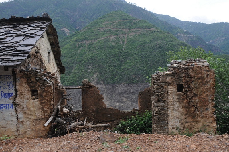
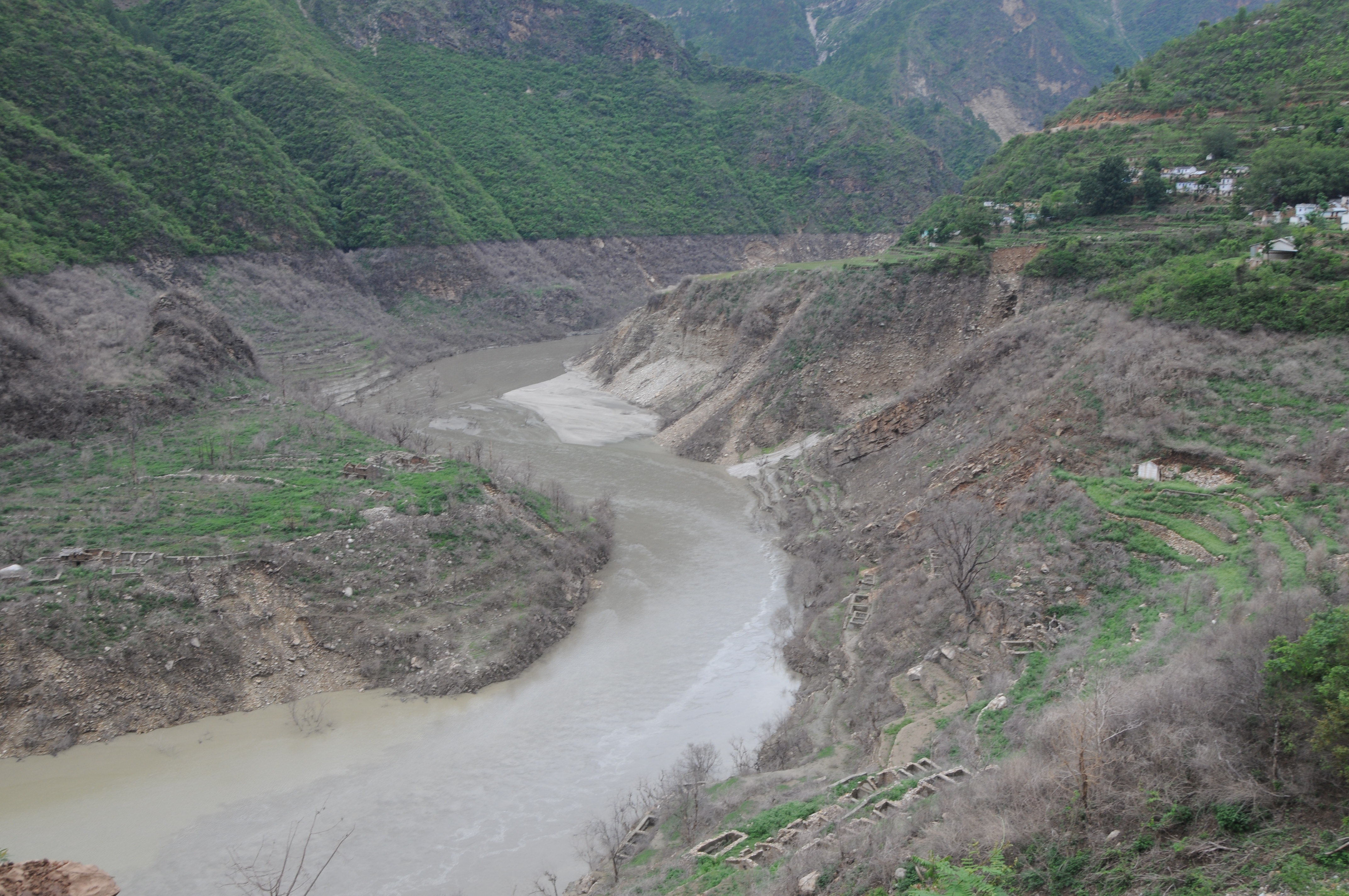
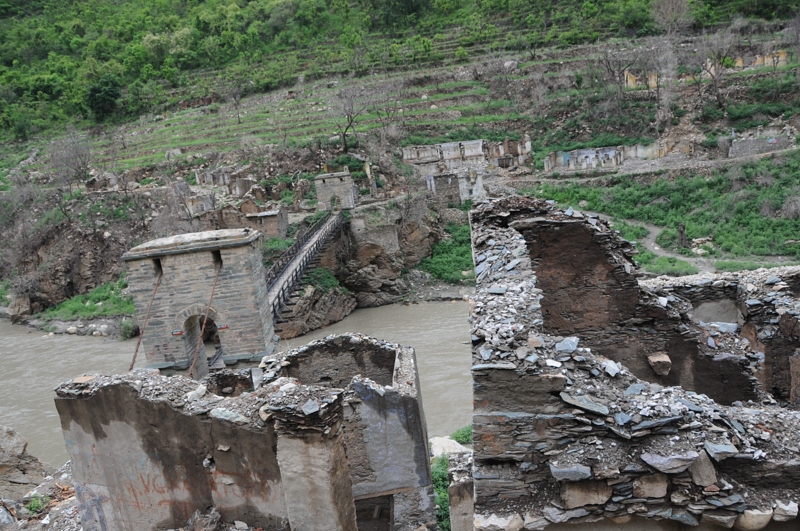
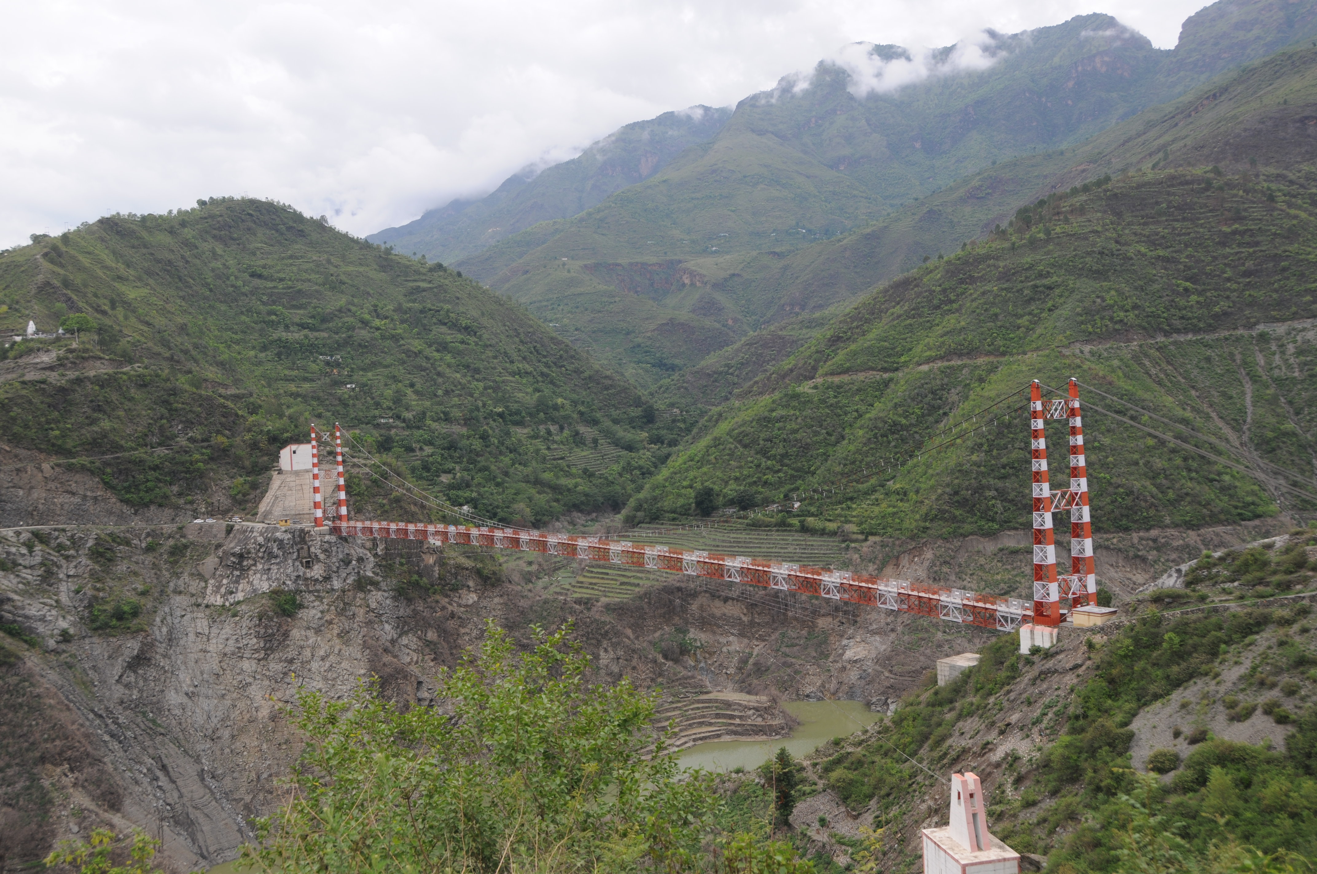
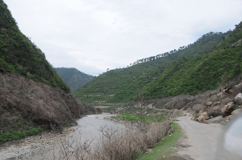
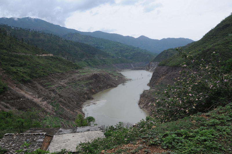
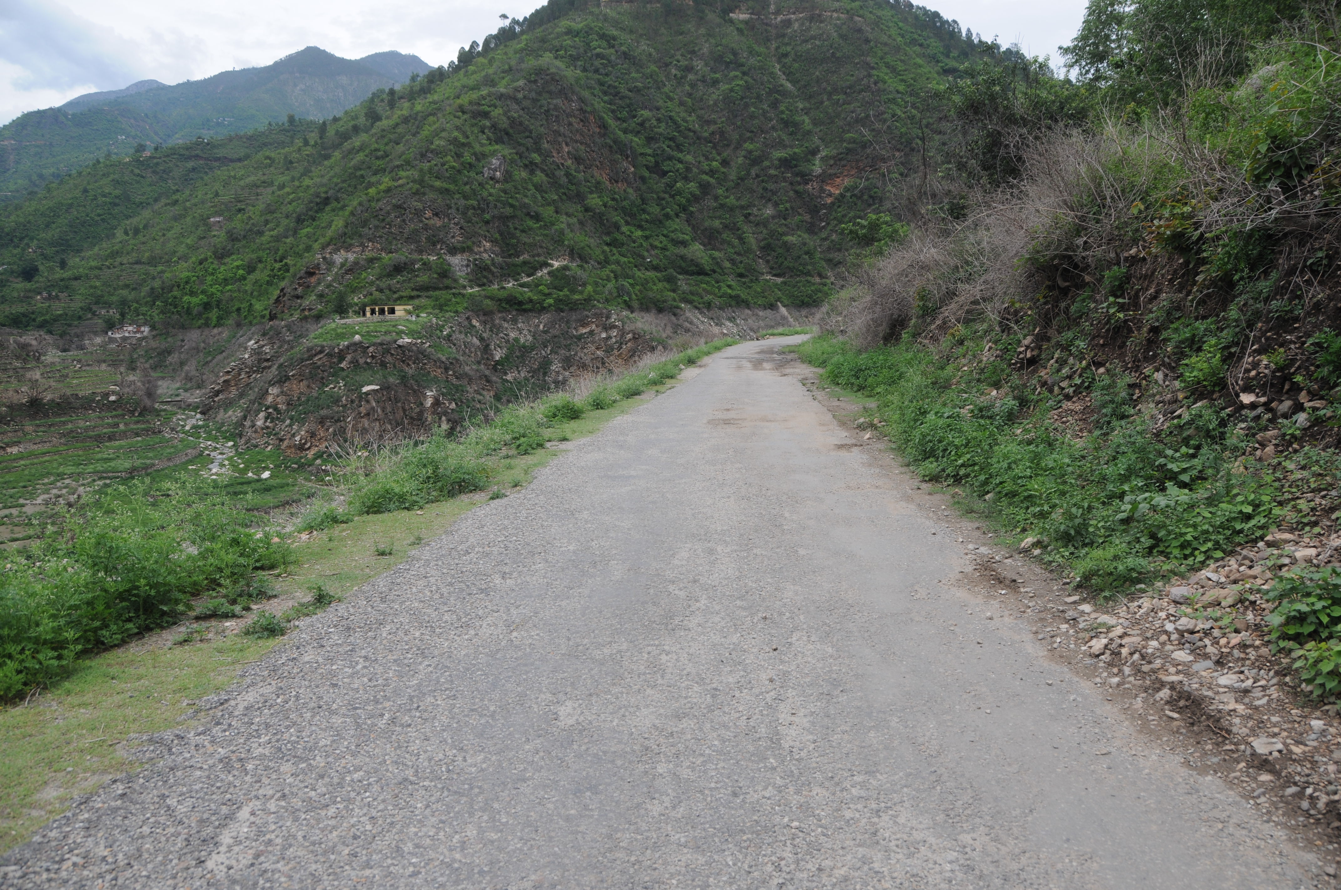
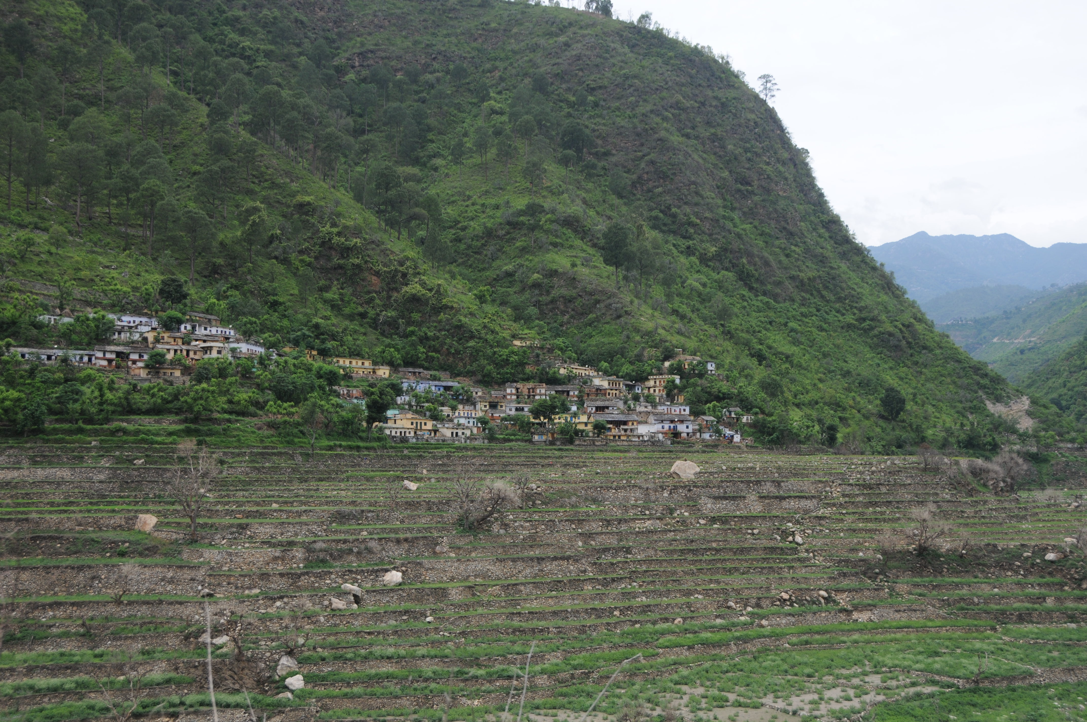
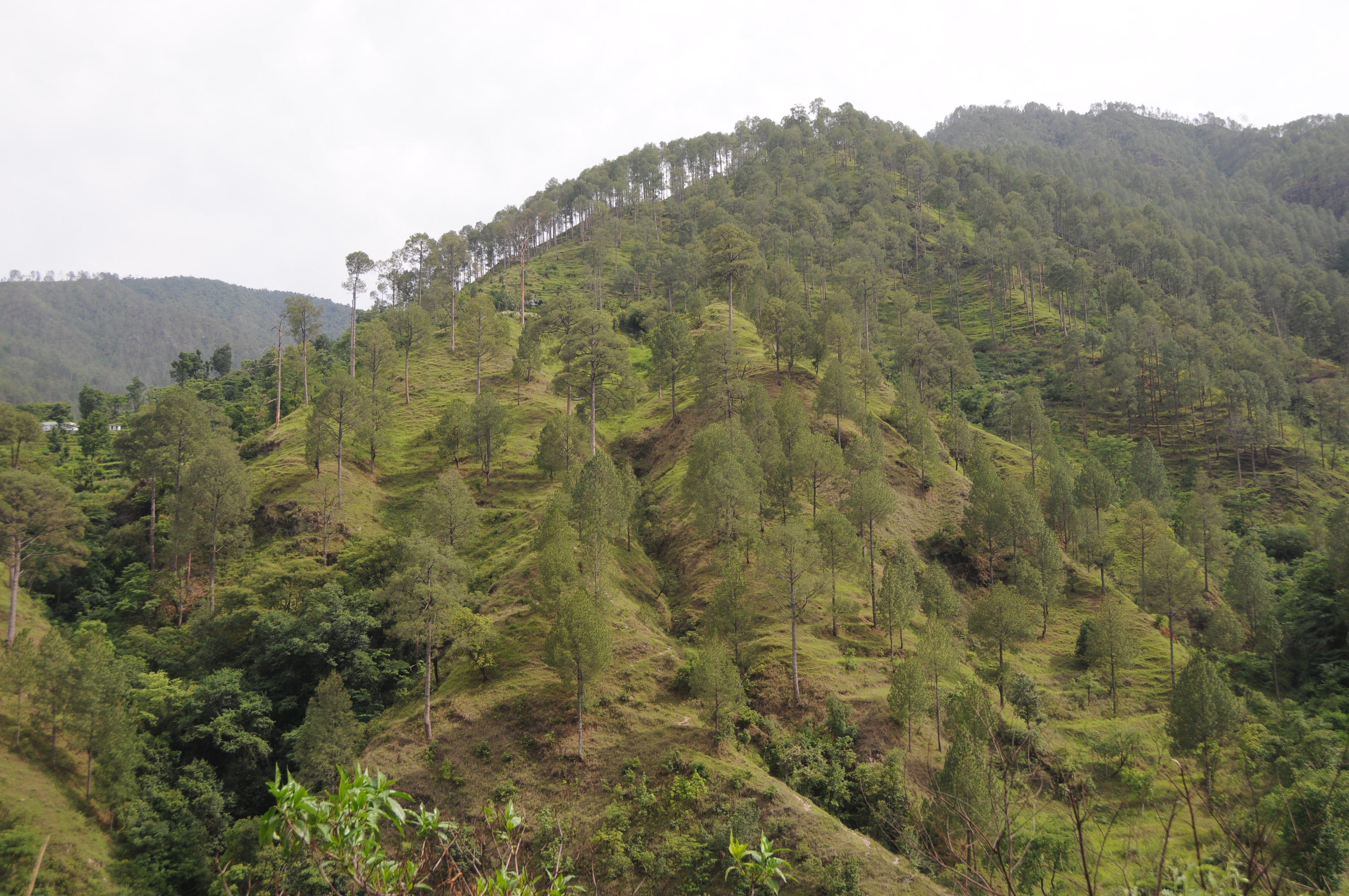
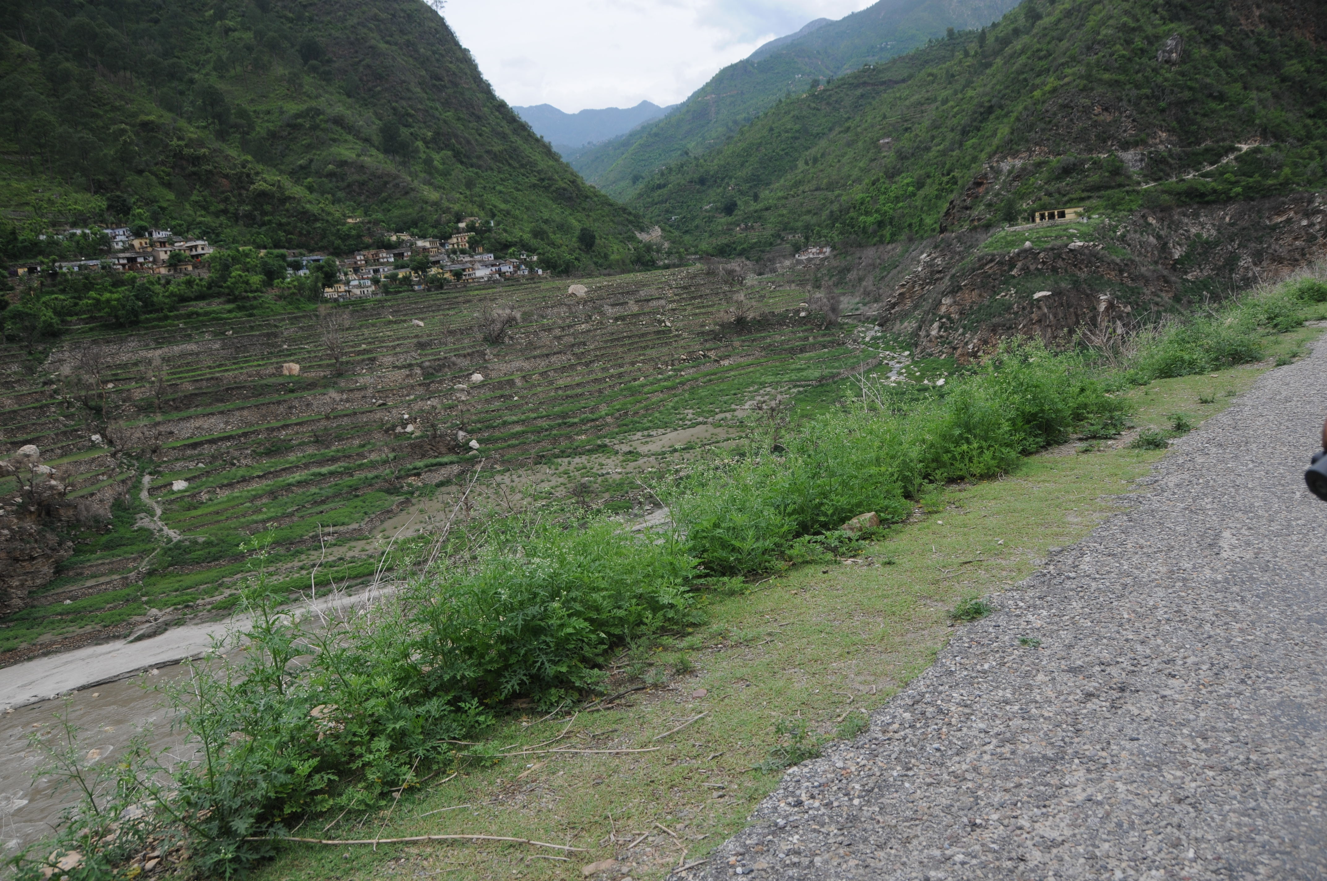
写真
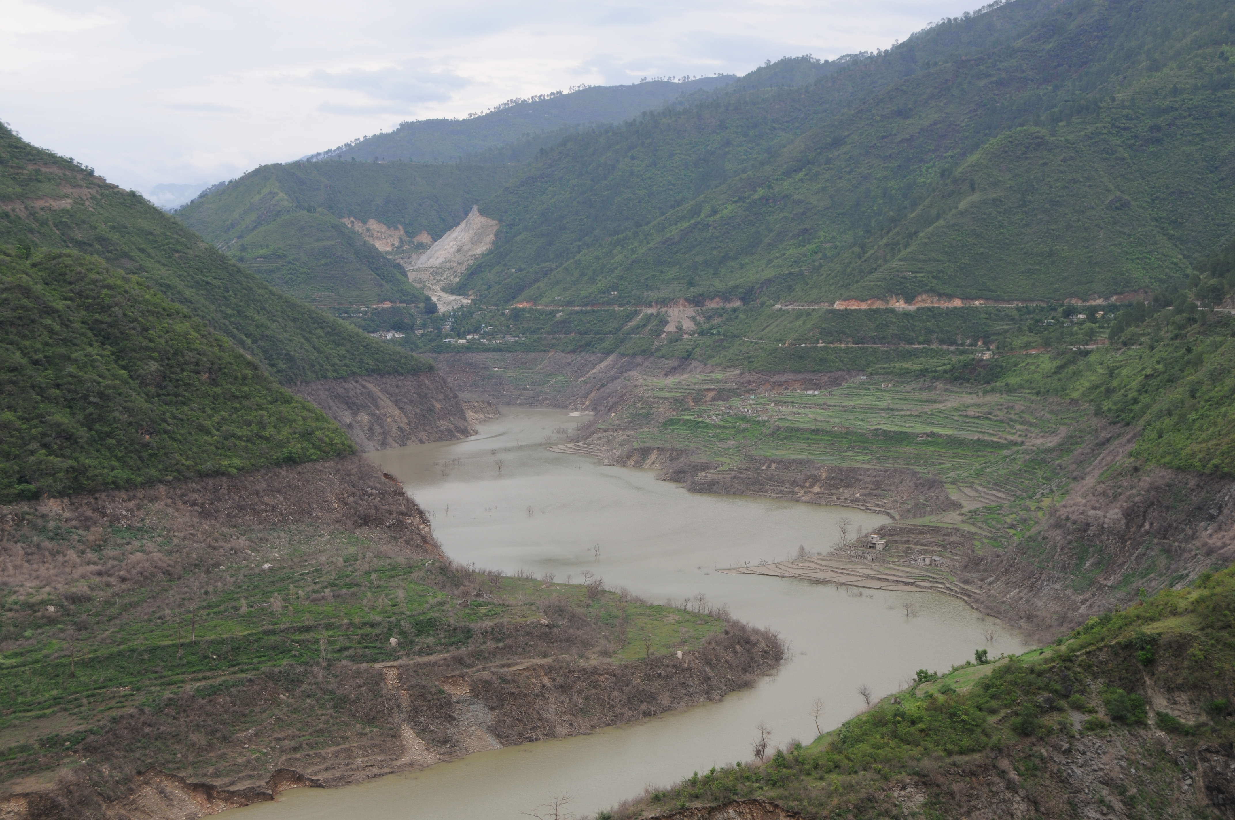
CSP_2905.JPG
Chahgadoliya, UttaraKhand
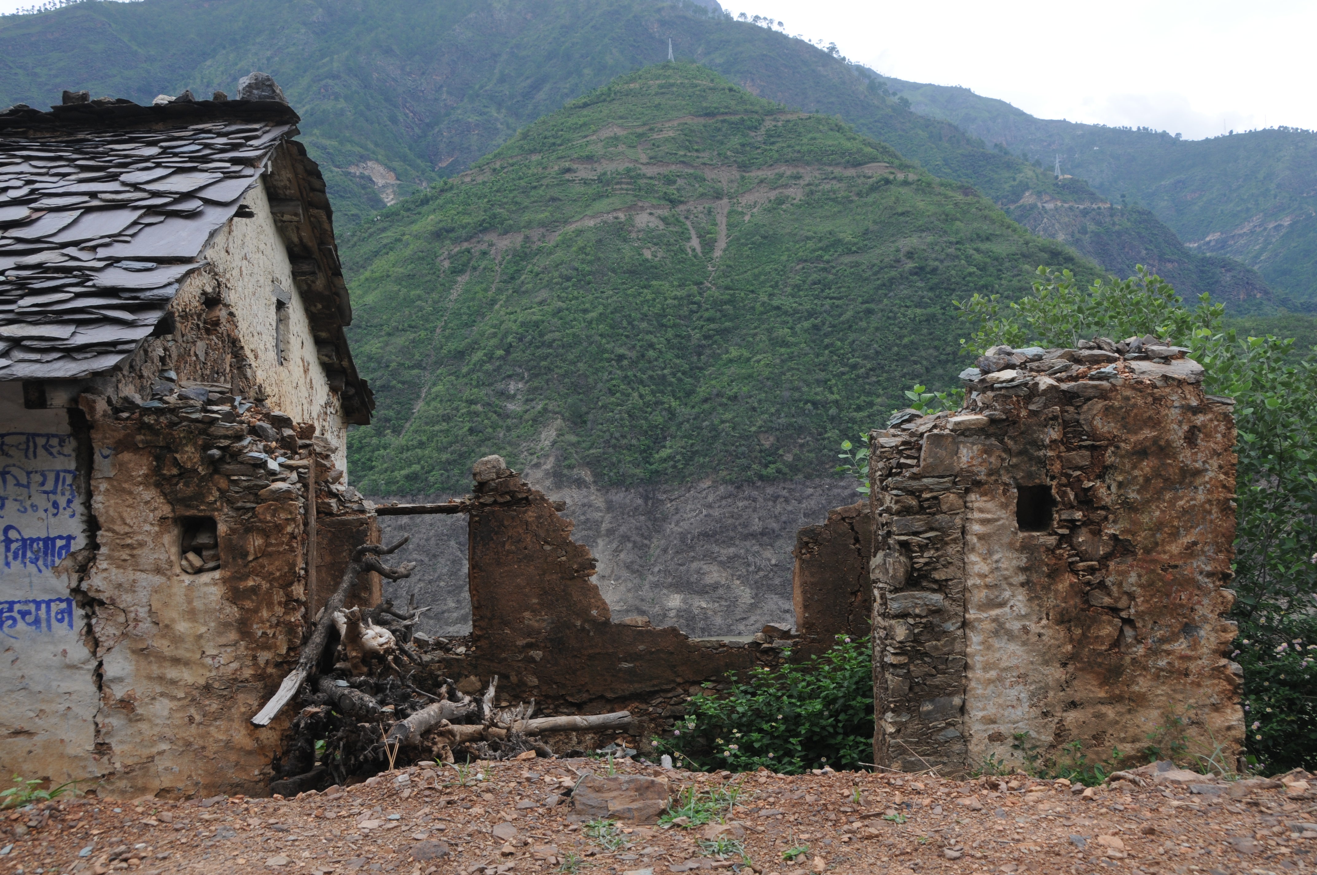
CSP_2912.JPG

Khand, UttaraKhand

CSP_2946.JPG
CSP_2915.JPG
Ghotiwali, Uttarakhand

CSP_2934.JPG
CSP_2904.JPG

CSP_2933.JPG
Ghotiwali, Uttarakhand
Molno Maya Paukhal, UttaraKhand

CSP_2940.JPG

CSP_2925.JPG
CSP_2928.JPG
CSP_2929.JPG
CSP_2945.JPG
CSP_2927.JPG
インド 〒 ウッタランチャル タッティ・ダガーの地図
別の場所を検索
近所の場所
Chandrabadni Track, Jhanau, Uttarakhand インドChandrabadni Mata Temple
インド ウッタランチャル ジャノー
インド 〒 ウッタランチャル ファラシ
インド 〒 ウッタランチャル アンジャニセイン
インド 〒 ウッタランチャル ミューザンキリ
ウッタランチャル ブヒラングナ川
インド ウッタランチャル テイリ・ガーウォール
インド 〒 ウッタランチャル ヒンドラクホール
インド ウッタランチャル パレティ
Jakhnidhar, Uttarakhand インド
インド ウッタランチャル ティブリ
インド 〒 ウッタランチャル ラナコット
インド ウッタランチャル サカニヤニ
Ranakot, Palkot, Uttarakhand インドRanakot Market
Tehri Dam, Uttarakhand インド
インド 〒 ウッタランチャル ビガン
インド ウッタランチャル デバプラヤッグ
インド 〒 ウッタランチャル チャモリ
インド 〒 ウッタランチャル ニュー・テイリ
ウッタランチャル インド
最近の検索
- アメリカ合衆国 アラスカ州 レッド・ドッグ・マイン日の出日の入り時間
- Am bhf, Borken, ドイツアム・バーンホーフ日の出日の入り時間
- 4th St E, Sonoma, CA, USA日の出日の入り時間
- Oakland Ave, Williamsport, PA アメリカ合衆国日の出日の入り時間
- Via Roma, Pieranica CR, イタリアローマ通り日の出日の入り時間
- クロアチア 〒 ドゥブロブニク GradClock Tower of Dubrovnik日の出日の入り時間
- アルゼンチン チュブ州 トレリュー日の出日の入り時間
- Hartfords Bluff Cir, Mt Pleasant, SC アメリカ合衆国日の出日の入り時間
- 日本、熊本県熊本市北区日の出日の入り時間
- 中華人民共和国 福州市 平潭県 平潭島日の出日の入り時間