Benambra-Corryong Rd, Benambra VIC 澳洲的日出日落時間表
Location: 澳洲 > 維多利亞州州 > 澳洲East Gippsland Shire > Benambra VIC 澳洲 >
時區:
Australia/Melbourne
當地時間:
2025-07-03 16:24:25
經度:
147.7052256
緯度:
-36.8569152
今天日出時間:
07:22:35 AM
今天日落時間:
05:04:19 PM
今天日照時長:
9h 41m 44s
明天日出時間:
07:22:27 AM
明天日落時間:
05:04:49 PM
明天日照時長:
9h 42m 22s
顯示所有日期
| 日期 | 日出 | 日落 | 日照時長 |
|---|---|---|---|
| 2025年01月01日 | 05:53:37 AM | 08:31:45 PM | 14h 38m 8s |
| 2025年01月02日 | 05:54:25 AM | 08:31:53 PM | 14h 37m 28s |
| 2025年01月03日 | 05:55:14 AM | 08:32:00 PM | 14h 36m 46s |
| 2025年01月04日 | 05:56:05 AM | 08:32:04 PM | 14h 35m 59s |
| 2025年01月05日 | 05:56:57 AM | 08:32:06 PM | 14h 35m 9s |
| 2025年01月06日 | 05:57:50 AM | 08:32:06 PM | 14h 34m 16s |
| 2025年01月07日 | 05:58:44 AM | 08:32:04 PM | 14h 33m 20s |
| 2025年01月08日 | 05:59:39 AM | 08:31:59 PM | 14h 32m 20s |
| 2025年01月09日 | 06:00:35 AM | 08:31:53 PM | 14h 31m 18s |
| 2025年01月10日 | 06:01:33 AM | 08:31:45 PM | 14h 30m 12s |
| 2025年01月11日 | 06:02:31 AM | 08:31:35 PM | 14h 29m 4s |
| 2025年01月12日 | 06:03:30 AM | 08:31:22 PM | 14h 27m 52s |
| 2025年01月13日 | 06:04:30 AM | 08:31:08 PM | 14h 26m 38s |
| 2025年01月14日 | 06:05:30 AM | 08:30:51 PM | 14h 25m 21s |
| 2025年01月15日 | 06:06:31 AM | 08:30:33 PM | 14h 24m 2s |
| 2025年01月16日 | 06:07:33 AM | 08:30:12 PM | 14h 22m 39s |
| 2025年01月17日 | 06:08:36 AM | 08:29:50 PM | 14h 21m 14s |
| 2025年01月18日 | 06:09:39 AM | 08:29:25 PM | 14h 19m 46s |
| 2025年01月19日 | 06:10:43 AM | 08:28:59 PM | 14h 18m 16s |
| 2025年01月20日 | 06:11:47 AM | 08:28:31 PM | 14h 16m 44s |
| 2025年01月21日 | 06:12:52 AM | 08:28:00 PM | 14h 15m 8s |
| 2025年01月22日 | 06:13:56 AM | 08:27:28 PM | 14h 13m 32s |
| 2025年01月23日 | 06:15:02 AM | 08:26:54 PM | 14h 11m 52s |
| 2025年01月24日 | 06:16:07 AM | 08:26:18 PM | 14h 10m 11s |
| 2025年01月25日 | 06:17:13 AM | 08:25:41 PM | 14h 8m 28s |
| 2025年01月26日 | 06:18:19 AM | 08:25:01 PM | 14h 6m 42s |
| 2025年01月27日 | 06:19:25 AM | 08:24:20 PM | 14h 4m 55s |
| 2025年01月28日 | 06:20:31 AM | 08:23:37 PM | 14h 3m 6s |
| 2025年01月29日 | 06:21:38 AM | 08:22:52 PM | 14h 1m 14s |
| 2025年01月30日 | 06:22:44 AM | 08:22:06 PM | 13h 59m 22s |
| 2025年01月31日 | 06:23:51 AM | 08:21:18 PM | 13h 57m 27s |
| 2025年02月01日 | 06:24:57 AM | 08:20:28 PM | 13h 55m 31s |
| 2025年02月02日 | 06:26:03 AM | 08:19:37 PM | 13h 53m 34s |
| 2025年02月03日 | 06:27:10 AM | 08:18:44 PM | 13h 51m 34s |
| 2025年02月04日 | 06:28:16 AM | 08:17:50 PM | 13h 49m 34s |
| 2025年02月05日 | 06:29:22 AM | 08:16:54 PM | 13h 47m 32s |
| 2025年02月06日 | 06:30:28 AM | 08:15:57 PM | 13h 45m 29s |
| 2025年02月07日 | 06:31:34 AM | 08:14:58 PM | 13h 43m 24s |
| 2025年02月08日 | 06:32:39 AM | 08:13:58 PM | 13h 41m 19s |
| 2025年02月09日 | 06:33:45 AM | 08:12:56 PM | 13h 39m 11s |
| 2025年02月10日 | 06:34:50 AM | 08:11:54 PM | 13h 37m 4s |
| 2025年02月11日 | 06:35:55 AM | 08:10:50 PM | 13h 34m 55s |
| 2025年02月12日 | 06:36:59 AM | 08:09:44 PM | 13h 32m 45s |
| 2025年02月13日 | 06:38:04 AM | 08:08:38 PM | 13h 30m 34s |
| 2025年02月14日 | 06:39:08 AM | 08:07:30 PM | 13h 28m 22s |
| 2025年02月15日 | 06:40:11 AM | 08:06:21 PM | 13h 26m 10s |
| 2025年02月16日 | 06:41:15 AM | 08:05:11 PM | 13h 23m 56s |
| 2025年02月17日 | 06:42:18 AM | 08:04:00 PM | 13h 21m 42s |
| 2025年02月18日 | 06:43:21 AM | 08:02:47 PM | 13h 19m 26s |
| 2025年02月19日 | 06:44:23 AM | 08:01:34 PM | 13h 17m 11s |
| 2025年02月20日 | 06:45:25 AM | 08:00:20 PM | 13h 14m 55s |
| 2025年02月21日 | 06:46:27 AM | 07:59:05 PM | 13h 12m 38s |
| 2025年02月22日 | 06:47:28 AM | 07:57:49 PM | 13h 10m 21s |
| 2025年02月23日 | 06:48:29 AM | 07:56:32 PM | 13h 8m 3s |
| 2025年02月24日 | 06:49:30 AM | 07:55:14 PM | 13h 5m 44s |
| 2025年02月25日 | 06:50:30 AM | 07:53:55 PM | 13h 3m 25s |
| 2025年02月26日 | 06:51:30 AM | 07:52:35 PM | 13h 1m 5s |
| 2025年02月27日 | 06:52:30 AM | 07:51:15 PM | 12h 58m 45s |
| 2025年02月28日 | 06:53:29 AM | 07:49:54 PM | 12h 56m 25s |
| 2025年03月01日 | 06:54:28 AM | 07:48:33 PM | 12h 54m 5s |
| 2025年03月02日 | 06:55:26 AM | 07:47:10 PM | 12h 51m 44s |
| 2025年03月03日 | 06:56:24 AM | 07:45:47 PM | 12h 49m 23s |
| 2025年03月04日 | 06:57:22 AM | 07:44:24 PM | 12h 47m 2s |
| 2025年03月05日 | 06:58:20 AM | 07:43:00 PM | 12h 44m 40s |
| 2025年03月06日 | 06:59:17 AM | 07:41:35 PM | 12h 42m 18s |
| 2025年03月07日 | 07:00:14 AM | 07:40:10 PM | 12h 39m 56s |
| 2025年03月08日 | 07:01:10 AM | 07:38:44 PM | 12h 37m 34s |
| 2025年03月09日 | 07:02:07 AM | 07:37:18 PM | 12h 35m 11s |
| 2025年03月10日 | 07:03:03 AM | 07:35:52 PM | 12h 32m 49s |
| 2025年03月11日 | 07:03:58 AM | 07:34:25 PM | 12h 30m 27s |
| 2025年03月12日 | 07:04:54 AM | 07:32:58 PM | 12h 28m 4s |
| 2025年03月13日 | 07:05:49 AM | 07:31:30 PM | 12h 25m 41s |
| 2025年03月14日 | 07:06:44 AM | 07:30:03 PM | 12h 23m 19s |
| 2025年03月15日 | 07:07:38 AM | 07:28:35 PM | 12h 20m 57s |
| 2025年03月16日 | 07:08:33 AM | 07:27:06 PM | 12h 18m 33s |
| 2025年03月17日 | 07:09:27 AM | 07:25:38 PM | 12h 16m 11s |
| 2025年03月18日 | 07:10:21 AM | 07:24:09 PM | 12h 13m 48s |
| 2025年03月19日 | 07:11:15 AM | 07:22:41 PM | 12h 11m 26s |
| 2025年03月20日 | 07:12:08 AM | 07:21:12 PM | 12h 9m 4s |
| 2025年03月21日 | 07:13:01 AM | 07:19:43 PM | 12h 6m 42s |
| 2025年03月22日 | 07:13:55 AM | 07:18:14 PM | 12h 4m 19s |
| 2025年03月23日 | 07:14:48 AM | 07:16:45 PM | 12h 1m 57s |
| 2025年03月24日 | 07:15:40 AM | 07:15:16 PM | 11h 59m 36s |
| 2025年03月25日 | 07:16:33 AM | 07:13:47 PM | 11h 57m 14s |
| 2025年03月26日 | 07:17:26 AM | 07:12:18 PM | 11h 54m 52s |
| 2025年03月27日 | 07:18:18 AM | 07:10:50 PM | 11h 52m 32s |
| 2025年03月28日 | 07:19:11 AM | 07:09:21 PM | 11h 50m 10s |
| 2025年03月29日 | 07:20:03 AM | 07:07:53 PM | 11h 47m 50s |
| 2025年03月30日 | 07:20:55 AM | 07:06:24 PM | 11h 45m 29s |
| 2025年03月31日 | 07:21:47 AM | 07:04:56 PM | 11h 43m 9s |
| 2025年04月01日 | 07:22:39 AM | 07:03:29 PM | 11h 40m 50s |
| 2025年04月02日 | 07:23:31 AM | 07:02:01 PM | 11h 38m 30s |
| 2025年04月03日 | 07:24:23 AM | 07:00:34 PM | 11h 36m 11s |
| 2025年04月04日 | 07:25:15 AM | 06:59:07 PM | 11h 33m 52s |
| 2025年04月05日 | 07:26:07 AM | 06:57:41 PM | 11h 31m 34s |
| 2025年04月06日 | 06:27:01 AM | 05:56:11 PM | 11h 29m 10s |
| 2025年04月06日 | 06:27:01 AM | 05:56:11 PM | 11h 29m 10s |
| 2025年04月07日 | 06:27:53 AM | 05:54:46 PM | 11h 26m 53s |
| 2025年04月08日 | 06:28:44 AM | 05:53:21 PM | 11h 24m 37s |
| 2025年04月09日 | 06:29:36 AM | 05:51:56 PM | 11h 22m 20s |
| 2025年04月10日 | 06:30:28 AM | 05:50:32 PM | 11h 20m 4s |
| 2025年04月11日 | 06:31:20 AM | 05:49:08 PM | 11h 17m 48s |
| 2025年04月12日 | 06:32:12 AM | 05:47:45 PM | 11h 15m 33s |
| 2025年04月13日 | 06:33:03 AM | 05:46:23 PM | 11h 13m 20s |
| 2025年04月14日 | 06:33:55 AM | 05:45:01 PM | 11h 11m 6s |
| 2025年04月15日 | 06:34:47 AM | 05:43:40 PM | 11h 8m 53s |
| 2025年04月16日 | 06:35:39 AM | 05:42:20 PM | 11h 6m 41s |
| 2025年04月17日 | 06:36:31 AM | 05:41:00 PM | 11h 4m 29s |
| 2025年04月18日 | 06:37:23 AM | 05:39:41 PM | 11h 2m 18s |
| 2025年04月19日 | 06:38:15 AM | 05:38:23 PM | 11h 0m 8s |
| 2025年04月20日 | 06:39:06 AM | 05:37:06 PM | 10h 58m 0s |
| 2025年04月21日 | 06:39:58 AM | 05:35:49 PM | 10h 55m 51s |
| 2025年04月22日 | 06:40:50 AM | 05:34:34 PM | 10h 53m 44s |
| 2025年04月23日 | 06:41:42 AM | 05:33:19 PM | 10h 51m 37s |
| 2025年04月24日 | 06:42:34 AM | 05:32:05 PM | 10h 49m 31s |
| 2025年04月25日 | 06:43:26 AM | 05:30:52 PM | 10h 47m 26s |
| 2025年04月26日 | 06:44:18 AM | 05:29:40 PM | 10h 45m 22s |
| 2025年04月27日 | 06:45:10 AM | 05:28:29 PM | 10h 43m 19s |
| 2025年04月28日 | 06:46:02 AM | 05:27:19 PM | 10h 41m 17s |
| 2025年04月29日 | 06:46:54 AM | 05:26:11 PM | 10h 39m 17s |
| 2025年04月30日 | 06:47:46 AM | 05:25:03 PM | 10h 37m 17s |
| 2025年05月01日 | 06:48:38 AM | 05:23:56 PM | 10h 35m 18s |
| 2025年05月02日 | 06:49:29 AM | 05:22:51 PM | 10h 33m 22s |
| 2025年05月03日 | 06:50:21 AM | 05:21:47 PM | 10h 31m 26s |
| 2025年05月04日 | 06:51:13 AM | 05:20:44 PM | 10h 29m 31s |
| 2025年05月05日 | 06:52:04 AM | 05:19:42 PM | 10h 27m 38s |
| 2025年05月06日 | 06:52:55 AM | 05:18:41 PM | 10h 25m 46s |
| 2025年05月07日 | 06:53:47 AM | 05:17:42 PM | 10h 23m 55s |
| 2025年05月08日 | 06:54:38 AM | 05:16:44 PM | 10h 22m 6s |
| 2025年05月09日 | 06:55:28 AM | 05:15:47 PM | 10h 20m 19s |
| 2025年05月10日 | 06:56:19 AM | 05:14:52 PM | 10h 18m 33s |
| 2025年05月11日 | 06:57:09 AM | 05:13:58 PM | 10h 16m 49s |
| 2025年05月12日 | 06:57:59 AM | 05:13:05 PM | 10h 15m 6s |
| 2025年05月13日 | 06:58:49 AM | 05:12:14 PM | 10h 13m 25s |
| 2025年05月14日 | 06:59:39 AM | 05:11:25 PM | 10h 11m 46s |
| 2025年05月15日 | 07:00:28 AM | 05:10:36 PM | 10h 10m 8s |
| 2025年05月16日 | 07:01:17 AM | 05:09:50 PM | 10h 8m 33s |
| 2025年05月17日 | 07:02:05 AM | 05:09:04 PM | 10h 6m 59s |
| 2025年05月18日 | 07:02:53 AM | 05:08:21 PM | 10h 5m 28s |
| 2025年05月19日 | 07:03:41 AM | 05:07:39 PM | 10h 3m 58s |
| 2025年05月20日 | 07:04:28 AM | 05:06:58 PM | 10h 2m 30s |
| 2025年05月21日 | 07:05:14 AM | 05:06:19 PM | 10h 1m 5s |
| 2025年05月22日 | 07:06:01 AM | 05:05:42 PM | 9h 59m 41s |
| 2025年05月23日 | 07:06:46 AM | 05:05:06 PM | 9h 58m 20s |
| 2025年05月24日 | 07:07:31 AM | 05:04:32 PM | 9h 57m 1s |
| 2025年05月25日 | 07:08:15 AM | 05:03:59 PM | 9h 55m 44s |
| 2025年05月26日 | 07:08:59 AM | 05:03:28 PM | 9h 54m 29s |
| 2025年05月27日 | 07:09:42 AM | 05:02:59 PM | 9h 53m 17s |
| 2025年05月28日 | 07:10:24 AM | 05:02:32 PM | 9h 52m 8s |
| 2025年05月29日 | 07:11:05 AM | 05:02:06 PM | 9h 51m 1s |
| 2025年05月30日 | 07:11:46 AM | 05:01:42 PM | 9h 49m 56s |
| 2025年05月31日 | 07:12:25 AM | 05:01:19 PM | 9h 48m 54s |
| 2025年06月01日 | 07:13:04 AM | 05:00:59 PM | 9h 47m 55s |
| 2025年06月02日 | 07:13:42 AM | 05:00:40 PM | 9h 46m 58s |
| 2025年06月03日 | 07:14:19 AM | 05:00:22 PM | 9h 46m 3s |
| 2025年06月04日 | 07:14:55 AM | 05:00:07 PM | 9h 45m 12s |
| 2025年06月05日 | 07:15:30 AM | 04:59:53 PM | 9h 44m 23s |
| 2025年06月06日 | 07:16:03 AM | 04:59:41 PM | 9h 43m 38s |
| 2025年06月07日 | 07:16:36 AM | 04:59:30 PM | 9h 42m 54s |
| 2025年06月08日 | 07:17:08 AM | 04:59:22 PM | 9h 42m 14s |
| 2025年06月09日 | 07:17:38 AM | 04:59:15 PM | 9h 41m 37s |
| 2025年06月10日 | 07:18:07 AM | 04:59:09 PM | 9h 41m 2s |
| 2025年06月11日 | 07:18:35 AM | 04:59:06 PM | 9h 40m 31s |
| 2025年06月12日 | 07:19:02 AM | 04:59:04 PM | 9h 40m 2s |
| 2025年06月13日 | 07:19:27 AM | 04:59:03 PM | 9h 39m 36s |
| 2025年06月14日 | 07:19:51 AM | 04:59:05 PM | 9h 39m 14s |
| 2025年06月15日 | 07:20:14 AM | 04:59:08 PM | 9h 38m 54s |
| 2025年06月16日 | 07:20:35 AM | 04:59:12 PM | 9h 38m 37s |
| 2025年06月17日 | 07:20:54 AM | 04:59:18 PM | 9h 38m 24s |
| 2025年06月18日 | 07:21:13 AM | 04:59:26 PM | 9h 38m 13s |
| 2025年06月19日 | 07:21:30 AM | 04:59:36 PM | 9h 38m 6s |
| 2025年06月20日 | 07:21:45 AM | 04:59:46 PM | 9h 38m 1s |
| 2025年06月21日 | 07:21:59 AM | 04:59:59 PM | 9h 38m 0s |
| 2025年06月22日 | 07:22:11 AM | 05:00:13 PM | 9h 38m 2s |
| 2025年06月23日 | 07:22:21 AM | 05:00:28 PM | 9h 38m 7s |
| 2025年06月24日 | 07:22:30 AM | 05:00:45 PM | 9h 38m 15s |
| 2025年06月25日 | 07:22:38 AM | 05:01:03 PM | 9h 38m 25s |
| 2025年06月26日 | 07:22:43 AM | 05:01:23 PM | 9h 38m 40s |
| 2025年06月27日 | 07:22:47 AM | 05:01:44 PM | 9h 38m 57s |
| 2025年06月28日 | 07:22:50 AM | 05:02:06 PM | 9h 39m 16s |
| 2025年06月29日 | 07:22:50 AM | 05:02:30 PM | 9h 39m 40s |
| 2025年06月30日 | 07:22:49 AM | 05:02:55 PM | 9h 40m 6s |
| 2025年07月01日 | 07:22:47 AM | 05:03:21 PM | 9h 40m 34s |
| 2025年07月02日 | 07:22:42 AM | 05:03:48 PM | 9h 41m 6s |
| 2025年07月03日 | 07:22:36 AM | 05:04:17 PM | 9h 41m 41s |
| 2025年07月04日 | 07:22:28 AM | 05:04:46 PM | 9h 42m 18s |
| 2025年07月05日 | 07:22:18 AM | 05:05:17 PM | 9h 42m 59s |
| 2025年07月06日 | 07:22:07 AM | 05:05:49 PM | 9h 43m 42s |
| 2025年07月07日 | 07:21:54 AM | 05:06:22 PM | 9h 44m 28s |
| 2025年07月08日 | 07:21:39 AM | 05:06:55 PM | 9h 45m 16s |
| 2025年07月09日 | 07:21:22 AM | 05:07:30 PM | 9h 46m 8s |
| 2025年07月10日 | 07:21:03 AM | 05:08:06 PM | 9h 47m 3s |
| 2025年07月11日 | 07:20:43 AM | 05:08:42 PM | 9h 47m 59s |
| 2025年07月12日 | 07:20:21 AM | 05:09:20 PM | 9h 48m 59s |
| 2025年07月13日 | 07:19:57 AM | 05:09:58 PM | 9h 50m 1s |
| 2025年07月14日 | 07:19:32 AM | 05:10:37 PM | 9h 51m 5s |
| 2025年07月15日 | 07:19:05 AM | 05:11:17 PM | 9h 52m 12s |
| 2025年07月16日 | 07:18:36 AM | 05:11:57 PM | 9h 53m 21s |
| 2025年07月17日 | 07:18:05 AM | 05:12:38 PM | 9h 54m 33s |
| 2025年07月18日 | 07:17:33 AM | 05:13:20 PM | 9h 55m 47s |
| 2025年07月19日 | 07:16:59 AM | 05:14:02 PM | 9h 57m 3s |
| 2025年07月20日 | 07:16:23 AM | 05:14:45 PM | 9h 58m 22s |
| 2025年07月21日 | 07:15:46 AM | 05:15:29 PM | 9h 59m 43s |
| 2025年07月22日 | 07:15:07 AM | 05:16:13 PM | 10h 1m 6s |
| 2025年07月23日 | 07:14:27 AM | 05:16:57 PM | 10h 2m 30s |
| 2025年07月24日 | 07:13:44 AM | 05:17:42 PM | 10h 3m 58s |
| 2025年07月25日 | 07:13:01 AM | 05:18:27 PM | 10h 5m 26s |
| 2025年07月26日 | 07:12:15 AM | 05:19:13 PM | 10h 6m 58s |
| 2025年07月27日 | 07:11:29 AM | 05:19:58 PM | 10h 8m 29s |
| 2025年07月28日 | 07:10:40 AM | 05:20:45 PM | 10h 10m 5s |
| 2025年07月29日 | 07:09:50 AM | 05:21:31 PM | 10h 11m 41s |
| 2025年07月30日 | 07:08:59 AM | 05:22:18 PM | 10h 13m 19s |
| 2025年07月31日 | 07:08:06 AM | 05:23:05 PM | 10h 14m 59s |
| 2025年08月01日 | 07:07:12 AM | 05:23:52 PM | 10h 16m 40s |
| 2025年08月02日 | 07:06:16 AM | 05:24:40 PM | 10h 18m 24s |
| 2025年08月03日 | 07:05:19 AM | 05:25:28 PM | 10h 20m 9s |
| 2025年08月04日 | 07:04:21 AM | 05:26:15 PM | 10h 21m 54s |
| 2025年08月05日 | 07:03:21 AM | 05:27:03 PM | 10h 23m 42s |
| 2025年08月06日 | 07:02:20 AM | 05:27:51 PM | 10h 25m 31s |
| 2025年08月07日 | 07:01:18 AM | 05:28:40 PM | 10h 27m 22s |
| 2025年08月08日 | 07:00:14 AM | 05:29:28 PM | 10h 29m 14s |
| 2025年08月09日 | 06:59:09 AM | 05:30:16 PM | 10h 31m 7s |
| 2025年08月10日 | 06:58:03 AM | 05:31:04 PM | 10h 33m 1s |
| 2025年08月11日 | 06:56:56 AM | 05:31:53 PM | 10h 34m 57s |
| 2025年08月12日 | 06:55:48 AM | 05:32:41 PM | 10h 36m 53s |
| 2025年08月13日 | 06:54:38 AM | 05:33:30 PM | 10h 38m 52s |
| 2025年08月14日 | 06:53:28 AM | 05:34:18 PM | 10h 40m 50s |
| 2025年08月15日 | 06:52:16 AM | 05:35:06 PM | 10h 42m 50s |
| 2025年08月16日 | 06:51:03 AM | 05:35:55 PM | 10h 44m 52s |
| 2025年08月17日 | 06:49:50 AM | 05:36:43 PM | 10h 46m 53s |
| 2025年08月18日 | 06:48:35 AM | 05:37:31 PM | 10h 48m 56s |
| 2025年08月19日 | 06:47:19 AM | 05:38:20 PM | 10h 51m 1s |
| 2025年08月20日 | 06:46:03 AM | 05:39:08 PM | 10h 53m 5s |
| 2025年08月21日 | 06:44:45 AM | 05:39:56 PM | 10h 55m 11s |
| 2025年08月22日 | 06:43:27 AM | 05:40:44 PM | 10h 57m 17s |
| 2025年08月23日 | 06:42:08 AM | 05:41:32 PM | 10h 59m 24s |
| 2025年08月24日 | 06:40:48 AM | 05:42:20 PM | 11h 1m 32s |
| 2025年08月25日 | 06:39:27 AM | 05:43:08 PM | 11h 3m 41s |
| 2025年08月26日 | 06:38:05 AM | 05:43:56 PM | 11h 5m 51s |
| 2025年08月27日 | 06:36:43 AM | 05:44:44 PM | 11h 8m 1s |
| 2025年08月28日 | 06:35:20 AM | 05:45:32 PM | 11h 10m 12s |
| 2025年08月29日 | 06:33:56 AM | 05:46:20 PM | 11h 12m 24s |
| 2025年08月30日 | 06:32:32 AM | 05:47:07 PM | 11h 14m 35s |
| 2025年08月31日 | 06:31:07 AM | 05:47:55 PM | 11h 16m 48s |
| 2025年09月01日 | 06:29:42 AM | 05:48:43 PM | 11h 19m 1s |
| 2025年09月02日 | 06:28:15 AM | 05:49:30 PM | 11h 21m 15s |
| 2025年09月03日 | 06:26:49 AM | 05:50:18 PM | 11h 23m 29s |
| 2025年09月04日 | 06:25:22 AM | 05:51:05 PM | 11h 25m 43s |
| 2025年09月05日 | 06:23:54 AM | 05:51:53 PM | 11h 27m 59s |
| 2025年09月06日 | 06:22:26 AM | 05:52:41 PM | 11h 30m 15s |
| 2025年09月07日 | 06:20:58 AM | 05:53:28 PM | 11h 32m 30s |
| 2025年09月08日 | 06:19:29 AM | 05:54:16 PM | 11h 34m 47s |
| 2025年09月09日 | 06:18:00 AM | 05:55:03 PM | 11h 37m 3s |
| 2025年09月10日 | 06:16:30 AM | 05:55:51 PM | 11h 39m 21s |
| 2025年09月11日 | 06:15:01 AM | 05:56:38 PM | 11h 41m 37s |
| 2025年09月12日 | 06:13:30 AM | 05:57:26 PM | 11h 43m 56s |
| 2025年09月13日 | 06:12:00 AM | 05:58:14 PM | 11h 46m 14s |
| 2025年09月14日 | 06:10:30 AM | 05:59:02 PM | 11h 48m 32s |
| 2025年09月15日 | 06:08:59 AM | 05:59:50 PM | 11h 50m 51s |
| 2025年09月16日 | 06:07:28 AM | 06:00:38 PM | 11h 53m 10s |
| 2025年09月17日 | 06:05:57 AM | 06:01:26 PM | 11h 55m 29s |
| 2025年09月18日 | 06:04:26 AM | 06:02:14 PM | 11h 57m 48s |
| 2025年09月19日 | 06:02:55 AM | 06:03:02 PM | 12h 0m 7s |
| 2025年09月20日 | 06:01:24 AM | 06:03:51 PM | 12h 2m 27s |
| 2025年09月21日 | 05:59:52 AM | 06:04:39 PM | 12h 4m 47s |
| 2025年09月22日 | 05:58:21 AM | 06:05:28 PM | 12h 7m 7s |
| 2025年09月23日 | 05:56:50 AM | 06:06:17 PM | 12h 9m 27s |
| 2025年09月24日 | 05:55:19 AM | 06:07:06 PM | 12h 11m 47s |
| 2025年09月25日 | 05:53:48 AM | 06:07:55 PM | 12h 14m 7s |
| 2025年09月26日 | 05:52:17 AM | 06:08:45 PM | 12h 16m 28s |
| 2025年09月27日 | 05:50:47 AM | 06:09:35 PM | 12h 18m 48s |
| 2025年09月28日 | 05:49:16 AM | 06:10:25 PM | 12h 21m 9s |
| 2025年09月29日 | 05:47:46 AM | 06:11:15 PM | 12h 23m 29s |
| 2025年09月30日 | 05:46:16 AM | 06:12:05 PM | 12h 25m 49s |
| 2025年10月01日 | 05:44:46 AM | 06:12:56 PM | 12h 28m 10s |
| 2025年10月02日 | 05:43:17 AM | 06:13:47 PM | 12h 30m 30s |
| 2025年10月03日 | 05:41:48 AM | 06:14:38 PM | 12h 32m 50s |
| 2025年10月04日 | 05:40:19 AM | 06:15:30 PM | 12h 35m 11s |
| 2025年10月06日 | 06:37:26 AM | 07:17:12 PM | 12h 39m 46s |
| 2025年10月07日 | 06:35:59 AM | 07:18:04 PM | 12h 42m 5s |
| 2025年10月08日 | 06:34:32 AM | 07:18:57 PM | 12h 44m 25s |
| 2025年10月09日 | 06:33:06 AM | 07:19:50 PM | 12h 46m 44s |
| 2025年10月10日 | 06:31:40 AM | 07:20:44 PM | 12h 49m 4s |
| 2025年10月11日 | 06:30:14 AM | 07:21:37 PM | 12h 51m 23s |
| 2025年10月12日 | 06:28:50 AM | 07:22:32 PM | 12h 53m 42s |
| 2025年10月13日 | 06:27:26 AM | 07:23:26 PM | 12h 56m 0s |
| 2025年10月14日 | 06:26:02 AM | 07:24:21 PM | 12h 58m 19s |
| 2025年10月15日 | 06:24:40 AM | 07:25:17 PM | 13h 0m 37s |
| 2025年10月16日 | 06:23:18 AM | 07:26:12 PM | 13h 2m 54s |
| 2025年10月17日 | 06:21:57 AM | 07:27:08 PM | 13h 5m 11s |
| 2025年10月18日 | 06:20:37 AM | 07:28:05 PM | 13h 7m 28s |
| 2025年10月19日 | 06:19:17 AM | 07:29:02 PM | 13h 9m 45s |
| 2025年10月20日 | 06:17:59 AM | 07:29:59 PM | 13h 12m 0s |
| 2025年10月21日 | 06:16:41 AM | 07:30:56 PM | 13h 14m 15s |
| 2025年10月22日 | 06:15:24 AM | 07:31:54 PM | 13h 16m 30s |
| 2025年10月23日 | 06:14:09 AM | 07:32:53 PM | 13h 18m 44s |
| 2025年10月24日 | 06:12:54 AM | 07:33:51 PM | 13h 20m 57s |
| 2025年10月25日 | 06:11:40 AM | 07:34:51 PM | 13h 23m 11s |
| 2025年10月26日 | 06:10:28 AM | 07:35:50 PM | 13h 25m 22s |
| 2025年10月27日 | 06:09:16 AM | 07:36:50 PM | 13h 27m 34s |
| 2025年10月28日 | 06:08:06 AM | 07:37:50 PM | 13h 29m 44s |
| 2025年10月29日 | 06:06:57 AM | 07:38:50 PM | 13h 31m 53s |
| 2025年10月30日 | 06:05:49 AM | 07:39:51 PM | 13h 34m 2s |
| 2025年10月31日 | 06:04:42 AM | 07:40:52 PM | 13h 36m 10s |
| 2025年11月01日 | 06:03:37 AM | 07:41:54 PM | 13h 38m 17s |
| 2025年11月02日 | 06:02:33 AM | 07:42:56 PM | 13h 40m 23s |
| 2025年11月03日 | 06:01:30 AM | 07:43:58 PM | 13h 42m 28s |
| 2025年11月04日 | 06:00:28 AM | 07:45:00 PM | 13h 44m 32s |
| 2025年11月05日 | 05:59:28 AM | 07:46:02 PM | 13h 46m 34s |
| 2025年11月06日 | 05:58:30 AM | 07:47:05 PM | 13h 48m 35s |
| 2025年11月07日 | 05:57:33 AM | 07:48:08 PM | 13h 50m 35s |
| 2025年11月08日 | 05:56:37 AM | 07:49:11 PM | 13h 52m 34s |
| 2025年11月09日 | 05:55:43 AM | 07:50:14 PM | 13h 54m 31s |
| 2025年11月10日 | 05:54:51 AM | 07:51:17 PM | 13h 56m 26s |
| 2025年11月11日 | 05:54:00 AM | 07:52:21 PM | 13h 58m 21s |
| 2025年11月12日 | 05:53:11 AM | 07:53:24 PM | 14h 0m 13s |
| 2025年11月13日 | 05:52:24 AM | 07:54:28 PM | 14h 2m 4s |
| 2025年11月14日 | 05:51:38 AM | 07:55:31 PM | 14h 3m 53s |
| 2025年11月15日 | 05:50:54 AM | 07:56:35 PM | 14h 5m 41s |
| 2025年11月16日 | 05:50:12 AM | 07:57:38 PM | 14h 7m 26s |
| 2025年11月17日 | 05:49:31 AM | 07:58:41 PM | 14h 9m 10s |
| 2025年11月18日 | 05:48:52 AM | 07:59:44 PM | 14h 10m 52s |
| 2025年11月19日 | 05:48:16 AM | 08:00:47 PM | 14h 12m 31s |
| 2025年11月20日 | 05:47:41 AM | 08:01:50 PM | 14h 14m 9s |
| 2025年11月21日 | 05:47:08 AM | 08:02:52 PM | 14h 15m 44s |
| 2025年11月22日 | 05:46:36 AM | 08:03:54 PM | 14h 17m 18s |
| 2025年11月23日 | 05:46:07 AM | 08:04:56 PM | 14h 18m 49s |
| 2025年11月24日 | 05:45:40 AM | 08:05:57 PM | 14h 20m 17s |
| 2025年11月25日 | 05:45:15 AM | 08:06:58 PM | 14h 21m 43s |
| 2025年11月26日 | 05:44:52 AM | 08:07:59 PM | 14h 23m 7s |
| 2025年11月27日 | 05:44:30 AM | 08:08:58 PM | 14h 24m 28s |
| 2025年11月28日 | 05:44:11 AM | 08:09:58 PM | 14h 25m 47s |
| 2025年11月29日 | 05:43:54 AM | 08:10:56 PM | 14h 27m 2s |
| 2025年11月30日 | 05:43:39 AM | 08:11:54 PM | 14h 28m 15s |
| 2025年12月01日 | 05:43:26 AM | 08:12:51 PM | 14h 29m 25s |
| 2025年12月02日 | 05:43:15 AM | 08:13:48 PM | 14h 30m 33s |
| 2025年12月03日 | 05:43:06 AM | 08:14:43 PM | 14h 31m 37s |
| 2025年12月04日 | 05:43:00 AM | 08:15:38 PM | 14h 32m 38s |
| 2025年12月05日 | 05:42:55 AM | 08:16:31 PM | 14h 33m 36s |
| 2025年12月06日 | 05:42:52 AM | 08:17:24 PM | 14h 34m 32s |
| 2025年12月07日 | 05:42:52 AM | 08:18:15 PM | 14h 35m 23s |
| 2025年12月08日 | 05:42:54 AM | 08:19:06 PM | 14h 36m 12s |
| 2025年12月09日 | 05:42:58 AM | 08:19:55 PM | 14h 36m 57s |
| 2025年12月10日 | 05:43:04 AM | 08:20:43 PM | 14h 37m 39s |
| 2025年12月11日 | 05:43:12 AM | 08:21:30 PM | 14h 38m 18s |
| 2025年12月12日 | 05:43:22 AM | 08:22:16 PM | 14h 38m 54s |
| 2025年12月13日 | 05:43:34 AM | 08:23:00 PM | 14h 39m 26s |
| 2025年12月14日 | 05:43:48 AM | 08:23:42 PM | 14h 39m 54s |
| 2025年12月15日 | 05:44:04 AM | 08:24:24 PM | 14h 40m 20s |
| 2025年12月16日 | 05:44:23 AM | 08:25:03 PM | 14h 40m 40s |
| 2025年12月17日 | 05:44:43 AM | 08:25:42 PM | 14h 40m 59s |
| 2025年12月18日 | 05:45:05 AM | 08:26:18 PM | 14h 41m 13s |
| 2025年12月19日 | 05:45:29 AM | 08:26:53 PM | 14h 41m 24s |
| 2025年12月20日 | 05:45:55 AM | 08:27:26 PM | 14h 41m 31s |
| 2025年12月21日 | 05:46:23 AM | 08:27:58 PM | 14h 41m 35s |
| 2025年12月22日 | 05:46:53 AM | 08:28:28 PM | 14h 41m 35s |
| 2025年12月23日 | 05:47:25 AM | 08:28:56 PM | 14h 41m 31s |
| 2025年12月24日 | 05:47:58 AM | 08:29:22 PM | 14h 41m 24s |
| 2025年12月25日 | 05:48:33 AM | 08:29:46 PM | 14h 41m 13s |
| 2025年12月26日 | 05:49:10 AM | 08:30:09 PM | 14h 40m 59s |
| 2025年12月27日 | 05:49:49 AM | 08:30:29 PM | 14h 40m 40s |
| 2025年12月28日 | 05:50:29 AM | 08:30:48 PM | 14h 40m 19s |
| 2025年12月29日 | 05:51:11 AM | 08:31:05 PM | 14h 39m 54s |
| 2025年12月30日 | 05:51:54 AM | 08:31:19 PM | 14h 39m 25s |
| 2025年12月31日 | 05:52:39 AM | 08:31:32 PM | 14h 38m 53s |
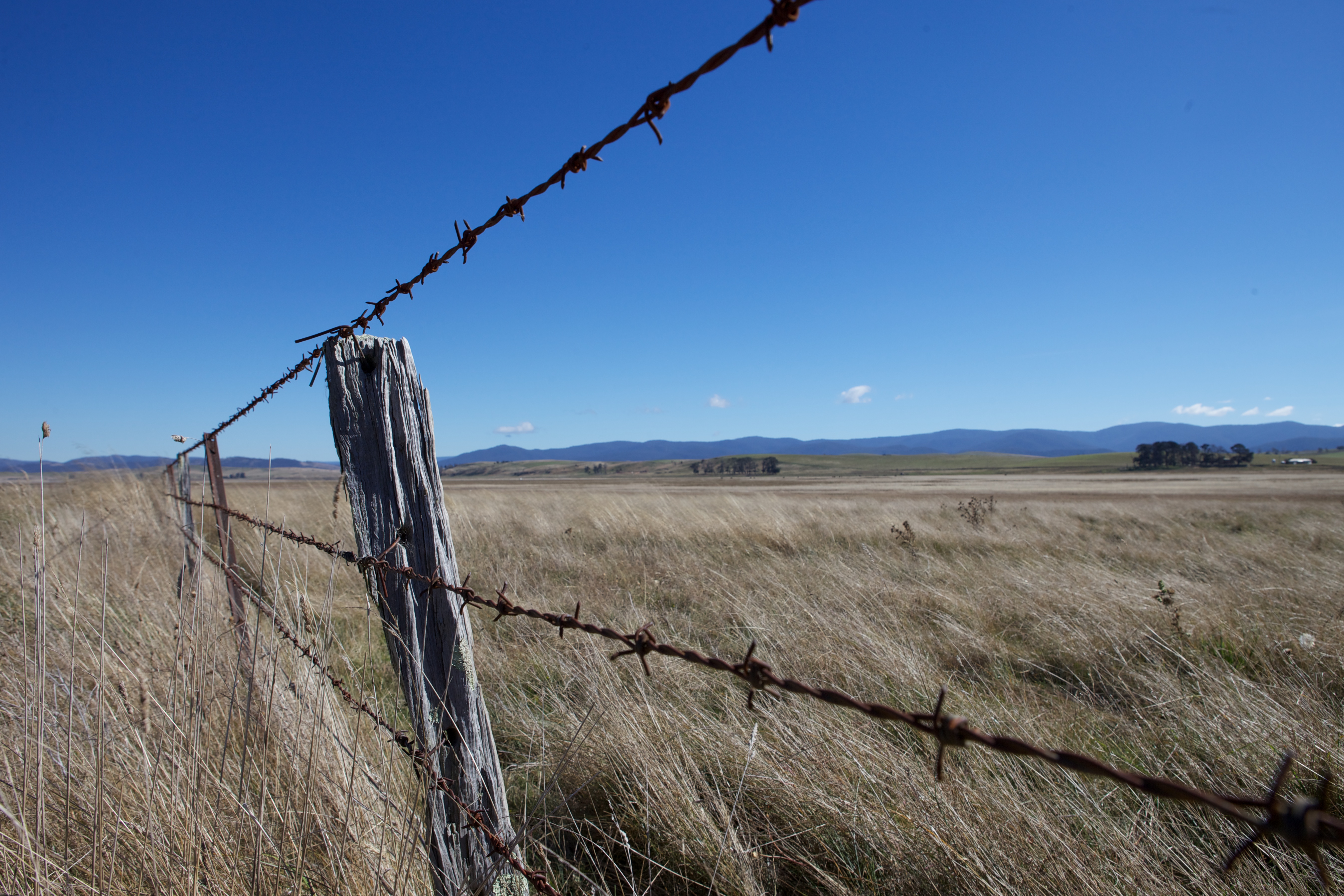
日出日落照片
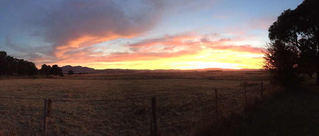
benabra - high plains sunset

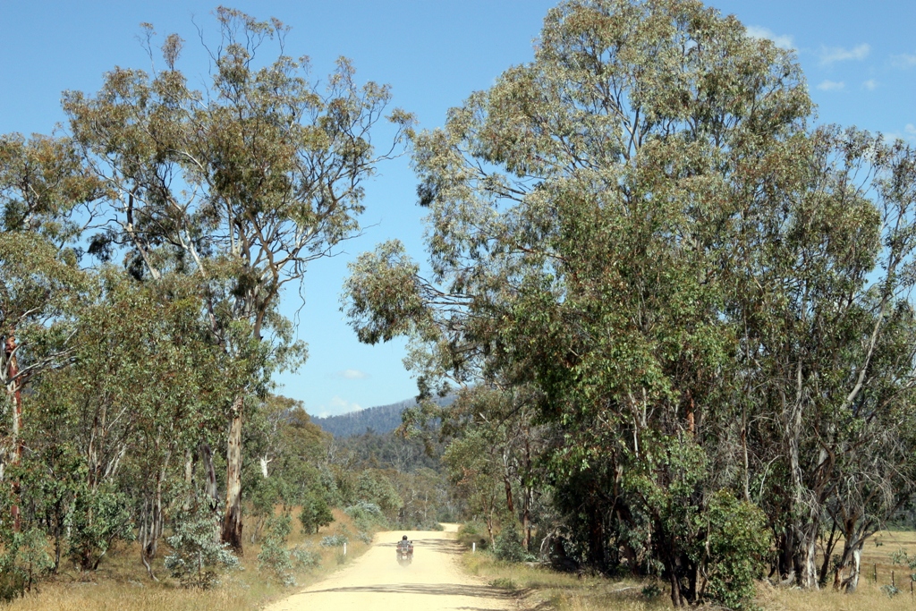
Victorian High Country

Victorian High Country

Victorian High Country

D7K_0-81.jpg

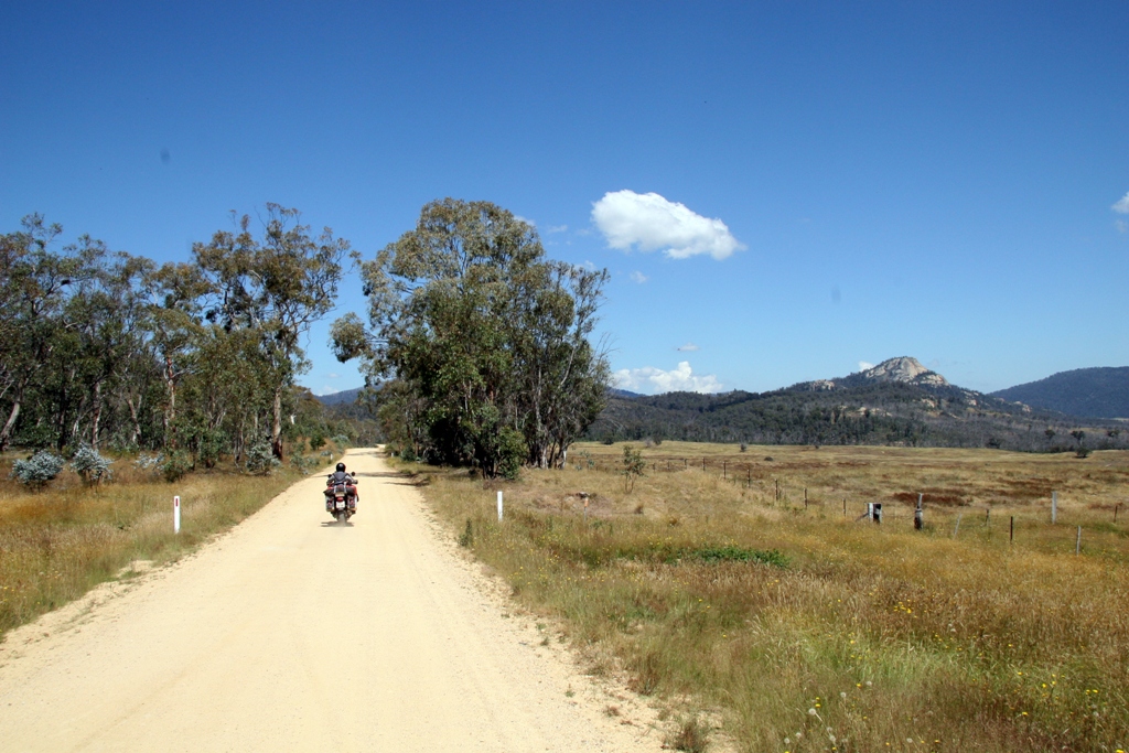
Victorian High Country

Victorian High Country
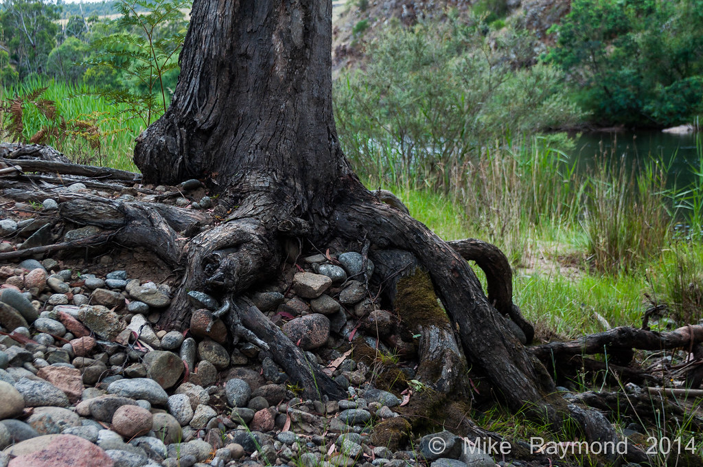
12-28-14 Tree Stump over the rocks near the Mita Mita River

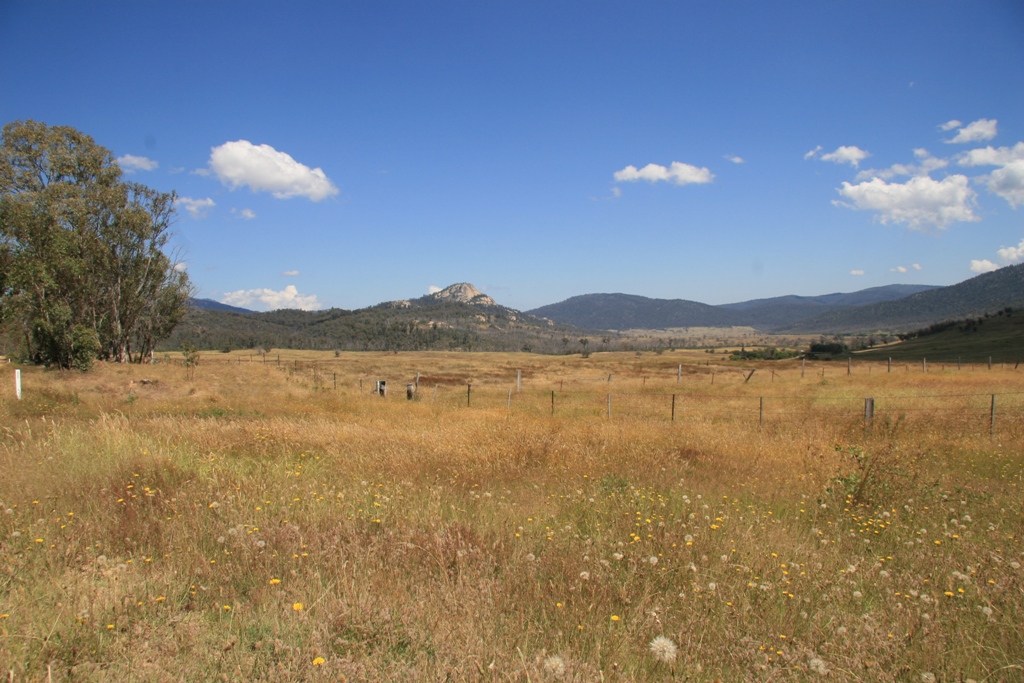
Victorian High Country
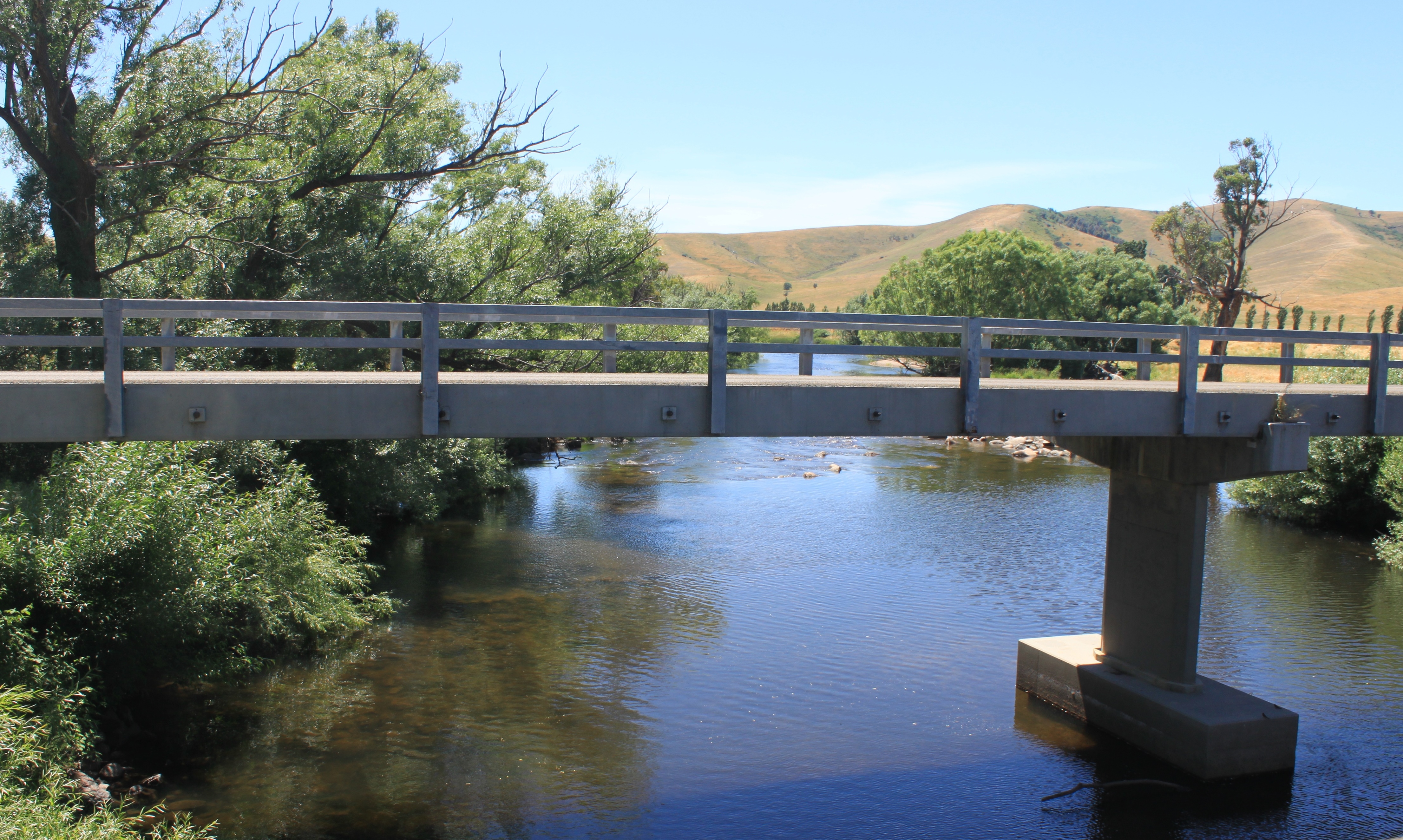
Hinnomunjie road bridge
Hinnomunjie Bridge
Lake Omeo
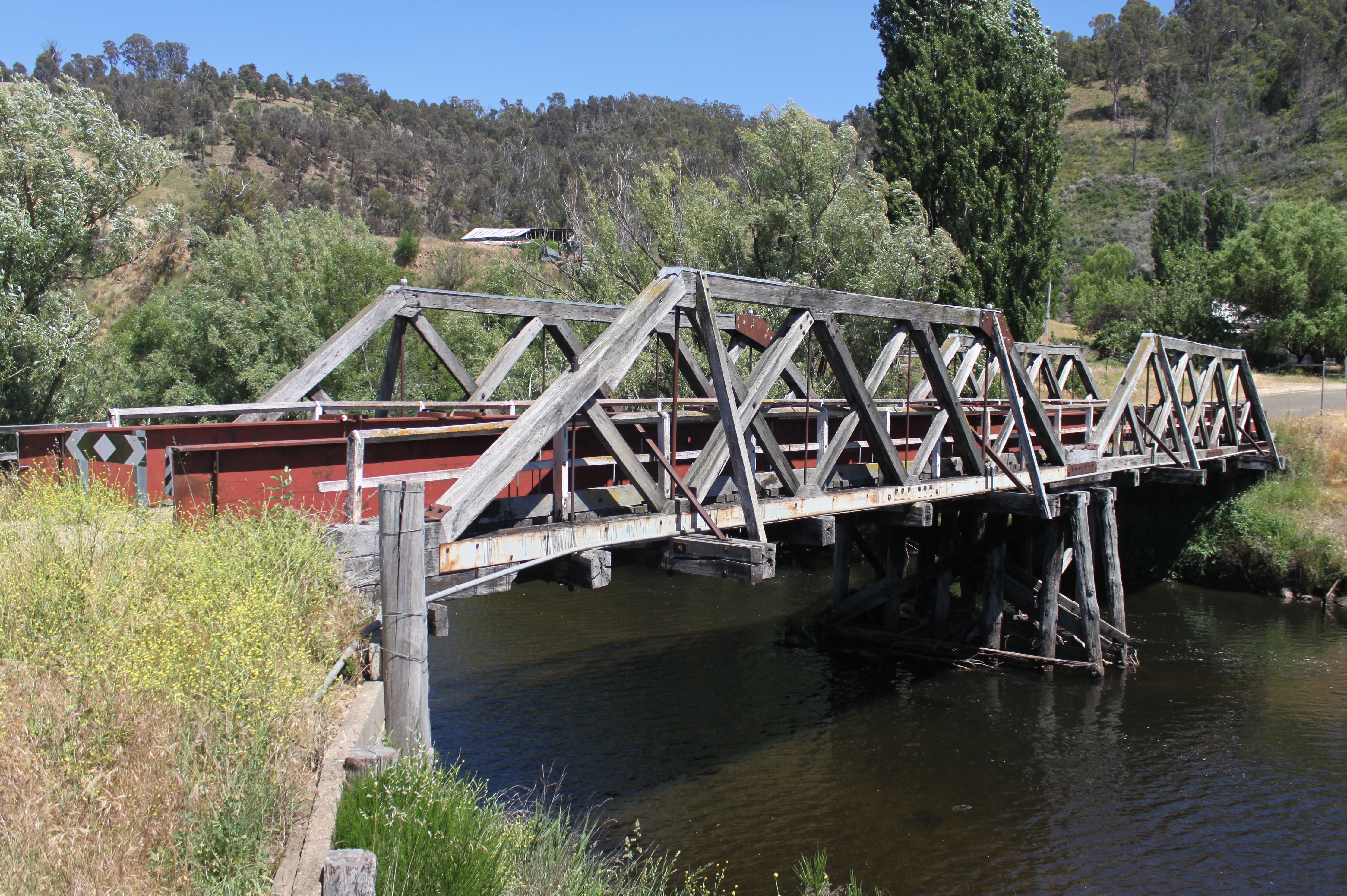
080105 Charlie Creek-Duck Point (7)
080105 Charlie Creek-Duck Point (6)
080105 Charlie Creek-Duck Point (5)
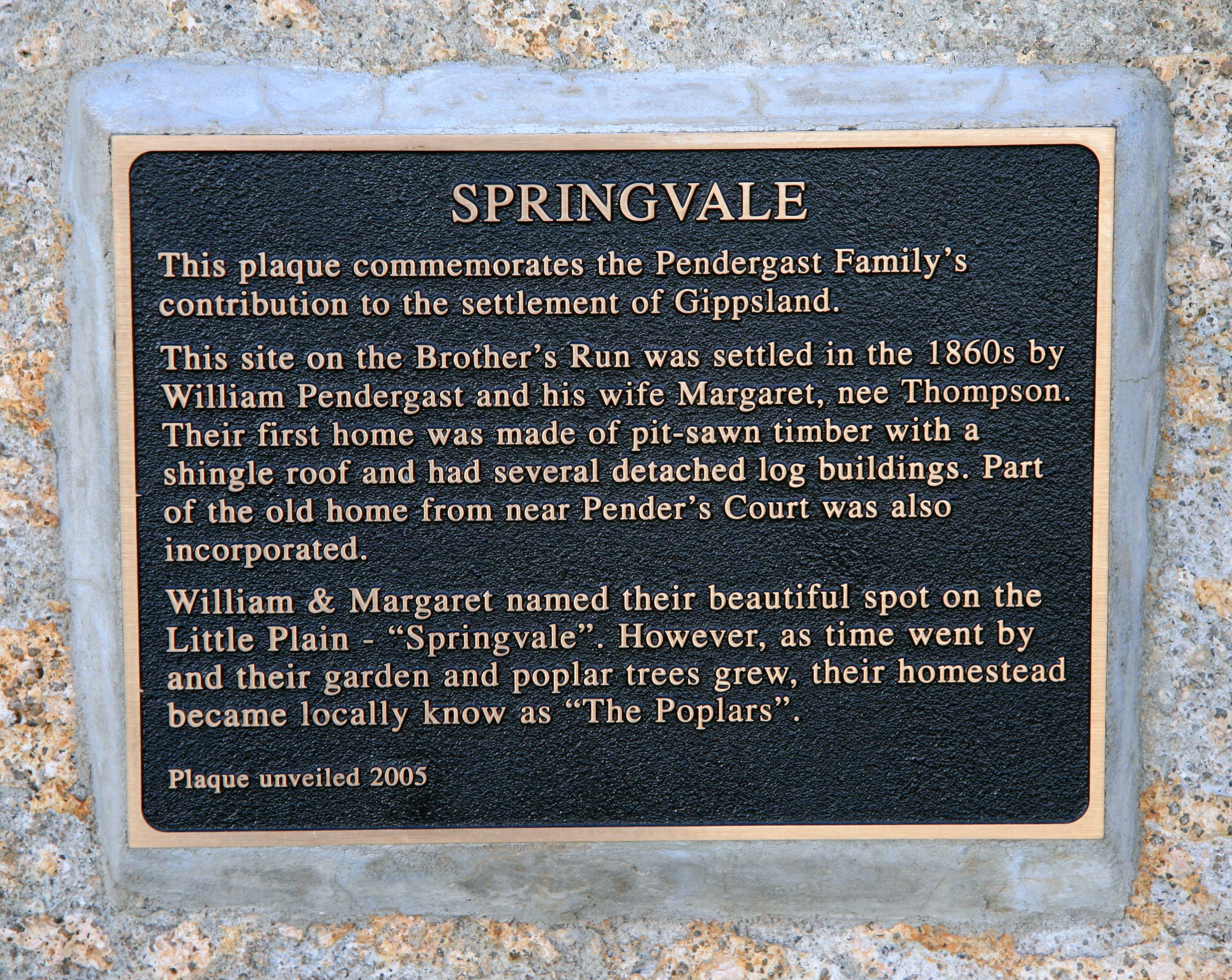
A History of Springvale
Benambra-Corryong Rd, Benambra VIC 澳洲的地圖
搜索其他地方的日出日落時間
附近地點
Benambra VIC 澳洲
Pilot Wilderness NSW 澳洲
Wulgulmerang East VIC 澳洲
Mount Hamilton, Wulgulmerang VIC 澳洲
Mckillops Rd, Wulgulmerang East VIC 澳洲
Wulgulmerang VIC 澳洲
92 Hunter Ln, Buchan VIC 澳洲
Gelantipy Rd, Buchan VIC 澳洲
16 Gelantipy Rd, Buchan VIC 澳洲Buchan Valley Log Cabins
Buchan-Orbost Rd, Buchan VIC 澳洲
36 Main Rd, Buchan VIC 澳洲
澳洲維多利亞省巴肯
East Gippsland, VIC, 澳洲East Gippsland Shire
Pilot Wilderness NSW 澳洲
Lakes Entrance VIC 澳洲
36 Odonnell Dr, Lakes Entrance VIC 澳洲
67 Capes Rd, Lakes Entrance VIC 澳洲
9 Ewing Ct, Lakes Entrance VIC 澳洲
澳洲維多利亞省莱克斯恩特伦斯
Lakes Entrance Tourist Pk, Princes Hwy, Lakes Entrance VIC 澳洲
最近搜索
- Red Dog Mine, AK, USA的日出日落時間表
- Am bhf, Borken, 德國Am Bahnhof的日出日落時間表
- 4th St E, Sonoma, CA 美國的日出日落時間表
- Oakland Ave, Williamsport, PA 美國的日出日落時間表
- Via Roma, Pieranica CR, 義大利的日出日落時間表
- 克羅埃西亞杜布羅夫尼克 GradClock Tower of Dubrovnik的日出日落時間表
- 阿根廷丘布特省特雷利烏的日出日落時間表
- Hartfords Bluff Cir, Mt Pleasant, SC 美國的日出日落時間表
- 日本熊本縣熊本市北區的日出日落時間表
- 中國福州市平潭縣平潭島的日出日落時間表