Sunrise Sunset Times of Benambra-Corryong Rd, Benambra VIC, Australia
Location: Australia > Victoria > East Gippsland Shire > Benambra VIC >
Timezone:
Australia/Melbourne
Current Time:
2025-07-05 12:51:34
Longitude:
147.7052256
Latitude:
-36.8569152
Sunrise Today:
07:22:17 AM
Sunset Today:
05:05:20 PM
Daylength Today:
9h 43m 3s
Sunrise Tomorrow:
07:22:06 AM
Sunset Tomorrow:
05:05:51 PM
Daylength Tomorrow:
9h 43m 45s
Year Show All Dates
| Date | Sunrise | Sunset | Daylength |
|---|---|---|---|
| 01/01/2025 | 05:53:37 AM | 08:31:45 PM | 14h 38m 8s |
| 01/02/2025 | 05:54:25 AM | 08:31:53 PM | 14h 37m 28s |
| 01/03/2025 | 05:55:14 AM | 08:32:00 PM | 14h 36m 46s |
| 01/04/2025 | 05:56:05 AM | 08:32:04 PM | 14h 35m 59s |
| 01/05/2025 | 05:56:57 AM | 08:32:06 PM | 14h 35m 9s |
| 01/06/2025 | 05:57:50 AM | 08:32:06 PM | 14h 34m 16s |
| 01/07/2025 | 05:58:44 AM | 08:32:04 PM | 14h 33m 20s |
| 01/08/2025 | 05:59:39 AM | 08:31:59 PM | 14h 32m 20s |
| 01/09/2025 | 06:00:35 AM | 08:31:53 PM | 14h 31m 18s |
| 01/10/2025 | 06:01:33 AM | 08:31:45 PM | 14h 30m 12s |
| 01/11/2025 | 06:02:31 AM | 08:31:35 PM | 14h 29m 4s |
| 01/12/2025 | 06:03:30 AM | 08:31:22 PM | 14h 27m 52s |
| 01/13/2025 | 06:04:30 AM | 08:31:08 PM | 14h 26m 38s |
| 01/14/2025 | 06:05:30 AM | 08:30:51 PM | 14h 25m 21s |
| 01/15/2025 | 06:06:31 AM | 08:30:33 PM | 14h 24m 2s |
| 01/16/2025 | 06:07:33 AM | 08:30:12 PM | 14h 22m 39s |
| 01/17/2025 | 06:08:36 AM | 08:29:50 PM | 14h 21m 14s |
| 01/18/2025 | 06:09:39 AM | 08:29:25 PM | 14h 19m 46s |
| 01/19/2025 | 06:10:43 AM | 08:28:59 PM | 14h 18m 16s |
| 01/20/2025 | 06:11:47 AM | 08:28:31 PM | 14h 16m 44s |
| 01/21/2025 | 06:12:52 AM | 08:28:00 PM | 14h 15m 8s |
| 01/22/2025 | 06:13:56 AM | 08:27:28 PM | 14h 13m 32s |
| 01/23/2025 | 06:15:02 AM | 08:26:54 PM | 14h 11m 52s |
| 01/24/2025 | 06:16:07 AM | 08:26:18 PM | 14h 10m 11s |
| 01/25/2025 | 06:17:13 AM | 08:25:41 PM | 14h 8m 28s |
| 01/26/2025 | 06:18:19 AM | 08:25:01 PM | 14h 6m 42s |
| 01/27/2025 | 06:19:25 AM | 08:24:20 PM | 14h 4m 55s |
| 01/28/2025 | 06:20:31 AM | 08:23:37 PM | 14h 3m 6s |
| 01/29/2025 | 06:21:38 AM | 08:22:52 PM | 14h 1m 14s |
| 01/30/2025 | 06:22:44 AM | 08:22:06 PM | 13h 59m 22s |
| 01/31/2025 | 06:23:51 AM | 08:21:18 PM | 13h 57m 27s |
| 02/01/2025 | 06:24:57 AM | 08:20:28 PM | 13h 55m 31s |
| 02/02/2025 | 06:26:03 AM | 08:19:37 PM | 13h 53m 34s |
| 02/03/2025 | 06:27:10 AM | 08:18:44 PM | 13h 51m 34s |
| 02/04/2025 | 06:28:16 AM | 08:17:50 PM | 13h 49m 34s |
| 02/05/2025 | 06:29:22 AM | 08:16:54 PM | 13h 47m 32s |
| 02/06/2025 | 06:30:28 AM | 08:15:57 PM | 13h 45m 29s |
| 02/07/2025 | 06:31:34 AM | 08:14:58 PM | 13h 43m 24s |
| 02/08/2025 | 06:32:39 AM | 08:13:58 PM | 13h 41m 19s |
| 02/09/2025 | 06:33:45 AM | 08:12:56 PM | 13h 39m 11s |
| 02/10/2025 | 06:34:50 AM | 08:11:54 PM | 13h 37m 4s |
| 02/11/2025 | 06:35:55 AM | 08:10:50 PM | 13h 34m 55s |
| 02/12/2025 | 06:36:59 AM | 08:09:44 PM | 13h 32m 45s |
| 02/13/2025 | 06:38:04 AM | 08:08:38 PM | 13h 30m 34s |
| 02/14/2025 | 06:39:08 AM | 08:07:30 PM | 13h 28m 22s |
| 02/15/2025 | 06:40:11 AM | 08:06:21 PM | 13h 26m 10s |
| 02/16/2025 | 06:41:15 AM | 08:05:11 PM | 13h 23m 56s |
| 02/17/2025 | 06:42:18 AM | 08:04:00 PM | 13h 21m 42s |
| 02/18/2025 | 06:43:21 AM | 08:02:47 PM | 13h 19m 26s |
| 02/19/2025 | 06:44:23 AM | 08:01:34 PM | 13h 17m 11s |
| 02/20/2025 | 06:45:25 AM | 08:00:20 PM | 13h 14m 55s |
| 02/21/2025 | 06:46:27 AM | 07:59:05 PM | 13h 12m 38s |
| 02/22/2025 | 06:47:28 AM | 07:57:49 PM | 13h 10m 21s |
| 02/23/2025 | 06:48:29 AM | 07:56:32 PM | 13h 8m 3s |
| 02/24/2025 | 06:49:30 AM | 07:55:14 PM | 13h 5m 44s |
| 02/25/2025 | 06:50:30 AM | 07:53:55 PM | 13h 3m 25s |
| 02/26/2025 | 06:51:30 AM | 07:52:35 PM | 13h 1m 5s |
| 02/27/2025 | 06:52:30 AM | 07:51:15 PM | 12h 58m 45s |
| 02/28/2025 | 06:53:29 AM | 07:49:54 PM | 12h 56m 25s |
| 03/01/2025 | 06:54:28 AM | 07:48:33 PM | 12h 54m 5s |
| 03/02/2025 | 06:55:26 AM | 07:47:10 PM | 12h 51m 44s |
| 03/03/2025 | 06:56:24 AM | 07:45:47 PM | 12h 49m 23s |
| 03/04/2025 | 06:57:22 AM | 07:44:24 PM | 12h 47m 2s |
| 03/05/2025 | 06:58:20 AM | 07:43:00 PM | 12h 44m 40s |
| 03/06/2025 | 06:59:17 AM | 07:41:35 PM | 12h 42m 18s |
| 03/07/2025 | 07:00:14 AM | 07:40:10 PM | 12h 39m 56s |
| 03/08/2025 | 07:01:10 AM | 07:38:44 PM | 12h 37m 34s |
| 03/09/2025 | 07:02:07 AM | 07:37:18 PM | 12h 35m 11s |
| 03/10/2025 | 07:03:03 AM | 07:35:52 PM | 12h 32m 49s |
| 03/11/2025 | 07:03:58 AM | 07:34:25 PM | 12h 30m 27s |
| 03/12/2025 | 07:04:54 AM | 07:32:58 PM | 12h 28m 4s |
| 03/13/2025 | 07:05:49 AM | 07:31:30 PM | 12h 25m 41s |
| 03/14/2025 | 07:06:44 AM | 07:30:03 PM | 12h 23m 19s |
| 03/15/2025 | 07:07:38 AM | 07:28:35 PM | 12h 20m 57s |
| 03/16/2025 | 07:08:33 AM | 07:27:06 PM | 12h 18m 33s |
| 03/17/2025 | 07:09:27 AM | 07:25:38 PM | 12h 16m 11s |
| 03/18/2025 | 07:10:21 AM | 07:24:09 PM | 12h 13m 48s |
| 03/19/2025 | 07:11:15 AM | 07:22:41 PM | 12h 11m 26s |
| 03/20/2025 | 07:12:08 AM | 07:21:12 PM | 12h 9m 4s |
| 03/21/2025 | 07:13:01 AM | 07:19:43 PM | 12h 6m 42s |
| 03/22/2025 | 07:13:55 AM | 07:18:14 PM | 12h 4m 19s |
| 03/23/2025 | 07:14:48 AM | 07:16:45 PM | 12h 1m 57s |
| 03/24/2025 | 07:15:40 AM | 07:15:16 PM | 11h 59m 36s |
| 03/25/2025 | 07:16:33 AM | 07:13:47 PM | 11h 57m 14s |
| 03/26/2025 | 07:17:26 AM | 07:12:18 PM | 11h 54m 52s |
| 03/27/2025 | 07:18:18 AM | 07:10:50 PM | 11h 52m 32s |
| 03/28/2025 | 07:19:11 AM | 07:09:21 PM | 11h 50m 10s |
| 03/29/2025 | 07:20:03 AM | 07:07:53 PM | 11h 47m 50s |
| 03/30/2025 | 07:20:55 AM | 07:06:24 PM | 11h 45m 29s |
| 03/31/2025 | 07:21:47 AM | 07:04:56 PM | 11h 43m 9s |
| 04/01/2025 | 07:22:39 AM | 07:03:29 PM | 11h 40m 50s |
| 04/02/2025 | 07:23:31 AM | 07:02:01 PM | 11h 38m 30s |
| 04/03/2025 | 07:24:23 AM | 07:00:34 PM | 11h 36m 11s |
| 04/04/2025 | 07:25:15 AM | 06:59:07 PM | 11h 33m 52s |
| 04/05/2025 | 07:26:07 AM | 06:57:41 PM | 11h 31m 34s |
| 04/06/2025 | 06:27:01 AM | 05:56:11 PM | 11h 29m 10s |
| 04/06/2025 | 06:27:01 AM | 05:56:11 PM | 11h 29m 10s |
| 04/07/2025 | 06:27:53 AM | 05:54:46 PM | 11h 26m 53s |
| 04/08/2025 | 06:28:44 AM | 05:53:21 PM | 11h 24m 37s |
| 04/09/2025 | 06:29:36 AM | 05:51:56 PM | 11h 22m 20s |
| 04/10/2025 | 06:30:28 AM | 05:50:32 PM | 11h 20m 4s |
| 04/11/2025 | 06:31:20 AM | 05:49:08 PM | 11h 17m 48s |
| 04/12/2025 | 06:32:12 AM | 05:47:45 PM | 11h 15m 33s |
| 04/13/2025 | 06:33:03 AM | 05:46:23 PM | 11h 13m 20s |
| 04/14/2025 | 06:33:55 AM | 05:45:01 PM | 11h 11m 6s |
| 04/15/2025 | 06:34:47 AM | 05:43:40 PM | 11h 8m 53s |
| 04/16/2025 | 06:35:39 AM | 05:42:20 PM | 11h 6m 41s |
| 04/17/2025 | 06:36:31 AM | 05:41:00 PM | 11h 4m 29s |
| 04/18/2025 | 06:37:23 AM | 05:39:41 PM | 11h 2m 18s |
| 04/19/2025 | 06:38:15 AM | 05:38:23 PM | 11h 0m 8s |
| 04/20/2025 | 06:39:06 AM | 05:37:06 PM | 10h 58m 0s |
| 04/21/2025 | 06:39:58 AM | 05:35:49 PM | 10h 55m 51s |
| 04/22/2025 | 06:40:50 AM | 05:34:34 PM | 10h 53m 44s |
| 04/23/2025 | 06:41:42 AM | 05:33:19 PM | 10h 51m 37s |
| 04/24/2025 | 06:42:34 AM | 05:32:05 PM | 10h 49m 31s |
| 04/25/2025 | 06:43:26 AM | 05:30:52 PM | 10h 47m 26s |
| 04/26/2025 | 06:44:18 AM | 05:29:40 PM | 10h 45m 22s |
| 04/27/2025 | 06:45:10 AM | 05:28:29 PM | 10h 43m 19s |
| 04/28/2025 | 06:46:02 AM | 05:27:19 PM | 10h 41m 17s |
| 04/29/2025 | 06:46:54 AM | 05:26:11 PM | 10h 39m 17s |
| 04/30/2025 | 06:47:46 AM | 05:25:03 PM | 10h 37m 17s |
| 05/01/2025 | 06:48:38 AM | 05:23:56 PM | 10h 35m 18s |
| 05/02/2025 | 06:49:29 AM | 05:22:51 PM | 10h 33m 22s |
| 05/03/2025 | 06:50:21 AM | 05:21:47 PM | 10h 31m 26s |
| 05/04/2025 | 06:51:13 AM | 05:20:44 PM | 10h 29m 31s |
| 05/05/2025 | 06:52:04 AM | 05:19:42 PM | 10h 27m 38s |
| 05/06/2025 | 06:52:55 AM | 05:18:41 PM | 10h 25m 46s |
| 05/07/2025 | 06:53:47 AM | 05:17:42 PM | 10h 23m 55s |
| 05/08/2025 | 06:54:38 AM | 05:16:44 PM | 10h 22m 6s |
| 05/09/2025 | 06:55:28 AM | 05:15:47 PM | 10h 20m 19s |
| 05/10/2025 | 06:56:19 AM | 05:14:52 PM | 10h 18m 33s |
| 05/11/2025 | 06:57:09 AM | 05:13:58 PM | 10h 16m 49s |
| 05/12/2025 | 06:57:59 AM | 05:13:05 PM | 10h 15m 6s |
| 05/13/2025 | 06:58:49 AM | 05:12:14 PM | 10h 13m 25s |
| 05/14/2025 | 06:59:39 AM | 05:11:25 PM | 10h 11m 46s |
| 05/15/2025 | 07:00:28 AM | 05:10:36 PM | 10h 10m 8s |
| 05/16/2025 | 07:01:17 AM | 05:09:50 PM | 10h 8m 33s |
| 05/17/2025 | 07:02:05 AM | 05:09:04 PM | 10h 6m 59s |
| 05/18/2025 | 07:02:53 AM | 05:08:21 PM | 10h 5m 28s |
| 05/19/2025 | 07:03:41 AM | 05:07:39 PM | 10h 3m 58s |
| 05/20/2025 | 07:04:28 AM | 05:06:58 PM | 10h 2m 30s |
| 05/21/2025 | 07:05:14 AM | 05:06:19 PM | 10h 1m 5s |
| 05/22/2025 | 07:06:01 AM | 05:05:42 PM | 9h 59m 41s |
| 05/23/2025 | 07:06:46 AM | 05:05:06 PM | 9h 58m 20s |
| 05/24/2025 | 07:07:31 AM | 05:04:32 PM | 9h 57m 1s |
| 05/25/2025 | 07:08:15 AM | 05:03:59 PM | 9h 55m 44s |
| 05/26/2025 | 07:08:59 AM | 05:03:28 PM | 9h 54m 29s |
| 05/27/2025 | 07:09:42 AM | 05:02:59 PM | 9h 53m 17s |
| 05/28/2025 | 07:10:24 AM | 05:02:32 PM | 9h 52m 8s |
| 05/29/2025 | 07:11:05 AM | 05:02:06 PM | 9h 51m 1s |
| 05/30/2025 | 07:11:46 AM | 05:01:42 PM | 9h 49m 56s |
| 05/31/2025 | 07:12:25 AM | 05:01:19 PM | 9h 48m 54s |
| 06/01/2025 | 07:13:04 AM | 05:00:59 PM | 9h 47m 55s |
| 06/02/2025 | 07:13:42 AM | 05:00:40 PM | 9h 46m 58s |
| 06/03/2025 | 07:14:19 AM | 05:00:22 PM | 9h 46m 3s |
| 06/04/2025 | 07:14:55 AM | 05:00:07 PM | 9h 45m 12s |
| 06/05/2025 | 07:15:30 AM | 04:59:53 PM | 9h 44m 23s |
| 06/06/2025 | 07:16:03 AM | 04:59:41 PM | 9h 43m 38s |
| 06/07/2025 | 07:16:36 AM | 04:59:30 PM | 9h 42m 54s |
| 06/08/2025 | 07:17:08 AM | 04:59:22 PM | 9h 42m 14s |
| 06/09/2025 | 07:17:38 AM | 04:59:15 PM | 9h 41m 37s |
| 06/10/2025 | 07:18:07 AM | 04:59:09 PM | 9h 41m 2s |
| 06/11/2025 | 07:18:35 AM | 04:59:06 PM | 9h 40m 31s |
| 06/12/2025 | 07:19:02 AM | 04:59:04 PM | 9h 40m 2s |
| 06/13/2025 | 07:19:27 AM | 04:59:03 PM | 9h 39m 36s |
| 06/14/2025 | 07:19:51 AM | 04:59:05 PM | 9h 39m 14s |
| 06/15/2025 | 07:20:14 AM | 04:59:08 PM | 9h 38m 54s |
| 06/16/2025 | 07:20:35 AM | 04:59:12 PM | 9h 38m 37s |
| 06/17/2025 | 07:20:54 AM | 04:59:18 PM | 9h 38m 24s |
| 06/18/2025 | 07:21:13 AM | 04:59:26 PM | 9h 38m 13s |
| 06/19/2025 | 07:21:30 AM | 04:59:36 PM | 9h 38m 6s |
| 06/20/2025 | 07:21:45 AM | 04:59:46 PM | 9h 38m 1s |
| 06/21/2025 | 07:21:59 AM | 04:59:59 PM | 9h 38m 0s |
| 06/22/2025 | 07:22:11 AM | 05:00:13 PM | 9h 38m 2s |
| 06/23/2025 | 07:22:21 AM | 05:00:28 PM | 9h 38m 7s |
| 06/24/2025 | 07:22:30 AM | 05:00:45 PM | 9h 38m 15s |
| 06/25/2025 | 07:22:38 AM | 05:01:03 PM | 9h 38m 25s |
| 06/26/2025 | 07:22:43 AM | 05:01:23 PM | 9h 38m 40s |
| 06/27/2025 | 07:22:47 AM | 05:01:44 PM | 9h 38m 57s |
| 06/28/2025 | 07:22:50 AM | 05:02:06 PM | 9h 39m 16s |
| 06/29/2025 | 07:22:50 AM | 05:02:30 PM | 9h 39m 40s |
| 06/30/2025 | 07:22:49 AM | 05:02:55 PM | 9h 40m 6s |
| 07/01/2025 | 07:22:47 AM | 05:03:21 PM | 9h 40m 34s |
| 07/02/2025 | 07:22:42 AM | 05:03:48 PM | 9h 41m 6s |
| 07/03/2025 | 07:22:36 AM | 05:04:17 PM | 9h 41m 41s |
| 07/04/2025 | 07:22:28 AM | 05:04:46 PM | 9h 42m 18s |
| 07/05/2025 | 07:22:18 AM | 05:05:17 PM | 9h 42m 59s |
| 07/06/2025 | 07:22:07 AM | 05:05:49 PM | 9h 43m 42s |
| 07/07/2025 | 07:21:54 AM | 05:06:22 PM | 9h 44m 28s |
| 07/08/2025 | 07:21:39 AM | 05:06:55 PM | 9h 45m 16s |
| 07/09/2025 | 07:21:22 AM | 05:07:30 PM | 9h 46m 8s |
| 07/10/2025 | 07:21:03 AM | 05:08:06 PM | 9h 47m 3s |
| 07/11/2025 | 07:20:43 AM | 05:08:42 PM | 9h 47m 59s |
| 07/12/2025 | 07:20:21 AM | 05:09:20 PM | 9h 48m 59s |
| 07/13/2025 | 07:19:57 AM | 05:09:58 PM | 9h 50m 1s |
| 07/14/2025 | 07:19:32 AM | 05:10:37 PM | 9h 51m 5s |
| 07/15/2025 | 07:19:05 AM | 05:11:17 PM | 9h 52m 12s |
| 07/16/2025 | 07:18:36 AM | 05:11:57 PM | 9h 53m 21s |
| 07/17/2025 | 07:18:05 AM | 05:12:38 PM | 9h 54m 33s |
| 07/18/2025 | 07:17:33 AM | 05:13:20 PM | 9h 55m 47s |
| 07/19/2025 | 07:16:59 AM | 05:14:02 PM | 9h 57m 3s |
| 07/20/2025 | 07:16:23 AM | 05:14:45 PM | 9h 58m 22s |
| 07/21/2025 | 07:15:46 AM | 05:15:29 PM | 9h 59m 43s |
| 07/22/2025 | 07:15:07 AM | 05:16:13 PM | 10h 1m 6s |
| 07/23/2025 | 07:14:27 AM | 05:16:57 PM | 10h 2m 30s |
| 07/24/2025 | 07:13:44 AM | 05:17:42 PM | 10h 3m 58s |
| 07/25/2025 | 07:13:01 AM | 05:18:27 PM | 10h 5m 26s |
| 07/26/2025 | 07:12:15 AM | 05:19:13 PM | 10h 6m 58s |
| 07/27/2025 | 07:11:29 AM | 05:19:58 PM | 10h 8m 29s |
| 07/28/2025 | 07:10:40 AM | 05:20:45 PM | 10h 10m 5s |
| 07/29/2025 | 07:09:50 AM | 05:21:31 PM | 10h 11m 41s |
| 07/30/2025 | 07:08:59 AM | 05:22:18 PM | 10h 13m 19s |
| 07/31/2025 | 07:08:06 AM | 05:23:05 PM | 10h 14m 59s |
| 08/01/2025 | 07:07:12 AM | 05:23:52 PM | 10h 16m 40s |
| 08/02/2025 | 07:06:16 AM | 05:24:40 PM | 10h 18m 24s |
| 08/03/2025 | 07:05:19 AM | 05:25:28 PM | 10h 20m 9s |
| 08/04/2025 | 07:04:21 AM | 05:26:15 PM | 10h 21m 54s |
| 08/05/2025 | 07:03:21 AM | 05:27:03 PM | 10h 23m 42s |
| 08/06/2025 | 07:02:20 AM | 05:27:51 PM | 10h 25m 31s |
| 08/07/2025 | 07:01:18 AM | 05:28:40 PM | 10h 27m 22s |
| 08/08/2025 | 07:00:14 AM | 05:29:28 PM | 10h 29m 14s |
| 08/09/2025 | 06:59:09 AM | 05:30:16 PM | 10h 31m 7s |
| 08/10/2025 | 06:58:03 AM | 05:31:04 PM | 10h 33m 1s |
| 08/11/2025 | 06:56:56 AM | 05:31:53 PM | 10h 34m 57s |
| 08/12/2025 | 06:55:48 AM | 05:32:41 PM | 10h 36m 53s |
| 08/13/2025 | 06:54:38 AM | 05:33:30 PM | 10h 38m 52s |
| 08/14/2025 | 06:53:28 AM | 05:34:18 PM | 10h 40m 50s |
| 08/15/2025 | 06:52:16 AM | 05:35:06 PM | 10h 42m 50s |
| 08/16/2025 | 06:51:03 AM | 05:35:55 PM | 10h 44m 52s |
| 08/17/2025 | 06:49:50 AM | 05:36:43 PM | 10h 46m 53s |
| 08/18/2025 | 06:48:35 AM | 05:37:31 PM | 10h 48m 56s |
| 08/19/2025 | 06:47:19 AM | 05:38:20 PM | 10h 51m 1s |
| 08/20/2025 | 06:46:03 AM | 05:39:08 PM | 10h 53m 5s |
| 08/21/2025 | 06:44:45 AM | 05:39:56 PM | 10h 55m 11s |
| 08/22/2025 | 06:43:27 AM | 05:40:44 PM | 10h 57m 17s |
| 08/23/2025 | 06:42:08 AM | 05:41:32 PM | 10h 59m 24s |
| 08/24/2025 | 06:40:48 AM | 05:42:20 PM | 11h 1m 32s |
| 08/25/2025 | 06:39:27 AM | 05:43:08 PM | 11h 3m 41s |
| 08/26/2025 | 06:38:05 AM | 05:43:56 PM | 11h 5m 51s |
| 08/27/2025 | 06:36:43 AM | 05:44:44 PM | 11h 8m 1s |
| 08/28/2025 | 06:35:20 AM | 05:45:32 PM | 11h 10m 12s |
| 08/29/2025 | 06:33:56 AM | 05:46:20 PM | 11h 12m 24s |
| 08/30/2025 | 06:32:32 AM | 05:47:07 PM | 11h 14m 35s |
| 08/31/2025 | 06:31:07 AM | 05:47:55 PM | 11h 16m 48s |
| 09/01/2025 | 06:29:42 AM | 05:48:43 PM | 11h 19m 1s |
| 09/02/2025 | 06:28:15 AM | 05:49:30 PM | 11h 21m 15s |
| 09/03/2025 | 06:26:49 AM | 05:50:18 PM | 11h 23m 29s |
| 09/04/2025 | 06:25:22 AM | 05:51:05 PM | 11h 25m 43s |
| 09/05/2025 | 06:23:54 AM | 05:51:53 PM | 11h 27m 59s |
| 09/06/2025 | 06:22:26 AM | 05:52:41 PM | 11h 30m 15s |
| 09/07/2025 | 06:20:58 AM | 05:53:28 PM | 11h 32m 30s |
| 09/08/2025 | 06:19:29 AM | 05:54:16 PM | 11h 34m 47s |
| 09/09/2025 | 06:18:00 AM | 05:55:03 PM | 11h 37m 3s |
| 09/10/2025 | 06:16:30 AM | 05:55:51 PM | 11h 39m 21s |
| 09/11/2025 | 06:15:01 AM | 05:56:38 PM | 11h 41m 37s |
| 09/12/2025 | 06:13:30 AM | 05:57:26 PM | 11h 43m 56s |
| 09/13/2025 | 06:12:00 AM | 05:58:14 PM | 11h 46m 14s |
| 09/14/2025 | 06:10:30 AM | 05:59:02 PM | 11h 48m 32s |
| 09/15/2025 | 06:08:59 AM | 05:59:50 PM | 11h 50m 51s |
| 09/16/2025 | 06:07:28 AM | 06:00:38 PM | 11h 53m 10s |
| 09/17/2025 | 06:05:57 AM | 06:01:26 PM | 11h 55m 29s |
| 09/18/2025 | 06:04:26 AM | 06:02:14 PM | 11h 57m 48s |
| 09/19/2025 | 06:02:55 AM | 06:03:02 PM | 12h 0m 7s |
| 09/20/2025 | 06:01:24 AM | 06:03:51 PM | 12h 2m 27s |
| 09/21/2025 | 05:59:52 AM | 06:04:39 PM | 12h 4m 47s |
| 09/22/2025 | 05:58:21 AM | 06:05:28 PM | 12h 7m 7s |
| 09/23/2025 | 05:56:50 AM | 06:06:17 PM | 12h 9m 27s |
| 09/24/2025 | 05:55:19 AM | 06:07:06 PM | 12h 11m 47s |
| 09/25/2025 | 05:53:48 AM | 06:07:55 PM | 12h 14m 7s |
| 09/26/2025 | 05:52:17 AM | 06:08:45 PM | 12h 16m 28s |
| 09/27/2025 | 05:50:47 AM | 06:09:35 PM | 12h 18m 48s |
| 09/28/2025 | 05:49:16 AM | 06:10:25 PM | 12h 21m 9s |
| 09/29/2025 | 05:47:46 AM | 06:11:15 PM | 12h 23m 29s |
| 09/30/2025 | 05:46:16 AM | 06:12:05 PM | 12h 25m 49s |
| 10/01/2025 | 05:44:46 AM | 06:12:56 PM | 12h 28m 10s |
| 10/02/2025 | 05:43:17 AM | 06:13:47 PM | 12h 30m 30s |
| 10/03/2025 | 05:41:48 AM | 06:14:38 PM | 12h 32m 50s |
| 10/04/2025 | 05:40:19 AM | 06:15:30 PM | 12h 35m 11s |
| 10/06/2025 | 06:37:26 AM | 07:17:12 PM | 12h 39m 46s |
| 10/07/2025 | 06:35:59 AM | 07:18:04 PM | 12h 42m 5s |
| 10/08/2025 | 06:34:32 AM | 07:18:57 PM | 12h 44m 25s |
| 10/09/2025 | 06:33:06 AM | 07:19:50 PM | 12h 46m 44s |
| 10/10/2025 | 06:31:40 AM | 07:20:44 PM | 12h 49m 4s |
| 10/11/2025 | 06:30:14 AM | 07:21:37 PM | 12h 51m 23s |
| 10/12/2025 | 06:28:50 AM | 07:22:32 PM | 12h 53m 42s |
| 10/13/2025 | 06:27:26 AM | 07:23:26 PM | 12h 56m 0s |
| 10/14/2025 | 06:26:02 AM | 07:24:21 PM | 12h 58m 19s |
| 10/15/2025 | 06:24:40 AM | 07:25:17 PM | 13h 0m 37s |
| 10/16/2025 | 06:23:18 AM | 07:26:12 PM | 13h 2m 54s |
| 10/17/2025 | 06:21:57 AM | 07:27:08 PM | 13h 5m 11s |
| 10/18/2025 | 06:20:37 AM | 07:28:05 PM | 13h 7m 28s |
| 10/19/2025 | 06:19:17 AM | 07:29:02 PM | 13h 9m 45s |
| 10/20/2025 | 06:17:59 AM | 07:29:59 PM | 13h 12m 0s |
| 10/21/2025 | 06:16:41 AM | 07:30:56 PM | 13h 14m 15s |
| 10/22/2025 | 06:15:24 AM | 07:31:54 PM | 13h 16m 30s |
| 10/23/2025 | 06:14:09 AM | 07:32:53 PM | 13h 18m 44s |
| 10/24/2025 | 06:12:54 AM | 07:33:51 PM | 13h 20m 57s |
| 10/25/2025 | 06:11:40 AM | 07:34:51 PM | 13h 23m 11s |
| 10/26/2025 | 06:10:28 AM | 07:35:50 PM | 13h 25m 22s |
| 10/27/2025 | 06:09:16 AM | 07:36:50 PM | 13h 27m 34s |
| 10/28/2025 | 06:08:06 AM | 07:37:50 PM | 13h 29m 44s |
| 10/29/2025 | 06:06:57 AM | 07:38:50 PM | 13h 31m 53s |
| 10/30/2025 | 06:05:49 AM | 07:39:51 PM | 13h 34m 2s |
| 10/31/2025 | 06:04:42 AM | 07:40:52 PM | 13h 36m 10s |
| 11/01/2025 | 06:03:37 AM | 07:41:54 PM | 13h 38m 17s |
| 11/02/2025 | 06:02:33 AM | 07:42:56 PM | 13h 40m 23s |
| 11/03/2025 | 06:01:30 AM | 07:43:58 PM | 13h 42m 28s |
| 11/04/2025 | 06:00:28 AM | 07:45:00 PM | 13h 44m 32s |
| 11/05/2025 | 05:59:28 AM | 07:46:02 PM | 13h 46m 34s |
| 11/06/2025 | 05:58:30 AM | 07:47:05 PM | 13h 48m 35s |
| 11/07/2025 | 05:57:33 AM | 07:48:08 PM | 13h 50m 35s |
| 11/08/2025 | 05:56:37 AM | 07:49:11 PM | 13h 52m 34s |
| 11/09/2025 | 05:55:43 AM | 07:50:14 PM | 13h 54m 31s |
| 11/10/2025 | 05:54:51 AM | 07:51:17 PM | 13h 56m 26s |
| 11/11/2025 | 05:54:00 AM | 07:52:21 PM | 13h 58m 21s |
| 11/12/2025 | 05:53:11 AM | 07:53:24 PM | 14h 0m 13s |
| 11/13/2025 | 05:52:24 AM | 07:54:28 PM | 14h 2m 4s |
| 11/14/2025 | 05:51:38 AM | 07:55:31 PM | 14h 3m 53s |
| 11/15/2025 | 05:50:54 AM | 07:56:35 PM | 14h 5m 41s |
| 11/16/2025 | 05:50:12 AM | 07:57:38 PM | 14h 7m 26s |
| 11/17/2025 | 05:49:31 AM | 07:58:41 PM | 14h 9m 10s |
| 11/18/2025 | 05:48:52 AM | 07:59:44 PM | 14h 10m 52s |
| 11/19/2025 | 05:48:16 AM | 08:00:47 PM | 14h 12m 31s |
| 11/20/2025 | 05:47:41 AM | 08:01:50 PM | 14h 14m 9s |
| 11/21/2025 | 05:47:08 AM | 08:02:52 PM | 14h 15m 44s |
| 11/22/2025 | 05:46:36 AM | 08:03:54 PM | 14h 17m 18s |
| 11/23/2025 | 05:46:07 AM | 08:04:56 PM | 14h 18m 49s |
| 11/24/2025 | 05:45:40 AM | 08:05:57 PM | 14h 20m 17s |
| 11/25/2025 | 05:45:15 AM | 08:06:58 PM | 14h 21m 43s |
| 11/26/2025 | 05:44:52 AM | 08:07:59 PM | 14h 23m 7s |
| 11/27/2025 | 05:44:30 AM | 08:08:58 PM | 14h 24m 28s |
| 11/28/2025 | 05:44:11 AM | 08:09:58 PM | 14h 25m 47s |
| 11/29/2025 | 05:43:54 AM | 08:10:56 PM | 14h 27m 2s |
| 11/30/2025 | 05:43:39 AM | 08:11:54 PM | 14h 28m 15s |
| 12/01/2025 | 05:43:26 AM | 08:12:51 PM | 14h 29m 25s |
| 12/02/2025 | 05:43:15 AM | 08:13:48 PM | 14h 30m 33s |
| 12/03/2025 | 05:43:06 AM | 08:14:43 PM | 14h 31m 37s |
| 12/04/2025 | 05:43:00 AM | 08:15:38 PM | 14h 32m 38s |
| 12/05/2025 | 05:42:55 AM | 08:16:31 PM | 14h 33m 36s |
| 12/06/2025 | 05:42:52 AM | 08:17:24 PM | 14h 34m 32s |
| 12/07/2025 | 05:42:52 AM | 08:18:15 PM | 14h 35m 23s |
| 12/08/2025 | 05:42:54 AM | 08:19:06 PM | 14h 36m 12s |
| 12/09/2025 | 05:42:58 AM | 08:19:55 PM | 14h 36m 57s |
| 12/10/2025 | 05:43:04 AM | 08:20:43 PM | 14h 37m 39s |
| 12/11/2025 | 05:43:12 AM | 08:21:30 PM | 14h 38m 18s |
| 12/12/2025 | 05:43:22 AM | 08:22:16 PM | 14h 38m 54s |
| 12/13/2025 | 05:43:34 AM | 08:23:00 PM | 14h 39m 26s |
| 12/14/2025 | 05:43:48 AM | 08:23:42 PM | 14h 39m 54s |
| 12/15/2025 | 05:44:04 AM | 08:24:24 PM | 14h 40m 20s |
| 12/16/2025 | 05:44:23 AM | 08:25:03 PM | 14h 40m 40s |
| 12/17/2025 | 05:44:43 AM | 08:25:42 PM | 14h 40m 59s |
| 12/18/2025 | 05:45:05 AM | 08:26:18 PM | 14h 41m 13s |
| 12/19/2025 | 05:45:29 AM | 08:26:53 PM | 14h 41m 24s |
| 12/20/2025 | 05:45:55 AM | 08:27:26 PM | 14h 41m 31s |
| 12/21/2025 | 05:46:23 AM | 08:27:58 PM | 14h 41m 35s |
| 12/22/2025 | 05:46:53 AM | 08:28:28 PM | 14h 41m 35s |
| 12/23/2025 | 05:47:25 AM | 08:28:56 PM | 14h 41m 31s |
| 12/24/2025 | 05:47:58 AM | 08:29:22 PM | 14h 41m 24s |
| 12/25/2025 | 05:48:33 AM | 08:29:46 PM | 14h 41m 13s |
| 12/26/2025 | 05:49:10 AM | 08:30:09 PM | 14h 40m 59s |
| 12/27/2025 | 05:49:49 AM | 08:30:29 PM | 14h 40m 40s |
| 12/28/2025 | 05:50:29 AM | 08:30:48 PM | 14h 40m 19s |
| 12/29/2025 | 05:51:11 AM | 08:31:05 PM | 14h 39m 54s |
| 12/30/2025 | 05:51:54 AM | 08:31:19 PM | 14h 39m 25s |
| 12/31/2025 | 05:52:39 AM | 08:31:32 PM | 14h 38m 53s |
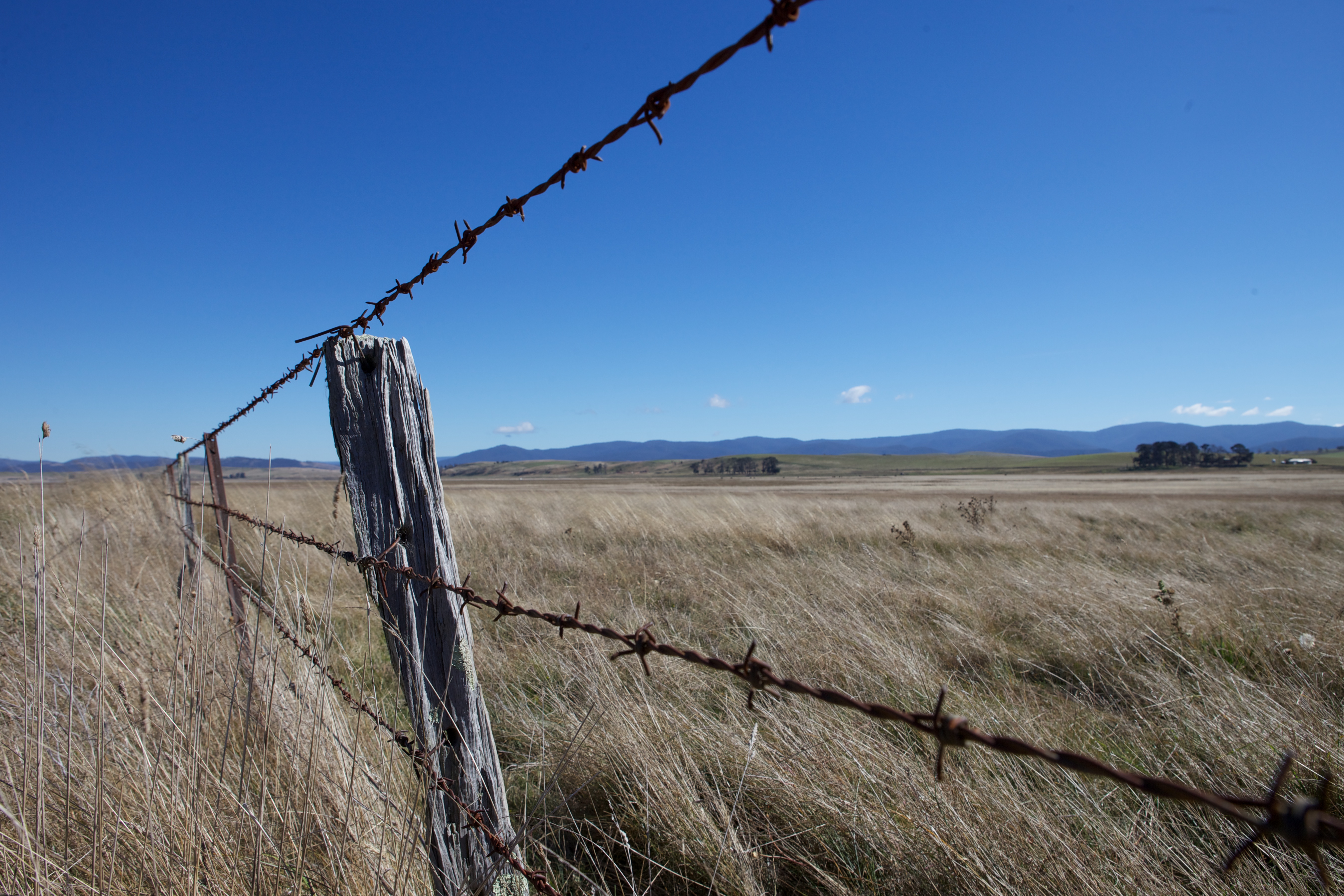
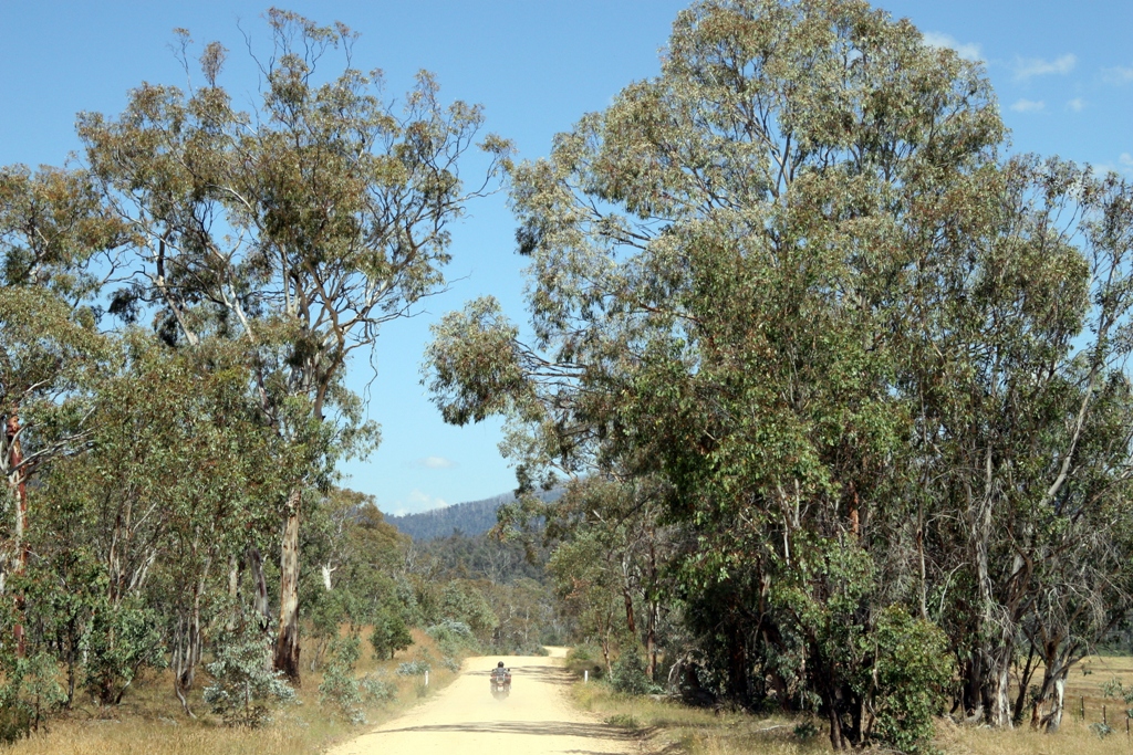
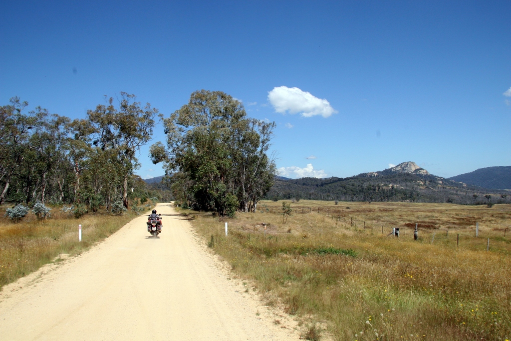
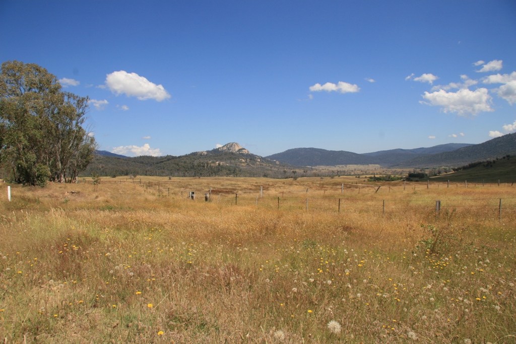
Sunrise & Sunset Photos
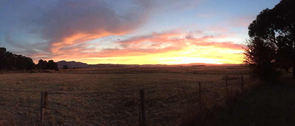
benabra - high plains sunset

Victorian High Country

Victorian High Country

Victorian High Country

D7K_0-81.jpg

Victorian High Country

Victorian High Country
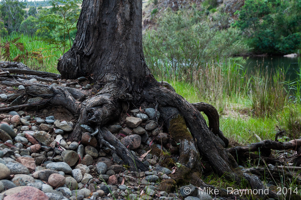
12-28-14 Tree Stump over the rocks near the Mita Mita River

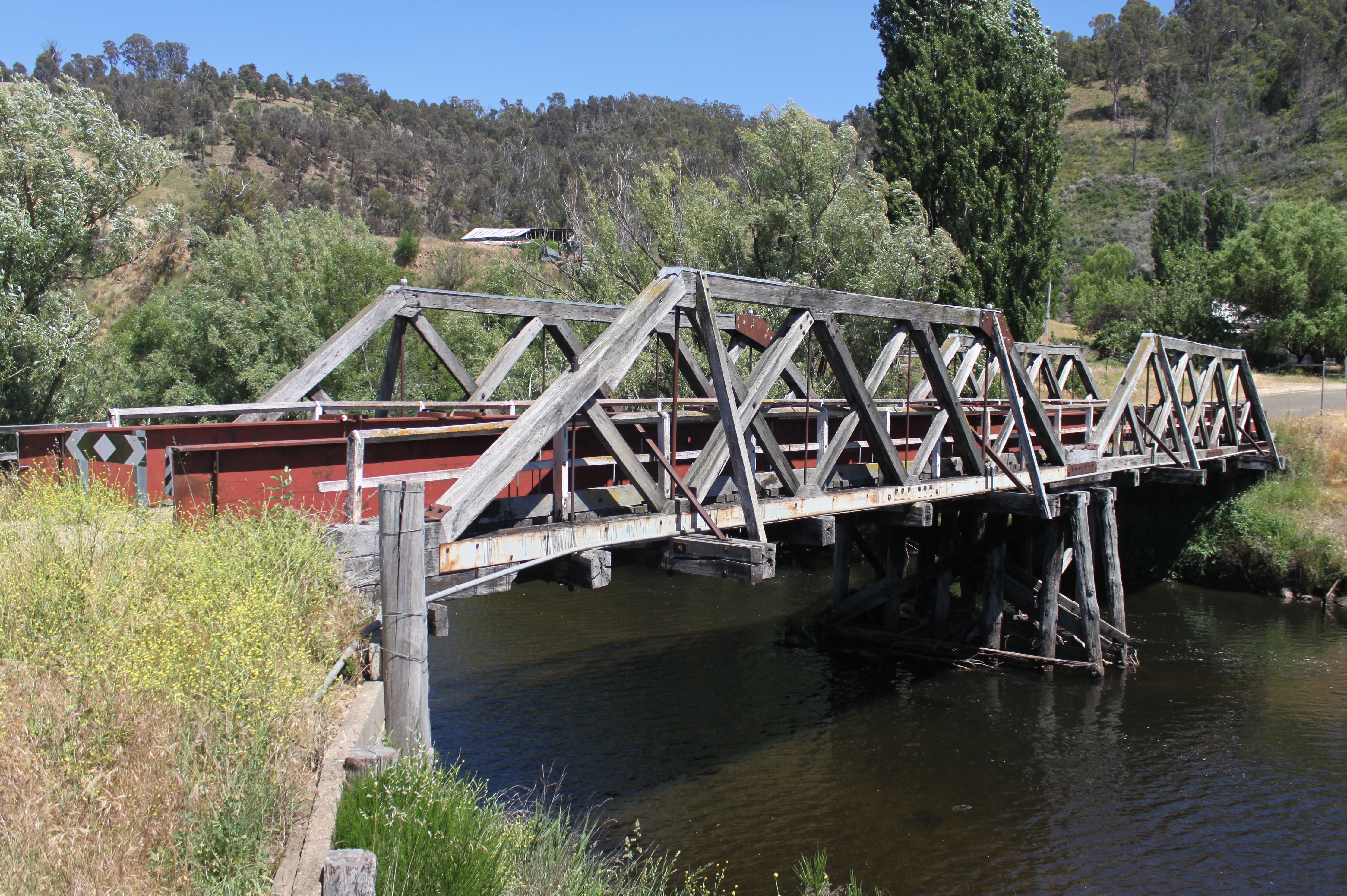
Victorian High Country
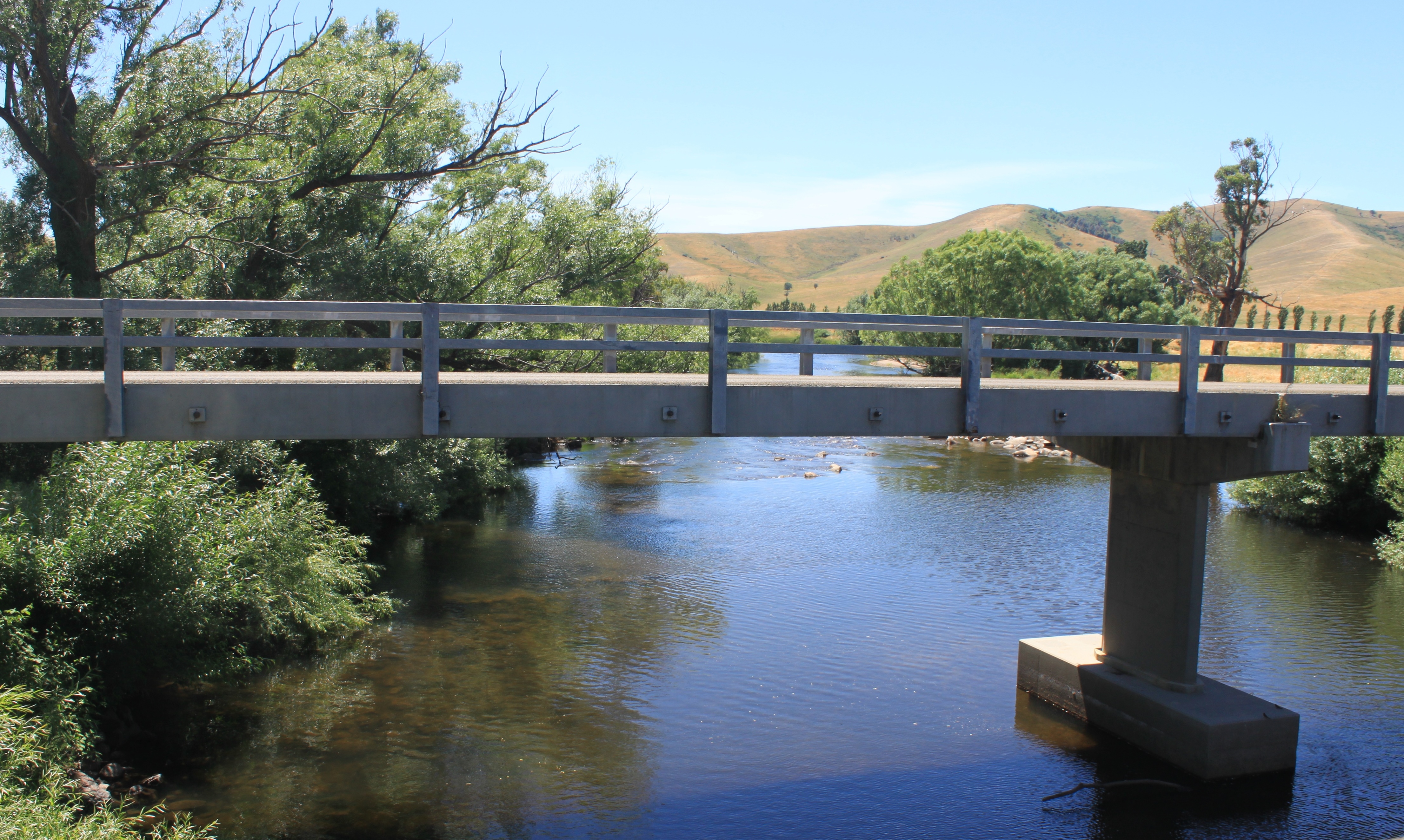
Hinnomunjie road bridge
Hinnomunjie Bridge
Lake Omeo
080105 Charlie Creek-Duck Point (7)
080105 Charlie Creek-Duck Point (6)
080105 Charlie Creek-Duck Point (5)
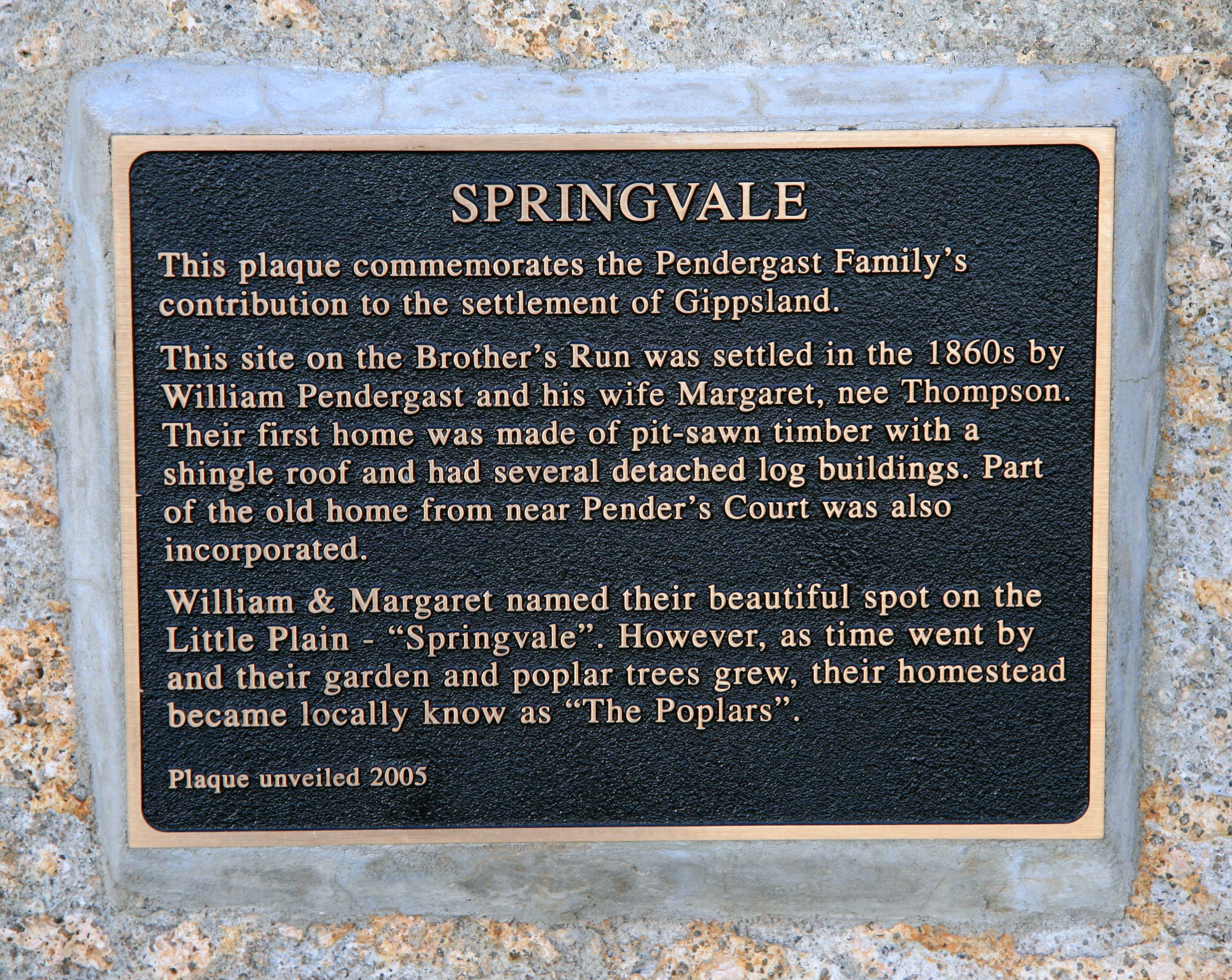
A History of Springvale
Benambra-Corryong Rd, Benambra VIC, Australia Map
Search another place
Near Places
Benambra VIC, Australia
Pilot Wilderness NSW, Australia
Wulgulmerang East VIC, Australia
Mount Hamilton, Wulgulmerang VIC, Australia
Mckillops Rd, Wulgulmerang East VIC, Australia
Wulgulmerang VIC, Australia
92 Hunter Ln, Buchan VIC, Australia
Gelantipy Rd, Buchan VIC, Australia
Buchan Valley Log Cabins, 16 Gelantipy Rd, Buchan VIC, Australia
Buchan-Orbost Rd, Buchan VIC, Australia
36 Main Rd, Buchan VIC, Australia
Buchan VIC, Australia
East Gippsland Shire, East Gippsland, VIC, Australia
Pilot Wilderness NSW, Australia
Lakes Entrance VIC, Australia
36 Odonnell Dr, Lakes Entrance VIC, Australia
67 Capes Rd, Lakes Entrance VIC, Australia
9 Ewing Ct, Lakes Entrance VIC, Australia
Lakes Entrance VIC, Australia
Lakes Entrance Tourist Pk, Princes Hwy, Lakes Entrance VIC, Australia
Recent Searches
- Sunrise Sunset Times of Red Dog Mine, AK, USA
- Sunrise Sunset Times of Am Bahnhof, Am bhf, Borken, Germany
- Sunrise Sunset Times of 4th St E, Sonoma, CA, USA
- Sunrise Sunset Times of Oakland Ave, Williamsport, PA, USA
- Sunrise Sunset Times of Via Roma, Pieranica CR, Italy
- Sunrise Sunset Times of Clock Tower of Dubrovnik, Grad, Dubrovnik, Croatia
- Sunrise Sunset Times of Trelew, Chubut Province, Argentina
- Sunrise Sunset Times of Hartfords Bluff Cir, Mt Pleasant, SC, USA
- Sunrise Sunset Times of Kita Ward, Kumamoto, Japan
- Sunrise Sunset Times of Pingtan Island, Pingtan County, Fuzhou, China