Benambra-Corryong Rd, Benambra VIC オーストラリア日の出日の入り時間
Location: オーストラリア > ビクトリア > オーストラリアEast Gippsland Shire > オーストラリア 〒 ビクトリア ベナンブラ >
時間帯:
Australia/Melbourne
現地時間:
2025-07-03 05:22:38
経度:
147.7052256
緯度:
-36.8569152
今日の日の出時刻:
07:22:35 AM
今日の日の入時刻:
05:04:19 PM
今日の日長:
9h 41m 44s
明日の日の出時刻:
07:22:27 AM
明日の日の入時刻:
05:04:49 PM
明日の日長:
9h 42m 22s
すべて表示する
| 日付 | 日出 | 日没 | 日長 |
|---|---|---|---|
| 2025年01月01日 | 05:53:37 AM | 08:31:45 PM | 14h 38m 8s |
| 2025年01月02日 | 05:54:25 AM | 08:31:53 PM | 14h 37m 28s |
| 2025年01月03日 | 05:55:14 AM | 08:32:00 PM | 14h 36m 46s |
| 2025年01月04日 | 05:56:05 AM | 08:32:04 PM | 14h 35m 59s |
| 2025年01月05日 | 05:56:57 AM | 08:32:06 PM | 14h 35m 9s |
| 2025年01月06日 | 05:57:50 AM | 08:32:06 PM | 14h 34m 16s |
| 2025年01月07日 | 05:58:44 AM | 08:32:04 PM | 14h 33m 20s |
| 2025年01月08日 | 05:59:39 AM | 08:31:59 PM | 14h 32m 20s |
| 2025年01月09日 | 06:00:35 AM | 08:31:53 PM | 14h 31m 18s |
| 2025年01月10日 | 06:01:33 AM | 08:31:45 PM | 14h 30m 12s |
| 2025年01月11日 | 06:02:31 AM | 08:31:35 PM | 14h 29m 4s |
| 2025年01月12日 | 06:03:30 AM | 08:31:22 PM | 14h 27m 52s |
| 2025年01月13日 | 06:04:30 AM | 08:31:08 PM | 14h 26m 38s |
| 2025年01月14日 | 06:05:30 AM | 08:30:51 PM | 14h 25m 21s |
| 2025年01月15日 | 06:06:31 AM | 08:30:33 PM | 14h 24m 2s |
| 2025年01月16日 | 06:07:33 AM | 08:30:12 PM | 14h 22m 39s |
| 2025年01月17日 | 06:08:36 AM | 08:29:50 PM | 14h 21m 14s |
| 2025年01月18日 | 06:09:39 AM | 08:29:25 PM | 14h 19m 46s |
| 2025年01月19日 | 06:10:43 AM | 08:28:59 PM | 14h 18m 16s |
| 2025年01月20日 | 06:11:47 AM | 08:28:31 PM | 14h 16m 44s |
| 2025年01月21日 | 06:12:52 AM | 08:28:00 PM | 14h 15m 8s |
| 2025年01月22日 | 06:13:56 AM | 08:27:28 PM | 14h 13m 32s |
| 2025年01月23日 | 06:15:02 AM | 08:26:54 PM | 14h 11m 52s |
| 2025年01月24日 | 06:16:07 AM | 08:26:18 PM | 14h 10m 11s |
| 2025年01月25日 | 06:17:13 AM | 08:25:41 PM | 14h 8m 28s |
| 2025年01月26日 | 06:18:19 AM | 08:25:01 PM | 14h 6m 42s |
| 2025年01月27日 | 06:19:25 AM | 08:24:20 PM | 14h 4m 55s |
| 2025年01月28日 | 06:20:31 AM | 08:23:37 PM | 14h 3m 6s |
| 2025年01月29日 | 06:21:38 AM | 08:22:52 PM | 14h 1m 14s |
| 2025年01月30日 | 06:22:44 AM | 08:22:06 PM | 13h 59m 22s |
| 2025年01月31日 | 06:23:51 AM | 08:21:18 PM | 13h 57m 27s |
| 2025年02月01日 | 06:24:57 AM | 08:20:28 PM | 13h 55m 31s |
| 2025年02月02日 | 06:26:03 AM | 08:19:37 PM | 13h 53m 34s |
| 2025年02月03日 | 06:27:10 AM | 08:18:44 PM | 13h 51m 34s |
| 2025年02月04日 | 06:28:16 AM | 08:17:50 PM | 13h 49m 34s |
| 2025年02月05日 | 06:29:22 AM | 08:16:54 PM | 13h 47m 32s |
| 2025年02月06日 | 06:30:28 AM | 08:15:57 PM | 13h 45m 29s |
| 2025年02月07日 | 06:31:34 AM | 08:14:58 PM | 13h 43m 24s |
| 2025年02月08日 | 06:32:39 AM | 08:13:58 PM | 13h 41m 19s |
| 2025年02月09日 | 06:33:45 AM | 08:12:56 PM | 13h 39m 11s |
| 2025年02月10日 | 06:34:50 AM | 08:11:54 PM | 13h 37m 4s |
| 2025年02月11日 | 06:35:55 AM | 08:10:50 PM | 13h 34m 55s |
| 2025年02月12日 | 06:36:59 AM | 08:09:44 PM | 13h 32m 45s |
| 2025年02月13日 | 06:38:04 AM | 08:08:38 PM | 13h 30m 34s |
| 2025年02月14日 | 06:39:08 AM | 08:07:30 PM | 13h 28m 22s |
| 2025年02月15日 | 06:40:11 AM | 08:06:21 PM | 13h 26m 10s |
| 2025年02月16日 | 06:41:15 AM | 08:05:11 PM | 13h 23m 56s |
| 2025年02月17日 | 06:42:18 AM | 08:04:00 PM | 13h 21m 42s |
| 2025年02月18日 | 06:43:21 AM | 08:02:47 PM | 13h 19m 26s |
| 2025年02月19日 | 06:44:23 AM | 08:01:34 PM | 13h 17m 11s |
| 2025年02月20日 | 06:45:25 AM | 08:00:20 PM | 13h 14m 55s |
| 2025年02月21日 | 06:46:27 AM | 07:59:05 PM | 13h 12m 38s |
| 2025年02月22日 | 06:47:28 AM | 07:57:49 PM | 13h 10m 21s |
| 2025年02月23日 | 06:48:29 AM | 07:56:32 PM | 13h 8m 3s |
| 2025年02月24日 | 06:49:30 AM | 07:55:14 PM | 13h 5m 44s |
| 2025年02月25日 | 06:50:30 AM | 07:53:55 PM | 13h 3m 25s |
| 2025年02月26日 | 06:51:30 AM | 07:52:35 PM | 13h 1m 5s |
| 2025年02月27日 | 06:52:30 AM | 07:51:15 PM | 12h 58m 45s |
| 2025年02月28日 | 06:53:29 AM | 07:49:54 PM | 12h 56m 25s |
| 2025年03月01日 | 06:54:28 AM | 07:48:33 PM | 12h 54m 5s |
| 2025年03月02日 | 06:55:26 AM | 07:47:10 PM | 12h 51m 44s |
| 2025年03月03日 | 06:56:24 AM | 07:45:47 PM | 12h 49m 23s |
| 2025年03月04日 | 06:57:22 AM | 07:44:24 PM | 12h 47m 2s |
| 2025年03月05日 | 06:58:20 AM | 07:43:00 PM | 12h 44m 40s |
| 2025年03月06日 | 06:59:17 AM | 07:41:35 PM | 12h 42m 18s |
| 2025年03月07日 | 07:00:14 AM | 07:40:10 PM | 12h 39m 56s |
| 2025年03月08日 | 07:01:10 AM | 07:38:44 PM | 12h 37m 34s |
| 2025年03月09日 | 07:02:07 AM | 07:37:18 PM | 12h 35m 11s |
| 2025年03月10日 | 07:03:03 AM | 07:35:52 PM | 12h 32m 49s |
| 2025年03月11日 | 07:03:58 AM | 07:34:25 PM | 12h 30m 27s |
| 2025年03月12日 | 07:04:54 AM | 07:32:58 PM | 12h 28m 4s |
| 2025年03月13日 | 07:05:49 AM | 07:31:30 PM | 12h 25m 41s |
| 2025年03月14日 | 07:06:44 AM | 07:30:03 PM | 12h 23m 19s |
| 2025年03月15日 | 07:07:38 AM | 07:28:35 PM | 12h 20m 57s |
| 2025年03月16日 | 07:08:33 AM | 07:27:06 PM | 12h 18m 33s |
| 2025年03月17日 | 07:09:27 AM | 07:25:38 PM | 12h 16m 11s |
| 2025年03月18日 | 07:10:21 AM | 07:24:09 PM | 12h 13m 48s |
| 2025年03月19日 | 07:11:15 AM | 07:22:41 PM | 12h 11m 26s |
| 2025年03月20日 | 07:12:08 AM | 07:21:12 PM | 12h 9m 4s |
| 2025年03月21日 | 07:13:01 AM | 07:19:43 PM | 12h 6m 42s |
| 2025年03月22日 | 07:13:55 AM | 07:18:14 PM | 12h 4m 19s |
| 2025年03月23日 | 07:14:48 AM | 07:16:45 PM | 12h 1m 57s |
| 2025年03月24日 | 07:15:40 AM | 07:15:16 PM | 11h 59m 36s |
| 2025年03月25日 | 07:16:33 AM | 07:13:47 PM | 11h 57m 14s |
| 2025年03月26日 | 07:17:26 AM | 07:12:18 PM | 11h 54m 52s |
| 2025年03月27日 | 07:18:18 AM | 07:10:50 PM | 11h 52m 32s |
| 2025年03月28日 | 07:19:11 AM | 07:09:21 PM | 11h 50m 10s |
| 2025年03月29日 | 07:20:03 AM | 07:07:53 PM | 11h 47m 50s |
| 2025年03月30日 | 07:20:55 AM | 07:06:24 PM | 11h 45m 29s |
| 2025年03月31日 | 07:21:47 AM | 07:04:56 PM | 11h 43m 9s |
| 2025年04月01日 | 07:22:39 AM | 07:03:29 PM | 11h 40m 50s |
| 2025年04月02日 | 07:23:31 AM | 07:02:01 PM | 11h 38m 30s |
| 2025年04月03日 | 07:24:23 AM | 07:00:34 PM | 11h 36m 11s |
| 2025年04月04日 | 07:25:15 AM | 06:59:07 PM | 11h 33m 52s |
| 2025年04月05日 | 07:26:07 AM | 06:57:41 PM | 11h 31m 34s |
| 2025年04月06日 | 06:27:01 AM | 05:56:11 PM | 11h 29m 10s |
| 2025年04月06日 | 06:27:01 AM | 05:56:11 PM | 11h 29m 10s |
| 2025年04月07日 | 06:27:53 AM | 05:54:46 PM | 11h 26m 53s |
| 2025年04月08日 | 06:28:44 AM | 05:53:21 PM | 11h 24m 37s |
| 2025年04月09日 | 06:29:36 AM | 05:51:56 PM | 11h 22m 20s |
| 2025年04月10日 | 06:30:28 AM | 05:50:32 PM | 11h 20m 4s |
| 2025年04月11日 | 06:31:20 AM | 05:49:08 PM | 11h 17m 48s |
| 2025年04月12日 | 06:32:12 AM | 05:47:45 PM | 11h 15m 33s |
| 2025年04月13日 | 06:33:03 AM | 05:46:23 PM | 11h 13m 20s |
| 2025年04月14日 | 06:33:55 AM | 05:45:01 PM | 11h 11m 6s |
| 2025年04月15日 | 06:34:47 AM | 05:43:40 PM | 11h 8m 53s |
| 2025年04月16日 | 06:35:39 AM | 05:42:20 PM | 11h 6m 41s |
| 2025年04月17日 | 06:36:31 AM | 05:41:00 PM | 11h 4m 29s |
| 2025年04月18日 | 06:37:23 AM | 05:39:41 PM | 11h 2m 18s |
| 2025年04月19日 | 06:38:15 AM | 05:38:23 PM | 11h 0m 8s |
| 2025年04月20日 | 06:39:06 AM | 05:37:06 PM | 10h 58m 0s |
| 2025年04月21日 | 06:39:58 AM | 05:35:49 PM | 10h 55m 51s |
| 2025年04月22日 | 06:40:50 AM | 05:34:34 PM | 10h 53m 44s |
| 2025年04月23日 | 06:41:42 AM | 05:33:19 PM | 10h 51m 37s |
| 2025年04月24日 | 06:42:34 AM | 05:32:05 PM | 10h 49m 31s |
| 2025年04月25日 | 06:43:26 AM | 05:30:52 PM | 10h 47m 26s |
| 2025年04月26日 | 06:44:18 AM | 05:29:40 PM | 10h 45m 22s |
| 2025年04月27日 | 06:45:10 AM | 05:28:29 PM | 10h 43m 19s |
| 2025年04月28日 | 06:46:02 AM | 05:27:19 PM | 10h 41m 17s |
| 2025年04月29日 | 06:46:54 AM | 05:26:11 PM | 10h 39m 17s |
| 2025年04月30日 | 06:47:46 AM | 05:25:03 PM | 10h 37m 17s |
| 2025年05月01日 | 06:48:38 AM | 05:23:56 PM | 10h 35m 18s |
| 2025年05月02日 | 06:49:29 AM | 05:22:51 PM | 10h 33m 22s |
| 2025年05月03日 | 06:50:21 AM | 05:21:47 PM | 10h 31m 26s |
| 2025年05月04日 | 06:51:13 AM | 05:20:44 PM | 10h 29m 31s |
| 2025年05月05日 | 06:52:04 AM | 05:19:42 PM | 10h 27m 38s |
| 2025年05月06日 | 06:52:55 AM | 05:18:41 PM | 10h 25m 46s |
| 2025年05月07日 | 06:53:47 AM | 05:17:42 PM | 10h 23m 55s |
| 2025年05月08日 | 06:54:38 AM | 05:16:44 PM | 10h 22m 6s |
| 2025年05月09日 | 06:55:28 AM | 05:15:47 PM | 10h 20m 19s |
| 2025年05月10日 | 06:56:19 AM | 05:14:52 PM | 10h 18m 33s |
| 2025年05月11日 | 06:57:09 AM | 05:13:58 PM | 10h 16m 49s |
| 2025年05月12日 | 06:57:59 AM | 05:13:05 PM | 10h 15m 6s |
| 2025年05月13日 | 06:58:49 AM | 05:12:14 PM | 10h 13m 25s |
| 2025年05月14日 | 06:59:39 AM | 05:11:25 PM | 10h 11m 46s |
| 2025年05月15日 | 07:00:28 AM | 05:10:36 PM | 10h 10m 8s |
| 2025年05月16日 | 07:01:17 AM | 05:09:50 PM | 10h 8m 33s |
| 2025年05月17日 | 07:02:05 AM | 05:09:04 PM | 10h 6m 59s |
| 2025年05月18日 | 07:02:53 AM | 05:08:21 PM | 10h 5m 28s |
| 2025年05月19日 | 07:03:41 AM | 05:07:39 PM | 10h 3m 58s |
| 2025年05月20日 | 07:04:28 AM | 05:06:58 PM | 10h 2m 30s |
| 2025年05月21日 | 07:05:14 AM | 05:06:19 PM | 10h 1m 5s |
| 2025年05月22日 | 07:06:01 AM | 05:05:42 PM | 9h 59m 41s |
| 2025年05月23日 | 07:06:46 AM | 05:05:06 PM | 9h 58m 20s |
| 2025年05月24日 | 07:07:31 AM | 05:04:32 PM | 9h 57m 1s |
| 2025年05月25日 | 07:08:15 AM | 05:03:59 PM | 9h 55m 44s |
| 2025年05月26日 | 07:08:59 AM | 05:03:28 PM | 9h 54m 29s |
| 2025年05月27日 | 07:09:42 AM | 05:02:59 PM | 9h 53m 17s |
| 2025年05月28日 | 07:10:24 AM | 05:02:32 PM | 9h 52m 8s |
| 2025年05月29日 | 07:11:05 AM | 05:02:06 PM | 9h 51m 1s |
| 2025年05月30日 | 07:11:46 AM | 05:01:42 PM | 9h 49m 56s |
| 2025年05月31日 | 07:12:25 AM | 05:01:19 PM | 9h 48m 54s |
| 2025年06月01日 | 07:13:04 AM | 05:00:59 PM | 9h 47m 55s |
| 2025年06月02日 | 07:13:42 AM | 05:00:40 PM | 9h 46m 58s |
| 2025年06月03日 | 07:14:19 AM | 05:00:22 PM | 9h 46m 3s |
| 2025年06月04日 | 07:14:55 AM | 05:00:07 PM | 9h 45m 12s |
| 2025年06月05日 | 07:15:30 AM | 04:59:53 PM | 9h 44m 23s |
| 2025年06月06日 | 07:16:03 AM | 04:59:41 PM | 9h 43m 38s |
| 2025年06月07日 | 07:16:36 AM | 04:59:30 PM | 9h 42m 54s |
| 2025年06月08日 | 07:17:08 AM | 04:59:22 PM | 9h 42m 14s |
| 2025年06月09日 | 07:17:38 AM | 04:59:15 PM | 9h 41m 37s |
| 2025年06月10日 | 07:18:07 AM | 04:59:09 PM | 9h 41m 2s |
| 2025年06月11日 | 07:18:35 AM | 04:59:06 PM | 9h 40m 31s |
| 2025年06月12日 | 07:19:02 AM | 04:59:04 PM | 9h 40m 2s |
| 2025年06月13日 | 07:19:27 AM | 04:59:03 PM | 9h 39m 36s |
| 2025年06月14日 | 07:19:51 AM | 04:59:05 PM | 9h 39m 14s |
| 2025年06月15日 | 07:20:14 AM | 04:59:08 PM | 9h 38m 54s |
| 2025年06月16日 | 07:20:35 AM | 04:59:12 PM | 9h 38m 37s |
| 2025年06月17日 | 07:20:54 AM | 04:59:18 PM | 9h 38m 24s |
| 2025年06月18日 | 07:21:13 AM | 04:59:26 PM | 9h 38m 13s |
| 2025年06月19日 | 07:21:30 AM | 04:59:36 PM | 9h 38m 6s |
| 2025年06月20日 | 07:21:45 AM | 04:59:46 PM | 9h 38m 1s |
| 2025年06月21日 | 07:21:59 AM | 04:59:59 PM | 9h 38m 0s |
| 2025年06月22日 | 07:22:11 AM | 05:00:13 PM | 9h 38m 2s |
| 2025年06月23日 | 07:22:21 AM | 05:00:28 PM | 9h 38m 7s |
| 2025年06月24日 | 07:22:30 AM | 05:00:45 PM | 9h 38m 15s |
| 2025年06月25日 | 07:22:38 AM | 05:01:03 PM | 9h 38m 25s |
| 2025年06月26日 | 07:22:43 AM | 05:01:23 PM | 9h 38m 40s |
| 2025年06月27日 | 07:22:47 AM | 05:01:44 PM | 9h 38m 57s |
| 2025年06月28日 | 07:22:50 AM | 05:02:06 PM | 9h 39m 16s |
| 2025年06月29日 | 07:22:50 AM | 05:02:30 PM | 9h 39m 40s |
| 2025年06月30日 | 07:22:49 AM | 05:02:55 PM | 9h 40m 6s |
| 2025年07月01日 | 07:22:47 AM | 05:03:21 PM | 9h 40m 34s |
| 2025年07月02日 | 07:22:42 AM | 05:03:48 PM | 9h 41m 6s |
| 2025年07月03日 | 07:22:36 AM | 05:04:17 PM | 9h 41m 41s |
| 2025年07月04日 | 07:22:28 AM | 05:04:46 PM | 9h 42m 18s |
| 2025年07月05日 | 07:22:18 AM | 05:05:17 PM | 9h 42m 59s |
| 2025年07月06日 | 07:22:07 AM | 05:05:49 PM | 9h 43m 42s |
| 2025年07月07日 | 07:21:54 AM | 05:06:22 PM | 9h 44m 28s |
| 2025年07月08日 | 07:21:39 AM | 05:06:55 PM | 9h 45m 16s |
| 2025年07月09日 | 07:21:22 AM | 05:07:30 PM | 9h 46m 8s |
| 2025年07月10日 | 07:21:03 AM | 05:08:06 PM | 9h 47m 3s |
| 2025年07月11日 | 07:20:43 AM | 05:08:42 PM | 9h 47m 59s |
| 2025年07月12日 | 07:20:21 AM | 05:09:20 PM | 9h 48m 59s |
| 2025年07月13日 | 07:19:57 AM | 05:09:58 PM | 9h 50m 1s |
| 2025年07月14日 | 07:19:32 AM | 05:10:37 PM | 9h 51m 5s |
| 2025年07月15日 | 07:19:05 AM | 05:11:17 PM | 9h 52m 12s |
| 2025年07月16日 | 07:18:36 AM | 05:11:57 PM | 9h 53m 21s |
| 2025年07月17日 | 07:18:05 AM | 05:12:38 PM | 9h 54m 33s |
| 2025年07月18日 | 07:17:33 AM | 05:13:20 PM | 9h 55m 47s |
| 2025年07月19日 | 07:16:59 AM | 05:14:02 PM | 9h 57m 3s |
| 2025年07月20日 | 07:16:23 AM | 05:14:45 PM | 9h 58m 22s |
| 2025年07月21日 | 07:15:46 AM | 05:15:29 PM | 9h 59m 43s |
| 2025年07月22日 | 07:15:07 AM | 05:16:13 PM | 10h 1m 6s |
| 2025年07月23日 | 07:14:27 AM | 05:16:57 PM | 10h 2m 30s |
| 2025年07月24日 | 07:13:44 AM | 05:17:42 PM | 10h 3m 58s |
| 2025年07月25日 | 07:13:01 AM | 05:18:27 PM | 10h 5m 26s |
| 2025年07月26日 | 07:12:15 AM | 05:19:13 PM | 10h 6m 58s |
| 2025年07月27日 | 07:11:29 AM | 05:19:58 PM | 10h 8m 29s |
| 2025年07月28日 | 07:10:40 AM | 05:20:45 PM | 10h 10m 5s |
| 2025年07月29日 | 07:09:50 AM | 05:21:31 PM | 10h 11m 41s |
| 2025年07月30日 | 07:08:59 AM | 05:22:18 PM | 10h 13m 19s |
| 2025年07月31日 | 07:08:06 AM | 05:23:05 PM | 10h 14m 59s |
| 2025年08月01日 | 07:07:12 AM | 05:23:52 PM | 10h 16m 40s |
| 2025年08月02日 | 07:06:16 AM | 05:24:40 PM | 10h 18m 24s |
| 2025年08月03日 | 07:05:19 AM | 05:25:28 PM | 10h 20m 9s |
| 2025年08月04日 | 07:04:21 AM | 05:26:15 PM | 10h 21m 54s |
| 2025年08月05日 | 07:03:21 AM | 05:27:03 PM | 10h 23m 42s |
| 2025年08月06日 | 07:02:20 AM | 05:27:51 PM | 10h 25m 31s |
| 2025年08月07日 | 07:01:18 AM | 05:28:40 PM | 10h 27m 22s |
| 2025年08月08日 | 07:00:14 AM | 05:29:28 PM | 10h 29m 14s |
| 2025年08月09日 | 06:59:09 AM | 05:30:16 PM | 10h 31m 7s |
| 2025年08月10日 | 06:58:03 AM | 05:31:04 PM | 10h 33m 1s |
| 2025年08月11日 | 06:56:56 AM | 05:31:53 PM | 10h 34m 57s |
| 2025年08月12日 | 06:55:48 AM | 05:32:41 PM | 10h 36m 53s |
| 2025年08月13日 | 06:54:38 AM | 05:33:30 PM | 10h 38m 52s |
| 2025年08月14日 | 06:53:28 AM | 05:34:18 PM | 10h 40m 50s |
| 2025年08月15日 | 06:52:16 AM | 05:35:06 PM | 10h 42m 50s |
| 2025年08月16日 | 06:51:03 AM | 05:35:55 PM | 10h 44m 52s |
| 2025年08月17日 | 06:49:50 AM | 05:36:43 PM | 10h 46m 53s |
| 2025年08月18日 | 06:48:35 AM | 05:37:31 PM | 10h 48m 56s |
| 2025年08月19日 | 06:47:19 AM | 05:38:20 PM | 10h 51m 1s |
| 2025年08月20日 | 06:46:03 AM | 05:39:08 PM | 10h 53m 5s |
| 2025年08月21日 | 06:44:45 AM | 05:39:56 PM | 10h 55m 11s |
| 2025年08月22日 | 06:43:27 AM | 05:40:44 PM | 10h 57m 17s |
| 2025年08月23日 | 06:42:08 AM | 05:41:32 PM | 10h 59m 24s |
| 2025年08月24日 | 06:40:48 AM | 05:42:20 PM | 11h 1m 32s |
| 2025年08月25日 | 06:39:27 AM | 05:43:08 PM | 11h 3m 41s |
| 2025年08月26日 | 06:38:05 AM | 05:43:56 PM | 11h 5m 51s |
| 2025年08月27日 | 06:36:43 AM | 05:44:44 PM | 11h 8m 1s |
| 2025年08月28日 | 06:35:20 AM | 05:45:32 PM | 11h 10m 12s |
| 2025年08月29日 | 06:33:56 AM | 05:46:20 PM | 11h 12m 24s |
| 2025年08月30日 | 06:32:32 AM | 05:47:07 PM | 11h 14m 35s |
| 2025年08月31日 | 06:31:07 AM | 05:47:55 PM | 11h 16m 48s |
| 2025年09月01日 | 06:29:42 AM | 05:48:43 PM | 11h 19m 1s |
| 2025年09月02日 | 06:28:15 AM | 05:49:30 PM | 11h 21m 15s |
| 2025年09月03日 | 06:26:49 AM | 05:50:18 PM | 11h 23m 29s |
| 2025年09月04日 | 06:25:22 AM | 05:51:05 PM | 11h 25m 43s |
| 2025年09月05日 | 06:23:54 AM | 05:51:53 PM | 11h 27m 59s |
| 2025年09月06日 | 06:22:26 AM | 05:52:41 PM | 11h 30m 15s |
| 2025年09月07日 | 06:20:58 AM | 05:53:28 PM | 11h 32m 30s |
| 2025年09月08日 | 06:19:29 AM | 05:54:16 PM | 11h 34m 47s |
| 2025年09月09日 | 06:18:00 AM | 05:55:03 PM | 11h 37m 3s |
| 2025年09月10日 | 06:16:30 AM | 05:55:51 PM | 11h 39m 21s |
| 2025年09月11日 | 06:15:01 AM | 05:56:38 PM | 11h 41m 37s |
| 2025年09月12日 | 06:13:30 AM | 05:57:26 PM | 11h 43m 56s |
| 2025年09月13日 | 06:12:00 AM | 05:58:14 PM | 11h 46m 14s |
| 2025年09月14日 | 06:10:30 AM | 05:59:02 PM | 11h 48m 32s |
| 2025年09月15日 | 06:08:59 AM | 05:59:50 PM | 11h 50m 51s |
| 2025年09月16日 | 06:07:28 AM | 06:00:38 PM | 11h 53m 10s |
| 2025年09月17日 | 06:05:57 AM | 06:01:26 PM | 11h 55m 29s |
| 2025年09月18日 | 06:04:26 AM | 06:02:14 PM | 11h 57m 48s |
| 2025年09月19日 | 06:02:55 AM | 06:03:02 PM | 12h 0m 7s |
| 2025年09月20日 | 06:01:24 AM | 06:03:51 PM | 12h 2m 27s |
| 2025年09月21日 | 05:59:52 AM | 06:04:39 PM | 12h 4m 47s |
| 2025年09月22日 | 05:58:21 AM | 06:05:28 PM | 12h 7m 7s |
| 2025年09月23日 | 05:56:50 AM | 06:06:17 PM | 12h 9m 27s |
| 2025年09月24日 | 05:55:19 AM | 06:07:06 PM | 12h 11m 47s |
| 2025年09月25日 | 05:53:48 AM | 06:07:55 PM | 12h 14m 7s |
| 2025年09月26日 | 05:52:17 AM | 06:08:45 PM | 12h 16m 28s |
| 2025年09月27日 | 05:50:47 AM | 06:09:35 PM | 12h 18m 48s |
| 2025年09月28日 | 05:49:16 AM | 06:10:25 PM | 12h 21m 9s |
| 2025年09月29日 | 05:47:46 AM | 06:11:15 PM | 12h 23m 29s |
| 2025年09月30日 | 05:46:16 AM | 06:12:05 PM | 12h 25m 49s |
| 2025年10月01日 | 05:44:46 AM | 06:12:56 PM | 12h 28m 10s |
| 2025年10月02日 | 05:43:17 AM | 06:13:47 PM | 12h 30m 30s |
| 2025年10月03日 | 05:41:48 AM | 06:14:38 PM | 12h 32m 50s |
| 2025年10月04日 | 05:40:19 AM | 06:15:30 PM | 12h 35m 11s |
| 2025年10月06日 | 06:37:26 AM | 07:17:12 PM | 12h 39m 46s |
| 2025年10月07日 | 06:35:59 AM | 07:18:04 PM | 12h 42m 5s |
| 2025年10月08日 | 06:34:32 AM | 07:18:57 PM | 12h 44m 25s |
| 2025年10月09日 | 06:33:06 AM | 07:19:50 PM | 12h 46m 44s |
| 2025年10月10日 | 06:31:40 AM | 07:20:44 PM | 12h 49m 4s |
| 2025年10月11日 | 06:30:14 AM | 07:21:37 PM | 12h 51m 23s |
| 2025年10月12日 | 06:28:50 AM | 07:22:32 PM | 12h 53m 42s |
| 2025年10月13日 | 06:27:26 AM | 07:23:26 PM | 12h 56m 0s |
| 2025年10月14日 | 06:26:02 AM | 07:24:21 PM | 12h 58m 19s |
| 2025年10月15日 | 06:24:40 AM | 07:25:17 PM | 13h 0m 37s |
| 2025年10月16日 | 06:23:18 AM | 07:26:12 PM | 13h 2m 54s |
| 2025年10月17日 | 06:21:57 AM | 07:27:08 PM | 13h 5m 11s |
| 2025年10月18日 | 06:20:37 AM | 07:28:05 PM | 13h 7m 28s |
| 2025年10月19日 | 06:19:17 AM | 07:29:02 PM | 13h 9m 45s |
| 2025年10月20日 | 06:17:59 AM | 07:29:59 PM | 13h 12m 0s |
| 2025年10月21日 | 06:16:41 AM | 07:30:56 PM | 13h 14m 15s |
| 2025年10月22日 | 06:15:24 AM | 07:31:54 PM | 13h 16m 30s |
| 2025年10月23日 | 06:14:09 AM | 07:32:53 PM | 13h 18m 44s |
| 2025年10月24日 | 06:12:54 AM | 07:33:51 PM | 13h 20m 57s |
| 2025年10月25日 | 06:11:40 AM | 07:34:51 PM | 13h 23m 11s |
| 2025年10月26日 | 06:10:28 AM | 07:35:50 PM | 13h 25m 22s |
| 2025年10月27日 | 06:09:16 AM | 07:36:50 PM | 13h 27m 34s |
| 2025年10月28日 | 06:08:06 AM | 07:37:50 PM | 13h 29m 44s |
| 2025年10月29日 | 06:06:57 AM | 07:38:50 PM | 13h 31m 53s |
| 2025年10月30日 | 06:05:49 AM | 07:39:51 PM | 13h 34m 2s |
| 2025年10月31日 | 06:04:42 AM | 07:40:52 PM | 13h 36m 10s |
| 2025年11月01日 | 06:03:37 AM | 07:41:54 PM | 13h 38m 17s |
| 2025年11月02日 | 06:02:33 AM | 07:42:56 PM | 13h 40m 23s |
| 2025年11月03日 | 06:01:30 AM | 07:43:58 PM | 13h 42m 28s |
| 2025年11月04日 | 06:00:28 AM | 07:45:00 PM | 13h 44m 32s |
| 2025年11月05日 | 05:59:28 AM | 07:46:02 PM | 13h 46m 34s |
| 2025年11月06日 | 05:58:30 AM | 07:47:05 PM | 13h 48m 35s |
| 2025年11月07日 | 05:57:33 AM | 07:48:08 PM | 13h 50m 35s |
| 2025年11月08日 | 05:56:37 AM | 07:49:11 PM | 13h 52m 34s |
| 2025年11月09日 | 05:55:43 AM | 07:50:14 PM | 13h 54m 31s |
| 2025年11月10日 | 05:54:51 AM | 07:51:17 PM | 13h 56m 26s |
| 2025年11月11日 | 05:54:00 AM | 07:52:21 PM | 13h 58m 21s |
| 2025年11月12日 | 05:53:11 AM | 07:53:24 PM | 14h 0m 13s |
| 2025年11月13日 | 05:52:24 AM | 07:54:28 PM | 14h 2m 4s |
| 2025年11月14日 | 05:51:38 AM | 07:55:31 PM | 14h 3m 53s |
| 2025年11月15日 | 05:50:54 AM | 07:56:35 PM | 14h 5m 41s |
| 2025年11月16日 | 05:50:12 AM | 07:57:38 PM | 14h 7m 26s |
| 2025年11月17日 | 05:49:31 AM | 07:58:41 PM | 14h 9m 10s |
| 2025年11月18日 | 05:48:52 AM | 07:59:44 PM | 14h 10m 52s |
| 2025年11月19日 | 05:48:16 AM | 08:00:47 PM | 14h 12m 31s |
| 2025年11月20日 | 05:47:41 AM | 08:01:50 PM | 14h 14m 9s |
| 2025年11月21日 | 05:47:08 AM | 08:02:52 PM | 14h 15m 44s |
| 2025年11月22日 | 05:46:36 AM | 08:03:54 PM | 14h 17m 18s |
| 2025年11月23日 | 05:46:07 AM | 08:04:56 PM | 14h 18m 49s |
| 2025年11月24日 | 05:45:40 AM | 08:05:57 PM | 14h 20m 17s |
| 2025年11月25日 | 05:45:15 AM | 08:06:58 PM | 14h 21m 43s |
| 2025年11月26日 | 05:44:52 AM | 08:07:59 PM | 14h 23m 7s |
| 2025年11月27日 | 05:44:30 AM | 08:08:58 PM | 14h 24m 28s |
| 2025年11月28日 | 05:44:11 AM | 08:09:58 PM | 14h 25m 47s |
| 2025年11月29日 | 05:43:54 AM | 08:10:56 PM | 14h 27m 2s |
| 2025年11月30日 | 05:43:39 AM | 08:11:54 PM | 14h 28m 15s |
| 2025年12月01日 | 05:43:26 AM | 08:12:51 PM | 14h 29m 25s |
| 2025年12月02日 | 05:43:15 AM | 08:13:48 PM | 14h 30m 33s |
| 2025年12月03日 | 05:43:06 AM | 08:14:43 PM | 14h 31m 37s |
| 2025年12月04日 | 05:43:00 AM | 08:15:38 PM | 14h 32m 38s |
| 2025年12月05日 | 05:42:55 AM | 08:16:31 PM | 14h 33m 36s |
| 2025年12月06日 | 05:42:52 AM | 08:17:24 PM | 14h 34m 32s |
| 2025年12月07日 | 05:42:52 AM | 08:18:15 PM | 14h 35m 23s |
| 2025年12月08日 | 05:42:54 AM | 08:19:06 PM | 14h 36m 12s |
| 2025年12月09日 | 05:42:58 AM | 08:19:55 PM | 14h 36m 57s |
| 2025年12月10日 | 05:43:04 AM | 08:20:43 PM | 14h 37m 39s |
| 2025年12月11日 | 05:43:12 AM | 08:21:30 PM | 14h 38m 18s |
| 2025年12月12日 | 05:43:22 AM | 08:22:16 PM | 14h 38m 54s |
| 2025年12月13日 | 05:43:34 AM | 08:23:00 PM | 14h 39m 26s |
| 2025年12月14日 | 05:43:48 AM | 08:23:42 PM | 14h 39m 54s |
| 2025年12月15日 | 05:44:04 AM | 08:24:24 PM | 14h 40m 20s |
| 2025年12月16日 | 05:44:23 AM | 08:25:03 PM | 14h 40m 40s |
| 2025年12月17日 | 05:44:43 AM | 08:25:42 PM | 14h 40m 59s |
| 2025年12月18日 | 05:45:05 AM | 08:26:18 PM | 14h 41m 13s |
| 2025年12月19日 | 05:45:29 AM | 08:26:53 PM | 14h 41m 24s |
| 2025年12月20日 | 05:45:55 AM | 08:27:26 PM | 14h 41m 31s |
| 2025年12月21日 | 05:46:23 AM | 08:27:58 PM | 14h 41m 35s |
| 2025年12月22日 | 05:46:53 AM | 08:28:28 PM | 14h 41m 35s |
| 2025年12月23日 | 05:47:25 AM | 08:28:56 PM | 14h 41m 31s |
| 2025年12月24日 | 05:47:58 AM | 08:29:22 PM | 14h 41m 24s |
| 2025年12月25日 | 05:48:33 AM | 08:29:46 PM | 14h 41m 13s |
| 2025年12月26日 | 05:49:10 AM | 08:30:09 PM | 14h 40m 59s |
| 2025年12月27日 | 05:49:49 AM | 08:30:29 PM | 14h 40m 40s |
| 2025年12月28日 | 05:50:29 AM | 08:30:48 PM | 14h 40m 19s |
| 2025年12月29日 | 05:51:11 AM | 08:31:05 PM | 14h 39m 54s |
| 2025年12月30日 | 05:51:54 AM | 08:31:19 PM | 14h 39m 25s |
| 2025年12月31日 | 05:52:39 AM | 08:31:32 PM | 14h 38m 53s |
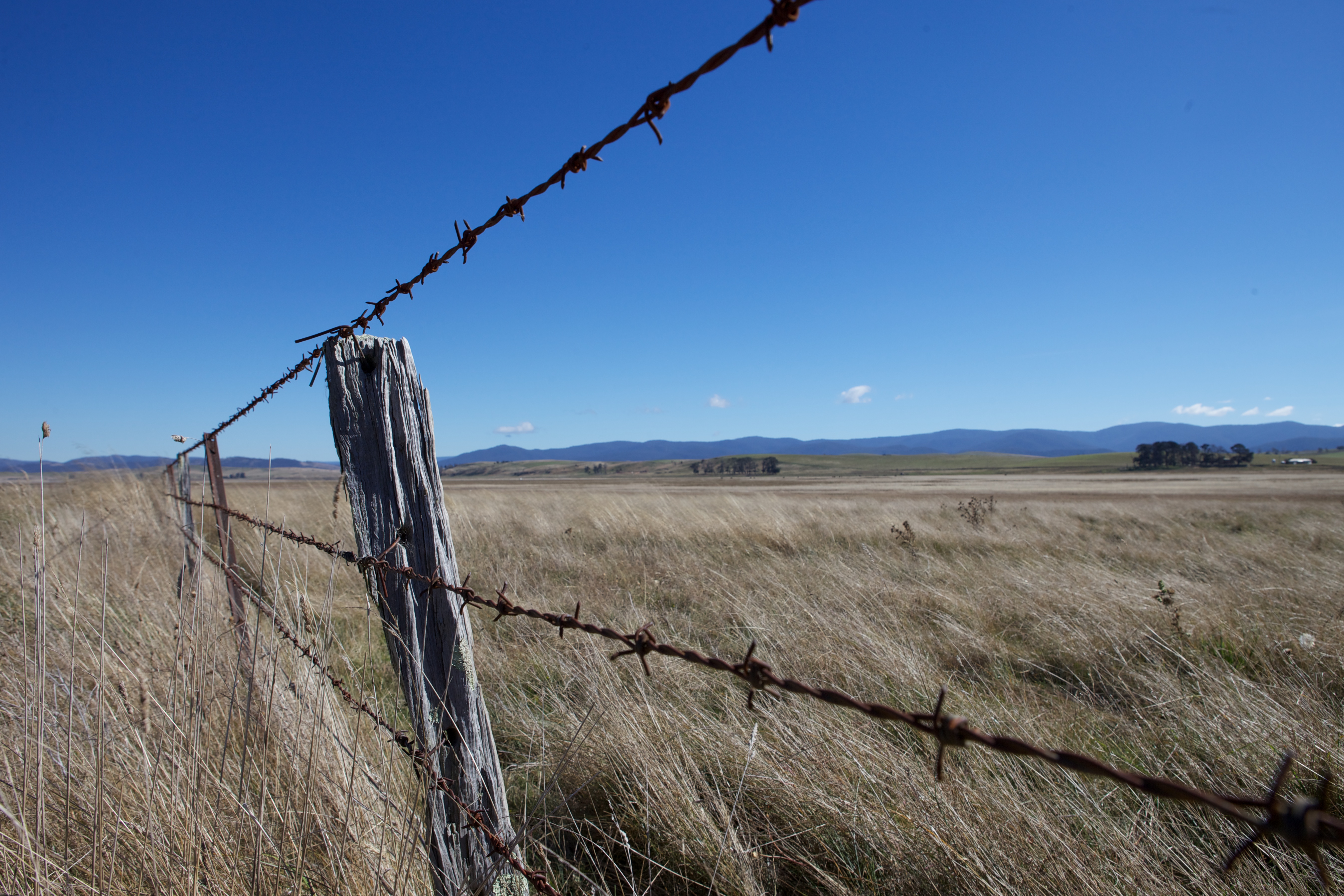
写真
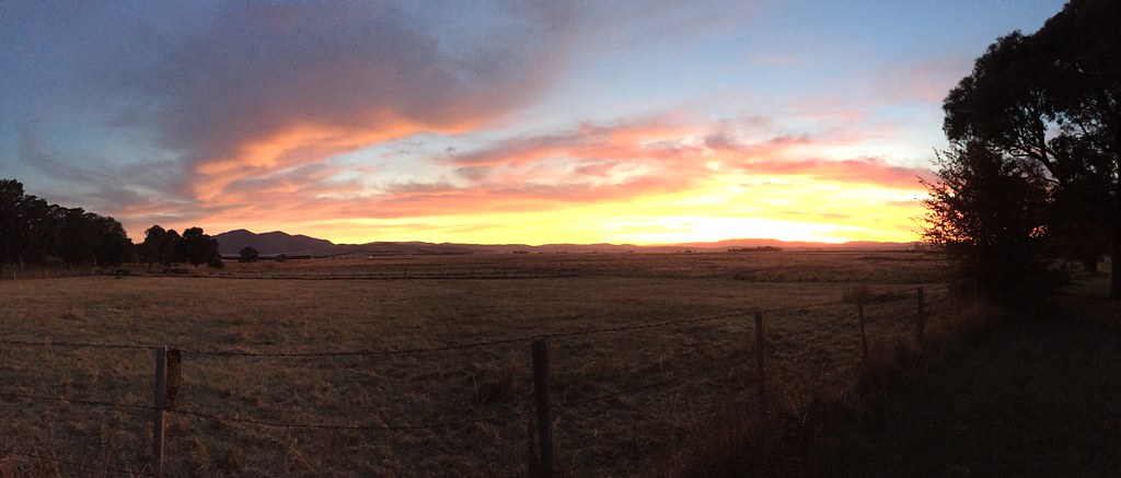
benabra - high plains sunset

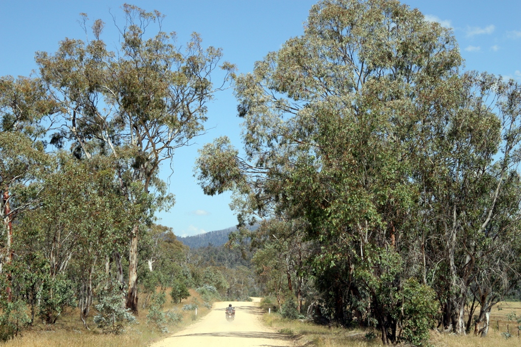
Victorian High Country

Victorian High Country

Victorian High Country

D7K_0-81.jpg

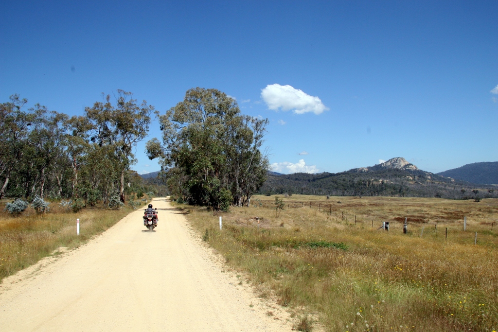
Victorian High Country

Victorian High Country
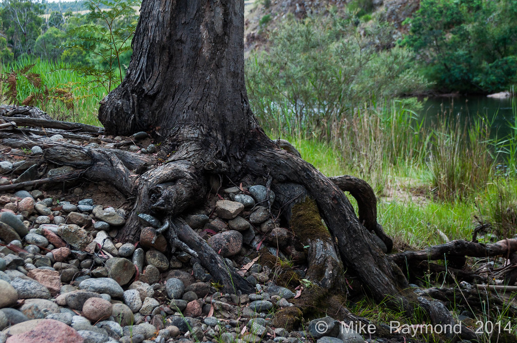
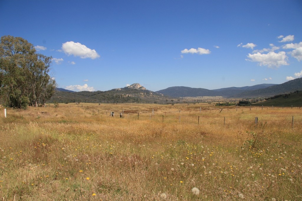
12-28-14 Tree Stump over the rocks near the Mita Mita River

Victorian High Country
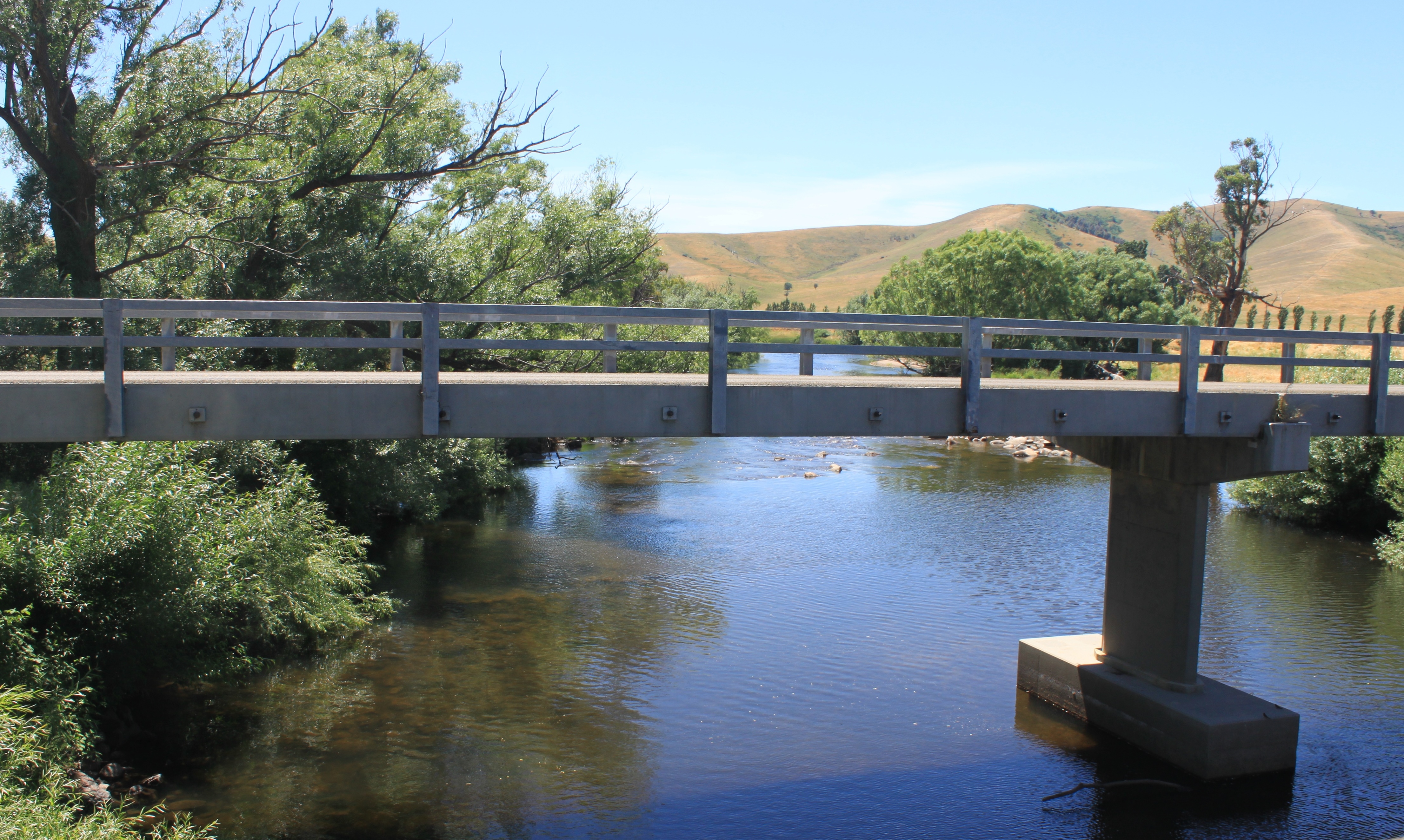
Hinnomunjie road bridge
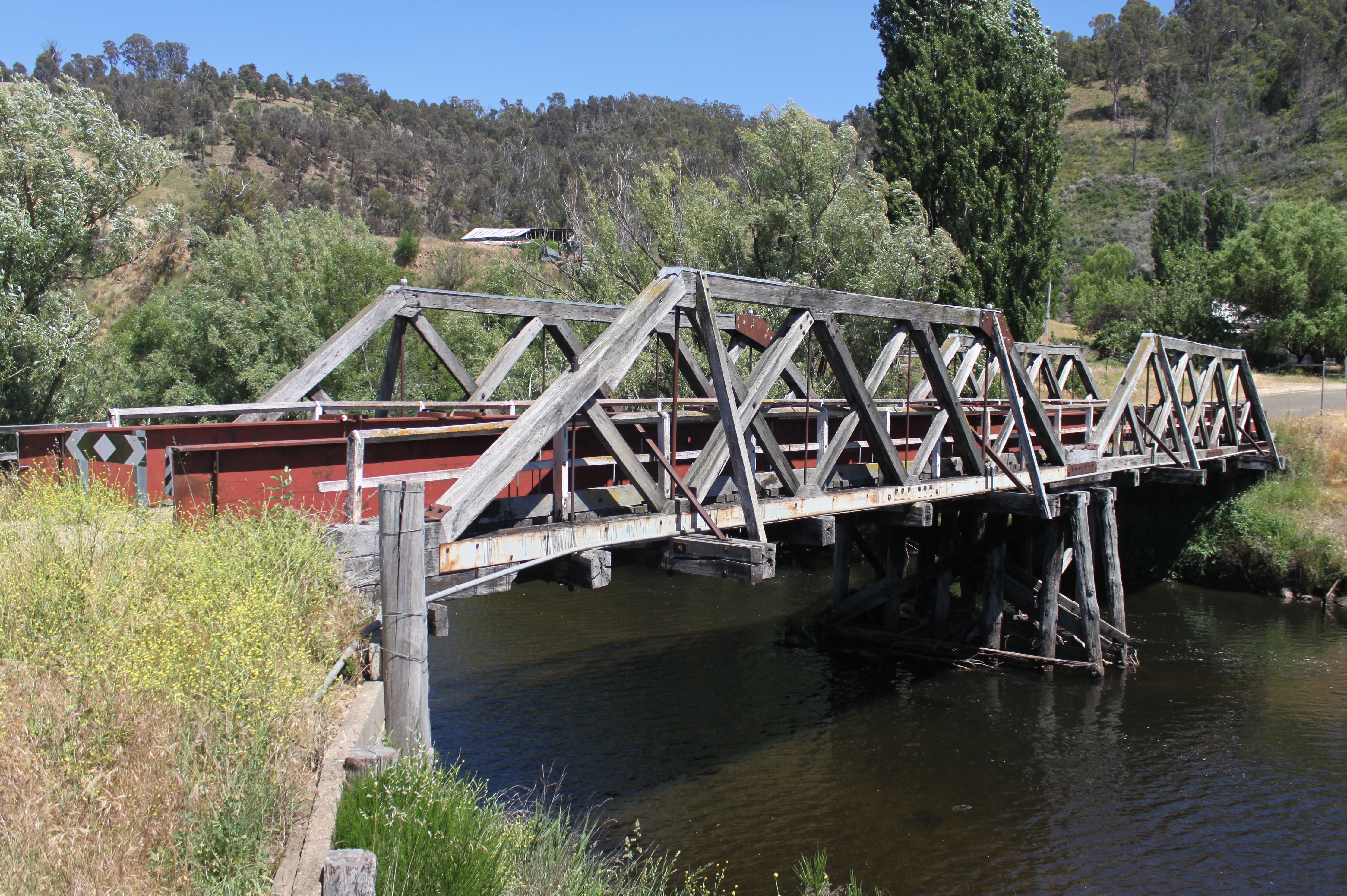
Hinnomunjie Bridge
Lake Omeo
080105 Charlie Creek-Duck Point (7)
080105 Charlie Creek-Duck Point (6)
080105 Charlie Creek-Duck Point (5)
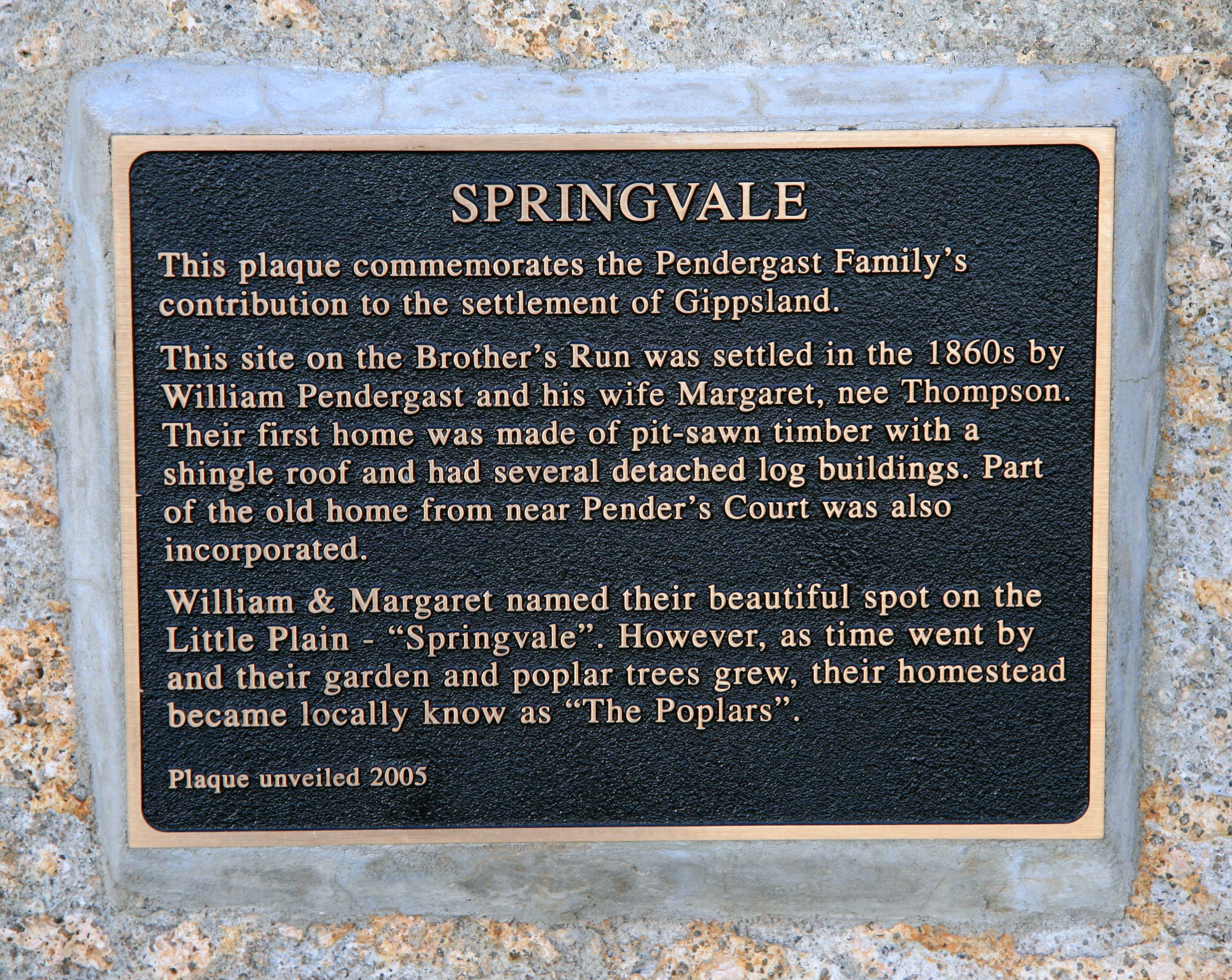
A History of Springvale
Benambra-Corryong Rd, Benambra VIC オーストラリアの地図
別の場所を検索
近所の場所
オーストラリア 〒 ビクトリア ベナンブラ
オーストラリア 〒 ニューサウスウェールズ パイロット・ワイルダーネス
オーストラリア 〒 ビクトリア ウルガルマラン・イースト
オーストラリア 〒 ビクトリア ウルガルマラン ハミルトン山
Mckillops Rd, Wulgulmerang East VIC オーストラリア
オーストラリア 〒 ビクトリア ウルガルマラン
92 Hunter Ln, Buchan VIC オーストラリア
Gelantipy Rd, Buchan VIC オーストラリア
16 Gelantipy Rd, Buchan VIC オーストラリアBuchan Valley Log Cabins
Buchan-Orbost Rd, Buchan VIC オーストラリア
36 Main Rd, Buchan VIC オーストラリア
オーストラリア 〒 ビクトリア バカン
East Gippsland, VIC, オーストラリアEast Gippsland Shire
オーストラリア 〒 ニューサウスウェールズ パイロット・ワイルダーネス
オーストラリア 〒 ビクトリア レイクス・エントランス
36 Odonnell Dr, Lakes Entrance VIC オーストラリア
67 Capes Rd, Lakes Entrance VIC オーストラリア
9 Ewing Ct, Lakes Entrance VIC オーストラリア
オーストラリア 〒 ビクトリア レイクス・エントランス
Lakes Entrance Tourist Pk, Princes Hwy, Lakes Entrance VIC オーストラリア
最近の検索
- アメリカ合衆国 アラスカ州 レッド・ドッグ・マイン日の出日の入り時間
- Am bhf, Borken, ドイツアム・バーンホーフ日の出日の入り時間
- 4th St E, Sonoma, CA, USA日の出日の入り時間
- Oakland Ave, Williamsport, PA アメリカ合衆国日の出日の入り時間
- Via Roma, Pieranica CR, イタリアローマ通り日の出日の入り時間
- クロアチア 〒 ドゥブロブニク GradClock Tower of Dubrovnik日の出日の入り時間
- アルゼンチン チュブ州 トレリュー日の出日の入り時間
- Hartfords Bluff Cir, Mt Pleasant, SC アメリカ合衆国日の出日の入り時間
- 日本、熊本県熊本市北区日の出日の入り時間
- 中華人民共和国 福州市 平潭県 平潭島日の出日の入り時間