アメリカ合衆国 〒 カリフォルニア州 ワーナー・スプリングス日の出日の入り時間
Location: アメリカ合衆国 > カリフォルニア州 > サンディエゴ >
時間帯:
America/Los_Angeles
現地時間:
2025-06-24 15:06:30
経度:
-116.6494394
緯度:
33.2769753
今日の日の出時刻:
05:38:59 AM
今日の日の入時刻:
07:59:53 PM
今日の日長:
14h 20m 54s
明日の日の出時刻:
05:39:18 AM
明日の日の入時刻:
07:59:59 PM
明日の日長:
14h 20m 41s
すべて表示する
| 日付 | 日出 | 日没 | 日長 |
|---|---|---|---|
| 2025年01月01日 | 06:50:25 AM | 04:51:12 PM | 10h 0m 47s |
| 2025年01月02日 | 06:50:34 AM | 04:51:59 PM | 10h 1m 25s |
| 2025年01月03日 | 06:50:41 AM | 04:52:46 PM | 10h 2m 5s |
| 2025年01月04日 | 06:50:46 AM | 04:53:34 PM | 10h 2m 48s |
| 2025年01月05日 | 06:50:50 AM | 04:54:23 PM | 10h 3m 33s |
| 2025年01月06日 | 06:50:51 AM | 04:55:13 PM | 10h 4m 22s |
| 2025年01月07日 | 06:50:51 AM | 04:56:04 PM | 10h 5m 13s |
| 2025年01月08日 | 06:50:49 AM | 04:56:56 PM | 10h 6m 7s |
| 2025年01月09日 | 06:50:45 AM | 04:57:48 PM | 10h 7m 3s |
| 2025年01月10日 | 06:50:39 AM | 04:58:41 PM | 10h 8m 2s |
| 2025年01月11日 | 06:50:31 AM | 04:59:35 PM | 10h 9m 4s |
| 2025年01月12日 | 06:50:22 AM | 05:00:29 PM | 10h 10m 7s |
| 2025年01月13日 | 06:50:11 AM | 05:01:24 PM | 10h 11m 13s |
| 2025年01月14日 | 06:49:58 AM | 05:02:19 PM | 10h 12m 21s |
| 2025年01月15日 | 06:49:43 AM | 05:03:14 PM | 10h 13m 31s |
| 2025年01月16日 | 06:49:26 AM | 05:04:10 PM | 10h 14m 44s |
| 2025年01月17日 | 06:49:08 AM | 05:05:07 PM | 10h 15m 59s |
| 2025年01月18日 | 06:48:48 AM | 05:06:04 PM | 10h 17m 16s |
| 2025年01月19日 | 06:48:26 AM | 05:07:01 PM | 10h 18m 35s |
| 2025年01月20日 | 06:48:02 AM | 05:07:58 PM | 10h 19m 56s |
| 2025年01月21日 | 06:47:36 AM | 05:08:55 PM | 10h 21m 19s |
| 2025年01月22日 | 06:47:09 AM | 05:09:53 PM | 10h 22m 44s |
| 2025年01月23日 | 06:46:40 AM | 05:10:50 PM | 10h 24m 10s |
| 2025年01月24日 | 06:46:10 AM | 05:11:48 PM | 10h 25m 38s |
| 2025年01月25日 | 06:45:38 AM | 05:12:46 PM | 10h 27m 8s |
| 2025年01月26日 | 06:45:04 AM | 05:13:44 PM | 10h 28m 40s |
| 2025年01月27日 | 06:44:28 AM | 05:14:42 PM | 10h 30m 14s |
| 2025年01月28日 | 06:43:51 AM | 05:15:40 PM | 10h 31m 49s |
| 2025年01月29日 | 06:43:13 AM | 05:16:37 PM | 10h 33m 24s |
| 2025年01月30日 | 06:42:33 AM | 05:17:35 PM | 10h 35m 2s |
| 2025年01月31日 | 06:41:51 AM | 05:18:33 PM | 10h 36m 42s |
| 2025年02月01日 | 06:41:08 AM | 05:19:30 PM | 10h 38m 22s |
| 2025年02月02日 | 06:40:23 AM | 05:20:27 PM | 10h 40m 4s |
| 2025年02月03日 | 06:39:37 AM | 05:21:24 PM | 10h 41m 47s |
| 2025年02月04日 | 06:38:50 AM | 05:22:21 PM | 10h 43m 31s |
| 2025年02月05日 | 06:38:01 AM | 05:23:18 PM | 10h 45m 17s |
| 2025年02月06日 | 06:37:11 AM | 05:24:14 PM | 10h 47m 3s |
| 2025年02月07日 | 06:36:19 AM | 05:25:11 PM | 10h 48m 52s |
| 2025年02月08日 | 06:35:26 AM | 05:26:07 PM | 10h 50m 41s |
| 2025年02月09日 | 06:34:32 AM | 05:27:02 PM | 10h 52m 30s |
| 2025年02月10日 | 06:33:37 AM | 05:27:57 PM | 10h 54m 20s |
| 2025年02月11日 | 06:32:40 AM | 05:28:53 PM | 10h 56m 13s |
| 2025年02月12日 | 06:31:42 AM | 05:29:47 PM | 10h 58m 5s |
| 2025年02月13日 | 06:30:43 AM | 05:30:42 PM | 10h 59m 59s |
| 2025年02月14日 | 06:29:43 AM | 05:31:36 PM | 11h 1m 53s |
| 2025年02月15日 | 06:28:42 AM | 05:32:29 PM | 11h 3m 47s |
| 2025年02月16日 | 06:27:40 AM | 05:33:23 PM | 11h 5m 43s |
| 2025年02月17日 | 06:26:37 AM | 05:34:16 PM | 11h 7m 39s |
| 2025年02月18日 | 06:25:33 AM | 05:35:08 PM | 11h 9m 35s |
| 2025年02月19日 | 06:24:28 AM | 05:36:01 PM | 11h 11m 33s |
| 2025年02月20日 | 06:23:21 AM | 05:36:53 PM | 11h 13m 32s |
| 2025年02月21日 | 06:22:14 AM | 05:37:44 PM | 11h 15m 30s |
| 2025年02月22日 | 06:21:06 AM | 05:38:36 PM | 11h 17m 30s |
| 2025年02月23日 | 06:19:58 AM | 05:39:26 PM | 11h 19m 28s |
| 2025年02月24日 | 06:18:48 AM | 05:40:17 PM | 11h 21m 29s |
| 2025年02月25日 | 06:17:38 AM | 05:41:07 PM | 11h 23m 29s |
| 2025年02月26日 | 06:16:27 AM | 05:41:57 PM | 11h 25m 30s |
| 2025年02月27日 | 06:15:15 AM | 05:42:47 PM | 11h 27m 32s |
| 2025年02月28日 | 06:14:02 AM | 05:43:36 PM | 11h 29m 34s |
| 2025年03月01日 | 06:12:49 AM | 05:44:25 PM | 11h 31m 36s |
| 2025年03月02日 | 06:11:35 AM | 05:45:13 PM | 11h 33m 38s |
| 2025年03月03日 | 06:10:21 AM | 05:46:02 PM | 11h 35m 41s |
| 2025年03月04日 | 06:09:06 AM | 05:46:49 PM | 11h 37m 43s |
| 2025年03月05日 | 06:07:50 AM | 05:47:37 PM | 11h 39m 47s |
| 2025年03月06日 | 06:06:34 AM | 05:48:24 PM | 11h 41m 50s |
| 2025年03月07日 | 06:05:18 AM | 05:49:12 PM | 11h 43m 54s |
| 2025年03月08日 | 06:04:01 AM | 05:49:58 PM | 11h 45m 57s |
| 2025年03月09日 | 07:02:47 AM | 06:50:43 PM | 11h 47m 56s |
| 2025年03月10日 | 07:01:29 AM | 06:51:29 PM | 11h 50m 0s |
| 2025年03月11日 | 07:00:11 AM | 06:52:15 PM | 11h 52m 4s |
| 2025年03月12日 | 06:58:52 AM | 06:53:01 PM | 11h 54m 9s |
| 2025年03月13日 | 06:57:34 AM | 06:53:47 PM | 11h 56m 13s |
| 2025年03月14日 | 06:56:15 AM | 06:54:32 PM | 11h 58m 17s |
| 2025年03月15日 | 06:54:55 AM | 06:55:17 PM | 12h 0m 22s |
| 2025年03月16日 | 06:53:36 AM | 06:56:02 PM | 12h 2m 26s |
| 2025年03月17日 | 06:52:16 AM | 06:56:47 PM | 12h 4m 31s |
| 2025年03月18日 | 06:50:56 AM | 06:57:32 PM | 12h 6m 36s |
| 2025年03月19日 | 06:49:36 AM | 06:58:16 PM | 12h 8m 40s |
| 2025年03月20日 | 06:48:16 AM | 06:59:01 PM | 12h 10m 45s |
| 2025年03月21日 | 06:46:56 AM | 06:59:45 PM | 12h 12m 49s |
| 2025年03月22日 | 06:45:36 AM | 07:00:29 PM | 12h 14m 53s |
| 2025年03月23日 | 06:44:16 AM | 07:01:13 PM | 12h 16m 57s |
| 2025年03月24日 | 06:42:56 AM | 07:01:57 PM | 12h 19m 1s |
| 2025年03月25日 | 06:41:36 AM | 07:02:41 PM | 12h 21m 5s |
| 2025年03月26日 | 06:40:16 AM | 07:03:25 PM | 12h 23m 9s |
| 2025年03月27日 | 06:38:56 AM | 07:04:09 PM | 12h 25m 13s |
| 2025年03月28日 | 06:37:36 AM | 07:04:52 PM | 12h 27m 16s |
| 2025年03月29日 | 06:36:16 AM | 07:05:36 PM | 12h 29m 20s |
| 2025年03月30日 | 06:34:57 AM | 07:06:20 PM | 12h 31m 23s |
| 2025年03月31日 | 06:33:38 AM | 07:07:03 PM | 12h 33m 25s |
| 2025年04月01日 | 06:32:19 AM | 07:07:47 PM | 12h 35m 28s |
| 2025年04月02日 | 06:31:00 AM | 07:08:31 PM | 12h 37m 31s |
| 2025年04月03日 | 06:29:42 AM | 07:09:14 PM | 12h 39m 32s |
| 2025年04月04日 | 06:28:24 AM | 07:09:58 PM | 12h 41m 34s |
| 2025年04月05日 | 06:27:06 AM | 07:10:41 PM | 12h 43m 35s |
| 2025年04月06日 | 06:25:49 AM | 07:11:25 PM | 12h 45m 36s |
| 2025年04月07日 | 06:24:32 AM | 07:12:09 PM | 12h 47m 37s |
| 2025年04月08日 | 06:23:15 AM | 07:12:53 PM | 12h 49m 38s |
| 2025年04月09日 | 06:21:59 AM | 07:13:37 PM | 12h 51m 38s |
| 2025年04月10日 | 06:20:44 AM | 07:14:21 PM | 12h 53m 37s |
| 2025年04月11日 | 06:19:29 AM | 07:15:05 PM | 12h 55m 36s |
| 2025年04月12日 | 06:18:15 AM | 07:15:49 PM | 12h 57m 34s |
| 2025年04月13日 | 06:17:01 AM | 07:16:33 PM | 12h 59m 32s |
| 2025年04月14日 | 06:15:48 AM | 07:17:17 PM | 13h 1m 29s |
| 2025年04月15日 | 06:14:35 AM | 07:18:01 PM | 13h 3m 26s |
| 2025年04月16日 | 06:13:23 AM | 07:18:46 PM | 13h 5m 23s |
| 2025年04月17日 | 06:12:12 AM | 07:19:30 PM | 13h 7m 18s |
| 2025年04月18日 | 06:11:02 AM | 07:20:15 PM | 13h 9m 13s |
| 2025年04月19日 | 06:09:52 AM | 07:20:59 PM | 13h 11m 7s |
| 2025年04月20日 | 06:08:43 AM | 07:21:44 PM | 13h 13m 1s |
| 2025年04月21日 | 06:07:35 AM | 07:22:29 PM | 13h 14m 54s |
| 2025年04月22日 | 06:06:28 AM | 07:23:14 PM | 13h 16m 46s |
| 2025年04月23日 | 06:05:22 AM | 07:23:58 PM | 13h 18m 36s |
| 2025年04月24日 | 06:04:16 AM | 07:24:43 PM | 13h 20m 27s |
| 2025年04月25日 | 06:03:12 AM | 07:25:28 PM | 13h 22m 16s |
| 2025年04月26日 | 06:02:08 AM | 07:26:14 PM | 13h 24m 6s |
| 2025年04月27日 | 06:01:06 AM | 07:26:59 PM | 13h 25m 53s |
| 2025年04月28日 | 06:00:04 AM | 07:27:44 PM | 13h 27m 40s |
| 2025年04月29日 | 05:59:03 AM | 07:28:29 PM | 13h 29m 26s |
| 2025年04月30日 | 05:58:04 AM | 07:29:14 PM | 13h 31m 10s |
| 2025年05月01日 | 05:57:05 AM | 07:30:00 PM | 13h 32m 55s |
| 2025年05月02日 | 05:56:08 AM | 07:30:45 PM | 13h 34m 37s |
| 2025年05月03日 | 05:55:12 AM | 07:31:30 PM | 13h 36m 18s |
| 2025年05月04日 | 05:54:17 AM | 07:32:15 PM | 13h 37m 58s |
| 2025年05月05日 | 05:53:23 AM | 07:33:00 PM | 13h 39m 37s |
| 2025年05月06日 | 05:52:30 AM | 07:33:45 PM | 13h 41m 15s |
| 2025年05月07日 | 05:51:39 AM | 07:34:30 PM | 13h 42m 51s |
| 2025年05月08日 | 05:50:49 AM | 07:35:15 PM | 13h 44m 26s |
| 2025年05月09日 | 05:50:00 AM | 07:36:00 PM | 13h 46m 0s |
| 2025年05月10日 | 05:49:12 AM | 07:36:44 PM | 13h 47m 32s |
| 2025年05月11日 | 05:48:26 AM | 07:37:29 PM | 13h 49m 3s |
| 2025年05月12日 | 05:47:41 AM | 07:38:13 PM | 13h 50m 32s |
| 2025年05月13日 | 05:46:57 AM | 07:38:57 PM | 13h 52m 0s |
| 2025年05月14日 | 05:46:15 AM | 07:39:41 PM | 13h 53m 26s |
| 2025年05月15日 | 05:45:34 AM | 07:40:24 PM | 13h 54m 50s |
| 2025年05月16日 | 05:44:54 AM | 07:41:07 PM | 13h 56m 13s |
| 2025年05月17日 | 05:44:16 AM | 07:41:50 PM | 13h 57m 34s |
| 2025年05月18日 | 05:43:40 AM | 07:42:33 PM | 13h 58m 53s |
| 2025年05月19日 | 05:43:04 AM | 07:43:15 PM | 14h 0m 11s |
| 2025年05月20日 | 05:42:31 AM | 07:43:57 PM | 14h 1m 26s |
| 2025年05月21日 | 05:41:58 AM | 07:44:38 PM | 14h 2m 40s |
| 2025年05月22日 | 05:41:28 AM | 07:45:19 PM | 14h 3m 51s |
| 2025年05月23日 | 05:40:59 AM | 07:45:59 PM | 14h 5m 0s |
| 2025年05月24日 | 05:40:31 AM | 07:46:39 PM | 14h 6m 8s |
| 2025年05月25日 | 05:40:05 AM | 07:47:19 PM | 14h 7m 14s |
| 2025年05月26日 | 05:39:40 AM | 07:47:57 PM | 14h 8m 17s |
| 2025年05月27日 | 05:39:17 AM | 07:48:35 PM | 14h 9m 18s |
| 2025年05月28日 | 05:38:56 AM | 07:49:13 PM | 14h 10m 17s |
| 2025年05月29日 | 05:38:36 AM | 07:49:49 PM | 14h 11m 13s |
| 2025年05月30日 | 05:38:17 AM | 07:50:25 PM | 14h 12m 8s |
| 2025年05月31日 | 05:38:00 AM | 07:51:01 PM | 14h 13m 1s |
| 2025年06月01日 | 05:37:45 AM | 07:51:35 PM | 14h 13m 50s |
| 2025年06月02日 | 05:37:32 AM | 07:52:09 PM | 14h 14m 37s |
| 2025年06月03日 | 05:37:19 AM | 07:52:41 PM | 14h 15m 22s |
| 2025年06月04日 | 05:37:09 AM | 07:53:13 PM | 14h 16m 4s |
| 2025年06月05日 | 05:37:00 AM | 07:53:44 PM | 14h 16m 44s |
| 2025年06月06日 | 05:36:53 AM | 07:54:14 PM | 14h 17m 21s |
| 2025年06月07日 | 05:36:47 AM | 07:54:43 PM | 14h 17m 56s |
| 2025年06月08日 | 05:36:42 AM | 07:55:11 PM | 14h 18m 29s |
| 2025年06月09日 | 05:36:40 AM | 07:55:38 PM | 14h 18m 58s |
| 2025年06月10日 | 05:36:38 AM | 07:56:03 PM | 14h 19m 25s |
| 2025年06月11日 | 05:36:39 AM | 07:56:28 PM | 14h 19m 49s |
| 2025年06月12日 | 05:36:40 AM | 07:56:51 PM | 14h 20m 11s |
| 2025年06月13日 | 05:36:43 AM | 07:57:14 PM | 14h 20m 31s |
| 2025年06月14日 | 05:36:48 AM | 07:57:35 PM | 14h 20m 47s |
| 2025年06月15日 | 05:36:54 AM | 07:57:54 PM | 14h 21m 0s |
| 2025年06月16日 | 05:37:02 AM | 07:58:13 PM | 14h 21m 11s |
| 2025年06月17日 | 05:37:11 AM | 07:58:30 PM | 14h 21m 19s |
| 2025年06月18日 | 05:37:21 AM | 07:58:46 PM | 14h 21m 25s |
| 2025年06月19日 | 05:37:33 AM | 07:59:00 PM | 14h 21m 27s |
| 2025年06月20日 | 05:37:46 AM | 07:59:13 PM | 14h 21m 27s |
| 2025年06月21日 | 05:38:00 AM | 07:59:25 PM | 14h 21m 25s |
| 2025年06月22日 | 05:38:16 AM | 07:59:35 PM | 14h 21m 19s |
| 2025年06月23日 | 05:38:33 AM | 07:59:44 PM | 14h 21m 11s |
| 2025年06月24日 | 05:38:51 AM | 07:59:51 PM | 14h 21m 0s |
| 2025年06月25日 | 05:39:11 AM | 07:59:57 PM | 14h 20m 46s |
| 2025年06月26日 | 05:39:31 AM | 08:00:01 PM | 14h 20m 30s |
| 2025年06月27日 | 05:39:53 AM | 08:00:04 PM | 14h 20m 11s |
| 2025年06月28日 | 05:40:16 AM | 08:00:05 PM | 14h 19m 49s |
| 2025年06月29日 | 05:40:40 AM | 08:00:05 PM | 14h 19m 25s |
| 2025年06月30日 | 05:41:05 AM | 08:00:03 PM | 14h 18m 58s |
| 2025年07月01日 | 05:41:31 AM | 07:59:59 PM | 14h 18m 28s |
| 2025年07月02日 | 05:41:58 AM | 07:59:54 PM | 14h 17m 56s |
| 2025年07月03日 | 05:42:26 AM | 07:59:48 PM | 14h 17m 22s |
| 2025年07月04日 | 05:42:55 AM | 07:59:39 PM | 14h 16m 44s |
| 2025年07月05日 | 05:43:25 AM | 07:59:29 PM | 14h 16m 4s |
| 2025年07月06日 | 05:43:56 AM | 07:59:18 PM | 14h 15m 22s |
| 2025年07月07日 | 05:44:27 AM | 07:59:05 PM | 14h 14m 38s |
| 2025年07月08日 | 05:45:00 AM | 07:58:50 PM | 14h 13m 50s |
| 2025年07月09日 | 05:45:33 AM | 07:58:34 PM | 14h 13m 1s |
| 2025年07月10日 | 05:46:07 AM | 07:58:16 PM | 14h 12m 9s |
| 2025年07月11日 | 05:46:41 AM | 07:57:56 PM | 14h 11m 15s |
| 2025年07月12日 | 05:47:16 AM | 07:57:35 PM | 14h 10m 19s |
| 2025年07月13日 | 05:47:52 AM | 07:57:13 PM | 14h 9m 21s |
| 2025年07月14日 | 05:48:29 AM | 07:56:48 PM | 14h 8m 19s |
| 2025年07月15日 | 05:49:06 AM | 07:56:23 PM | 14h 7m 17s |
| 2025年07月16日 | 05:49:43 AM | 07:55:55 PM | 14h 6m 12s |
| 2025年07月17日 | 05:50:21 AM | 07:55:26 PM | 14h 5m 5s |
| 2025年07月18日 | 05:50:59 AM | 07:54:56 PM | 14h 3m 57s |
| 2025年07月19日 | 05:51:38 AM | 07:54:23 PM | 14h 2m 45s |
| 2025年07月20日 | 05:52:17 AM | 07:53:50 PM | 14h 1m 33s |
| 2025年07月21日 | 05:52:57 AM | 07:53:15 PM | 14h 0m 18s |
| 2025年07月22日 | 05:53:37 AM | 07:52:38 PM | 13h 59m 1s |
| 2025年07月23日 | 05:54:17 AM | 07:52:00 PM | 13h 57m 43s |
| 2025年07月24日 | 05:54:58 AM | 07:51:20 PM | 13h 56m 22s |
| 2025年07月25日 | 05:55:39 AM | 07:50:39 PM | 13h 55m 0s |
| 2025年07月26日 | 05:56:20 AM | 07:49:57 PM | 13h 53m 37s |
| 2025年07月27日 | 05:57:01 AM | 07:49:13 PM | 13h 52m 12s |
| 2025年07月28日 | 05:57:42 AM | 07:48:28 PM | 13h 50m 46s |
| 2025年07月29日 | 05:58:24 AM | 07:47:41 PM | 13h 49m 17s |
| 2025年07月30日 | 05:59:05 AM | 07:46:53 PM | 13h 47m 48s |
| 2025年07月31日 | 05:59:47 AM | 07:46:04 PM | 13h 46m 17s |
| 2025年08月01日 | 06:00:29 AM | 07:45:13 PM | 13h 44m 44s |
| 2025年08月02日 | 06:01:11 AM | 07:44:22 PM | 13h 43m 11s |
| 2025年08月03日 | 06:01:53 AM | 07:43:28 PM | 13h 41m 35s |
| 2025年08月04日 | 06:02:35 AM | 07:42:34 PM | 13h 39m 59s |
| 2025年08月05日 | 06:03:17 AM | 07:41:39 PM | 13h 38m 22s |
| 2025年08月06日 | 06:03:59 AM | 07:40:42 PM | 13h 36m 43s |
| 2025年08月07日 | 06:04:41 AM | 07:39:44 PM | 13h 35m 3s |
| 2025年08月08日 | 06:05:23 AM | 07:38:45 PM | 13h 33m 22s |
| 2025年08月09日 | 06:06:05 AM | 07:37:44 PM | 13h 31m 39s |
| 2025年08月10日 | 06:06:47 AM | 07:36:43 PM | 13h 29m 56s |
| 2025年08月11日 | 06:07:29 AM | 07:35:41 PM | 13h 28m 12s |
| 2025年08月12日 | 06:08:11 AM | 07:34:37 PM | 13h 26m 26s |
| 2025年08月13日 | 06:08:53 AM | 07:33:33 PM | 13h 24m 40s |
| 2025年08月14日 | 06:09:34 AM | 07:32:28 PM | 13h 22m 54s |
| 2025年08月15日 | 06:10:16 AM | 07:31:21 PM | 13h 21m 5s |
| 2025年08月16日 | 06:10:57 AM | 07:30:14 PM | 13h 19m 17s |
| 2025年08月17日 | 06:11:39 AM | 07:29:06 PM | 13h 17m 27s |
| 2025年08月18日 | 06:12:20 AM | 07:27:57 PM | 13h 15m 37s |
| 2025年08月19日 | 06:13:01 AM | 07:26:47 PM | 13h 13m 46s |
| 2025年08月20日 | 06:13:42 AM | 07:25:36 PM | 13h 11m 54s |
| 2025年08月21日 | 06:14:23 AM | 07:24:25 PM | 13h 10m 2s |
| 2025年08月22日 | 06:15:04 AM | 07:23:12 PM | 13h 8m 8s |
| 2025年08月23日 | 06:15:44 AM | 07:21:59 PM | 13h 6m 15s |
| 2025年08月24日 | 06:16:25 AM | 07:20:45 PM | 13h 4m 20s |
| 2025年08月25日 | 06:17:05 AM | 07:19:31 PM | 13h 2m 26s |
| 2025年08月26日 | 06:17:46 AM | 07:18:16 PM | 13h 0m 30s |
| 2025年08月27日 | 06:18:26 AM | 07:17:00 PM | 12h 58m 34s |
| 2025年08月28日 | 06:19:06 AM | 07:15:44 PM | 12h 56m 38s |
| 2025年08月29日 | 06:19:46 AM | 07:14:27 PM | 12h 54m 41s |
| 2025年08月30日 | 06:20:26 AM | 07:13:09 PM | 12h 52m 43s |
| 2025年08月31日 | 06:21:06 AM | 07:11:51 PM | 12h 50m 45s |
| 2025年09月01日 | 06:21:46 AM | 07:10:33 PM | 12h 48m 47s |
| 2025年09月02日 | 06:22:26 AM | 07:09:14 PM | 12h 46m 48s |
| 2025年09月03日 | 06:23:05 AM | 07:07:55 PM | 12h 44m 50s |
| 2025年09月04日 | 06:23:45 AM | 07:06:35 PM | 12h 42m 50s |
| 2025年09月05日 | 06:24:24 AM | 07:05:15 PM | 12h 40m 51s |
| 2025年09月06日 | 06:25:04 AM | 07:03:54 PM | 12h 38m 50s |
| 2025年09月07日 | 06:25:43 AM | 07:02:33 PM | 12h 36m 50s |
| 2025年09月08日 | 06:26:23 AM | 07:01:12 PM | 12h 34m 49s |
| 2025年09月09日 | 06:27:02 AM | 06:59:51 PM | 12h 32m 49s |
| 2025年09月10日 | 06:27:41 AM | 06:58:29 PM | 12h 30m 48s |
| 2025年09月11日 | 06:28:21 AM | 06:57:07 PM | 12h 28m 46s |
| 2025年09月12日 | 06:29:00 AM | 06:55:45 PM | 12h 26m 45s |
| 2025年09月13日 | 06:29:40 AM | 06:54:23 PM | 12h 24m 43s |
| 2025年09月14日 | 06:30:19 AM | 06:53:01 PM | 12h 22m 42s |
| 2025年09月15日 | 06:30:59 AM | 06:51:38 PM | 12h 20m 39s |
| 2025年09月16日 | 06:31:38 AM | 06:50:16 PM | 12h 18m 38s |
| 2025年09月17日 | 06:32:18 AM | 06:48:53 PM | 12h 16m 35s |
| 2025年09月18日 | 06:32:58 AM | 06:47:31 PM | 12h 14m 33s |
| 2025年09月19日 | 06:33:38 AM | 06:46:08 PM | 12h 12m 30s |
| 2025年09月20日 | 06:34:18 AM | 06:44:46 PM | 12h 10m 28s |
| 2025年09月21日 | 06:34:58 AM | 06:43:23 PM | 12h 8m 25s |
| 2025年09月22日 | 06:35:38 AM | 06:42:01 PM | 12h 6m 23s |
| 2025年09月23日 | 06:36:18 AM | 06:40:39 PM | 12h 4m 21s |
| 2025年09月24日 | 06:36:59 AM | 06:39:16 PM | 12h 2m 17s |
| 2025年09月25日 | 06:37:40 AM | 06:37:55 PM | 12h 0m 15s |
| 2025年09月26日 | 06:38:20 AM | 06:36:33 PM | 11h 58m 13s |
| 2025年09月27日 | 06:39:02 AM | 06:35:11 PM | 11h 56m 9s |
| 2025年09月28日 | 06:39:43 AM | 06:33:50 PM | 11h 54m 7s |
| 2025年09月29日 | 06:40:24 AM | 06:32:29 PM | 11h 52m 5s |
| 2025年09月30日 | 06:41:06 AM | 06:31:09 PM | 11h 50m 3s |
| 2025年10月01日 | 06:41:48 AM | 06:29:49 PM | 11h 48m 1s |
| 2025年10月02日 | 06:42:30 AM | 06:28:29 PM | 11h 45m 59s |
| 2025年10月03日 | 06:43:13 AM | 06:27:10 PM | 11h 43m 57s |
| 2025年10月04日 | 06:43:56 AM | 06:25:51 PM | 11h 41m 55s |
| 2025年10月05日 | 06:44:39 AM | 06:24:32 PM | 11h 39m 53s |
| 2025年10月06日 | 06:45:22 AM | 06:23:14 PM | 11h 37m 52s |
| 2025年10月07日 | 06:46:06 AM | 06:21:57 PM | 11h 35m 51s |
| 2025年10月08日 | 06:46:50 AM | 06:20:40 PM | 11h 33m 50s |
| 2025年10月09日 | 06:47:34 AM | 06:19:24 PM | 11h 31m 50s |
| 2025年10月10日 | 06:48:19 AM | 06:18:08 PM | 11h 29m 49s |
| 2025年10月11日 | 06:49:04 AM | 06:16:53 PM | 11h 27m 49s |
| 2025年10月12日 | 06:49:49 AM | 06:15:39 PM | 11h 25m 50s |
| 2025年10月13日 | 06:50:35 AM | 06:14:25 PM | 11h 23m 50s |
| 2025年10月14日 | 06:51:21 AM | 06:13:12 PM | 11h 21m 51s |
| 2025年10月15日 | 06:52:08 AM | 06:12:00 PM | 11h 19m 52s |
| 2025年10月16日 | 06:52:55 AM | 06:10:49 PM | 11h 17m 54s |
| 2025年10月17日 | 06:53:42 AM | 06:09:39 PM | 11h 15m 57s |
| 2025年10月18日 | 06:54:29 AM | 06:08:29 PM | 11h 14m 0s |
| 2025年10月19日 | 06:55:17 AM | 06:07:20 PM | 11h 12m 3s |
| 2025年10月20日 | 06:56:06 AM | 06:06:13 PM | 11h 10m 7s |
| 2025年10月21日 | 06:56:54 AM | 06:05:06 PM | 11h 8m 12s |
| 2025年10月22日 | 06:57:43 AM | 06:04:00 PM | 11h 6m 17s |
| 2025年10月23日 | 06:58:33 AM | 06:02:55 PM | 11h 4m 22s |
| 2025年10月24日 | 06:59:23 AM | 06:01:52 PM | 11h 2m 29s |
| 2025年10月25日 | 07:00:13 AM | 06:00:49 PM | 11h 0m 36s |
| 2025年10月26日 | 07:01:04 AM | 05:59:48 PM | 10h 58m 44s |
| 2025年10月27日 | 07:01:55 AM | 05:58:47 PM | 10h 56m 52s |
| 2025年10月28日 | 07:02:46 AM | 05:57:48 PM | 10h 55m 2s |
| 2025年10月29日 | 07:03:38 AM | 05:56:50 PM | 10h 53m 12s |
| 2025年10月30日 | 07:04:30 AM | 05:55:53 PM | 10h 51m 23s |
| 2025年10月31日 | 07:05:22 AM | 05:54:58 PM | 10h 49m 36s |
| 2025年11月01日 | 07:06:14 AM | 05:54:03 PM | 10h 47m 49s |
| 2025年11月02日 | 06:07:10 AM | 04:53:08 PM | 10h 45m 58s |
| 2025年11月03日 | 06:08:03 AM | 04:52:17 PM | 10h 44m 14s |
| 2025年11月04日 | 06:08:56 AM | 04:51:27 PM | 10h 42m 31s |
| 2025年11月05日 | 06:09:50 AM | 04:50:38 PM | 10h 40m 48s |
| 2025年11月06日 | 06:10:44 AM | 04:49:51 PM | 10h 39m 7s |
| 2025年11月07日 | 06:11:39 AM | 04:49:05 PM | 10h 37m 26s |
| 2025年11月08日 | 06:12:33 AM | 04:48:20 PM | 10h 35m 47s |
| 2025年11月09日 | 06:13:28 AM | 04:47:37 PM | 10h 34m 9s |
| 2025年11月10日 | 06:14:22 AM | 04:46:56 PM | 10h 32m 34s |
| 2025年11月11日 | 06:15:17 AM | 04:46:16 PM | 10h 30m 59s |
| 2025年11月12日 | 06:16:12 AM | 04:45:38 PM | 10h 29m 26s |
| 2025年11月13日 | 06:17:07 AM | 04:45:02 PM | 10h 27m 55s |
| 2025年11月14日 | 06:18:03 AM | 04:44:27 PM | 10h 26m 24s |
| 2025年11月15日 | 06:18:58 AM | 04:43:54 PM | 10h 24m 56s |
| 2025年11月16日 | 06:19:53 AM | 04:43:22 PM | 10h 23m 29s |
| 2025年11月17日 | 06:20:48 AM | 04:42:52 PM | 10h 22m 4s |
| 2025年11月18日 | 06:21:43 AM | 04:42:24 PM | 10h 20m 41s |
| 2025年11月19日 | 06:22:38 AM | 04:41:58 PM | 10h 19m 20s |
| 2025年11月20日 | 06:23:33 AM | 04:41:33 PM | 10h 18m 0s |
| 2025年11月21日 | 06:24:28 AM | 04:41:10 PM | 10h 16m 42s |
| 2025年11月22日 | 06:25:22 AM | 04:40:49 PM | 10h 15m 27s |
| 2025年11月23日 | 06:26:16 AM | 04:40:30 PM | 10h 14m 14s |
| 2025年11月24日 | 06:27:10 AM | 04:40:13 PM | 10h 13m 3s |
| 2025年11月25日 | 06:28:04 AM | 04:39:57 PM | 10h 11m 53s |
| 2025年11月26日 | 06:28:57 AM | 04:39:43 PM | 10h 10m 46s |
| 2025年11月27日 | 06:29:49 AM | 04:39:31 PM | 10h 9m 42s |
| 2025年11月28日 | 06:30:42 AM | 04:39:21 PM | 10h 8m 39s |
| 2025年11月29日 | 06:31:33 AM | 04:39:13 PM | 10h 7m 40s |
| 2025年11月30日 | 06:32:25 AM | 04:39:07 PM | 10h 6m 42s |
| 2025年12月01日 | 06:33:15 AM | 04:39:02 PM | 10h 5m 47s |
| 2025年12月02日 | 06:34:05 AM | 04:39:00 PM | 10h 4m 55s |
| 2025年12月03日 | 06:34:54 AM | 04:38:59 PM | 10h 4m 5s |
| 2025年12月04日 | 06:35:43 AM | 04:39:00 PM | 10h 3m 17s |
| 2025年12月05日 | 06:36:30 AM | 04:39:03 PM | 10h 2m 33s |
| 2025年12月06日 | 06:37:17 AM | 04:39:08 PM | 10h 1m 51s |
| 2025年12月07日 | 06:38:03 AM | 04:39:15 PM | 10h 1m 12s |
| 2025年12月08日 | 06:38:48 AM | 04:39:23 PM | 10h 0m 35s |
| 2025年12月09日 | 06:39:32 AM | 04:39:33 PM | 10h 0m 1s |
| 2025年12月10日 | 06:40:15 AM | 04:39:46 PM | 9h 59m 31s |
| 2025年12月11日 | 06:40:57 AM | 04:40:00 PM | 9h 59m 3s |
| 2025年12月12日 | 06:41:38 AM | 04:40:15 PM | 9h 58m 37s |
| 2025年12月13日 | 06:42:18 AM | 04:40:33 PM | 9h 58m 15s |
| 2025年12月14日 | 06:42:57 AM | 04:40:52 PM | 9h 57m 55s |
| 2025年12月15日 | 06:43:34 AM | 04:41:13 PM | 9h 57m 39s |
| 2025年12月16日 | 06:44:10 AM | 04:41:36 PM | 9h 57m 26s |
| 2025年12月17日 | 06:44:44 AM | 04:42:00 PM | 9h 57m 16s |
| 2025年12月18日 | 06:45:18 AM | 04:42:26 PM | 9h 57m 8s |
| 2025年12月19日 | 06:45:50 AM | 04:42:53 PM | 9h 57m 3s |
| 2025年12月20日 | 06:46:20 AM | 04:43:22 PM | 9h 57m 2s |
| 2025年12月21日 | 06:46:49 AM | 04:43:53 PM | 9h 57m 4s |
| 2025年12月22日 | 06:47:17 AM | 04:44:25 PM | 9h 57m 8s |
| 2025年12月23日 | 06:47:43 AM | 04:44:59 PM | 9h 57m 16s |
| 2025年12月24日 | 06:48:07 AM | 04:45:34 PM | 9h 57m 27s |
| 2025年12月25日 | 06:48:30 AM | 04:46:10 PM | 9h 57m 40s |
| 2025年12月26日 | 06:48:51 AM | 04:46:48 PM | 9h 57m 57s |
| 2025年12月27日 | 06:49:11 AM | 04:47:27 PM | 9h 58m 16s |
| 2025年12月28日 | 06:49:29 AM | 04:48:08 PM | 9h 58m 39s |
| 2025年12月29日 | 06:49:45 AM | 04:48:49 PM | 9h 59m 4s |
| 2025年12月30日 | 06:49:59 AM | 04:49:32 PM | 9h 59m 33s |
| 2025年12月31日 | 06:50:12 AM | 04:50:16 PM | 10h 0m 4s |
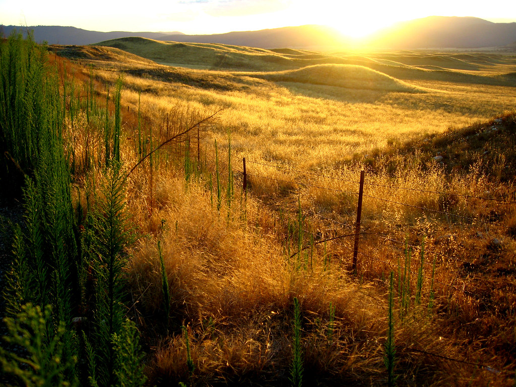
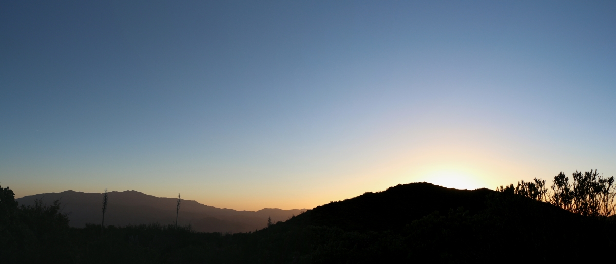
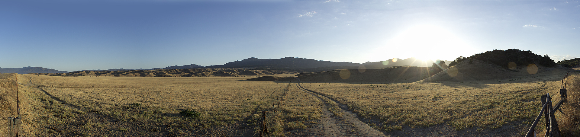
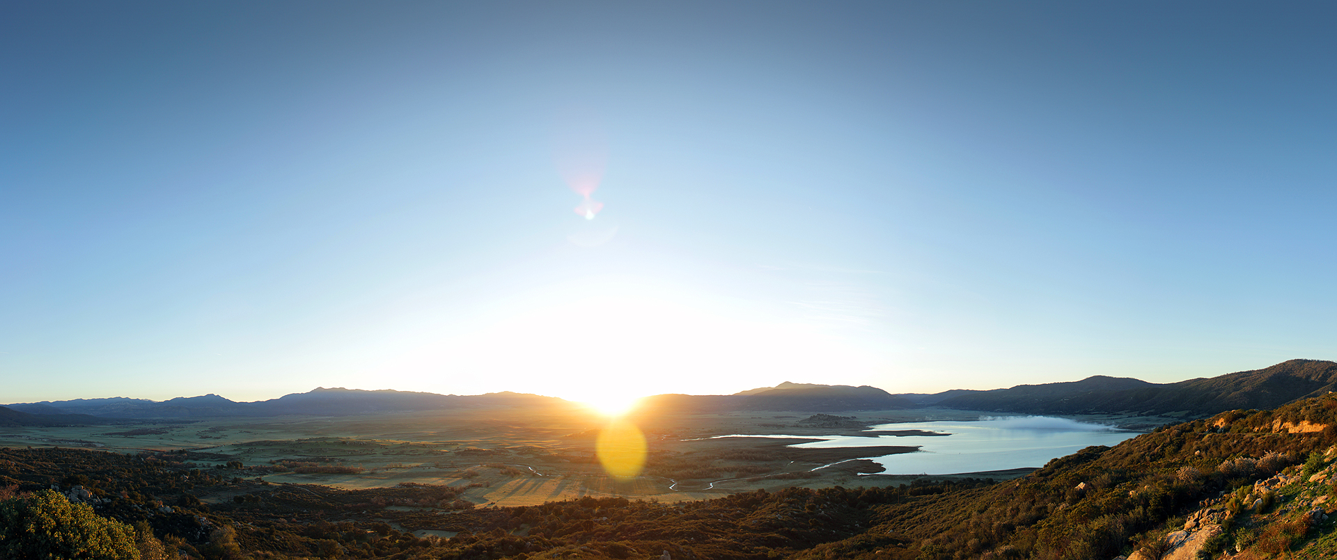
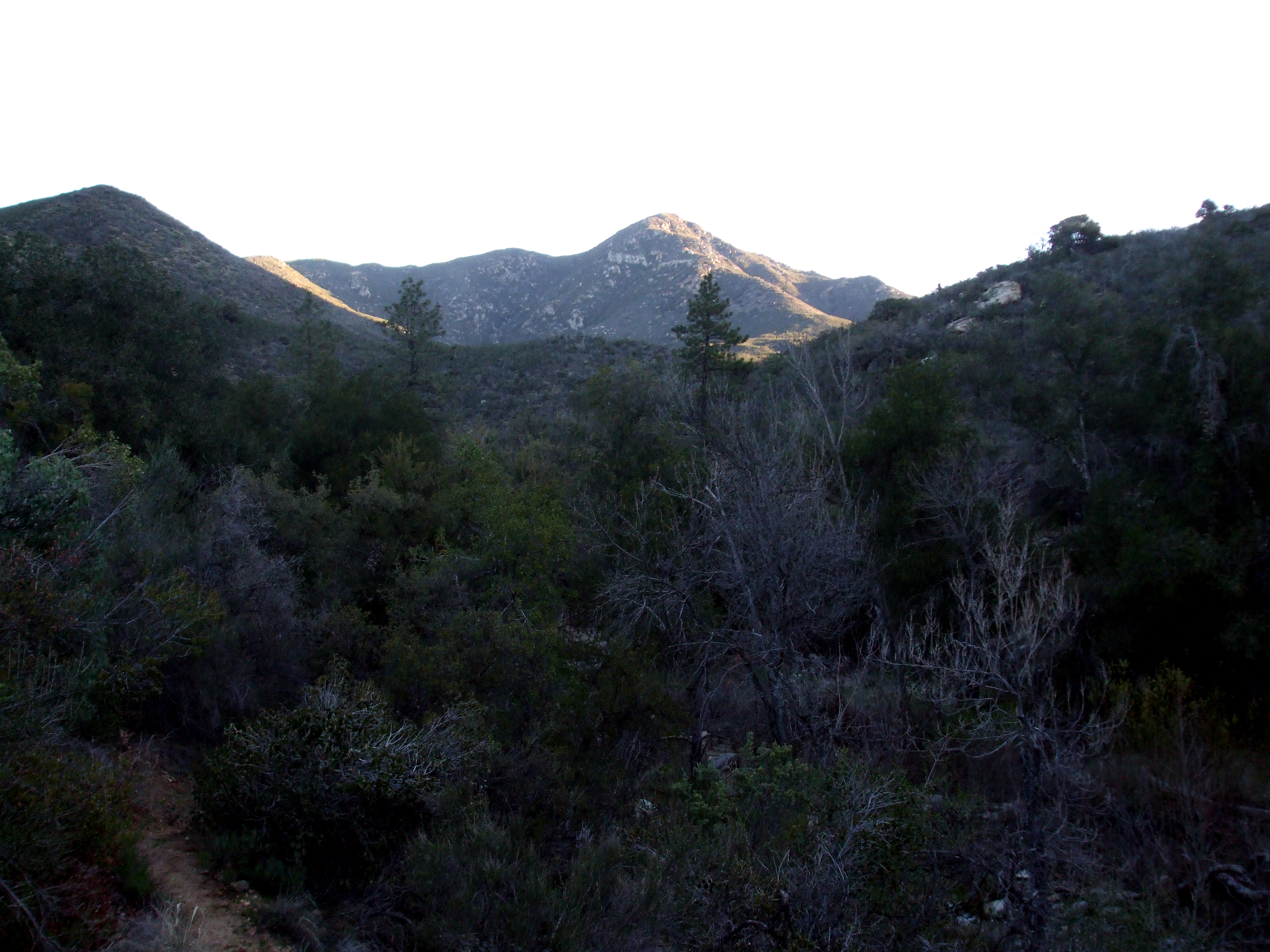
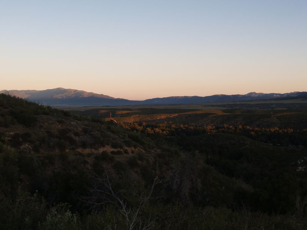
写真
The Golden Day is Dying Beyond the Purple Hill
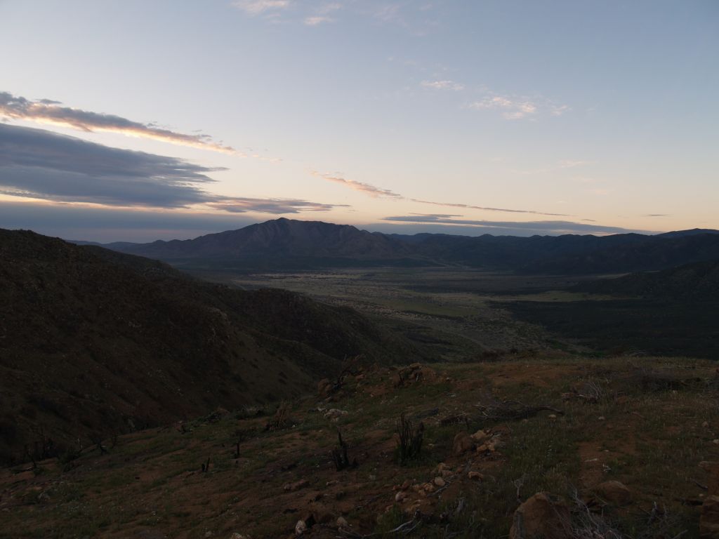
0607 Panorama sunrise from Campsite CS0129 on the PCT

261 PCT San Felipe Hills - sunrise cirrus clouds
S-2/San Felipe Road

S-2/San Felipe Road

Just Before the Break

Lake Henshaw Sunrise
Good Morning Sunshine

Misumena (F Thomisidae) with moth prey
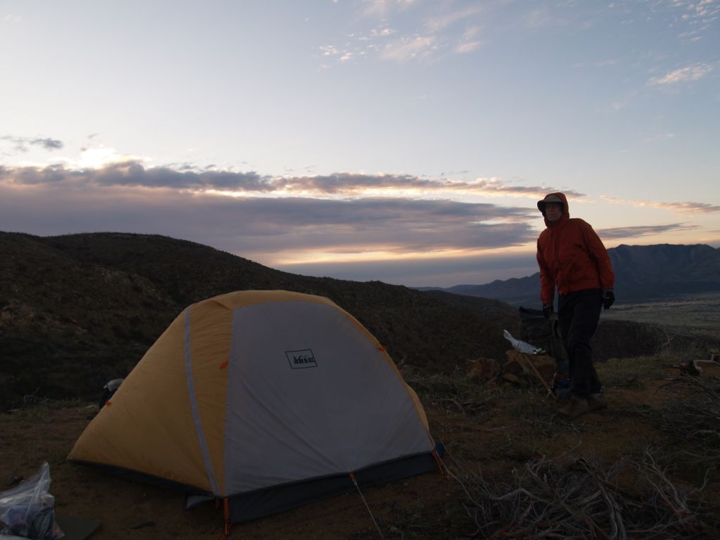
257 PCT San Felipe Hills - sunrise over our tent
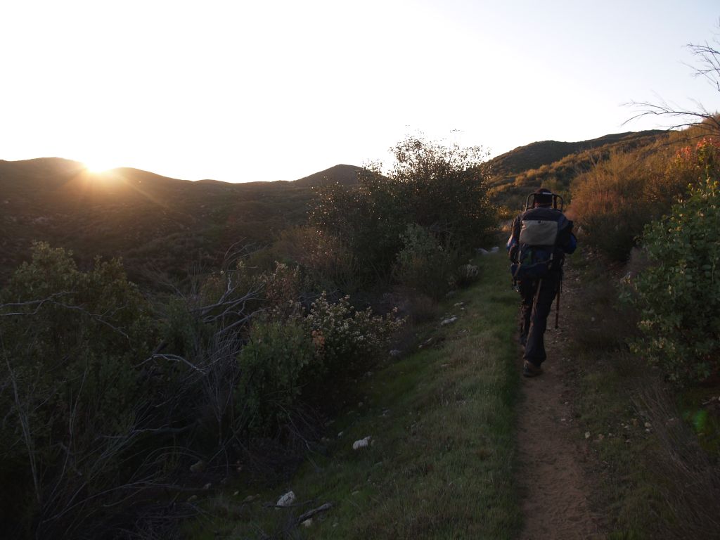
019 PCT - sunrise as we head south from Route S22
025 PCT sunrise
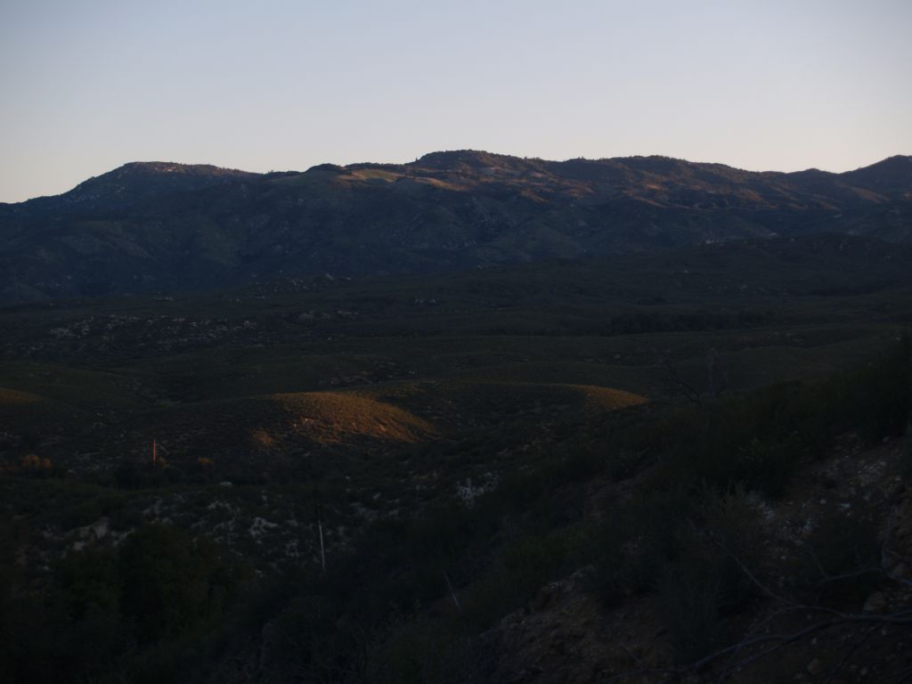
254 PCT San Felipe Hills - sunrise looking south to Granite Mountain
Sunrise in Agua Caliente
023 PCT - sunrise near Route S22 looking north toward Warner Springs
アメリカ合衆国 〒 カリフォルニア州 ワーナー・スプリングスの地図
別の場所を検索
アメリカ合衆国 〒 カリフォルニア州 ワーナー・スプリングスでの場所
近所の場所
CA-79, Warner Springs, CA アメリカ合衆国Warner Springs Ranch Resort
Camino San Ignacio, Warner Springs, CA アメリカ合衆国
アメリカ合衆国 〒 カリフォルニア州 サン・フェリペ
Chihuahua Valley Rd, Warner Springs, CA アメリカ合衆国
Chihuahua Valley Rd, Warner Springs, CA アメリカ合衆国Schoepe Scout Reservation at Lost Valley
Stamnes Rd, Warner Springs, CA アメリカ合衆国
Chihuahua Valley Rd, Warner Springs, CA アメリカ合衆国
Chihuahua Valley Rd, Warner Springs, CA アメリカ合衆国
Santa Ysabel, CA アメリカ合衆国Santa Ysabel Tribal Office
アメリカ合衆国 〒 カリフォルニア州 チワワ・バレー
Montezuma Valley Rd, Ranchita, CA アメリカ合衆国
アメリカ合衆国 〒 カリフォルニア州 ランチータ
Montezuma Valley Rd, Warner Springs, CA アメリカ合衆国
Montezuma Valley Rd, Warner Springs, CA アメリカ合衆国
Stevens Way, Warner Springs, CA アメリカ合衆国
Montezuma Valley Rd, Ranchita, CA アメリカ合衆国
アメリカ合衆国 〒 カリフォルニア州 サンタ・イサベル
CA-78, Santa Ysabel, CA アメリカ合衆国Dudley's Bakery
Mountainbrook Rd, Santa Ysabel, CA アメリカ合衆国
Montezuma-Borrego Hwy, Ranchita, CA アメリカ合衆国Culp Valley Primitive Campground
最近の検索
- アメリカ合衆国 アラスカ州 レッド・ドッグ・マイン日の出日の入り時間
- Am bhf, Borken, ドイツアム・バーンホーフ日の出日の入り時間
- 4th St E, Sonoma, CA, USA日の出日の入り時間
- Oakland Ave, Williamsport, PA アメリカ合衆国日の出日の入り時間
- Via Roma, Pieranica CR, イタリアローマ通り日の出日の入り時間
- クロアチア 〒 ドゥブロブニク GradClock Tower of Dubrovnik日の出日の入り時間
- アルゼンチン チュブ州 トレリュー日の出日の入り時間
- Hartfords Bluff Cir, Mt Pleasant, SC アメリカ合衆国日の出日の入り時間
- 日本、熊本県熊本市北区日の出日の入り時間
- 中華人民共和国 福州市 平潭県 平潭島日の出日の入り時間