時間帯:アメリカ太平洋標準時
現地時間:2026年11月10日 火曜日 13:20
経度:-116.66153
緯度:33.3915517
今日の日の出時刻:06:14:43
今日の日の入時刻:16:49:08
今日の日長:10時間34分24秒
明日の日の出時刻:06:15:39
明日の日の入時刻:16:48:26
明日の日長:10時間32分47秒

: すべて表示する

日付 日出 日没 日長
2026年1月1日 06:51:38 16:50:14 9時間58分35秒
2026年2月1日 06:44:33 17:18:07 10時間33分33秒
2026年3月1日 06:17:36 17:43:42 11時間26分6秒
2026年4月1日 06:36:46 19:07:06 12時間30分19秒
2026年5月1日 06:00:39 19:29:26 13時間28分46秒
2026年6月1日 05:39:44 19:51:52 14時間12分7秒
2026年7月1日 05:41:25 20:01:31 14時間20分6秒
2026年8月1日 05:59:47 19:48:41 13時間48分54秒
2026年9月1日 06:21:35 19:15:22 12時間53分47秒
2026年10月1日 06:41:24 18:34:17 11時間52分53秒
2026年11月1日 07:05:36 17:57:22 10時間51分45秒
2026年11月11日 06:14:43 16:49:08 10時間34分24秒
2026年11月12日 06:15:39 16:48:26 10時間32分47秒
2026年12月1日 06:33:08 16:40:33 10時間7分25秒

日の出と日の入りの写真

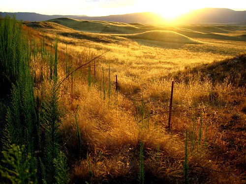
G1203065525 by Birna Rørslett, 2012.03.06 Beitemarker i dalføre. Solstråler bryter gjennom tunge skyer. Skilt med No Trespassing i
G1203065525 by Birna Rørslett
The Golden Day is Dying Beyond the Purple Hill by Shari Diane, <a href="http://bighugelabs.com/flickr/onblack.php?id=1579946391&size=large">BIG</a>

Interestin
The Golden Day is Dying Beyond the Purple Hill by Shari Diane
State Route 79 by murraycdm, warnersprings california unitedstates sunset dusk route79 roadtrip roadside airstrip gliderport oran
State Route 79 by murraycdm
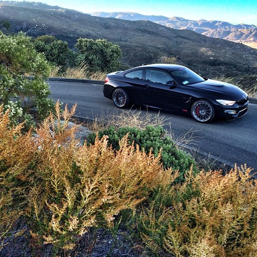
Sunset with @linhbergh | @tagmotorsports by HRE Wheels, square squareformat iphoneography instagramapp uploaded:by=instagram
Sunset with @linhbergh | @tagmotorsports by HRE Wheels
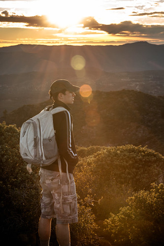
The gaze by rowjimmy76, winter sunset sun male guy nature canon outdoors person hiking socal flare vegetation 5d pct hiker f
The gaze by rowjimmy76
Sunrise in Agua Caliente by lhogue46, pacificcresttrail pct caliente adzpctko sandiegohiking
Sunrise in Agua Caliente by lhogue46
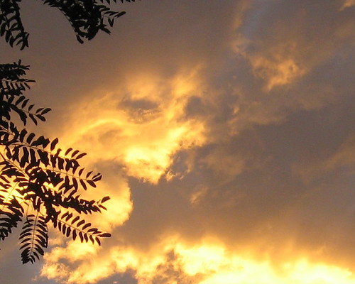
Do You See A Face? by ginger.jengibre, sunset sky clouds faces sunsets faceinclouds facesinclouds warnerspringsranch
Do You See A Face? by ginger.jengibre
Hands by ginger.jengibre, sunset sky clouds sunsets warnerspringsranch
Hands by ginger.jengibre
Do You See A Face? by ginger.jengibre, sunset sky clouds faces sunsets faceinclouds facesinclouds warnerspringsranch
Do You See A Face? by ginger.jengibre
sunset by -mrh, sunset clouds iphone anza
sunset by -mrh
1345 Sunset colors on Santa Rosa Mountain and Toro Peak over Nance Canyon from Coyote Canyon Road by _JFR_, hiking backpacking pacificcresttrail pct pacificcrest
1345 Sunset colors on Santa Rosa Mountain and Toro Peak over Nance Canyon from Coyote Canyon Road by _JFR_
0607 Panorama sunrise from Campsite CS0129 on the PCT by _JFR_, hiking backpacking pacificcresttrail pct pacificcrest
0607 Panorama sunrise from Campsite CS0129 on the PCT by _JFR_
0904 Sunset clouds at our campsite on the PCT near mile 140 by _JFR_, hiking backpacking pacificcresttrail pct pacificcrest
0904 Sunset clouds at our campsite on the PCT near mile 140 by _JFR_
0906 Sunrise on our fourth day of hiking at our campsite on the PCT near mile 140 by _JFR_, hiking backpacking pacificcresttrail pct pacificcrest
0906 Sunrise on our fourth day of hiking at our campsite on the PCT near mile 140 by _JFR_
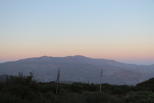
0603 View of Santa Rosa Mountain and Toro Peak at sunset from Campsite CS0129 on the PCT by _JFR_, hiking backpacking pacificcresttrail pct pacificcrest
0603 View of Santa Rosa Mountain and Toro Peak at sunset from Campsite CS0129 on the PCT by _JFR_
Sunset over camp outside Warner Springs by wickliffe_ca,
Sunset over camp outside Warner Springs by wickliffe_ca
1268 Sunset light on Santa Rosa Mountain and Toro Peak from the Pacific Crest Trail near Combs Peak by _JFR_, pct pacificcresttrail sectionb anzaborregodesertstatepark combspeak santarosapeak toropeak
1268 Sunset light on Santa Rosa Mountain and Toro Peak from the Pacific Crest Trail near Combs Peak by _JFR_
Warner Springs, CA Sunset by austindodgephotography, ca california westcoast trees america us usa santaysabelca santaysabelcalifornia warnerspringsca war
Warner Springs, CA Sunset by austindodgephotography
1391 Sunset light on the clouds over Borrego Springs, from the PCT near Nance Canyon by _JFR_, pct pacificcresttrail sectionb anzaborregodesertstatepark nancecanyon
1391 Sunset light on the clouds over Borrego Springs, from the PCT near Nance Canyon by _JFR_
1414 Sunrise beaming through the clouds over Toro Peak by _JFR_, pct pacificcresttrail sectionb anzaborregodesertstatepark toropeak
1414 Sunrise beaming through the clouds over Toro Peak by _JFR_
P4230245 by zdbarnard, OLYMPUS DIGITAL CAMERA
P4230245 by zdbarnard