| Timezone: | Pacific Standard Time |
|---|---|
| Current Time: | Tuesday, November 10, 2026 1:18 AM |
| Longitude: | -116.66153 |
| Latitude: | 33.3915517 |
| Sunrise Time Today: | 6:14:43 AM |
| Sunset Time Today: | 4:49:08 PM |
| Daylength Today: | 10h 34m 24s |
| Sunrise Time Tomorrow: | 6:15:39 AM |
| Sunset Time Tomorrow: | 4:48:26 PM |
| Daylength Tomorrow: | 10h 32m 47s |
: Show All Dates
| Date | Sunrise Time | Sunset Time | Daylength |
|---|---|---|---|
| Jan 1, 2026 | 6:51:38 AM | 4:50:14 PM | 9h 58m 35s |
| Feb 1, 2026 | 6:44:33 AM | 5:18:07 PM | 10h 33m 33s |
| Mar 1, 2026 | 6:17:36 AM | 5:43:42 PM | 11h 26m 6s |
| Apr 1, 2026 | 6:36:46 AM | 7:07:06 PM | 12h 30m 19s |
| May 1, 2026 | 6:00:39 AM | 7:29:26 PM | 13h 28m 46s |
| Jun 1, 2026 | 5:39:44 AM | 7:51:52 PM | 14h 12m 7s |
| Jul 1, 2026 | 5:41:25 AM | 8:01:31 PM | 14h 20m 6s |
| Aug 1, 2026 | 5:59:47 AM | 7:48:41 PM | 13h 48m 54s |
| Sep 1, 2026 | 6:21:35 AM | 7:15:22 PM | 12h 53m 47s |
| Oct 1, 2026 | 6:41:24 AM | 6:34:17 PM | 11h 52m 53s |
| Nov 1, 2026 | 7:05:36 AM | 5:57:22 PM | 10h 51m 45s |
| Nov 10, 2026 | 6:13:47 AM | 4:49:51 PM | 10h 36m 3s |
| Nov 11, 2026 | 6:14:43 AM | 4:49:08 PM | 10h 34m 24s |
| Dec 1, 2026 | 6:33:08 AM | 4:40:33 PM | 10h 7m 25s |
Sunrise & Sunset Photos

G1203065525 by Birna Rørslett
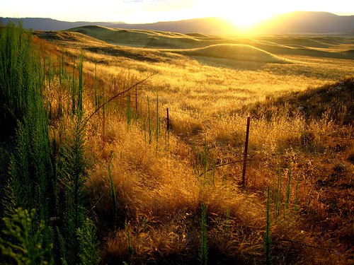
The Golden Day is Dying Beyond the Purple Hill by Shari Diane

State Route 79 by murraycdm
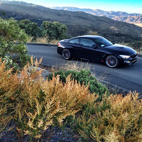
Sunset with @linhbergh | @tagmotorsports by HRE Wheels
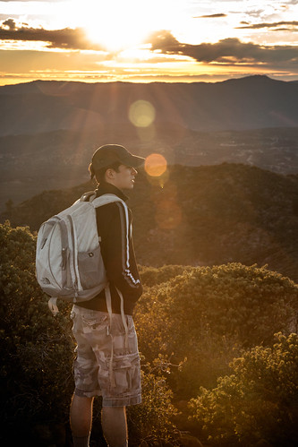
The gaze by rowjimmy76

Sunrise in Agua Caliente by lhogue46
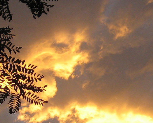
Do You See A Face? by ginger.jengibre

Hands by ginger.jengibre

Do You See A Face? by ginger.jengibre

sunset by -mrh

1345 Sunset colors on Santa Rosa Mountain and Toro Peak over Nance Canyon from Coyote Canyon Road by _JFR_

0607 Panorama sunrise from Campsite CS0129 on the PCT by _JFR_

0904 Sunset clouds at our campsite on the PCT near mile 140 by _JFR_

0906 Sunrise on our fourth day of hiking at our campsite on the PCT near mile 140 by _JFR_
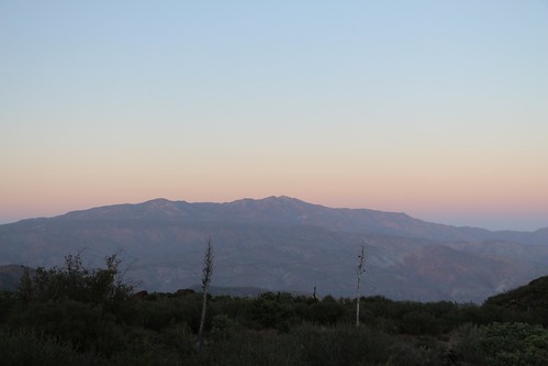
0603 View of Santa Rosa Mountain and Toro Peak at sunset from Campsite CS0129 on the PCT by _JFR_

Sunset over camp outside Warner Springs by wickliffe_ca

1268 Sunset light on Santa Rosa Mountain and Toro Peak from the Pacific Crest Trail near Combs Peak by _JFR_

Warner Springs, CA Sunset by austindodgephotography

1391 Sunset light on the clouds over Borrego Springs, from the PCT near Nance Canyon by _JFR_

1414 Sunrise beaming through the clouds over Toro Peak by _JFR_

P4230245 by zdbarnard