Horas de salida y puesta de sol de Warner Springs, California, EE. UU.
Location: Estados Unidos > California > Condado de San Diego >
Zona horaria:
America/Los_Angeles
Hora local:
2025-07-13 09:28:25
Longitud:
-116.6494394
Latitud:
33.2769753
Salida de sol de hoy:
05:48:06 AM
Puesta de sol de hoy:
07:57:04 PM
La duración del día hoy:
14h 8m 58s
Salida de sol de mañana:
05:48:42 AM
Puesta de sol de mañana:
07:56:39 PM
La duración del día mañana:
14h 7m 57s
Mostrar todas las fechas
| Fecha | Salida de sol | Puesta de sol | Duración del día |
|---|---|---|---|
| 01/01/2025 | 06:50:25 AM | 04:51:12 PM | 10h 0m 47s |
| 02/01/2025 | 06:50:34 AM | 04:51:59 PM | 10h 1m 25s |
| 03/01/2025 | 06:50:41 AM | 04:52:46 PM | 10h 2m 5s |
| 04/01/2025 | 06:50:46 AM | 04:53:34 PM | 10h 2m 48s |
| 05/01/2025 | 06:50:50 AM | 04:54:23 PM | 10h 3m 33s |
| 06/01/2025 | 06:50:51 AM | 04:55:13 PM | 10h 4m 22s |
| 07/01/2025 | 06:50:51 AM | 04:56:04 PM | 10h 5m 13s |
| 08/01/2025 | 06:50:49 AM | 04:56:56 PM | 10h 6m 7s |
| 09/01/2025 | 06:50:45 AM | 04:57:48 PM | 10h 7m 3s |
| 10/01/2025 | 06:50:39 AM | 04:58:41 PM | 10h 8m 2s |
| 11/01/2025 | 06:50:31 AM | 04:59:35 PM | 10h 9m 4s |
| 12/01/2025 | 06:50:22 AM | 05:00:29 PM | 10h 10m 7s |
| 13/01/2025 | 06:50:11 AM | 05:01:24 PM | 10h 11m 13s |
| 14/01/2025 | 06:49:58 AM | 05:02:19 PM | 10h 12m 21s |
| 15/01/2025 | 06:49:43 AM | 05:03:14 PM | 10h 13m 31s |
| 16/01/2025 | 06:49:26 AM | 05:04:10 PM | 10h 14m 44s |
| 17/01/2025 | 06:49:08 AM | 05:05:07 PM | 10h 15m 59s |
| 18/01/2025 | 06:48:48 AM | 05:06:04 PM | 10h 17m 16s |
| 19/01/2025 | 06:48:26 AM | 05:07:01 PM | 10h 18m 35s |
| 20/01/2025 | 06:48:02 AM | 05:07:58 PM | 10h 19m 56s |
| 21/01/2025 | 06:47:36 AM | 05:08:55 PM | 10h 21m 19s |
| 22/01/2025 | 06:47:09 AM | 05:09:53 PM | 10h 22m 44s |
| 23/01/2025 | 06:46:40 AM | 05:10:50 PM | 10h 24m 10s |
| 24/01/2025 | 06:46:10 AM | 05:11:48 PM | 10h 25m 38s |
| 25/01/2025 | 06:45:38 AM | 05:12:46 PM | 10h 27m 8s |
| 26/01/2025 | 06:45:04 AM | 05:13:44 PM | 10h 28m 40s |
| 27/01/2025 | 06:44:28 AM | 05:14:42 PM | 10h 30m 14s |
| 28/01/2025 | 06:43:51 AM | 05:15:40 PM | 10h 31m 49s |
| 29/01/2025 | 06:43:13 AM | 05:16:37 PM | 10h 33m 24s |
| 30/01/2025 | 06:42:33 AM | 05:17:35 PM | 10h 35m 2s |
| 31/01/2025 | 06:41:51 AM | 05:18:33 PM | 10h 36m 42s |
| 01/02/2025 | 06:41:08 AM | 05:19:30 PM | 10h 38m 22s |
| 02/02/2025 | 06:40:23 AM | 05:20:27 PM | 10h 40m 4s |
| 03/02/2025 | 06:39:37 AM | 05:21:24 PM | 10h 41m 47s |
| 04/02/2025 | 06:38:50 AM | 05:22:21 PM | 10h 43m 31s |
| 05/02/2025 | 06:38:01 AM | 05:23:18 PM | 10h 45m 17s |
| 06/02/2025 | 06:37:11 AM | 05:24:14 PM | 10h 47m 3s |
| 07/02/2025 | 06:36:19 AM | 05:25:11 PM | 10h 48m 52s |
| 08/02/2025 | 06:35:26 AM | 05:26:07 PM | 10h 50m 41s |
| 09/02/2025 | 06:34:32 AM | 05:27:02 PM | 10h 52m 30s |
| 10/02/2025 | 06:33:37 AM | 05:27:57 PM | 10h 54m 20s |
| 11/02/2025 | 06:32:40 AM | 05:28:53 PM | 10h 56m 13s |
| 12/02/2025 | 06:31:42 AM | 05:29:47 PM | 10h 58m 5s |
| 13/02/2025 | 06:30:43 AM | 05:30:42 PM | 10h 59m 59s |
| 14/02/2025 | 06:29:43 AM | 05:31:36 PM | 11h 1m 53s |
| 15/02/2025 | 06:28:42 AM | 05:32:29 PM | 11h 3m 47s |
| 16/02/2025 | 06:27:40 AM | 05:33:23 PM | 11h 5m 43s |
| 17/02/2025 | 06:26:37 AM | 05:34:16 PM | 11h 7m 39s |
| 18/02/2025 | 06:25:33 AM | 05:35:08 PM | 11h 9m 35s |
| 19/02/2025 | 06:24:28 AM | 05:36:01 PM | 11h 11m 33s |
| 20/02/2025 | 06:23:21 AM | 05:36:53 PM | 11h 13m 32s |
| 21/02/2025 | 06:22:14 AM | 05:37:44 PM | 11h 15m 30s |
| 22/02/2025 | 06:21:06 AM | 05:38:36 PM | 11h 17m 30s |
| 23/02/2025 | 06:19:58 AM | 05:39:26 PM | 11h 19m 28s |
| 24/02/2025 | 06:18:48 AM | 05:40:17 PM | 11h 21m 29s |
| 25/02/2025 | 06:17:38 AM | 05:41:07 PM | 11h 23m 29s |
| 26/02/2025 | 06:16:27 AM | 05:41:57 PM | 11h 25m 30s |
| 27/02/2025 | 06:15:15 AM | 05:42:47 PM | 11h 27m 32s |
| 28/02/2025 | 06:14:02 AM | 05:43:36 PM | 11h 29m 34s |
| 01/03/2025 | 06:12:49 AM | 05:44:25 PM | 11h 31m 36s |
| 02/03/2025 | 06:11:35 AM | 05:45:13 PM | 11h 33m 38s |
| 03/03/2025 | 06:10:21 AM | 05:46:02 PM | 11h 35m 41s |
| 04/03/2025 | 06:09:06 AM | 05:46:49 PM | 11h 37m 43s |
| 05/03/2025 | 06:07:50 AM | 05:47:37 PM | 11h 39m 47s |
| 06/03/2025 | 06:06:34 AM | 05:48:24 PM | 11h 41m 50s |
| 07/03/2025 | 06:05:18 AM | 05:49:12 PM | 11h 43m 54s |
| 08/03/2025 | 06:04:01 AM | 05:49:58 PM | 11h 45m 57s |
| 09/03/2025 | 07:02:47 AM | 06:50:43 PM | 11h 47m 56s |
| 10/03/2025 | 07:01:29 AM | 06:51:29 PM | 11h 50m 0s |
| 11/03/2025 | 07:00:11 AM | 06:52:15 PM | 11h 52m 4s |
| 12/03/2025 | 06:58:52 AM | 06:53:01 PM | 11h 54m 9s |
| 13/03/2025 | 06:57:34 AM | 06:53:47 PM | 11h 56m 13s |
| 14/03/2025 | 06:56:15 AM | 06:54:32 PM | 11h 58m 17s |
| 15/03/2025 | 06:54:55 AM | 06:55:17 PM | 12h 0m 22s |
| 16/03/2025 | 06:53:36 AM | 06:56:02 PM | 12h 2m 26s |
| 17/03/2025 | 06:52:16 AM | 06:56:47 PM | 12h 4m 31s |
| 18/03/2025 | 06:50:56 AM | 06:57:32 PM | 12h 6m 36s |
| 19/03/2025 | 06:49:36 AM | 06:58:16 PM | 12h 8m 40s |
| 20/03/2025 | 06:48:16 AM | 06:59:01 PM | 12h 10m 45s |
| 21/03/2025 | 06:46:56 AM | 06:59:45 PM | 12h 12m 49s |
| 22/03/2025 | 06:45:36 AM | 07:00:29 PM | 12h 14m 53s |
| 23/03/2025 | 06:44:16 AM | 07:01:13 PM | 12h 16m 57s |
| 24/03/2025 | 06:42:56 AM | 07:01:57 PM | 12h 19m 1s |
| 25/03/2025 | 06:41:36 AM | 07:02:41 PM | 12h 21m 5s |
| 26/03/2025 | 06:40:16 AM | 07:03:25 PM | 12h 23m 9s |
| 27/03/2025 | 06:38:56 AM | 07:04:09 PM | 12h 25m 13s |
| 28/03/2025 | 06:37:36 AM | 07:04:52 PM | 12h 27m 16s |
| 29/03/2025 | 06:36:16 AM | 07:05:36 PM | 12h 29m 20s |
| 30/03/2025 | 06:34:57 AM | 07:06:20 PM | 12h 31m 23s |
| 31/03/2025 | 06:33:38 AM | 07:07:03 PM | 12h 33m 25s |
| 01/04/2025 | 06:32:19 AM | 07:07:47 PM | 12h 35m 28s |
| 02/04/2025 | 06:31:00 AM | 07:08:31 PM | 12h 37m 31s |
| 03/04/2025 | 06:29:42 AM | 07:09:14 PM | 12h 39m 32s |
| 04/04/2025 | 06:28:24 AM | 07:09:58 PM | 12h 41m 34s |
| 05/04/2025 | 06:27:06 AM | 07:10:41 PM | 12h 43m 35s |
| 06/04/2025 | 06:25:49 AM | 07:11:25 PM | 12h 45m 36s |
| 07/04/2025 | 06:24:32 AM | 07:12:09 PM | 12h 47m 37s |
| 08/04/2025 | 06:23:15 AM | 07:12:53 PM | 12h 49m 38s |
| 09/04/2025 | 06:21:59 AM | 07:13:37 PM | 12h 51m 38s |
| 10/04/2025 | 06:20:44 AM | 07:14:21 PM | 12h 53m 37s |
| 11/04/2025 | 06:19:29 AM | 07:15:05 PM | 12h 55m 36s |
| 12/04/2025 | 06:18:15 AM | 07:15:49 PM | 12h 57m 34s |
| 13/04/2025 | 06:17:01 AM | 07:16:33 PM | 12h 59m 32s |
| 14/04/2025 | 06:15:48 AM | 07:17:17 PM | 13h 1m 29s |
| 15/04/2025 | 06:14:35 AM | 07:18:01 PM | 13h 3m 26s |
| 16/04/2025 | 06:13:23 AM | 07:18:46 PM | 13h 5m 23s |
| 17/04/2025 | 06:12:12 AM | 07:19:30 PM | 13h 7m 18s |
| 18/04/2025 | 06:11:02 AM | 07:20:15 PM | 13h 9m 13s |
| 19/04/2025 | 06:09:52 AM | 07:20:59 PM | 13h 11m 7s |
| 20/04/2025 | 06:08:43 AM | 07:21:44 PM | 13h 13m 1s |
| 21/04/2025 | 06:07:35 AM | 07:22:29 PM | 13h 14m 54s |
| 22/04/2025 | 06:06:28 AM | 07:23:14 PM | 13h 16m 46s |
| 23/04/2025 | 06:05:22 AM | 07:23:58 PM | 13h 18m 36s |
| 24/04/2025 | 06:04:16 AM | 07:24:43 PM | 13h 20m 27s |
| 25/04/2025 | 06:03:12 AM | 07:25:28 PM | 13h 22m 16s |
| 26/04/2025 | 06:02:08 AM | 07:26:14 PM | 13h 24m 6s |
| 27/04/2025 | 06:01:06 AM | 07:26:59 PM | 13h 25m 53s |
| 28/04/2025 | 06:00:04 AM | 07:27:44 PM | 13h 27m 40s |
| 29/04/2025 | 05:59:03 AM | 07:28:29 PM | 13h 29m 26s |
| 30/04/2025 | 05:58:04 AM | 07:29:14 PM | 13h 31m 10s |
| 01/05/2025 | 05:57:05 AM | 07:30:00 PM | 13h 32m 55s |
| 02/05/2025 | 05:56:08 AM | 07:30:45 PM | 13h 34m 37s |
| 03/05/2025 | 05:55:12 AM | 07:31:30 PM | 13h 36m 18s |
| 04/05/2025 | 05:54:17 AM | 07:32:15 PM | 13h 37m 58s |
| 05/05/2025 | 05:53:23 AM | 07:33:00 PM | 13h 39m 37s |
| 06/05/2025 | 05:52:30 AM | 07:33:45 PM | 13h 41m 15s |
| 07/05/2025 | 05:51:39 AM | 07:34:30 PM | 13h 42m 51s |
| 08/05/2025 | 05:50:49 AM | 07:35:15 PM | 13h 44m 26s |
| 09/05/2025 | 05:50:00 AM | 07:36:00 PM | 13h 46m 0s |
| 10/05/2025 | 05:49:12 AM | 07:36:44 PM | 13h 47m 32s |
| 11/05/2025 | 05:48:26 AM | 07:37:29 PM | 13h 49m 3s |
| 12/05/2025 | 05:47:41 AM | 07:38:13 PM | 13h 50m 32s |
| 13/05/2025 | 05:46:57 AM | 07:38:57 PM | 13h 52m 0s |
| 14/05/2025 | 05:46:15 AM | 07:39:41 PM | 13h 53m 26s |
| 15/05/2025 | 05:45:34 AM | 07:40:24 PM | 13h 54m 50s |
| 16/05/2025 | 05:44:54 AM | 07:41:07 PM | 13h 56m 13s |
| 17/05/2025 | 05:44:16 AM | 07:41:50 PM | 13h 57m 34s |
| 18/05/2025 | 05:43:40 AM | 07:42:33 PM | 13h 58m 53s |
| 19/05/2025 | 05:43:04 AM | 07:43:15 PM | 14h 0m 11s |
| 20/05/2025 | 05:42:31 AM | 07:43:57 PM | 14h 1m 26s |
| 21/05/2025 | 05:41:58 AM | 07:44:38 PM | 14h 2m 40s |
| 22/05/2025 | 05:41:28 AM | 07:45:19 PM | 14h 3m 51s |
| 23/05/2025 | 05:40:59 AM | 07:45:59 PM | 14h 5m 0s |
| 24/05/2025 | 05:40:31 AM | 07:46:39 PM | 14h 6m 8s |
| 25/05/2025 | 05:40:05 AM | 07:47:19 PM | 14h 7m 14s |
| 26/05/2025 | 05:39:40 AM | 07:47:57 PM | 14h 8m 17s |
| 27/05/2025 | 05:39:17 AM | 07:48:35 PM | 14h 9m 18s |
| 28/05/2025 | 05:38:56 AM | 07:49:13 PM | 14h 10m 17s |
| 29/05/2025 | 05:38:36 AM | 07:49:49 PM | 14h 11m 13s |
| 30/05/2025 | 05:38:17 AM | 07:50:25 PM | 14h 12m 8s |
| 31/05/2025 | 05:38:00 AM | 07:51:01 PM | 14h 13m 1s |
| 01/06/2025 | 05:37:45 AM | 07:51:35 PM | 14h 13m 50s |
| 02/06/2025 | 05:37:32 AM | 07:52:09 PM | 14h 14m 37s |
| 03/06/2025 | 05:37:19 AM | 07:52:41 PM | 14h 15m 22s |
| 04/06/2025 | 05:37:09 AM | 07:53:13 PM | 14h 16m 4s |
| 05/06/2025 | 05:37:00 AM | 07:53:44 PM | 14h 16m 44s |
| 06/06/2025 | 05:36:53 AM | 07:54:14 PM | 14h 17m 21s |
| 07/06/2025 | 05:36:47 AM | 07:54:43 PM | 14h 17m 56s |
| 08/06/2025 | 05:36:42 AM | 07:55:11 PM | 14h 18m 29s |
| 09/06/2025 | 05:36:40 AM | 07:55:38 PM | 14h 18m 58s |
| 10/06/2025 | 05:36:38 AM | 07:56:03 PM | 14h 19m 25s |
| 11/06/2025 | 05:36:39 AM | 07:56:28 PM | 14h 19m 49s |
| 12/06/2025 | 05:36:40 AM | 07:56:51 PM | 14h 20m 11s |
| 13/06/2025 | 05:36:43 AM | 07:57:14 PM | 14h 20m 31s |
| 14/06/2025 | 05:36:48 AM | 07:57:35 PM | 14h 20m 47s |
| 15/06/2025 | 05:36:54 AM | 07:57:54 PM | 14h 21m 0s |
| 16/06/2025 | 05:37:02 AM | 07:58:13 PM | 14h 21m 11s |
| 17/06/2025 | 05:37:11 AM | 07:58:30 PM | 14h 21m 19s |
| 18/06/2025 | 05:37:21 AM | 07:58:46 PM | 14h 21m 25s |
| 19/06/2025 | 05:37:33 AM | 07:59:00 PM | 14h 21m 27s |
| 20/06/2025 | 05:37:46 AM | 07:59:13 PM | 14h 21m 27s |
| 21/06/2025 | 05:38:00 AM | 07:59:25 PM | 14h 21m 25s |
| 22/06/2025 | 05:38:16 AM | 07:59:35 PM | 14h 21m 19s |
| 23/06/2025 | 05:38:33 AM | 07:59:44 PM | 14h 21m 11s |
| 24/06/2025 | 05:38:51 AM | 07:59:51 PM | 14h 21m 0s |
| 25/06/2025 | 05:39:11 AM | 07:59:57 PM | 14h 20m 46s |
| 26/06/2025 | 05:39:31 AM | 08:00:01 PM | 14h 20m 30s |
| 27/06/2025 | 05:39:53 AM | 08:00:04 PM | 14h 20m 11s |
| 28/06/2025 | 05:40:16 AM | 08:00:05 PM | 14h 19m 49s |
| 29/06/2025 | 05:40:40 AM | 08:00:05 PM | 14h 19m 25s |
| 30/06/2025 | 05:41:05 AM | 08:00:03 PM | 14h 18m 58s |
| 01/07/2025 | 05:41:31 AM | 07:59:59 PM | 14h 18m 28s |
| 02/07/2025 | 05:41:58 AM | 07:59:54 PM | 14h 17m 56s |
| 03/07/2025 | 05:42:26 AM | 07:59:48 PM | 14h 17m 22s |
| 04/07/2025 | 05:42:55 AM | 07:59:39 PM | 14h 16m 44s |
| 05/07/2025 | 05:43:25 AM | 07:59:29 PM | 14h 16m 4s |
| 06/07/2025 | 05:43:56 AM | 07:59:18 PM | 14h 15m 22s |
| 07/07/2025 | 05:44:27 AM | 07:59:05 PM | 14h 14m 38s |
| 08/07/2025 | 05:45:00 AM | 07:58:50 PM | 14h 13m 50s |
| 09/07/2025 | 05:45:33 AM | 07:58:34 PM | 14h 13m 1s |
| 10/07/2025 | 05:46:07 AM | 07:58:16 PM | 14h 12m 9s |
| 11/07/2025 | 05:46:41 AM | 07:57:56 PM | 14h 11m 15s |
| 12/07/2025 | 05:47:16 AM | 07:57:35 PM | 14h 10m 19s |
| 13/07/2025 | 05:47:52 AM | 07:57:13 PM | 14h 9m 21s |
| 14/07/2025 | 05:48:29 AM | 07:56:48 PM | 14h 8m 19s |
| 15/07/2025 | 05:49:06 AM | 07:56:23 PM | 14h 7m 17s |
| 16/07/2025 | 05:49:43 AM | 07:55:55 PM | 14h 6m 12s |
| 17/07/2025 | 05:50:21 AM | 07:55:26 PM | 14h 5m 5s |
| 18/07/2025 | 05:50:59 AM | 07:54:56 PM | 14h 3m 57s |
| 19/07/2025 | 05:51:38 AM | 07:54:23 PM | 14h 2m 45s |
| 20/07/2025 | 05:52:17 AM | 07:53:50 PM | 14h 1m 33s |
| 21/07/2025 | 05:52:57 AM | 07:53:15 PM | 14h 0m 18s |
| 22/07/2025 | 05:53:37 AM | 07:52:38 PM | 13h 59m 1s |
| 23/07/2025 | 05:54:17 AM | 07:52:00 PM | 13h 57m 43s |
| 24/07/2025 | 05:54:58 AM | 07:51:20 PM | 13h 56m 22s |
| 25/07/2025 | 05:55:39 AM | 07:50:39 PM | 13h 55m 0s |
| 26/07/2025 | 05:56:20 AM | 07:49:57 PM | 13h 53m 37s |
| 27/07/2025 | 05:57:01 AM | 07:49:13 PM | 13h 52m 12s |
| 28/07/2025 | 05:57:42 AM | 07:48:28 PM | 13h 50m 46s |
| 29/07/2025 | 05:58:24 AM | 07:47:41 PM | 13h 49m 17s |
| 30/07/2025 | 05:59:05 AM | 07:46:53 PM | 13h 47m 48s |
| 31/07/2025 | 05:59:47 AM | 07:46:04 PM | 13h 46m 17s |
| 01/08/2025 | 06:00:29 AM | 07:45:13 PM | 13h 44m 44s |
| 02/08/2025 | 06:01:11 AM | 07:44:22 PM | 13h 43m 11s |
| 03/08/2025 | 06:01:53 AM | 07:43:28 PM | 13h 41m 35s |
| 04/08/2025 | 06:02:35 AM | 07:42:34 PM | 13h 39m 59s |
| 05/08/2025 | 06:03:17 AM | 07:41:39 PM | 13h 38m 22s |
| 06/08/2025 | 06:03:59 AM | 07:40:42 PM | 13h 36m 43s |
| 07/08/2025 | 06:04:41 AM | 07:39:44 PM | 13h 35m 3s |
| 08/08/2025 | 06:05:23 AM | 07:38:45 PM | 13h 33m 22s |
| 09/08/2025 | 06:06:05 AM | 07:37:44 PM | 13h 31m 39s |
| 10/08/2025 | 06:06:47 AM | 07:36:43 PM | 13h 29m 56s |
| 11/08/2025 | 06:07:29 AM | 07:35:41 PM | 13h 28m 12s |
| 12/08/2025 | 06:08:11 AM | 07:34:37 PM | 13h 26m 26s |
| 13/08/2025 | 06:08:53 AM | 07:33:33 PM | 13h 24m 40s |
| 14/08/2025 | 06:09:34 AM | 07:32:28 PM | 13h 22m 54s |
| 15/08/2025 | 06:10:16 AM | 07:31:21 PM | 13h 21m 5s |
| 16/08/2025 | 06:10:57 AM | 07:30:14 PM | 13h 19m 17s |
| 17/08/2025 | 06:11:39 AM | 07:29:06 PM | 13h 17m 27s |
| 18/08/2025 | 06:12:20 AM | 07:27:57 PM | 13h 15m 37s |
| 19/08/2025 | 06:13:01 AM | 07:26:47 PM | 13h 13m 46s |
| 20/08/2025 | 06:13:42 AM | 07:25:36 PM | 13h 11m 54s |
| 21/08/2025 | 06:14:23 AM | 07:24:25 PM | 13h 10m 2s |
| 22/08/2025 | 06:15:04 AM | 07:23:12 PM | 13h 8m 8s |
| 23/08/2025 | 06:15:44 AM | 07:21:59 PM | 13h 6m 15s |
| 24/08/2025 | 06:16:25 AM | 07:20:45 PM | 13h 4m 20s |
| 25/08/2025 | 06:17:05 AM | 07:19:31 PM | 13h 2m 26s |
| 26/08/2025 | 06:17:46 AM | 07:18:16 PM | 13h 0m 30s |
| 27/08/2025 | 06:18:26 AM | 07:17:00 PM | 12h 58m 34s |
| 28/08/2025 | 06:19:06 AM | 07:15:44 PM | 12h 56m 38s |
| 29/08/2025 | 06:19:46 AM | 07:14:27 PM | 12h 54m 41s |
| 30/08/2025 | 06:20:26 AM | 07:13:09 PM | 12h 52m 43s |
| 31/08/2025 | 06:21:06 AM | 07:11:51 PM | 12h 50m 45s |
| 01/09/2025 | 06:21:46 AM | 07:10:33 PM | 12h 48m 47s |
| 02/09/2025 | 06:22:26 AM | 07:09:14 PM | 12h 46m 48s |
| 03/09/2025 | 06:23:05 AM | 07:07:55 PM | 12h 44m 50s |
| 04/09/2025 | 06:23:45 AM | 07:06:35 PM | 12h 42m 50s |
| 05/09/2025 | 06:24:24 AM | 07:05:15 PM | 12h 40m 51s |
| 06/09/2025 | 06:25:04 AM | 07:03:54 PM | 12h 38m 50s |
| 07/09/2025 | 06:25:43 AM | 07:02:33 PM | 12h 36m 50s |
| 08/09/2025 | 06:26:23 AM | 07:01:12 PM | 12h 34m 49s |
| 09/09/2025 | 06:27:02 AM | 06:59:51 PM | 12h 32m 49s |
| 10/09/2025 | 06:27:41 AM | 06:58:29 PM | 12h 30m 48s |
| 11/09/2025 | 06:28:21 AM | 06:57:07 PM | 12h 28m 46s |
| 12/09/2025 | 06:29:00 AM | 06:55:45 PM | 12h 26m 45s |
| 13/09/2025 | 06:29:40 AM | 06:54:23 PM | 12h 24m 43s |
| 14/09/2025 | 06:30:19 AM | 06:53:01 PM | 12h 22m 42s |
| 15/09/2025 | 06:30:59 AM | 06:51:38 PM | 12h 20m 39s |
| 16/09/2025 | 06:31:38 AM | 06:50:16 PM | 12h 18m 38s |
| 17/09/2025 | 06:32:18 AM | 06:48:53 PM | 12h 16m 35s |
| 18/09/2025 | 06:32:58 AM | 06:47:31 PM | 12h 14m 33s |
| 19/09/2025 | 06:33:38 AM | 06:46:08 PM | 12h 12m 30s |
| 20/09/2025 | 06:34:18 AM | 06:44:46 PM | 12h 10m 28s |
| 21/09/2025 | 06:34:58 AM | 06:43:23 PM | 12h 8m 25s |
| 22/09/2025 | 06:35:38 AM | 06:42:01 PM | 12h 6m 23s |
| 23/09/2025 | 06:36:18 AM | 06:40:39 PM | 12h 4m 21s |
| 24/09/2025 | 06:36:59 AM | 06:39:16 PM | 12h 2m 17s |
| 25/09/2025 | 06:37:40 AM | 06:37:55 PM | 12h 0m 15s |
| 26/09/2025 | 06:38:20 AM | 06:36:33 PM | 11h 58m 13s |
| 27/09/2025 | 06:39:02 AM | 06:35:11 PM | 11h 56m 9s |
| 28/09/2025 | 06:39:43 AM | 06:33:50 PM | 11h 54m 7s |
| 29/09/2025 | 06:40:24 AM | 06:32:29 PM | 11h 52m 5s |
| 30/09/2025 | 06:41:06 AM | 06:31:09 PM | 11h 50m 3s |
| 01/10/2025 | 06:41:48 AM | 06:29:49 PM | 11h 48m 1s |
| 02/10/2025 | 06:42:30 AM | 06:28:29 PM | 11h 45m 59s |
| 03/10/2025 | 06:43:13 AM | 06:27:10 PM | 11h 43m 57s |
| 04/10/2025 | 06:43:56 AM | 06:25:51 PM | 11h 41m 55s |
| 05/10/2025 | 06:44:39 AM | 06:24:32 PM | 11h 39m 53s |
| 06/10/2025 | 06:45:22 AM | 06:23:14 PM | 11h 37m 52s |
| 07/10/2025 | 06:46:06 AM | 06:21:57 PM | 11h 35m 51s |
| 08/10/2025 | 06:46:50 AM | 06:20:40 PM | 11h 33m 50s |
| 09/10/2025 | 06:47:34 AM | 06:19:24 PM | 11h 31m 50s |
| 10/10/2025 | 06:48:19 AM | 06:18:08 PM | 11h 29m 49s |
| 11/10/2025 | 06:49:04 AM | 06:16:53 PM | 11h 27m 49s |
| 12/10/2025 | 06:49:49 AM | 06:15:39 PM | 11h 25m 50s |
| 13/10/2025 | 06:50:35 AM | 06:14:25 PM | 11h 23m 50s |
| 14/10/2025 | 06:51:21 AM | 06:13:12 PM | 11h 21m 51s |
| 15/10/2025 | 06:52:08 AM | 06:12:00 PM | 11h 19m 52s |
| 16/10/2025 | 06:52:55 AM | 06:10:49 PM | 11h 17m 54s |
| 17/10/2025 | 06:53:42 AM | 06:09:39 PM | 11h 15m 57s |
| 18/10/2025 | 06:54:29 AM | 06:08:29 PM | 11h 14m 0s |
| 19/10/2025 | 06:55:17 AM | 06:07:20 PM | 11h 12m 3s |
| 20/10/2025 | 06:56:06 AM | 06:06:13 PM | 11h 10m 7s |
| 21/10/2025 | 06:56:54 AM | 06:05:06 PM | 11h 8m 12s |
| 22/10/2025 | 06:57:43 AM | 06:04:00 PM | 11h 6m 17s |
| 23/10/2025 | 06:58:33 AM | 06:02:55 PM | 11h 4m 22s |
| 24/10/2025 | 06:59:23 AM | 06:01:52 PM | 11h 2m 29s |
| 25/10/2025 | 07:00:13 AM | 06:00:49 PM | 11h 0m 36s |
| 26/10/2025 | 07:01:04 AM | 05:59:48 PM | 10h 58m 44s |
| 27/10/2025 | 07:01:55 AM | 05:58:47 PM | 10h 56m 52s |
| 28/10/2025 | 07:02:46 AM | 05:57:48 PM | 10h 55m 2s |
| 29/10/2025 | 07:03:38 AM | 05:56:50 PM | 10h 53m 12s |
| 30/10/2025 | 07:04:30 AM | 05:55:53 PM | 10h 51m 23s |
| 31/10/2025 | 07:05:22 AM | 05:54:58 PM | 10h 49m 36s |
| 01/11/2025 | 07:06:14 AM | 05:54:03 PM | 10h 47m 49s |
| 02/11/2025 | 06:07:10 AM | 04:53:08 PM | 10h 45m 58s |
| 03/11/2025 | 06:08:03 AM | 04:52:17 PM | 10h 44m 14s |
| 04/11/2025 | 06:08:56 AM | 04:51:27 PM | 10h 42m 31s |
| 05/11/2025 | 06:09:50 AM | 04:50:38 PM | 10h 40m 48s |
| 06/11/2025 | 06:10:44 AM | 04:49:51 PM | 10h 39m 7s |
| 07/11/2025 | 06:11:39 AM | 04:49:05 PM | 10h 37m 26s |
| 08/11/2025 | 06:12:33 AM | 04:48:20 PM | 10h 35m 47s |
| 09/11/2025 | 06:13:28 AM | 04:47:37 PM | 10h 34m 9s |
| 10/11/2025 | 06:14:22 AM | 04:46:56 PM | 10h 32m 34s |
| 11/11/2025 | 06:15:17 AM | 04:46:16 PM | 10h 30m 59s |
| 12/11/2025 | 06:16:12 AM | 04:45:38 PM | 10h 29m 26s |
| 13/11/2025 | 06:17:07 AM | 04:45:02 PM | 10h 27m 55s |
| 14/11/2025 | 06:18:03 AM | 04:44:27 PM | 10h 26m 24s |
| 15/11/2025 | 06:18:58 AM | 04:43:54 PM | 10h 24m 56s |
| 16/11/2025 | 06:19:53 AM | 04:43:22 PM | 10h 23m 29s |
| 17/11/2025 | 06:20:48 AM | 04:42:52 PM | 10h 22m 4s |
| 18/11/2025 | 06:21:43 AM | 04:42:24 PM | 10h 20m 41s |
| 19/11/2025 | 06:22:38 AM | 04:41:58 PM | 10h 19m 20s |
| 20/11/2025 | 06:23:33 AM | 04:41:33 PM | 10h 18m 0s |
| 21/11/2025 | 06:24:28 AM | 04:41:10 PM | 10h 16m 42s |
| 22/11/2025 | 06:25:22 AM | 04:40:49 PM | 10h 15m 27s |
| 23/11/2025 | 06:26:16 AM | 04:40:30 PM | 10h 14m 14s |
| 24/11/2025 | 06:27:10 AM | 04:40:13 PM | 10h 13m 3s |
| 25/11/2025 | 06:28:04 AM | 04:39:57 PM | 10h 11m 53s |
| 26/11/2025 | 06:28:57 AM | 04:39:43 PM | 10h 10m 46s |
| 27/11/2025 | 06:29:49 AM | 04:39:31 PM | 10h 9m 42s |
| 28/11/2025 | 06:30:42 AM | 04:39:21 PM | 10h 8m 39s |
| 29/11/2025 | 06:31:33 AM | 04:39:13 PM | 10h 7m 40s |
| 30/11/2025 | 06:32:25 AM | 04:39:07 PM | 10h 6m 42s |
| 01/12/2025 | 06:33:15 AM | 04:39:02 PM | 10h 5m 47s |
| 02/12/2025 | 06:34:05 AM | 04:39:00 PM | 10h 4m 55s |
| 03/12/2025 | 06:34:54 AM | 04:38:59 PM | 10h 4m 5s |
| 04/12/2025 | 06:35:43 AM | 04:39:00 PM | 10h 3m 17s |
| 05/12/2025 | 06:36:30 AM | 04:39:03 PM | 10h 2m 33s |
| 06/12/2025 | 06:37:17 AM | 04:39:08 PM | 10h 1m 51s |
| 07/12/2025 | 06:38:03 AM | 04:39:15 PM | 10h 1m 12s |
| 08/12/2025 | 06:38:48 AM | 04:39:23 PM | 10h 0m 35s |
| 09/12/2025 | 06:39:32 AM | 04:39:33 PM | 10h 0m 1s |
| 10/12/2025 | 06:40:15 AM | 04:39:46 PM | 9h 59m 31s |
| 11/12/2025 | 06:40:57 AM | 04:40:00 PM | 9h 59m 3s |
| 12/12/2025 | 06:41:38 AM | 04:40:15 PM | 9h 58m 37s |
| 13/12/2025 | 06:42:18 AM | 04:40:33 PM | 9h 58m 15s |
| 14/12/2025 | 06:42:57 AM | 04:40:52 PM | 9h 57m 55s |
| 15/12/2025 | 06:43:34 AM | 04:41:13 PM | 9h 57m 39s |
| 16/12/2025 | 06:44:10 AM | 04:41:36 PM | 9h 57m 26s |
| 17/12/2025 | 06:44:44 AM | 04:42:00 PM | 9h 57m 16s |
| 18/12/2025 | 06:45:18 AM | 04:42:26 PM | 9h 57m 8s |
| 19/12/2025 | 06:45:50 AM | 04:42:53 PM | 9h 57m 3s |
| 20/12/2025 | 06:46:20 AM | 04:43:22 PM | 9h 57m 2s |
| 21/12/2025 | 06:46:49 AM | 04:43:53 PM | 9h 57m 4s |
| 22/12/2025 | 06:47:17 AM | 04:44:25 PM | 9h 57m 8s |
| 23/12/2025 | 06:47:43 AM | 04:44:59 PM | 9h 57m 16s |
| 24/12/2025 | 06:48:07 AM | 04:45:34 PM | 9h 57m 27s |
| 25/12/2025 | 06:48:30 AM | 04:46:10 PM | 9h 57m 40s |
| 26/12/2025 | 06:48:51 AM | 04:46:48 PM | 9h 57m 57s |
| 27/12/2025 | 06:49:11 AM | 04:47:27 PM | 9h 58m 16s |
| 28/12/2025 | 06:49:29 AM | 04:48:08 PM | 9h 58m 39s |
| 29/12/2025 | 06:49:45 AM | 04:48:49 PM | 9h 59m 4s |
| 30/12/2025 | 06:49:59 AM | 04:49:32 PM | 9h 59m 33s |
| 31/12/2025 | 06:50:12 AM | 04:50:16 PM | 10h 0m 4s |
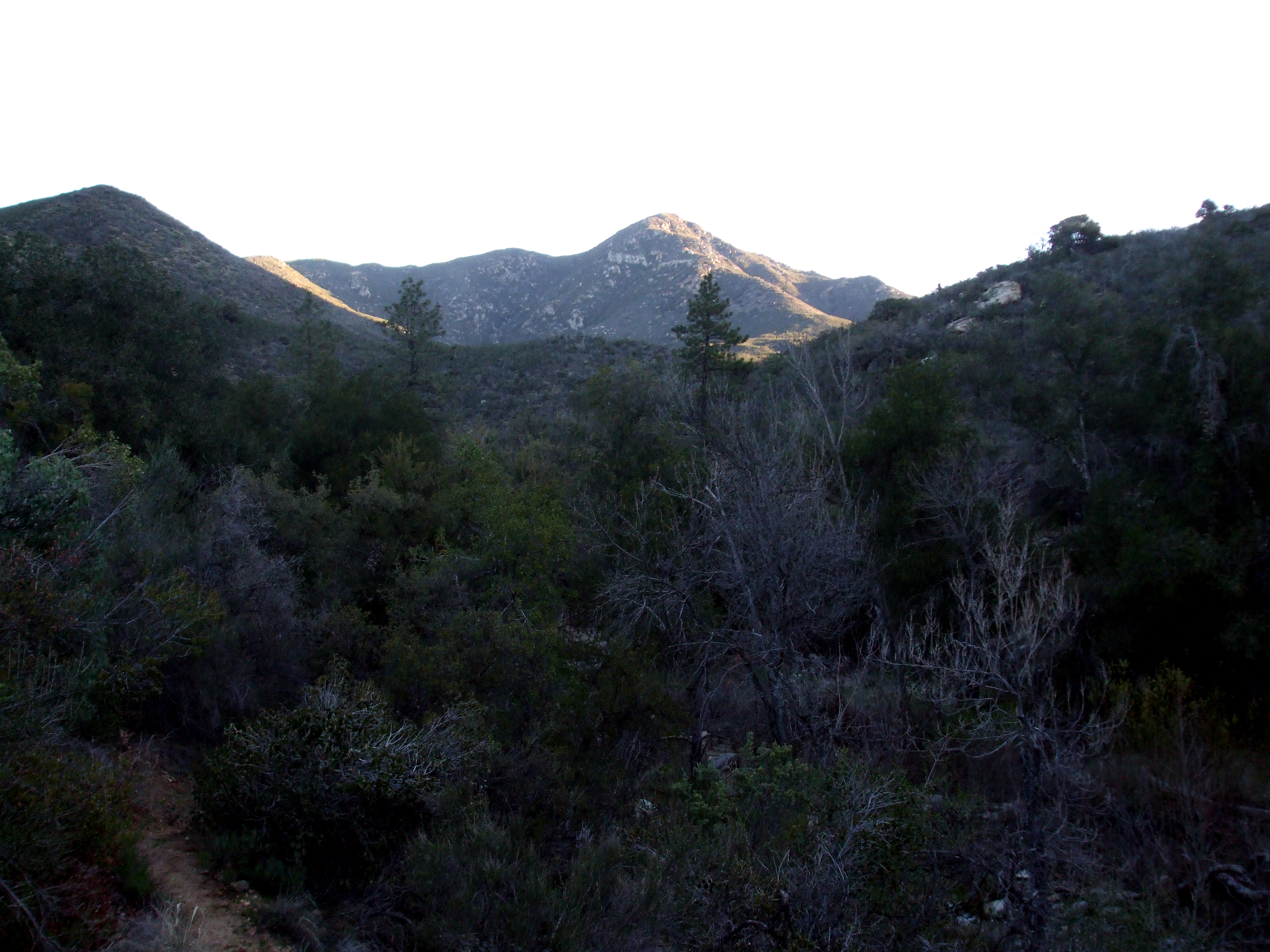
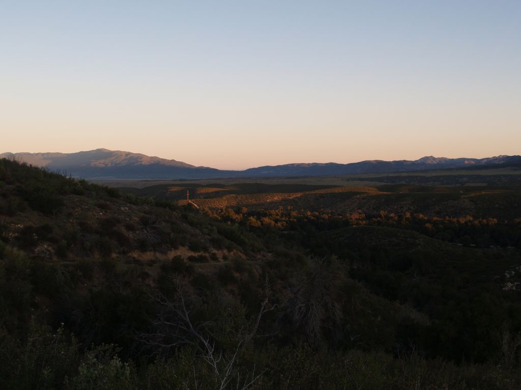
Fotos
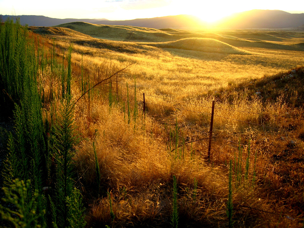
The Golden Day is Dying Beyond the Purple Hill
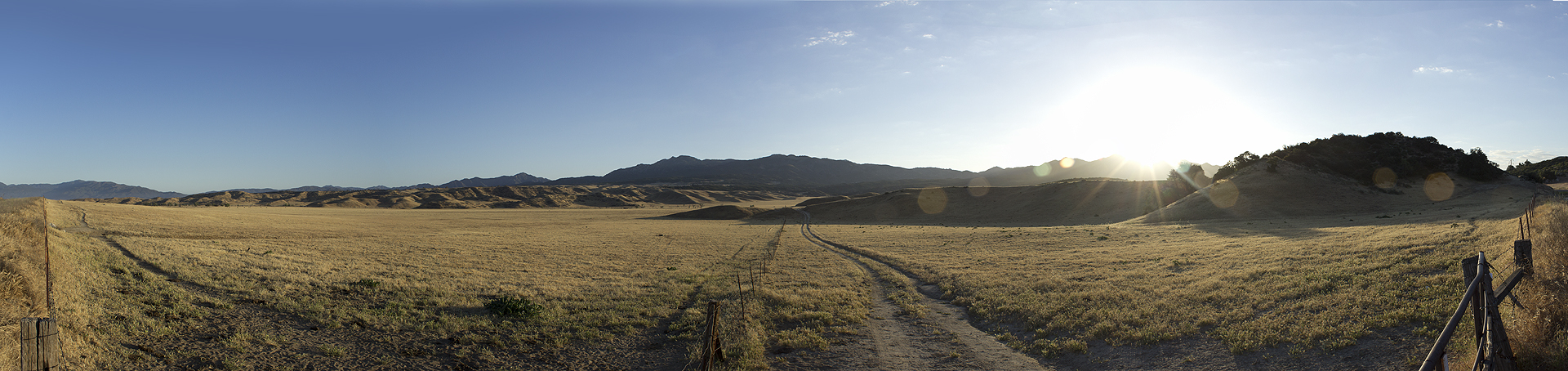
0607 Panorama sunrise from Campsite CS0129 on the PCT

261 PCT San Felipe Hills - sunrise cirrus clouds
S-2/San Felipe Road

S-2/San Felipe Road

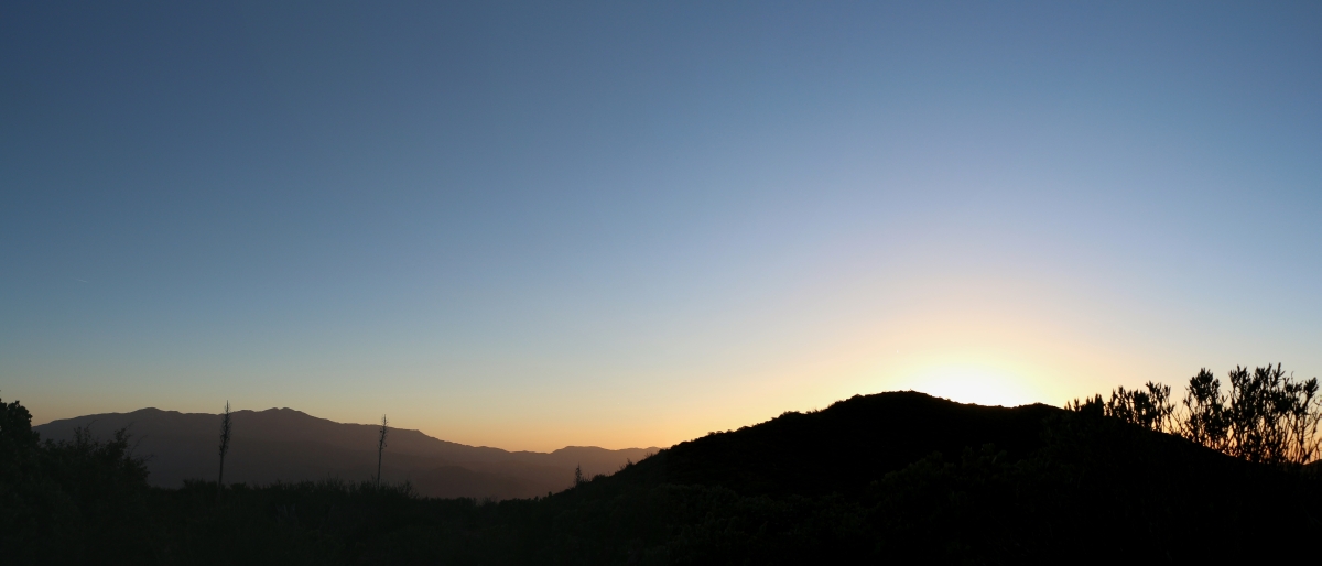
Just Before the Break

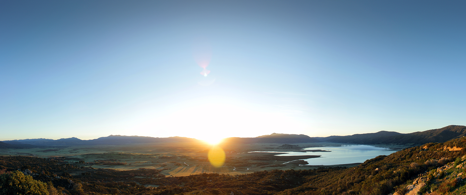
Lake Henshaw Sunrise
Good Morning Sunshine

Misumena (F Thomisidae) with moth prey
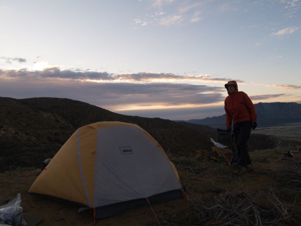
257 PCT San Felipe Hills - sunrise over our tent
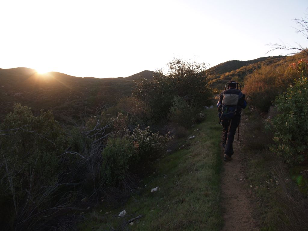
019 PCT - sunrise as we head south from Route S22
025 PCT sunrise
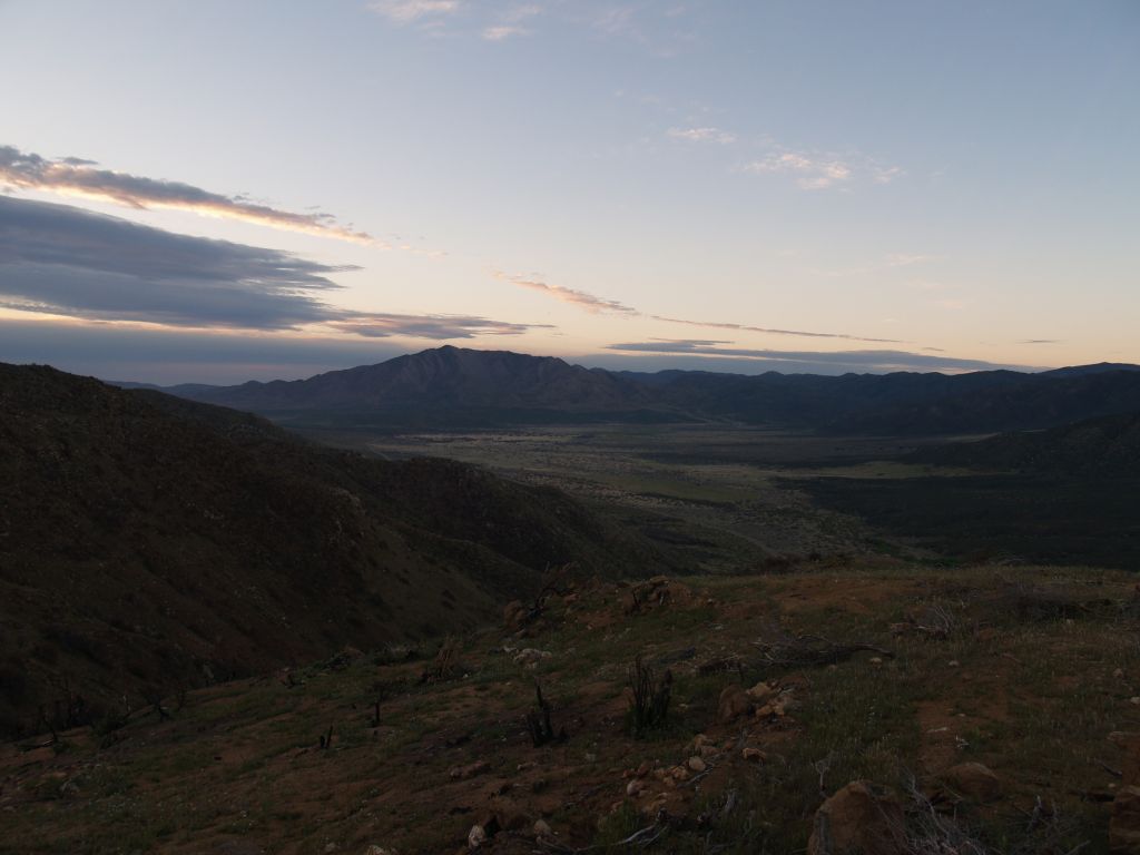
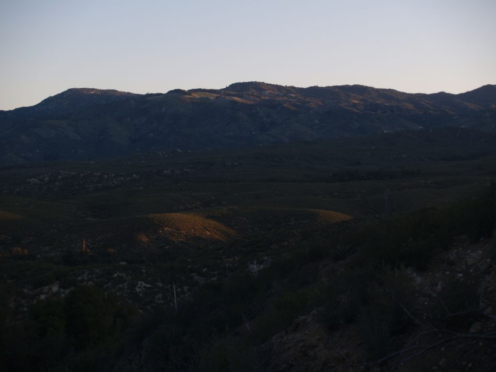
254 PCT San Felipe Hills - sunrise looking south to Granite Mountain
Sunrise in Agua Caliente
023 PCT - sunrise near Route S22 looking north toward Warner Springs
Mapa de Warner Springs, California, EE. UU.
Buscar otro lugar
lugares en Warner Springs, California, EE. UU.
Lugares cercanos
Warner Springs Ranch Resort, CA-79, Warner Springs, CA, EE. UU.
Camino San Ignacio, Warner Springs, CA, EE. UU.
San Felipe, CA, EE. UU.
Chihuahua Valley Rd, Warner Springs, CA, EE. UU.
Schoepe Scout Reservation at Lost Valley, Chihuahua Valley Rd, Warner Springs, CA, EE. UU.
Stamnes Rd, Warner Springs, CA, EE. UU.
Chihuahua Valley Rd, Warner Springs, CA, EE. UU.
Chihuahua Valley Rd, Warner Springs, CA, EE. UU.
Santa Ysabel Tribal Office, Santa Ysabel, CA, EE. UU.
Chihuahua Valley, California, EE. UU.
Montezuma Valley Rd, Ranchita, CA, EE. UU.
Ranchita, California, EE. UU.
Montezuma Valley Rd, Warner Springs, CA, EE. UU.
Montezuma Valley Rd, Warner Springs, CA, EE. UU.
Stevens Way, Warner Springs, CA, EE. UU.
Montezuma Valley Rd, Ranchita, CA, EE. UU.
Santa Ysabel, California, EE. UU.
Dudley's Bakery, CA-78, Santa Ysabel, CA, EE. UU.
Mountainbrook Rd, Santa Ysabel, CA, EE. UU.
Culp Valley Primitive Campground, Montezuma-Borrego Hwy, Ranchita, CA, EE. UU.
Búsquedas recientes
- Horas de salida y puesta de sol de Red Dog Mine, AK, USA
- Horas de salida y puesta de sol de Am Bahnhof, Am bhf, Borken, Germany
- Horas de salida y puesta de sol de 4th St E, Sonoma, CA, EE. UU.
- Horas de salida y puesta de sol de Oakland Ave, Williamsport, PA, EE. UU.
- Horas de salida y puesta de sol de Via Roma, Pieranica CR, Italia
- Horas de salida y puesta de sol de Torre del reloj, Grad, Dubrovnik (Ragusa), Croacia
- Horas de salida y puesta de sol de Trelew, Chubut, Argentina
- Horas de salida y puesta de sol de Hartfords Bluff Cir, Mt Pleasant, SC, EE. UU.
- Horas de salida y puesta de sol de Kita Ward, Kumamoto, Japón
- Horas de salida y puesta de sol de Pingtan Island, Pingtan County, Fuzhou, China