| Timezone: | Pacific Standard Time |
|---|---|
| Current Time: | Sunday, November 15, 2026 12:25 PM |
| Longitude: | -116.5788865 |
| Latitude: | 33.0222883 |
| Sunrise Time Today: | 6:18:22 AM |
| Sunset Time Today: | 4:46:19 PM |
| Daylength Today: | 10h 27m 57s |
| Sunrise Time Tomorrow: | 6:19:17 AM |
| Sunset Time Tomorrow: | 4:45:46 PM |
| Daylength Tomorrow: | 10h 26m 28s |
: Show All Dates
| Date | Sunrise Time | Sunset Time | Daylength |
|---|---|---|---|
| Jan 1, 2026 | 6:50:23 AM | 4:50:48 PM | 10h 0m 25s |
| Feb 1, 2026 | 6:43:35 AM | 5:18:27 PM | 10h 34m 52s |
| Mar 1, 2026 | 6:16:59 AM | 5:43:39 PM | 11h 26m 39s |
| Apr 1, 2026 | 6:36:37 AM | 7:06:35 PM | 12h 29m 58s |
| May 1, 2026 | 6:00:55 AM | 7:28:31 PM | 13h 27m 36s |
| Jun 1, 2026 | 5:40:19 AM | 7:50:38 PM | 14h 10m 18s |
| Jul 1, 2026 | 5:42:03 AM | 8:00:14 PM | 14h 18m 10s |
| Aug 1, 2026 | 6:00:11 AM | 7:47:38 PM | 13h 47m 26s |
| Sep 1, 2026 | 6:21:35 AM | 7:14:42 PM | 12h 53m 7s |
| Oct 1, 2026 | 6:40:59 AM | 6:34:03 PM | 11h 53m 4s |
| Nov 1, 2026 | 7:04:45 AM | 5:57:33 PM | 10h 52m 48s |
| Nov 16, 2026 | 6:18:22 AM | 4:46:19 PM | 10h 27m 57s |
| Nov 17, 2026 | 6:19:17 AM | 4:45:46 PM | 10h 26m 28s |
| Dec 1, 2026 | 6:31:57 AM | 4:41:04 PM | 10h 9m 6s |
Sunrise & Sunset Photos

Perseid Meteor Over Agave in Anza-Borrego Desert State Park. by slworking2

Cuyamaca Christmas by mojo2u

Milky Way and silhouettes of burnt trees in Cuyamaca Rancho State Park by slworking2
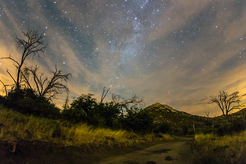
Stonewall Peak, Milky Way, and burnt trees on a cloudy night by slworking2

Highway To Heaven by slworking2

Milky Way Panorama at Cuyamaca Rancho State Park. Different processing. by slworking2

California - Cleveland National Forest by Michael.Kemper

Sunrise Highway, San Diego County, California by paccode

Sunrise Highway, San Diego County, California by paccode

Sunrise Highway, San Diego County, California by paccode

The night sky at Cuyamaca Rancho State Park by slworking2

Sunrise Highway, San Diego County, California by paccode

Estimation by Kent Mercurio

Stonewall Peak at nighttime. Milky Way, too. by slworking2
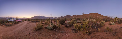
Deserted In the Desert - New Favorite Campsite In Anza-Borrego. Panorama. by slworking2

Vía Láctea by slworking2
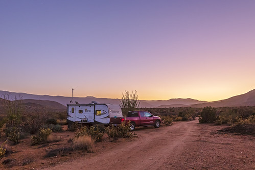
Deserted In the Desert - New Favorite Campsite In Anza-Borrego by slworking2

The Milky Way and burnt trees by slworking2

Sunset over Highway 78 just below the Banner Grade in Anza-Borrego Desert State Park by slworking2

Feeding in the Sunset by Bartfett

The Old Shack Behind the Trees by Bartfett

Walking Through the Autumn Landscape by Bartfett

Inspiration Point Scenic Overlook by Alan Greenberg Photography

☀️ Sunset Over the Mountains 🌄 by slworking2

The Milky Way at Cuyamaca Rancho State Park by slworking2
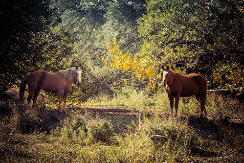
A Moment in the Forest by Bartfett
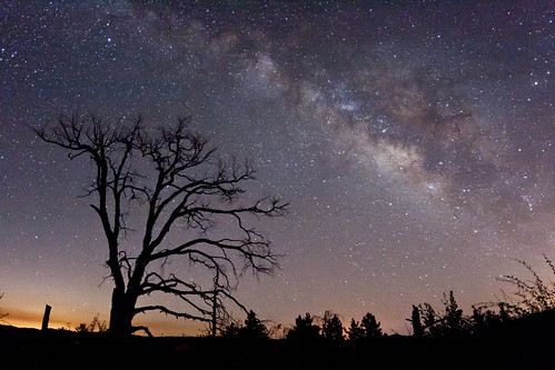
The Milky Way and fire-damaged trees. Paso Picacho Campground at Cuyamaca Rancho State Park by slworking2
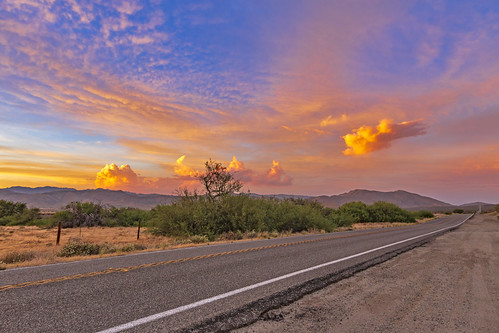
On A Colorful Desert Highway... by slworking2

UFO flying above Stonewall Peak. by slworking2
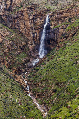
Mildred Falls: San Diego County's Tallest Waterfall by slworking2

A fellow photographer's camera in my frame here. I'm still getting used to the insanely-wide angle that my Sigma 15mm has now that I've recently started using a full frame camera body. by slworking2

Mildred Falls: San Diego County's Tallest Waterfall by slworking2

Up the Steps, Into the Light by Bartfett

Running in the Twilight by Bartfett

Mildred Falls: San Diego County's Tallest Waterfall by slworking2

Scenic Way Down by charles25001
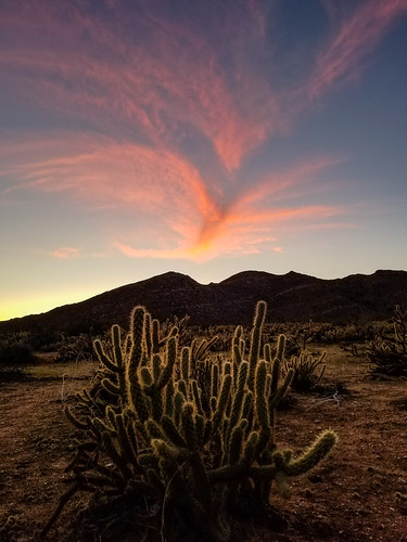
Cholla and Interesting Clouds at Sunset by slworking2

Sunrise Highway northern entrance in snow by slworking2
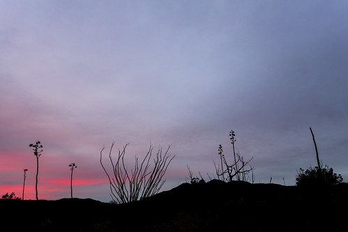
Overcast Desert Sunset With a Hint Of Color by slworking2

Rainbow Over Anza-Borrego Desert State Park by slworking2

Kwaaymi Point by Alan Greenberg Photography
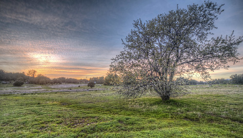
Field of Sunset by Michael F. Nyiri

Sunrise Highway northern entrance in snow by slworking2

2021 New Year Sunrise by 27nm

Rainbow Over the Anza-Borrego Desert by slworking2

Sunrise Highway northern entrance in snow by slworking2

Tom (our Borador) on Indian Creek Road - Mt.Laguna (Calif) 12-25-13 by Bob_ Perry

Looking south to Cleveland National Forest near Granite Springs, Cuyamaca Rancho (Day 2) by andrew c mace

Anza-Borrego Desert Mountains by zeesstof

Tom on Indian Creak Road - Mt. Laguna (Calif) - 12-25-13 b by Bob_ Perry

Sunset near Granite Springs camp, Cuyamaca Rancho (Day 2) by andrew c mace
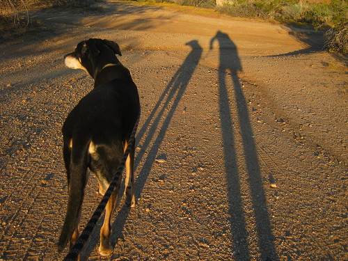
Two long shadows on a morning walk at 7 a.m. on Plantation Road - Anza Borrego Desert State Park - Oct 3, 2013 - This was Rudy's last trip with us. by Bob_ Perry
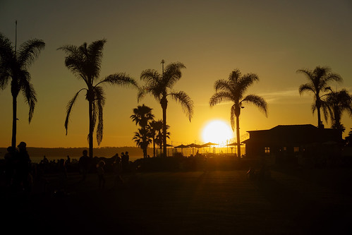
I do like to be beside the ocean side <3 by Katarzyna Aleksandra

Sunset near Granite Springs, Cuyamaca Rancho (Day 2) by andrew c mace

MY 3 MILE LOOP HIKE TO CHAMPAGNE PASS - 10-23-2012 = GREEN line is passable dirt track that I drove in my ultra low clearance 2 wheel drive Toyota Matrix = ORANGE route of hike = for larger image LEF by Bob_ Perry

Main and B in Julian, Calif. 7-14-10 - Main Street is also California Highway 78 and 79 by Bob_ Perry

Pine Mtn trail marker at Pine Mtn Road Jct 9-30-12 by Bob_ Perry

Pine Mountain Trail starts beside Sunrise Highway across from Pionner Mail Trailhead (Mt. Laguna) (San Diego S-1) 12-25-13 by Bob_ Perry

First look at anza-borrego by chris10eyck

Looking back at Matrix - from road along Indian Creek - 9-28-2012 pv by Bob_ Perry