| Timezone: | Pacific Standard Time |
|---|---|
| Current Time: | Tuesday, November 10, 2026 12:29 PM |
| Longitude: | -116.6105506 |
| Latitude: | 33.0156102 |
| Sunrise Time Today: | 6:13:51 AM |
| Sunset Time Today: | 4:49:35 PM |
| Daylength Today: | 10h 35m 43s |
| Sunrise Time Tomorrow: | 6:14:47 AM |
| Sunset Time Tomorrow: | 4:48:54 PM |
| Daylength Tomorrow: | 10h 34m 7s |
: Show All Dates
| Date | Sunrise Time | Sunset Time | Daylength |
|---|---|---|---|
| Jan 1, 2026 | 6:50:30 AM | 4:50:57 PM | 10h 0m 26s |
| Feb 1, 2026 | 6:43:41 AM | 5:18:35 PM | 10h 34m 53s |
| Mar 1, 2026 | 6:17:07 AM | 5:43:47 PM | 11h 26m 40s |
| Apr 1, 2026 | 6:36:45 AM | 7:06:43 PM | 12h 29m 58s |
| May 1, 2026 | 6:01:03 AM | 7:28:38 PM | 13h 27m 35s |
| Jun 1, 2026 | 5:40:27 AM | 7:50:44 PM | 14h 10m 16s |
| Jul 1, 2026 | 5:42:11 AM | 8:00:20 PM | 14h 18m 8s |
| Aug 1, 2026 | 6:00:20 AM | 7:47:44 PM | 13h 47m 24s |
| Sep 1, 2026 | 6:21:43 AM | 7:14:49 PM | 12h 53m 6s |
| Oct 1, 2026 | 6:41:06 AM | 6:34:11 PM | 11h 53m 4s |
| Nov 1, 2026 | 7:04:52 AM | 5:57:41 PM | 10h 52m 49s |
| Nov 11, 2026 | 6:13:51 AM | 4:49:35 PM | 10h 35m 43s |
| Nov 12, 2026 | 6:14:47 AM | 4:48:54 PM | 10h 34m 7s |
| Dec 1, 2026 | 6:32:04 AM | 4:41:12 PM | 10h 9m 8s |
Sunrise & Sunset Photos

Cuyamaca Christmas by mojo2u

NEOWISE from Lake Cuyamaca by Dan@propeakphotography

Milky Way and silhouettes of burnt trees in Cuyamaca Rancho State Park by slworking2
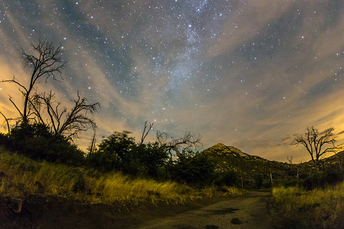
Stonewall Peak, Milky Way, and burnt trees on a cloudy night by slworking2

Highway To Heaven by slworking2

Milky Way Panorama at Cuyamaca Rancho State Park. Different processing. by slworking2

California - Cleveland National Forest by Michael.Kemper

Sunrise Highway, San Diego County, California by paccode

Sunrise Highway, San Diego County, California by paccode

Sunrise Highway, San Diego County, California by paccode

The night sky at Cuyamaca Rancho State Park by slworking2

Sunrise Highway, San Diego County, California by paccode

Stonewall Peak at nighttime. Milky Way, too. by slworking2

Banner Grade Sunrise by Alan Greenberg Photography

Sunset over Highway 78 just below the Banner Grade in Anza-Borrego Desert State Park by slworking2

Feeding in the Sunset by Bartfett

The Old Shack Behind the Trees by Bartfett

Walking Through the Autumn Landscape by Bartfett

Inspiration Point Scenic Overlook by Alan Greenberg Photography
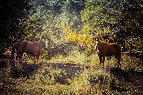
A Moment in the Forest by Bartfett
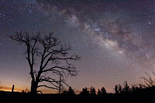
The Milky Way and fire-damaged trees. Paso Picacho Campground at Cuyamaca Rancho State Park by slworking2
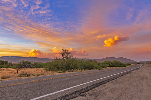
On A Colorful Desert Highway... by slworking2
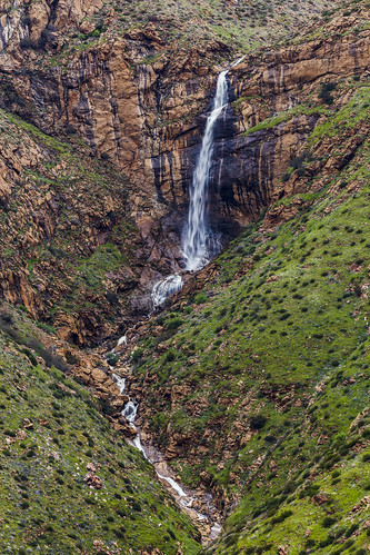
Mildred Falls: San Diego County's Tallest Waterfall by slworking2

Mildred Falls: San Diego County's Tallest Waterfall by slworking2
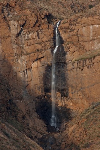
Magic Hour at Mildred Falls by goldenstatephoto

Up the Steps, Into the Light by Bartfett

Mildred Falls: San Diego County's Tallest Waterfall by slworking2

Scenic Way Down by charles25001

Sunrise Highway northern entrance in snow by slworking2

Kwaaymi Point by Alan Greenberg Photography
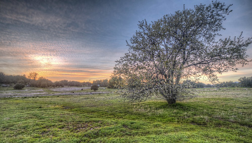
Field of Sunset by Michael F. Nyiri

Sunrise Highway northern entrance in snow by slworking2

2021 New Year Sunrise by 27nm

Sunrise Highway northern entrance in snow by slworking2

Waiting for Sunset near Granite Springs Camp, Cuyamaca Rancho State Park (Day 2) by andrew c mace

Looking south to Cleveland National Forest near Granite Springs, Cuyamaca Rancho (Day 2) by andrew c mace

Anza-Borrego Desert Mountains by zeesstof

Sunset near Granite Springs camp, Cuyamaca Rancho (Day 2) by andrew c mace

Sunset near Granite Springs camp, Cuyamaca Rancho (Day 2) by andrew c mace
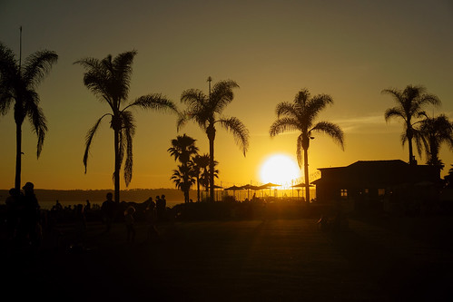
I do like to be beside the ocean side <3 by Katarzyna Aleksandra

Sunset near Granite Springs, Cuyamaca Rancho (Day 2) by andrew c mace

The Milky Way and fire-damaged trees. Paso Picacho Campground at Cuyamaca Rancho State Park by slworking2

Main and B in Julian, Calif. 7-14-10 - Main Street is also California Highway 78 and 79 by Bob_ Perry

Pine Mtn trail marker at Pine Mtn Road Jct 9-30-12 by Bob_ Perry

Pacific Crest Trail in foreground and distance as seen from Pioneer Mail PIcnic Area 8-21-2013 by Bob_ Perry

Pine Mountain Trail starts beside Sunrise Highway across from Pionner Mail Trailhead (Mt. Laguna) (San Diego S-1) 12-25-13 by Bob_ Perry

First look at anza-borrego by chris10eyck

DSCF 2113c by Photography by Mark Hall

Quartz Vein by zeesstof

Sunset from Cuyamaca Lake in Cuyamaca Rancho State Park by Jim Frazee

Pine Mountain Road near Sunrise Highway 8-21-2013 a by Bob_ Perry

Indian Creek Trail (left) east of Champagne Pass 9-30-2012 by Bob_ Perry

THE FIRE OF 2003 - note the clump of fir trees in the foreground. This is the way "natural" fires are supposed to burn; leaving the tree tops to thrive and able to reproduce. (9-30-2012) by Bob_ Perry

THE NORTH END OF PINE MOUNTAIN TRAIL; MY CAR; SUNRISE HIGHWAY 9-30-2012 == to see the image better LEFT CLICK ON THE IMAGE by Bob_ Perry

Pine Mountain Road west of Sunrise Highway 8-21-2013 f by Bob_ Perry

Pine Mountain Road just west of Chariot Fire damage / Indian Creek on the left // 8-21-2013 b by Bob_ Perry

Trails by the Cabin. by slavethewhales

White camper parked on PINE CREEK ROAD 9-30-2012 -- Pine Creek Road is a paved ONE LANE road from Sunrise Highway (mile marker 28) down to Old US 80 a mile west of Pine Valley, CA by Bob_ Perry

Cuyamaca and Stonewall Peaks seen from Pine Mountain Trail - Mt. Laguna, CA -- both peaks are in Cuyamaca State Park by Bob_ Perry

MY HIKE TO CHAMPAGNE PASS 9-30-2012 = for a larger map RIGHT CLICK on the image then LEFT CLICK on ORIGINAL by Bob_ Perry