美国堪萨斯切罗基的日出日落时间表
Location: 美国 > 堪萨斯 >
时区:
America/Chicago
当地时间:
2024-05-01 20:31:28
经度:
-94.8105955
纬度:
37.1142482
今天日出时间:
06:22:21 AM
今天日落时间:
08:09:54 PM
今天日照时常:
13h 47m 33s
明天日出时间:
06:21:16 AM
明天日落时间:
08:10:48 PM
明天日照时常:
13h 49m 32s
显示所有日期
| 日期 | 日出 | 日落 | 日照时常 |
|---|---|---|---|
| 2024年01月01日 | 07:32:50 AM | 05:13:16 PM | 9h 40m 26s |
| 2024年01月02日 | 07:32:57 AM | 05:14:04 PM | 9h 41m 7s |
| 2024年01月03日 | 07:33:02 AM | 05:14:53 PM | 9h 41m 51s |
| 2024年01月04日 | 07:33:06 AM | 05:15:44 PM | 9h 42m 38s |
| 2024年01月05日 | 07:33:07 AM | 05:16:36 PM | 9h 43m 29s |
| 2024年01月06日 | 07:33:06 AM | 05:17:29 PM | 9h 44m 23s |
| 2024年01月07日 | 07:33:04 AM | 05:18:24 PM | 9h 45m 20s |
| 2024年01月08日 | 07:32:59 AM | 05:19:19 PM | 9h 46m 20s |
| 2024年01月09日 | 07:32:52 AM | 05:20:15 PM | 9h 47m 23s |
| 2024年01月10日 | 07:32:43 AM | 05:21:12 PM | 9h 48m 29s |
| 2024年01月11日 | 07:32:32 AM | 05:22:10 PM | 9h 49m 38s |
| 2024年01月12日 | 07:32:19 AM | 05:23:09 PM | 9h 50m 50s |
| 2024年01月13日 | 07:32:05 AM | 05:24:08 PM | 9h 52m 3s |
| 2024年01月14日 | 07:31:48 AM | 05:25:09 PM | 9h 53m 21s |
| 2024年01月15日 | 07:31:29 AM | 05:26:10 PM | 9h 54m 41s |
| 2024年01月16日 | 07:31:08 AM | 05:27:11 PM | 9h 56m 3s |
| 2024年01月17日 | 07:30:45 AM | 05:28:13 PM | 9h 57m 28s |
| 2024年01月18日 | 07:30:20 AM | 05:29:16 PM | 9h 58m 56s |
| 2024年01月19日 | 07:29:53 AM | 05:30:19 PM | 10h 0m 26s |
| 2024年01月20日 | 07:29:25 AM | 05:31:22 PM | 10h 1m 57s |
| 2024年01月21日 | 07:28:54 AM | 05:32:26 PM | 10h 3m 32s |
| 2024年01月22日 | 07:28:22 AM | 05:33:31 PM | 10h 5m 9s |
| 2024年01月23日 | 07:27:48 AM | 05:34:35 PM | 10h 6m 47s |
| 2024年01月24日 | 07:27:11 AM | 05:35:40 PM | 10h 8m 29s |
| 2024年01月25日 | 07:26:34 AM | 05:36:45 PM | 10h 10m 11s |
| 2024年01月26日 | 07:25:54 AM | 05:37:50 PM | 10h 11m 56s |
| 2024年01月27日 | 07:25:12 AM | 05:38:55 PM | 10h 13m 43s |
| 2024年01月28日 | 07:24:29 AM | 05:40:01 PM | 10h 15m 32s |
| 2024年01月29日 | 07:23:44 AM | 05:41:06 PM | 10h 17m 22s |
| 2024年01月30日 | 07:22:58 AM | 05:42:12 PM | 10h 19m 14s |
| 2024年01月31日 | 07:22:10 AM | 05:43:17 PM | 10h 21m 7s |
| 2024年02月01日 | 07:21:20 AM | 05:44:23 PM | 10h 23m 3s |
| 2024年02月02日 | 07:20:28 AM | 05:45:28 PM | 10h 25m 0s |
| 2024年02月03日 | 07:19:35 AM | 05:46:34 PM | 10h 26m 59s |
| 2024年02月04日 | 07:18:41 AM | 05:47:39 PM | 10h 28m 58s |
| 2024年02月05日 | 07:17:45 AM | 05:48:44 PM | 10h 30m 59s |
| 2024年02月06日 | 07:16:48 AM | 05:49:50 PM | 10h 33m 2s |
| 2024年02月07日 | 07:15:49 AM | 05:50:54 PM | 10h 35m 5s |
| 2024年02月08日 | 07:14:48 AM | 05:51:59 PM | 10h 37m 11s |
| 2024年02月09日 | 07:13:47 AM | 05:53:04 PM | 10h 39m 17s |
| 2024年02月10日 | 07:12:44 AM | 05:54:08 PM | 10h 41m 24s |
| 2024年02月11日 | 07:11:40 AM | 05:55:12 PM | 10h 43m 32s |
| 2024年02月12日 | 07:10:34 AM | 05:56:16 PM | 10h 45m 42s |
| 2024年02月13日 | 07:09:27 AM | 05:57:19 PM | 10h 47m 52s |
| 2024年02月14日 | 07:08:19 AM | 05:58:23 PM | 10h 50m 4s |
| 2024年02月15日 | 07:07:10 AM | 05:59:26 PM | 10h 52m 16s |
| 2024年02月16日 | 07:06:00 AM | 06:00:28 PM | 10h 54m 28s |
| 2024年02月17日 | 07:04:49 AM | 06:01:31 PM | 10h 56m 42s |
| 2024年02月18日 | 07:03:36 AM | 06:02:33 PM | 10h 58m 57s |
| 2024年02月19日 | 07:02:23 AM | 06:03:35 PM | 11h 1m 12s |
| 2024年02月20日 | 07:01:08 AM | 06:04:36 PM | 11h 3m 28s |
| 2024年02月21日 | 06:59:53 AM | 06:05:37 PM | 11h 5m 44s |
| 2024年02月22日 | 06:58:37 AM | 06:06:38 PM | 11h 8m 1s |
| 2024年02月23日 | 06:57:19 AM | 06:07:38 PM | 11h 10m 19s |
| 2024年02月24日 | 06:56:01 AM | 06:08:39 PM | 11h 12m 38s |
| 2024年02月25日 | 06:54:42 AM | 06:09:38 PM | 11h 14m 56s |
| 2024年02月26日 | 06:53:23 AM | 06:10:38 PM | 11h 17m 15s |
| 2024年02月27日 | 06:52:02 AM | 06:11:37 PM | 11h 19m 35s |
| 2024年02月28日 | 06:50:41 AM | 06:12:36 PM | 11h 21m 55s |
| 2024年02月29日 | 06:49:19 AM | 06:13:35 PM | 11h 24m 16s |
| 2024年03月01日 | 06:47:56 AM | 06:14:33 PM | 11h 26m 37s |
| 2024年03月02日 | 06:46:33 AM | 06:15:31 PM | 11h 28m 58s |
| 2024年03月03日 | 06:45:09 AM | 06:16:28 PM | 11h 31m 19s |
| 2024年03月04日 | 06:43:44 AM | 06:17:26 PM | 11h 33m 42s |
| 2024年03月05日 | 06:42:19 AM | 06:18:23 PM | 11h 36m 4s |
| 2024年03月06日 | 06:40:54 AM | 06:19:20 PM | 11h 38m 26s |
| 2024年03月07日 | 06:39:28 AM | 06:20:16 PM | 11h 40m 48s |
| 2024年03月08日 | 06:38:01 AM | 06:21:12 PM | 11h 43m 11s |
| 2024年03月09日 | 06:36:34 AM | 06:22:08 PM | 11h 45m 34s |
| 2024年03月10日 | 07:35:11 AM | 07:23:02 PM | 11h 47m 51s |
| 2024年03月11日 | 07:33:43 AM | 07:23:57 PM | 11h 50m 14s |
| 2024年03月12日 | 07:32:15 AM | 07:24:53 PM | 11h 52m 38s |
| 2024年03月13日 | 07:30:47 AM | 07:25:48 PM | 11h 55m 1s |
| 2024年03月14日 | 07:29:18 AM | 07:26:43 PM | 11h 57m 25s |
| 2024年03月15日 | 07:27:49 AM | 07:27:38 PM | 11h 59m 49s |
| 2024年03月16日 | 07:26:20 AM | 07:28:32 PM | 12h 2m 12s |
| 2024年03月17日 | 07:24:51 AM | 07:29:26 PM | 12h 4m 35s |
| 2024年03月18日 | 07:23:22 AM | 07:30:21 PM | 12h 6m 59s |
| 2024年03月19日 | 07:21:52 AM | 07:31:15 PM | 12h 9m 23s |
| 2024年03月20日 | 07:20:23 AM | 07:32:09 PM | 12h 11m 46s |
| 2024年03月21日 | 07:18:53 AM | 07:33:02 PM | 12h 14m 9s |
| 2024年03月22日 | 07:17:23 AM | 07:33:56 PM | 12h 16m 33s |
| 2024年03月23日 | 07:15:54 AM | 07:34:50 PM | 12h 18m 56s |
| 2024年03月24日 | 07:14:24 AM | 07:35:43 PM | 12h 21m 19s |
| 2024年03月25日 | 07:12:54 AM | 07:36:36 PM | 12h 23m 42s |
| 2024年03月26日 | 07:11:25 AM | 07:37:30 PM | 12h 26m 5s |
| 2024年03月27日 | 07:09:55 AM | 07:38:23 PM | 12h 28m 28s |
| 2024年03月28日 | 07:08:26 AM | 07:39:16 PM | 12h 30m 50s |
| 2024年03月29日 | 07:06:57 AM | 07:40:09 PM | 12h 33m 12s |
| 2024年03月30日 | 07:05:28 AM | 07:41:02 PM | 12h 35m 34s |
| 2024年03月31日 | 07:04:00 AM | 07:41:55 PM | 12h 37m 55s |
| 2024年04月01日 | 07:02:31 AM | 07:42:48 PM | 12h 40m 17s |
| 2024年04月02日 | 07:01:03 AM | 07:43:41 PM | 12h 42m 38s |
| 2024年04月03日 | 06:59:35 AM | 07:44:34 PM | 12h 44m 59s |
| 2024年04月04日 | 06:58:08 AM | 07:45:27 PM | 12h 47m 19s |
| 2024年04月05日 | 06:56:41 AM | 07:46:20 PM | 12h 49m 39s |
| 2024年04月06日 | 06:55:14 AM | 07:47:13 PM | 12h 51m 59s |
| 2024年04月07日 | 06:53:48 AM | 07:48:06 PM | 12h 54m 18s |
| 2024年04月08日 | 06:52:23 AM | 07:49:00 PM | 12h 56m 37s |
| 2024年04月09日 | 06:50:58 AM | 07:49:53 PM | 12h 58m 55s |
| 2024年04月10日 | 06:49:33 AM | 07:50:46 PM | 13h 1m 13s |
| 2024年04月11日 | 06:48:09 AM | 07:51:39 PM | 13h 3m 30s |
| 2024年04月12日 | 06:46:45 AM | 07:52:32 PM | 13h 5m 47s |
| 2024年04月13日 | 06:45:22 AM | 07:53:26 PM | 13h 8m 4s |
| 2024年04月14日 | 06:44:00 AM | 07:54:19 PM | 13h 10m 19s |
| 2024年04月15日 | 06:42:39 AM | 07:55:12 PM | 13h 12m 33s |
| 2024年04月16日 | 06:41:18 AM | 07:56:06 PM | 13h 14m 48s |
| 2024年04月17日 | 06:39:58 AM | 07:56:59 PM | 13h 17m 1s |
| 2024年04月18日 | 06:38:39 AM | 07:57:53 PM | 13h 19m 14s |
| 2024年04月19日 | 06:37:20 AM | 07:58:46 PM | 13h 21m 26s |
| 2024年04月20日 | 06:36:02 AM | 07:59:40 PM | 13h 23m 38s |
| 2024年04月21日 | 06:34:46 AM | 08:00:34 PM | 13h 25m 48s |
| 2024年04月22日 | 06:33:30 AM | 08:01:27 PM | 13h 27m 57s |
| 2024年04月23日 | 06:32:15 AM | 08:02:21 PM | 13h 30m 6s |
| 2024年04月24日 | 06:31:01 AM | 08:03:15 PM | 13h 32m 14s |
| 2024年04月25日 | 06:29:47 AM | 08:04:08 PM | 13h 34m 21s |
| 2024年04月26日 | 06:28:35 AM | 08:05:02 PM | 13h 36m 27s |
| 2024年04月27日 | 06:27:24 AM | 08:05:56 PM | 13h 38m 32s |
| 2024年04月28日 | 06:26:14 AM | 08:06:49 PM | 13h 40m 35s |
| 2024年04月29日 | 06:25:05 AM | 08:07:43 PM | 13h 42m 38s |
| 2024年04月30日 | 06:23:58 AM | 08:08:36 PM | 13h 44m 38s |
| 2024年05月01日 | 06:22:51 AM | 08:09:30 PM | 13h 46m 39s |
| 2024年05月02日 | 06:21:46 AM | 08:10:23 PM | 13h 48m 37s |
| 2024年05月03日 | 06:20:41 AM | 08:11:17 PM | 13h 50m 36s |
| 2024年05月04日 | 06:19:38 AM | 08:12:10 PM | 13h 52m 32s |
| 2024年05月05日 | 06:18:37 AM | 08:13:03 PM | 13h 54m 26s |
| 2024年05月06日 | 06:17:36 AM | 08:13:56 PM | 13h 56m 20s |
| 2024年05月07日 | 06:16:37 AM | 08:14:48 PM | 13h 58m 11s |
| 2024年05月08日 | 06:15:39 AM | 08:15:41 PM | 14h 0m 2s |
| 2024年05月09日 | 06:14:43 AM | 08:16:33 PM | 14h 1m 50s |
| 2024年05月10日 | 06:13:48 AM | 08:17:25 PM | 14h 3m 37s |
| 2024年05月11日 | 06:12:54 AM | 08:18:17 PM | 14h 5m 23s |
| 2024年05月12日 | 06:12:02 AM | 08:19:08 PM | 14h 7m 6s |
| 2024年05月13日 | 06:11:11 AM | 08:20:00 PM | 14h 8m 49s |
| 2024年05月14日 | 06:10:22 AM | 08:20:50 PM | 14h 10m 28s |
| 2024年05月15日 | 06:09:35 AM | 08:21:41 PM | 14h 12m 6s |
| 2024年05月16日 | 06:08:49 AM | 08:22:31 PM | 14h 13m 42s |
| 2024年05月17日 | 06:08:04 AM | 08:23:20 PM | 14h 15m 16s |
| 2024年05月18日 | 06:07:21 AM | 08:24:09 PM | 14h 16m 48s |
| 2024年05月19日 | 06:06:40 AM | 08:24:58 PM | 14h 18m 18s |
| 2024年05月20日 | 06:06:00 AM | 08:25:46 PM | 14h 19m 46s |
| 2024年05月21日 | 06:05:22 AM | 08:26:33 PM | 14h 21m 11s |
| 2024年05月22日 | 06:04:45 AM | 08:27:20 PM | 14h 22m 35s |
| 2024年05月23日 | 06:04:10 AM | 08:28:06 PM | 14h 23m 56s |
| 2024年05月24日 | 06:03:37 AM | 08:28:51 PM | 14h 25m 14s |
| 2024年05月25日 | 06:03:06 AM | 08:29:36 PM | 14h 26m 30s |
| 2024年05月26日 | 06:02:36 AM | 08:30:20 PM | 14h 27m 44s |
| 2024年05月27日 | 06:02:08 AM | 08:31:03 PM | 14h 28m 55s |
| 2024年05月28日 | 06:01:42 AM | 08:31:45 PM | 14h 30m 3s |
| 2024年05月29日 | 06:01:17 AM | 08:32:27 PM | 14h 31m 10s |
| 2024年05月30日 | 06:00:55 AM | 08:33:07 PM | 14h 32m 12s |
| 2024年05月31日 | 06:00:34 AM | 08:33:47 PM | 14h 33m 13s |
| 2024年06月01日 | 06:00:14 AM | 08:34:25 PM | 14h 34m 11s |
| 2024年06月02日 | 05:59:57 AM | 08:35:03 PM | 14h 35m 6s |
| 2024年06月03日 | 05:59:41 AM | 08:35:39 PM | 14h 35m 58s |
| 2024年06月04日 | 05:59:27 AM | 08:36:14 PM | 14h 36m 47s |
| 2024年06月05日 | 05:59:15 AM | 08:36:48 PM | 14h 37m 33s |
| 2024年06月06日 | 05:59:05 AM | 08:37:21 PM | 14h 38m 16s |
| 2024年06月07日 | 05:58:56 AM | 08:37:53 PM | 14h 38m 57s |
| 2024年06月08日 | 05:58:49 AM | 08:38:24 PM | 14h 39m 35s |
| 2024年06月09日 | 05:58:44 AM | 08:38:53 PM | 14h 40m 9s |
| 2024年06月10日 | 05:58:40 AM | 08:39:21 PM | 14h 40m 41s |
| 2024年06月11日 | 05:58:39 AM | 08:39:47 PM | 14h 41m 8s |
| 2024年06月12日 | 05:58:39 AM | 08:40:12 PM | 14h 41m 33s |
| 2024年06月13日 | 05:58:41 AM | 08:40:36 PM | 14h 41m 55s |
| 2024年06月14日 | 05:58:44 AM | 08:40:58 PM | 14h 42m 14s |
| 2024年06月15日 | 05:58:49 AM | 08:41:19 PM | 14h 42m 30s |
| 2024年06月16日 | 05:58:56 AM | 08:41:38 PM | 14h 42m 42s |
| 2024年06月17日 | 05:59:04 AM | 08:41:56 PM | 14h 42m 52s |
| 2024年06月18日 | 05:59:14 AM | 08:42:12 PM | 14h 42m 58s |
| 2024年06月19日 | 05:59:26 AM | 08:42:27 PM | 14h 43m 1s |
| 2024年06月20日 | 05:59:39 AM | 08:42:39 PM | 14h 43m 0s |
| 2024年06月21日 | 05:59:54 AM | 08:42:51 PM | 14h 42m 57s |
| 2024年06月22日 | 06:00:11 AM | 08:43:00 PM | 14h 42m 49s |
| 2024年06月23日 | 06:00:28 AM | 08:43:08 PM | 14h 42m 40s |
| 2024年06月24日 | 06:00:48 AM | 08:43:14 PM | 14h 42m 26s |
| 2024年06月25日 | 06:01:08 AM | 08:43:19 PM | 14h 42m 11s |
| 2024年06月26日 | 06:01:31 AM | 08:43:21 PM | 14h 41m 50s |
| 2024年06月27日 | 06:01:54 AM | 08:43:22 PM | 14h 41m 28s |
| 2024年06月28日 | 06:02:19 AM | 08:43:22 PM | 14h 41m 3s |
| 2024年06月29日 | 06:02:45 AM | 08:43:19 PM | 14h 40m 34s |
| 2024年06月30日 | 06:03:13 AM | 08:43:15 PM | 14h 40m 2s |
| 2024年07月01日 | 06:03:41 AM | 08:43:08 PM | 14h 39m 27s |
| 2024年07月02日 | 06:04:11 AM | 08:43:00 PM | 14h 38m 49s |
| 2024年07月03日 | 06:04:42 AM | 08:42:51 PM | 14h 38m 9s |
| 2024年07月04日 | 06:05:15 AM | 08:42:39 PM | 14h 37m 24s |
| 2024年07月05日 | 06:05:48 AM | 08:42:26 PM | 14h 36m 38s |
| 2024年07月06日 | 06:06:22 AM | 08:42:10 PM | 14h 35m 48s |
| 2024年07月07日 | 06:06:58 AM | 08:41:53 PM | 14h 34m 55s |
| 2024年07月08日 | 06:07:34 AM | 08:41:35 PM | 14h 34m 1s |
| 2024年07月09日 | 06:08:12 AM | 08:41:14 PM | 14h 33m 2s |
| 2024年07月10日 | 06:08:50 AM | 08:40:52 PM | 14h 32m 2s |
| 2024年07月11日 | 06:09:29 AM | 08:40:27 PM | 14h 30m 58s |
| 2024年07月12日 | 06:10:09 AM | 08:40:01 PM | 14h 29m 52s |
| 2024年07月13日 | 06:10:50 AM | 08:39:34 PM | 14h 28m 44s |
| 2024年07月14日 | 06:11:31 AM | 08:39:04 PM | 14h 27m 33s |
| 2024年07月15日 | 06:12:13 AM | 08:38:33 PM | 14h 26m 20s |
| 2024年07月16日 | 06:12:56 AM | 08:38:00 PM | 14h 25m 4s |
| 2024年07月17日 | 06:13:40 AM | 08:37:25 PM | 14h 23m 45s |
| 2024年07月18日 | 06:14:24 AM | 08:36:49 PM | 14h 22m 25s |
| 2024年07月19日 | 06:15:09 AM | 08:36:10 PM | 14h 21m 1s |
| 2024年07月20日 | 06:15:54 AM | 08:35:31 PM | 14h 19m 37s |
| 2024年07月21日 | 06:16:40 AM | 08:34:49 PM | 14h 18m 9s |
| 2024年07月22日 | 06:17:26 AM | 08:34:06 PM | 14h 16m 40s |
| 2024年07月23日 | 06:18:13 AM | 08:33:21 PM | 14h 15m 8s |
| 2024年07月24日 | 06:19:00 AM | 08:32:35 PM | 14h 13m 35s |
| 2024年07月25日 | 06:19:48 AM | 08:31:47 PM | 14h 11m 59s |
| 2024年07月26日 | 06:20:36 AM | 08:30:58 PM | 14h 10m 22s |
| 2024年07月27日 | 06:21:24 AM | 08:30:07 PM | 14h 8m 43s |
| 2024年07月28日 | 06:22:12 AM | 08:29:14 PM | 14h 7m 2s |
| 2024年07月29日 | 06:23:01 AM | 08:28:20 PM | 14h 5m 19s |
| 2024年07月30日 | 06:23:50 AM | 08:27:25 PM | 14h 3m 35s |
| 2024年07月31日 | 06:24:39 AM | 08:26:28 PM | 14h 1m 49s |
| 2024年08月01日 | 06:25:29 AM | 08:25:30 PM | 14h 0m 1s |
| 2024年08月02日 | 06:26:18 AM | 08:24:30 PM | 13h 58m 12s |
| 2024年08月03日 | 06:27:08 AM | 08:23:29 PM | 13h 56m 21s |
| 2024年08月04日 | 06:27:58 AM | 08:22:27 PM | 13h 54m 29s |
| 2024年08月05日 | 06:28:48 AM | 08:21:24 PM | 13h 52m 36s |
| 2024年08月06日 | 06:29:38 AM | 08:20:19 PM | 13h 50m 41s |
| 2024年08月07日 | 06:30:28 AM | 08:19:13 PM | 13h 48m 45s |
| 2024年08月08日 | 06:31:18 AM | 08:18:05 PM | 13h 46m 47s |
| 2024年08月09日 | 06:32:08 AM | 08:16:57 PM | 13h 44m 49s |
| 2024年08月10日 | 06:32:58 AM | 08:15:47 PM | 13h 42m 49s |
| 2024年08月11日 | 06:33:48 AM | 08:14:37 PM | 13h 40m 49s |
| 2024年08月12日 | 06:34:39 AM | 08:13:25 PM | 13h 38m 46s |
| 2024年08月13日 | 06:35:29 AM | 08:12:12 PM | 13h 36m 43s |
| 2024年08月14日 | 06:36:19 AM | 08:10:58 PM | 13h 34m 39s |
| 2024年08月15日 | 06:37:09 AM | 08:09:43 PM | 13h 32m 34s |
| 2024年08月16日 | 06:37:59 AM | 08:08:27 PM | 13h 30m 28s |
| 2024年08月17日 | 06:38:49 AM | 08:07:10 PM | 13h 28m 21s |
| 2024年08月18日 | 06:39:39 AM | 08:05:52 PM | 13h 26m 13s |
| 2024年08月19日 | 06:40:29 AM | 08:04:33 PM | 13h 24m 4s |
| 2024年08月20日 | 06:41:19 AM | 08:03:14 PM | 13h 21m 55s |
| 2024年08月21日 | 06:42:08 AM | 08:01:53 PM | 13h 19m 45s |
| 2024年08月22日 | 06:42:58 AM | 08:00:32 PM | 13h 17m 34s |
| 2024年08月23日 | 06:43:47 AM | 07:59:10 PM | 13h 15m 23s |
| 2024年08月24日 | 06:44:37 AM | 07:57:47 PM | 13h 13m 10s |
| 2024年08月25日 | 06:45:26 AM | 07:56:24 PM | 13h 10m 58s |
| 2024年08月26日 | 06:46:16 AM | 07:55:00 PM | 13h 8m 44s |
| 2024年08月27日 | 06:47:05 AM | 07:53:35 PM | 13h 6m 30s |
| 2024年08月28日 | 06:47:54 AM | 07:52:10 PM | 13h 4m 16s |
| 2024年08月29日 | 06:48:43 AM | 07:50:43 PM | 13h 2m 0s |
| 2024年08月30日 | 06:49:32 AM | 07:49:17 PM | 12h 59m 45s |
| 2024年08月31日 | 06:50:21 AM | 07:47:50 PM | 12h 57m 29s |
| 2024年09月01日 | 06:51:10 AM | 07:46:22 PM | 12h 55m 12s |
| 2024年09月02日 | 06:51:59 AM | 07:44:54 PM | 12h 52m 55s |
| 2024年09月03日 | 06:52:48 AM | 07:43:25 PM | 12h 50m 37s |
| 2024年09月04日 | 06:53:37 AM | 07:41:56 PM | 12h 48m 19s |
| 2024年09月05日 | 06:54:25 AM | 07:40:27 PM | 12h 46m 2s |
| 2024年09月06日 | 06:55:14 AM | 07:38:57 PM | 12h 43m 43s |
| 2024年09月07日 | 06:56:03 AM | 07:37:27 PM | 12h 41m 24s |
| 2024年09月08日 | 06:56:51 AM | 07:35:56 PM | 12h 39m 5s |
| 2024年09月09日 | 06:57:40 AM | 07:34:26 PM | 12h 36m 46s |
| 2024年09月10日 | 06:58:29 AM | 07:32:55 PM | 12h 34m 26s |
| 2024年09月11日 | 06:59:18 AM | 07:31:24 PM | 12h 32m 6s |
| 2024年09月12日 | 07:00:06 AM | 07:29:52 PM | 12h 29m 46s |
| 2024年09月13日 | 07:00:55 AM | 07:28:21 PM | 12h 27m 26s |
| 2024年09月14日 | 07:01:44 AM | 07:26:49 PM | 12h 25m 5s |
| 2024年09月15日 | 07:02:33 AM | 07:25:17 PM | 12h 22m 44s |
| 2024年09月16日 | 07:03:22 AM | 07:23:45 PM | 12h 20m 23s |
| 2024年09月17日 | 07:04:11 AM | 07:22:13 PM | 12h 18m 2s |
| 2024年09月18日 | 07:05:00 AM | 07:20:42 PM | 12h 15m 42s |
| 2024年09月19日 | 07:05:49 AM | 07:19:10 PM | 12h 13m 21s |
| 2024年09月20日 | 07:06:39 AM | 07:17:38 PM | 12h 10m 59s |
| 2024年09月21日 | 07:07:28 AM | 07:16:06 PM | 12h 8m 38s |
| 2024年09月22日 | 07:08:18 AM | 07:14:34 PM | 12h 6m 16s |
| 2024年09月23日 | 07:09:07 AM | 07:13:03 PM | 12h 3m 56s |
| 2024年09月24日 | 07:09:57 AM | 07:11:31 PM | 12h 1m 34s |
| 2024年09月25日 | 07:10:47 AM | 07:10:00 PM | 11h 59m 13s |
| 2024年09月26日 | 07:11:38 AM | 07:08:29 PM | 11h 56m 51s |
| 2024年09月27日 | 07:12:28 AM | 07:06:58 PM | 11h 54m 30s |
| 2024年09月28日 | 07:13:19 AM | 07:05:28 PM | 11h 52m 9s |
| 2024年09月29日 | 07:14:10 AM | 07:03:57 PM | 11h 49m 47s |
| 2024年09月30日 | 07:15:01 AM | 07:02:28 PM | 11h 47m 27s |
| 2024年10月01日 | 07:15:53 AM | 07:00:58 PM | 11h 45m 5s |
| 2024年10月02日 | 07:16:44 AM | 06:59:29 PM | 11h 42m 45s |
| 2024年10月03日 | 07:17:36 AM | 06:58:00 PM | 11h 40m 24s |
| 2024年10月04日 | 07:18:28 AM | 06:56:32 PM | 11h 38m 4s |
| 2024年10月05日 | 07:19:21 AM | 06:55:04 PM | 11h 35m 43s |
| 2024年10月06日 | 07:20:14 AM | 06:53:37 PM | 11h 33m 23s |
| 2024年10月07日 | 07:21:07 AM | 06:52:10 PM | 11h 31m 3s |
| 2024年10月08日 | 07:22:00 AM | 06:50:44 PM | 11h 28m 44s |
| 2024年10月09日 | 07:22:54 AM | 06:49:19 PM | 11h 26m 25s |
| 2024年10月10日 | 07:23:48 AM | 06:47:54 PM | 11h 24m 6s |
| 2024年10月11日 | 07:24:42 AM | 06:46:30 PM | 11h 21m 48s |
| 2024年10月12日 | 07:25:37 AM | 06:45:06 PM | 11h 19m 29s |
| 2024年10月13日 | 07:26:32 AM | 06:43:44 PM | 11h 17m 12s |
| 2024年10月14日 | 07:27:27 AM | 06:42:22 PM | 11h 14m 55s |
| 2024年10月15日 | 07:28:23 AM | 06:41:00 PM | 11h 12m 37s |
| 2024年10月16日 | 07:29:19 AM | 06:39:40 PM | 11h 10m 21s |
| 2024年10月17日 | 07:30:15 AM | 06:38:21 PM | 11h 8m 6s |
| 2024年10月18日 | 07:31:12 AM | 06:37:02 PM | 11h 5m 50s |
| 2024年10月19日 | 07:32:09 AM | 06:35:44 PM | 11h 3m 35s |
| 2024年10月20日 | 07:33:06 AM | 06:34:28 PM | 11h 1m 22s |
| 2024年10月21日 | 07:34:04 AM | 06:33:12 PM | 10h 59m 8s |
| 2024年10月22日 | 07:35:02 AM | 06:31:57 PM | 10h 56m 55s |
| 2024年10月23日 | 07:36:01 AM | 06:30:44 PM | 10h 54m 43s |
| 2024年10月24日 | 07:36:59 AM | 06:29:31 PM | 10h 52m 32s |
| 2024年10月25日 | 07:37:59 AM | 06:28:20 PM | 10h 50m 21s |
| 2024年10月26日 | 07:38:58 AM | 06:27:10 PM | 10h 48m 12s |
| 2024年10月27日 | 07:39:58 AM | 06:26:01 PM | 10h 46m 3s |
| 2024年10月28日 | 07:40:58 AM | 06:24:53 PM | 10h 43m 55s |
| 2024年10月29日 | 07:41:58 AM | 06:23:46 PM | 10h 41m 48s |
| 2024年10月30日 | 07:42:59 AM | 06:22:41 PM | 10h 39m 42s |
| 2024年10月31日 | 07:44:00 AM | 06:21:37 PM | 10h 37m 37s |
| 2024年11月01日 | 07:45:01 AM | 06:20:34 PM | 10h 35m 33s |
| 2024年11月02日 | 07:46:02 AM | 06:19:33 PM | 10h 33m 31s |
| 2024年11月03日 | 06:47:06 AM | 05:18:31 PM | 10h 31m 25s |
| 2024年11月04日 | 06:48:08 AM | 05:17:33 PM | 10h 29m 25s |
| 2024年11月05日 | 06:49:10 AM | 05:16:36 PM | 10h 27m 26s |
| 2024年11月06日 | 06:50:12 AM | 05:15:41 PM | 10h 25m 29s |
| 2024年11月07日 | 06:51:15 AM | 05:14:47 PM | 10h 23m 32s |
| 2024年11月08日 | 06:52:17 AM | 05:13:55 PM | 10h 21m 38s |
| 2024年11月09日 | 06:53:20 AM | 05:13:04 PM | 10h 19m 44s |
| 2024年11月10日 | 06:54:22 AM | 05:12:15 PM | 10h 17m 53s |
| 2024年11月11日 | 06:55:25 AM | 05:11:28 PM | 10h 16m 3s |
| 2024年11月12日 | 06:56:27 AM | 05:10:43 PM | 10h 14m 16s |
| 2024年11月13日 | 06:57:30 AM | 05:09:59 PM | 10h 12m 29s |
| 2024年11月14日 | 06:58:32 AM | 05:09:17 PM | 10h 10m 45s |
| 2024年11月15日 | 06:59:35 AM | 05:08:36 PM | 10h 9m 1s |
| 2024年11月16日 | 07:00:37 AM | 05:07:58 PM | 10h 7m 21s |
| 2024年11月17日 | 07:01:39 AM | 05:07:21 PM | 10h 5m 42s |
| 2024年11月18日 | 07:02:41 AM | 05:06:47 PM | 10h 4m 6s |
| 2024年11月19日 | 07:03:43 AM | 05:06:14 PM | 10h 2m 31s |
| 2024年11月20日 | 07:04:44 AM | 05:05:43 PM | 10h 0m 59s |
| 2024年11月21日 | 07:05:45 AM | 05:05:14 PM | 9h 59m 29s |
| 2024年11月22日 | 07:06:45 AM | 05:04:47 PM | 9h 58m 2s |
| 2024年11月23日 | 07:07:46 AM | 05:04:22 PM | 9h 56m 36s |
| 2024年11月24日 | 07:08:45 AM | 05:03:58 PM | 9h 55m 13s |
| 2024年11月25日 | 07:09:45 AM | 05:03:37 PM | 9h 53m 52s |
| 2024年11月26日 | 07:10:43 AM | 05:03:18 PM | 9h 52m 35s |
| 2024年11月27日 | 07:11:41 AM | 05:03:01 PM | 9h 51m 20s |
| 2024年11月28日 | 07:12:39 AM | 05:02:46 PM | 9h 50m 7s |
| 2024年11月29日 | 07:13:35 AM | 05:02:33 PM | 9h 48m 58s |
| 2024年11月30日 | 07:14:31 AM | 05:02:22 PM | 9h 47m 51s |
| 2024年12月01日 | 07:15:26 AM | 05:02:13 PM | 9h 46m 47s |
| 2024年12月02日 | 07:16:20 AM | 05:02:07 PM | 9h 45m 47s |
| 2024年12月03日 | 07:17:14 AM | 05:02:02 PM | 9h 44m 48s |
| 2024年12月04日 | 07:18:06 AM | 05:01:59 PM | 9h 43m 53s |
| 2024年12月05日 | 07:18:57 AM | 05:01:59 PM | 9h 43m 2s |
| 2024年12月06日 | 07:19:48 AM | 05:02:00 PM | 9h 42m 12s |
| 2024年12月07日 | 07:20:37 AM | 05:02:04 PM | 9h 41m 27s |
| 2024年12月08日 | 07:21:25 AM | 05:02:09 PM | 9h 40m 44s |
| 2024年12月09日 | 07:22:12 AM | 05:02:17 PM | 9h 40m 5s |
| 2024年12月10日 | 07:22:57 AM | 05:02:27 PM | 9h 39m 30s |
| 2024年12月11日 | 07:23:41 AM | 05:02:39 PM | 9h 38m 58s |
| 2024年12月12日 | 07:24:24 AM | 05:02:53 PM | 9h 38m 29s |
| 2024年12月13日 | 07:25:06 AM | 05:03:08 PM | 9h 38m 2s |
| 2024年12月14日 | 07:25:46 AM | 05:03:26 PM | 9h 37m 40s |
| 2024年12月15日 | 07:26:24 AM | 05:03:46 PM | 9h 37m 22s |
| 2024年12月16日 | 07:27:01 AM | 05:04:08 PM | 9h 37m 7s |
| 2024年12月17日 | 07:27:37 AM | 05:04:31 PM | 9h 36m 54s |
| 2024年12月18日 | 07:28:11 AM | 05:04:57 PM | 9h 36m 46s |
| 2024年12月19日 | 07:28:43 AM | 05:05:24 PM | 9h 36m 41s |
| 2024年12月20日 | 07:29:13 AM | 05:05:53 PM | 9h 36m 40s |
| 2024年12月21日 | 07:29:42 AM | 05:06:24 PM | 9h 36m 42s |
| 2024年12月22日 | 07:30:09 AM | 05:06:57 PM | 9h 36m 48s |
| 2024年12月23日 | 07:30:34 AM | 05:07:31 PM | 9h 36m 57s |
| 2024年12月24日 | 07:30:57 AM | 05:08:07 PM | 9h 37m 10s |
| 2024年12月25日 | 07:31:19 AM | 05:08:45 PM | 9h 37m 26s |
| 2024年12月26日 | 07:31:38 AM | 05:09:25 PM | 9h 37m 47s |
| 2024年12月27日 | 07:31:56 AM | 05:10:05 PM | 9h 38m 9s |
| 2024年12月28日 | 07:32:12 AM | 05:10:48 PM | 9h 38m 36s |
| 2024年12月29日 | 07:32:26 AM | 05:11:32 PM | 9h 39m 6s |
| 2024年12月30日 | 07:32:37 AM | 05:12:17 PM | 9h 39m 40s |
日出日落照片
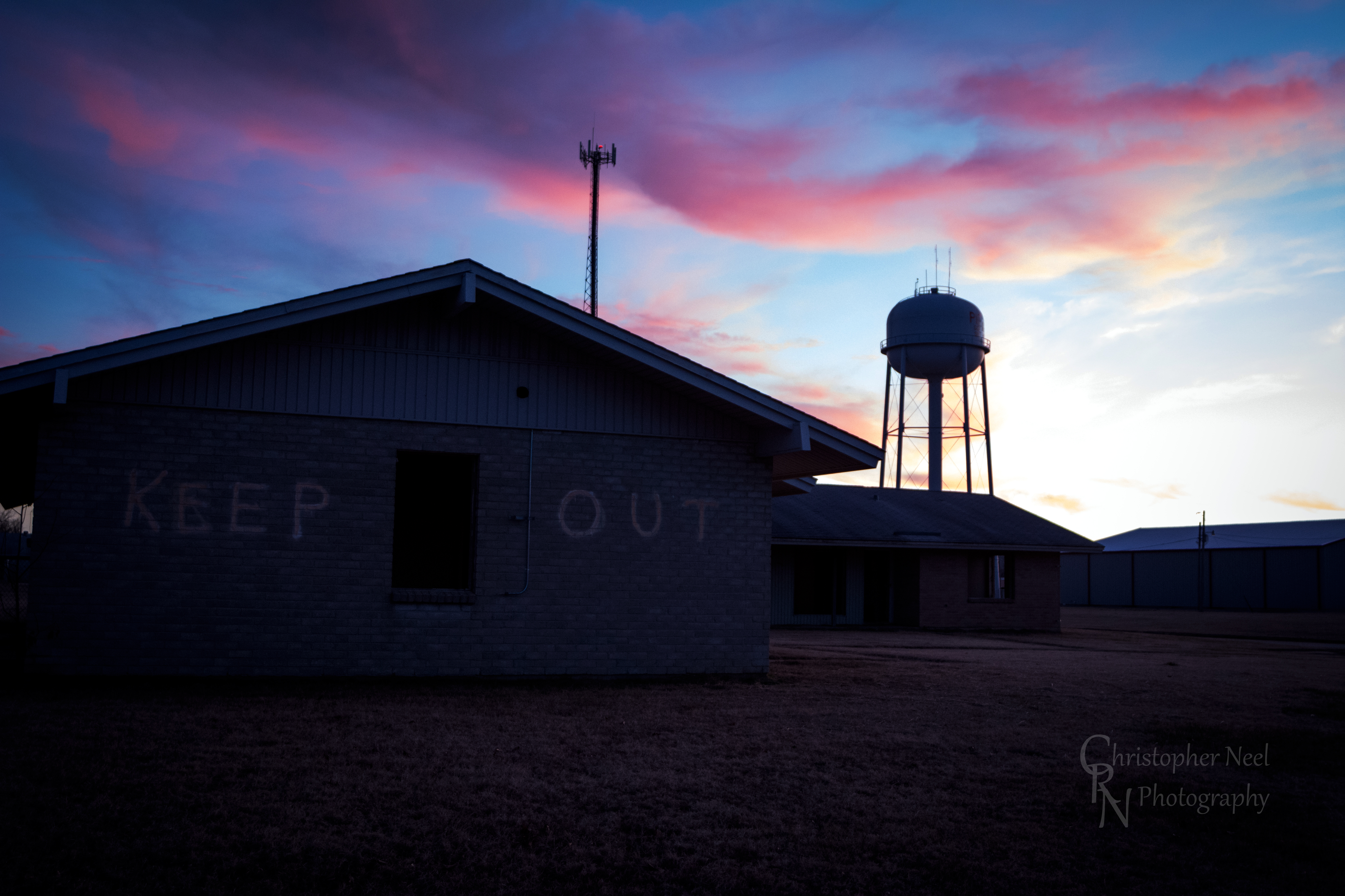
Abandoned Building Keep Out and Sunset in Picher, OK - 20150124CRN

10-06-09 Day 12 - Route 66
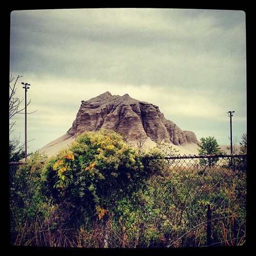
Abandoned 3-2 ballpark & chatpile in Picher, OK, site of the largest toxic waste site in US
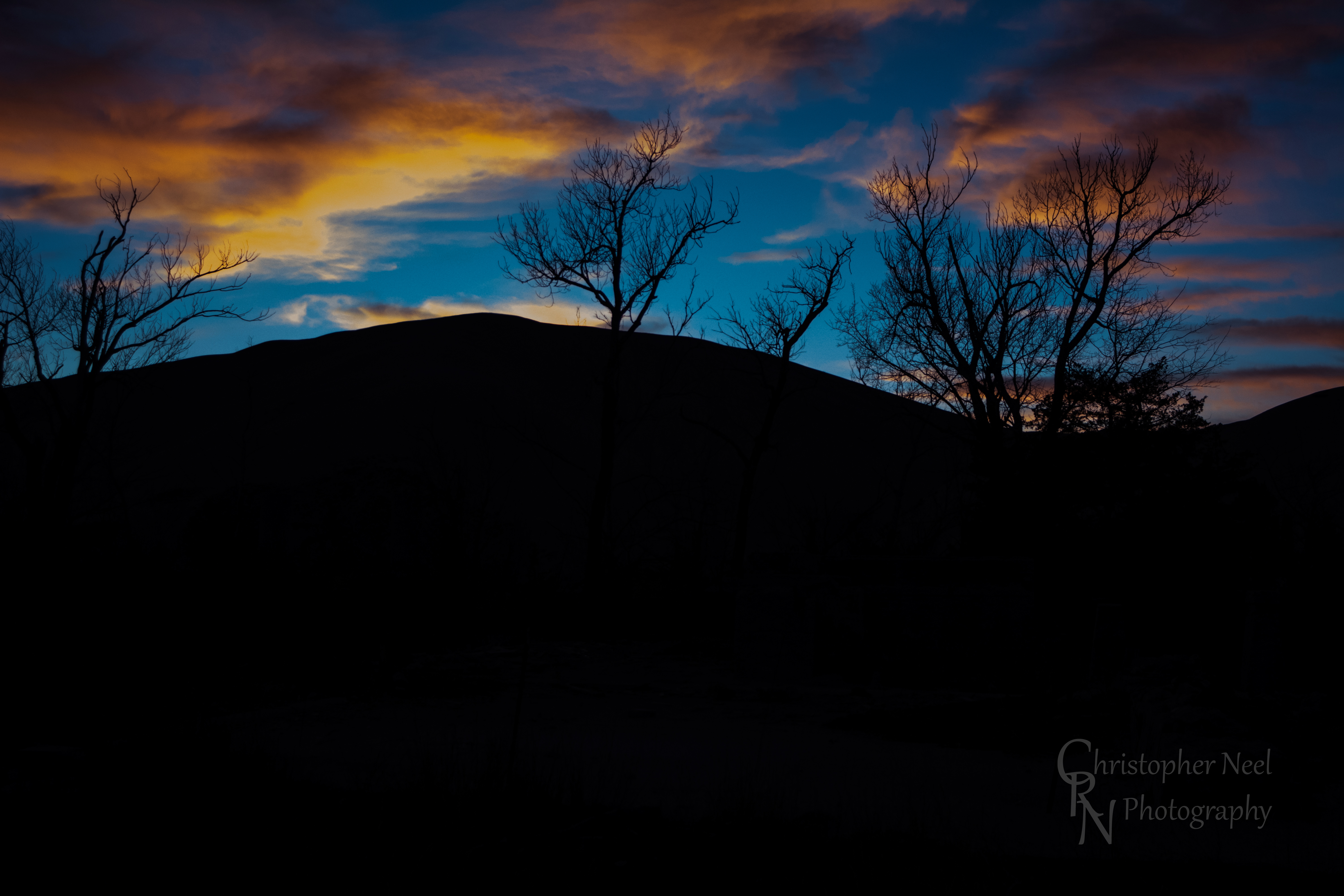
Sunset against a Silhouetted Chat Pile in Picher, OK - 20150124CRN
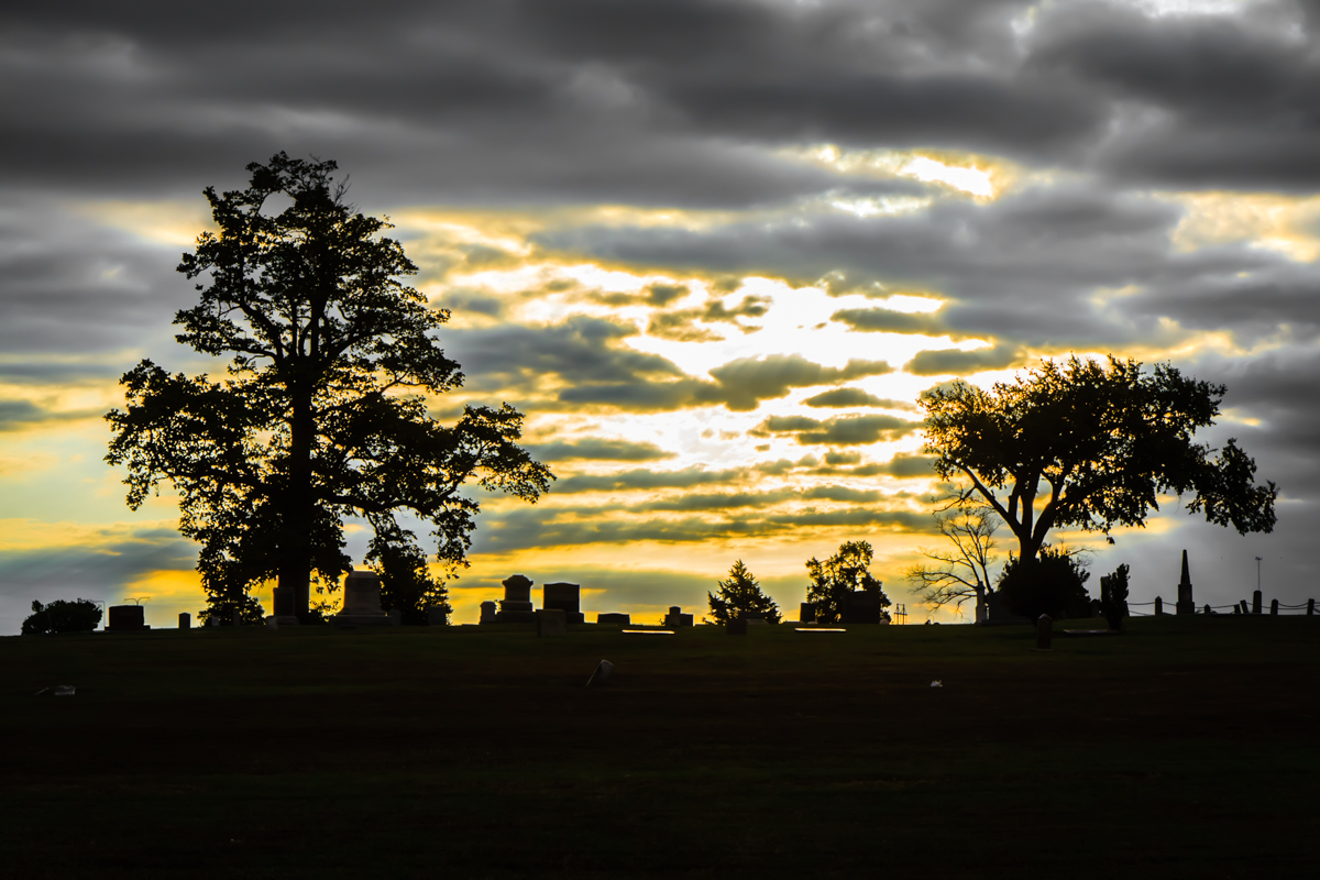
Baxter Springs Cemetery
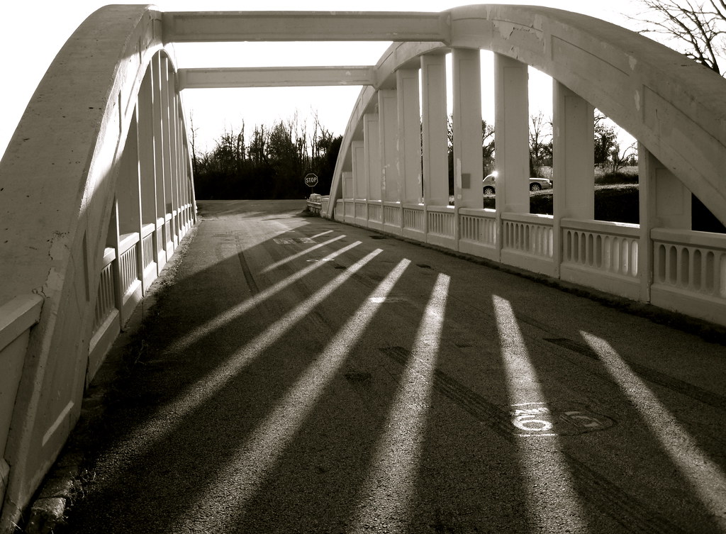
Bridge shadows
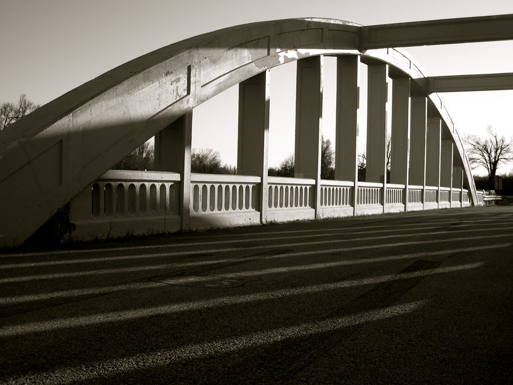
Route 66 Bridge
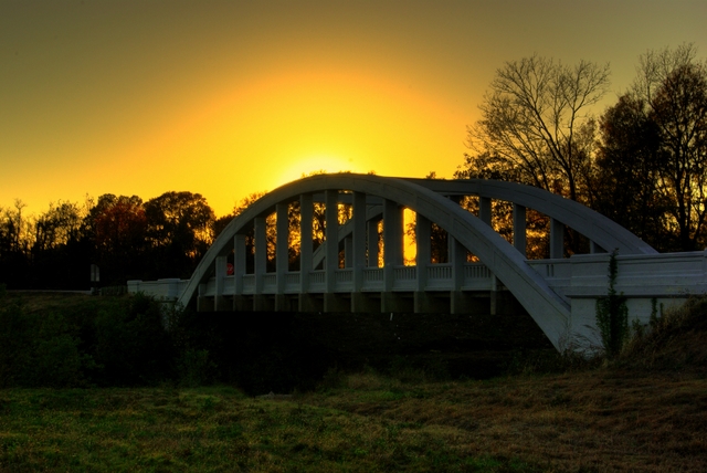
Rainbow Bridge Sunset

Rainbow Sunset

10-06-09 Day 12 - Route 66

10-06-09 Day 12 - Route 66

10-06-09 Day 12 - Route 66

10-06-09 Day 12 - Route 66
美国堪萨斯切罗基的地图
查询其他地方的日出日落时间
美国堪萨斯切罗基的其他地方
美国堪萨斯加利纳
Lola Township, KS, 美国
美国堪萨斯米纳勒尔
美国堪萨斯斯普林瓦利
美国堪萨斯普莱森特维尤
美国堪萨斯哥伦布市
美国堪萨斯韦尔
美国堪萨斯巴克斯特斯普林斯
美国堪萨斯加登
美国堪萨斯尼欧肖
美国堪萨斯谢里登
美国堪萨斯萨拉曼卡
附近地点
SE 25th St, Columbus, KS 美国
美国堪萨斯哥伦布市
Pennsylvania, Columbus, KS 美国
美国堪萨斯斯普林瓦利
SE 68th St, Riverton, KS 美国
W 12th St, Baxter Springs, KS 美国
美国堪萨斯里弗顿
美国堪萨斯巴克斯特斯普林斯
28 NE Turkey Ln, Columbus, KS 美国
美国堪萨斯萨拉曼卡
Hale Irwin Dr, Baxter Springs, KS 美国Baxter Springs Golf & Country Club
美国堪萨斯米纳勒尔
US-69, Scammon, KS 美国Fox 14
美国堪萨斯加登
Virginia St, Quapaw, OK 美国
美国俄克拉何马奎帕
W 6th St, Galena, KS 美国
美国堪萨斯加利纳
S Main St, Galena, KS 美国Mi Torito Mexican Restaurant
Commerce St, Commerce, OK 美国
最近搜索
- Kawanecho Sasamado, Shimada, Shizuoka -日本的日出日落时间表
- 6 Rue Jules Ferry, Beausoleil, 法国的日出日落时间表
- 西班牙比斯开省奥钱迪亚诺的日出日落时间表
- 4JC6+G9P, Vinayak Nagar, Kattigenahalli, Bengaluru, Karnataka 印度Sattva Horizon的日出日落时间表
- Mount Fuji, Kitayama, Fujinomiya, Shizuoka -, Japan的日出日落时间表
- Laurel Rd, Townsend, TN 美国的日出日落时间表
- 中国广东省深圳市龙岗区海滨南路GFPQ+R9Q的日出日落时间表
- Redondo Ave, Long Beach, CA 美国的日出日落时间表
- Ulitsa Kalinina, 79, Rezh, Sverdlovskaya oblast', 俄罗斯的日出日落时间表
- Leguwa 尼泊尔的日出日落时间表