アメリカ合衆国 カンザス州 チェロキー日の出日の入り時間
Location: アメリカ合衆国 > カンザス州 >
時間帯:
America/Chicago
現地時間:
2024-05-05 13:15:04
経度:
-94.8105955
緯度:
37.1142482
今日の日の出時刻:
06:18:09 AM
今日の日の入時刻:
08:13:27 PM
今日の日長:
13h 55m 18s
明日の日の出時刻:
06:17:09 AM
明日の日の入時刻:
08:14:20 PM
明日の日長:
13h 57m 11s
すべて表示する
| 日付 | 日出 | 日没 | 日長 |
|---|---|---|---|
| 2024年01月01日 | 07:32:50 AM | 05:13:16 PM | 9h 40m 26s |
| 2024年01月02日 | 07:32:57 AM | 05:14:04 PM | 9h 41m 7s |
| 2024年01月03日 | 07:33:02 AM | 05:14:53 PM | 9h 41m 51s |
| 2024年01月04日 | 07:33:06 AM | 05:15:44 PM | 9h 42m 38s |
| 2024年01月05日 | 07:33:07 AM | 05:16:36 PM | 9h 43m 29s |
| 2024年01月06日 | 07:33:06 AM | 05:17:29 PM | 9h 44m 23s |
| 2024年01月07日 | 07:33:04 AM | 05:18:24 PM | 9h 45m 20s |
| 2024年01月08日 | 07:32:59 AM | 05:19:19 PM | 9h 46m 20s |
| 2024年01月09日 | 07:32:52 AM | 05:20:15 PM | 9h 47m 23s |
| 2024年01月10日 | 07:32:43 AM | 05:21:12 PM | 9h 48m 29s |
| 2024年01月11日 | 07:32:32 AM | 05:22:10 PM | 9h 49m 38s |
| 2024年01月12日 | 07:32:19 AM | 05:23:09 PM | 9h 50m 50s |
| 2024年01月13日 | 07:32:05 AM | 05:24:08 PM | 9h 52m 3s |
| 2024年01月14日 | 07:31:48 AM | 05:25:09 PM | 9h 53m 21s |
| 2024年01月15日 | 07:31:29 AM | 05:26:10 PM | 9h 54m 41s |
| 2024年01月16日 | 07:31:08 AM | 05:27:11 PM | 9h 56m 3s |
| 2024年01月17日 | 07:30:45 AM | 05:28:13 PM | 9h 57m 28s |
| 2024年01月18日 | 07:30:20 AM | 05:29:16 PM | 9h 58m 56s |
| 2024年01月19日 | 07:29:53 AM | 05:30:19 PM | 10h 0m 26s |
| 2024年01月20日 | 07:29:25 AM | 05:31:22 PM | 10h 1m 57s |
| 2024年01月21日 | 07:28:54 AM | 05:32:26 PM | 10h 3m 32s |
| 2024年01月22日 | 07:28:22 AM | 05:33:31 PM | 10h 5m 9s |
| 2024年01月23日 | 07:27:48 AM | 05:34:35 PM | 10h 6m 47s |
| 2024年01月24日 | 07:27:11 AM | 05:35:40 PM | 10h 8m 29s |
| 2024年01月25日 | 07:26:34 AM | 05:36:45 PM | 10h 10m 11s |
| 2024年01月26日 | 07:25:54 AM | 05:37:50 PM | 10h 11m 56s |
| 2024年01月27日 | 07:25:12 AM | 05:38:55 PM | 10h 13m 43s |
| 2024年01月28日 | 07:24:29 AM | 05:40:01 PM | 10h 15m 32s |
| 2024年01月29日 | 07:23:44 AM | 05:41:06 PM | 10h 17m 22s |
| 2024年01月30日 | 07:22:58 AM | 05:42:12 PM | 10h 19m 14s |
| 2024年01月31日 | 07:22:10 AM | 05:43:17 PM | 10h 21m 7s |
| 2024年02月01日 | 07:21:20 AM | 05:44:23 PM | 10h 23m 3s |
| 2024年02月02日 | 07:20:28 AM | 05:45:28 PM | 10h 25m 0s |
| 2024年02月03日 | 07:19:35 AM | 05:46:34 PM | 10h 26m 59s |
| 2024年02月04日 | 07:18:41 AM | 05:47:39 PM | 10h 28m 58s |
| 2024年02月05日 | 07:17:45 AM | 05:48:44 PM | 10h 30m 59s |
| 2024年02月06日 | 07:16:48 AM | 05:49:50 PM | 10h 33m 2s |
| 2024年02月07日 | 07:15:49 AM | 05:50:54 PM | 10h 35m 5s |
| 2024年02月08日 | 07:14:48 AM | 05:51:59 PM | 10h 37m 11s |
| 2024年02月09日 | 07:13:47 AM | 05:53:04 PM | 10h 39m 17s |
| 2024年02月10日 | 07:12:44 AM | 05:54:08 PM | 10h 41m 24s |
| 2024年02月11日 | 07:11:40 AM | 05:55:12 PM | 10h 43m 32s |
| 2024年02月12日 | 07:10:34 AM | 05:56:16 PM | 10h 45m 42s |
| 2024年02月13日 | 07:09:27 AM | 05:57:19 PM | 10h 47m 52s |
| 2024年02月14日 | 07:08:19 AM | 05:58:23 PM | 10h 50m 4s |
| 2024年02月15日 | 07:07:10 AM | 05:59:26 PM | 10h 52m 16s |
| 2024年02月16日 | 07:06:00 AM | 06:00:28 PM | 10h 54m 28s |
| 2024年02月17日 | 07:04:49 AM | 06:01:31 PM | 10h 56m 42s |
| 2024年02月18日 | 07:03:36 AM | 06:02:33 PM | 10h 58m 57s |
| 2024年02月19日 | 07:02:23 AM | 06:03:35 PM | 11h 1m 12s |
| 2024年02月20日 | 07:01:08 AM | 06:04:36 PM | 11h 3m 28s |
| 2024年02月21日 | 06:59:53 AM | 06:05:37 PM | 11h 5m 44s |
| 2024年02月22日 | 06:58:37 AM | 06:06:38 PM | 11h 8m 1s |
| 2024年02月23日 | 06:57:19 AM | 06:07:38 PM | 11h 10m 19s |
| 2024年02月24日 | 06:56:01 AM | 06:08:39 PM | 11h 12m 38s |
| 2024年02月25日 | 06:54:42 AM | 06:09:38 PM | 11h 14m 56s |
| 2024年02月26日 | 06:53:23 AM | 06:10:38 PM | 11h 17m 15s |
| 2024年02月27日 | 06:52:02 AM | 06:11:37 PM | 11h 19m 35s |
| 2024年02月28日 | 06:50:41 AM | 06:12:36 PM | 11h 21m 55s |
| 2024年02月29日 | 06:49:19 AM | 06:13:35 PM | 11h 24m 16s |
| 2024年03月01日 | 06:47:56 AM | 06:14:33 PM | 11h 26m 37s |
| 2024年03月02日 | 06:46:33 AM | 06:15:31 PM | 11h 28m 58s |
| 2024年03月03日 | 06:45:09 AM | 06:16:28 PM | 11h 31m 19s |
| 2024年03月04日 | 06:43:44 AM | 06:17:26 PM | 11h 33m 42s |
| 2024年03月05日 | 06:42:19 AM | 06:18:23 PM | 11h 36m 4s |
| 2024年03月06日 | 06:40:54 AM | 06:19:20 PM | 11h 38m 26s |
| 2024年03月07日 | 06:39:28 AM | 06:20:16 PM | 11h 40m 48s |
| 2024年03月08日 | 06:38:01 AM | 06:21:12 PM | 11h 43m 11s |
| 2024年03月09日 | 06:36:34 AM | 06:22:08 PM | 11h 45m 34s |
| 2024年03月10日 | 07:35:11 AM | 07:23:02 PM | 11h 47m 51s |
| 2024年03月11日 | 07:33:43 AM | 07:23:57 PM | 11h 50m 14s |
| 2024年03月12日 | 07:32:15 AM | 07:24:53 PM | 11h 52m 38s |
| 2024年03月13日 | 07:30:47 AM | 07:25:48 PM | 11h 55m 1s |
| 2024年03月14日 | 07:29:18 AM | 07:26:43 PM | 11h 57m 25s |
| 2024年03月15日 | 07:27:49 AM | 07:27:38 PM | 11h 59m 49s |
| 2024年03月16日 | 07:26:20 AM | 07:28:32 PM | 12h 2m 12s |
| 2024年03月17日 | 07:24:51 AM | 07:29:26 PM | 12h 4m 35s |
| 2024年03月18日 | 07:23:22 AM | 07:30:21 PM | 12h 6m 59s |
| 2024年03月19日 | 07:21:52 AM | 07:31:15 PM | 12h 9m 23s |
| 2024年03月20日 | 07:20:23 AM | 07:32:09 PM | 12h 11m 46s |
| 2024年03月21日 | 07:18:53 AM | 07:33:02 PM | 12h 14m 9s |
| 2024年03月22日 | 07:17:23 AM | 07:33:56 PM | 12h 16m 33s |
| 2024年03月23日 | 07:15:54 AM | 07:34:50 PM | 12h 18m 56s |
| 2024年03月24日 | 07:14:24 AM | 07:35:43 PM | 12h 21m 19s |
| 2024年03月25日 | 07:12:54 AM | 07:36:36 PM | 12h 23m 42s |
| 2024年03月26日 | 07:11:25 AM | 07:37:30 PM | 12h 26m 5s |
| 2024年03月27日 | 07:09:55 AM | 07:38:23 PM | 12h 28m 28s |
| 2024年03月28日 | 07:08:26 AM | 07:39:16 PM | 12h 30m 50s |
| 2024年03月29日 | 07:06:57 AM | 07:40:09 PM | 12h 33m 12s |
| 2024年03月30日 | 07:05:28 AM | 07:41:02 PM | 12h 35m 34s |
| 2024年03月31日 | 07:04:00 AM | 07:41:55 PM | 12h 37m 55s |
| 2024年04月01日 | 07:02:31 AM | 07:42:48 PM | 12h 40m 17s |
| 2024年04月02日 | 07:01:03 AM | 07:43:41 PM | 12h 42m 38s |
| 2024年04月03日 | 06:59:35 AM | 07:44:34 PM | 12h 44m 59s |
| 2024年04月04日 | 06:58:08 AM | 07:45:27 PM | 12h 47m 19s |
| 2024年04月05日 | 06:56:41 AM | 07:46:20 PM | 12h 49m 39s |
| 2024年04月06日 | 06:55:14 AM | 07:47:13 PM | 12h 51m 59s |
| 2024年04月07日 | 06:53:48 AM | 07:48:06 PM | 12h 54m 18s |
| 2024年04月08日 | 06:52:23 AM | 07:49:00 PM | 12h 56m 37s |
| 2024年04月09日 | 06:50:58 AM | 07:49:53 PM | 12h 58m 55s |
| 2024年04月10日 | 06:49:33 AM | 07:50:46 PM | 13h 1m 13s |
| 2024年04月11日 | 06:48:09 AM | 07:51:39 PM | 13h 3m 30s |
| 2024年04月12日 | 06:46:45 AM | 07:52:32 PM | 13h 5m 47s |
| 2024年04月13日 | 06:45:22 AM | 07:53:26 PM | 13h 8m 4s |
| 2024年04月14日 | 06:44:00 AM | 07:54:19 PM | 13h 10m 19s |
| 2024年04月15日 | 06:42:39 AM | 07:55:12 PM | 13h 12m 33s |
| 2024年04月16日 | 06:41:18 AM | 07:56:06 PM | 13h 14m 48s |
| 2024年04月17日 | 06:39:58 AM | 07:56:59 PM | 13h 17m 1s |
| 2024年04月18日 | 06:38:39 AM | 07:57:53 PM | 13h 19m 14s |
| 2024年04月19日 | 06:37:20 AM | 07:58:46 PM | 13h 21m 26s |
| 2024年04月20日 | 06:36:02 AM | 07:59:40 PM | 13h 23m 38s |
| 2024年04月21日 | 06:34:46 AM | 08:00:34 PM | 13h 25m 48s |
| 2024年04月22日 | 06:33:30 AM | 08:01:27 PM | 13h 27m 57s |
| 2024年04月23日 | 06:32:15 AM | 08:02:21 PM | 13h 30m 6s |
| 2024年04月24日 | 06:31:01 AM | 08:03:15 PM | 13h 32m 14s |
| 2024年04月25日 | 06:29:47 AM | 08:04:08 PM | 13h 34m 21s |
| 2024年04月26日 | 06:28:35 AM | 08:05:02 PM | 13h 36m 27s |
| 2024年04月27日 | 06:27:24 AM | 08:05:56 PM | 13h 38m 32s |
| 2024年04月28日 | 06:26:14 AM | 08:06:49 PM | 13h 40m 35s |
| 2024年04月29日 | 06:25:05 AM | 08:07:43 PM | 13h 42m 38s |
| 2024年04月30日 | 06:23:58 AM | 08:08:36 PM | 13h 44m 38s |
| 2024年05月01日 | 06:22:51 AM | 08:09:30 PM | 13h 46m 39s |
| 2024年05月02日 | 06:21:46 AM | 08:10:23 PM | 13h 48m 37s |
| 2024年05月03日 | 06:20:41 AM | 08:11:17 PM | 13h 50m 36s |
| 2024年05月04日 | 06:19:38 AM | 08:12:10 PM | 13h 52m 32s |
| 2024年05月05日 | 06:18:37 AM | 08:13:03 PM | 13h 54m 26s |
| 2024年05月06日 | 06:17:36 AM | 08:13:56 PM | 13h 56m 20s |
| 2024年05月07日 | 06:16:37 AM | 08:14:48 PM | 13h 58m 11s |
| 2024年05月08日 | 06:15:39 AM | 08:15:41 PM | 14h 0m 2s |
| 2024年05月09日 | 06:14:43 AM | 08:16:33 PM | 14h 1m 50s |
| 2024年05月10日 | 06:13:48 AM | 08:17:25 PM | 14h 3m 37s |
| 2024年05月11日 | 06:12:54 AM | 08:18:17 PM | 14h 5m 23s |
| 2024年05月12日 | 06:12:02 AM | 08:19:08 PM | 14h 7m 6s |
| 2024年05月13日 | 06:11:11 AM | 08:20:00 PM | 14h 8m 49s |
| 2024年05月14日 | 06:10:22 AM | 08:20:50 PM | 14h 10m 28s |
| 2024年05月15日 | 06:09:35 AM | 08:21:41 PM | 14h 12m 6s |
| 2024年05月16日 | 06:08:49 AM | 08:22:31 PM | 14h 13m 42s |
| 2024年05月17日 | 06:08:04 AM | 08:23:20 PM | 14h 15m 16s |
| 2024年05月18日 | 06:07:21 AM | 08:24:09 PM | 14h 16m 48s |
| 2024年05月19日 | 06:06:40 AM | 08:24:58 PM | 14h 18m 18s |
| 2024年05月20日 | 06:06:00 AM | 08:25:46 PM | 14h 19m 46s |
| 2024年05月21日 | 06:05:22 AM | 08:26:33 PM | 14h 21m 11s |
| 2024年05月22日 | 06:04:45 AM | 08:27:20 PM | 14h 22m 35s |
| 2024年05月23日 | 06:04:10 AM | 08:28:06 PM | 14h 23m 56s |
| 2024年05月24日 | 06:03:37 AM | 08:28:51 PM | 14h 25m 14s |
| 2024年05月25日 | 06:03:06 AM | 08:29:36 PM | 14h 26m 30s |
| 2024年05月26日 | 06:02:36 AM | 08:30:20 PM | 14h 27m 44s |
| 2024年05月27日 | 06:02:08 AM | 08:31:03 PM | 14h 28m 55s |
| 2024年05月28日 | 06:01:42 AM | 08:31:45 PM | 14h 30m 3s |
| 2024年05月29日 | 06:01:17 AM | 08:32:27 PM | 14h 31m 10s |
| 2024年05月30日 | 06:00:55 AM | 08:33:07 PM | 14h 32m 12s |
| 2024年05月31日 | 06:00:34 AM | 08:33:47 PM | 14h 33m 13s |
| 2024年06月01日 | 06:00:14 AM | 08:34:25 PM | 14h 34m 11s |
| 2024年06月02日 | 05:59:57 AM | 08:35:03 PM | 14h 35m 6s |
| 2024年06月03日 | 05:59:41 AM | 08:35:39 PM | 14h 35m 58s |
| 2024年06月04日 | 05:59:27 AM | 08:36:14 PM | 14h 36m 47s |
| 2024年06月05日 | 05:59:15 AM | 08:36:48 PM | 14h 37m 33s |
| 2024年06月06日 | 05:59:05 AM | 08:37:21 PM | 14h 38m 16s |
| 2024年06月07日 | 05:58:56 AM | 08:37:53 PM | 14h 38m 57s |
| 2024年06月08日 | 05:58:49 AM | 08:38:24 PM | 14h 39m 35s |
| 2024年06月09日 | 05:58:44 AM | 08:38:53 PM | 14h 40m 9s |
| 2024年06月10日 | 05:58:40 AM | 08:39:21 PM | 14h 40m 41s |
| 2024年06月11日 | 05:58:39 AM | 08:39:47 PM | 14h 41m 8s |
| 2024年06月12日 | 05:58:39 AM | 08:40:12 PM | 14h 41m 33s |
| 2024年06月13日 | 05:58:41 AM | 08:40:36 PM | 14h 41m 55s |
| 2024年06月14日 | 05:58:44 AM | 08:40:58 PM | 14h 42m 14s |
| 2024年06月15日 | 05:58:49 AM | 08:41:19 PM | 14h 42m 30s |
| 2024年06月16日 | 05:58:56 AM | 08:41:38 PM | 14h 42m 42s |
| 2024年06月17日 | 05:59:04 AM | 08:41:56 PM | 14h 42m 52s |
| 2024年06月18日 | 05:59:14 AM | 08:42:12 PM | 14h 42m 58s |
| 2024年06月19日 | 05:59:26 AM | 08:42:27 PM | 14h 43m 1s |
| 2024年06月20日 | 05:59:39 AM | 08:42:39 PM | 14h 43m 0s |
| 2024年06月21日 | 05:59:54 AM | 08:42:51 PM | 14h 42m 57s |
| 2024年06月22日 | 06:00:11 AM | 08:43:00 PM | 14h 42m 49s |
| 2024年06月23日 | 06:00:28 AM | 08:43:08 PM | 14h 42m 40s |
| 2024年06月24日 | 06:00:48 AM | 08:43:14 PM | 14h 42m 26s |
| 2024年06月25日 | 06:01:08 AM | 08:43:19 PM | 14h 42m 11s |
| 2024年06月26日 | 06:01:31 AM | 08:43:21 PM | 14h 41m 50s |
| 2024年06月27日 | 06:01:54 AM | 08:43:22 PM | 14h 41m 28s |
| 2024年06月28日 | 06:02:19 AM | 08:43:22 PM | 14h 41m 3s |
| 2024年06月29日 | 06:02:45 AM | 08:43:19 PM | 14h 40m 34s |
| 2024年06月30日 | 06:03:13 AM | 08:43:15 PM | 14h 40m 2s |
| 2024年07月01日 | 06:03:41 AM | 08:43:08 PM | 14h 39m 27s |
| 2024年07月02日 | 06:04:11 AM | 08:43:00 PM | 14h 38m 49s |
| 2024年07月03日 | 06:04:42 AM | 08:42:51 PM | 14h 38m 9s |
| 2024年07月04日 | 06:05:15 AM | 08:42:39 PM | 14h 37m 24s |
| 2024年07月05日 | 06:05:48 AM | 08:42:26 PM | 14h 36m 38s |
| 2024年07月06日 | 06:06:22 AM | 08:42:10 PM | 14h 35m 48s |
| 2024年07月07日 | 06:06:58 AM | 08:41:53 PM | 14h 34m 55s |
| 2024年07月08日 | 06:07:34 AM | 08:41:35 PM | 14h 34m 1s |
| 2024年07月09日 | 06:08:12 AM | 08:41:14 PM | 14h 33m 2s |
| 2024年07月10日 | 06:08:50 AM | 08:40:52 PM | 14h 32m 2s |
| 2024年07月11日 | 06:09:29 AM | 08:40:27 PM | 14h 30m 58s |
| 2024年07月12日 | 06:10:09 AM | 08:40:01 PM | 14h 29m 52s |
| 2024年07月13日 | 06:10:50 AM | 08:39:34 PM | 14h 28m 44s |
| 2024年07月14日 | 06:11:31 AM | 08:39:04 PM | 14h 27m 33s |
| 2024年07月15日 | 06:12:13 AM | 08:38:33 PM | 14h 26m 20s |
| 2024年07月16日 | 06:12:56 AM | 08:38:00 PM | 14h 25m 4s |
| 2024年07月17日 | 06:13:40 AM | 08:37:25 PM | 14h 23m 45s |
| 2024年07月18日 | 06:14:24 AM | 08:36:49 PM | 14h 22m 25s |
| 2024年07月19日 | 06:15:09 AM | 08:36:10 PM | 14h 21m 1s |
| 2024年07月20日 | 06:15:54 AM | 08:35:31 PM | 14h 19m 37s |
| 2024年07月21日 | 06:16:40 AM | 08:34:49 PM | 14h 18m 9s |
| 2024年07月22日 | 06:17:26 AM | 08:34:06 PM | 14h 16m 40s |
| 2024年07月23日 | 06:18:13 AM | 08:33:21 PM | 14h 15m 8s |
| 2024年07月24日 | 06:19:00 AM | 08:32:35 PM | 14h 13m 35s |
| 2024年07月25日 | 06:19:48 AM | 08:31:47 PM | 14h 11m 59s |
| 2024年07月26日 | 06:20:36 AM | 08:30:58 PM | 14h 10m 22s |
| 2024年07月27日 | 06:21:24 AM | 08:30:07 PM | 14h 8m 43s |
| 2024年07月28日 | 06:22:12 AM | 08:29:14 PM | 14h 7m 2s |
| 2024年07月29日 | 06:23:01 AM | 08:28:20 PM | 14h 5m 19s |
| 2024年07月30日 | 06:23:50 AM | 08:27:25 PM | 14h 3m 35s |
| 2024年07月31日 | 06:24:39 AM | 08:26:28 PM | 14h 1m 49s |
| 2024年08月01日 | 06:25:29 AM | 08:25:30 PM | 14h 0m 1s |
| 2024年08月02日 | 06:26:18 AM | 08:24:30 PM | 13h 58m 12s |
| 2024年08月03日 | 06:27:08 AM | 08:23:29 PM | 13h 56m 21s |
| 2024年08月04日 | 06:27:58 AM | 08:22:27 PM | 13h 54m 29s |
| 2024年08月05日 | 06:28:48 AM | 08:21:24 PM | 13h 52m 36s |
| 2024年08月06日 | 06:29:38 AM | 08:20:19 PM | 13h 50m 41s |
| 2024年08月07日 | 06:30:28 AM | 08:19:13 PM | 13h 48m 45s |
| 2024年08月08日 | 06:31:18 AM | 08:18:05 PM | 13h 46m 47s |
| 2024年08月09日 | 06:32:08 AM | 08:16:57 PM | 13h 44m 49s |
| 2024年08月10日 | 06:32:58 AM | 08:15:47 PM | 13h 42m 49s |
| 2024年08月11日 | 06:33:48 AM | 08:14:37 PM | 13h 40m 49s |
| 2024年08月12日 | 06:34:39 AM | 08:13:25 PM | 13h 38m 46s |
| 2024年08月13日 | 06:35:29 AM | 08:12:12 PM | 13h 36m 43s |
| 2024年08月14日 | 06:36:19 AM | 08:10:58 PM | 13h 34m 39s |
| 2024年08月15日 | 06:37:09 AM | 08:09:43 PM | 13h 32m 34s |
| 2024年08月16日 | 06:37:59 AM | 08:08:27 PM | 13h 30m 28s |
| 2024年08月17日 | 06:38:49 AM | 08:07:10 PM | 13h 28m 21s |
| 2024年08月18日 | 06:39:39 AM | 08:05:52 PM | 13h 26m 13s |
| 2024年08月19日 | 06:40:29 AM | 08:04:33 PM | 13h 24m 4s |
| 2024年08月20日 | 06:41:19 AM | 08:03:14 PM | 13h 21m 55s |
| 2024年08月21日 | 06:42:08 AM | 08:01:53 PM | 13h 19m 45s |
| 2024年08月22日 | 06:42:58 AM | 08:00:32 PM | 13h 17m 34s |
| 2024年08月23日 | 06:43:47 AM | 07:59:10 PM | 13h 15m 23s |
| 2024年08月24日 | 06:44:37 AM | 07:57:47 PM | 13h 13m 10s |
| 2024年08月25日 | 06:45:26 AM | 07:56:24 PM | 13h 10m 58s |
| 2024年08月26日 | 06:46:16 AM | 07:55:00 PM | 13h 8m 44s |
| 2024年08月27日 | 06:47:05 AM | 07:53:35 PM | 13h 6m 30s |
| 2024年08月28日 | 06:47:54 AM | 07:52:10 PM | 13h 4m 16s |
| 2024年08月29日 | 06:48:43 AM | 07:50:43 PM | 13h 2m 0s |
| 2024年08月30日 | 06:49:32 AM | 07:49:17 PM | 12h 59m 45s |
| 2024年08月31日 | 06:50:21 AM | 07:47:50 PM | 12h 57m 29s |
| 2024年09月01日 | 06:51:10 AM | 07:46:22 PM | 12h 55m 12s |
| 2024年09月02日 | 06:51:59 AM | 07:44:54 PM | 12h 52m 55s |
| 2024年09月03日 | 06:52:48 AM | 07:43:25 PM | 12h 50m 37s |
| 2024年09月04日 | 06:53:37 AM | 07:41:56 PM | 12h 48m 19s |
| 2024年09月05日 | 06:54:25 AM | 07:40:27 PM | 12h 46m 2s |
| 2024年09月06日 | 06:55:14 AM | 07:38:57 PM | 12h 43m 43s |
| 2024年09月07日 | 06:56:03 AM | 07:37:27 PM | 12h 41m 24s |
| 2024年09月08日 | 06:56:51 AM | 07:35:56 PM | 12h 39m 5s |
| 2024年09月09日 | 06:57:40 AM | 07:34:26 PM | 12h 36m 46s |
| 2024年09月10日 | 06:58:29 AM | 07:32:55 PM | 12h 34m 26s |
| 2024年09月11日 | 06:59:18 AM | 07:31:24 PM | 12h 32m 6s |
| 2024年09月12日 | 07:00:06 AM | 07:29:52 PM | 12h 29m 46s |
| 2024年09月13日 | 07:00:55 AM | 07:28:21 PM | 12h 27m 26s |
| 2024年09月14日 | 07:01:44 AM | 07:26:49 PM | 12h 25m 5s |
| 2024年09月15日 | 07:02:33 AM | 07:25:17 PM | 12h 22m 44s |
| 2024年09月16日 | 07:03:22 AM | 07:23:45 PM | 12h 20m 23s |
| 2024年09月17日 | 07:04:11 AM | 07:22:13 PM | 12h 18m 2s |
| 2024年09月18日 | 07:05:00 AM | 07:20:42 PM | 12h 15m 42s |
| 2024年09月19日 | 07:05:49 AM | 07:19:10 PM | 12h 13m 21s |
| 2024年09月20日 | 07:06:39 AM | 07:17:38 PM | 12h 10m 59s |
| 2024年09月21日 | 07:07:28 AM | 07:16:06 PM | 12h 8m 38s |
| 2024年09月22日 | 07:08:18 AM | 07:14:34 PM | 12h 6m 16s |
| 2024年09月23日 | 07:09:07 AM | 07:13:03 PM | 12h 3m 56s |
| 2024年09月24日 | 07:09:57 AM | 07:11:31 PM | 12h 1m 34s |
| 2024年09月25日 | 07:10:47 AM | 07:10:00 PM | 11h 59m 13s |
| 2024年09月26日 | 07:11:38 AM | 07:08:29 PM | 11h 56m 51s |
| 2024年09月27日 | 07:12:28 AM | 07:06:58 PM | 11h 54m 30s |
| 2024年09月28日 | 07:13:19 AM | 07:05:28 PM | 11h 52m 9s |
| 2024年09月29日 | 07:14:10 AM | 07:03:57 PM | 11h 49m 47s |
| 2024年09月30日 | 07:15:01 AM | 07:02:28 PM | 11h 47m 27s |
| 2024年10月01日 | 07:15:53 AM | 07:00:58 PM | 11h 45m 5s |
| 2024年10月02日 | 07:16:44 AM | 06:59:29 PM | 11h 42m 45s |
| 2024年10月03日 | 07:17:36 AM | 06:58:00 PM | 11h 40m 24s |
| 2024年10月04日 | 07:18:28 AM | 06:56:32 PM | 11h 38m 4s |
| 2024年10月05日 | 07:19:21 AM | 06:55:04 PM | 11h 35m 43s |
| 2024年10月06日 | 07:20:14 AM | 06:53:37 PM | 11h 33m 23s |
| 2024年10月07日 | 07:21:07 AM | 06:52:10 PM | 11h 31m 3s |
| 2024年10月08日 | 07:22:00 AM | 06:50:44 PM | 11h 28m 44s |
| 2024年10月09日 | 07:22:54 AM | 06:49:19 PM | 11h 26m 25s |
| 2024年10月10日 | 07:23:48 AM | 06:47:54 PM | 11h 24m 6s |
| 2024年10月11日 | 07:24:42 AM | 06:46:30 PM | 11h 21m 48s |
| 2024年10月12日 | 07:25:37 AM | 06:45:06 PM | 11h 19m 29s |
| 2024年10月13日 | 07:26:32 AM | 06:43:44 PM | 11h 17m 12s |
| 2024年10月14日 | 07:27:27 AM | 06:42:22 PM | 11h 14m 55s |
| 2024年10月15日 | 07:28:23 AM | 06:41:00 PM | 11h 12m 37s |
| 2024年10月16日 | 07:29:19 AM | 06:39:40 PM | 11h 10m 21s |
| 2024年10月17日 | 07:30:15 AM | 06:38:21 PM | 11h 8m 6s |
| 2024年10月18日 | 07:31:12 AM | 06:37:02 PM | 11h 5m 50s |
| 2024年10月19日 | 07:32:09 AM | 06:35:44 PM | 11h 3m 35s |
| 2024年10月20日 | 07:33:06 AM | 06:34:28 PM | 11h 1m 22s |
| 2024年10月21日 | 07:34:04 AM | 06:33:12 PM | 10h 59m 8s |
| 2024年10月22日 | 07:35:02 AM | 06:31:57 PM | 10h 56m 55s |
| 2024年10月23日 | 07:36:01 AM | 06:30:44 PM | 10h 54m 43s |
| 2024年10月24日 | 07:36:59 AM | 06:29:31 PM | 10h 52m 32s |
| 2024年10月25日 | 07:37:59 AM | 06:28:20 PM | 10h 50m 21s |
| 2024年10月26日 | 07:38:58 AM | 06:27:10 PM | 10h 48m 12s |
| 2024年10月27日 | 07:39:58 AM | 06:26:01 PM | 10h 46m 3s |
| 2024年10月28日 | 07:40:58 AM | 06:24:53 PM | 10h 43m 55s |
| 2024年10月29日 | 07:41:58 AM | 06:23:46 PM | 10h 41m 48s |
| 2024年10月30日 | 07:42:59 AM | 06:22:41 PM | 10h 39m 42s |
| 2024年10月31日 | 07:44:00 AM | 06:21:37 PM | 10h 37m 37s |
| 2024年11月01日 | 07:45:01 AM | 06:20:34 PM | 10h 35m 33s |
| 2024年11月02日 | 07:46:02 AM | 06:19:33 PM | 10h 33m 31s |
| 2024年11月03日 | 06:47:06 AM | 05:18:31 PM | 10h 31m 25s |
| 2024年11月04日 | 06:48:08 AM | 05:17:33 PM | 10h 29m 25s |
| 2024年11月05日 | 06:49:10 AM | 05:16:36 PM | 10h 27m 26s |
| 2024年11月06日 | 06:50:12 AM | 05:15:41 PM | 10h 25m 29s |
| 2024年11月07日 | 06:51:15 AM | 05:14:47 PM | 10h 23m 32s |
| 2024年11月08日 | 06:52:17 AM | 05:13:55 PM | 10h 21m 38s |
| 2024年11月09日 | 06:53:20 AM | 05:13:04 PM | 10h 19m 44s |
| 2024年11月10日 | 06:54:22 AM | 05:12:15 PM | 10h 17m 53s |
| 2024年11月11日 | 06:55:25 AM | 05:11:28 PM | 10h 16m 3s |
| 2024年11月12日 | 06:56:27 AM | 05:10:43 PM | 10h 14m 16s |
| 2024年11月13日 | 06:57:30 AM | 05:09:59 PM | 10h 12m 29s |
| 2024年11月14日 | 06:58:32 AM | 05:09:17 PM | 10h 10m 45s |
| 2024年11月15日 | 06:59:35 AM | 05:08:36 PM | 10h 9m 1s |
| 2024年11月16日 | 07:00:37 AM | 05:07:58 PM | 10h 7m 21s |
| 2024年11月17日 | 07:01:39 AM | 05:07:21 PM | 10h 5m 42s |
| 2024年11月18日 | 07:02:41 AM | 05:06:47 PM | 10h 4m 6s |
| 2024年11月19日 | 07:03:43 AM | 05:06:14 PM | 10h 2m 31s |
| 2024年11月20日 | 07:04:44 AM | 05:05:43 PM | 10h 0m 59s |
| 2024年11月21日 | 07:05:45 AM | 05:05:14 PM | 9h 59m 29s |
| 2024年11月22日 | 07:06:45 AM | 05:04:47 PM | 9h 58m 2s |
| 2024年11月23日 | 07:07:46 AM | 05:04:22 PM | 9h 56m 36s |
| 2024年11月24日 | 07:08:45 AM | 05:03:58 PM | 9h 55m 13s |
| 2024年11月25日 | 07:09:45 AM | 05:03:37 PM | 9h 53m 52s |
| 2024年11月26日 | 07:10:43 AM | 05:03:18 PM | 9h 52m 35s |
| 2024年11月27日 | 07:11:41 AM | 05:03:01 PM | 9h 51m 20s |
| 2024年11月28日 | 07:12:39 AM | 05:02:46 PM | 9h 50m 7s |
| 2024年11月29日 | 07:13:35 AM | 05:02:33 PM | 9h 48m 58s |
| 2024年11月30日 | 07:14:31 AM | 05:02:22 PM | 9h 47m 51s |
| 2024年12月01日 | 07:15:26 AM | 05:02:13 PM | 9h 46m 47s |
| 2024年12月02日 | 07:16:20 AM | 05:02:07 PM | 9h 45m 47s |
| 2024年12月03日 | 07:17:14 AM | 05:02:02 PM | 9h 44m 48s |
| 2024年12月04日 | 07:18:06 AM | 05:01:59 PM | 9h 43m 53s |
| 2024年12月05日 | 07:18:57 AM | 05:01:59 PM | 9h 43m 2s |
| 2024年12月06日 | 07:19:48 AM | 05:02:00 PM | 9h 42m 12s |
| 2024年12月07日 | 07:20:37 AM | 05:02:04 PM | 9h 41m 27s |
| 2024年12月08日 | 07:21:25 AM | 05:02:09 PM | 9h 40m 44s |
| 2024年12月09日 | 07:22:12 AM | 05:02:17 PM | 9h 40m 5s |
| 2024年12月10日 | 07:22:57 AM | 05:02:27 PM | 9h 39m 30s |
| 2024年12月11日 | 07:23:41 AM | 05:02:39 PM | 9h 38m 58s |
| 2024年12月12日 | 07:24:24 AM | 05:02:53 PM | 9h 38m 29s |
| 2024年12月13日 | 07:25:06 AM | 05:03:08 PM | 9h 38m 2s |
| 2024年12月14日 | 07:25:46 AM | 05:03:26 PM | 9h 37m 40s |
| 2024年12月15日 | 07:26:24 AM | 05:03:46 PM | 9h 37m 22s |
| 2024年12月16日 | 07:27:01 AM | 05:04:08 PM | 9h 37m 7s |
| 2024年12月17日 | 07:27:37 AM | 05:04:31 PM | 9h 36m 54s |
| 2024年12月18日 | 07:28:11 AM | 05:04:57 PM | 9h 36m 46s |
| 2024年12月19日 | 07:28:43 AM | 05:05:24 PM | 9h 36m 41s |
| 2024年12月20日 | 07:29:13 AM | 05:05:53 PM | 9h 36m 40s |
| 2024年12月21日 | 07:29:42 AM | 05:06:24 PM | 9h 36m 42s |
| 2024年12月22日 | 07:30:09 AM | 05:06:57 PM | 9h 36m 48s |
| 2024年12月23日 | 07:30:34 AM | 05:07:31 PM | 9h 36m 57s |
| 2024年12月24日 | 07:30:57 AM | 05:08:07 PM | 9h 37m 10s |
| 2024年12月25日 | 07:31:19 AM | 05:08:45 PM | 9h 37m 26s |
| 2024年12月26日 | 07:31:38 AM | 05:09:25 PM | 9h 37m 47s |
| 2024年12月27日 | 07:31:56 AM | 05:10:05 PM | 9h 38m 9s |
| 2024年12月28日 | 07:32:12 AM | 05:10:48 PM | 9h 38m 36s |
| 2024年12月29日 | 07:32:26 AM | 05:11:32 PM | 9h 39m 6s |
| 2024年12月30日 | 07:32:37 AM | 05:12:17 PM | 9h 39m 40s |
写真
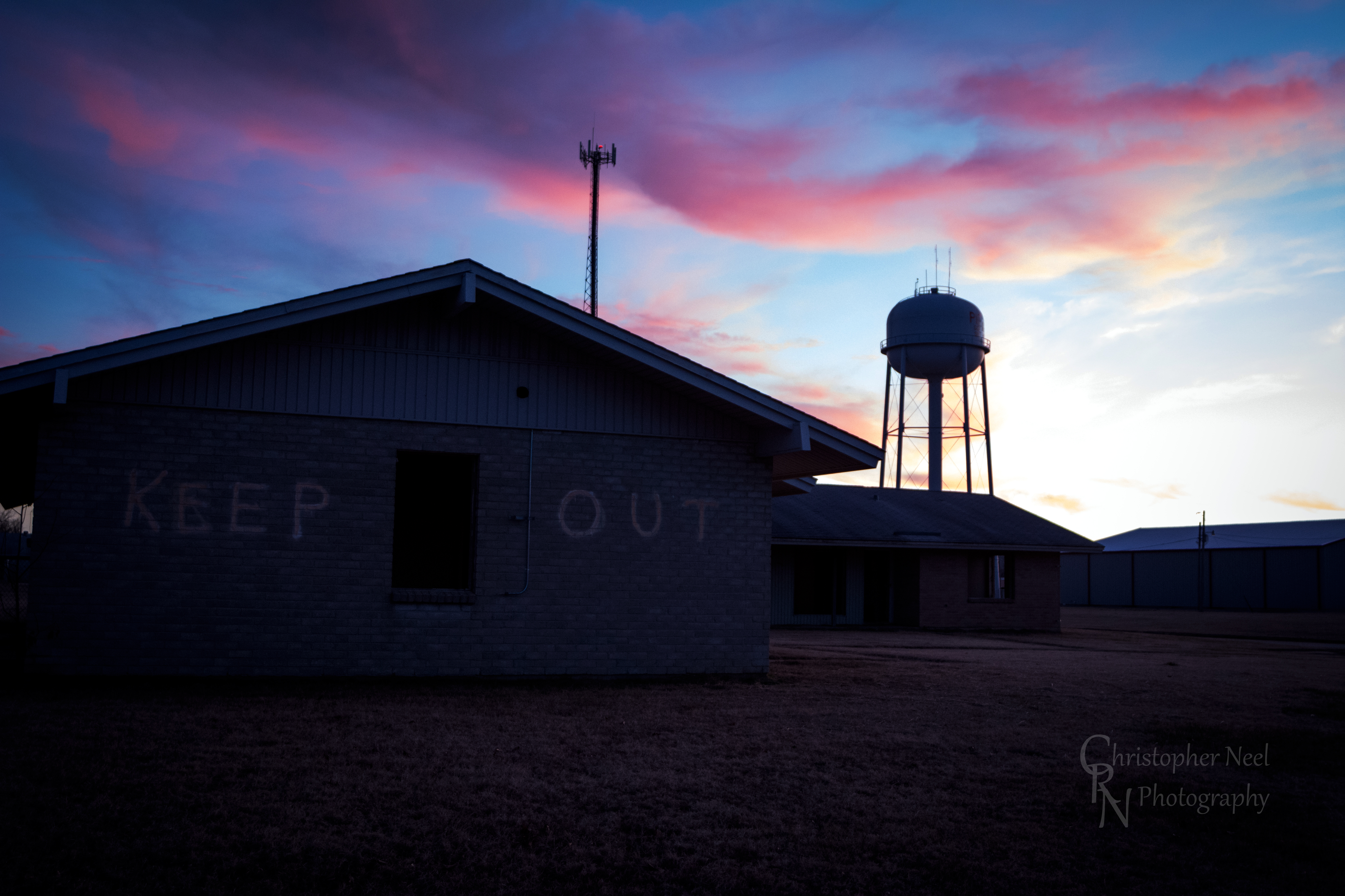
Abandoned Building Keep Out and Sunset in Picher, OK - 20150124CRN

10-06-09 Day 12 - Route 66
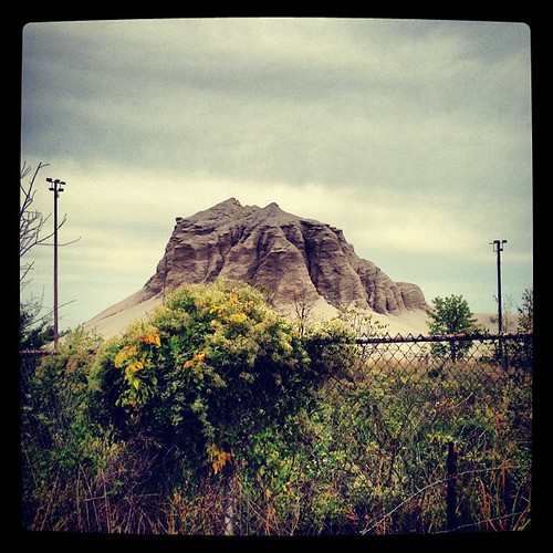
Abandoned 3-2 ballpark & chatpile in Picher, OK, site of the largest toxic waste site in US
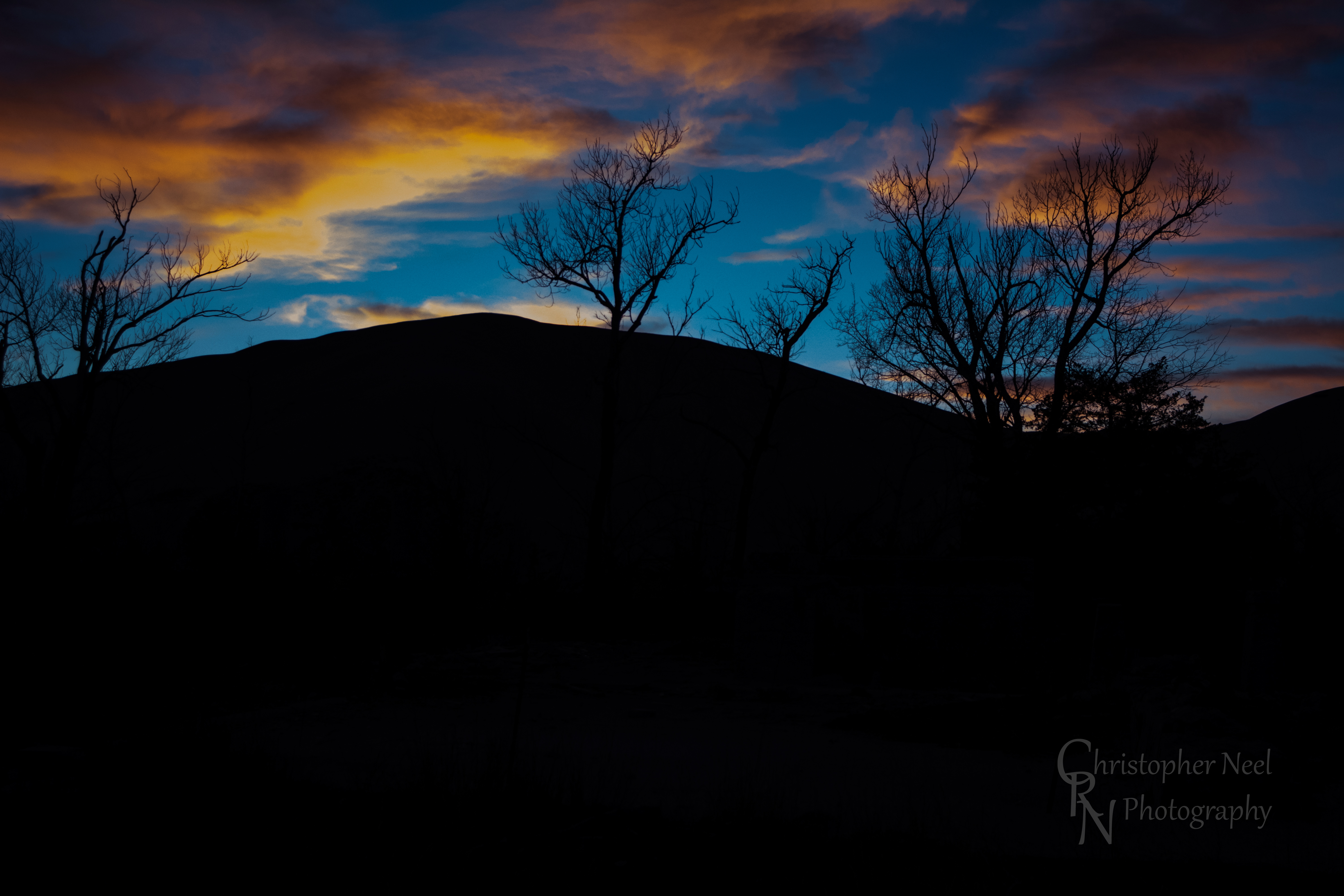
Sunset against a Silhouetted Chat Pile in Picher, OK - 20150124CRN
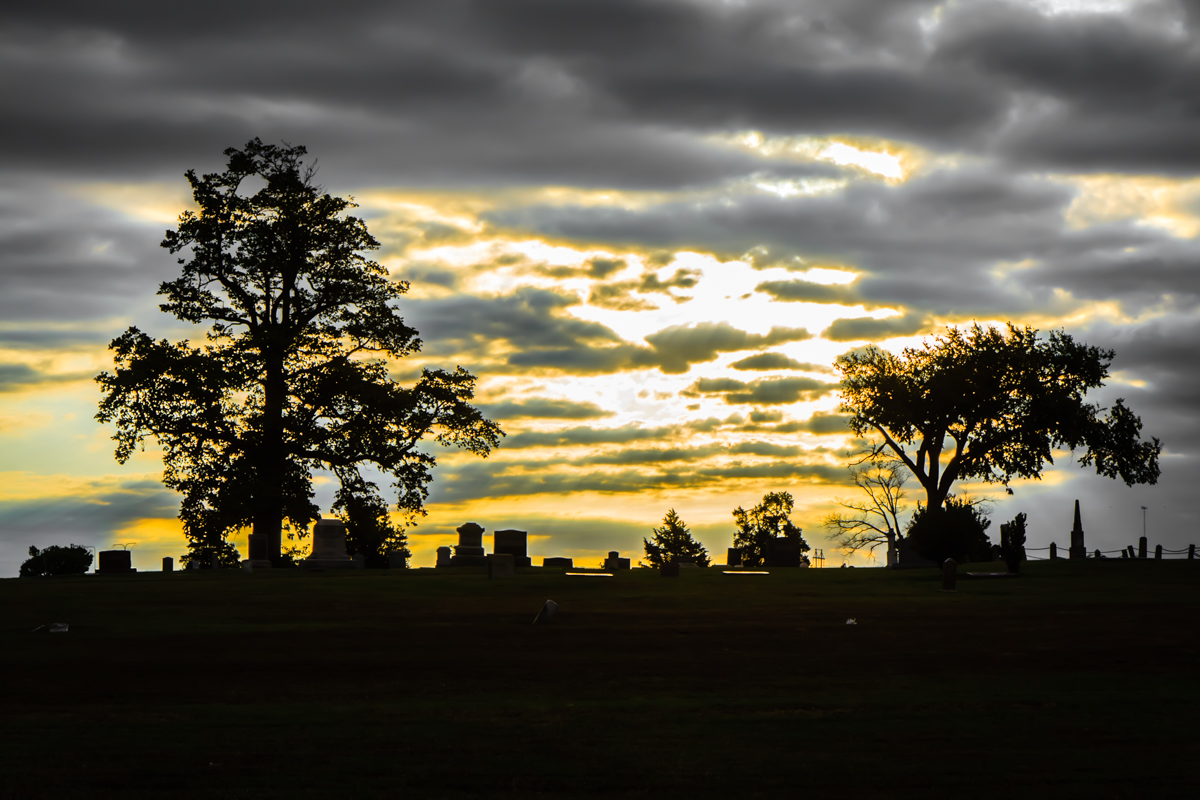
Baxter Springs Cemetery
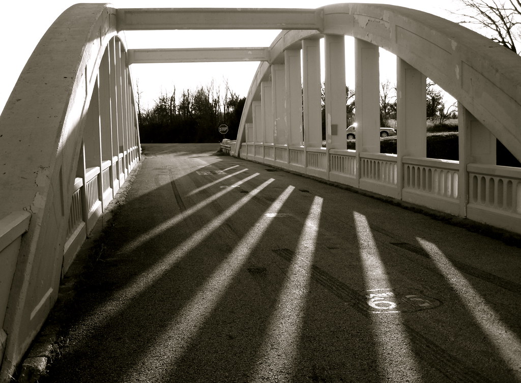
Bridge shadows
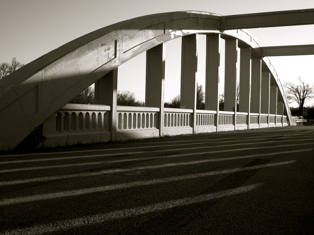
Route 66 Bridge
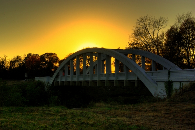
Rainbow Bridge Sunset

Rainbow Sunset

10-06-09 Day 12 - Route 66

10-06-09 Day 12 - Route 66

10-06-09 Day 12 - Route 66

10-06-09 Day 12 - Route 66
アメリカ合衆国 カンザス州 チェロキーの地図
別の場所を検索
アメリカ合衆国 カンザス州 チェロキーでの場所
アメリカ合衆国 カンザス州 ガリナ
アメリカ合衆国 カンザス州 ローラ・タウンシップ
アメリカ合衆国 カンザス州 ミネラル
アメリカ合衆国 カンザス州 スプリング・バレー
アメリカ合衆国 カンザス州 プレザント・ビュー
アメリカ合衆国 〒 カンザス州 コロンバス
アメリカ合衆国 〒 カンザス州 ウィアー
アメリカ合衆国 〒 カンザス州 バックスター・スプリングス
アメリカ合衆国 カンザス州 ガーデン
アメリカ合衆国 カンザス州 ネオショー
アメリカ合衆国 カンザス州 シェリダン
アメリカ合衆国 〒 カンザス州 サラマンカ
近所の場所
SE 25th St, Columbus, KS アメリカ合衆国
アメリカ合衆国 〒 カンザス州 コロンバス
Pennsylvania, Columbus, KS アメリカ合衆国
アメリカ合衆国 カンザス州 スプリング・バレー
SE 68th St, Riverton, KS アメリカ合衆国
W 12th St, Baxter Springs, KS アメリカ合衆国
アメリカ合衆国 〒 カンザス州 リバートン
アメリカ合衆国 〒 カンザス州 バックスター・スプリングス
28 NE Turkey Ln, Columbus, KS アメリカ合衆国
アメリカ合衆国 〒 カンザス州 サラマンカ
Hale Irwin Dr, Baxter Springs, KS アメリカ合衆国Baxter Springs Golf & Country Club
アメリカ合衆国 カンザス州 ミネラル
US-69, Scammon, KS アメリカ合衆国Fox 14
アメリカ合衆国 カンザス州 ガーデン
Virginia St, Quapaw, OK アメリカ合衆国
アメリカ合衆国 〒 オクラホマ州 クォパウ
W 6th St, Galena, KS アメリカ合衆国
アメリカ合衆国 カンザス州 ガリナ
S Main St, Galena, KS アメリカ合衆国Mi Torito Mexican Restaurant
Commerce St, Commerce, OK アメリカ合衆国
最近の検索
- Presidente Quintana & Emilio Mitre, Carlos Keen, Provincia de Buenos Aires, Argentina日の出日の入り時間
- Deep Gap Farm Rd E, Mill Spring, NC, USA日の出日の入り時間
- 中華人民共和国 広東省 仏山市 南海区 九江鎮日の出日の入り時間
- アメリカ合衆国 〒 カリフォルニア州 マウンテンビュー日の出日の入り時間
- 日本、〒- 北海道斜里郡斜里町朱円東天に続く道展望台日の出日の入り時間
- 海岸咖啡, No. 31號, Chaishan Ave, Gushan District, Kaohsiung City, Taiwan日の出日の入り時間
- Estates Loop, Priest River, ID アメリカ合衆国日の出日の入り時間
- Woodland Oak Pl, Thousand Oaks, CA アメリカ合衆国日の出日の入り時間
- Sarangdanda ネパール日の出日の入り時間
- 日本、〒- 宮城県塩竈市中の島日の出日の入り時間