アメリカ合衆国 〒 カリフォルニア州 パーブロッサム日の出日の入り時間
Location: アメリカ合衆国 > カリフォルニア州 > ロサンゼルス >
時間帯:
America/Los_Angeles
現地時間:
2024-04-28 18:53:57
経度:
-117.9096804
緯度:
34.5064141
今日の日の出時刻:
06:02:29 AM
今日の日の入時刻:
07:35:14 PM
今日の日長:
13h 32m 45s
明日の日の出時刻:
06:01:27 AM
明日の日の入時刻:
07:36:02 PM
明日の日長:
13h 34m 35s
すべて表示する
| 日付 | 日出 | 日没 | 日長 |
|---|---|---|---|
| 2024年01月01日 | 06:58:24 AM | 04:52:37 PM | 9h 54m 13s |
| 2024年01月02日 | 06:58:33 AM | 04:53:23 PM | 9h 54m 50s |
| 2024年01月03日 | 06:58:40 AM | 04:54:11 PM | 9h 55m 31s |
| 2024年01月04日 | 06:58:46 AM | 04:55:00 PM | 9h 56m 14s |
| 2024年01月05日 | 06:58:50 AM | 04:55:49 PM | 9h 56m 59s |
| 2024年01月06日 | 06:58:51 AM | 04:56:40 PM | 9h 57m 49s |
| 2024年01月07日 | 06:58:51 AM | 04:57:31 PM | 9h 58m 40s |
| 2024年01月08日 | 06:58:49 AM | 04:58:24 PM | 9h 59m 35s |
| 2024年01月09日 | 06:58:45 AM | 04:59:17 PM | 10h 0m 32s |
| 2024年01月10日 | 06:58:39 AM | 05:00:11 PM | 10h 1m 32s |
| 2024年01月11日 | 06:58:31 AM | 05:01:05 PM | 10h 2m 34s |
| 2024年01月12日 | 06:58:22 AM | 05:02:01 PM | 10h 3m 39s |
| 2024年01月13日 | 06:58:10 AM | 05:02:57 PM | 10h 4m 47s |
| 2024年01月14日 | 06:57:57 AM | 05:03:53 PM | 10h 5m 56s |
| 2024年01月15日 | 06:57:42 AM | 05:04:50 PM | 10h 7m 8s |
| 2024年01月16日 | 06:57:25 AM | 05:05:48 PM | 10h 8m 23s |
| 2024年01月17日 | 06:57:06 AM | 05:06:46 PM | 10h 9m 40s |
| 2024年01月18日 | 06:56:45 AM | 05:07:44 PM | 10h 10m 59s |
| 2024年01月19日 | 06:56:22 AM | 05:08:43 PM | 10h 12m 21s |
| 2024年01月20日 | 06:55:58 AM | 05:09:42 PM | 10h 13m 44s |
| 2024年01月21日 | 06:55:32 AM | 05:10:41 PM | 10h 15m 9s |
| 2024年01月22日 | 06:55:04 AM | 05:11:41 PM | 10h 16m 37s |
| 2024年01月23日 | 06:54:34 AM | 05:12:41 PM | 10h 18m 7s |
| 2024年01月24日 | 06:54:02 AM | 05:13:40 PM | 10h 19m 38s |
| 2024年01月25日 | 06:53:29 AM | 05:14:40 PM | 10h 21m 11s |
| 2024年01月26日 | 06:52:54 AM | 05:15:41 PM | 10h 22m 47s |
| 2024年01月27日 | 06:52:18 AM | 05:16:41 PM | 10h 24m 23s |
| 2024年01月28日 | 06:51:40 AM | 05:17:41 PM | 10h 26m 1s |
| 2024年01月29日 | 06:51:00 AM | 05:18:41 PM | 10h 27m 41s |
| 2024年01月30日 | 06:50:19 AM | 05:19:41 PM | 10h 29m 22s |
| 2024年01月31日 | 06:49:36 AM | 05:20:41 PM | 10h 31m 5s |
| 2024年02月01日 | 06:48:51 AM | 05:21:41 PM | 10h 32m 50s |
| 2024年02月02日 | 06:48:05 AM | 05:22:41 PM | 10h 34m 36s |
| 2024年02月03日 | 06:47:18 AM | 05:23:41 PM | 10h 36m 23s |
| 2024年02月04日 | 06:46:29 AM | 05:24:41 PM | 10h 38m 12s |
| 2024年02月05日 | 06:45:38 AM | 05:25:40 PM | 10h 40m 2s |
| 2024年02月06日 | 06:44:46 AM | 05:26:39 PM | 10h 41m 53s |
| 2024年02月07日 | 06:43:53 AM | 05:27:38 PM | 10h 43m 45s |
| 2024年02月08日 | 06:42:59 AM | 05:28:37 PM | 10h 45m 38s |
| 2024年02月09日 | 06:42:03 AM | 05:29:36 PM | 10h 47m 33s |
| 2024年02月10日 | 06:41:06 AM | 05:30:34 PM | 10h 49m 28s |
| 2024年02月11日 | 06:40:07 AM | 05:31:32 PM | 10h 51m 25s |
| 2024年02月12日 | 06:39:08 AM | 05:32:29 PM | 10h 53m 21s |
| 2024年02月13日 | 06:38:07 AM | 05:33:27 PM | 10h 55m 20s |
| 2024年02月14日 | 06:37:05 AM | 05:34:24 PM | 10h 57m 19s |
| 2024年02月15日 | 06:36:02 AM | 05:35:21 PM | 10h 59m 19s |
| 2024年02月16日 | 06:34:58 AM | 05:36:17 PM | 11h 1m 19s |
| 2024年02月17日 | 06:33:53 AM | 05:37:13 PM | 11h 3m 20s |
| 2024年02月18日 | 06:32:46 AM | 05:38:09 PM | 11h 5m 23s |
| 2024年02月19日 | 06:31:39 AM | 05:39:04 PM | 11h 7m 25s |
| 2024年02月20日 | 06:30:31 AM | 05:39:59 PM | 11h 9m 28s |
| 2024年02月21日 | 06:29:21 AM | 05:40:54 PM | 11h 11m 33s |
| 2024年02月22日 | 06:28:11 AM | 05:41:48 PM | 11h 13m 37s |
| 2024年02月23日 | 06:27:00 AM | 05:42:42 PM | 11h 15m 42s |
| 2024年02月24日 | 06:25:49 AM | 05:43:36 PM | 11h 17m 47s |
| 2024年02月25日 | 06:24:36 AM | 05:44:30 PM | 11h 19m 54s |
| 2024年02月26日 | 06:23:22 AM | 05:45:23 PM | 11h 22m 1s |
| 2024年02月27日 | 06:22:08 AM | 05:46:15 PM | 11h 24m 7s |
| 2024年02月28日 | 06:20:53 AM | 05:47:08 PM | 11h 26m 15s |
| 2024年02月29日 | 06:19:38 AM | 05:48:00 PM | 11h 28m 22s |
| 2024年03月01日 | 06:18:22 AM | 05:48:51 PM | 11h 30m 29s |
| 2024年03月02日 | 06:17:05 AM | 05:49:43 PM | 11h 32m 38s |
| 2024年03月03日 | 06:15:47 AM | 05:50:34 PM | 11h 34m 47s |
| 2024年03月04日 | 06:14:29 AM | 05:51:25 PM | 11h 36m 56s |
| 2024年03月05日 | 06:13:10 AM | 05:52:15 PM | 11h 39m 5s |
| 2024年03月06日 | 06:11:51 AM | 05:53:05 PM | 11h 41m 14s |
| 2024年03月07日 | 06:10:32 AM | 05:53:55 PM | 11h 43m 23s |
| 2024年03月08日 | 06:09:12 AM | 05:54:45 PM | 11h 45m 33s |
| 2024年03月09日 | 06:07:51 AM | 05:55:34 PM | 11h 47m 43s |
| 2024年03月10日 | 07:06:34 AM | 06:56:22 PM | 11h 49m 48s |
| 2024年03月11日 | 07:05:13 AM | 06:57:10 PM | 11h 51m 57s |
| 2024年03月12日 | 07:03:51 AM | 06:57:59 PM | 11h 54m 8s |
| 2024年03月13日 | 07:02:29 AM | 06:58:48 PM | 11h 56m 19s |
| 2024年03月14日 | 07:01:07 AM | 06:59:36 PM | 11h 58m 29s |
| 2024年03月15日 | 06:59:45 AM | 07:00:24 PM | 12h 0m 39s |
| 2024年03月16日 | 06:58:23 AM | 07:01:12 PM | 12h 2m 49s |
| 2024年03月17日 | 06:57:00 AM | 07:02:00 PM | 12h 5m 0s |
| 2024年03月18日 | 06:55:37 AM | 07:02:47 PM | 12h 7m 10s |
| 2024年03月19日 | 06:54:14 AM | 07:03:35 PM | 12h 9m 21s |
| 2024年03月20日 | 06:52:51 AM | 07:04:22 PM | 12h 11m 31s |
| 2024年03月21日 | 06:51:28 AM | 07:05:09 PM | 12h 13m 41s |
| 2024年03月22日 | 06:50:05 AM | 07:05:56 PM | 12h 15m 51s |
| 2024年03月23日 | 06:48:42 AM | 07:06:43 PM | 12h 18m 1s |
| 2024年03月24日 | 06:47:19 AM | 07:07:30 PM | 12h 20m 11s |
| 2024年03月25日 | 06:45:56 AM | 07:08:17 PM | 12h 22m 21s |
| 2024年03月26日 | 06:44:33 AM | 07:09:04 PM | 12h 24m 31s |
| 2024年03月27日 | 06:43:10 AM | 07:09:50 PM | 12h 26m 40s |
| 2024年03月28日 | 06:41:47 AM | 07:10:37 PM | 12h 28m 50s |
| 2024年03月29日 | 06:40:25 AM | 07:11:24 PM | 12h 30m 59s |
| 2024年03月30日 | 06:39:02 AM | 07:12:10 PM | 12h 33m 8s |
| 2024年03月31日 | 06:37:40 AM | 07:12:57 PM | 12h 35m 17s |
| 2024年04月01日 | 06:36:19 AM | 07:13:43 PM | 12h 37m 24s |
| 2024年04月02日 | 06:34:57 AM | 07:14:30 PM | 12h 39m 33s |
| 2024年04月03日 | 06:33:36 AM | 07:15:16 PM | 12h 41m 40s |
| 2024年04月04日 | 06:32:15 AM | 07:16:03 PM | 12h 43m 48s |
| 2024年04月05日 | 06:30:54 AM | 07:16:50 PM | 12h 45m 56s |
| 2024年04月06日 | 06:29:34 AM | 07:17:36 PM | 12h 48m 2s |
| 2024年04月07日 | 06:28:15 AM | 07:18:23 PM | 12h 50m 8s |
| 2024年04月08日 | 06:26:56 AM | 07:19:09 PM | 12h 52m 13s |
| 2024年04月09日 | 06:25:37 AM | 07:19:56 PM | 12h 54m 19s |
| 2024年04月10日 | 06:24:19 AM | 07:20:43 PM | 12h 56m 24s |
| 2024年04月11日 | 06:23:01 AM | 07:21:30 PM | 12h 58m 29s |
| 2024年04月12日 | 06:21:44 AM | 07:22:17 PM | 13h 0m 33s |
| 2024年04月13日 | 06:20:28 AM | 07:23:04 PM | 13h 2m 36s |
| 2024年04月14日 | 06:19:12 AM | 07:23:51 PM | 13h 4m 39s |
| 2024年04月15日 | 06:17:57 AM | 07:24:38 PM | 13h 6m 41s |
| 2024年04月16日 | 06:16:42 AM | 07:25:25 PM | 13h 8m 43s |
| 2024年04月17日 | 06:15:28 AM | 07:26:12 PM | 13h 10m 44s |
| 2024年04月18日 | 06:14:15 AM | 07:27:00 PM | 13h 12m 45s |
| 2024年04月19日 | 06:13:03 AM | 07:27:47 PM | 13h 14m 44s |
| 2024年04月20日 | 06:11:52 AM | 07:28:35 PM | 13h 16m 43s |
| 2024年04月21日 | 06:10:41 AM | 07:29:22 PM | 13h 18m 41s |
| 2024年04月22日 | 06:09:31 AM | 07:30:10 PM | 13h 20m 39s |
| 2024年04月23日 | 06:08:23 AM | 07:30:57 PM | 13h 22m 34s |
| 2024年04月24日 | 06:07:15 AM | 07:31:45 PM | 13h 24m 30s |
| 2024年04月25日 | 06:06:08 AM | 07:32:33 PM | 13h 26m 25s |
| 2024年04月26日 | 06:05:02 AM | 07:33:20 PM | 13h 28m 18s |
| 2024年04月27日 | 06:03:57 AM | 07:34:08 PM | 13h 30m 11s |
| 2024年04月28日 | 06:02:53 AM | 07:34:56 PM | 13h 32m 3s |
| 2024年04月29日 | 06:01:50 AM | 07:35:44 PM | 13h 33m 54s |
| 2024年04月30日 | 06:00:48 AM | 07:36:32 PM | 13h 35m 44s |
| 2024年05月01日 | 05:59:47 AM | 07:37:19 PM | 13h 37m 32s |
| 2024年05月02日 | 05:58:48 AM | 07:38:07 PM | 13h 39m 19s |
| 2024年05月03日 | 05:57:49 AM | 07:38:55 PM | 13h 41m 6s |
| 2024年05月04日 | 05:56:52 AM | 07:39:42 PM | 13h 42m 50s |
| 2024年05月05日 | 05:55:56 AM | 07:40:30 PM | 13h 44m 34s |
| 2024年05月06日 | 05:55:01 AM | 07:41:17 PM | 13h 46m 16s |
| 2024年05月07日 | 05:54:08 AM | 07:42:05 PM | 13h 47m 57s |
| 2024年05月08日 | 05:53:15 AM | 07:42:52 PM | 13h 49m 37s |
| 2024年05月09日 | 05:52:24 AM | 07:43:39 PM | 13h 51m 15s |
| 2024年05月10日 | 05:51:35 AM | 07:44:26 PM | 13h 52m 51s |
| 2024年05月11日 | 05:50:46 AM | 07:45:12 PM | 13h 54m 26s |
| 2024年05月12日 | 05:50:00 AM | 07:45:59 PM | 13h 55m 59s |
| 2024年05月13日 | 05:49:14 AM | 07:46:45 PM | 13h 57m 31s |
| 2024年05月14日 | 05:48:30 AM | 07:47:31 PM | 13h 59m 1s |
| 2024年05月15日 | 05:47:47 AM | 07:48:16 PM | 14h 0m 29s |
| 2024年05月16日 | 05:47:06 AM | 07:49:01 PM | 14h 1m 55s |
| 2024年05月17日 | 05:46:26 AM | 07:49:46 PM | 14h 3m 20s |
| 2024年05月18日 | 05:45:48 AM | 07:50:31 PM | 14h 4m 43s |
| 2024年05月19日 | 05:45:11 AM | 07:51:15 PM | 14h 6m 4s |
| 2024年05月20日 | 05:44:36 AM | 07:51:58 PM | 14h 7m 22s |
| 2024年05月21日 | 05:44:02 AM | 07:52:41 PM | 14h 8m 39s |
| 2024年05月22日 | 05:43:30 AM | 07:53:24 PM | 14h 9m 54s |
| 2024年05月23日 | 05:43:00 AM | 07:54:06 PM | 14h 11m 6s |
| 2024年05月24日 | 05:42:31 AM | 07:54:47 PM | 14h 12m 16s |
| 2024年05月25日 | 05:42:03 AM | 07:55:28 PM | 14h 13m 25s |
| 2024年05月26日 | 05:41:37 AM | 07:56:08 PM | 14h 14m 31s |
| 2024年05月27日 | 05:41:13 AM | 07:56:48 PM | 14h 15m 35s |
| 2024年05月28日 | 05:40:51 AM | 07:57:27 PM | 14h 16m 36s |
| 2024年05月29日 | 05:40:30 AM | 07:58:05 PM | 14h 17m 35s |
| 2024年05月30日 | 05:40:10 AM | 07:58:42 PM | 14h 18m 32s |
| 2024年05月31日 | 05:39:52 AM | 07:59:18 PM | 14h 19m 26s |
| 2024年06月01日 | 05:39:36 AM | 07:59:54 PM | 14h 20m 18s |
| 2024年06月02日 | 05:39:22 AM | 08:00:28 PM | 14h 21m 6s |
| 2024年06月03日 | 05:39:09 AM | 08:01:02 PM | 14h 21m 53s |
| 2024年06月04日 | 05:38:58 AM | 08:01:35 PM | 14h 22m 37s |
| 2024年06月05日 | 05:38:48 AM | 08:02:06 PM | 14h 23m 18s |
| 2024年06月06日 | 05:38:40 AM | 08:02:37 PM | 14h 23m 57s |
| 2024年06月07日 | 05:38:34 AM | 08:03:06 PM | 14h 24m 32s |
| 2024年06月08日 | 05:38:29 AM | 08:03:35 PM | 14h 25m 6s |
| 2024年06月09日 | 05:38:26 AM | 08:04:02 PM | 14h 25m 36s |
| 2024年06月10日 | 05:38:24 AM | 08:04:28 PM | 14h 26m 4s |
| 2024年06月11日 | 05:38:24 AM | 08:04:53 PM | 14h 26m 29s |
| 2024年06月12日 | 05:38:26 AM | 08:05:17 PM | 14h 26m 51s |
| 2024年06月13日 | 05:38:29 AM | 08:05:39 PM | 14h 27m 10s |
| 2024年06月14日 | 05:38:33 AM | 08:06:00 PM | 14h 27m 27s |
| 2024年06月15日 | 05:38:40 AM | 08:06:20 PM | 14h 27m 40s |
| 2024年06月16日 | 05:38:47 AM | 08:06:38 PM | 14h 27m 51s |
| 2024年06月17日 | 05:38:56 AM | 08:06:55 PM | 14h 27m 59s |
| 2024年06月18日 | 05:39:07 AM | 08:07:11 PM | 14h 28m 4s |
| 2024年06月19日 | 05:39:19 AM | 08:07:25 PM | 14h 28m 6s |
| 2024年06月20日 | 05:39:32 AM | 08:07:38 PM | 14h 28m 6s |
| 2024年06月21日 | 05:39:47 AM | 08:07:49 PM | 14h 28m 2s |
| 2024年06月22日 | 05:40:03 AM | 08:07:59 PM | 14h 27m 56s |
| 2024年06月23日 | 05:40:21 AM | 08:08:07 PM | 14h 27m 46s |
| 2024年06月24日 | 05:40:40 AM | 08:08:13 PM | 14h 27m 33s |
| 2024年06月25日 | 05:41:00 AM | 08:08:18 PM | 14h 27m 18s |
| 2024年06月26日 | 05:41:21 AM | 08:08:22 PM | 14h 27m 1s |
| 2024年06月27日 | 05:41:44 AM | 08:08:24 PM | 14h 26m 40s |
| 2024年06月28日 | 05:42:08 AM | 08:08:24 PM | 14h 26m 16s |
| 2024年06月29日 | 05:42:32 AM | 08:08:23 PM | 14h 25m 51s |
| 2024年06月30日 | 05:42:58 AM | 08:08:20 PM | 14h 25m 22s |
| 2024年07月01日 | 05:43:26 AM | 08:08:15 PM | 14h 24m 49s |
| 2024年07月02日 | 05:43:54 AM | 08:08:09 PM | 14h 24m 15s |
| 2024年07月03日 | 05:44:23 AM | 08:08:01 PM | 14h 23m 38s |
| 2024年07月04日 | 05:44:53 AM | 08:07:51 PM | 14h 22m 58s |
| 2024年07月05日 | 05:45:24 AM | 08:07:40 PM | 14h 22m 16s |
| 2024年07月06日 | 05:45:56 AM | 08:07:27 PM | 14h 21m 31s |
| 2024年07月07日 | 05:46:29 AM | 08:07:12 PM | 14h 20m 43s |
| 2024年07月08日 | 05:47:03 AM | 08:06:56 PM | 14h 19m 53s |
| 2024年07月09日 | 05:47:38 AM | 08:06:38 PM | 14h 19m 0s |
| 2024年07月10日 | 05:48:13 AM | 08:06:18 PM | 14h 18m 5s |
| 2024年07月11日 | 05:48:49 AM | 08:05:57 PM | 14h 17m 8s |
| 2024年07月12日 | 05:49:26 AM | 08:05:34 PM | 14h 16m 8s |
| 2024年07月13日 | 05:50:03 AM | 08:05:09 PM | 14h 15m 6s |
| 2024年07月14日 | 05:50:41 AM | 08:04:43 PM | 14h 14m 2s |
| 2024年07月15日 | 05:51:20 AM | 08:04:15 PM | 14h 12m 55s |
| 2024年07月16日 | 05:51:59 AM | 08:03:46 PM | 14h 11m 47s |
| 2024年07月17日 | 05:52:39 AM | 08:03:15 PM | 14h 10m 36s |
| 2024年07月18日 | 05:53:19 AM | 08:02:42 PM | 14h 9m 23s |
| 2024年07月19日 | 05:54:00 AM | 08:02:08 PM | 14h 8m 8s |
| 2024年07月20日 | 05:54:41 AM | 08:01:32 PM | 14h 6m 51s |
| 2024年07月21日 | 05:55:23 AM | 08:00:55 PM | 14h 5m 32s |
| 2024年07月22日 | 05:56:05 AM | 08:00:16 PM | 14h 4m 11s |
| 2024年07月23日 | 05:56:47 AM | 07:59:35 PM | 14h 2m 48s |
| 2024年07月24日 | 05:57:30 AM | 07:58:53 PM | 14h 1m 23s |
| 2024年07月25日 | 05:58:13 AM | 07:58:10 PM | 13h 59m 57s |
| 2024年07月26日 | 05:58:56 AM | 07:57:25 PM | 13h 58m 29s |
| 2024年07月27日 | 05:59:39 AM | 07:56:39 PM | 13h 57m 0s |
| 2024年07月28日 | 06:00:23 AM | 07:55:51 PM | 13h 55m 28s |
| 2024年07月29日 | 06:01:07 AM | 07:55:02 PM | 13h 53m 55s |
| 2024年07月30日 | 06:01:51 AM | 07:54:11 PM | 13h 52m 20s |
| 2024年07月31日 | 06:02:35 AM | 07:53:19 PM | 13h 50m 44s |
| 2024年08月01日 | 06:03:19 AM | 07:52:26 PM | 13h 49m 7s |
| 2024年08月02日 | 06:04:03 AM | 07:51:31 PM | 13h 47m 28s |
| 2024年08月03日 | 06:04:48 AM | 07:50:36 PM | 13h 45m 48s |
| 2024年08月04日 | 06:05:32 AM | 07:49:39 PM | 13h 44m 7s |
| 2024年08月05日 | 06:06:17 AM | 07:48:40 PM | 13h 42m 23s |
| 2024年08月06日 | 06:07:01 AM | 07:47:41 PM | 13h 40m 40s |
| 2024年08月07日 | 06:07:46 AM | 07:46:40 PM | 13h 38m 54s |
| 2024年08月08日 | 06:08:30 AM | 07:45:38 PM | 13h 37m 8s |
| 2024年08月09日 | 06:09:15 AM | 07:44:35 PM | 13h 35m 20s |
| 2024年08月10日 | 06:09:59 AM | 07:43:31 PM | 13h 33m 32s |
| 2024年08月11日 | 06:10:43 AM | 07:42:26 PM | 13h 31m 43s |
| 2024年08月12日 | 06:11:28 AM | 07:41:20 PM | 13h 29m 52s |
| 2024年08月13日 | 06:12:12 AM | 07:40:12 PM | 13h 28m 0s |
| 2024年08月14日 | 06:12:56 AM | 07:39:04 PM | 13h 26m 8s |
| 2024年08月15日 | 06:13:41 AM | 07:37:55 PM | 13h 24m 14s |
| 2024年08月16日 | 06:14:25 AM | 07:36:45 PM | 13h 22m 20s |
| 2024年08月17日 | 06:15:09 AM | 07:35:34 PM | 13h 20m 25s |
| 2024年08月18日 | 06:15:53 AM | 07:34:22 PM | 13h 18m 29s |
| 2024年08月19日 | 06:16:36 AM | 07:33:09 PM | 13h 16m 33s |
| 2024年08月20日 | 06:17:20 AM | 07:31:55 PM | 13h 14m 35s |
| 2024年08月21日 | 06:18:04 AM | 07:30:41 PM | 13h 12m 37s |
| 2024年08月22日 | 06:18:47 AM | 07:29:26 PM | 13h 10m 39s |
| 2024年08月23日 | 06:19:31 AM | 07:28:10 PM | 13h 8m 39s |
| 2024年08月24日 | 06:20:14 AM | 07:26:53 PM | 13h 6m 39s |
| 2024年08月25日 | 06:20:57 AM | 07:25:36 PM | 13h 4m 39s |
| 2024年08月26日 | 06:21:40 AM | 07:24:18 PM | 13h 2m 38s |
| 2024年08月27日 | 06:22:23 AM | 07:22:59 PM | 13h 0m 36s |
| 2024年08月28日 | 06:23:06 AM | 07:21:40 PM | 12h 58m 34s |
| 2024年08月29日 | 06:23:49 AM | 07:20:20 PM | 12h 56m 31s |
| 2024年08月30日 | 06:24:32 AM | 07:18:59 PM | 12h 54m 27s |
| 2024年08月31日 | 06:25:14 AM | 07:17:38 PM | 12h 52m 24s |
| 2024年09月01日 | 06:25:57 AM | 07:16:17 PM | 12h 50m 20s |
| 2024年09月02日 | 06:26:40 AM | 07:14:55 PM | 12h 48m 15s |
| 2024年09月03日 | 06:27:22 AM | 07:13:33 PM | 12h 46m 11s |
| 2024年09月04日 | 06:28:04 AM | 07:12:10 PM | 12h 44m 6s |
| 2024年09月05日 | 06:28:47 AM | 07:10:47 PM | 12h 42m 0s |
| 2024年09月06日 | 06:29:29 AM | 07:09:23 PM | 12h 39m 54s |
| 2024年09月07日 | 06:30:11 AM | 07:08:00 PM | 12h 37m 49s |
| 2024年09月08日 | 06:30:54 AM | 07:06:36 PM | 12h 35m 42s |
| 2024年09月09日 | 06:31:36 AM | 07:05:11 PM | 12h 33m 35s |
| 2024年09月10日 | 06:32:18 AM | 07:03:47 PM | 12h 31m 29s |
| 2024年09月11日 | 06:33:01 AM | 07:02:22 PM | 12h 29m 21s |
| 2024年09月12日 | 06:33:43 AM | 07:00:57 PM | 12h 27m 14s |
| 2024年09月13日 | 06:34:25 AM | 06:59:32 PM | 12h 25m 7s |
| 2024年09月14日 | 06:35:08 AM | 06:58:06 PM | 12h 22m 58s |
| 2024年09月15日 | 06:35:50 AM | 06:56:41 PM | 12h 20m 51s |
| 2024年09月16日 | 06:36:33 AM | 06:55:16 PM | 12h 18m 43s |
| 2024年09月17日 | 06:37:15 AM | 06:53:50 PM | 12h 16m 35s |
| 2024年09月18日 | 06:37:58 AM | 06:52:25 PM | 12h 14m 27s |
| 2024年09月19日 | 06:38:41 AM | 06:50:59 PM | 12h 12m 18s |
| 2024年09月20日 | 06:39:24 AM | 06:49:34 PM | 12h 10m 10s |
| 2024年09月21日 | 06:40:07 AM | 06:48:09 PM | 12h 8m 2s |
| 2024年09月22日 | 06:40:50 AM | 06:46:43 PM | 12h 5m 53s |
| 2024年09月23日 | 06:41:33 AM | 06:45:18 PM | 12h 3m 45s |
| 2024年09月24日 | 06:42:17 AM | 06:43:53 PM | 12h 1m 36s |
| 2024年09月25日 | 06:43:00 AM | 06:42:29 PM | 11h 59m 29s |
| 2024年09月26日 | 06:43:44 AM | 06:41:04 PM | 11h 57m 20s |
| 2024年09月27日 | 06:44:28 AM | 06:39:40 PM | 11h 55m 12s |
| 2024年09月28日 | 06:45:13 AM | 06:38:16 PM | 11h 53m 3s |
| 2024年09月29日 | 06:45:57 AM | 06:36:52 PM | 11h 50m 55s |
| 2024年09月30日 | 06:46:42 AM | 06:35:29 PM | 11h 48m 47s |
| 2024年10月01日 | 06:47:27 AM | 06:34:06 PM | 11h 46m 39s |
| 2024年10月02日 | 06:48:12 AM | 06:32:43 PM | 11h 44m 31s |
| 2024年10月03日 | 06:48:58 AM | 06:31:21 PM | 11h 42m 23s |
| 2024年10月04日 | 06:49:43 AM | 06:29:59 PM | 11h 40m 16s |
| 2024年10月05日 | 06:50:29 AM | 06:28:38 PM | 11h 38m 9s |
| 2024年10月06日 | 06:51:16 AM | 06:27:17 PM | 11h 36m 1s |
| 2024年10月07日 | 06:52:02 AM | 06:25:57 PM | 11h 33m 55s |
| 2024年10月08日 | 06:52:49 AM | 06:24:38 PM | 11h 31m 49s |
| 2024年10月09日 | 06:53:37 AM | 06:23:19 PM | 11h 29m 42s |
| 2024年10月10日 | 06:54:24 AM | 06:22:00 PM | 11h 27m 36s |
| 2024年10月11日 | 06:55:12 AM | 06:20:43 PM | 11h 25m 31s |
| 2024年10月12日 | 06:56:01 AM | 06:19:26 PM | 11h 23m 25s |
| 2024年10月13日 | 06:56:49 AM | 06:18:09 PM | 11h 21m 20s |
| 2024年10月14日 | 06:57:38 AM | 06:16:54 PM | 11h 19m 16s |
| 2024年10月15日 | 06:58:28 AM | 06:15:39 PM | 11h 17m 11s |
| 2024年10月16日 | 06:59:18 AM | 06:14:25 PM | 11h 15m 7s |
| 2024年10月17日 | 07:00:08 AM | 06:13:12 PM | 11h 13m 4s |
| 2024年10月18日 | 07:00:58 AM | 06:12:00 PM | 11h 11m 2s |
| 2024年10月19日 | 07:01:49 AM | 06:10:49 PM | 11h 9m 0s |
| 2024年10月20日 | 07:02:40 AM | 06:09:38 PM | 11h 6m 58s |
| 2024年10月21日 | 07:03:32 AM | 06:08:29 PM | 11h 4m 57s |
| 2024年10月22日 | 07:04:24 AM | 06:07:21 PM | 11h 2m 57s |
| 2024年10月23日 | 07:05:16 AM | 06:06:14 PM | 11h 0m 58s |
| 2024年10月24日 | 07:06:09 AM | 06:05:07 PM | 10h 58m 58s |
| 2024年10月25日 | 07:07:02 AM | 06:04:02 PM | 10h 57m 0s |
| 2024年10月26日 | 07:07:55 AM | 06:02:58 PM | 10h 55m 3s |
| 2024年10月27日 | 07:08:49 AM | 06:01:55 PM | 10h 53m 6s |
| 2024年10月28日 | 07:09:43 AM | 06:00:54 PM | 10h 51m 11s |
| 2024年10月29日 | 07:10:38 AM | 05:59:53 PM | 10h 49m 15s |
| 2024年10月30日 | 07:11:32 AM | 05:58:54 PM | 10h 47m 22s |
| 2024年10月31日 | 07:12:27 AM | 05:57:56 PM | 10h 45m 29s |
| 2024年11月01日 | 07:13:23 AM | 05:57:00 PM | 10h 43m 37s |
| 2024年11月02日 | 07:14:18 AM | 05:56:05 PM | 10h 41m 47s |
| 2024年11月03日 | 06:15:17 AM | 04:55:09 PM | 10h 39m 52s |
| 2024年11月04日 | 06:16:13 AM | 04:54:16 PM | 10h 38m 3s |
| 2024年11月05日 | 06:17:09 AM | 04:53:25 PM | 10h 36m 16s |
| 2024年11月06日 | 06:18:06 AM | 04:52:36 PM | 10h 34m 30s |
| 2024年11月07日 | 06:19:03 AM | 04:51:48 PM | 10h 32m 45s |
| 2024年11月08日 | 06:19:59 AM | 04:51:02 PM | 10h 31m 3s |
| 2024年11月09日 | 06:20:57 AM | 04:50:17 PM | 10h 29m 20s |
| 2024年11月10日 | 06:21:54 AM | 04:49:33 PM | 10h 27m 39s |
| 2024年11月11日 | 06:22:51 AM | 04:48:52 PM | 10h 26m 1s |
| 2024年11月12日 | 06:23:48 AM | 04:48:12 PM | 10h 24m 24s |
| 2024年11月13日 | 06:24:46 AM | 04:47:33 PM | 10h 22m 47s |
| 2024年11月14日 | 06:25:43 AM | 04:46:57 PM | 10h 21m 14s |
| 2024年11月15日 | 06:26:41 AM | 04:46:22 PM | 10h 19m 41s |
| 2024年11月16日 | 06:27:38 AM | 04:45:48 PM | 10h 18m 10s |
| 2024年11月17日 | 06:28:35 AM | 04:45:17 PM | 10h 16m 42s |
| 2024年11月18日 | 06:29:32 AM | 04:44:47 PM | 10h 15m 15s |
| 2024年11月19日 | 06:30:29 AM | 04:44:19 PM | 10h 13m 50s |
| 2024年11月20日 | 06:31:26 AM | 04:43:53 PM | 10h 12m 27s |
| 2024年11月21日 | 06:32:23 AM | 04:43:28 PM | 10h 11m 5s |
| 2024年11月22日 | 06:33:19 AM | 04:43:06 PM | 10h 9m 47s |
| 2024年11月23日 | 06:34:15 AM | 04:42:45 PM | 10h 8m 30s |
| 2024年11月24日 | 06:35:10 AM | 04:42:26 PM | 10h 7m 16s |
| 2024年11月25日 | 06:36:06 AM | 04:42:10 PM | 10h 6m 4s |
| 2024年11月26日 | 06:37:00 AM | 04:41:55 PM | 10h 4m 55s |
| 2024年11月27日 | 06:37:55 AM | 04:41:41 PM | 10h 3m 46s |
| 2024年11月28日 | 06:38:48 AM | 04:41:30 PM | 10h 2m 42s |
| 2024年11月29日 | 06:39:41 AM | 04:41:21 PM | 10h 1m 40s |
| 2024年11月30日 | 06:40:34 AM | 04:41:14 PM | 10h 0m 40s |
| 2024年12月01日 | 06:41:26 AM | 04:41:08 PM | 9h 59m 42s |
| 2024年12月02日 | 06:42:17 AM | 04:41:05 PM | 9h 58m 48s |
| 2024年12月03日 | 06:43:07 AM | 04:41:03 PM | 9h 57m 56s |
| 2024年12月04日 | 06:43:57 AM | 04:41:04 PM | 9h 57m 7s |
| 2024年12月05日 | 06:44:45 AM | 04:41:06 PM | 9h 56m 21s |
| 2024年12月06日 | 06:45:33 AM | 04:41:10 PM | 9h 55m 37s |
| 2024年12月07日 | 06:46:20 AM | 04:41:16 PM | 9h 54m 56s |
| 2024年12月08日 | 06:47:05 AM | 04:41:24 PM | 9h 54m 19s |
| 2024年12月09日 | 06:47:50 AM | 04:41:34 PM | 9h 53m 44s |
| 2024年12月10日 | 06:48:34 AM | 04:41:46 PM | 9h 53m 12s |
| 2024年12月11日 | 06:49:16 AM | 04:42:00 PM | 9h 52m 44s |
| 2024年12月12日 | 06:49:57 AM | 04:42:15 PM | 9h 52m 18s |
| 2024年12月13日 | 06:50:37 AM | 04:42:33 PM | 9h 51m 56s |
| 2024年12月14日 | 06:51:16 AM | 04:42:52 PM | 9h 51m 36s |
| 2024年12月15日 | 06:51:53 AM | 04:43:13 PM | 9h 51m 20s |
| 2024年12月16日 | 06:52:29 AM | 04:43:36 PM | 9h 51m 7s |
| 2024年12月17日 | 06:53:04 AM | 04:44:00 PM | 9h 50m 56s |
| 2024年12月18日 | 06:53:37 AM | 04:44:26 PM | 9h 50m 49s |
| 2024年12月19日 | 06:54:09 AM | 04:44:54 PM | 9h 50m 45s |
| 2024年12月20日 | 06:54:39 AM | 04:45:24 PM | 9h 50m 45s |
| 2024年12月21日 | 06:55:08 AM | 04:45:55 PM | 9h 50m 47s |
| 2024年12月22日 | 06:55:35 AM | 04:46:27 PM | 9h 50m 52s |
| 2024年12月23日 | 06:56:00 AM | 04:47:02 PM | 9h 51m 2s |
| 2024年12月24日 | 06:56:24 AM | 04:47:37 PM | 9h 51m 13s |
| 2024年12月25日 | 06:56:46 AM | 04:48:14 PM | 9h 51m 28s |
| 2024年12月26日 | 06:57:06 AM | 04:48:53 PM | 9h 51m 47s |
| 2024年12月27日 | 06:57:25 AM | 04:49:33 PM | 9h 52m 8s |
| 2024年12月28日 | 06:57:42 AM | 04:50:14 PM | 9h 52m 32s |
| 2024年12月29日 | 06:57:57 AM | 04:50:57 PM | 9h 53m 0s |
| 2024年12月30日 | 06:58:10 AM | 04:51:41 PM | 9h 53m 31s |
写真
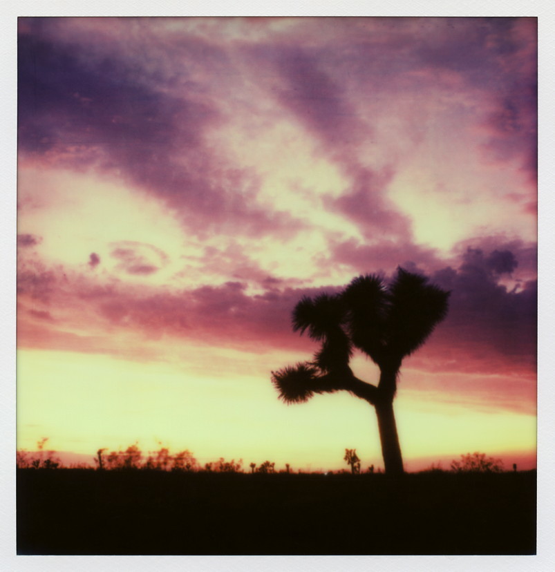
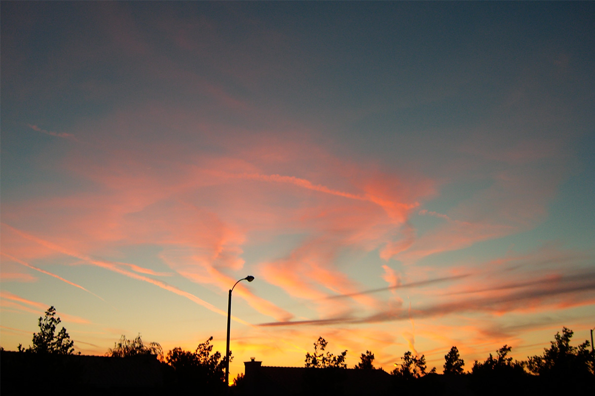
Pearblossom Highway Sunset

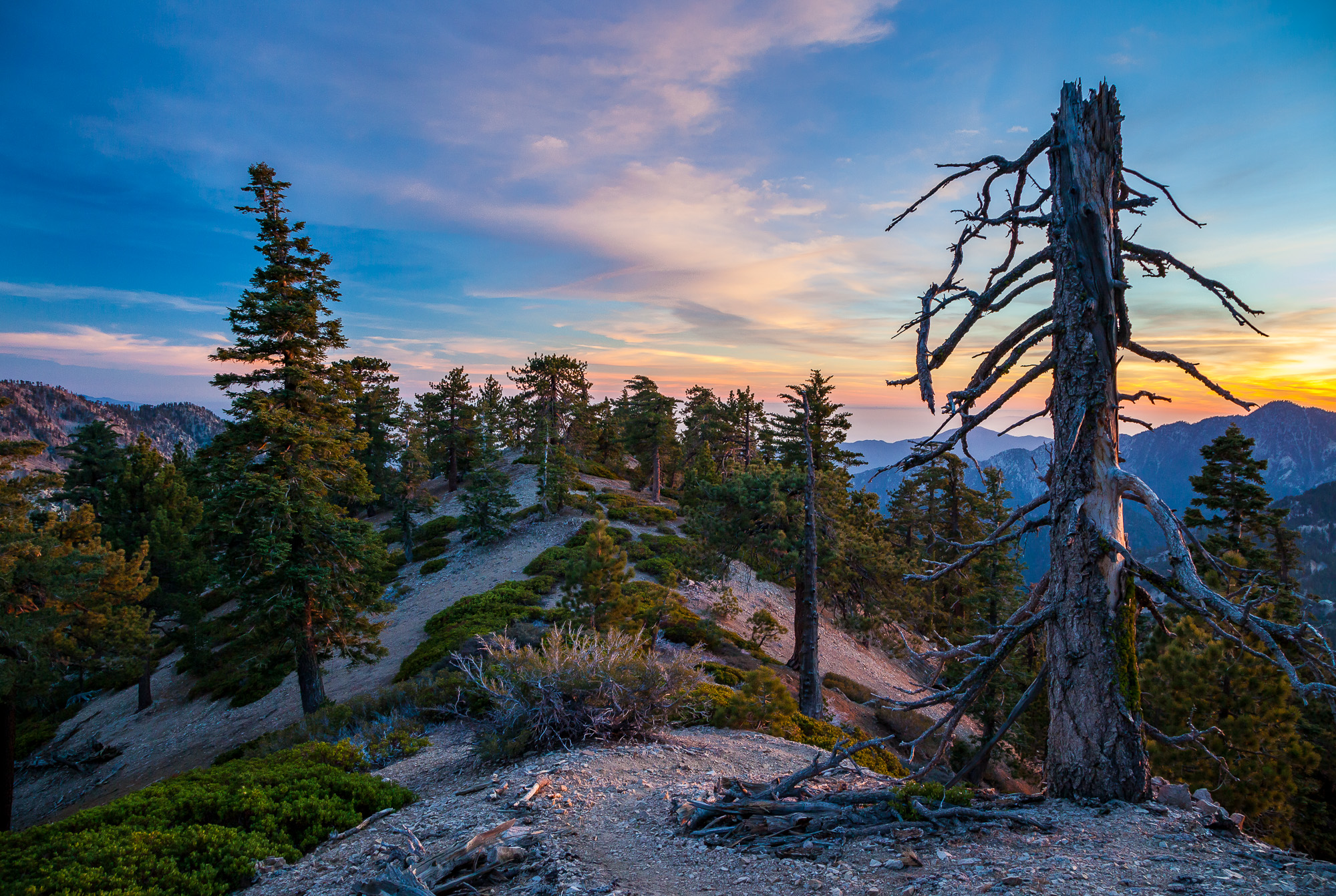
Clearing Storm, Mount Williamson

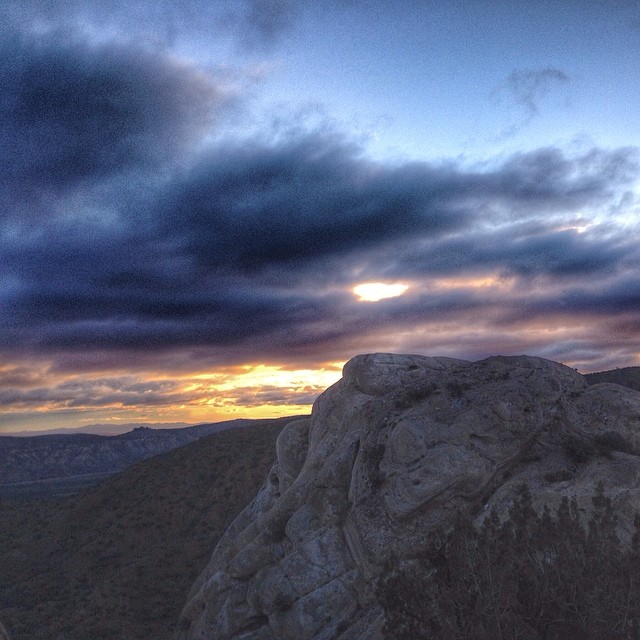
Darkness Sets

Fading Storm on Williamson [Explored]
Life is harsh on the ridge.
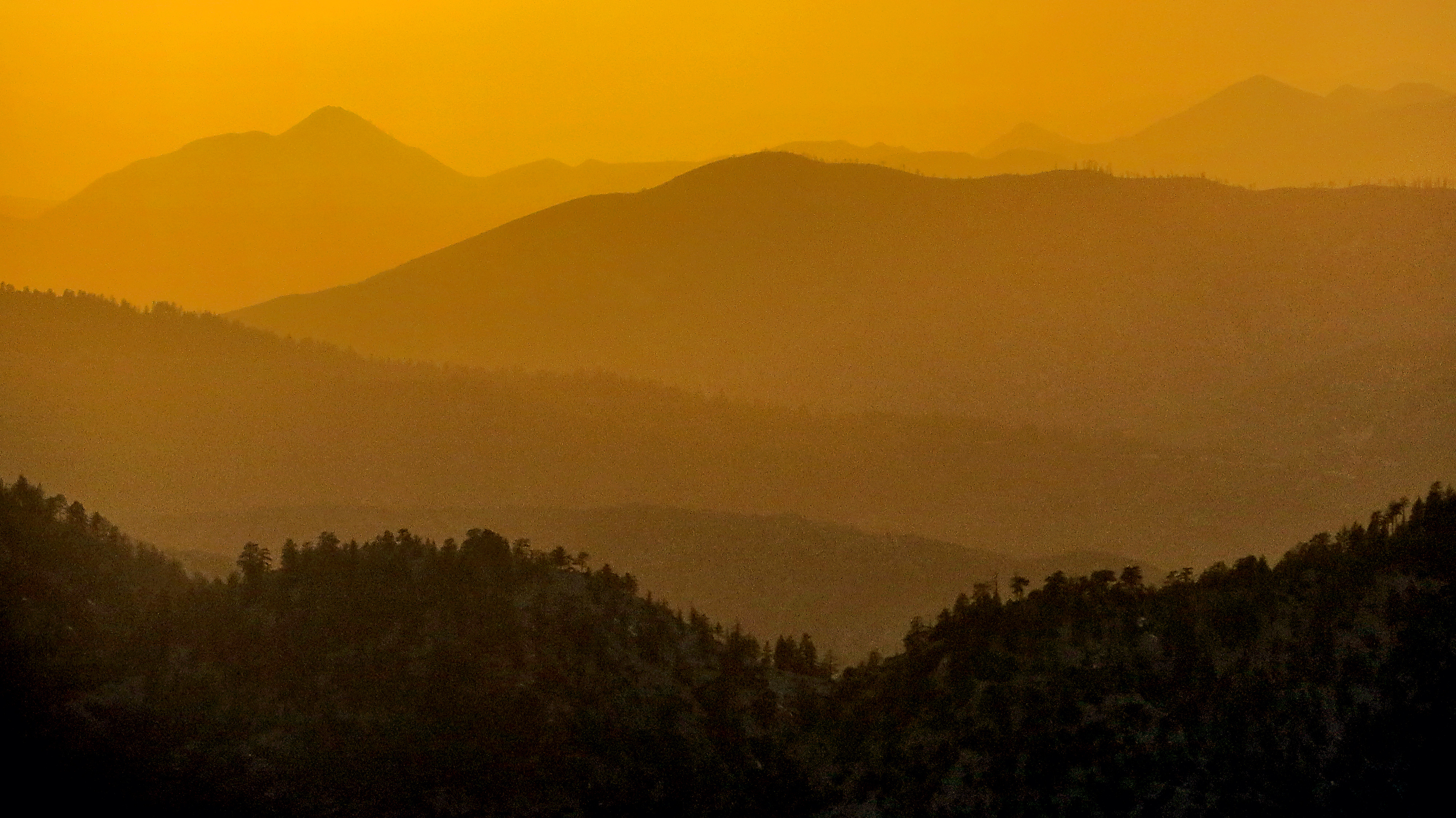
Tangerine Topography

Wake me when it's over [Explored]
Started super early this morning, before the sun came out.
Memorial Day Sunset
Lowering clouds in the west #VSCOCam #summerstorm
2015-06-28 20.14.05
Fiery sunset
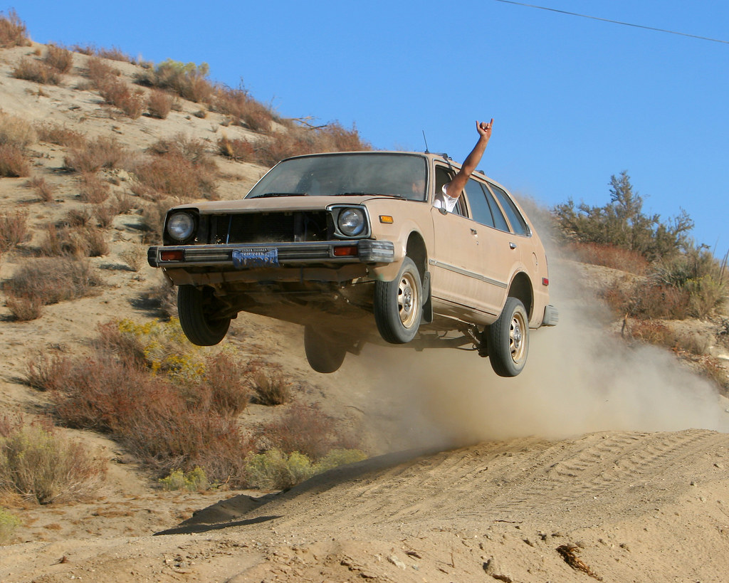
Flying Honda Wagon
The Devil's Punchbowl

Palmdale Sunset
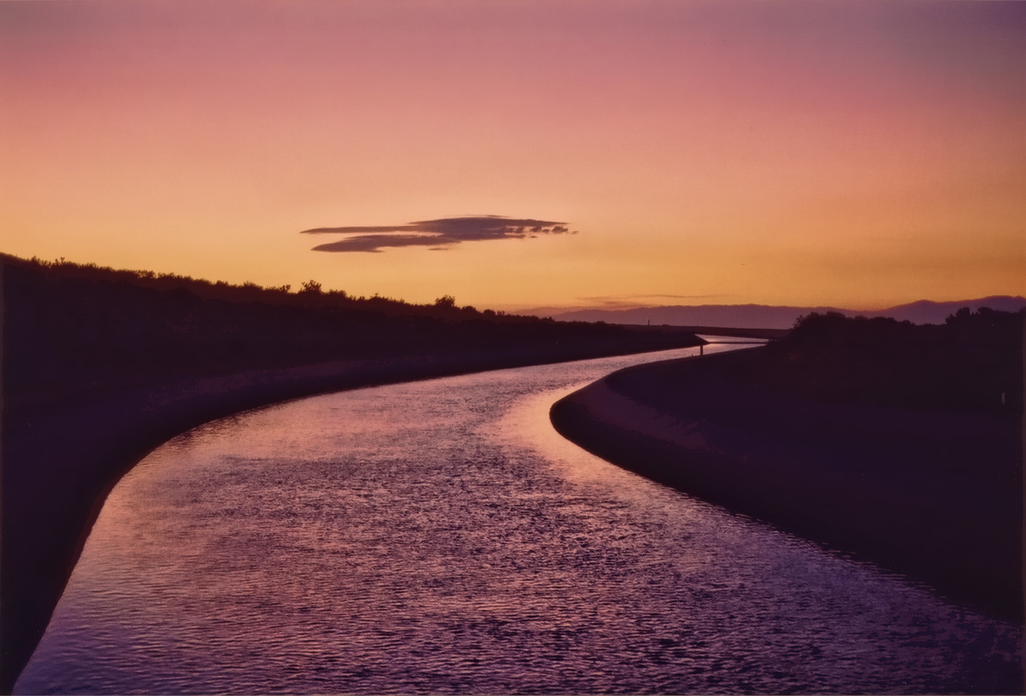
California Aqueduct Near Valyermo, CA 4

Marching Ladies
Sunset in the foothills
Sunset Haze on Williamson

Panorama - Antelope Valley

2007 Honda Shadow Spirit
Four Aces (panorama)
Past the Mission
#VSCOCam Desert sunrise
Live 4eva
Swap Meet Sunrise

Valyermo Dawn
アメリカ合衆国 〒 カリフォルニア州 パーブロッサムの地図
別の場所を検索
アメリカ合衆国 〒 カリフォルニア州 パーブロッサムでの場所
近所の場所
E Ave W 6, Pearblossom, CA アメリカ合衆国
Fort Tejon Rd, Pearblossom, CA アメリカ合衆国
96th St E, California アメリカ合衆国96th ストリート・イースト
N Valyermo Rd, Valyermo, CA アメリカ合衆国
Boca Raton Ave, Llano, CA アメリカ合衆国ボカ・レイトン・アベニュー
アメリカ合衆国 〒 カリフォルニア州 リトルロック
95th St E, Littlerock, CA アメリカ合衆国
E Ave X, Llano, CA アメリカ合衆国
アメリカ合衆国 〒 カリフォルニア州 ラノ
90th St E, Littlerock, CA アメリカ合衆国
アメリカ合衆国 〒 カリフォルニア州 リトル・ロック貯水池
Cheseboro Rd, Palmdale, CA アメリカ合衆国
アメリカ合衆国 カリフォルニア州 レイク・ロス・エンジェルス
Boxthorn St, Palmdale, CA アメリカ合衆国
50th St E, Palmdale, CA アメリカ合衆国
アメリカ合衆国 〒 カリフォルニア州 パームデール
Palmdale Hills Dr, Palmdale, CA アメリカ合衆国
Sulphur Springs Rd, Palmdale, CA アメリカ合衆国
Mt Emma Rd, Palmdale, CA, アメリカ合衆国Mount Emma Road
Dedham Ct, Palmdale, CA アメリカ合衆国
最近の検索
- Lampiasi St, Sarasota, FL, USA日の出日の入り時間
- 日本、〒- 富山県富山市窪本町12−31 APAガーデンコート稲荷日の出日の入り時間
- 台湾 宜蘭県 大同郷Jialuohu日の出日の入り時間
- 日本、〒- 愛媛県今治市関前大下大下港日の出日の入り時間
- 日本、〒- 愛媛県今治市関前大下1930−1大下港フェリー乗り場日の出日の入り時間
- San Telmo, Buenos Aires, Argentina日の出日の入り時間
- Congressional Dr, Stevensville, MD アメリカ合衆国日の出日の入り時間
- ギリシャ 〒 04 パピンゴ日の出日の入り時間
- Kranto 7-oji g. 8"N, Kaunas, リトアニアPagonija rock日の出日の入り時間
- Co Rd 87, Jamestown, CO, USA日の出日の入り時間