E Ave W 6, Pearblossom, CA アメリカ合衆国日の出日の入り時間
Location: アメリカ合衆国 > カリフォルニア州 > ロサンゼルス > アメリカ合衆国 〒 カリフォルニア州 パーブロッサム >
時間帯:
America/Los_Angeles
現地時間:
2024-04-28 19:26:25
経度:
-117.896006
緯度:
34.493153
今日の日の出時刻:
06:02:27 AM
今日の日の入時刻:
07:35:09 PM
今日の日長:
13h 32m 42s
明日の日の出時刻:
06:01:25 AM
明日の日の入時刻:
07:35:57 PM
明日の日長:
13h 34m 32s
すべて表示する
| 日付 | 日出 | 日没 | 日長 |
|---|---|---|---|
| 2024年01月01日 | 06:58:19 AM | 04:52:36 PM | 9h 54m 17s |
| 2024年01月02日 | 06:58:28 AM | 04:53:22 PM | 9h 54m 54s |
| 2024年01月03日 | 06:58:35 AM | 04:54:10 PM | 9h 55m 35s |
| 2024年01月04日 | 06:58:41 AM | 04:54:58 PM | 9h 56m 17s |
| 2024年01月05日 | 06:58:44 AM | 04:55:48 PM | 9h 57m 4s |
| 2024年01月06日 | 06:58:46 AM | 04:56:38 PM | 9h 57m 52s |
| 2024年01月07日 | 06:58:46 AM | 04:57:30 PM | 9h 58m 44s |
| 2024年01月08日 | 06:58:44 AM | 04:58:22 PM | 9h 59m 38s |
| 2024年01月09日 | 06:58:40 AM | 04:59:15 PM | 10h 0m 35s |
| 2024年01月10日 | 06:58:34 AM | 05:00:09 PM | 10h 1m 35s |
| 2024年01月11日 | 06:58:26 AM | 05:01:04 PM | 10h 2m 38s |
| 2024年01月12日 | 06:58:17 AM | 05:01:59 PM | 10h 3m 42s |
| 2024年01月13日 | 06:58:05 AM | 05:02:55 PM | 10h 4m 50s |
| 2024年01月14日 | 06:57:52 AM | 05:03:52 PM | 10h 6m 0s |
| 2024年01月15日 | 06:57:37 AM | 05:04:49 PM | 10h 7m 12s |
| 2024年01月16日 | 06:57:20 AM | 05:05:46 PM | 10h 8m 26s |
| 2024年01月17日 | 06:57:01 AM | 05:06:44 PM | 10h 9m 43s |
| 2024年01月18日 | 06:56:40 AM | 05:07:43 PM | 10h 11m 3s |
| 2024年01月19日 | 06:56:17 AM | 05:08:41 PM | 10h 12m 24s |
| 2024年01月20日 | 06:55:53 AM | 05:09:40 PM | 10h 13m 47s |
| 2024年01月21日 | 06:55:27 AM | 05:10:40 PM | 10h 15m 13s |
| 2024年01月22日 | 06:54:59 AM | 05:11:39 PM | 10h 16m 40s |
| 2024年01月23日 | 06:54:29 AM | 05:12:39 PM | 10h 18m 10s |
| 2024年01月24日 | 06:53:58 AM | 05:13:39 PM | 10h 19m 41s |
| 2024年01月25日 | 06:53:24 AM | 05:14:39 PM | 10h 21m 15s |
| 2024年01月26日 | 06:52:50 AM | 05:15:39 PM | 10h 22m 49s |
| 2024年01月27日 | 06:52:13 AM | 05:16:39 PM | 10h 24m 26s |
| 2024年01月28日 | 06:51:35 AM | 05:17:39 PM | 10h 26m 4s |
| 2024年01月29日 | 06:50:55 AM | 05:18:39 PM | 10h 27m 44s |
| 2024年01月30日 | 06:50:14 AM | 05:19:39 PM | 10h 29m 25s |
| 2024年01月31日 | 06:49:31 AM | 05:20:40 PM | 10h 31m 9s |
| 2024年02月01日 | 06:48:46 AM | 05:21:40 PM | 10h 32m 54s |
| 2024年02月02日 | 06:48:00 AM | 05:22:39 PM | 10h 34m 39s |
| 2024年02月03日 | 06:47:13 AM | 05:23:39 PM | 10h 36m 26s |
| 2024年02月04日 | 06:46:24 AM | 05:24:39 PM | 10h 38m 15s |
| 2024年02月05日 | 06:45:34 AM | 05:25:38 PM | 10h 40m 4s |
| 2024年02月06日 | 06:44:42 AM | 05:26:37 PM | 10h 41m 55s |
| 2024年02月07日 | 06:43:49 AM | 05:27:36 PM | 10h 43m 47s |
| 2024年02月08日 | 06:42:54 AM | 05:28:35 PM | 10h 45m 41s |
| 2024年02月09日 | 06:41:58 AM | 05:29:33 PM | 10h 47m 35s |
| 2024年02月10日 | 06:41:01 AM | 05:30:32 PM | 10h 49m 31s |
| 2024年02月11日 | 06:40:03 AM | 05:31:30 PM | 10h 51m 27s |
| 2024年02月12日 | 06:39:03 AM | 05:32:27 PM | 10h 53m 24s |
| 2024年02月13日 | 06:38:03 AM | 05:33:25 PM | 10h 55m 22s |
| 2024年02月14日 | 06:37:01 AM | 05:34:22 PM | 10h 57m 21s |
| 2024年02月15日 | 06:35:58 AM | 05:35:18 PM | 10h 59m 20s |
| 2024年02月16日 | 06:34:54 AM | 05:36:15 PM | 11h 1m 21s |
| 2024年02月17日 | 06:33:48 AM | 05:37:11 PM | 11h 3m 23s |
| 2024年02月18日 | 06:32:42 AM | 05:38:06 PM | 11h 5m 24s |
| 2024年02月19日 | 06:31:35 AM | 05:39:02 PM | 11h 7m 27s |
| 2024年02月20日 | 06:30:27 AM | 05:39:57 PM | 11h 9m 30s |
| 2024年02月21日 | 06:29:17 AM | 05:40:52 PM | 11h 11m 35s |
| 2024年02月22日 | 06:28:07 AM | 05:41:46 PM | 11h 13m 39s |
| 2024年02月23日 | 06:26:56 AM | 05:42:40 PM | 11h 15m 44s |
| 2024年02月24日 | 06:25:45 AM | 05:43:34 PM | 11h 17m 49s |
| 2024年02月25日 | 06:24:32 AM | 05:44:27 PM | 11h 19m 55s |
| 2024年02月26日 | 06:23:19 AM | 05:45:20 PM | 11h 22m 1s |
| 2024年02月27日 | 06:22:04 AM | 05:46:13 PM | 11h 24m 9s |
| 2024年02月28日 | 06:20:50 AM | 05:47:05 PM | 11h 26m 15s |
| 2024年02月29日 | 06:19:34 AM | 05:47:57 PM | 11h 28m 23s |
| 2024年03月01日 | 06:18:18 AM | 05:48:49 PM | 11h 30m 31s |
| 2024年03月02日 | 06:17:01 AM | 05:49:40 PM | 11h 32m 39s |
| 2024年03月03日 | 06:15:43 AM | 05:50:31 PM | 11h 34m 48s |
| 2024年03月04日 | 06:14:25 AM | 05:51:22 PM | 11h 36m 57s |
| 2024年03月05日 | 06:13:07 AM | 05:52:12 PM | 11h 39m 5s |
| 2024年03月06日 | 06:11:48 AM | 05:53:02 PM | 11h 41m 14s |
| 2024年03月07日 | 06:10:28 AM | 05:53:52 PM | 11h 43m 24s |
| 2024年03月08日 | 06:09:08 AM | 05:54:42 PM | 11h 45m 34s |
| 2024年03月09日 | 06:07:48 AM | 05:55:31 PM | 11h 47m 43s |
| 2024年03月10日 | 07:06:30 AM | 06:56:18 PM | 11h 49m 48s |
| 2024年03月11日 | 07:05:09 AM | 06:57:07 PM | 11h 51m 58s |
| 2024年03月12日 | 07:03:48 AM | 06:57:56 PM | 11h 54m 8s |
| 2024年03月13日 | 07:02:26 AM | 06:58:45 PM | 11h 56m 19s |
| 2024年03月14日 | 07:01:04 AM | 06:59:33 PM | 11h 58m 29s |
| 2024年03月15日 | 06:59:42 AM | 07:00:21 PM | 12h 0m 39s |
| 2024年03月16日 | 06:58:19 AM | 07:01:09 PM | 12h 2m 50s |
| 2024年03月17日 | 06:56:57 AM | 07:01:57 PM | 12h 5m 0s |
| 2024年03月18日 | 06:55:34 AM | 07:02:44 PM | 12h 7m 10s |
| 2024年03月19日 | 06:54:11 AM | 07:03:31 PM | 12h 9m 20s |
| 2024年03月20日 | 06:52:48 AM | 07:04:19 PM | 12h 11m 31s |
| 2024年03月21日 | 06:51:25 AM | 07:05:06 PM | 12h 13m 41s |
| 2024年03月22日 | 06:50:02 AM | 07:05:53 PM | 12h 15m 51s |
| 2024年03月23日 | 06:48:39 AM | 07:06:40 PM | 12h 18m 1s |
| 2024年03月24日 | 06:47:16 AM | 07:07:27 PM | 12h 20m 11s |
| 2024年03月25日 | 06:45:53 AM | 07:08:14 PM | 12h 22m 21s |
| 2024年03月26日 | 06:44:30 AM | 07:09:00 PM | 12h 24m 30s |
| 2024年03月27日 | 06:43:07 AM | 07:09:47 PM | 12h 26m 40s |
| 2024年03月28日 | 06:41:44 AM | 07:10:33 PM | 12h 28m 49s |
| 2024年03月29日 | 06:40:22 AM | 07:11:20 PM | 12h 30m 58s |
| 2024年03月30日 | 06:39:00 AM | 07:12:07 PM | 12h 33m 7s |
| 2024年03月31日 | 06:37:38 AM | 07:12:53 PM | 12h 35m 15s |
| 2024年04月01日 | 06:36:16 AM | 07:13:40 PM | 12h 37m 24s |
| 2024年04月02日 | 06:34:54 AM | 07:14:26 PM | 12h 39m 32s |
| 2024年04月03日 | 06:33:33 AM | 07:15:13 PM | 12h 41m 40s |
| 2024年04月04日 | 06:32:12 AM | 07:15:59 PM | 12h 43m 47s |
| 2024年04月05日 | 06:30:52 AM | 07:16:46 PM | 12h 45m 54s |
| 2024年04月06日 | 06:29:32 AM | 07:17:32 PM | 12h 48m 0s |
| 2024年04月07日 | 06:28:12 AM | 07:18:19 PM | 12h 50m 7s |
| 2024年04月08日 | 06:26:53 AM | 07:19:05 PM | 12h 52m 12s |
| 2024年04月09日 | 06:25:34 AM | 07:19:52 PM | 12h 54m 18s |
| 2024年04月10日 | 06:24:16 AM | 07:20:39 PM | 12h 56m 23s |
| 2024年04月11日 | 06:22:59 AM | 07:21:26 PM | 12h 58m 27s |
| 2024年04月12日 | 06:21:42 AM | 07:22:13 PM | 13h 0m 31s |
| 2024年04月13日 | 06:20:25 AM | 07:23:00 PM | 13h 2m 35s |
| 2024年04月14日 | 06:19:09 AM | 07:23:47 PM | 13h 4m 38s |
| 2024年04月15日 | 06:17:54 AM | 07:24:34 PM | 13h 6m 40s |
| 2024年04月16日 | 06:16:40 AM | 07:25:21 PM | 13h 8m 41s |
| 2024年04月17日 | 06:15:26 AM | 07:26:08 PM | 13h 10m 42s |
| 2024年04月18日 | 06:14:13 AM | 07:26:55 PM | 13h 12m 42s |
| 2024年04月19日 | 06:13:01 AM | 07:27:43 PM | 13h 14m 42s |
| 2024年04月20日 | 06:11:50 AM | 07:28:30 PM | 13h 16m 40s |
| 2024年04月21日 | 06:10:39 AM | 07:29:18 PM | 13h 18m 39s |
| 2024年04月22日 | 06:09:29 AM | 07:30:05 PM | 13h 20m 36s |
| 2024年04月23日 | 06:08:21 AM | 07:30:53 PM | 13h 22m 32s |
| 2024年04月24日 | 06:07:13 AM | 07:31:41 PM | 13h 24m 28s |
| 2024年04月25日 | 06:06:06 AM | 07:32:28 PM | 13h 26m 22s |
| 2024年04月26日 | 06:05:00 AM | 07:33:16 PM | 13h 28m 16s |
| 2024年04月27日 | 06:03:55 AM | 07:34:04 PM | 13h 30m 9s |
| 2024年04月28日 | 06:02:51 AM | 07:34:51 PM | 13h 32m 0s |
| 2024年04月29日 | 06:01:48 AM | 07:35:39 PM | 13h 33m 51s |
| 2024年04月30日 | 06:00:46 AM | 07:36:27 PM | 13h 35m 41s |
| 2024年05月01日 | 05:59:45 AM | 07:37:15 PM | 13h 37m 30s |
| 2024年05月02日 | 05:58:46 AM | 07:38:02 PM | 13h 39m 16s |
| 2024年05月03日 | 05:57:47 AM | 07:38:50 PM | 13h 41m 3s |
| 2024年05月04日 | 05:56:50 AM | 07:39:38 PM | 13h 42m 48s |
| 2024年05月05日 | 05:55:54 AM | 07:40:25 PM | 13h 44m 31s |
| 2024年05月06日 | 05:54:59 AM | 07:41:13 PM | 13h 46m 14s |
| 2024年05月07日 | 05:54:06 AM | 07:42:00 PM | 13h 47m 54s |
| 2024年05月08日 | 05:53:14 AM | 07:42:47 PM | 13h 49m 33s |
| 2024年05月09日 | 05:52:23 AM | 07:43:34 PM | 13h 51m 11s |
| 2024年05月10日 | 05:51:33 AM | 07:44:21 PM | 13h 52m 48s |
| 2024年05月11日 | 05:50:45 AM | 07:45:07 PM | 13h 54m 22s |
| 2024年05月12日 | 05:49:58 AM | 07:45:54 PM | 13h 55m 56s |
| 2024年05月13日 | 05:49:12 AM | 07:46:40 PM | 13h 57m 28s |
| 2024年05月14日 | 05:48:28 AM | 07:47:26 PM | 13h 58m 58s |
| 2024年05月15日 | 05:47:46 AM | 07:48:11 PM | 14h 0m 25s |
| 2024年05月16日 | 05:47:05 AM | 07:48:56 PM | 14h 1m 51s |
| 2024年05月17日 | 05:46:25 AM | 07:49:41 PM | 14h 3m 16s |
| 2024年05月18日 | 05:45:47 AM | 07:50:26 PM | 14h 4m 39s |
| 2024年05月19日 | 05:45:10 AM | 07:51:10 PM | 14h 6m 0s |
| 2024年05月20日 | 05:44:35 AM | 07:51:53 PM | 14h 7m 18s |
| 2024年05月21日 | 05:44:01 AM | 07:52:36 PM | 14h 8m 35s |
| 2024年05月22日 | 05:43:29 AM | 07:53:19 PM | 14h 9m 50s |
| 2024年05月23日 | 05:42:58 AM | 07:54:01 PM | 14h 11m 3s |
| 2024年05月24日 | 05:42:29 AM | 07:54:42 PM | 14h 12m 13s |
| 2024年05月25日 | 05:42:02 AM | 07:55:23 PM | 14h 13m 21s |
| 2024年05月26日 | 05:41:36 AM | 07:56:03 PM | 14h 14m 27s |
| 2024年05月27日 | 05:41:12 AM | 07:56:43 PM | 14h 15m 31s |
| 2024年05月28日 | 05:40:49 AM | 07:57:21 PM | 14h 16m 32s |
| 2024年05月29日 | 05:40:28 AM | 07:57:59 PM | 14h 17m 31s |
| 2024年05月30日 | 05:40:09 AM | 07:58:36 PM | 14h 18m 27s |
| 2024年05月31日 | 05:39:51 AM | 07:59:13 PM | 14h 19m 22s |
| 2024年06月01日 | 05:39:35 AM | 07:59:48 PM | 14h 20m 13s |
| 2024年06月02日 | 05:39:21 AM | 08:00:23 PM | 14h 21m 2s |
| 2024年06月03日 | 05:39:08 AM | 08:00:56 PM | 14h 21m 48s |
| 2024年06月04日 | 05:38:57 AM | 08:01:29 PM | 14h 22m 32s |
| 2024年06月05日 | 05:38:47 AM | 08:02:01 PM | 14h 23m 14s |
| 2024年06月06日 | 05:38:39 AM | 08:02:31 PM | 14h 23m 52s |
| 2024年06月07日 | 05:38:33 AM | 08:03:01 PM | 14h 24m 28s |
| 2024年06月08日 | 05:38:28 AM | 08:03:29 PM | 14h 25m 1s |
| 2024年06月09日 | 05:38:25 AM | 08:03:57 PM | 14h 25m 32s |
| 2024年06月10日 | 05:38:23 AM | 08:04:23 PM | 14h 26m 0s |
| 2024年06月11日 | 05:38:23 AM | 08:04:48 PM | 14h 26m 25s |
| 2024年06月12日 | 05:38:25 AM | 08:05:11 PM | 14h 26m 46s |
| 2024年06月13日 | 05:38:28 AM | 08:05:34 PM | 14h 27m 6s |
| 2024年06月14日 | 05:38:32 AM | 08:05:55 PM | 14h 27m 23s |
| 2024年06月15日 | 05:38:39 AM | 08:06:15 PM | 14h 27m 36s |
| 2024年06月16日 | 05:38:46 AM | 08:06:33 PM | 14h 27m 47s |
| 2024年06月17日 | 05:38:55 AM | 08:06:50 PM | 14h 27m 55s |
| 2024年06月18日 | 05:39:06 AM | 08:07:06 PM | 14h 28m 0s |
| 2024年06月19日 | 05:39:18 AM | 08:07:20 PM | 14h 28m 2s |
| 2024年06月20日 | 05:39:31 AM | 08:07:32 PM | 14h 28m 1s |
| 2024年06月21日 | 05:39:46 AM | 08:07:44 PM | 14h 27m 58s |
| 2024年06月22日 | 05:40:02 AM | 08:07:53 PM | 14h 27m 51s |
| 2024年06月23日 | 05:40:20 AM | 08:08:01 PM | 14h 27m 41s |
| 2024年06月24日 | 05:40:39 AM | 08:08:08 PM | 14h 27m 29s |
| 2024年06月25日 | 05:40:59 AM | 08:08:13 PM | 14h 27m 14s |
| 2024年06月26日 | 05:41:20 AM | 08:08:16 PM | 14h 26m 56s |
| 2024年06月27日 | 05:41:43 AM | 08:08:18 PM | 14h 26m 35s |
| 2024年06月28日 | 05:42:06 AM | 08:08:19 PM | 14h 26m 13s |
| 2024年06月29日 | 05:42:31 AM | 08:08:17 PM | 14h 25m 46s |
| 2024年06月30日 | 05:42:57 AM | 08:08:14 PM | 14h 25m 17s |
| 2024年07月01日 | 05:43:24 AM | 08:08:10 PM | 14h 24m 46s |
| 2024年07月02日 | 05:43:53 AM | 08:08:03 PM | 14h 24m 10s |
| 2024年07月03日 | 05:44:22 AM | 08:07:55 PM | 14h 23m 33s |
| 2024年07月04日 | 05:44:52 AM | 08:07:46 PM | 14h 22m 54s |
| 2024年07月05日 | 05:45:23 AM | 08:07:34 PM | 14h 22m 11s |
| 2024年07月06日 | 05:45:55 AM | 08:07:21 PM | 14h 21m 26s |
| 2024年07月07日 | 05:46:28 AM | 08:07:07 PM | 14h 20m 39s |
| 2024年07月08日 | 05:47:02 AM | 08:06:51 PM | 14h 19m 49s |
| 2024年07月09日 | 05:47:36 AM | 08:06:33 PM | 14h 18m 57s |
| 2024年07月10日 | 05:48:12 AM | 08:06:13 PM | 14h 18m 1s |
| 2024年07月11日 | 05:48:48 AM | 08:05:52 PM | 14h 17m 4s |
| 2024年07月12日 | 05:49:24 AM | 08:05:29 PM | 14h 16m 5s |
| 2024年07月13日 | 05:50:02 AM | 08:05:04 PM | 14h 15m 2s |
| 2024年07月14日 | 05:50:40 AM | 08:04:38 PM | 14h 13m 58s |
| 2024年07月15日 | 05:51:19 AM | 08:04:10 PM | 14h 12m 51s |
| 2024年07月16日 | 05:51:58 AM | 08:03:41 PM | 14h 11m 43s |
| 2024年07月17日 | 05:52:38 AM | 08:03:10 PM | 14h 10m 32s |
| 2024年07月18日 | 05:53:18 AM | 08:02:37 PM | 14h 9m 19s |
| 2024年07月19日 | 05:53:59 AM | 08:02:03 PM | 14h 8m 4s |
| 2024年07月20日 | 05:54:40 AM | 08:01:27 PM | 14h 6m 47s |
| 2024年07月21日 | 05:55:21 AM | 08:00:49 PM | 14h 5m 28s |
| 2024年07月22日 | 05:56:03 AM | 08:00:11 PM | 14h 4m 8s |
| 2024年07月23日 | 05:56:46 AM | 07:59:30 PM | 14h 2m 44s |
| 2024年07月24日 | 05:57:28 AM | 07:58:48 PM | 14h 1m 20s |
| 2024年07月25日 | 05:58:11 AM | 07:58:05 PM | 13h 59m 54s |
| 2024年07月26日 | 05:58:54 AM | 07:57:20 PM | 13h 58m 26s |
| 2024年07月27日 | 05:59:38 AM | 07:56:34 PM | 13h 56m 56s |
| 2024年07月28日 | 06:00:21 AM | 07:55:46 PM | 13h 55m 25s |
| 2024年07月29日 | 06:01:05 AM | 07:54:57 PM | 13h 53m 52s |
| 2024年07月30日 | 06:01:49 AM | 07:54:06 PM | 13h 52m 17s |
| 2024年07月31日 | 06:02:33 AM | 07:53:14 PM | 13h 50m 41s |
| 2024年08月01日 | 06:03:17 AM | 07:52:21 PM | 13h 49m 4s |
| 2024年08月02日 | 06:04:01 AM | 07:51:27 PM | 13h 47m 26s |
| 2024年08月03日 | 06:04:46 AM | 07:50:31 PM | 13h 45m 45s |
| 2024年08月04日 | 06:05:30 AM | 07:49:34 PM | 13h 44m 4s |
| 2024年08月05日 | 06:06:15 AM | 07:48:36 PM | 13h 42m 21s |
| 2024年08月06日 | 06:06:59 AM | 07:47:36 PM | 13h 40m 37s |
| 2024年08月07日 | 06:07:44 AM | 07:46:35 PM | 13h 38m 51s |
| 2024年08月08日 | 06:08:28 AM | 07:45:34 PM | 13h 37m 6s |
| 2024年08月09日 | 06:09:13 AM | 07:44:31 PM | 13h 35m 18s |
| 2024年08月10日 | 06:09:57 AM | 07:43:27 PM | 13h 33m 30s |
| 2024年08月11日 | 06:10:41 AM | 07:42:21 PM | 13h 31m 40s |
| 2024年08月12日 | 06:11:26 AM | 07:41:15 PM | 13h 29m 49s |
| 2024年08月13日 | 06:12:10 AM | 07:40:08 PM | 13h 27m 58s |
| 2024年08月14日 | 06:12:54 AM | 07:39:00 PM | 13h 26m 6s |
| 2024年08月15日 | 06:13:38 AM | 07:37:51 PM | 13h 24m 13s |
| 2024年08月16日 | 06:14:23 AM | 07:36:40 PM | 13h 22m 17s |
| 2024年08月17日 | 06:15:07 AM | 07:35:29 PM | 13h 20m 22s |
| 2024年08月18日 | 06:15:50 AM | 07:34:17 PM | 13h 18m 27s |
| 2024年08月19日 | 06:16:34 AM | 07:33:05 PM | 13h 16m 31s |
| 2024年08月20日 | 06:17:18 AM | 07:31:51 PM | 13h 14m 33s |
| 2024年08月21日 | 06:18:01 AM | 07:30:37 PM | 13h 12m 36s |
| 2024年08月22日 | 06:18:45 AM | 07:29:21 PM | 13h 10m 36s |
| 2024年08月23日 | 06:19:28 AM | 07:28:05 PM | 13h 8m 37s |
| 2024年08月24日 | 06:20:12 AM | 07:26:49 PM | 13h 6m 37s |
| 2024年08月25日 | 06:20:55 AM | 07:25:31 PM | 13h 4m 36s |
| 2024年08月26日 | 06:21:38 AM | 07:24:13 PM | 13h 2m 35s |
| 2024年08月27日 | 06:22:21 AM | 07:22:55 PM | 13h 0m 34s |
| 2024年08月28日 | 06:23:04 AM | 07:21:36 PM | 12h 58m 32s |
| 2024年08月29日 | 06:23:46 AM | 07:20:16 PM | 12h 56m 30s |
| 2024年08月30日 | 06:24:29 AM | 07:18:55 PM | 12h 54m 26s |
| 2024年08月31日 | 06:25:12 AM | 07:17:34 PM | 12h 52m 22s |
| 2024年09月01日 | 06:25:54 AM | 07:16:13 PM | 12h 50m 19s |
| 2024年09月02日 | 06:26:37 AM | 07:14:51 PM | 12h 48m 14s |
| 2024年09月03日 | 06:27:19 AM | 07:13:29 PM | 12h 46m 10s |
| 2024年09月04日 | 06:28:02 AM | 07:12:06 PM | 12h 44m 4s |
| 2024年09月05日 | 06:28:44 AM | 07:10:43 PM | 12h 41m 59s |
| 2024年09月06日 | 06:29:26 AM | 07:09:20 PM | 12h 39m 54s |
| 2024年09月07日 | 06:30:09 AM | 07:07:56 PM | 12h 37m 47s |
| 2024年09月08日 | 06:30:51 AM | 07:06:32 PM | 12h 35m 41s |
| 2024年09月09日 | 06:31:33 AM | 07:05:07 PM | 12h 33m 34s |
| 2024年09月10日 | 06:32:15 AM | 07:03:43 PM | 12h 31m 28s |
| 2024年09月11日 | 06:32:58 AM | 07:02:18 PM | 12h 29m 20s |
| 2024年09月12日 | 06:33:40 AM | 07:00:53 PM | 12h 27m 13s |
| 2024年09月13日 | 06:34:22 AM | 06:59:28 PM | 12h 25m 6s |
| 2024年09月14日 | 06:35:05 AM | 06:58:03 PM | 12h 22m 58s |
| 2024年09月15日 | 06:35:47 AM | 06:56:38 PM | 12h 20m 51s |
| 2024年09月16日 | 06:36:30 AM | 06:55:12 PM | 12h 18m 42s |
| 2024年09月17日 | 06:37:12 AM | 06:53:47 PM | 12h 16m 35s |
| 2024年09月18日 | 06:37:55 AM | 06:52:21 PM | 12h 14m 26s |
| 2024年09月19日 | 06:38:38 AM | 06:50:56 PM | 12h 12m 18s |
| 2024年09月20日 | 06:39:20 AM | 06:49:31 PM | 12h 10m 11s |
| 2024年09月21日 | 06:40:03 AM | 06:48:05 PM | 12h 8m 2s |
| 2024年09月22日 | 06:40:47 AM | 06:46:40 PM | 12h 5m 53s |
| 2024年09月23日 | 06:41:30 AM | 06:45:15 PM | 12h 3m 45s |
| 2024年09月24日 | 06:42:13 AM | 06:43:50 PM | 12h 1m 37s |
| 2024年09月25日 | 06:42:57 AM | 06:42:25 PM | 11h 59m 28s |
| 2024年09月26日 | 06:43:41 AM | 06:41:01 PM | 11h 57m 20s |
| 2024年09月27日 | 06:44:25 AM | 06:39:37 PM | 11h 55m 12s |
| 2024年09月28日 | 06:45:09 AM | 06:38:13 PM | 11h 53m 4s |
| 2024年09月29日 | 06:45:54 AM | 06:36:49 PM | 11h 50m 55s |
| 2024年09月30日 | 06:46:38 AM | 06:35:26 PM | 11h 48m 48s |
| 2024年10月01日 | 06:47:23 AM | 06:34:03 PM | 11h 46m 40s |
| 2024年10月02日 | 06:48:08 AM | 06:32:40 PM | 11h 44m 32s |
| 2024年10月03日 | 06:48:54 AM | 06:31:18 PM | 11h 42m 24s |
| 2024年10月04日 | 06:49:40 AM | 06:29:56 PM | 11h 40m 16s |
| 2024年10月05日 | 06:50:26 AM | 06:28:35 PM | 11h 38m 9s |
| 2024年10月06日 | 06:51:12 AM | 06:27:15 PM | 11h 36m 3s |
| 2024年10月07日 | 06:51:59 AM | 06:25:54 PM | 11h 33m 55s |
| 2024年10月08日 | 06:52:46 AM | 06:24:35 PM | 11h 31m 49s |
| 2024年10月09日 | 06:53:33 AM | 06:23:16 PM | 11h 29m 43s |
| 2024年10月10日 | 06:54:21 AM | 06:21:58 PM | 11h 27m 37s |
| 2024年10月11日 | 06:55:09 AM | 06:20:40 PM | 11h 25m 31s |
| 2024年10月12日 | 06:55:57 AM | 06:19:23 PM | 11h 23m 26s |
| 2024年10月13日 | 06:56:45 AM | 06:18:07 PM | 11h 21m 22s |
| 2024年10月14日 | 06:57:34 AM | 06:16:51 PM | 11h 19m 17s |
| 2024年10月15日 | 06:58:24 AM | 06:15:37 PM | 11h 17m 13s |
| 2024年10月16日 | 06:59:14 AM | 06:14:23 PM | 11h 15m 9s |
| 2024年10月17日 | 07:00:04 AM | 06:13:10 PM | 11h 13m 6s |
| 2024年10月18日 | 07:00:54 AM | 06:11:58 PM | 11h 11m 4s |
| 2024年10月19日 | 07:01:45 AM | 06:10:46 PM | 11h 9m 1s |
| 2024年10月20日 | 07:02:36 AM | 06:09:36 PM | 11h 7m 0s |
| 2024年10月21日 | 07:03:28 AM | 06:08:27 PM | 11h 4m 59s |
| 2024年10月22日 | 07:04:20 AM | 06:07:18 PM | 11h 2m 58s |
| 2024年10月23日 | 07:05:12 AM | 06:06:11 PM | 11h 0m 59s |
| 2024年10月24日 | 07:06:05 AM | 06:05:05 PM | 10h 59m 0s |
| 2024年10月25日 | 07:06:58 AM | 06:04:00 PM | 10h 57m 2s |
| 2024年10月26日 | 07:07:51 AM | 06:02:56 PM | 10h 55m 5s |
| 2024年10月27日 | 07:08:45 AM | 06:01:53 PM | 10h 53m 8s |
| 2024年10月28日 | 07:09:39 AM | 06:00:52 PM | 10h 51m 13s |
| 2024年10月29日 | 07:10:33 AM | 05:59:51 PM | 10h 49m 18s |
| 2024年10月30日 | 07:11:28 AM | 05:58:52 PM | 10h 47m 24s |
| 2024年10月31日 | 07:12:23 AM | 05:57:54 PM | 10h 45m 31s |
| 2024年11月01日 | 07:13:18 AM | 05:56:58 PM | 10h 43m 40s |
| 2024年11月02日 | 07:14:14 AM | 05:56:03 PM | 10h 41m 49s |
| 2024年11月03日 | 06:15:12 AM | 04:55:07 PM | 10h 39m 55s |
| 2024年11月04日 | 06:16:08 AM | 04:54:14 PM | 10h 38m 6s |
| 2024年11月05日 | 06:17:05 AM | 04:53:23 PM | 10h 36m 18s |
| 2024年11月06日 | 06:18:01 AM | 04:52:34 PM | 10h 34m 33s |
| 2024年11月07日 | 06:18:58 AM | 04:51:46 PM | 10h 32m 48s |
| 2024年11月08日 | 06:19:55 AM | 04:51:00 PM | 10h 31m 5s |
| 2024年11月09日 | 06:20:52 AM | 04:50:15 PM | 10h 29m 23s |
| 2024年11月10日 | 06:21:49 AM | 04:49:32 PM | 10h 27m 43s |
| 2024年11月11日 | 06:22:46 AM | 04:48:50 PM | 10h 26m 4s |
| 2024年11月12日 | 06:23:44 AM | 04:48:10 PM | 10h 24m 26s |
| 2024年11月13日 | 06:24:41 AM | 04:47:32 PM | 10h 22m 51s |
| 2024年11月14日 | 06:25:38 AM | 04:46:55 PM | 10h 21m 17s |
| 2024年11月15日 | 06:26:36 AM | 04:46:20 PM | 10h 19m 44s |
| 2024年11月16日 | 06:27:33 AM | 04:45:47 PM | 10h 18m 14s |
| 2024年11月17日 | 06:28:30 AM | 04:45:15 PM | 10h 16m 45s |
| 2024年11月18日 | 06:29:27 AM | 04:44:45 PM | 10h 15m 18s |
| 2024年11月19日 | 06:30:24 AM | 04:44:17 PM | 10h 13m 53s |
| 2024年11月20日 | 06:31:21 AM | 04:43:51 PM | 10h 12m 30s |
| 2024年11月21日 | 06:32:18 AM | 04:43:27 PM | 10h 11m 9s |
| 2024年11月22日 | 06:33:14 AM | 04:43:04 PM | 10h 9m 50s |
| 2024年11月23日 | 06:34:10 AM | 04:42:44 PM | 10h 8m 34s |
| 2024年11月24日 | 06:35:05 AM | 04:42:25 PM | 10h 7m 20s |
| 2024年11月25日 | 06:36:01 AM | 04:42:08 PM | 10h 6m 7s |
| 2024年11月26日 | 06:36:55 AM | 04:41:53 PM | 10h 4m 58s |
| 2024年11月27日 | 06:37:49 AM | 04:41:40 PM | 10h 3m 51s |
| 2024年11月28日 | 06:38:43 AM | 04:41:29 PM | 10h 2m 46s |
| 2024年11月29日 | 06:39:36 AM | 04:41:20 PM | 10h 1m 44s |
| 2024年11月30日 | 06:40:29 AM | 04:41:12 PM | 10h 0m 43s |
| 2024年12月01日 | 06:41:20 AM | 04:41:07 PM | 9h 59m 47s |
| 2024年12月02日 | 06:42:12 AM | 04:41:03 PM | 9h 58m 51s |
| 2024年12月03日 | 06:43:02 AM | 04:41:02 PM | 9h 58m 0s |
| 2024年12月04日 | 06:43:51 AM | 04:41:02 PM | 9h 57m 11s |
| 2024年12月05日 | 06:44:40 AM | 04:41:05 PM | 9h 56m 25s |
| 2024年12月06日 | 06:45:28 AM | 04:41:09 PM | 9h 55m 41s |
| 2024年12月07日 | 06:46:14 AM | 04:41:15 PM | 9h 55m 1s |
| 2024年12月08日 | 06:47:00 AM | 04:41:23 PM | 9h 54m 23s |
| 2024年12月09日 | 06:47:45 AM | 04:41:33 PM | 9h 53m 48s |
| 2024年12月10日 | 06:48:28 AM | 04:41:45 PM | 9h 53m 17s |
| 2024年12月11日 | 06:49:11 AM | 04:41:59 PM | 9h 52m 48s |
| 2024年12月12日 | 06:49:52 AM | 04:42:14 PM | 9h 52m 22s |
| 2024年12月13日 | 06:50:32 AM | 04:42:32 PM | 9h 52m 0s |
| 2024年12月14日 | 06:51:11 AM | 04:42:51 PM | 9h 51m 40s |
| 2024年12月15日 | 06:51:48 AM | 04:43:12 PM | 9h 51m 24s |
| 2024年12月16日 | 06:52:24 AM | 04:43:34 PM | 9h 51m 10s |
| 2024年12月17日 | 06:52:59 AM | 04:43:59 PM | 9h 51m 0s |
| 2024年12月18日 | 06:53:32 AM | 04:44:25 PM | 9h 50m 53s |
| 2024年12月19日 | 06:54:04 AM | 04:44:53 PM | 9h 50m 49s |
| 2024年12月20日 | 06:54:34 AM | 04:45:22 PM | 9h 50m 48s |
| 2024年12月21日 | 06:55:02 AM | 04:45:53 PM | 9h 50m 51s |
| 2024年12月22日 | 06:55:29 AM | 04:46:26 PM | 9h 50m 57s |
| 2024年12月23日 | 06:55:55 AM | 04:47:00 PM | 9h 51m 5s |
| 2024年12月24日 | 06:56:18 AM | 04:47:36 PM | 9h 51m 18s |
| 2024年12月25日 | 06:56:40 AM | 04:48:13 PM | 9h 51m 33s |
| 2024年12月26日 | 06:57:01 AM | 04:48:52 PM | 9h 51m 51s |
| 2024年12月27日 | 06:57:19 AM | 04:49:32 PM | 9h 52m 13s |
| 2024年12月28日 | 06:57:36 AM | 04:50:13 PM | 9h 52m 37s |
| 2024年12月29日 | 06:57:51 AM | 04:50:56 PM | 9h 53m 5s |
| 2024年12月30日 | 06:58:05 AM | 04:51:39 PM | 9h 53m 34s |
写真
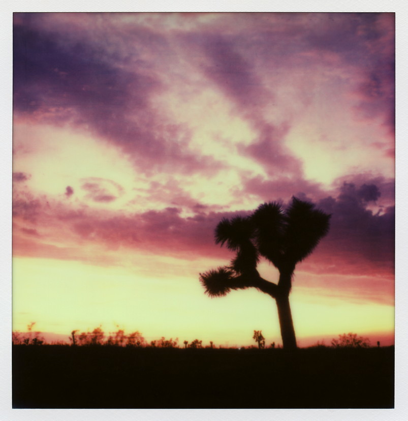
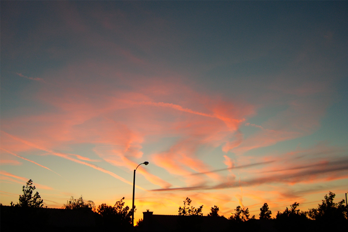
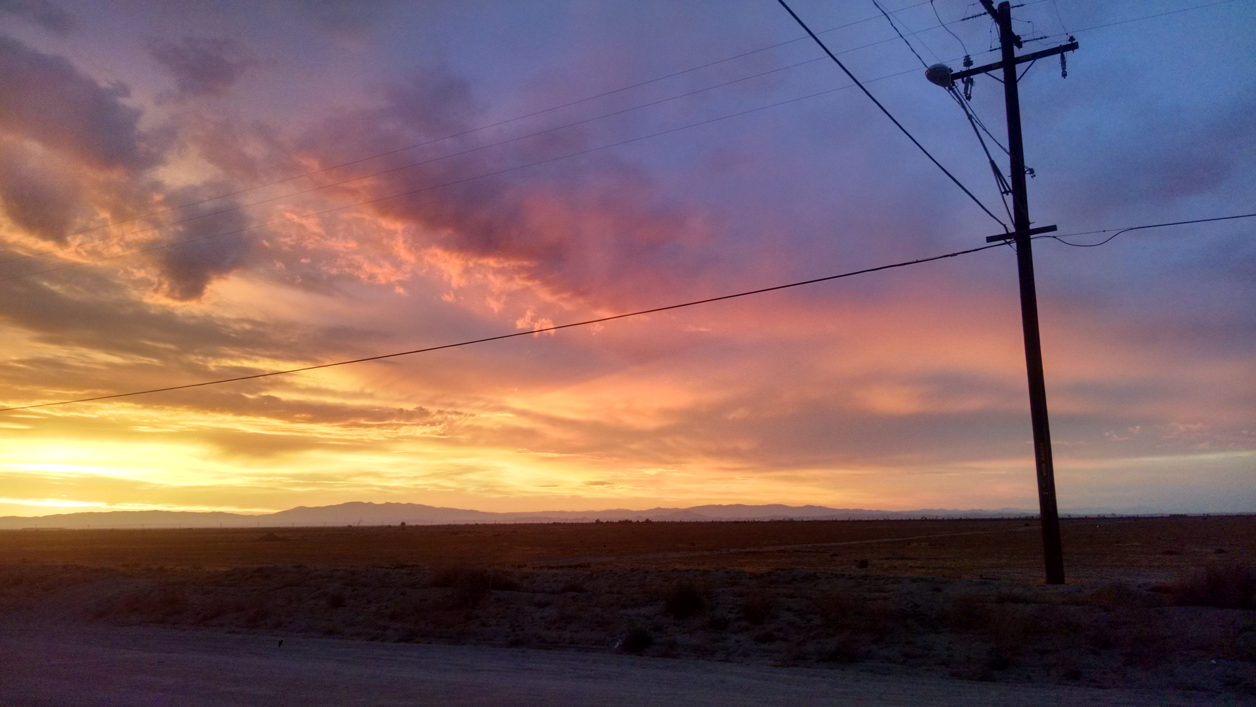
Pearblossom Highway Sunset

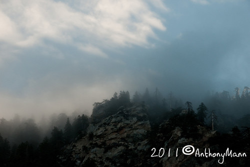
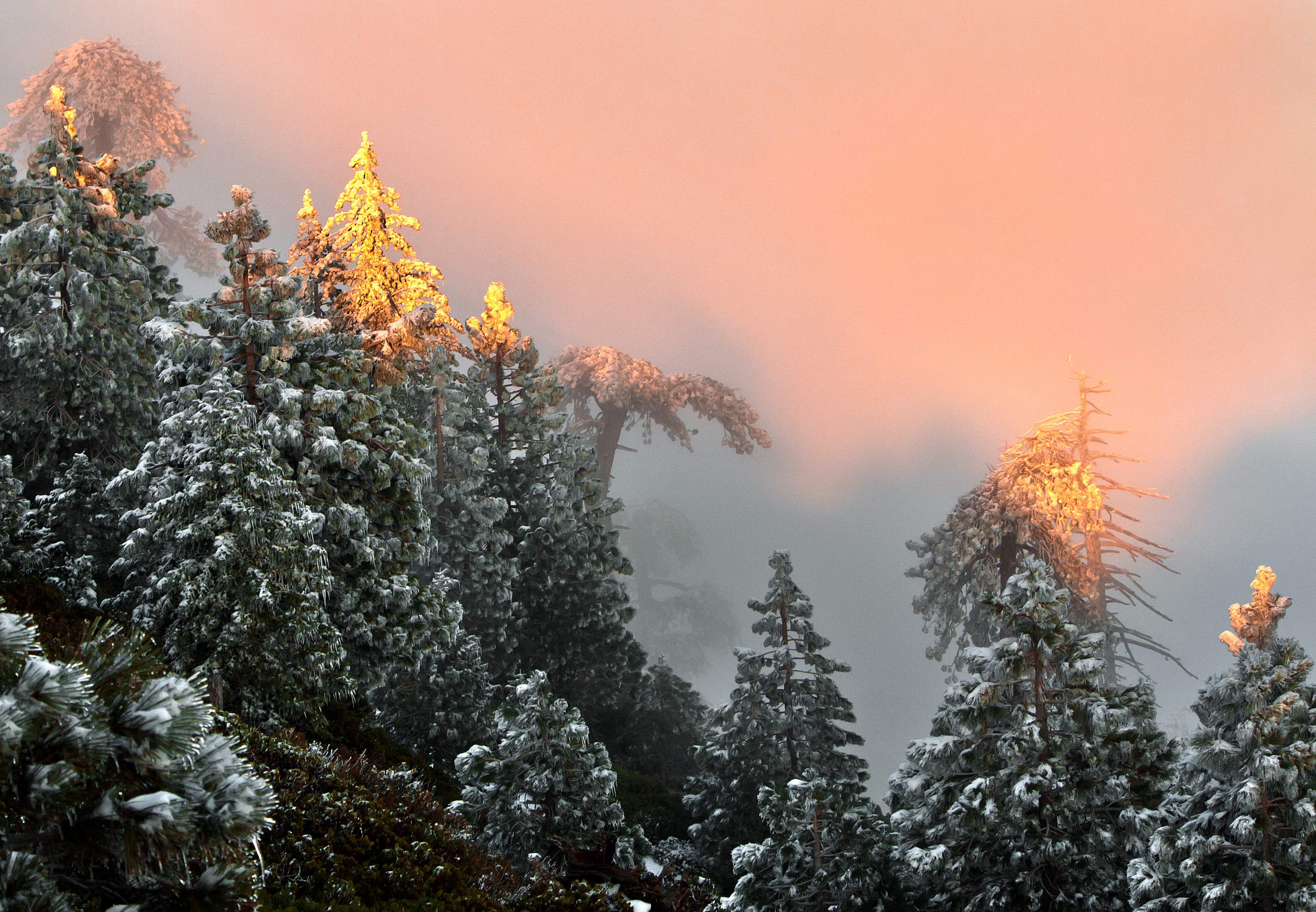
Fading Storm on Williamson [Explored]
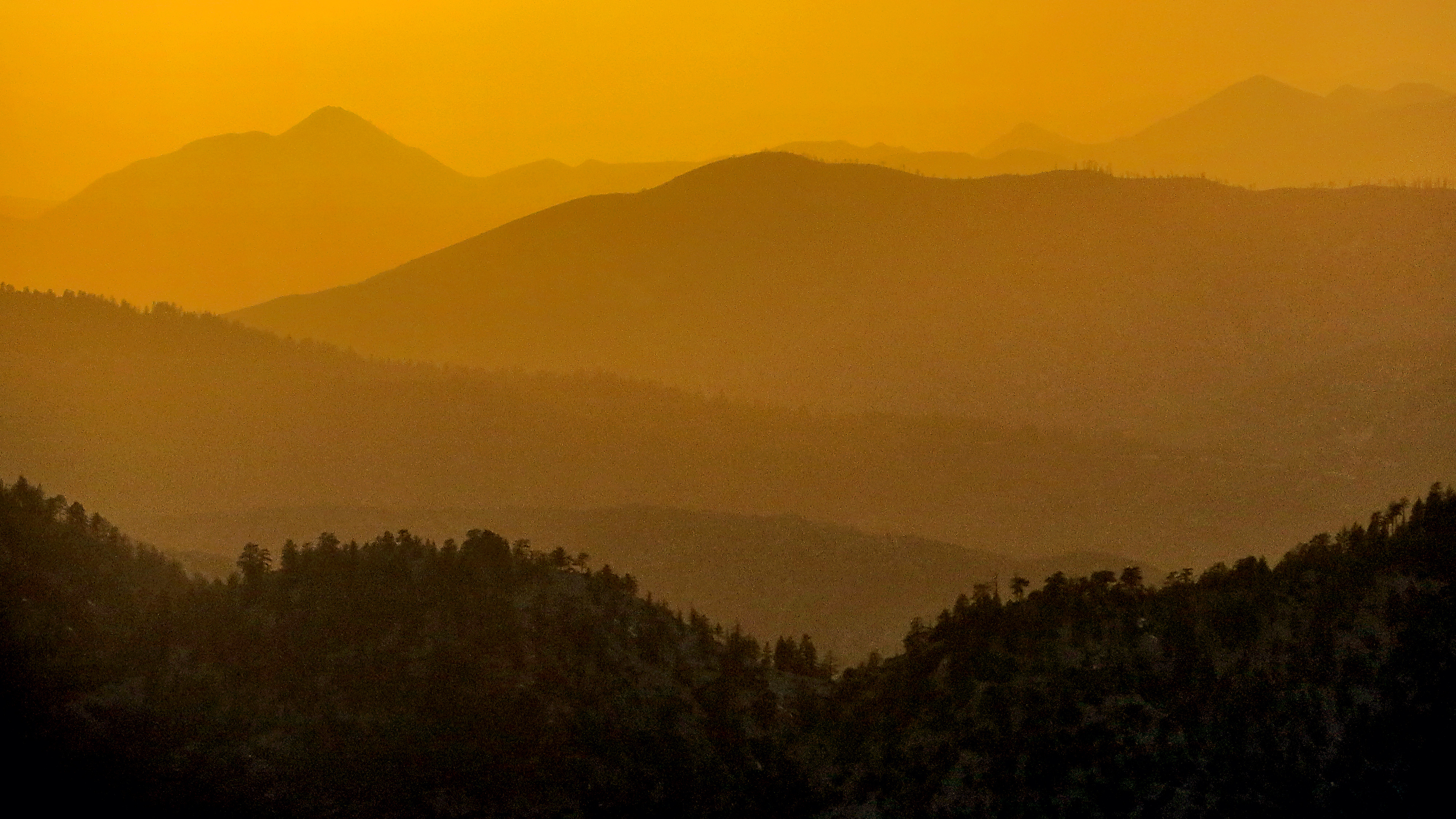
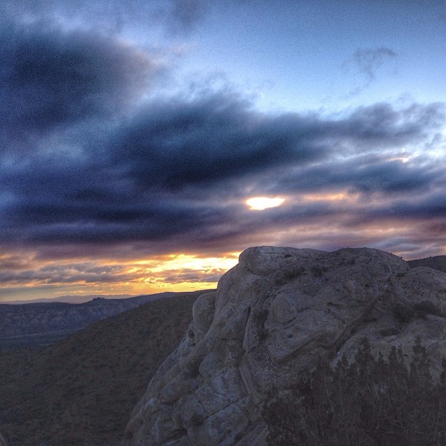
Tangerine Topography

Wake me when it's over [Explored]
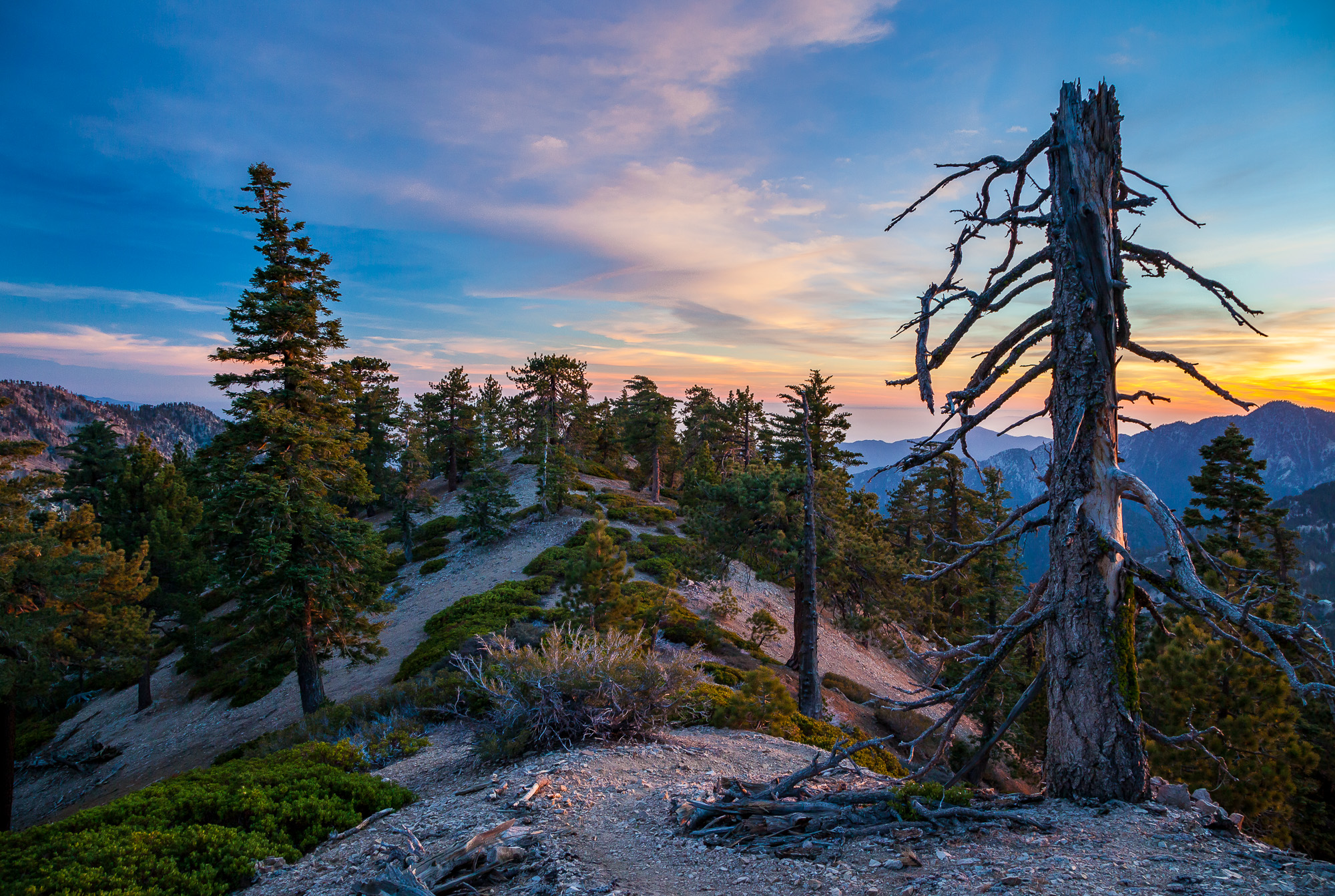
Sunrise on Twin Peaks
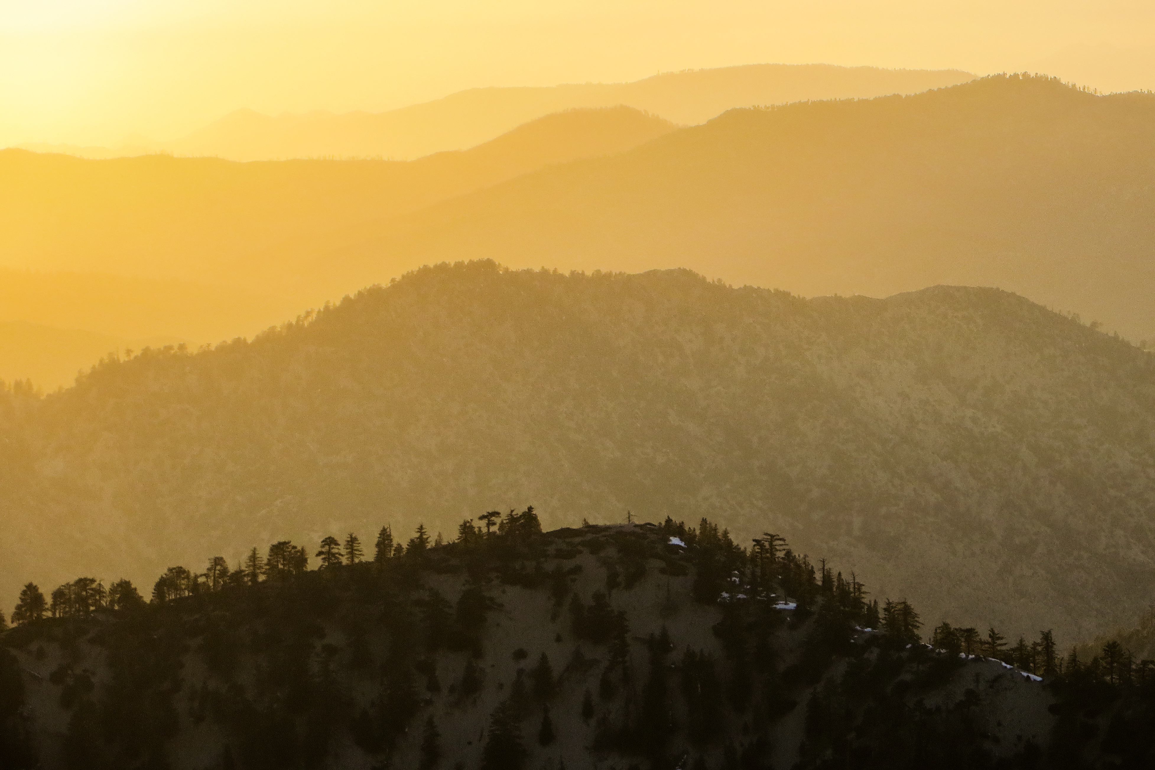
Sunset Haze on Williamson
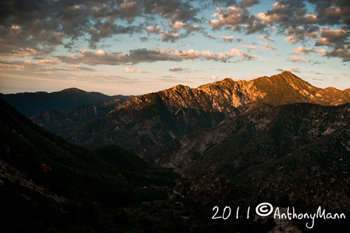
Mt. Islip Sunrise

Twin Peaks Sunrise

Clearing Storm, Mount Williamson

Darkness Sets
A Dream of Spring [Explored]

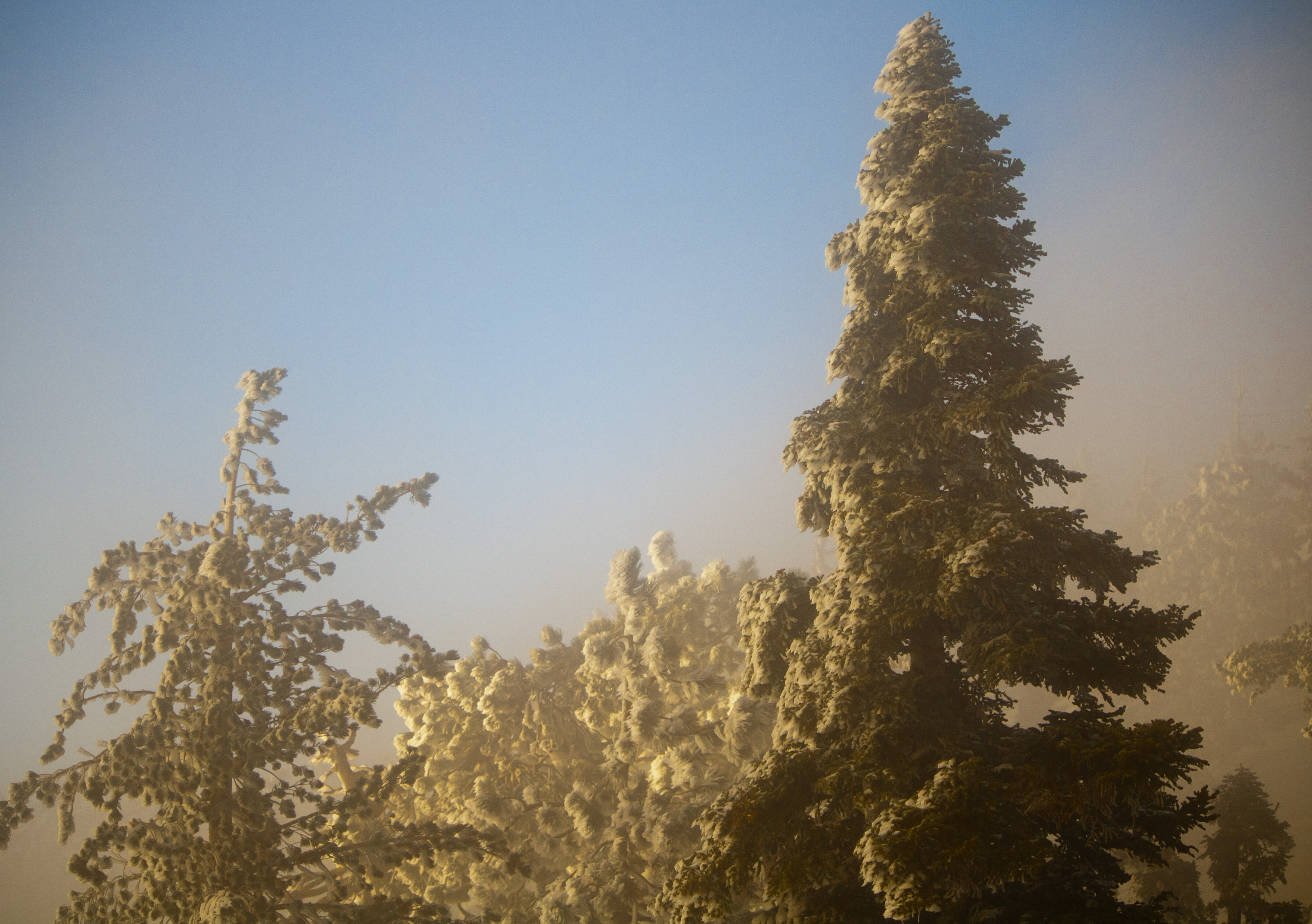
Lucid Winter Dream
Life is harsh on the ridge.
Past the Mission
Started super early this morning, before the sun came out.
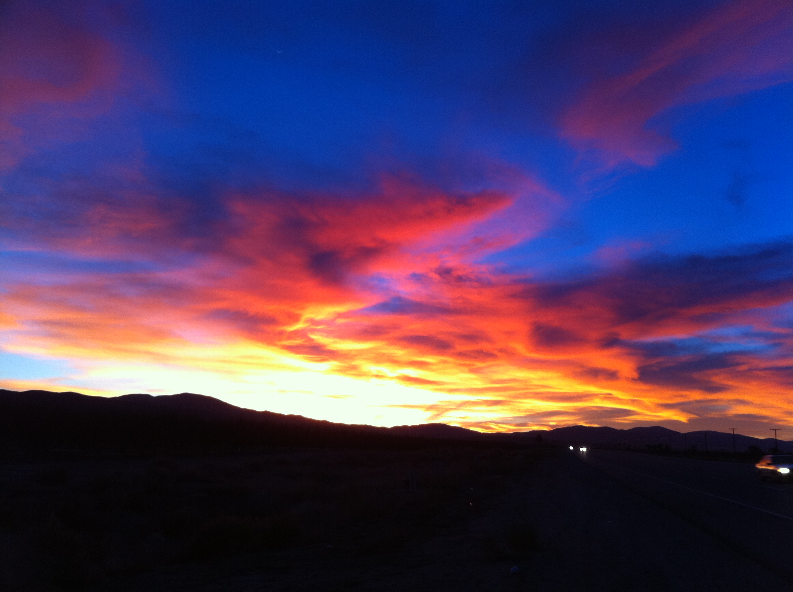
Memorial Day Sunset
Crisp Air
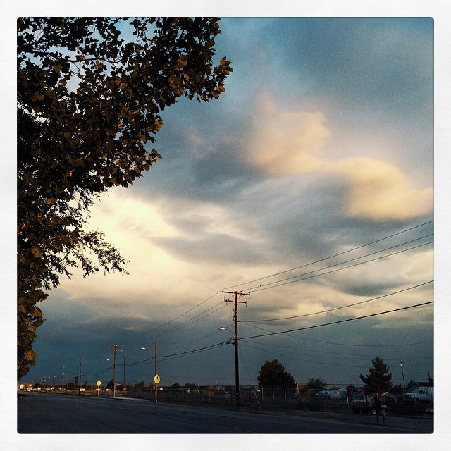
Lowering clouds in the west #VSCOCam #summerstorm
2015-06-28 20.14.05
Kissed with Pink
Fiery sunset

Valyermo Dawn
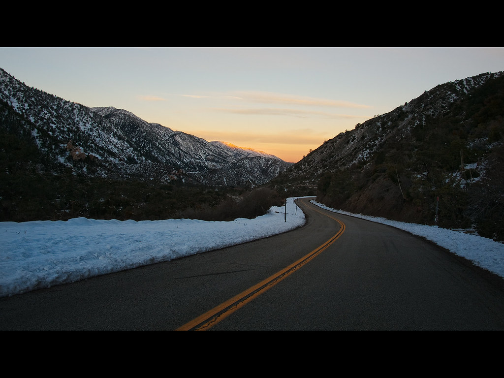
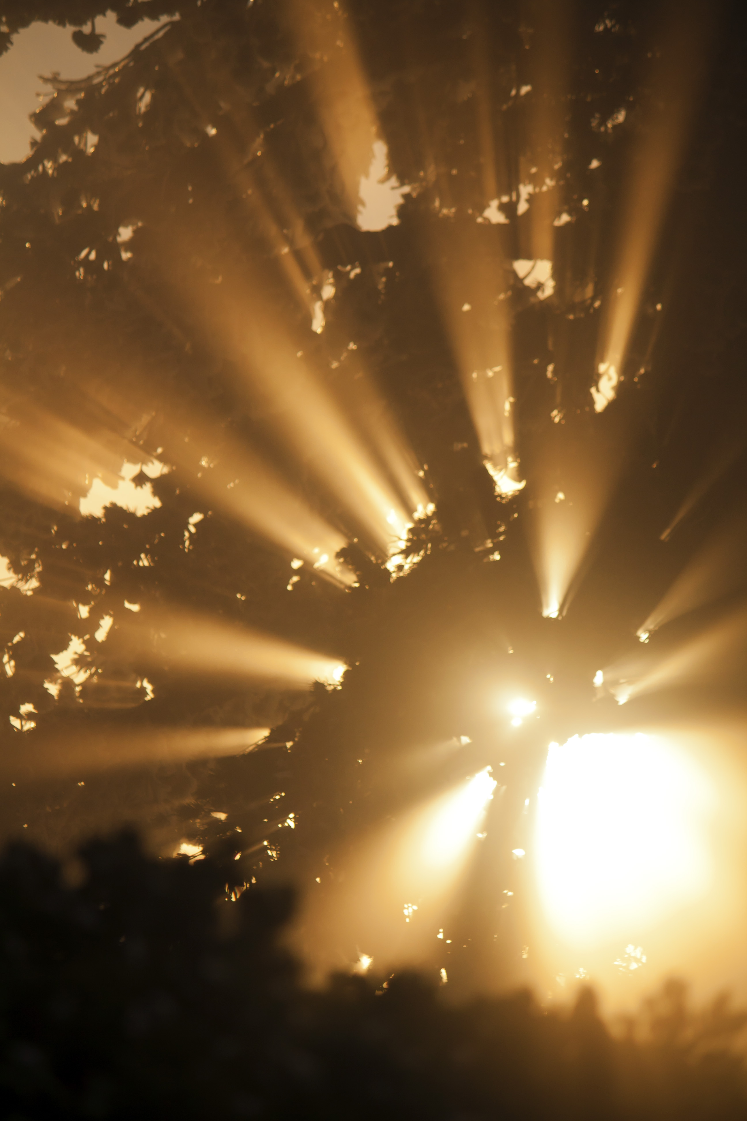
Canyon Light
Live 4eva
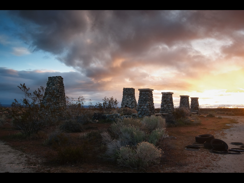
Four Aces (panorama)
#VSCOCam Desert sunrise
Swap Meet Sunrise
E Ave W 6, Pearblossom, CA アメリカ合衆国の地図
別の場所を検索
近所の場所
アメリカ合衆国 〒 カリフォルニア州 パーブロッサム
Fort Tejon Rd, Pearblossom, CA アメリカ合衆国
N Valyermo Rd, Valyermo, CA アメリカ合衆国
Boca Raton Ave, Llano, CA アメリカ合衆国ボカ・レイトン・アベニュー
96th St E, California アメリカ合衆国96th ストリート・イースト
E Ave X, Llano, CA アメリカ合衆国
アメリカ合衆国 〒 カリフォルニア州 ラノ
アメリカ合衆国 〒 カリフォルニア州 リトルロック
95th St E, Littlerock, CA アメリカ合衆国
90th St E, Littlerock, CA アメリカ合衆国
アメリカ合衆国 〒 カリフォルニア州 リトル・ロック貯水池
アメリカ合衆国 カリフォルニア州 レイク・ロス・エンジェルス
Cheseboro Rd, Palmdale, CA アメリカ合衆国
Boxthorn St, Palmdale, CA アメリカ合衆国
Palmdale Hills Dr, Palmdale, CA アメリカ合衆国
50th St E, Palmdale, CA アメリカ合衆国
アメリカ合衆国 〒 カリフォルニア州 パームデール
Sulphur Springs Rd, Palmdale, CA アメリカ合衆国
Mt Emma Rd, Palmdale, CA, アメリカ合衆国Mount Emma Road
Dedham Ct, Palmdale, CA アメリカ合衆国
最近の検索
- Lampiasi St, Sarasota, FL, USA日の出日の入り時間
- 日本、〒- 富山県富山市窪本町12−31 APAガーデンコート稲荷日の出日の入り時間
- 台湾 宜蘭県 大同郷Jialuohu日の出日の入り時間
- 日本、〒- 愛媛県今治市関前大下大下港日の出日の入り時間
- 日本、〒- 愛媛県今治市関前大下1930−1大下港フェリー乗り場日の出日の入り時間
- San Telmo, Buenos Aires, Argentina日の出日の入り時間
- Congressional Dr, Stevensville, MD アメリカ合衆国日の出日の入り時間
- ギリシャ 〒 04 パピンゴ日の出日の入り時間
- Kranto 7-oji g. 8"N, Kaunas, リトアニアPagonija rock日の出日の入り時間
- Co Rd 87, Jamestown, CO, USA日の出日の入り時間