Horas de salida y puesta de sol de Pearblossom, California, EE. UU.
Location: Estados Unidos > California > Condado de Los Ángeles >
Zona horaria:
America/Los_Angeles
Hora local:
2024-04-19 19:26:52
Longitud:
-117.9096804
Latitud:
34.5064141
Salida de sol de hoy:
06:12:36 AM
Puesta de sol de hoy:
07:28:05 PM
La duración del día hoy:
13h 15m 29s
Salida de sol de mañana:
06:11:25 AM
Puesta de sol de mañana:
07:28:52 PM
La duración del día mañana:
13h 17m 27s
Mostrar todas las fechas
| Fecha | Salida de sol | Puesta de sol | Duración del día |
|---|---|---|---|
| 01/01/2024 | 06:58:24 AM | 04:52:37 PM | 9h 54m 13s |
| 02/01/2024 | 06:58:33 AM | 04:53:23 PM | 9h 54m 50s |
| 03/01/2024 | 06:58:40 AM | 04:54:11 PM | 9h 55m 31s |
| 04/01/2024 | 06:58:46 AM | 04:55:00 PM | 9h 56m 14s |
| 05/01/2024 | 06:58:50 AM | 04:55:49 PM | 9h 56m 59s |
| 06/01/2024 | 06:58:51 AM | 04:56:40 PM | 9h 57m 49s |
| 07/01/2024 | 06:58:51 AM | 04:57:31 PM | 9h 58m 40s |
| 08/01/2024 | 06:58:49 AM | 04:58:24 PM | 9h 59m 35s |
| 09/01/2024 | 06:58:45 AM | 04:59:17 PM | 10h 0m 32s |
| 10/01/2024 | 06:58:39 AM | 05:00:11 PM | 10h 1m 32s |
| 11/01/2024 | 06:58:31 AM | 05:01:05 PM | 10h 2m 34s |
| 12/01/2024 | 06:58:22 AM | 05:02:01 PM | 10h 3m 39s |
| 13/01/2024 | 06:58:10 AM | 05:02:57 PM | 10h 4m 47s |
| 14/01/2024 | 06:57:57 AM | 05:03:53 PM | 10h 5m 56s |
| 15/01/2024 | 06:57:42 AM | 05:04:50 PM | 10h 7m 8s |
| 16/01/2024 | 06:57:25 AM | 05:05:48 PM | 10h 8m 23s |
| 17/01/2024 | 06:57:06 AM | 05:06:46 PM | 10h 9m 40s |
| 18/01/2024 | 06:56:45 AM | 05:07:44 PM | 10h 10m 59s |
| 19/01/2024 | 06:56:22 AM | 05:08:43 PM | 10h 12m 21s |
| 20/01/2024 | 06:55:58 AM | 05:09:42 PM | 10h 13m 44s |
| 21/01/2024 | 06:55:32 AM | 05:10:41 PM | 10h 15m 9s |
| 22/01/2024 | 06:55:04 AM | 05:11:41 PM | 10h 16m 37s |
| 23/01/2024 | 06:54:34 AM | 05:12:41 PM | 10h 18m 7s |
| 24/01/2024 | 06:54:02 AM | 05:13:40 PM | 10h 19m 38s |
| 25/01/2024 | 06:53:29 AM | 05:14:40 PM | 10h 21m 11s |
| 26/01/2024 | 06:52:54 AM | 05:15:41 PM | 10h 22m 47s |
| 27/01/2024 | 06:52:18 AM | 05:16:41 PM | 10h 24m 23s |
| 28/01/2024 | 06:51:40 AM | 05:17:41 PM | 10h 26m 1s |
| 29/01/2024 | 06:51:00 AM | 05:18:41 PM | 10h 27m 41s |
| 30/01/2024 | 06:50:19 AM | 05:19:41 PM | 10h 29m 22s |
| 31/01/2024 | 06:49:36 AM | 05:20:41 PM | 10h 31m 5s |
| 01/02/2024 | 06:48:51 AM | 05:21:41 PM | 10h 32m 50s |
| 02/02/2024 | 06:48:05 AM | 05:22:41 PM | 10h 34m 36s |
| 03/02/2024 | 06:47:18 AM | 05:23:41 PM | 10h 36m 23s |
| 04/02/2024 | 06:46:29 AM | 05:24:41 PM | 10h 38m 12s |
| 05/02/2024 | 06:45:38 AM | 05:25:40 PM | 10h 40m 2s |
| 06/02/2024 | 06:44:46 AM | 05:26:39 PM | 10h 41m 53s |
| 07/02/2024 | 06:43:53 AM | 05:27:38 PM | 10h 43m 45s |
| 08/02/2024 | 06:42:59 AM | 05:28:37 PM | 10h 45m 38s |
| 09/02/2024 | 06:42:03 AM | 05:29:36 PM | 10h 47m 33s |
| 10/02/2024 | 06:41:06 AM | 05:30:34 PM | 10h 49m 28s |
| 11/02/2024 | 06:40:07 AM | 05:31:32 PM | 10h 51m 25s |
| 12/02/2024 | 06:39:08 AM | 05:32:29 PM | 10h 53m 21s |
| 13/02/2024 | 06:38:07 AM | 05:33:27 PM | 10h 55m 20s |
| 14/02/2024 | 06:37:05 AM | 05:34:24 PM | 10h 57m 19s |
| 15/02/2024 | 06:36:02 AM | 05:35:21 PM | 10h 59m 19s |
| 16/02/2024 | 06:34:58 AM | 05:36:17 PM | 11h 1m 19s |
| 17/02/2024 | 06:33:53 AM | 05:37:13 PM | 11h 3m 20s |
| 18/02/2024 | 06:32:46 AM | 05:38:09 PM | 11h 5m 23s |
| 19/02/2024 | 06:31:39 AM | 05:39:04 PM | 11h 7m 25s |
| 20/02/2024 | 06:30:31 AM | 05:39:59 PM | 11h 9m 28s |
| 21/02/2024 | 06:29:21 AM | 05:40:54 PM | 11h 11m 33s |
| 22/02/2024 | 06:28:11 AM | 05:41:48 PM | 11h 13m 37s |
| 23/02/2024 | 06:27:00 AM | 05:42:42 PM | 11h 15m 42s |
| 24/02/2024 | 06:25:49 AM | 05:43:36 PM | 11h 17m 47s |
| 25/02/2024 | 06:24:36 AM | 05:44:30 PM | 11h 19m 54s |
| 26/02/2024 | 06:23:22 AM | 05:45:23 PM | 11h 22m 1s |
| 27/02/2024 | 06:22:08 AM | 05:46:15 PM | 11h 24m 7s |
| 28/02/2024 | 06:20:53 AM | 05:47:08 PM | 11h 26m 15s |
| 29/02/2024 | 06:19:38 AM | 05:48:00 PM | 11h 28m 22s |
| 01/03/2024 | 06:18:22 AM | 05:48:51 PM | 11h 30m 29s |
| 02/03/2024 | 06:17:05 AM | 05:49:43 PM | 11h 32m 38s |
| 03/03/2024 | 06:15:47 AM | 05:50:34 PM | 11h 34m 47s |
| 04/03/2024 | 06:14:29 AM | 05:51:25 PM | 11h 36m 56s |
| 05/03/2024 | 06:13:10 AM | 05:52:15 PM | 11h 39m 5s |
| 06/03/2024 | 06:11:51 AM | 05:53:05 PM | 11h 41m 14s |
| 07/03/2024 | 06:10:32 AM | 05:53:55 PM | 11h 43m 23s |
| 08/03/2024 | 06:09:12 AM | 05:54:45 PM | 11h 45m 33s |
| 09/03/2024 | 06:07:51 AM | 05:55:34 PM | 11h 47m 43s |
| 10/03/2024 | 07:06:34 AM | 06:56:22 PM | 11h 49m 48s |
| 11/03/2024 | 07:05:13 AM | 06:57:10 PM | 11h 51m 57s |
| 12/03/2024 | 07:03:51 AM | 06:57:59 PM | 11h 54m 8s |
| 13/03/2024 | 07:02:29 AM | 06:58:48 PM | 11h 56m 19s |
| 14/03/2024 | 07:01:07 AM | 06:59:36 PM | 11h 58m 29s |
| 15/03/2024 | 06:59:45 AM | 07:00:24 PM | 12h 0m 39s |
| 16/03/2024 | 06:58:23 AM | 07:01:12 PM | 12h 2m 49s |
| 17/03/2024 | 06:57:00 AM | 07:02:00 PM | 12h 5m 0s |
| 18/03/2024 | 06:55:37 AM | 07:02:47 PM | 12h 7m 10s |
| 19/03/2024 | 06:54:14 AM | 07:03:35 PM | 12h 9m 21s |
| 20/03/2024 | 06:52:51 AM | 07:04:22 PM | 12h 11m 31s |
| 21/03/2024 | 06:51:28 AM | 07:05:09 PM | 12h 13m 41s |
| 22/03/2024 | 06:50:05 AM | 07:05:56 PM | 12h 15m 51s |
| 23/03/2024 | 06:48:42 AM | 07:06:43 PM | 12h 18m 1s |
| 24/03/2024 | 06:47:19 AM | 07:07:30 PM | 12h 20m 11s |
| 25/03/2024 | 06:45:56 AM | 07:08:17 PM | 12h 22m 21s |
| 26/03/2024 | 06:44:33 AM | 07:09:04 PM | 12h 24m 31s |
| 27/03/2024 | 06:43:10 AM | 07:09:50 PM | 12h 26m 40s |
| 28/03/2024 | 06:41:47 AM | 07:10:37 PM | 12h 28m 50s |
| 29/03/2024 | 06:40:25 AM | 07:11:24 PM | 12h 30m 59s |
| 30/03/2024 | 06:39:02 AM | 07:12:10 PM | 12h 33m 8s |
| 31/03/2024 | 06:37:40 AM | 07:12:57 PM | 12h 35m 17s |
| 01/04/2024 | 06:36:19 AM | 07:13:43 PM | 12h 37m 24s |
| 02/04/2024 | 06:34:57 AM | 07:14:30 PM | 12h 39m 33s |
| 03/04/2024 | 06:33:36 AM | 07:15:16 PM | 12h 41m 40s |
| 04/04/2024 | 06:32:15 AM | 07:16:03 PM | 12h 43m 48s |
| 05/04/2024 | 06:30:54 AM | 07:16:50 PM | 12h 45m 56s |
| 06/04/2024 | 06:29:34 AM | 07:17:36 PM | 12h 48m 2s |
| 07/04/2024 | 06:28:15 AM | 07:18:23 PM | 12h 50m 8s |
| 08/04/2024 | 06:26:56 AM | 07:19:09 PM | 12h 52m 13s |
| 09/04/2024 | 06:25:37 AM | 07:19:56 PM | 12h 54m 19s |
| 10/04/2024 | 06:24:19 AM | 07:20:43 PM | 12h 56m 24s |
| 11/04/2024 | 06:23:01 AM | 07:21:30 PM | 12h 58m 29s |
| 12/04/2024 | 06:21:44 AM | 07:22:17 PM | 13h 0m 33s |
| 13/04/2024 | 06:20:28 AM | 07:23:04 PM | 13h 2m 36s |
| 14/04/2024 | 06:19:12 AM | 07:23:51 PM | 13h 4m 39s |
| 15/04/2024 | 06:17:57 AM | 07:24:38 PM | 13h 6m 41s |
| 16/04/2024 | 06:16:42 AM | 07:25:25 PM | 13h 8m 43s |
| 17/04/2024 | 06:15:28 AM | 07:26:12 PM | 13h 10m 44s |
| 18/04/2024 | 06:14:15 AM | 07:27:00 PM | 13h 12m 45s |
| 19/04/2024 | 06:13:03 AM | 07:27:47 PM | 13h 14m 44s |
| 20/04/2024 | 06:11:52 AM | 07:28:35 PM | 13h 16m 43s |
| 21/04/2024 | 06:10:41 AM | 07:29:22 PM | 13h 18m 41s |
| 22/04/2024 | 06:09:31 AM | 07:30:10 PM | 13h 20m 39s |
| 23/04/2024 | 06:08:23 AM | 07:30:57 PM | 13h 22m 34s |
| 24/04/2024 | 06:07:15 AM | 07:31:45 PM | 13h 24m 30s |
| 25/04/2024 | 06:06:08 AM | 07:32:33 PM | 13h 26m 25s |
| 26/04/2024 | 06:05:02 AM | 07:33:20 PM | 13h 28m 18s |
| 27/04/2024 | 06:03:57 AM | 07:34:08 PM | 13h 30m 11s |
| 28/04/2024 | 06:02:53 AM | 07:34:56 PM | 13h 32m 3s |
| 29/04/2024 | 06:01:50 AM | 07:35:44 PM | 13h 33m 54s |
| 30/04/2024 | 06:00:48 AM | 07:36:32 PM | 13h 35m 44s |
| 01/05/2024 | 05:59:47 AM | 07:37:19 PM | 13h 37m 32s |
| 02/05/2024 | 05:58:48 AM | 07:38:07 PM | 13h 39m 19s |
| 03/05/2024 | 05:57:49 AM | 07:38:55 PM | 13h 41m 6s |
| 04/05/2024 | 05:56:52 AM | 07:39:42 PM | 13h 42m 50s |
| 05/05/2024 | 05:55:56 AM | 07:40:30 PM | 13h 44m 34s |
| 06/05/2024 | 05:55:01 AM | 07:41:17 PM | 13h 46m 16s |
| 07/05/2024 | 05:54:08 AM | 07:42:05 PM | 13h 47m 57s |
| 08/05/2024 | 05:53:15 AM | 07:42:52 PM | 13h 49m 37s |
| 09/05/2024 | 05:52:24 AM | 07:43:39 PM | 13h 51m 15s |
| 10/05/2024 | 05:51:35 AM | 07:44:26 PM | 13h 52m 51s |
| 11/05/2024 | 05:50:46 AM | 07:45:12 PM | 13h 54m 26s |
| 12/05/2024 | 05:50:00 AM | 07:45:59 PM | 13h 55m 59s |
| 13/05/2024 | 05:49:14 AM | 07:46:45 PM | 13h 57m 31s |
| 14/05/2024 | 05:48:30 AM | 07:47:31 PM | 13h 59m 1s |
| 15/05/2024 | 05:47:47 AM | 07:48:16 PM | 14h 0m 29s |
| 16/05/2024 | 05:47:06 AM | 07:49:01 PM | 14h 1m 55s |
| 17/05/2024 | 05:46:26 AM | 07:49:46 PM | 14h 3m 20s |
| 18/05/2024 | 05:45:48 AM | 07:50:31 PM | 14h 4m 43s |
| 19/05/2024 | 05:45:11 AM | 07:51:15 PM | 14h 6m 4s |
| 20/05/2024 | 05:44:36 AM | 07:51:58 PM | 14h 7m 22s |
| 21/05/2024 | 05:44:02 AM | 07:52:41 PM | 14h 8m 39s |
| 22/05/2024 | 05:43:30 AM | 07:53:24 PM | 14h 9m 54s |
| 23/05/2024 | 05:43:00 AM | 07:54:06 PM | 14h 11m 6s |
| 24/05/2024 | 05:42:31 AM | 07:54:47 PM | 14h 12m 16s |
| 25/05/2024 | 05:42:03 AM | 07:55:28 PM | 14h 13m 25s |
| 26/05/2024 | 05:41:37 AM | 07:56:08 PM | 14h 14m 31s |
| 27/05/2024 | 05:41:13 AM | 07:56:48 PM | 14h 15m 35s |
| 28/05/2024 | 05:40:51 AM | 07:57:27 PM | 14h 16m 36s |
| 29/05/2024 | 05:40:30 AM | 07:58:05 PM | 14h 17m 35s |
| 30/05/2024 | 05:40:10 AM | 07:58:42 PM | 14h 18m 32s |
| 31/05/2024 | 05:39:52 AM | 07:59:18 PM | 14h 19m 26s |
| 01/06/2024 | 05:39:36 AM | 07:59:54 PM | 14h 20m 18s |
| 02/06/2024 | 05:39:22 AM | 08:00:28 PM | 14h 21m 6s |
| 03/06/2024 | 05:39:09 AM | 08:01:02 PM | 14h 21m 53s |
| 04/06/2024 | 05:38:58 AM | 08:01:35 PM | 14h 22m 37s |
| 05/06/2024 | 05:38:48 AM | 08:02:06 PM | 14h 23m 18s |
| 06/06/2024 | 05:38:40 AM | 08:02:37 PM | 14h 23m 57s |
| 07/06/2024 | 05:38:34 AM | 08:03:06 PM | 14h 24m 32s |
| 08/06/2024 | 05:38:29 AM | 08:03:35 PM | 14h 25m 6s |
| 09/06/2024 | 05:38:26 AM | 08:04:02 PM | 14h 25m 36s |
| 10/06/2024 | 05:38:24 AM | 08:04:28 PM | 14h 26m 4s |
| 11/06/2024 | 05:38:24 AM | 08:04:53 PM | 14h 26m 29s |
| 12/06/2024 | 05:38:26 AM | 08:05:17 PM | 14h 26m 51s |
| 13/06/2024 | 05:38:29 AM | 08:05:39 PM | 14h 27m 10s |
| 14/06/2024 | 05:38:33 AM | 08:06:00 PM | 14h 27m 27s |
| 15/06/2024 | 05:38:40 AM | 08:06:20 PM | 14h 27m 40s |
| 16/06/2024 | 05:38:47 AM | 08:06:38 PM | 14h 27m 51s |
| 17/06/2024 | 05:38:56 AM | 08:06:55 PM | 14h 27m 59s |
| 18/06/2024 | 05:39:07 AM | 08:07:11 PM | 14h 28m 4s |
| 19/06/2024 | 05:39:19 AM | 08:07:25 PM | 14h 28m 6s |
| 20/06/2024 | 05:39:32 AM | 08:07:38 PM | 14h 28m 6s |
| 21/06/2024 | 05:39:47 AM | 08:07:49 PM | 14h 28m 2s |
| 22/06/2024 | 05:40:03 AM | 08:07:59 PM | 14h 27m 56s |
| 23/06/2024 | 05:40:21 AM | 08:08:07 PM | 14h 27m 46s |
| 24/06/2024 | 05:40:40 AM | 08:08:13 PM | 14h 27m 33s |
| 25/06/2024 | 05:41:00 AM | 08:08:18 PM | 14h 27m 18s |
| 26/06/2024 | 05:41:21 AM | 08:08:22 PM | 14h 27m 1s |
| 27/06/2024 | 05:41:44 AM | 08:08:24 PM | 14h 26m 40s |
| 28/06/2024 | 05:42:08 AM | 08:08:24 PM | 14h 26m 16s |
| 29/06/2024 | 05:42:32 AM | 08:08:23 PM | 14h 25m 51s |
| 30/06/2024 | 05:42:58 AM | 08:08:20 PM | 14h 25m 22s |
| 01/07/2024 | 05:43:26 AM | 08:08:15 PM | 14h 24m 49s |
| 02/07/2024 | 05:43:54 AM | 08:08:09 PM | 14h 24m 15s |
| 03/07/2024 | 05:44:23 AM | 08:08:01 PM | 14h 23m 38s |
| 04/07/2024 | 05:44:53 AM | 08:07:51 PM | 14h 22m 58s |
| 05/07/2024 | 05:45:24 AM | 08:07:40 PM | 14h 22m 16s |
| 06/07/2024 | 05:45:56 AM | 08:07:27 PM | 14h 21m 31s |
| 07/07/2024 | 05:46:29 AM | 08:07:12 PM | 14h 20m 43s |
| 08/07/2024 | 05:47:03 AM | 08:06:56 PM | 14h 19m 53s |
| 09/07/2024 | 05:47:38 AM | 08:06:38 PM | 14h 19m 0s |
| 10/07/2024 | 05:48:13 AM | 08:06:18 PM | 14h 18m 5s |
| 11/07/2024 | 05:48:49 AM | 08:05:57 PM | 14h 17m 8s |
| 12/07/2024 | 05:49:26 AM | 08:05:34 PM | 14h 16m 8s |
| 13/07/2024 | 05:50:03 AM | 08:05:09 PM | 14h 15m 6s |
| 14/07/2024 | 05:50:41 AM | 08:04:43 PM | 14h 14m 2s |
| 15/07/2024 | 05:51:20 AM | 08:04:15 PM | 14h 12m 55s |
| 16/07/2024 | 05:51:59 AM | 08:03:46 PM | 14h 11m 47s |
| 17/07/2024 | 05:52:39 AM | 08:03:15 PM | 14h 10m 36s |
| 18/07/2024 | 05:53:19 AM | 08:02:42 PM | 14h 9m 23s |
| 19/07/2024 | 05:54:00 AM | 08:02:08 PM | 14h 8m 8s |
| 20/07/2024 | 05:54:41 AM | 08:01:32 PM | 14h 6m 51s |
| 21/07/2024 | 05:55:23 AM | 08:00:55 PM | 14h 5m 32s |
| 22/07/2024 | 05:56:05 AM | 08:00:16 PM | 14h 4m 11s |
| 23/07/2024 | 05:56:47 AM | 07:59:35 PM | 14h 2m 48s |
| 24/07/2024 | 05:57:30 AM | 07:58:53 PM | 14h 1m 23s |
| 25/07/2024 | 05:58:13 AM | 07:58:10 PM | 13h 59m 57s |
| 26/07/2024 | 05:58:56 AM | 07:57:25 PM | 13h 58m 29s |
| 27/07/2024 | 05:59:39 AM | 07:56:39 PM | 13h 57m 0s |
| 28/07/2024 | 06:00:23 AM | 07:55:51 PM | 13h 55m 28s |
| 29/07/2024 | 06:01:07 AM | 07:55:02 PM | 13h 53m 55s |
| 30/07/2024 | 06:01:51 AM | 07:54:11 PM | 13h 52m 20s |
| 31/07/2024 | 06:02:35 AM | 07:53:19 PM | 13h 50m 44s |
| 01/08/2024 | 06:03:19 AM | 07:52:26 PM | 13h 49m 7s |
| 02/08/2024 | 06:04:03 AM | 07:51:31 PM | 13h 47m 28s |
| 03/08/2024 | 06:04:48 AM | 07:50:36 PM | 13h 45m 48s |
| 04/08/2024 | 06:05:32 AM | 07:49:39 PM | 13h 44m 7s |
| 05/08/2024 | 06:06:17 AM | 07:48:40 PM | 13h 42m 23s |
| 06/08/2024 | 06:07:01 AM | 07:47:41 PM | 13h 40m 40s |
| 07/08/2024 | 06:07:46 AM | 07:46:40 PM | 13h 38m 54s |
| 08/08/2024 | 06:08:30 AM | 07:45:38 PM | 13h 37m 8s |
| 09/08/2024 | 06:09:15 AM | 07:44:35 PM | 13h 35m 20s |
| 10/08/2024 | 06:09:59 AM | 07:43:31 PM | 13h 33m 32s |
| 11/08/2024 | 06:10:43 AM | 07:42:26 PM | 13h 31m 43s |
| 12/08/2024 | 06:11:28 AM | 07:41:20 PM | 13h 29m 52s |
| 13/08/2024 | 06:12:12 AM | 07:40:12 PM | 13h 28m 0s |
| 14/08/2024 | 06:12:56 AM | 07:39:04 PM | 13h 26m 8s |
| 15/08/2024 | 06:13:41 AM | 07:37:55 PM | 13h 24m 14s |
| 16/08/2024 | 06:14:25 AM | 07:36:45 PM | 13h 22m 20s |
| 17/08/2024 | 06:15:09 AM | 07:35:34 PM | 13h 20m 25s |
| 18/08/2024 | 06:15:53 AM | 07:34:22 PM | 13h 18m 29s |
| 19/08/2024 | 06:16:36 AM | 07:33:09 PM | 13h 16m 33s |
| 20/08/2024 | 06:17:20 AM | 07:31:55 PM | 13h 14m 35s |
| 21/08/2024 | 06:18:04 AM | 07:30:41 PM | 13h 12m 37s |
| 22/08/2024 | 06:18:47 AM | 07:29:26 PM | 13h 10m 39s |
| 23/08/2024 | 06:19:31 AM | 07:28:10 PM | 13h 8m 39s |
| 24/08/2024 | 06:20:14 AM | 07:26:53 PM | 13h 6m 39s |
| 25/08/2024 | 06:20:57 AM | 07:25:36 PM | 13h 4m 39s |
| 26/08/2024 | 06:21:40 AM | 07:24:18 PM | 13h 2m 38s |
| 27/08/2024 | 06:22:23 AM | 07:22:59 PM | 13h 0m 36s |
| 28/08/2024 | 06:23:06 AM | 07:21:40 PM | 12h 58m 34s |
| 29/08/2024 | 06:23:49 AM | 07:20:20 PM | 12h 56m 31s |
| 30/08/2024 | 06:24:32 AM | 07:18:59 PM | 12h 54m 27s |
| 31/08/2024 | 06:25:14 AM | 07:17:38 PM | 12h 52m 24s |
| 01/09/2024 | 06:25:57 AM | 07:16:17 PM | 12h 50m 20s |
| 02/09/2024 | 06:26:40 AM | 07:14:55 PM | 12h 48m 15s |
| 03/09/2024 | 06:27:22 AM | 07:13:33 PM | 12h 46m 11s |
| 04/09/2024 | 06:28:04 AM | 07:12:10 PM | 12h 44m 6s |
| 05/09/2024 | 06:28:47 AM | 07:10:47 PM | 12h 42m 0s |
| 06/09/2024 | 06:29:29 AM | 07:09:23 PM | 12h 39m 54s |
| 07/09/2024 | 06:30:11 AM | 07:08:00 PM | 12h 37m 49s |
| 08/09/2024 | 06:30:54 AM | 07:06:36 PM | 12h 35m 42s |
| 09/09/2024 | 06:31:36 AM | 07:05:11 PM | 12h 33m 35s |
| 10/09/2024 | 06:32:18 AM | 07:03:47 PM | 12h 31m 29s |
| 11/09/2024 | 06:33:01 AM | 07:02:22 PM | 12h 29m 21s |
| 12/09/2024 | 06:33:43 AM | 07:00:57 PM | 12h 27m 14s |
| 13/09/2024 | 06:34:25 AM | 06:59:32 PM | 12h 25m 7s |
| 14/09/2024 | 06:35:08 AM | 06:58:06 PM | 12h 22m 58s |
| 15/09/2024 | 06:35:50 AM | 06:56:41 PM | 12h 20m 51s |
| 16/09/2024 | 06:36:33 AM | 06:55:16 PM | 12h 18m 43s |
| 17/09/2024 | 06:37:15 AM | 06:53:50 PM | 12h 16m 35s |
| 18/09/2024 | 06:37:58 AM | 06:52:25 PM | 12h 14m 27s |
| 19/09/2024 | 06:38:41 AM | 06:50:59 PM | 12h 12m 18s |
| 20/09/2024 | 06:39:24 AM | 06:49:34 PM | 12h 10m 10s |
| 21/09/2024 | 06:40:07 AM | 06:48:09 PM | 12h 8m 2s |
| 22/09/2024 | 06:40:50 AM | 06:46:43 PM | 12h 5m 53s |
| 23/09/2024 | 06:41:33 AM | 06:45:18 PM | 12h 3m 45s |
| 24/09/2024 | 06:42:17 AM | 06:43:53 PM | 12h 1m 36s |
| 25/09/2024 | 06:43:00 AM | 06:42:29 PM | 11h 59m 29s |
| 26/09/2024 | 06:43:44 AM | 06:41:04 PM | 11h 57m 20s |
| 27/09/2024 | 06:44:28 AM | 06:39:40 PM | 11h 55m 12s |
| 28/09/2024 | 06:45:13 AM | 06:38:16 PM | 11h 53m 3s |
| 29/09/2024 | 06:45:57 AM | 06:36:52 PM | 11h 50m 55s |
| 30/09/2024 | 06:46:42 AM | 06:35:29 PM | 11h 48m 47s |
| 01/10/2024 | 06:47:27 AM | 06:34:06 PM | 11h 46m 39s |
| 02/10/2024 | 06:48:12 AM | 06:32:43 PM | 11h 44m 31s |
| 03/10/2024 | 06:48:58 AM | 06:31:21 PM | 11h 42m 23s |
| 04/10/2024 | 06:49:43 AM | 06:29:59 PM | 11h 40m 16s |
| 05/10/2024 | 06:50:29 AM | 06:28:38 PM | 11h 38m 9s |
| 06/10/2024 | 06:51:16 AM | 06:27:17 PM | 11h 36m 1s |
| 07/10/2024 | 06:52:02 AM | 06:25:57 PM | 11h 33m 55s |
| 08/10/2024 | 06:52:49 AM | 06:24:38 PM | 11h 31m 49s |
| 09/10/2024 | 06:53:37 AM | 06:23:19 PM | 11h 29m 42s |
| 10/10/2024 | 06:54:24 AM | 06:22:00 PM | 11h 27m 36s |
| 11/10/2024 | 06:55:12 AM | 06:20:43 PM | 11h 25m 31s |
| 12/10/2024 | 06:56:01 AM | 06:19:26 PM | 11h 23m 25s |
| 13/10/2024 | 06:56:49 AM | 06:18:09 PM | 11h 21m 20s |
| 14/10/2024 | 06:57:38 AM | 06:16:54 PM | 11h 19m 16s |
| 15/10/2024 | 06:58:28 AM | 06:15:39 PM | 11h 17m 11s |
| 16/10/2024 | 06:59:18 AM | 06:14:25 PM | 11h 15m 7s |
| 17/10/2024 | 07:00:08 AM | 06:13:12 PM | 11h 13m 4s |
| 18/10/2024 | 07:00:58 AM | 06:12:00 PM | 11h 11m 2s |
| 19/10/2024 | 07:01:49 AM | 06:10:49 PM | 11h 9m 0s |
| 20/10/2024 | 07:02:40 AM | 06:09:38 PM | 11h 6m 58s |
| 21/10/2024 | 07:03:32 AM | 06:08:29 PM | 11h 4m 57s |
| 22/10/2024 | 07:04:24 AM | 06:07:21 PM | 11h 2m 57s |
| 23/10/2024 | 07:05:16 AM | 06:06:14 PM | 11h 0m 58s |
| 24/10/2024 | 07:06:09 AM | 06:05:07 PM | 10h 58m 58s |
| 25/10/2024 | 07:07:02 AM | 06:04:02 PM | 10h 57m 0s |
| 26/10/2024 | 07:07:55 AM | 06:02:58 PM | 10h 55m 3s |
| 27/10/2024 | 07:08:49 AM | 06:01:55 PM | 10h 53m 6s |
| 28/10/2024 | 07:09:43 AM | 06:00:54 PM | 10h 51m 11s |
| 29/10/2024 | 07:10:38 AM | 05:59:53 PM | 10h 49m 15s |
| 30/10/2024 | 07:11:32 AM | 05:58:54 PM | 10h 47m 22s |
| 31/10/2024 | 07:12:27 AM | 05:57:56 PM | 10h 45m 29s |
| 01/11/2024 | 07:13:23 AM | 05:57:00 PM | 10h 43m 37s |
| 02/11/2024 | 07:14:18 AM | 05:56:05 PM | 10h 41m 47s |
| 03/11/2024 | 06:15:17 AM | 04:55:09 PM | 10h 39m 52s |
| 04/11/2024 | 06:16:13 AM | 04:54:16 PM | 10h 38m 3s |
| 05/11/2024 | 06:17:09 AM | 04:53:25 PM | 10h 36m 16s |
| 06/11/2024 | 06:18:06 AM | 04:52:36 PM | 10h 34m 30s |
| 07/11/2024 | 06:19:03 AM | 04:51:48 PM | 10h 32m 45s |
| 08/11/2024 | 06:19:59 AM | 04:51:02 PM | 10h 31m 3s |
| 09/11/2024 | 06:20:57 AM | 04:50:17 PM | 10h 29m 20s |
| 10/11/2024 | 06:21:54 AM | 04:49:33 PM | 10h 27m 39s |
| 11/11/2024 | 06:22:51 AM | 04:48:52 PM | 10h 26m 1s |
| 12/11/2024 | 06:23:48 AM | 04:48:12 PM | 10h 24m 24s |
| 13/11/2024 | 06:24:46 AM | 04:47:33 PM | 10h 22m 47s |
| 14/11/2024 | 06:25:43 AM | 04:46:57 PM | 10h 21m 14s |
| 15/11/2024 | 06:26:41 AM | 04:46:22 PM | 10h 19m 41s |
| 16/11/2024 | 06:27:38 AM | 04:45:48 PM | 10h 18m 10s |
| 17/11/2024 | 06:28:35 AM | 04:45:17 PM | 10h 16m 42s |
| 18/11/2024 | 06:29:32 AM | 04:44:47 PM | 10h 15m 15s |
| 19/11/2024 | 06:30:29 AM | 04:44:19 PM | 10h 13m 50s |
| 20/11/2024 | 06:31:26 AM | 04:43:53 PM | 10h 12m 27s |
| 21/11/2024 | 06:32:23 AM | 04:43:28 PM | 10h 11m 5s |
| 22/11/2024 | 06:33:19 AM | 04:43:06 PM | 10h 9m 47s |
| 23/11/2024 | 06:34:15 AM | 04:42:45 PM | 10h 8m 30s |
| 24/11/2024 | 06:35:10 AM | 04:42:26 PM | 10h 7m 16s |
| 25/11/2024 | 06:36:06 AM | 04:42:10 PM | 10h 6m 4s |
| 26/11/2024 | 06:37:00 AM | 04:41:55 PM | 10h 4m 55s |
| 27/11/2024 | 06:37:55 AM | 04:41:41 PM | 10h 3m 46s |
| 28/11/2024 | 06:38:48 AM | 04:41:30 PM | 10h 2m 42s |
| 29/11/2024 | 06:39:41 AM | 04:41:21 PM | 10h 1m 40s |
| 30/11/2024 | 06:40:34 AM | 04:41:14 PM | 10h 0m 40s |
| 01/12/2024 | 06:41:26 AM | 04:41:08 PM | 9h 59m 42s |
| 02/12/2024 | 06:42:17 AM | 04:41:05 PM | 9h 58m 48s |
| 03/12/2024 | 06:43:07 AM | 04:41:03 PM | 9h 57m 56s |
| 04/12/2024 | 06:43:57 AM | 04:41:04 PM | 9h 57m 7s |
| 05/12/2024 | 06:44:45 AM | 04:41:06 PM | 9h 56m 21s |
| 06/12/2024 | 06:45:33 AM | 04:41:10 PM | 9h 55m 37s |
| 07/12/2024 | 06:46:20 AM | 04:41:16 PM | 9h 54m 56s |
| 08/12/2024 | 06:47:05 AM | 04:41:24 PM | 9h 54m 19s |
| 09/12/2024 | 06:47:50 AM | 04:41:34 PM | 9h 53m 44s |
| 10/12/2024 | 06:48:34 AM | 04:41:46 PM | 9h 53m 12s |
| 11/12/2024 | 06:49:16 AM | 04:42:00 PM | 9h 52m 44s |
| 12/12/2024 | 06:49:57 AM | 04:42:15 PM | 9h 52m 18s |
| 13/12/2024 | 06:50:37 AM | 04:42:33 PM | 9h 51m 56s |
| 14/12/2024 | 06:51:16 AM | 04:42:52 PM | 9h 51m 36s |
| 15/12/2024 | 06:51:53 AM | 04:43:13 PM | 9h 51m 20s |
| 16/12/2024 | 06:52:29 AM | 04:43:36 PM | 9h 51m 7s |
| 17/12/2024 | 06:53:04 AM | 04:44:00 PM | 9h 50m 56s |
| 18/12/2024 | 06:53:37 AM | 04:44:26 PM | 9h 50m 49s |
| 19/12/2024 | 06:54:09 AM | 04:44:54 PM | 9h 50m 45s |
| 20/12/2024 | 06:54:39 AM | 04:45:24 PM | 9h 50m 45s |
| 21/12/2024 | 06:55:08 AM | 04:45:55 PM | 9h 50m 47s |
| 22/12/2024 | 06:55:35 AM | 04:46:27 PM | 9h 50m 52s |
| 23/12/2024 | 06:56:00 AM | 04:47:02 PM | 9h 51m 2s |
| 24/12/2024 | 06:56:24 AM | 04:47:37 PM | 9h 51m 13s |
| 25/12/2024 | 06:56:46 AM | 04:48:14 PM | 9h 51m 28s |
| 26/12/2024 | 06:57:06 AM | 04:48:53 PM | 9h 51m 47s |
| 27/12/2024 | 06:57:25 AM | 04:49:33 PM | 9h 52m 8s |
| 28/12/2024 | 06:57:42 AM | 04:50:14 PM | 9h 52m 32s |
| 29/12/2024 | 06:57:57 AM | 04:50:57 PM | 9h 53m 0s |
| 30/12/2024 | 06:58:10 AM | 04:51:41 PM | 9h 53m 31s |
Fotos
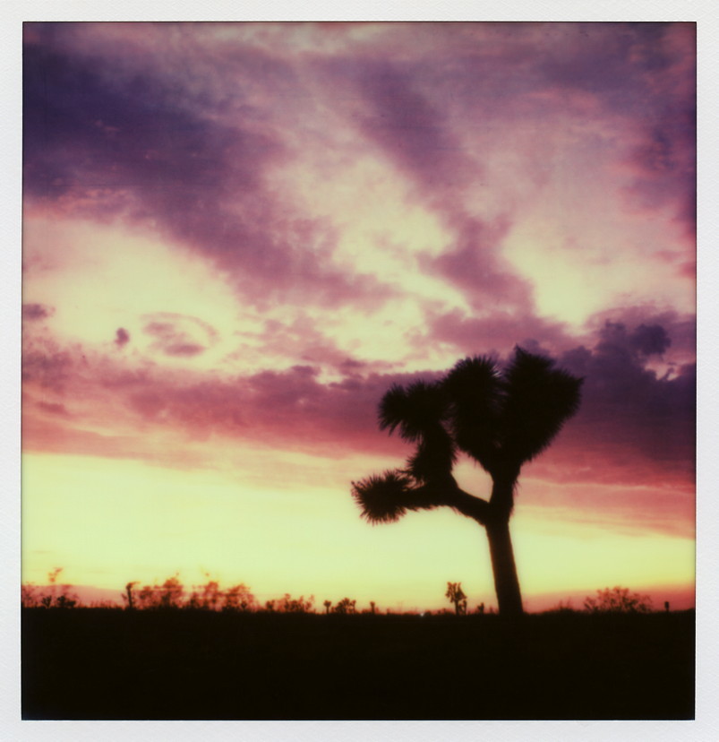
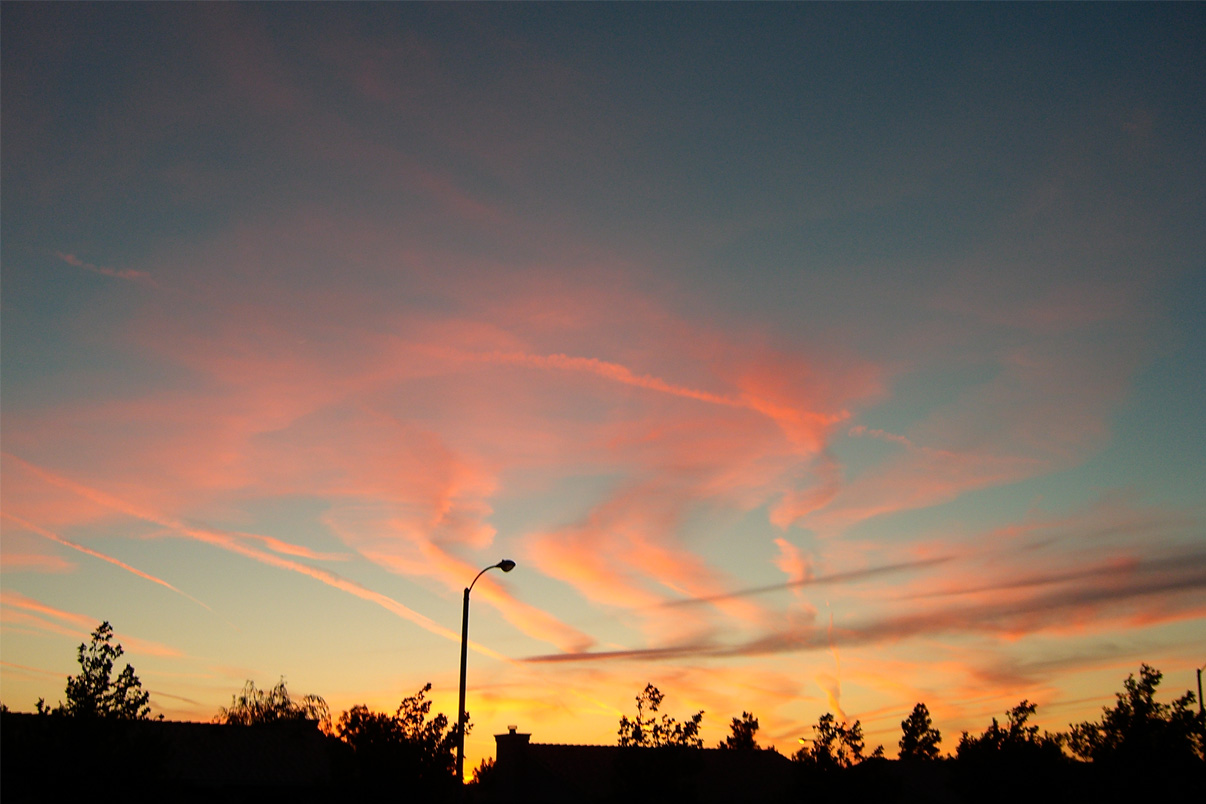
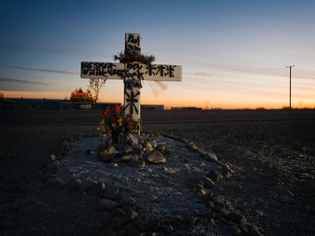
Pearblossom Highway Sunset

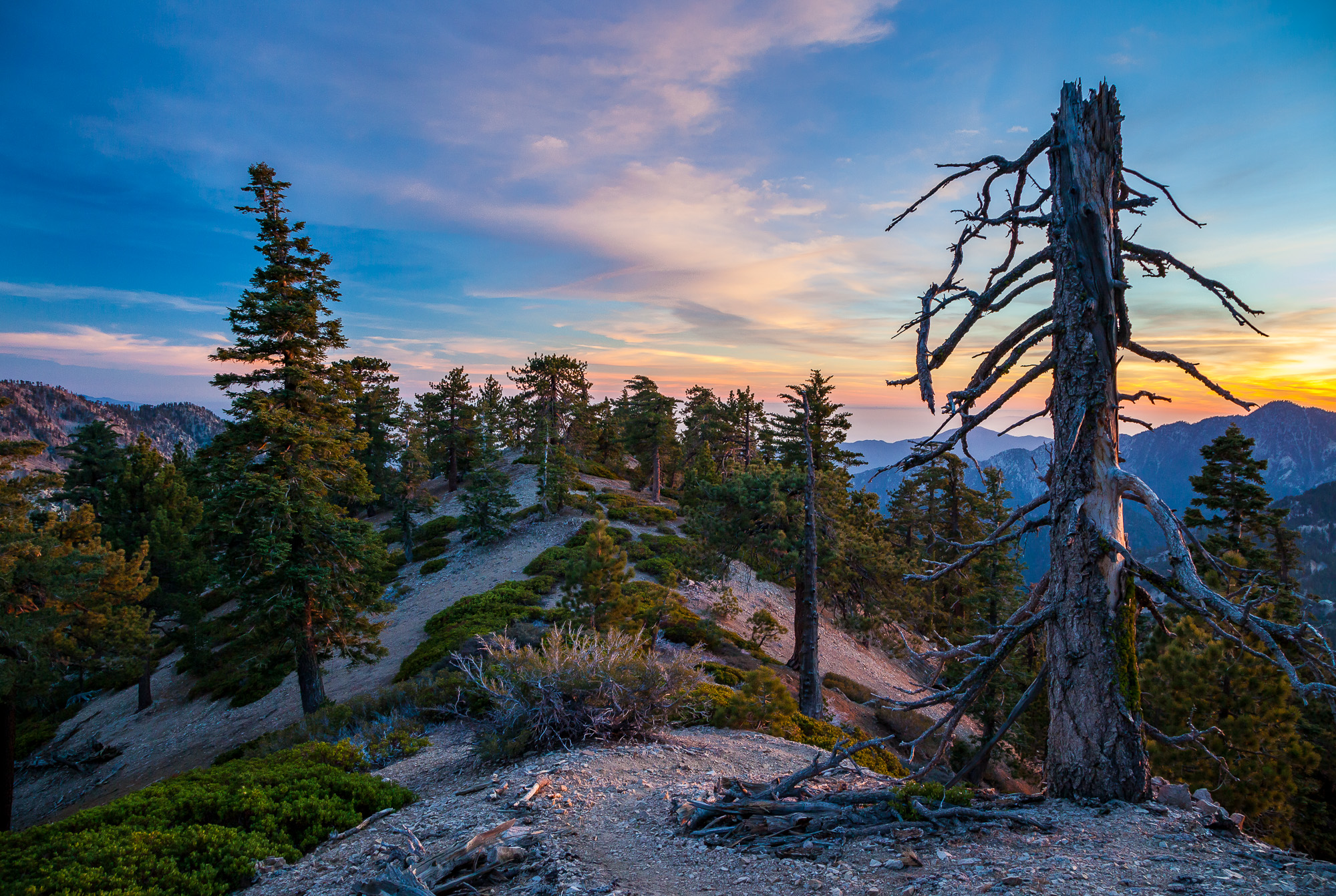
Clearing Storm, Mount Williamson

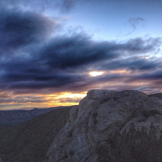
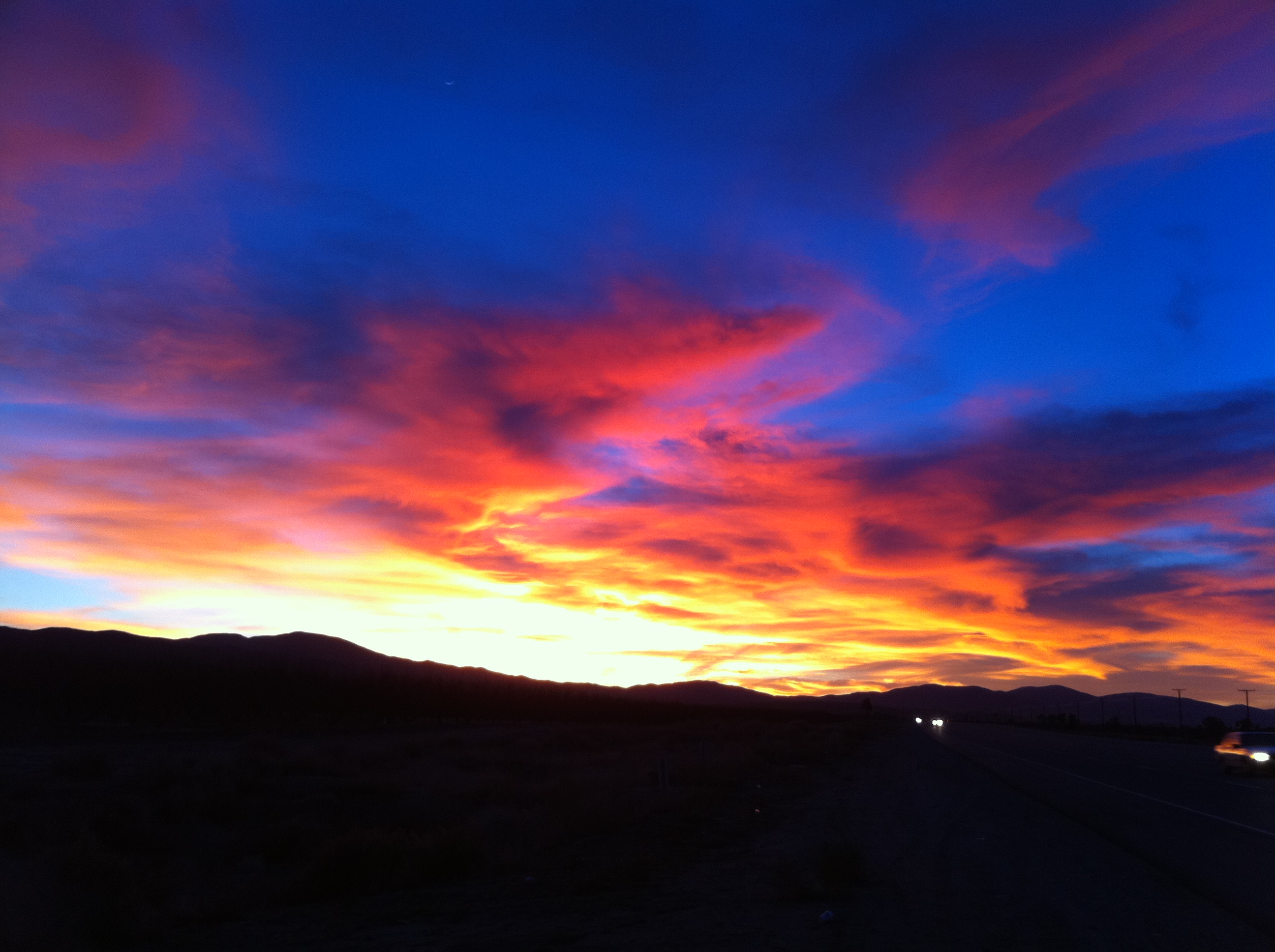
Darkness Sets

Fading Storm on Williamson [Explored]
Life is harsh on the ridge.
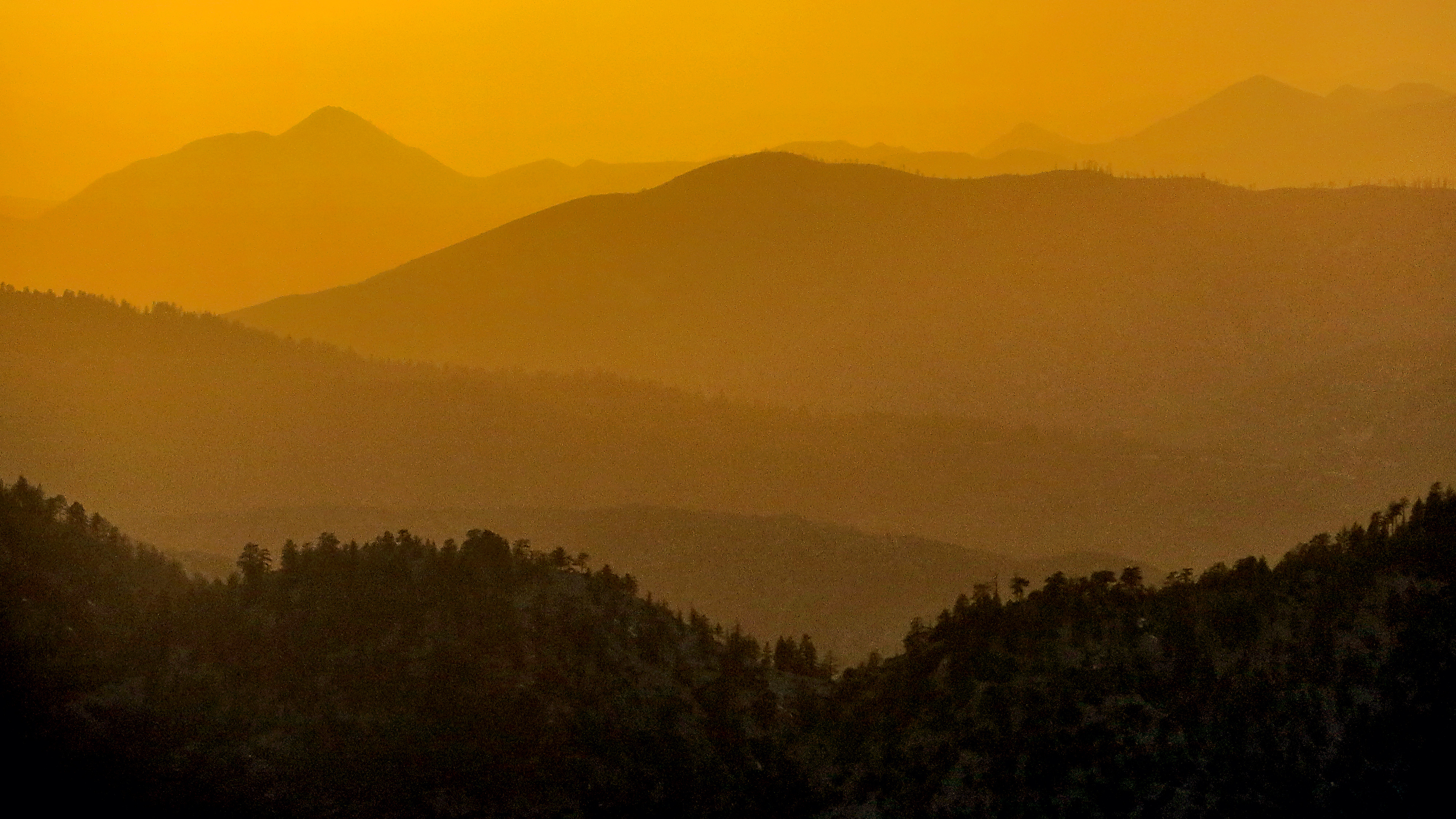
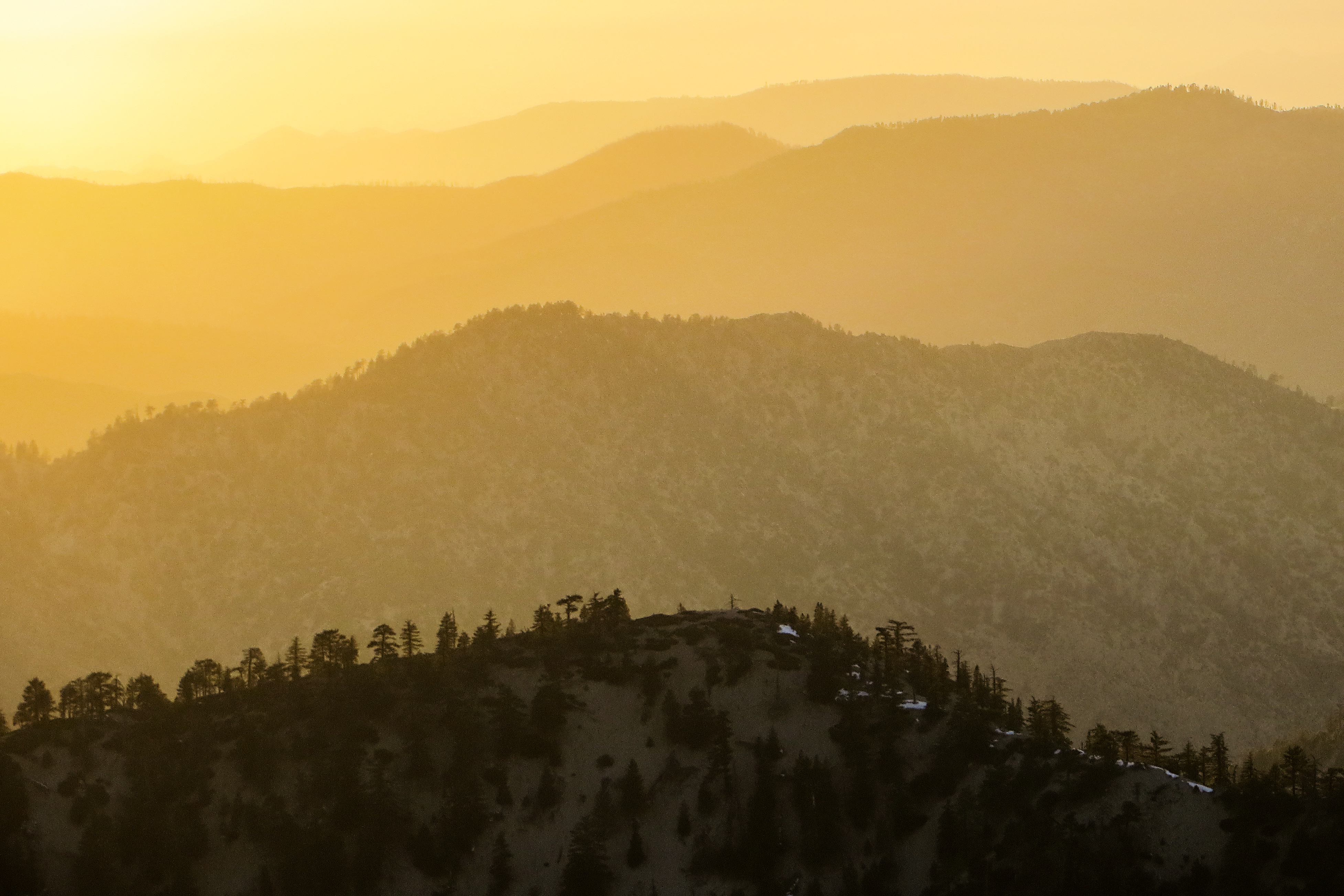
Tangerine Topography

Wake me when it's over [Explored]
Started super early this morning, before the sun came out.
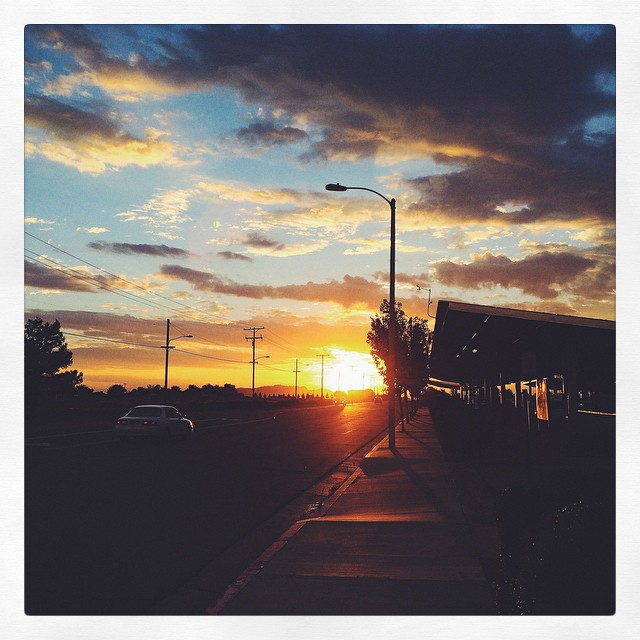
Memorial Day Sunset
Lowering clouds in the west #VSCOCam #summerstorm
2015-06-28 20.14.05
Fiery sunset
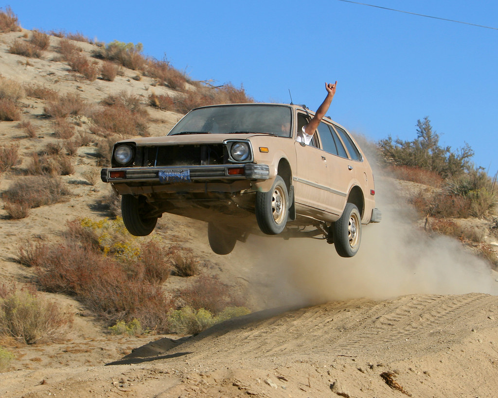
Flying Honda Wagon
The Devil's Punchbowl

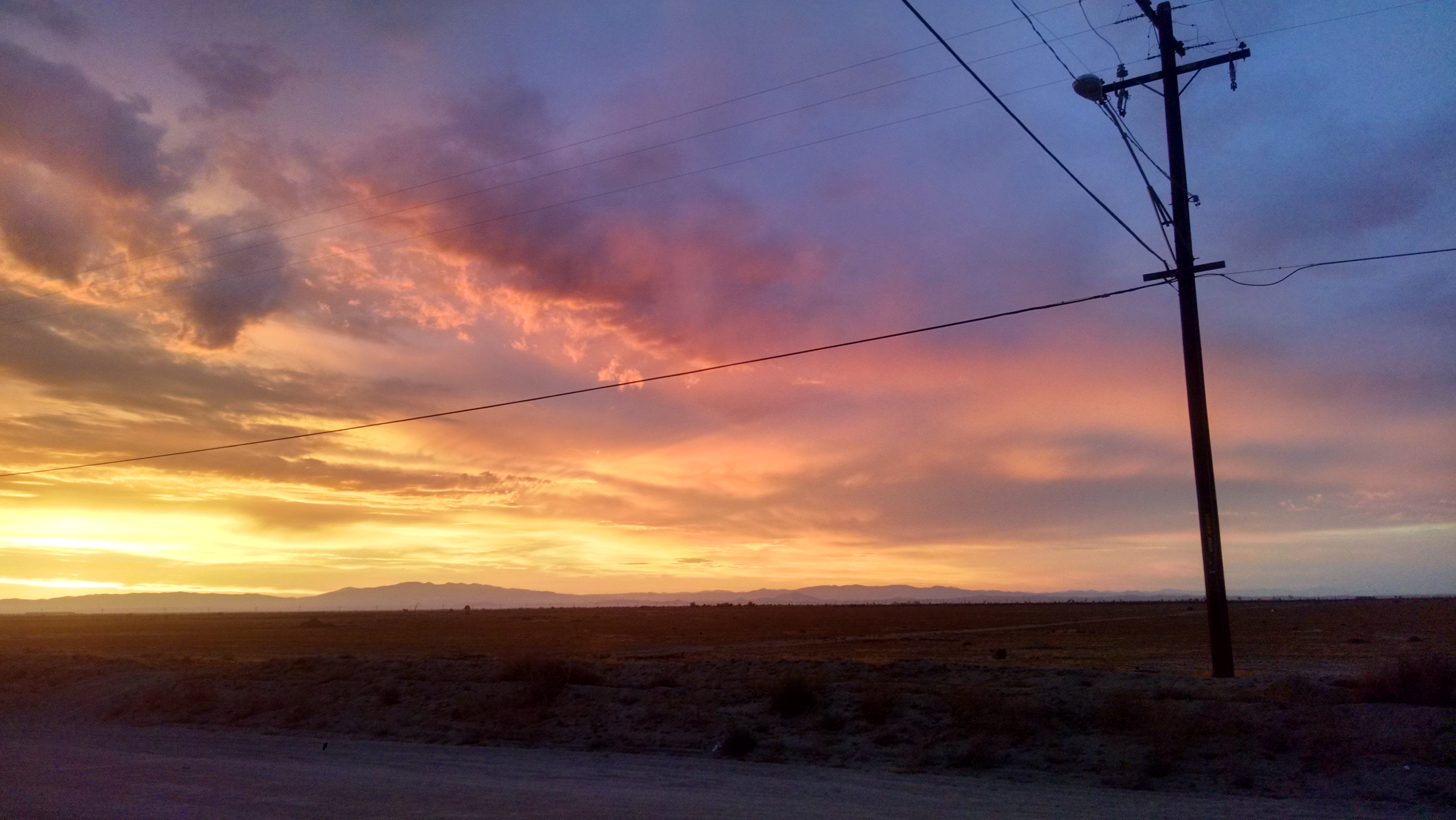
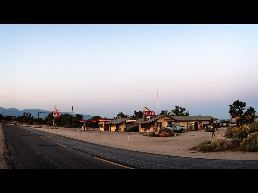
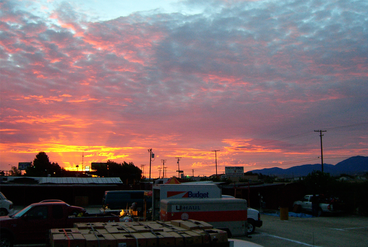
Palmdale Sunset
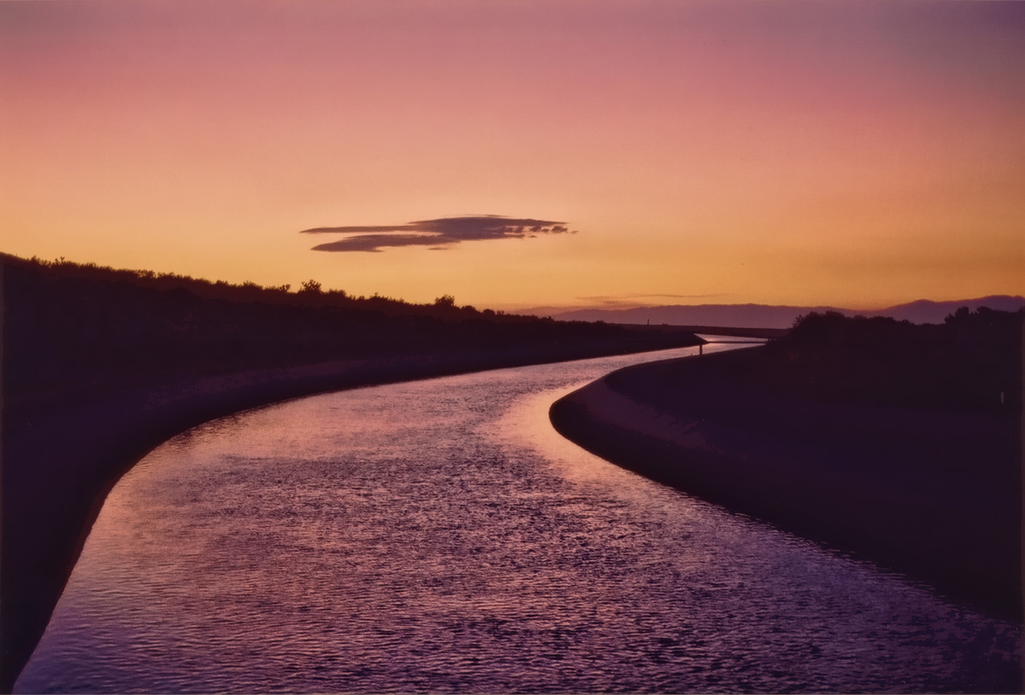
California Aqueduct Near Valyermo, CA 4

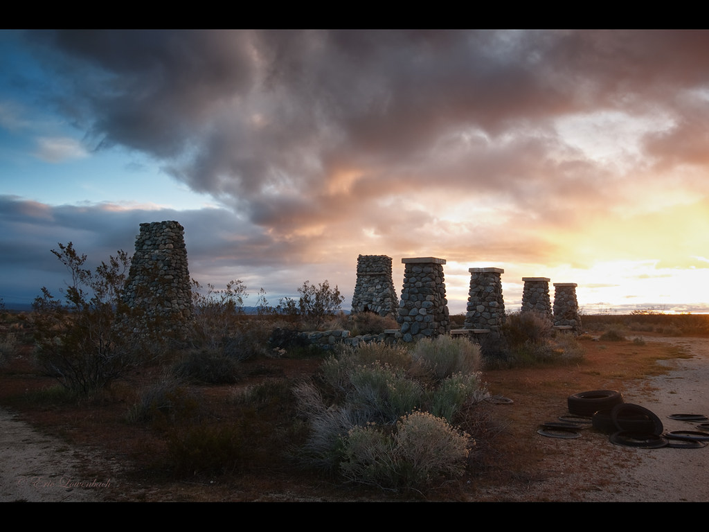
Marching Ladies
Sunset in the foothills
Sunset Haze on Williamson

Panorama - Antelope Valley

2007 Honda Shadow Spirit
Four Aces (panorama)
Past the Mission
#VSCOCam Desert sunrise
Live 4eva
Swap Meet Sunrise

Valyermo Dawn
Mapa de Pearblossom, California, EE. UU.
Buscar otro lugar
lugares en Pearblossom, California, EE. UU.
Jackson Lake, California, EE. UU.
Mount Lewis, Mt Lewis, California, EE. UU.
Devils Punchbowl, California, EE. UU.
Lugares cercanos
E Ave W 6, Pearblossom, CA, EE. UU.
Fort Tejon Rd, Pearblossom, CA, EE. UU.
96th Street East, 96th St E, California, EE. UU.
N Valyermo Rd, Valyermo, CA, EE. UU.
Boca Raton Avenue, Boca Raton Ave, Llano, CA, EE. UU.
Littlerock, California, EE. UU.
95th St E, Littlerock, CA, EE. UU.
E Ave X, Llano, CA, EE. UU.
Llano, CA, EE. UU.
90th St E, Littlerock, CA, EE. UU.
Little Rock Reservoir, California, EE. UU.
Cheseboro Rd, Palmdale, CA, EE. UU.
Lake Los Angeles, California, EE. UU.
Boxthorn St, Palmdale, CA, EE. UU.
50th St E, Palmdale, CA, EE. UU.
Palmdale, California, EE. UU.
Palmdale Hills Dr, Palmdale, CA, EE. UU.
Sulphur Springs Rd, Palmdale, CA, EE. UU.
Mount Emma Road, Mt Emma Rd, Palmdale, CA, EE. UU.
Dedham Ct, Palmdale, CA, EE. UU.
Búsquedas recientes
- Horas de salida y puesta de sol de West Sugar Creek, Charlotte, NC, EE. UU.
- Horas de salida y puesta de sol de Contulmo, Bío Bío, Chile
- Horas de salida y puesta de sol de Contulmo, Bío Bío, Chile
- Horas de salida y puesta de sol de Steadfast Ct, Daphne, AL, USA
- Horas de salida y puesta de sol de Horton in Ribblesdale, Settle BD24 0HB, Reino Unido
- Horas de salida y puesta de sol de Rojo Ct, Atascadero, CA, EE. UU.
- Horas de salida y puesta de sol de Lumagwas Diversified Farmers Multi-Purpose Cooperative, Lumagwas, Adtuyon, RV32+MH7, Pangantucan, Bu
- Horas de salida y puesta de sol de 12 Hutchinson Woods Dr, Fletcher, NC, EE. UU.
- Horas de salida y puesta de sol de Santa María del Mar, Perú
- Horas de salida y puesta de sol de Holloway Ave, San Francisco, CA, EE. UU.