Rock Dr, Forest Falls, CA 美國的日出日落時間表
Location: 美國 > 加利福尼亞州 > 聖貝納迪諾縣 > CA 美國 >
時區:
America/Los_Angeles
當地時間:
2025-07-05 05:15:48
經度:
-116.8981886
緯度:
34.0807139
今天日出時間:
05:42:02 AM
今天日落時間:
08:02:40 PM
今天日照時長:
14h 20m 38s
明天日出時間:
05:42:32 AM
明天日落時間:
08:02:29 PM
明天日照時長:
14h 19m 57s
顯示所有日期
| 日期 | 日出 | 日落 | 日照時長 |
|---|---|---|---|
| 2025年01月01日 | 06:53:24 AM | 04:50:13 PM | 9h 56m 49s |
| 2025年01月02日 | 06:53:32 AM | 04:51:00 PM | 9h 57m 28s |
| 2025年01月03日 | 06:53:39 AM | 04:51:48 PM | 9h 58m 9s |
| 2025年01月04日 | 06:53:43 AM | 04:52:37 PM | 9h 58m 54s |
| 2025年01月05日 | 06:53:46 AM | 04:53:27 PM | 9h 59m 41s |
| 2025年01月06日 | 06:53:46 AM | 04:54:18 PM | 10h 0m 32s |
| 2025年01月07日 | 06:53:45 AM | 04:55:10 PM | 10h 1m 25s |
| 2025年01月08日 | 06:53:42 AM | 04:56:02 PM | 10h 2m 20s |
| 2025年01月09日 | 06:53:37 AM | 04:56:55 PM | 10h 3m 18s |
| 2025年01月10日 | 06:53:30 AM | 04:57:49 PM | 10h 4m 19s |
| 2025年01月11日 | 06:53:22 AM | 04:58:44 PM | 10h 5m 22s |
| 2025年01月12日 | 06:53:11 AM | 04:59:39 PM | 10h 6m 28s |
| 2025年01月13日 | 06:52:59 AM | 05:00:35 PM | 10h 7m 36s |
| 2025年01月14日 | 06:52:45 AM | 05:01:31 PM | 10h 8m 46s |
| 2025年01月15日 | 06:52:29 AM | 05:02:28 PM | 10h 9m 59s |
| 2025年01月16日 | 06:52:11 AM | 05:03:25 PM | 10h 11m 14s |
| 2025年01月17日 | 06:51:51 AM | 05:04:23 PM | 10h 12m 32s |
| 2025年01月18日 | 06:51:30 AM | 05:05:21 PM | 10h 13m 51s |
| 2025年01月19日 | 06:51:07 AM | 05:06:19 PM | 10h 15m 12s |
| 2025年01月20日 | 06:50:42 AM | 05:07:18 PM | 10h 16m 36s |
| 2025年01月21日 | 06:50:15 AM | 05:08:16 PM | 10h 18m 1s |
| 2025年01月22日 | 06:49:46 AM | 05:09:15 PM | 10h 19m 29s |
| 2025年01月23日 | 06:49:16 AM | 05:10:14 PM | 10h 20m 58s |
| 2025年01月24日 | 06:48:44 AM | 05:11:14 PM | 10h 22m 30s |
| 2025年01月25日 | 06:48:10 AM | 05:12:13 PM | 10h 24m 3s |
| 2025年01月26日 | 06:47:35 AM | 05:13:12 PM | 10h 25m 37s |
| 2025年01月27日 | 06:46:58 AM | 05:14:12 PM | 10h 27m 14s |
| 2025年01月28日 | 06:46:19 AM | 05:15:11 PM | 10h 28m 52s |
| 2025年01月29日 | 06:45:39 AM | 05:16:10 PM | 10h 30m 31s |
| 2025年01月30日 | 06:44:58 AM | 05:17:10 PM | 10h 32m 12s |
| 2025年01月31日 | 06:44:14 AM | 05:18:09 PM | 10h 33m 55s |
| 2025年02月01日 | 06:43:29 AM | 05:19:08 PM | 10h 35m 39s |
| 2025年02月02日 | 06:42:43 AM | 05:20:07 PM | 10h 37m 24s |
| 2025年02月03日 | 06:41:56 AM | 05:21:05 PM | 10h 39m 9s |
| 2025年02月04日 | 06:41:06 AM | 05:22:04 PM | 10h 40m 58s |
| 2025年02月05日 | 06:40:16 AM | 05:23:02 PM | 10h 42m 46s |
| 2025年02月06日 | 06:39:24 AM | 05:24:01 PM | 10h 44m 37s |
| 2025年02月07日 | 06:38:31 AM | 05:24:58 PM | 10h 46m 27s |
| 2025年02月08日 | 06:37:36 AM | 05:25:56 PM | 10h 48m 20s |
| 2025年02月09日 | 06:36:40 AM | 05:26:53 PM | 10h 50m 13s |
| 2025年02月10日 | 06:35:43 AM | 05:27:51 PM | 10h 52m 8s |
| 2025年02月11日 | 06:34:45 AM | 05:28:47 PM | 10h 54m 2s |
| 2025年02月12日 | 06:33:45 AM | 05:29:44 PM | 10h 55m 59s |
| 2025年02月13日 | 06:32:44 AM | 05:30:40 PM | 10h 57m 56s |
| 2025年02月14日 | 06:31:43 AM | 05:31:36 PM | 10h 59m 53s |
| 2025年02月15日 | 06:30:40 AM | 05:32:31 PM | 11h 1m 51s |
| 2025年02月16日 | 06:29:36 AM | 05:33:27 PM | 11h 3m 51s |
| 2025年02月17日 | 06:28:31 AM | 05:34:21 PM | 11h 5m 50s |
| 2025年02月18日 | 06:27:25 AM | 05:35:16 PM | 11h 7m 51s |
| 2025年02月19日 | 06:26:18 AM | 05:36:10 PM | 11h 9m 52s |
| 2025年02月20日 | 06:25:10 AM | 05:37:04 PM | 11h 11m 54s |
| 2025年02月21日 | 06:24:01 AM | 05:37:57 PM | 11h 13m 56s |
| 2025年02月22日 | 06:22:51 AM | 05:38:50 PM | 11h 15m 59s |
| 2025年02月23日 | 06:21:40 AM | 05:39:43 PM | 11h 18m 3s |
| 2025年02月24日 | 06:20:29 AM | 05:40:36 PM | 11h 20m 7s |
| 2025年02月25日 | 06:19:17 AM | 05:41:28 PM | 11h 22m 11s |
| 2025年02月26日 | 06:18:04 AM | 05:42:20 PM | 11h 24m 16s |
| 2025年02月27日 | 06:16:50 AM | 05:43:11 PM | 11h 26m 21s |
| 2025年02月28日 | 06:15:36 AM | 05:44:02 PM | 11h 28m 26s |
| 2025年03月01日 | 06:14:20 AM | 05:44:53 PM | 11h 30m 33s |
| 2025年03月02日 | 06:13:05 AM | 05:45:43 PM | 11h 32m 38s |
| 2025年03月03日 | 06:11:48 AM | 05:46:33 PM | 11h 34m 45s |
| 2025年03月04日 | 06:10:32 AM | 05:47:23 PM | 11h 36m 51s |
| 2025年03月05日 | 06:09:14 AM | 05:48:13 PM | 11h 38m 59s |
| 2025年03月06日 | 06:07:56 AM | 05:49:02 PM | 11h 41m 6s |
| 2025年03月07日 | 06:06:38 AM | 05:49:51 PM | 11h 43m 13s |
| 2025年03月08日 | 06:05:19 AM | 05:50:40 PM | 11h 45m 21s |
| 2025年03月09日 | 07:04:03 AM | 06:51:26 PM | 11h 47m 23s |
| 2025年03月10日 | 07:02:43 AM | 06:52:14 PM | 11h 49m 31s |
| 2025年03月11日 | 07:01:23 AM | 06:53:02 PM | 11h 51m 39s |
| 2025年03月12日 | 07:00:03 AM | 06:53:50 PM | 11h 53m 47s |
| 2025年03月13日 | 06:58:42 AM | 06:54:38 PM | 11h 55m 56s |
| 2025年03月14日 | 06:57:21 AM | 06:55:25 PM | 11h 58m 4s |
| 2025年03月15日 | 06:56:00 AM | 06:56:12 PM | 12h 0m 12s |
| 2025年03月16日 | 06:54:38 AM | 06:56:59 PM | 12h 2m 21s |
| 2025年03月17日 | 06:53:17 AM | 06:57:46 PM | 12h 4m 29s |
| 2025年03月18日 | 06:51:55 AM | 06:58:32 PM | 12h 6m 37s |
| 2025年03月19日 | 06:50:33 AM | 06:59:19 PM | 12h 8m 46s |
| 2025年03月20日 | 06:49:11 AM | 07:00:05 PM | 12h 10m 54s |
| 2025年03月21日 | 06:47:49 AM | 07:00:51 PM | 12h 13m 2s |
| 2025年03月22日 | 06:46:27 AM | 07:01:37 PM | 12h 15m 10s |
| 2025年03月23日 | 06:45:05 AM | 07:02:23 PM | 12h 17m 18s |
| 2025年03月24日 | 06:43:43 AM | 07:03:09 PM | 12h 19m 26s |
| 2025年03月25日 | 06:42:21 AM | 07:03:55 PM | 12h 21m 34s |
| 2025年03月26日 | 06:40:59 AM | 07:04:41 PM | 12h 23m 42s |
| 2025年03月27日 | 06:39:37 AM | 07:05:26 PM | 12h 25m 49s |
| 2025年03月28日 | 06:38:16 AM | 07:06:12 PM | 12h 27m 56s |
| 2025年03月29日 | 06:36:54 AM | 07:06:58 PM | 12h 30m 4s |
| 2025年03月30日 | 06:35:33 AM | 07:07:43 PM | 12h 32m 10s |
| 2025年03月31日 | 06:34:12 AM | 07:08:29 PM | 12h 34m 17s |
| 2025年04月01日 | 06:32:51 AM | 07:09:14 PM | 12h 36m 23s |
| 2025年04月02日 | 06:31:30 AM | 07:10:00 PM | 12h 38m 30s |
| 2025年04月03日 | 06:30:10 AM | 07:10:45 PM | 12h 40m 35s |
| 2025年04月04日 | 06:28:50 AM | 07:11:31 PM | 12h 42m 41s |
| 2025年04月05日 | 06:27:30 AM | 07:12:16 PM | 12h 44m 46s |
| 2025年04月06日 | 06:26:11 AM | 07:13:02 PM | 12h 46m 51s |
| 2025年04月07日 | 06:24:52 AM | 07:13:48 PM | 12h 48m 56s |
| 2025年04月08日 | 06:23:34 AM | 07:14:33 PM | 12h 50m 59s |
| 2025年04月09日 | 06:22:16 AM | 07:15:19 PM | 12h 53m 3s |
| 2025年04月10日 | 06:20:59 AM | 07:16:05 PM | 12h 55m 6s |
| 2025年04月11日 | 06:19:42 AM | 07:16:51 PM | 12h 57m 9s |
| 2025年04月12日 | 06:18:26 AM | 07:17:37 PM | 12h 59m 11s |
| 2025年04月13日 | 06:17:10 AM | 07:18:23 PM | 13h 1m 13s |
| 2025年04月14日 | 06:15:55 AM | 07:19:09 PM | 13h 3m 14s |
| 2025年04月15日 | 06:14:41 AM | 07:19:55 PM | 13h 5m 14s |
| 2025年04月16日 | 06:13:27 AM | 07:20:41 PM | 13h 7m 14s |
| 2025年04月17日 | 06:12:15 AM | 07:21:27 PM | 13h 9m 12s |
| 2025年04月18日 | 06:11:02 AM | 07:22:14 PM | 13h 11m 12s |
| 2025年04月19日 | 06:09:51 AM | 07:23:00 PM | 13h 13m 9s |
| 2025年04月20日 | 06:08:40 AM | 07:23:46 PM | 13h 15m 6s |
| 2025年04月21日 | 06:07:30 AM | 07:24:33 PM | 13h 17m 3s |
| 2025年04月22日 | 06:06:21 AM | 07:25:20 PM | 13h 18m 59s |
| 2025年04月23日 | 06:05:13 AM | 07:26:06 PM | 13h 20m 53s |
| 2025年04月24日 | 06:04:06 AM | 07:26:53 PM | 13h 22m 47s |
| 2025年04月25日 | 06:03:00 AM | 07:27:40 PM | 13h 24m 40s |
| 2025年04月26日 | 06:01:55 AM | 07:28:27 PM | 13h 26m 32s |
| 2025年04月27日 | 06:00:50 AM | 07:29:13 PM | 13h 28m 23s |
| 2025年04月28日 | 05:59:47 AM | 07:30:00 PM | 13h 30m 13s |
| 2025年04月29日 | 05:58:45 AM | 07:30:47 PM | 13h 32m 2s |
| 2025年04月30日 | 05:57:43 AM | 07:31:34 PM | 13h 33m 51s |
| 2025年05月01日 | 05:56:43 AM | 07:32:21 PM | 13h 35m 38s |
| 2025年05月02日 | 05:55:44 AM | 07:33:08 PM | 13h 37m 24s |
| 2025年05月03日 | 05:54:47 AM | 07:33:55 PM | 13h 39m 8s |
| 2025年05月04日 | 05:53:50 AM | 07:34:41 PM | 13h 40m 51s |
| 2025年05月05日 | 05:52:54 AM | 07:35:28 PM | 13h 42m 34s |
| 2025年05月06日 | 05:52:00 AM | 07:36:15 PM | 13h 44m 15s |
| 2025年05月07日 | 05:51:07 AM | 07:37:01 PM | 13h 45m 54s |
| 2025年05月08日 | 05:50:15 AM | 07:37:48 PM | 13h 47m 33s |
| 2025年05月09日 | 05:49:25 AM | 07:38:34 PM | 13h 49m 9s |
| 2025年05月10日 | 05:48:36 AM | 07:39:20 PM | 13h 50m 44s |
| 2025年05月11日 | 05:47:48 AM | 07:40:06 PM | 13h 52m 18s |
| 2025年05月12日 | 05:47:01 AM | 07:40:51 PM | 13h 53m 50s |
| 2025年05月13日 | 05:46:16 AM | 07:41:37 PM | 13h 55m 21s |
| 2025年05月14日 | 05:45:33 AM | 07:42:22 PM | 13h 56m 49s |
| 2025年05月15日 | 05:44:50 AM | 07:43:07 PM | 13h 58m 17s |
| 2025年05月16日 | 05:44:10 AM | 07:43:51 PM | 13h 59m 41s |
| 2025年05月17日 | 05:43:30 AM | 07:44:36 PM | 14h 1m 6s |
| 2025年05月18日 | 05:42:52 AM | 07:45:20 PM | 14h 2m 28s |
| 2025年05月19日 | 05:42:16 AM | 07:46:03 PM | 14h 3m 47s |
| 2025年05月20日 | 05:41:41 AM | 07:46:46 PM | 14h 5m 5s |
| 2025年05月21日 | 05:41:07 AM | 07:47:29 PM | 14h 6m 22s |
| 2025年05月22日 | 05:40:36 AM | 07:48:11 PM | 14h 7m 35s |
| 2025年05月23日 | 05:40:05 AM | 07:48:52 PM | 14h 8m 47s |
| 2025年05月24日 | 05:39:36 AM | 07:49:33 PM | 14h 9m 57s |
| 2025年05月25日 | 05:39:09 AM | 07:50:13 PM | 14h 11m 4s |
| 2025年05月26日 | 05:38:44 AM | 07:50:53 PM | 14h 12m 9s |
| 2025年05月27日 | 05:38:19 AM | 07:51:32 PM | 14h 13m 13s |
| 2025年05月28日 | 05:37:57 AM | 07:52:11 PM | 14h 14m 14s |
| 2025年05月29日 | 05:37:36 AM | 07:52:48 PM | 14h 15m 12s |
| 2025年05月30日 | 05:37:17 AM | 07:53:25 PM | 14h 16m 8s |
| 2025年05月31日 | 05:36:59 AM | 07:54:01 PM | 14h 17m 2s |
| 2025年06月01日 | 05:36:43 AM | 07:54:37 PM | 14h 17m 54s |
| 2025年06月02日 | 05:36:29 AM | 07:55:11 PM | 14h 18m 42s |
| 2025年06月03日 | 05:36:16 AM | 07:55:45 PM | 14h 19m 29s |
| 2025年06月04日 | 05:36:05 AM | 07:56:17 PM | 14h 20m 12s |
| 2025年06月05日 | 05:35:55 AM | 07:56:49 PM | 14h 20m 54s |
| 2025年06月06日 | 05:35:47 AM | 07:57:19 PM | 14h 21m 32s |
| 2025年06月07日 | 05:35:40 AM | 07:57:49 PM | 14h 22m 9s |
| 2025年06月08日 | 05:35:36 AM | 07:58:17 PM | 14h 22m 41s |
| 2025年06月09日 | 05:35:32 AM | 07:58:44 PM | 14h 23m 12s |
| 2025年06月10日 | 05:35:31 AM | 07:59:11 PM | 14h 23m 40s |
| 2025年06月11日 | 05:35:30 AM | 07:59:36 PM | 14h 24m 6s |
| 2025年06月12日 | 05:35:32 AM | 07:59:59 PM | 14h 24m 27s |
| 2025年06月13日 | 05:35:35 AM | 08:00:22 PM | 14h 24m 47s |
| 2025年06月14日 | 05:35:39 AM | 08:00:43 PM | 14h 25m 4s |
| 2025年06月15日 | 05:35:45 AM | 08:01:03 PM | 14h 25m 18s |
| 2025年06月16日 | 05:35:52 AM | 08:01:22 PM | 14h 25m 30s |
| 2025年06月17日 | 05:36:01 AM | 08:01:39 PM | 14h 25m 38s |
| 2025年06月18日 | 05:36:11 AM | 08:01:55 PM | 14h 25m 44s |
| 2025年06月19日 | 05:36:23 AM | 08:02:09 PM | 14h 25m 46s |
| 2025年06月20日 | 05:36:36 AM | 08:02:22 PM | 14h 25m 46s |
| 2025年06月21日 | 05:36:51 AM | 08:02:34 PM | 14h 25m 43s |
| 2025年06月22日 | 05:37:06 AM | 08:02:44 PM | 14h 25m 38s |
| 2025年06月23日 | 05:37:24 AM | 08:02:53 PM | 14h 25m 29s |
| 2025年06月24日 | 05:37:42 AM | 08:03:00 PM | 14h 25m 18s |
| 2025年06月25日 | 05:38:02 AM | 08:03:05 PM | 14h 25m 3s |
| 2025年06月26日 | 05:38:23 AM | 08:03:09 PM | 14h 24m 46s |
| 2025年06月27日 | 05:38:45 AM | 08:03:12 PM | 14h 24m 27s |
| 2025年06月28日 | 05:39:08 AM | 08:03:13 PM | 14h 24m 5s |
| 2025年06月29日 | 05:39:32 AM | 08:03:12 PM | 14h 23m 40s |
| 2025年06月30日 | 05:39:58 AM | 08:03:09 PM | 14h 23m 11s |
| 2025年07月01日 | 05:40:24 AM | 08:03:05 PM | 14h 22m 41s |
| 2025年07月02日 | 05:40:52 AM | 08:03:00 PM | 14h 22m 8s |
| 2025年07月03日 | 05:41:21 AM | 08:02:53 PM | 14h 21m 32s |
| 2025年07月04日 | 05:41:50 AM | 08:02:44 PM | 14h 20m 54s |
| 2025年07月05日 | 05:42:21 AM | 08:02:33 PM | 14h 20m 12s |
| 2025年07月06日 | 05:42:52 AM | 08:02:21 PM | 14h 19m 29s |
| 2025年07月07日 | 05:43:25 AM | 08:02:07 PM | 14h 18m 42s |
| 2025年07月08日 | 05:43:58 AM | 08:01:52 PM | 14h 17m 54s |
| 2025年07月09日 | 05:44:32 AM | 08:01:35 PM | 14h 17m 3s |
| 2025年07月10日 | 05:45:06 AM | 08:01:16 PM | 14h 16m 10s |
| 2025年07月11日 | 05:45:42 AM | 08:00:55 PM | 14h 15m 13s |
| 2025年07月12日 | 05:46:18 AM | 08:00:33 PM | 14h 14m 15s |
| 2025年07月13日 | 05:46:55 AM | 08:00:10 PM | 14h 13m 15s |
| 2025年07月14日 | 05:47:32 AM | 07:59:44 PM | 14h 12m 12s |
| 2025年07月15日 | 05:48:10 AM | 07:59:18 PM | 14h 11m 8s |
| 2025年07月16日 | 05:48:49 AM | 07:58:49 PM | 14h 10m 0s |
| 2025年07月17日 | 05:49:28 AM | 07:58:19 PM | 14h 8m 51s |
| 2025年07月18日 | 05:50:07 AM | 07:57:47 PM | 14h 7m 40s |
| 2025年07月19日 | 05:50:47 AM | 07:57:14 PM | 14h 6m 27s |
| 2025年07月20日 | 05:51:28 AM | 07:56:39 PM | 14h 5m 11s |
| 2025年07月21日 | 05:52:08 AM | 07:56:03 PM | 14h 3m 55s |
| 2025年07月22日 | 05:52:50 AM | 07:55:25 PM | 14h 2m 35s |
| 2025年07月23日 | 05:53:31 AM | 07:54:46 PM | 14h 1m 15s |
| 2025年07月24日 | 05:54:13 AM | 07:54:05 PM | 13h 59m 52s |
| 2025年07月25日 | 05:54:55 AM | 07:53:22 PM | 13h 58m 27s |
| 2025年07月26日 | 05:55:37 AM | 07:52:39 PM | 13h 57m 2s |
| 2025年07月27日 | 05:56:20 AM | 07:51:53 PM | 13h 55m 33s |
| 2025年07月28日 | 05:57:03 AM | 07:51:07 PM | 13h 54m 4s |
| 2025年07月29日 | 05:57:46 AM | 07:50:19 PM | 13h 52m 33s |
| 2025年07月30日 | 05:58:29 AM | 07:49:29 PM | 13h 51m 0s |
| 2025年07月31日 | 05:59:12 AM | 07:48:38 PM | 13h 49m 26s |
| 2025年08月01日 | 05:59:56 AM | 07:47:46 PM | 13h 47m 50s |
| 2025年08月02日 | 06:00:39 AM | 07:46:53 PM | 13h 46m 14s |
| 2025年08月03日 | 06:01:23 AM | 07:45:58 PM | 13h 44m 35s |
| 2025年08月04日 | 06:02:06 AM | 07:45:02 PM | 13h 42m 56s |
| 2025年08月05日 | 06:02:50 AM | 07:44:05 PM | 13h 41m 15s |
| 2025年08月06日 | 06:03:33 AM | 07:43:07 PM | 13h 39m 34s |
| 2025年08月07日 | 06:04:17 AM | 07:42:07 PM | 13h 37m 50s |
| 2025年08月08日 | 06:05:01 AM | 07:41:07 PM | 13h 36m 6s |
| 2025年08月09日 | 06:05:44 AM | 07:40:05 PM | 13h 34m 21s |
| 2025年08月10日 | 06:06:28 AM | 07:39:02 PM | 13h 32m 34s |
| 2025年08月11日 | 06:07:12 AM | 07:37:58 PM | 13h 30m 46s |
| 2025年08月12日 | 06:07:55 AM | 07:36:53 PM | 13h 28m 58s |
| 2025年08月13日 | 06:08:38 AM | 07:35:47 PM | 13h 27m 9s |
| 2025年08月14日 | 06:09:22 AM | 07:34:39 PM | 13h 25m 17s |
| 2025年08月15日 | 06:10:05 AM | 07:33:31 PM | 13h 23m 26s |
| 2025年08月16日 | 06:10:48 AM | 07:32:22 PM | 13h 21m 34s |
| 2025年08月17日 | 06:11:31 AM | 07:31:13 PM | 13h 19m 42s |
| 2025年08月18日 | 06:12:14 AM | 07:30:02 PM | 13h 17m 48s |
| 2025年08月19日 | 06:12:57 AM | 07:28:50 PM | 13h 15m 53s |
| 2025年08月20日 | 06:13:40 AM | 07:27:38 PM | 13h 13m 58s |
| 2025年08月21日 | 06:14:23 AM | 07:26:24 PM | 13h 12m 1s |
| 2025年08月22日 | 06:15:05 AM | 07:25:10 PM | 13h 10m 5s |
| 2025年08月23日 | 06:15:48 AM | 07:23:55 PM | 13h 8m 7s |
| 2025年08月24日 | 06:16:30 AM | 07:22:40 PM | 13h 6m 10s |
| 2025年08月25日 | 06:17:12 AM | 07:21:23 PM | 13h 4m 11s |
| 2025年08月26日 | 06:17:55 AM | 07:20:07 PM | 13h 2m 12s |
| 2025年08月27日 | 06:18:37 AM | 07:18:49 PM | 13h 0m 12s |
| 2025年08月28日 | 06:19:19 AM | 07:17:31 PM | 12h 58m 12s |
| 2025年08月29日 | 06:20:00 AM | 07:16:12 PM | 12h 56m 12s |
| 2025年08月30日 | 06:20:42 AM | 07:14:53 PM | 12h 54m 11s |
| 2025年08月31日 | 06:21:24 AM | 07:13:33 PM | 12h 52m 9s |
| 2025年09月01日 | 06:22:05 AM | 07:12:13 PM | 12h 50m 8s |
| 2025年09月02日 | 06:22:47 AM | 07:10:52 PM | 12h 48m 5s |
| 2025年09月03日 | 06:23:29 AM | 07:09:31 PM | 12h 46m 2s |
| 2025年09月04日 | 06:24:10 AM | 07:08:09 PM | 12h 43m 59s |
| 2025年09月05日 | 06:24:51 AM | 07:06:47 PM | 12h 41m 56s |
| 2025年09月06日 | 06:25:33 AM | 07:05:25 PM | 12h 39m 52s |
| 2025年09月07日 | 06:26:14 AM | 07:04:02 PM | 12h 37m 48s |
| 2025年09月08日 | 06:26:55 AM | 07:02:39 PM | 12h 35m 44s |
| 2025年09月09日 | 06:27:37 AM | 07:01:16 PM | 12h 33m 39s |
| 2025年09月10日 | 06:28:18 AM | 06:59:52 PM | 12h 31m 34s |
| 2025年09月11日 | 06:28:59 AM | 06:58:28 PM | 12h 29m 29s |
| 2025年09月12日 | 06:29:40 AM | 06:57:04 PM | 12h 27m 24s |
| 2025年09月13日 | 06:30:22 AM | 06:55:40 PM | 12h 25m 18s |
| 2025年09月14日 | 06:31:03 AM | 06:54:16 PM | 12h 23m 13s |
| 2025年09月15日 | 06:31:45 AM | 06:52:52 PM | 12h 21m 7s |
| 2025年09月16日 | 06:32:26 AM | 06:51:27 PM | 12h 19m 1s |
| 2025年09月17日 | 06:33:08 AM | 06:50:03 PM | 12h 16m 55s |
| 2025年09月18日 | 06:33:49 AM | 06:48:38 PM | 12h 14m 49s |
| 2025年09月19日 | 06:34:31 AM | 06:47:14 PM | 12h 12m 43s |
| 2025年09月20日 | 06:35:13 AM | 06:45:50 PM | 12h 10m 37s |
| 2025年09月21日 | 06:35:55 AM | 06:44:25 PM | 12h 8m 30s |
| 2025年09月22日 | 06:36:37 AM | 06:43:01 PM | 12h 6m 24s |
| 2025年09月23日 | 06:37:19 AM | 06:41:37 PM | 12h 4m 18s |
| 2025年09月24日 | 06:38:02 AM | 06:40:13 PM | 12h 2m 11s |
| 2025年09月25日 | 06:38:44 AM | 06:38:49 PM | 12h 0m 5s |
| 2025年09月26日 | 06:39:27 AM | 06:37:26 PM | 11h 57m 59s |
| 2025年09月27日 | 06:40:10 AM | 06:36:02 PM | 11h 55m 52s |
| 2025年09月28日 | 06:40:53 AM | 06:34:39 PM | 11h 53m 46s |
| 2025年09月29日 | 06:41:37 AM | 06:33:17 PM | 11h 51m 40s |
| 2025年09月30日 | 06:42:20 AM | 06:31:54 PM | 11h 49m 34s |
| 2025年10月01日 | 06:43:04 AM | 06:30:32 PM | 11h 47m 28s |
| 2025年10月02日 | 06:43:48 AM | 06:29:10 PM | 11h 45m 22s |
| 2025年10月03日 | 06:44:33 AM | 06:27:49 PM | 11h 43m 16s |
| 2025年10月04日 | 06:45:18 AM | 06:26:28 PM | 11h 41m 10s |
| 2025年10月05日 | 06:46:03 AM | 06:25:08 PM | 11h 39m 5s |
| 2025年10月06日 | 06:46:48 AM | 06:23:48 PM | 11h 37m 0s |
| 2025年10月07日 | 06:47:33 AM | 06:22:29 PM | 11h 34m 56s |
| 2025年10月08日 | 06:48:19 AM | 06:21:10 PM | 11h 32m 51s |
| 2025年10月09日 | 06:49:06 AM | 06:19:52 PM | 11h 30m 46s |
| 2025年10月10日 | 06:49:52 AM | 06:18:35 PM | 11h 28m 43s |
| 2025年10月11日 | 06:50:39 AM | 06:17:18 PM | 11h 26m 39s |
| 2025年10月12日 | 06:51:26 AM | 06:16:02 PM | 11h 24m 36s |
| 2025年10月13日 | 06:52:14 AM | 06:14:46 PM | 11h 22m 32s |
| 2025年10月14日 | 06:53:02 AM | 06:13:31 PM | 11h 20m 29s |
| 2025年10月15日 | 06:53:50 AM | 06:12:17 PM | 11h 18m 27s |
| 2025年10月16日 | 06:54:39 AM | 06:11:04 PM | 11h 16m 25s |
| 2025年10月17日 | 06:55:28 AM | 06:09:52 PM | 11h 14m 24s |
| 2025年10月18日 | 06:56:17 AM | 06:08:41 PM | 11h 12m 24s |
| 2025年10月19日 | 06:57:07 AM | 06:07:30 PM | 11h 10m 23s |
| 2025年10月20日 | 06:57:57 AM | 06:06:21 PM | 11h 8m 24s |
| 2025年10月21日 | 06:58:48 AM | 06:05:12 PM | 11h 6m 24s |
| 2025年10月22日 | 06:59:39 AM | 06:04:04 PM | 11h 4m 25s |
| 2025年10月23日 | 07:00:30 AM | 06:02:58 PM | 11h 2m 28s |
| 2025年10月24日 | 07:01:21 AM | 06:01:52 PM | 11h 0m 31s |
| 2025年10月25日 | 07:02:13 AM | 06:00:48 PM | 10h 58m 35s |
| 2025年10月26日 | 07:03:06 AM | 05:59:45 PM | 10h 56m 39s |
| 2025年10月27日 | 07:03:59 AM | 05:58:42 PM | 10h 54m 43s |
| 2025年10月28日 | 07:04:52 AM | 05:57:42 PM | 10h 52m 50s |
| 2025年10月29日 | 07:05:45 AM | 05:56:42 PM | 10h 50m 57s |
| 2025年10月30日 | 07:06:39 AM | 05:55:43 PM | 10h 49m 4s |
| 2025年10月31日 | 07:07:33 AM | 05:54:46 PM | 10h 47m 13s |
| 2025年11月01日 | 07:08:27 AM | 05:53:50 PM | 10h 45m 23s |
| 2025年11月02日 | 06:09:24 AM | 04:52:53 PM | 10h 43m 29s |
| 2025年11月03日 | 06:10:19 AM | 04:52:00 PM | 10h 41m 41s |
| 2025年11月04日 | 06:11:14 AM | 04:51:08 PM | 10h 39m 54s |
| 2025年11月05日 | 06:12:10 AM | 04:50:18 PM | 10h 38m 8s |
| 2025年11月06日 | 06:13:05 AM | 04:49:29 PM | 10h 36m 24s |
| 2025年11月07日 | 06:14:01 AM | 04:48:41 PM | 10h 34m 40s |
| 2025年11月08日 | 06:14:57 AM | 04:47:55 PM | 10h 32m 58s |
| 2025年11月09日 | 06:15:53 AM | 04:47:11 PM | 10h 31m 18s |
| 2025年11月10日 | 06:16:50 AM | 04:46:28 PM | 10h 29m 38s |
| 2025年11月11日 | 06:17:46 AM | 04:45:47 PM | 10h 28m 1s |
| 2025年11月12日 | 06:18:43 AM | 04:45:07 PM | 10h 26m 24s |
| 2025年11月13日 | 06:19:39 AM | 04:44:29 PM | 10h 24m 50s |
| 2025年11月14日 | 06:20:36 AM | 04:43:53 PM | 10h 23m 17s |
| 2025年11月15日 | 06:21:33 AM | 04:43:18 PM | 10h 21m 45s |
| 2025年11月16日 | 06:22:29 AM | 04:42:45 PM | 10h 20m 16s |
| 2025年11月17日 | 06:23:26 AM | 04:42:14 PM | 10h 18m 48s |
| 2025年11月18日 | 06:24:22 AM | 04:41:45 PM | 10h 17m 23s |
| 2025年11月19日 | 06:25:19 AM | 04:41:17 PM | 10h 15m 58s |
| 2025年11月20日 | 06:26:15 AM | 04:40:51 PM | 10h 14m 36s |
| 2025年11月21日 | 06:27:11 AM | 04:40:27 PM | 10h 13m 16s |
| 2025年11月22日 | 06:28:06 AM | 04:40:05 PM | 10h 11m 59s |
| 2025年11月23日 | 06:29:02 AM | 04:39:44 PM | 10h 10m 42s |
| 2025年11月24日 | 06:29:57 AM | 04:39:25 PM | 10h 9m 28s |
| 2025年11月25日 | 06:30:51 AM | 04:39:09 PM | 10h 8m 18s |
| 2025年11月26日 | 06:31:45 AM | 04:38:54 PM | 10h 7m 9s |
| 2025年11月27日 | 06:32:39 AM | 04:38:41 PM | 10h 6m 2s |
| 2025年11月28日 | 06:33:33 AM | 04:38:30 PM | 10h 4m 57s |
| 2025年11月29日 | 06:34:25 AM | 04:38:21 PM | 10h 3m 56s |
| 2025年11月30日 | 06:35:17 AM | 04:38:13 PM | 10h 2m 56s |
| 2025年12月01日 | 06:36:09 AM | 04:38:08 PM | 10h 1m 59s |
| 2025年12月02日 | 06:37:00 AM | 04:38:04 PM | 10h 1m 4s |
| 2025年12月03日 | 06:37:50 AM | 04:38:03 PM | 10h 0m 13s |
| 2025年12月04日 | 06:38:39 AM | 04:38:03 PM | 9h 59m 24s |
| 2025年12月05日 | 06:39:27 AM | 04:38:06 PM | 9h 58m 39s |
| 2025年12月06日 | 06:40:15 AM | 04:38:10 PM | 9h 57m 55s |
| 2025年12月07日 | 06:41:02 AM | 04:38:16 PM | 9h 57m 14s |
| 2025年12月08日 | 06:41:47 AM | 04:38:24 PM | 9h 56m 37s |
| 2025年12月09日 | 06:42:32 AM | 04:38:33 PM | 9h 56m 1s |
| 2025年12月10日 | 06:43:15 AM | 04:38:45 PM | 9h 55m 30s |
| 2025年12月11日 | 06:43:58 AM | 04:38:59 PM | 9h 55m 1s |
| 2025年12月12日 | 06:44:39 AM | 04:39:14 PM | 9h 54m 35s |
| 2025年12月13日 | 06:45:19 AM | 04:39:31 PM | 9h 54m 12s |
| 2025年12月14日 | 06:45:58 AM | 04:39:50 PM | 9h 53m 52s |
| 2025年12月15日 | 06:46:36 AM | 04:40:11 PM | 9h 53m 35s |
| 2025年12月16日 | 06:47:12 AM | 04:40:33 PM | 9h 53m 21s |
| 2025年12月17日 | 06:47:47 AM | 04:40:57 PM | 9h 53m 10s |
| 2025年12月18日 | 06:48:20 AM | 04:41:23 PM | 9h 53m 3s |
| 2025年12月19日 | 06:48:52 AM | 04:41:50 PM | 9h 52m 58s |
| 2025年12月20日 | 06:49:23 AM | 04:42:19 PM | 9h 52m 56s |
| 2025年12月21日 | 06:49:52 AM | 04:42:50 PM | 9h 52m 58s |
| 2025年12月22日 | 06:50:19 AM | 04:43:22 PM | 9h 53m 3s |
| 2025年12月23日 | 06:50:45 AM | 04:43:56 PM | 9h 53m 11s |
| 2025年12月24日 | 06:51:09 AM | 04:44:31 PM | 9h 53m 22s |
| 2025年12月25日 | 06:51:32 AM | 04:45:08 PM | 9h 53m 36s |
| 2025年12月26日 | 06:51:53 AM | 04:45:46 PM | 9h 53m 53s |
| 2025年12月27日 | 06:52:12 AM | 04:46:26 PM | 9h 54m 14s |
| 2025年12月28日 | 06:52:29 AM | 04:47:06 PM | 9h 54m 37s |
| 2025年12月29日 | 06:52:45 AM | 04:47:48 PM | 9h 55m 3s |
| 2025年12月30日 | 06:52:59 AM | 04:48:32 PM | 9h 55m 33s |
| 2025年12月31日 | 06:53:11 AM | 04:49:16 PM | 9h 56m 5s |
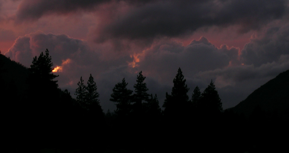
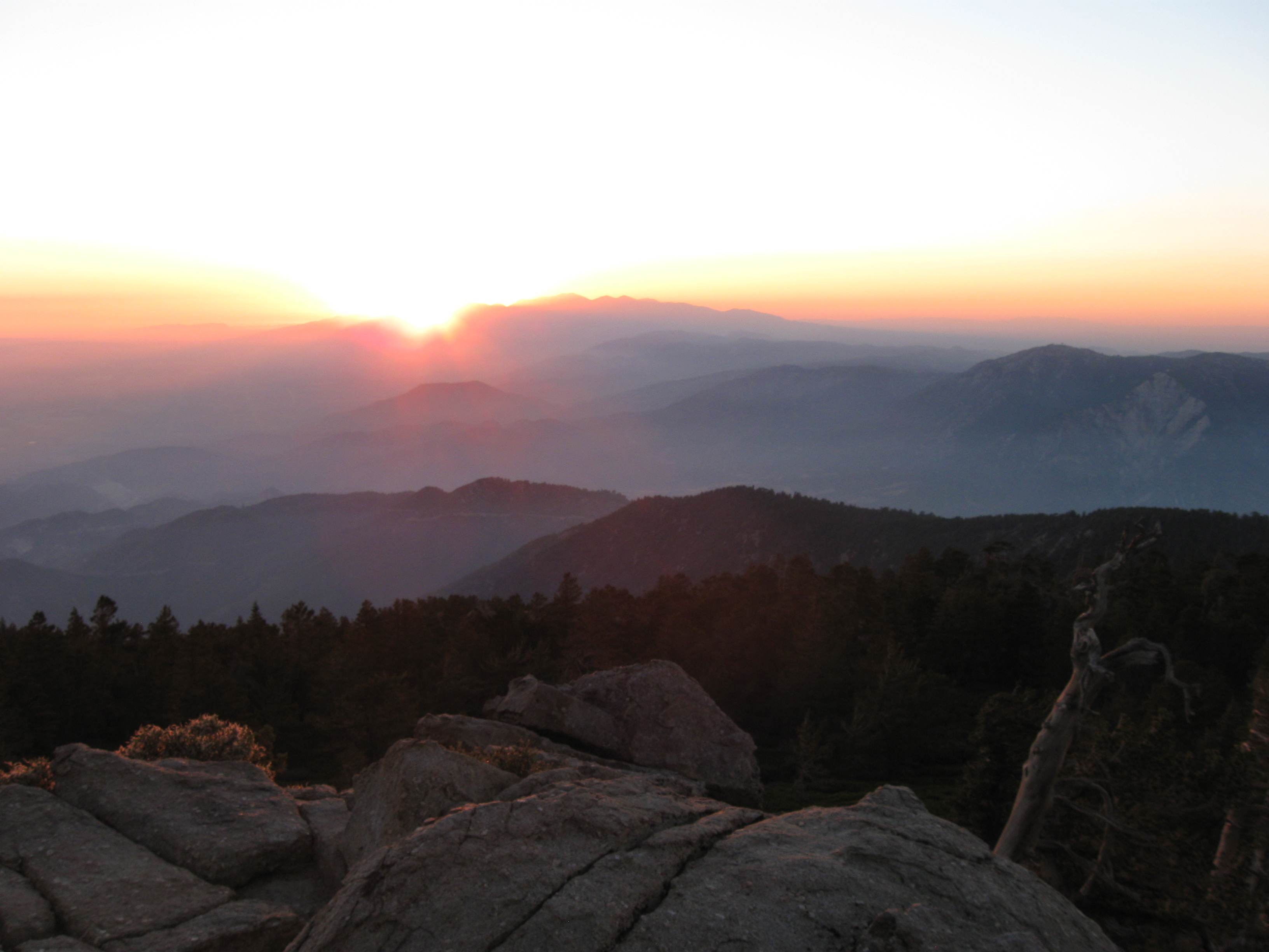
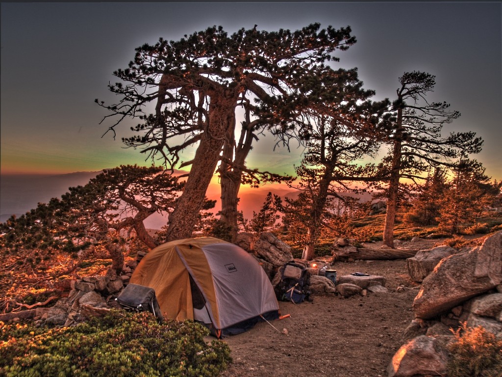
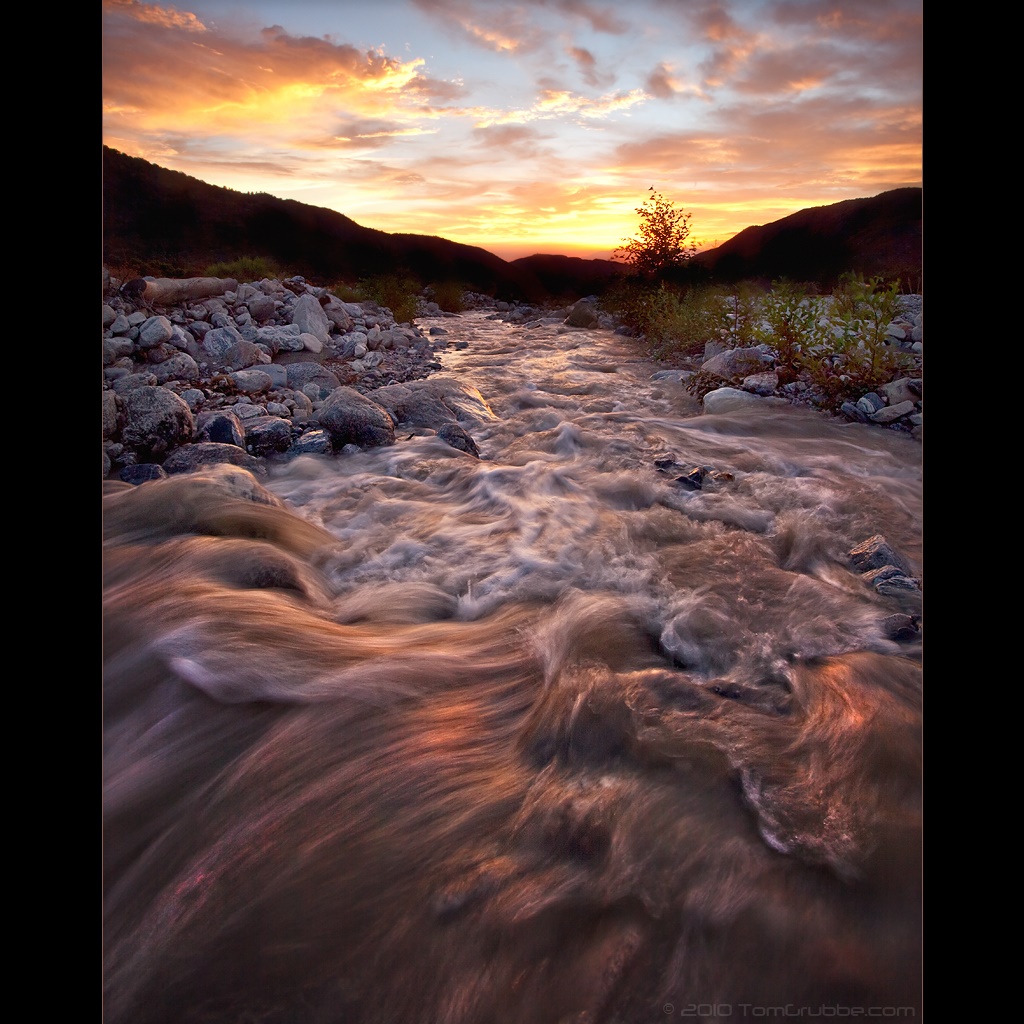
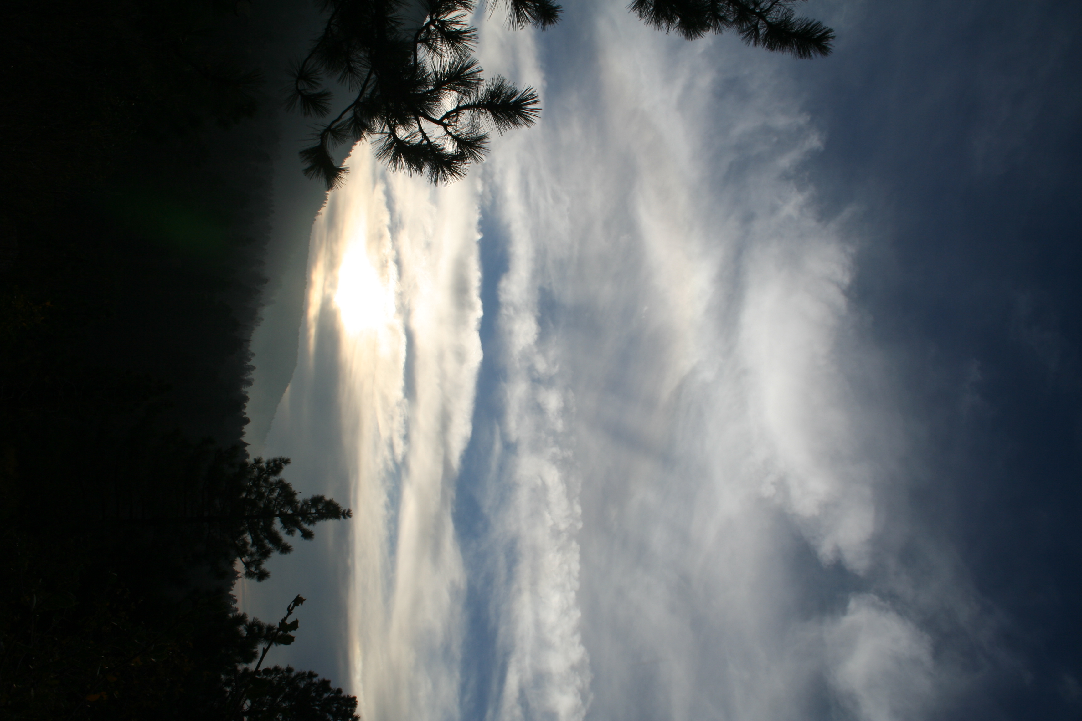
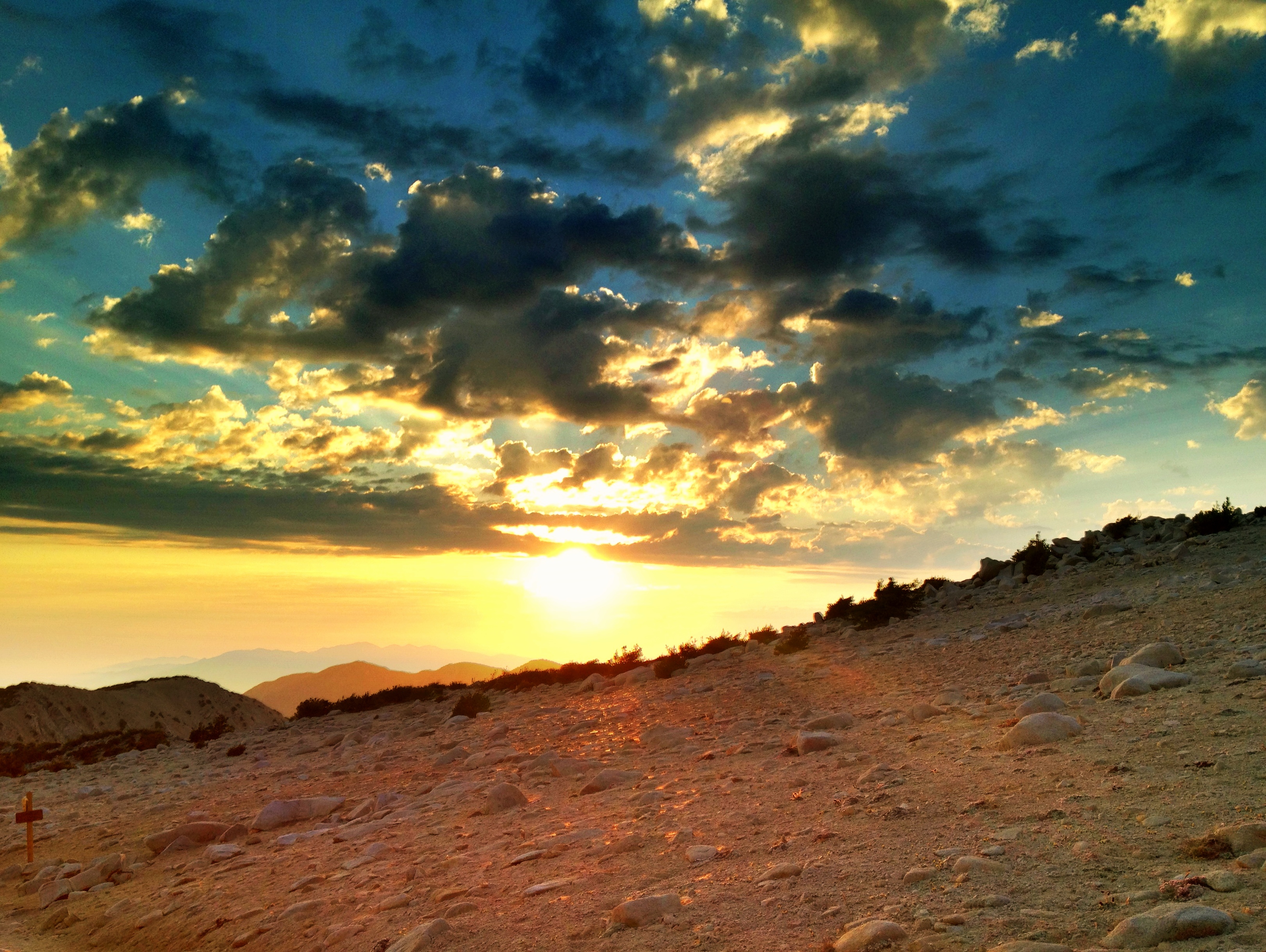
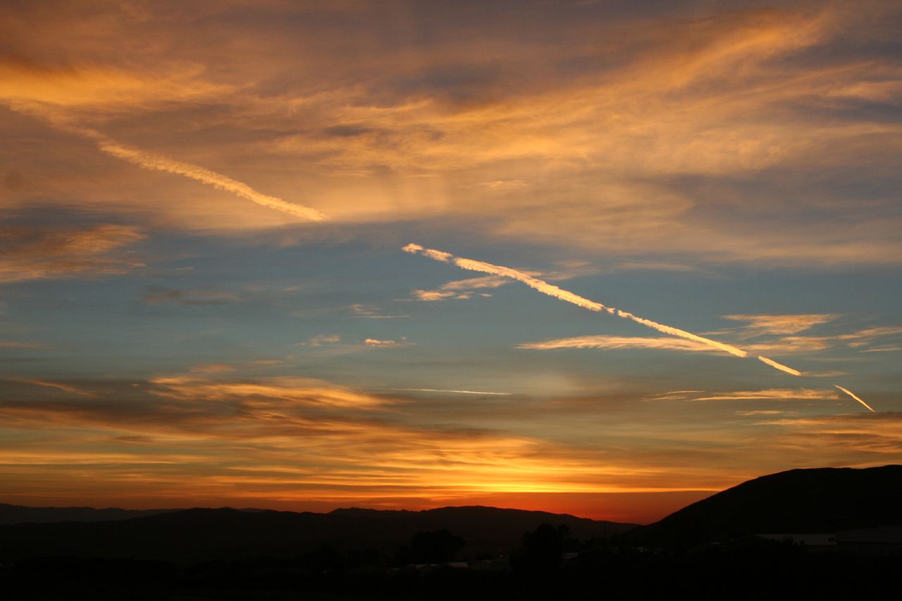
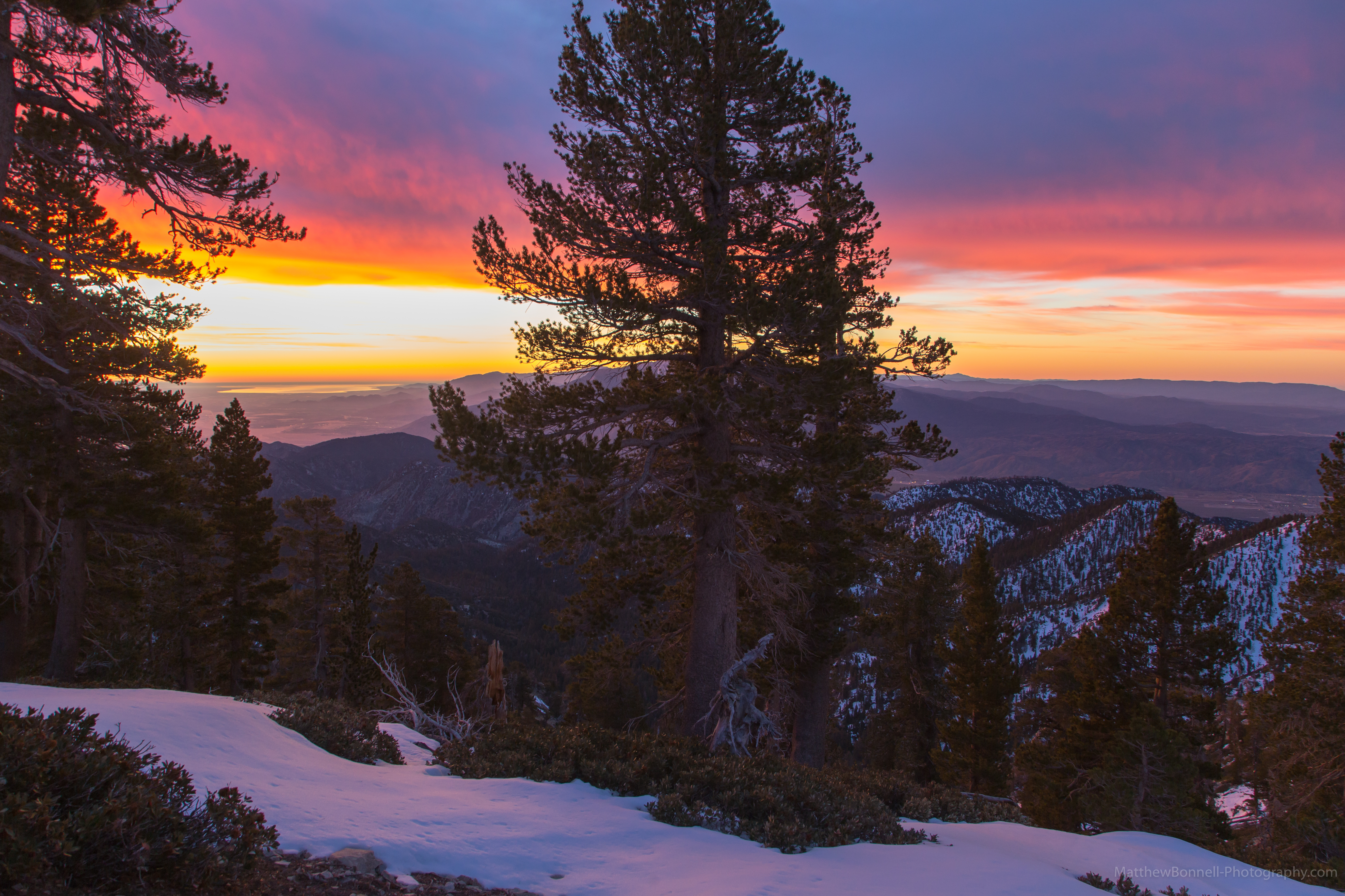
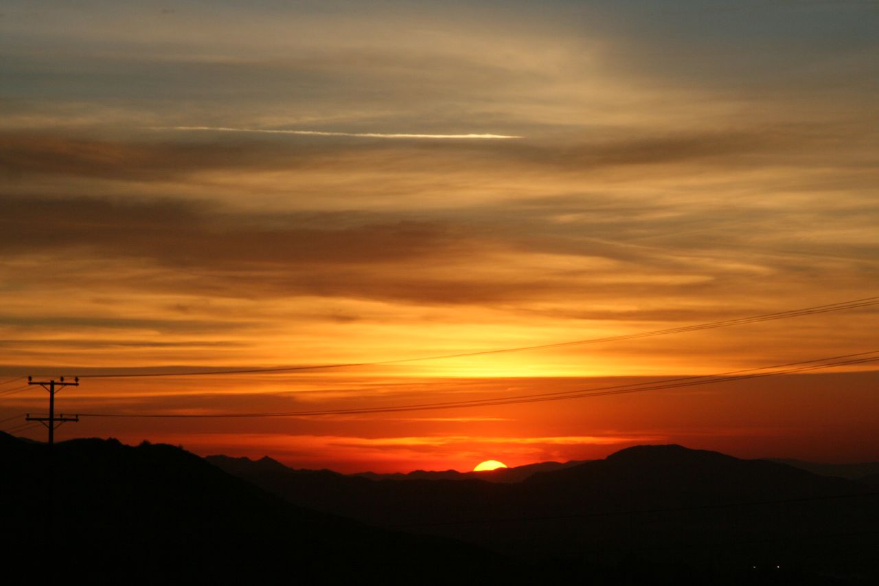
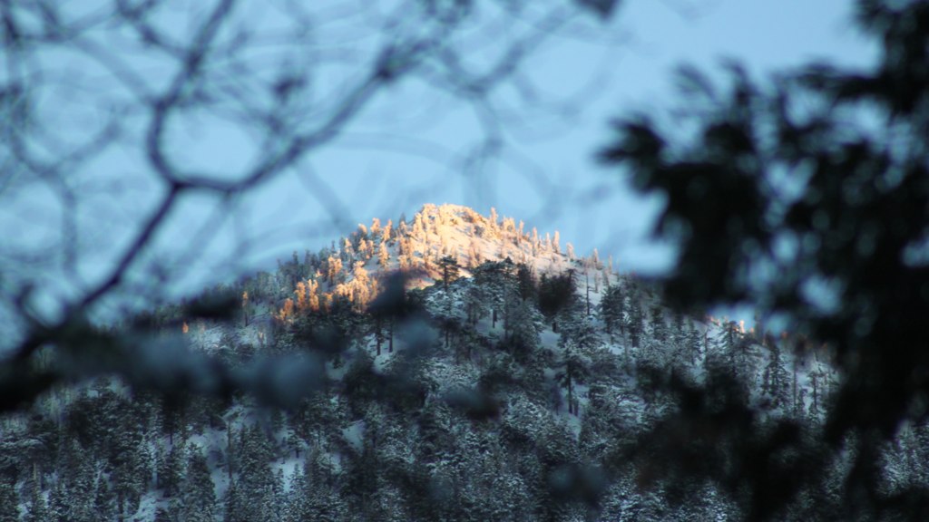
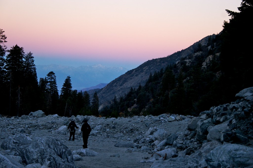
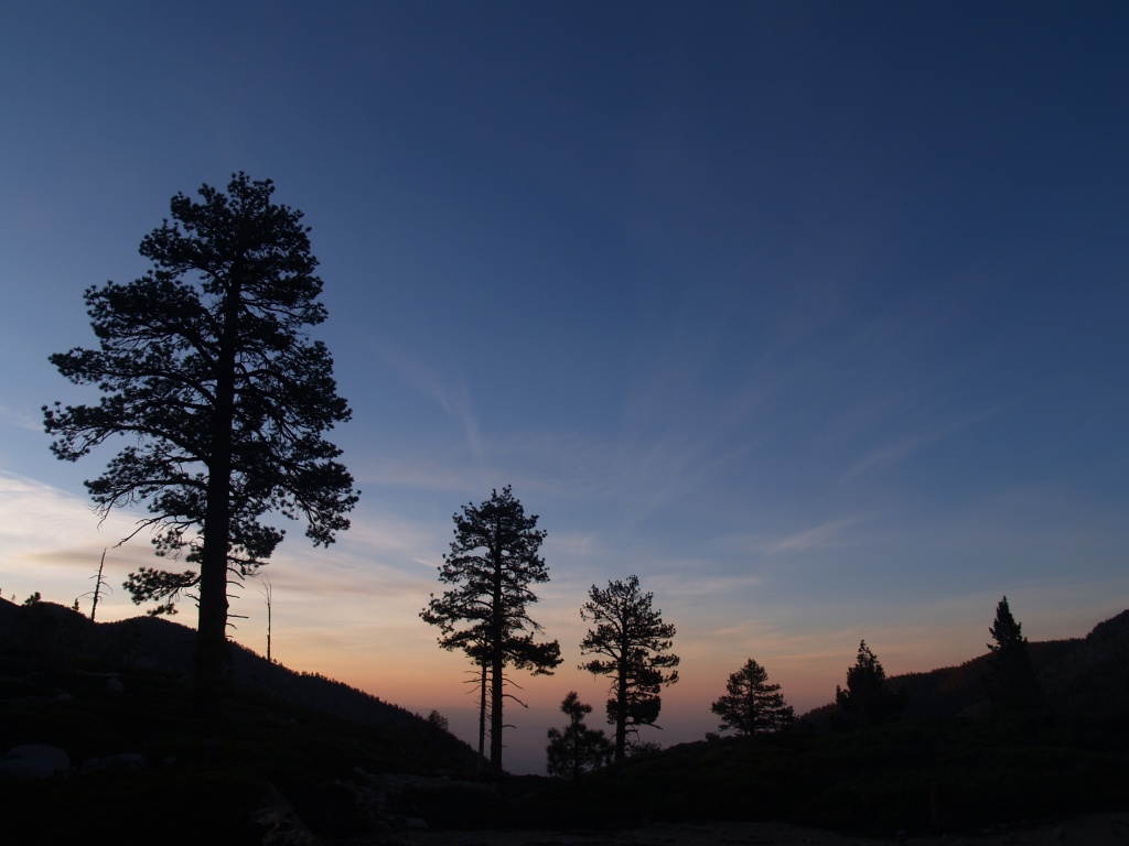
日出日落照片

Lonely Tree

Mill Creek Storm Sunset

Mill Creek and Storm III

Bastille Day, 2014

Beautiful sunset tonight
Sunset and Pines

Frank and the sunset
Lovely sunset
498 Limber Pine Bench sunset - HDR-fattal

Twilight Rocks and Stream
Mill Creek Heat

2010-01-08 16.59.42
A Mountain Sunset
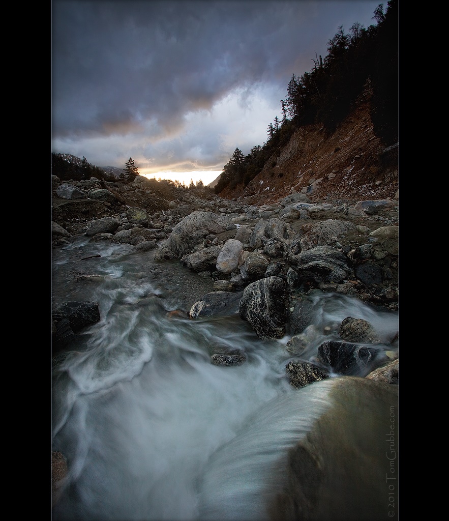
Mill Creek and Storm II
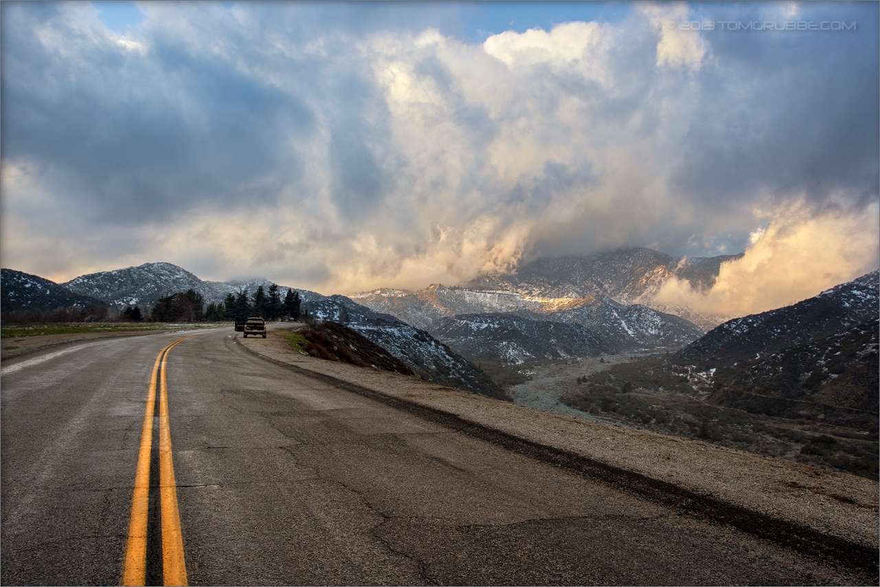
Banning Road
Sunset from the Sky High and San Bernadino Peak trail junction
Sunset in the IE 4

Sunset in the IE 3
IMG_7282.jpg
Sunset over Mentone

Sunset from San Gorgonio summit
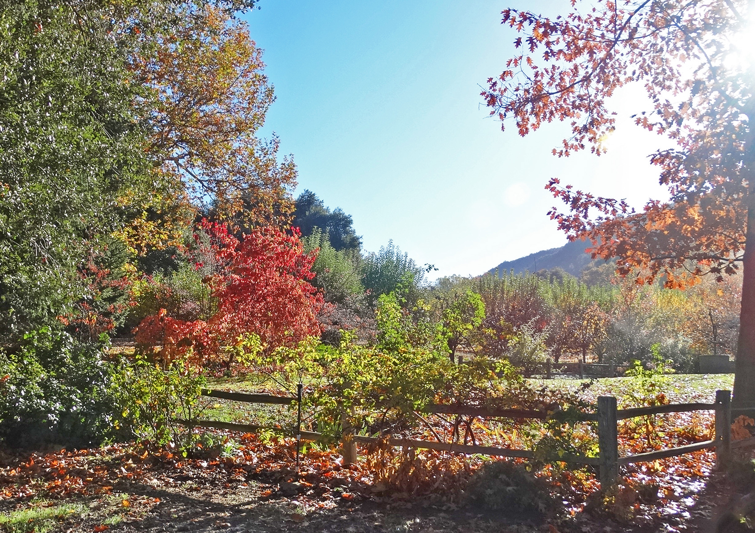
First Color, Oak Glen, CA 10-13
First daylight
Sunrise on the Trail
160 Sunrise pine tree silhouettes from Mineshaft Flat

1524 Sunrise at Trail Fork Springs Camp
morning sun feels good. #trailrunning #triathlon #training #running #swimbikerun #trails #mountains #hills #nature #outdoors #mountainrunning #instagram #sgw #momyer #iphoneonly #sunrise
AwakeningTrees, Yucaipa, CA 3-13
Sunrise Over the Ridge
Before Sunrise
0750 Dawn's first light on San Jacinto Peak from the summit of San Gorgonio Mountain
448_Mineshaft-Flat-sunrise

002 Sunrise on Highway 38 as we head into the San Gorgonio Mountains
Rock Dr, Forest Falls, CA 美國的地圖
搜索其他地方的日出日落時間
附近地點
Rock Dr, Forest Falls, CA 美國
Valley of the Falls Dr, Forest Falls, CA 美國Big Falls Lodge
Spring Dr, Forest Falls, CA 美國
Cedar Dr, California 美國Cedar Drive
Spruce Dr, Forest Falls, CA 美國
Forest Falls, CA 美國
Little San Gorgonio Peak, California 美國
Wood Rd, Forest Falls, CA 美國
Corral Rd, Forest Falls, CA 美國
Prospect Dr, Forest Falls, CA 美國
Canyon Dr, Forest Falls, CA 美國
Galena Peak, California 美國
Glen Rd, Yucaipa, CA 美國
Oak Glen Rd, Yucaipa, CA 美國
Oak Glen Rd, Yucaipa, CA 美國Oak Glen Christian Conference Center
Oak Glen Rd, Oak Glen, CA 美國
Oak Glen, CA 美國
Oak Glen Rd, Yucaipa, CA 美國Los Rios Rancho
Oak Glen Rd, Oak Glen, CA 美國Oak Tree Village
Oak Glen Rd, Oak Glen, CA 美國
最近搜索
- Red Dog Mine, AK, USA的日出日落時間表
- Am bhf, Borken, 德國Am Bahnhof的日出日落時間表
- 4th St E, Sonoma, CA 美國的日出日落時間表
- Oakland Ave, Williamsport, PA 美國的日出日落時間表
- Via Roma, Pieranica CR, 義大利的日出日落時間表
- 克羅埃西亞杜布羅夫尼克 GradClock Tower of Dubrovnik的日出日落時間表
- 阿根廷丘布特省特雷利烏的日出日落時間表
- Hartfords Bluff Cir, Mt Pleasant, SC 美國的日出日落時間表
- 日本熊本縣熊本市北區的日出日落時間表
- 中國福州市平潭縣平潭島的日出日落時間表