Rock Dr, Forest Falls, CA, USA Sonnenaufgang Sonnenuntergang Zeiten
Location: USA > Kalifornien > San Bernardino County > Forest Falls >
Zeitzone:
America/Los_Angeles
Ortszeit:
2025-07-07 10:41:15
Länge:
-116.8981886
Breite:
34.0807139
Sonnenaufgang Heute:
05:43:37 AM
Sonnenuntergang Heute:
08:02:02 PM
Tageslänge heute:
14h 18m 25s
Sonnenaufgang morgen:
05:44:10 AM
Sonnenuntergang Morgen:
08:01:45 PM
Tageslänge von morgen:
14h 17m 35s
Alle Termine anzeigen
| Datum | Sonnenaufgang | Sonnenuntergang | Tageslänge |
|---|---|---|---|
| 2025-01-01 | 06:53:24 AM | 04:50:13 PM | 9h 56m 49s |
| 2025-01-02 | 06:53:32 AM | 04:51:00 PM | 9h 57m 28s |
| 2025-01-03 | 06:53:39 AM | 04:51:48 PM | 9h 58m 9s |
| 2025-01-04 | 06:53:43 AM | 04:52:37 PM | 9h 58m 54s |
| 2025-01-05 | 06:53:46 AM | 04:53:27 PM | 9h 59m 41s |
| 2025-01-06 | 06:53:46 AM | 04:54:18 PM | 10h 0m 32s |
| 2025-01-07 | 06:53:45 AM | 04:55:10 PM | 10h 1m 25s |
| 2025-01-08 | 06:53:42 AM | 04:56:02 PM | 10h 2m 20s |
| 2025-01-09 | 06:53:37 AM | 04:56:55 PM | 10h 3m 18s |
| 2025-01-10 | 06:53:30 AM | 04:57:49 PM | 10h 4m 19s |
| 2025-01-11 | 06:53:22 AM | 04:58:44 PM | 10h 5m 22s |
| 2025-01-12 | 06:53:11 AM | 04:59:39 PM | 10h 6m 28s |
| 2025-01-13 | 06:52:59 AM | 05:00:35 PM | 10h 7m 36s |
| 2025-01-14 | 06:52:45 AM | 05:01:31 PM | 10h 8m 46s |
| 2025-01-15 | 06:52:29 AM | 05:02:28 PM | 10h 9m 59s |
| 2025-01-16 | 06:52:11 AM | 05:03:25 PM | 10h 11m 14s |
| 2025-01-17 | 06:51:51 AM | 05:04:23 PM | 10h 12m 32s |
| 2025-01-18 | 06:51:30 AM | 05:05:21 PM | 10h 13m 51s |
| 2025-01-19 | 06:51:07 AM | 05:06:19 PM | 10h 15m 12s |
| 2025-01-20 | 06:50:42 AM | 05:07:18 PM | 10h 16m 36s |
| 2025-01-21 | 06:50:15 AM | 05:08:16 PM | 10h 18m 1s |
| 2025-01-22 | 06:49:46 AM | 05:09:15 PM | 10h 19m 29s |
| 2025-01-23 | 06:49:16 AM | 05:10:14 PM | 10h 20m 58s |
| 2025-01-24 | 06:48:44 AM | 05:11:14 PM | 10h 22m 30s |
| 2025-01-25 | 06:48:10 AM | 05:12:13 PM | 10h 24m 3s |
| 2025-01-26 | 06:47:35 AM | 05:13:12 PM | 10h 25m 37s |
| 2025-01-27 | 06:46:58 AM | 05:14:12 PM | 10h 27m 14s |
| 2025-01-28 | 06:46:19 AM | 05:15:11 PM | 10h 28m 52s |
| 2025-01-29 | 06:45:39 AM | 05:16:10 PM | 10h 30m 31s |
| 2025-01-30 | 06:44:58 AM | 05:17:10 PM | 10h 32m 12s |
| 2025-01-31 | 06:44:14 AM | 05:18:09 PM | 10h 33m 55s |
| 2025-02-01 | 06:43:29 AM | 05:19:08 PM | 10h 35m 39s |
| 2025-02-02 | 06:42:43 AM | 05:20:07 PM | 10h 37m 24s |
| 2025-02-03 | 06:41:56 AM | 05:21:05 PM | 10h 39m 9s |
| 2025-02-04 | 06:41:06 AM | 05:22:04 PM | 10h 40m 58s |
| 2025-02-05 | 06:40:16 AM | 05:23:02 PM | 10h 42m 46s |
| 2025-02-06 | 06:39:24 AM | 05:24:01 PM | 10h 44m 37s |
| 2025-02-07 | 06:38:31 AM | 05:24:58 PM | 10h 46m 27s |
| 2025-02-08 | 06:37:36 AM | 05:25:56 PM | 10h 48m 20s |
| 2025-02-09 | 06:36:40 AM | 05:26:53 PM | 10h 50m 13s |
| 2025-02-10 | 06:35:43 AM | 05:27:51 PM | 10h 52m 8s |
| 2025-02-11 | 06:34:45 AM | 05:28:47 PM | 10h 54m 2s |
| 2025-02-12 | 06:33:45 AM | 05:29:44 PM | 10h 55m 59s |
| 2025-02-13 | 06:32:44 AM | 05:30:40 PM | 10h 57m 56s |
| 2025-02-14 | 06:31:43 AM | 05:31:36 PM | 10h 59m 53s |
| 2025-02-15 | 06:30:40 AM | 05:32:31 PM | 11h 1m 51s |
| 2025-02-16 | 06:29:36 AM | 05:33:27 PM | 11h 3m 51s |
| 2025-02-17 | 06:28:31 AM | 05:34:21 PM | 11h 5m 50s |
| 2025-02-18 | 06:27:25 AM | 05:35:16 PM | 11h 7m 51s |
| 2025-02-19 | 06:26:18 AM | 05:36:10 PM | 11h 9m 52s |
| 2025-02-20 | 06:25:10 AM | 05:37:04 PM | 11h 11m 54s |
| 2025-02-21 | 06:24:01 AM | 05:37:57 PM | 11h 13m 56s |
| 2025-02-22 | 06:22:51 AM | 05:38:50 PM | 11h 15m 59s |
| 2025-02-23 | 06:21:40 AM | 05:39:43 PM | 11h 18m 3s |
| 2025-02-24 | 06:20:29 AM | 05:40:36 PM | 11h 20m 7s |
| 2025-02-25 | 06:19:17 AM | 05:41:28 PM | 11h 22m 11s |
| 2025-02-26 | 06:18:04 AM | 05:42:20 PM | 11h 24m 16s |
| 2025-02-27 | 06:16:50 AM | 05:43:11 PM | 11h 26m 21s |
| 2025-02-28 | 06:15:36 AM | 05:44:02 PM | 11h 28m 26s |
| 2025-03-01 | 06:14:20 AM | 05:44:53 PM | 11h 30m 33s |
| 2025-03-02 | 06:13:05 AM | 05:45:43 PM | 11h 32m 38s |
| 2025-03-03 | 06:11:48 AM | 05:46:33 PM | 11h 34m 45s |
| 2025-03-04 | 06:10:32 AM | 05:47:23 PM | 11h 36m 51s |
| 2025-03-05 | 06:09:14 AM | 05:48:13 PM | 11h 38m 59s |
| 2025-03-06 | 06:07:56 AM | 05:49:02 PM | 11h 41m 6s |
| 2025-03-07 | 06:06:38 AM | 05:49:51 PM | 11h 43m 13s |
| 2025-03-08 | 06:05:19 AM | 05:50:40 PM | 11h 45m 21s |
| 2025-03-09 | 07:04:03 AM | 06:51:26 PM | 11h 47m 23s |
| 2025-03-10 | 07:02:43 AM | 06:52:14 PM | 11h 49m 31s |
| 2025-03-11 | 07:01:23 AM | 06:53:02 PM | 11h 51m 39s |
| 2025-03-12 | 07:00:03 AM | 06:53:50 PM | 11h 53m 47s |
| 2025-03-13 | 06:58:42 AM | 06:54:38 PM | 11h 55m 56s |
| 2025-03-14 | 06:57:21 AM | 06:55:25 PM | 11h 58m 4s |
| 2025-03-15 | 06:56:00 AM | 06:56:12 PM | 12h 0m 12s |
| 2025-03-16 | 06:54:38 AM | 06:56:59 PM | 12h 2m 21s |
| 2025-03-17 | 06:53:17 AM | 06:57:46 PM | 12h 4m 29s |
| 2025-03-18 | 06:51:55 AM | 06:58:32 PM | 12h 6m 37s |
| 2025-03-19 | 06:50:33 AM | 06:59:19 PM | 12h 8m 46s |
| 2025-03-20 | 06:49:11 AM | 07:00:05 PM | 12h 10m 54s |
| 2025-03-21 | 06:47:49 AM | 07:00:51 PM | 12h 13m 2s |
| 2025-03-22 | 06:46:27 AM | 07:01:37 PM | 12h 15m 10s |
| 2025-03-23 | 06:45:05 AM | 07:02:23 PM | 12h 17m 18s |
| 2025-03-24 | 06:43:43 AM | 07:03:09 PM | 12h 19m 26s |
| 2025-03-25 | 06:42:21 AM | 07:03:55 PM | 12h 21m 34s |
| 2025-03-26 | 06:40:59 AM | 07:04:41 PM | 12h 23m 42s |
| 2025-03-27 | 06:39:37 AM | 07:05:26 PM | 12h 25m 49s |
| 2025-03-28 | 06:38:16 AM | 07:06:12 PM | 12h 27m 56s |
| 2025-03-29 | 06:36:54 AM | 07:06:58 PM | 12h 30m 4s |
| 2025-03-30 | 06:35:33 AM | 07:07:43 PM | 12h 32m 10s |
| 2025-03-31 | 06:34:12 AM | 07:08:29 PM | 12h 34m 17s |
| 2025-04-01 | 06:32:51 AM | 07:09:14 PM | 12h 36m 23s |
| 2025-04-02 | 06:31:30 AM | 07:10:00 PM | 12h 38m 30s |
| 2025-04-03 | 06:30:10 AM | 07:10:45 PM | 12h 40m 35s |
| 2025-04-04 | 06:28:50 AM | 07:11:31 PM | 12h 42m 41s |
| 2025-04-05 | 06:27:30 AM | 07:12:16 PM | 12h 44m 46s |
| 2025-04-06 | 06:26:11 AM | 07:13:02 PM | 12h 46m 51s |
| 2025-04-07 | 06:24:52 AM | 07:13:48 PM | 12h 48m 56s |
| 2025-04-08 | 06:23:34 AM | 07:14:33 PM | 12h 50m 59s |
| 2025-04-09 | 06:22:16 AM | 07:15:19 PM | 12h 53m 3s |
| 2025-04-10 | 06:20:59 AM | 07:16:05 PM | 12h 55m 6s |
| 2025-04-11 | 06:19:42 AM | 07:16:51 PM | 12h 57m 9s |
| 2025-04-12 | 06:18:26 AM | 07:17:37 PM | 12h 59m 11s |
| 2025-04-13 | 06:17:10 AM | 07:18:23 PM | 13h 1m 13s |
| 2025-04-14 | 06:15:55 AM | 07:19:09 PM | 13h 3m 14s |
| 2025-04-15 | 06:14:41 AM | 07:19:55 PM | 13h 5m 14s |
| 2025-04-16 | 06:13:27 AM | 07:20:41 PM | 13h 7m 14s |
| 2025-04-17 | 06:12:15 AM | 07:21:27 PM | 13h 9m 12s |
| 2025-04-18 | 06:11:02 AM | 07:22:14 PM | 13h 11m 12s |
| 2025-04-19 | 06:09:51 AM | 07:23:00 PM | 13h 13m 9s |
| 2025-04-20 | 06:08:40 AM | 07:23:46 PM | 13h 15m 6s |
| 2025-04-21 | 06:07:30 AM | 07:24:33 PM | 13h 17m 3s |
| 2025-04-22 | 06:06:21 AM | 07:25:20 PM | 13h 18m 59s |
| 2025-04-23 | 06:05:13 AM | 07:26:06 PM | 13h 20m 53s |
| 2025-04-24 | 06:04:06 AM | 07:26:53 PM | 13h 22m 47s |
| 2025-04-25 | 06:03:00 AM | 07:27:40 PM | 13h 24m 40s |
| 2025-04-26 | 06:01:55 AM | 07:28:27 PM | 13h 26m 32s |
| 2025-04-27 | 06:00:50 AM | 07:29:13 PM | 13h 28m 23s |
| 2025-04-28 | 05:59:47 AM | 07:30:00 PM | 13h 30m 13s |
| 2025-04-29 | 05:58:45 AM | 07:30:47 PM | 13h 32m 2s |
| 2025-04-30 | 05:57:43 AM | 07:31:34 PM | 13h 33m 51s |
| 2025-05-01 | 05:56:43 AM | 07:32:21 PM | 13h 35m 38s |
| 2025-05-02 | 05:55:44 AM | 07:33:08 PM | 13h 37m 24s |
| 2025-05-03 | 05:54:47 AM | 07:33:55 PM | 13h 39m 8s |
| 2025-05-04 | 05:53:50 AM | 07:34:41 PM | 13h 40m 51s |
| 2025-05-05 | 05:52:54 AM | 07:35:28 PM | 13h 42m 34s |
| 2025-05-06 | 05:52:00 AM | 07:36:15 PM | 13h 44m 15s |
| 2025-05-07 | 05:51:07 AM | 07:37:01 PM | 13h 45m 54s |
| 2025-05-08 | 05:50:15 AM | 07:37:48 PM | 13h 47m 33s |
| 2025-05-09 | 05:49:25 AM | 07:38:34 PM | 13h 49m 9s |
| 2025-05-10 | 05:48:36 AM | 07:39:20 PM | 13h 50m 44s |
| 2025-05-11 | 05:47:48 AM | 07:40:06 PM | 13h 52m 18s |
| 2025-05-12 | 05:47:01 AM | 07:40:51 PM | 13h 53m 50s |
| 2025-05-13 | 05:46:16 AM | 07:41:37 PM | 13h 55m 21s |
| 2025-05-14 | 05:45:33 AM | 07:42:22 PM | 13h 56m 49s |
| 2025-05-15 | 05:44:50 AM | 07:43:07 PM | 13h 58m 17s |
| 2025-05-16 | 05:44:10 AM | 07:43:51 PM | 13h 59m 41s |
| 2025-05-17 | 05:43:30 AM | 07:44:36 PM | 14h 1m 6s |
| 2025-05-18 | 05:42:52 AM | 07:45:20 PM | 14h 2m 28s |
| 2025-05-19 | 05:42:16 AM | 07:46:03 PM | 14h 3m 47s |
| 2025-05-20 | 05:41:41 AM | 07:46:46 PM | 14h 5m 5s |
| 2025-05-21 | 05:41:07 AM | 07:47:29 PM | 14h 6m 22s |
| 2025-05-22 | 05:40:36 AM | 07:48:11 PM | 14h 7m 35s |
| 2025-05-23 | 05:40:05 AM | 07:48:52 PM | 14h 8m 47s |
| 2025-05-24 | 05:39:36 AM | 07:49:33 PM | 14h 9m 57s |
| 2025-05-25 | 05:39:09 AM | 07:50:13 PM | 14h 11m 4s |
| 2025-05-26 | 05:38:44 AM | 07:50:53 PM | 14h 12m 9s |
| 2025-05-27 | 05:38:19 AM | 07:51:32 PM | 14h 13m 13s |
| 2025-05-28 | 05:37:57 AM | 07:52:11 PM | 14h 14m 14s |
| 2025-05-29 | 05:37:36 AM | 07:52:48 PM | 14h 15m 12s |
| 2025-05-30 | 05:37:17 AM | 07:53:25 PM | 14h 16m 8s |
| 2025-05-31 | 05:36:59 AM | 07:54:01 PM | 14h 17m 2s |
| 2025-06-01 | 05:36:43 AM | 07:54:37 PM | 14h 17m 54s |
| 2025-06-02 | 05:36:29 AM | 07:55:11 PM | 14h 18m 42s |
| 2025-06-03 | 05:36:16 AM | 07:55:45 PM | 14h 19m 29s |
| 2025-06-04 | 05:36:05 AM | 07:56:17 PM | 14h 20m 12s |
| 2025-06-05 | 05:35:55 AM | 07:56:49 PM | 14h 20m 54s |
| 2025-06-06 | 05:35:47 AM | 07:57:19 PM | 14h 21m 32s |
| 2025-06-07 | 05:35:40 AM | 07:57:49 PM | 14h 22m 9s |
| 2025-06-08 | 05:35:36 AM | 07:58:17 PM | 14h 22m 41s |
| 2025-06-09 | 05:35:32 AM | 07:58:44 PM | 14h 23m 12s |
| 2025-06-10 | 05:35:31 AM | 07:59:11 PM | 14h 23m 40s |
| 2025-06-11 | 05:35:30 AM | 07:59:36 PM | 14h 24m 6s |
| 2025-06-12 | 05:35:32 AM | 07:59:59 PM | 14h 24m 27s |
| 2025-06-13 | 05:35:35 AM | 08:00:22 PM | 14h 24m 47s |
| 2025-06-14 | 05:35:39 AM | 08:00:43 PM | 14h 25m 4s |
| 2025-06-15 | 05:35:45 AM | 08:01:03 PM | 14h 25m 18s |
| 2025-06-16 | 05:35:52 AM | 08:01:22 PM | 14h 25m 30s |
| 2025-06-17 | 05:36:01 AM | 08:01:39 PM | 14h 25m 38s |
| 2025-06-18 | 05:36:11 AM | 08:01:55 PM | 14h 25m 44s |
| 2025-06-19 | 05:36:23 AM | 08:02:09 PM | 14h 25m 46s |
| 2025-06-20 | 05:36:36 AM | 08:02:22 PM | 14h 25m 46s |
| 2025-06-21 | 05:36:51 AM | 08:02:34 PM | 14h 25m 43s |
| 2025-06-22 | 05:37:06 AM | 08:02:44 PM | 14h 25m 38s |
| 2025-06-23 | 05:37:24 AM | 08:02:53 PM | 14h 25m 29s |
| 2025-06-24 | 05:37:42 AM | 08:03:00 PM | 14h 25m 18s |
| 2025-06-25 | 05:38:02 AM | 08:03:05 PM | 14h 25m 3s |
| 2025-06-26 | 05:38:23 AM | 08:03:09 PM | 14h 24m 46s |
| 2025-06-27 | 05:38:45 AM | 08:03:12 PM | 14h 24m 27s |
| 2025-06-28 | 05:39:08 AM | 08:03:13 PM | 14h 24m 5s |
| 2025-06-29 | 05:39:32 AM | 08:03:12 PM | 14h 23m 40s |
| 2025-06-30 | 05:39:58 AM | 08:03:09 PM | 14h 23m 11s |
| 2025-07-01 | 05:40:24 AM | 08:03:05 PM | 14h 22m 41s |
| 2025-07-02 | 05:40:52 AM | 08:03:00 PM | 14h 22m 8s |
| 2025-07-03 | 05:41:21 AM | 08:02:53 PM | 14h 21m 32s |
| 2025-07-04 | 05:41:50 AM | 08:02:44 PM | 14h 20m 54s |
| 2025-07-05 | 05:42:21 AM | 08:02:33 PM | 14h 20m 12s |
| 2025-07-06 | 05:42:52 AM | 08:02:21 PM | 14h 19m 29s |
| 2025-07-07 | 05:43:25 AM | 08:02:07 PM | 14h 18m 42s |
| 2025-07-08 | 05:43:58 AM | 08:01:52 PM | 14h 17m 54s |
| 2025-07-09 | 05:44:32 AM | 08:01:35 PM | 14h 17m 3s |
| 2025-07-10 | 05:45:06 AM | 08:01:16 PM | 14h 16m 10s |
| 2025-07-11 | 05:45:42 AM | 08:00:55 PM | 14h 15m 13s |
| 2025-07-12 | 05:46:18 AM | 08:00:33 PM | 14h 14m 15s |
| 2025-07-13 | 05:46:55 AM | 08:00:10 PM | 14h 13m 15s |
| 2025-07-14 | 05:47:32 AM | 07:59:44 PM | 14h 12m 12s |
| 2025-07-15 | 05:48:10 AM | 07:59:18 PM | 14h 11m 8s |
| 2025-07-16 | 05:48:49 AM | 07:58:49 PM | 14h 10m 0s |
| 2025-07-17 | 05:49:28 AM | 07:58:19 PM | 14h 8m 51s |
| 2025-07-18 | 05:50:07 AM | 07:57:47 PM | 14h 7m 40s |
| 2025-07-19 | 05:50:47 AM | 07:57:14 PM | 14h 6m 27s |
| 2025-07-20 | 05:51:28 AM | 07:56:39 PM | 14h 5m 11s |
| 2025-07-21 | 05:52:08 AM | 07:56:03 PM | 14h 3m 55s |
| 2025-07-22 | 05:52:50 AM | 07:55:25 PM | 14h 2m 35s |
| 2025-07-23 | 05:53:31 AM | 07:54:46 PM | 14h 1m 15s |
| 2025-07-24 | 05:54:13 AM | 07:54:05 PM | 13h 59m 52s |
| 2025-07-25 | 05:54:55 AM | 07:53:22 PM | 13h 58m 27s |
| 2025-07-26 | 05:55:37 AM | 07:52:39 PM | 13h 57m 2s |
| 2025-07-27 | 05:56:20 AM | 07:51:53 PM | 13h 55m 33s |
| 2025-07-28 | 05:57:03 AM | 07:51:07 PM | 13h 54m 4s |
| 2025-07-29 | 05:57:46 AM | 07:50:19 PM | 13h 52m 33s |
| 2025-07-30 | 05:58:29 AM | 07:49:29 PM | 13h 51m 0s |
| 2025-07-31 | 05:59:12 AM | 07:48:38 PM | 13h 49m 26s |
| 2025-08-01 | 05:59:56 AM | 07:47:46 PM | 13h 47m 50s |
| 2025-08-02 | 06:00:39 AM | 07:46:53 PM | 13h 46m 14s |
| 2025-08-03 | 06:01:23 AM | 07:45:58 PM | 13h 44m 35s |
| 2025-08-04 | 06:02:06 AM | 07:45:02 PM | 13h 42m 56s |
| 2025-08-05 | 06:02:50 AM | 07:44:05 PM | 13h 41m 15s |
| 2025-08-06 | 06:03:33 AM | 07:43:07 PM | 13h 39m 34s |
| 2025-08-07 | 06:04:17 AM | 07:42:07 PM | 13h 37m 50s |
| 2025-08-08 | 06:05:01 AM | 07:41:07 PM | 13h 36m 6s |
| 2025-08-09 | 06:05:44 AM | 07:40:05 PM | 13h 34m 21s |
| 2025-08-10 | 06:06:28 AM | 07:39:02 PM | 13h 32m 34s |
| 2025-08-11 | 06:07:12 AM | 07:37:58 PM | 13h 30m 46s |
| 2025-08-12 | 06:07:55 AM | 07:36:53 PM | 13h 28m 58s |
| 2025-08-13 | 06:08:38 AM | 07:35:47 PM | 13h 27m 9s |
| 2025-08-14 | 06:09:22 AM | 07:34:39 PM | 13h 25m 17s |
| 2025-08-15 | 06:10:05 AM | 07:33:31 PM | 13h 23m 26s |
| 2025-08-16 | 06:10:48 AM | 07:32:22 PM | 13h 21m 34s |
| 2025-08-17 | 06:11:31 AM | 07:31:13 PM | 13h 19m 42s |
| 2025-08-18 | 06:12:14 AM | 07:30:02 PM | 13h 17m 48s |
| 2025-08-19 | 06:12:57 AM | 07:28:50 PM | 13h 15m 53s |
| 2025-08-20 | 06:13:40 AM | 07:27:38 PM | 13h 13m 58s |
| 2025-08-21 | 06:14:23 AM | 07:26:24 PM | 13h 12m 1s |
| 2025-08-22 | 06:15:05 AM | 07:25:10 PM | 13h 10m 5s |
| 2025-08-23 | 06:15:48 AM | 07:23:55 PM | 13h 8m 7s |
| 2025-08-24 | 06:16:30 AM | 07:22:40 PM | 13h 6m 10s |
| 2025-08-25 | 06:17:12 AM | 07:21:23 PM | 13h 4m 11s |
| 2025-08-26 | 06:17:55 AM | 07:20:07 PM | 13h 2m 12s |
| 2025-08-27 | 06:18:37 AM | 07:18:49 PM | 13h 0m 12s |
| 2025-08-28 | 06:19:19 AM | 07:17:31 PM | 12h 58m 12s |
| 2025-08-29 | 06:20:00 AM | 07:16:12 PM | 12h 56m 12s |
| 2025-08-30 | 06:20:42 AM | 07:14:53 PM | 12h 54m 11s |
| 2025-08-31 | 06:21:24 AM | 07:13:33 PM | 12h 52m 9s |
| 2025-09-01 | 06:22:05 AM | 07:12:13 PM | 12h 50m 8s |
| 2025-09-02 | 06:22:47 AM | 07:10:52 PM | 12h 48m 5s |
| 2025-09-03 | 06:23:29 AM | 07:09:31 PM | 12h 46m 2s |
| 2025-09-04 | 06:24:10 AM | 07:08:09 PM | 12h 43m 59s |
| 2025-09-05 | 06:24:51 AM | 07:06:47 PM | 12h 41m 56s |
| 2025-09-06 | 06:25:33 AM | 07:05:25 PM | 12h 39m 52s |
| 2025-09-07 | 06:26:14 AM | 07:04:02 PM | 12h 37m 48s |
| 2025-09-08 | 06:26:55 AM | 07:02:39 PM | 12h 35m 44s |
| 2025-09-09 | 06:27:37 AM | 07:01:16 PM | 12h 33m 39s |
| 2025-09-10 | 06:28:18 AM | 06:59:52 PM | 12h 31m 34s |
| 2025-09-11 | 06:28:59 AM | 06:58:28 PM | 12h 29m 29s |
| 2025-09-12 | 06:29:40 AM | 06:57:04 PM | 12h 27m 24s |
| 2025-09-13 | 06:30:22 AM | 06:55:40 PM | 12h 25m 18s |
| 2025-09-14 | 06:31:03 AM | 06:54:16 PM | 12h 23m 13s |
| 2025-09-15 | 06:31:45 AM | 06:52:52 PM | 12h 21m 7s |
| 2025-09-16 | 06:32:26 AM | 06:51:27 PM | 12h 19m 1s |
| 2025-09-17 | 06:33:08 AM | 06:50:03 PM | 12h 16m 55s |
| 2025-09-18 | 06:33:49 AM | 06:48:38 PM | 12h 14m 49s |
| 2025-09-19 | 06:34:31 AM | 06:47:14 PM | 12h 12m 43s |
| 2025-09-20 | 06:35:13 AM | 06:45:50 PM | 12h 10m 37s |
| 2025-09-21 | 06:35:55 AM | 06:44:25 PM | 12h 8m 30s |
| 2025-09-22 | 06:36:37 AM | 06:43:01 PM | 12h 6m 24s |
| 2025-09-23 | 06:37:19 AM | 06:41:37 PM | 12h 4m 18s |
| 2025-09-24 | 06:38:02 AM | 06:40:13 PM | 12h 2m 11s |
| 2025-09-25 | 06:38:44 AM | 06:38:49 PM | 12h 0m 5s |
| 2025-09-26 | 06:39:27 AM | 06:37:26 PM | 11h 57m 59s |
| 2025-09-27 | 06:40:10 AM | 06:36:02 PM | 11h 55m 52s |
| 2025-09-28 | 06:40:53 AM | 06:34:39 PM | 11h 53m 46s |
| 2025-09-29 | 06:41:37 AM | 06:33:17 PM | 11h 51m 40s |
| 2025-09-30 | 06:42:20 AM | 06:31:54 PM | 11h 49m 34s |
| 2025-10-01 | 06:43:04 AM | 06:30:32 PM | 11h 47m 28s |
| 2025-10-02 | 06:43:48 AM | 06:29:10 PM | 11h 45m 22s |
| 2025-10-03 | 06:44:33 AM | 06:27:49 PM | 11h 43m 16s |
| 2025-10-04 | 06:45:18 AM | 06:26:28 PM | 11h 41m 10s |
| 2025-10-05 | 06:46:03 AM | 06:25:08 PM | 11h 39m 5s |
| 2025-10-06 | 06:46:48 AM | 06:23:48 PM | 11h 37m 0s |
| 2025-10-07 | 06:47:33 AM | 06:22:29 PM | 11h 34m 56s |
| 2025-10-08 | 06:48:19 AM | 06:21:10 PM | 11h 32m 51s |
| 2025-10-09 | 06:49:06 AM | 06:19:52 PM | 11h 30m 46s |
| 2025-10-10 | 06:49:52 AM | 06:18:35 PM | 11h 28m 43s |
| 2025-10-11 | 06:50:39 AM | 06:17:18 PM | 11h 26m 39s |
| 2025-10-12 | 06:51:26 AM | 06:16:02 PM | 11h 24m 36s |
| 2025-10-13 | 06:52:14 AM | 06:14:46 PM | 11h 22m 32s |
| 2025-10-14 | 06:53:02 AM | 06:13:31 PM | 11h 20m 29s |
| 2025-10-15 | 06:53:50 AM | 06:12:17 PM | 11h 18m 27s |
| 2025-10-16 | 06:54:39 AM | 06:11:04 PM | 11h 16m 25s |
| 2025-10-17 | 06:55:28 AM | 06:09:52 PM | 11h 14m 24s |
| 2025-10-18 | 06:56:17 AM | 06:08:41 PM | 11h 12m 24s |
| 2025-10-19 | 06:57:07 AM | 06:07:30 PM | 11h 10m 23s |
| 2025-10-20 | 06:57:57 AM | 06:06:21 PM | 11h 8m 24s |
| 2025-10-21 | 06:58:48 AM | 06:05:12 PM | 11h 6m 24s |
| 2025-10-22 | 06:59:39 AM | 06:04:04 PM | 11h 4m 25s |
| 2025-10-23 | 07:00:30 AM | 06:02:58 PM | 11h 2m 28s |
| 2025-10-24 | 07:01:21 AM | 06:01:52 PM | 11h 0m 31s |
| 2025-10-25 | 07:02:13 AM | 06:00:48 PM | 10h 58m 35s |
| 2025-10-26 | 07:03:06 AM | 05:59:45 PM | 10h 56m 39s |
| 2025-10-27 | 07:03:59 AM | 05:58:42 PM | 10h 54m 43s |
| 2025-10-28 | 07:04:52 AM | 05:57:42 PM | 10h 52m 50s |
| 2025-10-29 | 07:05:45 AM | 05:56:42 PM | 10h 50m 57s |
| 2025-10-30 | 07:06:39 AM | 05:55:43 PM | 10h 49m 4s |
| 2025-10-31 | 07:07:33 AM | 05:54:46 PM | 10h 47m 13s |
| 2025-11-01 | 07:08:27 AM | 05:53:50 PM | 10h 45m 23s |
| 2025-11-02 | 06:09:24 AM | 04:52:53 PM | 10h 43m 29s |
| 2025-11-03 | 06:10:19 AM | 04:52:00 PM | 10h 41m 41s |
| 2025-11-04 | 06:11:14 AM | 04:51:08 PM | 10h 39m 54s |
| 2025-11-05 | 06:12:10 AM | 04:50:18 PM | 10h 38m 8s |
| 2025-11-06 | 06:13:05 AM | 04:49:29 PM | 10h 36m 24s |
| 2025-11-07 | 06:14:01 AM | 04:48:41 PM | 10h 34m 40s |
| 2025-11-08 | 06:14:57 AM | 04:47:55 PM | 10h 32m 58s |
| 2025-11-09 | 06:15:53 AM | 04:47:11 PM | 10h 31m 18s |
| 2025-11-10 | 06:16:50 AM | 04:46:28 PM | 10h 29m 38s |
| 2025-11-11 | 06:17:46 AM | 04:45:47 PM | 10h 28m 1s |
| 2025-11-12 | 06:18:43 AM | 04:45:07 PM | 10h 26m 24s |
| 2025-11-13 | 06:19:39 AM | 04:44:29 PM | 10h 24m 50s |
| 2025-11-14 | 06:20:36 AM | 04:43:53 PM | 10h 23m 17s |
| 2025-11-15 | 06:21:33 AM | 04:43:18 PM | 10h 21m 45s |
| 2025-11-16 | 06:22:29 AM | 04:42:45 PM | 10h 20m 16s |
| 2025-11-17 | 06:23:26 AM | 04:42:14 PM | 10h 18m 48s |
| 2025-11-18 | 06:24:22 AM | 04:41:45 PM | 10h 17m 23s |
| 2025-11-19 | 06:25:19 AM | 04:41:17 PM | 10h 15m 58s |
| 2025-11-20 | 06:26:15 AM | 04:40:51 PM | 10h 14m 36s |
| 2025-11-21 | 06:27:11 AM | 04:40:27 PM | 10h 13m 16s |
| 2025-11-22 | 06:28:06 AM | 04:40:05 PM | 10h 11m 59s |
| 2025-11-23 | 06:29:02 AM | 04:39:44 PM | 10h 10m 42s |
| 2025-11-24 | 06:29:57 AM | 04:39:25 PM | 10h 9m 28s |
| 2025-11-25 | 06:30:51 AM | 04:39:09 PM | 10h 8m 18s |
| 2025-11-26 | 06:31:45 AM | 04:38:54 PM | 10h 7m 9s |
| 2025-11-27 | 06:32:39 AM | 04:38:41 PM | 10h 6m 2s |
| 2025-11-28 | 06:33:33 AM | 04:38:30 PM | 10h 4m 57s |
| 2025-11-29 | 06:34:25 AM | 04:38:21 PM | 10h 3m 56s |
| 2025-11-30 | 06:35:17 AM | 04:38:13 PM | 10h 2m 56s |
| 2025-12-01 | 06:36:09 AM | 04:38:08 PM | 10h 1m 59s |
| 2025-12-02 | 06:37:00 AM | 04:38:04 PM | 10h 1m 4s |
| 2025-12-03 | 06:37:50 AM | 04:38:03 PM | 10h 0m 13s |
| 2025-12-04 | 06:38:39 AM | 04:38:03 PM | 9h 59m 24s |
| 2025-12-05 | 06:39:27 AM | 04:38:06 PM | 9h 58m 39s |
| 2025-12-06 | 06:40:15 AM | 04:38:10 PM | 9h 57m 55s |
| 2025-12-07 | 06:41:02 AM | 04:38:16 PM | 9h 57m 14s |
| 2025-12-08 | 06:41:47 AM | 04:38:24 PM | 9h 56m 37s |
| 2025-12-09 | 06:42:32 AM | 04:38:33 PM | 9h 56m 1s |
| 2025-12-10 | 06:43:15 AM | 04:38:45 PM | 9h 55m 30s |
| 2025-12-11 | 06:43:58 AM | 04:38:59 PM | 9h 55m 1s |
| 2025-12-12 | 06:44:39 AM | 04:39:14 PM | 9h 54m 35s |
| 2025-12-13 | 06:45:19 AM | 04:39:31 PM | 9h 54m 12s |
| 2025-12-14 | 06:45:58 AM | 04:39:50 PM | 9h 53m 52s |
| 2025-12-15 | 06:46:36 AM | 04:40:11 PM | 9h 53m 35s |
| 2025-12-16 | 06:47:12 AM | 04:40:33 PM | 9h 53m 21s |
| 2025-12-17 | 06:47:47 AM | 04:40:57 PM | 9h 53m 10s |
| 2025-12-18 | 06:48:20 AM | 04:41:23 PM | 9h 53m 3s |
| 2025-12-19 | 06:48:52 AM | 04:41:50 PM | 9h 52m 58s |
| 2025-12-20 | 06:49:23 AM | 04:42:19 PM | 9h 52m 56s |
| 2025-12-21 | 06:49:52 AM | 04:42:50 PM | 9h 52m 58s |
| 2025-12-22 | 06:50:19 AM | 04:43:22 PM | 9h 53m 3s |
| 2025-12-23 | 06:50:45 AM | 04:43:56 PM | 9h 53m 11s |
| 2025-12-24 | 06:51:09 AM | 04:44:31 PM | 9h 53m 22s |
| 2025-12-25 | 06:51:32 AM | 04:45:08 PM | 9h 53m 36s |
| 2025-12-26 | 06:51:53 AM | 04:45:46 PM | 9h 53m 53s |
| 2025-12-27 | 06:52:12 AM | 04:46:26 PM | 9h 54m 14s |
| 2025-12-28 | 06:52:29 AM | 04:47:06 PM | 9h 54m 37s |
| 2025-12-29 | 06:52:45 AM | 04:47:48 PM | 9h 55m 3s |
| 2025-12-30 | 06:52:59 AM | 04:48:32 PM | 9h 55m 33s |
| 2025-12-31 | 06:53:11 AM | 04:49:16 PM | 9h 56m 5s |
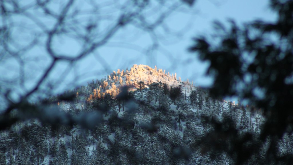
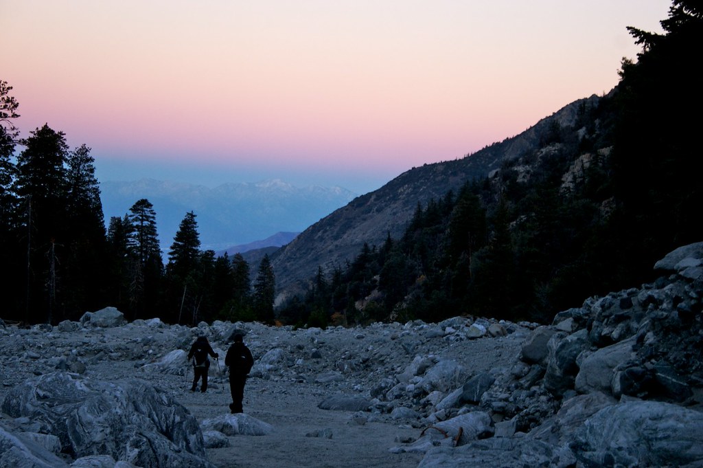
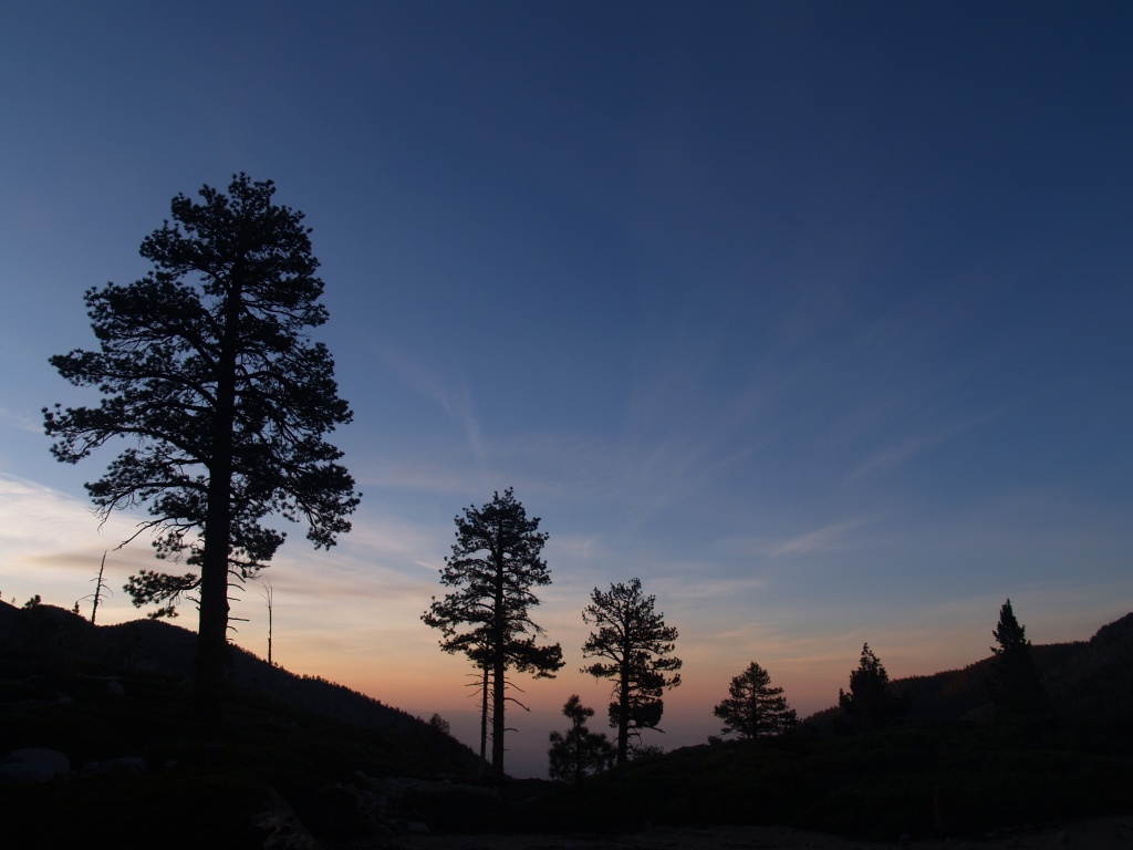
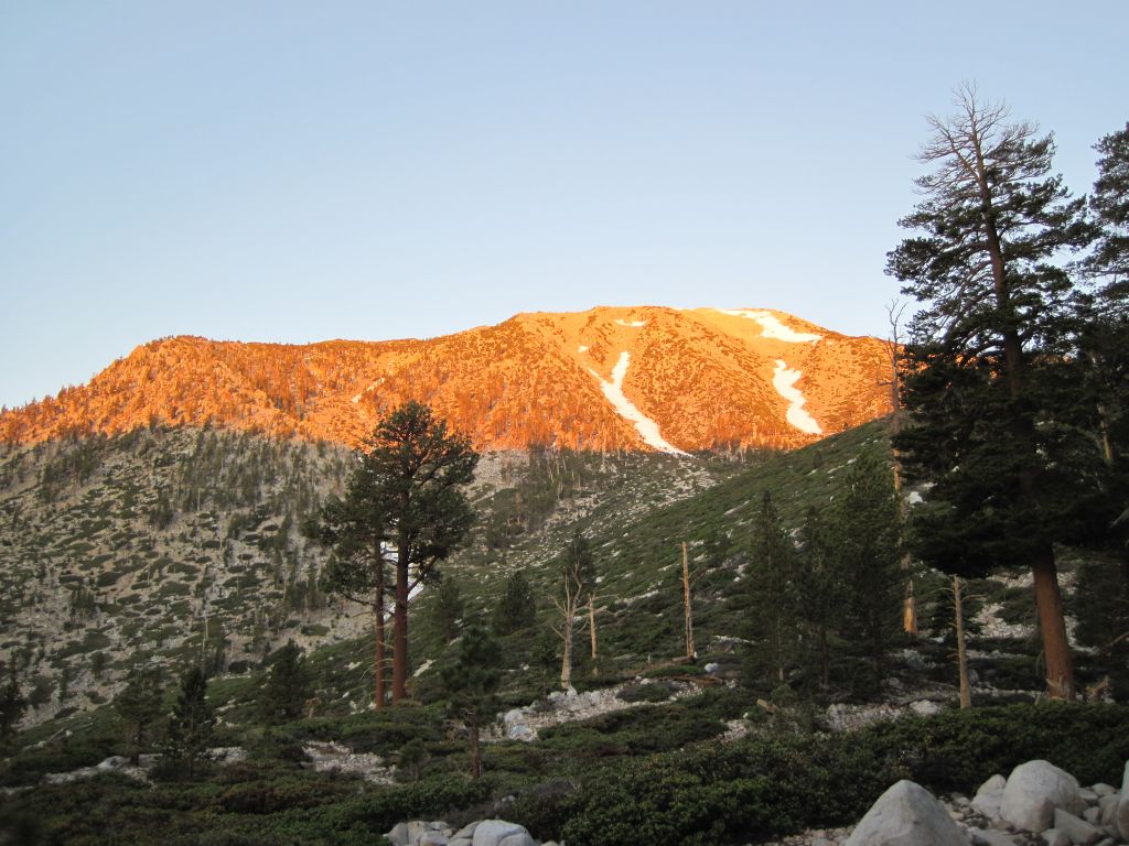
Fotos

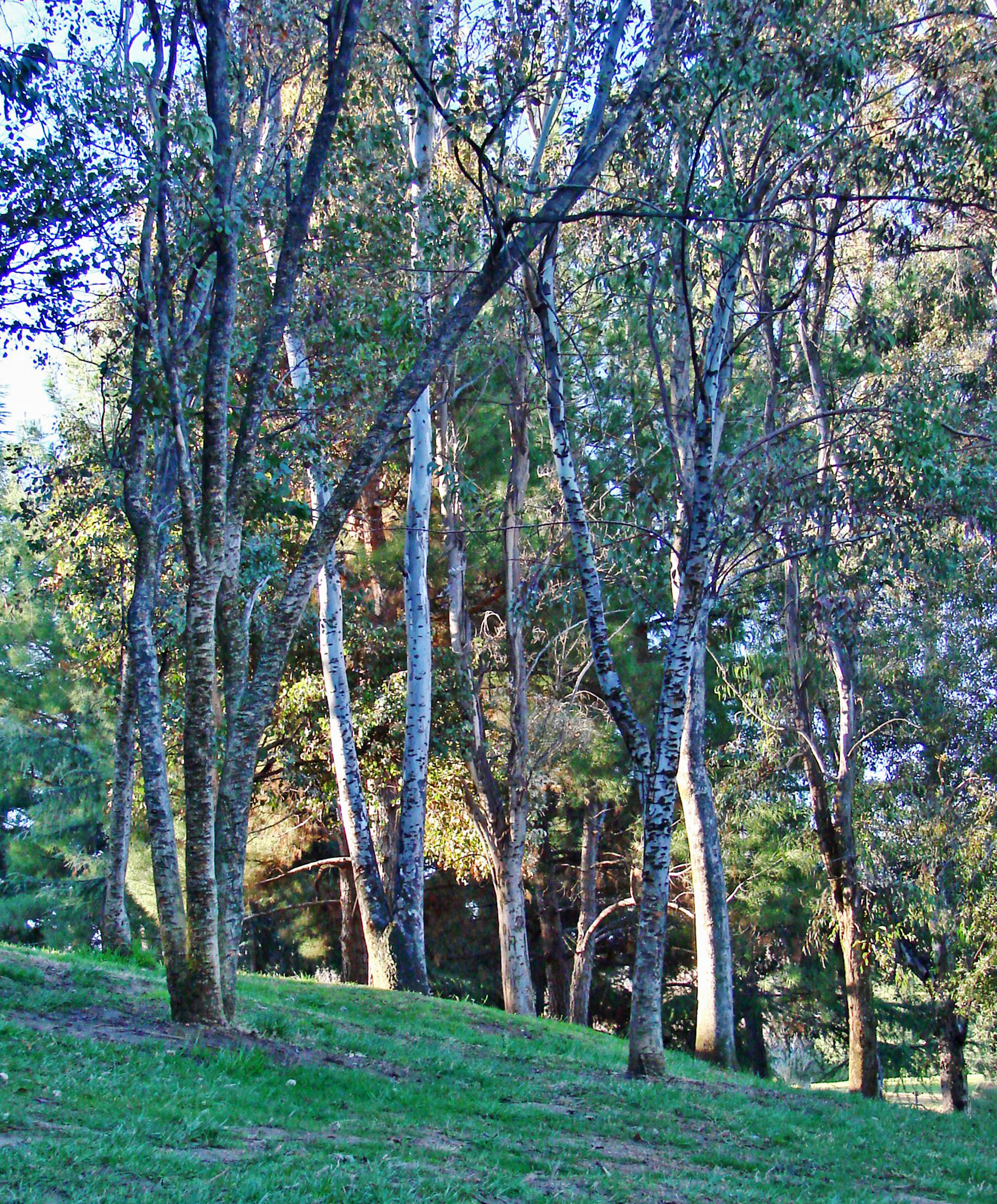
Lonely Tree

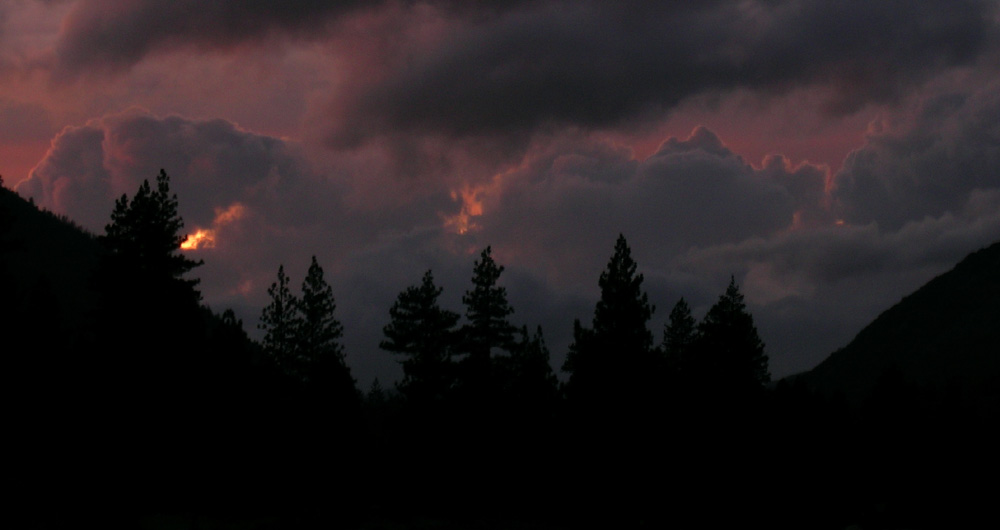
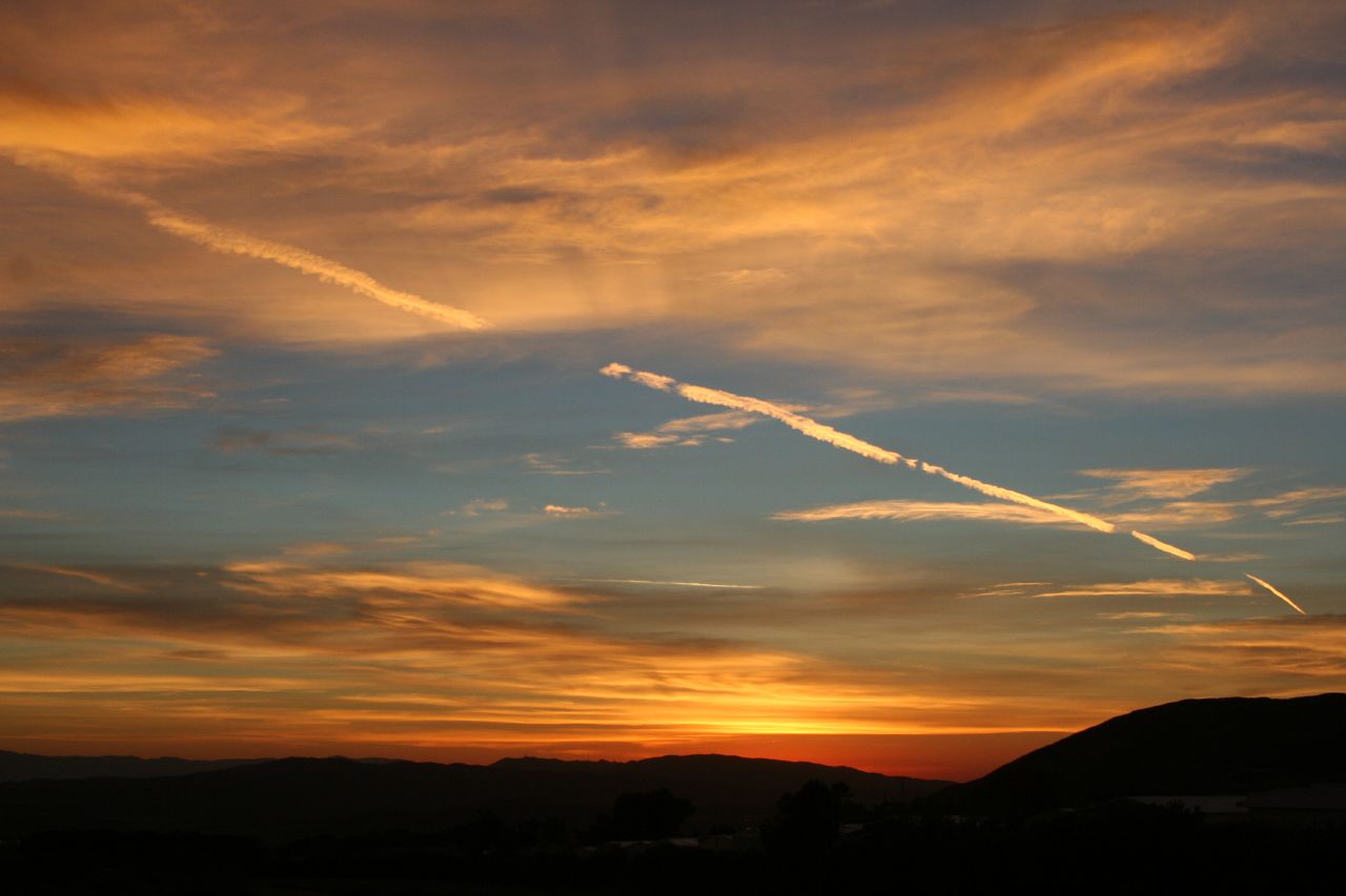
Mill Creek Storm Sunset

Mill Creek and Storm III

Bastille Day, 2014

Beautiful sunset tonight
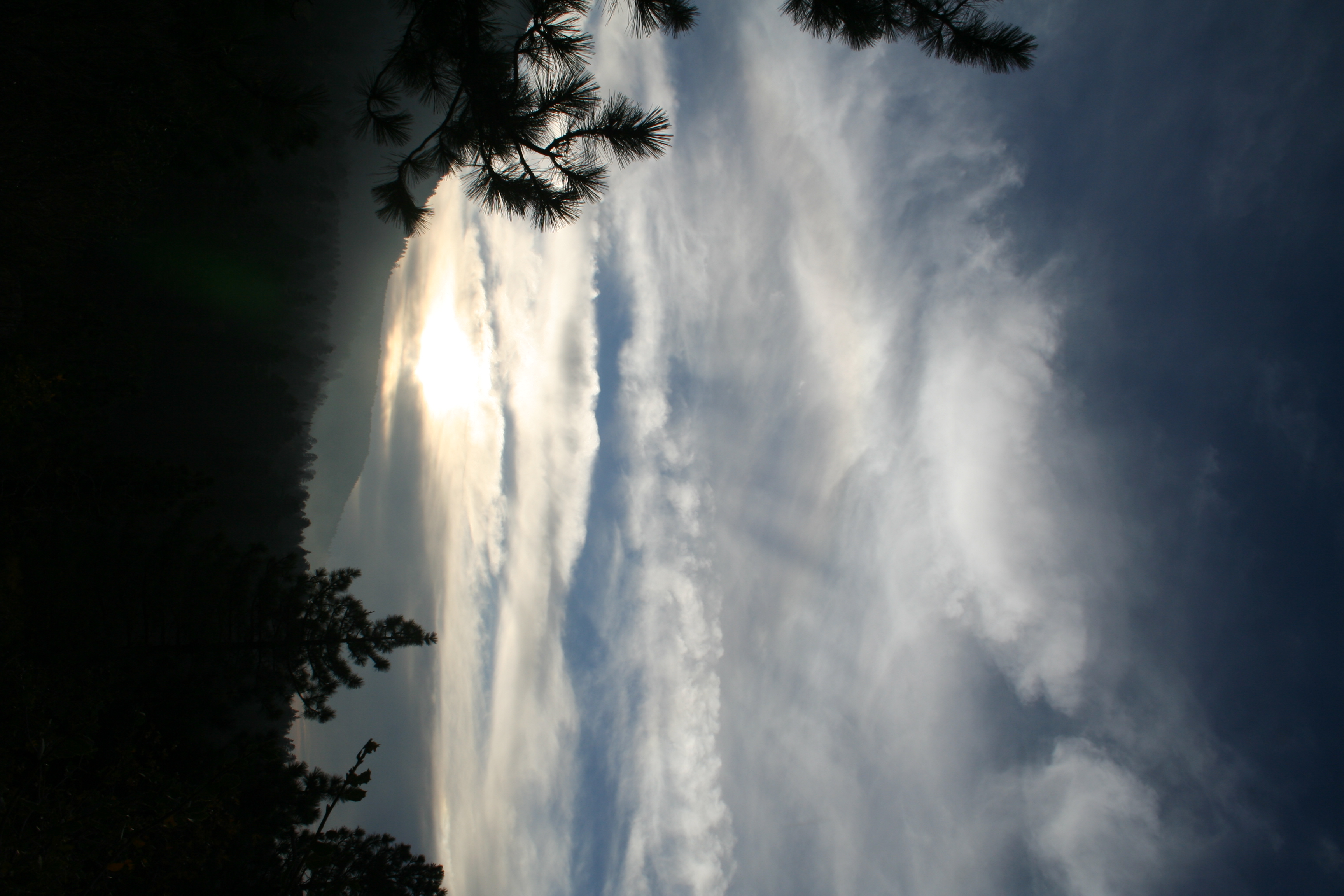
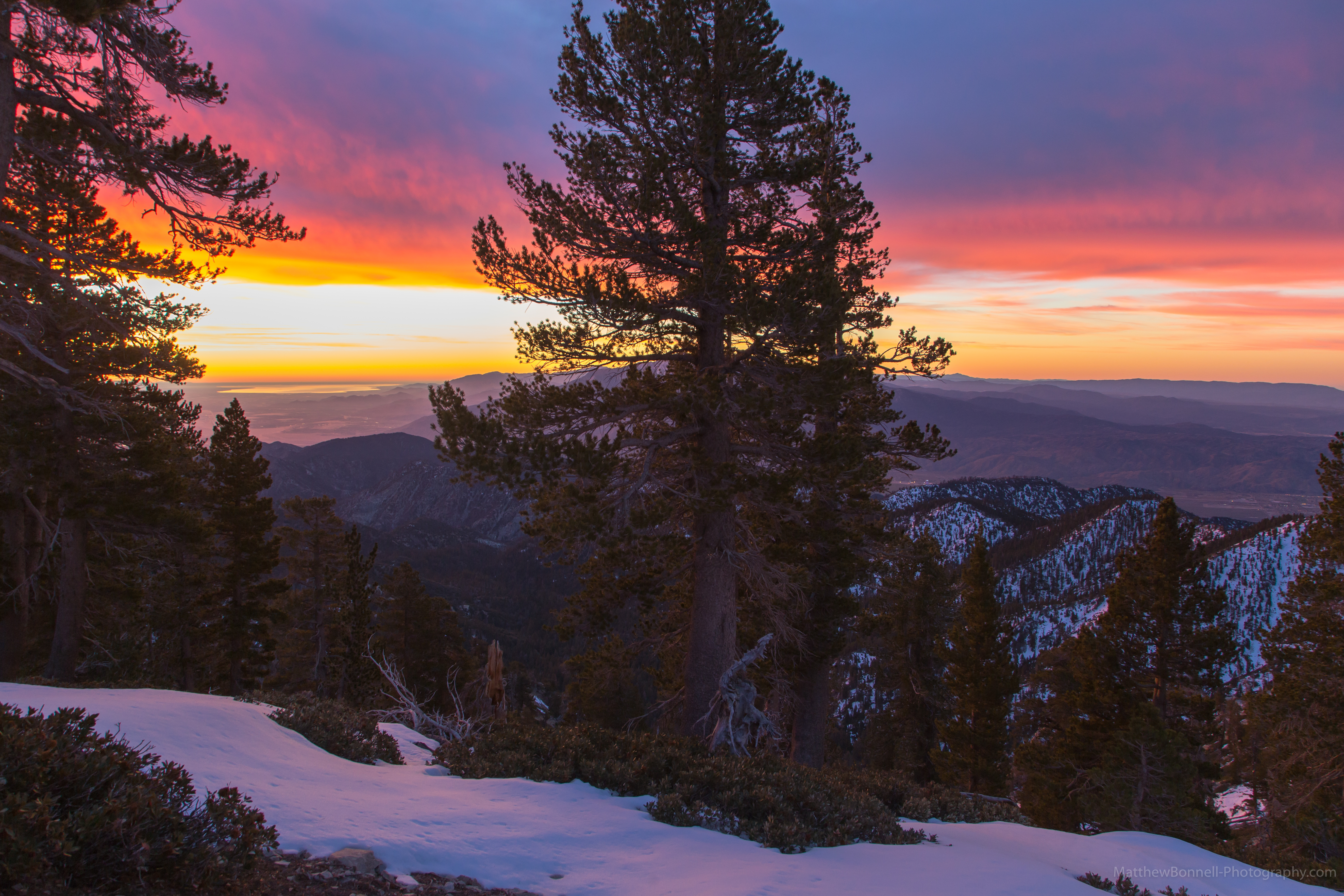
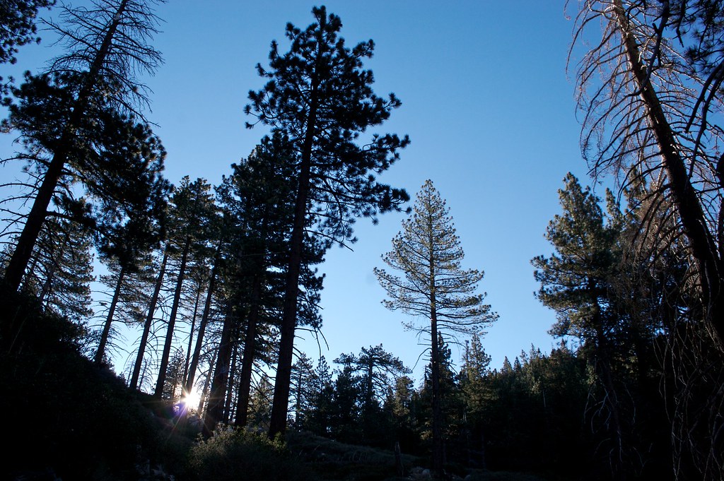
Sunset and Pines

Frank and the sunset
Lovely sunset
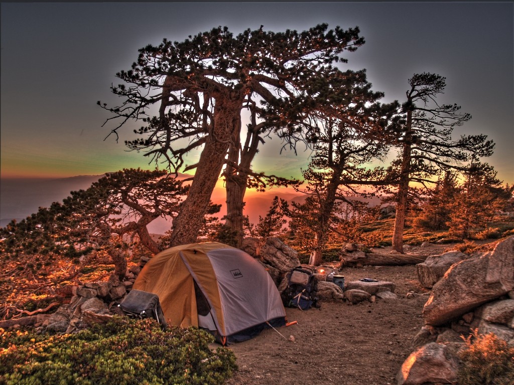
498 Limber Pine Bench sunset - HDR-fattal

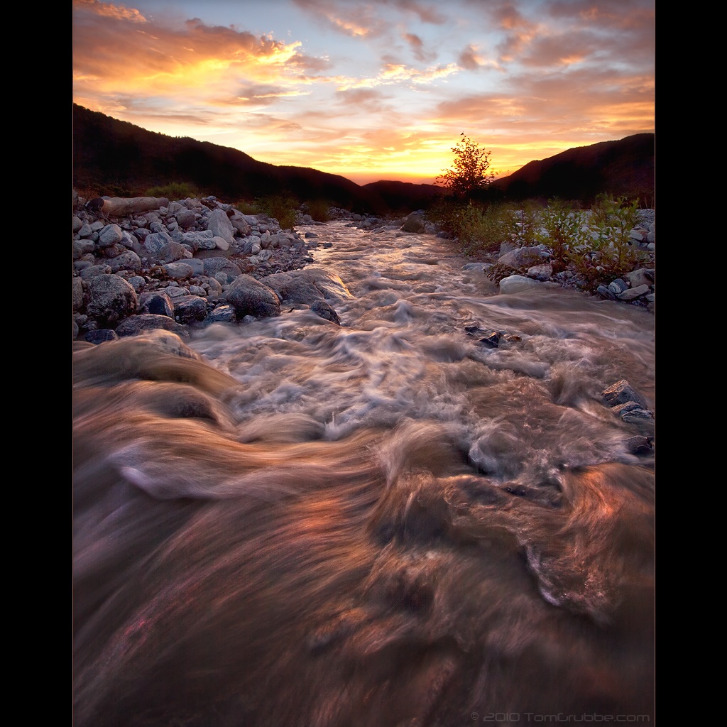
Twilight Rocks and Stream
Mill Creek Heat

2010-01-08 16.59.42
A Mountain Sunset
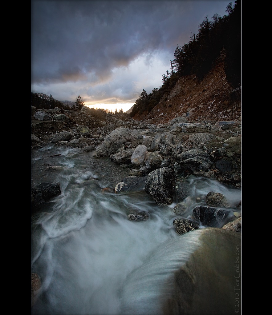
Mill Creek and Storm II
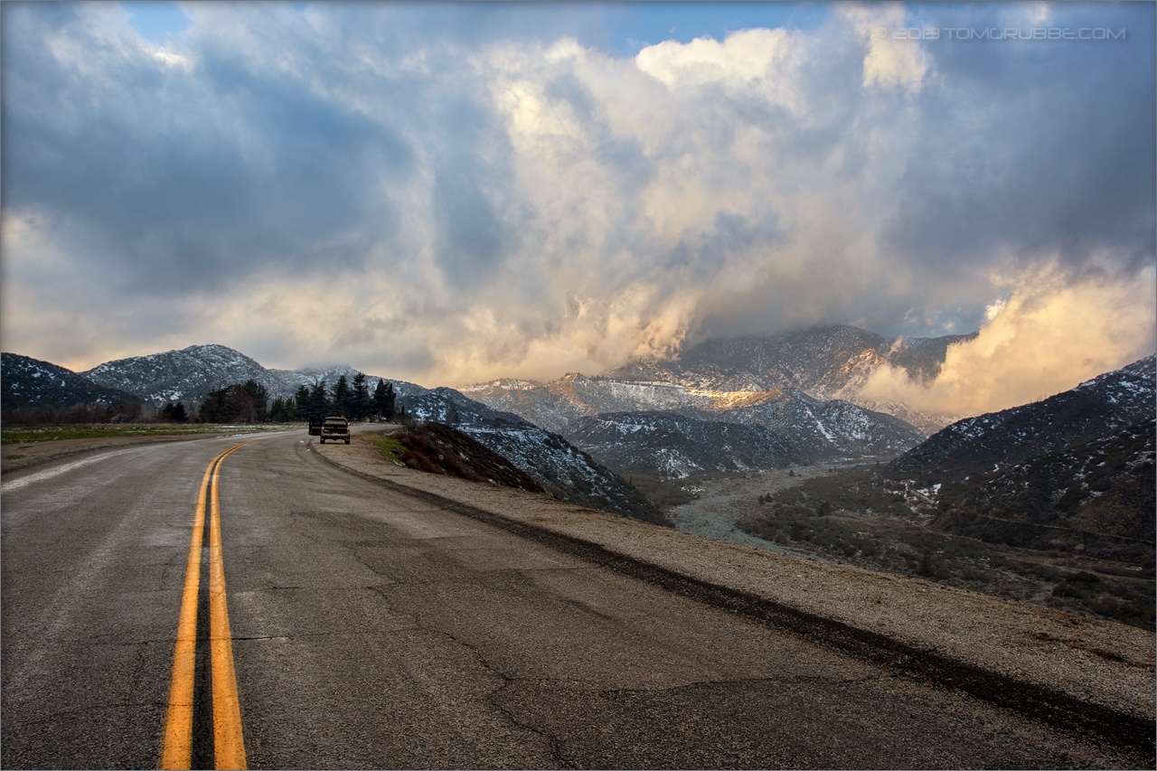
Banning Road
Sunset from the Sky High and San Bernadino Peak trail junction
Sunset in the IE 4

Sunset in the IE 3
IMG_7282.jpg
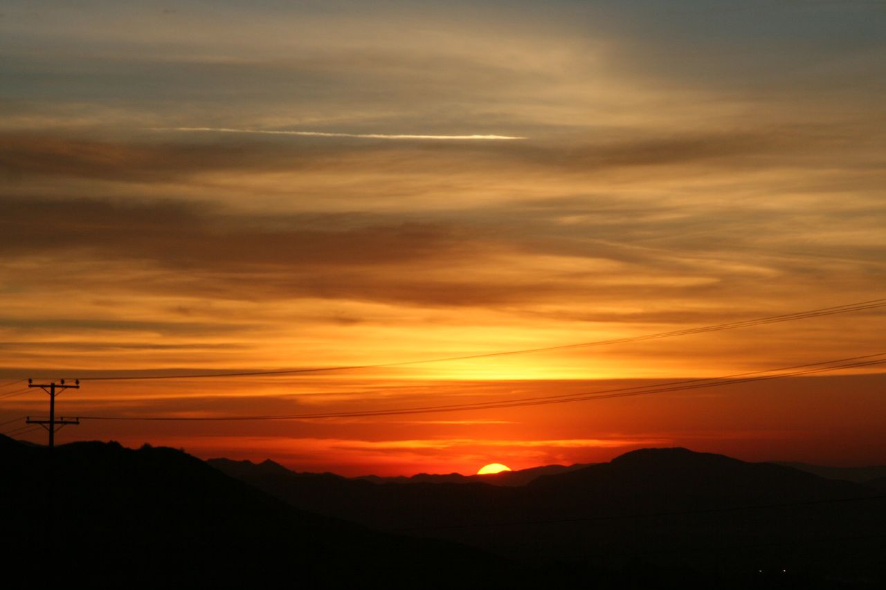
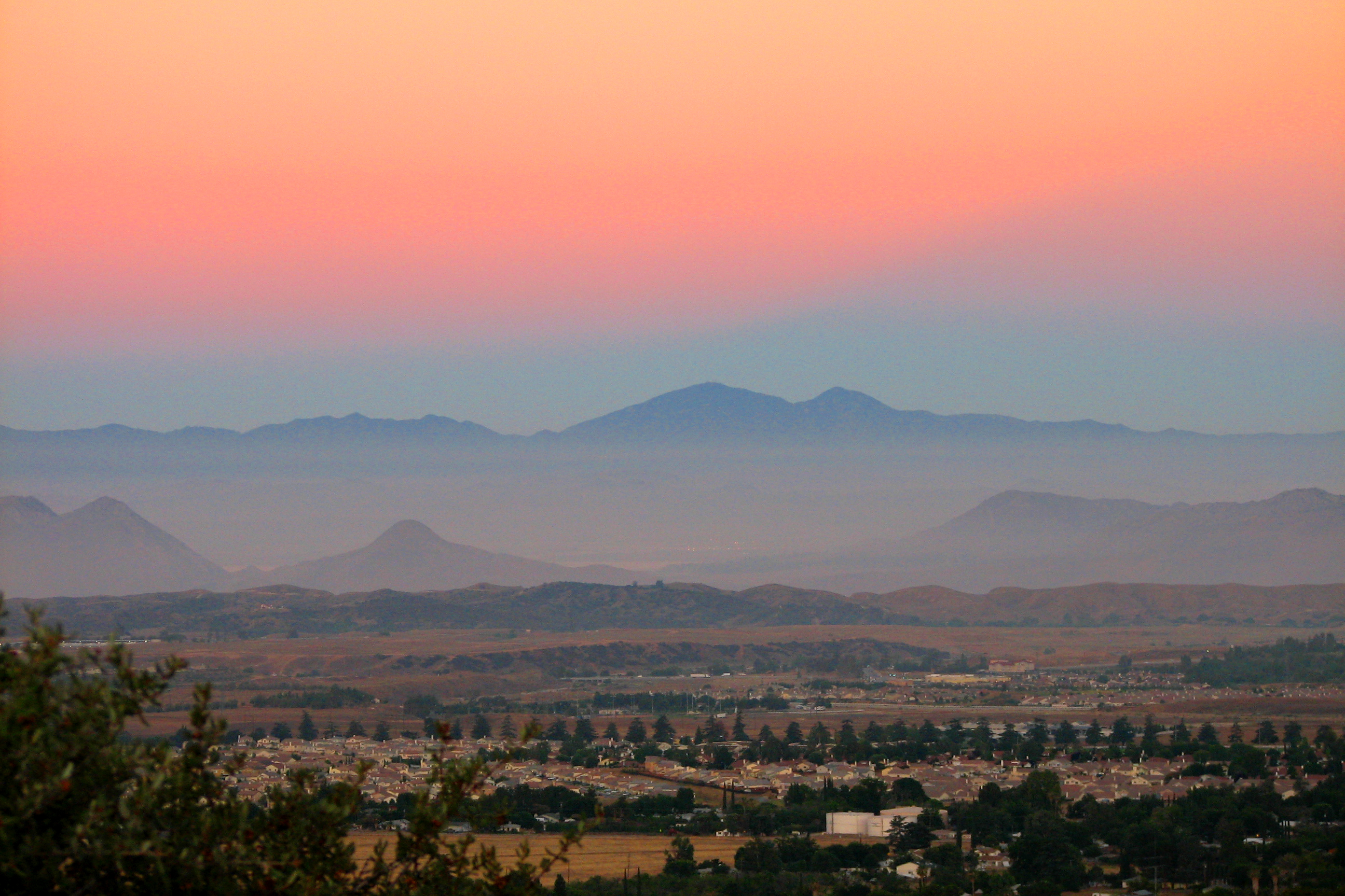
Sunset over Mentone

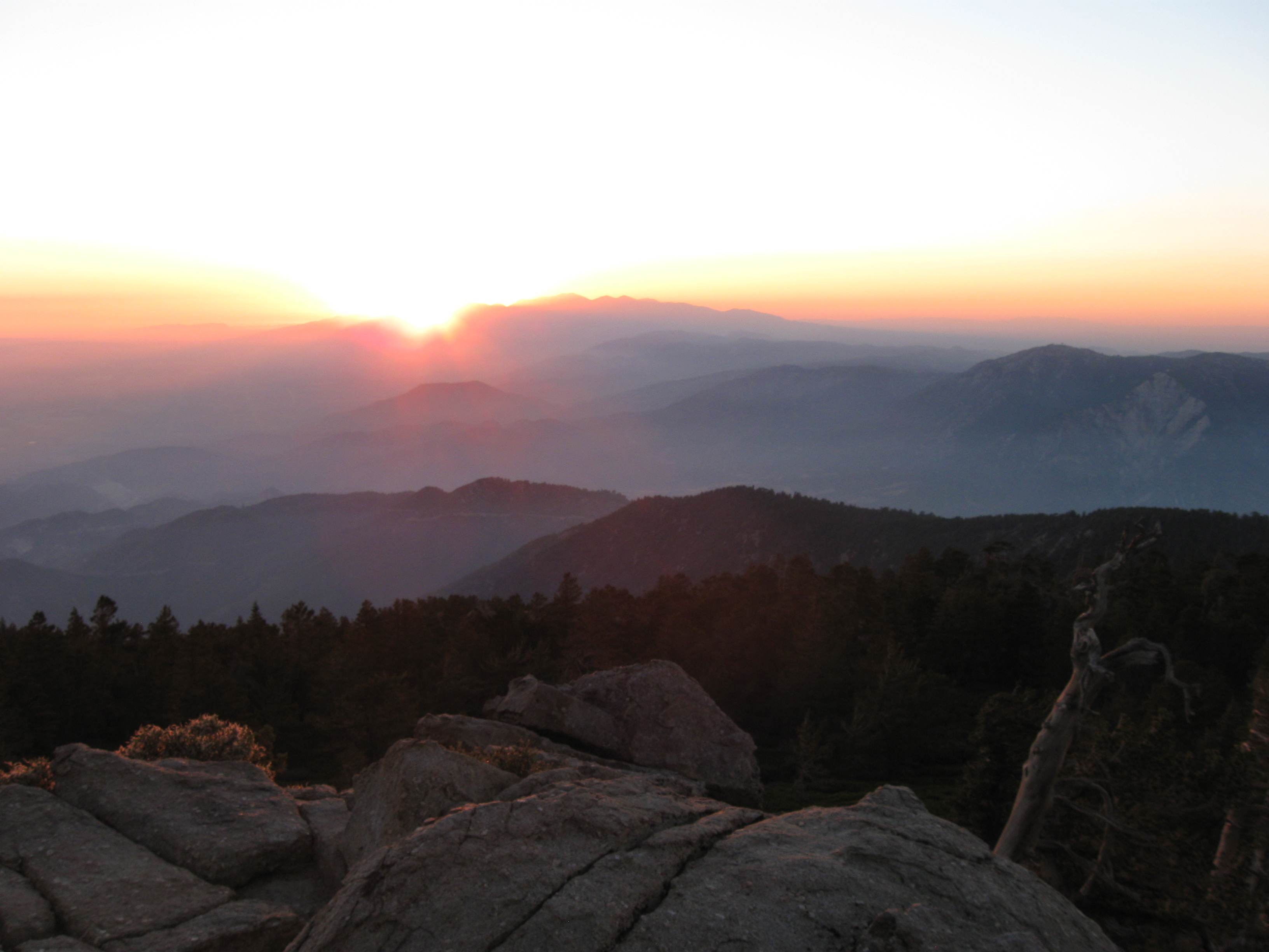
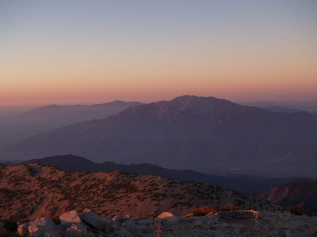
Sunset from San Gorgonio summit
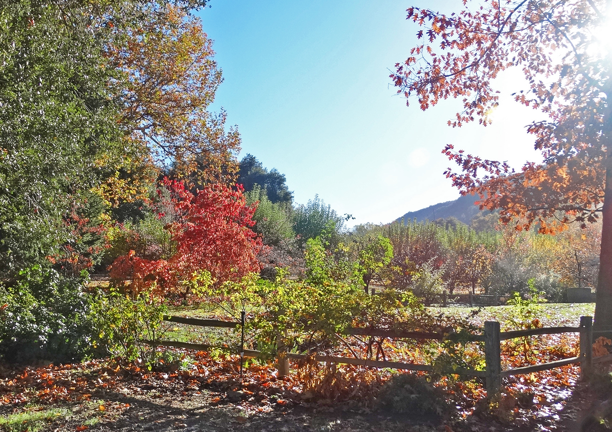
First Color, Oak Glen, CA 10-13
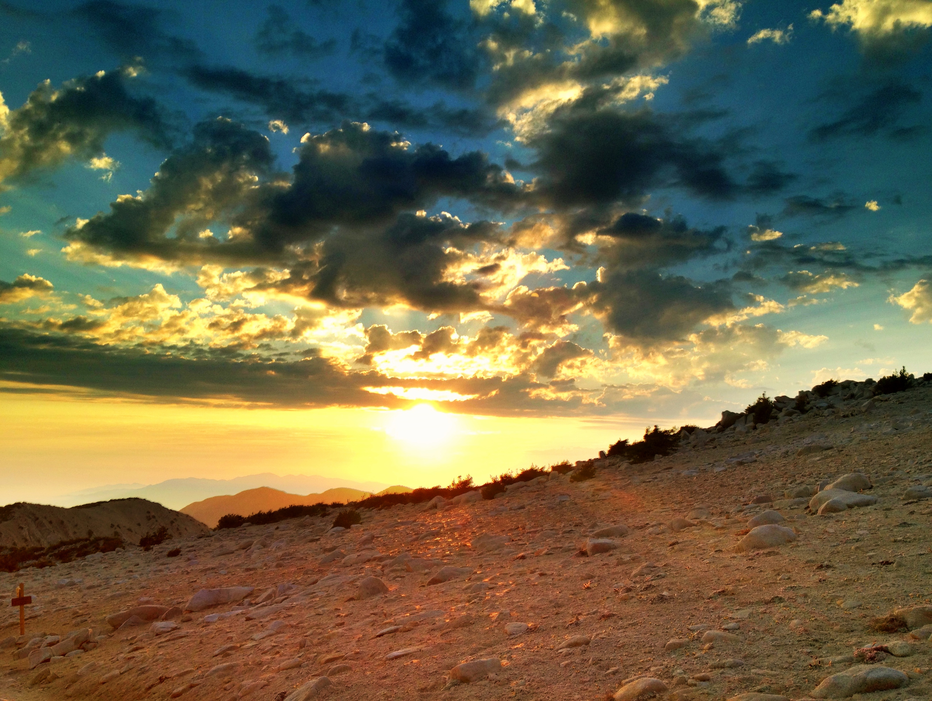
First daylight
Sunrise on the Trail
160 Sunrise pine tree silhouettes from Mineshaft Flat

1524 Sunrise at Trail Fork Springs Camp
morning sun feels good. #trailrunning #triathlon #training #running #swimbikerun #trails #mountains #hills #nature #outdoors #mountainrunning #instagram #sgw #momyer #iphoneonly #sunrise
AwakeningTrees, Yucaipa, CA 3-13
Sunrise Over the Ridge
Before Sunrise
0750 Dawn's first light on San Jacinto Peak from the summit of San Gorgonio Mountain
448_Mineshaft-Flat-sunrise

002 Sunrise on Highway 38 as we head into the San Gorgonio Mountains
Rock Dr, Forest Falls, CA, USA Karte
Suchen Sie einen anderen Ort
Nahe Plätze
Rock Dr, Forest Falls, CA, USA
Big Falls Lodge, Valley of the Falls Dr, Forest Falls, CA, USA
Spring Dr, Forest Falls, CA, USA
Cedar Drive, Cedar Dr, California, USA
Spruce Dr, Forest Falls, CA, USA
Forest Falls, CA, USA
Little San Gorgonio Peak, California, USA
Wood Rd, Forest Falls, CA, USA
Corral Rd, Forest Falls, CA, USA
Prospect Dr, Forest Falls, CA, USA
Canyon Dr, Forest Falls, CA, USA
Galena Peak, California, USA
Glen Rd, Yucaipa, CA, USA
Oak Glen Rd, Yucaipa, CA, USA
Oak Glen Christian Conference Center, Oak Glen Rd, Yucaipa, CA, USA
Oak Glen Rd, Oak Glen, CA, USA
Oak Glen, CA, USA
Los Rios Rancho, Oak Glen Rd, Yucaipa, CA, USA
Oak Tree Village, Oak Glen Rd, Oak Glen, CA, USA
Oak Glen Rd, Oak Glen, CA, USA
Letzte Suche
- Red Dog Mine, AK, USA Sonnenaufgang Sonnenuntergang Zeiten
- Am Bahnhof, Am bhf, Borken, Germany Sonnenaufgang Sonnenuntergang Zeiten
- 4th St E, Sonoma, CA, USA Sonnenaufgang Sonnenuntergang Zeiten
- Oakland Ave, Williamsport, PA, USA Sonnenaufgang Sonnenuntergang Zeiten
- Via Roma, Pieranica CR, Italien Sonnenaufgang Sonnenuntergang Zeiten
- Glockenturm, Grad, Dubrovnik, Kroatien Sonnenaufgang Sonnenuntergang Zeiten
- Trelew, Chubut Province, Argentina Sonnenaufgang Sonnenuntergang Zeiten
- Hartfords Bluff Cir, Mt Pleasant, SC, USA Sonnenaufgang Sonnenuntergang Zeiten
- Kita-ku, Kumamoto, Präfektur Kumamoto, Japan Sonnenaufgang Sonnenuntergang Zeiten
- Pingtan Island, Pingtan County, Fuzhou, China Sonnenaufgang Sonnenuntergang Zeiten