時區:太平洋標準時間
當地時間:2026年11月18日星期三 04:21
經度:-119.2815026
緯度:34.6308192
今天日出時間:06:35:13
今天日落時間:16:52:18
今天日照時長:10h 17m 5s
明天日出時間:06:36:11
明天日落時間:16:51:48
明天日照時長:10h 15m 36s

: 顯示所有日期

日期 日出 日落 日照時長
2026年1月1日 07:05:14 16:57:35 9h 52m 21s
2026年2月1日 06:57:16 17:26:23 10h 29m 6s
2026年3月1日 06:29:01 17:53:15 11h 24m 14s
2026年4月1日 06:46:39 19:18:10 12h 31m 31s
2026年5月1日 06:09:07 19:41:56 13h 32m 48s
2026年6月1日 05:47:07 20:05:27 14h 18m 20s
2026年7月1日 05:48:35 20:15:19 14h 26m 43s
2026年8月1日 06:07:45 20:01:40 13h 53m 54s
2026年9月1日 06:30:54 19:27:00 12h 56m 5s
2026年10月1日 06:52:11 18:44:28 11h 52m 16s
2026年11月1日 07:17:52 18:06:03 10h 48m 11s
2026年11月18日 06:34:15 16:52:51 10h 18m 36s
2026年11月19日 06:35:13 16:52:18 10h 17m 5s
2026年12月1日 06:46:30 16:48:08 10h 1m 37s

日出日落照片

Santa Barbara, California by Ken Lund, Santa Barbara is a city in Santa Barbara County, California, United States. Situated on an east-west
Santa Barbara, California by Ken Lund
impressions of a desert dreamscape by photography by Derek G, youtu.be/Q7sQce-rGjs?tlandscape abstract blackandwhite hills badlands desert sunrise distance infini
impressions of a desert dreamscape by photography by Derek G
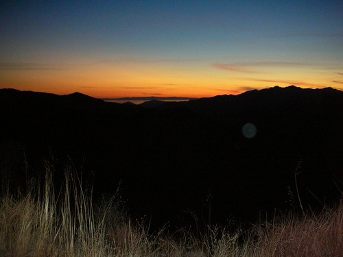
twilight campfire by photography by Derek G, taken on a short backpacking trip to the Los Padres National Forest.  i tried to photograph it just
twilight campfire by photography by Derek G
Ozena Incident by Randy Johanson Photography, 300+ acre wildfire started on 6/16/2012 in the Los Padres National Forest near the Ozena Campground
Ozena Incident by Randy Johanson Photography
Bellyache Springs by Jeff D. Muth, Bellyache Springs on Highway 33 In Los Padres National Forest. This is the water cascading down the
Bellyache Springs by Jeff D. Muth
Ozena Incident by Randy Johanson Photography, 300+ acre wildfire started on 6/16/2012 in the Los Padres National Forest near the Ozena Campground
Ozena Incident by Randy Johanson Photography
Piedra Blanca by Marc Briggs, I visited this location once as a young teenager and had been back to the general area several times
Piedra Blanca by Marc Briggs
sunset after the eclipse by photography by Derek G, california mountains hills 2012 lospadresnationalforest pinemountainroad landscapesunset eclipse2012
sunset after the eclipse by photography by Derek G
Sunset..... by PhantomPhan1974 Photography, ojai
Sunset..... by PhantomPhan1974 Photography
Silhouette by Ken Stoer, california sunset green ride ninja motorbike motorcycle biker sportbike venturacounty touring kawasa
Silhouette by Ken Stoer
The Fog Disguises the Sea by sulakkalus, california fog sunrise unitedstates ojai pwsummer
The Fog Disguises the Sea by sulakkalus
OZENA CAMP GROUND - BRUSH by Rick McClure Photography, 6-16-12   OVER 500 ACRES OF FOREST LAND BURNED AROUND THE OZENA CAMPGROUND OFF LOCKWOOD VALLEY RD NE
OZENA CAMP GROUND - BRUSH by Rick McClure Photography
iPhone_IMG_1915 by teamperks, misc tag081 add usa
iPhone_IMG_1915 by teamperks
sunset towards the ocean by szueechen, Ojai, CAojai
sunset towards the ocean by szueechen
eastern sky @ sunset by 1600 Squirrels, california usa landscape geotagged photo lenstagged 300d socal 1600squirrels drebel naphotamo ventur
eastern sky @ sunset by 1600 Squirrels
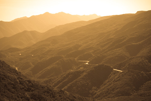
IMGP1223 by CBurrows, Route 33 North of Ojai, CA at sunset
IMGP1223 by CBurrows
DSC00098 by donfmorrison, The Sky with a pretty sunset behind a mountainous view.sky
DSC00098 by donfmorrison