| Timezone: | Pacific Standard Time |
|---|---|
| Current Time: | Monday, November 9, 2026 9:33 PM |
| Longitude: | -119.2815026 |
| Latitude: | 34.6308192 |
| Sunrise Time Today: | 6:26:27 AM |
| Sunset Time Today: | 4:58:09 PM |
| Daylength Today: | 10h 31m 42s |
| Sunrise Time Tomorrow: | 6:27:25 AM |
| Sunset Time Tomorrow: | 4:57:24 PM |
| Daylength Tomorrow: | 10h 29m 58s |
: Show All Dates
| Date | Sunrise Time | Sunset Time | Daylength |
|---|---|---|---|
| Jan 1, 2026 | 7:05:14 AM | 4:57:35 PM | 9h 52m 21s |
| Feb 1, 2026 | 6:57:16 AM | 5:26:23 PM | 10h 29m 6s |
| Mar 1, 2026 | 6:29:01 AM | 5:53:15 PM | 11h 24m 14s |
| Apr 1, 2026 | 6:46:39 AM | 7:18:10 PM | 12h 31m 31s |
| May 1, 2026 | 6:09:07 AM | 7:41:56 PM | 13h 32m 48s |
| Jun 1, 2026 | 5:47:07 AM | 8:05:27 PM | 14h 18m 20s |
| Jul 1, 2026 | 5:48:35 AM | 8:15:19 PM | 14h 26m 43s |
| Aug 1, 2026 | 6:07:45 AM | 8:01:40 PM | 13h 53m 54s |
| Sep 1, 2026 | 6:30:54 AM | 7:27:00 PM | 12h 56m 5s |
| Oct 1, 2026 | 6:52:11 AM | 6:44:28 PM | 11h 52m 16s |
| Nov 1, 2026 | 7:17:52 AM | 6:06:03 PM | 10h 48m 11s |
| Nov 10, 2026 | 6:26:27 AM | 4:58:09 PM | 10h 31m 42s |
| Nov 11, 2026 | 6:27:25 AM | 4:57:24 PM | 10h 29m 58s |
| Dec 1, 2026 | 6:46:30 AM | 4:48:08 PM | 10h 1m 37s |
Sunrise & Sunset Photos

Santa Barbara, California by Ken Lund

impressions of a desert dreamscape by photography by Derek G

twilight campfire by photography by Derek G

Ozena Incident by Randy Johanson Photography

Bellyache Springs by Jeff D. Muth

Ozena Incident by Randy Johanson Photography

Piedra Blanca by Marc Briggs

sunset after the eclipse by photography by Derek G

Sunset..... by PhantomPhan1974 Photography

Silhouette by Ken Stoer

The Fog Disguises the Sea by sulakkalus

OZENA CAMP GROUND - BRUSH by Rick McClure Photography

iPhone_IMG_1915 by teamperks
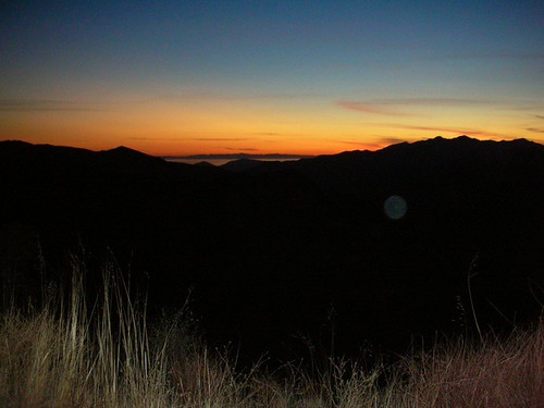
sunset towards the ocean by szueechen

eastern sky @ sunset by 1600 Squirrels
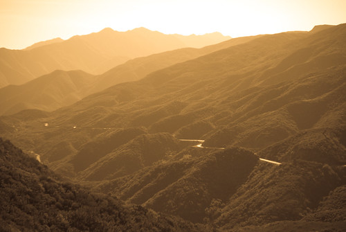
IMGP1223 by CBurrows

DSC00098 by donfmorrison