Oatman-Topock Hwy, Topock, AZ 美國的日出日落時間表
Location: 美國 > 亞利桑那州 > 莫哈維縣 > AZ 美國 >
時區:
America/Phoenix
當地時間:
2025-06-25 07:44:05
經度:
-114.484946
緯度:
34.746569
今天日出時間:
05:26:21 AM
今天日落時間:
07:55:12 PM
今天日照時長:
14h 28m 51s
明天日出時間:
05:26:41 AM
明天日落時間:
07:55:17 PM
明天日照時長:
14h 28m 36s
顯示所有日期
| 日期 | 日出 | 日落 | 日照時長 |
|---|---|---|---|
| 2025年01月01日 | 07:45:25 AM | 05:38:51 PM | 9h 53m 26s |
| 2025年01月02日 | 07:45:33 AM | 05:39:39 PM | 9h 54m 6s |
| 2025年01月03日 | 07:45:39 AM | 05:40:27 PM | 9h 54m 48s |
| 2025年01月04日 | 07:45:42 AM | 05:41:17 PM | 9h 55m 35s |
| 2025年01月05日 | 07:45:44 AM | 05:42:07 PM | 9h 56m 23s |
| 2025年01月06日 | 07:45:45 AM | 05:42:59 PM | 9h 57m 14s |
| 2025年01月07日 | 07:45:43 AM | 05:43:51 PM | 9h 58m 8s |
| 2025年01月08日 | 07:45:39 AM | 05:44:44 PM | 9h 59m 5s |
| 2025年01月09日 | 07:45:34 AM | 05:45:38 PM | 10h 0m 4s |
| 2025年01月10日 | 07:45:26 AM | 05:46:33 PM | 10h 1m 7s |
| 2025年01月11日 | 07:45:17 AM | 05:47:28 PM | 10h 2m 11s |
| 2025年01月12日 | 07:45:05 AM | 05:48:25 PM | 10h 3m 20s |
| 2025年01月13日 | 07:44:52 AM | 05:49:21 PM | 10h 4m 29s |
| 2025年01月14日 | 07:44:37 AM | 05:50:18 PM | 10h 5m 41s |
| 2025年01月15日 | 07:44:20 AM | 05:51:16 PM | 10h 6m 56s |
| 2025年01月16日 | 07:44:01 AM | 05:52:14 PM | 10h 8m 13s |
| 2025年01月17日 | 07:43:41 AM | 05:53:13 PM | 10h 9m 32s |
| 2025年01月18日 | 07:43:18 AM | 05:54:12 PM | 10h 10m 54s |
| 2025年01月19日 | 07:42:54 AM | 05:55:11 PM | 10h 12m 17s |
| 2025年01月20日 | 07:42:28 AM | 05:56:11 PM | 10h 13m 43s |
| 2025年01月21日 | 07:42:00 AM | 05:57:11 PM | 10h 15m 11s |
| 2025年01月22日 | 07:41:31 AM | 05:58:11 PM | 10h 16m 40s |
| 2025年01月23日 | 07:40:59 AM | 05:59:11 PM | 10h 18m 12s |
| 2025年01月24日 | 07:40:26 AM | 06:00:12 PM | 10h 19m 46s |
| 2025年01月25日 | 07:39:51 AM | 06:01:12 PM | 10h 21m 21s |
| 2025年01月26日 | 07:39:15 AM | 06:02:13 PM | 10h 22m 58s |
| 2025年01月27日 | 07:38:37 AM | 06:03:14 PM | 10h 24m 37s |
| 2025年01月28日 | 07:37:57 AM | 06:04:14 PM | 10h 26m 17s |
| 2025年01月29日 | 07:37:15 AM | 06:05:15 PM | 10h 28m 0s |
| 2025年01月30日 | 07:36:32 AM | 06:06:16 PM | 10h 29m 44s |
| 2025年01月31日 | 07:35:48 AM | 06:07:16 PM | 10h 31m 28s |
| 2025年02月01日 | 07:35:02 AM | 06:08:17 PM | 10h 33m 15s |
| 2025年02月02日 | 07:34:14 AM | 06:09:17 PM | 10h 35m 3s |
| 2025年02月03日 | 07:33:25 AM | 06:10:17 PM | 10h 36m 52s |
| 2025年02月04日 | 07:32:35 AM | 06:11:17 PM | 10h 38m 42s |
| 2025年02月05日 | 07:31:43 AM | 06:12:17 PM | 10h 40m 34s |
| 2025年02月06日 | 07:30:49 AM | 06:13:16 PM | 10h 42m 27s |
| 2025年02月07日 | 07:29:55 AM | 06:14:16 PM | 10h 44m 21s |
| 2025年02月08日 | 07:28:59 AM | 06:15:15 PM | 10h 46m 16s |
| 2025年02月09日 | 07:28:02 AM | 06:16:14 PM | 10h 48m 12s |
| 2025年02月10日 | 07:27:03 AM | 06:17:12 PM | 10h 50m 9s |
| 2025年02月11日 | 07:26:03 AM | 06:18:11 PM | 10h 52m 8s |
| 2025年02月12日 | 07:25:02 AM | 06:19:09 PM | 10h 54m 7s |
| 2025年02月13日 | 07:24:00 AM | 06:20:06 PM | 10h 56m 6s |
| 2025年02月14日 | 07:22:57 AM | 06:21:04 PM | 10h 58m 7s |
| 2025年02月15日 | 07:21:52 AM | 06:22:01 PM | 11h 0m 9s |
| 2025年02月16日 | 07:20:47 AM | 06:22:58 PM | 11h 2m 11s |
| 2025年02月17日 | 07:19:40 AM | 06:23:54 PM | 11h 4m 14s |
| 2025年02月18日 | 07:18:33 AM | 06:24:50 PM | 11h 6m 17s |
| 2025年02月19日 | 07:17:24 AM | 06:25:46 PM | 11h 8m 22s |
| 2025年02月20日 | 07:16:15 AM | 06:26:41 PM | 11h 10m 26s |
| 2025年02月21日 | 07:15:04 AM | 06:27:36 PM | 11h 12m 32s |
| 2025年02月22日 | 07:13:53 AM | 06:28:31 PM | 11h 14m 38s |
| 2025年02月23日 | 07:12:41 AM | 06:29:25 PM | 11h 16m 44s |
| 2025年02月24日 | 07:11:28 AM | 06:30:19 PM | 11h 18m 51s |
| 2025年02月25日 | 07:10:14 AM | 06:31:13 PM | 11h 20m 59s |
| 2025年02月26日 | 07:09:00 AM | 06:32:06 PM | 11h 23m 6s |
| 2025年02月27日 | 07:07:44 AM | 06:32:59 PM | 11h 25m 15s |
| 2025年02月28日 | 07:06:28 AM | 06:33:52 PM | 11h 27m 24s |
| 2025年03月01日 | 07:05:12 AM | 06:34:44 PM | 11h 29m 32s |
| 2025年03月02日 | 07:03:54 AM | 06:35:37 PM | 11h 31m 43s |
| 2025年03月03日 | 07:02:36 AM | 06:36:28 PM | 11h 33m 52s |
| 2025年03月04日 | 07:01:18 AM | 06:37:20 PM | 11h 36m 2s |
| 2025年03月05日 | 06:59:59 AM | 06:38:11 PM | 11h 38m 12s |
| 2025年03月06日 | 06:58:39 AM | 06:39:02 PM | 11h 40m 23s |
| 2025年03月07日 | 06:57:19 AM | 06:39:52 PM | 11h 42m 33s |
| 2025年03月08日 | 06:55:59 AM | 06:40:43 PM | 11h 44m 44s |
| 2025年03月09日 | 06:54:38 AM | 06:41:33 PM | 11h 46m 55s |
| 2025年03月10日 | 06:53:17 AM | 06:42:23 PM | 11h 49m 6s |
| 2025年03月11日 | 06:51:55 AM | 06:43:12 PM | 11h 51m 17s |
| 2025年03月12日 | 06:50:33 AM | 06:44:02 PM | 11h 53m 29s |
| 2025年03月13日 | 06:49:11 AM | 06:44:51 PM | 11h 55m 40s |
| 2025年03月14日 | 06:47:48 AM | 06:45:40 PM | 11h 57m 52s |
| 2025年03月15日 | 06:46:25 AM | 06:46:29 PM | 12h 0m 4s |
| 2025年03月16日 | 06:45:02 AM | 06:47:17 PM | 12h 2m 15s |
| 2025年03月17日 | 06:43:39 AM | 06:48:05 PM | 12h 4m 26s |
| 2025年03月18日 | 06:42:16 AM | 06:48:54 PM | 12h 6m 38s |
| 2025年03月19日 | 06:40:52 AM | 06:49:42 PM | 12h 8m 50s |
| 2025年03月20日 | 06:39:29 AM | 06:50:30 PM | 12h 11m 1s |
| 2025年03月21日 | 06:38:05 AM | 06:51:18 PM | 12h 13m 13s |
| 2025年03月22日 | 06:36:41 AM | 06:52:05 PM | 12h 15m 24s |
| 2025年03月23日 | 06:35:18 AM | 06:52:53 PM | 12h 17m 35s |
| 2025年03月24日 | 06:33:54 AM | 06:53:40 PM | 12h 19m 46s |
| 2025年03月25日 | 06:32:30 AM | 06:54:28 PM | 12h 21m 58s |
| 2025年03月26日 | 06:31:07 AM | 06:55:15 PM | 12h 24m 8s |
| 2025年03月27日 | 06:29:43 AM | 06:56:02 PM | 12h 26m 19s |
| 2025年03月28日 | 06:28:20 AM | 06:56:50 PM | 12h 28m 30s |
| 2025年03月29日 | 06:26:57 AM | 06:57:37 PM | 12h 30m 40s |
| 2025年03月30日 | 06:25:34 AM | 06:58:24 PM | 12h 32m 50s |
| 2025年03月31日 | 06:24:11 AM | 06:59:11 PM | 12h 35m 0s |
| 2025年04月01日 | 06:22:49 AM | 06:59:58 PM | 12h 37m 9s |
| 2025年04月02日 | 06:21:27 AM | 07:00:45 PM | 12h 39m 18s |
| 2025年04月03日 | 06:20:05 AM | 07:01:32 PM | 12h 41m 27s |
| 2025年04月04日 | 06:18:43 AM | 07:02:19 PM | 12h 43m 36s |
| 2025年04月05日 | 06:17:22 AM | 07:03:07 PM | 12h 45m 45s |
| 2025年04月06日 | 06:16:01 AM | 07:03:54 PM | 12h 47m 53s |
| 2025年04月07日 | 06:14:41 AM | 07:04:41 PM | 12h 50m 0s |
| 2025年04月08日 | 06:13:21 AM | 07:05:28 PM | 12h 52m 7s |
| 2025年04月09日 | 06:12:02 AM | 07:06:16 PM | 12h 54m 14s |
| 2025年04月10日 | 06:10:43 AM | 07:07:03 PM | 12h 56m 20s |
| 2025年04月11日 | 06:09:24 AM | 07:07:50 PM | 12h 58m 26s |
| 2025年04月12日 | 06:08:07 AM | 07:08:38 PM | 13h 0m 31s |
| 2025年04月13日 | 06:06:49 AM | 07:09:25 PM | 13h 2m 36s |
| 2025年04月14日 | 06:05:33 AM | 07:10:13 PM | 13h 4m 40s |
| 2025年04月15日 | 06:04:17 AM | 07:11:01 PM | 13h 6m 44s |
| 2025年04月16日 | 06:03:02 AM | 07:11:48 PM | 13h 8m 46s |
| 2025年04月17日 | 06:01:47 AM | 07:12:36 PM | 13h 10m 49s |
| 2025年04月18日 | 06:00:34 AM | 07:13:24 PM | 13h 12m 50s |
| 2025年04月19日 | 05:59:21 AM | 07:14:12 PM | 13h 14m 51s |
| 2025年04月20日 | 05:58:09 AM | 07:15:00 PM | 13h 16m 51s |
| 2025年04月21日 | 05:56:57 AM | 07:15:48 PM | 13h 18m 51s |
| 2025年04月22日 | 05:55:47 AM | 07:16:36 PM | 13h 20m 49s |
| 2025年04月23日 | 05:54:37 AM | 07:17:24 PM | 13h 22m 47s |
| 2025年04月24日 | 05:53:28 AM | 07:18:12 PM | 13h 24m 44s |
| 2025年04月25日 | 05:52:21 AM | 07:19:01 PM | 13h 26m 40s |
| 2025年04月26日 | 05:51:14 AM | 07:19:49 PM | 13h 28m 35s |
| 2025年04月27日 | 05:50:08 AM | 07:20:37 PM | 13h 30m 29s |
| 2025年04月28日 | 05:49:03 AM | 07:21:26 PM | 13h 32m 23s |
| 2025年04月29日 | 05:48:00 AM | 07:22:14 PM | 13h 34m 14s |
| 2025年04月30日 | 05:46:57 AM | 07:23:02 PM | 13h 36m 5s |
| 2025年05月01日 | 05:45:56 AM | 07:23:51 PM | 13h 37m 55s |
| 2025年05月02日 | 05:44:55 AM | 07:24:39 PM | 13h 39m 44s |
| 2025年05月03日 | 05:43:56 AM | 07:25:27 PM | 13h 41m 31s |
| 2025年05月04日 | 05:42:58 AM | 07:26:15 PM | 13h 43m 17s |
| 2025年05月05日 | 05:42:01 AM | 07:27:03 PM | 13h 45m 2s |
| 2025年05月06日 | 05:41:05 AM | 07:27:51 PM | 13h 46m 46s |
| 2025年05月07日 | 05:40:11 AM | 07:28:39 PM | 13h 48m 28s |
| 2025年05月08日 | 05:39:18 AM | 07:29:27 PM | 13h 50m 9s |
| 2025年05月09日 | 05:38:26 AM | 07:30:14 PM | 13h 51m 48s |
| 2025年05月10日 | 05:37:36 AM | 07:31:01 PM | 13h 53m 25s |
| 2025年05月11日 | 05:36:47 AM | 07:31:49 PM | 13h 55m 2s |
| 2025年05月12日 | 05:35:59 AM | 07:32:35 PM | 13h 56m 36s |
| 2025年05月13日 | 05:35:13 AM | 07:33:22 PM | 13h 58m 9s |
| 2025年05月14日 | 05:34:28 AM | 07:34:08 PM | 13h 59m 40s |
| 2025年05月15日 | 05:33:44 AM | 07:34:54 PM | 14h 1m 10s |
| 2025年05月16日 | 05:33:02 AM | 07:35:40 PM | 14h 2m 38s |
| 2025年05月17日 | 05:32:22 AM | 07:36:26 PM | 14h 4m 4s |
| 2025年05月18日 | 05:31:43 AM | 07:37:10 PM | 14h 5m 27s |
| 2025年05月19日 | 05:31:05 AM | 07:37:55 PM | 14h 6m 50s |
| 2025年05月20日 | 05:30:29 AM | 07:38:39 PM | 14h 8m 10s |
| 2025年05月21日 | 05:29:55 AM | 07:39:23 PM | 14h 9m 28s |
| 2025年05月22日 | 05:29:22 AM | 07:40:06 PM | 14h 10m 44s |
| 2025年05月23日 | 05:28:51 AM | 07:40:48 PM | 14h 11m 57s |
| 2025年05月24日 | 05:28:21 AM | 07:41:30 PM | 14h 13m 9s |
| 2025年05月25日 | 05:27:53 AM | 07:42:11 PM | 14h 14m 18s |
| 2025年05月26日 | 05:27:26 AM | 07:42:52 PM | 14h 15m 26s |
| 2025年05月27日 | 05:27:01 AM | 07:43:32 PM | 14h 16m 31s |
| 2025年05月28日 | 05:26:38 AM | 07:44:11 PM | 14h 17m 33s |
| 2025年05月29日 | 05:26:16 AM | 07:44:50 PM | 14h 18m 34s |
| 2025年05月30日 | 05:25:56 AM | 07:45:27 PM | 14h 19m 31s |
| 2025年05月31日 | 05:25:38 AM | 07:46:04 PM | 14h 20m 26s |
| 2025年06月01日 | 05:25:21 AM | 07:46:40 PM | 14h 21m 19s |
| 2025年06月02日 | 05:25:06 AM | 07:47:15 PM | 14h 22m 9s |
| 2025年06月03日 | 05:24:52 AM | 07:47:49 PM | 14h 22m 57s |
| 2025年06月04日 | 05:24:41 AM | 07:48:23 PM | 14h 23m 42s |
| 2025年06月05日 | 05:24:30 AM | 07:48:55 PM | 14h 24m 25s |
| 2025年06月06日 | 05:24:22 AM | 07:49:26 PM | 14h 25m 4s |
| 2025年06月07日 | 05:24:15 AM | 07:49:56 PM | 14h 25m 41s |
| 2025年06月08日 | 05:24:09 AM | 07:50:25 PM | 14h 26m 16s |
| 2025年06月09日 | 05:24:06 AM | 07:50:52 PM | 14h 26m 46s |
| 2025年06月10日 | 05:24:04 AM | 07:51:19 PM | 14h 27m 15s |
| 2025年06月11日 | 05:24:03 AM | 07:51:44 PM | 14h 27m 41s |
| 2025年06月12日 | 05:24:04 AM | 07:52:08 PM | 14h 28m 4s |
| 2025年06月13日 | 05:24:07 AM | 07:52:31 PM | 14h 28m 24s |
| 2025年06月14日 | 05:24:11 AM | 07:52:53 PM | 14h 28m 42s |
| 2025年06月15日 | 05:24:17 AM | 07:53:13 PM | 14h 28m 56s |
| 2025年06月16日 | 05:24:24 AM | 07:53:32 PM | 14h 29m 8s |
| 2025年06月17日 | 05:24:32 AM | 07:53:49 PM | 14h 29m 17s |
| 2025年06月18日 | 05:24:43 AM | 07:54:05 PM | 14h 29m 22s |
| 2025年06月19日 | 05:24:54 AM | 07:54:20 PM | 14h 29m 26s |
| 2025年06月20日 | 05:25:07 AM | 07:54:33 PM | 14h 29m 26s |
| 2025年06月21日 | 05:25:22 AM | 07:54:44 PM | 14h 29m 22s |
| 2025年06月22日 | 05:25:38 AM | 07:54:54 PM | 14h 29m 16s |
| 2025年06月23日 | 05:25:55 AM | 07:55:03 PM | 14h 29m 8s |
| 2025年06月24日 | 05:26:14 AM | 07:55:10 PM | 14h 28m 56s |
| 2025年06月25日 | 05:26:33 AM | 07:55:15 PM | 14h 28m 42s |
| 2025年06月26日 | 05:26:55 AM | 07:55:19 PM | 14h 28m 24s |
| 2025年06月27日 | 05:27:17 AM | 07:55:21 PM | 14h 28m 4s |
| 2025年06月28日 | 05:27:40 AM | 07:55:22 PM | 14h 27m 42s |
| 2025年06月29日 | 05:28:05 AM | 07:55:20 PM | 14h 27m 15s |
| 2025年06月30日 | 05:28:31 AM | 07:55:18 PM | 14h 26m 47s |
| 2025年07月01日 | 05:28:58 AM | 07:55:13 PM | 14h 26m 15s |
| 2025年07月02日 | 05:29:26 AM | 07:55:07 PM | 14h 25m 41s |
| 2025年07月03日 | 05:29:55 AM | 07:55:00 PM | 14h 25m 5s |
| 2025年07月04日 | 05:30:25 AM | 07:54:50 PM | 14h 24m 25s |
| 2025年07月05日 | 05:30:56 AM | 07:54:39 PM | 14h 23m 43s |
| 2025年07月06日 | 05:31:29 AM | 07:54:26 PM | 14h 22m 57s |
| 2025年07月07日 | 05:32:01 AM | 07:54:12 PM | 14h 22m 11s |
| 2025年07月08日 | 05:32:35 AM | 07:53:56 PM | 14h 21m 21s |
| 2025年07月09日 | 05:33:10 AM | 07:53:38 PM | 14h 20m 28s |
| 2025年07月10日 | 05:33:45 AM | 07:53:18 PM | 14h 19m 33s |
| 2025年07月11日 | 05:34:21 AM | 07:52:57 PM | 14h 18m 36s |
| 2025年07月12日 | 05:34:58 AM | 07:52:34 PM | 14h 17m 36s |
| 2025年07月13日 | 05:35:36 AM | 07:52:10 PM | 14h 16m 34s |
| 2025年07月14日 | 05:36:14 AM | 07:51:44 PM | 14h 15m 30s |
| 2025年07月15日 | 05:36:53 AM | 07:51:16 PM | 14h 14m 23s |
| 2025年07月16日 | 05:37:33 AM | 07:50:47 PM | 14h 13m 14s |
| 2025年07月17日 | 05:38:13 AM | 07:50:16 PM | 14h 12m 3s |
| 2025年07月18日 | 05:38:53 AM | 07:49:43 PM | 14h 10m 50s |
| 2025年07月19日 | 05:39:34 AM | 07:49:09 PM | 14h 9m 35s |
| 2025年07月20日 | 05:40:15 AM | 07:48:33 PM | 14h 8m 18s |
| 2025年07月21日 | 05:40:57 AM | 07:47:55 PM | 14h 6m 58s |
| 2025年07月22日 | 05:41:40 AM | 07:47:17 PM | 14h 5m 37s |
| 2025年07月23日 | 05:42:22 AM | 07:46:36 PM | 14h 4m 14s |
| 2025年07月24日 | 05:43:05 AM | 07:45:54 PM | 14h 2m 49s |
| 2025年07月25日 | 05:43:48 AM | 07:45:11 PM | 14h 1m 23s |
| 2025年07月26日 | 05:44:32 AM | 07:44:26 PM | 13h 59m 54s |
| 2025年07月27日 | 05:45:16 AM | 07:43:39 PM | 13h 58m 23s |
| 2025年07月28日 | 05:46:00 AM | 07:42:51 PM | 13h 56m 51s |
| 2025年07月29日 | 05:46:44 AM | 07:42:02 PM | 13h 55m 18s |
| 2025年07月30日 | 05:47:28 AM | 07:41:12 PM | 13h 53m 44s |
| 2025年07月31日 | 05:48:13 AM | 07:40:20 PM | 13h 52m 7s |
| 2025年08月01日 | 05:48:57 AM | 07:39:26 PM | 13h 50m 29s |
| 2025年08月02日 | 05:49:42 AM | 07:38:32 PM | 13h 48m 50s |
| 2025年08月03日 | 05:50:27 AM | 07:37:36 PM | 13h 47m 9s |
| 2025年08月04日 | 05:51:12 AM | 07:36:38 PM | 13h 45m 26s |
| 2025年08月05日 | 05:51:57 AM | 07:35:40 PM | 13h 43m 43s |
| 2025年08月06日 | 05:52:42 AM | 07:34:40 PM | 13h 41m 58s |
| 2025年08月07日 | 05:53:27 AM | 07:33:39 PM | 13h 40m 12s |
| 2025年08月08日 | 05:54:12 AM | 07:32:37 PM | 13h 38m 25s |
| 2025年08月09日 | 05:54:57 AM | 07:31:34 PM | 13h 36m 37s |
| 2025年08月10日 | 05:55:42 AM | 07:30:30 PM | 13h 34m 48s |
| 2025年08月11日 | 05:56:27 AM | 07:29:24 PM | 13h 32m 57s |
| 2025年08月12日 | 05:57:12 AM | 07:28:18 PM | 13h 31m 6s |
| 2025年08月13日 | 05:57:57 AM | 07:27:10 PM | 13h 29m 13s |
| 2025年08月14日 | 05:58:41 AM | 07:26:02 PM | 13h 27m 21s |
| 2025年08月15日 | 05:59:26 AM | 07:24:52 PM | 13h 25m 26s |
| 2025年08月16日 | 06:00:11 AM | 07:23:42 PM | 13h 23m 31s |
| 2025年08月17日 | 06:00:55 AM | 07:22:30 PM | 13h 21m 35s |
| 2025年08月18日 | 06:01:40 AM | 07:21:18 PM | 13h 19m 38s |
| 2025年08月19日 | 06:02:24 AM | 07:20:05 PM | 13h 17m 41s |
| 2025年08月20日 | 06:03:08 AM | 07:18:51 PM | 13h 15m 43s |
| 2025年08月21日 | 06:03:53 AM | 07:17:36 PM | 13h 13m 43s |
| 2025年08月22日 | 06:04:37 AM | 07:16:21 PM | 13h 11m 44s |
| 2025年08月23日 | 06:05:21 AM | 07:15:04 PM | 13h 9m 43s |
| 2025年08月24日 | 06:06:05 AM | 07:13:47 PM | 13h 7m 42s |
| 2025年08月25日 | 06:06:48 AM | 07:12:29 PM | 13h 5m 41s |
| 2025年08月26日 | 06:07:32 AM | 07:11:11 PM | 13h 3m 39s |
| 2025年08月27日 | 06:08:16 AM | 07:09:52 PM | 13h 1m 36s |
| 2025年08月28日 | 06:08:59 AM | 07:08:32 PM | 12h 59m 33s |
| 2025年08月29日 | 06:09:42 AM | 07:07:12 PM | 12h 57m 30s |
| 2025年08月30日 | 06:10:26 AM | 07:05:51 PM | 12h 55m 25s |
| 2025年08月31日 | 06:11:09 AM | 07:04:30 PM | 12h 53m 21s |
| 2025年09月01日 | 06:11:52 AM | 07:03:08 PM | 12h 51m 16s |
| 2025年09月02日 | 06:12:35 AM | 07:01:46 PM | 12h 49m 11s |
| 2025年09月03日 | 06:13:18 AM | 07:00:23 PM | 12h 47m 5s |
| 2025年09月04日 | 06:14:01 AM | 06:59:00 PM | 12h 44m 59s |
| 2025年09月05日 | 06:14:44 AM | 06:57:36 PM | 12h 42m 52s |
| 2025年09月06日 | 06:15:27 AM | 06:56:12 PM | 12h 40m 45s |
| 2025年09月07日 | 06:16:10 AM | 06:54:48 PM | 12h 38m 38s |
| 2025年09月08日 | 06:16:53 AM | 06:53:23 PM | 12h 36m 30s |
| 2025年09月09日 | 06:17:36 AM | 06:51:58 PM | 12h 34m 22s |
| 2025年09月10日 | 06:18:19 AM | 06:50:33 PM | 12h 32m 14s |
| 2025年09月11日 | 06:19:02 AM | 06:49:08 PM | 12h 30m 6s |
| 2025年09月12日 | 06:19:44 AM | 06:47:42 PM | 12h 27m 58s |
| 2025年09月13日 | 06:20:27 AM | 06:46:17 PM | 12h 25m 50s |
| 2025年09月14日 | 06:21:10 AM | 06:44:51 PM | 12h 23m 41s |
| 2025年09月15日 | 06:21:53 AM | 06:43:25 PM | 12h 21m 32s |
| 2025年09月16日 | 06:22:36 AM | 06:41:59 PM | 12h 19m 23s |
| 2025年09月17日 | 06:23:20 AM | 06:40:33 PM | 12h 17m 13s |
| 2025年09月18日 | 06:24:03 AM | 06:39:07 PM | 12h 15m 4s |
| 2025年09月19日 | 06:24:46 AM | 06:37:41 PM | 12h 12m 55s |
| 2025年09月20日 | 06:25:30 AM | 06:36:15 PM | 12h 10m 45s |
| 2025年09月21日 | 06:26:13 AM | 06:34:49 PM | 12h 8m 36s |
| 2025年09月22日 | 06:26:57 AM | 06:33:23 PM | 12h 6m 26s |
| 2025年09月23日 | 06:27:41 AM | 06:31:57 PM | 12h 4m 16s |
| 2025年09月24日 | 06:28:25 AM | 06:30:32 PM | 12h 2m 7s |
| 2025年09月25日 | 06:29:09 AM | 06:29:06 PM | 11h 59m 57s |
| 2025年09月26日 | 06:29:53 AM | 06:27:41 PM | 11h 57m 48s |
| 2025年09月27日 | 06:30:38 AM | 06:26:16 PM | 11h 55m 38s |
| 2025年09月28日 | 06:31:23 AM | 06:24:52 PM | 11h 53m 29s |
| 2025年09月29日 | 06:32:08 AM | 06:23:27 PM | 11h 51m 19s |
| 2025年09月30日 | 06:32:53 AM | 06:22:03 PM | 11h 49m 10s |
| 2025年10月01日 | 06:33:39 AM | 06:20:40 PM | 11h 47m 1s |
| 2025年10月02日 | 06:34:24 AM | 06:19:16 PM | 11h 44m 52s |
| 2025年10月03日 | 06:35:10 AM | 06:17:54 PM | 11h 42m 44s |
| 2025年10月04日 | 06:35:57 AM | 06:16:31 PM | 11h 40m 34s |
| 2025年10月05日 | 06:36:43 AM | 06:15:09 PM | 11h 38m 26s |
| 2025年10月06日 | 06:37:30 AM | 06:13:48 PM | 11h 36m 18s |
| 2025年10月07日 | 06:38:17 AM | 06:12:27 PM | 11h 34m 10s |
| 2025年10月08日 | 06:39:05 AM | 06:11:07 PM | 11h 32m 2s |
| 2025年10月09日 | 06:39:53 AM | 06:09:47 PM | 11h 29m 54s |
| 2025年10月10日 | 06:40:41 AM | 06:08:28 PM | 11h 27m 47s |
| 2025年10月11日 | 06:41:29 AM | 06:07:09 PM | 11h 25m 40s |
| 2025年10月12日 | 06:42:18 AM | 06:05:52 PM | 11h 23m 34s |
| 2025年10月13日 | 06:43:07 AM | 06:04:35 PM | 11h 21m 28s |
| 2025年10月14日 | 06:43:57 AM | 06:03:18 PM | 11h 19m 21s |
| 2025年10月15日 | 06:44:46 AM | 06:02:03 PM | 11h 17m 17s |
| 2025年10月16日 | 06:45:37 AM | 06:00:48 PM | 11h 15m 11s |
| 2025年10月17日 | 06:46:27 AM | 05:59:34 PM | 11h 13m 7s |
| 2025年10月18日 | 06:47:18 AM | 05:58:21 PM | 11h 11m 3s |
| 2025年10月19日 | 06:48:10 AM | 05:57:09 PM | 11h 8m 59s |
| 2025年10月20日 | 06:49:01 AM | 05:55:58 PM | 11h 6m 57s |
| 2025年10月21日 | 06:49:53 AM | 05:54:48 PM | 11h 4m 55s |
| 2025年10月22日 | 06:50:46 AM | 05:53:39 PM | 11h 2m 53s |
| 2025年10月23日 | 06:51:39 AM | 05:52:31 PM | 11h 0m 52s |
| 2025年10月24日 | 06:52:32 AM | 05:51:24 PM | 10h 58m 52s |
| 2025年10月25日 | 06:53:25 AM | 05:50:18 PM | 10h 56m 53s |
| 2025年10月26日 | 06:54:19 AM | 05:49:13 PM | 10h 54m 54s |
| 2025年10月27日 | 06:55:13 AM | 05:48:10 PM | 10h 52m 57s |
| 2025年10月28日 | 06:56:08 AM | 05:47:07 PM | 10h 50m 59s |
| 2025年10月29日 | 06:57:03 AM | 05:46:06 PM | 10h 49m 3s |
| 2025年10月30日 | 06:57:58 AM | 05:45:06 PM | 10h 47m 8s |
| 2025年10月31日 | 06:58:53 AM | 05:44:07 PM | 10h 45m 14s |
| 2025年11月01日 | 06:59:49 AM | 05:43:10 PM | 10h 43m 21s |
| 2025年11月02日 | 07:00:45 AM | 05:42:14 PM | 10h 41m 29s |
| 2025年11月03日 | 07:01:42 AM | 05:41:19 PM | 10h 39m 37s |
| 2025年11月04日 | 07:02:38 AM | 05:40:26 PM | 10h 37m 48s |
| 2025年11月05日 | 07:03:35 AM | 05:39:34 PM | 10h 35m 59s |
| 2025年11月06日 | 07:04:32 AM | 05:38:44 PM | 10h 34m 12s |
| 2025年11月07日 | 07:05:29 AM | 05:37:55 PM | 10h 32m 26s |
| 2025年11月08日 | 07:06:27 AM | 05:37:07 PM | 10h 30m 40s |
| 2025年11月09日 | 07:07:24 AM | 05:36:21 PM | 10h 28m 57s |
| 2025年11月10日 | 07:08:22 AM | 05:35:37 PM | 10h 27m 15s |
| 2025年11月11日 | 07:09:19 AM | 05:34:55 PM | 10h 25m 36s |
| 2025年11月12日 | 07:10:17 AM | 05:34:14 PM | 10h 23m 57s |
| 2025年11月13日 | 07:11:15 AM | 05:33:34 PM | 10h 22m 19s |
| 2025年11月14日 | 07:12:13 AM | 05:32:57 PM | 10h 20m 44s |
| 2025年11月15日 | 07:13:11 AM | 05:32:21 PM | 10h 19m 10s |
| 2025年11月16日 | 07:14:09 AM | 05:31:46 PM | 10h 17m 37s |
| 2025年11月17日 | 07:15:06 AM | 05:31:14 PM | 10h 16m 8s |
| 2025年11月18日 | 07:16:04 AM | 05:30:43 PM | 10h 14m 39s |
| 2025年11月19日 | 07:17:01 AM | 05:30:14 PM | 10h 13m 13s |
| 2025年11月20日 | 07:17:59 AM | 05:29:47 PM | 10h 11m 48s |
| 2025年11月21日 | 07:18:56 AM | 05:29:22 PM | 10h 10m 26s |
| 2025年11月22日 | 07:19:52 AM | 05:28:58 PM | 10h 9m 6s |
| 2025年11月23日 | 07:20:49 AM | 05:28:37 PM | 10h 7m 48s |
| 2025年11月24日 | 07:21:45 AM | 05:28:17 PM | 10h 6m 32s |
| 2025年11月25日 | 07:22:40 AM | 05:27:59 PM | 10h 5m 19s |
| 2025年11月26日 | 07:23:36 AM | 05:27:43 PM | 10h 4m 7s |
| 2025年11月27日 | 07:24:30 AM | 05:27:29 PM | 10h 2m 59s |
| 2025年11月28日 | 07:25:25 AM | 05:27:17 PM | 10h 1m 52s |
| 2025年11月29日 | 07:26:18 AM | 05:27:07 PM | 10h 0m 49s |
| 2025年11月30日 | 07:27:11 AM | 05:26:59 PM | 9h 59m 48s |
| 2025年12月01日 | 07:28:03 AM | 05:26:53 PM | 9h 58m 50s |
| 2025年12月02日 | 07:28:55 AM | 05:26:48 PM | 9h 57m 53s |
| 2025年12月03日 | 07:29:46 AM | 05:26:46 PM | 9h 57m 0s |
| 2025年12月04日 | 07:30:36 AM | 05:26:46 PM | 9h 56m 10s |
| 2025年12月05日 | 07:31:25 AM | 05:26:47 PM | 9h 55m 22s |
| 2025年12月06日 | 07:32:13 AM | 05:26:51 PM | 9h 54m 38s |
| 2025年12月07日 | 07:33:00 AM | 05:26:56 PM | 9h 53m 56s |
| 2025年12月08日 | 07:33:46 AM | 05:27:03 PM | 9h 53m 17s |
| 2025年12月09日 | 07:34:32 AM | 05:27:13 PM | 9h 52m 41s |
| 2025年12月10日 | 07:35:16 AM | 05:27:24 PM | 9h 52m 8s |
| 2025年12月11日 | 07:35:59 AM | 05:27:37 PM | 9h 51m 38s |
| 2025年12月12日 | 07:36:40 AM | 05:27:52 PM | 9h 51m 12s |
| 2025年12月13日 | 07:37:21 AM | 05:28:08 PM | 9h 50m 47s |
| 2025年12月14日 | 07:38:00 AM | 05:28:27 PM | 9h 50m 27s |
| 2025年12月15日 | 07:38:38 AM | 05:28:47 PM | 9h 50m 9s |
| 2025年12月16日 | 07:39:14 AM | 05:29:09 PM | 9h 49m 55s |
| 2025年12月17日 | 07:39:49 AM | 05:29:33 PM | 9h 49m 44s |
| 2025年12月18日 | 07:40:23 AM | 05:29:59 PM | 9h 49m 36s |
| 2025年12月19日 | 07:40:55 AM | 05:30:26 PM | 9h 49m 31s |
| 2025年12月20日 | 07:41:26 AM | 05:30:55 PM | 9h 49m 29s |
| 2025年12月21日 | 07:41:55 AM | 05:31:26 PM | 9h 49m 31s |
| 2025年12月22日 | 07:42:22 AM | 05:31:58 PM | 9h 49m 36s |
| 2025年12月23日 | 07:42:48 AM | 05:32:32 PM | 9h 49m 44s |
| 2025年12月24日 | 07:43:12 AM | 05:33:07 PM | 9h 49m 55s |
| 2025年12月25日 | 07:43:35 AM | 05:33:44 PM | 9h 50m 9s |
| 2025年12月26日 | 07:43:56 AM | 05:34:22 PM | 9h 50m 26s |
| 2025年12月27日 | 07:44:15 AM | 05:35:02 PM | 9h 50m 47s |
| 2025年12月28日 | 07:44:32 AM | 05:35:43 PM | 9h 51m 11s |
| 2025年12月29日 | 07:44:47 AM | 05:36:25 PM | 9h 51m 38s |
| 2025年12月30日 | 07:45:01 AM | 05:37:09 PM | 9h 52m 8s |
| 2025年12月31日 | 07:45:13 AM | 05:37:54 PM | 9h 52m 41s |
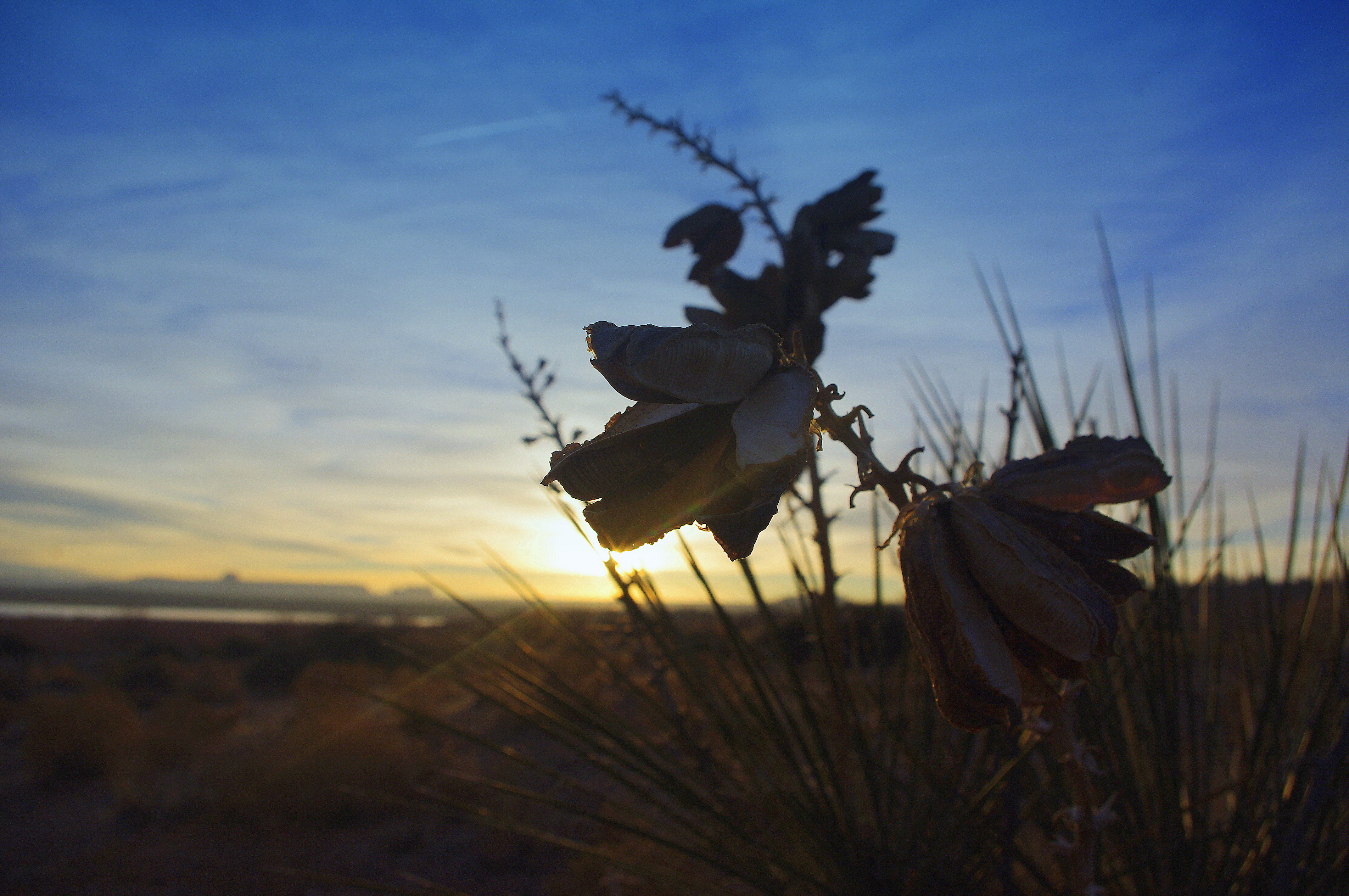
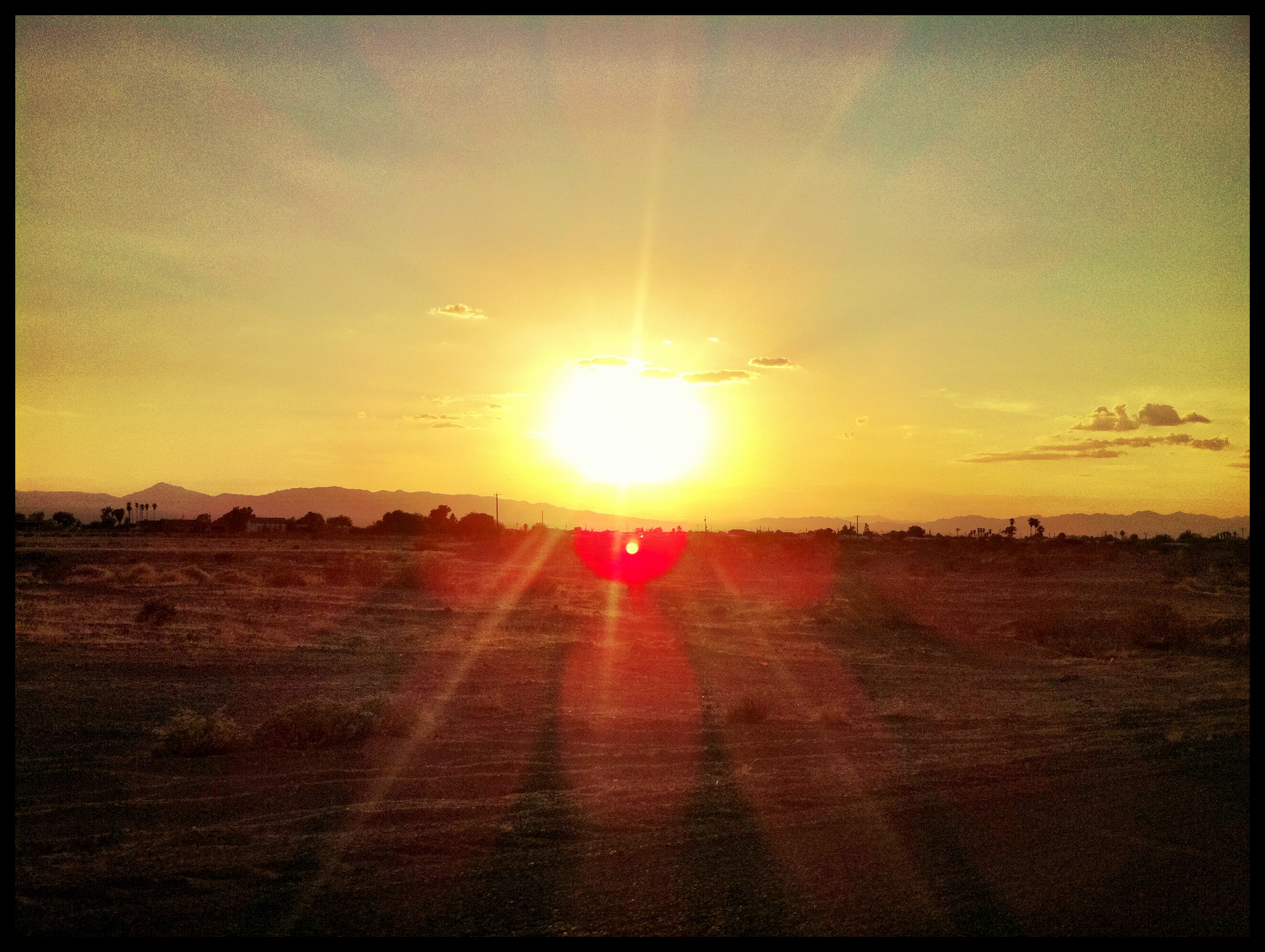
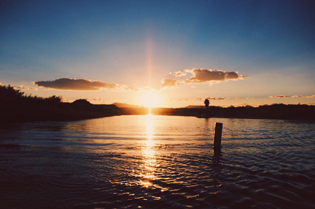
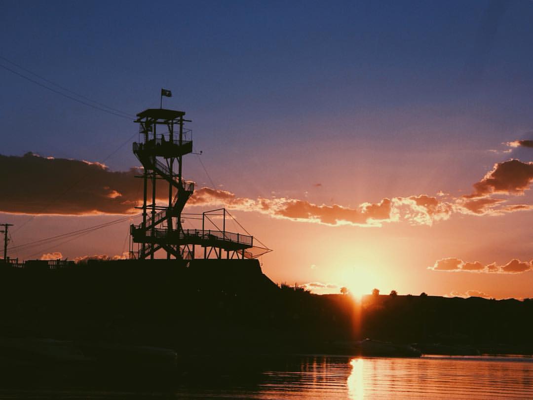
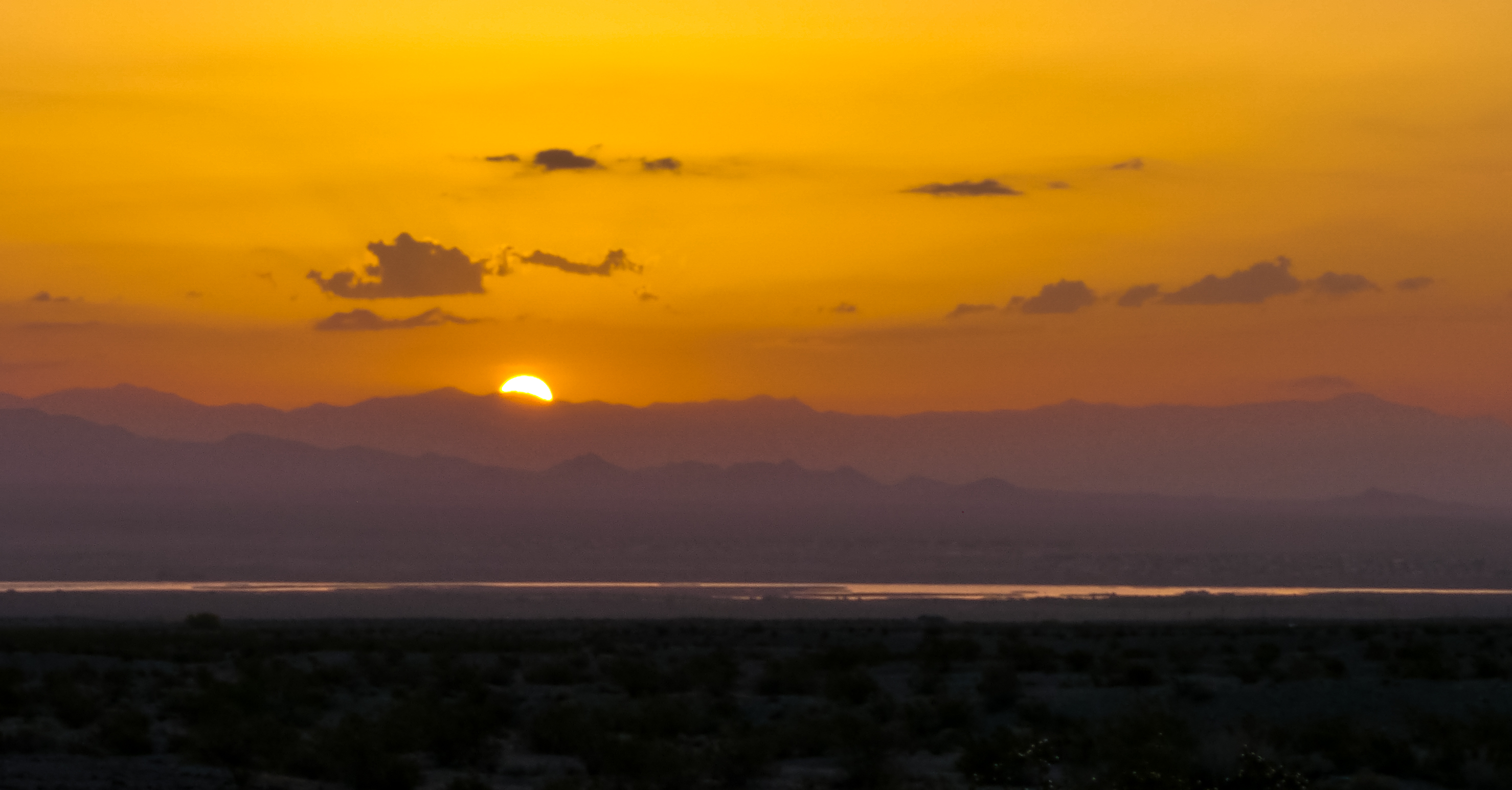
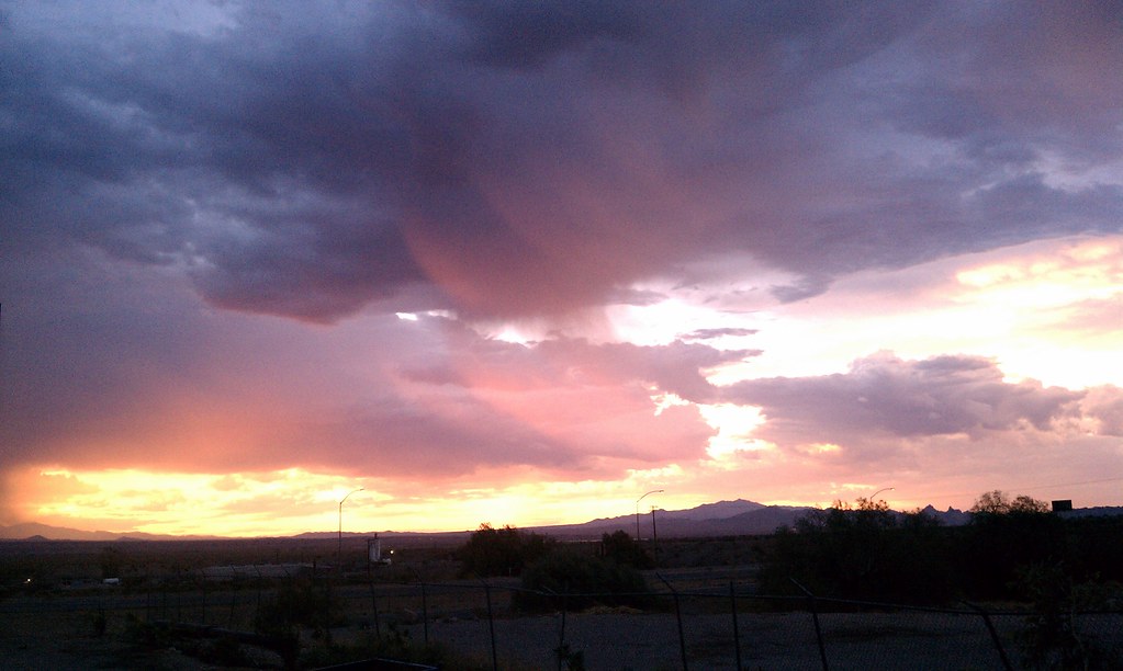
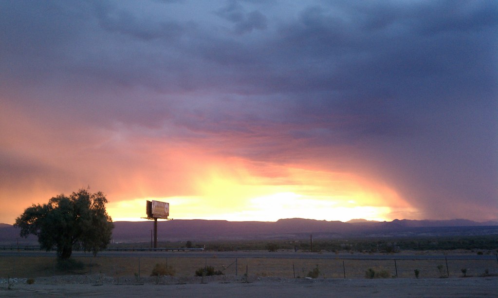
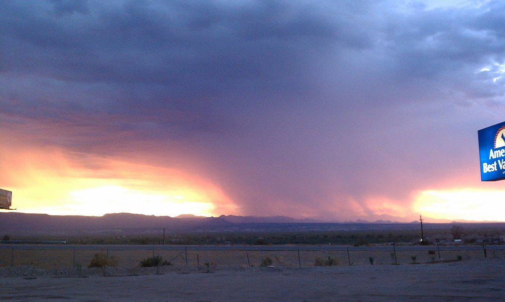
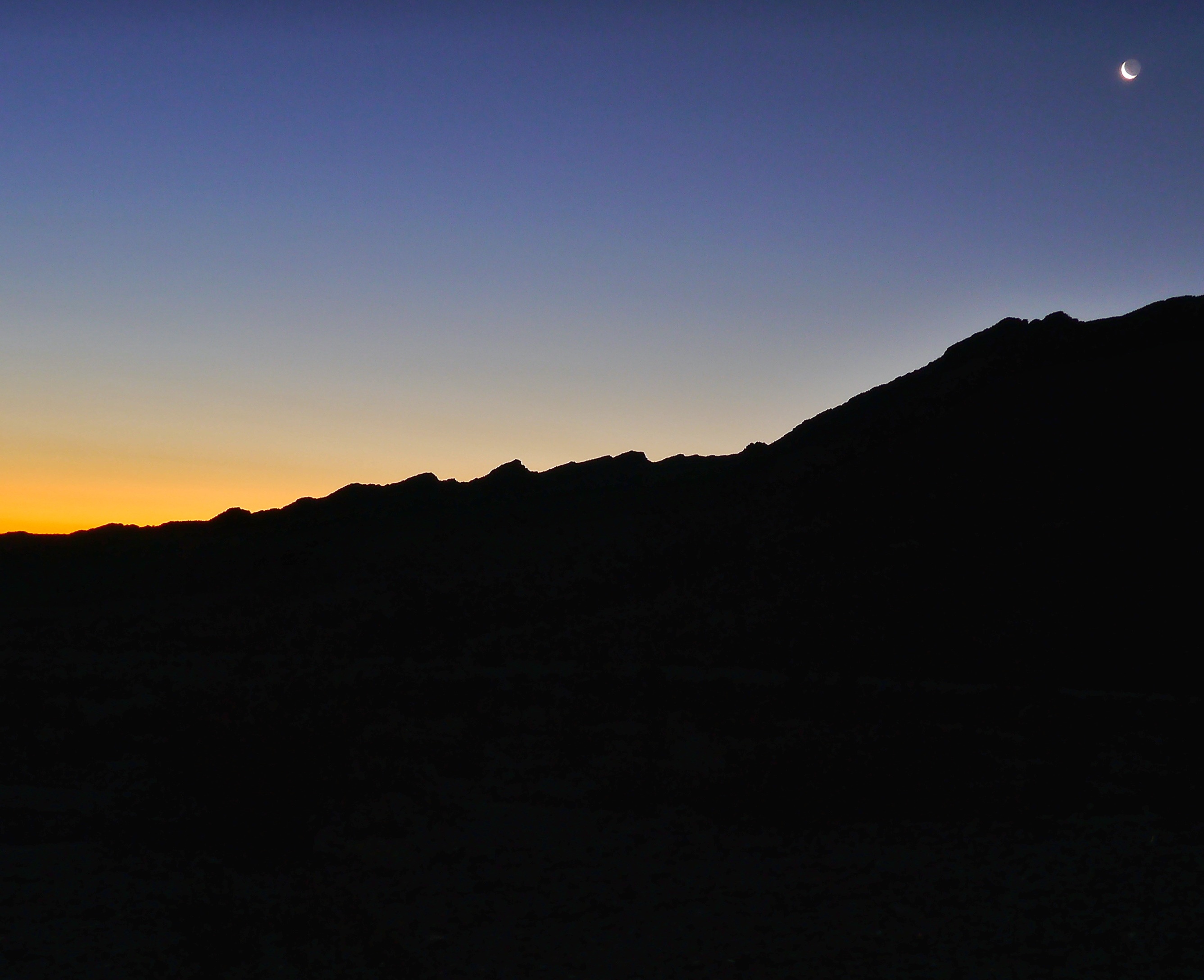
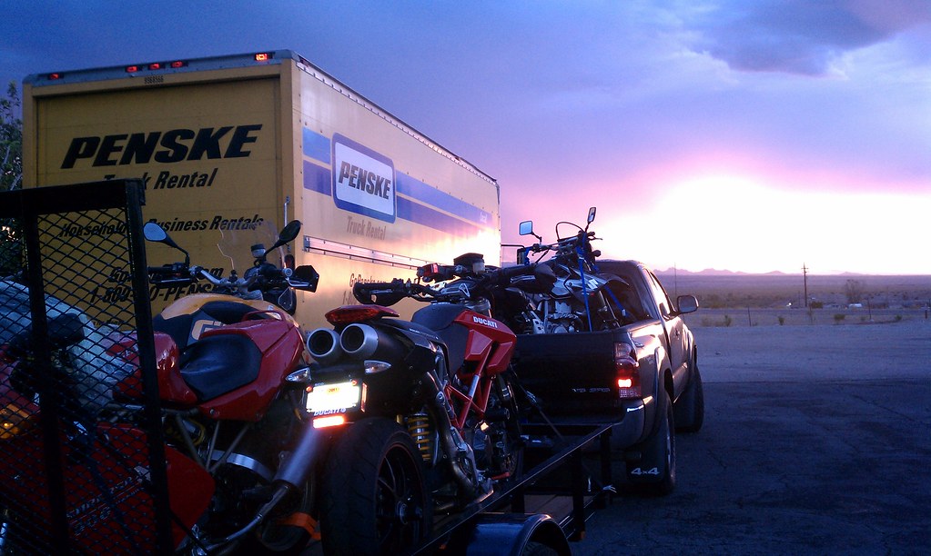
日出日落照片
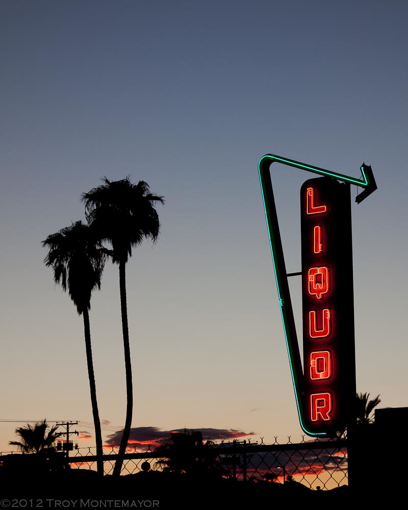
Neon Liquor Sign, Needles, CA

Colorado River Sunset

#sunrise @LovesTravel #arizona

#sunrise #arizona @LovesTravel
sunrise 2
Morning sunrise
Bridge Crossing at Sunset

怀念Route66 #route66

ROUTE66_2249 - NEEDLES CA
Lake Powell, Az
Route 66 - Victorville - Barstow - 40 - 66 - Topock - Oatman - Kingman
The Glory..#studio354
" A river seems a magic thing. A magic, moving, living part of the very earth itself." #vsco #vscocam #studio354

Docks, breeze, and sunrise

P1020177.jpg
P1020177.jpg

P1020177.jpg

#sunrise @LovesTravel #sky #morning #Arizona #truckstop
Beautiful Sunrise in Needles
Beautiful Sunrise in Needles

P1020177.jpg
Beautiful Sunrise in Needles
Mohave Valley Sunrise.
Headed into the sunrise

P1020177.jpg
Oatman-Topock Hwy, Topock, AZ 美國的地圖
搜索其他地方的日出日落時間
附近地點
Park Dr, Topock, AZ 美國Park Drive
Topock, AZ 美國
美國加利福尼亞尼德爾斯Red Rock Bridge
Powell Lake Rd, Topock, AZ 美國
Oatman Highway, Topock, AZ 美國
Pinal Pl, Topock, AZ 美國
Pima Pkwy, Topock, AZ 美國
The Needles, Arizona 美國
5 Mile Rd, Needles, CA 美國
Airport Rd, Needles, CA 美國Needles Airport-Eed
Hammond Cir, Mohave Valley, AZ 美國
Arizona Village, AZ 美國
Regents Rd, Mohave Valley, AZ 美國
Casa Linda St, Needles, CA 美國
Lillyhill Dr, Needles, CA 美國
Chestnut St, Needles, CA 美國
美國加利福尼亞州尼德爾斯
Palo Verde Dr, Mohave Valley, AZ 美國
Cottonwood Ln, Mohave Valley, AZ 美國
E Levee Dr, Mohave Valley, AZ 美國East Levee Drive
最近搜索
- Red Dog Mine, AK, USA的日出日落時間表
- Am bhf, Borken, 德國Am Bahnhof的日出日落時間表
- 4th St E, Sonoma, CA 美國的日出日落時間表
- Oakland Ave, Williamsport, PA 美國的日出日落時間表
- Via Roma, Pieranica CR, 義大利的日出日落時間表
- 克羅埃西亞杜布羅夫尼克 GradClock Tower of Dubrovnik的日出日落時間表
- 阿根廷丘布特省特雷利烏的日出日落時間表
- Hartfords Bluff Cir, Mt Pleasant, SC 美國的日出日落時間表
- 日本熊本縣熊本市北區的日出日落時間表
- 中國福州市平潭縣平潭島的日出日落時間表