Oatman-Topock Hwy, Topock, AZ アメリカ合衆国日の出日の入り時間
Location: アメリカ合衆国 > アリゾナ州 > モハーヴェ > アメリカ合衆国 〒 アリゾナ州 トポック >
時間帯:
America/Phoenix
現地時間:
2025-06-25 19:52:52
経度:
-114.484946
緯度:
34.746569
今日の日の出時刻:
05:26:41 AM
今日の日の入時刻:
07:55:17 PM
今日の日長:
14h 28m 36s
明日の日の出時刻:
05:27:03 AM
明日の日の入時刻:
07:55:20 PM
明日の日長:
14h 28m 17s
すべて表示する
| 日付 | 日出 | 日没 | 日長 |
|---|---|---|---|
| 2025年01月01日 | 07:45:25 AM | 05:38:51 PM | 9h 53m 26s |
| 2025年01月02日 | 07:45:33 AM | 05:39:39 PM | 9h 54m 6s |
| 2025年01月03日 | 07:45:39 AM | 05:40:27 PM | 9h 54m 48s |
| 2025年01月04日 | 07:45:42 AM | 05:41:17 PM | 9h 55m 35s |
| 2025年01月05日 | 07:45:44 AM | 05:42:07 PM | 9h 56m 23s |
| 2025年01月06日 | 07:45:45 AM | 05:42:59 PM | 9h 57m 14s |
| 2025年01月07日 | 07:45:43 AM | 05:43:51 PM | 9h 58m 8s |
| 2025年01月08日 | 07:45:39 AM | 05:44:44 PM | 9h 59m 5s |
| 2025年01月09日 | 07:45:34 AM | 05:45:38 PM | 10h 0m 4s |
| 2025年01月10日 | 07:45:26 AM | 05:46:33 PM | 10h 1m 7s |
| 2025年01月11日 | 07:45:17 AM | 05:47:28 PM | 10h 2m 11s |
| 2025年01月12日 | 07:45:05 AM | 05:48:25 PM | 10h 3m 20s |
| 2025年01月13日 | 07:44:52 AM | 05:49:21 PM | 10h 4m 29s |
| 2025年01月14日 | 07:44:37 AM | 05:50:18 PM | 10h 5m 41s |
| 2025年01月15日 | 07:44:20 AM | 05:51:16 PM | 10h 6m 56s |
| 2025年01月16日 | 07:44:01 AM | 05:52:14 PM | 10h 8m 13s |
| 2025年01月17日 | 07:43:41 AM | 05:53:13 PM | 10h 9m 32s |
| 2025年01月18日 | 07:43:18 AM | 05:54:12 PM | 10h 10m 54s |
| 2025年01月19日 | 07:42:54 AM | 05:55:11 PM | 10h 12m 17s |
| 2025年01月20日 | 07:42:28 AM | 05:56:11 PM | 10h 13m 43s |
| 2025年01月21日 | 07:42:00 AM | 05:57:11 PM | 10h 15m 11s |
| 2025年01月22日 | 07:41:31 AM | 05:58:11 PM | 10h 16m 40s |
| 2025年01月23日 | 07:40:59 AM | 05:59:11 PM | 10h 18m 12s |
| 2025年01月24日 | 07:40:26 AM | 06:00:12 PM | 10h 19m 46s |
| 2025年01月25日 | 07:39:51 AM | 06:01:12 PM | 10h 21m 21s |
| 2025年01月26日 | 07:39:15 AM | 06:02:13 PM | 10h 22m 58s |
| 2025年01月27日 | 07:38:37 AM | 06:03:14 PM | 10h 24m 37s |
| 2025年01月28日 | 07:37:57 AM | 06:04:14 PM | 10h 26m 17s |
| 2025年01月29日 | 07:37:15 AM | 06:05:15 PM | 10h 28m 0s |
| 2025年01月30日 | 07:36:32 AM | 06:06:16 PM | 10h 29m 44s |
| 2025年01月31日 | 07:35:48 AM | 06:07:16 PM | 10h 31m 28s |
| 2025年02月01日 | 07:35:02 AM | 06:08:17 PM | 10h 33m 15s |
| 2025年02月02日 | 07:34:14 AM | 06:09:17 PM | 10h 35m 3s |
| 2025年02月03日 | 07:33:25 AM | 06:10:17 PM | 10h 36m 52s |
| 2025年02月04日 | 07:32:35 AM | 06:11:17 PM | 10h 38m 42s |
| 2025年02月05日 | 07:31:43 AM | 06:12:17 PM | 10h 40m 34s |
| 2025年02月06日 | 07:30:49 AM | 06:13:16 PM | 10h 42m 27s |
| 2025年02月07日 | 07:29:55 AM | 06:14:16 PM | 10h 44m 21s |
| 2025年02月08日 | 07:28:59 AM | 06:15:15 PM | 10h 46m 16s |
| 2025年02月09日 | 07:28:02 AM | 06:16:14 PM | 10h 48m 12s |
| 2025年02月10日 | 07:27:03 AM | 06:17:12 PM | 10h 50m 9s |
| 2025年02月11日 | 07:26:03 AM | 06:18:11 PM | 10h 52m 8s |
| 2025年02月12日 | 07:25:02 AM | 06:19:09 PM | 10h 54m 7s |
| 2025年02月13日 | 07:24:00 AM | 06:20:06 PM | 10h 56m 6s |
| 2025年02月14日 | 07:22:57 AM | 06:21:04 PM | 10h 58m 7s |
| 2025年02月15日 | 07:21:52 AM | 06:22:01 PM | 11h 0m 9s |
| 2025年02月16日 | 07:20:47 AM | 06:22:58 PM | 11h 2m 11s |
| 2025年02月17日 | 07:19:40 AM | 06:23:54 PM | 11h 4m 14s |
| 2025年02月18日 | 07:18:33 AM | 06:24:50 PM | 11h 6m 17s |
| 2025年02月19日 | 07:17:24 AM | 06:25:46 PM | 11h 8m 22s |
| 2025年02月20日 | 07:16:15 AM | 06:26:41 PM | 11h 10m 26s |
| 2025年02月21日 | 07:15:04 AM | 06:27:36 PM | 11h 12m 32s |
| 2025年02月22日 | 07:13:53 AM | 06:28:31 PM | 11h 14m 38s |
| 2025年02月23日 | 07:12:41 AM | 06:29:25 PM | 11h 16m 44s |
| 2025年02月24日 | 07:11:28 AM | 06:30:19 PM | 11h 18m 51s |
| 2025年02月25日 | 07:10:14 AM | 06:31:13 PM | 11h 20m 59s |
| 2025年02月26日 | 07:09:00 AM | 06:32:06 PM | 11h 23m 6s |
| 2025年02月27日 | 07:07:44 AM | 06:32:59 PM | 11h 25m 15s |
| 2025年02月28日 | 07:06:28 AM | 06:33:52 PM | 11h 27m 24s |
| 2025年03月01日 | 07:05:12 AM | 06:34:44 PM | 11h 29m 32s |
| 2025年03月02日 | 07:03:54 AM | 06:35:37 PM | 11h 31m 43s |
| 2025年03月03日 | 07:02:36 AM | 06:36:28 PM | 11h 33m 52s |
| 2025年03月04日 | 07:01:18 AM | 06:37:20 PM | 11h 36m 2s |
| 2025年03月05日 | 06:59:59 AM | 06:38:11 PM | 11h 38m 12s |
| 2025年03月06日 | 06:58:39 AM | 06:39:02 PM | 11h 40m 23s |
| 2025年03月07日 | 06:57:19 AM | 06:39:52 PM | 11h 42m 33s |
| 2025年03月08日 | 06:55:59 AM | 06:40:43 PM | 11h 44m 44s |
| 2025年03月09日 | 06:54:38 AM | 06:41:33 PM | 11h 46m 55s |
| 2025年03月10日 | 06:53:17 AM | 06:42:23 PM | 11h 49m 6s |
| 2025年03月11日 | 06:51:55 AM | 06:43:12 PM | 11h 51m 17s |
| 2025年03月12日 | 06:50:33 AM | 06:44:02 PM | 11h 53m 29s |
| 2025年03月13日 | 06:49:11 AM | 06:44:51 PM | 11h 55m 40s |
| 2025年03月14日 | 06:47:48 AM | 06:45:40 PM | 11h 57m 52s |
| 2025年03月15日 | 06:46:25 AM | 06:46:29 PM | 12h 0m 4s |
| 2025年03月16日 | 06:45:02 AM | 06:47:17 PM | 12h 2m 15s |
| 2025年03月17日 | 06:43:39 AM | 06:48:05 PM | 12h 4m 26s |
| 2025年03月18日 | 06:42:16 AM | 06:48:54 PM | 12h 6m 38s |
| 2025年03月19日 | 06:40:52 AM | 06:49:42 PM | 12h 8m 50s |
| 2025年03月20日 | 06:39:29 AM | 06:50:30 PM | 12h 11m 1s |
| 2025年03月21日 | 06:38:05 AM | 06:51:18 PM | 12h 13m 13s |
| 2025年03月22日 | 06:36:41 AM | 06:52:05 PM | 12h 15m 24s |
| 2025年03月23日 | 06:35:18 AM | 06:52:53 PM | 12h 17m 35s |
| 2025年03月24日 | 06:33:54 AM | 06:53:40 PM | 12h 19m 46s |
| 2025年03月25日 | 06:32:30 AM | 06:54:28 PM | 12h 21m 58s |
| 2025年03月26日 | 06:31:07 AM | 06:55:15 PM | 12h 24m 8s |
| 2025年03月27日 | 06:29:43 AM | 06:56:02 PM | 12h 26m 19s |
| 2025年03月28日 | 06:28:20 AM | 06:56:50 PM | 12h 28m 30s |
| 2025年03月29日 | 06:26:57 AM | 06:57:37 PM | 12h 30m 40s |
| 2025年03月30日 | 06:25:34 AM | 06:58:24 PM | 12h 32m 50s |
| 2025年03月31日 | 06:24:11 AM | 06:59:11 PM | 12h 35m 0s |
| 2025年04月01日 | 06:22:49 AM | 06:59:58 PM | 12h 37m 9s |
| 2025年04月02日 | 06:21:27 AM | 07:00:45 PM | 12h 39m 18s |
| 2025年04月03日 | 06:20:05 AM | 07:01:32 PM | 12h 41m 27s |
| 2025年04月04日 | 06:18:43 AM | 07:02:19 PM | 12h 43m 36s |
| 2025年04月05日 | 06:17:22 AM | 07:03:07 PM | 12h 45m 45s |
| 2025年04月06日 | 06:16:01 AM | 07:03:54 PM | 12h 47m 53s |
| 2025年04月07日 | 06:14:41 AM | 07:04:41 PM | 12h 50m 0s |
| 2025年04月08日 | 06:13:21 AM | 07:05:28 PM | 12h 52m 7s |
| 2025年04月09日 | 06:12:02 AM | 07:06:16 PM | 12h 54m 14s |
| 2025年04月10日 | 06:10:43 AM | 07:07:03 PM | 12h 56m 20s |
| 2025年04月11日 | 06:09:24 AM | 07:07:50 PM | 12h 58m 26s |
| 2025年04月12日 | 06:08:07 AM | 07:08:38 PM | 13h 0m 31s |
| 2025年04月13日 | 06:06:49 AM | 07:09:25 PM | 13h 2m 36s |
| 2025年04月14日 | 06:05:33 AM | 07:10:13 PM | 13h 4m 40s |
| 2025年04月15日 | 06:04:17 AM | 07:11:01 PM | 13h 6m 44s |
| 2025年04月16日 | 06:03:02 AM | 07:11:48 PM | 13h 8m 46s |
| 2025年04月17日 | 06:01:47 AM | 07:12:36 PM | 13h 10m 49s |
| 2025年04月18日 | 06:00:34 AM | 07:13:24 PM | 13h 12m 50s |
| 2025年04月19日 | 05:59:21 AM | 07:14:12 PM | 13h 14m 51s |
| 2025年04月20日 | 05:58:09 AM | 07:15:00 PM | 13h 16m 51s |
| 2025年04月21日 | 05:56:57 AM | 07:15:48 PM | 13h 18m 51s |
| 2025年04月22日 | 05:55:47 AM | 07:16:36 PM | 13h 20m 49s |
| 2025年04月23日 | 05:54:37 AM | 07:17:24 PM | 13h 22m 47s |
| 2025年04月24日 | 05:53:28 AM | 07:18:12 PM | 13h 24m 44s |
| 2025年04月25日 | 05:52:21 AM | 07:19:01 PM | 13h 26m 40s |
| 2025年04月26日 | 05:51:14 AM | 07:19:49 PM | 13h 28m 35s |
| 2025年04月27日 | 05:50:08 AM | 07:20:37 PM | 13h 30m 29s |
| 2025年04月28日 | 05:49:03 AM | 07:21:26 PM | 13h 32m 23s |
| 2025年04月29日 | 05:48:00 AM | 07:22:14 PM | 13h 34m 14s |
| 2025年04月30日 | 05:46:57 AM | 07:23:02 PM | 13h 36m 5s |
| 2025年05月01日 | 05:45:56 AM | 07:23:51 PM | 13h 37m 55s |
| 2025年05月02日 | 05:44:55 AM | 07:24:39 PM | 13h 39m 44s |
| 2025年05月03日 | 05:43:56 AM | 07:25:27 PM | 13h 41m 31s |
| 2025年05月04日 | 05:42:58 AM | 07:26:15 PM | 13h 43m 17s |
| 2025年05月05日 | 05:42:01 AM | 07:27:03 PM | 13h 45m 2s |
| 2025年05月06日 | 05:41:05 AM | 07:27:51 PM | 13h 46m 46s |
| 2025年05月07日 | 05:40:11 AM | 07:28:39 PM | 13h 48m 28s |
| 2025年05月08日 | 05:39:18 AM | 07:29:27 PM | 13h 50m 9s |
| 2025年05月09日 | 05:38:26 AM | 07:30:14 PM | 13h 51m 48s |
| 2025年05月10日 | 05:37:36 AM | 07:31:01 PM | 13h 53m 25s |
| 2025年05月11日 | 05:36:47 AM | 07:31:49 PM | 13h 55m 2s |
| 2025年05月12日 | 05:35:59 AM | 07:32:35 PM | 13h 56m 36s |
| 2025年05月13日 | 05:35:13 AM | 07:33:22 PM | 13h 58m 9s |
| 2025年05月14日 | 05:34:28 AM | 07:34:08 PM | 13h 59m 40s |
| 2025年05月15日 | 05:33:44 AM | 07:34:54 PM | 14h 1m 10s |
| 2025年05月16日 | 05:33:02 AM | 07:35:40 PM | 14h 2m 38s |
| 2025年05月17日 | 05:32:22 AM | 07:36:26 PM | 14h 4m 4s |
| 2025年05月18日 | 05:31:43 AM | 07:37:10 PM | 14h 5m 27s |
| 2025年05月19日 | 05:31:05 AM | 07:37:55 PM | 14h 6m 50s |
| 2025年05月20日 | 05:30:29 AM | 07:38:39 PM | 14h 8m 10s |
| 2025年05月21日 | 05:29:55 AM | 07:39:23 PM | 14h 9m 28s |
| 2025年05月22日 | 05:29:22 AM | 07:40:06 PM | 14h 10m 44s |
| 2025年05月23日 | 05:28:51 AM | 07:40:48 PM | 14h 11m 57s |
| 2025年05月24日 | 05:28:21 AM | 07:41:30 PM | 14h 13m 9s |
| 2025年05月25日 | 05:27:53 AM | 07:42:11 PM | 14h 14m 18s |
| 2025年05月26日 | 05:27:26 AM | 07:42:52 PM | 14h 15m 26s |
| 2025年05月27日 | 05:27:01 AM | 07:43:32 PM | 14h 16m 31s |
| 2025年05月28日 | 05:26:38 AM | 07:44:11 PM | 14h 17m 33s |
| 2025年05月29日 | 05:26:16 AM | 07:44:50 PM | 14h 18m 34s |
| 2025年05月30日 | 05:25:56 AM | 07:45:27 PM | 14h 19m 31s |
| 2025年05月31日 | 05:25:38 AM | 07:46:04 PM | 14h 20m 26s |
| 2025年06月01日 | 05:25:21 AM | 07:46:40 PM | 14h 21m 19s |
| 2025年06月02日 | 05:25:06 AM | 07:47:15 PM | 14h 22m 9s |
| 2025年06月03日 | 05:24:52 AM | 07:47:49 PM | 14h 22m 57s |
| 2025年06月04日 | 05:24:41 AM | 07:48:23 PM | 14h 23m 42s |
| 2025年06月05日 | 05:24:30 AM | 07:48:55 PM | 14h 24m 25s |
| 2025年06月06日 | 05:24:22 AM | 07:49:26 PM | 14h 25m 4s |
| 2025年06月07日 | 05:24:15 AM | 07:49:56 PM | 14h 25m 41s |
| 2025年06月08日 | 05:24:09 AM | 07:50:25 PM | 14h 26m 16s |
| 2025年06月09日 | 05:24:06 AM | 07:50:52 PM | 14h 26m 46s |
| 2025年06月10日 | 05:24:04 AM | 07:51:19 PM | 14h 27m 15s |
| 2025年06月11日 | 05:24:03 AM | 07:51:44 PM | 14h 27m 41s |
| 2025年06月12日 | 05:24:04 AM | 07:52:08 PM | 14h 28m 4s |
| 2025年06月13日 | 05:24:07 AM | 07:52:31 PM | 14h 28m 24s |
| 2025年06月14日 | 05:24:11 AM | 07:52:53 PM | 14h 28m 42s |
| 2025年06月15日 | 05:24:17 AM | 07:53:13 PM | 14h 28m 56s |
| 2025年06月16日 | 05:24:24 AM | 07:53:32 PM | 14h 29m 8s |
| 2025年06月17日 | 05:24:32 AM | 07:53:49 PM | 14h 29m 17s |
| 2025年06月18日 | 05:24:43 AM | 07:54:05 PM | 14h 29m 22s |
| 2025年06月19日 | 05:24:54 AM | 07:54:20 PM | 14h 29m 26s |
| 2025年06月20日 | 05:25:07 AM | 07:54:33 PM | 14h 29m 26s |
| 2025年06月21日 | 05:25:22 AM | 07:54:44 PM | 14h 29m 22s |
| 2025年06月22日 | 05:25:38 AM | 07:54:54 PM | 14h 29m 16s |
| 2025年06月23日 | 05:25:55 AM | 07:55:03 PM | 14h 29m 8s |
| 2025年06月24日 | 05:26:14 AM | 07:55:10 PM | 14h 28m 56s |
| 2025年06月25日 | 05:26:33 AM | 07:55:15 PM | 14h 28m 42s |
| 2025年06月26日 | 05:26:55 AM | 07:55:19 PM | 14h 28m 24s |
| 2025年06月27日 | 05:27:17 AM | 07:55:21 PM | 14h 28m 4s |
| 2025年06月28日 | 05:27:40 AM | 07:55:22 PM | 14h 27m 42s |
| 2025年06月29日 | 05:28:05 AM | 07:55:20 PM | 14h 27m 15s |
| 2025年06月30日 | 05:28:31 AM | 07:55:18 PM | 14h 26m 47s |
| 2025年07月01日 | 05:28:58 AM | 07:55:13 PM | 14h 26m 15s |
| 2025年07月02日 | 05:29:26 AM | 07:55:07 PM | 14h 25m 41s |
| 2025年07月03日 | 05:29:55 AM | 07:55:00 PM | 14h 25m 5s |
| 2025年07月04日 | 05:30:25 AM | 07:54:50 PM | 14h 24m 25s |
| 2025年07月05日 | 05:30:56 AM | 07:54:39 PM | 14h 23m 43s |
| 2025年07月06日 | 05:31:29 AM | 07:54:26 PM | 14h 22m 57s |
| 2025年07月07日 | 05:32:01 AM | 07:54:12 PM | 14h 22m 11s |
| 2025年07月08日 | 05:32:35 AM | 07:53:56 PM | 14h 21m 21s |
| 2025年07月09日 | 05:33:10 AM | 07:53:38 PM | 14h 20m 28s |
| 2025年07月10日 | 05:33:45 AM | 07:53:18 PM | 14h 19m 33s |
| 2025年07月11日 | 05:34:21 AM | 07:52:57 PM | 14h 18m 36s |
| 2025年07月12日 | 05:34:58 AM | 07:52:34 PM | 14h 17m 36s |
| 2025年07月13日 | 05:35:36 AM | 07:52:10 PM | 14h 16m 34s |
| 2025年07月14日 | 05:36:14 AM | 07:51:44 PM | 14h 15m 30s |
| 2025年07月15日 | 05:36:53 AM | 07:51:16 PM | 14h 14m 23s |
| 2025年07月16日 | 05:37:33 AM | 07:50:47 PM | 14h 13m 14s |
| 2025年07月17日 | 05:38:13 AM | 07:50:16 PM | 14h 12m 3s |
| 2025年07月18日 | 05:38:53 AM | 07:49:43 PM | 14h 10m 50s |
| 2025年07月19日 | 05:39:34 AM | 07:49:09 PM | 14h 9m 35s |
| 2025年07月20日 | 05:40:15 AM | 07:48:33 PM | 14h 8m 18s |
| 2025年07月21日 | 05:40:57 AM | 07:47:55 PM | 14h 6m 58s |
| 2025年07月22日 | 05:41:40 AM | 07:47:17 PM | 14h 5m 37s |
| 2025年07月23日 | 05:42:22 AM | 07:46:36 PM | 14h 4m 14s |
| 2025年07月24日 | 05:43:05 AM | 07:45:54 PM | 14h 2m 49s |
| 2025年07月25日 | 05:43:48 AM | 07:45:11 PM | 14h 1m 23s |
| 2025年07月26日 | 05:44:32 AM | 07:44:26 PM | 13h 59m 54s |
| 2025年07月27日 | 05:45:16 AM | 07:43:39 PM | 13h 58m 23s |
| 2025年07月28日 | 05:46:00 AM | 07:42:51 PM | 13h 56m 51s |
| 2025年07月29日 | 05:46:44 AM | 07:42:02 PM | 13h 55m 18s |
| 2025年07月30日 | 05:47:28 AM | 07:41:12 PM | 13h 53m 44s |
| 2025年07月31日 | 05:48:13 AM | 07:40:20 PM | 13h 52m 7s |
| 2025年08月01日 | 05:48:57 AM | 07:39:26 PM | 13h 50m 29s |
| 2025年08月02日 | 05:49:42 AM | 07:38:32 PM | 13h 48m 50s |
| 2025年08月03日 | 05:50:27 AM | 07:37:36 PM | 13h 47m 9s |
| 2025年08月04日 | 05:51:12 AM | 07:36:38 PM | 13h 45m 26s |
| 2025年08月05日 | 05:51:57 AM | 07:35:40 PM | 13h 43m 43s |
| 2025年08月06日 | 05:52:42 AM | 07:34:40 PM | 13h 41m 58s |
| 2025年08月07日 | 05:53:27 AM | 07:33:39 PM | 13h 40m 12s |
| 2025年08月08日 | 05:54:12 AM | 07:32:37 PM | 13h 38m 25s |
| 2025年08月09日 | 05:54:57 AM | 07:31:34 PM | 13h 36m 37s |
| 2025年08月10日 | 05:55:42 AM | 07:30:30 PM | 13h 34m 48s |
| 2025年08月11日 | 05:56:27 AM | 07:29:24 PM | 13h 32m 57s |
| 2025年08月12日 | 05:57:12 AM | 07:28:18 PM | 13h 31m 6s |
| 2025年08月13日 | 05:57:57 AM | 07:27:10 PM | 13h 29m 13s |
| 2025年08月14日 | 05:58:41 AM | 07:26:02 PM | 13h 27m 21s |
| 2025年08月15日 | 05:59:26 AM | 07:24:52 PM | 13h 25m 26s |
| 2025年08月16日 | 06:00:11 AM | 07:23:42 PM | 13h 23m 31s |
| 2025年08月17日 | 06:00:55 AM | 07:22:30 PM | 13h 21m 35s |
| 2025年08月18日 | 06:01:40 AM | 07:21:18 PM | 13h 19m 38s |
| 2025年08月19日 | 06:02:24 AM | 07:20:05 PM | 13h 17m 41s |
| 2025年08月20日 | 06:03:08 AM | 07:18:51 PM | 13h 15m 43s |
| 2025年08月21日 | 06:03:53 AM | 07:17:36 PM | 13h 13m 43s |
| 2025年08月22日 | 06:04:37 AM | 07:16:21 PM | 13h 11m 44s |
| 2025年08月23日 | 06:05:21 AM | 07:15:04 PM | 13h 9m 43s |
| 2025年08月24日 | 06:06:05 AM | 07:13:47 PM | 13h 7m 42s |
| 2025年08月25日 | 06:06:48 AM | 07:12:29 PM | 13h 5m 41s |
| 2025年08月26日 | 06:07:32 AM | 07:11:11 PM | 13h 3m 39s |
| 2025年08月27日 | 06:08:16 AM | 07:09:52 PM | 13h 1m 36s |
| 2025年08月28日 | 06:08:59 AM | 07:08:32 PM | 12h 59m 33s |
| 2025年08月29日 | 06:09:42 AM | 07:07:12 PM | 12h 57m 30s |
| 2025年08月30日 | 06:10:26 AM | 07:05:51 PM | 12h 55m 25s |
| 2025年08月31日 | 06:11:09 AM | 07:04:30 PM | 12h 53m 21s |
| 2025年09月01日 | 06:11:52 AM | 07:03:08 PM | 12h 51m 16s |
| 2025年09月02日 | 06:12:35 AM | 07:01:46 PM | 12h 49m 11s |
| 2025年09月03日 | 06:13:18 AM | 07:00:23 PM | 12h 47m 5s |
| 2025年09月04日 | 06:14:01 AM | 06:59:00 PM | 12h 44m 59s |
| 2025年09月05日 | 06:14:44 AM | 06:57:36 PM | 12h 42m 52s |
| 2025年09月06日 | 06:15:27 AM | 06:56:12 PM | 12h 40m 45s |
| 2025年09月07日 | 06:16:10 AM | 06:54:48 PM | 12h 38m 38s |
| 2025年09月08日 | 06:16:53 AM | 06:53:23 PM | 12h 36m 30s |
| 2025年09月09日 | 06:17:36 AM | 06:51:58 PM | 12h 34m 22s |
| 2025年09月10日 | 06:18:19 AM | 06:50:33 PM | 12h 32m 14s |
| 2025年09月11日 | 06:19:02 AM | 06:49:08 PM | 12h 30m 6s |
| 2025年09月12日 | 06:19:44 AM | 06:47:42 PM | 12h 27m 58s |
| 2025年09月13日 | 06:20:27 AM | 06:46:17 PM | 12h 25m 50s |
| 2025年09月14日 | 06:21:10 AM | 06:44:51 PM | 12h 23m 41s |
| 2025年09月15日 | 06:21:53 AM | 06:43:25 PM | 12h 21m 32s |
| 2025年09月16日 | 06:22:36 AM | 06:41:59 PM | 12h 19m 23s |
| 2025年09月17日 | 06:23:20 AM | 06:40:33 PM | 12h 17m 13s |
| 2025年09月18日 | 06:24:03 AM | 06:39:07 PM | 12h 15m 4s |
| 2025年09月19日 | 06:24:46 AM | 06:37:41 PM | 12h 12m 55s |
| 2025年09月20日 | 06:25:30 AM | 06:36:15 PM | 12h 10m 45s |
| 2025年09月21日 | 06:26:13 AM | 06:34:49 PM | 12h 8m 36s |
| 2025年09月22日 | 06:26:57 AM | 06:33:23 PM | 12h 6m 26s |
| 2025年09月23日 | 06:27:41 AM | 06:31:57 PM | 12h 4m 16s |
| 2025年09月24日 | 06:28:25 AM | 06:30:32 PM | 12h 2m 7s |
| 2025年09月25日 | 06:29:09 AM | 06:29:06 PM | 11h 59m 57s |
| 2025年09月26日 | 06:29:53 AM | 06:27:41 PM | 11h 57m 48s |
| 2025年09月27日 | 06:30:38 AM | 06:26:16 PM | 11h 55m 38s |
| 2025年09月28日 | 06:31:23 AM | 06:24:52 PM | 11h 53m 29s |
| 2025年09月29日 | 06:32:08 AM | 06:23:27 PM | 11h 51m 19s |
| 2025年09月30日 | 06:32:53 AM | 06:22:03 PM | 11h 49m 10s |
| 2025年10月01日 | 06:33:39 AM | 06:20:40 PM | 11h 47m 1s |
| 2025年10月02日 | 06:34:24 AM | 06:19:16 PM | 11h 44m 52s |
| 2025年10月03日 | 06:35:10 AM | 06:17:54 PM | 11h 42m 44s |
| 2025年10月04日 | 06:35:57 AM | 06:16:31 PM | 11h 40m 34s |
| 2025年10月05日 | 06:36:43 AM | 06:15:09 PM | 11h 38m 26s |
| 2025年10月06日 | 06:37:30 AM | 06:13:48 PM | 11h 36m 18s |
| 2025年10月07日 | 06:38:17 AM | 06:12:27 PM | 11h 34m 10s |
| 2025年10月08日 | 06:39:05 AM | 06:11:07 PM | 11h 32m 2s |
| 2025年10月09日 | 06:39:53 AM | 06:09:47 PM | 11h 29m 54s |
| 2025年10月10日 | 06:40:41 AM | 06:08:28 PM | 11h 27m 47s |
| 2025年10月11日 | 06:41:29 AM | 06:07:09 PM | 11h 25m 40s |
| 2025年10月12日 | 06:42:18 AM | 06:05:52 PM | 11h 23m 34s |
| 2025年10月13日 | 06:43:07 AM | 06:04:35 PM | 11h 21m 28s |
| 2025年10月14日 | 06:43:57 AM | 06:03:18 PM | 11h 19m 21s |
| 2025年10月15日 | 06:44:46 AM | 06:02:03 PM | 11h 17m 17s |
| 2025年10月16日 | 06:45:37 AM | 06:00:48 PM | 11h 15m 11s |
| 2025年10月17日 | 06:46:27 AM | 05:59:34 PM | 11h 13m 7s |
| 2025年10月18日 | 06:47:18 AM | 05:58:21 PM | 11h 11m 3s |
| 2025年10月19日 | 06:48:10 AM | 05:57:09 PM | 11h 8m 59s |
| 2025年10月20日 | 06:49:01 AM | 05:55:58 PM | 11h 6m 57s |
| 2025年10月21日 | 06:49:53 AM | 05:54:48 PM | 11h 4m 55s |
| 2025年10月22日 | 06:50:46 AM | 05:53:39 PM | 11h 2m 53s |
| 2025年10月23日 | 06:51:39 AM | 05:52:31 PM | 11h 0m 52s |
| 2025年10月24日 | 06:52:32 AM | 05:51:24 PM | 10h 58m 52s |
| 2025年10月25日 | 06:53:25 AM | 05:50:18 PM | 10h 56m 53s |
| 2025年10月26日 | 06:54:19 AM | 05:49:13 PM | 10h 54m 54s |
| 2025年10月27日 | 06:55:13 AM | 05:48:10 PM | 10h 52m 57s |
| 2025年10月28日 | 06:56:08 AM | 05:47:07 PM | 10h 50m 59s |
| 2025年10月29日 | 06:57:03 AM | 05:46:06 PM | 10h 49m 3s |
| 2025年10月30日 | 06:57:58 AM | 05:45:06 PM | 10h 47m 8s |
| 2025年10月31日 | 06:58:53 AM | 05:44:07 PM | 10h 45m 14s |
| 2025年11月01日 | 06:59:49 AM | 05:43:10 PM | 10h 43m 21s |
| 2025年11月02日 | 07:00:45 AM | 05:42:14 PM | 10h 41m 29s |
| 2025年11月03日 | 07:01:42 AM | 05:41:19 PM | 10h 39m 37s |
| 2025年11月04日 | 07:02:38 AM | 05:40:26 PM | 10h 37m 48s |
| 2025年11月05日 | 07:03:35 AM | 05:39:34 PM | 10h 35m 59s |
| 2025年11月06日 | 07:04:32 AM | 05:38:44 PM | 10h 34m 12s |
| 2025年11月07日 | 07:05:29 AM | 05:37:55 PM | 10h 32m 26s |
| 2025年11月08日 | 07:06:27 AM | 05:37:07 PM | 10h 30m 40s |
| 2025年11月09日 | 07:07:24 AM | 05:36:21 PM | 10h 28m 57s |
| 2025年11月10日 | 07:08:22 AM | 05:35:37 PM | 10h 27m 15s |
| 2025年11月11日 | 07:09:19 AM | 05:34:55 PM | 10h 25m 36s |
| 2025年11月12日 | 07:10:17 AM | 05:34:14 PM | 10h 23m 57s |
| 2025年11月13日 | 07:11:15 AM | 05:33:34 PM | 10h 22m 19s |
| 2025年11月14日 | 07:12:13 AM | 05:32:57 PM | 10h 20m 44s |
| 2025年11月15日 | 07:13:11 AM | 05:32:21 PM | 10h 19m 10s |
| 2025年11月16日 | 07:14:09 AM | 05:31:46 PM | 10h 17m 37s |
| 2025年11月17日 | 07:15:06 AM | 05:31:14 PM | 10h 16m 8s |
| 2025年11月18日 | 07:16:04 AM | 05:30:43 PM | 10h 14m 39s |
| 2025年11月19日 | 07:17:01 AM | 05:30:14 PM | 10h 13m 13s |
| 2025年11月20日 | 07:17:59 AM | 05:29:47 PM | 10h 11m 48s |
| 2025年11月21日 | 07:18:56 AM | 05:29:22 PM | 10h 10m 26s |
| 2025年11月22日 | 07:19:52 AM | 05:28:58 PM | 10h 9m 6s |
| 2025年11月23日 | 07:20:49 AM | 05:28:37 PM | 10h 7m 48s |
| 2025年11月24日 | 07:21:45 AM | 05:28:17 PM | 10h 6m 32s |
| 2025年11月25日 | 07:22:40 AM | 05:27:59 PM | 10h 5m 19s |
| 2025年11月26日 | 07:23:36 AM | 05:27:43 PM | 10h 4m 7s |
| 2025年11月27日 | 07:24:30 AM | 05:27:29 PM | 10h 2m 59s |
| 2025年11月28日 | 07:25:25 AM | 05:27:17 PM | 10h 1m 52s |
| 2025年11月29日 | 07:26:18 AM | 05:27:07 PM | 10h 0m 49s |
| 2025年11月30日 | 07:27:11 AM | 05:26:59 PM | 9h 59m 48s |
| 2025年12月01日 | 07:28:03 AM | 05:26:53 PM | 9h 58m 50s |
| 2025年12月02日 | 07:28:55 AM | 05:26:48 PM | 9h 57m 53s |
| 2025年12月03日 | 07:29:46 AM | 05:26:46 PM | 9h 57m 0s |
| 2025年12月04日 | 07:30:36 AM | 05:26:46 PM | 9h 56m 10s |
| 2025年12月05日 | 07:31:25 AM | 05:26:47 PM | 9h 55m 22s |
| 2025年12月06日 | 07:32:13 AM | 05:26:51 PM | 9h 54m 38s |
| 2025年12月07日 | 07:33:00 AM | 05:26:56 PM | 9h 53m 56s |
| 2025年12月08日 | 07:33:46 AM | 05:27:03 PM | 9h 53m 17s |
| 2025年12月09日 | 07:34:32 AM | 05:27:13 PM | 9h 52m 41s |
| 2025年12月10日 | 07:35:16 AM | 05:27:24 PM | 9h 52m 8s |
| 2025年12月11日 | 07:35:59 AM | 05:27:37 PM | 9h 51m 38s |
| 2025年12月12日 | 07:36:40 AM | 05:27:52 PM | 9h 51m 12s |
| 2025年12月13日 | 07:37:21 AM | 05:28:08 PM | 9h 50m 47s |
| 2025年12月14日 | 07:38:00 AM | 05:28:27 PM | 9h 50m 27s |
| 2025年12月15日 | 07:38:38 AM | 05:28:47 PM | 9h 50m 9s |
| 2025年12月16日 | 07:39:14 AM | 05:29:09 PM | 9h 49m 55s |
| 2025年12月17日 | 07:39:49 AM | 05:29:33 PM | 9h 49m 44s |
| 2025年12月18日 | 07:40:23 AM | 05:29:59 PM | 9h 49m 36s |
| 2025年12月19日 | 07:40:55 AM | 05:30:26 PM | 9h 49m 31s |
| 2025年12月20日 | 07:41:26 AM | 05:30:55 PM | 9h 49m 29s |
| 2025年12月21日 | 07:41:55 AM | 05:31:26 PM | 9h 49m 31s |
| 2025年12月22日 | 07:42:22 AM | 05:31:58 PM | 9h 49m 36s |
| 2025年12月23日 | 07:42:48 AM | 05:32:32 PM | 9h 49m 44s |
| 2025年12月24日 | 07:43:12 AM | 05:33:07 PM | 9h 49m 55s |
| 2025年12月25日 | 07:43:35 AM | 05:33:44 PM | 9h 50m 9s |
| 2025年12月26日 | 07:43:56 AM | 05:34:22 PM | 9h 50m 26s |
| 2025年12月27日 | 07:44:15 AM | 05:35:02 PM | 9h 50m 47s |
| 2025年12月28日 | 07:44:32 AM | 05:35:43 PM | 9h 51m 11s |
| 2025年12月29日 | 07:44:47 AM | 05:36:25 PM | 9h 51m 38s |
| 2025年12月30日 | 07:45:01 AM | 05:37:09 PM | 9h 52m 8s |
| 2025年12月31日 | 07:45:13 AM | 05:37:54 PM | 9h 52m 41s |
写真
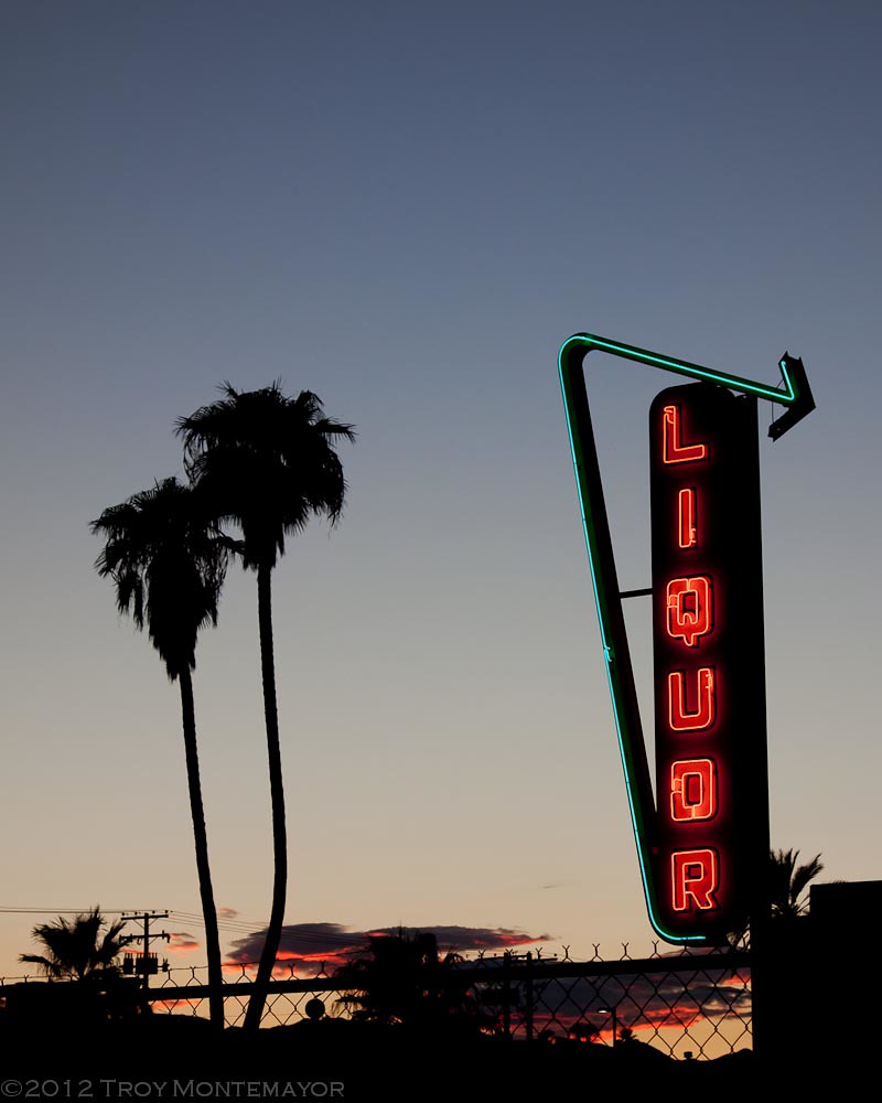
Neon Liquor Sign, Needles, CA

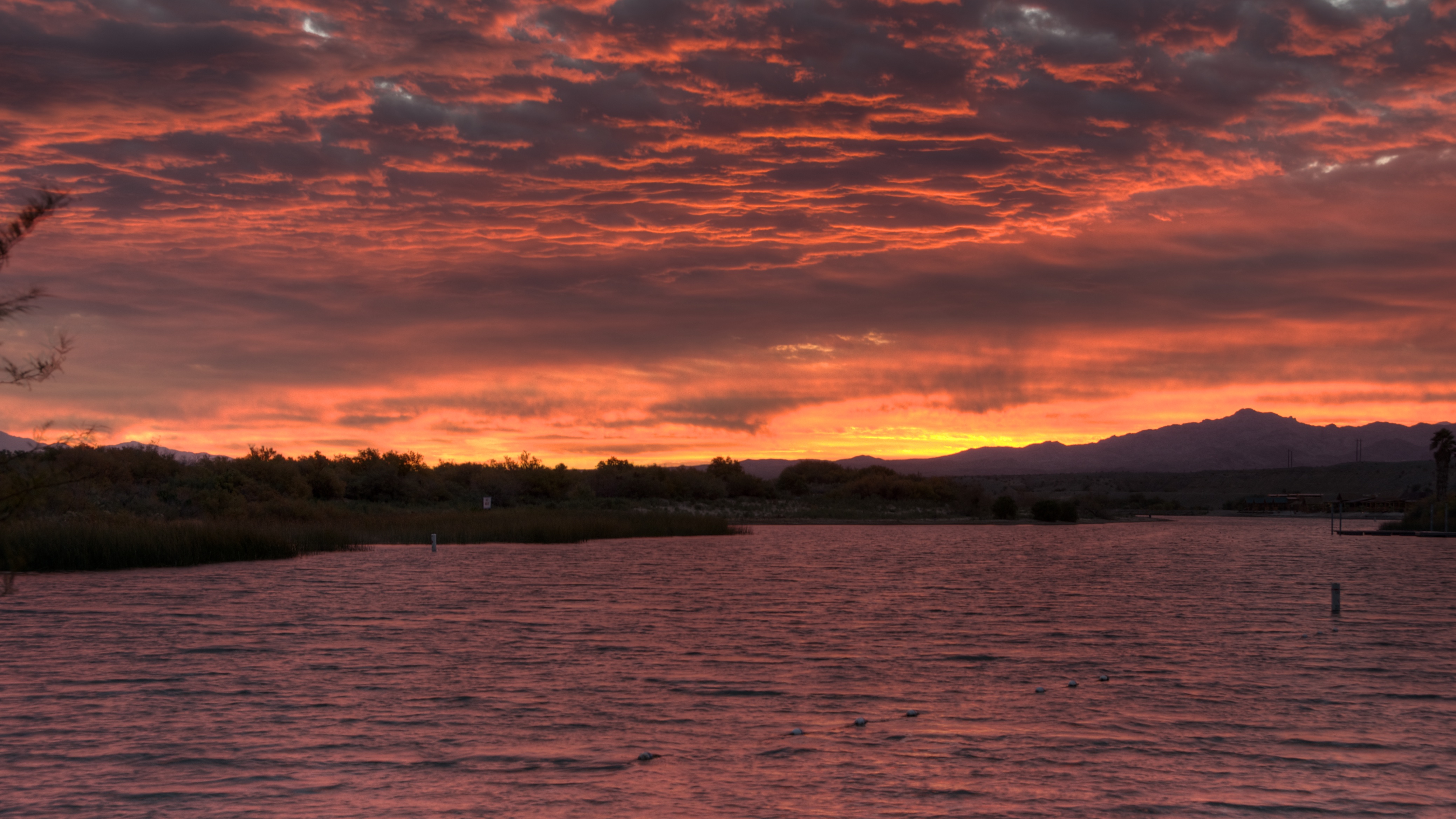
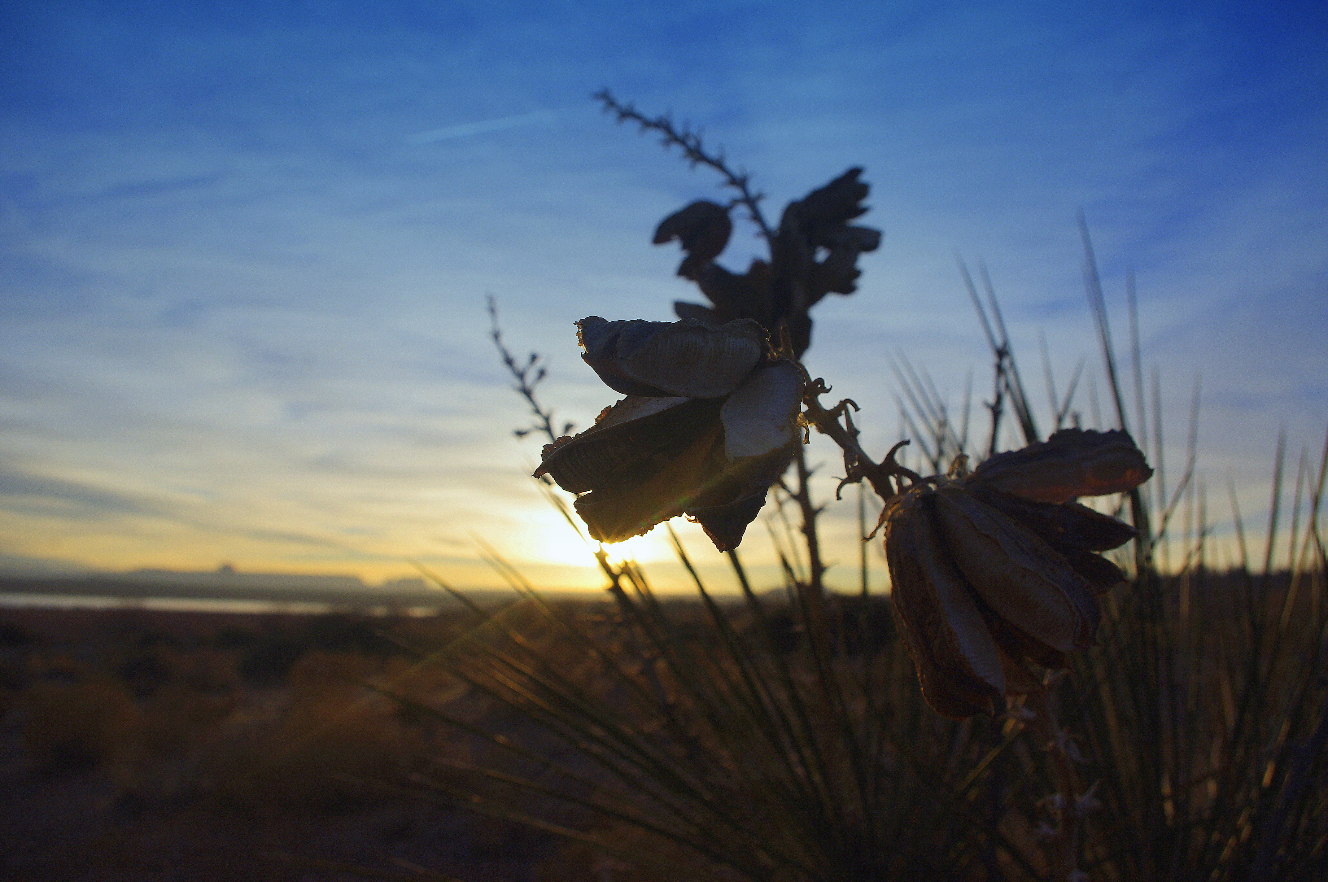
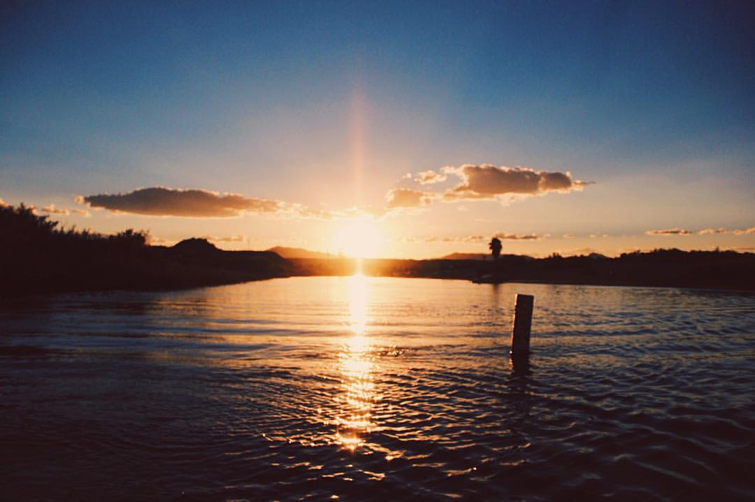
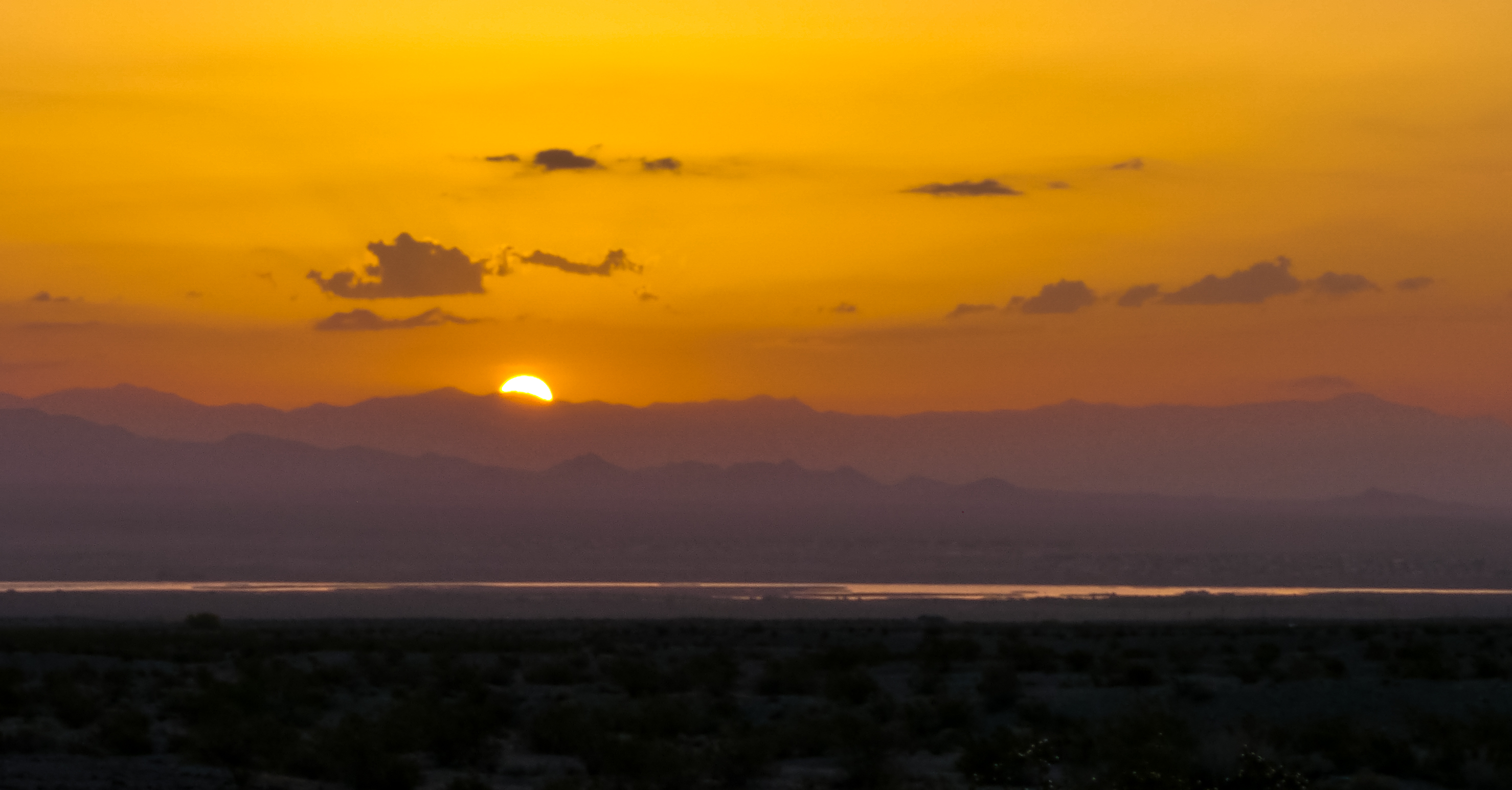
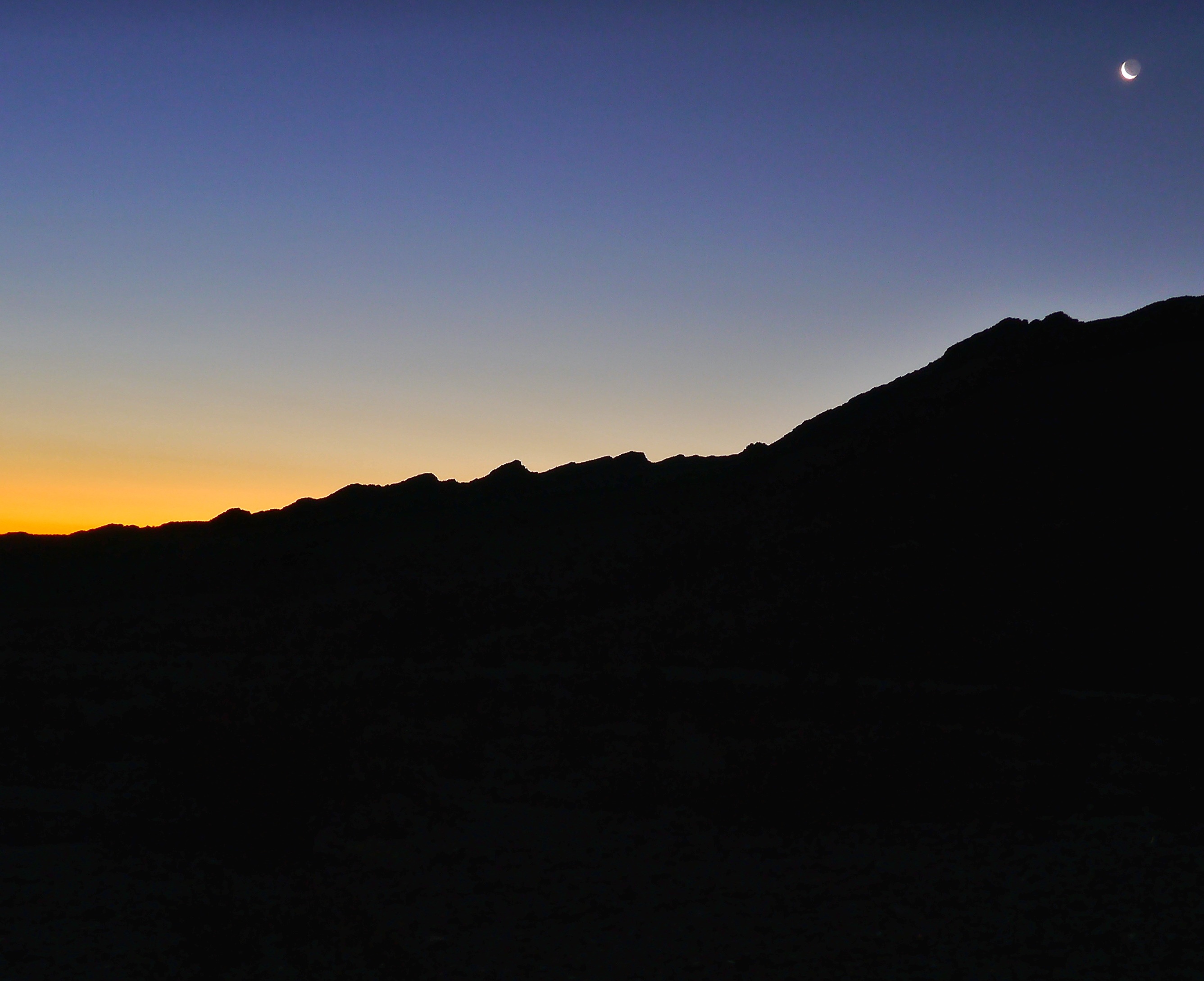
Colorado River Sunset

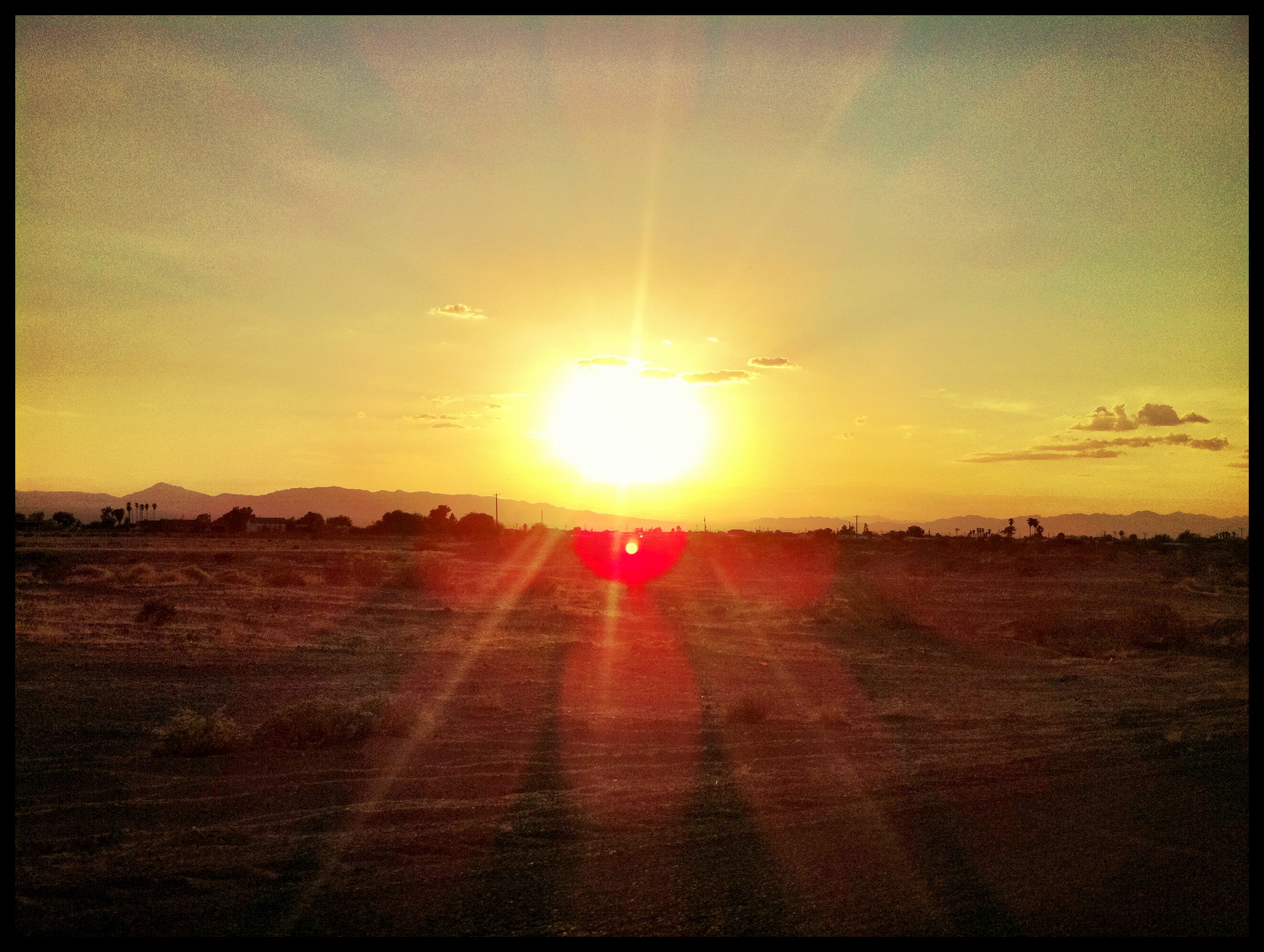
#sunrise @LovesTravel #arizona

#sunrise #arizona @LovesTravel
sunrise 2
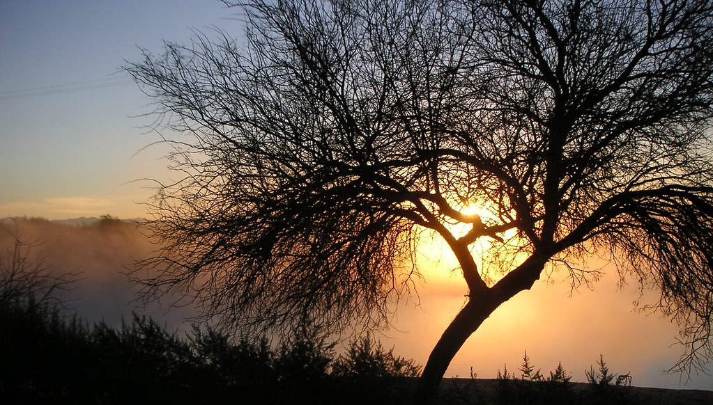
Morning sunrise
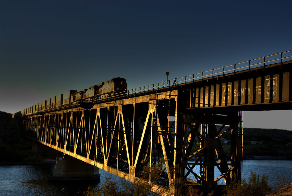
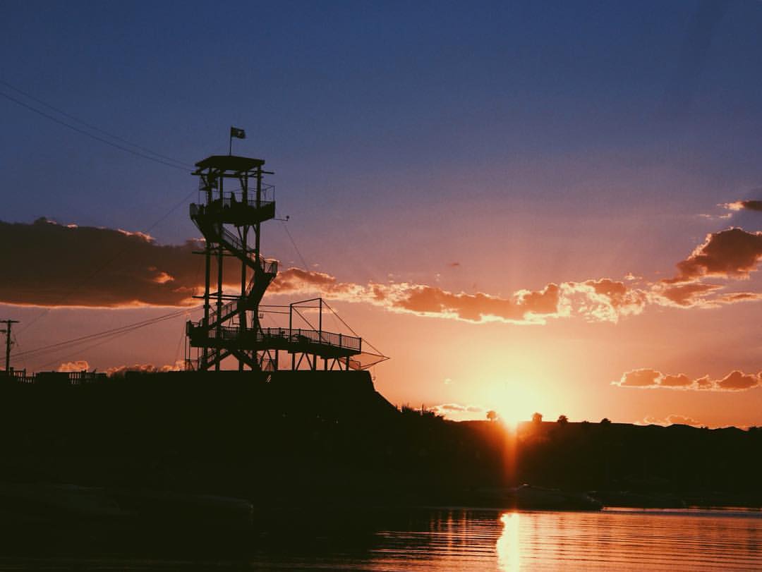
Bridge Crossing at Sunset

怀念Route66 #route66

ROUTE66_2249 - NEEDLES CA
Lake Powell, Az
Route 66 - Victorville - Barstow - 40 - 66 - Topock - Oatman - Kingman
The Glory..#studio354
" A river seems a magic thing. A magic, moving, living part of the very earth itself." #vsco #vscocam #studio354

Docks, breeze, and sunrise

P1020177.jpg
P1020177.jpg

P1020177.jpg

#sunrise @LovesTravel #sky #morning #Arizona #truckstop
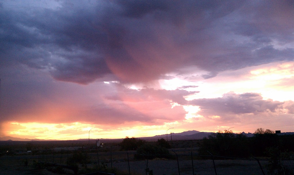
Beautiful Sunrise in Needles
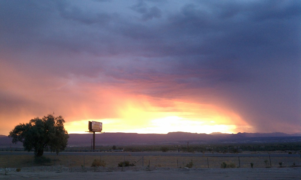
Beautiful Sunrise in Needles

P1020177.jpg
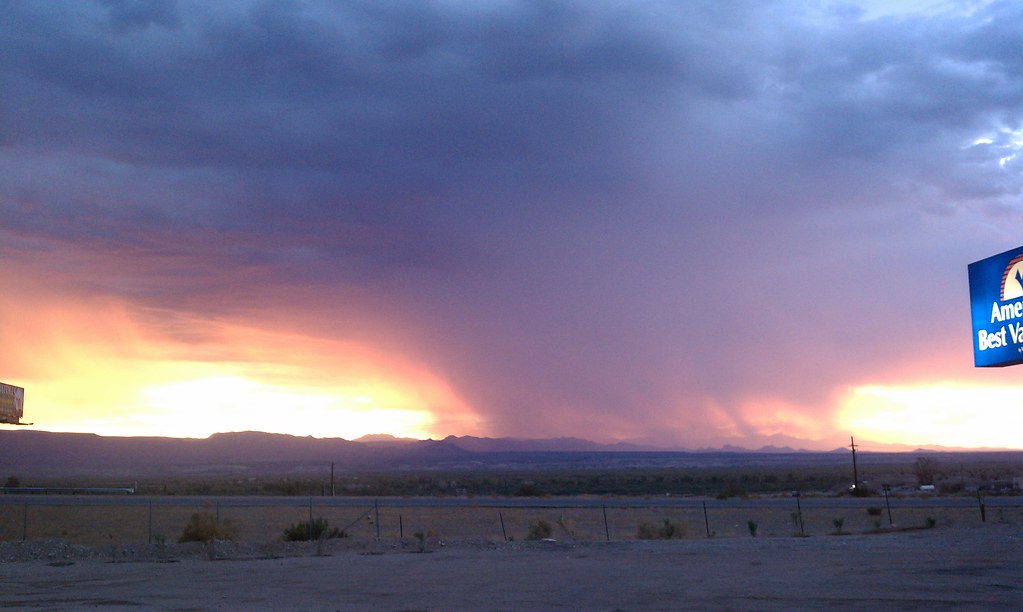
Beautiful Sunrise in Needles
Mohave Valley Sunrise.
Headed into the sunrise

P1020177.jpg
Oatman-Topock Hwy, Topock, AZ アメリカ合衆国の地図
別の場所を検索
近所の場所
Park Dr, Topock, AZ アメリカ合衆国パーク・ドライブ
アメリカ合衆国 〒 アリゾナ州 トポック
アメリカ合衆国 〒 カリフォルニア州 ニードルズRed Rock Bridge
Powell Lake Rd, Topock, AZ アメリカ合衆国
Oatman Highway, Topock, AZ アメリカ合衆国
Pinal Pl, Topock, AZ アメリカ合衆国
Pima Pkwy, Topock, AZ アメリカ合衆国
アメリカ合衆国 〒 アリゾナ州 ザ・ニードルズ
5 Mile Rd, Needles, CA アメリカ合衆国
Airport Rd, Needles, CA アメリカ合衆国Needles Airport-Eed
Hammond Cir, Mohave Valley, AZ アメリカ合衆国
アメリカ合衆国 〒 アリゾナ州 アリゾナ・ビレッジ
Regents Rd, Mohave Valley, AZ アメリカ合衆国
Casa Linda St, Needles, CA アメリカ合衆国
Lillyhill Dr, Needles, CA アメリカ合衆国
Chestnut St, Needles, CA アメリカ合衆国
アメリカ合衆国 〒 カリフォルニア州 ニードルズ
Palo Verde Dr, Mohave Valley, AZ アメリカ合衆国
Cottonwood Ln, Mohave Valley, AZ アメリカ合衆国
E Levee Dr, Mohave Valley, AZ アメリカ合衆国イースト・レビー・ドライブ
最近の検索
- アメリカ合衆国 アラスカ州 レッド・ドッグ・マイン日の出日の入り時間
- Am bhf, Borken, ドイツアム・バーンホーフ日の出日の入り時間
- 4th St E, Sonoma, CA, USA日の出日の入り時間
- Oakland Ave, Williamsport, PA アメリカ合衆国日の出日の入り時間
- Via Roma, Pieranica CR, イタリアローマ通り日の出日の入り時間
- クロアチア 〒 ドゥブロブニク GradClock Tower of Dubrovnik日の出日の入り時間
- アルゼンチン チュブ州 トレリュー日の出日の入り時間
- Hartfords Bluff Cir, Mt Pleasant, SC アメリカ合衆国日の出日の入り時間
- 日本、熊本県熊本市北区日の出日の入り時間
- 中華人民共和国 福州市 平潭県 平潭島日の出日の入り時間