West Side Rd, Bonners Ferry, ID 美國Myrtle Falls Trail的日出日落時間表
Location: 美國 > 愛達荷州 > ID 美國 >
時區:
America/Los_Angeles
當地時間:
2025-06-25 22:39:18
經度:
-116.4163984
緯度:
48.7073396
今天日出時間:
04:44:42 AM
今天日落時間:
08:52:43 PM
今天日照時長:
16h 8m 1s
明天日出時間:
04:45:11 AM
明天日落時間:
08:52:39 PM
明天日照時長:
16h 7m 28s
顯示所有日期
| 日期 | 日出 | 日落 | 日照時長 |
|---|---|---|---|
| 2025年01月01日 | 07:38:12 AM | 04:01:34 PM | 8h 23m 22s |
| 2025年01月02日 | 07:38:04 AM | 04:02:37 PM | 8h 24m 33s |
| 2025年01月03日 | 07:37:53 AM | 04:03:42 PM | 8h 25m 49s |
| 2025年01月04日 | 07:37:39 AM | 04:04:50 PM | 8h 27m 11s |
| 2025年01月05日 | 07:37:22 AM | 04:05:59 PM | 8h 28m 37s |
| 2025年01月06日 | 07:37:02 AM | 04:07:10 PM | 8h 30m 8s |
| 2025年01月07日 | 07:36:40 AM | 04:08:24 PM | 8h 31m 44s |
| 2025年01月08日 | 07:36:14 AM | 04:09:39 PM | 8h 33m 25s |
| 2025年01月09日 | 07:35:46 AM | 04:10:56 PM | 8h 35m 10s |
| 2025年01月10日 | 07:35:14 AM | 04:12:14 PM | 8h 37m 0s |
| 2025年01月11日 | 07:34:40 AM | 04:13:34 PM | 8h 38m 54s |
| 2025年01月12日 | 07:34:03 AM | 04:14:56 PM | 8h 40m 53s |
| 2025年01月13日 | 07:33:24 AM | 04:16:19 PM | 8h 42m 55s |
| 2025年01月14日 | 07:32:41 AM | 04:17:43 PM | 8h 45m 2s |
| 2025年01月15日 | 07:31:56 AM | 04:19:09 PM | 8h 47m 13s |
| 2025年01月16日 | 07:31:09 AM | 04:20:36 PM | 8h 49m 27s |
| 2025年01月17日 | 07:30:18 AM | 04:22:04 PM | 8h 51m 46s |
| 2025年01月18日 | 07:29:26 AM | 04:23:34 PM | 8h 54m 8s |
| 2025年01月19日 | 07:28:30 AM | 04:25:04 PM | 8h 56m 34s |
| 2025年01月20日 | 07:27:33 AM | 04:26:35 PM | 8h 59m 2s |
| 2025年01月21日 | 07:26:32 AM | 04:28:07 PM | 9h 1m 35s |
| 2025年01月22日 | 07:25:30 AM | 04:29:40 PM | 9h 4m 10s |
| 2025年01月23日 | 07:24:25 AM | 04:31:14 PM | 9h 6m 49s |
| 2025年01月24日 | 07:23:18 AM | 04:32:48 PM | 9h 9m 30s |
| 2025年01月25日 | 07:22:08 AM | 04:34:23 PM | 9h 12m 15s |
| 2025年01月26日 | 07:20:57 AM | 04:35:59 PM | 9h 15m 2s |
| 2025年01月27日 | 07:19:43 AM | 04:37:35 PM | 9h 17m 52s |
| 2025年01月28日 | 07:18:27 AM | 04:39:12 PM | 9h 20m 45s |
| 2025年01月29日 | 07:17:10 AM | 04:40:49 PM | 9h 23m 39s |
| 2025年01月30日 | 07:15:50 AM | 04:42:26 PM | 9h 26m 36s |
| 2025年01月31日 | 07:14:28 AM | 04:44:04 PM | 9h 29m 36s |
| 2025年02月01日 | 07:13:04 AM | 04:45:42 PM | 9h 32m 38s |
| 2025年02月02日 | 07:11:39 AM | 04:47:20 PM | 9h 35m 41s |
| 2025年02月03日 | 07:10:12 AM | 04:48:58 PM | 9h 38m 46s |
| 2025年02月04日 | 07:08:43 AM | 04:50:37 PM | 9h 41m 54s |
| 2025年02月05日 | 07:07:12 AM | 04:52:15 PM | 9h 45m 3s |
| 2025年02月06日 | 07:05:39 AM | 04:53:54 PM | 9h 48m 15s |
| 2025年02月07日 | 07:04:05 AM | 04:55:32 PM | 9h 51m 27s |
| 2025年02月08日 | 07:02:30 AM | 04:57:11 PM | 9h 54m 41s |
| 2025年02月09日 | 07:00:53 AM | 04:58:50 PM | 9h 57m 57s |
| 2025年02月10日 | 06:59:14 AM | 05:00:28 PM | 10h 1m 14s |
| 2025年02月11日 | 06:57:34 AM | 05:02:07 PM | 10h 4m 33s |
| 2025年02月12日 | 06:55:53 AM | 05:03:45 PM | 10h 7m 52s |
| 2025年02月13日 | 06:54:10 AM | 05:05:23 PM | 10h 11m 13s |
| 2025年02月14日 | 06:52:26 AM | 05:07:01 PM | 10h 14m 35s |
| 2025年02月15日 | 06:50:41 AM | 05:08:39 PM | 10h 17m 58s |
| 2025年02月16日 | 06:48:54 AM | 05:10:17 PM | 10h 21m 23s |
| 2025年02月17日 | 06:47:07 AM | 05:11:54 PM | 10h 24m 47s |
| 2025年02月18日 | 06:45:18 AM | 05:13:31 PM | 10h 28m 13s |
| 2025年02月19日 | 06:43:28 AM | 05:15:09 PM | 10h 31m 41s |
| 2025年02月20日 | 06:41:37 AM | 05:16:45 PM | 10h 35m 8s |
| 2025年02月21日 | 06:39:45 AM | 05:18:22 PM | 10h 38m 37s |
| 2025年02月22日 | 06:37:52 AM | 05:19:58 PM | 10h 42m 6s |
| 2025年02月23日 | 06:35:58 AM | 05:21:34 PM | 10h 45m 36s |
| 2025年02月24日 | 06:34:03 AM | 05:23:10 PM | 10h 49m 7s |
| 2025年02月25日 | 06:32:08 AM | 05:24:45 PM | 10h 52m 37s |
| 2025年02月26日 | 06:30:11 AM | 05:26:21 PM | 10h 56m 10s |
| 2025年02月27日 | 06:28:14 AM | 05:27:56 PM | 10h 59m 42s |
| 2025年02月28日 | 06:26:16 AM | 05:29:30 PM | 11h 3m 14s |
| 2025年03月01日 | 06:24:17 AM | 05:31:05 PM | 11h 6m 48s |
| 2025年03月02日 | 06:22:18 AM | 05:32:39 PM | 11h 10m 21s |
| 2025年03月03日 | 06:20:18 AM | 05:34:12 PM | 11h 13m 54s |
| 2025年03月04日 | 06:18:18 AM | 05:35:46 PM | 11h 17m 28s |
| 2025年03月05日 | 06:16:16 AM | 05:37:19 PM | 11h 21m 3s |
| 2025年03月06日 | 06:14:15 AM | 05:38:52 PM | 11h 24m 37s |
| 2025年03月07日 | 06:12:12 AM | 05:40:25 PM | 11h 28m 13s |
| 2025年03月08日 | 06:10:10 AM | 05:41:58 PM | 11h 31m 48s |
| 2025年03月09日 | 07:08:12 AM | 06:43:26 PM | 11h 35m 14s |
| 2025年03月10日 | 07:06:08 AM | 06:44:58 PM | 11h 38m 50s |
| 2025年03月11日 | 07:04:04 AM | 06:46:30 PM | 11h 42m 26s |
| 2025年03月12日 | 07:02:00 AM | 06:48:01 PM | 11h 46m 1s |
| 2025年03月13日 | 06:59:56 AM | 06:49:33 PM | 11h 49m 37s |
| 2025年03月14日 | 06:57:51 AM | 06:51:04 PM | 11h 53m 13s |
| 2025年03月15日 | 06:55:46 AM | 06:52:35 PM | 11h 56m 49s |
| 2025年03月16日 | 06:53:41 AM | 06:54:06 PM | 12h 0m 25s |
| 2025年03月17日 | 06:51:35 AM | 06:55:36 PM | 12h 4m 1s |
| 2025年03月18日 | 06:49:30 AM | 06:57:07 PM | 12h 7m 37s |
| 2025年03月19日 | 06:47:24 AM | 06:58:37 PM | 12h 11m 13s |
| 2025年03月20日 | 06:45:18 AM | 07:00:07 PM | 12h 14m 49s |
| 2025年03月21日 | 06:43:12 AM | 07:01:37 PM | 12h 18m 25s |
| 2025年03月22日 | 06:41:06 AM | 07:03:07 PM | 12h 22m 1s |
| 2025年03月23日 | 06:39:00 AM | 07:04:37 PM | 12h 25m 37s |
| 2025年03月24日 | 06:36:55 AM | 07:06:07 PM | 12h 29m 12s |
| 2025年03月25日 | 06:34:49 AM | 07:07:36 PM | 12h 32m 47s |
| 2025年03月26日 | 06:32:43 AM | 07:09:06 PM | 12h 36m 23s |
| 2025年03月27日 | 06:30:38 AM | 07:10:35 PM | 12h 39m 57s |
| 2025年03月28日 | 06:28:32 AM | 07:12:04 PM | 12h 43m 32s |
| 2025年03月29日 | 06:26:27 AM | 07:13:34 PM | 12h 47m 7s |
| 2025年03月30日 | 06:24:22 AM | 07:15:03 PM | 12h 50m 41s |
| 2025年03月31日 | 06:22:17 AM | 07:16:32 PM | 12h 54m 15s |
| 2025年04月01日 | 06:20:13 AM | 07:18:01 PM | 12h 57m 48s |
| 2025年04月02日 | 06:18:09 AM | 07:19:30 PM | 13h 1m 21s |
| 2025年04月03日 | 06:16:05 AM | 07:20:59 PM | 13h 4m 54s |
| 2025年04月04日 | 06:14:02 AM | 07:22:28 PM | 13h 8m 26s |
| 2025年04月05日 | 06:11:59 AM | 07:23:57 PM | 13h 11m 58s |
| 2025年04月06日 | 06:09:56 AM | 07:25:26 PM | 13h 15m 30s |
| 2025年04月07日 | 06:07:54 AM | 07:26:55 PM | 13h 19m 1s |
| 2025年04月08日 | 06:05:52 AM | 07:28:24 PM | 13h 22m 32s |
| 2025年04月09日 | 06:03:51 AM | 07:29:53 PM | 13h 26m 2s |
| 2025年04月10日 | 06:01:51 AM | 07:31:22 PM | 13h 29m 31s |
| 2025年04月11日 | 05:59:51 AM | 07:32:51 PM | 13h 33m 0s |
| 2025年04月12日 | 05:57:52 AM | 07:34:19 PM | 13h 36m 27s |
| 2025年04月13日 | 05:55:53 AM | 07:35:48 PM | 13h 39m 55s |
| 2025年04月14日 | 05:53:56 AM | 07:37:17 PM | 13h 43m 21s |
| 2025年04月15日 | 05:51:59 AM | 07:38:46 PM | 13h 46m 47s |
| 2025年04月16日 | 05:50:02 AM | 07:40:15 PM | 13h 50m 13s |
| 2025年04月17日 | 05:48:07 AM | 07:41:44 PM | 13h 53m 37s |
| 2025年04月18日 | 05:46:12 AM | 07:43:12 PM | 13h 57m 0s |
| 2025年04月19日 | 05:44:19 AM | 07:44:41 PM | 14h 0m 22s |
| 2025年04月20日 | 05:42:26 AM | 07:46:10 PM | 14h 3m 44s |
| 2025年04月21日 | 05:40:34 AM | 07:47:38 PM | 14h 7m 4s |
| 2025年04月22日 | 05:38:43 AM | 07:49:07 PM | 14h 10m 24s |
| 2025年04月23日 | 05:36:53 AM | 07:50:35 PM | 14h 13m 42s |
| 2025年04月24日 | 05:35:05 AM | 07:52:03 PM | 14h 16m 58s |
| 2025年04月25日 | 05:33:17 AM | 07:53:31 PM | 14h 20m 14s |
| 2025年04月26日 | 05:31:31 AM | 07:54:59 PM | 14h 23m 28s |
| 2025年04月27日 | 05:29:45 AM | 07:56:27 PM | 14h 26m 42s |
| 2025年04月28日 | 05:28:01 AM | 07:57:55 PM | 14h 29m 54s |
| 2025年04月29日 | 05:26:19 AM | 07:59:22 PM | 14h 33m 3s |
| 2025年04月30日 | 05:24:37 AM | 08:00:49 PM | 14h 36m 12s |
| 2025年05月01日 | 05:22:57 AM | 08:02:16 PM | 14h 39m 19s |
| 2025年05月02日 | 05:21:19 AM | 08:03:42 PM | 14h 42m 23s |
| 2025年05月03日 | 05:19:41 AM | 08:05:09 PM | 14h 45m 28s |
| 2025年05月04日 | 05:18:06 AM | 08:06:34 PM | 14h 48m 28s |
| 2025年05月05日 | 05:16:31 AM | 08:08:00 PM | 14h 51m 29s |
| 2025年05月06日 | 05:14:59 AM | 08:09:25 PM | 14h 54m 26s |
| 2025年05月07日 | 05:13:28 AM | 08:10:49 PM | 14h 57m 21s |
| 2025年05月08日 | 05:11:58 AM | 08:12:13 PM | 15h 0m 15s |
| 2025年05月09日 | 05:10:31 AM | 08:13:37 PM | 15h 3m 6s |
| 2025年05月10日 | 05:09:05 AM | 08:15:00 PM | 15h 5m 55s |
| 2025年05月11日 | 05:07:40 AM | 08:16:22 PM | 15h 8m 42s |
| 2025年05月12日 | 05:06:18 AM | 08:17:44 PM | 15h 11m 26s |
| 2025年05月13日 | 05:04:58 AM | 08:19:04 PM | 15h 14m 6s |
| 2025年05月14日 | 05:03:39 AM | 08:20:25 PM | 15h 16m 46s |
| 2025年05月15日 | 05:02:22 AM | 08:21:44 PM | 15h 19m 22s |
| 2025年05月16日 | 05:01:08 AM | 08:23:02 PM | 15h 21m 54s |
| 2025年05月17日 | 04:59:55 AM | 08:24:20 PM | 15h 24m 25s |
| 2025年05月18日 | 04:58:44 AM | 08:25:36 PM | 15h 26m 52s |
| 2025年05月19日 | 04:57:36 AM | 08:26:52 PM | 15h 29m 16s |
| 2025年05月20日 | 04:56:30 AM | 08:28:06 PM | 15h 31m 36s |
| 2025年05月21日 | 04:55:26 AM | 08:29:19 PM | 15h 33m 53s |
| 2025年05月22日 | 04:54:24 AM | 08:30:31 PM | 15h 36m 7s |
| 2025年05月23日 | 04:53:24 AM | 08:31:42 PM | 15h 38m 18s |
| 2025年05月24日 | 04:52:27 AM | 08:32:51 PM | 15h 40m 24s |
| 2025年05月25日 | 04:51:32 AM | 08:34:00 PM | 15h 42m 28s |
| 2025年05月26日 | 04:50:39 AM | 08:35:06 PM | 15h 44m 27s |
| 2025年05月27日 | 04:49:49 AM | 08:36:11 PM | 15h 46m 22s |
| 2025年05月28日 | 04:49:02 AM | 08:37:15 PM | 15h 48m 13s |
| 2025年05月29日 | 04:48:16 AM | 08:38:17 PM | 15h 50m 1s |
| 2025年05月30日 | 04:47:34 AM | 08:39:17 PM | 15h 51m 43s |
| 2025年05月31日 | 04:46:53 AM | 08:40:16 PM | 15h 53m 23s |
| 2025年06月01日 | 04:46:16 AM | 08:41:13 PM | 15h 54m 57s |
| 2025年06月02日 | 04:45:41 AM | 08:42:08 PM | 15h 56m 27s |
| 2025年06月03日 | 04:45:08 AM | 08:43:01 PM | 15h 57m 53s |
| 2025年06月04日 | 04:44:39 AM | 08:43:52 PM | 15h 59m 13s |
| 2025年06月05日 | 04:44:12 AM | 08:44:41 PM | 16h 0m 29s |
| 2025年06月06日 | 04:43:47 AM | 08:45:28 PM | 16h 1m 41s |
| 2025年06月07日 | 04:43:25 AM | 08:46:12 PM | 16h 2m 47s |
| 2025年06月08日 | 04:43:06 AM | 08:46:55 PM | 16h 3m 49s |
| 2025年06月09日 | 04:42:50 AM | 08:47:36 PM | 16h 4m 46s |
| 2025年06月10日 | 04:42:36 AM | 08:48:14 PM | 16h 5m 38s |
| 2025年06月11日 | 04:42:25 AM | 08:48:49 PM | 16h 6m 24s |
| 2025年06月12日 | 04:42:17 AM | 08:49:23 PM | 16h 7m 6s |
| 2025年06月13日 | 04:42:11 AM | 08:49:54 PM | 16h 7m 43s |
| 2025年06月14日 | 04:42:09 AM | 08:50:22 PM | 16h 8m 13s |
| 2025年06月15日 | 04:42:08 AM | 08:50:48 PM | 16h 8m 40s |
| 2025年06月16日 | 04:42:11 AM | 08:51:12 PM | 16h 9m 1s |
| 2025年06月17日 | 04:42:16 AM | 08:51:33 PM | 16h 9m 17s |
| 2025年06月18日 | 04:42:24 AM | 08:51:51 PM | 16h 9m 27s |
| 2025年06月19日 | 04:42:34 AM | 08:52:07 PM | 16h 9m 33s |
| 2025年06月20日 | 04:42:48 AM | 08:52:20 PM | 16h 9m 32s |
| 2025年06月21日 | 04:43:03 AM | 08:52:30 PM | 16h 9m 27s |
| 2025年06月22日 | 04:43:22 AM | 08:52:38 PM | 16h 9m 16s |
| 2025年06月23日 | 04:43:42 AM | 08:52:43 PM | 16h 9m 1s |
| 2025年06月24日 | 04:44:06 AM | 08:52:45 PM | 16h 8m 39s |
| 2025年06月25日 | 04:44:31 AM | 08:52:44 PM | 16h 8m 13s |
| 2025年06月26日 | 04:45:00 AM | 08:52:41 PM | 16h 7m 41s |
| 2025年06月27日 | 04:45:30 AM | 08:52:35 PM | 16h 7m 5s |
| 2025年06月28日 | 04:46:03 AM | 08:52:26 PM | 16h 6m 23s |
| 2025年06月29日 | 04:46:38 AM | 08:52:15 PM | 16h 5m 37s |
| 2025年06月30日 | 04:47:16 AM | 08:52:00 PM | 16h 4m 44s |
| 2025年07月01日 | 04:47:55 AM | 08:51:43 PM | 16h 3m 48s |
| 2025年07月02日 | 04:48:37 AM | 08:51:24 PM | 16h 2m 47s |
| 2025年07月03日 | 04:49:21 AM | 08:51:01 PM | 16h 1m 40s |
| 2025年07月04日 | 04:50:07 AM | 08:50:36 PM | 16h 0m 29s |
| 2025年07月05日 | 04:50:55 AM | 08:50:08 PM | 15h 59m 13s |
| 2025年07月06日 | 04:51:45 AM | 08:49:37 PM | 15h 57m 52s |
| 2025年07月07日 | 04:52:36 AM | 08:49:04 PM | 15h 56m 28s |
| 2025年07月08日 | 04:53:30 AM | 08:48:28 PM | 15h 54m 58s |
| 2025年07月09日 | 04:54:25 AM | 08:47:50 PM | 15h 53m 25s |
| 2025年07月10日 | 04:55:22 AM | 08:47:08 PM | 15h 51m 46s |
| 2025年07月11日 | 04:56:21 AM | 08:46:25 PM | 15h 50m 4s |
| 2025年07月12日 | 04:57:21 AM | 08:45:39 PM | 15h 48m 18s |
| 2025年07月13日 | 04:58:23 AM | 08:44:50 PM | 15h 46m 27s |
| 2025年07月14日 | 04:59:26 AM | 08:43:59 PM | 15h 44m 33s |
| 2025年07月15日 | 05:00:31 AM | 08:43:05 PM | 15h 42m 34s |
| 2025年07月16日 | 05:01:37 AM | 08:42:09 PM | 15h 40m 32s |
| 2025年07月17日 | 05:02:44 AM | 08:41:11 PM | 15h 38m 27s |
| 2025年07月18日 | 05:03:53 AM | 08:40:10 PM | 15h 36m 17s |
| 2025年07月19日 | 05:05:03 AM | 08:39:07 PM | 15h 34m 4s |
| 2025年07月20日 | 05:06:13 AM | 08:38:02 PM | 15h 31m 49s |
| 2025年07月21日 | 05:07:25 AM | 08:36:55 PM | 15h 29m 30s |
| 2025年07月22日 | 05:08:38 AM | 08:35:45 PM | 15h 27m 7s |
| 2025年07月23日 | 05:09:52 AM | 08:34:33 PM | 15h 24m 41s |
| 2025年07月24日 | 05:11:07 AM | 08:33:20 PM | 15h 22m 13s |
| 2025年07月25日 | 05:12:22 AM | 08:32:04 PM | 15h 19m 42s |
| 2025年07月26日 | 05:13:39 AM | 08:30:46 PM | 15h 17m 7s |
| 2025年07月27日 | 05:14:56 AM | 08:29:26 PM | 15h 14m 30s |
| 2025年07月28日 | 05:16:14 AM | 08:28:05 PM | 15h 11m 51s |
| 2025年07月29日 | 05:17:32 AM | 08:26:41 PM | 15h 9m 9s |
| 2025年07月30日 | 05:18:51 AM | 08:25:16 PM | 15h 6m 25s |
| 2025年07月31日 | 05:20:11 AM | 08:23:49 PM | 15h 3m 38s |
| 2025年08月01日 | 05:21:31 AM | 08:22:20 PM | 15h 0m 49s |
| 2025年08月02日 | 05:22:52 AM | 08:20:49 PM | 14h 57m 57s |
| 2025年08月03日 | 05:24:13 AM | 08:19:17 PM | 14h 55m 4s |
| 2025年08月04日 | 05:25:34 AM | 08:17:43 PM | 14h 52m 9s |
| 2025年08月05日 | 05:26:56 AM | 08:16:08 PM | 14h 49m 12s |
| 2025年08月06日 | 05:28:18 AM | 08:14:31 PM | 14h 46m 13s |
| 2025年08月07日 | 05:29:41 AM | 08:12:52 PM | 14h 43m 11s |
| 2025年08月08日 | 05:31:04 AM | 08:11:12 PM | 14h 40m 8s |
| 2025年08月09日 | 05:32:27 AM | 08:09:31 PM | 14h 37m 4s |
| 2025年08月10日 | 05:33:50 AM | 08:07:49 PM | 14h 33m 59s |
| 2025年08月11日 | 05:35:13 AM | 08:06:05 PM | 14h 30m 52s |
| 2025年08月12日 | 05:36:37 AM | 08:04:19 PM | 14h 27m 42s |
| 2025年08月13日 | 05:38:01 AM | 08:02:33 PM | 14h 24m 32s |
| 2025年08月14日 | 05:39:25 AM | 08:00:45 PM | 14h 21m 20s |
| 2025年08月15日 | 05:40:49 AM | 07:58:57 PM | 14h 18m 8s |
| 2025年08月16日 | 05:42:13 AM | 07:57:07 PM | 14h 14m 54s |
| 2025年08月17日 | 05:43:37 AM | 07:55:16 PM | 14h 11m 39s |
| 2025年08月18日 | 05:45:01 AM | 07:53:24 PM | 14h 8m 23s |
| 2025年08月19日 | 05:46:25 AM | 07:51:31 PM | 14h 5m 6s |
| 2025年08月20日 | 05:47:50 AM | 07:49:37 PM | 14h 1m 47s |
| 2025年08月21日 | 05:49:14 AM | 07:47:42 PM | 13h 58m 28s |
| 2025年08月22日 | 05:50:38 AM | 07:45:46 PM | 13h 55m 8s |
| 2025年08月23日 | 05:52:03 AM | 07:43:49 PM | 13h 51m 46s |
| 2025年08月24日 | 05:53:27 AM | 07:41:52 PM | 13h 48m 25s |
| 2025年08月25日 | 05:54:51 AM | 07:39:53 PM | 13h 45m 2s |
| 2025年08月26日 | 05:56:16 AM | 07:37:54 PM | 13h 41m 38s |
| 2025年08月27日 | 05:57:40 AM | 07:35:54 PM | 13h 38m 14s |
| 2025年08月28日 | 05:59:04 AM | 07:33:54 PM | 13h 34m 50s |
| 2025年08月29日 | 06:00:29 AM | 07:31:53 PM | 13h 31m 24s |
| 2025年08月30日 | 06:01:53 AM | 07:29:51 PM | 13h 27m 58s |
| 2025年08月31日 | 06:03:17 AM | 07:27:49 PM | 13h 24m 32s |
| 2025年09月01日 | 06:04:41 AM | 07:25:46 PM | 13h 21m 5s |
| 2025年09月02日 | 06:06:06 AM | 07:23:42 PM | 13h 17m 36s |
| 2025年09月03日 | 06:07:30 AM | 07:21:38 PM | 13h 14m 8s |
| 2025年09月04日 | 06:08:54 AM | 07:19:34 PM | 13h 10m 40s |
| 2025年09月05日 | 06:10:18 AM | 07:17:29 PM | 13h 7m 11s |
| 2025年09月06日 | 06:11:42 AM | 07:15:24 PM | 13h 3m 42s |
| 2025年09月07日 | 06:13:06 AM | 07:13:18 PM | 13h 0m 12s |
| 2025年09月08日 | 06:14:31 AM | 07:11:12 PM | 12h 56m 41s |
| 2025年09月09日 | 06:15:55 AM | 07:09:06 PM | 12h 53m 11s |
| 2025年09月10日 | 06:17:19 AM | 07:07:00 PM | 12h 49m 41s |
| 2025年09月11日 | 06:18:43 AM | 07:04:53 PM | 12h 46m 10s |
| 2025年09月12日 | 06:20:08 AM | 07:02:46 PM | 12h 42m 38s |
| 2025年09月13日 | 06:21:32 AM | 07:00:39 PM | 12h 39m 7s |
| 2025年09月14日 | 06:22:56 AM | 06:58:32 PM | 12h 35m 36s |
| 2025年09月15日 | 06:24:21 AM | 06:56:24 PM | 12h 32m 3s |
| 2025年09月16日 | 06:25:46 AM | 06:54:17 PM | 12h 28m 31s |
| 2025年09月17日 | 06:27:10 AM | 06:52:09 PM | 12h 24m 59s |
| 2025年09月18日 | 06:28:35 AM | 06:50:02 PM | 12h 21m 27s |
| 2025年09月19日 | 06:30:00 AM | 06:47:54 PM | 12h 17m 54s |
| 2025年09月20日 | 06:31:25 AM | 06:45:46 PM | 12h 14m 21s |
| 2025年09月21日 | 06:32:50 AM | 06:43:39 PM | 12h 10m 49s |
| 2025年09月22日 | 06:34:15 AM | 06:41:32 PM | 12h 7m 17s |
| 2025年09月23日 | 06:35:41 AM | 06:39:24 PM | 12h 3m 43s |
| 2025年09月24日 | 06:37:06 AM | 06:37:17 PM | 12h 0m 11s |
| 2025年09月25日 | 06:38:32 AM | 06:35:10 PM | 11h 56m 38s |
| 2025年09月26日 | 06:39:58 AM | 06:33:03 PM | 11h 53m 5s |
| 2025年09月27日 | 06:41:24 AM | 06:30:57 PM | 11h 49m 33s |
| 2025年09月28日 | 06:42:51 AM | 06:28:51 PM | 11h 46m 0s |
| 2025年09月29日 | 06:44:17 AM | 06:26:45 PM | 11h 42m 28s |
| 2025年09月30日 | 06:45:44 AM | 06:24:39 PM | 11h 38m 55s |
| 2025年10月01日 | 06:47:11 AM | 06:22:34 PM | 11h 35m 23s |
| 2025年10月02日 | 06:48:39 AM | 06:20:29 PM | 11h 31m 50s |
| 2025年10月03日 | 06:50:06 AM | 06:18:25 PM | 11h 28m 19s |
| 2025年10月04日 | 06:51:34 AM | 06:16:21 PM | 11h 24m 47s |
| 2025年10月05日 | 06:53:02 AM | 06:14:17 PM | 11h 21m 15s |
| 2025年10月06日 | 06:54:30 AM | 06:12:14 PM | 11h 17m 44s |
| 2025年10月07日 | 06:55:59 AM | 06:10:12 PM | 11h 14m 13s |
| 2025年10月08日 | 06:57:28 AM | 06:08:10 PM | 11h 10m 42s |
| 2025年10月09日 | 06:58:57 AM | 06:06:09 PM | 11h 7m 12s |
| 2025年10月10日 | 07:00:27 AM | 06:04:09 PM | 11h 3m 42s |
| 2025年10月11日 | 07:01:57 AM | 06:02:09 PM | 11h 0m 12s |
| 2025年10月12日 | 07:03:27 AM | 06:00:10 PM | 10h 56m 43s |
| 2025年10月13日 | 07:04:57 AM | 05:58:12 PM | 10h 53m 15s |
| 2025年10月14日 | 07:06:28 AM | 05:56:14 PM | 10h 49m 46s |
| 2025年10月15日 | 07:07:59 AM | 05:54:17 PM | 10h 46m 18s |
| 2025年10月16日 | 07:09:30 AM | 05:52:22 PM | 10h 42m 52s |
| 2025年10月17日 | 07:11:02 AM | 05:50:27 PM | 10h 39m 25s |
| 2025年10月18日 | 07:12:34 AM | 05:48:33 PM | 10h 35m 59s |
| 2025年10月19日 | 07:14:06 AM | 05:46:40 PM | 10h 32m 34s |
| 2025年10月20日 | 07:15:38 AM | 05:44:48 PM | 10h 29m 10s |
| 2025年10月21日 | 07:17:11 AM | 05:42:57 PM | 10h 25m 46s |
| 2025年10月22日 | 07:18:44 AM | 05:41:08 PM | 10h 22m 24s |
| 2025年10月23日 | 07:20:17 AM | 05:39:19 PM | 10h 19m 2s |
| 2025年10月24日 | 07:21:51 AM | 05:37:32 PM | 10h 15m 41s |
| 2025年10月25日 | 07:23:25 AM | 05:35:46 PM | 10h 12m 21s |
| 2025年10月26日 | 07:24:59 AM | 05:34:01 PM | 10h 9m 2s |
| 2025年10月27日 | 07:26:33 AM | 05:32:17 PM | 10h 5m 44s |
| 2025年10月28日 | 07:28:07 AM | 05:30:35 PM | 10h 2m 28s |
| 2025年10月29日 | 07:29:41 AM | 05:28:54 PM | 9h 59m 13s |
| 2025年10月30日 | 07:31:16 AM | 05:27:15 PM | 9h 55m 59s |
| 2025年10月31日 | 07:32:51 AM | 05:25:37 PM | 9h 52m 46s |
| 2025年11月01日 | 07:34:25 AM | 05:24:01 PM | 9h 49m 36s |
| 2025年11月02日 | 06:36:04 AM | 04:22:22 PM | 9h 46m 18s |
| 2025年11月03日 | 06:37:39 AM | 04:20:49 PM | 9h 43m 10s |
| 2025年11月04日 | 06:39:14 AM | 04:19:17 PM | 9h 40m 3s |
| 2025年11月05日 | 06:40:48 AM | 04:17:48 PM | 9h 37m 0s |
| 2025年11月06日 | 06:42:23 AM | 04:16:20 PM | 9h 33m 57s |
| 2025年11月07日 | 06:43:57 AM | 04:14:54 PM | 9h 30m 57s |
| 2025年11月08日 | 06:45:32 AM | 04:13:30 PM | 9h 27m 58s |
| 2025年11月09日 | 06:47:06 AM | 04:12:07 PM | 9h 25m 1s |
| 2025年11月10日 | 06:48:40 AM | 04:10:47 PM | 9h 22m 7s |
| 2025年11月11日 | 06:50:13 AM | 04:09:29 PM | 9h 19m 16s |
| 2025年11月12日 | 06:51:46 AM | 04:08:12 PM | 9h 16m 26s |
| 2025年11月13日 | 06:53:19 AM | 04:06:58 PM | 9h 13m 39s |
| 2025年11月14日 | 06:54:51 AM | 04:05:46 PM | 9h 10m 55s |
| 2025年11月15日 | 06:56:23 AM | 04:04:36 PM | 9h 8m 13s |
| 2025年11月16日 | 06:57:54 AM | 04:03:29 PM | 9h 5m 35s |
| 2025年11月17日 | 06:59:25 AM | 04:02:24 PM | 9h 2m 59s |
| 2025年11月18日 | 07:00:55 AM | 04:01:21 PM | 9h 0m 26s |
| 2025年11月19日 | 07:02:24 AM | 04:00:20 PM | 8h 57m 56s |
| 2025年11月20日 | 07:03:52 AM | 03:59:22 PM | 8h 55m 30s |
| 2025年11月21日 | 07:05:20 AM | 03:58:27 PM | 8h 53m 7s |
| 2025年11月22日 | 07:06:46 AM | 03:57:33 PM | 8h 50m 47s |
| 2025年11月23日 | 07:08:11 AM | 03:56:43 PM | 8h 48m 32s |
| 2025年11月24日 | 07:09:36 AM | 03:55:55 PM | 8h 46m 19s |
| 2025年11月25日 | 07:10:59 AM | 03:55:10 PM | 8h 44m 11s |
| 2025年11月26日 | 07:12:21 AM | 03:54:27 PM | 8h 42m 6s |
| 2025年11月27日 | 07:13:41 AM | 03:53:48 PM | 8h 40m 7s |
| 2025年11月28日 | 07:15:00 AM | 03:53:11 PM | 8h 38m 11s |
| 2025年11月29日 | 07:16:18 AM | 03:52:36 PM | 8h 36m 18s |
| 2025年11月30日 | 07:17:34 AM | 03:52:05 PM | 8h 34m 31s |
| 2025年12月01日 | 07:18:49 AM | 03:51:37 PM | 8h 32m 48s |
| 2025年12月02日 | 07:20:02 AM | 03:51:11 PM | 8h 31m 9s |
| 2025年12月03日 | 07:21:13 AM | 03:50:48 PM | 8h 29m 35s |
| 2025年12月04日 | 07:22:22 AM | 03:50:29 PM | 8h 28m 7s |
| 2025年12月05日 | 07:23:30 AM | 03:50:12 PM | 8h 26m 42s |
| 2025年12月06日 | 07:24:35 AM | 03:49:58 PM | 8h 25m 23s |
| 2025年12月07日 | 07:25:39 AM | 03:49:47 PM | 8h 24m 8s |
| 2025年12月08日 | 07:26:40 AM | 03:49:40 PM | 8h 23m 0s |
| 2025年12月09日 | 07:27:39 AM | 03:49:35 PM | 8h 21m 56s |
| 2025年12月10日 | 07:28:36 AM | 03:49:33 PM | 8h 20m 57s |
| 2025年12月11日 | 07:29:30 AM | 03:49:35 PM | 8h 20m 5s |
| 2025年12月12日 | 07:30:22 AM | 03:49:39 PM | 8h 19m 17s |
| 2025年12月13日 | 07:31:12 AM | 03:49:47 PM | 8h 18m 35s |
| 2025年12月14日 | 07:31:59 AM | 03:49:57 PM | 8h 17m 58s |
| 2025年12月15日 | 07:32:44 AM | 03:50:11 PM | 8h 17m 27s |
| 2025年12月16日 | 07:33:26 AM | 03:50:28 PM | 8h 17m 2s |
| 2025年12月17日 | 07:34:05 AM | 03:50:47 PM | 8h 16m 42s |
| 2025年12月18日 | 07:34:42 AM | 03:51:10 PM | 8h 16m 28s |
| 2025年12月19日 | 07:35:16 AM | 03:51:35 PM | 8h 16m 19s |
| 2025年12月20日 | 07:35:47 AM | 03:52:04 PM | 8h 16m 17s |
| 2025年12月21日 | 07:36:15 AM | 03:52:35 PM | 8h 16m 20s |
| 2025年12月22日 | 07:36:41 AM | 03:53:10 PM | 8h 16m 29s |
| 2025年12月23日 | 07:37:03 AM | 03:53:47 PM | 8h 16m 44s |
| 2025年12月24日 | 07:37:23 AM | 03:54:26 PM | 8h 17m 3s |
| 2025年12月25日 | 07:37:40 AM | 03:55:09 PM | 8h 17m 29s |
| 2025年12月26日 | 07:37:53 AM | 03:55:54 PM | 8h 18m 1s |
| 2025年12月27日 | 07:38:04 AM | 03:56:42 PM | 8h 18m 38s |
| 2025年12月28日 | 07:38:12 AM | 03:57:33 PM | 8h 19m 21s |
| 2025年12月29日 | 07:38:17 AM | 03:58:26 PM | 8h 20m 9s |
| 2025年12月30日 | 07:38:18 AM | 03:59:21 PM | 8h 21m 3s |
| 2025年12月31日 | 07:38:17 AM | 04:00:19 PM | 8h 22m 2s |
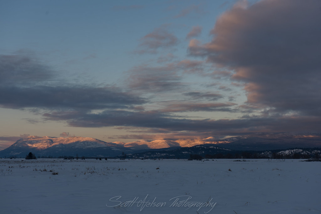
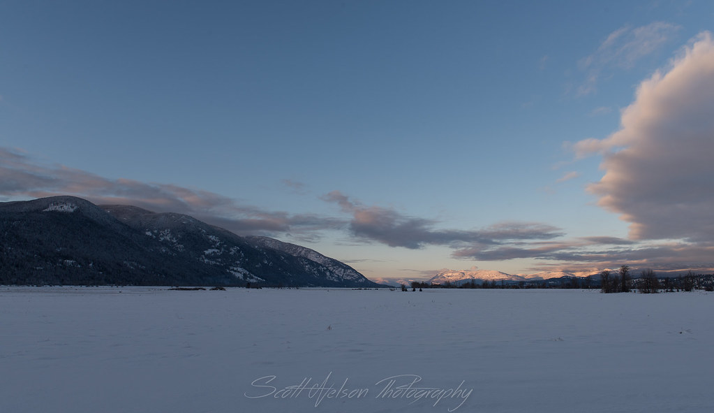
日出日落照片
Exhale...
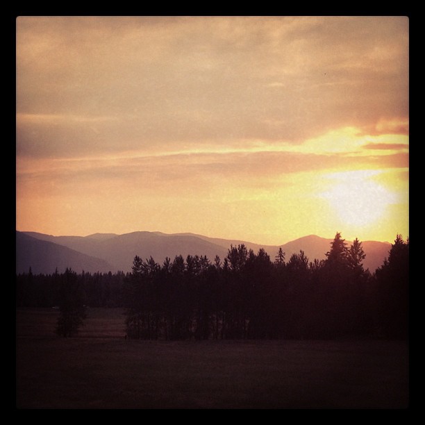
Sunset on the Selkirks
Sunset on the Selkirks
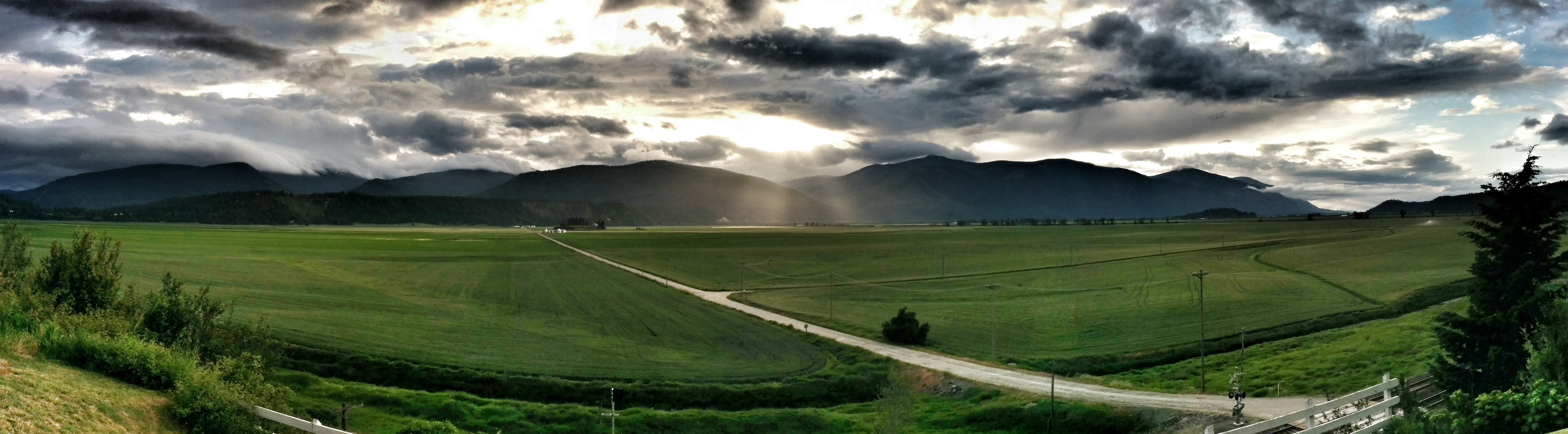
Sunset over Kootenai Valley

The headwall
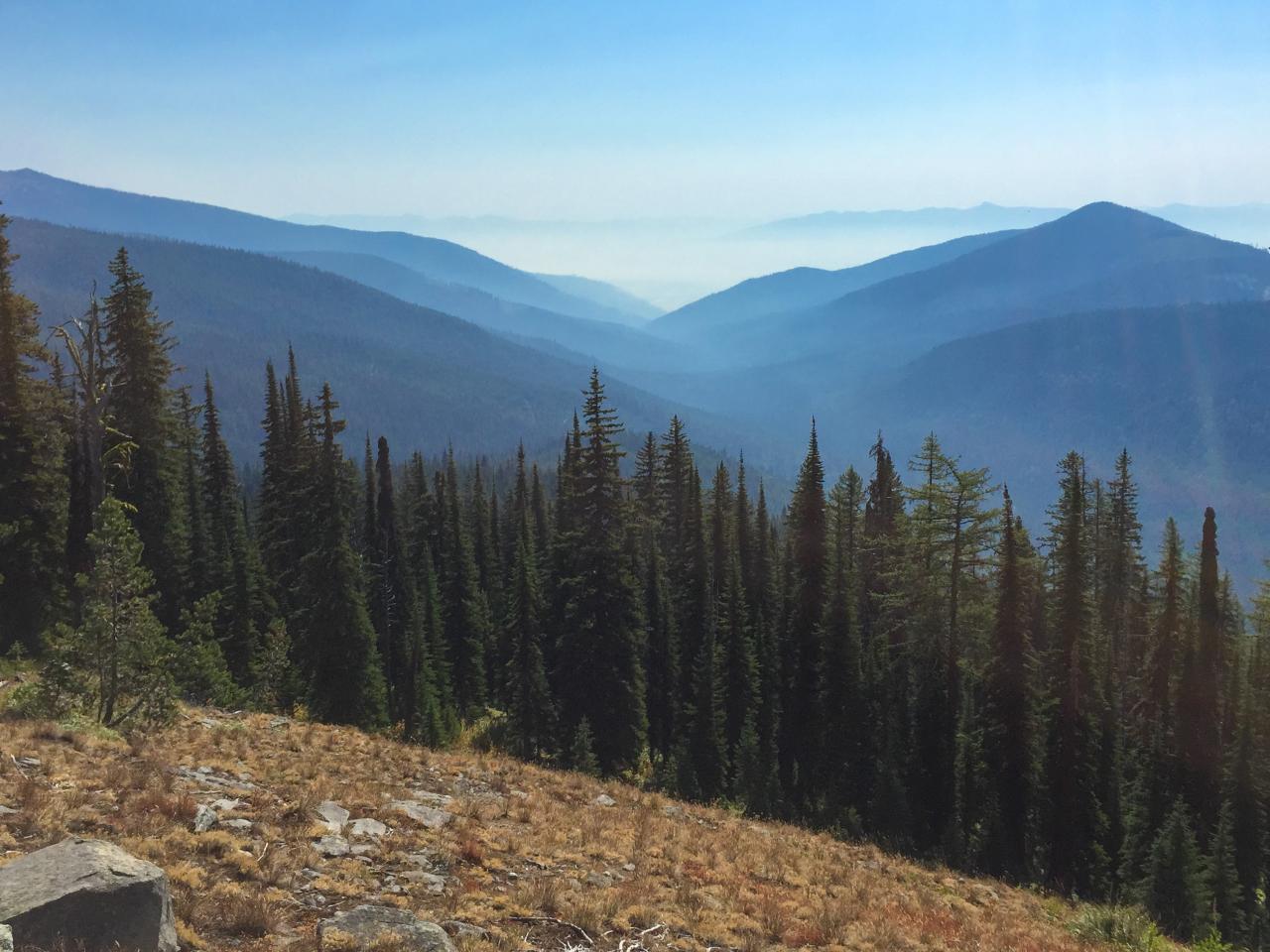
View of the eastern valley
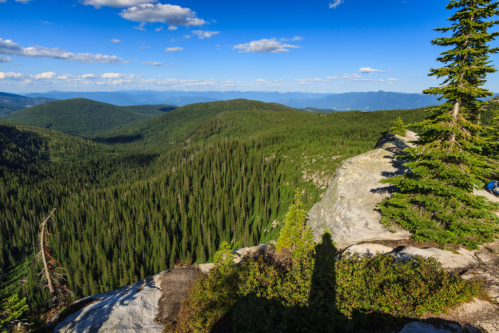
View east down Myrtle Creek from the trail to Myrtle Peak

Elephant Man Doing the Splits
Kootenai Valley sunset
Kootenai River Cottonwood Snag Reflection Near Cascade Creek
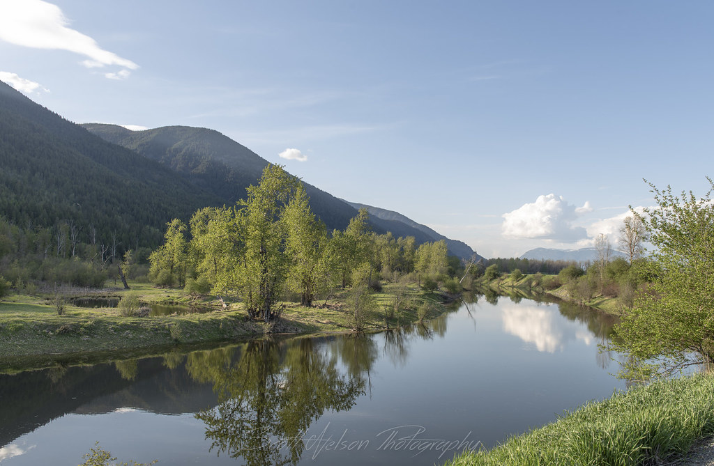
Kootenai River Reflection Near Cascade Creek

Eagle Soaring along Kootneai River
Kootenai River Reflection
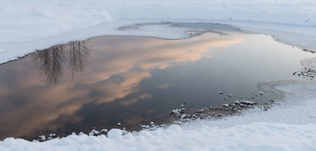
Cloud Reflection
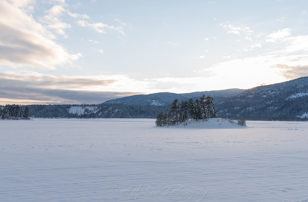
Frozen Islands
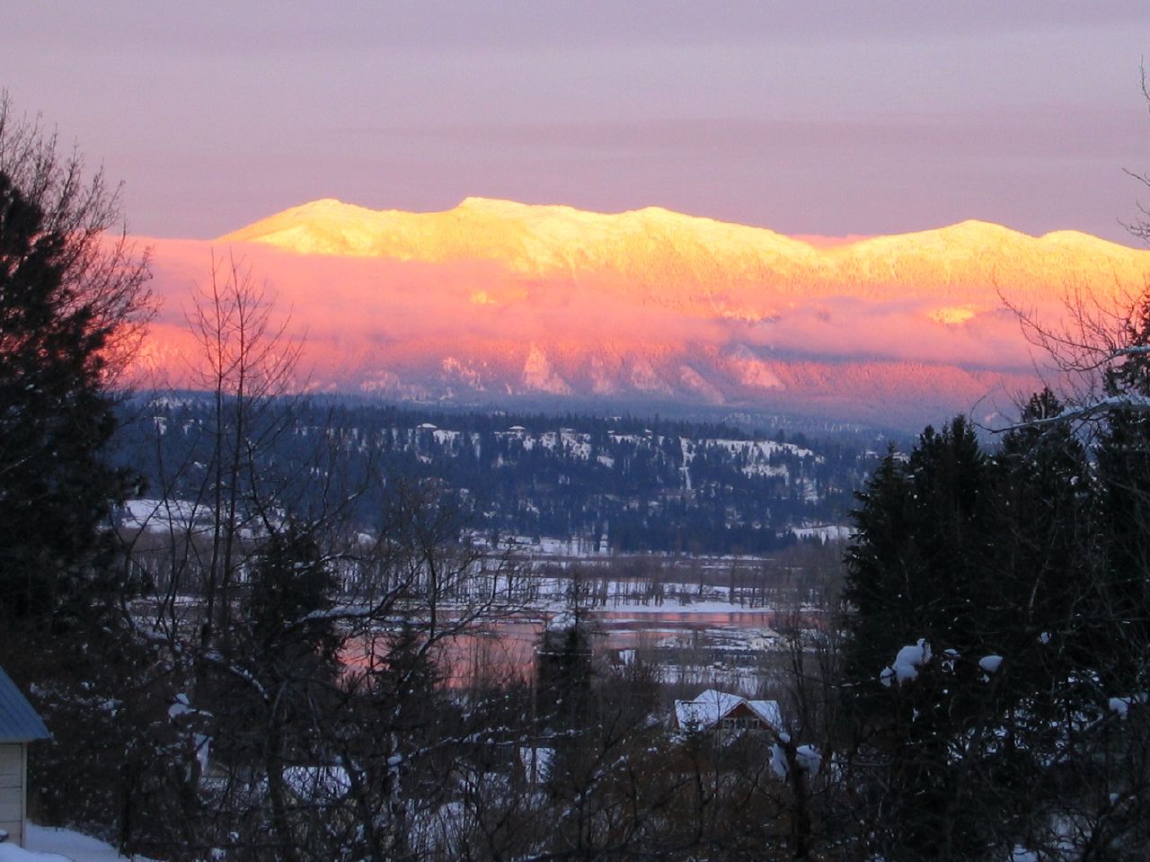
Kootenai Valley Sunsetting over Mountain
IMG_8248.jpg
IMG_8239.jpg
IMG_8230.jpg

Winking Owl In Cottonwood
IMG_8236.jpg
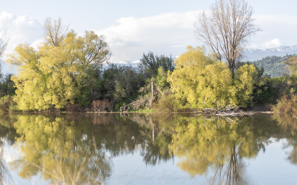
Golden Cottonwood
Highland Flats, irrigation dam development
US-95 North/US-2 East at US-95/US-2 Split
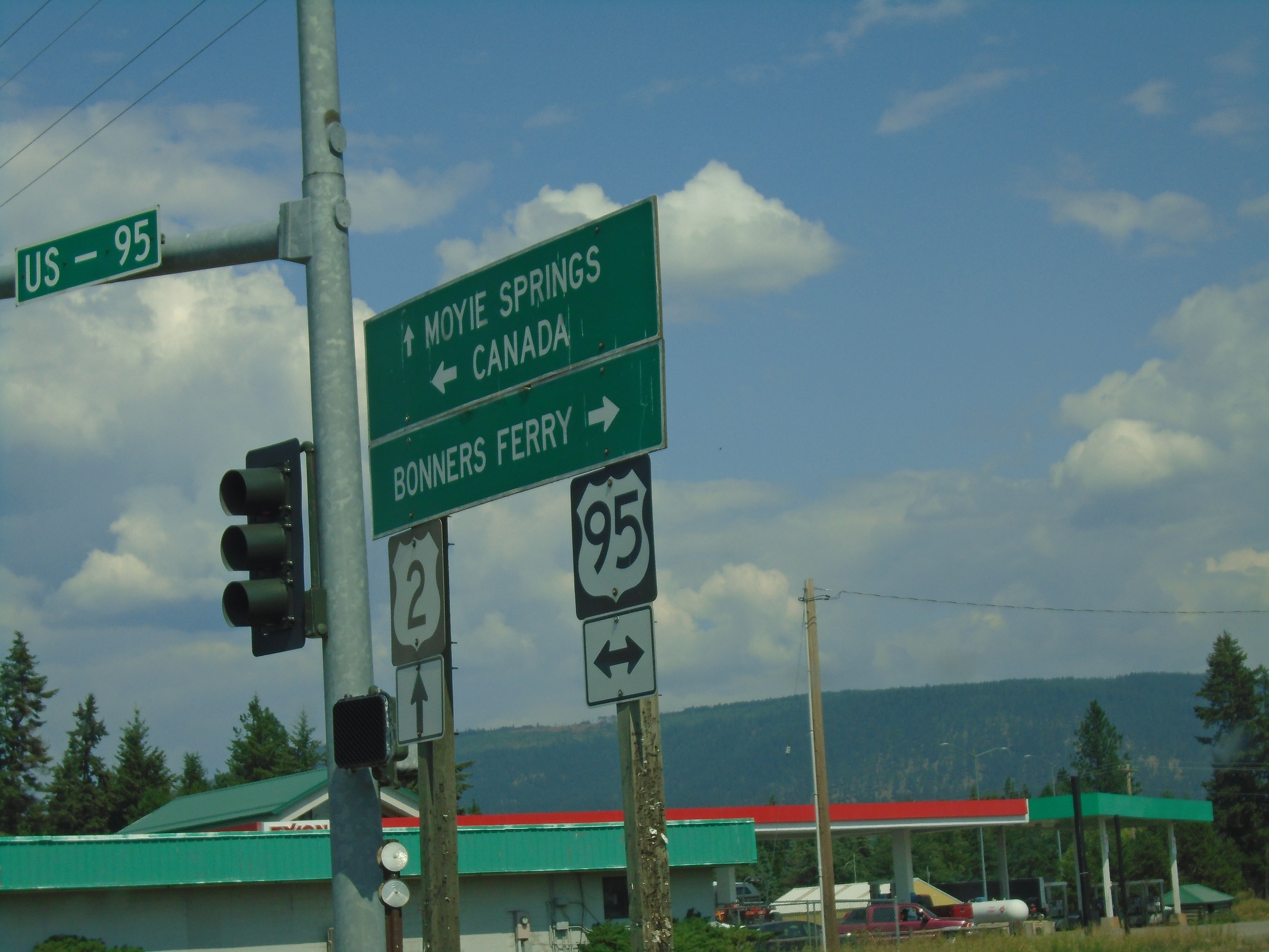
Sand Hill Road East at US-2 and US-95 Junction
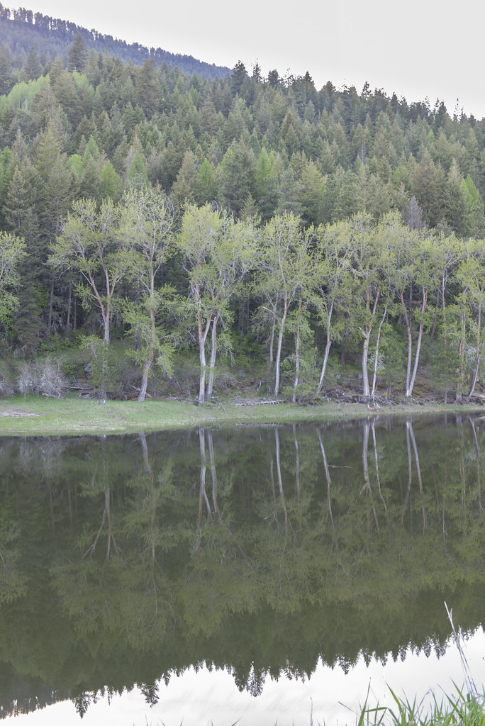
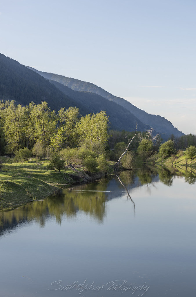
Kootenai River Cottonwood Reflection Near Cascade Creek
West Side Rd, Bonners Ferry, ID 美國Myrtle Falls Trail的地圖
搜索其他地方的日出日落時間
附近地點
District 5 Rd, Bonners Ferry, ID 美國
Success Ln, Naples, ID 美國
Crow Street, Bonners Ferry, ID 美國
Madison St, Bonners Ferry, ID 美國
Madison St, Bonners Ferry, ID 美國Madison Street
Bonners Ferry, ID 美國
Kootenai St, Bonners Ferry, ID 美國Kootenai Street
Pot Hole Rd, Idaho 美國Pot Hole Road
Kootenai Trail Rd, Bonners Ferry, ID 美國
US-95, Bonners Ferry, ID 美國
Fawn Lane, Bonners Ferry, ID 美國Fawn Lane Farms
Tower Rd, Naples, ID 美國
Lone Pony Ln, Bonners Ferry, ID 美國
Bane Ln, Bonners Ferry, ID 美國
Naples, ID 美國
Fall Creek Rd, Naples, ID 美國
Fall Creek Rd, Naples, ID 美國
Fall Creek Rd, Naples, ID 美國
48 Fall Creek Rd, Naples, ID 美國
Templeman Lake Rd, Bonners Ferry, ID 美國
最近搜索
- Red Dog Mine, AK, USA的日出日落時間表
- Am bhf, Borken, 德國Am Bahnhof的日出日落時間表
- 4th St E, Sonoma, CA 美國的日出日落時間表
- Oakland Ave, Williamsport, PA 美國的日出日落時間表
- Via Roma, Pieranica CR, 義大利的日出日落時間表
- 克羅埃西亞杜布羅夫尼克 GradClock Tower of Dubrovnik的日出日落時間表
- 阿根廷丘布特省特雷利烏的日出日落時間表
- Hartfords Bluff Cir, Mt Pleasant, SC 美國的日出日落時間表
- 日本熊本縣熊本市北區的日出日落時間表
- 中國福州市平潭縣平潭島的日出日落時間表