Highvalley Rd, Washington 美國Highvalley Road的日出日落時間表
Location: 美國 > 華盛頓 > 奧卡諾根縣 > 美國華盛頓托納斯基特 >
時區:
America/Los_Angeles
當地時間:
2025-06-23 20:16:21
經度:
-119.1099354
緯度:
48.6887678
今天日出時間:
04:54:43 AM
今天日落時間:
09:03:25 PM
今天日照時長:
16h 8m 42s
明天日出時間:
04:55:07 AM
明天日落時間:
09:03:26 PM
明天日照時長:
16h 8m 19s
顯示所有日期
| 日期 | 日出 | 日落 | 日照時長 |
|---|---|---|---|
| 2025年01月01日 | 07:48:53 AM | 04:12:26 PM | 8h 23m 33s |
| 2025年01月02日 | 07:48:45 AM | 04:13:29 PM | 8h 24m 44s |
| 2025年01月03日 | 07:48:35 AM | 04:14:34 PM | 8h 25m 59s |
| 2025年01月04日 | 07:48:21 AM | 04:15:41 PM | 8h 27m 20s |
| 2025年01月05日 | 07:48:04 AM | 04:16:51 PM | 8h 28m 47s |
| 2025年01月06日 | 07:47:44 AM | 04:18:02 PM | 8h 30m 18s |
| 2025年01月07日 | 07:47:21 AM | 04:19:15 PM | 8h 31m 54s |
| 2025年01月08日 | 07:46:56 AM | 04:20:30 PM | 8h 33m 34s |
| 2025年01月09日 | 07:46:27 AM | 04:21:47 PM | 8h 35m 20s |
| 2025年01月10日 | 07:45:56 AM | 04:23:06 PM | 8h 37m 10s |
| 2025年01月11日 | 07:45:22 AM | 04:24:26 PM | 8h 39m 4s |
| 2025年01月12日 | 07:44:45 AM | 04:25:47 PM | 8h 41m 2s |
| 2025年01月13日 | 07:44:06 AM | 04:27:10 PM | 8h 43m 4s |
| 2025年01月14日 | 07:43:23 AM | 04:28:35 PM | 8h 45m 12s |
| 2025年01月15日 | 07:42:38 AM | 04:30:00 PM | 8h 47m 22s |
| 2025年01月16日 | 07:41:51 AM | 04:31:27 PM | 8h 49m 36s |
| 2025年01月17日 | 07:41:00 AM | 04:32:56 PM | 8h 51m 56s |
| 2025年01月18日 | 07:40:08 AM | 04:34:25 PM | 8h 54m 17s |
| 2025年01月19日 | 07:39:12 AM | 04:35:55 PM | 8h 56m 43s |
| 2025年01月20日 | 07:38:15 AM | 04:37:26 PM | 8h 59m 11s |
| 2025年01月21日 | 07:37:15 AM | 04:38:58 PM | 9h 1m 43s |
| 2025年01月22日 | 07:36:12 AM | 04:40:31 PM | 9h 4m 19s |
| 2025年01月23日 | 07:35:07 AM | 04:42:05 PM | 9h 6m 58s |
| 2025年01月24日 | 07:34:00 AM | 04:43:39 PM | 9h 9m 39s |
| 2025年01月25日 | 07:32:51 AM | 04:45:14 PM | 9h 12m 23s |
| 2025年01月26日 | 07:31:39 AM | 04:46:50 PM | 9h 15m 11s |
| 2025年01月27日 | 07:30:26 AM | 04:48:26 PM | 9h 18m 0s |
| 2025年01月28日 | 07:29:10 AM | 04:50:02 PM | 9h 20m 52s |
| 2025年01月29日 | 07:27:52 AM | 04:51:39 PM | 9h 23m 47s |
| 2025年01月30日 | 07:26:32 AM | 04:53:16 PM | 9h 26m 44s |
| 2025年01月31日 | 07:25:11 AM | 04:54:54 PM | 9h 29m 43s |
| 2025年02月01日 | 07:23:47 AM | 04:56:32 PM | 9h 32m 45s |
| 2025年02月02日 | 07:22:22 AM | 04:58:10 PM | 9h 35m 48s |
| 2025年02月03日 | 07:20:55 AM | 04:59:48 PM | 9h 38m 53s |
| 2025年02月04日 | 07:19:26 AM | 05:01:27 PM | 9h 42m 1s |
| 2025年02月05日 | 07:17:55 AM | 05:03:05 PM | 9h 45m 10s |
| 2025年02月06日 | 07:16:22 AM | 05:04:44 PM | 9h 48m 22s |
| 2025年02月07日 | 07:14:49 AM | 05:06:22 PM | 9h 51m 33s |
| 2025年02月08日 | 07:13:13 AM | 05:08:01 PM | 9h 54m 48s |
| 2025年02月09日 | 07:11:36 AM | 05:09:39 PM | 9h 58m 3s |
| 2025年02月10日 | 07:09:57 AM | 05:11:18 PM | 10h 1m 21s |
| 2025年02月11日 | 07:08:18 AM | 05:12:56 PM | 10h 4m 38s |
| 2025年02月12日 | 07:06:36 AM | 05:14:34 PM | 10h 7m 58s |
| 2025年02月13日 | 07:04:53 AM | 05:16:13 PM | 10h 11m 20s |
| 2025年02月14日 | 07:03:10 AM | 05:17:51 PM | 10h 14m 41s |
| 2025年02月15日 | 07:01:24 AM | 05:19:28 PM | 10h 18m 4s |
| 2025年02月16日 | 06:59:38 AM | 05:21:06 PM | 10h 21m 28s |
| 2025年02月17日 | 06:57:50 AM | 05:22:43 PM | 10h 24m 53s |
| 2025年02月18日 | 06:56:01 AM | 05:24:21 PM | 10h 28m 20s |
| 2025年02月19日 | 06:54:12 AM | 05:25:58 PM | 10h 31m 46s |
| 2025年02月20日 | 06:52:21 AM | 05:27:34 PM | 10h 35m 13s |
| 2025年02月21日 | 06:50:29 AM | 05:29:11 PM | 10h 38m 42s |
| 2025年02月22日 | 06:48:36 AM | 05:30:47 PM | 10h 42m 11s |
| 2025年02月23日 | 06:46:42 AM | 05:32:23 PM | 10h 45m 41s |
| 2025年02月24日 | 06:44:48 AM | 05:33:59 PM | 10h 49m 11s |
| 2025年02月25日 | 06:42:52 AM | 05:35:34 PM | 10h 52m 42s |
| 2025年02月26日 | 06:40:56 AM | 05:37:09 PM | 10h 56m 13s |
| 2025年02月27日 | 06:38:58 AM | 05:38:44 PM | 10h 59m 46s |
| 2025年02月28日 | 06:37:01 AM | 05:40:19 PM | 11h 3m 18s |
| 2025年03月01日 | 06:35:02 AM | 05:41:53 PM | 11h 6m 51s |
| 2025年03月02日 | 06:33:03 AM | 05:43:27 PM | 11h 10m 24s |
| 2025年03月03日 | 06:31:03 AM | 05:45:01 PM | 11h 13m 58s |
| 2025年03月04日 | 06:29:02 AM | 05:46:34 PM | 11h 17m 32s |
| 2025年03月05日 | 06:27:01 AM | 05:48:07 PM | 11h 21m 6s |
| 2025年03月06日 | 06:24:59 AM | 05:49:40 PM | 11h 24m 41s |
| 2025年03月07日 | 06:22:57 AM | 05:51:13 PM | 11h 28m 16s |
| 2025年03月08日 | 06:20:55 AM | 05:52:45 PM | 11h 31m 50s |
| 2025年03月09日 | 07:18:57 AM | 06:54:14 PM | 11h 35m 17s |
| 2025年03月10日 | 07:16:53 AM | 06:55:46 PM | 11h 38m 53s |
| 2025年03月11日 | 07:14:50 AM | 06:57:17 PM | 11h 42m 27s |
| 2025年03月12日 | 07:12:45 AM | 06:58:49 PM | 11h 46m 4s |
| 2025年03月13日 | 07:10:41 AM | 07:00:20 PM | 11h 49m 39s |
| 2025年03月14日 | 07:08:36 AM | 07:01:51 PM | 11h 53m 15s |
| 2025年03月15日 | 07:06:31 AM | 07:03:22 PM | 11h 56m 51s |
| 2025年03月16日 | 07:04:26 AM | 07:04:53 PM | 12h 0m 27s |
| 2025年03月17日 | 07:02:21 AM | 07:06:24 PM | 12h 4m 3s |
| 2025年03月18日 | 07:00:15 AM | 07:07:54 PM | 12h 7m 39s |
| 2025年03月19日 | 06:58:09 AM | 07:09:24 PM | 12h 11m 15s |
| 2025年03月20日 | 06:56:04 AM | 07:10:54 PM | 12h 14m 50s |
| 2025年03月21日 | 06:53:58 AM | 07:12:24 PM | 12h 18m 26s |
| 2025年03月22日 | 06:51:52 AM | 07:13:54 PM | 12h 22m 2s |
| 2025年03月23日 | 06:49:46 AM | 07:15:24 PM | 12h 25m 38s |
| 2025年03月24日 | 06:47:41 AM | 07:16:53 PM | 12h 29m 12s |
| 2025年03月25日 | 06:45:35 AM | 07:18:23 PM | 12h 32m 48s |
| 2025年03月26日 | 06:43:29 AM | 07:19:52 PM | 12h 36m 23s |
| 2025年03月27日 | 06:41:24 AM | 07:21:21 PM | 12h 39m 57s |
| 2025年03月28日 | 06:39:18 AM | 07:22:51 PM | 12h 43m 33s |
| 2025年03月29日 | 06:37:13 AM | 07:24:20 PM | 12h 47m 7s |
| 2025年03月30日 | 06:35:08 AM | 07:25:49 PM | 12h 50m 41s |
| 2025年03月31日 | 06:33:04 AM | 07:27:18 PM | 12h 54m 14s |
| 2025年04月01日 | 06:30:59 AM | 07:28:47 PM | 12h 57m 48s |
| 2025年04月02日 | 06:28:55 AM | 07:30:16 PM | 13h 1m 21s |
| 2025年04月03日 | 06:26:52 AM | 07:31:45 PM | 13h 4m 53s |
| 2025年04月04日 | 06:24:48 AM | 07:33:14 PM | 13h 8m 26s |
| 2025年04月05日 | 06:22:45 AM | 07:34:43 PM | 13h 11m 58s |
| 2025年04月06日 | 06:20:43 AM | 07:36:12 PM | 13h 15m 29s |
| 2025年04月07日 | 06:18:41 AM | 07:37:41 PM | 13h 19m 0s |
| 2025年04月08日 | 06:16:39 AM | 07:39:09 PM | 13h 22m 30s |
| 2025年04月09日 | 06:14:39 AM | 07:40:38 PM | 13h 25m 59s |
| 2025年04月10日 | 06:12:38 AM | 07:42:07 PM | 13h 29m 29s |
| 2025年04月11日 | 06:10:38 AM | 07:43:36 PM | 13h 32m 58s |
| 2025年04月12日 | 06:08:39 AM | 07:45:05 PM | 13h 36m 26s |
| 2025年04月13日 | 06:06:41 AM | 07:46:34 PM | 13h 39m 53s |
| 2025年04月14日 | 06:04:43 AM | 07:48:02 PM | 13h 43m 19s |
| 2025年04月15日 | 06:02:46 AM | 07:49:31 PM | 13h 46m 45s |
| 2025年04月16日 | 06:00:50 AM | 07:51:00 PM | 13h 50m 10s |
| 2025年04月17日 | 05:58:55 AM | 07:52:29 PM | 13h 53m 34s |
| 2025年04月18日 | 05:57:00 AM | 07:53:57 PM | 13h 56m 57s |
| 2025年04月19日 | 05:55:06 AM | 07:55:26 PM | 14h 0m 20s |
| 2025年04月20日 | 05:53:14 AM | 07:56:54 PM | 14h 3m 40s |
| 2025年04月21日 | 05:51:22 AM | 07:58:23 PM | 14h 7m 1s |
| 2025年04月22日 | 05:49:31 AM | 07:59:51 PM | 14h 10m 20s |
| 2025年04月23日 | 05:47:42 AM | 08:01:20 PM | 14h 13m 38s |
| 2025年04月24日 | 05:45:53 AM | 08:02:48 PM | 14h 16m 55s |
| 2025年04月25日 | 05:44:05 AM | 08:04:16 PM | 14h 20m 11s |
| 2025年04月26日 | 05:42:19 AM | 08:05:44 PM | 14h 23m 25s |
| 2025年04月27日 | 05:40:34 AM | 08:07:11 PM | 14h 26m 37s |
| 2025年04月28日 | 05:38:50 AM | 08:08:39 PM | 14h 29m 49s |
| 2025年04月29日 | 05:37:07 AM | 08:10:06 PM | 14h 32m 59s |
| 2025年04月30日 | 05:35:26 AM | 08:11:33 PM | 14h 36m 7s |
| 2025年05月01日 | 05:33:46 AM | 08:13:00 PM | 14h 39m 14s |
| 2025年05月02日 | 05:32:08 AM | 08:14:26 PM | 14h 42m 18s |
| 2025年05月03日 | 05:30:30 AM | 08:15:52 PM | 14h 45m 22s |
| 2025年05月04日 | 05:28:55 AM | 08:17:18 PM | 14h 48m 23s |
| 2025年05月05日 | 05:27:21 AM | 08:18:44 PM | 14h 51m 23s |
| 2025年05月06日 | 05:25:48 AM | 08:20:08 PM | 14h 54m 20s |
| 2025年05月07日 | 05:24:17 AM | 08:21:33 PM | 14h 57m 16s |
| 2025年05月08日 | 05:22:48 AM | 08:22:57 PM | 15h 0m 9s |
| 2025年05月09日 | 05:21:20 AM | 08:24:20 PM | 15h 3m 0s |
| 2025年05月10日 | 05:19:54 AM | 08:25:43 PM | 15h 5m 49s |
| 2025年05月11日 | 05:18:30 AM | 08:27:05 PM | 15h 8m 35s |
| 2025年05月12日 | 05:17:08 AM | 08:28:27 PM | 15h 11m 19s |
| 2025年05月13日 | 05:15:47 AM | 08:29:48 PM | 15h 14m 1s |
| 2025年05月14日 | 05:14:29 AM | 08:31:08 PM | 15h 16m 39s |
| 2025年05月15日 | 05:13:12 AM | 08:32:27 PM | 15h 19m 15s |
| 2025年05月16日 | 05:11:58 AM | 08:33:45 PM | 15h 21m 47s |
| 2025年05月17日 | 05:10:45 AM | 08:35:02 PM | 15h 24m 17s |
| 2025年05月18日 | 05:09:35 AM | 08:36:19 PM | 15h 26m 44s |
| 2025年05月19日 | 05:08:26 AM | 08:37:34 PM | 15h 29m 8s |
| 2025年05月20日 | 05:07:20 AM | 08:38:49 PM | 15h 31m 29s |
| 2025年05月21日 | 05:06:16 AM | 08:40:02 PM | 15h 33m 46s |
| 2025年05月22日 | 05:05:14 AM | 08:41:14 PM | 15h 36m 0s |
| 2025年05月23日 | 05:04:15 AM | 08:42:24 PM | 15h 38m 9s |
| 2025年05月24日 | 05:03:17 AM | 08:43:34 PM | 15h 40m 17s |
| 2025年05月25日 | 05:02:23 AM | 08:44:42 PM | 15h 42m 19s |
| 2025年05月26日 | 05:01:30 AM | 08:45:48 PM | 15h 44m 18s |
| 2025年05月27日 | 05:00:40 AM | 08:46:54 PM | 15h 46m 14s |
| 2025年05月28日 | 04:59:52 AM | 08:47:57 PM | 15h 48m 5s |
| 2025年05月29日 | 04:59:07 AM | 08:48:59 PM | 15h 49m 52s |
| 2025年05月30日 | 04:58:25 AM | 08:49:59 PM | 15h 51m 34s |
| 2025年05月31日 | 04:57:45 AM | 08:50:58 PM | 15h 53m 13s |
| 2025年06月01日 | 04:57:07 AM | 08:51:55 PM | 15h 54m 48s |
| 2025年06月02日 | 04:56:32 AM | 08:52:49 PM | 15h 56m 17s |
| 2025年06月03日 | 04:56:00 AM | 08:53:42 PM | 15h 57m 42s |
| 2025年06月04日 | 04:55:30 AM | 08:54:33 PM | 15h 59m 3s |
| 2025年06月05日 | 04:55:03 AM | 08:55:22 PM | 16h 0m 19s |
| 2025年06月06日 | 04:54:38 AM | 08:56:09 PM | 16h 1m 31s |
| 2025年06月07日 | 04:54:17 AM | 08:56:54 PM | 16h 2m 37s |
| 2025年06月08日 | 04:53:58 AM | 08:57:37 PM | 16h 3m 39s |
| 2025年06月09日 | 04:53:41 AM | 08:58:17 PM | 16h 4m 36s |
| 2025年06月10日 | 04:53:28 AM | 08:58:55 PM | 16h 5m 27s |
| 2025年06月11日 | 04:53:17 AM | 08:59:31 PM | 16h 6m 14s |
| 2025年06月12日 | 04:53:09 AM | 09:00:04 PM | 16h 6m 55s |
| 2025年06月13日 | 04:53:03 AM | 09:00:35 PM | 16h 7m 32s |
| 2025年06月14日 | 04:53:00 AM | 09:01:04 PM | 16h 8m 4s |
| 2025年06月15日 | 04:53:00 AM | 09:01:30 PM | 16h 8m 30s |
| 2025年06月16日 | 04:53:03 AM | 09:01:53 PM | 16h 8m 50s |
| 2025年06月17日 | 04:53:08 AM | 09:02:14 PM | 16h 9m 6s |
| 2025年06月18日 | 04:53:16 AM | 09:02:32 PM | 16h 9m 16s |
| 2025年06月19日 | 04:53:26 AM | 09:02:48 PM | 16h 9m 22s |
| 2025年06月20日 | 04:53:39 AM | 09:03:01 PM | 16h 9m 22s |
| 2025年06月21日 | 04:53:55 AM | 09:03:11 PM | 16h 9m 16s |
| 2025年06月22日 | 04:54:13 AM | 09:03:19 PM | 16h 9m 6s |
| 2025年06月23日 | 04:54:34 AM | 09:03:24 PM | 16h 8m 50s |
| 2025年06月24日 | 04:54:58 AM | 09:03:26 PM | 16h 8m 28s |
| 2025年06月25日 | 04:55:23 AM | 09:03:25 PM | 16h 8m 2s |
| 2025年06月26日 | 04:55:51 AM | 09:03:22 PM | 16h 7m 31s |
| 2025年06月27日 | 04:56:22 AM | 09:03:16 PM | 16h 6m 54s |
| 2025年06月28日 | 04:56:55 AM | 09:03:07 PM | 16h 6m 12s |
| 2025年06月29日 | 04:57:30 AM | 09:02:56 PM | 16h 5m 26s |
| 2025年06月30日 | 04:58:08 AM | 09:02:42 PM | 16h 4m 34s |
| 2025年07月01日 | 04:58:47 AM | 09:02:24 PM | 16h 3m 37s |
| 2025年07月02日 | 04:59:29 AM | 09:02:05 PM | 16h 2m 36s |
| 2025年07月03日 | 05:00:13 AM | 09:01:42 PM | 16h 1m 29s |
| 2025年07月04日 | 05:00:59 AM | 09:01:17 PM | 16h 0m 18s |
| 2025年07月05日 | 05:01:47 AM | 09:00:49 PM | 15h 59m 2s |
| 2025年07月06日 | 05:02:37 AM | 09:00:18 PM | 15h 57m 41s |
| 2025年07月07日 | 05:03:28 AM | 08:59:45 PM | 15h 56m 17s |
| 2025年07月08日 | 05:04:22 AM | 08:59:09 PM | 15h 54m 47s |
| 2025年07月09日 | 05:05:17 AM | 08:58:31 PM | 15h 53m 14s |
| 2025年07月10日 | 05:06:14 AM | 08:57:50 PM | 15h 51m 36s |
| 2025年07月11日 | 05:07:13 AM | 08:57:06 PM | 15h 49m 53s |
| 2025年07月12日 | 05:08:13 AM | 08:56:20 PM | 15h 48m 7s |
| 2025年07月13日 | 05:09:15 AM | 08:55:31 PM | 15h 46m 16s |
| 2025年07月14日 | 05:10:18 AM | 08:54:40 PM | 15h 44m 22s |
| 2025年07月15日 | 05:11:23 AM | 08:53:47 PM | 15h 42m 24s |
| 2025年07月16日 | 05:12:29 AM | 08:52:51 PM | 15h 40m 22s |
| 2025年07月17日 | 05:13:36 AM | 08:51:52 PM | 15h 38m 16s |
| 2025年07月18日 | 05:14:44 AM | 08:50:52 PM | 15h 36m 8s |
| 2025年07月19日 | 05:15:54 AM | 08:49:49 PM | 15h 33m 55s |
| 2025年07月20日 | 05:17:05 AM | 08:48:44 PM | 15h 31m 39s |
| 2025年07月21日 | 05:18:17 AM | 08:47:36 PM | 15h 29m 19s |
| 2025年07月22日 | 05:19:29 AM | 08:46:27 PM | 15h 26m 58s |
| 2025年07月23日 | 05:20:43 AM | 08:45:15 PM | 15h 24m 32s |
| 2025年07月24日 | 05:21:58 AM | 08:44:01 PM | 15h 22m 3s |
| 2025年07月25日 | 05:23:13 AM | 08:42:46 PM | 15h 19m 33s |
| 2025年07月26日 | 05:24:30 AM | 08:41:28 PM | 15h 16m 58s |
| 2025年07月27日 | 05:25:47 AM | 08:40:08 PM | 15h 14m 21s |
| 2025年07月28日 | 05:27:05 AM | 08:38:46 PM | 15h 11m 41s |
| 2025年07月29日 | 05:28:23 AM | 08:37:23 PM | 15h 9m 0s |
| 2025年07月30日 | 05:29:42 AM | 08:35:58 PM | 15h 6m 16s |
| 2025年07月31日 | 05:31:02 AM | 08:34:31 PM | 15h 3m 29s |
| 2025年08月01日 | 05:32:22 AM | 08:33:02 PM | 15h 0m 40s |
| 2025年08月02日 | 05:33:42 AM | 08:31:31 PM | 14h 57m 49s |
| 2025年08月03日 | 05:35:03 AM | 08:29:59 PM | 14h 54m 56s |
| 2025年08月04日 | 05:36:25 AM | 08:28:25 PM | 14h 52m 0s |
| 2025年08月05日 | 05:37:47 AM | 08:26:50 PM | 14h 49m 3s |
| 2025年08月06日 | 05:39:09 AM | 08:25:13 PM | 14h 46m 4s |
| 2025年08月07日 | 05:40:31 AM | 08:23:35 PM | 14h 43m 4s |
| 2025年08月08日 | 05:41:54 AM | 08:21:55 PM | 14h 40m 1s |
| 2025年08月09日 | 05:43:17 AM | 08:20:14 PM | 14h 36m 57s |
| 2025年08月10日 | 05:44:40 AM | 08:18:31 PM | 14h 33m 51s |
| 2025年08月11日 | 05:46:03 AM | 08:16:47 PM | 14h 30m 44s |
| 2025年08月12日 | 05:47:27 AM | 08:15:02 PM | 14h 27m 35s |
| 2025年08月13日 | 05:48:51 AM | 08:13:16 PM | 14h 24m 25s |
| 2025年08月14日 | 05:50:14 AM | 08:11:28 PM | 14h 21m 14s |
| 2025年08月15日 | 05:51:38 AM | 08:09:40 PM | 14h 18m 2s |
| 2025年08月16日 | 05:53:02 AM | 08:07:50 PM | 14h 14m 48s |
| 2025年08月17日 | 05:54:27 AM | 08:05:59 PM | 14h 11m 32s |
| 2025年08月18日 | 05:55:51 AM | 08:04:07 PM | 14h 8m 16s |
| 2025年08月19日 | 05:57:15 AM | 08:02:14 PM | 14h 4m 59s |
| 2025年08月20日 | 05:58:39 AM | 08:00:20 PM | 14h 1m 41s |
| 2025年08月21日 | 06:00:03 AM | 07:58:25 PM | 13h 58m 22s |
| 2025年08月22日 | 06:01:28 AM | 07:56:29 PM | 13h 55m 1s |
| 2025年08月23日 | 06:02:52 AM | 07:54:32 PM | 13h 51m 40s |
| 2025年08月24日 | 06:04:16 AM | 07:52:35 PM | 13h 48m 19s |
| 2025年08月25日 | 06:05:41 AM | 07:50:37 PM | 13h 44m 56s |
| 2025年08月26日 | 06:07:05 AM | 07:48:38 PM | 13h 41m 33s |
| 2025年08月27日 | 06:08:29 AM | 07:46:38 PM | 13h 38m 9s |
| 2025年08月28日 | 06:09:53 AM | 07:44:38 PM | 13h 34m 45s |
| 2025年08月29日 | 06:11:17 AM | 07:42:36 PM | 13h 31m 19s |
| 2025年08月30日 | 06:12:42 AM | 07:40:35 PM | 13h 27m 53s |
| 2025年08月31日 | 06:14:06 AM | 07:38:32 PM | 13h 24m 26s |
| 2025年09月01日 | 06:15:30 AM | 07:36:30 PM | 13h 21m 0s |
| 2025年09月02日 | 06:16:54 AM | 07:34:26 PM | 13h 17m 32s |
| 2025年09月03日 | 06:18:18 AM | 07:32:22 PM | 13h 14m 4s |
| 2025年09月04日 | 06:19:42 AM | 07:30:18 PM | 13h 10m 36s |
| 2025年09月05日 | 06:21:06 AM | 07:28:13 PM | 13h 7m 7s |
| 2025年09月06日 | 06:22:31 AM | 07:26:08 PM | 13h 3m 37s |
| 2025年09月07日 | 06:23:55 AM | 07:24:03 PM | 13h 0m 8s |
| 2025年09月08日 | 06:25:19 AM | 07:21:57 PM | 12h 56m 38s |
| 2025年09月09日 | 06:26:43 AM | 07:19:51 PM | 12h 53m 8s |
| 2025年09月10日 | 06:28:07 AM | 07:17:44 PM | 12h 49m 37s |
| 2025年09月11日 | 06:29:31 AM | 07:15:38 PM | 12h 46m 7s |
| 2025年09月12日 | 06:30:55 AM | 07:13:31 PM | 12h 42m 36s |
| 2025年09月13日 | 06:32:20 AM | 07:11:24 PM | 12h 39m 4s |
| 2025年09月14日 | 06:33:44 AM | 07:09:16 PM | 12h 35m 32s |
| 2025年09月15日 | 06:35:09 AM | 07:07:09 PM | 12h 32m 0s |
| 2025年09月16日 | 06:36:33 AM | 07:05:02 PM | 12h 28m 29s |
| 2025年09月17日 | 06:37:58 AM | 07:02:54 PM | 12h 24m 56s |
| 2025年09月18日 | 06:39:22 AM | 07:00:47 PM | 12h 21m 25s |
| 2025年09月19日 | 06:40:47 AM | 06:58:39 PM | 12h 17m 52s |
| 2025年09月20日 | 06:42:12 AM | 06:56:32 PM | 12h 14m 20s |
| 2025年09月21日 | 06:43:37 AM | 06:54:24 PM | 12h 10m 47s |
| 2025年09月22日 | 06:45:02 AM | 06:52:17 PM | 12h 7m 15s |
| 2025年09月23日 | 06:46:28 AM | 06:50:10 PM | 12h 3m 42s |
| 2025年09月24日 | 06:47:53 AM | 06:48:03 PM | 12h 0m 10s |
| 2025年09月25日 | 06:49:19 AM | 06:45:56 PM | 11h 56m 37s |
| 2025年09月26日 | 06:50:45 AM | 06:43:49 PM | 11h 53m 4s |
| 2025年09月27日 | 06:52:11 AM | 06:41:43 PM | 11h 49m 32s |
| 2025年09月28日 | 06:53:37 AM | 06:39:37 PM | 11h 46m 0s |
| 2025年09月29日 | 06:55:04 AM | 06:37:31 PM | 11h 42m 27s |
| 2025年09月30日 | 06:56:31 AM | 06:35:25 PM | 11h 38m 54s |
| 2025年10月01日 | 06:57:58 AM | 06:33:20 PM | 11h 35m 22s |
| 2025年10月02日 | 06:59:25 AM | 06:31:15 PM | 11h 31m 50s |
| 2025年10月03日 | 07:00:52 AM | 06:29:11 PM | 11h 28m 19s |
| 2025年10月04日 | 07:02:20 AM | 06:27:07 PM | 11h 24m 47s |
| 2025年10月05日 | 07:03:48 AM | 06:25:04 PM | 11h 21m 16s |
| 2025年10月06日 | 07:05:17 AM | 06:23:01 PM | 11h 17m 44s |
| 2025年10月07日 | 07:06:45 AM | 06:20:59 PM | 11h 14m 14s |
| 2025年10月08日 | 07:08:14 AM | 06:18:57 PM | 11h 10m 43s |
| 2025年10月09日 | 07:09:43 AM | 06:16:56 PM | 11h 7m 13s |
| 2025年10月10日 | 07:11:13 AM | 06:14:55 PM | 11h 3m 42s |
| 2025年10月11日 | 07:12:42 AM | 06:12:56 PM | 11h 0m 14s |
| 2025年10月12日 | 07:14:12 AM | 06:10:57 PM | 10h 56m 45s |
| 2025年10月13日 | 07:15:43 AM | 06:08:59 PM | 10h 53m 16s |
| 2025年10月14日 | 07:17:13 AM | 06:07:01 PM | 10h 49m 48s |
| 2025年10月15日 | 07:18:44 AM | 06:05:05 PM | 10h 46m 21s |
| 2025年10月16日 | 07:20:16 AM | 06:03:09 PM | 10h 42m 53s |
| 2025年10月17日 | 07:21:47 AM | 06:01:14 PM | 10h 39m 27s |
| 2025年10月18日 | 07:23:19 AM | 05:59:20 PM | 10h 36m 1s |
| 2025年10月19日 | 07:24:51 AM | 05:57:27 PM | 10h 32m 36s |
| 2025年10月20日 | 07:26:24 AM | 05:55:36 PM | 10h 29m 12s |
| 2025年10月21日 | 07:27:56 AM | 05:53:45 PM | 10h 25m 49s |
| 2025年10月22日 | 07:29:29 AM | 05:51:55 PM | 10h 22m 26s |
| 2025年10月23日 | 07:31:02 AM | 05:50:07 PM | 10h 19m 5s |
| 2025年10月24日 | 07:32:36 AM | 05:48:20 PM | 10h 15m 44s |
| 2025年10月25日 | 07:34:10 AM | 05:46:33 PM | 10h 12m 23s |
| 2025年10月26日 | 07:35:43 AM | 05:44:49 PM | 10h 9m 6s |
| 2025年10月27日 | 07:37:17 AM | 05:43:05 PM | 10h 5m 48s |
| 2025年10月28日 | 07:38:52 AM | 05:41:23 PM | 10h 2m 31s |
| 2025年10月29日 | 07:40:26 AM | 05:39:42 PM | 9h 59m 16s |
| 2025年10月30日 | 07:42:01 AM | 05:38:03 PM | 9h 56m 2s |
| 2025年10月31日 | 07:43:35 AM | 05:36:25 PM | 9h 52m 50s |
| 2025年11月01日 | 07:45:10 AM | 05:34:49 PM | 9h 49m 39s |
| 2025年11月02日 | 06:46:48 AM | 04:33:10 PM | 9h 46m 22s |
| 2025年11月03日 | 06:48:23 AM | 04:31:37 PM | 9h 43m 14s |
| 2025年11月04日 | 06:49:58 AM | 04:30:06 PM | 9h 40m 8s |
| 2025年11月05日 | 06:51:32 AM | 04:28:37 PM | 9h 37m 5s |
| 2025年11月06日 | 06:53:07 AM | 04:27:09 PM | 9h 34m 2s |
| 2025年11月07日 | 06:54:41 AM | 04:25:43 PM | 9h 31m 2s |
| 2025年11月08日 | 06:56:16 AM | 04:24:19 PM | 9h 28m 3s |
| 2025年11月09日 | 06:57:50 AM | 04:22:56 PM | 9h 25m 6s |
| 2025年11月10日 | 06:59:23 AM | 04:21:36 PM | 9h 22m 13s |
| 2025年11月11日 | 07:00:57 AM | 04:20:18 PM | 9h 19m 21s |
| 2025年11月12日 | 07:02:30 AM | 04:19:02 PM | 9h 16m 32s |
| 2025年11月13日 | 07:04:03 AM | 04:17:48 PM | 9h 13m 45s |
| 2025年11月14日 | 07:05:35 AM | 04:16:36 PM | 9h 11m 1s |
| 2025年11月15日 | 07:07:07 AM | 04:15:26 PM | 9h 8m 19s |
| 2025年11月16日 | 07:08:38 AM | 04:14:19 PM | 9h 5m 41s |
| 2025年11月17日 | 07:10:08 AM | 04:13:13 PM | 9h 3m 5s |
| 2025年11月18日 | 07:11:38 AM | 04:12:11 PM | 9h 0m 33s |
| 2025年11月19日 | 07:13:07 AM | 04:11:10 PM | 8h 58m 3s |
| 2025年11月20日 | 07:14:35 AM | 04:10:12 PM | 8h 55m 37s |
| 2025年11月21日 | 07:16:03 AM | 04:09:17 PM | 8h 53m 14s |
| 2025年11月22日 | 07:17:29 AM | 04:08:24 PM | 8h 50m 55s |
| 2025年11月23日 | 07:18:54 AM | 04:07:33 PM | 8h 48m 39s |
| 2025年11月24日 | 07:20:19 AM | 04:06:45 PM | 8h 46m 26s |
| 2025年11月25日 | 07:21:42 AM | 04:06:00 PM | 8h 44m 18s |
| 2025年11月26日 | 07:23:03 AM | 04:05:18 PM | 8h 42m 15s |
| 2025年11月27日 | 07:24:24 AM | 04:04:38 PM | 8h 40m 14s |
| 2025年11月28日 | 07:25:43 AM | 04:04:01 PM | 8h 38m 18s |
| 2025年11月29日 | 07:27:01 AM | 04:03:27 PM | 8h 36m 26s |
| 2025年11月30日 | 07:28:17 AM | 04:02:56 PM | 8h 34m 39s |
| 2025年12月01日 | 07:29:31 AM | 04:02:27 PM | 8h 32m 56s |
| 2025年12月02日 | 07:30:44 AM | 04:02:02 PM | 8h 31m 18s |
| 2025年12月03日 | 07:31:55 AM | 04:01:39 PM | 8h 29m 44s |
| 2025年12月04日 | 07:33:05 AM | 04:01:19 PM | 8h 28m 14s |
| 2025年12月05日 | 07:34:12 AM | 04:01:03 PM | 8h 26m 51s |
| 2025年12月06日 | 07:35:17 AM | 04:00:49 PM | 8h 25m 32s |
| 2025年12月07日 | 07:36:21 AM | 04:00:38 PM | 8h 24m 17s |
| 2025年12月08日 | 07:37:22 AM | 04:00:31 PM | 8h 23m 9s |
| 2025年12月09日 | 07:38:21 AM | 04:00:26 PM | 8h 22m 5s |
| 2025年12月10日 | 07:39:18 AM | 04:00:25 PM | 8h 21m 7s |
| 2025年12月11日 | 07:40:12 AM | 04:00:26 PM | 8h 20m 14s |
| 2025年12月12日 | 07:41:04 AM | 04:00:31 PM | 8h 19m 27s |
| 2025年12月13日 | 07:41:54 AM | 04:00:38 PM | 8h 18m 44s |
| 2025年12月14日 | 07:42:41 AM | 04:00:49 PM | 8h 18m 8s |
| 2025年12月15日 | 07:43:26 AM | 04:01:02 PM | 8h 17m 36s |
| 2025年12月16日 | 07:44:08 AM | 04:01:19 PM | 8h 17m 11s |
| 2025年12月17日 | 07:44:47 AM | 04:01:39 PM | 8h 16m 52s |
| 2025年12月18日 | 07:45:24 AM | 04:02:01 PM | 8h 16m 37s |
| 2025年12月19日 | 07:45:58 AM | 04:02:27 PM | 8h 16m 29s |
| 2025年12月20日 | 07:46:29 AM | 04:02:55 PM | 8h 16m 26s |
| 2025年12月21日 | 07:46:57 AM | 04:03:27 PM | 8h 16m 30s |
| 2025年12月22日 | 07:47:22 AM | 04:04:01 PM | 8h 16m 39s |
| 2025年12月23日 | 07:47:45 AM | 04:04:38 PM | 8h 16m 53s |
| 2025年12月24日 | 07:48:05 AM | 04:05:18 PM | 8h 17m 13s |
| 2025年12月25日 | 07:48:21 AM | 04:06:01 PM | 8h 17m 40s |
| 2025年12月26日 | 07:48:35 AM | 04:06:46 PM | 8h 18m 11s |
| 2025年12月27日 | 07:48:46 AM | 04:07:34 PM | 8h 18m 48s |
| 2025年12月28日 | 07:48:54 AM | 04:08:24 PM | 8h 19m 30s |
| 2025年12月29日 | 07:48:58 AM | 04:09:17 PM | 8h 20m 19s |
| 2025年12月30日 | 07:49:00 AM | 04:10:13 PM | 8h 21m 13s |
| 2025年12月31日 | 07:48:59 AM | 04:11:11 PM | 8h 22m 12s |
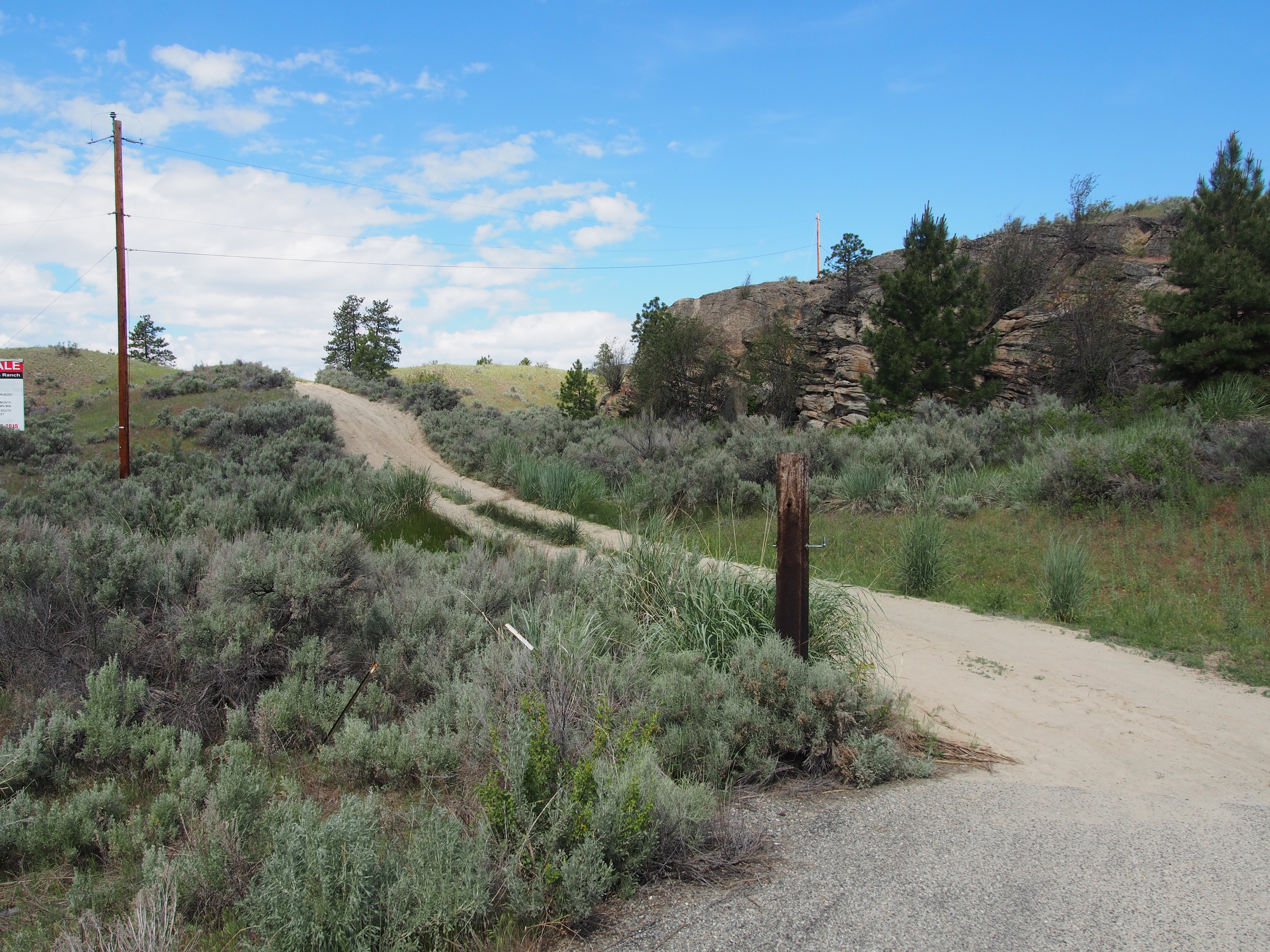
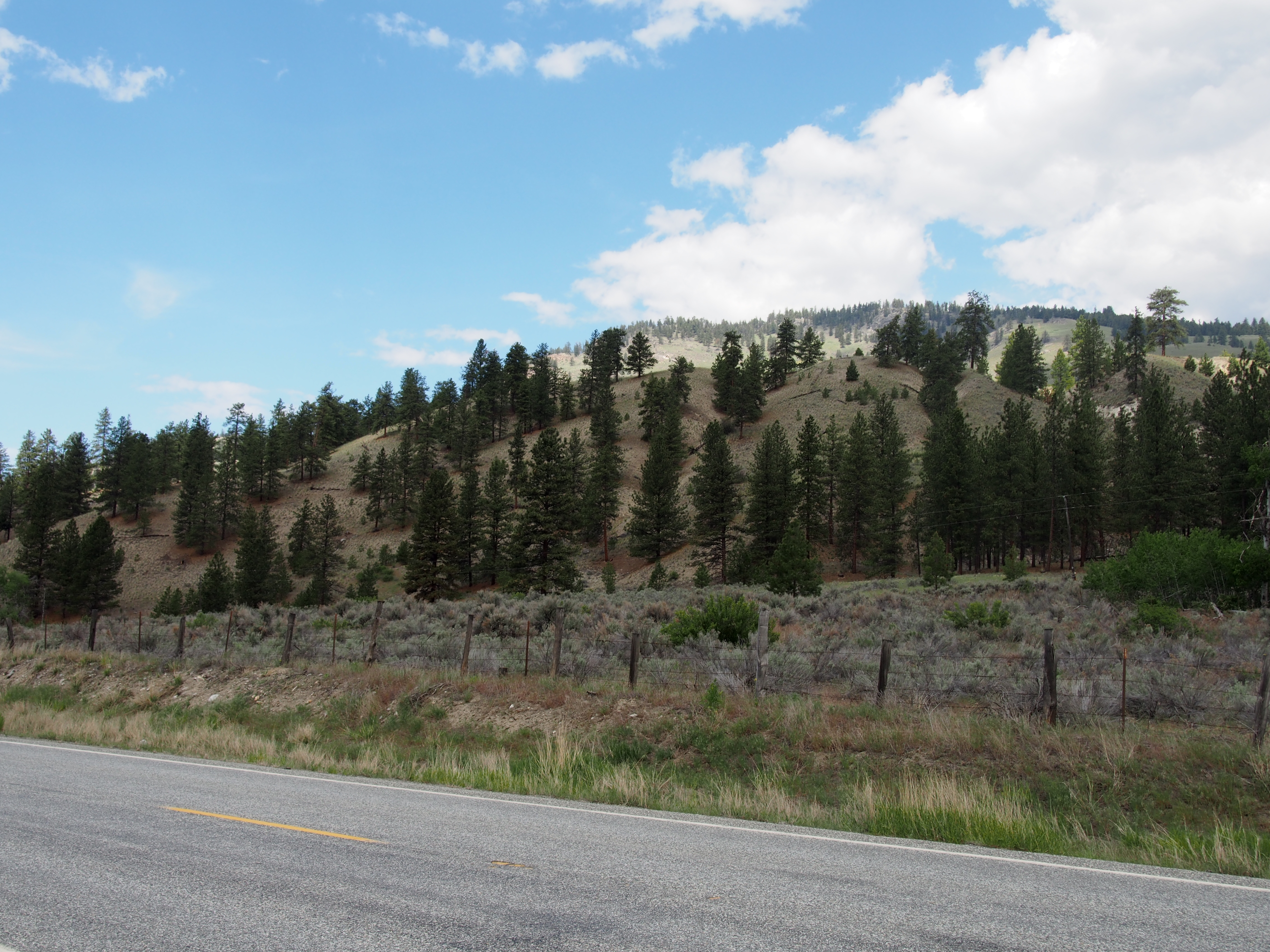
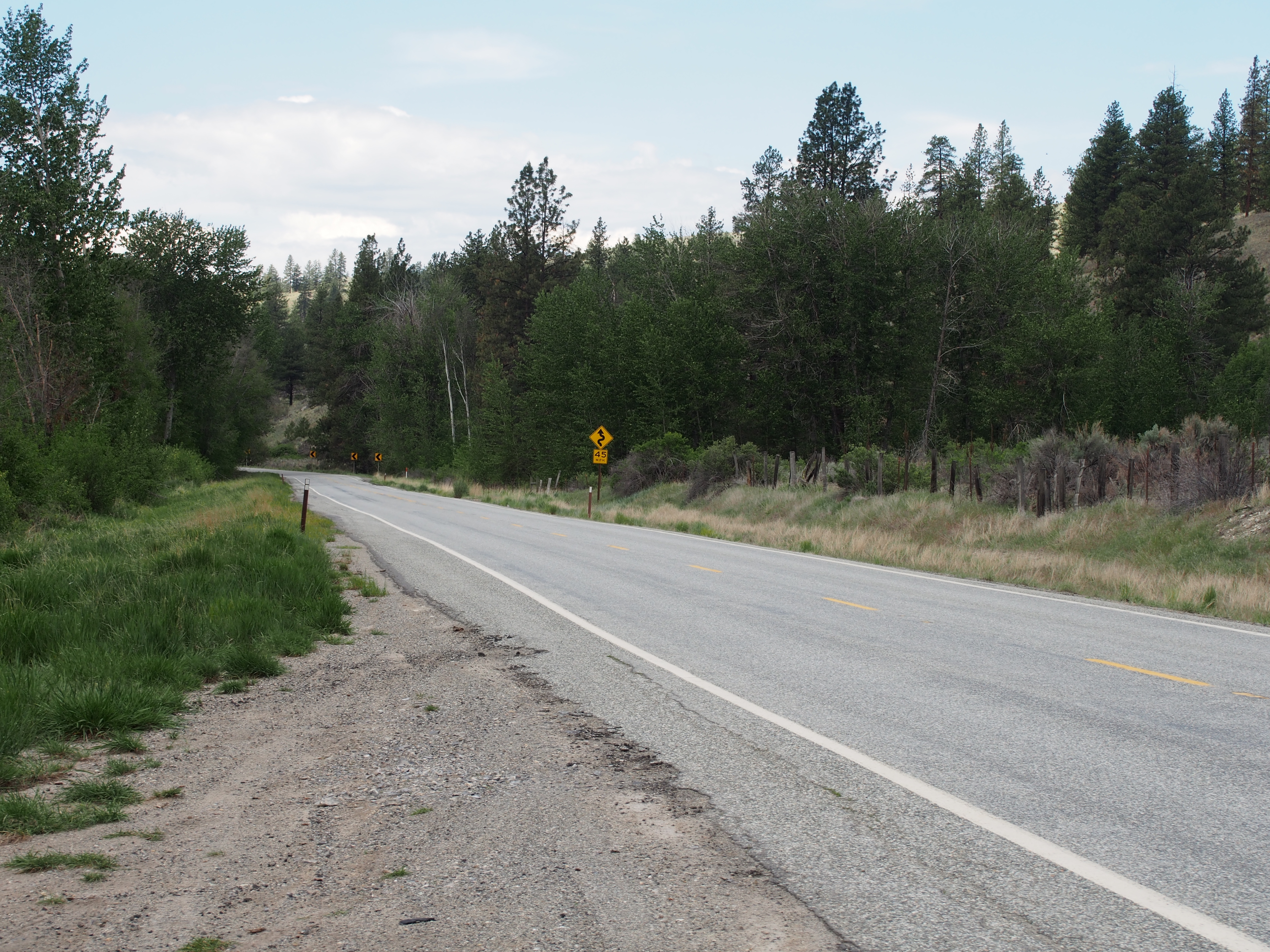
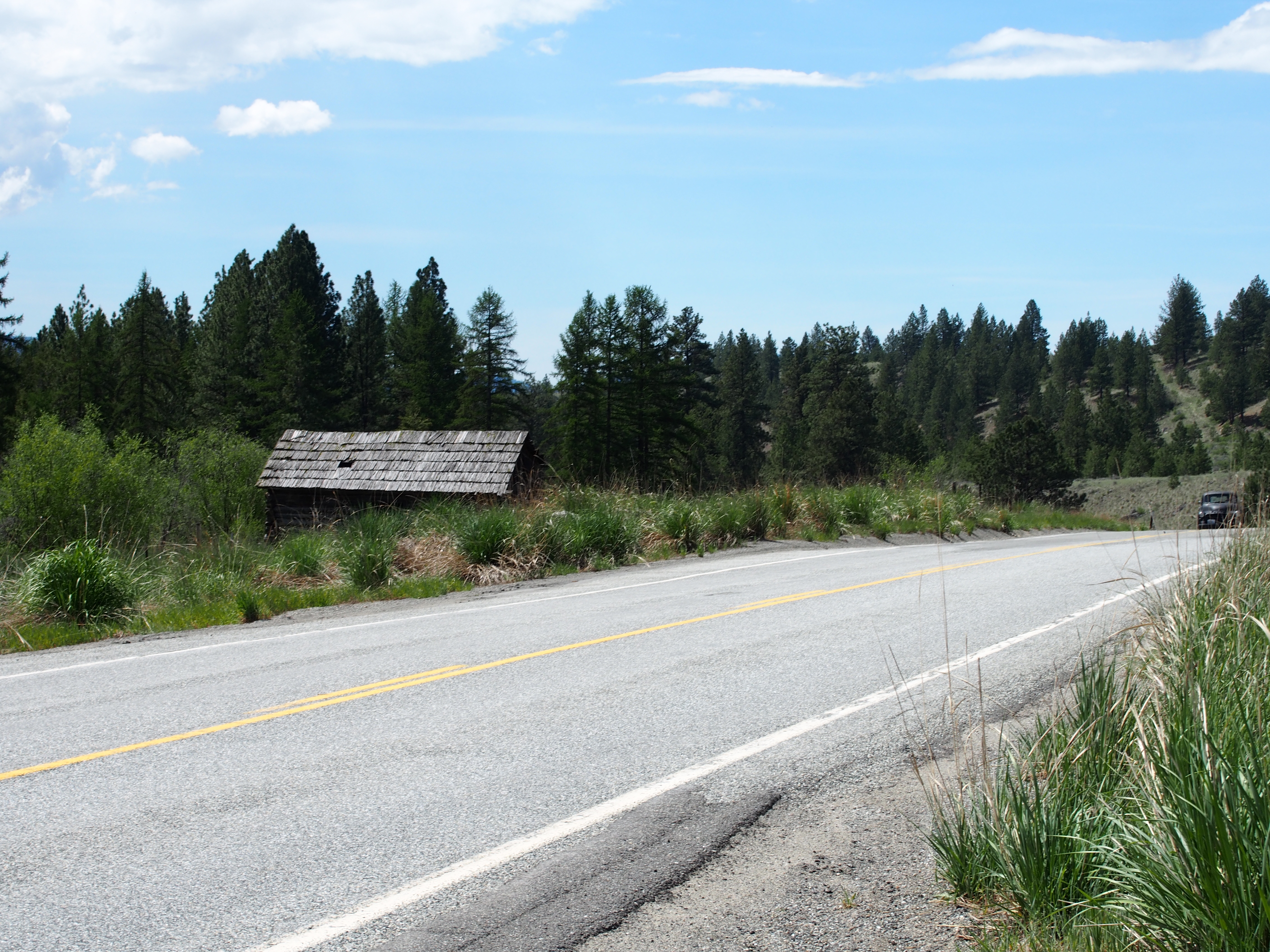
日出日落照片

DSC04832.jpg
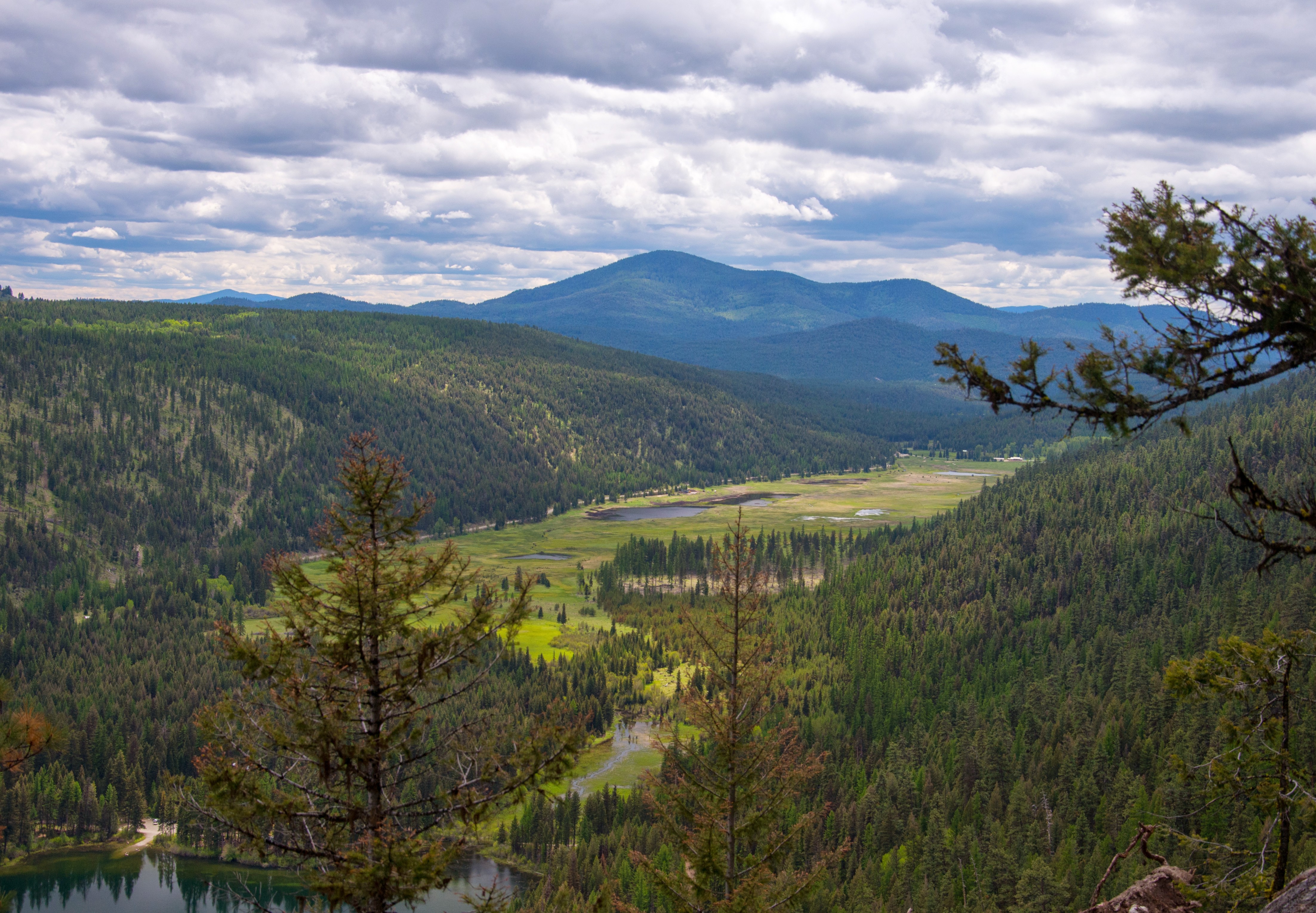
Bonaparte Lake and marshland from the Pacific Northwest Trail

Bonaparte Lake panorama from the Pacific Northwest Trail

Aeneas Valley Road near Highway 20
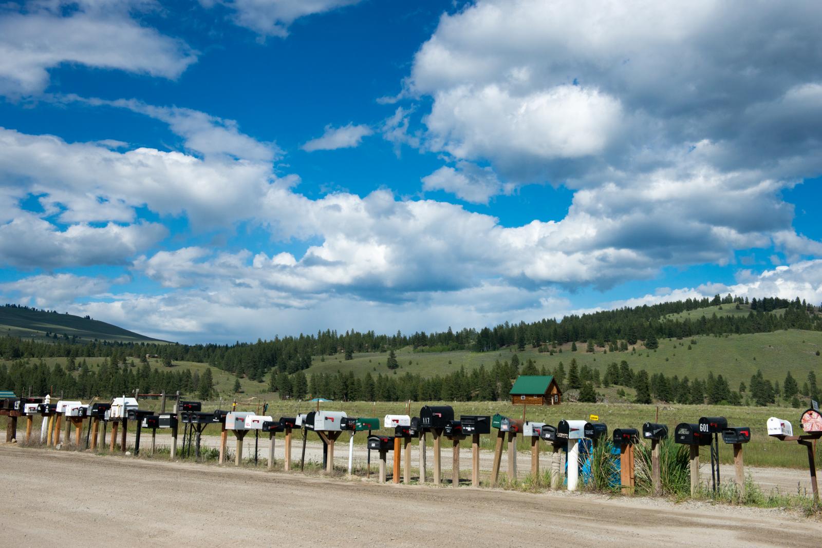
long row of mailboxes on Aeneas Valley Road
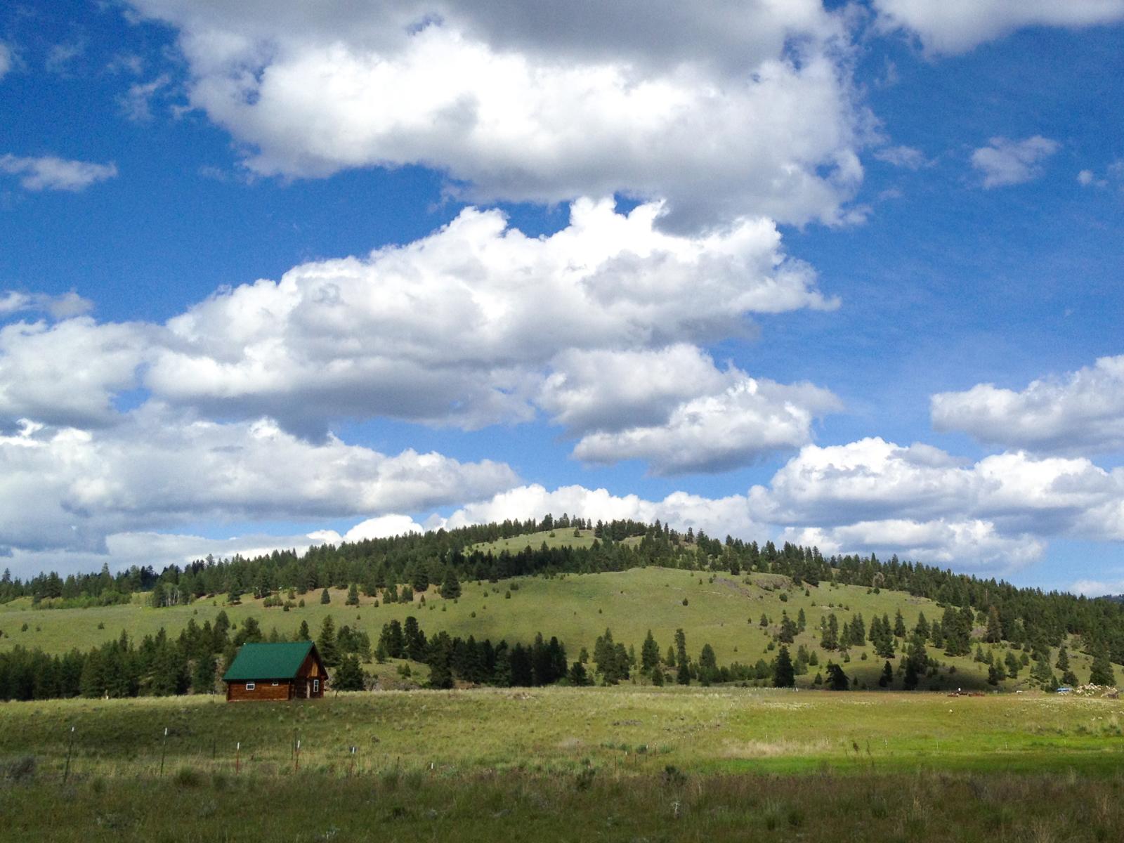
Ranch near Aeneas, Washington
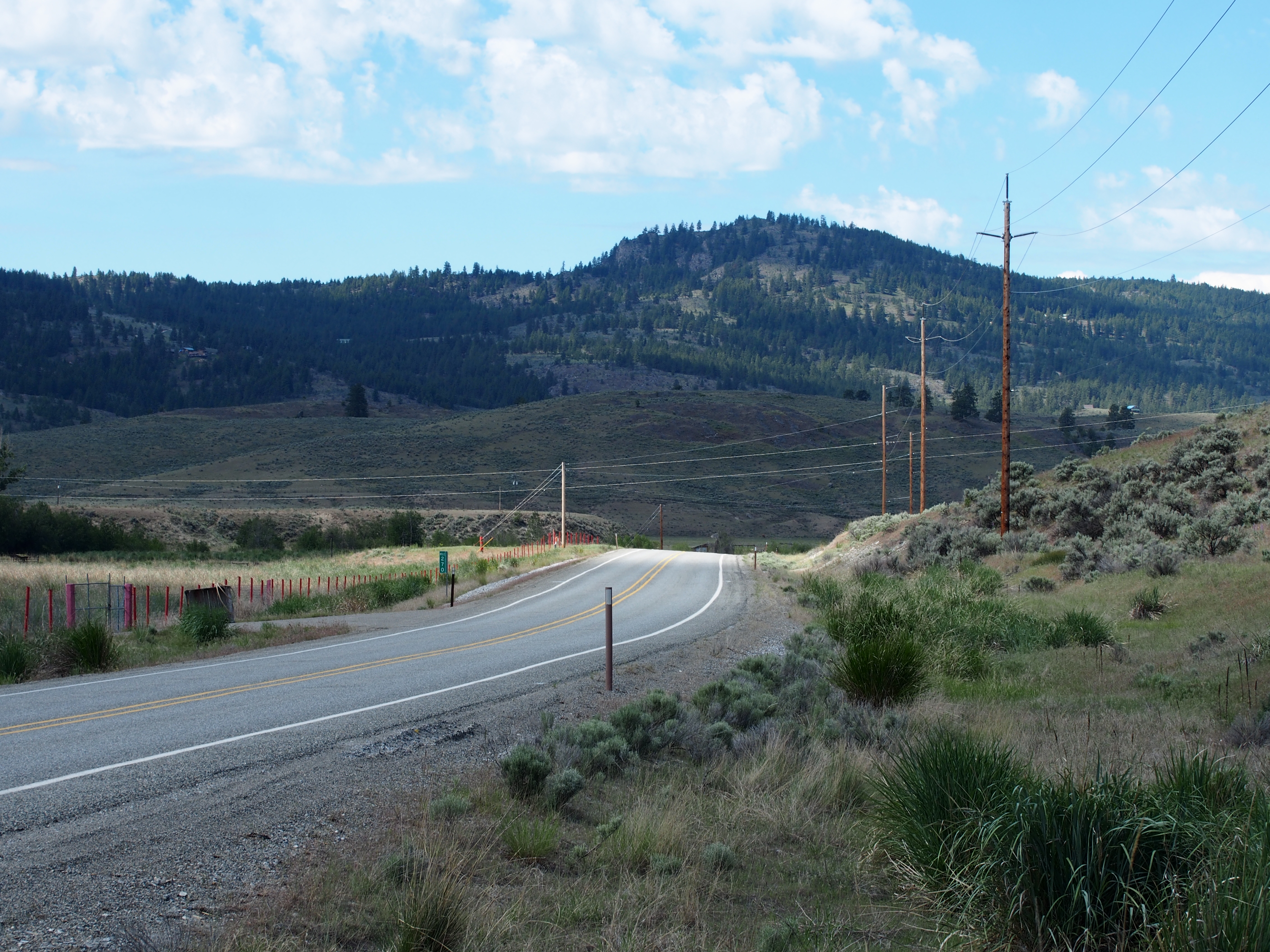
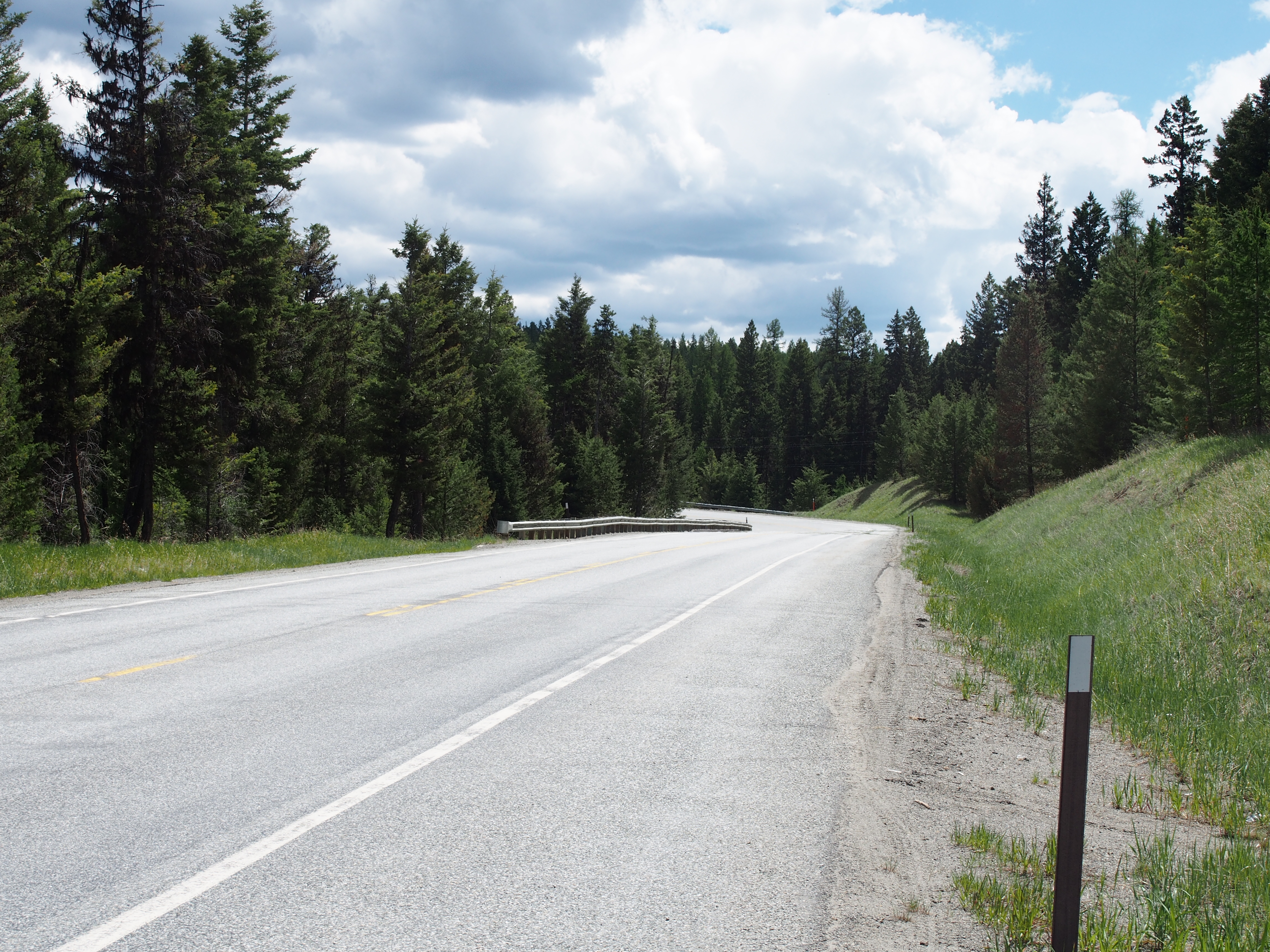
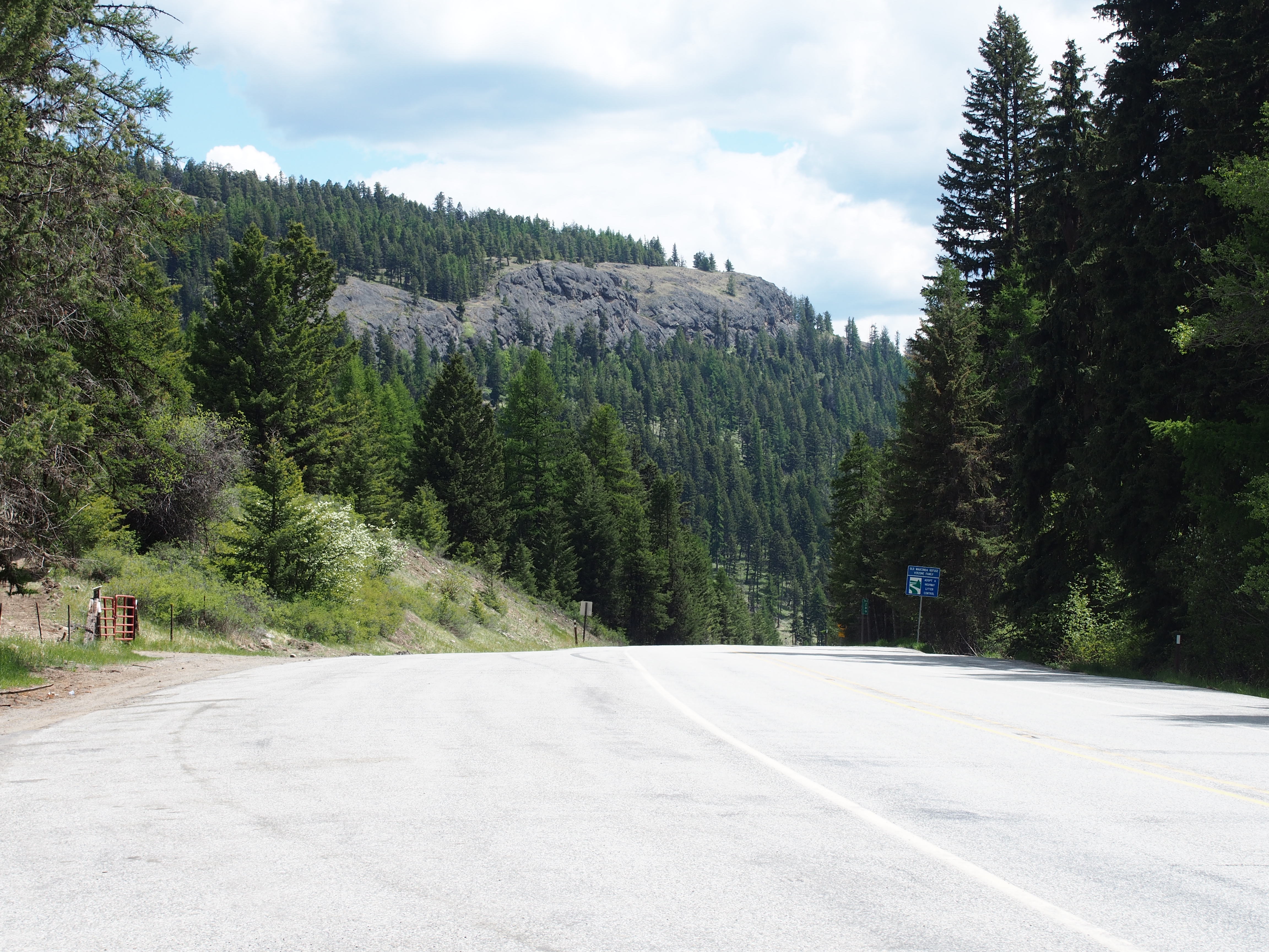
SR-20
P2015-05-21 10.58.24

P2015-05-21 10.58.29
P2015-05-21 11.51.58
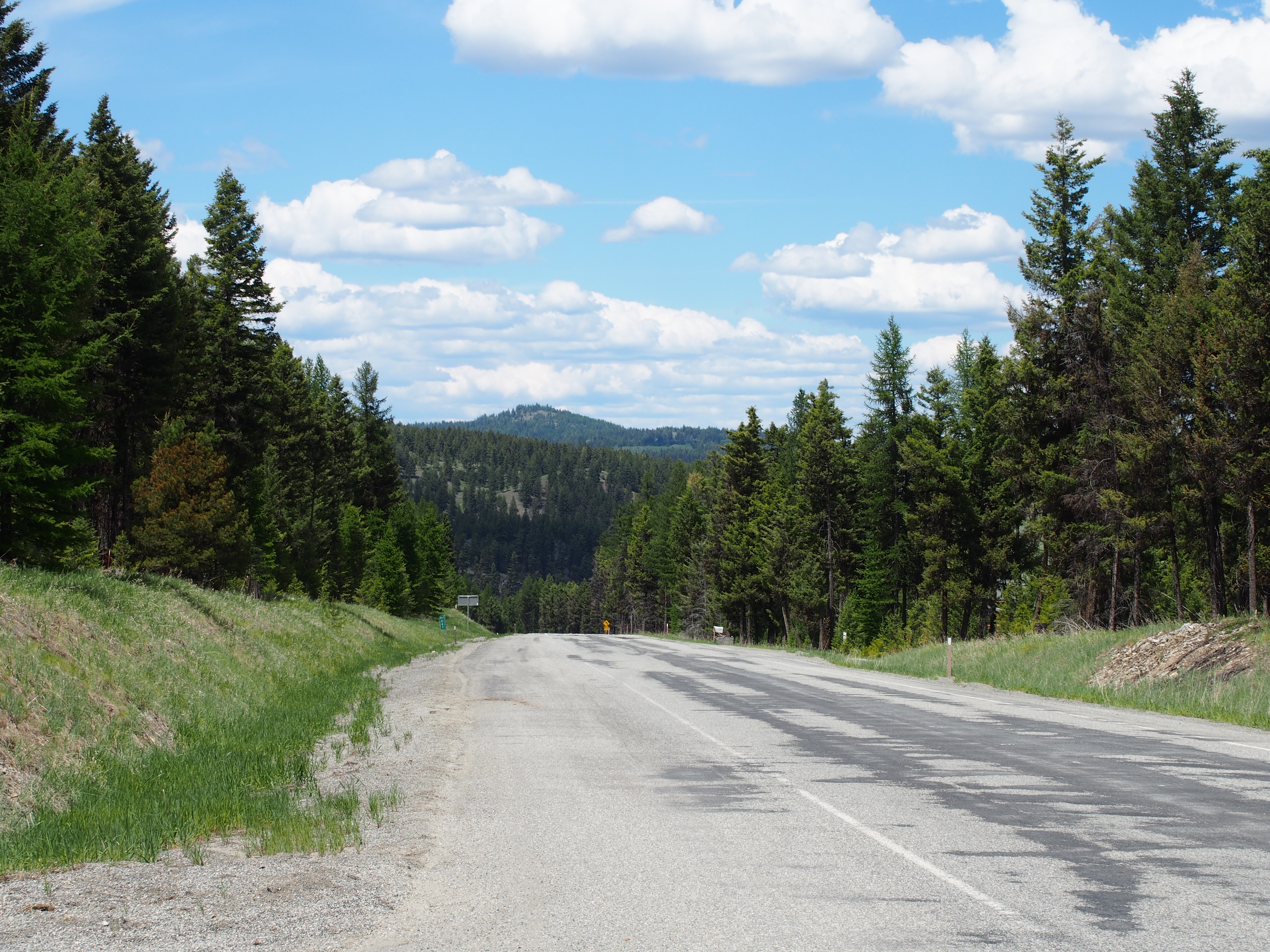
SR-20
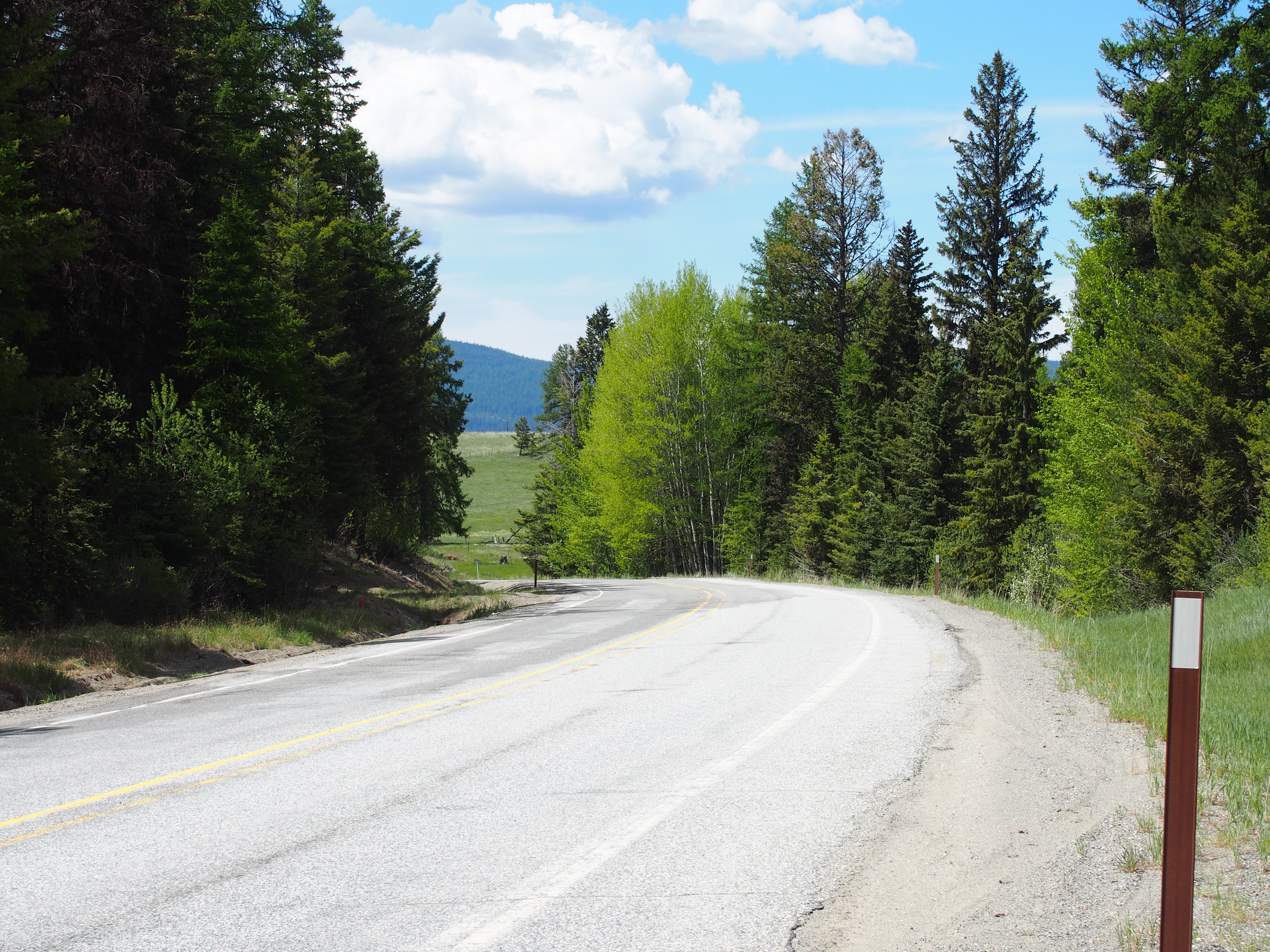
SR-20

Wauconda Store
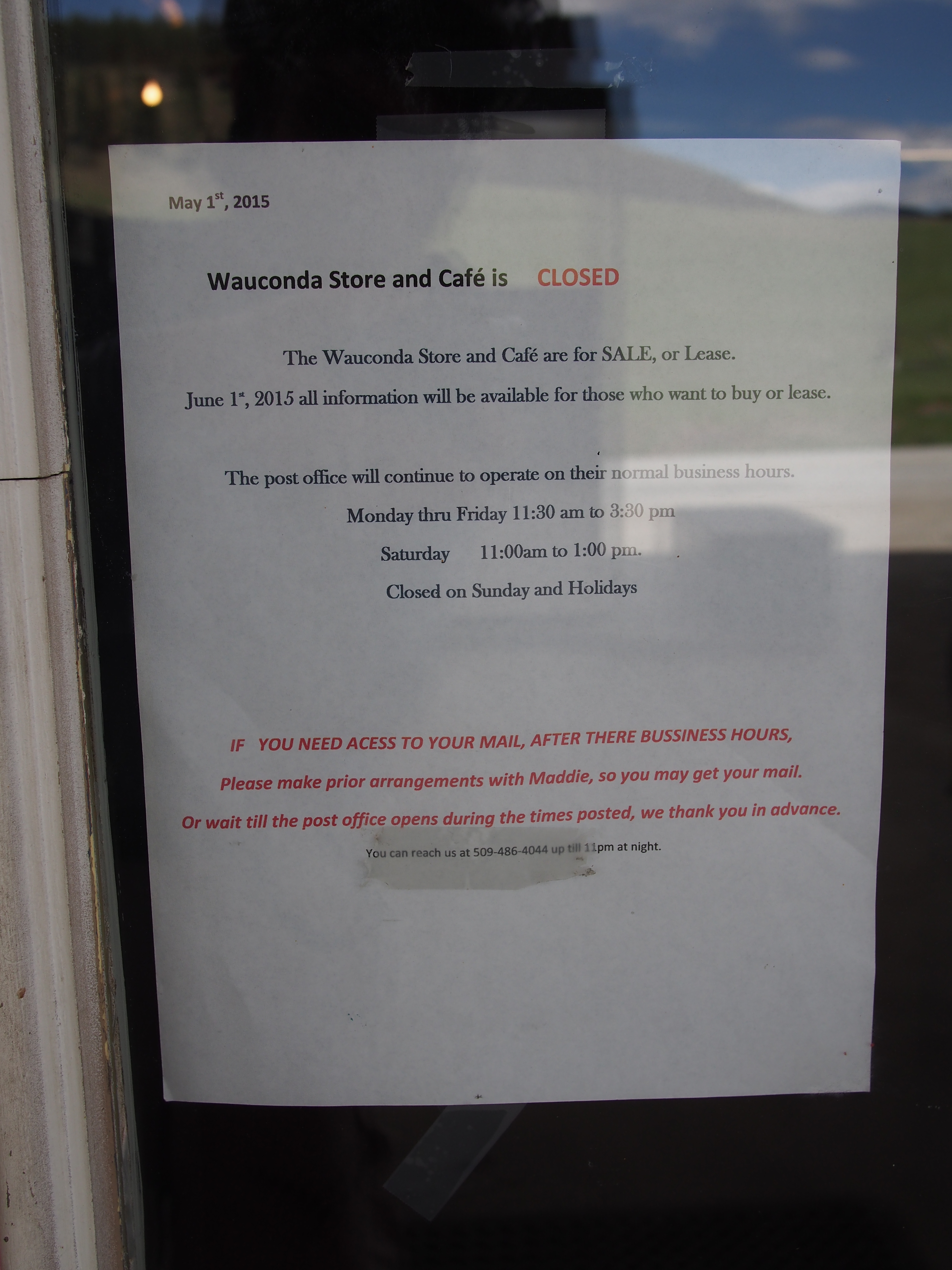
Wauconda Store Closure
SR-20
SR-20 at Wauconda Pass
SR-20 at Wauconda Pass

P2015-05-21 13.50.47
SR-20

Looking down Bonaparte Creek from the Pacific Northwest Trail just above Bonaparte Lake
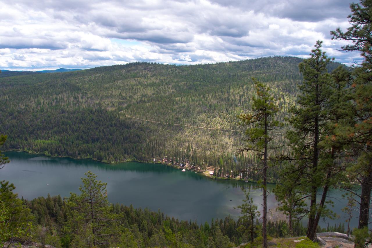
Bonaparte Lake and the Bonaparte Lake Resort from the Pacific Northwest Trail

Looking down at Bonaparte Lake from the Pacific Northwest Trail on the eastern slope of Mt. Bonaparte
Highvalley Rd, Washington 美國Highvalley Road的地圖
搜索其他地方的日出日落時間
附近地點
Big Boulder Ln, Tonasket, WA 美國
Big Boulder Ln, Washington 美國Big Boulder Lane
16 Breezy Ln, Tonasket, WA 美國
Neil Cir S Rd, Tonasket, WA 美國
High Country Dr W, Tonasket, WA 美國
Neil Cir S Rd, Tonasket, WA 美國
48 Long Lake Ln, Tonasket, WA 美國
Neil Canyon Rd, Tonasket, WA 美國Neil Canyon Road
Aeneas Valley, Washington 美國
Aeneas Valley Rd, Tonasket, WA 美國
Main Rd, Washington 美國Main Road
Wauconda, WA 美國
WA-20, Wauconda, WA 美國
Badger Rd, Washington 美國Badger Road
Tonasket, WA 美國Bonaparte Lake Campground
Bench Creek Rd, Tonasket, WA 美國
WA-20, Wauconda, WA 美國
3 Blue Star Ln, Tonasket, WA 美國
50 Bailey Meadows Rd, Tonasket, WA 美國
47 Bailey Meadows Rd, Tonasket, WA 美國
最近搜索
- Red Dog Mine, AK, USA的日出日落時間表
- Am bhf, Borken, 德國Am Bahnhof的日出日落時間表
- 4th St E, Sonoma, CA 美國的日出日落時間表
- Oakland Ave, Williamsport, PA 美國的日出日落時間表
- Via Roma, Pieranica CR, 義大利的日出日落時間表
- 克羅埃西亞杜布羅夫尼克 GradClock Tower of Dubrovnik的日出日落時間表
- 阿根廷丘布特省特雷利烏的日出日落時間表
- Hartfords Bluff Cir, Mt Pleasant, SC 美國的日出日落時間表
- 日本熊本縣熊本市北區的日出日落時間表
- 中國福州市平潭縣平潭島的日出日落時間表