Sunrise Sunset Times of Highvalley Road, Highvalley Rd, Washington, USA
Location: United States > Washington > Okanogan County > Tonasket >
Timezone:
America/Los_Angeles
Current Time:
2025-07-13 00:54:05
Longitude:
-119.1099354
Latitude:
48.6887678
Sunrise Today:
05:08:36 AM
Sunset Today:
08:56:02 PM
Daylength Today:
15h 47m 26s
Sunrise Tomorrow:
05:09:38 AM
Sunset Tomorrow:
08:55:12 PM
Daylength Tomorrow:
15h 45m 34s
Year Show All Dates
| Date | Sunrise | Sunset | Daylength |
|---|---|---|---|
| 01/01/2025 | 07:48:53 AM | 04:12:26 PM | 8h 23m 33s |
| 01/02/2025 | 07:48:45 AM | 04:13:29 PM | 8h 24m 44s |
| 01/03/2025 | 07:48:35 AM | 04:14:34 PM | 8h 25m 59s |
| 01/04/2025 | 07:48:21 AM | 04:15:41 PM | 8h 27m 20s |
| 01/05/2025 | 07:48:04 AM | 04:16:51 PM | 8h 28m 47s |
| 01/06/2025 | 07:47:44 AM | 04:18:02 PM | 8h 30m 18s |
| 01/07/2025 | 07:47:21 AM | 04:19:15 PM | 8h 31m 54s |
| 01/08/2025 | 07:46:56 AM | 04:20:30 PM | 8h 33m 34s |
| 01/09/2025 | 07:46:27 AM | 04:21:47 PM | 8h 35m 20s |
| 01/10/2025 | 07:45:56 AM | 04:23:06 PM | 8h 37m 10s |
| 01/11/2025 | 07:45:22 AM | 04:24:26 PM | 8h 39m 4s |
| 01/12/2025 | 07:44:45 AM | 04:25:47 PM | 8h 41m 2s |
| 01/13/2025 | 07:44:06 AM | 04:27:10 PM | 8h 43m 4s |
| 01/14/2025 | 07:43:23 AM | 04:28:35 PM | 8h 45m 12s |
| 01/15/2025 | 07:42:38 AM | 04:30:00 PM | 8h 47m 22s |
| 01/16/2025 | 07:41:51 AM | 04:31:27 PM | 8h 49m 36s |
| 01/17/2025 | 07:41:00 AM | 04:32:56 PM | 8h 51m 56s |
| 01/18/2025 | 07:40:08 AM | 04:34:25 PM | 8h 54m 17s |
| 01/19/2025 | 07:39:12 AM | 04:35:55 PM | 8h 56m 43s |
| 01/20/2025 | 07:38:15 AM | 04:37:26 PM | 8h 59m 11s |
| 01/21/2025 | 07:37:15 AM | 04:38:58 PM | 9h 1m 43s |
| 01/22/2025 | 07:36:12 AM | 04:40:31 PM | 9h 4m 19s |
| 01/23/2025 | 07:35:07 AM | 04:42:05 PM | 9h 6m 58s |
| 01/24/2025 | 07:34:00 AM | 04:43:39 PM | 9h 9m 39s |
| 01/25/2025 | 07:32:51 AM | 04:45:14 PM | 9h 12m 23s |
| 01/26/2025 | 07:31:39 AM | 04:46:50 PM | 9h 15m 11s |
| 01/27/2025 | 07:30:26 AM | 04:48:26 PM | 9h 18m 0s |
| 01/28/2025 | 07:29:10 AM | 04:50:02 PM | 9h 20m 52s |
| 01/29/2025 | 07:27:52 AM | 04:51:39 PM | 9h 23m 47s |
| 01/30/2025 | 07:26:32 AM | 04:53:16 PM | 9h 26m 44s |
| 01/31/2025 | 07:25:11 AM | 04:54:54 PM | 9h 29m 43s |
| 02/01/2025 | 07:23:47 AM | 04:56:32 PM | 9h 32m 45s |
| 02/02/2025 | 07:22:22 AM | 04:58:10 PM | 9h 35m 48s |
| 02/03/2025 | 07:20:55 AM | 04:59:48 PM | 9h 38m 53s |
| 02/04/2025 | 07:19:26 AM | 05:01:27 PM | 9h 42m 1s |
| 02/05/2025 | 07:17:55 AM | 05:03:05 PM | 9h 45m 10s |
| 02/06/2025 | 07:16:22 AM | 05:04:44 PM | 9h 48m 22s |
| 02/07/2025 | 07:14:49 AM | 05:06:22 PM | 9h 51m 33s |
| 02/08/2025 | 07:13:13 AM | 05:08:01 PM | 9h 54m 48s |
| 02/09/2025 | 07:11:36 AM | 05:09:39 PM | 9h 58m 3s |
| 02/10/2025 | 07:09:57 AM | 05:11:18 PM | 10h 1m 21s |
| 02/11/2025 | 07:08:18 AM | 05:12:56 PM | 10h 4m 38s |
| 02/12/2025 | 07:06:36 AM | 05:14:34 PM | 10h 7m 58s |
| 02/13/2025 | 07:04:53 AM | 05:16:13 PM | 10h 11m 20s |
| 02/14/2025 | 07:03:10 AM | 05:17:51 PM | 10h 14m 41s |
| 02/15/2025 | 07:01:24 AM | 05:19:28 PM | 10h 18m 4s |
| 02/16/2025 | 06:59:38 AM | 05:21:06 PM | 10h 21m 28s |
| 02/17/2025 | 06:57:50 AM | 05:22:43 PM | 10h 24m 53s |
| 02/18/2025 | 06:56:01 AM | 05:24:21 PM | 10h 28m 20s |
| 02/19/2025 | 06:54:12 AM | 05:25:58 PM | 10h 31m 46s |
| 02/20/2025 | 06:52:21 AM | 05:27:34 PM | 10h 35m 13s |
| 02/21/2025 | 06:50:29 AM | 05:29:11 PM | 10h 38m 42s |
| 02/22/2025 | 06:48:36 AM | 05:30:47 PM | 10h 42m 11s |
| 02/23/2025 | 06:46:42 AM | 05:32:23 PM | 10h 45m 41s |
| 02/24/2025 | 06:44:48 AM | 05:33:59 PM | 10h 49m 11s |
| 02/25/2025 | 06:42:52 AM | 05:35:34 PM | 10h 52m 42s |
| 02/26/2025 | 06:40:56 AM | 05:37:09 PM | 10h 56m 13s |
| 02/27/2025 | 06:38:58 AM | 05:38:44 PM | 10h 59m 46s |
| 02/28/2025 | 06:37:01 AM | 05:40:19 PM | 11h 3m 18s |
| 03/01/2025 | 06:35:02 AM | 05:41:53 PM | 11h 6m 51s |
| 03/02/2025 | 06:33:03 AM | 05:43:27 PM | 11h 10m 24s |
| 03/03/2025 | 06:31:03 AM | 05:45:01 PM | 11h 13m 58s |
| 03/04/2025 | 06:29:02 AM | 05:46:34 PM | 11h 17m 32s |
| 03/05/2025 | 06:27:01 AM | 05:48:07 PM | 11h 21m 6s |
| 03/06/2025 | 06:24:59 AM | 05:49:40 PM | 11h 24m 41s |
| 03/07/2025 | 06:22:57 AM | 05:51:13 PM | 11h 28m 16s |
| 03/08/2025 | 06:20:55 AM | 05:52:45 PM | 11h 31m 50s |
| 03/09/2025 | 07:18:57 AM | 06:54:14 PM | 11h 35m 17s |
| 03/10/2025 | 07:16:53 AM | 06:55:46 PM | 11h 38m 53s |
| 03/11/2025 | 07:14:50 AM | 06:57:17 PM | 11h 42m 27s |
| 03/12/2025 | 07:12:45 AM | 06:58:49 PM | 11h 46m 4s |
| 03/13/2025 | 07:10:41 AM | 07:00:20 PM | 11h 49m 39s |
| 03/14/2025 | 07:08:36 AM | 07:01:51 PM | 11h 53m 15s |
| 03/15/2025 | 07:06:31 AM | 07:03:22 PM | 11h 56m 51s |
| 03/16/2025 | 07:04:26 AM | 07:04:53 PM | 12h 0m 27s |
| 03/17/2025 | 07:02:21 AM | 07:06:24 PM | 12h 4m 3s |
| 03/18/2025 | 07:00:15 AM | 07:07:54 PM | 12h 7m 39s |
| 03/19/2025 | 06:58:09 AM | 07:09:24 PM | 12h 11m 15s |
| 03/20/2025 | 06:56:04 AM | 07:10:54 PM | 12h 14m 50s |
| 03/21/2025 | 06:53:58 AM | 07:12:24 PM | 12h 18m 26s |
| 03/22/2025 | 06:51:52 AM | 07:13:54 PM | 12h 22m 2s |
| 03/23/2025 | 06:49:46 AM | 07:15:24 PM | 12h 25m 38s |
| 03/24/2025 | 06:47:41 AM | 07:16:53 PM | 12h 29m 12s |
| 03/25/2025 | 06:45:35 AM | 07:18:23 PM | 12h 32m 48s |
| 03/26/2025 | 06:43:29 AM | 07:19:52 PM | 12h 36m 23s |
| 03/27/2025 | 06:41:24 AM | 07:21:21 PM | 12h 39m 57s |
| 03/28/2025 | 06:39:18 AM | 07:22:51 PM | 12h 43m 33s |
| 03/29/2025 | 06:37:13 AM | 07:24:20 PM | 12h 47m 7s |
| 03/30/2025 | 06:35:08 AM | 07:25:49 PM | 12h 50m 41s |
| 03/31/2025 | 06:33:04 AM | 07:27:18 PM | 12h 54m 14s |
| 04/01/2025 | 06:30:59 AM | 07:28:47 PM | 12h 57m 48s |
| 04/02/2025 | 06:28:55 AM | 07:30:16 PM | 13h 1m 21s |
| 04/03/2025 | 06:26:52 AM | 07:31:45 PM | 13h 4m 53s |
| 04/04/2025 | 06:24:48 AM | 07:33:14 PM | 13h 8m 26s |
| 04/05/2025 | 06:22:45 AM | 07:34:43 PM | 13h 11m 58s |
| 04/06/2025 | 06:20:43 AM | 07:36:12 PM | 13h 15m 29s |
| 04/07/2025 | 06:18:41 AM | 07:37:41 PM | 13h 19m 0s |
| 04/08/2025 | 06:16:39 AM | 07:39:09 PM | 13h 22m 30s |
| 04/09/2025 | 06:14:39 AM | 07:40:38 PM | 13h 25m 59s |
| 04/10/2025 | 06:12:38 AM | 07:42:07 PM | 13h 29m 29s |
| 04/11/2025 | 06:10:38 AM | 07:43:36 PM | 13h 32m 58s |
| 04/12/2025 | 06:08:39 AM | 07:45:05 PM | 13h 36m 26s |
| 04/13/2025 | 06:06:41 AM | 07:46:34 PM | 13h 39m 53s |
| 04/14/2025 | 06:04:43 AM | 07:48:02 PM | 13h 43m 19s |
| 04/15/2025 | 06:02:46 AM | 07:49:31 PM | 13h 46m 45s |
| 04/16/2025 | 06:00:50 AM | 07:51:00 PM | 13h 50m 10s |
| 04/17/2025 | 05:58:55 AM | 07:52:29 PM | 13h 53m 34s |
| 04/18/2025 | 05:57:00 AM | 07:53:57 PM | 13h 56m 57s |
| 04/19/2025 | 05:55:06 AM | 07:55:26 PM | 14h 0m 20s |
| 04/20/2025 | 05:53:14 AM | 07:56:54 PM | 14h 3m 40s |
| 04/21/2025 | 05:51:22 AM | 07:58:23 PM | 14h 7m 1s |
| 04/22/2025 | 05:49:31 AM | 07:59:51 PM | 14h 10m 20s |
| 04/23/2025 | 05:47:42 AM | 08:01:20 PM | 14h 13m 38s |
| 04/24/2025 | 05:45:53 AM | 08:02:48 PM | 14h 16m 55s |
| 04/25/2025 | 05:44:05 AM | 08:04:16 PM | 14h 20m 11s |
| 04/26/2025 | 05:42:19 AM | 08:05:44 PM | 14h 23m 25s |
| 04/27/2025 | 05:40:34 AM | 08:07:11 PM | 14h 26m 37s |
| 04/28/2025 | 05:38:50 AM | 08:08:39 PM | 14h 29m 49s |
| 04/29/2025 | 05:37:07 AM | 08:10:06 PM | 14h 32m 59s |
| 04/30/2025 | 05:35:26 AM | 08:11:33 PM | 14h 36m 7s |
| 05/01/2025 | 05:33:46 AM | 08:13:00 PM | 14h 39m 14s |
| 05/02/2025 | 05:32:08 AM | 08:14:26 PM | 14h 42m 18s |
| 05/03/2025 | 05:30:30 AM | 08:15:52 PM | 14h 45m 22s |
| 05/04/2025 | 05:28:55 AM | 08:17:18 PM | 14h 48m 23s |
| 05/05/2025 | 05:27:21 AM | 08:18:44 PM | 14h 51m 23s |
| 05/06/2025 | 05:25:48 AM | 08:20:08 PM | 14h 54m 20s |
| 05/07/2025 | 05:24:17 AM | 08:21:33 PM | 14h 57m 16s |
| 05/08/2025 | 05:22:48 AM | 08:22:57 PM | 15h 0m 9s |
| 05/09/2025 | 05:21:20 AM | 08:24:20 PM | 15h 3m 0s |
| 05/10/2025 | 05:19:54 AM | 08:25:43 PM | 15h 5m 49s |
| 05/11/2025 | 05:18:30 AM | 08:27:05 PM | 15h 8m 35s |
| 05/12/2025 | 05:17:08 AM | 08:28:27 PM | 15h 11m 19s |
| 05/13/2025 | 05:15:47 AM | 08:29:48 PM | 15h 14m 1s |
| 05/14/2025 | 05:14:29 AM | 08:31:08 PM | 15h 16m 39s |
| 05/15/2025 | 05:13:12 AM | 08:32:27 PM | 15h 19m 15s |
| 05/16/2025 | 05:11:58 AM | 08:33:45 PM | 15h 21m 47s |
| 05/17/2025 | 05:10:45 AM | 08:35:02 PM | 15h 24m 17s |
| 05/18/2025 | 05:09:35 AM | 08:36:19 PM | 15h 26m 44s |
| 05/19/2025 | 05:08:26 AM | 08:37:34 PM | 15h 29m 8s |
| 05/20/2025 | 05:07:20 AM | 08:38:49 PM | 15h 31m 29s |
| 05/21/2025 | 05:06:16 AM | 08:40:02 PM | 15h 33m 46s |
| 05/22/2025 | 05:05:14 AM | 08:41:14 PM | 15h 36m 0s |
| 05/23/2025 | 05:04:15 AM | 08:42:24 PM | 15h 38m 9s |
| 05/24/2025 | 05:03:17 AM | 08:43:34 PM | 15h 40m 17s |
| 05/25/2025 | 05:02:23 AM | 08:44:42 PM | 15h 42m 19s |
| 05/26/2025 | 05:01:30 AM | 08:45:48 PM | 15h 44m 18s |
| 05/27/2025 | 05:00:40 AM | 08:46:54 PM | 15h 46m 14s |
| 05/28/2025 | 04:59:52 AM | 08:47:57 PM | 15h 48m 5s |
| 05/29/2025 | 04:59:07 AM | 08:48:59 PM | 15h 49m 52s |
| 05/30/2025 | 04:58:25 AM | 08:49:59 PM | 15h 51m 34s |
| 05/31/2025 | 04:57:45 AM | 08:50:58 PM | 15h 53m 13s |
| 06/01/2025 | 04:57:07 AM | 08:51:55 PM | 15h 54m 48s |
| 06/02/2025 | 04:56:32 AM | 08:52:49 PM | 15h 56m 17s |
| 06/03/2025 | 04:56:00 AM | 08:53:42 PM | 15h 57m 42s |
| 06/04/2025 | 04:55:30 AM | 08:54:33 PM | 15h 59m 3s |
| 06/05/2025 | 04:55:03 AM | 08:55:22 PM | 16h 0m 19s |
| 06/06/2025 | 04:54:38 AM | 08:56:09 PM | 16h 1m 31s |
| 06/07/2025 | 04:54:17 AM | 08:56:54 PM | 16h 2m 37s |
| 06/08/2025 | 04:53:58 AM | 08:57:37 PM | 16h 3m 39s |
| 06/09/2025 | 04:53:41 AM | 08:58:17 PM | 16h 4m 36s |
| 06/10/2025 | 04:53:28 AM | 08:58:55 PM | 16h 5m 27s |
| 06/11/2025 | 04:53:17 AM | 08:59:31 PM | 16h 6m 14s |
| 06/12/2025 | 04:53:09 AM | 09:00:04 PM | 16h 6m 55s |
| 06/13/2025 | 04:53:03 AM | 09:00:35 PM | 16h 7m 32s |
| 06/14/2025 | 04:53:00 AM | 09:01:04 PM | 16h 8m 4s |
| 06/15/2025 | 04:53:00 AM | 09:01:30 PM | 16h 8m 30s |
| 06/16/2025 | 04:53:03 AM | 09:01:53 PM | 16h 8m 50s |
| 06/17/2025 | 04:53:08 AM | 09:02:14 PM | 16h 9m 6s |
| 06/18/2025 | 04:53:16 AM | 09:02:32 PM | 16h 9m 16s |
| 06/19/2025 | 04:53:26 AM | 09:02:48 PM | 16h 9m 22s |
| 06/20/2025 | 04:53:39 AM | 09:03:01 PM | 16h 9m 22s |
| 06/21/2025 | 04:53:55 AM | 09:03:11 PM | 16h 9m 16s |
| 06/22/2025 | 04:54:13 AM | 09:03:19 PM | 16h 9m 6s |
| 06/23/2025 | 04:54:34 AM | 09:03:24 PM | 16h 8m 50s |
| 06/24/2025 | 04:54:58 AM | 09:03:26 PM | 16h 8m 28s |
| 06/25/2025 | 04:55:23 AM | 09:03:25 PM | 16h 8m 2s |
| 06/26/2025 | 04:55:51 AM | 09:03:22 PM | 16h 7m 31s |
| 06/27/2025 | 04:56:22 AM | 09:03:16 PM | 16h 6m 54s |
| 06/28/2025 | 04:56:55 AM | 09:03:07 PM | 16h 6m 12s |
| 06/29/2025 | 04:57:30 AM | 09:02:56 PM | 16h 5m 26s |
| 06/30/2025 | 04:58:08 AM | 09:02:42 PM | 16h 4m 34s |
| 07/01/2025 | 04:58:47 AM | 09:02:24 PM | 16h 3m 37s |
| 07/02/2025 | 04:59:29 AM | 09:02:05 PM | 16h 2m 36s |
| 07/03/2025 | 05:00:13 AM | 09:01:42 PM | 16h 1m 29s |
| 07/04/2025 | 05:00:59 AM | 09:01:17 PM | 16h 0m 18s |
| 07/05/2025 | 05:01:47 AM | 09:00:49 PM | 15h 59m 2s |
| 07/06/2025 | 05:02:37 AM | 09:00:18 PM | 15h 57m 41s |
| 07/07/2025 | 05:03:28 AM | 08:59:45 PM | 15h 56m 17s |
| 07/08/2025 | 05:04:22 AM | 08:59:09 PM | 15h 54m 47s |
| 07/09/2025 | 05:05:17 AM | 08:58:31 PM | 15h 53m 14s |
| 07/10/2025 | 05:06:14 AM | 08:57:50 PM | 15h 51m 36s |
| 07/11/2025 | 05:07:13 AM | 08:57:06 PM | 15h 49m 53s |
| 07/12/2025 | 05:08:13 AM | 08:56:20 PM | 15h 48m 7s |
| 07/13/2025 | 05:09:15 AM | 08:55:31 PM | 15h 46m 16s |
| 07/14/2025 | 05:10:18 AM | 08:54:40 PM | 15h 44m 22s |
| 07/15/2025 | 05:11:23 AM | 08:53:47 PM | 15h 42m 24s |
| 07/16/2025 | 05:12:29 AM | 08:52:51 PM | 15h 40m 22s |
| 07/17/2025 | 05:13:36 AM | 08:51:52 PM | 15h 38m 16s |
| 07/18/2025 | 05:14:44 AM | 08:50:52 PM | 15h 36m 8s |
| 07/19/2025 | 05:15:54 AM | 08:49:49 PM | 15h 33m 55s |
| 07/20/2025 | 05:17:05 AM | 08:48:44 PM | 15h 31m 39s |
| 07/21/2025 | 05:18:17 AM | 08:47:36 PM | 15h 29m 19s |
| 07/22/2025 | 05:19:29 AM | 08:46:27 PM | 15h 26m 58s |
| 07/23/2025 | 05:20:43 AM | 08:45:15 PM | 15h 24m 32s |
| 07/24/2025 | 05:21:58 AM | 08:44:01 PM | 15h 22m 3s |
| 07/25/2025 | 05:23:13 AM | 08:42:46 PM | 15h 19m 33s |
| 07/26/2025 | 05:24:30 AM | 08:41:28 PM | 15h 16m 58s |
| 07/27/2025 | 05:25:47 AM | 08:40:08 PM | 15h 14m 21s |
| 07/28/2025 | 05:27:05 AM | 08:38:46 PM | 15h 11m 41s |
| 07/29/2025 | 05:28:23 AM | 08:37:23 PM | 15h 9m 0s |
| 07/30/2025 | 05:29:42 AM | 08:35:58 PM | 15h 6m 16s |
| 07/31/2025 | 05:31:02 AM | 08:34:31 PM | 15h 3m 29s |
| 08/01/2025 | 05:32:22 AM | 08:33:02 PM | 15h 0m 40s |
| 08/02/2025 | 05:33:42 AM | 08:31:31 PM | 14h 57m 49s |
| 08/03/2025 | 05:35:03 AM | 08:29:59 PM | 14h 54m 56s |
| 08/04/2025 | 05:36:25 AM | 08:28:25 PM | 14h 52m 0s |
| 08/05/2025 | 05:37:47 AM | 08:26:50 PM | 14h 49m 3s |
| 08/06/2025 | 05:39:09 AM | 08:25:13 PM | 14h 46m 4s |
| 08/07/2025 | 05:40:31 AM | 08:23:35 PM | 14h 43m 4s |
| 08/08/2025 | 05:41:54 AM | 08:21:55 PM | 14h 40m 1s |
| 08/09/2025 | 05:43:17 AM | 08:20:14 PM | 14h 36m 57s |
| 08/10/2025 | 05:44:40 AM | 08:18:31 PM | 14h 33m 51s |
| 08/11/2025 | 05:46:03 AM | 08:16:47 PM | 14h 30m 44s |
| 08/12/2025 | 05:47:27 AM | 08:15:02 PM | 14h 27m 35s |
| 08/13/2025 | 05:48:51 AM | 08:13:16 PM | 14h 24m 25s |
| 08/14/2025 | 05:50:14 AM | 08:11:28 PM | 14h 21m 14s |
| 08/15/2025 | 05:51:38 AM | 08:09:40 PM | 14h 18m 2s |
| 08/16/2025 | 05:53:02 AM | 08:07:50 PM | 14h 14m 48s |
| 08/17/2025 | 05:54:27 AM | 08:05:59 PM | 14h 11m 32s |
| 08/18/2025 | 05:55:51 AM | 08:04:07 PM | 14h 8m 16s |
| 08/19/2025 | 05:57:15 AM | 08:02:14 PM | 14h 4m 59s |
| 08/20/2025 | 05:58:39 AM | 08:00:20 PM | 14h 1m 41s |
| 08/21/2025 | 06:00:03 AM | 07:58:25 PM | 13h 58m 22s |
| 08/22/2025 | 06:01:28 AM | 07:56:29 PM | 13h 55m 1s |
| 08/23/2025 | 06:02:52 AM | 07:54:32 PM | 13h 51m 40s |
| 08/24/2025 | 06:04:16 AM | 07:52:35 PM | 13h 48m 19s |
| 08/25/2025 | 06:05:41 AM | 07:50:37 PM | 13h 44m 56s |
| 08/26/2025 | 06:07:05 AM | 07:48:38 PM | 13h 41m 33s |
| 08/27/2025 | 06:08:29 AM | 07:46:38 PM | 13h 38m 9s |
| 08/28/2025 | 06:09:53 AM | 07:44:38 PM | 13h 34m 45s |
| 08/29/2025 | 06:11:17 AM | 07:42:36 PM | 13h 31m 19s |
| 08/30/2025 | 06:12:42 AM | 07:40:35 PM | 13h 27m 53s |
| 08/31/2025 | 06:14:06 AM | 07:38:32 PM | 13h 24m 26s |
| 09/01/2025 | 06:15:30 AM | 07:36:30 PM | 13h 21m 0s |
| 09/02/2025 | 06:16:54 AM | 07:34:26 PM | 13h 17m 32s |
| 09/03/2025 | 06:18:18 AM | 07:32:22 PM | 13h 14m 4s |
| 09/04/2025 | 06:19:42 AM | 07:30:18 PM | 13h 10m 36s |
| 09/05/2025 | 06:21:06 AM | 07:28:13 PM | 13h 7m 7s |
| 09/06/2025 | 06:22:31 AM | 07:26:08 PM | 13h 3m 37s |
| 09/07/2025 | 06:23:55 AM | 07:24:03 PM | 13h 0m 8s |
| 09/08/2025 | 06:25:19 AM | 07:21:57 PM | 12h 56m 38s |
| 09/09/2025 | 06:26:43 AM | 07:19:51 PM | 12h 53m 8s |
| 09/10/2025 | 06:28:07 AM | 07:17:44 PM | 12h 49m 37s |
| 09/11/2025 | 06:29:31 AM | 07:15:38 PM | 12h 46m 7s |
| 09/12/2025 | 06:30:55 AM | 07:13:31 PM | 12h 42m 36s |
| 09/13/2025 | 06:32:20 AM | 07:11:24 PM | 12h 39m 4s |
| 09/14/2025 | 06:33:44 AM | 07:09:16 PM | 12h 35m 32s |
| 09/15/2025 | 06:35:09 AM | 07:07:09 PM | 12h 32m 0s |
| 09/16/2025 | 06:36:33 AM | 07:05:02 PM | 12h 28m 29s |
| 09/17/2025 | 06:37:58 AM | 07:02:54 PM | 12h 24m 56s |
| 09/18/2025 | 06:39:22 AM | 07:00:47 PM | 12h 21m 25s |
| 09/19/2025 | 06:40:47 AM | 06:58:39 PM | 12h 17m 52s |
| 09/20/2025 | 06:42:12 AM | 06:56:32 PM | 12h 14m 20s |
| 09/21/2025 | 06:43:37 AM | 06:54:24 PM | 12h 10m 47s |
| 09/22/2025 | 06:45:02 AM | 06:52:17 PM | 12h 7m 15s |
| 09/23/2025 | 06:46:28 AM | 06:50:10 PM | 12h 3m 42s |
| 09/24/2025 | 06:47:53 AM | 06:48:03 PM | 12h 0m 10s |
| 09/25/2025 | 06:49:19 AM | 06:45:56 PM | 11h 56m 37s |
| 09/26/2025 | 06:50:45 AM | 06:43:49 PM | 11h 53m 4s |
| 09/27/2025 | 06:52:11 AM | 06:41:43 PM | 11h 49m 32s |
| 09/28/2025 | 06:53:37 AM | 06:39:37 PM | 11h 46m 0s |
| 09/29/2025 | 06:55:04 AM | 06:37:31 PM | 11h 42m 27s |
| 09/30/2025 | 06:56:31 AM | 06:35:25 PM | 11h 38m 54s |
| 10/01/2025 | 06:57:58 AM | 06:33:20 PM | 11h 35m 22s |
| 10/02/2025 | 06:59:25 AM | 06:31:15 PM | 11h 31m 50s |
| 10/03/2025 | 07:00:52 AM | 06:29:11 PM | 11h 28m 19s |
| 10/04/2025 | 07:02:20 AM | 06:27:07 PM | 11h 24m 47s |
| 10/05/2025 | 07:03:48 AM | 06:25:04 PM | 11h 21m 16s |
| 10/06/2025 | 07:05:17 AM | 06:23:01 PM | 11h 17m 44s |
| 10/07/2025 | 07:06:45 AM | 06:20:59 PM | 11h 14m 14s |
| 10/08/2025 | 07:08:14 AM | 06:18:57 PM | 11h 10m 43s |
| 10/09/2025 | 07:09:43 AM | 06:16:56 PM | 11h 7m 13s |
| 10/10/2025 | 07:11:13 AM | 06:14:55 PM | 11h 3m 42s |
| 10/11/2025 | 07:12:42 AM | 06:12:56 PM | 11h 0m 14s |
| 10/12/2025 | 07:14:12 AM | 06:10:57 PM | 10h 56m 45s |
| 10/13/2025 | 07:15:43 AM | 06:08:59 PM | 10h 53m 16s |
| 10/14/2025 | 07:17:13 AM | 06:07:01 PM | 10h 49m 48s |
| 10/15/2025 | 07:18:44 AM | 06:05:05 PM | 10h 46m 21s |
| 10/16/2025 | 07:20:16 AM | 06:03:09 PM | 10h 42m 53s |
| 10/17/2025 | 07:21:47 AM | 06:01:14 PM | 10h 39m 27s |
| 10/18/2025 | 07:23:19 AM | 05:59:20 PM | 10h 36m 1s |
| 10/19/2025 | 07:24:51 AM | 05:57:27 PM | 10h 32m 36s |
| 10/20/2025 | 07:26:24 AM | 05:55:36 PM | 10h 29m 12s |
| 10/21/2025 | 07:27:56 AM | 05:53:45 PM | 10h 25m 49s |
| 10/22/2025 | 07:29:29 AM | 05:51:55 PM | 10h 22m 26s |
| 10/23/2025 | 07:31:02 AM | 05:50:07 PM | 10h 19m 5s |
| 10/24/2025 | 07:32:36 AM | 05:48:20 PM | 10h 15m 44s |
| 10/25/2025 | 07:34:10 AM | 05:46:33 PM | 10h 12m 23s |
| 10/26/2025 | 07:35:43 AM | 05:44:49 PM | 10h 9m 6s |
| 10/27/2025 | 07:37:17 AM | 05:43:05 PM | 10h 5m 48s |
| 10/28/2025 | 07:38:52 AM | 05:41:23 PM | 10h 2m 31s |
| 10/29/2025 | 07:40:26 AM | 05:39:42 PM | 9h 59m 16s |
| 10/30/2025 | 07:42:01 AM | 05:38:03 PM | 9h 56m 2s |
| 10/31/2025 | 07:43:35 AM | 05:36:25 PM | 9h 52m 50s |
| 11/01/2025 | 07:45:10 AM | 05:34:49 PM | 9h 49m 39s |
| 11/02/2025 | 06:46:48 AM | 04:33:10 PM | 9h 46m 22s |
| 11/03/2025 | 06:48:23 AM | 04:31:37 PM | 9h 43m 14s |
| 11/04/2025 | 06:49:58 AM | 04:30:06 PM | 9h 40m 8s |
| 11/05/2025 | 06:51:32 AM | 04:28:37 PM | 9h 37m 5s |
| 11/06/2025 | 06:53:07 AM | 04:27:09 PM | 9h 34m 2s |
| 11/07/2025 | 06:54:41 AM | 04:25:43 PM | 9h 31m 2s |
| 11/08/2025 | 06:56:16 AM | 04:24:19 PM | 9h 28m 3s |
| 11/09/2025 | 06:57:50 AM | 04:22:56 PM | 9h 25m 6s |
| 11/10/2025 | 06:59:23 AM | 04:21:36 PM | 9h 22m 13s |
| 11/11/2025 | 07:00:57 AM | 04:20:18 PM | 9h 19m 21s |
| 11/12/2025 | 07:02:30 AM | 04:19:02 PM | 9h 16m 32s |
| 11/13/2025 | 07:04:03 AM | 04:17:48 PM | 9h 13m 45s |
| 11/14/2025 | 07:05:35 AM | 04:16:36 PM | 9h 11m 1s |
| 11/15/2025 | 07:07:07 AM | 04:15:26 PM | 9h 8m 19s |
| 11/16/2025 | 07:08:38 AM | 04:14:19 PM | 9h 5m 41s |
| 11/17/2025 | 07:10:08 AM | 04:13:13 PM | 9h 3m 5s |
| 11/18/2025 | 07:11:38 AM | 04:12:11 PM | 9h 0m 33s |
| 11/19/2025 | 07:13:07 AM | 04:11:10 PM | 8h 58m 3s |
| 11/20/2025 | 07:14:35 AM | 04:10:12 PM | 8h 55m 37s |
| 11/21/2025 | 07:16:03 AM | 04:09:17 PM | 8h 53m 14s |
| 11/22/2025 | 07:17:29 AM | 04:08:24 PM | 8h 50m 55s |
| 11/23/2025 | 07:18:54 AM | 04:07:33 PM | 8h 48m 39s |
| 11/24/2025 | 07:20:19 AM | 04:06:45 PM | 8h 46m 26s |
| 11/25/2025 | 07:21:42 AM | 04:06:00 PM | 8h 44m 18s |
| 11/26/2025 | 07:23:03 AM | 04:05:18 PM | 8h 42m 15s |
| 11/27/2025 | 07:24:24 AM | 04:04:38 PM | 8h 40m 14s |
| 11/28/2025 | 07:25:43 AM | 04:04:01 PM | 8h 38m 18s |
| 11/29/2025 | 07:27:01 AM | 04:03:27 PM | 8h 36m 26s |
| 11/30/2025 | 07:28:17 AM | 04:02:56 PM | 8h 34m 39s |
| 12/01/2025 | 07:29:31 AM | 04:02:27 PM | 8h 32m 56s |
| 12/02/2025 | 07:30:44 AM | 04:02:02 PM | 8h 31m 18s |
| 12/03/2025 | 07:31:55 AM | 04:01:39 PM | 8h 29m 44s |
| 12/04/2025 | 07:33:05 AM | 04:01:19 PM | 8h 28m 14s |
| 12/05/2025 | 07:34:12 AM | 04:01:03 PM | 8h 26m 51s |
| 12/06/2025 | 07:35:17 AM | 04:00:49 PM | 8h 25m 32s |
| 12/07/2025 | 07:36:21 AM | 04:00:38 PM | 8h 24m 17s |
| 12/08/2025 | 07:37:22 AM | 04:00:31 PM | 8h 23m 9s |
| 12/09/2025 | 07:38:21 AM | 04:00:26 PM | 8h 22m 5s |
| 12/10/2025 | 07:39:18 AM | 04:00:25 PM | 8h 21m 7s |
| 12/11/2025 | 07:40:12 AM | 04:00:26 PM | 8h 20m 14s |
| 12/12/2025 | 07:41:04 AM | 04:00:31 PM | 8h 19m 27s |
| 12/13/2025 | 07:41:54 AM | 04:00:38 PM | 8h 18m 44s |
| 12/14/2025 | 07:42:41 AM | 04:00:49 PM | 8h 18m 8s |
| 12/15/2025 | 07:43:26 AM | 04:01:02 PM | 8h 17m 36s |
| 12/16/2025 | 07:44:08 AM | 04:01:19 PM | 8h 17m 11s |
| 12/17/2025 | 07:44:47 AM | 04:01:39 PM | 8h 16m 52s |
| 12/18/2025 | 07:45:24 AM | 04:02:01 PM | 8h 16m 37s |
| 12/19/2025 | 07:45:58 AM | 04:02:27 PM | 8h 16m 29s |
| 12/20/2025 | 07:46:29 AM | 04:02:55 PM | 8h 16m 26s |
| 12/21/2025 | 07:46:57 AM | 04:03:27 PM | 8h 16m 30s |
| 12/22/2025 | 07:47:22 AM | 04:04:01 PM | 8h 16m 39s |
| 12/23/2025 | 07:47:45 AM | 04:04:38 PM | 8h 16m 53s |
| 12/24/2025 | 07:48:05 AM | 04:05:18 PM | 8h 17m 13s |
| 12/25/2025 | 07:48:21 AM | 04:06:01 PM | 8h 17m 40s |
| 12/26/2025 | 07:48:35 AM | 04:06:46 PM | 8h 18m 11s |
| 12/27/2025 | 07:48:46 AM | 04:07:34 PM | 8h 18m 48s |
| 12/28/2025 | 07:48:54 AM | 04:08:24 PM | 8h 19m 30s |
| 12/29/2025 | 07:48:58 AM | 04:09:17 PM | 8h 20m 19s |
| 12/30/2025 | 07:49:00 AM | 04:10:13 PM | 8h 21m 13s |
| 12/31/2025 | 07:48:59 AM | 04:11:11 PM | 8h 22m 12s |
Sunrise & Sunset Photos

DSC04832.jpg
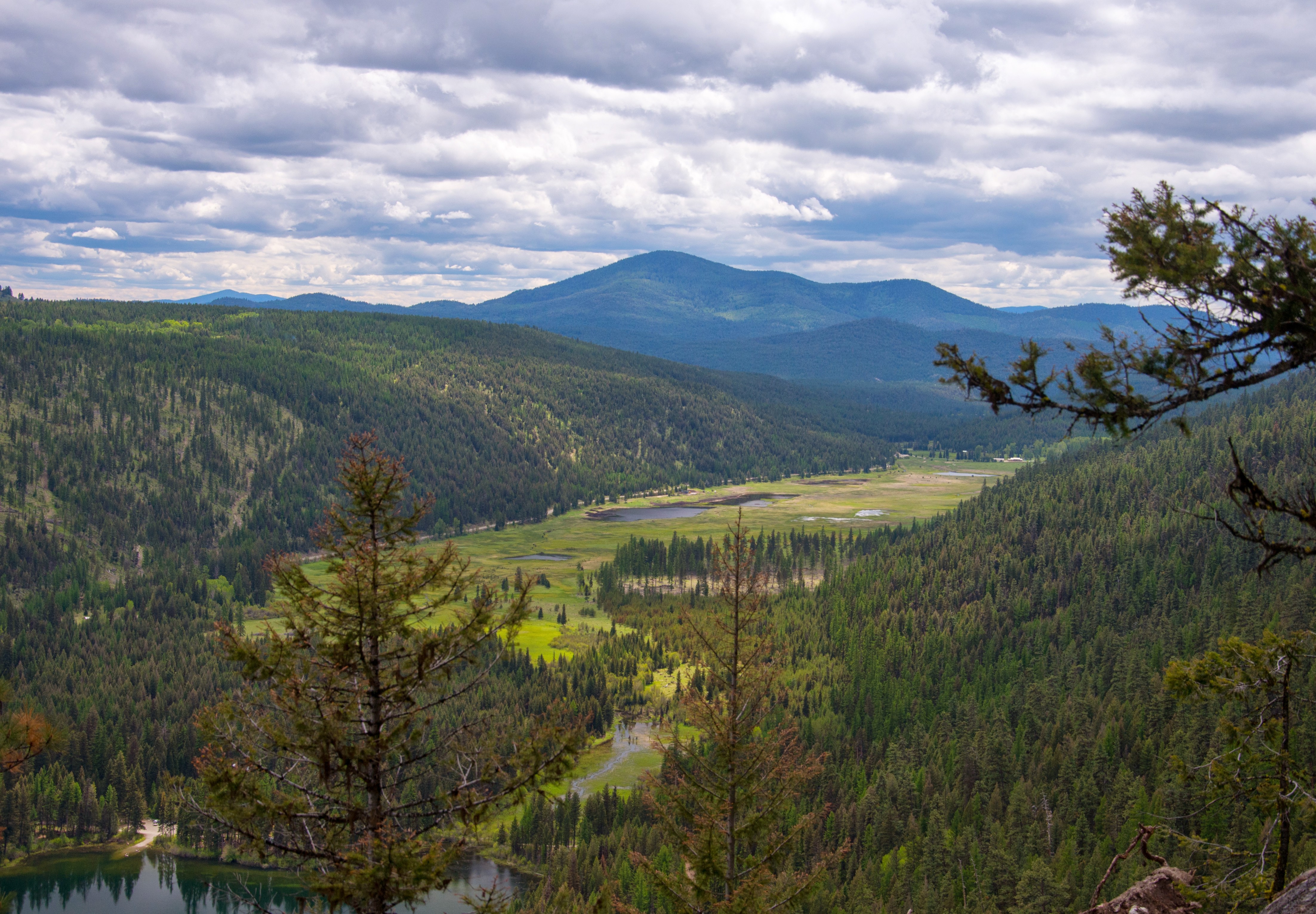
Bonaparte Lake and marshland from the Pacific Northwest Trail

Bonaparte Lake panorama from the Pacific Northwest Trail

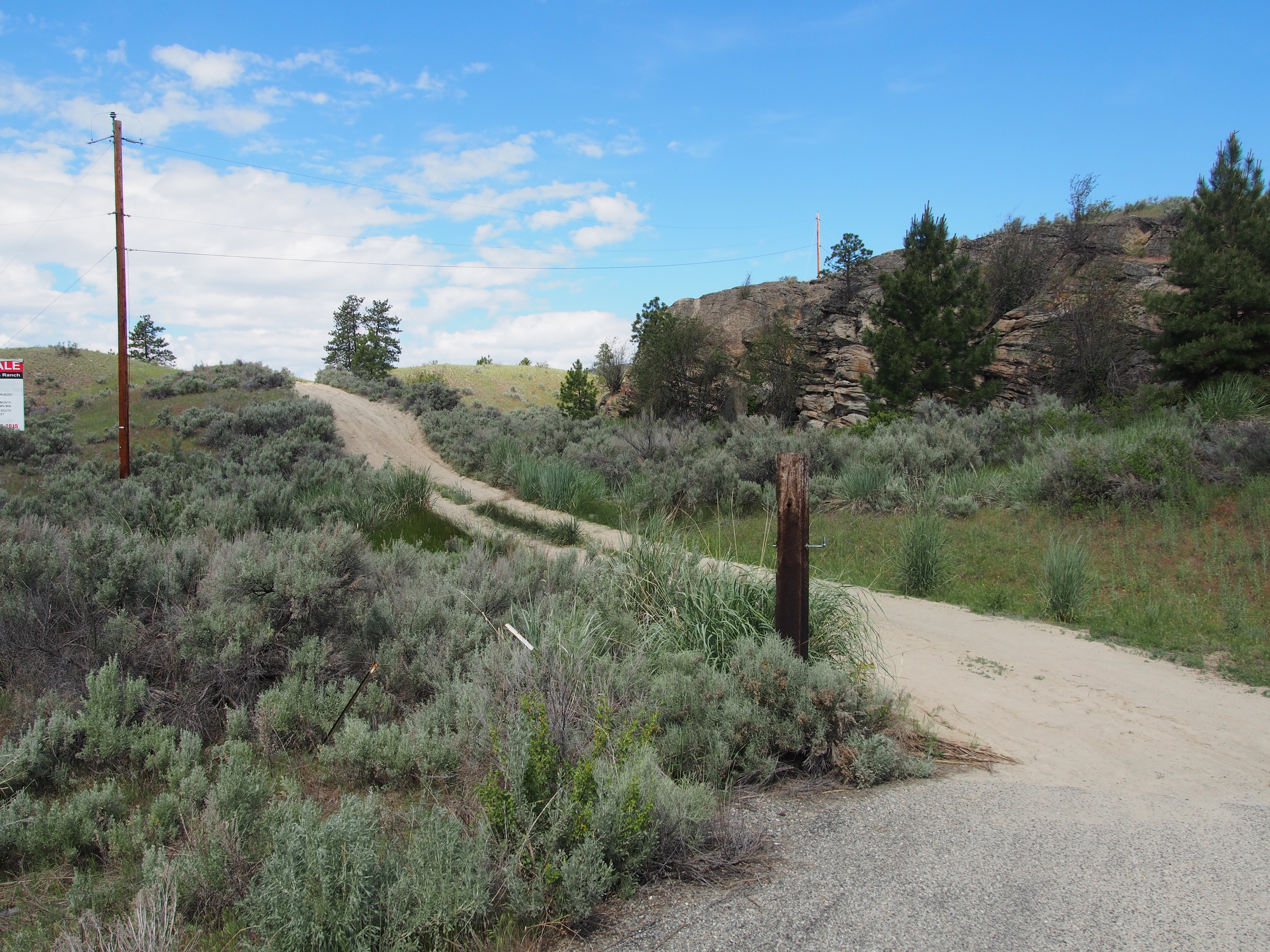
Aeneas Valley Road near Highway 20
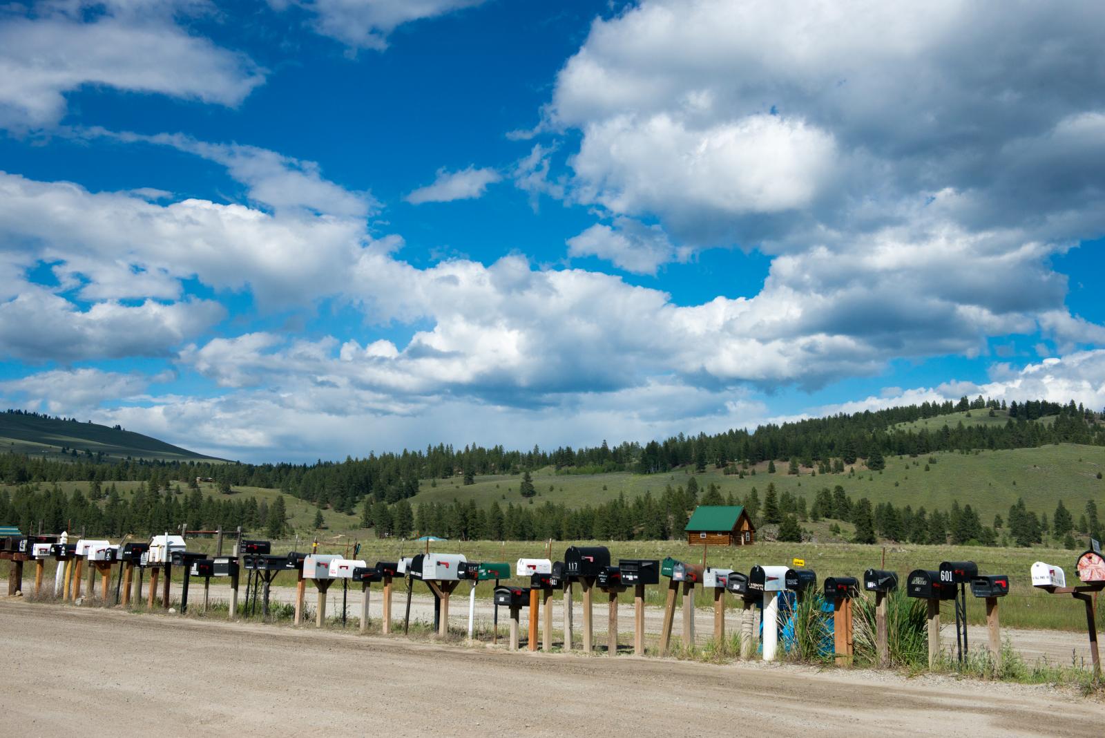
long row of mailboxes on Aeneas Valley Road
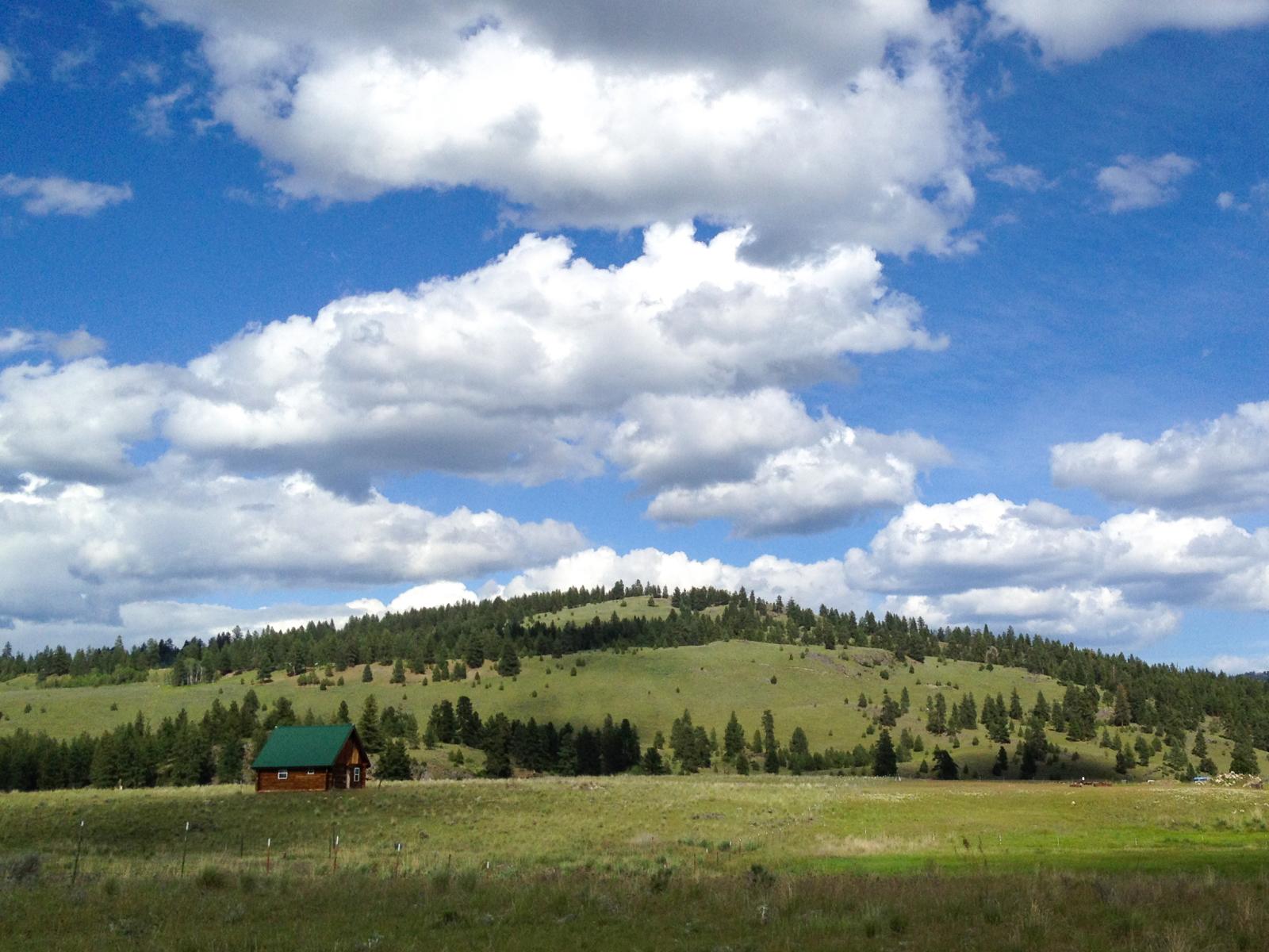
Ranch near Aeneas, Washington
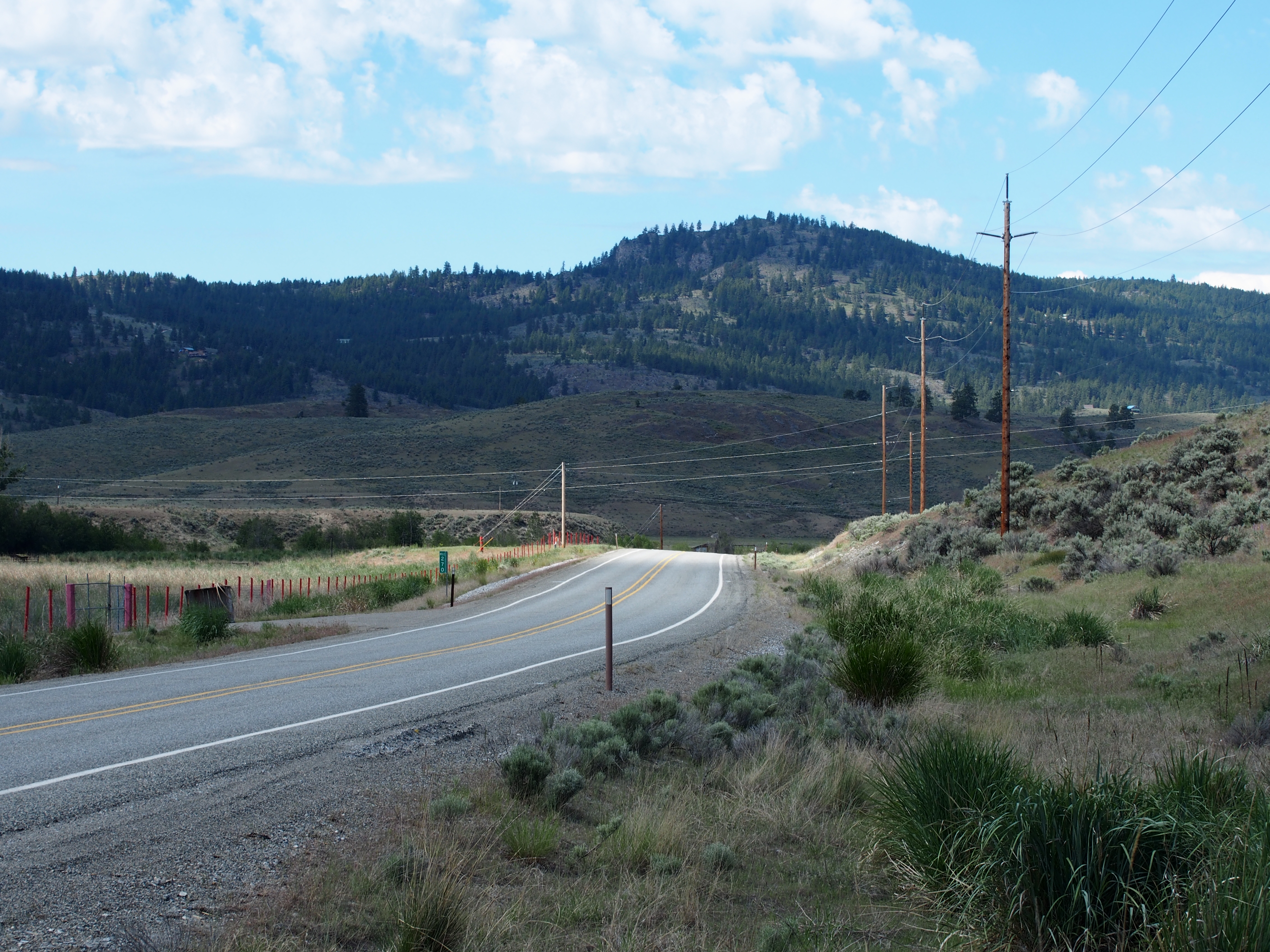
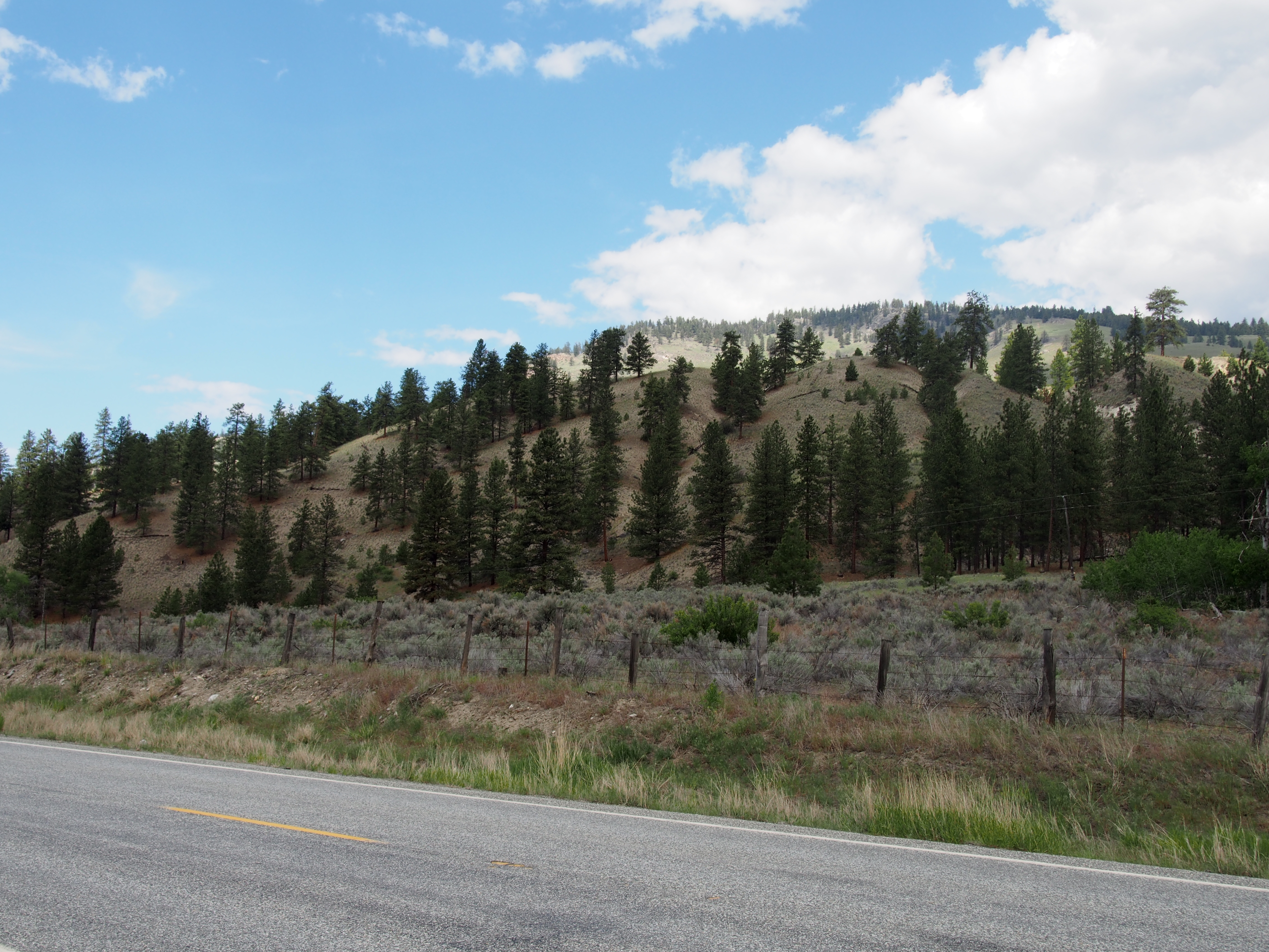
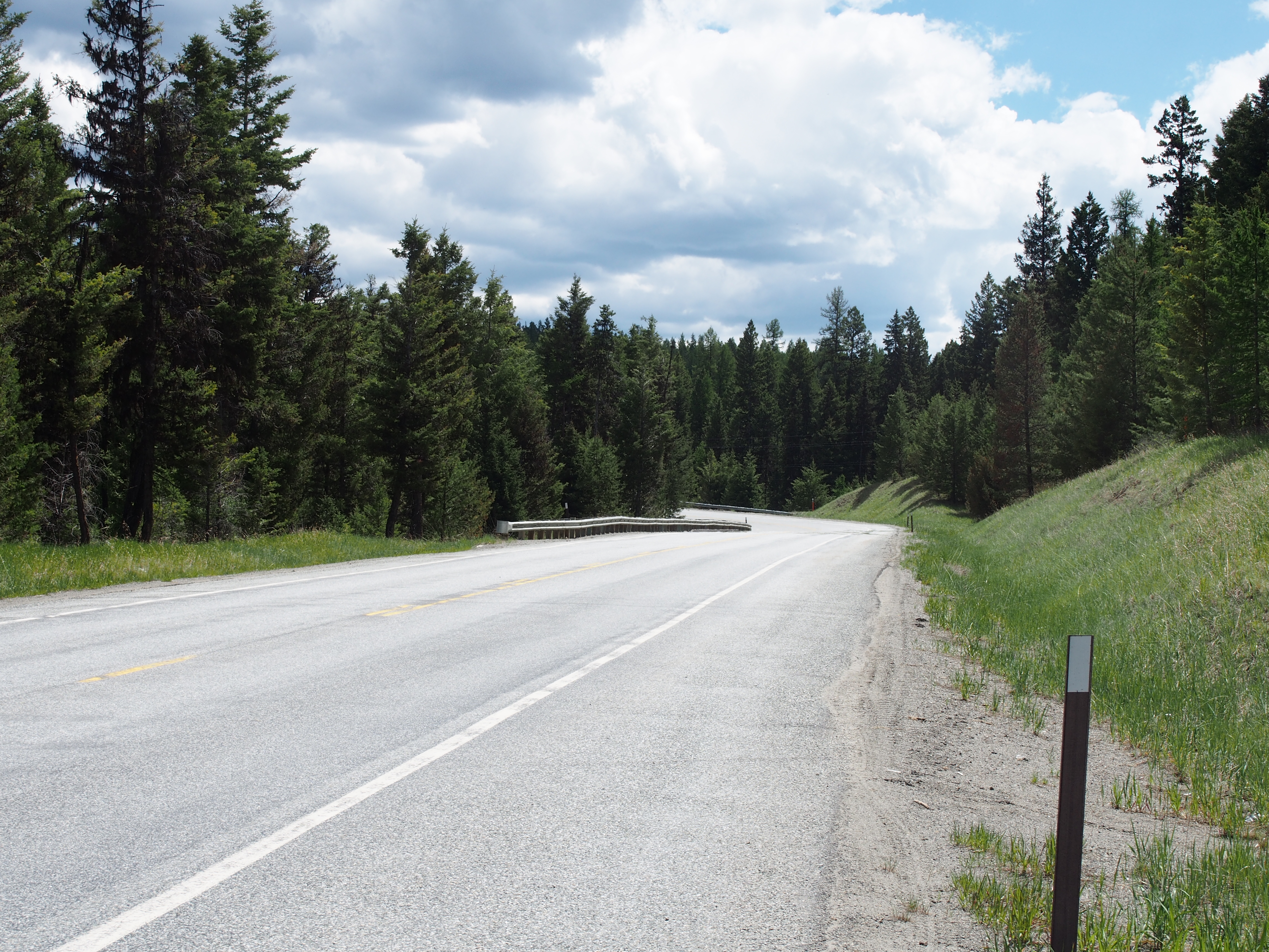
SR-20
P2015-05-21 10.58.24

P2015-05-21 10.58.29
P2015-05-21 11.51.58
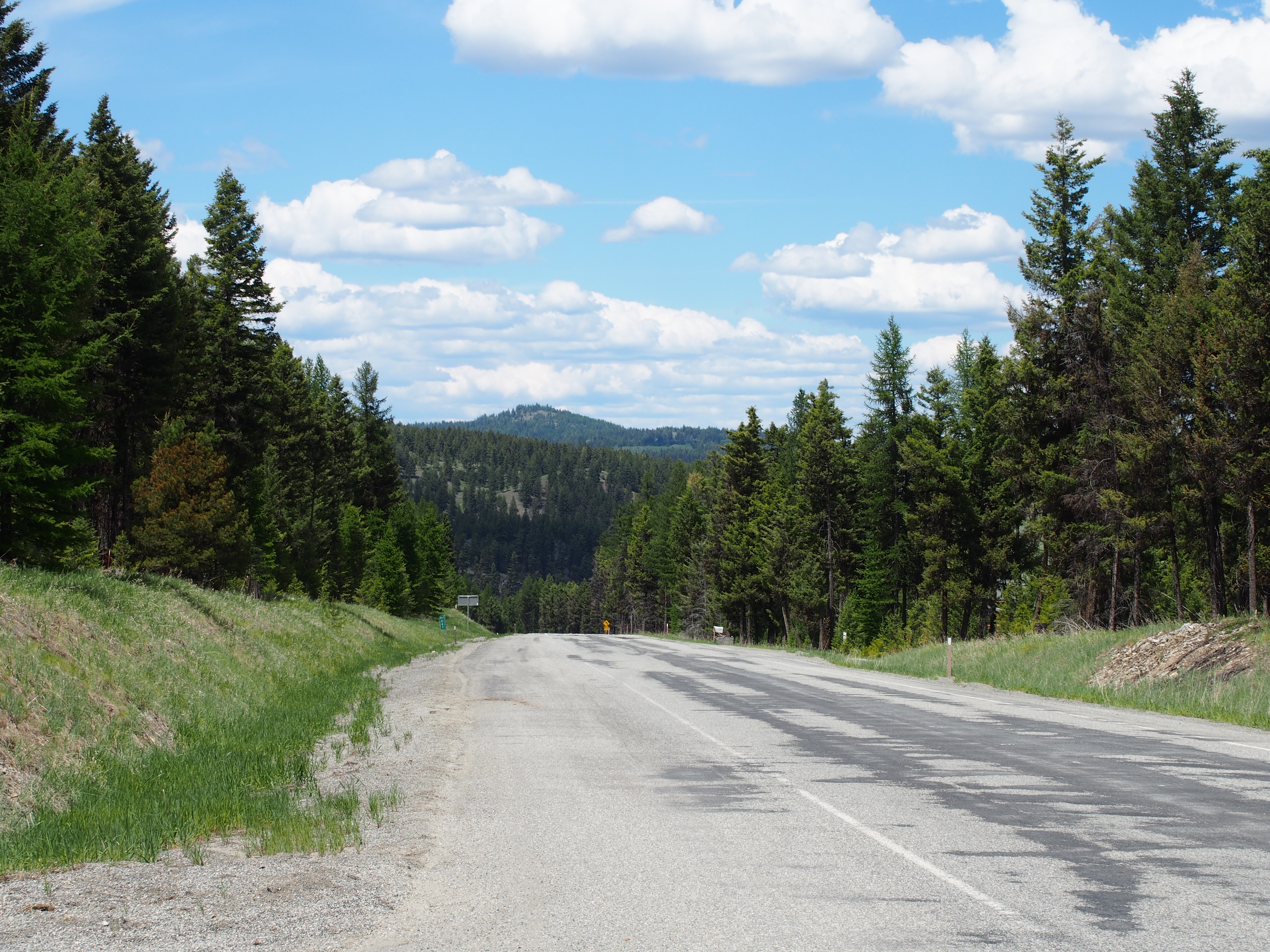
SR-20
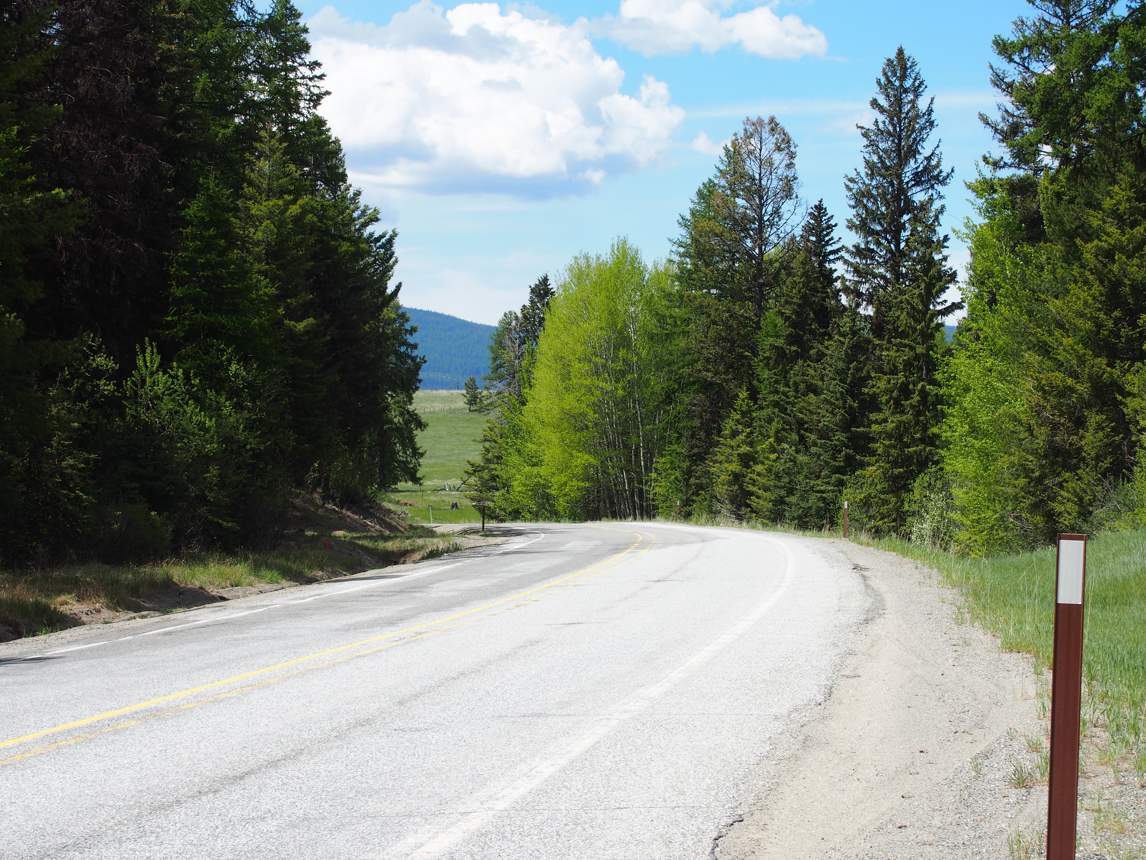
SR-20

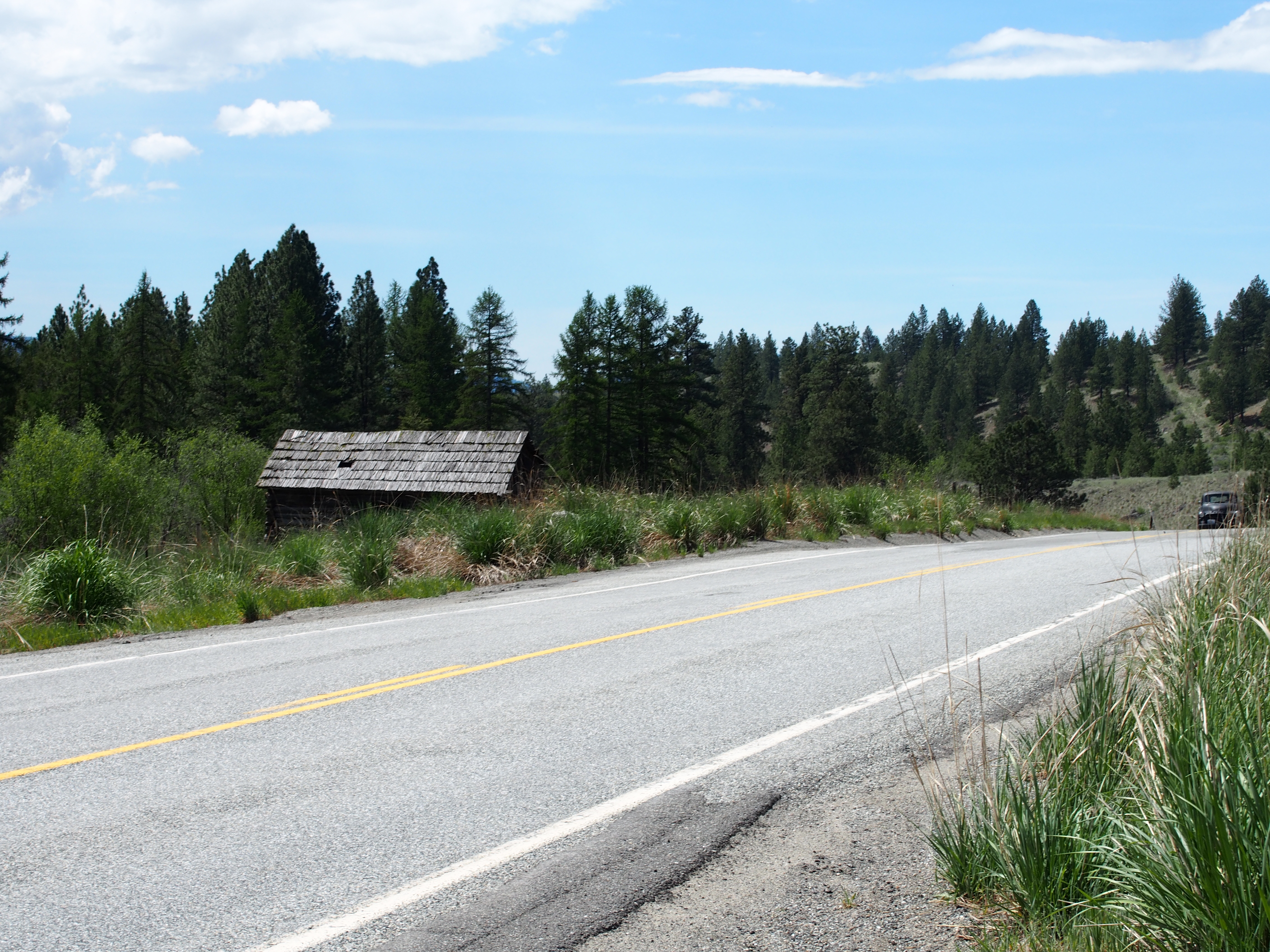
Wauconda Store
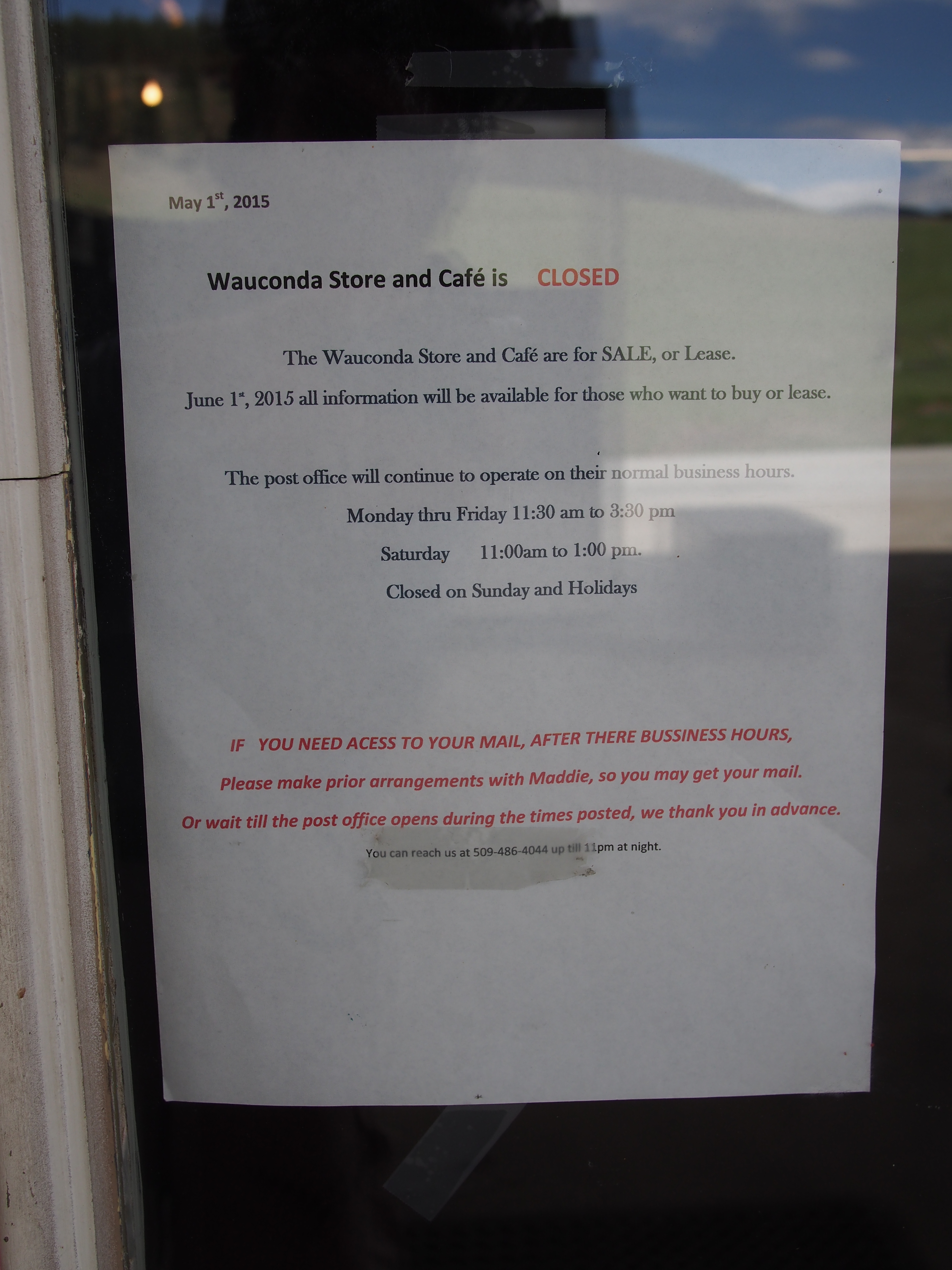
Wauconda Store Closure
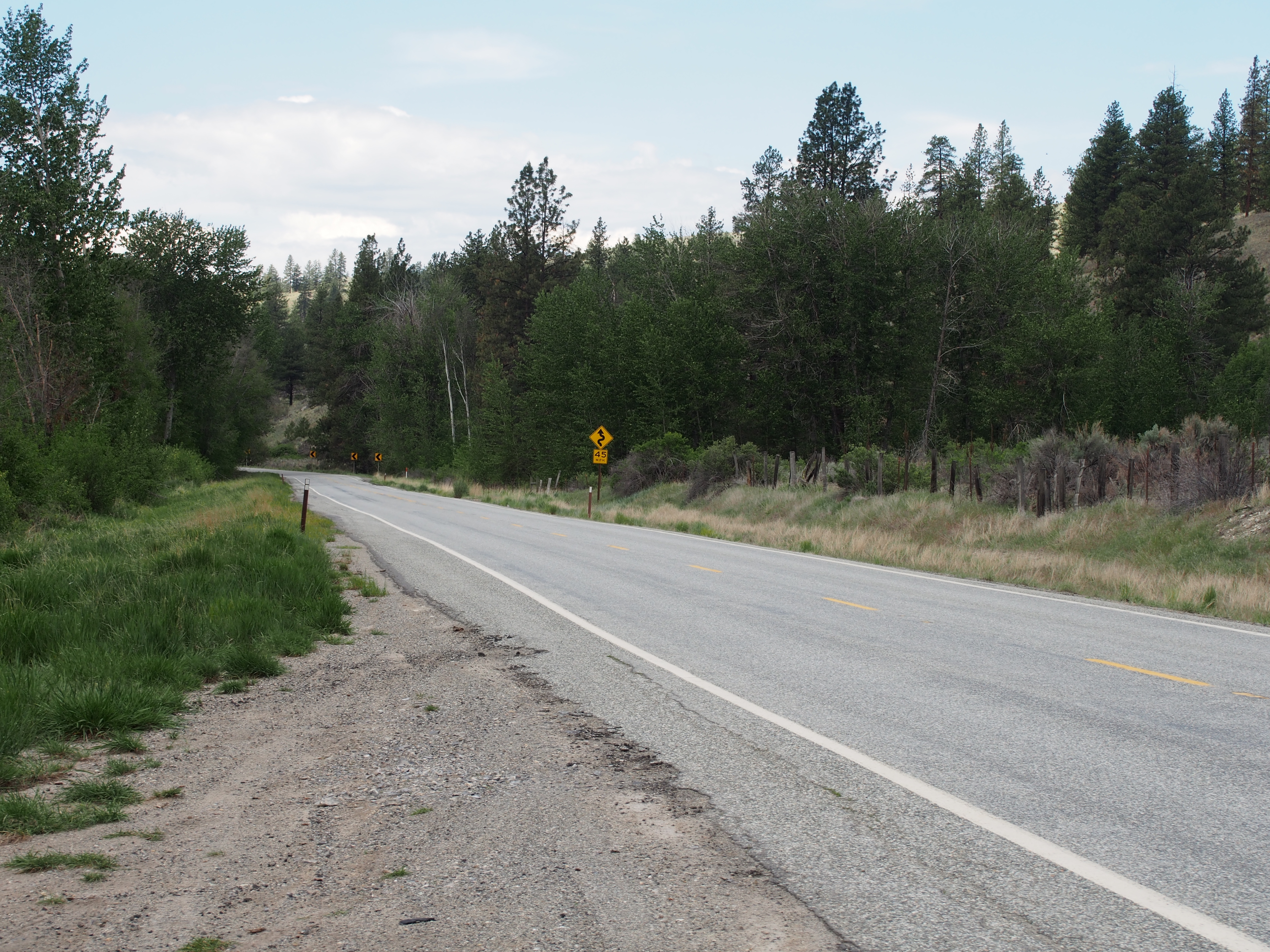
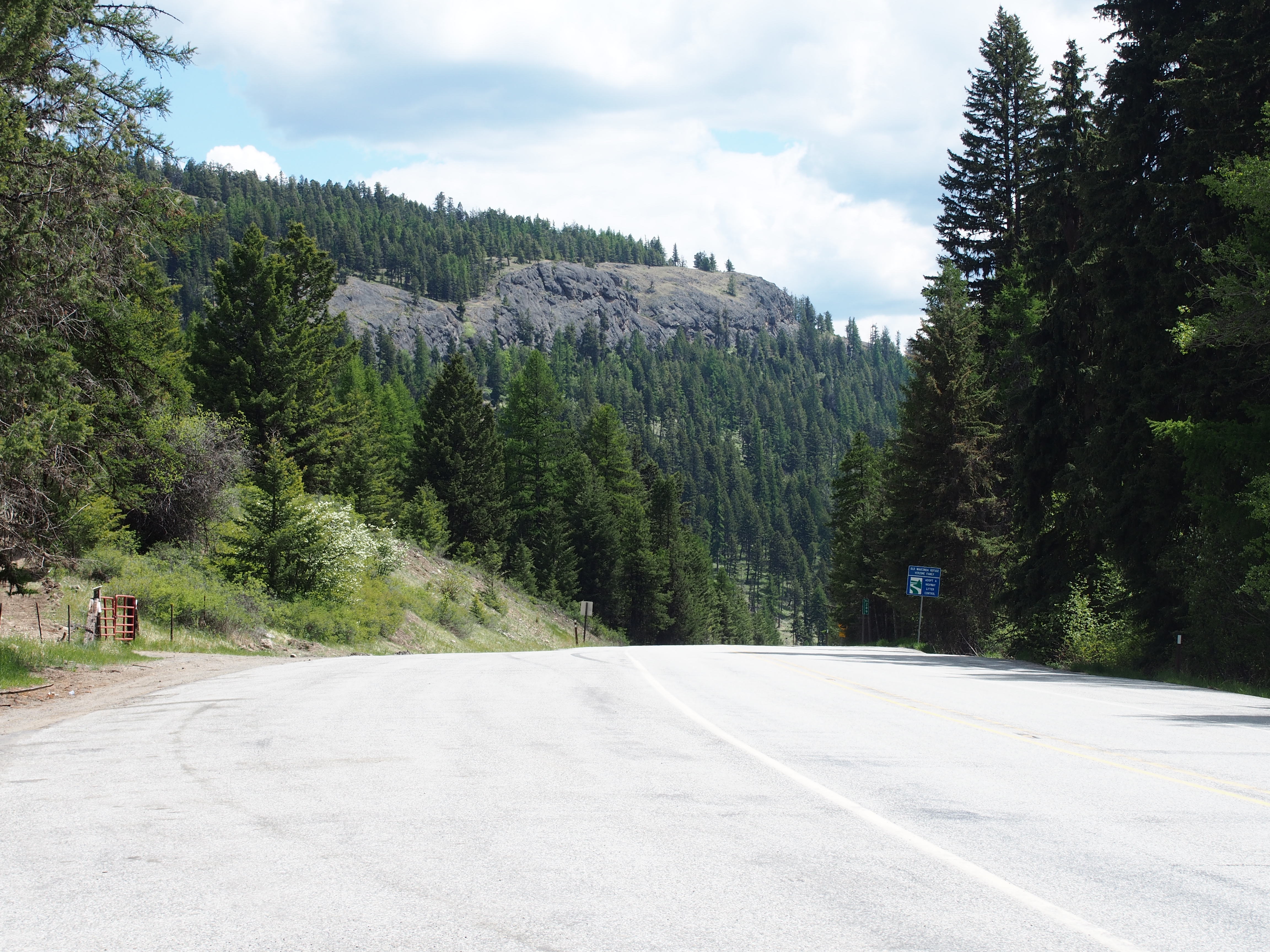
SR-20
SR-20 at Wauconda Pass
SR-20 at Wauconda Pass

P2015-05-21 13.50.47
SR-20

Looking down Bonaparte Creek from the Pacific Northwest Trail just above Bonaparte Lake
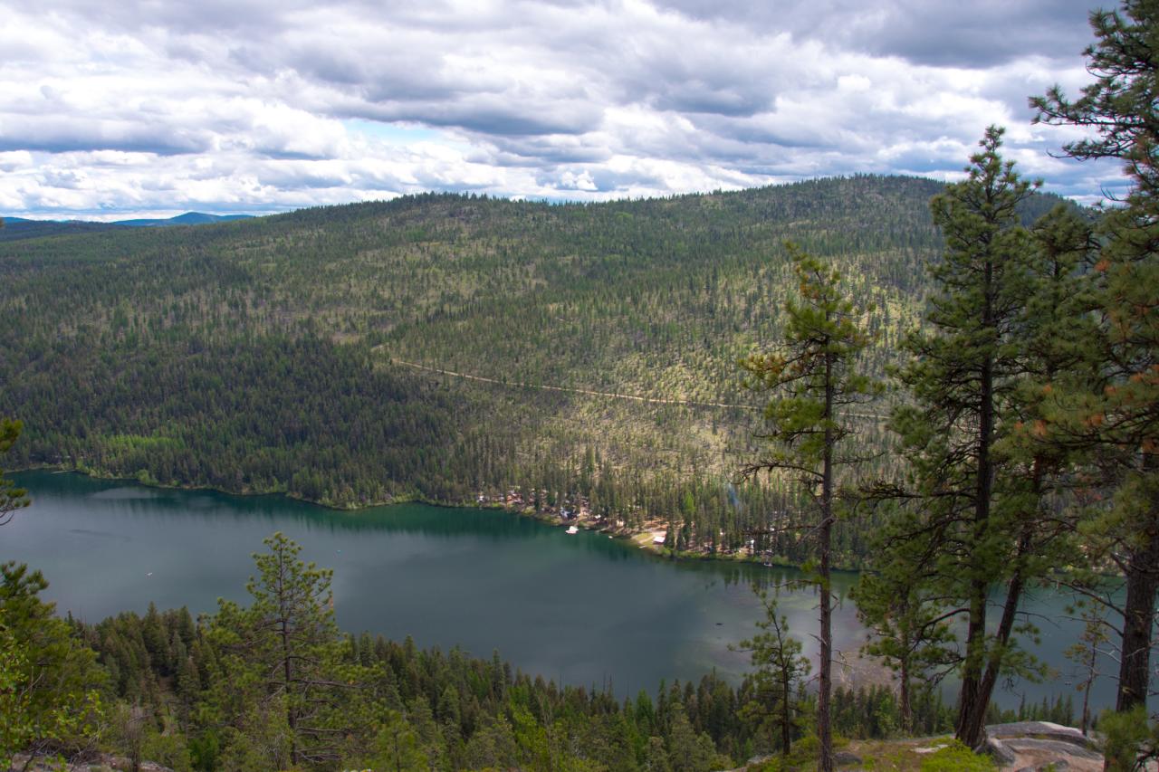
Bonaparte Lake and the Bonaparte Lake Resort from the Pacific Northwest Trail

Looking down at Bonaparte Lake from the Pacific Northwest Trail on the eastern slope of Mt. Bonaparte
Highvalley Road, Highvalley Rd, Washington, USA Map
Search another place
Near Places
Big Boulder Ln, Tonasket, WA, USA
Big Boulder Lane, Big Boulder Ln, Washington, USA
16 Breezy Ln, Tonasket, WA, USA
Neil Cir S Rd, Tonasket, WA, USA
High Country Dr W, Tonasket, WA, USA
Neil Cir S Rd, Tonasket, WA, USA
48 Long Lake Ln, Tonasket, WA, USA
Neil Canyon Road, Neil Canyon Rd, Tonasket, WA, USA
Aeneas Valley, Washington, USA
Aeneas Valley Rd, Tonasket, WA, USA
Main Road, Main Rd, Washington, USA
Wauconda, WA, USA
WA-20, Wauconda, WA, USA
Badger Road, Badger Rd, Washington, USA
Bonaparte Lake Campground, Tonasket, WA, USA
Bench Creek Rd, Tonasket, WA, USA
WA-20, Wauconda, WA, USA
3 Blue Star Ln, Tonasket, WA, USA
50 Bailey Meadows Rd, Tonasket, WA, USA
47 Bailey Meadows Rd, Tonasket, WA, USA
Recent Searches
- Sunrise Sunset Times of Red Dog Mine, AK, USA
- Sunrise Sunset Times of Am Bahnhof, Am bhf, Borken, Germany
- Sunrise Sunset Times of 4th St E, Sonoma, CA, USA
- Sunrise Sunset Times of Oakland Ave, Williamsport, PA, USA
- Sunrise Sunset Times of Via Roma, Pieranica CR, Italy
- Sunrise Sunset Times of Clock Tower of Dubrovnik, Grad, Dubrovnik, Croatia
- Sunrise Sunset Times of Trelew, Chubut Province, Argentina
- Sunrise Sunset Times of Hartfords Bluff Cir, Mt Pleasant, SC, USA
- Sunrise Sunset Times of Kita Ward, Kumamoto, Japan
- Sunrise Sunset Times of Pingtan Island, Pingtan County, Fuzhou, China