時區:太平洋標準時間
當地時間:2026年11月16日星期一 20:48
經度:-118.633455
緯度:35.825843
今天日出時間:06:33:06
今天日落時間:16:48:23
今天日照時長:10h 15m 16s
明天日出時間:06:34:07
明天日落時間:16:47:47
明天日照時長:10h 13m 39s

: 顯示所有日期

日期 日出 日落 日照時長
2026年1月1日 07:05:45 16:51:53 9h 46m 7s
2026年2月1日 06:56:53 17:21:34 10h 24m 40s
2026年3月1日 06:27:21 17:49:43 11h 22m 21s
2026年4月1日 06:43:28 19:16:10 12h 32m 42s
2026年5月1日 06:04:31 19:41:20 13h 36m 48s
2026年6月1日 05:41:26 20:05:57 14h 24m 31s
2026年7月1日 05:42:41 20:16:02 14h 33m 20s
2026年8月1日 06:02:40 20:01:35 13h 58m 55s
2026年9月1日 06:27:10 19:25:33 12h 58m 23s
2026年10月1日 06:49:53 18:41:34 11h 51m 40s
2026年11月1日 07:17:02 18:01:42 10h 44m 39s
2026年11月17日 06:33:06 16:48:23 10h 15m 16s
2026年11月18日 06:34:07 16:47:47 10h 13m 39s
2026年12月1日 06:46:48 16:42:39 9h 55m 51s

日出日落照片

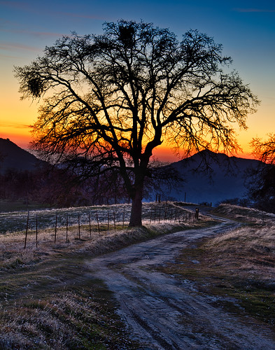
Foothill Road Sunset by wyojones, Sunset in the Sierra Nevada foothills as seen from Mountain Road 56 (M-56) between Fountain Springs
Foothill Road Sunset by wyojones
Sunset Tree by wyojones, This tree stands near the intersection of Woody Granite Road and CA State Highway 155 in the little
Sunset Tree by wyojones
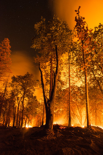
20160824-FS-LSC-1330 by USDAgov, Stars shine through breaks in the smoke from the Cedar Fire in and near the U.S. Department of Agric
20160824-FS-LSC-1330 by USDAgov
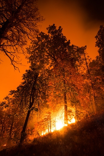
20160824-FS-LSC-1348 by USDAgov, Cedar Fire in and near the U.S. Department of Agriculture (USDA) Forest Service (FS) Sequoia Nationa
20160824-FS-LSC-1348 by USDAgov
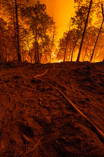
20160824-FS-LSC-1346 by USDAgov, Cedar Fire wildland firefighters have set out a hand (water) line on the edge of a bulldozed fire br
20160824-FS-LSC-1346 by USDAgov
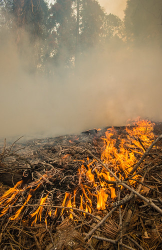
20160824-FS-LSC-1349 by USDAgov, Cedar Fire in and near the U.S. Department of Agriculture (USDA) Forest Service (FS) Sequoia Nationa
20160824-FS-LSC-1349 by USDAgov
Foothill Sunset by wyojones, Sunset in the Sierra Nevada foothills as seen from Mountain Road M-56 between Fountain Springs and C
Foothill Sunset by wyojones
20160824-FS-LSC-0519 by USDAgov, Cedar Fire in Sugarloaf Mountain Park and near the U.S. Department of Agriculture (USDA) Forest Serv
20160824-FS-LSC-0519 by USDAgov
The Tree by M-Kuhns, A tree in the Sierra foothills last weekend.  A mile past the road closed sign, glad we kept going!
The Tree by M-Kuhns
California Hot Springs/ Trail of 100 Giants Thanksgiving by reverendlukewarm, Leavis Flat.redwood sunset sierranevada tularecounty camping road trip leaves leavis flat
California Hot Springs/ Trail of 100 Giants Thanksgiving by reverendlukewarm
Moon and Venus at sunset. by tbird0322, Two second exposure.astronomy
Moon and Venus at sunset. by tbird0322
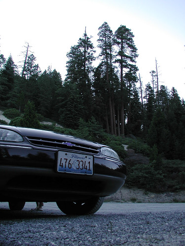
Early mountain night by selkovjr, This car has feet.

The last stop of the day, after seven hours of driving and 220 miles. Setting up
Early mountain night by selkovjr
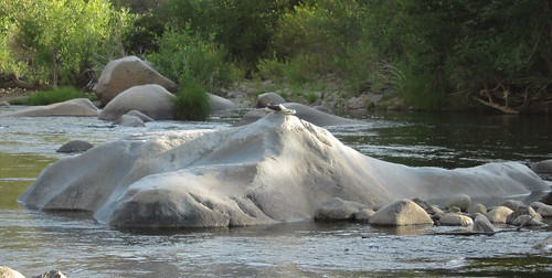
Kern River (3335) by DB's travels, Sunset on the Kern River north of Kernville.california nationalforest nfs sequoianationalforest kern
Kern River (3335) by DB's travels
Kern River  (3334) by DB's travels, Sunset on the Kern River north of Kernville.california nationalforest nfs sequoianationalforest kern
Kern River (3334) by DB's travels
Kern River (or, tennis shoe) (3336) by DB's travels, Sunset on the Kern River north of Kernville.california nationalforest nfs sequoianationalforest kern
Kern River (or, tennis shoe) (3336) by DB's travels
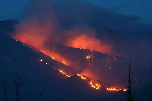
0603-205120 by yourmap, fire california mountains night wildfire
0603-205120 by yourmap
Sunset at Pine Flat by tbird0322,
Sunset at Pine Flat by tbird0322
USA Trip 2013 - Los Angeles ... San Francisco ... Las Vegas by Jürgen Hendrik, Sunset
USA Trip 2013 - Los Angeles ... San Francisco ... Las Vegas by Jürgen Hendrik
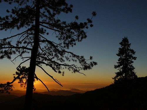
Atardecer en Sequolas National Park by velezbolio, Sequolas Park, Cal.eduardo
Atardecer en Sequolas National Park by velezbolio
IMG_3648 by AndyNoise.Com,
IMG_3648 by AndyNoise.Com