| Zona horaria: | hora estándar del Pacífico |
|---|---|
| Hora local: | martes, 10 de noviembre de 2026 9:39 |
| Longitud: | -118.633455 |
| Latitud: | 35.825843 |
| Amanecer hoy: | 6:27:01 |
| Atardecer hoy: | 16:52:36 |
| Horas de luz hoy: | 10h 25m 35s |
| Amanecer mañana: | 6:28:02 |
| Atardecer mañana: | 16:51:50 |
| Horas de luz mañana: | 10h 23m 48s |
: Mostrar todas las fechas
| Fecha | Salida de sol | Puesta de sol | Duración del día |
|---|---|---|---|
| 1 de ene. de 2026 | 7:05:45 | 16:51:53 | 9h 46m 7s |
| 1 de feb. de 2026 | 6:56:53 | 17:21:34 | 10h 24m 40s |
| 1 de mar. de 2026 | 6:27:21 | 17:49:43 | 11h 22m 21s |
| 1 de abr. de 2026 | 6:43:28 | 19:16:10 | 12h 32m 42s |
| 1 de may. de 2026 | 6:04:31 | 19:41:20 | 13h 36m 48s |
| 1 de jun. de 2026 | 5:41:26 | 20:05:57 | 14h 24m 31s |
| 1 de jul. de 2026 | 5:42:41 | 20:16:02 | 14h 33m 20s |
| 1 de ago. de 2026 | 6:02:40 | 20:01:35 | 13h 58m 55s |
| 1 de sep. de 2026 | 6:27:10 | 19:25:33 | 12h 58m 23s |
| 1 de oct. de 2026 | 6:49:53 | 18:41:34 | 11h 51m 40s |
| 1 de nov. de 2026 | 7:17:02 | 18:01:42 | 10h 44m 39s |
| 11 de nov. de 2026 | 6:27:01 | 16:52:36 | 10h 25m 35s |
| 12 de nov. de 2026 | 6:28:02 | 16:51:50 | 10h 23m 48s |
| 1 de dic. de 2026 | 6:46:48 | 16:42:39 | 9h 55m 51s |
Fotos de amanecer y atardecer

Foothill Road Sunset by wyojones

Sunset Tree by wyojones
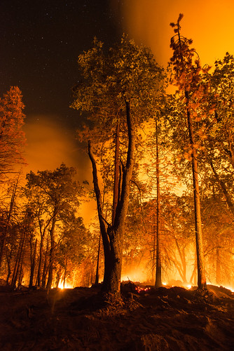
20160824-FS-LSC-1330 by USDAgov
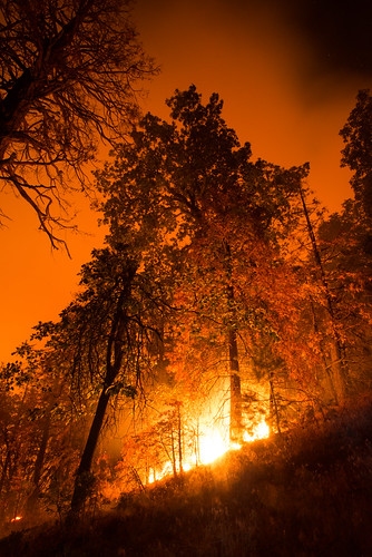
20160824-FS-LSC-1348 by USDAgov
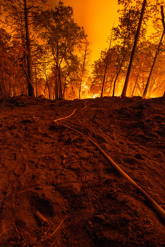
20160824-FS-LSC-1346 by USDAgov

20160824-FS-LSC-1349 by USDAgov

Foothill Sunset by wyojones
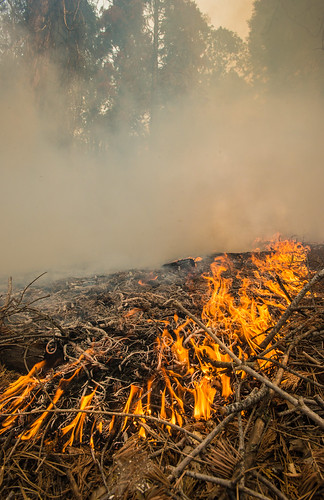
20160824-FS-LSC-0519 by USDAgov
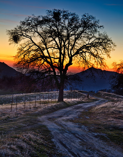
The Tree by M-Kuhns
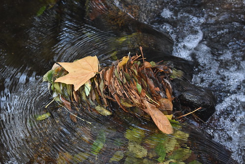
California Hot Springs/ Trail of 100 Giants Thanksgiving by reverendlukewarm

Moon and Venus at sunset. by tbird0322
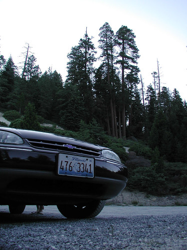
Early mountain night by selkovjr

Kern River (3335) by DB's travels

Kern River (3334) by DB's travels
Kern River (or, tennis shoe) (3336) by DB's travels
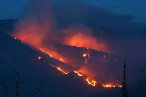
0603-205120 by yourmap

Sunset at Pine Flat by tbird0322

USA Trip 2013 - Los Angeles ... San Francisco ... Las Vegas by Jürgen Hendrik
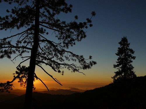
Atardecer en Sequolas National Park by velezbolio

IMG_3648 by AndyNoise.Com