15, Indian Spring, MD, 美國的日出日落時間表
Location: 美國 > 馬里蘭州 > 華盛頓縣 >
時區:
America/New_York
當地時間:
2025-06-29 19:53:33
經度:
-77.9967043
緯度:
39.6648462
今天日出時間:
05:47:48 AM
今天日落時間:
08:43:50 PM
今天日照時長:
14h 56m 2s
明天日出時間:
05:48:18 AM
明天日落時間:
08:43:43 PM
明天日照時長:
14h 55m 25s
顯示所有日期
| 日期 | 日出 | 日落 | 日照時長 |
|---|---|---|---|
| 2025年01月01日 | 07:32:52 AM | 04:59:20 PM | 9h 26m 28s |
| 2025年01月02日 | 07:32:55 AM | 05:00:11 PM | 9h 27m 16s |
| 2025年01月03日 | 07:32:57 AM | 05:01:04 PM | 9h 28m 7s |
| 2025年01月04日 | 07:32:56 AM | 05:01:59 PM | 9h 29m 3s |
| 2025年01月05日 | 07:32:53 AM | 05:02:54 PM | 9h 30m 1s |
| 2025年01月06日 | 07:32:48 AM | 05:03:51 PM | 9h 31m 3s |
| 2025年01月07日 | 07:32:41 AM | 05:04:49 PM | 9h 32m 8s |
| 2025年01月08日 | 07:32:32 AM | 05:05:48 PM | 9h 33m 16s |
| 2025年01月09日 | 07:32:20 AM | 05:06:49 PM | 9h 34m 29s |
| 2025年01月10日 | 07:32:06 AM | 05:07:50 PM | 9h 35m 44s |
| 2025年01月11日 | 07:31:50 AM | 05:08:52 PM | 9h 37m 2s |
| 2025年01月12日 | 07:31:32 AM | 05:09:55 PM | 9h 38m 23s |
| 2025年01月13日 | 07:31:12 AM | 05:10:59 PM | 9h 39m 47s |
| 2025年01月14日 | 07:30:49 AM | 05:12:04 PM | 9h 41m 15s |
| 2025年01月15日 | 07:30:25 AM | 05:13:10 PM | 9h 42m 45s |
| 2025年01月16日 | 07:29:58 AM | 05:14:16 PM | 9h 44m 18s |
| 2025年01月17日 | 07:29:29 AM | 05:15:23 PM | 9h 45m 54s |
| 2025年01月18日 | 07:28:59 AM | 05:16:31 PM | 9h 47m 32s |
| 2025年01月19日 | 07:28:26 AM | 05:17:39 PM | 9h 49m 13s |
| 2025年01月20日 | 07:27:51 AM | 05:18:48 PM | 9h 50m 57s |
| 2025年01月21日 | 07:27:14 AM | 05:19:57 PM | 9h 52m 43s |
| 2025年01月22日 | 07:26:35 AM | 05:21:06 PM | 9h 54m 31s |
| 2025年01月23日 | 07:25:55 AM | 05:22:16 PM | 9h 56m 21s |
| 2025年01月24日 | 07:25:12 AM | 05:23:26 PM | 9h 58m 14s |
| 2025年01月25日 | 07:24:28 AM | 05:24:37 PM | 10h 0m 9s |
| 2025年01月26日 | 07:23:41 AM | 05:25:48 PM | 10h 2m 7s |
| 2025年01月27日 | 07:22:53 AM | 05:26:59 PM | 10h 4m 6s |
| 2025年01月28日 | 07:22:03 AM | 05:28:10 PM | 10h 6m 7s |
| 2025年01月29日 | 07:21:12 AM | 05:29:21 PM | 10h 8m 9s |
| 2025年01月30日 | 07:20:18 AM | 05:30:32 PM | 10h 10m 14s |
| 2025年01月31日 | 07:19:23 AM | 05:31:44 PM | 10h 12m 21s |
| 2025年02月01日 | 07:18:26 AM | 05:32:55 PM | 10h 14m 29s |
| 2025年02月02日 | 07:17:28 AM | 05:34:07 PM | 10h 16m 39s |
| 2025年02月03日 | 07:16:28 AM | 05:35:18 PM | 10h 18m 50s |
| 2025年02月04日 | 07:15:26 AM | 05:36:29 PM | 10h 21m 3s |
| 2025年02月05日 | 07:14:23 AM | 05:37:41 PM | 10h 23m 18s |
| 2025年02月06日 | 07:13:19 AM | 05:38:52 PM | 10h 25m 33s |
| 2025年02月07日 | 07:12:12 AM | 05:40:03 PM | 10h 27m 51s |
| 2025年02月08日 | 07:11:05 AM | 05:41:14 PM | 10h 30m 9s |
| 2025年02月09日 | 07:09:56 AM | 05:42:25 PM | 10h 32m 29s |
| 2025年02月10日 | 07:08:46 AM | 05:43:35 PM | 10h 34m 49s |
| 2025年02月11日 | 07:07:34 AM | 05:44:45 PM | 10h 37m 11s |
| 2025年02月12日 | 07:06:22 AM | 05:45:55 PM | 10h 39m 33s |
| 2025年02月13日 | 07:05:08 AM | 05:47:05 PM | 10h 41m 57s |
| 2025年02月14日 | 07:03:52 AM | 05:48:15 PM | 10h 44m 23s |
| 2025年02月15日 | 07:02:36 AM | 05:49:24 PM | 10h 46m 48s |
| 2025年02月16日 | 07:01:18 AM | 05:50:33 PM | 10h 49m 15s |
| 2025年02月17日 | 07:00:00 AM | 05:51:42 PM | 10h 51m 42s |
| 2025年02月18日 | 06:58:40 AM | 05:52:51 PM | 10h 54m 11s |
| 2025年02月19日 | 06:57:19 AM | 05:53:59 PM | 10h 56m 40s |
| 2025年02月20日 | 06:55:57 AM | 05:55:07 PM | 10h 59m 10s |
| 2025年02月21日 | 06:54:35 AM | 05:56:14 PM | 11h 1m 39s |
| 2025年02月22日 | 06:53:11 AM | 05:57:22 PM | 11h 4m 11s |
| 2025年02月23日 | 06:51:46 AM | 05:58:29 PM | 11h 6m 43s |
| 2025年02月24日 | 06:50:21 AM | 05:59:35 PM | 11h 9m 14s |
| 2025年02月25日 | 06:48:55 AM | 06:00:42 PM | 11h 11m 47s |
| 2025年02月26日 | 06:47:28 AM | 06:01:48 PM | 11h 14m 20s |
| 2025年02月27日 | 06:46:00 AM | 06:02:54 PM | 11h 16m 54s |
| 2025年02月28日 | 06:44:31 AM | 06:03:59 PM | 11h 19m 28s |
| 2025年03月01日 | 06:43:02 AM | 06:05:04 PM | 11h 22m 2s |
| 2025年03月02日 | 06:41:32 AM | 06:06:09 PM | 11h 24m 37s |
| 2025年03月03日 | 06:40:02 AM | 06:07:14 PM | 11h 27m 12s |
| 2025年03月04日 | 06:38:30 AM | 06:08:18 PM | 11h 29m 48s |
| 2025年03月05日 | 06:36:59 AM | 06:09:22 PM | 11h 32m 23s |
| 2025年03月06日 | 06:35:26 AM | 06:10:26 PM | 11h 35m 0s |
| 2025年03月07日 | 06:33:54 AM | 06:11:29 PM | 11h 37m 35s |
| 2025年03月08日 | 06:32:21 AM | 06:12:32 PM | 11h 40m 11s |
| 2025年03月09日 | 07:30:51 AM | 07:13:33 PM | 11h 42m 42s |
| 2025年03月10日 | 07:29:17 AM | 07:14:36 PM | 11h 45m 19s |
| 2025年03月11日 | 07:27:42 AM | 07:15:38 PM | 11h 47m 56s |
| 2025年03月12日 | 07:26:08 AM | 07:16:40 PM | 11h 50m 32s |
| 2025年03月13日 | 07:24:32 AM | 07:17:42 PM | 11h 53m 10s |
| 2025年03月14日 | 07:22:57 AM | 07:18:44 PM | 11h 55m 47s |
| 2025年03月15日 | 07:21:21 AM | 07:19:46 PM | 11h 58m 25s |
| 2025年03月16日 | 07:19:46 AM | 07:20:47 PM | 12h 1m 1s |
| 2025年03月17日 | 07:18:10 AM | 07:21:49 PM | 12h 3m 39s |
| 2025年03月18日 | 07:16:33 AM | 07:22:50 PM | 12h 6m 17s |
| 2025年03月19日 | 07:14:57 AM | 07:23:51 PM | 12h 8m 54s |
| 2025年03月20日 | 07:13:21 AM | 07:24:52 PM | 12h 11m 31s |
| 2025年03月21日 | 07:11:44 AM | 07:25:52 PM | 12h 14m 8s |
| 2025年03月22日 | 07:10:08 AM | 07:26:53 PM | 12h 16m 45s |
| 2025年03月23日 | 07:08:31 AM | 07:27:53 PM | 12h 19m 22s |
| 2025年03月24日 | 07:06:54 AM | 07:28:54 PM | 12h 22m 0s |
| 2025年03月25日 | 07:05:18 AM | 07:29:54 PM | 12h 24m 36s |
| 2025年03月26日 | 07:03:42 AM | 07:30:54 PM | 12h 27m 12s |
| 2025年03月27日 | 07:02:05 AM | 07:31:54 PM | 12h 29m 49s |
| 2025年03月28日 | 07:00:29 AM | 07:32:54 PM | 12h 32m 25s |
| 2025年03月29日 | 06:58:53 AM | 07:33:54 PM | 12h 35m 1s |
| 2025年03月30日 | 06:57:17 AM | 07:34:54 PM | 12h 37m 37s |
| 2025年03月31日 | 06:55:42 AM | 07:35:54 PM | 12h 40m 12s |
| 2025年04月01日 | 06:54:07 AM | 07:36:54 PM | 12h 42m 47s |
| 2025年04月02日 | 06:52:32 AM | 07:37:54 PM | 12h 45m 22s |
| 2025年04月03日 | 06:50:57 AM | 07:38:53 PM | 12h 47m 56s |
| 2025年04月04日 | 06:49:23 AM | 07:39:53 PM | 12h 50m 30s |
| 2025年04月05日 | 06:47:49 AM | 07:40:53 PM | 12h 53m 4s |
| 2025年04月06日 | 06:46:15 AM | 07:41:53 PM | 12h 55m 38s |
| 2025年04月07日 | 06:44:42 AM | 07:42:53 PM | 12h 58m 11s |
| 2025年04月08日 | 06:43:10 AM | 07:43:52 PM | 13h 0m 42s |
| 2025年04月09日 | 06:41:38 AM | 07:44:52 PM | 13h 3m 14s |
| 2025年04月10日 | 06:40:06 AM | 07:45:52 PM | 13h 5m 46s |
| 2025年04月11日 | 06:38:35 AM | 07:46:52 PM | 13h 8m 17s |
| 2025年04月12日 | 06:37:05 AM | 07:47:52 PM | 13h 10m 47s |
| 2025年04月13日 | 06:35:35 AM | 07:48:52 PM | 13h 13m 17s |
| 2025年04月14日 | 06:34:06 AM | 07:49:52 PM | 13h 15m 46s |
| 2025年04月15日 | 06:32:38 AM | 07:50:52 PM | 13h 18m 14s |
| 2025年04月16日 | 06:31:10 AM | 07:51:52 PM | 13h 20m 42s |
| 2025年04月17日 | 06:29:43 AM | 07:52:52 PM | 13h 23m 9s |
| 2025年04月18日 | 06:28:17 AM | 07:53:52 PM | 13h 25m 35s |
| 2025年04月19日 | 06:26:52 AM | 07:54:52 PM | 13h 28m 0s |
| 2025年04月20日 | 06:25:27 AM | 07:55:52 PM | 13h 30m 25s |
| 2025年04月21日 | 06:24:04 AM | 07:56:52 PM | 13h 32m 48s |
| 2025年04月22日 | 06:22:41 AM | 07:57:52 PM | 13h 35m 11s |
| 2025年04月23日 | 06:21:19 AM | 07:58:53 PM | 13h 37m 34s |
| 2025年04月24日 | 06:19:59 AM | 07:59:53 PM | 13h 39m 54s |
| 2025年04月25日 | 06:18:39 AM | 08:00:53 PM | 13h 42m 14s |
| 2025年04月26日 | 06:17:20 AM | 08:01:53 PM | 13h 44m 33s |
| 2025年04月27日 | 06:16:02 AM | 08:02:53 PM | 13h 46m 51s |
| 2025年04月28日 | 06:14:46 AM | 08:03:52 PM | 13h 49m 6s |
| 2025年04月29日 | 06:13:30 AM | 08:04:52 PM | 13h 51m 22s |
| 2025年04月30日 | 06:12:16 AM | 08:05:52 PM | 13h 53m 36s |
| 2025年05月01日 | 06:11:03 AM | 08:06:52 PM | 13h 55m 49s |
| 2025年05月02日 | 06:09:51 AM | 08:07:51 PM | 13h 58m 0s |
| 2025年05月03日 | 06:08:41 AM | 08:08:50 PM | 14h 0m 9s |
| 2025年05月04日 | 06:07:31 AM | 08:09:50 PM | 14h 2m 19s |
| 2025年05月05日 | 06:06:23 AM | 08:10:49 PM | 14h 4m 26s |
| 2025年05月06日 | 06:05:16 AM | 08:11:47 PM | 14h 6m 31s |
| 2025年05月07日 | 06:04:11 AM | 08:12:46 PM | 14h 8m 35s |
| 2025年05月08日 | 06:03:07 AM | 08:13:44 PM | 14h 10m 37s |
| 2025年05月09日 | 06:02:05 AM | 08:14:42 PM | 14h 12m 37s |
| 2025年05月10日 | 06:01:04 AM | 08:15:40 PM | 14h 14m 36s |
| 2025年05月11日 | 06:00:04 AM | 08:16:37 PM | 14h 16m 33s |
| 2025年05月12日 | 05:59:06 AM | 08:17:34 PM | 14h 18m 28s |
| 2025年05月13日 | 05:58:10 AM | 08:18:31 PM | 14h 20m 21s |
| 2025年05月14日 | 05:57:15 AM | 08:19:27 PM | 14h 22m 12s |
| 2025年05月15日 | 05:56:21 AM | 08:20:22 PM | 14h 24m 1s |
| 2025年05月16日 | 05:55:30 AM | 08:21:18 PM | 14h 25m 48s |
| 2025年05月17日 | 05:54:40 AM | 08:22:12 PM | 14h 27m 32s |
| 2025年05月18日 | 05:53:51 AM | 08:23:06 PM | 14h 29m 15s |
| 2025年05月19日 | 05:53:05 AM | 08:24:00 PM | 14h 30m 55s |
| 2025年05月20日 | 05:52:20 AM | 08:24:53 PM | 14h 32m 33s |
| 2025年05月21日 | 05:51:36 AM | 08:25:45 PM | 14h 34m 9s |
| 2025年05月22日 | 05:50:55 AM | 08:26:36 PM | 14h 35m 41s |
| 2025年05月23日 | 05:50:15 AM | 08:27:27 PM | 14h 37m 12s |
| 2025年05月24日 | 05:49:37 AM | 08:28:17 PM | 14h 38m 40s |
| 2025年05月25日 | 05:49:01 AM | 08:29:06 PM | 14h 40m 5s |
| 2025年05月26日 | 05:48:27 AM | 08:29:54 PM | 14h 41m 27s |
| 2025年05月27日 | 05:47:54 AM | 08:30:41 PM | 14h 42m 47s |
| 2025年05月28日 | 05:47:24 AM | 08:31:27 PM | 14h 44m 3s |
| 2025年05月29日 | 05:46:55 AM | 08:32:13 PM | 14h 45m 18s |
| 2025年05月30日 | 05:46:28 AM | 08:32:57 PM | 14h 46m 29s |
| 2025年05月31日 | 05:46:03 AM | 08:33:40 PM | 14h 47m 37s |
| 2025年06月01日 | 05:45:40 AM | 08:34:22 PM | 14h 48m 42s |
| 2025年06月02日 | 05:45:19 AM | 08:35:03 PM | 14h 49m 44s |
| 2025年06月03日 | 05:45:00 AM | 08:35:43 PM | 14h 50m 43s |
| 2025年06月04日 | 05:44:43 AM | 08:36:21 PM | 14h 51m 38s |
| 2025年06月05日 | 05:44:28 AM | 08:36:58 PM | 14h 52m 30s |
| 2025年06月06日 | 05:44:14 AM | 08:37:34 PM | 14h 53m 20s |
| 2025年06月07日 | 05:44:03 AM | 08:38:08 PM | 14h 54m 5s |
| 2025年06月08日 | 05:43:53 AM | 08:38:41 PM | 14h 54m 48s |
| 2025年06月09日 | 05:43:45 AM | 08:39:13 PM | 14h 55m 28s |
| 2025年06月10日 | 05:43:40 AM | 08:39:43 PM | 14h 56m 3s |
| 2025年06月11日 | 05:43:36 AM | 08:40:12 PM | 14h 56m 36s |
| 2025年06月12日 | 05:43:34 AM | 08:40:39 PM | 14h 57m 5s |
| 2025年06月13日 | 05:43:34 AM | 08:41:04 PM | 14h 57m 30s |
| 2025年06月14日 | 05:43:36 AM | 08:41:28 PM | 14h 57m 52s |
| 2025年06月15日 | 05:43:39 AM | 08:41:50 PM | 14h 58m 11s |
| 2025年06月16日 | 05:43:45 AM | 08:42:10 PM | 14h 58m 25s |
| 2025年06月17日 | 05:43:52 AM | 08:42:29 PM | 14h 58m 37s |
| 2025年06月18日 | 05:44:01 AM | 08:42:46 PM | 14h 58m 45s |
| 2025年06月19日 | 05:44:12 AM | 08:43:01 PM | 14h 58m 49s |
| 2025年06月20日 | 05:44:25 AM | 08:43:15 PM | 14h 58m 50s |
| 2025年06月21日 | 05:44:39 AM | 08:43:27 PM | 14h 58m 48s |
| 2025年06月22日 | 05:44:56 AM | 08:43:36 PM | 14h 58m 40s |
| 2025年06月23日 | 05:45:13 AM | 08:43:44 PM | 14h 58m 31s |
| 2025年06月24日 | 05:45:33 AM | 08:43:50 PM | 14h 58m 17s |
| 2025年06月25日 | 05:45:54 AM | 08:43:55 PM | 14h 58m 1s |
| 2025年06月26日 | 05:46:17 AM | 08:43:57 PM | 14h 57m 40s |
| 2025年06月27日 | 05:46:41 AM | 08:43:57 PM | 14h 57m 16s |
| 2025年06月28日 | 05:47:07 AM | 08:43:56 PM | 14h 56m 49s |
| 2025年06月29日 | 05:47:34 AM | 08:43:52 PM | 14h 56m 18s |
| 2025年06月30日 | 05:48:03 AM | 08:43:47 PM | 14h 55m 44s |
| 2025年07月01日 | 05:48:33 AM | 08:43:39 PM | 14h 55m 6s |
| 2025年07月02日 | 05:49:04 AM | 08:43:30 PM | 14h 54m 26s |
| 2025年07月03日 | 05:49:37 AM | 08:43:18 PM | 14h 53m 41s |
| 2025年07月04日 | 05:50:12 AM | 08:43:05 PM | 14h 52m 53s |
| 2025年07月05日 | 05:50:47 AM | 08:42:50 PM | 14h 52m 3s |
| 2025年07月06日 | 05:51:24 AM | 08:42:32 PM | 14h 51m 8s |
| 2025年07月07日 | 05:52:02 AM | 08:42:13 PM | 14h 50m 11s |
| 2025年07月08日 | 05:52:41 AM | 08:41:52 PM | 14h 49m 11s |
| 2025年07月09日 | 05:53:21 AM | 08:41:29 PM | 14h 48m 8s |
| 2025年07月10日 | 05:54:02 AM | 08:41:04 PM | 14h 47m 2s |
| 2025年07月11日 | 05:54:44 AM | 08:40:37 PM | 14h 45m 53s |
| 2025年07月12日 | 05:55:27 AM | 08:40:08 PM | 14h 44m 41s |
| 2025年07月13日 | 05:56:12 AM | 08:39:37 PM | 14h 43m 25s |
| 2025年07月14日 | 05:56:57 AM | 08:39:04 PM | 14h 42m 7s |
| 2025年07月15日 | 05:57:43 AM | 08:38:30 PM | 14h 40m 47s |
| 2025年07月16日 | 05:58:29 AM | 08:37:53 PM | 14h 39m 24s |
| 2025年07月17日 | 05:59:17 AM | 08:37:15 PM | 14h 37m 58s |
| 2025年07月18日 | 06:00:05 AM | 08:36:35 PM | 14h 36m 30s |
| 2025年07月19日 | 06:00:54 AM | 08:35:53 PM | 14h 34m 59s |
| 2025年07月20日 | 06:01:44 AM | 08:35:09 PM | 14h 33m 25s |
| 2025年07月21日 | 06:02:34 AM | 08:34:24 PM | 14h 31m 50s |
| 2025年07月22日 | 06:03:25 AM | 08:33:36 PM | 14h 30m 11s |
| 2025年07月23日 | 06:04:16 AM | 08:32:48 PM | 14h 28m 32s |
| 2025年07月24日 | 06:05:08 AM | 08:31:57 PM | 14h 26m 49s |
| 2025年07月25日 | 06:06:00 AM | 08:31:05 PM | 14h 25m 5s |
| 2025年07月26日 | 06:06:53 AM | 08:30:11 PM | 14h 23m 18s |
| 2025年07月27日 | 06:07:46 AM | 08:29:15 PM | 14h 21m 29s |
| 2025年07月28日 | 06:08:40 AM | 08:28:18 PM | 14h 19m 38s |
| 2025年07月29日 | 06:09:34 AM | 08:27:19 PM | 14h 17m 45s |
| 2025年07月30日 | 06:10:28 AM | 08:26:19 PM | 14h 15m 51s |
| 2025年07月31日 | 06:11:23 AM | 08:25:17 PM | 14h 13m 54s |
| 2025年08月01日 | 06:12:18 AM | 08:24:14 PM | 14h 11m 56s |
| 2025年08月02日 | 06:13:13 AM | 08:23:09 PM | 14h 9m 56s |
| 2025年08月03日 | 06:14:08 AM | 08:22:03 PM | 14h 7m 55s |
| 2025年08月04日 | 06:15:04 AM | 08:20:55 PM | 14h 5m 51s |
| 2025年08月05日 | 06:15:59 AM | 08:19:46 PM | 14h 3m 47s |
| 2025年08月06日 | 06:16:55 AM | 08:18:36 PM | 14h 1m 41s |
| 2025年08月07日 | 06:17:51 AM | 08:17:24 PM | 13h 59m 33s |
| 2025年08月08日 | 06:18:47 AM | 08:16:12 PM | 13h 57m 25s |
| 2025年08月09日 | 06:19:43 AM | 08:14:58 PM | 13h 55m 15s |
| 2025年08月10日 | 06:20:39 AM | 08:13:42 PM | 13h 53m 3s |
| 2025年08月11日 | 06:21:36 AM | 08:12:26 PM | 13h 50m 50s |
| 2025年08月12日 | 06:22:32 AM | 08:11:08 PM | 13h 48m 36s |
| 2025年08月13日 | 06:23:28 AM | 08:09:49 PM | 13h 46m 21s |
| 2025年08月14日 | 06:24:25 AM | 08:08:30 PM | 13h 44m 5s |
| 2025年08月15日 | 06:25:21 AM | 08:07:09 PM | 13h 41m 48s |
| 2025年08月16日 | 06:26:17 AM | 08:05:47 PM | 13h 39m 30s |
| 2025年08月17日 | 06:27:14 AM | 08:04:24 PM | 13h 37m 10s |
| 2025年08月18日 | 06:28:10 AM | 08:03:00 PM | 13h 34m 50s |
| 2025年08月19日 | 06:29:06 AM | 08:01:35 PM | 13h 32m 29s |
| 2025年08月20日 | 06:30:02 AM | 08:00:10 PM | 13h 30m 8s |
| 2025年08月21日 | 06:30:58 AM | 07:58:43 PM | 13h 27m 45s |
| 2025年08月22日 | 06:31:55 AM | 07:57:16 PM | 13h 25m 21s |
| 2025年08月23日 | 06:32:51 AM | 07:55:47 PM | 13h 22m 56s |
| 2025年08月24日 | 06:33:47 AM | 07:54:18 PM | 13h 20m 31s |
| 2025年08月25日 | 06:34:43 AM | 07:52:49 PM | 13h 18m 6s |
| 2025年08月26日 | 06:35:38 AM | 07:51:18 PM | 13h 15m 40s |
| 2025年08月27日 | 06:36:34 AM | 07:49:47 PM | 13h 13m 13s |
| 2025年08月28日 | 06:37:30 AM | 07:48:15 PM | 13h 10m 45s |
| 2025年08月29日 | 06:38:26 AM | 07:46:43 PM | 13h 8m 17s |
| 2025年08月30日 | 06:39:21 AM | 07:45:10 PM | 13h 5m 49s |
| 2025年08月31日 | 06:40:17 AM | 07:43:36 PM | 13h 3m 19s |
| 2025年09月01日 | 06:41:13 AM | 07:42:02 PM | 13h 0m 49s |
| 2025年09月02日 | 06:42:08 AM | 07:40:27 PM | 12h 58m 19s |
| 2025年09月03日 | 06:43:04 AM | 07:38:52 PM | 12h 55m 48s |
| 2025年09月04日 | 06:43:59 AM | 07:37:17 PM | 12h 53m 18s |
| 2025年09月05日 | 06:44:54 AM | 07:35:41 PM | 12h 50m 47s |
| 2025年09月06日 | 06:45:50 AM | 07:34:04 PM | 12h 48m 14s |
| 2025年09月07日 | 06:46:45 AM | 07:32:28 PM | 12h 45m 43s |
| 2025年09月08日 | 06:47:41 AM | 07:30:51 PM | 12h 43m 10s |
| 2025年09月09日 | 06:48:36 AM | 07:29:13 PM | 12h 40m 37s |
| 2025年09月10日 | 06:49:31 AM | 07:27:36 PM | 12h 38m 5s |
| 2025年09月11日 | 06:50:27 AM | 07:25:58 PM | 12h 35m 31s |
| 2025年09月12日 | 06:51:22 AM | 07:24:20 PM | 12h 32m 58s |
| 2025年09月13日 | 06:52:18 AM | 07:22:41 PM | 12h 30m 23s |
| 2025年09月14日 | 06:53:13 AM | 07:21:03 PM | 12h 27m 50s |
| 2025年09月15日 | 06:54:09 AM | 07:19:25 PM | 12h 25m 16s |
| 2025年09月16日 | 06:55:05 AM | 07:17:46 PM | 12h 22m 41s |
| 2025年09月17日 | 06:56:00 AM | 07:16:07 PM | 12h 20m 7s |
| 2025年09月18日 | 06:56:56 AM | 07:14:29 PM | 12h 17m 33s |
| 2025年09月19日 | 06:57:52 AM | 07:12:50 PM | 12h 14m 58s |
| 2025年09月20日 | 06:58:48 AM | 07:11:11 PM | 12h 12m 23s |
| 2025年09月21日 | 06:59:45 AM | 07:09:33 PM | 12h 9m 48s |
| 2025年09月22日 | 07:00:41 AM | 07:07:54 PM | 12h 7m 13s |
| 2025年09月23日 | 07:01:37 AM | 07:06:16 PM | 12h 4m 39s |
| 2025年09月24日 | 07:02:34 AM | 07:04:38 PM | 12h 2m 4s |
| 2025年09月25日 | 07:03:31 AM | 07:02:59 PM | 11h 59m 28s |
| 2025年09月26日 | 07:04:28 AM | 07:01:22 PM | 11h 56m 54s |
| 2025年09月27日 | 07:05:25 AM | 06:59:44 PM | 11h 54m 19s |
| 2025年09月28日 | 07:06:23 AM | 06:58:07 PM | 11h 51m 44s |
| 2025年09月29日 | 07:07:20 AM | 06:56:29 PM | 11h 49m 9s |
| 2025年09月30日 | 07:08:18 AM | 06:54:53 PM | 11h 46m 35s |
| 2025年10月01日 | 07:09:16 AM | 06:53:16 PM | 11h 44m 0s |
| 2025年10月02日 | 07:10:15 AM | 06:51:40 PM | 11h 41m 25s |
| 2025年10月03日 | 07:11:13 AM | 06:50:05 PM | 11h 38m 52s |
| 2025年10月04日 | 07:12:12 AM | 06:48:30 PM | 11h 36m 18s |
| 2025年10月05日 | 07:13:11 AM | 06:46:55 PM | 11h 33m 44s |
| 2025年10月06日 | 07:14:11 AM | 06:45:21 PM | 11h 31m 10s |
| 2025年10月07日 | 07:15:10 AM | 06:43:47 PM | 11h 28m 37s |
| 2025年10月08日 | 07:16:10 AM | 06:42:14 PM | 11h 26m 4s |
| 2025年10月09日 | 07:17:11 AM | 06:40:42 PM | 11h 23m 31s |
| 2025年10月10日 | 07:18:11 AM | 06:39:10 PM | 11h 20m 59s |
| 2025年10月11日 | 07:19:12 AM | 06:37:39 PM | 11h 18m 27s |
| 2025年10月12日 | 07:20:13 AM | 06:36:08 PM | 11h 15m 55s |
| 2025年10月13日 | 07:21:15 AM | 06:34:39 PM | 11h 13m 24s |
| 2025年10月14日 | 07:22:17 AM | 06:33:10 PM | 11h 10m 53s |
| 2025年10月15日 | 07:23:19 AM | 06:31:42 PM | 11h 8m 23s |
| 2025年10月16日 | 07:24:22 AM | 06:30:14 PM | 11h 5m 52s |
| 2025年10月17日 | 07:25:24 AM | 06:28:48 PM | 11h 3m 24s |
| 2025年10月18日 | 07:26:28 AM | 06:27:23 PM | 11h 0m 55s |
| 2025年10月19日 | 07:27:31 AM | 06:25:58 PM | 10h 58m 27s |
| 2025年10月20日 | 07:28:35 AM | 06:24:34 PM | 10h 55m 59s |
| 2025年10月21日 | 07:29:39 AM | 06:23:12 PM | 10h 53m 33s |
| 2025年10月22日 | 07:30:44 AM | 06:21:50 PM | 10h 51m 6s |
| 2025年10月23日 | 07:31:49 AM | 06:20:30 PM | 10h 48m 41s |
| 2025年10月24日 | 07:32:54 AM | 06:19:10 PM | 10h 46m 16s |
| 2025年10月25日 | 07:33:59 AM | 06:17:52 PM | 10h 43m 53s |
| 2025年10月26日 | 07:35:05 AM | 06:16:35 PM | 10h 41m 30s |
| 2025年10月27日 | 07:36:11 AM | 06:15:19 PM | 10h 39m 8s |
| 2025年10月28日 | 07:37:17 AM | 06:14:05 PM | 10h 36m 48s |
| 2025年10月29日 | 07:38:24 AM | 06:12:51 PM | 10h 34m 27s |
| 2025年10月30日 | 07:39:31 AM | 06:11:39 PM | 10h 32m 8s |
| 2025年10月31日 | 07:40:38 AM | 06:10:29 PM | 10h 29m 51s |
| 2025年11月01日 | 07:41:45 AM | 06:09:19 PM | 10h 27m 34s |
| 2025年11月02日 | 06:42:56 AM | 05:08:09 PM | 10h 25m 13s |
| 2025年11月03日 | 06:44:03 AM | 05:07:02 PM | 10h 22m 59s |
| 2025年11月04日 | 06:45:11 AM | 05:05:58 PM | 10h 20m 47s |
| 2025年11月05日 | 06:46:19 AM | 05:04:54 PM | 10h 18m 35s |
| 2025年11月06日 | 06:47:27 AM | 05:03:53 PM | 10h 16m 26s |
| 2025年11月07日 | 06:48:35 AM | 05:02:52 PM | 10h 14m 17s |
| 2025年11月08日 | 06:49:44 AM | 05:01:54 PM | 10h 12m 10s |
| 2025年11月09日 | 06:50:52 AM | 05:00:57 PM | 10h 10m 5s |
| 2025年11月10日 | 06:52:00 AM | 05:00:02 PM | 10h 8m 2s |
| 2025年11月11日 | 06:53:08 AM | 04:59:08 PM | 10h 6m 0s |
| 2025年11月12日 | 06:54:16 AM | 04:58:17 PM | 10h 4m 1s |
| 2025年11月13日 | 06:55:25 AM | 04:57:27 PM | 10h 2m 2s |
| 2025年11月14日 | 06:56:32 AM | 04:56:39 PM | 10h 0m 7s |
| 2025年11月15日 | 06:57:40 AM | 04:55:53 PM | 9h 58m 13s |
| 2025年11月16日 | 06:58:48 AM | 04:55:08 PM | 9h 56m 20s |
| 2025年11月17日 | 06:59:55 AM | 04:54:26 PM | 9h 54m 31s |
| 2025年11月18日 | 07:01:02 AM | 04:53:46 PM | 9h 52m 44s |
| 2025年11月19日 | 07:02:09 AM | 04:53:07 PM | 9h 50m 58s |
| 2025年11月20日 | 07:03:15 AM | 04:52:31 PM | 9h 49m 16s |
| 2025年11月21日 | 07:04:21 AM | 04:51:56 PM | 9h 47m 35s |
| 2025年11月22日 | 07:05:26 AM | 04:51:24 PM | 9h 45m 58s |
| 2025年11月23日 | 07:06:31 AM | 04:50:54 PM | 9h 44m 23s |
| 2025年11月24日 | 07:07:35 AM | 04:50:26 PM | 9h 42m 51s |
| 2025年11月25日 | 07:08:39 AM | 04:49:59 PM | 9h 41m 20s |
| 2025年11月26日 | 07:09:42 AM | 04:49:35 PM | 9h 39m 53s |
| 2025年11月27日 | 07:10:44 AM | 04:49:14 PM | 9h 38m 30s |
| 2025年11月28日 | 07:11:46 AM | 04:48:54 PM | 9h 37m 8s |
| 2025年11月29日 | 07:12:46 AM | 04:48:37 PM | 9h 35m 51s |
| 2025年11月30日 | 07:13:46 AM | 04:48:21 PM | 9h 34m 35s |
| 2025年12月01日 | 07:14:45 AM | 04:48:08 PM | 9h 33m 23s |
| 2025年12月02日 | 07:15:43 AM | 04:47:58 PM | 9h 32m 15s |
| 2025年12月03日 | 07:16:39 AM | 04:47:49 PM | 9h 31m 10s |
| 2025年12月04日 | 07:17:35 AM | 04:47:43 PM | 9h 30m 8s |
| 2025年12月05日 | 07:18:30 AM | 04:47:39 PM | 9h 29m 9s |
| 2025年12月06日 | 07:19:23 AM | 04:47:37 PM | 9h 28m 14s |
| 2025年12月07日 | 07:20:15 AM | 04:47:37 PM | 9h 27m 22s |
| 2025年12月08日 | 07:21:06 AM | 04:47:40 PM | 9h 26m 34s |
| 2025年12月09日 | 07:21:55 AM | 04:47:45 PM | 9h 25m 50s |
| 2025年12月10日 | 07:22:43 AM | 04:47:52 PM | 9h 25m 9s |
| 2025年12月11日 | 07:23:29 AM | 04:48:01 PM | 9h 24m 32s |
| 2025年12月12日 | 07:24:14 AM | 04:48:13 PM | 9h 23m 59s |
| 2025年12月13日 | 07:24:58 AM | 04:48:26 PM | 9h 23m 28s |
| 2025年12月14日 | 07:25:40 AM | 04:48:42 PM | 9h 23m 2s |
| 2025年12月15日 | 07:26:20 AM | 04:49:00 PM | 9h 22m 40s |
| 2025年12月16日 | 07:26:58 AM | 04:49:20 PM | 9h 22m 22s |
| 2025年12月17日 | 07:27:35 AM | 04:49:43 PM | 9h 22m 8s |
| 2025年12月18日 | 07:28:10 AM | 04:50:07 PM | 9h 21m 57s |
| 2025年12月19日 | 07:28:43 AM | 04:50:33 PM | 9h 21m 50s |
| 2025年12月20日 | 07:29:14 AM | 04:51:02 PM | 9h 21m 48s |
| 2025年12月21日 | 07:29:43 AM | 04:51:32 PM | 9h 21m 49s |
| 2025年12月22日 | 07:30:10 AM | 04:52:05 PM | 9h 21m 55s |
| 2025年12月23日 | 07:30:36 AM | 04:52:39 PM | 9h 22m 3s |
| 2025年12月24日 | 07:30:59 AM | 04:53:15 PM | 9h 22m 16s |
| 2025年12月25日 | 07:31:20 AM | 04:53:53 PM | 9h 22m 33s |
| 2025年12月26日 | 07:31:39 AM | 04:54:33 PM | 9h 22m 54s |
| 2025年12月27日 | 07:31:56 AM | 04:55:15 PM | 9h 23m 19s |
| 2025年12月28日 | 07:32:11 AM | 04:55:58 PM | 9h 23m 47s |
| 2025年12月29日 | 07:32:24 AM | 04:56:43 PM | 9h 24m 19s |
| 2025年12月30日 | 07:32:35 AM | 04:57:30 PM | 9h 24m 55s |
| 2025年12月31日 | 07:32:44 AM | 04:58:18 PM | 9h 25m 34s |
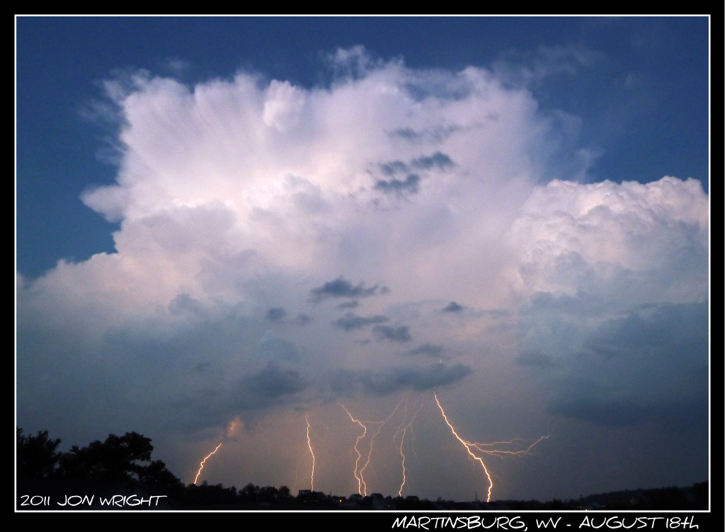
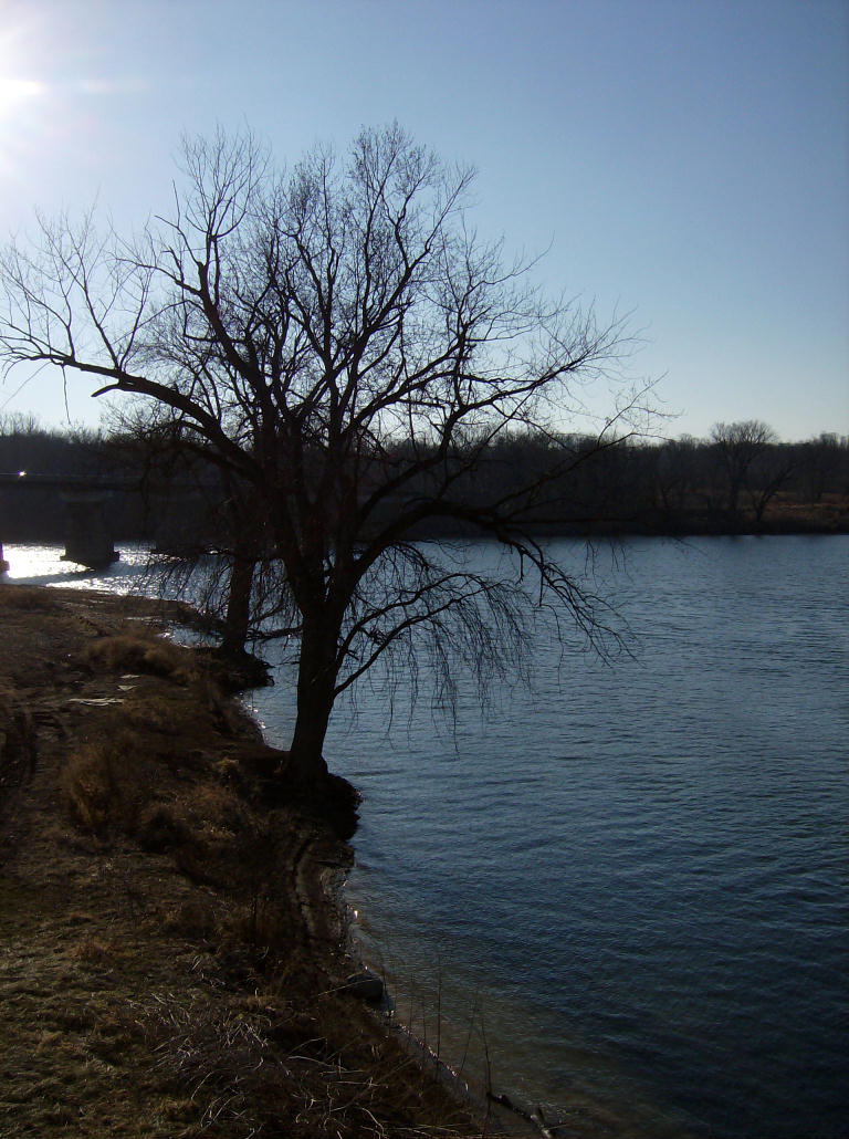
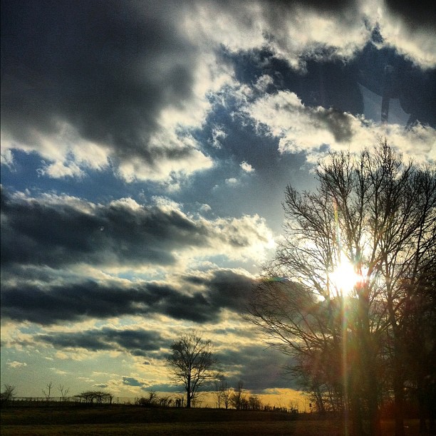
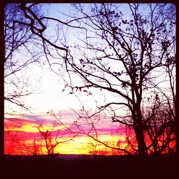
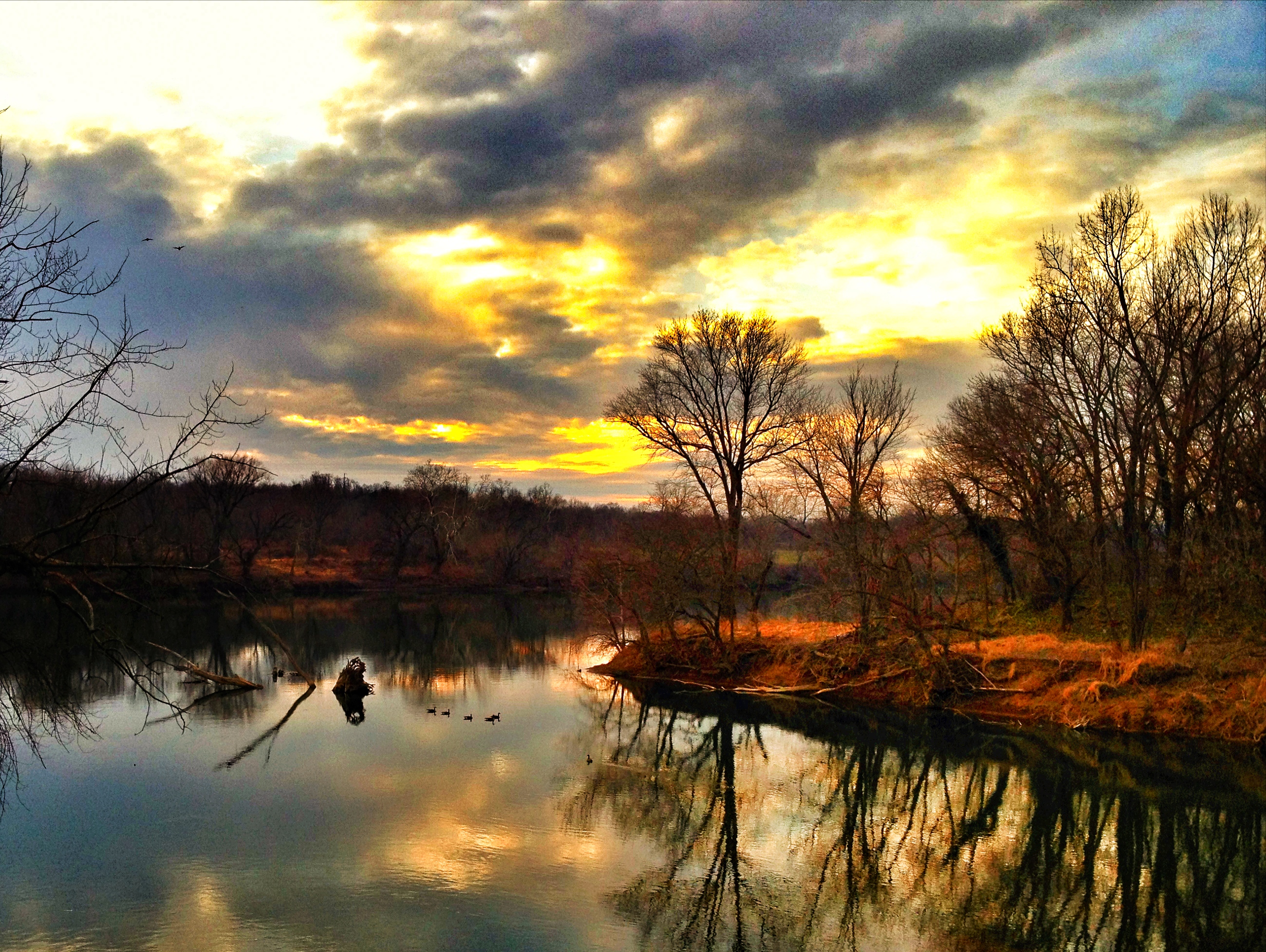
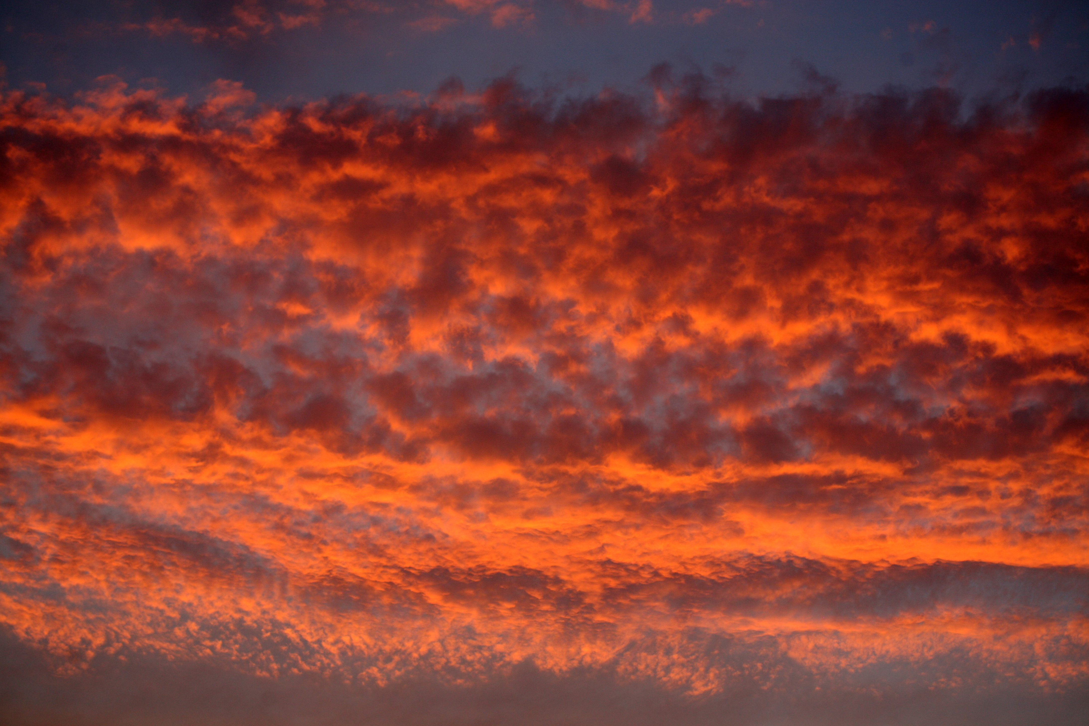
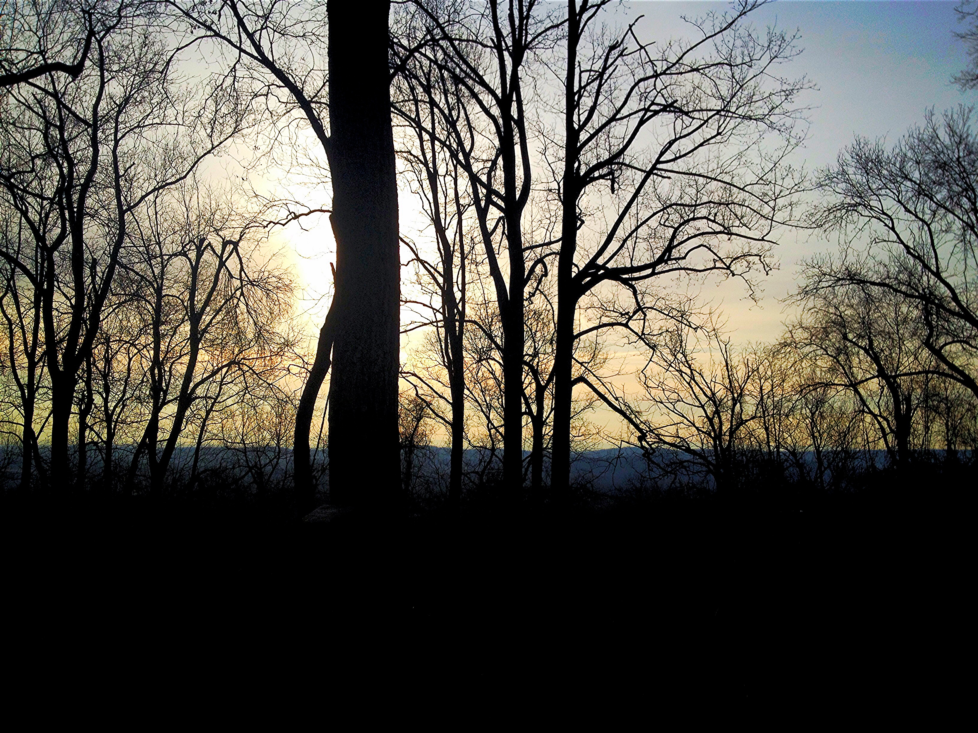
日出日落照片

Blair's Valley Lake - 2014-10-23 (16)
Anyone Need A Light?
CB2009-02

#sunset over spring mills, wv

Blair's Valley Lake - 2014-10-23 (47)
Highway Sunset 2 #SUNspotters

Blair's Valley Lake - 2014-10-23 (57)

Morning Opening Whitetail Ski Resort_Pa
Sun Rise

Blair's Valley Lake - 2014-10-23 (8)
Remains of the Day
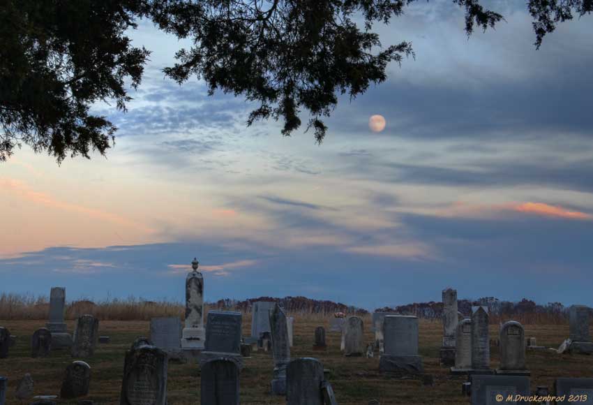
The Mount Tabor Church Graveyard at sunset

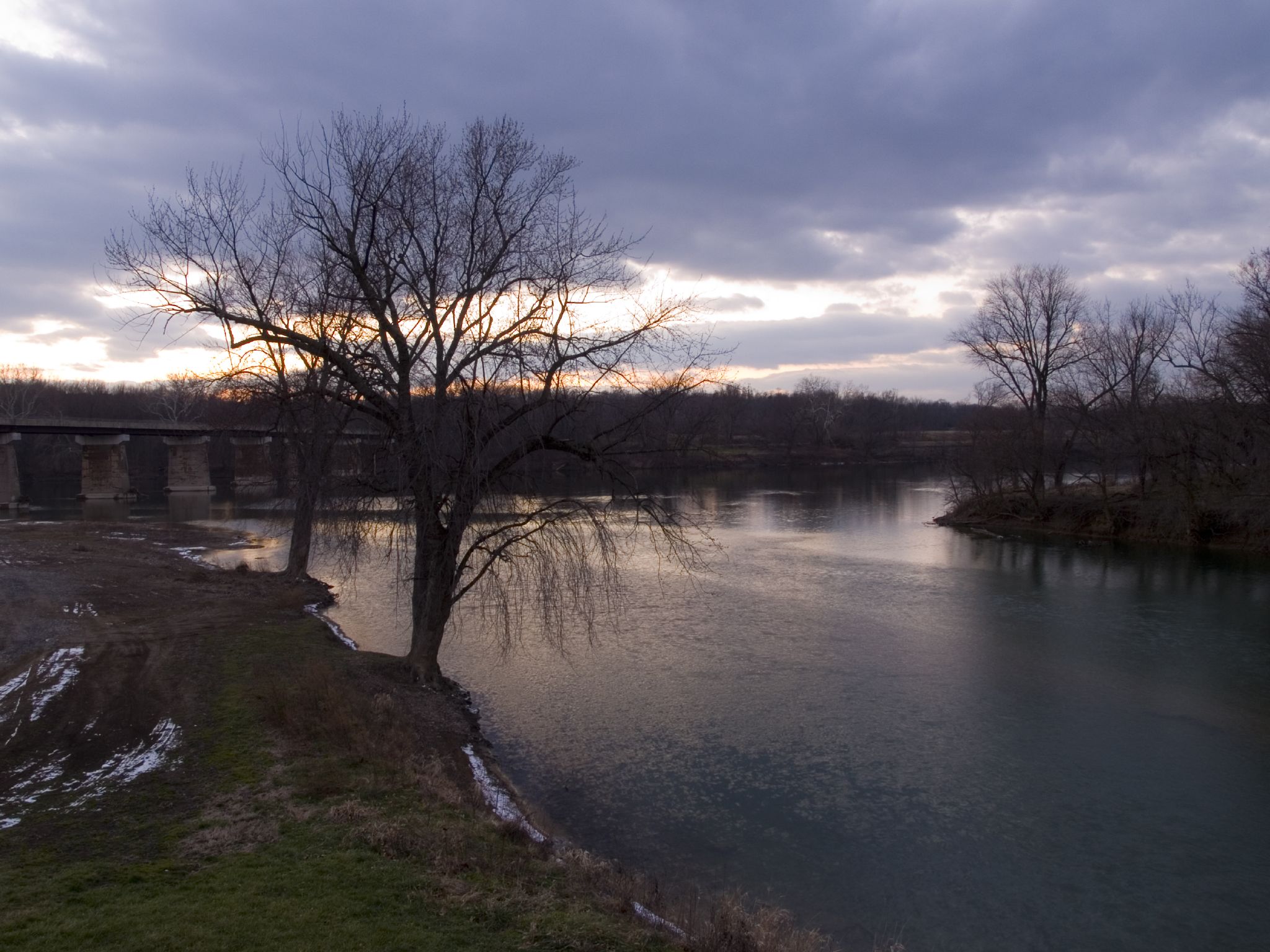
Potomac Park , Williamsport MD by River @ Sunset

The fog crept over the land
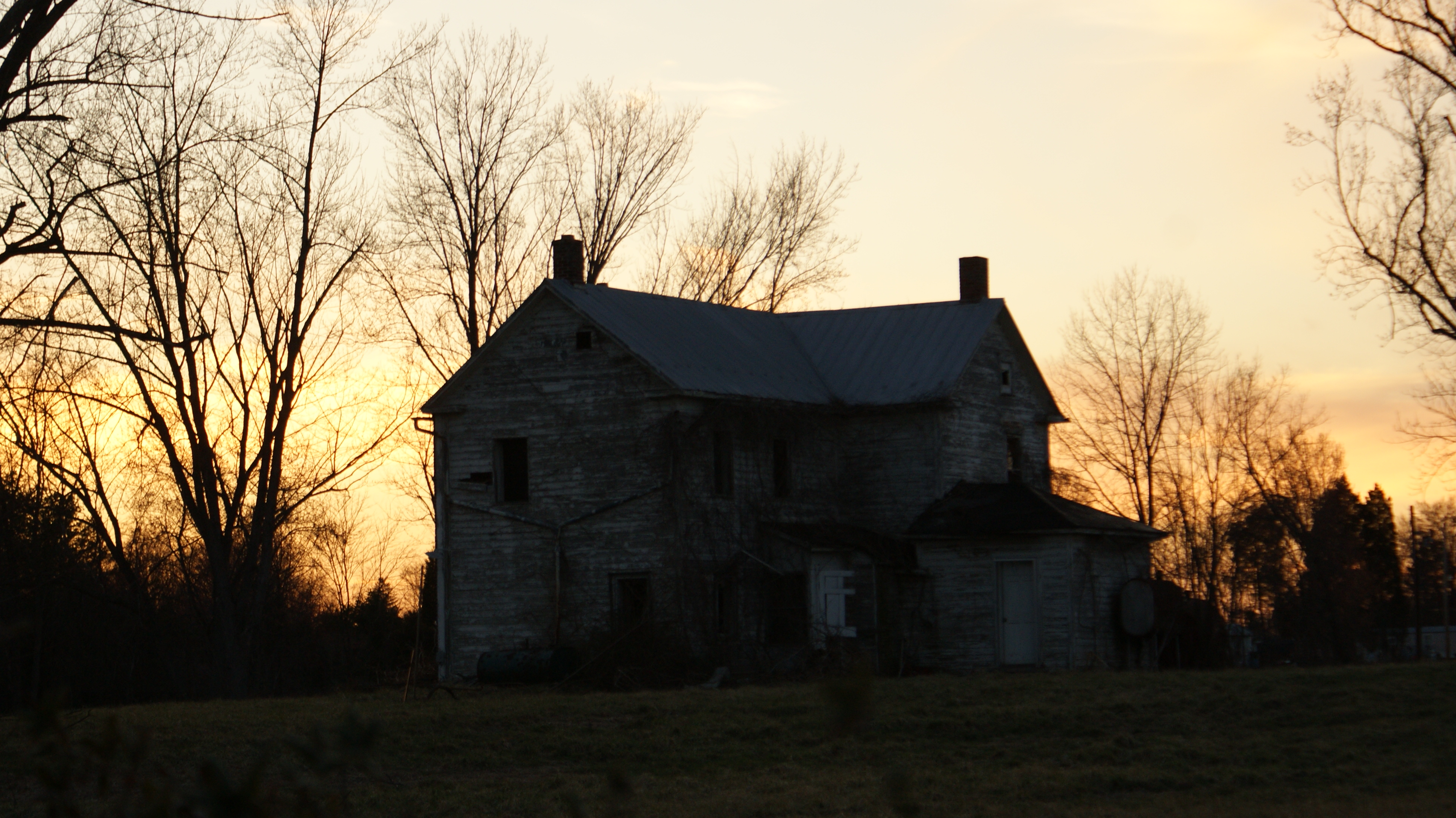
Abandoned Sunset
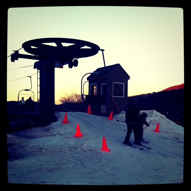
Sunset Ski Lift

C&O Canal National Historical Park, Maryland
Clear Spring, MD

WV October Sunset
canal sunset
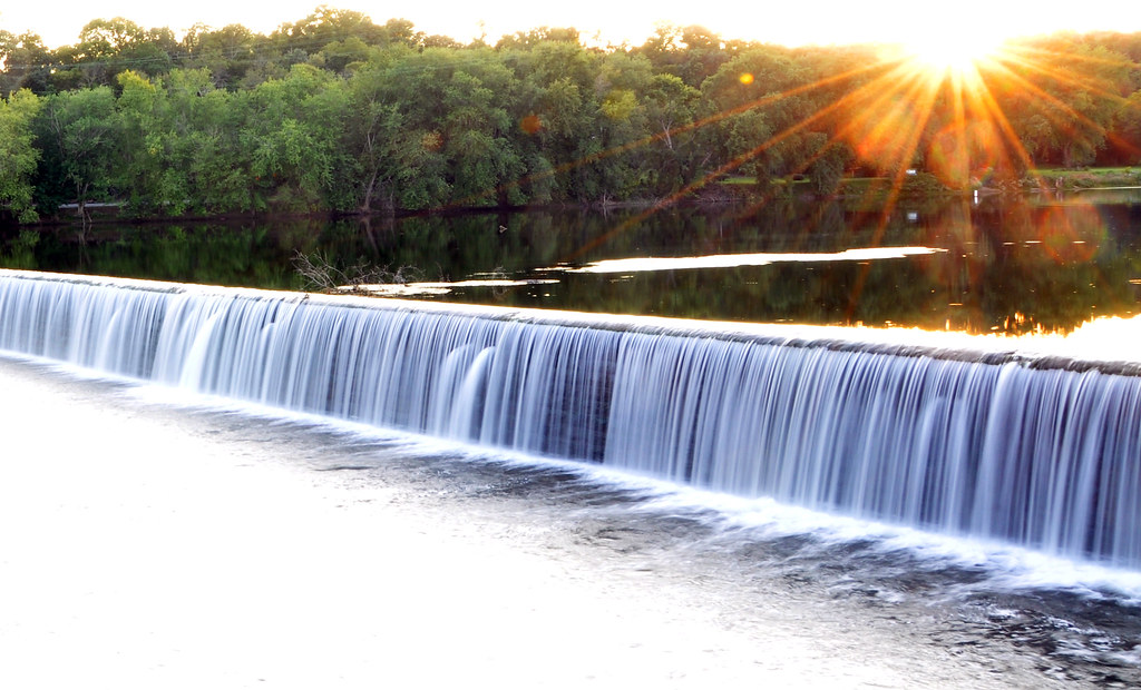
Dam 5 Sunset and waterfall
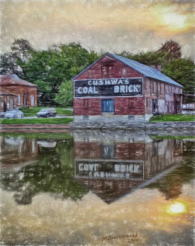
Digital colored pencil sketch on course paper surface
Morning sunrise

Morning on the Conococheague Creek in Williamsport MD
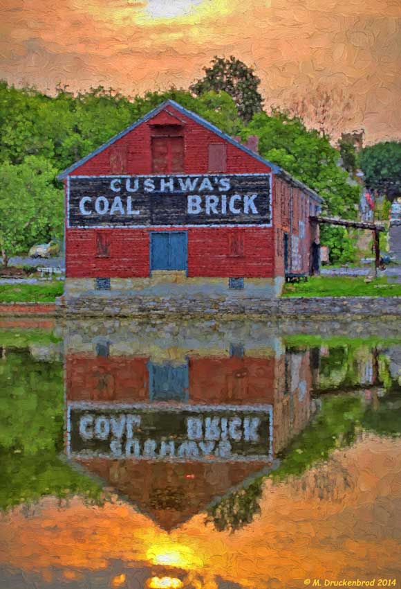
A digital painting of the Cushwa's Coal and Brick warehouse
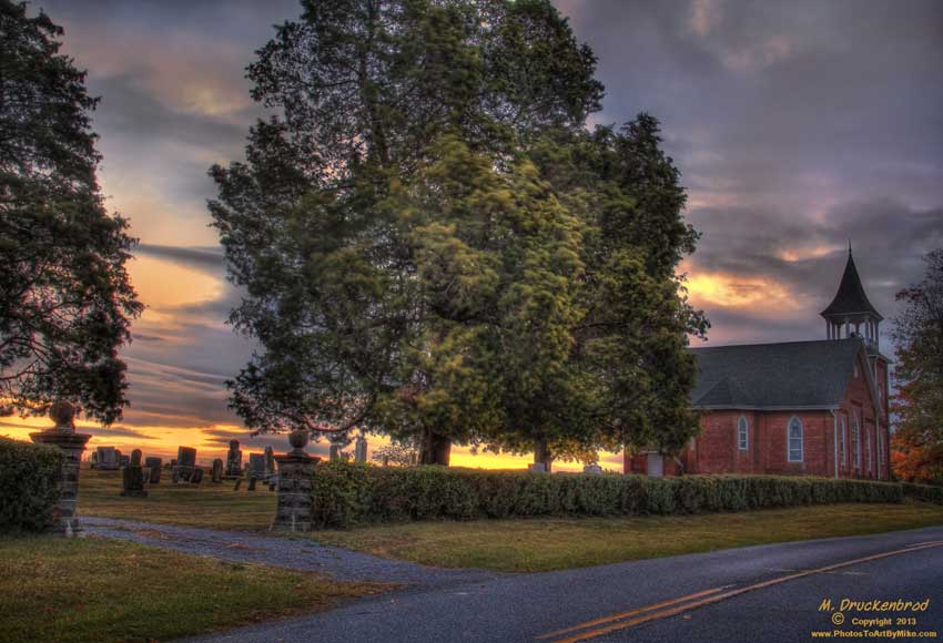
A Hagerstown Sunrise, MT. Tabor Church and Cemetary

foggy sunrise
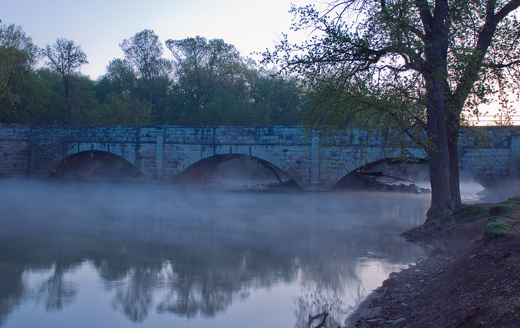
Concocheague Aqueduct Foggy

Running from the sunrise. Back to Motown.

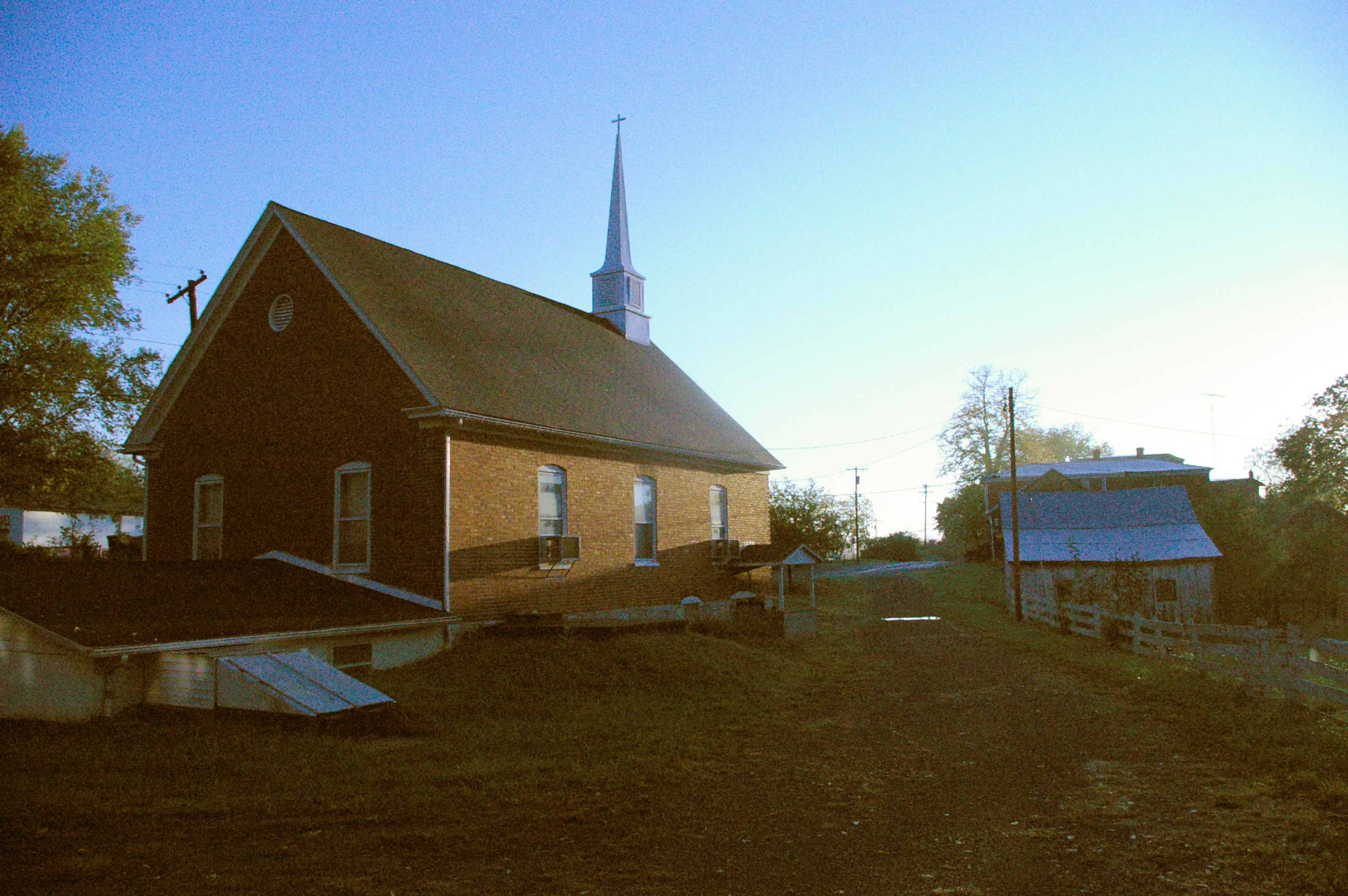
Mount Tabor Church, Hagerstown Maryland
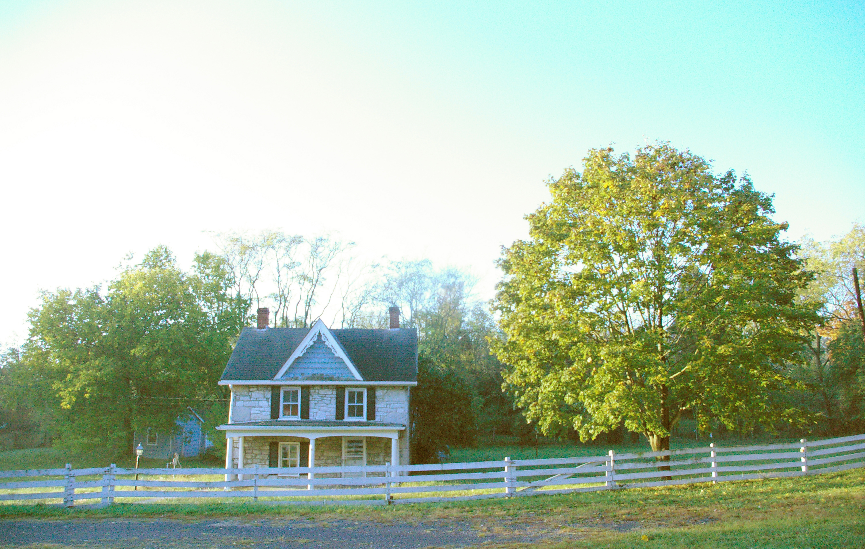
Victorian farmhouse at sunrise, Conococheague, Maryland
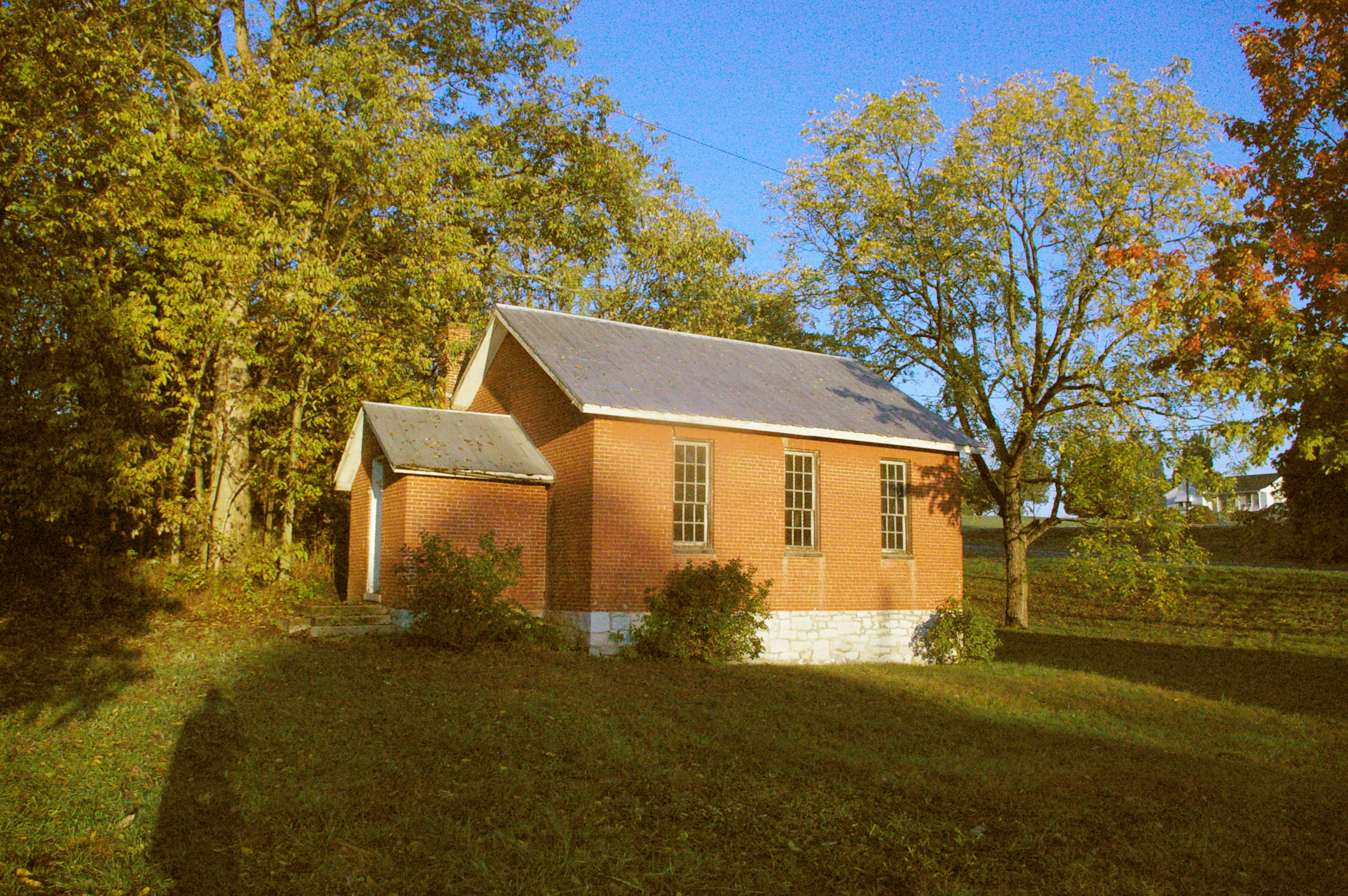
Wilson School, Conococheague, Maryland
Church, Conococheague, Maryland, at sunrise
15, Indian Spring, MD, 美國的地圖
搜索其他地方的日出日落時間
15, Indian Spring, MD, 美國的其他地方
附近地點
National Pike, Big Pool, MD 美國
Ernstville Rd, Big Pool, MD 美國
Big Pool, MD 美國
Big Pool Rd, Clear Spring, MD 美國
Ankenny Ln, Clear Spring, MD 美國
Conner Bowers Rd, Hedgesville, WV 美國
Conservation Dr, Hedgesville, WV 美國
Trouble Ln, West Virginia 美國Trouble Lane
Allensville Rd, Hedgesville, WV 美國
Johnsontown, Valley, WV 美國
Colston Dr, Falling Waters, WV 美國
North Mountain, WV 美國
美國西弗吉尼亚州赫奇斯维尔
Aspero Ln, Falling Waters, WV 美國Aspero Lane
Potomac, WV, 美國
Falling Waters, WV 美國
97 Wandering Pine Ln, Falling Waters, WV 美國
Belvedere Ct, Falling Waters, WV 美國
Stayman Dr, Falling Waters, WV 美國
Stayman Dr, Falling Waters, WV 美國
最近搜索
- Red Dog Mine, AK, USA的日出日落時間表
- Am bhf, Borken, 德國Am Bahnhof的日出日落時間表
- 4th St E, Sonoma, CA 美國的日出日落時間表
- Oakland Ave, Williamsport, PA 美國的日出日落時間表
- Via Roma, Pieranica CR, 義大利的日出日落時間表
- 克羅埃西亞杜布羅夫尼克 GradClock Tower of Dubrovnik的日出日落時間表
- 阿根廷丘布特省特雷利烏的日出日落時間表
- Hartfords Bluff Cir, Mt Pleasant, SC 美國的日出日落時間表
- 日本熊本縣熊本市北區的日出日落時間表
- 中國福州市平潭縣平潭島的日出日落時間表