15, Indian Spring, MD, USA Sonnenaufgang Sonnenuntergang Zeiten
Location: USA > Maryland > Washington County >
Zeitzone:
America/New_York
Ortszeit:
2025-06-30 12:49:25
Länge:
-77.9967043
Breite:
39.6648462
Sonnenaufgang Heute:
05:48:18 AM
Sonnenuntergang Heute:
08:43:43 PM
Tageslänge heute:
14h 55m 25s
Sonnenaufgang morgen:
05:48:48 AM
Sonnenuntergang Morgen:
08:43:35 PM
Tageslänge von morgen:
14h 54m 47s
Alle Termine anzeigen
| Datum | Sonnenaufgang | Sonnenuntergang | Tageslänge |
|---|---|---|---|
| 2025-01-01 | 07:32:52 AM | 04:59:20 PM | 9h 26m 28s |
| 2025-01-02 | 07:32:55 AM | 05:00:11 PM | 9h 27m 16s |
| 2025-01-03 | 07:32:57 AM | 05:01:04 PM | 9h 28m 7s |
| 2025-01-04 | 07:32:56 AM | 05:01:59 PM | 9h 29m 3s |
| 2025-01-05 | 07:32:53 AM | 05:02:54 PM | 9h 30m 1s |
| 2025-01-06 | 07:32:48 AM | 05:03:51 PM | 9h 31m 3s |
| 2025-01-07 | 07:32:41 AM | 05:04:49 PM | 9h 32m 8s |
| 2025-01-08 | 07:32:32 AM | 05:05:48 PM | 9h 33m 16s |
| 2025-01-09 | 07:32:20 AM | 05:06:49 PM | 9h 34m 29s |
| 2025-01-10 | 07:32:06 AM | 05:07:50 PM | 9h 35m 44s |
| 2025-01-11 | 07:31:50 AM | 05:08:52 PM | 9h 37m 2s |
| 2025-01-12 | 07:31:32 AM | 05:09:55 PM | 9h 38m 23s |
| 2025-01-13 | 07:31:12 AM | 05:10:59 PM | 9h 39m 47s |
| 2025-01-14 | 07:30:49 AM | 05:12:04 PM | 9h 41m 15s |
| 2025-01-15 | 07:30:25 AM | 05:13:10 PM | 9h 42m 45s |
| 2025-01-16 | 07:29:58 AM | 05:14:16 PM | 9h 44m 18s |
| 2025-01-17 | 07:29:29 AM | 05:15:23 PM | 9h 45m 54s |
| 2025-01-18 | 07:28:59 AM | 05:16:31 PM | 9h 47m 32s |
| 2025-01-19 | 07:28:26 AM | 05:17:39 PM | 9h 49m 13s |
| 2025-01-20 | 07:27:51 AM | 05:18:48 PM | 9h 50m 57s |
| 2025-01-21 | 07:27:14 AM | 05:19:57 PM | 9h 52m 43s |
| 2025-01-22 | 07:26:35 AM | 05:21:06 PM | 9h 54m 31s |
| 2025-01-23 | 07:25:55 AM | 05:22:16 PM | 9h 56m 21s |
| 2025-01-24 | 07:25:12 AM | 05:23:26 PM | 9h 58m 14s |
| 2025-01-25 | 07:24:28 AM | 05:24:37 PM | 10h 0m 9s |
| 2025-01-26 | 07:23:41 AM | 05:25:48 PM | 10h 2m 7s |
| 2025-01-27 | 07:22:53 AM | 05:26:59 PM | 10h 4m 6s |
| 2025-01-28 | 07:22:03 AM | 05:28:10 PM | 10h 6m 7s |
| 2025-01-29 | 07:21:12 AM | 05:29:21 PM | 10h 8m 9s |
| 2025-01-30 | 07:20:18 AM | 05:30:32 PM | 10h 10m 14s |
| 2025-01-31 | 07:19:23 AM | 05:31:44 PM | 10h 12m 21s |
| 2025-02-01 | 07:18:26 AM | 05:32:55 PM | 10h 14m 29s |
| 2025-02-02 | 07:17:28 AM | 05:34:07 PM | 10h 16m 39s |
| 2025-02-03 | 07:16:28 AM | 05:35:18 PM | 10h 18m 50s |
| 2025-02-04 | 07:15:26 AM | 05:36:29 PM | 10h 21m 3s |
| 2025-02-05 | 07:14:23 AM | 05:37:41 PM | 10h 23m 18s |
| 2025-02-06 | 07:13:19 AM | 05:38:52 PM | 10h 25m 33s |
| 2025-02-07 | 07:12:12 AM | 05:40:03 PM | 10h 27m 51s |
| 2025-02-08 | 07:11:05 AM | 05:41:14 PM | 10h 30m 9s |
| 2025-02-09 | 07:09:56 AM | 05:42:25 PM | 10h 32m 29s |
| 2025-02-10 | 07:08:46 AM | 05:43:35 PM | 10h 34m 49s |
| 2025-02-11 | 07:07:34 AM | 05:44:45 PM | 10h 37m 11s |
| 2025-02-12 | 07:06:22 AM | 05:45:55 PM | 10h 39m 33s |
| 2025-02-13 | 07:05:08 AM | 05:47:05 PM | 10h 41m 57s |
| 2025-02-14 | 07:03:52 AM | 05:48:15 PM | 10h 44m 23s |
| 2025-02-15 | 07:02:36 AM | 05:49:24 PM | 10h 46m 48s |
| 2025-02-16 | 07:01:18 AM | 05:50:33 PM | 10h 49m 15s |
| 2025-02-17 | 07:00:00 AM | 05:51:42 PM | 10h 51m 42s |
| 2025-02-18 | 06:58:40 AM | 05:52:51 PM | 10h 54m 11s |
| 2025-02-19 | 06:57:19 AM | 05:53:59 PM | 10h 56m 40s |
| 2025-02-20 | 06:55:57 AM | 05:55:07 PM | 10h 59m 10s |
| 2025-02-21 | 06:54:35 AM | 05:56:14 PM | 11h 1m 39s |
| 2025-02-22 | 06:53:11 AM | 05:57:22 PM | 11h 4m 11s |
| 2025-02-23 | 06:51:46 AM | 05:58:29 PM | 11h 6m 43s |
| 2025-02-24 | 06:50:21 AM | 05:59:35 PM | 11h 9m 14s |
| 2025-02-25 | 06:48:55 AM | 06:00:42 PM | 11h 11m 47s |
| 2025-02-26 | 06:47:28 AM | 06:01:48 PM | 11h 14m 20s |
| 2025-02-27 | 06:46:00 AM | 06:02:54 PM | 11h 16m 54s |
| 2025-02-28 | 06:44:31 AM | 06:03:59 PM | 11h 19m 28s |
| 2025-03-01 | 06:43:02 AM | 06:05:04 PM | 11h 22m 2s |
| 2025-03-02 | 06:41:32 AM | 06:06:09 PM | 11h 24m 37s |
| 2025-03-03 | 06:40:02 AM | 06:07:14 PM | 11h 27m 12s |
| 2025-03-04 | 06:38:30 AM | 06:08:18 PM | 11h 29m 48s |
| 2025-03-05 | 06:36:59 AM | 06:09:22 PM | 11h 32m 23s |
| 2025-03-06 | 06:35:26 AM | 06:10:26 PM | 11h 35m 0s |
| 2025-03-07 | 06:33:54 AM | 06:11:29 PM | 11h 37m 35s |
| 2025-03-08 | 06:32:21 AM | 06:12:32 PM | 11h 40m 11s |
| 2025-03-09 | 07:30:51 AM | 07:13:33 PM | 11h 42m 42s |
| 2025-03-10 | 07:29:17 AM | 07:14:36 PM | 11h 45m 19s |
| 2025-03-11 | 07:27:42 AM | 07:15:38 PM | 11h 47m 56s |
| 2025-03-12 | 07:26:08 AM | 07:16:40 PM | 11h 50m 32s |
| 2025-03-13 | 07:24:32 AM | 07:17:42 PM | 11h 53m 10s |
| 2025-03-14 | 07:22:57 AM | 07:18:44 PM | 11h 55m 47s |
| 2025-03-15 | 07:21:21 AM | 07:19:46 PM | 11h 58m 25s |
| 2025-03-16 | 07:19:46 AM | 07:20:47 PM | 12h 1m 1s |
| 2025-03-17 | 07:18:10 AM | 07:21:49 PM | 12h 3m 39s |
| 2025-03-18 | 07:16:33 AM | 07:22:50 PM | 12h 6m 17s |
| 2025-03-19 | 07:14:57 AM | 07:23:51 PM | 12h 8m 54s |
| 2025-03-20 | 07:13:21 AM | 07:24:52 PM | 12h 11m 31s |
| 2025-03-21 | 07:11:44 AM | 07:25:52 PM | 12h 14m 8s |
| 2025-03-22 | 07:10:08 AM | 07:26:53 PM | 12h 16m 45s |
| 2025-03-23 | 07:08:31 AM | 07:27:53 PM | 12h 19m 22s |
| 2025-03-24 | 07:06:54 AM | 07:28:54 PM | 12h 22m 0s |
| 2025-03-25 | 07:05:18 AM | 07:29:54 PM | 12h 24m 36s |
| 2025-03-26 | 07:03:42 AM | 07:30:54 PM | 12h 27m 12s |
| 2025-03-27 | 07:02:05 AM | 07:31:54 PM | 12h 29m 49s |
| 2025-03-28 | 07:00:29 AM | 07:32:54 PM | 12h 32m 25s |
| 2025-03-29 | 06:58:53 AM | 07:33:54 PM | 12h 35m 1s |
| 2025-03-30 | 06:57:17 AM | 07:34:54 PM | 12h 37m 37s |
| 2025-03-31 | 06:55:42 AM | 07:35:54 PM | 12h 40m 12s |
| 2025-04-01 | 06:54:07 AM | 07:36:54 PM | 12h 42m 47s |
| 2025-04-02 | 06:52:32 AM | 07:37:54 PM | 12h 45m 22s |
| 2025-04-03 | 06:50:57 AM | 07:38:53 PM | 12h 47m 56s |
| 2025-04-04 | 06:49:23 AM | 07:39:53 PM | 12h 50m 30s |
| 2025-04-05 | 06:47:49 AM | 07:40:53 PM | 12h 53m 4s |
| 2025-04-06 | 06:46:15 AM | 07:41:53 PM | 12h 55m 38s |
| 2025-04-07 | 06:44:42 AM | 07:42:53 PM | 12h 58m 11s |
| 2025-04-08 | 06:43:10 AM | 07:43:52 PM | 13h 0m 42s |
| 2025-04-09 | 06:41:38 AM | 07:44:52 PM | 13h 3m 14s |
| 2025-04-10 | 06:40:06 AM | 07:45:52 PM | 13h 5m 46s |
| 2025-04-11 | 06:38:35 AM | 07:46:52 PM | 13h 8m 17s |
| 2025-04-12 | 06:37:05 AM | 07:47:52 PM | 13h 10m 47s |
| 2025-04-13 | 06:35:35 AM | 07:48:52 PM | 13h 13m 17s |
| 2025-04-14 | 06:34:06 AM | 07:49:52 PM | 13h 15m 46s |
| 2025-04-15 | 06:32:38 AM | 07:50:52 PM | 13h 18m 14s |
| 2025-04-16 | 06:31:10 AM | 07:51:52 PM | 13h 20m 42s |
| 2025-04-17 | 06:29:43 AM | 07:52:52 PM | 13h 23m 9s |
| 2025-04-18 | 06:28:17 AM | 07:53:52 PM | 13h 25m 35s |
| 2025-04-19 | 06:26:52 AM | 07:54:52 PM | 13h 28m 0s |
| 2025-04-20 | 06:25:27 AM | 07:55:52 PM | 13h 30m 25s |
| 2025-04-21 | 06:24:04 AM | 07:56:52 PM | 13h 32m 48s |
| 2025-04-22 | 06:22:41 AM | 07:57:52 PM | 13h 35m 11s |
| 2025-04-23 | 06:21:19 AM | 07:58:53 PM | 13h 37m 34s |
| 2025-04-24 | 06:19:59 AM | 07:59:53 PM | 13h 39m 54s |
| 2025-04-25 | 06:18:39 AM | 08:00:53 PM | 13h 42m 14s |
| 2025-04-26 | 06:17:20 AM | 08:01:53 PM | 13h 44m 33s |
| 2025-04-27 | 06:16:02 AM | 08:02:53 PM | 13h 46m 51s |
| 2025-04-28 | 06:14:46 AM | 08:03:52 PM | 13h 49m 6s |
| 2025-04-29 | 06:13:30 AM | 08:04:52 PM | 13h 51m 22s |
| 2025-04-30 | 06:12:16 AM | 08:05:52 PM | 13h 53m 36s |
| 2025-05-01 | 06:11:03 AM | 08:06:52 PM | 13h 55m 49s |
| 2025-05-02 | 06:09:51 AM | 08:07:51 PM | 13h 58m 0s |
| 2025-05-03 | 06:08:41 AM | 08:08:50 PM | 14h 0m 9s |
| 2025-05-04 | 06:07:31 AM | 08:09:50 PM | 14h 2m 19s |
| 2025-05-05 | 06:06:23 AM | 08:10:49 PM | 14h 4m 26s |
| 2025-05-06 | 06:05:16 AM | 08:11:47 PM | 14h 6m 31s |
| 2025-05-07 | 06:04:11 AM | 08:12:46 PM | 14h 8m 35s |
| 2025-05-08 | 06:03:07 AM | 08:13:44 PM | 14h 10m 37s |
| 2025-05-09 | 06:02:05 AM | 08:14:42 PM | 14h 12m 37s |
| 2025-05-10 | 06:01:04 AM | 08:15:40 PM | 14h 14m 36s |
| 2025-05-11 | 06:00:04 AM | 08:16:37 PM | 14h 16m 33s |
| 2025-05-12 | 05:59:06 AM | 08:17:34 PM | 14h 18m 28s |
| 2025-05-13 | 05:58:10 AM | 08:18:31 PM | 14h 20m 21s |
| 2025-05-14 | 05:57:15 AM | 08:19:27 PM | 14h 22m 12s |
| 2025-05-15 | 05:56:21 AM | 08:20:22 PM | 14h 24m 1s |
| 2025-05-16 | 05:55:30 AM | 08:21:18 PM | 14h 25m 48s |
| 2025-05-17 | 05:54:40 AM | 08:22:12 PM | 14h 27m 32s |
| 2025-05-18 | 05:53:51 AM | 08:23:06 PM | 14h 29m 15s |
| 2025-05-19 | 05:53:05 AM | 08:24:00 PM | 14h 30m 55s |
| 2025-05-20 | 05:52:20 AM | 08:24:53 PM | 14h 32m 33s |
| 2025-05-21 | 05:51:36 AM | 08:25:45 PM | 14h 34m 9s |
| 2025-05-22 | 05:50:55 AM | 08:26:36 PM | 14h 35m 41s |
| 2025-05-23 | 05:50:15 AM | 08:27:27 PM | 14h 37m 12s |
| 2025-05-24 | 05:49:37 AM | 08:28:17 PM | 14h 38m 40s |
| 2025-05-25 | 05:49:01 AM | 08:29:06 PM | 14h 40m 5s |
| 2025-05-26 | 05:48:27 AM | 08:29:54 PM | 14h 41m 27s |
| 2025-05-27 | 05:47:54 AM | 08:30:41 PM | 14h 42m 47s |
| 2025-05-28 | 05:47:24 AM | 08:31:27 PM | 14h 44m 3s |
| 2025-05-29 | 05:46:55 AM | 08:32:13 PM | 14h 45m 18s |
| 2025-05-30 | 05:46:28 AM | 08:32:57 PM | 14h 46m 29s |
| 2025-05-31 | 05:46:03 AM | 08:33:40 PM | 14h 47m 37s |
| 2025-06-01 | 05:45:40 AM | 08:34:22 PM | 14h 48m 42s |
| 2025-06-02 | 05:45:19 AM | 08:35:03 PM | 14h 49m 44s |
| 2025-06-03 | 05:45:00 AM | 08:35:43 PM | 14h 50m 43s |
| 2025-06-04 | 05:44:43 AM | 08:36:21 PM | 14h 51m 38s |
| 2025-06-05 | 05:44:28 AM | 08:36:58 PM | 14h 52m 30s |
| 2025-06-06 | 05:44:14 AM | 08:37:34 PM | 14h 53m 20s |
| 2025-06-07 | 05:44:03 AM | 08:38:08 PM | 14h 54m 5s |
| 2025-06-08 | 05:43:53 AM | 08:38:41 PM | 14h 54m 48s |
| 2025-06-09 | 05:43:45 AM | 08:39:13 PM | 14h 55m 28s |
| 2025-06-10 | 05:43:40 AM | 08:39:43 PM | 14h 56m 3s |
| 2025-06-11 | 05:43:36 AM | 08:40:12 PM | 14h 56m 36s |
| 2025-06-12 | 05:43:34 AM | 08:40:39 PM | 14h 57m 5s |
| 2025-06-13 | 05:43:34 AM | 08:41:04 PM | 14h 57m 30s |
| 2025-06-14 | 05:43:36 AM | 08:41:28 PM | 14h 57m 52s |
| 2025-06-15 | 05:43:39 AM | 08:41:50 PM | 14h 58m 11s |
| 2025-06-16 | 05:43:45 AM | 08:42:10 PM | 14h 58m 25s |
| 2025-06-17 | 05:43:52 AM | 08:42:29 PM | 14h 58m 37s |
| 2025-06-18 | 05:44:01 AM | 08:42:46 PM | 14h 58m 45s |
| 2025-06-19 | 05:44:12 AM | 08:43:01 PM | 14h 58m 49s |
| 2025-06-20 | 05:44:25 AM | 08:43:15 PM | 14h 58m 50s |
| 2025-06-21 | 05:44:39 AM | 08:43:27 PM | 14h 58m 48s |
| 2025-06-22 | 05:44:56 AM | 08:43:36 PM | 14h 58m 40s |
| 2025-06-23 | 05:45:13 AM | 08:43:44 PM | 14h 58m 31s |
| 2025-06-24 | 05:45:33 AM | 08:43:50 PM | 14h 58m 17s |
| 2025-06-25 | 05:45:54 AM | 08:43:55 PM | 14h 58m 1s |
| 2025-06-26 | 05:46:17 AM | 08:43:57 PM | 14h 57m 40s |
| 2025-06-27 | 05:46:41 AM | 08:43:57 PM | 14h 57m 16s |
| 2025-06-28 | 05:47:07 AM | 08:43:56 PM | 14h 56m 49s |
| 2025-06-29 | 05:47:34 AM | 08:43:52 PM | 14h 56m 18s |
| 2025-06-30 | 05:48:03 AM | 08:43:47 PM | 14h 55m 44s |
| 2025-07-01 | 05:48:33 AM | 08:43:39 PM | 14h 55m 6s |
| 2025-07-02 | 05:49:04 AM | 08:43:30 PM | 14h 54m 26s |
| 2025-07-03 | 05:49:37 AM | 08:43:18 PM | 14h 53m 41s |
| 2025-07-04 | 05:50:12 AM | 08:43:05 PM | 14h 52m 53s |
| 2025-07-05 | 05:50:47 AM | 08:42:50 PM | 14h 52m 3s |
| 2025-07-06 | 05:51:24 AM | 08:42:32 PM | 14h 51m 8s |
| 2025-07-07 | 05:52:02 AM | 08:42:13 PM | 14h 50m 11s |
| 2025-07-08 | 05:52:41 AM | 08:41:52 PM | 14h 49m 11s |
| 2025-07-09 | 05:53:21 AM | 08:41:29 PM | 14h 48m 8s |
| 2025-07-10 | 05:54:02 AM | 08:41:04 PM | 14h 47m 2s |
| 2025-07-11 | 05:54:44 AM | 08:40:37 PM | 14h 45m 53s |
| 2025-07-12 | 05:55:27 AM | 08:40:08 PM | 14h 44m 41s |
| 2025-07-13 | 05:56:12 AM | 08:39:37 PM | 14h 43m 25s |
| 2025-07-14 | 05:56:57 AM | 08:39:04 PM | 14h 42m 7s |
| 2025-07-15 | 05:57:43 AM | 08:38:30 PM | 14h 40m 47s |
| 2025-07-16 | 05:58:29 AM | 08:37:53 PM | 14h 39m 24s |
| 2025-07-17 | 05:59:17 AM | 08:37:15 PM | 14h 37m 58s |
| 2025-07-18 | 06:00:05 AM | 08:36:35 PM | 14h 36m 30s |
| 2025-07-19 | 06:00:54 AM | 08:35:53 PM | 14h 34m 59s |
| 2025-07-20 | 06:01:44 AM | 08:35:09 PM | 14h 33m 25s |
| 2025-07-21 | 06:02:34 AM | 08:34:24 PM | 14h 31m 50s |
| 2025-07-22 | 06:03:25 AM | 08:33:36 PM | 14h 30m 11s |
| 2025-07-23 | 06:04:16 AM | 08:32:48 PM | 14h 28m 32s |
| 2025-07-24 | 06:05:08 AM | 08:31:57 PM | 14h 26m 49s |
| 2025-07-25 | 06:06:00 AM | 08:31:05 PM | 14h 25m 5s |
| 2025-07-26 | 06:06:53 AM | 08:30:11 PM | 14h 23m 18s |
| 2025-07-27 | 06:07:46 AM | 08:29:15 PM | 14h 21m 29s |
| 2025-07-28 | 06:08:40 AM | 08:28:18 PM | 14h 19m 38s |
| 2025-07-29 | 06:09:34 AM | 08:27:19 PM | 14h 17m 45s |
| 2025-07-30 | 06:10:28 AM | 08:26:19 PM | 14h 15m 51s |
| 2025-07-31 | 06:11:23 AM | 08:25:17 PM | 14h 13m 54s |
| 2025-08-01 | 06:12:18 AM | 08:24:14 PM | 14h 11m 56s |
| 2025-08-02 | 06:13:13 AM | 08:23:09 PM | 14h 9m 56s |
| 2025-08-03 | 06:14:08 AM | 08:22:03 PM | 14h 7m 55s |
| 2025-08-04 | 06:15:04 AM | 08:20:55 PM | 14h 5m 51s |
| 2025-08-05 | 06:15:59 AM | 08:19:46 PM | 14h 3m 47s |
| 2025-08-06 | 06:16:55 AM | 08:18:36 PM | 14h 1m 41s |
| 2025-08-07 | 06:17:51 AM | 08:17:24 PM | 13h 59m 33s |
| 2025-08-08 | 06:18:47 AM | 08:16:12 PM | 13h 57m 25s |
| 2025-08-09 | 06:19:43 AM | 08:14:58 PM | 13h 55m 15s |
| 2025-08-10 | 06:20:39 AM | 08:13:42 PM | 13h 53m 3s |
| 2025-08-11 | 06:21:36 AM | 08:12:26 PM | 13h 50m 50s |
| 2025-08-12 | 06:22:32 AM | 08:11:08 PM | 13h 48m 36s |
| 2025-08-13 | 06:23:28 AM | 08:09:49 PM | 13h 46m 21s |
| 2025-08-14 | 06:24:25 AM | 08:08:30 PM | 13h 44m 5s |
| 2025-08-15 | 06:25:21 AM | 08:07:09 PM | 13h 41m 48s |
| 2025-08-16 | 06:26:17 AM | 08:05:47 PM | 13h 39m 30s |
| 2025-08-17 | 06:27:14 AM | 08:04:24 PM | 13h 37m 10s |
| 2025-08-18 | 06:28:10 AM | 08:03:00 PM | 13h 34m 50s |
| 2025-08-19 | 06:29:06 AM | 08:01:35 PM | 13h 32m 29s |
| 2025-08-20 | 06:30:02 AM | 08:00:10 PM | 13h 30m 8s |
| 2025-08-21 | 06:30:58 AM | 07:58:43 PM | 13h 27m 45s |
| 2025-08-22 | 06:31:55 AM | 07:57:16 PM | 13h 25m 21s |
| 2025-08-23 | 06:32:51 AM | 07:55:47 PM | 13h 22m 56s |
| 2025-08-24 | 06:33:47 AM | 07:54:18 PM | 13h 20m 31s |
| 2025-08-25 | 06:34:43 AM | 07:52:49 PM | 13h 18m 6s |
| 2025-08-26 | 06:35:38 AM | 07:51:18 PM | 13h 15m 40s |
| 2025-08-27 | 06:36:34 AM | 07:49:47 PM | 13h 13m 13s |
| 2025-08-28 | 06:37:30 AM | 07:48:15 PM | 13h 10m 45s |
| 2025-08-29 | 06:38:26 AM | 07:46:43 PM | 13h 8m 17s |
| 2025-08-30 | 06:39:21 AM | 07:45:10 PM | 13h 5m 49s |
| 2025-08-31 | 06:40:17 AM | 07:43:36 PM | 13h 3m 19s |
| 2025-09-01 | 06:41:13 AM | 07:42:02 PM | 13h 0m 49s |
| 2025-09-02 | 06:42:08 AM | 07:40:27 PM | 12h 58m 19s |
| 2025-09-03 | 06:43:04 AM | 07:38:52 PM | 12h 55m 48s |
| 2025-09-04 | 06:43:59 AM | 07:37:17 PM | 12h 53m 18s |
| 2025-09-05 | 06:44:54 AM | 07:35:41 PM | 12h 50m 47s |
| 2025-09-06 | 06:45:50 AM | 07:34:04 PM | 12h 48m 14s |
| 2025-09-07 | 06:46:45 AM | 07:32:28 PM | 12h 45m 43s |
| 2025-09-08 | 06:47:41 AM | 07:30:51 PM | 12h 43m 10s |
| 2025-09-09 | 06:48:36 AM | 07:29:13 PM | 12h 40m 37s |
| 2025-09-10 | 06:49:31 AM | 07:27:36 PM | 12h 38m 5s |
| 2025-09-11 | 06:50:27 AM | 07:25:58 PM | 12h 35m 31s |
| 2025-09-12 | 06:51:22 AM | 07:24:20 PM | 12h 32m 58s |
| 2025-09-13 | 06:52:18 AM | 07:22:41 PM | 12h 30m 23s |
| 2025-09-14 | 06:53:13 AM | 07:21:03 PM | 12h 27m 50s |
| 2025-09-15 | 06:54:09 AM | 07:19:25 PM | 12h 25m 16s |
| 2025-09-16 | 06:55:05 AM | 07:17:46 PM | 12h 22m 41s |
| 2025-09-17 | 06:56:00 AM | 07:16:07 PM | 12h 20m 7s |
| 2025-09-18 | 06:56:56 AM | 07:14:29 PM | 12h 17m 33s |
| 2025-09-19 | 06:57:52 AM | 07:12:50 PM | 12h 14m 58s |
| 2025-09-20 | 06:58:48 AM | 07:11:11 PM | 12h 12m 23s |
| 2025-09-21 | 06:59:45 AM | 07:09:33 PM | 12h 9m 48s |
| 2025-09-22 | 07:00:41 AM | 07:07:54 PM | 12h 7m 13s |
| 2025-09-23 | 07:01:37 AM | 07:06:16 PM | 12h 4m 39s |
| 2025-09-24 | 07:02:34 AM | 07:04:38 PM | 12h 2m 4s |
| 2025-09-25 | 07:03:31 AM | 07:02:59 PM | 11h 59m 28s |
| 2025-09-26 | 07:04:28 AM | 07:01:22 PM | 11h 56m 54s |
| 2025-09-27 | 07:05:25 AM | 06:59:44 PM | 11h 54m 19s |
| 2025-09-28 | 07:06:23 AM | 06:58:07 PM | 11h 51m 44s |
| 2025-09-29 | 07:07:20 AM | 06:56:29 PM | 11h 49m 9s |
| 2025-09-30 | 07:08:18 AM | 06:54:53 PM | 11h 46m 35s |
| 2025-10-01 | 07:09:16 AM | 06:53:16 PM | 11h 44m 0s |
| 2025-10-02 | 07:10:15 AM | 06:51:40 PM | 11h 41m 25s |
| 2025-10-03 | 07:11:13 AM | 06:50:05 PM | 11h 38m 52s |
| 2025-10-04 | 07:12:12 AM | 06:48:30 PM | 11h 36m 18s |
| 2025-10-05 | 07:13:11 AM | 06:46:55 PM | 11h 33m 44s |
| 2025-10-06 | 07:14:11 AM | 06:45:21 PM | 11h 31m 10s |
| 2025-10-07 | 07:15:10 AM | 06:43:47 PM | 11h 28m 37s |
| 2025-10-08 | 07:16:10 AM | 06:42:14 PM | 11h 26m 4s |
| 2025-10-09 | 07:17:11 AM | 06:40:42 PM | 11h 23m 31s |
| 2025-10-10 | 07:18:11 AM | 06:39:10 PM | 11h 20m 59s |
| 2025-10-11 | 07:19:12 AM | 06:37:39 PM | 11h 18m 27s |
| 2025-10-12 | 07:20:13 AM | 06:36:08 PM | 11h 15m 55s |
| 2025-10-13 | 07:21:15 AM | 06:34:39 PM | 11h 13m 24s |
| 2025-10-14 | 07:22:17 AM | 06:33:10 PM | 11h 10m 53s |
| 2025-10-15 | 07:23:19 AM | 06:31:42 PM | 11h 8m 23s |
| 2025-10-16 | 07:24:22 AM | 06:30:14 PM | 11h 5m 52s |
| 2025-10-17 | 07:25:24 AM | 06:28:48 PM | 11h 3m 24s |
| 2025-10-18 | 07:26:28 AM | 06:27:23 PM | 11h 0m 55s |
| 2025-10-19 | 07:27:31 AM | 06:25:58 PM | 10h 58m 27s |
| 2025-10-20 | 07:28:35 AM | 06:24:34 PM | 10h 55m 59s |
| 2025-10-21 | 07:29:39 AM | 06:23:12 PM | 10h 53m 33s |
| 2025-10-22 | 07:30:44 AM | 06:21:50 PM | 10h 51m 6s |
| 2025-10-23 | 07:31:49 AM | 06:20:30 PM | 10h 48m 41s |
| 2025-10-24 | 07:32:54 AM | 06:19:10 PM | 10h 46m 16s |
| 2025-10-25 | 07:33:59 AM | 06:17:52 PM | 10h 43m 53s |
| 2025-10-26 | 07:35:05 AM | 06:16:35 PM | 10h 41m 30s |
| 2025-10-27 | 07:36:11 AM | 06:15:19 PM | 10h 39m 8s |
| 2025-10-28 | 07:37:17 AM | 06:14:05 PM | 10h 36m 48s |
| 2025-10-29 | 07:38:24 AM | 06:12:51 PM | 10h 34m 27s |
| 2025-10-30 | 07:39:31 AM | 06:11:39 PM | 10h 32m 8s |
| 2025-10-31 | 07:40:38 AM | 06:10:29 PM | 10h 29m 51s |
| 2025-11-01 | 07:41:45 AM | 06:09:19 PM | 10h 27m 34s |
| 2025-11-02 | 06:42:56 AM | 05:08:09 PM | 10h 25m 13s |
| 2025-11-03 | 06:44:03 AM | 05:07:02 PM | 10h 22m 59s |
| 2025-11-04 | 06:45:11 AM | 05:05:58 PM | 10h 20m 47s |
| 2025-11-05 | 06:46:19 AM | 05:04:54 PM | 10h 18m 35s |
| 2025-11-06 | 06:47:27 AM | 05:03:53 PM | 10h 16m 26s |
| 2025-11-07 | 06:48:35 AM | 05:02:52 PM | 10h 14m 17s |
| 2025-11-08 | 06:49:44 AM | 05:01:54 PM | 10h 12m 10s |
| 2025-11-09 | 06:50:52 AM | 05:00:57 PM | 10h 10m 5s |
| 2025-11-10 | 06:52:00 AM | 05:00:02 PM | 10h 8m 2s |
| 2025-11-11 | 06:53:08 AM | 04:59:08 PM | 10h 6m 0s |
| 2025-11-12 | 06:54:16 AM | 04:58:17 PM | 10h 4m 1s |
| 2025-11-13 | 06:55:25 AM | 04:57:27 PM | 10h 2m 2s |
| 2025-11-14 | 06:56:32 AM | 04:56:39 PM | 10h 0m 7s |
| 2025-11-15 | 06:57:40 AM | 04:55:53 PM | 9h 58m 13s |
| 2025-11-16 | 06:58:48 AM | 04:55:08 PM | 9h 56m 20s |
| 2025-11-17 | 06:59:55 AM | 04:54:26 PM | 9h 54m 31s |
| 2025-11-18 | 07:01:02 AM | 04:53:46 PM | 9h 52m 44s |
| 2025-11-19 | 07:02:09 AM | 04:53:07 PM | 9h 50m 58s |
| 2025-11-20 | 07:03:15 AM | 04:52:31 PM | 9h 49m 16s |
| 2025-11-21 | 07:04:21 AM | 04:51:56 PM | 9h 47m 35s |
| 2025-11-22 | 07:05:26 AM | 04:51:24 PM | 9h 45m 58s |
| 2025-11-23 | 07:06:31 AM | 04:50:54 PM | 9h 44m 23s |
| 2025-11-24 | 07:07:35 AM | 04:50:26 PM | 9h 42m 51s |
| 2025-11-25 | 07:08:39 AM | 04:49:59 PM | 9h 41m 20s |
| 2025-11-26 | 07:09:42 AM | 04:49:35 PM | 9h 39m 53s |
| 2025-11-27 | 07:10:44 AM | 04:49:14 PM | 9h 38m 30s |
| 2025-11-28 | 07:11:46 AM | 04:48:54 PM | 9h 37m 8s |
| 2025-11-29 | 07:12:46 AM | 04:48:37 PM | 9h 35m 51s |
| 2025-11-30 | 07:13:46 AM | 04:48:21 PM | 9h 34m 35s |
| 2025-12-01 | 07:14:45 AM | 04:48:08 PM | 9h 33m 23s |
| 2025-12-02 | 07:15:43 AM | 04:47:58 PM | 9h 32m 15s |
| 2025-12-03 | 07:16:39 AM | 04:47:49 PM | 9h 31m 10s |
| 2025-12-04 | 07:17:35 AM | 04:47:43 PM | 9h 30m 8s |
| 2025-12-05 | 07:18:30 AM | 04:47:39 PM | 9h 29m 9s |
| 2025-12-06 | 07:19:23 AM | 04:47:37 PM | 9h 28m 14s |
| 2025-12-07 | 07:20:15 AM | 04:47:37 PM | 9h 27m 22s |
| 2025-12-08 | 07:21:06 AM | 04:47:40 PM | 9h 26m 34s |
| 2025-12-09 | 07:21:55 AM | 04:47:45 PM | 9h 25m 50s |
| 2025-12-10 | 07:22:43 AM | 04:47:52 PM | 9h 25m 9s |
| 2025-12-11 | 07:23:29 AM | 04:48:01 PM | 9h 24m 32s |
| 2025-12-12 | 07:24:14 AM | 04:48:13 PM | 9h 23m 59s |
| 2025-12-13 | 07:24:58 AM | 04:48:26 PM | 9h 23m 28s |
| 2025-12-14 | 07:25:40 AM | 04:48:42 PM | 9h 23m 2s |
| 2025-12-15 | 07:26:20 AM | 04:49:00 PM | 9h 22m 40s |
| 2025-12-16 | 07:26:58 AM | 04:49:20 PM | 9h 22m 22s |
| 2025-12-17 | 07:27:35 AM | 04:49:43 PM | 9h 22m 8s |
| 2025-12-18 | 07:28:10 AM | 04:50:07 PM | 9h 21m 57s |
| 2025-12-19 | 07:28:43 AM | 04:50:33 PM | 9h 21m 50s |
| 2025-12-20 | 07:29:14 AM | 04:51:02 PM | 9h 21m 48s |
| 2025-12-21 | 07:29:43 AM | 04:51:32 PM | 9h 21m 49s |
| 2025-12-22 | 07:30:10 AM | 04:52:05 PM | 9h 21m 55s |
| 2025-12-23 | 07:30:36 AM | 04:52:39 PM | 9h 22m 3s |
| 2025-12-24 | 07:30:59 AM | 04:53:15 PM | 9h 22m 16s |
| 2025-12-25 | 07:31:20 AM | 04:53:53 PM | 9h 22m 33s |
| 2025-12-26 | 07:31:39 AM | 04:54:33 PM | 9h 22m 54s |
| 2025-12-27 | 07:31:56 AM | 04:55:15 PM | 9h 23m 19s |
| 2025-12-28 | 07:32:11 AM | 04:55:58 PM | 9h 23m 47s |
| 2025-12-29 | 07:32:24 AM | 04:56:43 PM | 9h 24m 19s |
| 2025-12-30 | 07:32:35 AM | 04:57:30 PM | 9h 24m 55s |
| 2025-12-31 | 07:32:44 AM | 04:58:18 PM | 9h 25m 34s |
Fotos

Blair's Valley Lake - 2014-10-23 (16)
Anyone Need A Light?
CB2009-02

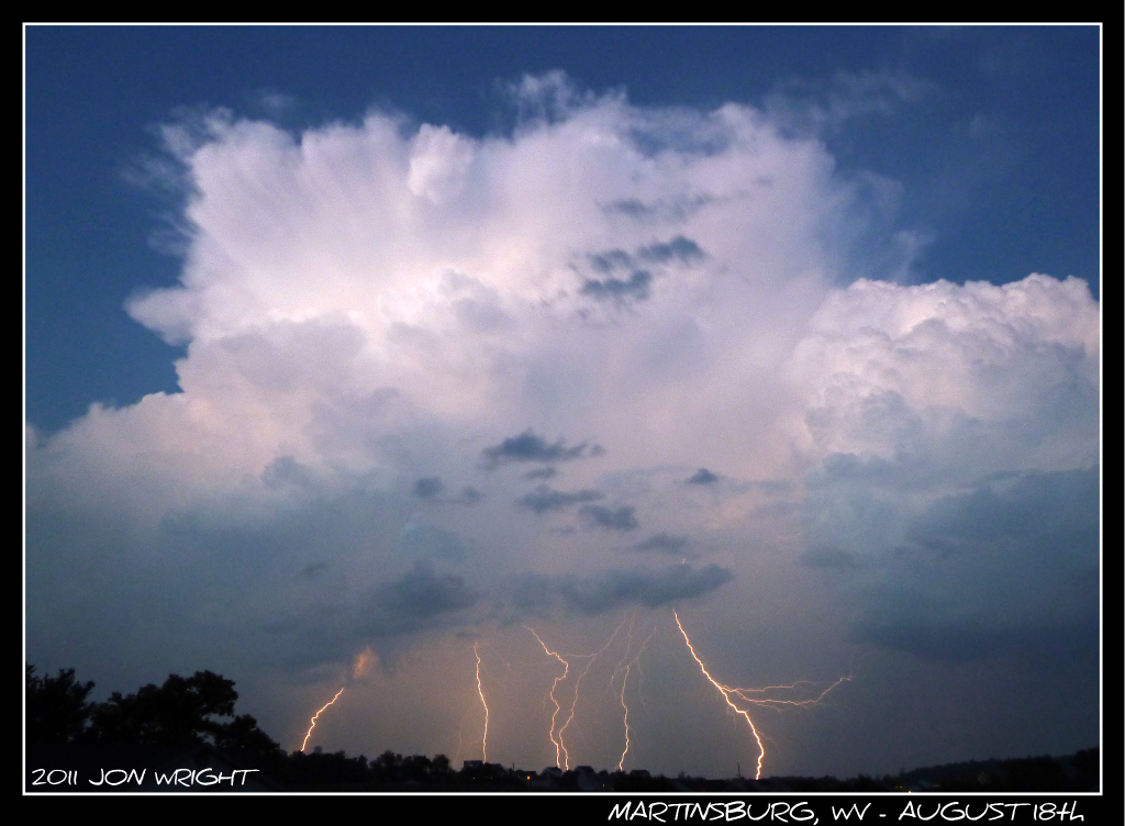
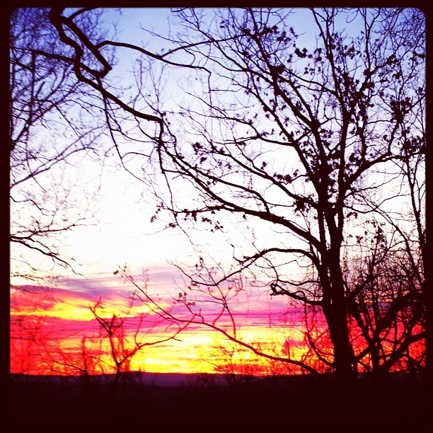
#sunset over spring mills, wv

Blair's Valley Lake - 2014-10-23 (47)
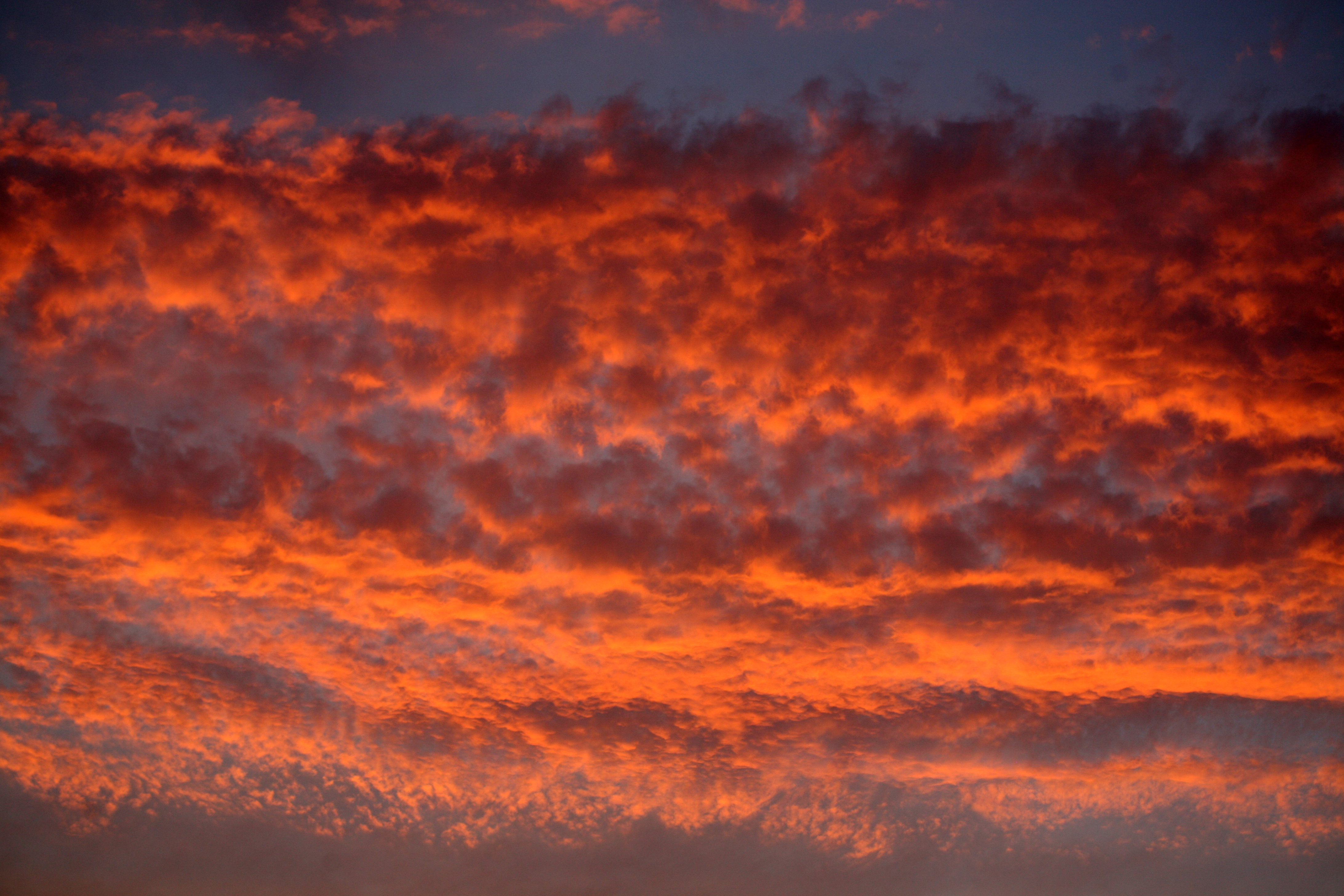
Highway Sunset 2 #SUNspotters

Blair's Valley Lake - 2014-10-23 (57)
Morning Opening Whitetail Ski Resort_Pa
Sun Rise

Blair's Valley Lake - 2014-10-23 (8)

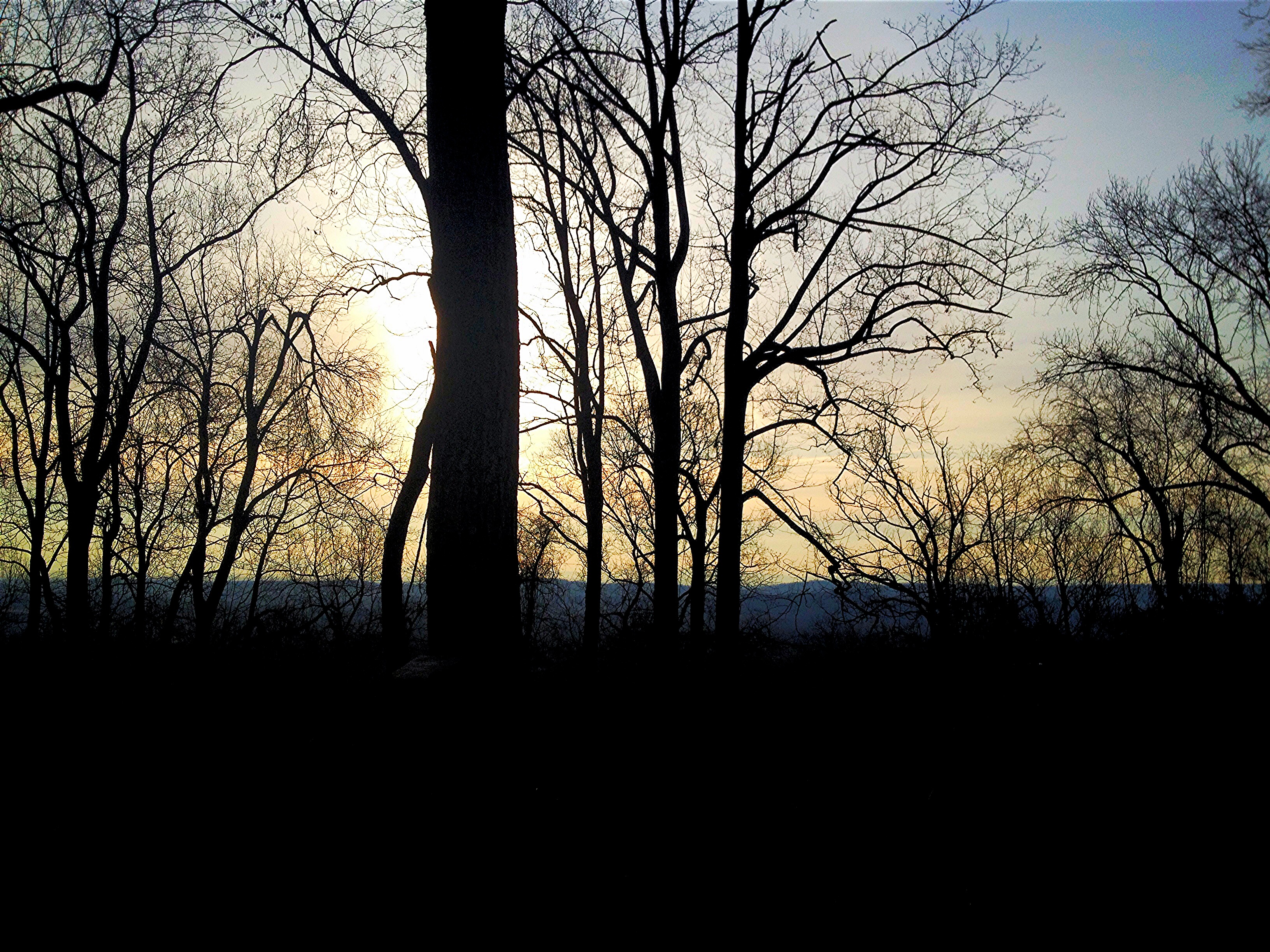
Remains of the Day
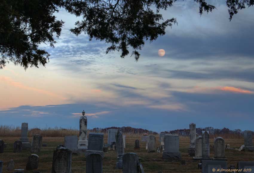
The Mount Tabor Church Graveyard at sunset

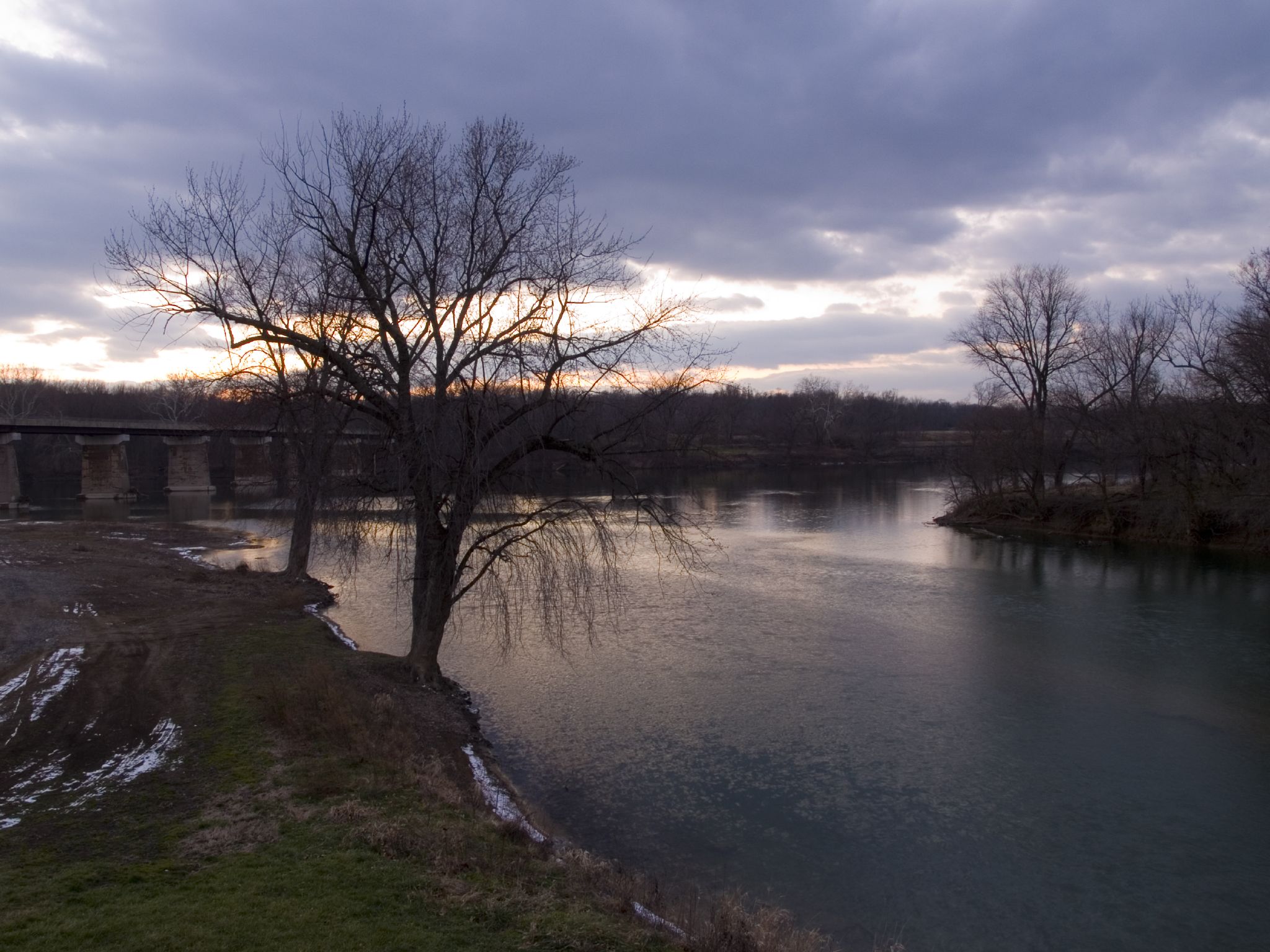
Potomac Park , Williamsport MD by River @ Sunset

The fog crept over the land
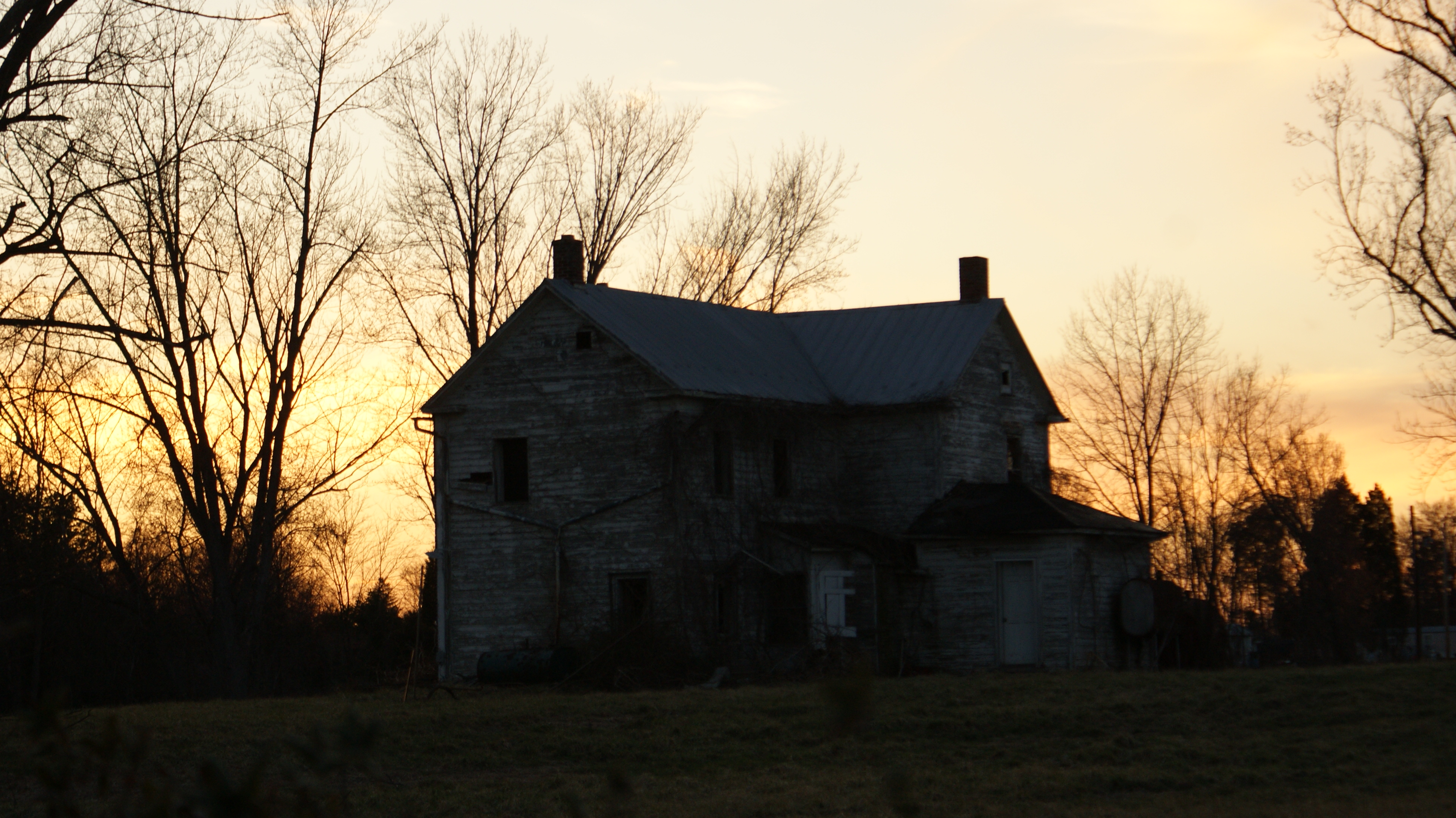
Abandoned Sunset
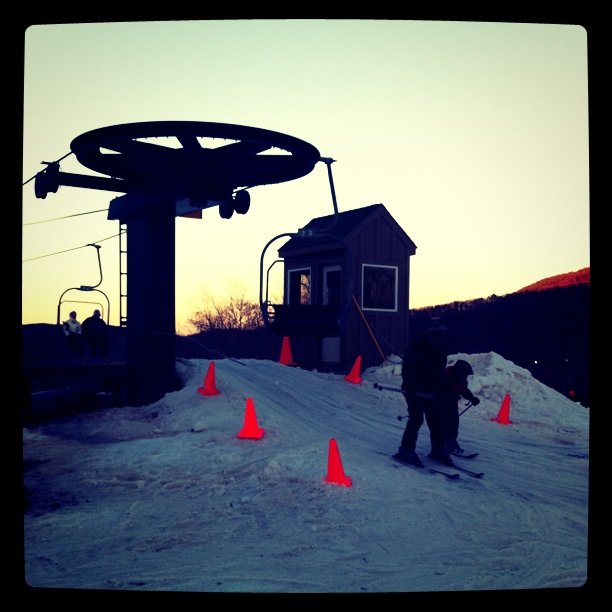
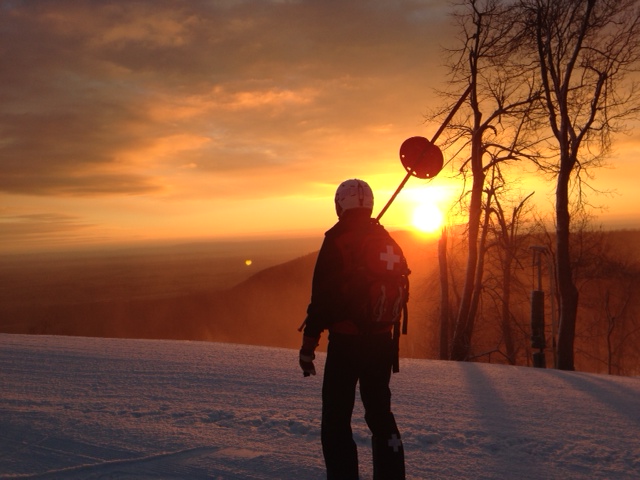
Sunset Ski Lift

C&O Canal National Historical Park, Maryland
Clear Spring, MD

WV October Sunset
canal sunset
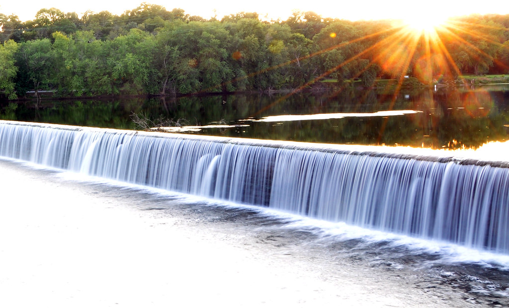
Dam 5 Sunset and waterfall
Digital colored pencil sketch on course paper surface
Morning sunrise

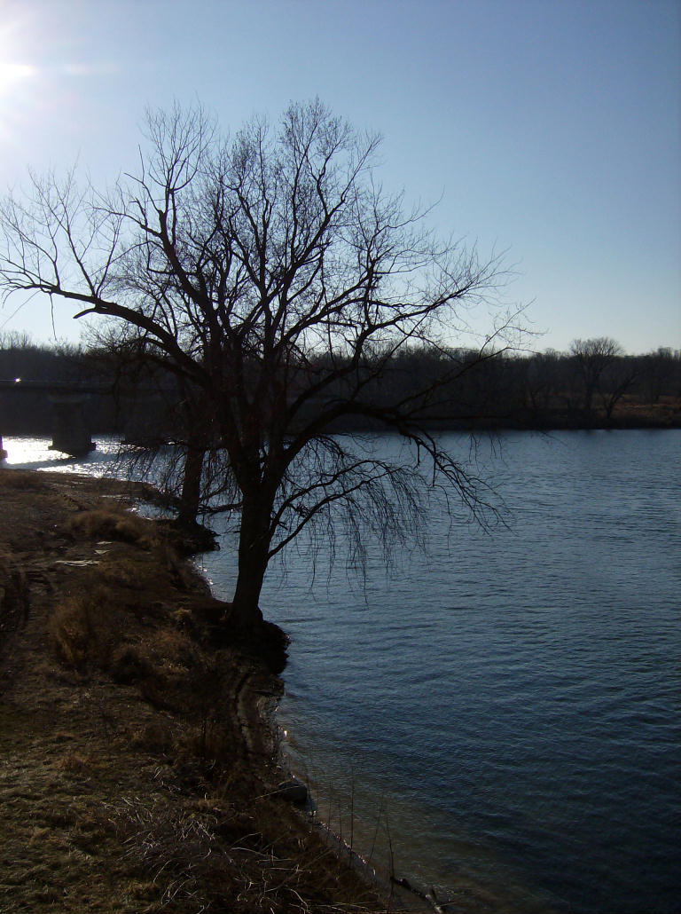
Morning on the Conococheague Creek in Williamsport MD
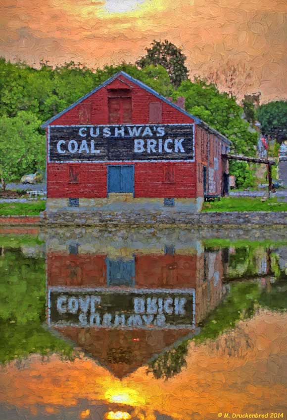
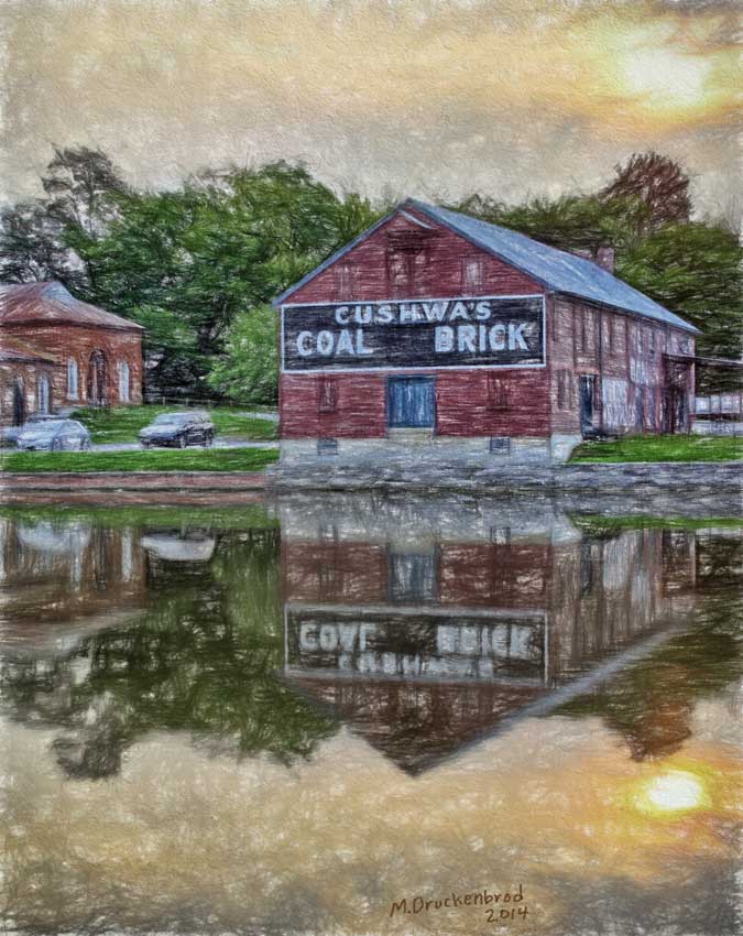
A digital painting of the Cushwa's Coal and Brick warehouse
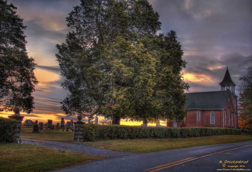
A Hagerstown Sunrise, MT. Tabor Church and Cemetary

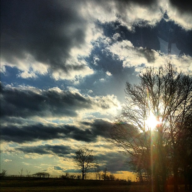
foggy sunrise
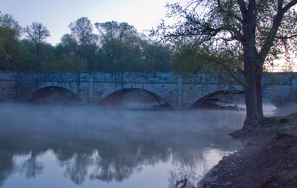
Concocheague Aqueduct Foggy

Running from the sunrise. Back to Motown.

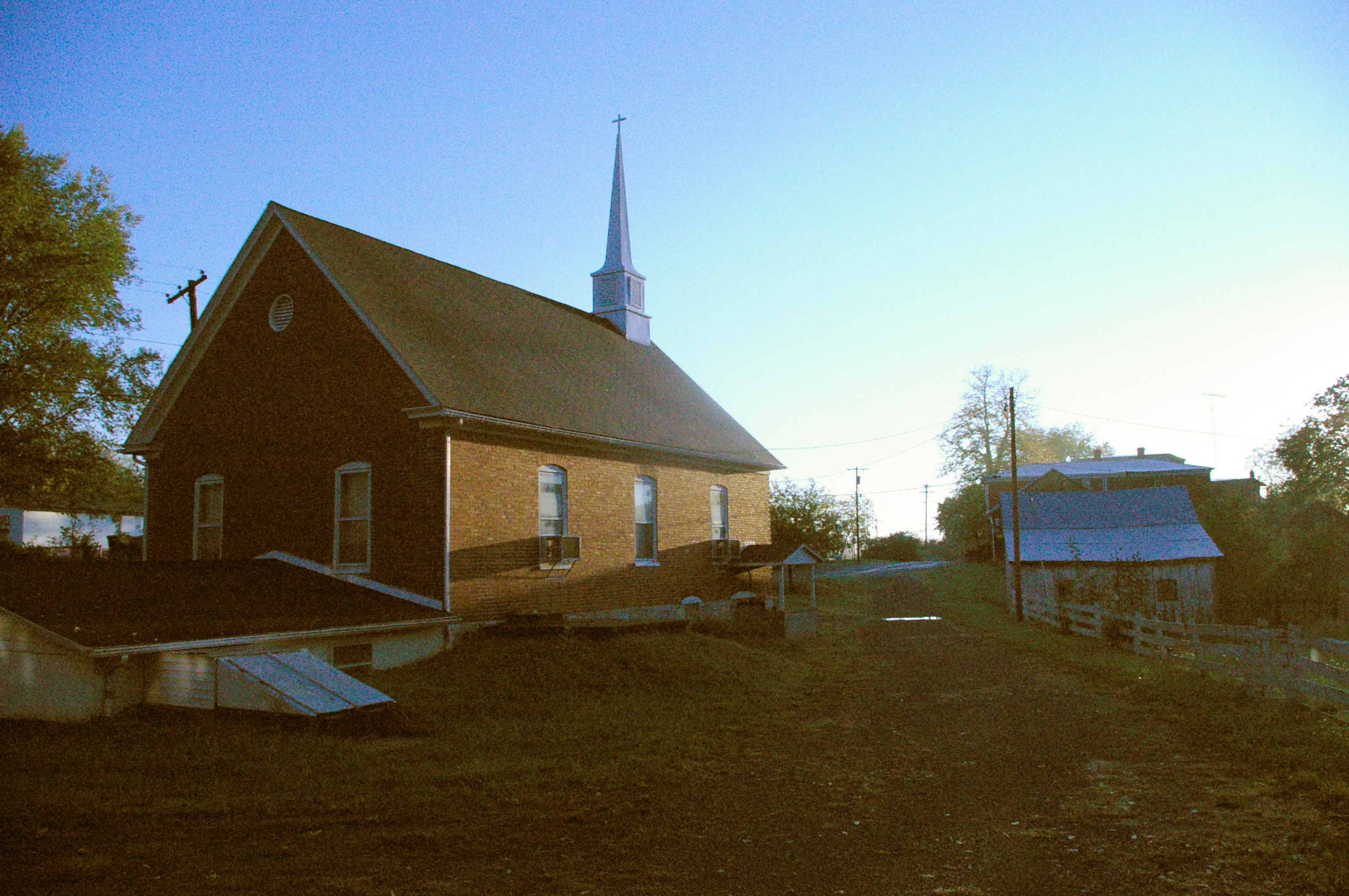
Mount Tabor Church, Hagerstown Maryland
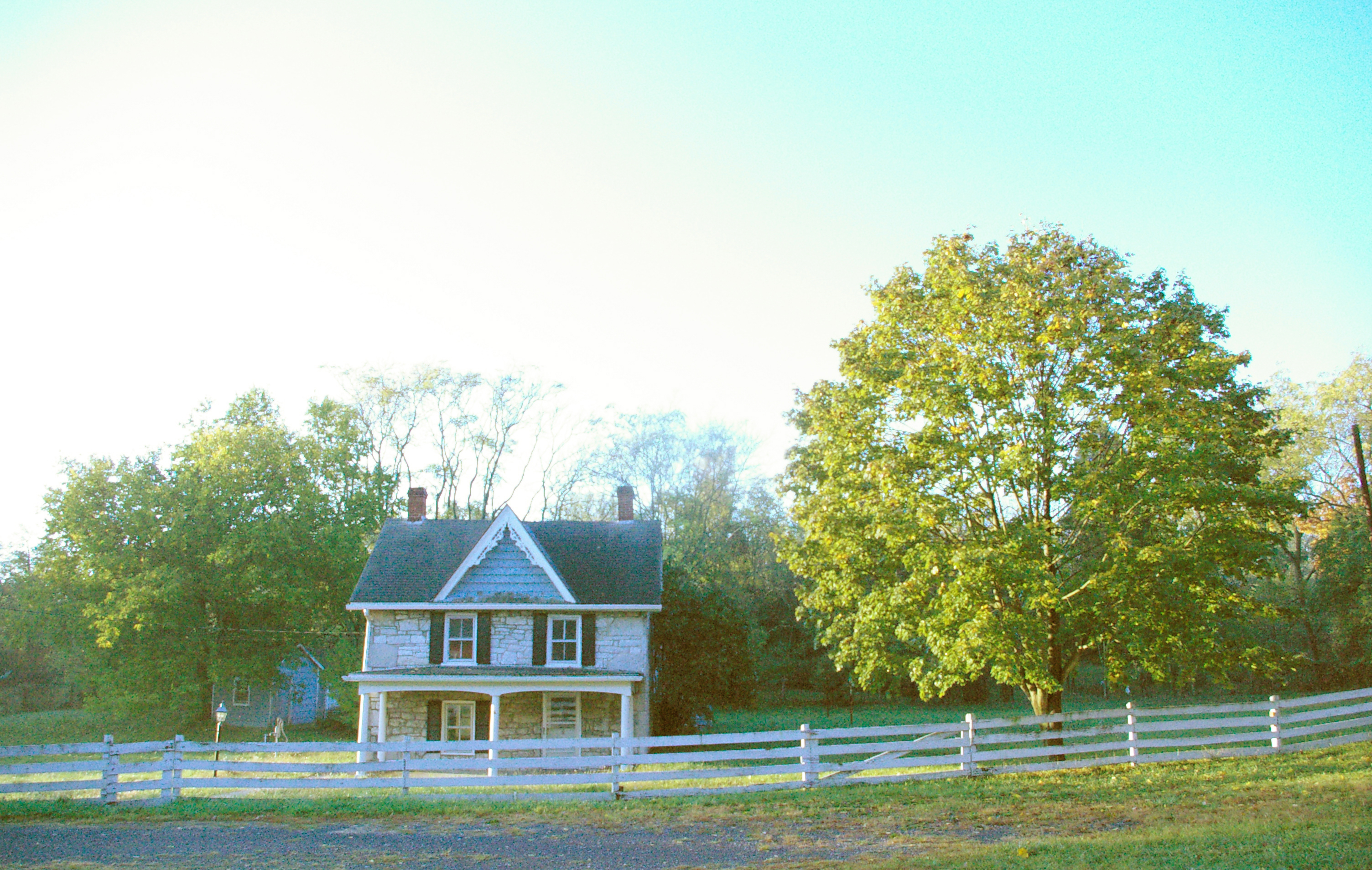
Victorian farmhouse at sunrise, Conococheague, Maryland
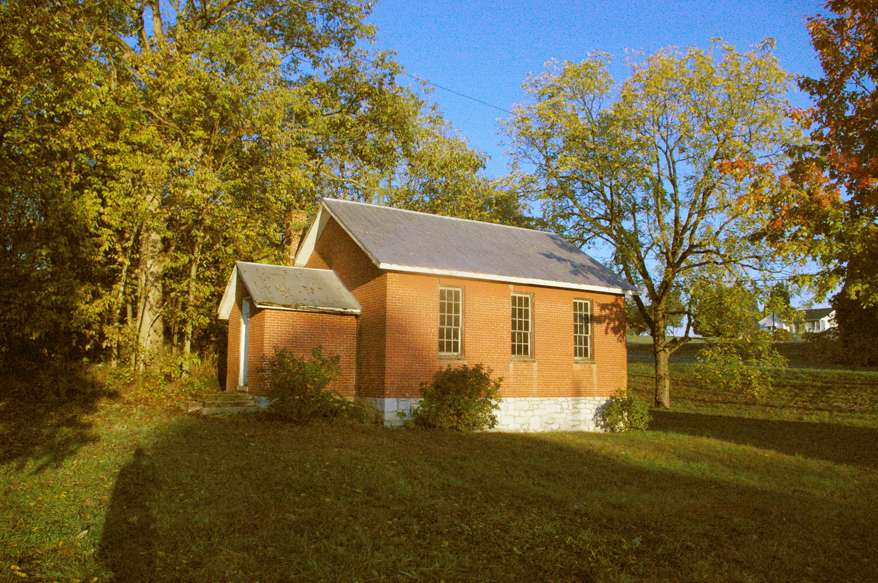
Wilson School, Conococheague, Maryland
Church, Conococheague, Maryland, at sunrise
15, Indian Spring, MD, USA Karte
Suchen Sie einen anderen Ort
Orte in 15, Indian Spring, MD, USA
Nahe Plätze
National Pike, Big Pool, MD, USA
Ernstville Rd, Big Pool, MD, USA
Big Pool, MD, USA
Big Pool Rd, Clear Spring, MD, USA
Ankenny Ln, Clear Spring, MD, USA
Conner Bowers Rd, Hedgesville, WV, USA
Conservation Dr, Hedgesville, WV, USA
Trouble Lane, Trouble Ln, West Virginia, USA
Allensville Rd, Hedgesville, WV, USA
Johnsontown, Valley, WV, USA
Colston Dr, Falling Waters, WV, USA
North Mountain, WV, USA
Hedgesville, West Virginia, USA
Aspero Lane, Aspero Ln, Falling Waters, WV, USA
Potomac, WV, USA
Falling Waters, West Virginia, USA
97 Wandering Pine Ln, Falling Waters, WV, USA
Belvedere Ct, Falling Waters, WV, USA
Stayman Dr, Falling Waters, WV, USA
Stayman Dr, Falling Waters, WV, USA
Letzte Suche
- Red Dog Mine, AK, USA Sonnenaufgang Sonnenuntergang Zeiten
- Am Bahnhof, Am bhf, Borken, Germany Sonnenaufgang Sonnenuntergang Zeiten
- 4th St E, Sonoma, CA, USA Sonnenaufgang Sonnenuntergang Zeiten
- Oakland Ave, Williamsport, PA, USA Sonnenaufgang Sonnenuntergang Zeiten
- Via Roma, Pieranica CR, Italien Sonnenaufgang Sonnenuntergang Zeiten
- Glockenturm, Grad, Dubrovnik, Kroatien Sonnenaufgang Sonnenuntergang Zeiten
- Trelew, Chubut Province, Argentina Sonnenaufgang Sonnenuntergang Zeiten
- Hartfords Bluff Cir, Mt Pleasant, SC, USA Sonnenaufgang Sonnenuntergang Zeiten
- Kita-ku, Kumamoto, Präfektur Kumamoto, Japan Sonnenaufgang Sonnenuntergang Zeiten
- Pingtan Island, Pingtan County, Fuzhou, China Sonnenaufgang Sonnenuntergang Zeiten