美国加利福尼亚州拉诺的日出日落时间表
Location: 美国 > 加利福尼亚州 > 洛杉矶县 >
时区:
America/Los_Angeles
当地时间:
2025-06-27 03:49:57
经度:
-117.8178409
纬度:
34.5058282
今天日出时间:
05:41:02 AM
今天日落时间:
08:08:00 PM
今天日照时常:
14h 26m 58s
明天日出时间:
05:41:25 AM
明天日落时间:
08:08:02 PM
明天日照时常:
14h 26m 37s
显示所有日期
| 日期 | 日出 | 日落 | 日照时常 |
|---|---|---|---|
| 2025年01月01日 | 06:58:09 AM | 04:52:50 PM | 9h 54m 41s |
| 2025年01月02日 | 06:58:17 AM | 04:53:37 PM | 9h 55m 20s |
| 2025年01月03日 | 06:58:23 AM | 04:54:26 PM | 9h 56m 3s |
| 2025年01月04日 | 06:58:27 AM | 04:55:15 PM | 9h 56m 48s |
| 2025年01月05日 | 06:58:29 AM | 04:56:05 PM | 9h 57m 36s |
| 2025年01月06日 | 06:58:29 AM | 04:56:57 PM | 9h 58m 28s |
| 2025年01月07日 | 06:58:27 AM | 04:57:49 PM | 9h 59m 22s |
| 2025年01月08日 | 06:58:24 AM | 04:58:42 PM | 10h 0m 18s |
| 2025年01月09日 | 06:58:19 AM | 04:59:36 PM | 10h 1m 17s |
| 2025年01月10日 | 06:58:11 AM | 05:00:30 PM | 10h 2m 19s |
| 2025年01月11日 | 06:58:02 AM | 05:01:25 PM | 10h 3m 23s |
| 2025年01月12日 | 06:57:51 AM | 05:02:21 PM | 10h 4m 30s |
| 2025年01月13日 | 06:57:38 AM | 05:03:17 PM | 10h 5m 39s |
| 2025年01月14日 | 06:57:23 AM | 05:04:14 PM | 10h 6m 51s |
| 2025年01月15日 | 06:57:07 AM | 05:05:12 PM | 10h 8m 5s |
| 2025年01月16日 | 06:56:48 AM | 05:06:10 PM | 10h 9m 22s |
| 2025年01月17日 | 06:56:28 AM | 05:07:08 PM | 10h 10m 40s |
| 2025年01月18日 | 06:56:06 AM | 05:08:06 PM | 10h 12m 0s |
| 2025年01月19日 | 06:55:42 AM | 05:09:05 PM | 10h 13m 23s |
| 2025年01月20日 | 06:55:16 AM | 05:10:05 PM | 10h 14m 49s |
| 2025年01月21日 | 06:54:48 AM | 05:11:04 PM | 10h 16m 16s |
| 2025年01月22日 | 06:54:19 AM | 05:12:04 PM | 10h 17m 45s |
| 2025年01月23日 | 06:53:48 AM | 05:13:04 PM | 10h 19m 16s |
| 2025年01月24日 | 06:53:15 AM | 05:14:04 PM | 10h 20m 49s |
| 2025年01月25日 | 06:52:41 AM | 05:15:04 PM | 10h 22m 23s |
| 2025年01月26日 | 06:52:05 AM | 05:16:04 PM | 10h 23m 59s |
| 2025年01月27日 | 06:51:27 AM | 05:17:04 PM | 10h 25m 37s |
| 2025年01月28日 | 06:50:47 AM | 05:18:04 PM | 10h 27m 17s |
| 2025年01月29日 | 06:50:06 AM | 05:19:05 PM | 10h 28m 59s |
| 2025年01月30日 | 06:49:24 AM | 05:20:05 PM | 10h 30m 41s |
| 2025年01月31日 | 06:48:40 AM | 05:21:05 PM | 10h 32m 25s |
| 2025年02月01日 | 06:47:54 AM | 05:22:05 PM | 10h 34m 11s |
| 2025年02月02日 | 06:47:07 AM | 05:23:04 PM | 10h 35m 57s |
| 2025年02月03日 | 06:46:18 AM | 05:24:04 PM | 10h 37m 46s |
| 2025年02月04日 | 06:45:28 AM | 05:25:04 PM | 10h 39m 36s |
| 2025年02月05日 | 06:44:37 AM | 05:26:03 PM | 10h 41m 26s |
| 2025年02月06日 | 06:43:44 AM | 05:27:02 PM | 10h 43m 18s |
| 2025年02月07日 | 06:42:50 AM | 05:28:01 PM | 10h 45m 11s |
| 2025年02月08日 | 06:41:54 AM | 05:28:59 PM | 10h 47m 5s |
| 2025年02月09日 | 06:40:57 AM | 05:29:58 PM | 10h 49m 1s |
| 2025年02月10日 | 06:39:59 AM | 05:30:56 PM | 10h 50m 57s |
| 2025年02月11日 | 06:39:00 AM | 05:31:53 PM | 10h 52m 53s |
| 2025年02月12日 | 06:38:00 AM | 05:32:51 PM | 10h 54m 51s |
| 2025年02月13日 | 06:36:58 AM | 05:33:48 PM | 10h 56m 50s |
| 2025年02月14日 | 06:35:55 AM | 05:34:45 PM | 10h 58m 50s |
| 2025年02月15日 | 06:34:51 AM | 05:35:41 PM | 11h 0m 50s |
| 2025年02月16日 | 06:33:46 AM | 05:36:37 PM | 11h 2m 51s |
| 2025年02月17日 | 06:32:40 AM | 05:37:33 PM | 11h 4m 53s |
| 2025年02月18日 | 06:31:33 AM | 05:38:29 PM | 11h 6m 56s |
| 2025年02月19日 | 06:30:25 AM | 05:39:24 PM | 11h 8m 59s |
| 2025年02月20日 | 06:29:16 AM | 05:40:19 PM | 11h 11m 3s |
| 2025年02月21日 | 06:28:06 AM | 05:41:13 PM | 11h 13m 7s |
| 2025年02月22日 | 06:26:56 AM | 05:42:07 PM | 11h 15m 11s |
| 2025年02月23日 | 06:25:44 AM | 05:43:01 PM | 11h 17m 17s |
| 2025年02月24日 | 06:24:31 AM | 05:43:55 PM | 11h 19m 24s |
| 2025年02月25日 | 06:23:18 AM | 05:44:48 PM | 11h 21m 30s |
| 2025年02月26日 | 06:22:04 AM | 05:45:40 PM | 11h 23m 36s |
| 2025年02月27日 | 06:20:49 AM | 05:46:33 PM | 11h 25m 44s |
| 2025年02月28日 | 06:19:34 AM | 05:47:25 PM | 11h 27m 51s |
| 2025年03月01日 | 06:18:18 AM | 05:48:17 PM | 11h 29m 59s |
| 2025年03月02日 | 06:17:01 AM | 05:49:08 PM | 11h 32m 7s |
| 2025年03月03日 | 06:15:44 AM | 05:49:59 PM | 11h 34m 15s |
| 2025年03月04日 | 06:14:26 AM | 05:50:50 PM | 11h 36m 24s |
| 2025年03月05日 | 06:13:07 AM | 05:51:41 PM | 11h 38m 34s |
| 2025年03月06日 | 06:11:48 AM | 05:52:31 PM | 11h 40m 43s |
| 2025年03月07日 | 06:10:29 AM | 05:53:21 PM | 11h 42m 52s |
| 2025年03月08日 | 06:09:09 AM | 05:54:11 PM | 11h 45m 2s |
| 2025年03月09日 | 07:07:52 AM | 06:54:58 PM | 11h 47m 6s |
| 2025年03月10日 | 07:06:31 AM | 06:55:47 PM | 11h 49m 16s |
| 2025年03月11日 | 07:05:10 AM | 06:56:36 PM | 11h 51m 26s |
| 2025年03月12日 | 07:03:49 AM | 06:57:25 PM | 11h 53m 36s |
| 2025年03月13日 | 07:02:27 AM | 06:58:14 PM | 11h 55m 47s |
| 2025年03月14日 | 07:01:05 AM | 06:59:02 PM | 11h 57m 57s |
| 2025年03月15日 | 06:59:43 AM | 06:59:50 PM | 12h 0m 7s |
| 2025年03月16日 | 06:58:21 AM | 07:00:38 PM | 12h 2m 17s |
| 2025年03月17日 | 06:56:58 AM | 07:01:26 PM | 12h 4m 28s |
| 2025年03月18日 | 06:55:35 AM | 07:02:14 PM | 12h 6m 39s |
| 2025年03月19日 | 06:54:12 AM | 07:03:01 PM | 12h 8m 49s |
| 2025年03月20日 | 06:52:49 AM | 07:03:49 PM | 12h 11m 0s |
| 2025年03月21日 | 06:51:26 AM | 07:04:36 PM | 12h 13m 10s |
| 2025年03月22日 | 06:50:03 AM | 07:05:23 PM | 12h 15m 20s |
| 2025年03月23日 | 06:48:40 AM | 07:06:10 PM | 12h 17m 30s |
| 2025年03月24日 | 06:47:17 AM | 07:06:57 PM | 12h 19m 40s |
| 2025年03月25日 | 06:45:54 AM | 07:07:44 PM | 12h 21m 50s |
| 2025年03月26日 | 06:44:31 AM | 07:08:30 PM | 12h 23m 59s |
| 2025年03月27日 | 06:43:08 AM | 07:09:17 PM | 12h 26m 9s |
| 2025年03月28日 | 06:41:45 AM | 07:10:04 PM | 12h 28m 19s |
| 2025年03月29日 | 06:40:23 AM | 07:10:50 PM | 12h 30m 27s |
| 2025年03月30日 | 06:39:00 AM | 07:11:37 PM | 12h 32m 37s |
| 2025年03月31日 | 06:37:38 AM | 07:12:23 PM | 12h 34m 45s |
| 2025年04月01日 | 06:36:16 AM | 07:13:10 PM | 12h 36m 54s |
| 2025年04月02日 | 06:34:55 AM | 07:13:56 PM | 12h 39m 1s |
| 2025年04月03日 | 06:33:33 AM | 07:14:43 PM | 12h 41m 10s |
| 2025年04月04日 | 06:32:13 AM | 07:15:30 PM | 12h 43m 17s |
| 2025年04月05日 | 06:30:52 AM | 07:16:16 PM | 12h 45m 24s |
| 2025年04月06日 | 06:29:32 AM | 07:17:03 PM | 12h 47m 31s |
| 2025年04月07日 | 06:28:12 AM | 07:17:49 PM | 12h 49m 37s |
| 2025年04月08日 | 06:26:53 AM | 07:18:36 PM | 12h 51m 43s |
| 2025年04月09日 | 06:25:34 AM | 07:19:23 PM | 12h 53m 49s |
| 2025年04月10日 | 06:24:16 AM | 07:20:10 PM | 12h 55m 54s |
| 2025年04月11日 | 06:22:58 AM | 07:20:56 PM | 12h 57m 58s |
| 2025年04月12日 | 06:21:41 AM | 07:21:43 PM | 13h 0m 2s |
| 2025年04月13日 | 06:20:24 AM | 07:22:30 PM | 13h 2m 6s |
| 2025年04月14日 | 06:19:08 AM | 07:23:17 PM | 13h 4m 9s |
| 2025年04月15日 | 06:17:53 AM | 07:24:04 PM | 13h 6m 11s |
| 2025年04月16日 | 06:16:38 AM | 07:24:52 PM | 13h 8m 14s |
| 2025年04月17日 | 06:15:24 AM | 07:25:39 PM | 13h 10m 15s |
| 2025年04月18日 | 06:14:11 AM | 07:26:26 PM | 13h 12m 15s |
| 2025年04月19日 | 06:12:59 AM | 07:27:14 PM | 13h 14m 15s |
| 2025年04月20日 | 06:11:47 AM | 07:28:01 PM | 13h 16m 14s |
| 2025年04月21日 | 06:10:36 AM | 07:28:48 PM | 13h 18m 12s |
| 2025年04月22日 | 06:09:26 AM | 07:29:36 PM | 13h 20m 10s |
| 2025年04月23日 | 06:08:17 AM | 07:30:24 PM | 13h 22m 7s |
| 2025年04月24日 | 06:07:09 AM | 07:31:11 PM | 13h 24m 2s |
| 2025年04月25日 | 06:06:02 AM | 07:31:59 PM | 13h 25m 57s |
| 2025年04月26日 | 06:04:56 AM | 07:32:47 PM | 13h 27m 51s |
| 2025年04月27日 | 06:03:50 AM | 07:33:35 PM | 13h 29m 45s |
| 2025年04月28日 | 06:02:46 AM | 07:34:22 PM | 13h 31m 36s |
| 2025年04月29日 | 06:01:43 AM | 07:35:10 PM | 13h 33m 27s |
| 2025年04月30日 | 06:00:41 AM | 07:35:58 PM | 13h 35m 17s |
| 2025年05月01日 | 05:59:40 AM | 07:36:46 PM | 13h 37m 6s |
| 2025年05月02日 | 05:58:40 AM | 07:37:33 PM | 13h 38m 53s |
| 2025年05月03日 | 05:57:41 AM | 07:38:21 PM | 13h 40m 40s |
| 2025年05月04日 | 05:56:44 AM | 07:39:09 PM | 13h 42m 25s |
| 2025年05月05日 | 05:55:48 AM | 07:39:56 PM | 13h 44m 8s |
| 2025年05月06日 | 05:54:52 AM | 07:40:44 PM | 13h 45m 52s |
| 2025年05月07日 | 05:53:59 AM | 07:41:31 PM | 13h 47m 32s |
| 2025年05月08日 | 05:53:06 AM | 07:42:18 PM | 13h 49m 12s |
| 2025年05月09日 | 05:52:15 AM | 07:43:05 PM | 13h 50m 50s |
| 2025年05月10日 | 05:51:25 AM | 07:43:52 PM | 13h 52m 27s |
| 2025年05月11日 | 05:50:36 AM | 07:44:39 PM | 13h 54m 3s |
| 2025年05月12日 | 05:49:49 AM | 07:45:25 PM | 13h 55m 36s |
| 2025年05月13日 | 05:49:03 AM | 07:46:12 PM | 13h 57m 9s |
| 2025年05月14日 | 05:48:19 AM | 07:46:58 PM | 13h 58m 39s |
| 2025年05月15日 | 05:47:36 AM | 07:47:43 PM | 14h 0m 7s |
| 2025年05月16日 | 05:46:54 AM | 07:48:28 PM | 14h 1m 34s |
| 2025年05月17日 | 05:46:14 AM | 07:49:13 PM | 14h 2m 59s |
| 2025年05月18日 | 05:45:35 AM | 07:49:58 PM | 14h 4m 23s |
| 2025年05月19日 | 05:44:58 AM | 07:50:42 PM | 14h 5m 44s |
| 2025年05月20日 | 05:44:23 AM | 07:51:26 PM | 14h 7m 3s |
| 2025年05月21日 | 05:43:49 AM | 07:52:09 PM | 14h 8m 20s |
| 2025年05月22日 | 05:43:16 AM | 07:52:52 PM | 14h 9m 36s |
| 2025年05月23日 | 05:42:45 AM | 07:53:34 PM | 14h 10m 49s |
| 2025年05月24日 | 05:42:16 AM | 07:54:15 PM | 14h 11m 59s |
| 2025年05月25日 | 05:41:48 AM | 07:54:56 PM | 14h 13m 8s |
| 2025年05月26日 | 05:41:22 AM | 07:55:37 PM | 14h 14m 15s |
| 2025年05月27日 | 05:40:57 AM | 07:56:16 PM | 14h 15m 19s |
| 2025年05月28日 | 05:40:34 AM | 07:56:55 PM | 14h 16m 21s |
| 2025年05月29日 | 05:40:13 AM | 07:57:33 PM | 14h 17m 20s |
| 2025年05月30日 | 05:39:53 AM | 07:58:11 PM | 14h 18m 18s |
| 2025年05月31日 | 05:39:35 AM | 07:58:47 PM | 14h 19m 12s |
| 2025年06月01日 | 05:39:18 AM | 07:59:23 PM | 14h 20m 5s |
| 2025年06月02日 | 05:39:03 AM | 07:59:58 PM | 14h 20m 55s |
| 2025年06月03日 | 05:38:50 AM | 08:00:32 PM | 14h 21m 42s |
| 2025年06月04日 | 05:38:38 AM | 08:01:05 PM | 14h 22m 27s |
| 2025年06月05日 | 05:38:28 AM | 08:01:37 PM | 14h 23m 9s |
| 2025年06月06日 | 05:38:20 AM | 08:02:07 PM | 14h 23m 47s |
| 2025年06月07日 | 05:38:13 AM | 08:02:37 PM | 14h 24m 24s |
| 2025年06月08日 | 05:38:08 AM | 08:03:06 PM | 14h 24m 58s |
| 2025年06月09日 | 05:38:05 AM | 08:03:34 PM | 14h 25m 29s |
| 2025年06月10日 | 05:38:03 AM | 08:04:00 PM | 14h 25m 57s |
| 2025年06月11日 | 05:38:02 AM | 08:04:25 PM | 14h 26m 23s |
| 2025年06月12日 | 05:38:03 AM | 08:04:49 PM | 14h 26m 46s |
| 2025年06月13日 | 05:38:06 AM | 08:05:12 PM | 14h 27m 6s |
| 2025年06月14日 | 05:38:10 AM | 08:05:33 PM | 14h 27m 23s |
| 2025年06月15日 | 05:38:16 AM | 08:05:53 PM | 14h 27m 37s |
| 2025年06月16日 | 05:38:23 AM | 08:06:12 PM | 14h 27m 49s |
| 2025年06月17日 | 05:38:32 AM | 08:06:29 PM | 14h 27m 57s |
| 2025年06月18日 | 05:38:43 AM | 08:06:45 PM | 14h 28m 2s |
| 2025年06月19日 | 05:38:54 AM | 08:07:00 PM | 14h 28m 6s |
| 2025年06月20日 | 05:39:07 AM | 08:07:13 PM | 14h 28m 6s |
| 2025年06月21日 | 05:39:22 AM | 08:07:24 PM | 14h 28m 2s |
| 2025年06月22日 | 05:39:38 AM | 08:07:34 PM | 14h 27m 56s |
| 2025年06月23日 | 05:39:55 AM | 08:07:43 PM | 14h 27m 48s |
| 2025年06月24日 | 05:40:13 AM | 08:07:50 PM | 14h 27m 37s |
| 2025年06月25日 | 05:40:33 AM | 08:07:55 PM | 14h 27m 22s |
| 2025年06月26日 | 05:40:54 AM | 08:07:59 PM | 14h 27m 5s |
| 2025年06月27日 | 05:41:16 AM | 08:08:01 PM | 14h 26m 45s |
| 2025年06月28日 | 05:41:40 AM | 08:08:02 PM | 14h 26m 22s |
| 2025年06月29日 | 05:42:05 AM | 08:08:01 PM | 14h 25m 56s |
| 2025年06月30日 | 05:42:30 AM | 08:07:59 PM | 14h 25m 29s |
| 2025年07月01日 | 05:42:57 AM | 08:07:54 PM | 14h 24m 57s |
| 2025年07月02日 | 05:43:25 AM | 08:07:48 PM | 14h 24m 23s |
| 2025年07月03日 | 05:43:54 AM | 08:07:41 PM | 14h 23m 47s |
| 2025年07月04日 | 05:44:24 AM | 08:07:32 PM | 14h 23m 8s |
| 2025年07月05日 | 05:44:55 AM | 08:07:21 PM | 14h 22m 26s |
| 2025年07月06日 | 05:45:27 AM | 08:07:08 PM | 14h 21m 41s |
| 2025年07月07日 | 05:45:59 AM | 08:06:54 PM | 14h 20m 55s |
| 2025年07月08日 | 05:46:33 AM | 08:06:38 PM | 14h 20m 5s |
| 2025年07月09日 | 05:47:07 AM | 08:06:20 PM | 14h 19m 13s |
| 2025年07月10日 | 05:47:42 AM | 08:06:01 PM | 14h 18m 19s |
| 2025年07月11日 | 05:48:18 AM | 08:05:40 PM | 14h 17m 22s |
| 2025年07月12日 | 05:48:55 AM | 08:05:18 PM | 14h 16m 23s |
| 2025年07月13日 | 05:49:32 AM | 08:04:53 PM | 14h 15m 21s |
| 2025年07月14日 | 05:50:10 AM | 08:04:28 PM | 14h 14m 18s |
| 2025年07月15日 | 05:50:49 AM | 08:04:00 PM | 14h 13m 11s |
| 2025年07月16日 | 05:51:28 AM | 08:03:31 PM | 14h 12m 3s |
| 2025年07月17日 | 05:52:08 AM | 08:03:00 PM | 14h 10m 52s |
| 2025年07月18日 | 05:52:48 AM | 08:02:28 PM | 14h 9m 40s |
| 2025年07月19日 | 05:53:28 AM | 08:01:54 PM | 14h 8m 26s |
| 2025年07月20日 | 05:54:09 AM | 08:01:19 PM | 14h 7m 10s |
| 2025年07月21日 | 05:54:51 AM | 08:00:42 PM | 14h 5m 51s |
| 2025年07月22日 | 05:55:33 AM | 08:00:03 PM | 14h 4m 30s |
| 2025年07月23日 | 05:56:15 AM | 07:59:23 PM | 14h 3m 8s |
| 2025年07月24日 | 05:56:58 AM | 07:58:41 PM | 14h 1m 43s |
| 2025年07月25日 | 05:57:40 AM | 07:57:58 PM | 14h 0m 18s |
| 2025年07月26日 | 05:58:24 AM | 07:57:14 PM | 13h 58m 50s |
| 2025年07月27日 | 05:59:07 AM | 07:56:28 PM | 13h 57m 21s |
| 2025年07月28日 | 05:59:50 AM | 07:55:40 PM | 13h 55m 50s |
| 2025年07月29日 | 06:00:34 AM | 07:54:52 PM | 13h 54m 18s |
| 2025年07月30日 | 06:01:18 AM | 07:54:01 PM | 13h 52m 43s |
| 2025年07月31日 | 06:02:02 AM | 07:53:10 PM | 13h 51m 8s |
| 2025年08月01日 | 06:02:46 AM | 07:52:17 PM | 13h 49m 31s |
| 2025年08月02日 | 06:03:31 AM | 07:51:23 PM | 13h 47m 52s |
| 2025年08月03日 | 06:04:15 AM | 07:50:27 PM | 13h 46m 12s |
| 2025年08月04日 | 06:04:59 AM | 07:49:30 PM | 13h 44m 31s |
| 2025年08月05日 | 06:05:44 AM | 07:48:32 PM | 13h 42m 48s |
| 2025年08月06日 | 06:06:28 AM | 07:47:33 PM | 13h 41m 5s |
| 2025年08月07日 | 06:07:13 AM | 07:46:33 PM | 13h 39m 20s |
| 2025年08月08日 | 06:07:57 AM | 07:45:31 PM | 13h 37m 34s |
| 2025年08月09日 | 06:08:42 AM | 07:44:29 PM | 13h 35m 47s |
| 2025年08月10日 | 06:09:26 AM | 07:43:25 PM | 13h 33m 59s |
| 2025年08月11日 | 06:10:11 AM | 07:42:20 PM | 13h 32m 9s |
| 2025年08月12日 | 06:10:55 AM | 07:41:14 PM | 13h 30m 19s |
| 2025年08月13日 | 06:11:40 AM | 07:40:07 PM | 13h 28m 27s |
| 2025年08月14日 | 06:12:24 AM | 07:38:59 PM | 13h 26m 35s |
| 2025年08月15日 | 06:13:08 AM | 07:37:50 PM | 13h 24m 42s |
| 2025年08月16日 | 06:13:52 AM | 07:36:40 PM | 13h 22m 48s |
| 2025年08月17日 | 06:14:36 AM | 07:35:29 PM | 13h 20m 53s |
| 2025年08月18日 | 06:15:20 AM | 07:34:17 PM | 13h 18m 57s |
| 2025年08月19日 | 06:16:04 AM | 07:33:05 PM | 13h 17m 1s |
| 2025年08月20日 | 06:16:48 AM | 07:31:51 PM | 13h 15m 3s |
| 2025年08月21日 | 06:17:31 AM | 07:30:37 PM | 13h 13m 6s |
| 2025年08月22日 | 06:18:15 AM | 07:29:22 PM | 13h 11m 7s |
| 2025年08月23日 | 06:18:58 AM | 07:28:06 PM | 13h 9m 8s |
| 2025年08月24日 | 06:19:42 AM | 07:26:50 PM | 13h 7m 8s |
| 2025年08月25日 | 06:20:25 AM | 07:25:32 PM | 13h 5m 7s |
| 2025年08月26日 | 06:21:08 AM | 07:24:15 PM | 13h 3m 7s |
| 2025年08月27日 | 06:21:51 AM | 07:22:56 PM | 13h 1m 5s |
| 2025年08月28日 | 06:22:34 AM | 07:21:37 PM | 12h 59m 3s |
| 2025年08月29日 | 06:23:17 AM | 07:20:17 PM | 12h 57m 0s |
| 2025年08月30日 | 06:24:00 AM | 07:18:57 PM | 12h 54m 57s |
| 2025年08月31日 | 06:24:42 AM | 07:17:36 PM | 12h 52m 54s |
| 2025年09月01日 | 06:25:25 AM | 07:16:15 PM | 12h 50m 50s |
| 2025年09月02日 | 06:26:07 AM | 07:14:53 PM | 12h 48m 46s |
| 2025年09月03日 | 06:26:50 AM | 07:13:31 PM | 12h 46m 41s |
| 2025年09月04日 | 06:27:32 AM | 07:12:08 PM | 12h 44m 36s |
| 2025年09月05日 | 06:28:15 AM | 07:10:45 PM | 12h 42m 30s |
| 2025年09月06日 | 06:28:57 AM | 07:09:22 PM | 12h 40m 25s |
| 2025年09月07日 | 06:29:39 AM | 07:07:58 PM | 12h 38m 19s |
| 2025年09月08日 | 06:30:22 AM | 07:06:34 PM | 12h 36m 12s |
| 2025年09月09日 | 06:31:04 AM | 07:05:10 PM | 12h 34m 6s |
| 2025年09月10日 | 06:31:46 AM | 07:03:45 PM | 12h 31m 59s |
| 2025年09月11日 | 06:32:28 AM | 07:02:20 PM | 12h 29m 52s |
| 2025年09月12日 | 06:33:11 AM | 07:00:55 PM | 12h 27m 44s |
| 2025年09月13日 | 06:33:53 AM | 06:59:30 PM | 12h 25m 37s |
| 2025年09月14日 | 06:34:35 AM | 06:58:05 PM | 12h 23m 30s |
| 2025年09月15日 | 06:35:18 AM | 06:56:40 PM | 12h 21m 22s |
| 2025年09月16日 | 06:36:00 AM | 06:55:14 PM | 12h 19m 14s |
| 2025年09月17日 | 06:36:43 AM | 06:53:49 PM | 12h 17m 6s |
| 2025年09月18日 | 06:37:26 AM | 06:52:23 PM | 12h 14m 57s |
| 2025年09月19日 | 06:38:08 AM | 06:50:58 PM | 12h 12m 50s |
| 2025年09月20日 | 06:38:51 AM | 06:49:33 PM | 12h 10m 42s |
| 2025年09月21日 | 06:39:34 AM | 06:48:07 PM | 12h 8m 33s |
| 2025年09月22日 | 06:40:17 AM | 06:46:42 PM | 12h 6m 25s |
| 2025年09月23日 | 06:41:01 AM | 06:45:17 PM | 12h 4m 16s |
| 2025年09月24日 | 06:41:44 AM | 06:43:52 PM | 12h 2m 8s |
| 2025年09月25日 | 06:42:28 AM | 06:42:27 PM | 11h 59m 59s |
| 2025年09月26日 | 06:43:12 AM | 06:41:02 PM | 11h 57m 50s |
| 2025年09月27日 | 06:43:56 AM | 06:39:38 PM | 11h 55m 42s |
| 2025年09月28日 | 06:44:40 AM | 06:38:14 PM | 11h 53m 34s |
| 2025年09月29日 | 06:45:24 AM | 06:36:50 PM | 11h 51m 26s |
| 2025年09月30日 | 06:46:09 AM | 06:35:27 PM | 11h 49m 18s |
| 2025年10月01日 | 06:46:54 AM | 06:34:04 PM | 11h 47m 10s |
| 2025年10月02日 | 06:47:39 AM | 06:32:41 PM | 11h 45m 2s |
| 2025年10月03日 | 06:48:24 AM | 06:31:19 PM | 11h 42m 55s |
| 2025年10月04日 | 06:49:10 AM | 06:29:57 PM | 11h 40m 47s |
| 2025年10月05日 | 06:49:56 AM | 06:28:36 PM | 11h 38m 40s |
| 2025年10月06日 | 06:50:42 AM | 06:27:15 PM | 11h 36m 33s |
| 2025年10月07日 | 06:51:29 AM | 06:25:55 PM | 11h 34m 26s |
| 2025年10月08日 | 06:52:16 AM | 06:24:35 PM | 11h 32m 19s |
| 2025年10月09日 | 06:53:03 AM | 06:23:16 PM | 11h 30m 13s |
| 2025年10月10日 | 06:53:51 AM | 06:21:57 PM | 11h 28m 6s |
| 2025年10月11日 | 06:54:39 AM | 06:20:39 PM | 11h 26m 0s |
| 2025年10月12日 | 06:55:27 AM | 06:19:22 PM | 11h 23m 55s |
| 2025年10月13日 | 06:56:16 AM | 06:18:06 PM | 11h 21m 50s |
| 2025年10月14日 | 06:57:04 AM | 06:16:50 PM | 11h 19m 46s |
| 2025年10月15日 | 06:57:54 AM | 06:15:35 PM | 11h 17m 41s |
| 2025年10月16日 | 06:58:43 AM | 06:14:21 PM | 11h 15m 38s |
| 2025年10月17日 | 06:59:33 AM | 06:13:08 PM | 11h 13m 35s |
| 2025年10月18日 | 07:00:24 AM | 06:11:55 PM | 11h 11m 31s |
| 2025年10月19日 | 07:01:15 AM | 06:10:44 PM | 11h 9m 29s |
| 2025年10月20日 | 07:02:06 AM | 06:09:33 PM | 11h 7m 27s |
| 2025年10月21日 | 07:02:57 AM | 06:08:24 PM | 11h 5m 27s |
| 2025年10月22日 | 07:03:49 AM | 06:07:15 PM | 11h 3m 26s |
| 2025年10月23日 | 07:04:41 AM | 06:06:08 PM | 11h 1m 27s |
| 2025年10月24日 | 07:05:34 AM | 06:05:01 PM | 10h 59m 27s |
| 2025年10月25日 | 07:06:27 AM | 06:03:56 PM | 10h 57m 29s |
| 2025年10月26日 | 07:07:20 AM | 06:02:52 PM | 10h 55m 32s |
| 2025年10月27日 | 07:08:14 AM | 06:01:49 PM | 10h 53m 35s |
| 2025年10月28日 | 07:09:08 AM | 06:00:47 PM | 10h 51m 39s |
| 2025年10月29日 | 07:10:02 AM | 05:59:46 PM | 10h 49m 44s |
| 2025年10月30日 | 07:10:57 AM | 05:58:46 PM | 10h 47m 49s |
| 2025年10月31日 | 07:11:52 AM | 05:57:48 PM | 10h 45m 56s |
| 2025年11月01日 | 07:12:47 AM | 05:56:51 PM | 10h 44m 4s |
| 2025年11月02日 | 06:13:45 AM | 04:55:54 PM | 10h 42m 9s |
| 2025年11月03日 | 06:14:41 AM | 04:55:00 PM | 10h 40m 19s |
| 2025年11月04日 | 06:15:37 AM | 04:54:07 PM | 10h 38m 30s |
| 2025年11月05日 | 06:16:33 AM | 04:53:16 PM | 10h 36m 43s |
| 2025年11月06日 | 06:17:30 AM | 04:52:26 PM | 10h 34m 56s |
| 2025年11月07日 | 06:18:27 AM | 04:51:37 PM | 10h 33m 10s |
| 2025年11月08日 | 06:19:23 AM | 04:50:51 PM | 10h 31m 28s |
| 2025年11月09日 | 06:20:21 AM | 04:50:05 PM | 10h 29m 44s |
| 2025年11月10日 | 06:21:18 AM | 04:49:22 PM | 10h 28m 4s |
| 2025年11月11日 | 06:22:15 AM | 04:48:40 PM | 10h 26m 25s |
| 2025年11月12日 | 06:23:12 AM | 04:47:59 PM | 10h 24m 47s |
| 2025年11月13日 | 06:24:10 AM | 04:47:20 PM | 10h 23m 10s |
| 2025年11月14日 | 06:25:07 AM | 04:46:43 PM | 10h 21m 36s |
| 2025年11月15日 | 06:26:05 AM | 04:46:08 PM | 10h 20m 3s |
| 2025年11月16日 | 06:27:02 AM | 04:45:34 PM | 10h 18m 32s |
| 2025年11月17日 | 06:27:59 AM | 04:45:02 PM | 10h 17m 3s |
| 2025年11月18日 | 06:28:56 AM | 04:44:32 PM | 10h 15m 36s |
| 2025年11月19日 | 06:29:53 AM | 04:44:04 PM | 10h 14m 11s |
| 2025年11月20日 | 06:30:50 AM | 04:43:37 PM | 10h 12m 47s |
| 2025年11月21日 | 06:31:47 AM | 04:43:12 PM | 10h 11m 25s |
| 2025年11月22日 | 06:32:43 AM | 04:42:49 PM | 10h 10m 6s |
| 2025年11月23日 | 06:33:39 AM | 04:42:28 PM | 10h 8m 49s |
| 2025年11月24日 | 06:34:35 AM | 04:42:09 PM | 10h 7m 34s |
| 2025年11月25日 | 06:35:30 AM | 04:41:51 PM | 10h 6m 21s |
| 2025年11月26日 | 06:36:25 AM | 04:41:36 PM | 10h 5m 11s |
| 2025年11月27日 | 06:37:19 AM | 04:41:22 PM | 10h 4m 3s |
| 2025年11月28日 | 06:38:13 AM | 04:41:11 PM | 10h 2m 58s |
| 2025年11月29日 | 06:39:06 AM | 04:41:01 PM | 10h 1m 55s |
| 2025年11月30日 | 06:39:59 AM | 04:40:53 PM | 10h 0m 54s |
| 2025年12月01日 | 06:40:51 AM | 04:40:47 PM | 9h 59m 56s |
| 2025年12月02日 | 06:41:42 AM | 04:40:43 PM | 9h 59m 1s |
| 2025年12月03日 | 06:42:33 AM | 04:40:41 PM | 9h 58m 8s |
| 2025年12月04日 | 06:43:22 AM | 04:40:41 PM | 9h 57m 19s |
| 2025年12月05日 | 06:44:11 AM | 04:40:43 PM | 9h 56m 32s |
| 2025年12月06日 | 06:44:59 AM | 04:40:47 PM | 9h 55m 48s |
| 2025年12月07日 | 06:45:46 AM | 04:40:53 PM | 9h 55m 7s |
| 2025年12月08日 | 06:46:32 AM | 04:41:00 PM | 9h 54m 28s |
| 2025年12月09日 | 06:47:17 AM | 04:41:10 PM | 9h 53m 53s |
| 2025年12月10日 | 06:48:01 AM | 04:41:21 PM | 9h 53m 20s |
| 2025年12月11日 | 06:48:44 AM | 04:41:34 PM | 9h 52m 50s |
| 2025年12月12日 | 06:49:25 AM | 04:41:49 PM | 9h 52m 24s |
| 2025年12月13日 | 06:50:05 AM | 04:42:06 PM | 9h 52m 1s |
| 2025年12月14日 | 06:50:44 AM | 04:42:25 PM | 9h 51m 41s |
| 2025年12月15日 | 06:51:22 AM | 04:42:46 PM | 9h 51m 24s |
| 2025年12月16日 | 06:51:59 AM | 04:43:08 PM | 9h 51m 9s |
| 2025年12月17日 | 06:52:33 AM | 04:43:32 PM | 9h 50m 59s |
| 2025年12月18日 | 06:53:07 AM | 04:43:58 PM | 9h 50m 51s |
| 2025年12月19日 | 06:53:39 AM | 04:44:25 PM | 9h 50m 46s |
| 2025年12月20日 | 06:54:10 AM | 04:44:54 PM | 9h 50m 44s |
| 2025年12月21日 | 06:54:39 AM | 04:45:25 PM | 9h 50m 46s |
| 2025年12月22日 | 06:55:06 AM | 04:45:57 PM | 9h 50m 51s |
| 2025年12月23日 | 06:55:32 AM | 04:46:31 PM | 9h 50m 59s |
| 2025年12月24日 | 06:55:56 AM | 04:47:06 PM | 9h 51m 10s |
| 2025年12月25日 | 06:56:18 AM | 04:47:43 PM | 9h 51m 25s |
| 2025年12月26日 | 06:56:39 AM | 04:48:21 PM | 9h 51m 42s |
| 2025年12月27日 | 06:56:58 AM | 04:49:01 PM | 9h 52m 3s |
| 2025年12月28日 | 06:57:15 AM | 04:49:42 PM | 9h 52m 27s |
| 2025年12月29日 | 06:57:31 AM | 04:50:24 PM | 9h 52m 53s |
| 2025年12月30日 | 06:57:45 AM | 04:51:08 PM | 9h 53m 23s |
| 2025年12月31日 | 06:57:56 AM | 04:51:53 PM | 9h 53m 57s |
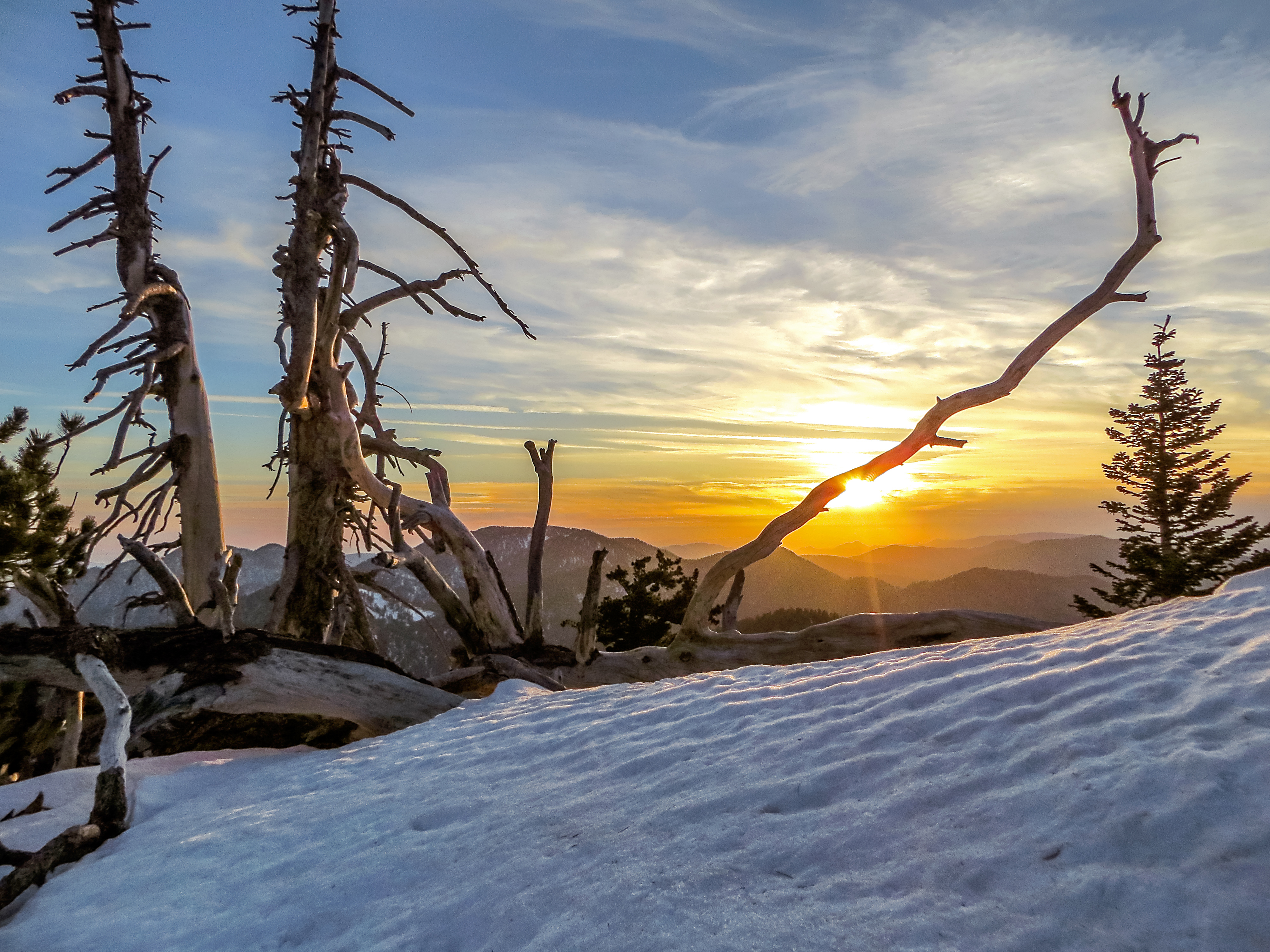
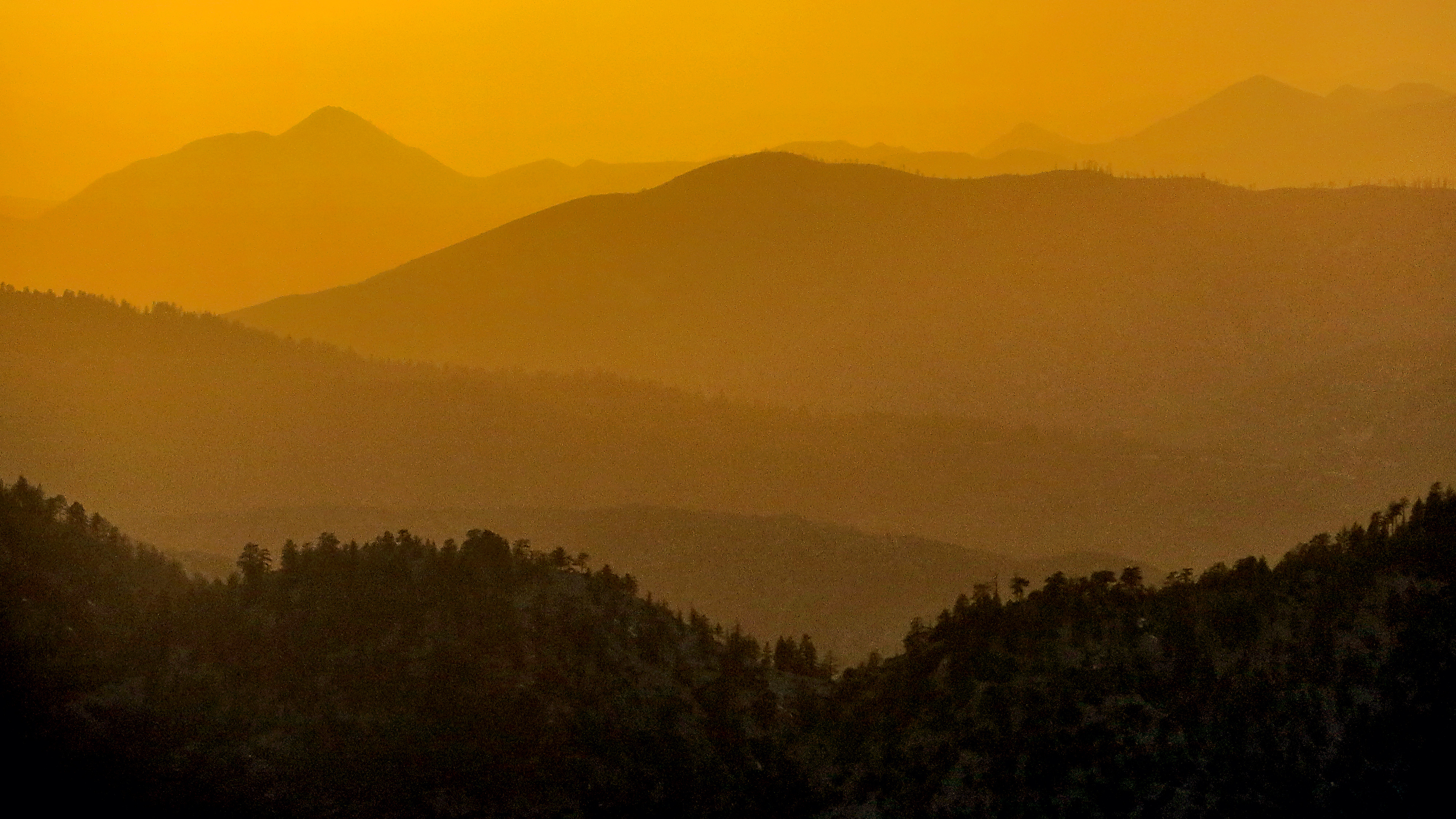
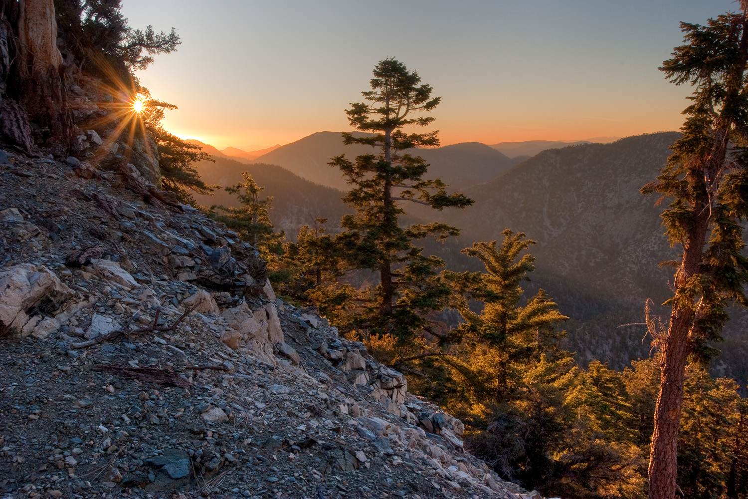
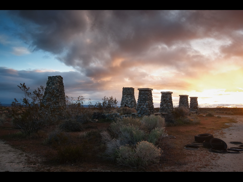
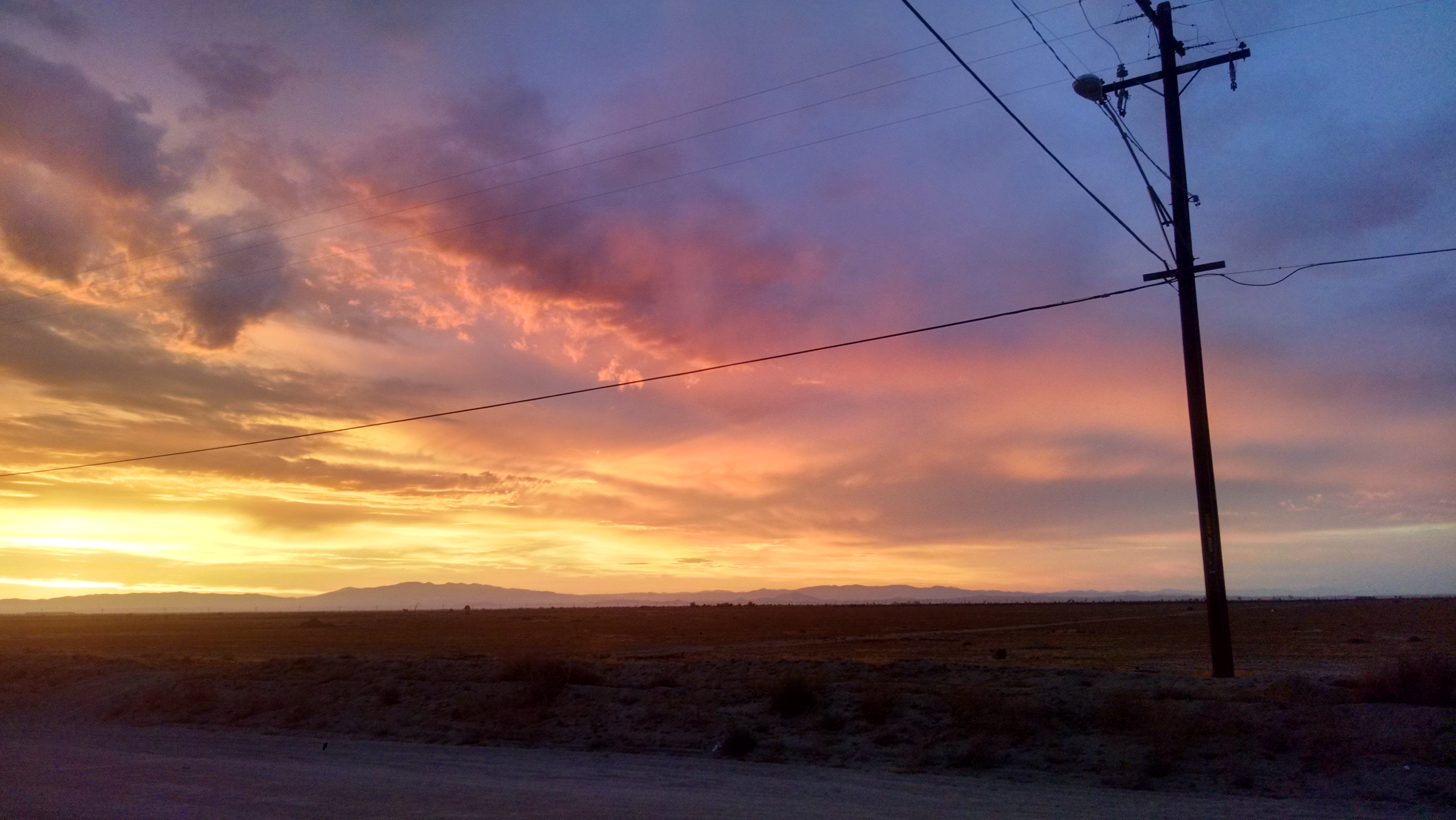
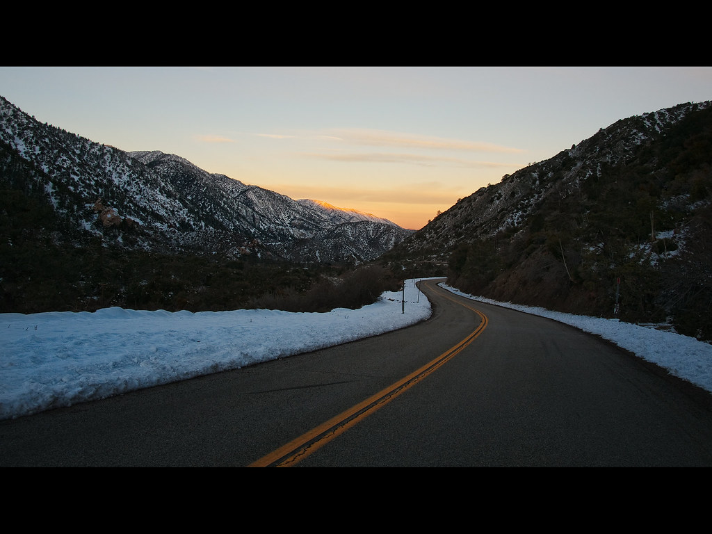
日出日落照片

Clearing Storm, Mount Williamson
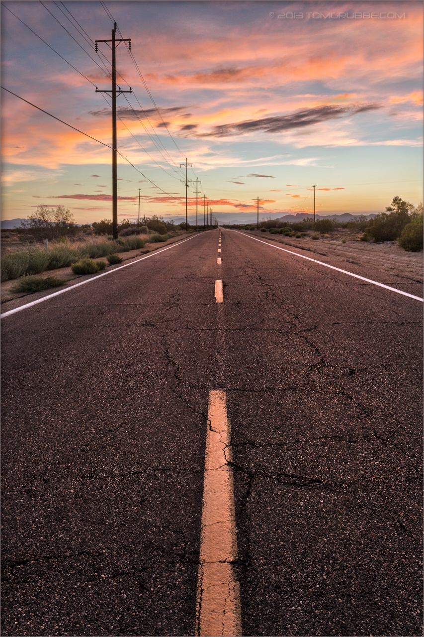
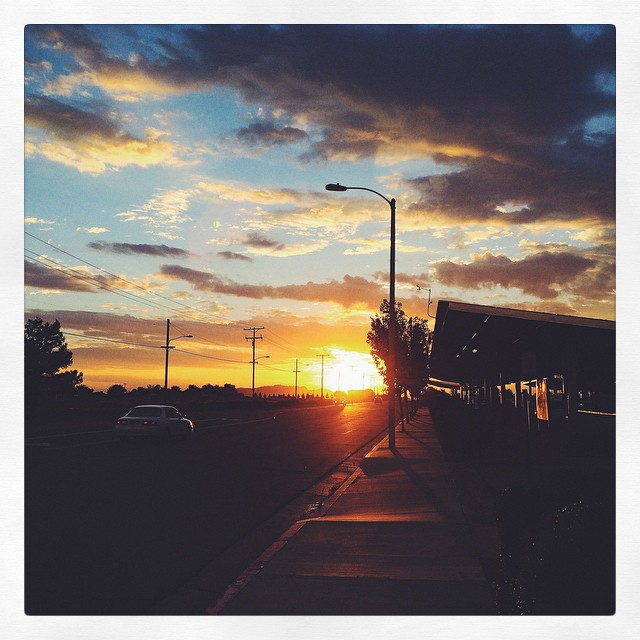
Pearblossom Highway Sunset
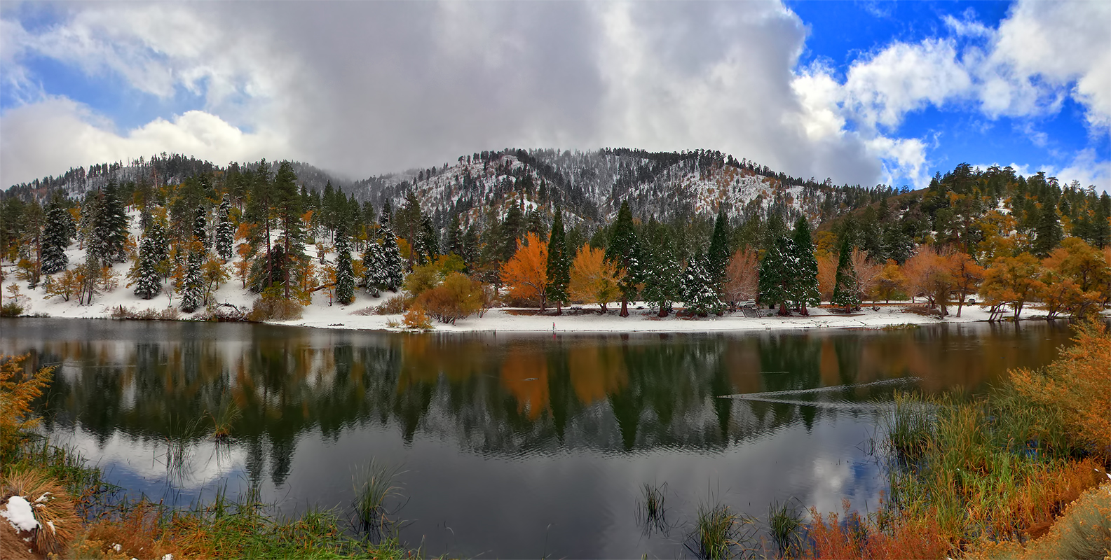
Autumn at Jackson Lake

Fading Storm on Williamson [Explored]

Darkness Sets
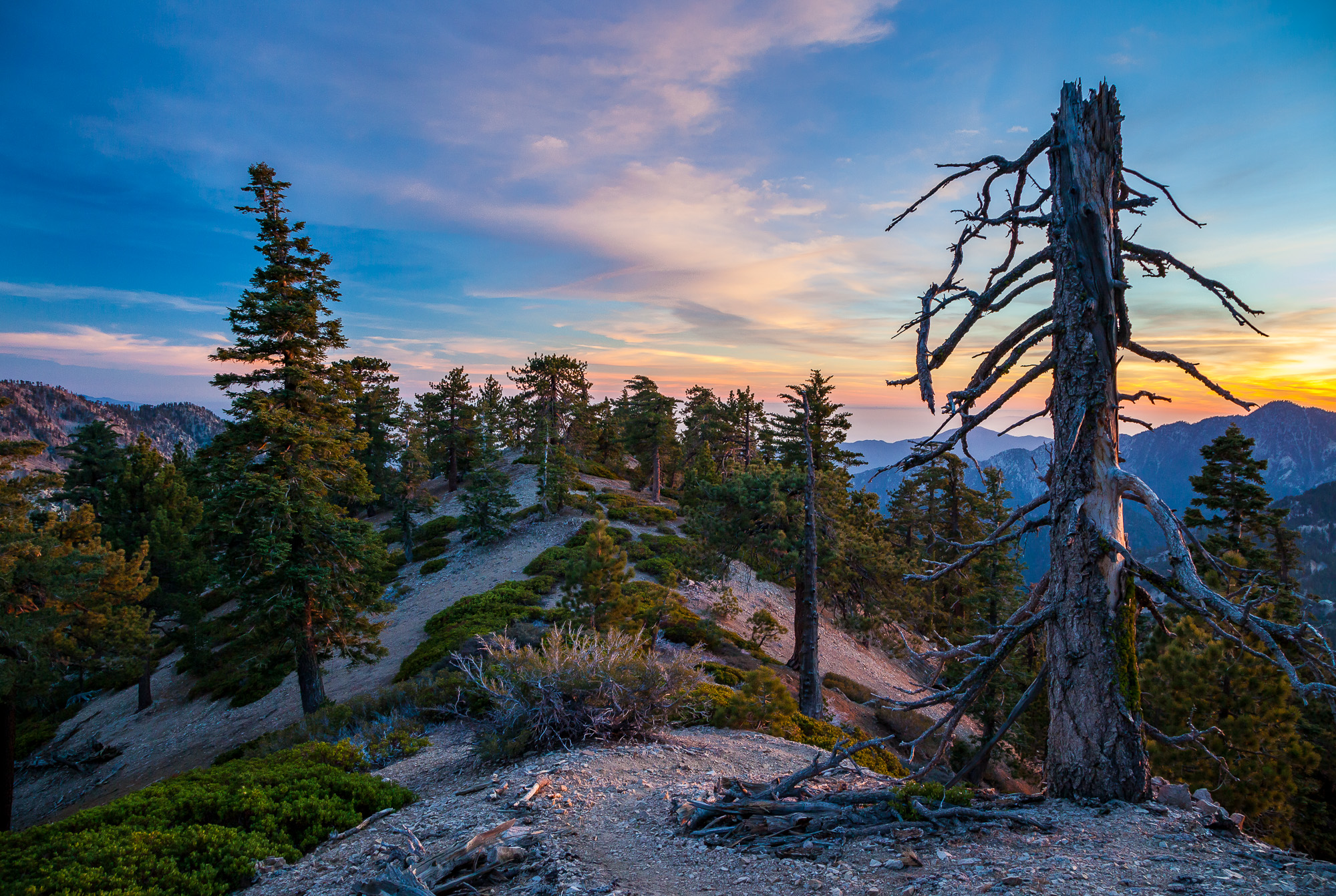
Life is harsh on the ridge.
NO->middle<-WHERE
Snowy Summit, Project 365: 61/365
Tangerine Topography
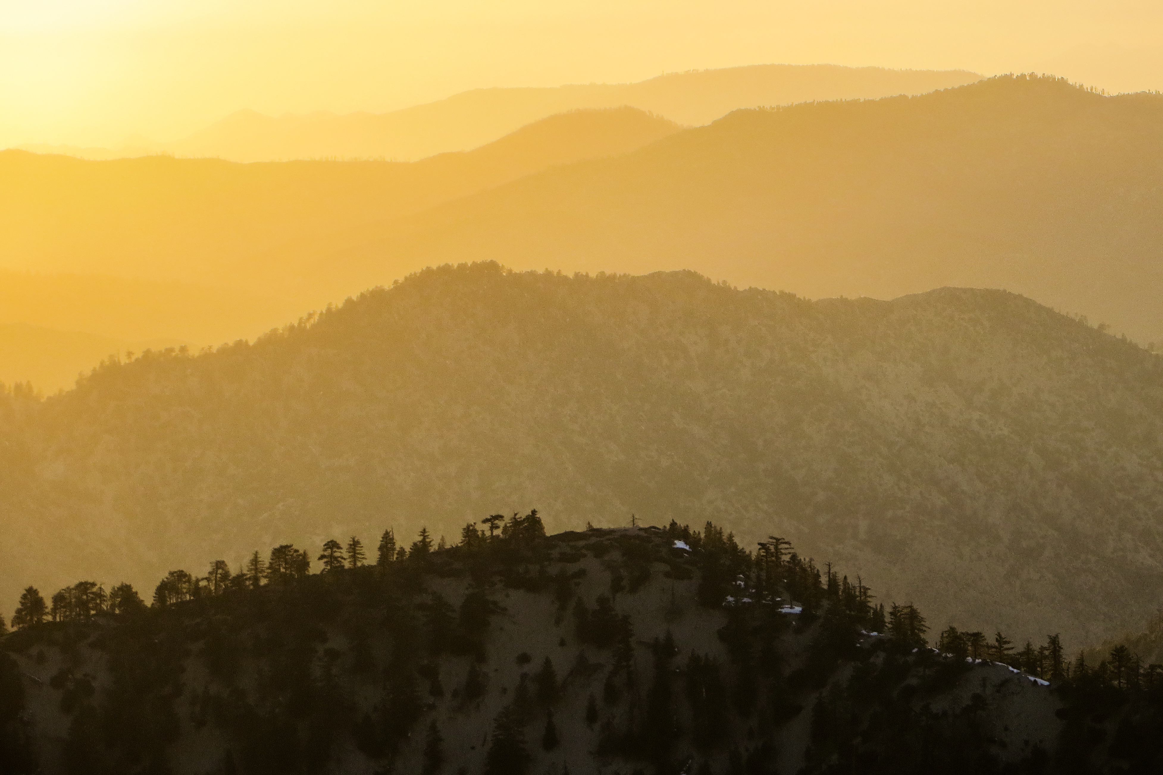
Sunset over the San Gabriel and Pleasant View Ridge Wilderness Areas

Wake me when it's over [Explored]
Past the Mission
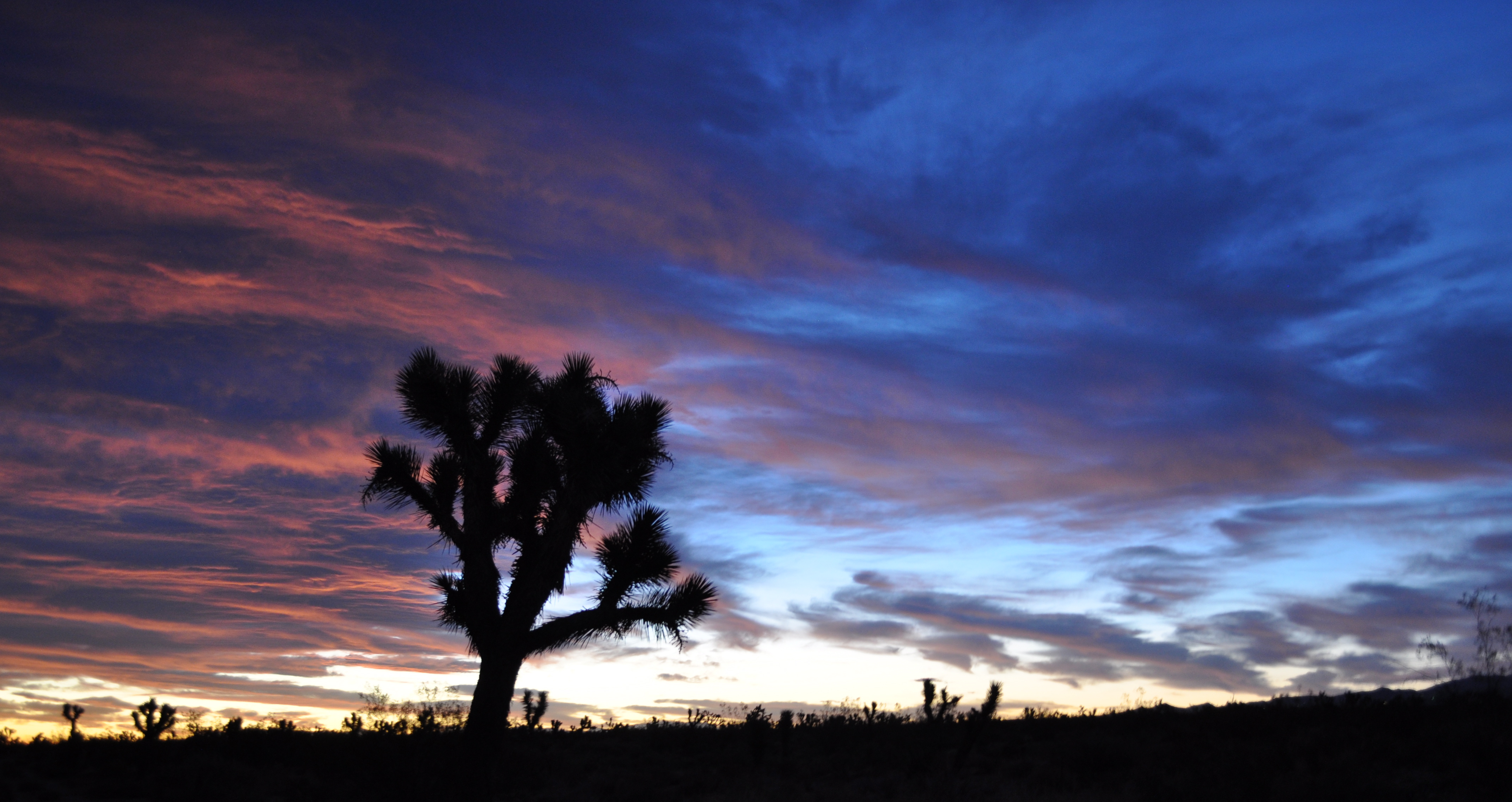
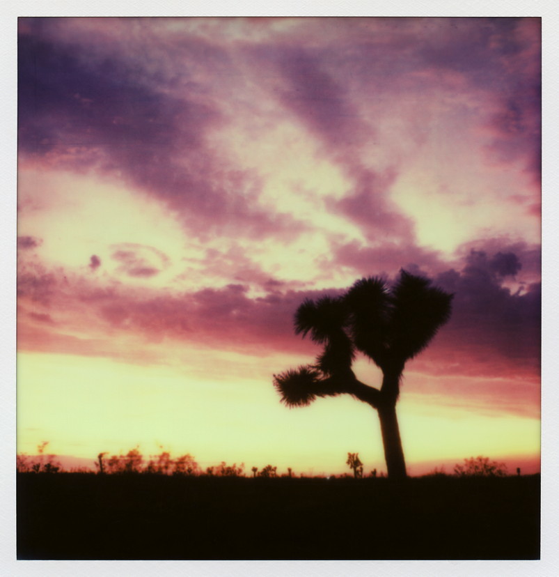
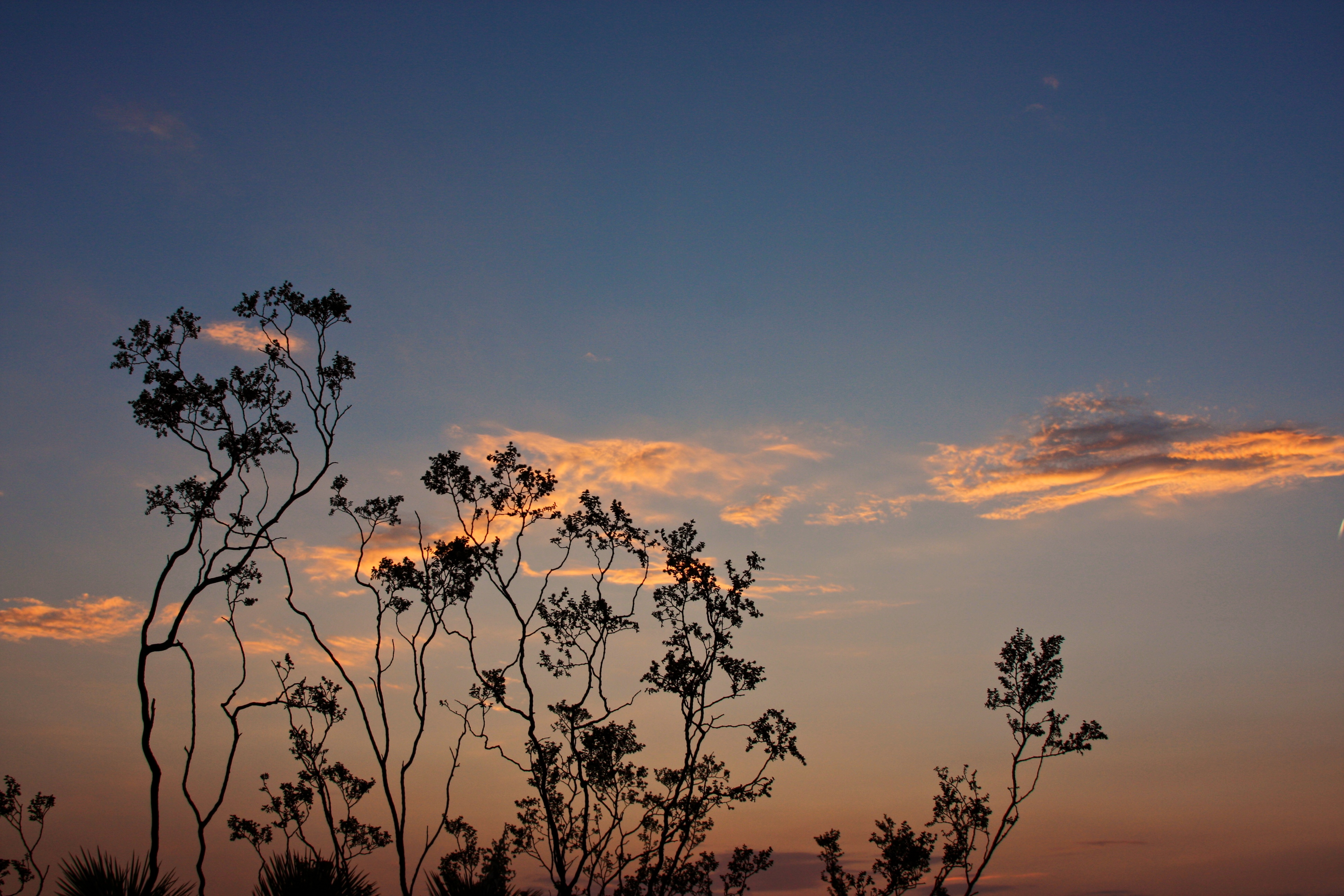
Joshua shades of blue
Started super early this morning, before the sun came out.
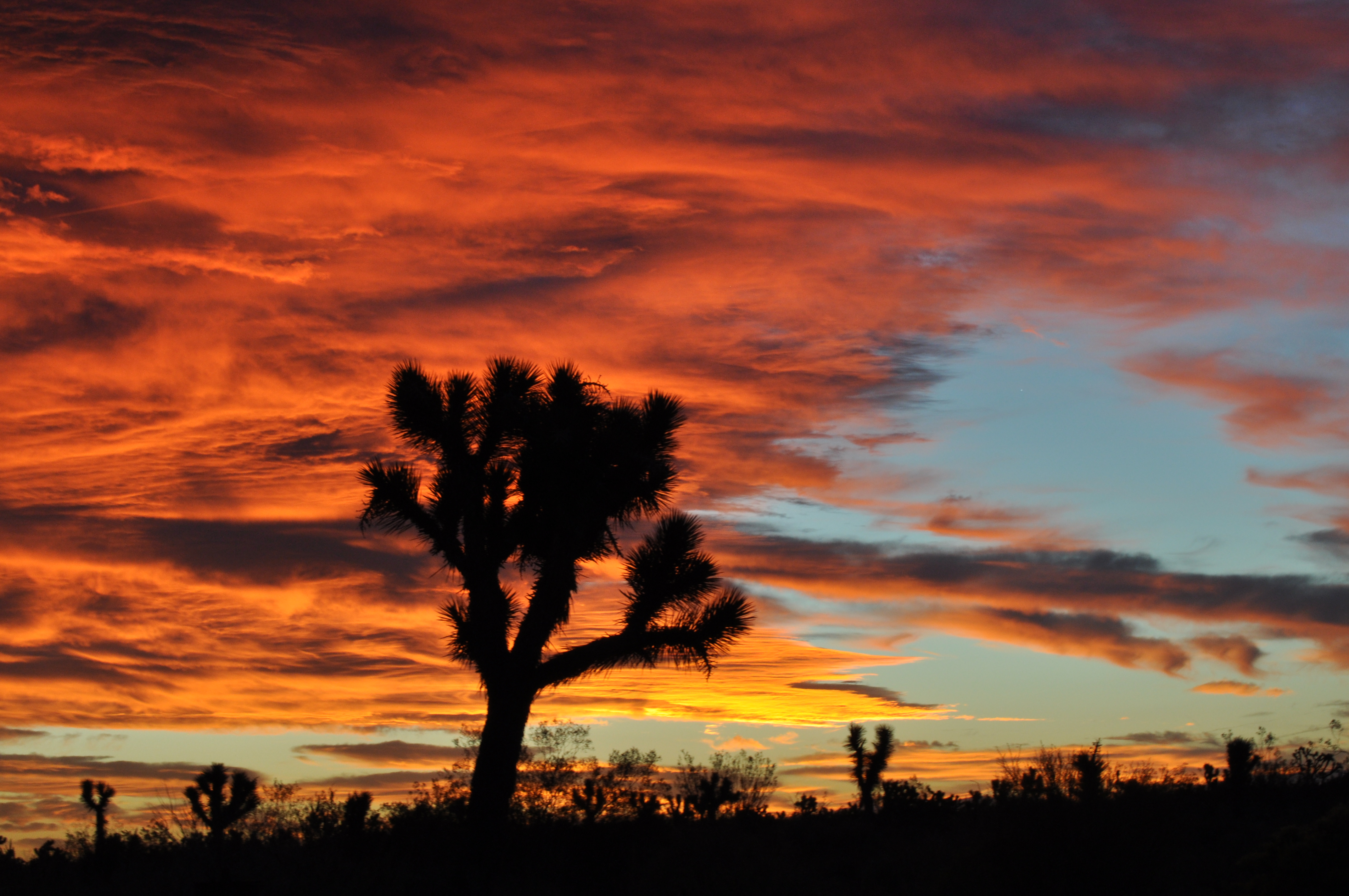
Joshua fire sky
The Devil's Punchbowl
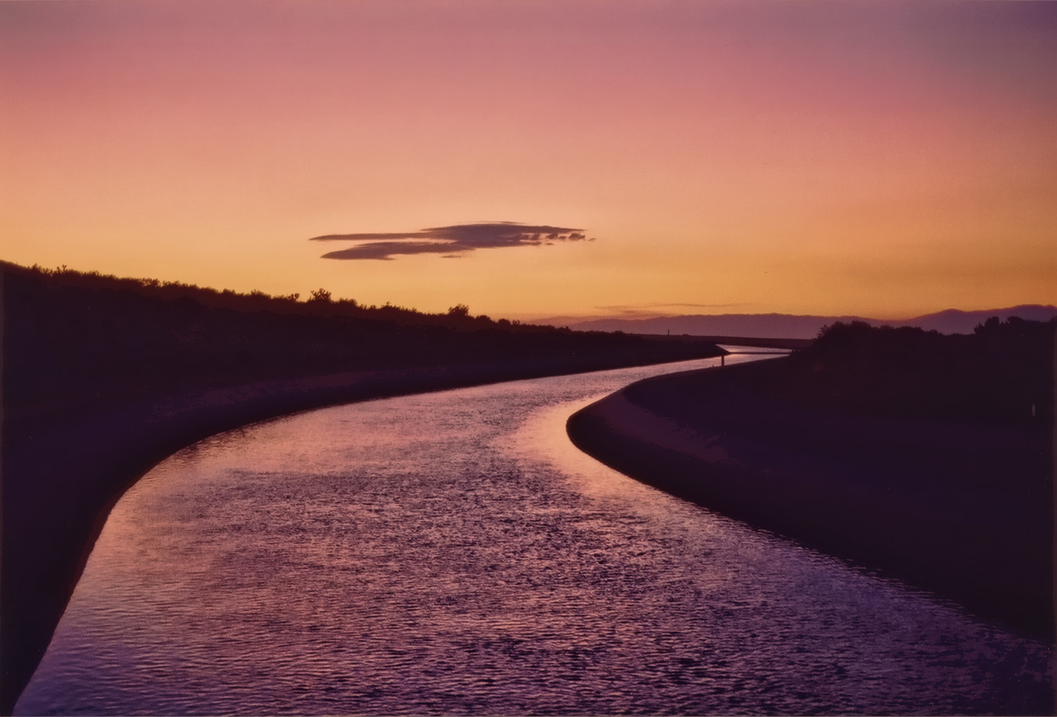
California Aqueduct Near Valyermo, CA 4
St Andrew Abbey sunset
Sunset Haze on Williamson
2015-06-28 20.16.27
2015-06-28 20.14.05

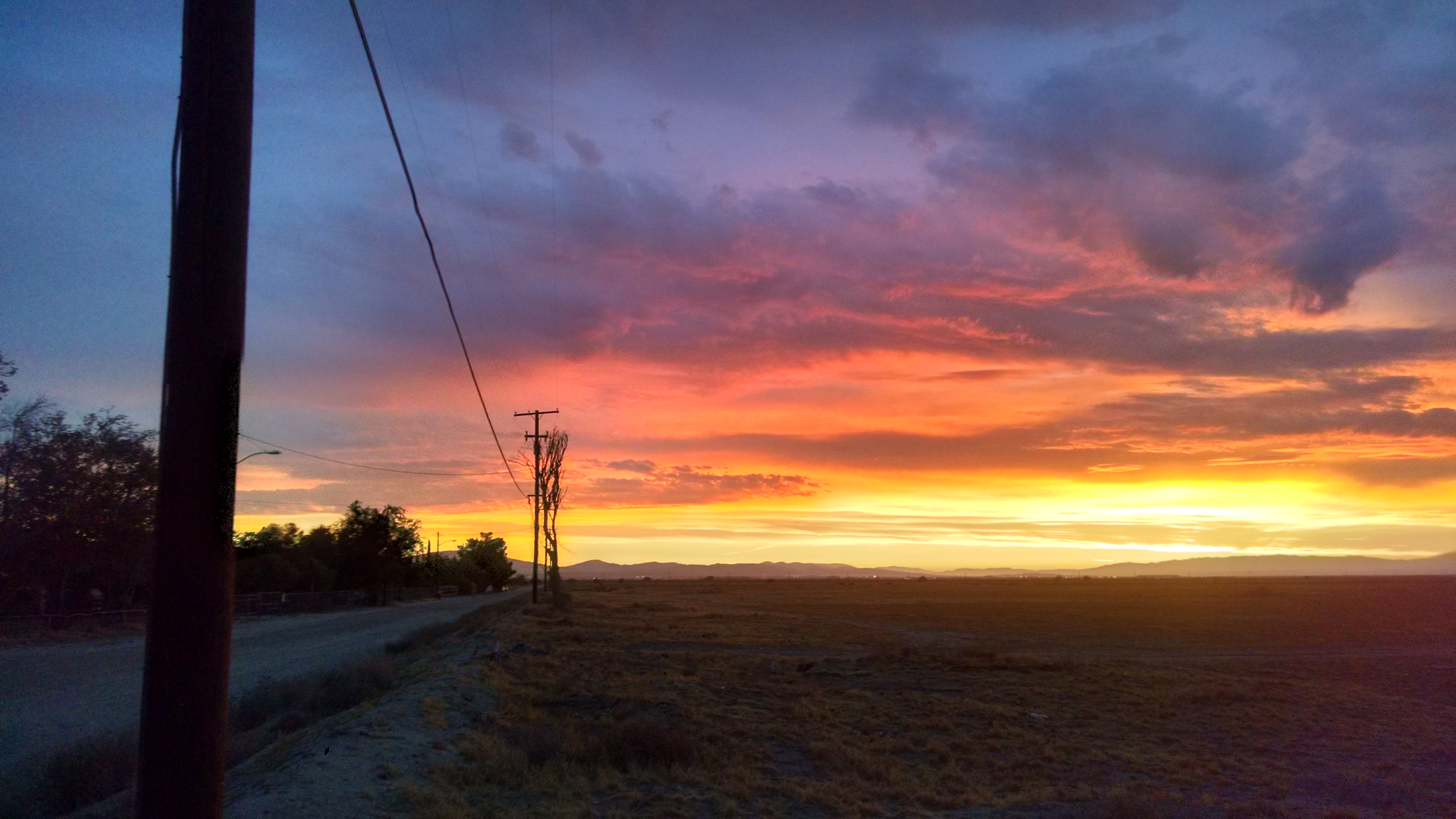
Valyermo Dawn
Canyon Light
Live 4eva
Four Aces (panorama)
#VSCOCam Desert sunrise
美国加利福尼亚州拉诺的地图
查询其他地方的日出日落时间
美国加利福尼亚州拉诺的其他地方
附近地点
E Ave X, Llano, CA 美国
Boca Raton Ave, Llano, CA 美国Boca Raton Avenue
N Valyermo Rd, Valyermo, CA 美国
E Ave W 6, Pearblossom, CA 美国
Fort Tejon Rd, Pearblossom, CA 美国
Pearblossom, CA 美国
Lake Los Angeles, CA, 美国
96th St E, California 美国96th Street East
95th St E, Littlerock, CA 美国
美国加利福尼亚州小石城
90th St E, Littlerock, CA 美国
Little Rock Reservoir, California 美国
Cheseboro Rd, Palmdale, CA 美国
美国加利福尼亚州棕榈谷
Boxthorn St, Palmdale, CA 美国
50th St E, Palmdale, CA 美国
Palmdale Hills Dr, Palmdale, CA 美国
Sulphur Springs Rd, Palmdale, CA 美国
Mt Emma Rd, Palmdale, CA, 美国Mount Emma Road
Dedham Ct, Palmdale, CA 美国
最近搜索
- Red Dog Mine, AK, USA的日出日落时间表
- Am bhf, Borken, 德国Am Bahnhof的日出日落时间表
- 4th St E, Sonoma, CA 美国的日出日落时间表
- Oakland Ave, Williamsport, PA 美国的日出日落时间表
- Via Roma, Pieranica CR, Italy的日出日落时间表
- 克罗地亚杜布罗夫尼克 GradClock Tower of Dubrovnik的日出日落时间表
- 阿根廷丘布特省特雷利乌的日出日落时间表
- Hartfords Bluff Cir, Mt Pleasant, SC 美国的日出日落时间表
- 日本熊本县熊本市北区的日出日落时间表
- 中国福州市平潭县平潭岛的日出日落时间表