Llano, CA, USA Sonnenaufgang Sonnenuntergang Zeiten
Location: USA > Kalifornien > Los Angeles County >
Zeitzone:
America/Los_Angeles
Ortszeit:
2025-06-25 19:49:18
Länge:
-117.8178409
Breite:
34.5058282
Sonnenaufgang Heute:
05:40:41 AM
Sonnenuntergang Heute:
08:07:57 PM
Tageslänge heute:
14h 27m 16s
Sonnenaufgang morgen:
05:41:02 AM
Sonnenuntergang Morgen:
08:08:00 PM
Tageslänge von morgen:
14h 26m 58s
Alle Termine anzeigen
| Datum | Sonnenaufgang | Sonnenuntergang | Tageslänge |
|---|---|---|---|
| 2025-01-01 | 06:58:09 AM | 04:52:50 PM | 9h 54m 41s |
| 2025-01-02 | 06:58:17 AM | 04:53:37 PM | 9h 55m 20s |
| 2025-01-03 | 06:58:23 AM | 04:54:26 PM | 9h 56m 3s |
| 2025-01-04 | 06:58:27 AM | 04:55:15 PM | 9h 56m 48s |
| 2025-01-05 | 06:58:29 AM | 04:56:05 PM | 9h 57m 36s |
| 2025-01-06 | 06:58:29 AM | 04:56:57 PM | 9h 58m 28s |
| 2025-01-07 | 06:58:27 AM | 04:57:49 PM | 9h 59m 22s |
| 2025-01-08 | 06:58:24 AM | 04:58:42 PM | 10h 0m 18s |
| 2025-01-09 | 06:58:19 AM | 04:59:36 PM | 10h 1m 17s |
| 2025-01-10 | 06:58:11 AM | 05:00:30 PM | 10h 2m 19s |
| 2025-01-11 | 06:58:02 AM | 05:01:25 PM | 10h 3m 23s |
| 2025-01-12 | 06:57:51 AM | 05:02:21 PM | 10h 4m 30s |
| 2025-01-13 | 06:57:38 AM | 05:03:17 PM | 10h 5m 39s |
| 2025-01-14 | 06:57:23 AM | 05:04:14 PM | 10h 6m 51s |
| 2025-01-15 | 06:57:07 AM | 05:05:12 PM | 10h 8m 5s |
| 2025-01-16 | 06:56:48 AM | 05:06:10 PM | 10h 9m 22s |
| 2025-01-17 | 06:56:28 AM | 05:07:08 PM | 10h 10m 40s |
| 2025-01-18 | 06:56:06 AM | 05:08:06 PM | 10h 12m 0s |
| 2025-01-19 | 06:55:42 AM | 05:09:05 PM | 10h 13m 23s |
| 2025-01-20 | 06:55:16 AM | 05:10:05 PM | 10h 14m 49s |
| 2025-01-21 | 06:54:48 AM | 05:11:04 PM | 10h 16m 16s |
| 2025-01-22 | 06:54:19 AM | 05:12:04 PM | 10h 17m 45s |
| 2025-01-23 | 06:53:48 AM | 05:13:04 PM | 10h 19m 16s |
| 2025-01-24 | 06:53:15 AM | 05:14:04 PM | 10h 20m 49s |
| 2025-01-25 | 06:52:41 AM | 05:15:04 PM | 10h 22m 23s |
| 2025-01-26 | 06:52:05 AM | 05:16:04 PM | 10h 23m 59s |
| 2025-01-27 | 06:51:27 AM | 05:17:04 PM | 10h 25m 37s |
| 2025-01-28 | 06:50:47 AM | 05:18:04 PM | 10h 27m 17s |
| 2025-01-29 | 06:50:06 AM | 05:19:05 PM | 10h 28m 59s |
| 2025-01-30 | 06:49:24 AM | 05:20:05 PM | 10h 30m 41s |
| 2025-01-31 | 06:48:40 AM | 05:21:05 PM | 10h 32m 25s |
| 2025-02-01 | 06:47:54 AM | 05:22:05 PM | 10h 34m 11s |
| 2025-02-02 | 06:47:07 AM | 05:23:04 PM | 10h 35m 57s |
| 2025-02-03 | 06:46:18 AM | 05:24:04 PM | 10h 37m 46s |
| 2025-02-04 | 06:45:28 AM | 05:25:04 PM | 10h 39m 36s |
| 2025-02-05 | 06:44:37 AM | 05:26:03 PM | 10h 41m 26s |
| 2025-02-06 | 06:43:44 AM | 05:27:02 PM | 10h 43m 18s |
| 2025-02-07 | 06:42:50 AM | 05:28:01 PM | 10h 45m 11s |
| 2025-02-08 | 06:41:54 AM | 05:28:59 PM | 10h 47m 5s |
| 2025-02-09 | 06:40:57 AM | 05:29:58 PM | 10h 49m 1s |
| 2025-02-10 | 06:39:59 AM | 05:30:56 PM | 10h 50m 57s |
| 2025-02-11 | 06:39:00 AM | 05:31:53 PM | 10h 52m 53s |
| 2025-02-12 | 06:38:00 AM | 05:32:51 PM | 10h 54m 51s |
| 2025-02-13 | 06:36:58 AM | 05:33:48 PM | 10h 56m 50s |
| 2025-02-14 | 06:35:55 AM | 05:34:45 PM | 10h 58m 50s |
| 2025-02-15 | 06:34:51 AM | 05:35:41 PM | 11h 0m 50s |
| 2025-02-16 | 06:33:46 AM | 05:36:37 PM | 11h 2m 51s |
| 2025-02-17 | 06:32:40 AM | 05:37:33 PM | 11h 4m 53s |
| 2025-02-18 | 06:31:33 AM | 05:38:29 PM | 11h 6m 56s |
| 2025-02-19 | 06:30:25 AM | 05:39:24 PM | 11h 8m 59s |
| 2025-02-20 | 06:29:16 AM | 05:40:19 PM | 11h 11m 3s |
| 2025-02-21 | 06:28:06 AM | 05:41:13 PM | 11h 13m 7s |
| 2025-02-22 | 06:26:56 AM | 05:42:07 PM | 11h 15m 11s |
| 2025-02-23 | 06:25:44 AM | 05:43:01 PM | 11h 17m 17s |
| 2025-02-24 | 06:24:31 AM | 05:43:55 PM | 11h 19m 24s |
| 2025-02-25 | 06:23:18 AM | 05:44:48 PM | 11h 21m 30s |
| 2025-02-26 | 06:22:04 AM | 05:45:40 PM | 11h 23m 36s |
| 2025-02-27 | 06:20:49 AM | 05:46:33 PM | 11h 25m 44s |
| 2025-02-28 | 06:19:34 AM | 05:47:25 PM | 11h 27m 51s |
| 2025-03-01 | 06:18:18 AM | 05:48:17 PM | 11h 29m 59s |
| 2025-03-02 | 06:17:01 AM | 05:49:08 PM | 11h 32m 7s |
| 2025-03-03 | 06:15:44 AM | 05:49:59 PM | 11h 34m 15s |
| 2025-03-04 | 06:14:26 AM | 05:50:50 PM | 11h 36m 24s |
| 2025-03-05 | 06:13:07 AM | 05:51:41 PM | 11h 38m 34s |
| 2025-03-06 | 06:11:48 AM | 05:52:31 PM | 11h 40m 43s |
| 2025-03-07 | 06:10:29 AM | 05:53:21 PM | 11h 42m 52s |
| 2025-03-08 | 06:09:09 AM | 05:54:11 PM | 11h 45m 2s |
| 2025-03-09 | 07:07:52 AM | 06:54:58 PM | 11h 47m 6s |
| 2025-03-10 | 07:06:31 AM | 06:55:47 PM | 11h 49m 16s |
| 2025-03-11 | 07:05:10 AM | 06:56:36 PM | 11h 51m 26s |
| 2025-03-12 | 07:03:49 AM | 06:57:25 PM | 11h 53m 36s |
| 2025-03-13 | 07:02:27 AM | 06:58:14 PM | 11h 55m 47s |
| 2025-03-14 | 07:01:05 AM | 06:59:02 PM | 11h 57m 57s |
| 2025-03-15 | 06:59:43 AM | 06:59:50 PM | 12h 0m 7s |
| 2025-03-16 | 06:58:21 AM | 07:00:38 PM | 12h 2m 17s |
| 2025-03-17 | 06:56:58 AM | 07:01:26 PM | 12h 4m 28s |
| 2025-03-18 | 06:55:35 AM | 07:02:14 PM | 12h 6m 39s |
| 2025-03-19 | 06:54:12 AM | 07:03:01 PM | 12h 8m 49s |
| 2025-03-20 | 06:52:49 AM | 07:03:49 PM | 12h 11m 0s |
| 2025-03-21 | 06:51:26 AM | 07:04:36 PM | 12h 13m 10s |
| 2025-03-22 | 06:50:03 AM | 07:05:23 PM | 12h 15m 20s |
| 2025-03-23 | 06:48:40 AM | 07:06:10 PM | 12h 17m 30s |
| 2025-03-24 | 06:47:17 AM | 07:06:57 PM | 12h 19m 40s |
| 2025-03-25 | 06:45:54 AM | 07:07:44 PM | 12h 21m 50s |
| 2025-03-26 | 06:44:31 AM | 07:08:30 PM | 12h 23m 59s |
| 2025-03-27 | 06:43:08 AM | 07:09:17 PM | 12h 26m 9s |
| 2025-03-28 | 06:41:45 AM | 07:10:04 PM | 12h 28m 19s |
| 2025-03-29 | 06:40:23 AM | 07:10:50 PM | 12h 30m 27s |
| 2025-03-30 | 06:39:00 AM | 07:11:37 PM | 12h 32m 37s |
| 2025-03-31 | 06:37:38 AM | 07:12:23 PM | 12h 34m 45s |
| 2025-04-01 | 06:36:16 AM | 07:13:10 PM | 12h 36m 54s |
| 2025-04-02 | 06:34:55 AM | 07:13:56 PM | 12h 39m 1s |
| 2025-04-03 | 06:33:33 AM | 07:14:43 PM | 12h 41m 10s |
| 2025-04-04 | 06:32:13 AM | 07:15:30 PM | 12h 43m 17s |
| 2025-04-05 | 06:30:52 AM | 07:16:16 PM | 12h 45m 24s |
| 2025-04-06 | 06:29:32 AM | 07:17:03 PM | 12h 47m 31s |
| 2025-04-07 | 06:28:12 AM | 07:17:49 PM | 12h 49m 37s |
| 2025-04-08 | 06:26:53 AM | 07:18:36 PM | 12h 51m 43s |
| 2025-04-09 | 06:25:34 AM | 07:19:23 PM | 12h 53m 49s |
| 2025-04-10 | 06:24:16 AM | 07:20:10 PM | 12h 55m 54s |
| 2025-04-11 | 06:22:58 AM | 07:20:56 PM | 12h 57m 58s |
| 2025-04-12 | 06:21:41 AM | 07:21:43 PM | 13h 0m 2s |
| 2025-04-13 | 06:20:24 AM | 07:22:30 PM | 13h 2m 6s |
| 2025-04-14 | 06:19:08 AM | 07:23:17 PM | 13h 4m 9s |
| 2025-04-15 | 06:17:53 AM | 07:24:04 PM | 13h 6m 11s |
| 2025-04-16 | 06:16:38 AM | 07:24:52 PM | 13h 8m 14s |
| 2025-04-17 | 06:15:24 AM | 07:25:39 PM | 13h 10m 15s |
| 2025-04-18 | 06:14:11 AM | 07:26:26 PM | 13h 12m 15s |
| 2025-04-19 | 06:12:59 AM | 07:27:14 PM | 13h 14m 15s |
| 2025-04-20 | 06:11:47 AM | 07:28:01 PM | 13h 16m 14s |
| 2025-04-21 | 06:10:36 AM | 07:28:48 PM | 13h 18m 12s |
| 2025-04-22 | 06:09:26 AM | 07:29:36 PM | 13h 20m 10s |
| 2025-04-23 | 06:08:17 AM | 07:30:24 PM | 13h 22m 7s |
| 2025-04-24 | 06:07:09 AM | 07:31:11 PM | 13h 24m 2s |
| 2025-04-25 | 06:06:02 AM | 07:31:59 PM | 13h 25m 57s |
| 2025-04-26 | 06:04:56 AM | 07:32:47 PM | 13h 27m 51s |
| 2025-04-27 | 06:03:50 AM | 07:33:35 PM | 13h 29m 45s |
| 2025-04-28 | 06:02:46 AM | 07:34:22 PM | 13h 31m 36s |
| 2025-04-29 | 06:01:43 AM | 07:35:10 PM | 13h 33m 27s |
| 2025-04-30 | 06:00:41 AM | 07:35:58 PM | 13h 35m 17s |
| 2025-05-01 | 05:59:40 AM | 07:36:46 PM | 13h 37m 6s |
| 2025-05-02 | 05:58:40 AM | 07:37:33 PM | 13h 38m 53s |
| 2025-05-03 | 05:57:41 AM | 07:38:21 PM | 13h 40m 40s |
| 2025-05-04 | 05:56:44 AM | 07:39:09 PM | 13h 42m 25s |
| 2025-05-05 | 05:55:48 AM | 07:39:56 PM | 13h 44m 8s |
| 2025-05-06 | 05:54:52 AM | 07:40:44 PM | 13h 45m 52s |
| 2025-05-07 | 05:53:59 AM | 07:41:31 PM | 13h 47m 32s |
| 2025-05-08 | 05:53:06 AM | 07:42:18 PM | 13h 49m 12s |
| 2025-05-09 | 05:52:15 AM | 07:43:05 PM | 13h 50m 50s |
| 2025-05-10 | 05:51:25 AM | 07:43:52 PM | 13h 52m 27s |
| 2025-05-11 | 05:50:36 AM | 07:44:39 PM | 13h 54m 3s |
| 2025-05-12 | 05:49:49 AM | 07:45:25 PM | 13h 55m 36s |
| 2025-05-13 | 05:49:03 AM | 07:46:12 PM | 13h 57m 9s |
| 2025-05-14 | 05:48:19 AM | 07:46:58 PM | 13h 58m 39s |
| 2025-05-15 | 05:47:36 AM | 07:47:43 PM | 14h 0m 7s |
| 2025-05-16 | 05:46:54 AM | 07:48:28 PM | 14h 1m 34s |
| 2025-05-17 | 05:46:14 AM | 07:49:13 PM | 14h 2m 59s |
| 2025-05-18 | 05:45:35 AM | 07:49:58 PM | 14h 4m 23s |
| 2025-05-19 | 05:44:58 AM | 07:50:42 PM | 14h 5m 44s |
| 2025-05-20 | 05:44:23 AM | 07:51:26 PM | 14h 7m 3s |
| 2025-05-21 | 05:43:49 AM | 07:52:09 PM | 14h 8m 20s |
| 2025-05-22 | 05:43:16 AM | 07:52:52 PM | 14h 9m 36s |
| 2025-05-23 | 05:42:45 AM | 07:53:34 PM | 14h 10m 49s |
| 2025-05-24 | 05:42:16 AM | 07:54:15 PM | 14h 11m 59s |
| 2025-05-25 | 05:41:48 AM | 07:54:56 PM | 14h 13m 8s |
| 2025-05-26 | 05:41:22 AM | 07:55:37 PM | 14h 14m 15s |
| 2025-05-27 | 05:40:57 AM | 07:56:16 PM | 14h 15m 19s |
| 2025-05-28 | 05:40:34 AM | 07:56:55 PM | 14h 16m 21s |
| 2025-05-29 | 05:40:13 AM | 07:57:33 PM | 14h 17m 20s |
| 2025-05-30 | 05:39:53 AM | 07:58:11 PM | 14h 18m 18s |
| 2025-05-31 | 05:39:35 AM | 07:58:47 PM | 14h 19m 12s |
| 2025-06-01 | 05:39:18 AM | 07:59:23 PM | 14h 20m 5s |
| 2025-06-02 | 05:39:03 AM | 07:59:58 PM | 14h 20m 55s |
| 2025-06-03 | 05:38:50 AM | 08:00:32 PM | 14h 21m 42s |
| 2025-06-04 | 05:38:38 AM | 08:01:05 PM | 14h 22m 27s |
| 2025-06-05 | 05:38:28 AM | 08:01:37 PM | 14h 23m 9s |
| 2025-06-06 | 05:38:20 AM | 08:02:07 PM | 14h 23m 47s |
| 2025-06-07 | 05:38:13 AM | 08:02:37 PM | 14h 24m 24s |
| 2025-06-08 | 05:38:08 AM | 08:03:06 PM | 14h 24m 58s |
| 2025-06-09 | 05:38:05 AM | 08:03:34 PM | 14h 25m 29s |
| 2025-06-10 | 05:38:03 AM | 08:04:00 PM | 14h 25m 57s |
| 2025-06-11 | 05:38:02 AM | 08:04:25 PM | 14h 26m 23s |
| 2025-06-12 | 05:38:03 AM | 08:04:49 PM | 14h 26m 46s |
| 2025-06-13 | 05:38:06 AM | 08:05:12 PM | 14h 27m 6s |
| 2025-06-14 | 05:38:10 AM | 08:05:33 PM | 14h 27m 23s |
| 2025-06-15 | 05:38:16 AM | 08:05:53 PM | 14h 27m 37s |
| 2025-06-16 | 05:38:23 AM | 08:06:12 PM | 14h 27m 49s |
| 2025-06-17 | 05:38:32 AM | 08:06:29 PM | 14h 27m 57s |
| 2025-06-18 | 05:38:43 AM | 08:06:45 PM | 14h 28m 2s |
| 2025-06-19 | 05:38:54 AM | 08:07:00 PM | 14h 28m 6s |
| 2025-06-20 | 05:39:07 AM | 08:07:13 PM | 14h 28m 6s |
| 2025-06-21 | 05:39:22 AM | 08:07:24 PM | 14h 28m 2s |
| 2025-06-22 | 05:39:38 AM | 08:07:34 PM | 14h 27m 56s |
| 2025-06-23 | 05:39:55 AM | 08:07:43 PM | 14h 27m 48s |
| 2025-06-24 | 05:40:13 AM | 08:07:50 PM | 14h 27m 37s |
| 2025-06-25 | 05:40:33 AM | 08:07:55 PM | 14h 27m 22s |
| 2025-06-26 | 05:40:54 AM | 08:07:59 PM | 14h 27m 5s |
| 2025-06-27 | 05:41:16 AM | 08:08:01 PM | 14h 26m 45s |
| 2025-06-28 | 05:41:40 AM | 08:08:02 PM | 14h 26m 22s |
| 2025-06-29 | 05:42:05 AM | 08:08:01 PM | 14h 25m 56s |
| 2025-06-30 | 05:42:30 AM | 08:07:59 PM | 14h 25m 29s |
| 2025-07-01 | 05:42:57 AM | 08:07:54 PM | 14h 24m 57s |
| 2025-07-02 | 05:43:25 AM | 08:07:48 PM | 14h 24m 23s |
| 2025-07-03 | 05:43:54 AM | 08:07:41 PM | 14h 23m 47s |
| 2025-07-04 | 05:44:24 AM | 08:07:32 PM | 14h 23m 8s |
| 2025-07-05 | 05:44:55 AM | 08:07:21 PM | 14h 22m 26s |
| 2025-07-06 | 05:45:27 AM | 08:07:08 PM | 14h 21m 41s |
| 2025-07-07 | 05:45:59 AM | 08:06:54 PM | 14h 20m 55s |
| 2025-07-08 | 05:46:33 AM | 08:06:38 PM | 14h 20m 5s |
| 2025-07-09 | 05:47:07 AM | 08:06:20 PM | 14h 19m 13s |
| 2025-07-10 | 05:47:42 AM | 08:06:01 PM | 14h 18m 19s |
| 2025-07-11 | 05:48:18 AM | 08:05:40 PM | 14h 17m 22s |
| 2025-07-12 | 05:48:55 AM | 08:05:18 PM | 14h 16m 23s |
| 2025-07-13 | 05:49:32 AM | 08:04:53 PM | 14h 15m 21s |
| 2025-07-14 | 05:50:10 AM | 08:04:28 PM | 14h 14m 18s |
| 2025-07-15 | 05:50:49 AM | 08:04:00 PM | 14h 13m 11s |
| 2025-07-16 | 05:51:28 AM | 08:03:31 PM | 14h 12m 3s |
| 2025-07-17 | 05:52:08 AM | 08:03:00 PM | 14h 10m 52s |
| 2025-07-18 | 05:52:48 AM | 08:02:28 PM | 14h 9m 40s |
| 2025-07-19 | 05:53:28 AM | 08:01:54 PM | 14h 8m 26s |
| 2025-07-20 | 05:54:09 AM | 08:01:19 PM | 14h 7m 10s |
| 2025-07-21 | 05:54:51 AM | 08:00:42 PM | 14h 5m 51s |
| 2025-07-22 | 05:55:33 AM | 08:00:03 PM | 14h 4m 30s |
| 2025-07-23 | 05:56:15 AM | 07:59:23 PM | 14h 3m 8s |
| 2025-07-24 | 05:56:58 AM | 07:58:41 PM | 14h 1m 43s |
| 2025-07-25 | 05:57:40 AM | 07:57:58 PM | 14h 0m 18s |
| 2025-07-26 | 05:58:24 AM | 07:57:14 PM | 13h 58m 50s |
| 2025-07-27 | 05:59:07 AM | 07:56:28 PM | 13h 57m 21s |
| 2025-07-28 | 05:59:50 AM | 07:55:40 PM | 13h 55m 50s |
| 2025-07-29 | 06:00:34 AM | 07:54:52 PM | 13h 54m 18s |
| 2025-07-30 | 06:01:18 AM | 07:54:01 PM | 13h 52m 43s |
| 2025-07-31 | 06:02:02 AM | 07:53:10 PM | 13h 51m 8s |
| 2025-08-01 | 06:02:46 AM | 07:52:17 PM | 13h 49m 31s |
| 2025-08-02 | 06:03:31 AM | 07:51:23 PM | 13h 47m 52s |
| 2025-08-03 | 06:04:15 AM | 07:50:27 PM | 13h 46m 12s |
| 2025-08-04 | 06:04:59 AM | 07:49:30 PM | 13h 44m 31s |
| 2025-08-05 | 06:05:44 AM | 07:48:32 PM | 13h 42m 48s |
| 2025-08-06 | 06:06:28 AM | 07:47:33 PM | 13h 41m 5s |
| 2025-08-07 | 06:07:13 AM | 07:46:33 PM | 13h 39m 20s |
| 2025-08-08 | 06:07:57 AM | 07:45:31 PM | 13h 37m 34s |
| 2025-08-09 | 06:08:42 AM | 07:44:29 PM | 13h 35m 47s |
| 2025-08-10 | 06:09:26 AM | 07:43:25 PM | 13h 33m 59s |
| 2025-08-11 | 06:10:11 AM | 07:42:20 PM | 13h 32m 9s |
| 2025-08-12 | 06:10:55 AM | 07:41:14 PM | 13h 30m 19s |
| 2025-08-13 | 06:11:40 AM | 07:40:07 PM | 13h 28m 27s |
| 2025-08-14 | 06:12:24 AM | 07:38:59 PM | 13h 26m 35s |
| 2025-08-15 | 06:13:08 AM | 07:37:50 PM | 13h 24m 42s |
| 2025-08-16 | 06:13:52 AM | 07:36:40 PM | 13h 22m 48s |
| 2025-08-17 | 06:14:36 AM | 07:35:29 PM | 13h 20m 53s |
| 2025-08-18 | 06:15:20 AM | 07:34:17 PM | 13h 18m 57s |
| 2025-08-19 | 06:16:04 AM | 07:33:05 PM | 13h 17m 1s |
| 2025-08-20 | 06:16:48 AM | 07:31:51 PM | 13h 15m 3s |
| 2025-08-21 | 06:17:31 AM | 07:30:37 PM | 13h 13m 6s |
| 2025-08-22 | 06:18:15 AM | 07:29:22 PM | 13h 11m 7s |
| 2025-08-23 | 06:18:58 AM | 07:28:06 PM | 13h 9m 8s |
| 2025-08-24 | 06:19:42 AM | 07:26:50 PM | 13h 7m 8s |
| 2025-08-25 | 06:20:25 AM | 07:25:32 PM | 13h 5m 7s |
| 2025-08-26 | 06:21:08 AM | 07:24:15 PM | 13h 3m 7s |
| 2025-08-27 | 06:21:51 AM | 07:22:56 PM | 13h 1m 5s |
| 2025-08-28 | 06:22:34 AM | 07:21:37 PM | 12h 59m 3s |
| 2025-08-29 | 06:23:17 AM | 07:20:17 PM | 12h 57m 0s |
| 2025-08-30 | 06:24:00 AM | 07:18:57 PM | 12h 54m 57s |
| 2025-08-31 | 06:24:42 AM | 07:17:36 PM | 12h 52m 54s |
| 2025-09-01 | 06:25:25 AM | 07:16:15 PM | 12h 50m 50s |
| 2025-09-02 | 06:26:07 AM | 07:14:53 PM | 12h 48m 46s |
| 2025-09-03 | 06:26:50 AM | 07:13:31 PM | 12h 46m 41s |
| 2025-09-04 | 06:27:32 AM | 07:12:08 PM | 12h 44m 36s |
| 2025-09-05 | 06:28:15 AM | 07:10:45 PM | 12h 42m 30s |
| 2025-09-06 | 06:28:57 AM | 07:09:22 PM | 12h 40m 25s |
| 2025-09-07 | 06:29:39 AM | 07:07:58 PM | 12h 38m 19s |
| 2025-09-08 | 06:30:22 AM | 07:06:34 PM | 12h 36m 12s |
| 2025-09-09 | 06:31:04 AM | 07:05:10 PM | 12h 34m 6s |
| 2025-09-10 | 06:31:46 AM | 07:03:45 PM | 12h 31m 59s |
| 2025-09-11 | 06:32:28 AM | 07:02:20 PM | 12h 29m 52s |
| 2025-09-12 | 06:33:11 AM | 07:00:55 PM | 12h 27m 44s |
| 2025-09-13 | 06:33:53 AM | 06:59:30 PM | 12h 25m 37s |
| 2025-09-14 | 06:34:35 AM | 06:58:05 PM | 12h 23m 30s |
| 2025-09-15 | 06:35:18 AM | 06:56:40 PM | 12h 21m 22s |
| 2025-09-16 | 06:36:00 AM | 06:55:14 PM | 12h 19m 14s |
| 2025-09-17 | 06:36:43 AM | 06:53:49 PM | 12h 17m 6s |
| 2025-09-18 | 06:37:26 AM | 06:52:23 PM | 12h 14m 57s |
| 2025-09-19 | 06:38:08 AM | 06:50:58 PM | 12h 12m 50s |
| 2025-09-20 | 06:38:51 AM | 06:49:33 PM | 12h 10m 42s |
| 2025-09-21 | 06:39:34 AM | 06:48:07 PM | 12h 8m 33s |
| 2025-09-22 | 06:40:17 AM | 06:46:42 PM | 12h 6m 25s |
| 2025-09-23 | 06:41:01 AM | 06:45:17 PM | 12h 4m 16s |
| 2025-09-24 | 06:41:44 AM | 06:43:52 PM | 12h 2m 8s |
| 2025-09-25 | 06:42:28 AM | 06:42:27 PM | 11h 59m 59s |
| 2025-09-26 | 06:43:12 AM | 06:41:02 PM | 11h 57m 50s |
| 2025-09-27 | 06:43:56 AM | 06:39:38 PM | 11h 55m 42s |
| 2025-09-28 | 06:44:40 AM | 06:38:14 PM | 11h 53m 34s |
| 2025-09-29 | 06:45:24 AM | 06:36:50 PM | 11h 51m 26s |
| 2025-09-30 | 06:46:09 AM | 06:35:27 PM | 11h 49m 18s |
| 2025-10-01 | 06:46:54 AM | 06:34:04 PM | 11h 47m 10s |
| 2025-10-02 | 06:47:39 AM | 06:32:41 PM | 11h 45m 2s |
| 2025-10-03 | 06:48:24 AM | 06:31:19 PM | 11h 42m 55s |
| 2025-10-04 | 06:49:10 AM | 06:29:57 PM | 11h 40m 47s |
| 2025-10-05 | 06:49:56 AM | 06:28:36 PM | 11h 38m 40s |
| 2025-10-06 | 06:50:42 AM | 06:27:15 PM | 11h 36m 33s |
| 2025-10-07 | 06:51:29 AM | 06:25:55 PM | 11h 34m 26s |
| 2025-10-08 | 06:52:16 AM | 06:24:35 PM | 11h 32m 19s |
| 2025-10-09 | 06:53:03 AM | 06:23:16 PM | 11h 30m 13s |
| 2025-10-10 | 06:53:51 AM | 06:21:57 PM | 11h 28m 6s |
| 2025-10-11 | 06:54:39 AM | 06:20:39 PM | 11h 26m 0s |
| 2025-10-12 | 06:55:27 AM | 06:19:22 PM | 11h 23m 55s |
| 2025-10-13 | 06:56:16 AM | 06:18:06 PM | 11h 21m 50s |
| 2025-10-14 | 06:57:04 AM | 06:16:50 PM | 11h 19m 46s |
| 2025-10-15 | 06:57:54 AM | 06:15:35 PM | 11h 17m 41s |
| 2025-10-16 | 06:58:43 AM | 06:14:21 PM | 11h 15m 38s |
| 2025-10-17 | 06:59:33 AM | 06:13:08 PM | 11h 13m 35s |
| 2025-10-18 | 07:00:24 AM | 06:11:55 PM | 11h 11m 31s |
| 2025-10-19 | 07:01:15 AM | 06:10:44 PM | 11h 9m 29s |
| 2025-10-20 | 07:02:06 AM | 06:09:33 PM | 11h 7m 27s |
| 2025-10-21 | 07:02:57 AM | 06:08:24 PM | 11h 5m 27s |
| 2025-10-22 | 07:03:49 AM | 06:07:15 PM | 11h 3m 26s |
| 2025-10-23 | 07:04:41 AM | 06:06:08 PM | 11h 1m 27s |
| 2025-10-24 | 07:05:34 AM | 06:05:01 PM | 10h 59m 27s |
| 2025-10-25 | 07:06:27 AM | 06:03:56 PM | 10h 57m 29s |
| 2025-10-26 | 07:07:20 AM | 06:02:52 PM | 10h 55m 32s |
| 2025-10-27 | 07:08:14 AM | 06:01:49 PM | 10h 53m 35s |
| 2025-10-28 | 07:09:08 AM | 06:00:47 PM | 10h 51m 39s |
| 2025-10-29 | 07:10:02 AM | 05:59:46 PM | 10h 49m 44s |
| 2025-10-30 | 07:10:57 AM | 05:58:46 PM | 10h 47m 49s |
| 2025-10-31 | 07:11:52 AM | 05:57:48 PM | 10h 45m 56s |
| 2025-11-01 | 07:12:47 AM | 05:56:51 PM | 10h 44m 4s |
| 2025-11-02 | 06:13:45 AM | 04:55:54 PM | 10h 42m 9s |
| 2025-11-03 | 06:14:41 AM | 04:55:00 PM | 10h 40m 19s |
| 2025-11-04 | 06:15:37 AM | 04:54:07 PM | 10h 38m 30s |
| 2025-11-05 | 06:16:33 AM | 04:53:16 PM | 10h 36m 43s |
| 2025-11-06 | 06:17:30 AM | 04:52:26 PM | 10h 34m 56s |
| 2025-11-07 | 06:18:27 AM | 04:51:37 PM | 10h 33m 10s |
| 2025-11-08 | 06:19:23 AM | 04:50:51 PM | 10h 31m 28s |
| 2025-11-09 | 06:20:21 AM | 04:50:05 PM | 10h 29m 44s |
| 2025-11-10 | 06:21:18 AM | 04:49:22 PM | 10h 28m 4s |
| 2025-11-11 | 06:22:15 AM | 04:48:40 PM | 10h 26m 25s |
| 2025-11-12 | 06:23:12 AM | 04:47:59 PM | 10h 24m 47s |
| 2025-11-13 | 06:24:10 AM | 04:47:20 PM | 10h 23m 10s |
| 2025-11-14 | 06:25:07 AM | 04:46:43 PM | 10h 21m 36s |
| 2025-11-15 | 06:26:05 AM | 04:46:08 PM | 10h 20m 3s |
| 2025-11-16 | 06:27:02 AM | 04:45:34 PM | 10h 18m 32s |
| 2025-11-17 | 06:27:59 AM | 04:45:02 PM | 10h 17m 3s |
| 2025-11-18 | 06:28:56 AM | 04:44:32 PM | 10h 15m 36s |
| 2025-11-19 | 06:29:53 AM | 04:44:04 PM | 10h 14m 11s |
| 2025-11-20 | 06:30:50 AM | 04:43:37 PM | 10h 12m 47s |
| 2025-11-21 | 06:31:47 AM | 04:43:12 PM | 10h 11m 25s |
| 2025-11-22 | 06:32:43 AM | 04:42:49 PM | 10h 10m 6s |
| 2025-11-23 | 06:33:39 AM | 04:42:28 PM | 10h 8m 49s |
| 2025-11-24 | 06:34:35 AM | 04:42:09 PM | 10h 7m 34s |
| 2025-11-25 | 06:35:30 AM | 04:41:51 PM | 10h 6m 21s |
| 2025-11-26 | 06:36:25 AM | 04:41:36 PM | 10h 5m 11s |
| 2025-11-27 | 06:37:19 AM | 04:41:22 PM | 10h 4m 3s |
| 2025-11-28 | 06:38:13 AM | 04:41:11 PM | 10h 2m 58s |
| 2025-11-29 | 06:39:06 AM | 04:41:01 PM | 10h 1m 55s |
| 2025-11-30 | 06:39:59 AM | 04:40:53 PM | 10h 0m 54s |
| 2025-12-01 | 06:40:51 AM | 04:40:47 PM | 9h 59m 56s |
| 2025-12-02 | 06:41:42 AM | 04:40:43 PM | 9h 59m 1s |
| 2025-12-03 | 06:42:33 AM | 04:40:41 PM | 9h 58m 8s |
| 2025-12-04 | 06:43:22 AM | 04:40:41 PM | 9h 57m 19s |
| 2025-12-05 | 06:44:11 AM | 04:40:43 PM | 9h 56m 32s |
| 2025-12-06 | 06:44:59 AM | 04:40:47 PM | 9h 55m 48s |
| 2025-12-07 | 06:45:46 AM | 04:40:53 PM | 9h 55m 7s |
| 2025-12-08 | 06:46:32 AM | 04:41:00 PM | 9h 54m 28s |
| 2025-12-09 | 06:47:17 AM | 04:41:10 PM | 9h 53m 53s |
| 2025-12-10 | 06:48:01 AM | 04:41:21 PM | 9h 53m 20s |
| 2025-12-11 | 06:48:44 AM | 04:41:34 PM | 9h 52m 50s |
| 2025-12-12 | 06:49:25 AM | 04:41:49 PM | 9h 52m 24s |
| 2025-12-13 | 06:50:05 AM | 04:42:06 PM | 9h 52m 1s |
| 2025-12-14 | 06:50:44 AM | 04:42:25 PM | 9h 51m 41s |
| 2025-12-15 | 06:51:22 AM | 04:42:46 PM | 9h 51m 24s |
| 2025-12-16 | 06:51:59 AM | 04:43:08 PM | 9h 51m 9s |
| 2025-12-17 | 06:52:33 AM | 04:43:32 PM | 9h 50m 59s |
| 2025-12-18 | 06:53:07 AM | 04:43:58 PM | 9h 50m 51s |
| 2025-12-19 | 06:53:39 AM | 04:44:25 PM | 9h 50m 46s |
| 2025-12-20 | 06:54:10 AM | 04:44:54 PM | 9h 50m 44s |
| 2025-12-21 | 06:54:39 AM | 04:45:25 PM | 9h 50m 46s |
| 2025-12-22 | 06:55:06 AM | 04:45:57 PM | 9h 50m 51s |
| 2025-12-23 | 06:55:32 AM | 04:46:31 PM | 9h 50m 59s |
| 2025-12-24 | 06:55:56 AM | 04:47:06 PM | 9h 51m 10s |
| 2025-12-25 | 06:56:18 AM | 04:47:43 PM | 9h 51m 25s |
| 2025-12-26 | 06:56:39 AM | 04:48:21 PM | 9h 51m 42s |
| 2025-12-27 | 06:56:58 AM | 04:49:01 PM | 9h 52m 3s |
| 2025-12-28 | 06:57:15 AM | 04:49:42 PM | 9h 52m 27s |
| 2025-12-29 | 06:57:31 AM | 04:50:24 PM | 9h 52m 53s |
| 2025-12-30 | 06:57:45 AM | 04:51:08 PM | 9h 53m 23s |
| 2025-12-31 | 06:57:56 AM | 04:51:53 PM | 9h 53m 57s |
Fotos

Clearing Storm, Mount Williamson
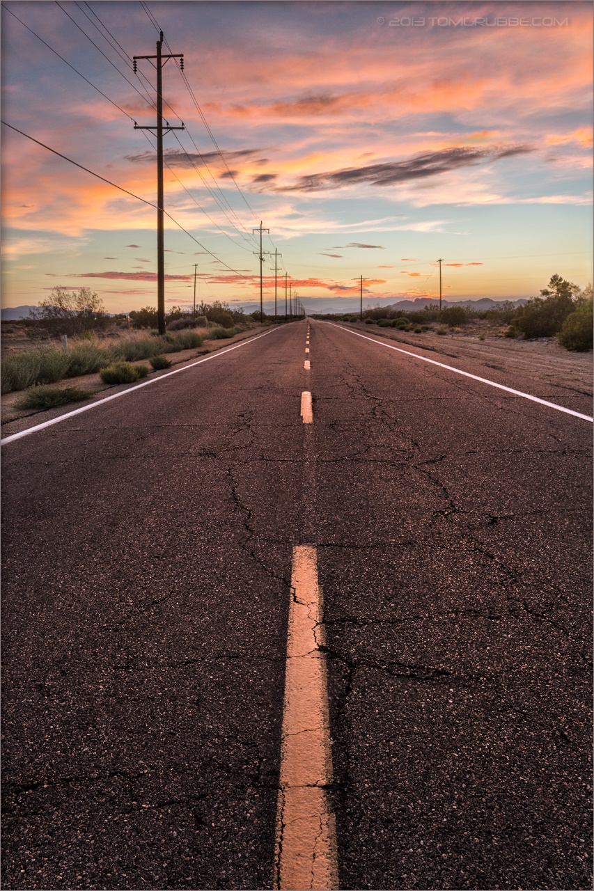
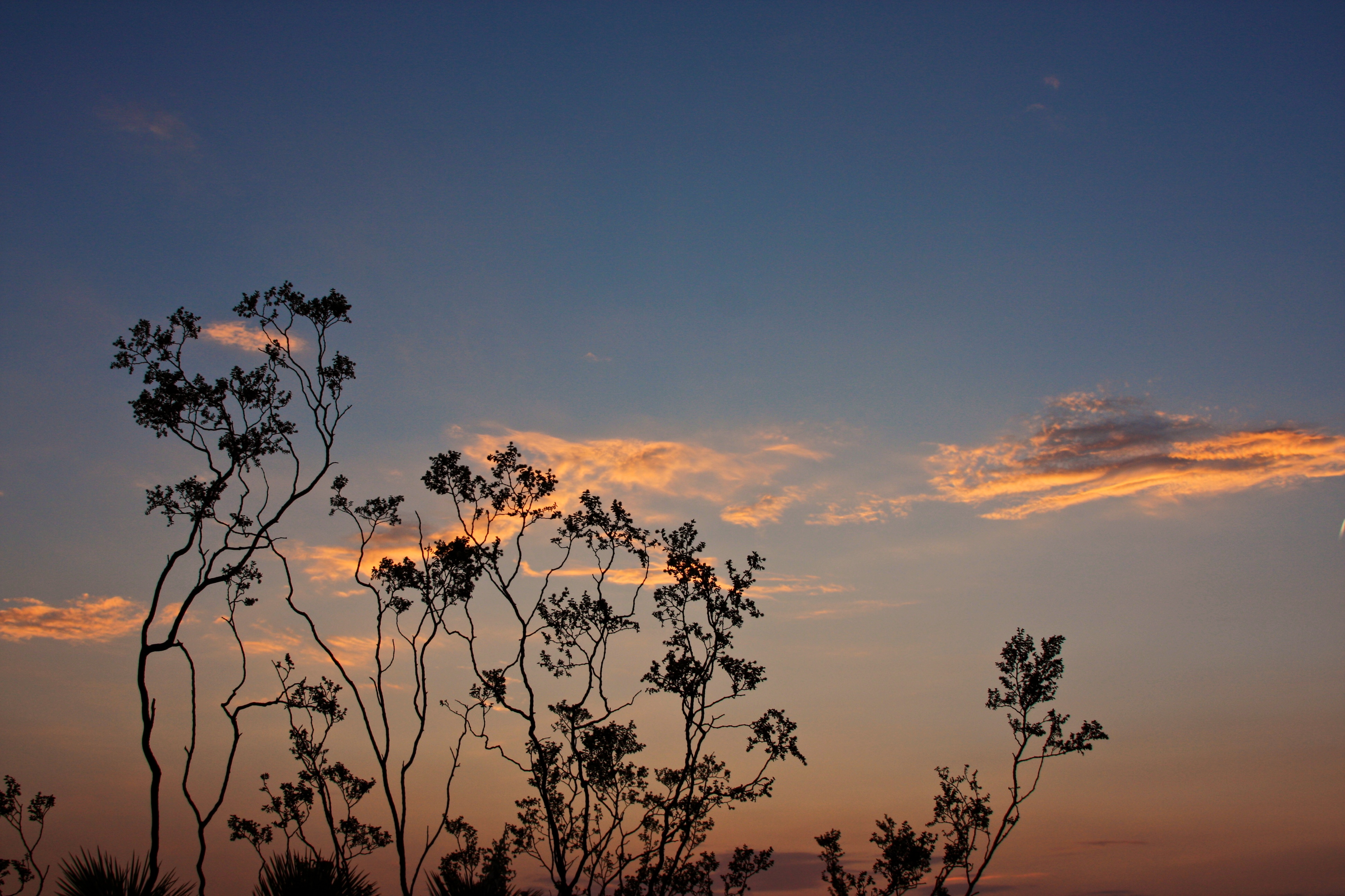
Pearblossom Highway Sunset
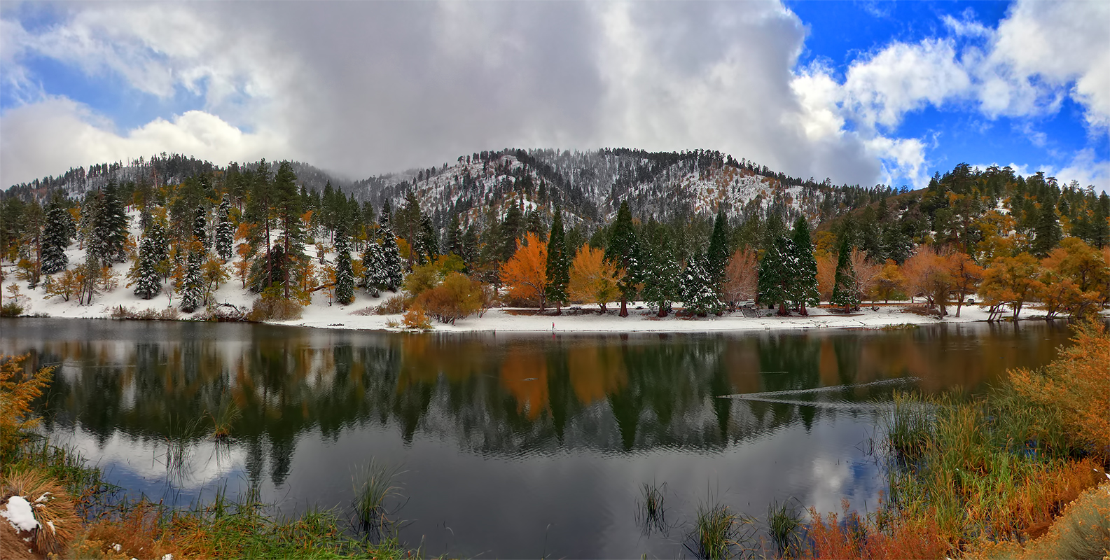
Autumn at Jackson Lake

Fading Storm on Williamson [Explored]

Darkness Sets
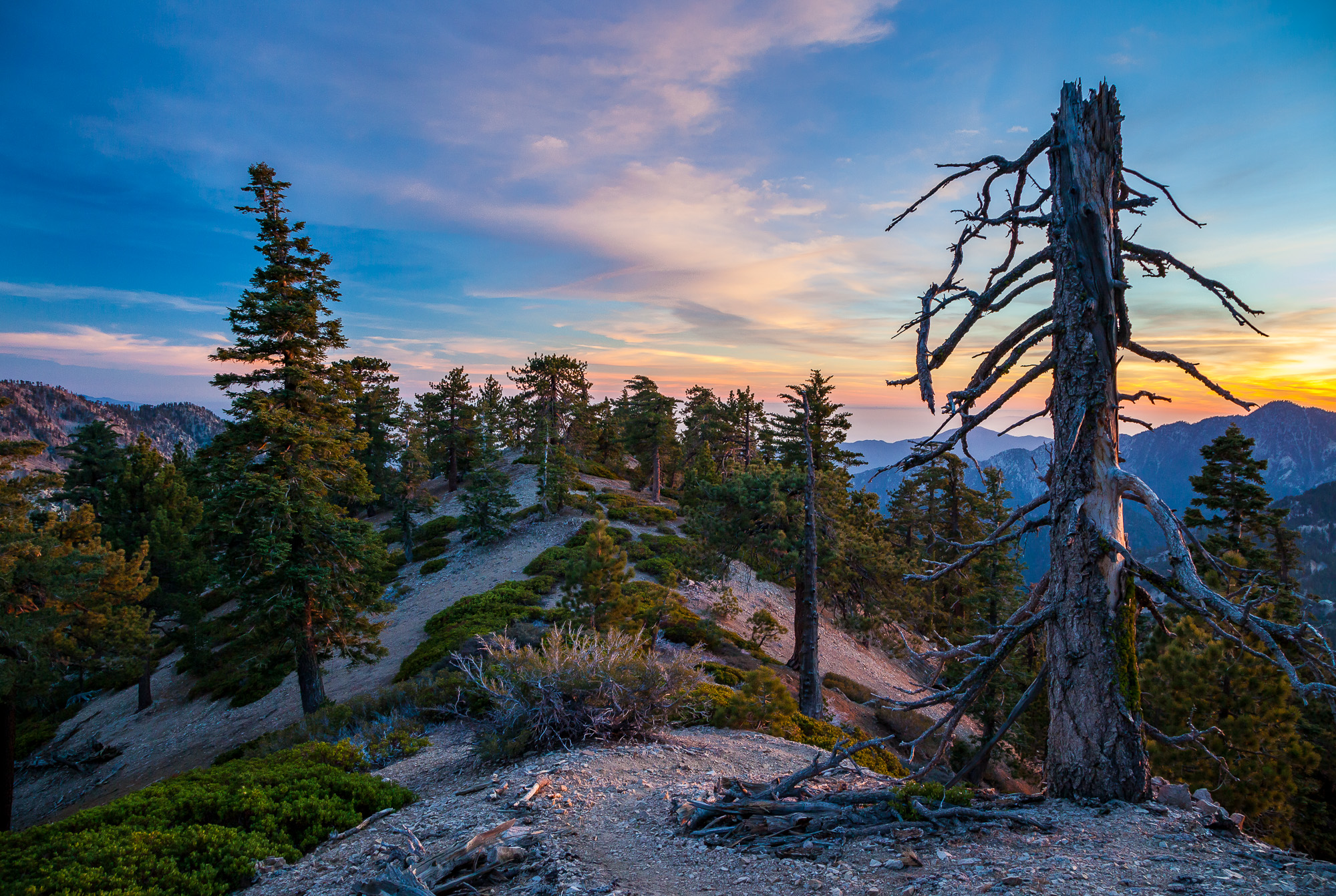
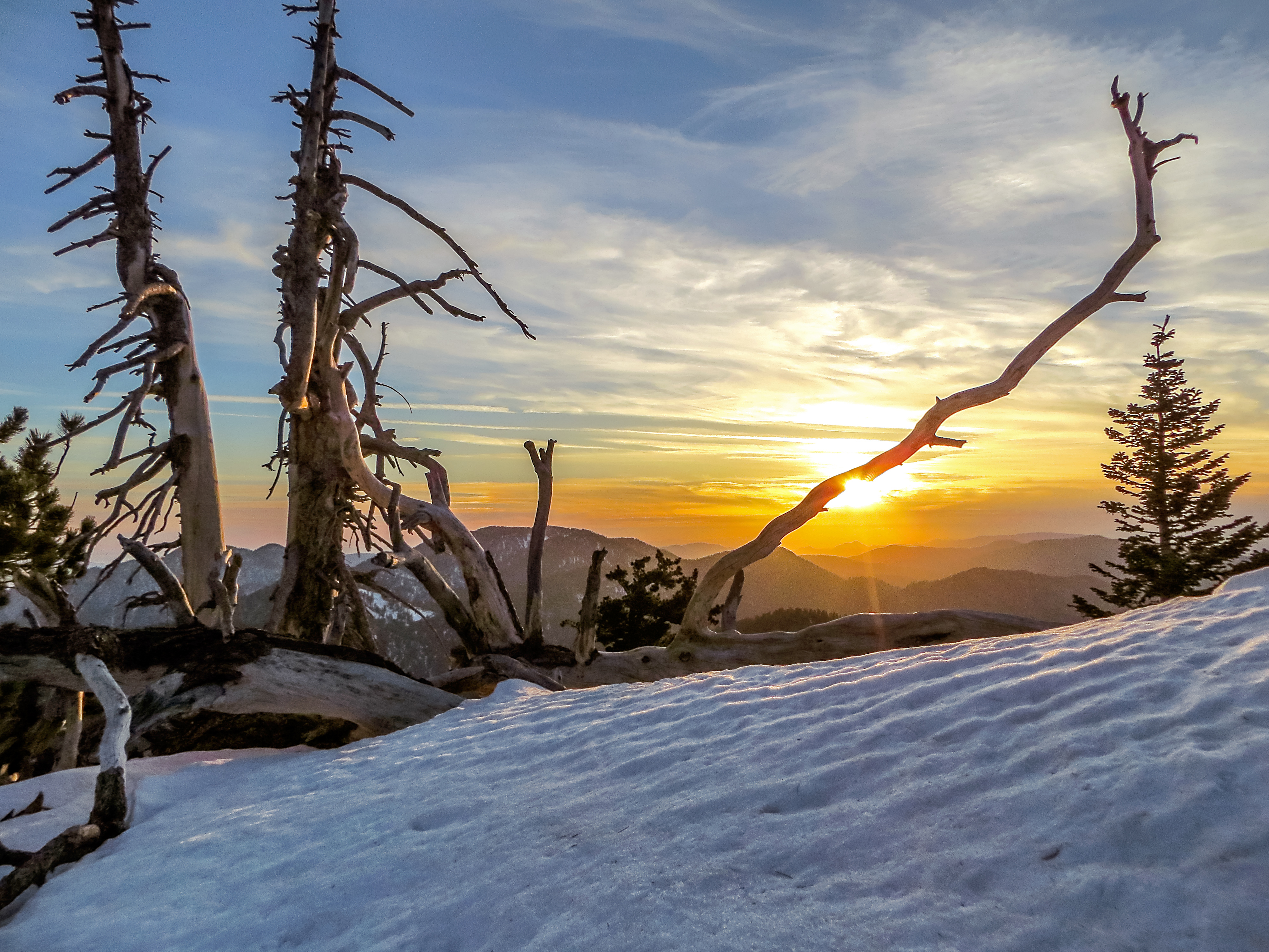
Life is harsh on the ridge.
NO->middle<-WHERE
Snowy Summit, Project 365: 61/365
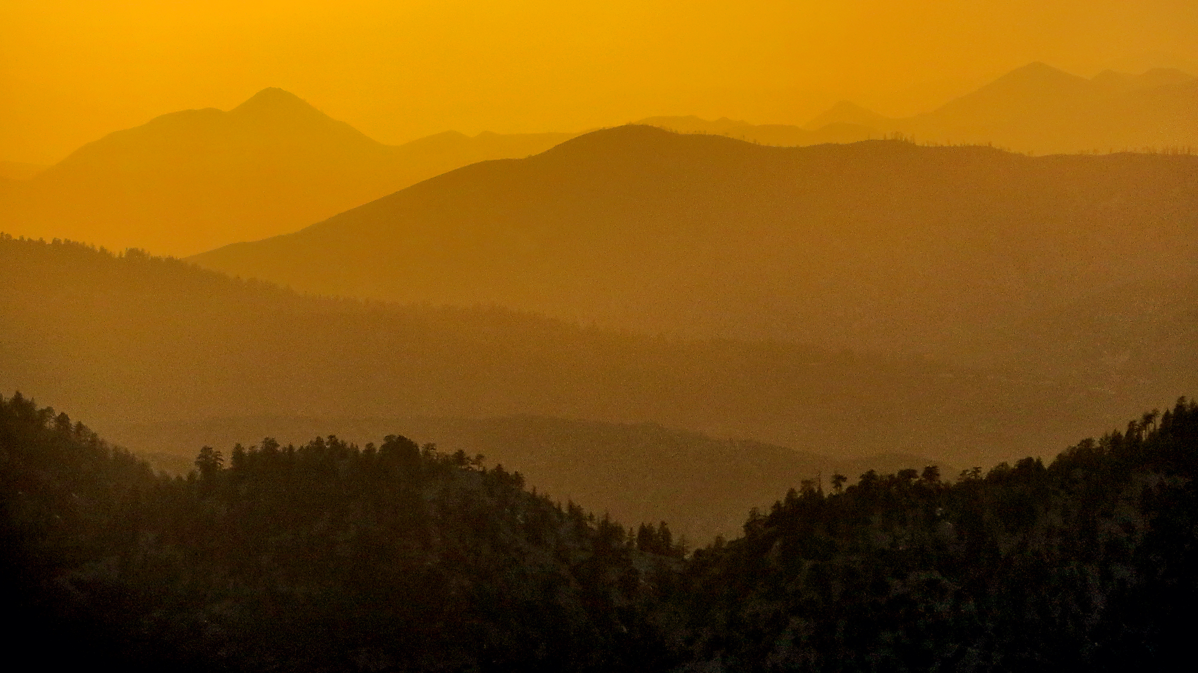
Tangerine Topography
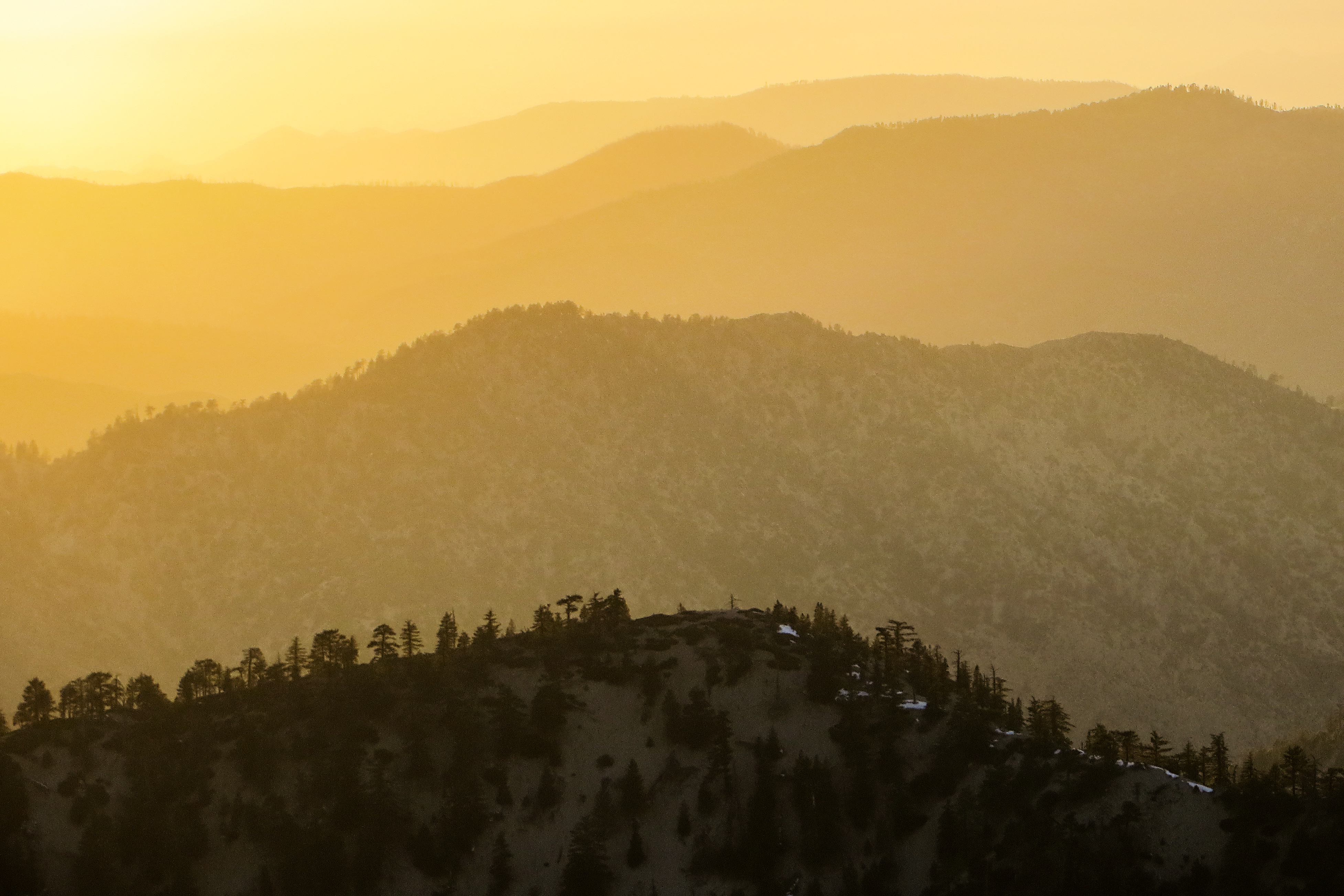
Sunset over the San Gabriel and Pleasant View Ridge Wilderness Areas

Wake me when it's over [Explored]
Past the Mission
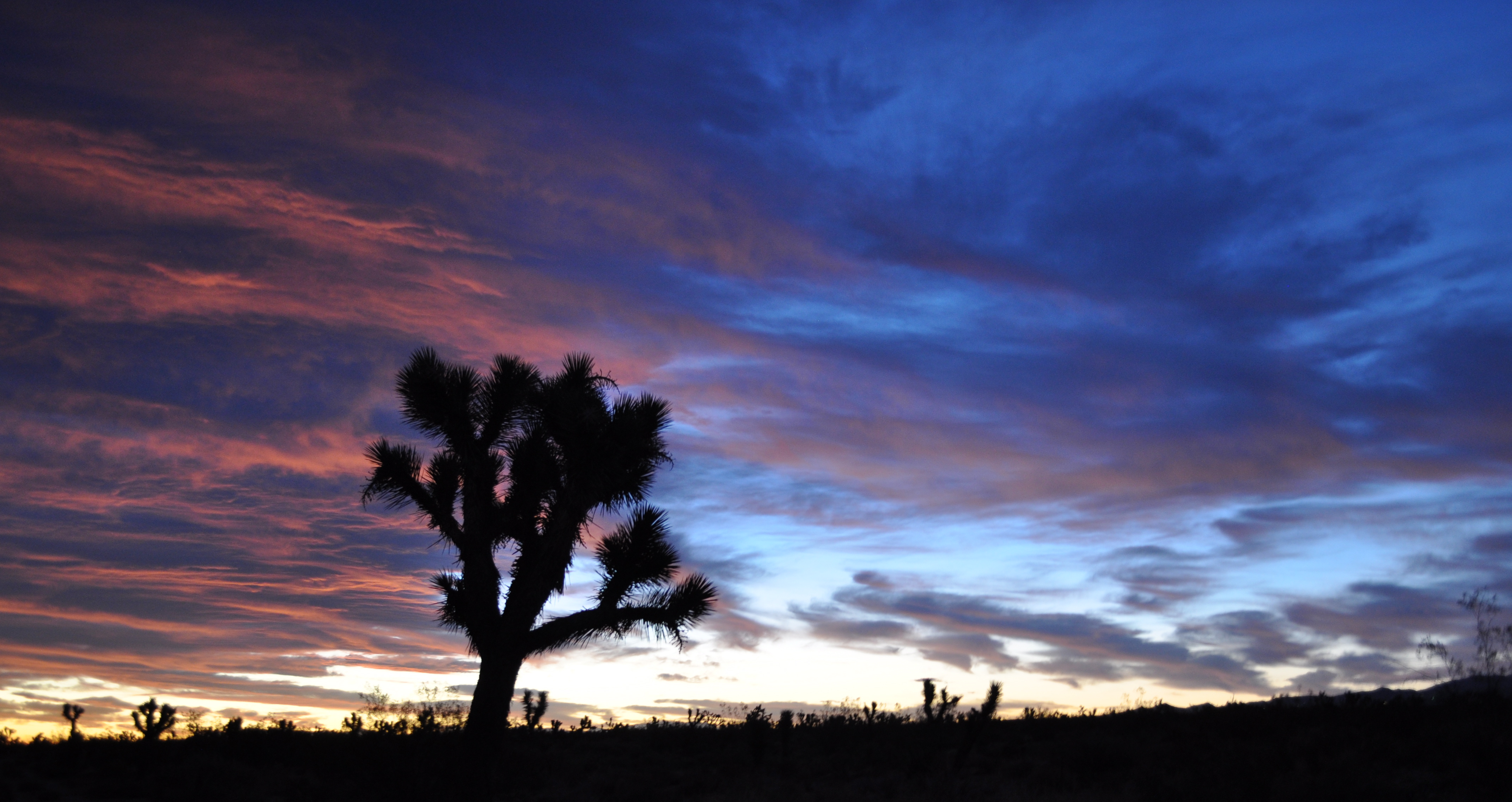
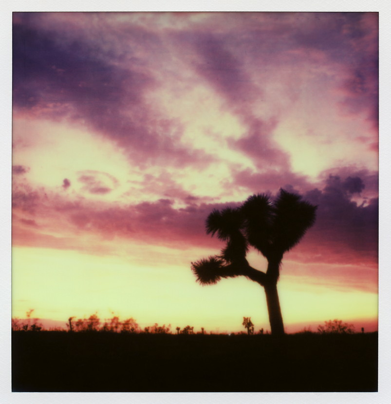
Joshua shades of blue
Started super early this morning, before the sun came out.
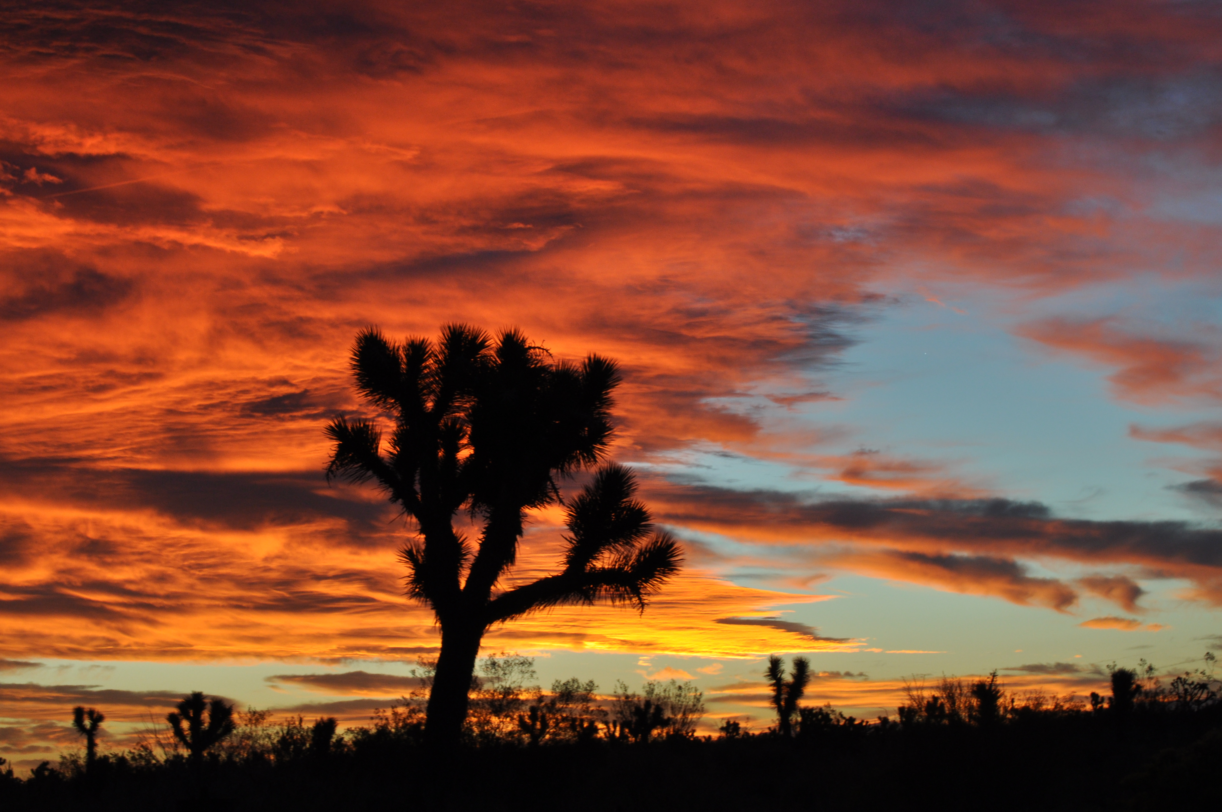
Joshua fire sky
The Devil's Punchbowl
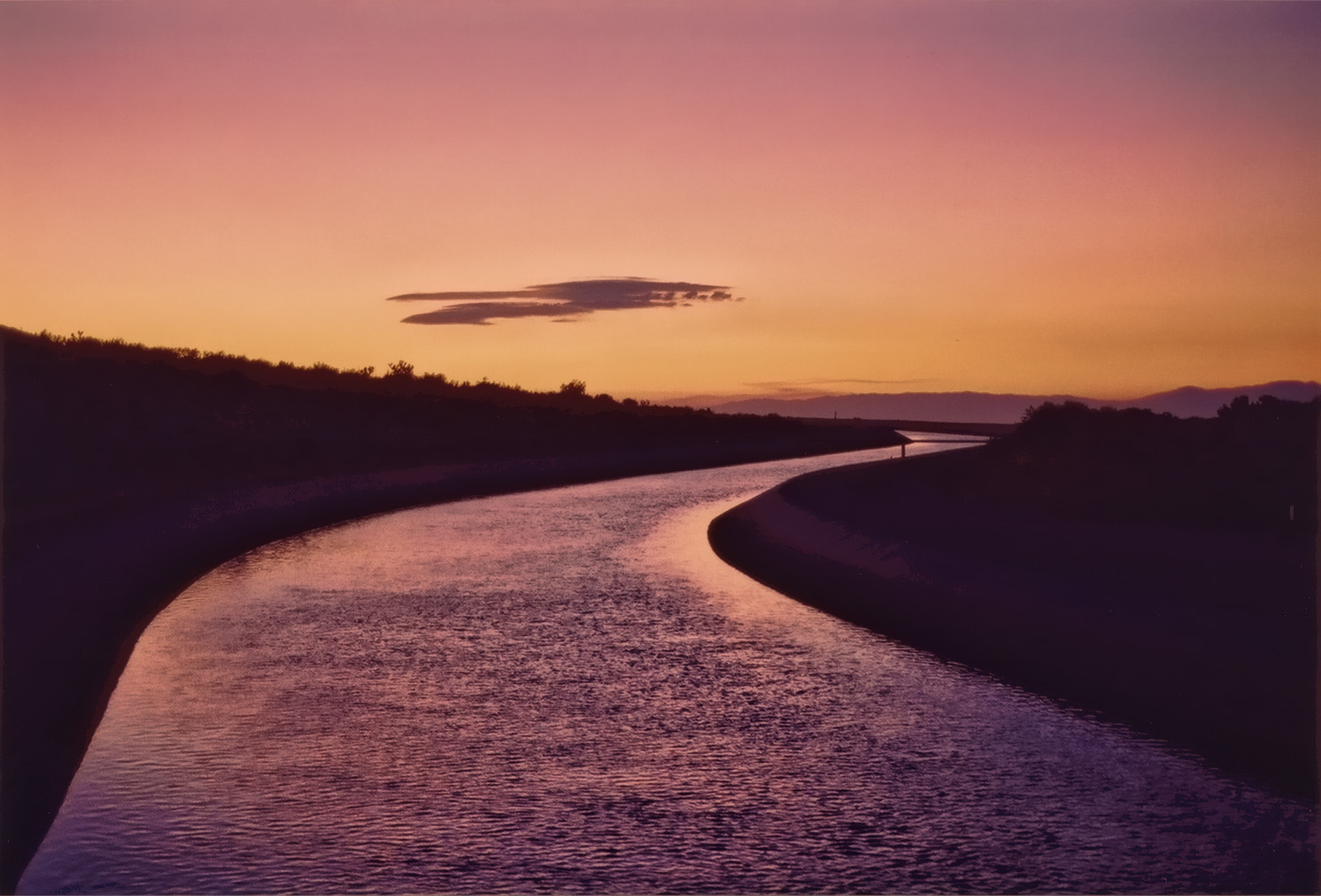
California Aqueduct Near Valyermo, CA 4
St Andrew Abbey sunset
Sunset Haze on Williamson
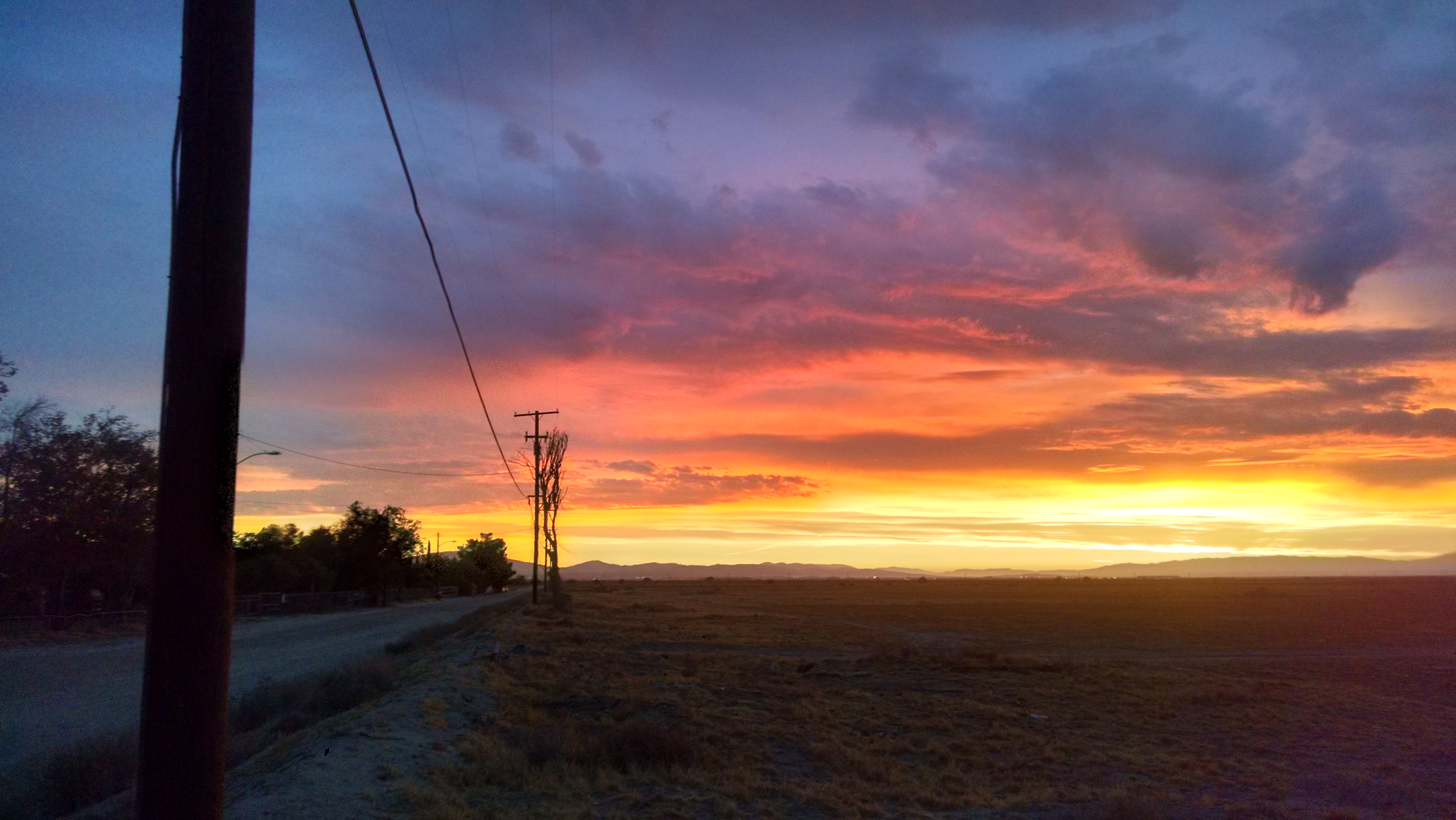
2015-06-28 20.16.27
2015-06-28 20.14.05

Valyermo Dawn
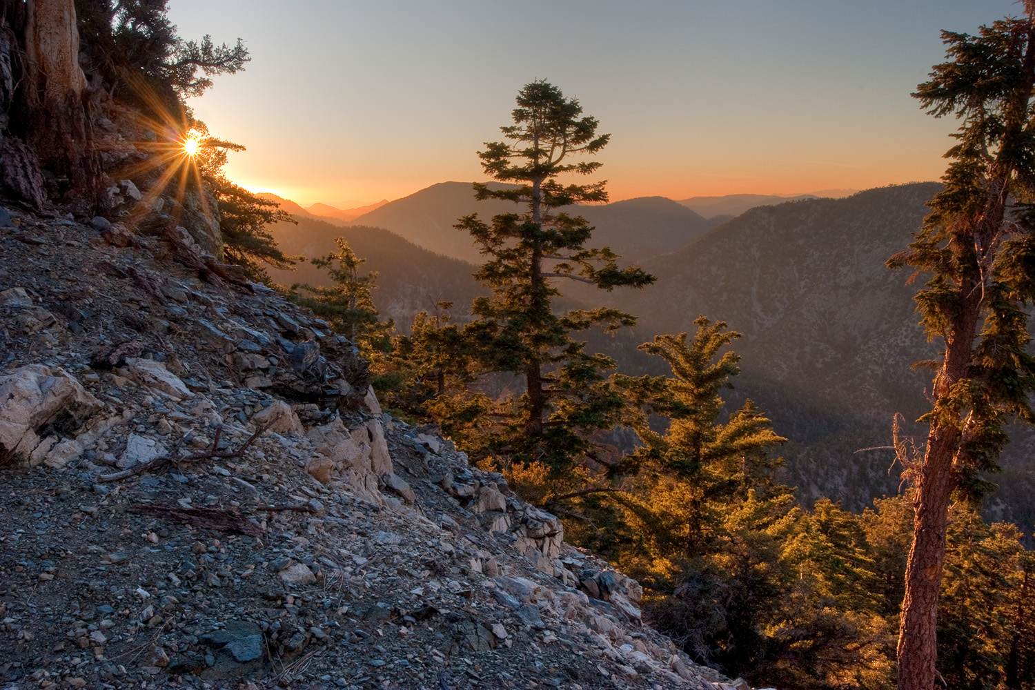
Canyon Light
Live 4eva
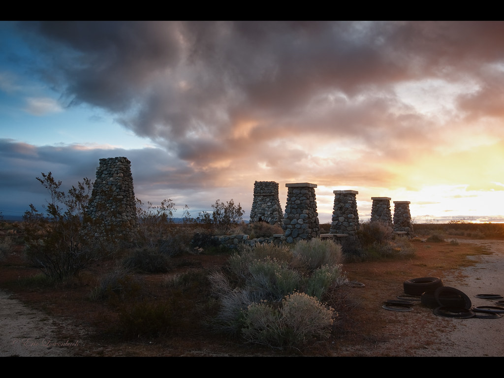
Four Aces (panorama)
#VSCOCam Desert sunrise
Llano, CA, USA Karte
Suchen Sie einen anderen Ort
Orte in Llano, CA, USA
Nahe Plätze
E Ave X, Llano, CA, USA
Boca Raton Avenue, Boca Raton Ave, Llano, CA, USA
N Valyermo Rd, Valyermo, CA, USA
E Ave W 6, Pearblossom, CA, USA
Fort Tejon Rd, Pearblossom, CA, USA
Pearblossom, CA, USA
Lake Los Angeles, CA, USA
96th Street East, 96th St E, California, USA
95th St E, Littlerock, CA, USA
Littlerock, CA, USA
90th St E, Littlerock, CA, USA
Little Rock Reservoir, California, USA
Cheseboro Rd, Palmdale, CA, USA
Palmdale, Kalifornien, USA
Boxthorn St, Palmdale, CA, USA
50th St E, Palmdale, CA, USA
Palmdale Hills Dr, Palmdale, CA, USA
Sulphur Springs Rd, Palmdale, CA, USA
Mount Emma Road, Mt Emma Rd, Palmdale, CA, USA
Dedham Ct, Palmdale, CA, USA
Letzte Suche
- Red Dog Mine, AK, USA Sonnenaufgang Sonnenuntergang Zeiten
- Am Bahnhof, Am bhf, Borken, Germany Sonnenaufgang Sonnenuntergang Zeiten
- 4th St E, Sonoma, CA, USA Sonnenaufgang Sonnenuntergang Zeiten
- Oakland Ave, Williamsport, PA, USA Sonnenaufgang Sonnenuntergang Zeiten
- Via Roma, Pieranica CR, Italien Sonnenaufgang Sonnenuntergang Zeiten
- Glockenturm, Grad, Dubrovnik, Kroatien Sonnenaufgang Sonnenuntergang Zeiten
- Trelew, Chubut Province, Argentina Sonnenaufgang Sonnenuntergang Zeiten
- Hartfords Bluff Cir, Mt Pleasant, SC, USA Sonnenaufgang Sonnenuntergang Zeiten
- Kita-ku, Kumamoto, Präfektur Kumamoto, Japan Sonnenaufgang Sonnenuntergang Zeiten
- Pingtan Island, Pingtan County, Fuzhou, China Sonnenaufgang Sonnenuntergang Zeiten