| Timezone: | Mountain Standard Time |
|---|---|
| Current Time: | Monday, November 9, 2026 7:22 AM |
| Longitude: | -112.936905 |
| Latitude: | 33.4938042 |
| Sunrise Time Today: | 6:59:03 AM |
| Sunset Time Today: | 5:34:47 PM |
| Daylength Today: | 10h 35m 43s |
| Sunrise Time Tomorrow: | 6:59:59 AM |
| Sunset Time Tomorrow: | 5:34:04 PM |
| Daylength Tomorrow: | 10h 34m 4s |
: Show All Dates
| Date | Sunrise Time | Sunset Time | Daylength |
|---|---|---|---|
| Jan 1, 2026 | 7:36:59 AM | 5:35:04 PM | 9h 58m 4s |
| Feb 1, 2026 | 7:29:51 AM | 6:03:02 PM | 10h 33m 10s |
| Mar 1, 2026 | 7:02:47 AM | 6:28:43 PM | 11h 25m 56s |
| Apr 1, 2026 | 6:21:50 AM | 6:52:14 PM | 12h 30m 23s |
| May 1, 2026 | 5:45:36 AM | 7:14:41 PM | 13h 29m 5s |
| Jun 1, 2026 | 5:24:36 AM | 7:37:13 PM | 14h 12m 37s |
| Jul 1, 2026 | 5:26:14 AM | 7:46:53 PM | 14h 20m 39s |
| Aug 1, 2026 | 5:44:40 AM | 7:34:00 PM | 13h 49m 19s |
| Sep 1, 2026 | 6:06:35 AM | 7:00:35 PM | 12h 54m 0s |
| Oct 1, 2026 | 6:26:31 AM | 6:19:23 PM | 11h 52m 51s |
| Nov 1, 2026 | 6:50:50 AM | 5:42:20 PM | 10h 51m 29s |
| Nov 9, 2026 | 6:58:07 AM | 5:35:31 PM | 10h 37m 23s |
| Nov 10, 2026 | 6:59:03 AM | 5:34:47 PM | 10h 35m 43s |
| Dec 1, 2026 | 7:18:27 AM | 5:25:25 PM | 10h 6m 57s |
Sunrise & Sunset Photos

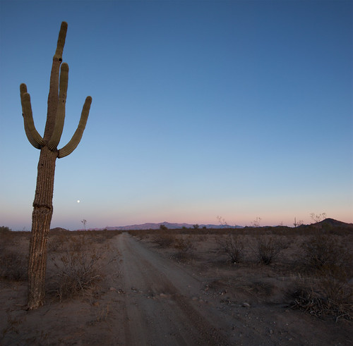
Saddle Mountain BLM by kevin dooley
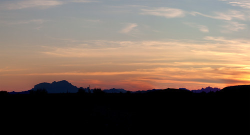
White Tank Mountains at Sunset by squeaks2569
Sunset Over Saddle Mountain by squeaks2569

Well Positioned Sunset by ikewinski

Saddle Mountain Sunset by ikewinski

IMAG6770_1 by Kbrn2009

Smoke Stacks? Nuclear tests? Con trails? What new hell is being unleashed?!#bearsontheroad #roadtripparanoia by Shutter Bear Photography
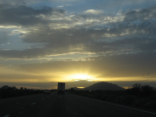
Sunset along I-10 by antoarre

The long day is over by cyberhobo

I-10 Sunset by jasontho
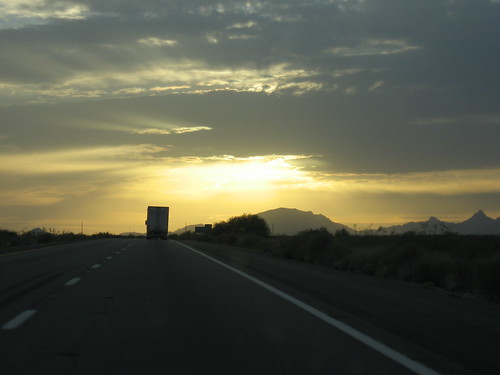
Sunset along I-10 by antoarre

Get on board #trucks #cloudporn #skyporn #sunset by vicshootz photography

Sunset along I-10 by antoarre

0303-182524 by yourmap

Sunrise by pelted

IMG_4979 by Mr. Shivers