Sunrise Sunset Times of NW 11th St, Ontario, OR, USA
Location: United States > Oregon > Malheur County > Ontario >
Timezone:
America/Denver
Current Time:
2025-07-10 01:27:59
Longitude:
-116.9790899
Latitude:
44.0484164
Sunrise Today:
06:15:23 AM
Sunset Today:
09:31:28 PM
Daylength Today:
15h 16m 5s
Sunrise Tomorrow:
06:16:12 AM
Sunset Tomorrow:
09:30:55 PM
Daylength Tomorrow:
15h 14m 43s
Year Show All Dates
| Date | Sunrise | Sunset | Daylength |
|---|---|---|---|
| 01/01/2025 | 08:22:43 AM | 05:21:30 PM | 8h 58m 47s |
| 01/02/2025 | 08:22:42 AM | 05:22:27 PM | 8h 59m 45s |
| 01/03/2025 | 08:22:38 AM | 05:23:25 PM | 9h 0m 47s |
| 01/04/2025 | 08:22:32 AM | 05:24:25 PM | 9h 1m 53s |
| 01/05/2025 | 08:22:23 AM | 05:25:27 PM | 9h 3m 4s |
| 01/06/2025 | 08:22:11 AM | 05:26:30 PM | 9h 4m 19s |
| 01/07/2025 | 08:21:57 AM | 05:27:34 PM | 9h 5m 37s |
| 01/08/2025 | 08:21:40 AM | 05:28:40 PM | 9h 7m 0s |
| 01/09/2025 | 08:21:21 AM | 05:29:48 PM | 9h 8m 27s |
| 01/10/2025 | 08:21:00 AM | 05:30:57 PM | 9h 9m 57s |
| 01/11/2025 | 08:20:36 AM | 05:32:07 PM | 9h 11m 31s |
| 01/12/2025 | 08:20:10 AM | 05:33:18 PM | 9h 13m 8s |
| 01/13/2025 | 08:19:41 AM | 05:34:30 PM | 9h 14m 49s |
| 01/14/2025 | 08:19:10 AM | 05:35:43 PM | 9h 16m 33s |
| 01/15/2025 | 08:18:36 AM | 05:36:58 PM | 9h 18m 22s |
| 01/16/2025 | 08:18:00 AM | 05:38:13 PM | 9h 20m 13s |
| 01/17/2025 | 08:17:22 AM | 05:39:29 PM | 9h 22m 7s |
| 01/18/2025 | 08:16:42 AM | 05:40:46 PM | 9h 24m 4s |
| 01/19/2025 | 08:15:59 AM | 05:42:04 PM | 9h 26m 5s |
| 01/20/2025 | 08:15:14 AM | 05:43:22 PM | 9h 28m 8s |
| 01/21/2025 | 08:14:27 AM | 05:44:41 PM | 9h 30m 14s |
| 01/22/2025 | 08:13:38 AM | 05:46:01 PM | 9h 32m 23s |
| 01/23/2025 | 08:12:47 AM | 05:47:21 PM | 9h 34m 34s |
| 01/24/2025 | 08:11:53 AM | 05:48:42 PM | 9h 36m 49s |
| 01/25/2025 | 08:10:58 AM | 05:50:03 PM | 9h 39m 5s |
| 01/26/2025 | 08:10:00 AM | 05:51:25 PM | 9h 41m 25s |
| 01/27/2025 | 08:09:01 AM | 05:52:47 PM | 9h 43m 46s |
| 01/28/2025 | 08:08:00 AM | 05:54:09 PM | 9h 46m 9s |
| 01/29/2025 | 08:06:56 AM | 05:55:31 PM | 9h 48m 35s |
| 01/30/2025 | 08:05:51 AM | 05:56:54 PM | 9h 51m 3s |
| 01/31/2025 | 08:04:44 AM | 05:58:17 PM | 9h 53m 33s |
| 02/01/2025 | 08:03:36 AM | 05:59:40 PM | 9h 56m 4s |
| 02/02/2025 | 08:02:25 AM | 06:01:03 PM | 9h 58m 38s |
| 02/03/2025 | 08:01:13 AM | 06:02:26 PM | 10h 1m 13s |
| 02/04/2025 | 08:00:00 AM | 06:03:49 PM | 10h 3m 49s |
| 02/05/2025 | 07:58:44 AM | 06:05:13 PM | 10h 6m 29s |
| 02/06/2025 | 07:57:27 AM | 06:06:36 PM | 10h 9m 9s |
| 02/07/2025 | 07:56:09 AM | 06:07:59 PM | 10h 11m 50s |
| 02/08/2025 | 07:54:49 AM | 06:09:22 PM | 10h 14m 33s |
| 02/09/2025 | 07:53:27 AM | 06:10:45 PM | 10h 17m 18s |
| 02/10/2025 | 07:52:05 AM | 06:12:08 PM | 10h 20m 3s |
| 02/11/2025 | 07:50:41 AM | 06:13:30 PM | 10h 22m 49s |
| 02/12/2025 | 07:49:15 AM | 06:14:53 PM | 10h 25m 38s |
| 02/13/2025 | 07:47:48 AM | 06:16:15 PM | 10h 28m 27s |
| 02/14/2025 | 07:46:20 AM | 06:17:37 PM | 10h 31m 17s |
| 02/15/2025 | 07:44:51 AM | 06:18:59 PM | 10h 34m 8s |
| 02/16/2025 | 07:43:20 AM | 06:20:21 PM | 10h 37m 1s |
| 02/17/2025 | 07:41:49 AM | 06:21:43 PM | 10h 39m 54s |
| 02/18/2025 | 07:40:16 AM | 06:23:04 PM | 10h 42m 48s |
| 02/19/2025 | 07:38:42 AM | 06:24:25 PM | 10h 45m 43s |
| 02/20/2025 | 07:37:08 AM | 06:25:45 PM | 10h 48m 37s |
| 02/21/2025 | 07:35:32 AM | 06:27:06 PM | 10h 51m 34s |
| 02/22/2025 | 07:33:55 AM | 06:28:26 PM | 10h 54m 31s |
| 02/23/2025 | 07:32:17 AM | 06:29:46 PM | 10h 57m 29s |
| 02/24/2025 | 07:30:39 AM | 06:31:05 PM | 11h 0m 26s |
| 02/25/2025 | 07:28:59 AM | 06:32:25 PM | 11h 3m 26s |
| 02/26/2025 | 07:27:19 AM | 06:33:44 PM | 11h 6m 25s |
| 02/27/2025 | 07:25:38 AM | 06:35:02 PM | 11h 9m 24s |
| 02/28/2025 | 07:23:57 AM | 06:36:21 PM | 11h 12m 24s |
| 03/01/2025 | 07:22:14 AM | 06:37:39 PM | 11h 15m 25s |
| 03/02/2025 | 07:20:31 AM | 06:38:57 PM | 11h 18m 26s |
| 03/03/2025 | 07:18:47 AM | 06:40:14 PM | 11h 21m 27s |
| 03/04/2025 | 07:17:03 AM | 06:41:32 PM | 11h 24m 29s |
| 03/05/2025 | 07:15:18 AM | 06:42:49 PM | 11h 27m 31s |
| 03/06/2025 | 07:13:33 AM | 06:44:06 PM | 11h 30m 33s |
| 03/07/2025 | 07:11:47 AM | 06:45:22 PM | 11h 33m 35s |
| 03/08/2025 | 07:10:00 AM | 06:46:38 PM | 11h 36m 38s |
| 03/09/2025 | 08:08:18 AM | 07:47:51 PM | 11h 39m 33s |
| 03/10/2025 | 08:06:31 AM | 07:49:07 PM | 11h 42m 36s |
| 03/11/2025 | 08:04:43 AM | 07:50:22 PM | 11h 45m 39s |
| 03/12/2025 | 08:02:55 AM | 07:51:38 PM | 11h 48m 43s |
| 03/13/2025 | 08:01:07 AM | 07:52:53 PM | 11h 51m 46s |
| 03/14/2025 | 07:59:18 AM | 07:54:08 PM | 11h 54m 50s |
| 03/15/2025 | 07:57:30 AM | 07:55:23 PM | 11h 57m 53s |
| 03/16/2025 | 07:55:41 AM | 07:56:37 PM | 12h 0m 56s |
| 03/17/2025 | 07:53:51 AM | 07:57:52 PM | 12h 4m 1s |
| 03/18/2025 | 07:52:02 AM | 07:59:06 PM | 12h 7m 4s |
| 03/19/2025 | 07:50:13 AM | 08:00:20 PM | 12h 10m 7s |
| 03/20/2025 | 07:48:23 AM | 08:01:34 PM | 12h 13m 11s |
| 03/21/2025 | 07:46:34 AM | 08:02:47 PM | 12h 16m 13s |
| 03/22/2025 | 07:44:44 AM | 08:04:01 PM | 12h 19m 17s |
| 03/23/2025 | 07:42:54 AM | 08:05:15 PM | 12h 22m 21s |
| 03/24/2025 | 07:41:05 AM | 08:06:28 PM | 12h 25m 23s |
| 03/25/2025 | 07:39:15 AM | 08:07:41 PM | 12h 28m 26s |
| 03/26/2025 | 07:37:26 AM | 08:08:55 PM | 12h 31m 29s |
| 03/27/2025 | 07:35:36 AM | 08:10:08 PM | 12h 34m 32s |
| 03/28/2025 | 07:33:47 AM | 08:11:21 PM | 12h 37m 34s |
| 03/29/2025 | 07:31:58 AM | 08:12:34 PM | 12h 40m 36s |
| 03/30/2025 | 07:30:09 AM | 08:13:47 PM | 12h 43m 38s |
| 03/31/2025 | 07:28:21 AM | 08:15:00 PM | 12h 46m 39s |
| 04/01/2025 | 07:26:33 AM | 08:16:13 PM | 12h 49m 40s |
| 04/02/2025 | 07:24:45 AM | 08:17:25 PM | 12h 52m 40s |
| 04/03/2025 | 07:22:57 AM | 08:18:38 PM | 12h 55m 41s |
| 04/04/2025 | 07:21:10 AM | 08:19:51 PM | 12h 58m 41s |
| 04/05/2025 | 07:19:23 AM | 08:21:04 PM | 13h 1m 41s |
| 04/06/2025 | 07:17:37 AM | 08:22:17 PM | 13h 4m 40s |
| 04/07/2025 | 07:15:51 AM | 08:23:29 PM | 13h 7m 38s |
| 04/08/2025 | 07:14:06 AM | 08:24:42 PM | 13h 10m 36s |
| 04/09/2025 | 07:12:21 AM | 08:25:55 PM | 13h 13m 34s |
| 04/10/2025 | 07:10:36 AM | 08:27:08 PM | 13h 16m 32s |
| 04/11/2025 | 07:08:53 AM | 08:28:20 PM | 13h 19m 27s |
| 04/12/2025 | 07:07:10 AM | 08:29:33 PM | 13h 22m 23s |
| 04/13/2025 | 07:05:27 AM | 08:30:46 PM | 13h 25m 19s |
| 04/14/2025 | 07:03:45 AM | 08:31:59 PM | 13h 28m 14s |
| 04/15/2025 | 07:02:04 AM | 08:33:11 PM | 13h 31m 7s |
| 04/16/2025 | 07:00:24 AM | 08:34:24 PM | 13h 34m 0s |
| 04/17/2025 | 06:58:45 AM | 08:35:37 PM | 13h 36m 52s |
| 04/18/2025 | 06:57:06 AM | 08:36:49 PM | 13h 39m 43s |
| 04/19/2025 | 06:55:28 AM | 08:38:02 PM | 13h 42m 34s |
| 04/20/2025 | 06:53:52 AM | 08:39:15 PM | 13h 45m 23s |
| 04/21/2025 | 06:52:16 AM | 08:40:27 PM | 13h 48m 11s |
| 04/22/2025 | 06:50:41 AM | 08:41:40 PM | 13h 50m 59s |
| 04/23/2025 | 06:49:07 AM | 08:42:53 PM | 13h 53m 46s |
| 04/24/2025 | 06:47:34 AM | 08:44:05 PM | 13h 56m 31s |
| 04/25/2025 | 06:46:02 AM | 08:45:17 PM | 13h 59m 15s |
| 04/26/2025 | 06:44:31 AM | 08:46:30 PM | 14h 1m 59s |
| 04/27/2025 | 06:43:02 AM | 08:47:42 PM | 14h 4m 40s |
| 04/28/2025 | 06:41:33 AM | 08:48:54 PM | 14h 7m 21s |
| 04/29/2025 | 06:40:06 AM | 08:50:06 PM | 14h 10m 0s |
| 04/30/2025 | 06:38:40 AM | 08:51:17 PM | 14h 12m 37s |
| 05/01/2025 | 06:37:15 AM | 08:52:29 PM | 14h 15m 14s |
| 05/02/2025 | 06:35:52 AM | 08:53:40 PM | 14h 17m 48s |
| 05/03/2025 | 06:34:30 AM | 08:54:51 PM | 14h 20m 21s |
| 05/04/2025 | 06:33:09 AM | 08:56:02 PM | 14h 22m 53s |
| 05/05/2025 | 06:31:50 AM | 08:57:12 PM | 14h 25m 22s |
| 05/06/2025 | 06:30:32 AM | 08:58:22 PM | 14h 27m 50s |
| 05/07/2025 | 06:29:15 AM | 08:59:32 PM | 14h 30m 17s |
| 05/08/2025 | 06:28:01 AM | 09:00:41 PM | 14h 32m 40s |
| 05/09/2025 | 06:26:47 AM | 09:01:50 PM | 14h 35m 3s |
| 05/10/2025 | 06:25:36 AM | 09:02:59 PM | 14h 37m 23s |
| 05/11/2025 | 06:24:26 AM | 09:04:07 PM | 14h 39m 41s |
| 05/12/2025 | 06:23:17 AM | 09:05:15 PM | 14h 41m 58s |
| 05/13/2025 | 06:22:11 AM | 09:06:21 PM | 14h 44m 10s |
| 05/14/2025 | 06:21:06 AM | 09:07:28 PM | 14h 46m 22s |
| 05/15/2025 | 06:20:02 AM | 09:08:34 PM | 14h 48m 32s |
| 05/16/2025 | 06:19:01 AM | 09:09:39 PM | 14h 50m 38s |
| 05/17/2025 | 06:18:01 AM | 09:10:43 PM | 14h 52m 42s |
| 05/18/2025 | 06:17:04 AM | 09:11:47 PM | 14h 54m 43s |
| 05/19/2025 | 06:16:08 AM | 09:12:50 PM | 14h 56m 42s |
| 05/20/2025 | 06:15:14 AM | 09:13:51 PM | 14h 58m 37s |
| 05/21/2025 | 06:14:22 AM | 09:14:53 PM | 15h 0m 31s |
| 05/22/2025 | 06:13:32 AM | 09:15:53 PM | 15h 2m 21s |
| 05/23/2025 | 06:12:44 AM | 09:16:52 PM | 15h 4m 8s |
| 05/24/2025 | 06:11:58 AM | 09:17:50 PM | 15h 5m 52s |
| 05/25/2025 | 06:11:14 AM | 09:18:47 PM | 15h 7m 33s |
| 05/26/2025 | 06:10:32 AM | 09:19:43 PM | 15h 9m 11s |
| 05/27/2025 | 06:09:52 AM | 09:20:38 PM | 15h 10m 46s |
| 05/28/2025 | 06:09:15 AM | 09:21:31 PM | 15h 12m 16s |
| 05/29/2025 | 06:08:39 AM | 09:22:24 PM | 15h 13m 45s |
| 05/30/2025 | 06:08:06 AM | 09:23:14 PM | 15h 15m 8s |
| 05/31/2025 | 06:07:35 AM | 09:24:04 PM | 15h 16m 29s |
| 06/01/2025 | 06:07:06 AM | 09:24:52 PM | 15h 17m 46s |
| 06/02/2025 | 06:06:39 AM | 09:25:39 PM | 15h 19m 0s |
| 06/03/2025 | 06:06:14 AM | 09:26:24 PM | 15h 20m 10s |
| 06/04/2025 | 06:05:52 AM | 09:27:08 PM | 15h 21m 16s |
| 06/05/2025 | 06:05:32 AM | 09:27:50 PM | 15h 22m 18s |
| 06/06/2025 | 06:05:14 AM | 09:28:30 PM | 15h 23m 16s |
| 06/07/2025 | 06:04:58 AM | 09:29:09 PM | 15h 24m 11s |
| 06/08/2025 | 06:04:45 AM | 09:29:46 PM | 15h 25m 1s |
| 06/09/2025 | 06:04:34 AM | 09:30:21 PM | 15h 25m 47s |
| 06/10/2025 | 06:04:25 AM | 09:30:54 PM | 15h 26m 29s |
| 06/11/2025 | 06:04:18 AM | 09:31:26 PM | 15h 27m 8s |
| 06/12/2025 | 06:04:14 AM | 09:31:55 PM | 15h 27m 41s |
| 06/13/2025 | 06:04:11 AM | 09:32:23 PM | 15h 28m 12s |
| 06/14/2025 | 06:04:12 AM | 09:32:48 PM | 15h 28m 36s |
| 06/15/2025 | 06:04:14 AM | 09:33:12 PM | 15h 28m 58s |
| 06/16/2025 | 06:04:18 AM | 09:33:34 PM | 15h 29m 16s |
| 06/17/2025 | 06:04:25 AM | 09:33:53 PM | 15h 29m 28s |
| 06/18/2025 | 06:04:34 AM | 09:34:11 PM | 15h 29m 37s |
| 06/19/2025 | 06:04:44 AM | 09:34:26 PM | 15h 29m 42s |
| 06/20/2025 | 06:04:57 AM | 09:34:39 PM | 15h 29m 42s |
| 06/21/2025 | 06:05:13 AM | 09:34:50 PM | 15h 29m 37s |
| 06/22/2025 | 06:05:30 AM | 09:34:59 PM | 15h 29m 29s |
| 06/23/2025 | 06:05:49 AM | 09:35:05 PM | 15h 29m 16s |
| 06/24/2025 | 06:06:10 AM | 09:35:09 PM | 15h 28m 59s |
| 06/25/2025 | 06:06:33 AM | 09:35:11 PM | 15h 28m 38s |
| 06/26/2025 | 06:06:58 AM | 09:35:11 PM | 15h 28m 13s |
| 06/27/2025 | 06:07:25 AM | 09:35:09 PM | 15h 27m 44s |
| 06/28/2025 | 06:07:54 AM | 09:35:04 PM | 15h 27m 10s |
| 06/29/2025 | 06:08:25 AM | 09:34:57 PM | 15h 26m 32s |
| 06/30/2025 | 06:08:58 AM | 09:34:48 PM | 15h 25m 50s |
| 07/01/2025 | 06:09:32 AM | 09:34:36 PM | 15h 25m 4s |
| 07/02/2025 | 06:10:08 AM | 09:34:22 PM | 15h 24m 14s |
| 07/03/2025 | 06:10:45 AM | 09:34:06 PM | 15h 23m 21s |
| 07/04/2025 | 06:11:25 AM | 09:33:47 PM | 15h 22m 22s |
| 07/05/2025 | 06:12:06 AM | 09:33:27 PM | 15h 21m 21s |
| 07/06/2025 | 06:12:48 AM | 09:33:03 PM | 15h 20m 15s |
| 07/07/2025 | 06:13:32 AM | 09:32:38 PM | 15h 19m 6s |
| 07/08/2025 | 06:14:17 AM | 09:32:11 PM | 15h 17m 54s |
| 07/09/2025 | 06:15:04 AM | 09:31:41 PM | 15h 16m 37s |
| 07/10/2025 | 06:15:52 AM | 09:31:09 PM | 15h 15m 17s |
| 07/11/2025 | 06:16:41 AM | 09:30:35 PM | 15h 13m 54s |
| 07/12/2025 | 06:17:31 AM | 09:29:58 PM | 15h 12m 27s |
| 07/13/2025 | 06:18:23 AM | 09:29:20 PM | 15h 10m 57s |
| 07/14/2025 | 06:19:16 AM | 09:28:39 PM | 15h 9m 23s |
| 07/15/2025 | 06:20:10 AM | 09:27:56 PM | 15h 7m 46s |
| 07/16/2025 | 06:21:05 AM | 09:27:11 PM | 15h 6m 6s |
| 07/17/2025 | 06:22:01 AM | 09:26:24 PM | 15h 4m 23s |
| 07/18/2025 | 06:22:58 AM | 09:25:35 PM | 15h 2m 37s |
| 07/19/2025 | 06:23:56 AM | 09:24:44 PM | 15h 0m 48s |
| 07/20/2025 | 06:24:54 AM | 09:23:51 PM | 14h 58m 57s |
| 07/21/2025 | 06:25:54 AM | 09:22:56 PM | 14h 57m 2s |
| 07/22/2025 | 06:26:54 AM | 09:21:59 PM | 14h 55m 5s |
| 07/23/2025 | 06:27:55 AM | 09:21:00 PM | 14h 53m 5s |
| 07/24/2025 | 06:28:57 AM | 09:20:00 PM | 14h 51m 3s |
| 07/25/2025 | 06:29:59 AM | 09:18:57 PM | 14h 48m 58s |
| 07/26/2025 | 06:31:02 AM | 09:17:53 PM | 14h 46m 51s |
| 07/27/2025 | 06:32:06 AM | 09:16:47 PM | 14h 44m 41s |
| 07/28/2025 | 06:33:10 AM | 09:15:39 PM | 14h 42m 29s |
| 07/29/2025 | 06:34:14 AM | 09:14:29 PM | 14h 40m 15s |
| 07/30/2025 | 06:35:19 AM | 09:13:18 PM | 14h 37m 59s |
| 07/31/2025 | 06:36:25 AM | 09:12:05 PM | 14h 35m 40s |
| 08/01/2025 | 06:37:31 AM | 09:10:51 PM | 14h 33m 20s |
| 08/02/2025 | 06:38:37 AM | 09:09:35 PM | 14h 30m 58s |
| 08/03/2025 | 06:39:43 AM | 09:08:17 PM | 14h 28m 34s |
| 08/04/2025 | 06:40:50 AM | 09:06:58 PM | 14h 26m 8s |
| 08/05/2025 | 06:41:57 AM | 09:05:37 PM | 14h 23m 40s |
| 08/06/2025 | 06:43:04 AM | 09:04:15 PM | 14h 21m 11s |
| 08/07/2025 | 06:44:12 AM | 09:02:52 PM | 14h 18m 40s |
| 08/08/2025 | 06:45:20 AM | 09:01:27 PM | 14h 16m 7s |
| 08/09/2025 | 06:46:27 AM | 09:00:01 PM | 14h 13m 34s |
| 08/10/2025 | 06:47:35 AM | 08:58:34 PM | 14h 10m 59s |
| 08/11/2025 | 06:48:44 AM | 08:57:05 PM | 14h 8m 21s |
| 08/12/2025 | 06:49:52 AM | 08:55:36 PM | 14h 5m 44s |
| 08/13/2025 | 06:51:00 AM | 08:54:05 PM | 14h 3m 5s |
| 08/14/2025 | 06:52:09 AM | 08:52:33 PM | 14h 0m 24s |
| 08/15/2025 | 06:53:17 AM | 08:50:59 PM | 13h 57m 42s |
| 08/16/2025 | 06:54:26 AM | 08:49:25 PM | 13h 54m 59s |
| 08/17/2025 | 06:55:34 AM | 08:47:50 PM | 13h 52m 16s |
| 08/18/2025 | 06:56:43 AM | 08:46:13 PM | 13h 49m 30s |
| 08/19/2025 | 06:57:51 AM | 08:44:36 PM | 13h 46m 45s |
| 08/20/2025 | 06:59:00 AM | 08:42:58 PM | 13h 43m 58s |
| 08/21/2025 | 07:00:08 AM | 08:41:19 PM | 13h 41m 11s |
| 08/22/2025 | 07:01:17 AM | 08:39:39 PM | 13h 38m 22s |
| 08/23/2025 | 07:02:25 AM | 08:37:58 PM | 13h 35m 33s |
| 08/24/2025 | 07:03:34 AM | 08:36:16 PM | 13h 32m 42s |
| 08/25/2025 | 07:04:42 AM | 08:34:34 PM | 13h 29m 52s |
| 08/26/2025 | 07:05:51 AM | 08:32:51 PM | 13h 27m 0s |
| 08/27/2025 | 07:06:59 AM | 08:31:07 PM | 13h 24m 8s |
| 08/28/2025 | 07:08:08 AM | 08:29:22 PM | 13h 21m 14s |
| 08/29/2025 | 07:09:16 AM | 08:27:37 PM | 13h 18m 21s |
| 08/30/2025 | 07:10:24 AM | 08:25:51 PM | 13h 15m 27s |
| 08/31/2025 | 07:11:33 AM | 08:24:05 PM | 13h 12m 32s |
| 09/01/2025 | 07:12:41 AM | 08:22:18 PM | 13h 9m 37s |
| 09/02/2025 | 07:13:49 AM | 08:20:30 PM | 13h 6m 41s |
| 09/03/2025 | 07:14:57 AM | 08:18:42 PM | 13h 3m 45s |
| 09/04/2025 | 07:16:06 AM | 08:16:54 PM | 13h 0m 48s |
| 09/05/2025 | 07:17:14 AM | 08:15:05 PM | 12h 57m 51s |
| 09/06/2025 | 07:18:22 AM | 08:13:16 PM | 12h 54m 54s |
| 09/07/2025 | 07:19:30 AM | 08:11:26 PM | 12h 51m 56s |
| 09/08/2025 | 07:20:38 AM | 08:09:36 PM | 12h 48m 58s |
| 09/09/2025 | 07:21:47 AM | 08:07:46 PM | 12h 45m 59s |
| 09/10/2025 | 07:22:55 AM | 08:05:56 PM | 12h 43m 1s |
| 09/11/2025 | 07:24:03 AM | 08:04:05 PM | 12h 40m 2s |
| 09/12/2025 | 07:25:12 AM | 08:02:14 PM | 12h 37m 2s |
| 09/13/2025 | 07:26:20 AM | 08:00:23 PM | 12h 34m 3s |
| 09/14/2025 | 07:27:28 AM | 07:58:31 PM | 12h 31m 3s |
| 09/15/2025 | 07:28:37 AM | 07:56:40 PM | 12h 28m 3s |
| 09/16/2025 | 07:29:45 AM | 07:54:49 PM | 12h 25m 4s |
| 09/17/2025 | 07:30:54 AM | 07:52:57 PM | 12h 22m 3s |
| 09/18/2025 | 07:32:03 AM | 07:51:05 PM | 12h 19m 2s |
| 09/19/2025 | 07:33:12 AM | 07:49:14 PM | 12h 16m 2s |
| 09/20/2025 | 07:34:21 AM | 07:47:22 PM | 12h 13m 1s |
| 09/21/2025 | 07:35:30 AM | 07:45:31 PM | 12h 10m 1s |
| 09/22/2025 | 07:36:39 AM | 07:43:39 PM | 12h 7m 0s |
| 09/23/2025 | 07:37:49 AM | 07:41:48 PM | 12h 3m 59s |
| 09/24/2025 | 07:38:58 AM | 07:39:57 PM | 12h 0m 59s |
| 09/25/2025 | 07:40:08 AM | 07:38:06 PM | 11h 57m 58s |
| 09/26/2025 | 07:41:18 AM | 07:36:15 PM | 11h 54m 57s |
| 09/27/2025 | 07:42:28 AM | 07:34:25 PM | 11h 51m 57s |
| 09/28/2025 | 07:43:39 AM | 07:32:35 PM | 11h 48m 56s |
| 09/29/2025 | 07:44:49 AM | 07:30:45 PM | 11h 45m 56s |
| 09/30/2025 | 07:46:00 AM | 07:28:55 PM | 11h 42m 55s |
| 10/01/2025 | 07:47:11 AM | 07:27:06 PM | 11h 39m 55s |
| 10/02/2025 | 07:48:22 AM | 07:25:17 PM | 11h 36m 55s |
| 10/03/2025 | 07:49:34 AM | 07:23:29 PM | 11h 33m 55s |
| 10/04/2025 | 07:50:46 AM | 07:21:41 PM | 11h 30m 55s |
| 10/05/2025 | 07:51:58 AM | 07:19:53 PM | 11h 27m 55s |
| 10/06/2025 | 07:53:10 AM | 07:18:06 PM | 11h 24m 56s |
| 10/07/2025 | 07:54:23 AM | 07:16:20 PM | 11h 21m 57s |
| 10/08/2025 | 07:55:36 AM | 07:14:34 PM | 11h 18m 58s |
| 10/09/2025 | 07:56:49 AM | 07:12:49 PM | 11h 16m 0s |
| 10/10/2025 | 07:58:02 AM | 07:11:04 PM | 11h 13m 2s |
| 10/11/2025 | 07:59:16 AM | 07:09:21 PM | 11h 10m 5s |
| 10/12/2025 | 08:00:30 AM | 07:07:38 PM | 11h 7m 8s |
| 10/13/2025 | 08:01:45 AM | 07:05:55 PM | 11h 4m 10s |
| 10/14/2025 | 08:02:59 AM | 07:04:14 PM | 11h 1m 15s |
| 10/15/2025 | 08:04:14 AM | 07:02:33 PM | 10h 58m 19s |
| 10/16/2025 | 08:05:30 AM | 07:00:53 PM | 10h 55m 23s |
| 10/17/2025 | 08:06:45 AM | 06:59:14 PM | 10h 52m 29s |
| 10/18/2025 | 08:08:01 AM | 06:57:36 PM | 10h 49m 35s |
| 10/19/2025 | 08:09:18 AM | 06:55:59 PM | 10h 46m 41s |
| 10/20/2025 | 08:10:34 AM | 06:54:23 PM | 10h 43m 49s |
| 10/21/2025 | 08:11:51 AM | 06:52:48 PM | 10h 40m 57s |
| 10/22/2025 | 08:13:08 AM | 06:51:14 PM | 10h 38m 6s |
| 10/23/2025 | 08:14:26 AM | 06:49:41 PM | 10h 35m 15s |
| 10/24/2025 | 08:15:44 AM | 06:48:10 PM | 10h 32m 26s |
| 10/25/2025 | 08:17:02 AM | 06:46:39 PM | 10h 29m 37s |
| 10/26/2025 | 08:18:20 AM | 06:45:10 PM | 10h 26m 50s |
| 10/27/2025 | 08:19:38 AM | 06:43:42 PM | 10h 24m 4s |
| 10/28/2025 | 08:20:57 AM | 06:42:15 PM | 10h 21m 18s |
| 10/29/2025 | 08:22:16 AM | 06:40:50 PM | 10h 18m 34s |
| 10/30/2025 | 08:23:35 AM | 06:39:26 PM | 10h 15m 51s |
| 10/31/2025 | 08:24:54 AM | 06:38:04 PM | 10h 13m 10s |
| 11/01/2025 | 08:26:13 AM | 06:36:43 PM | 10h 10m 30s |
| 11/02/2025 | 07:27:36 AM | 05:35:20 PM | 10h 7m 44s |
| 11/03/2025 | 07:28:56 AM | 05:34:02 PM | 10h 5m 6s |
| 11/04/2025 | 07:30:15 AM | 05:32:46 PM | 10h 2m 31s |
| 11/05/2025 | 07:31:35 AM | 05:31:31 PM | 9h 59m 56s |
| 11/06/2025 | 07:32:55 AM | 05:30:18 PM | 9h 57m 23s |
| 11/07/2025 | 07:34:14 AM | 05:29:07 PM | 9h 54m 53s |
| 11/08/2025 | 07:35:34 AM | 05:27:57 PM | 9h 52m 23s |
| 11/09/2025 | 07:36:54 AM | 05:26:49 PM | 9h 49m 55s |
| 11/10/2025 | 07:38:13 AM | 05:25:43 PM | 9h 47m 30s |
| 11/11/2025 | 07:39:32 AM | 05:24:39 PM | 9h 45m 7s |
| 11/12/2025 | 07:40:51 AM | 05:23:37 PM | 9h 42m 46s |
| 11/13/2025 | 07:42:10 AM | 05:22:37 PM | 9h 40m 27s |
| 11/14/2025 | 07:43:29 AM | 05:21:38 PM | 9h 38m 9s |
| 11/15/2025 | 07:44:47 AM | 05:20:42 PM | 9h 35m 55s |
| 11/16/2025 | 07:46:04 AM | 05:19:48 PM | 9h 33m 44s |
| 11/17/2025 | 07:47:22 AM | 05:18:56 PM | 9h 31m 34s |
| 11/18/2025 | 07:48:39 AM | 05:18:06 PM | 9h 29m 27s |
| 11/19/2025 | 07:49:55 AM | 05:17:18 PM | 9h 27m 23s |
| 11/20/2025 | 07:51:11 AM | 05:16:32 PM | 9h 25m 21s |
| 11/21/2025 | 07:52:26 AM | 05:15:49 PM | 9h 23m 23s |
| 11/22/2025 | 07:53:40 AM | 05:15:08 PM | 9h 21m 28s |
| 11/23/2025 | 07:54:54 AM | 05:14:29 PM | 9h 19m 35s |
| 11/24/2025 | 07:56:07 AM | 05:13:53 PM | 9h 17m 46s |
| 11/25/2025 | 07:57:19 AM | 05:13:19 PM | 9h 16m 0s |
| 11/26/2025 | 07:58:30 AM | 05:12:47 PM | 9h 14m 17s |
| 11/27/2025 | 07:59:40 AM | 05:12:18 PM | 9h 12m 38s |
| 11/28/2025 | 08:00:49 AM | 05:11:51 PM | 9h 11m 2s |
| 11/29/2025 | 08:01:57 AM | 05:11:26 PM | 9h 9m 29s |
| 11/30/2025 | 08:03:03 AM | 05:11:04 PM | 9h 8m 1s |
| 12/01/2025 | 08:04:09 AM | 05:10:45 PM | 9h 6m 36s |
| 12/02/2025 | 08:05:13 AM | 05:10:28 PM | 9h 5m 15s |
| 12/03/2025 | 08:06:16 AM | 05:10:14 PM | 9h 3m 58s |
| 12/04/2025 | 08:07:17 AM | 05:10:02 PM | 9h 2m 45s |
| 12/05/2025 | 08:08:17 AM | 05:09:53 PM | 9h 1m 36s |
| 12/06/2025 | 08:09:15 AM | 05:09:46 PM | 9h 0m 31s |
| 12/07/2025 | 08:10:12 AM | 05:09:42 PM | 8h 59m 30s |
| 12/08/2025 | 08:11:07 AM | 05:09:40 PM | 8h 58m 33s |
| 12/09/2025 | 08:12:01 AM | 05:09:41 PM | 8h 57m 40s |
| 12/10/2025 | 08:12:52 AM | 05:09:45 PM | 8h 56m 53s |
| 12/11/2025 | 08:13:42 AM | 05:09:51 PM | 8h 56m 9s |
| 12/12/2025 | 08:14:30 AM | 05:10:00 PM | 8h 55m 30s |
| 12/13/2025 | 08:15:16 AM | 05:10:11 PM | 8h 54m 55s |
| 12/14/2025 | 08:16:00 AM | 05:10:25 PM | 8h 54m 25s |
| 12/15/2025 | 08:16:42 AM | 05:10:41 PM | 8h 53m 59s |
| 12/16/2025 | 08:17:21 AM | 05:11:00 PM | 8h 53m 39s |
| 12/17/2025 | 08:17:59 AM | 05:11:21 PM | 8h 53m 22s |
| 12/18/2025 | 08:18:34 AM | 05:11:45 PM | 8h 53m 11s |
| 12/19/2025 | 08:19:08 AM | 05:12:11 PM | 8h 53m 3s |
| 12/20/2025 | 08:19:39 AM | 05:12:40 PM | 8h 53m 1s |
| 12/21/2025 | 08:20:07 AM | 05:13:11 PM | 8h 53m 4s |
| 12/22/2025 | 08:20:34 AM | 05:13:44 PM | 8h 53m 10s |
| 12/23/2025 | 08:20:58 AM | 05:14:20 PM | 8h 53m 22s |
| 12/24/2025 | 08:21:19 AM | 05:14:58 PM | 8h 53m 39s |
| 12/25/2025 | 08:21:38 AM | 05:15:38 PM | 8h 54m 0s |
| 12/26/2025 | 08:21:55 AM | 05:16:20 PM | 8h 54m 25s |
| 12/27/2025 | 08:22:09 AM | 05:17:05 PM | 8h 54m 56s |
| 12/28/2025 | 08:22:21 AM | 05:17:51 PM | 8h 55m 30s |
| 12/29/2025 | 08:22:30 AM | 05:18:40 PM | 8h 56m 10s |
| 12/30/2025 | 08:22:37 AM | 05:19:30 PM | 8h 56m 53s |
| 12/31/2025 | 08:22:41 AM | 05:20:23 PM | 8h 57m 42s |
Sunrise & Sunset Photos
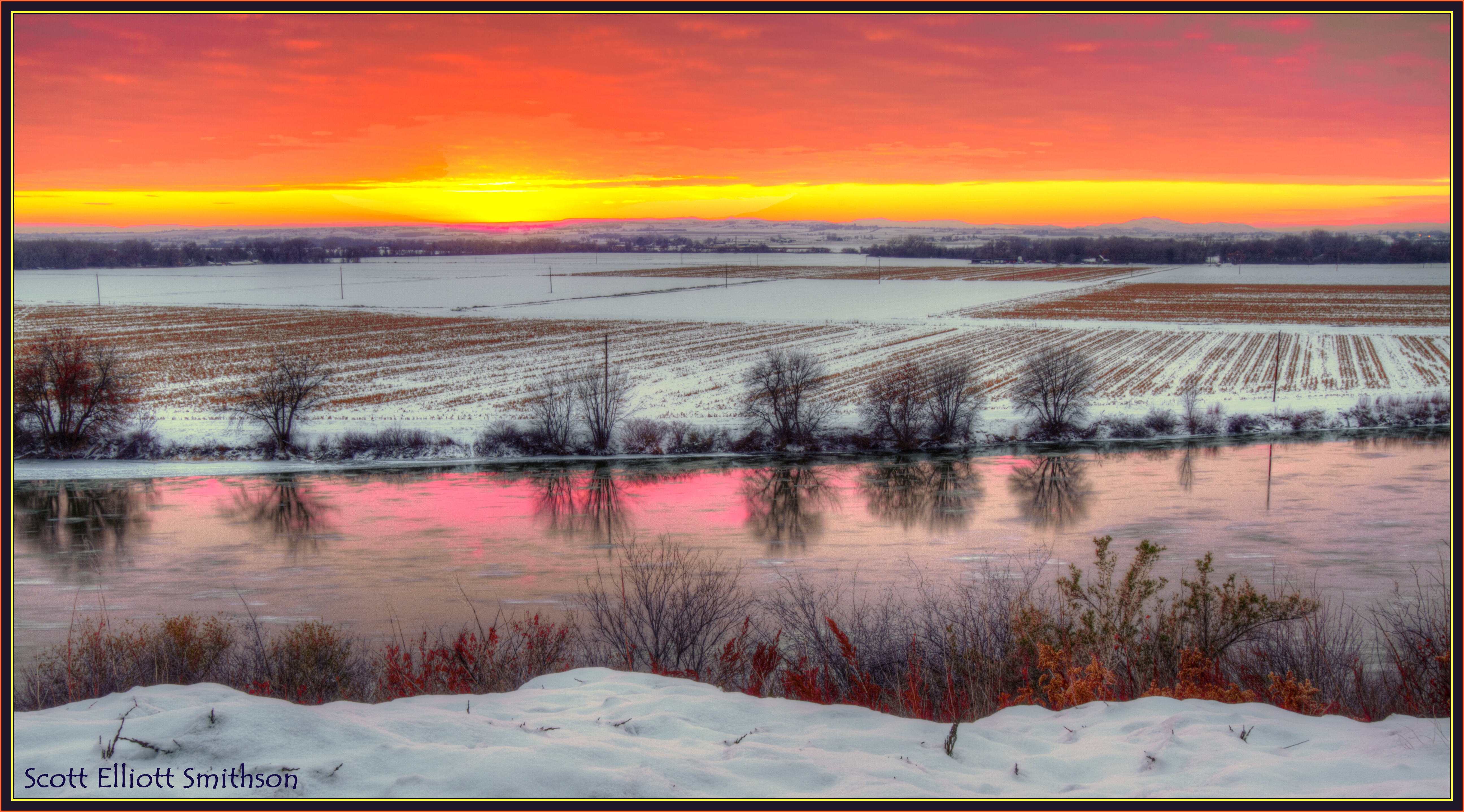
Snake River Winter Sunset
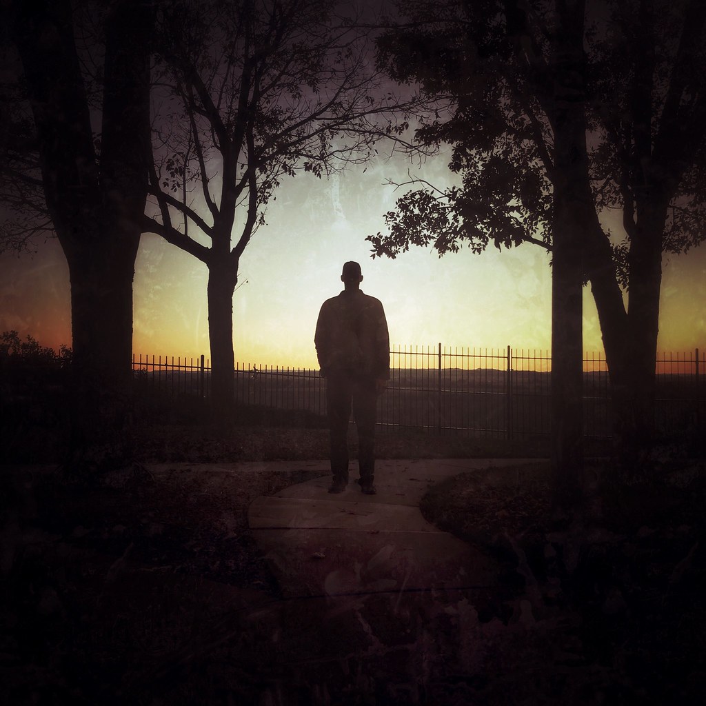
Sunset Silhouette
Sunrise in Ontario OR #SEAtoTUS
The Spark
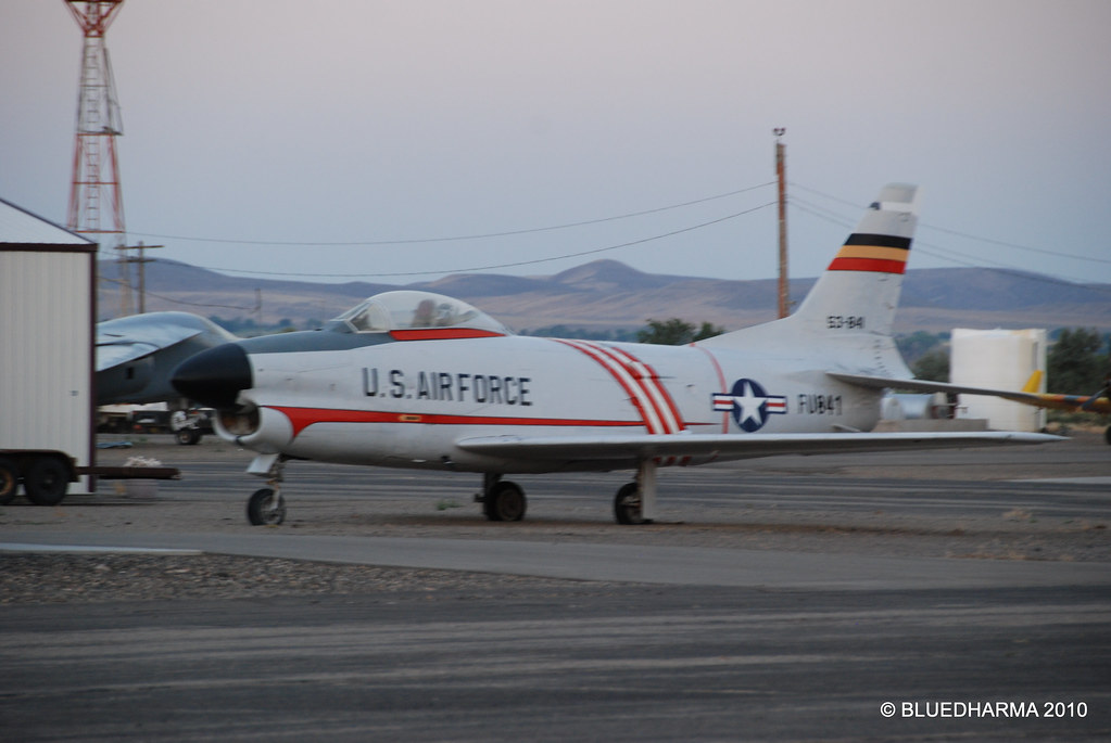
North American F-86D-60-NA Sabre
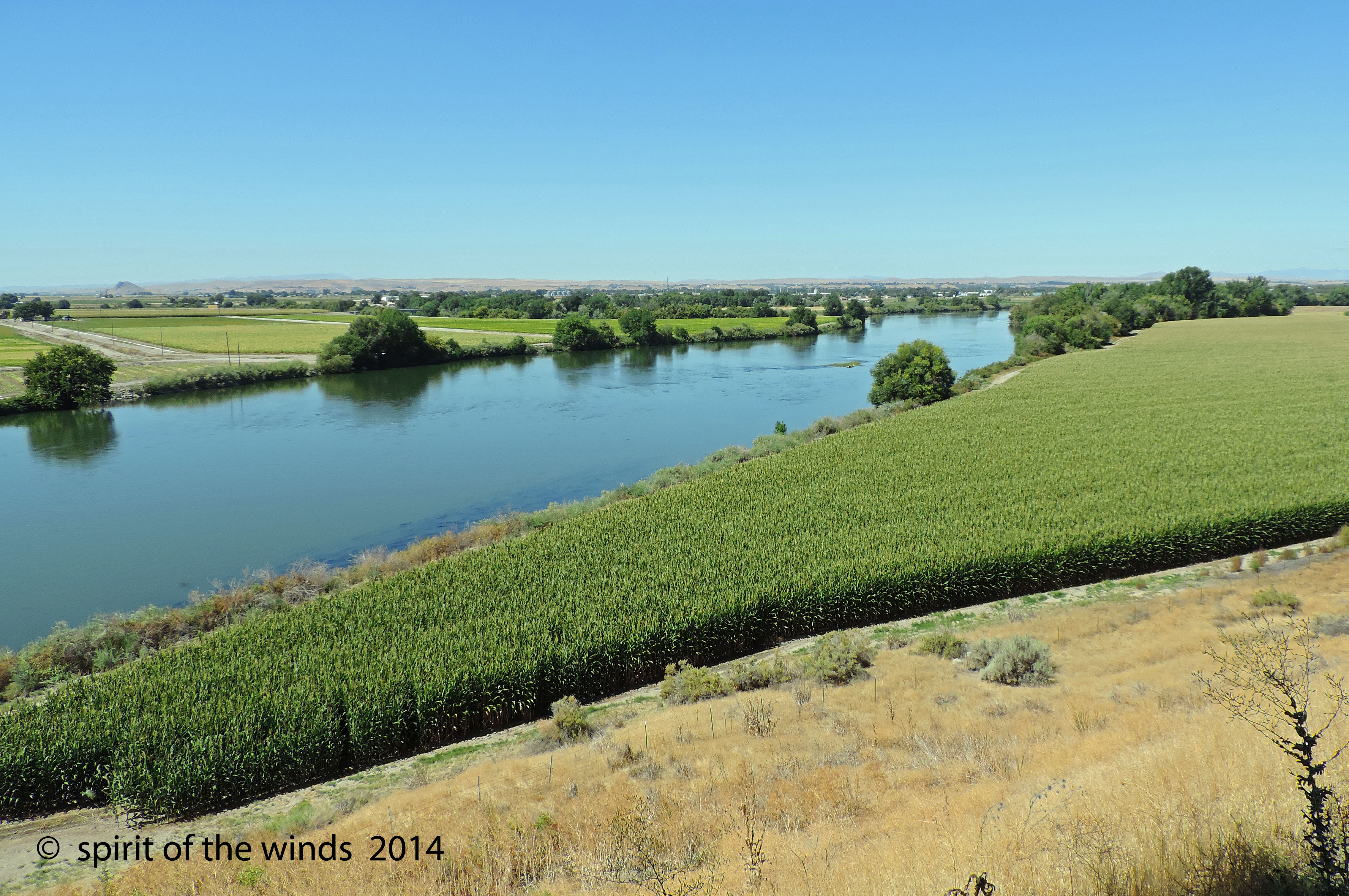
The Snake River
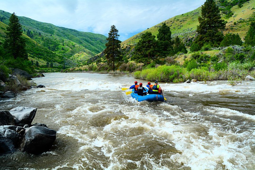
What a view to white water raft in...
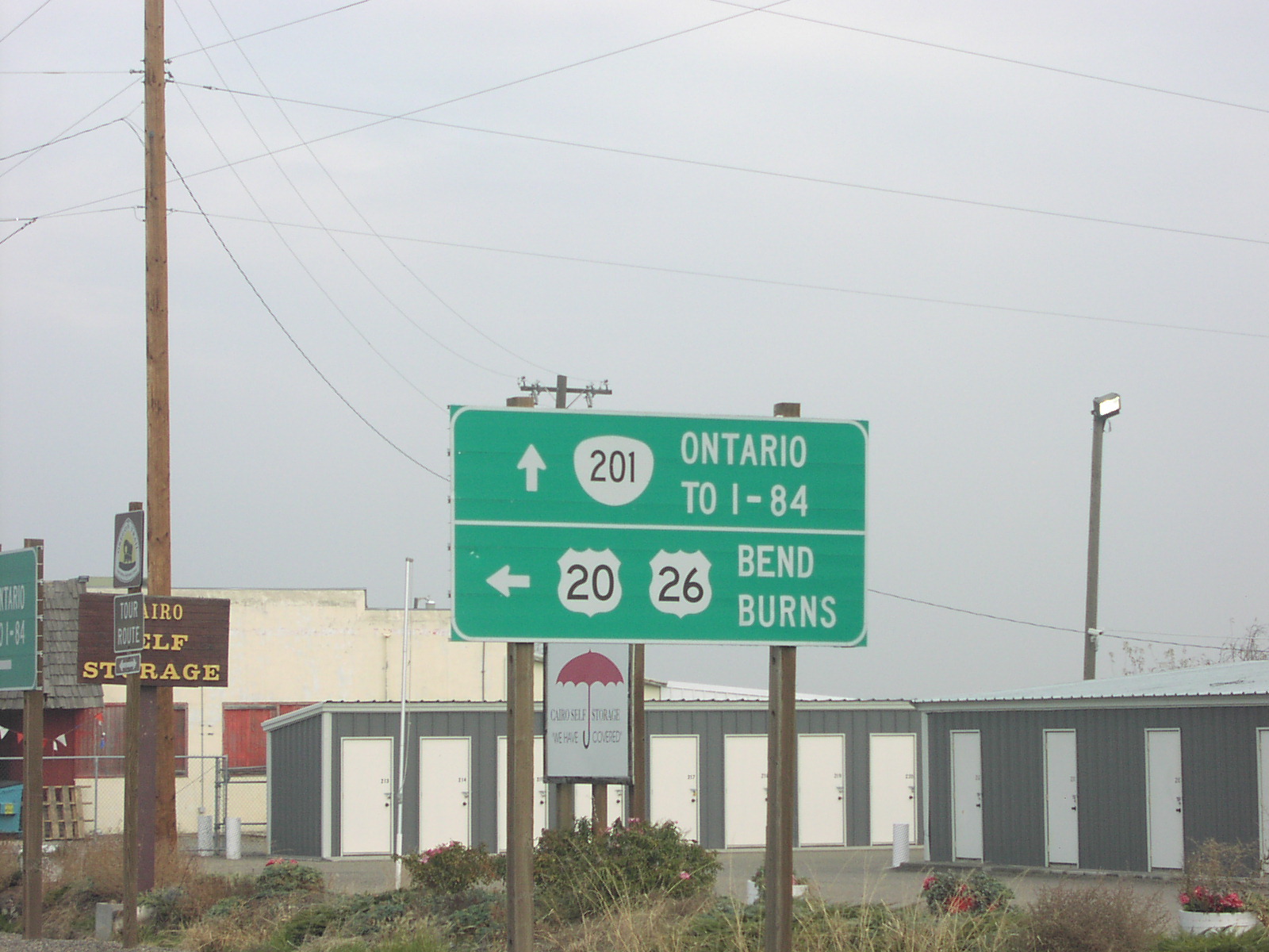
OR-201 North at US-20/US-26
Runnin Bare #0855: Annie Oakley & Old Doc - New Plymouth, Idaho
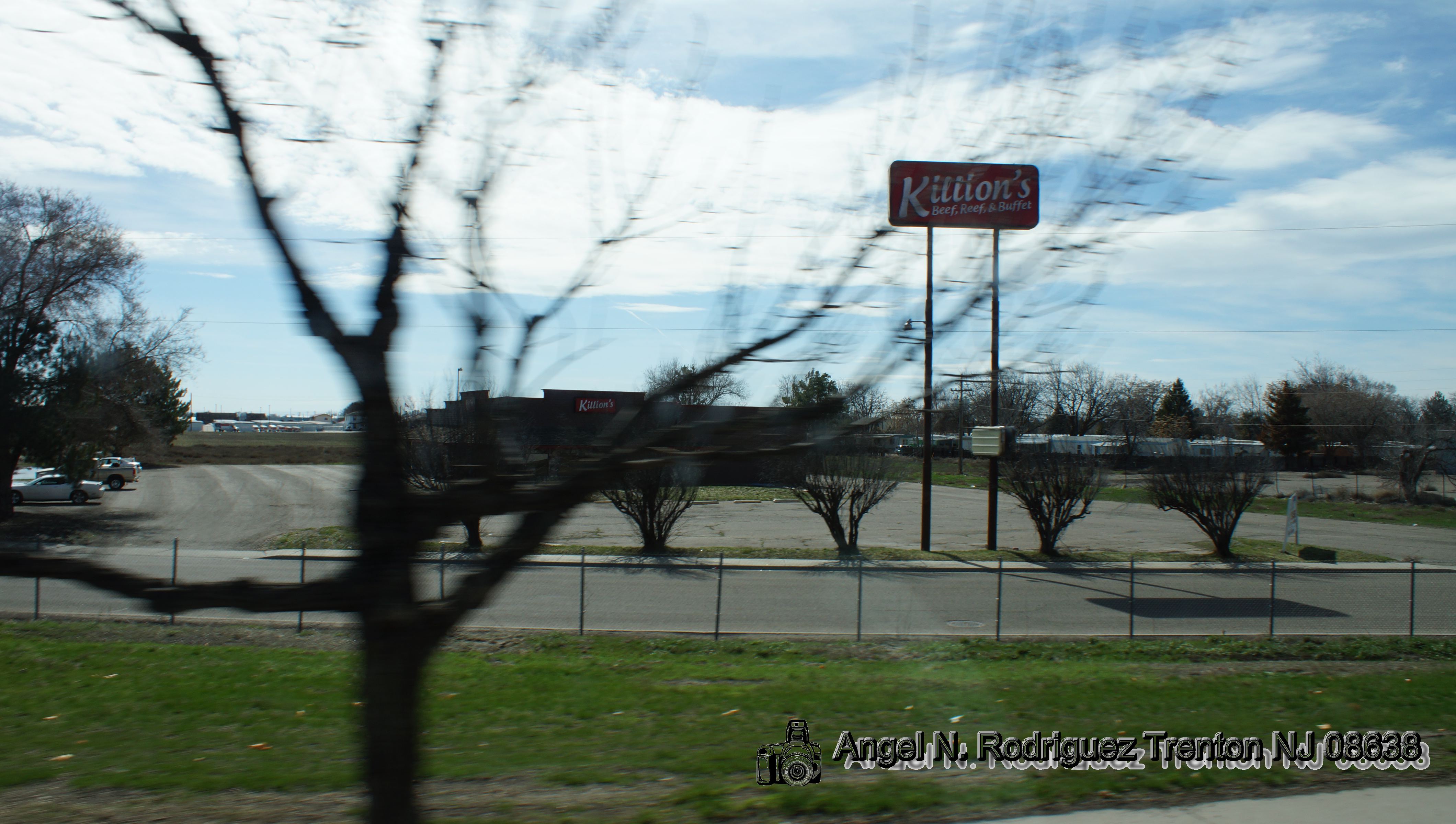
Pilot service station
Old cannon in Payette , couldn't see any markings on barrel , but it did have a touch hole! (2)
OSP stop near Ontario (4)
Illinois, Iowa, Nebreaska
Illinois, Iowa, Nebreaska
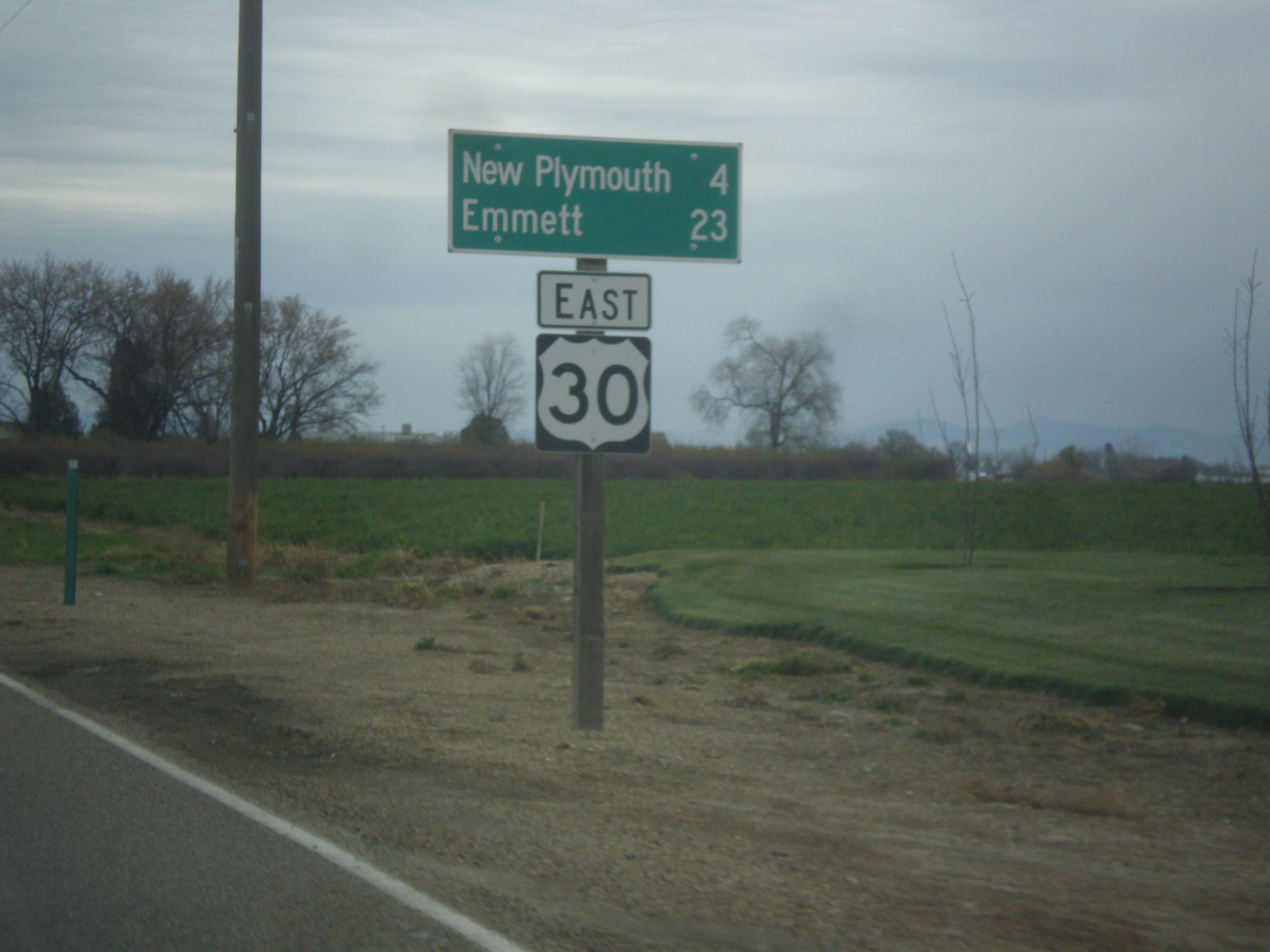
US-30 East - Distance Marker
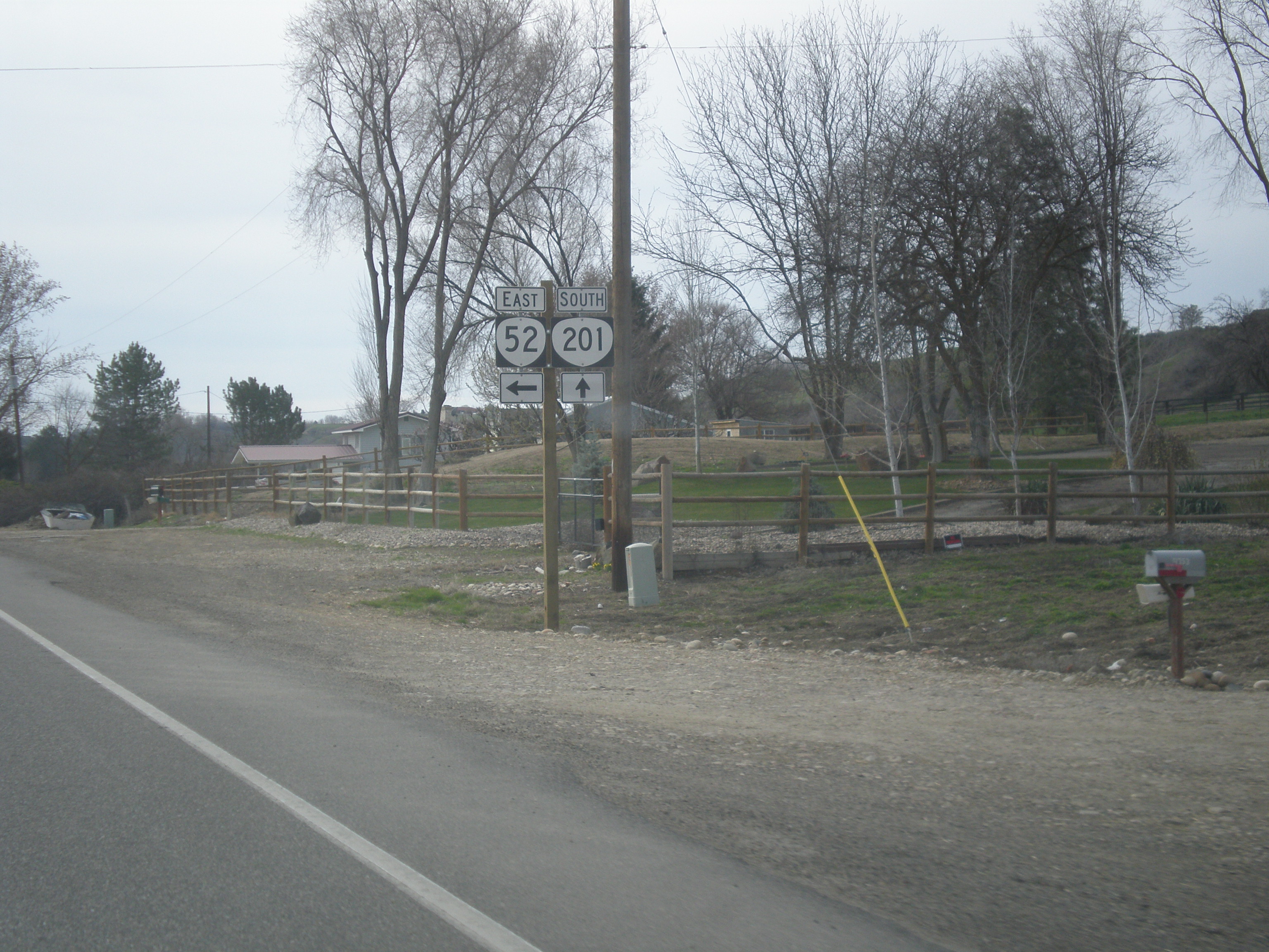
OR-201 South at OR-52
Crates of Onions
Malheur River Valley (Malheur County, Oregon)
Ontario Oregon
Sports Fans Will Know
Bi-Mart
4H sheep judging

East Idaho Ave. at Oregon St. North - Bus. US-30 Jct.
2018-09-10 11.13.04
Snake River
Payette County Sgeriff finishing up a stop (2)
UP 1834 (with bonus pole!)
NW 11th St, Ontario, OR, USA Map
Search another place
Near Places
57 NW 16th St, Ontario, OR, USA
Idaho Elks Hearing and Balance Center: Ontario, SW 4th Ave, Ontario, OR, USA
Ontario, OR, USA
SW 2nd St, Ontario, OR, USA
Southeast 1st Avenue, SE 1st Ave, Ontario, OR, USA
Ontario Heights Rd, Ontario, OR, USA
Payette, ID, USA
N 6th St, Payette, ID, USA
Hyline Rd, Ontario, OR, USA
NW 16th St, Fruitland, ID, USA
Spring Creek Ln, Fruitland, ID, USA
W 1st St, Fruitland, ID, USA
Manser Dr, Payette, ID, USA
SW 4th St, Fruitland, ID, USA
Fruitland, ID, USA
River Rd, Payette, ID, USA
Southwest Avenue, Southwest Ave, New Plymouth, ID, USA
Elm St, New Plymouth, ID, USA
New Plymouth, ID, USA
Payette County, ID, USA
Recent Searches
- Sunrise Sunset Times of Red Dog Mine, AK, USA
- Sunrise Sunset Times of Am Bahnhof, Am bhf, Borken, Germany
- Sunrise Sunset Times of 4th St E, Sonoma, CA, USA
- Sunrise Sunset Times of Oakland Ave, Williamsport, PA, USA
- Sunrise Sunset Times of Via Roma, Pieranica CR, Italy
- Sunrise Sunset Times of Clock Tower of Dubrovnik, Grad, Dubrovnik, Croatia
- Sunrise Sunset Times of Trelew, Chubut Province, Argentina
- Sunrise Sunset Times of Hartfords Bluff Cir, Mt Pleasant, SC, USA
- Sunrise Sunset Times of Kita Ward, Kumamoto, Japan
- Sunrise Sunset Times of Pingtan Island, Pingtan County, Fuzhou, China