NW 11th St, Ontario, OR アメリカ合衆国日の出日の入り時間
Location: アメリカ合衆国 > オレゴン州 > マルヒュア > アメリカ合衆国 〒 オレゴン州 オンタリオ >
時間帯:
America/Denver
現地時間:
2025-06-19 08:01:30
経度:
-116.9790899
緯度:
44.0484164
今日の日の出時刻:
06:04:38 AM
今日の日の入時刻:
09:34:17 PM
今日の日長:
15h 29m 39s
明日の日の出時刻:
06:04:50 AM
明日の日の入時刻:
09:34:32 PM
明日の日長:
15h 29m 42s
すべて表示する
| 日付 | 日出 | 日没 | 日長 |
|---|---|---|---|
| 2025年01月01日 | 08:22:43 AM | 05:21:30 PM | 8h 58m 47s |
| 2025年01月02日 | 08:22:42 AM | 05:22:27 PM | 8h 59m 45s |
| 2025年01月03日 | 08:22:38 AM | 05:23:25 PM | 9h 0m 47s |
| 2025年01月04日 | 08:22:32 AM | 05:24:25 PM | 9h 1m 53s |
| 2025年01月05日 | 08:22:23 AM | 05:25:27 PM | 9h 3m 4s |
| 2025年01月06日 | 08:22:11 AM | 05:26:30 PM | 9h 4m 19s |
| 2025年01月07日 | 08:21:57 AM | 05:27:34 PM | 9h 5m 37s |
| 2025年01月08日 | 08:21:40 AM | 05:28:40 PM | 9h 7m 0s |
| 2025年01月09日 | 08:21:21 AM | 05:29:48 PM | 9h 8m 27s |
| 2025年01月10日 | 08:21:00 AM | 05:30:57 PM | 9h 9m 57s |
| 2025年01月11日 | 08:20:36 AM | 05:32:07 PM | 9h 11m 31s |
| 2025年01月12日 | 08:20:10 AM | 05:33:18 PM | 9h 13m 8s |
| 2025年01月13日 | 08:19:41 AM | 05:34:30 PM | 9h 14m 49s |
| 2025年01月14日 | 08:19:10 AM | 05:35:43 PM | 9h 16m 33s |
| 2025年01月15日 | 08:18:36 AM | 05:36:58 PM | 9h 18m 22s |
| 2025年01月16日 | 08:18:00 AM | 05:38:13 PM | 9h 20m 13s |
| 2025年01月17日 | 08:17:22 AM | 05:39:29 PM | 9h 22m 7s |
| 2025年01月18日 | 08:16:42 AM | 05:40:46 PM | 9h 24m 4s |
| 2025年01月19日 | 08:15:59 AM | 05:42:04 PM | 9h 26m 5s |
| 2025年01月20日 | 08:15:14 AM | 05:43:22 PM | 9h 28m 8s |
| 2025年01月21日 | 08:14:27 AM | 05:44:41 PM | 9h 30m 14s |
| 2025年01月22日 | 08:13:38 AM | 05:46:01 PM | 9h 32m 23s |
| 2025年01月23日 | 08:12:47 AM | 05:47:21 PM | 9h 34m 34s |
| 2025年01月24日 | 08:11:53 AM | 05:48:42 PM | 9h 36m 49s |
| 2025年01月25日 | 08:10:58 AM | 05:50:03 PM | 9h 39m 5s |
| 2025年01月26日 | 08:10:00 AM | 05:51:25 PM | 9h 41m 25s |
| 2025年01月27日 | 08:09:01 AM | 05:52:47 PM | 9h 43m 46s |
| 2025年01月28日 | 08:08:00 AM | 05:54:09 PM | 9h 46m 9s |
| 2025年01月29日 | 08:06:56 AM | 05:55:31 PM | 9h 48m 35s |
| 2025年01月30日 | 08:05:51 AM | 05:56:54 PM | 9h 51m 3s |
| 2025年01月31日 | 08:04:44 AM | 05:58:17 PM | 9h 53m 33s |
| 2025年02月01日 | 08:03:36 AM | 05:59:40 PM | 9h 56m 4s |
| 2025年02月02日 | 08:02:25 AM | 06:01:03 PM | 9h 58m 38s |
| 2025年02月03日 | 08:01:13 AM | 06:02:26 PM | 10h 1m 13s |
| 2025年02月04日 | 08:00:00 AM | 06:03:49 PM | 10h 3m 49s |
| 2025年02月05日 | 07:58:44 AM | 06:05:13 PM | 10h 6m 29s |
| 2025年02月06日 | 07:57:27 AM | 06:06:36 PM | 10h 9m 9s |
| 2025年02月07日 | 07:56:09 AM | 06:07:59 PM | 10h 11m 50s |
| 2025年02月08日 | 07:54:49 AM | 06:09:22 PM | 10h 14m 33s |
| 2025年02月09日 | 07:53:27 AM | 06:10:45 PM | 10h 17m 18s |
| 2025年02月10日 | 07:52:05 AM | 06:12:08 PM | 10h 20m 3s |
| 2025年02月11日 | 07:50:41 AM | 06:13:30 PM | 10h 22m 49s |
| 2025年02月12日 | 07:49:15 AM | 06:14:53 PM | 10h 25m 38s |
| 2025年02月13日 | 07:47:48 AM | 06:16:15 PM | 10h 28m 27s |
| 2025年02月14日 | 07:46:20 AM | 06:17:37 PM | 10h 31m 17s |
| 2025年02月15日 | 07:44:51 AM | 06:18:59 PM | 10h 34m 8s |
| 2025年02月16日 | 07:43:20 AM | 06:20:21 PM | 10h 37m 1s |
| 2025年02月17日 | 07:41:49 AM | 06:21:43 PM | 10h 39m 54s |
| 2025年02月18日 | 07:40:16 AM | 06:23:04 PM | 10h 42m 48s |
| 2025年02月19日 | 07:38:42 AM | 06:24:25 PM | 10h 45m 43s |
| 2025年02月20日 | 07:37:08 AM | 06:25:45 PM | 10h 48m 37s |
| 2025年02月21日 | 07:35:32 AM | 06:27:06 PM | 10h 51m 34s |
| 2025年02月22日 | 07:33:55 AM | 06:28:26 PM | 10h 54m 31s |
| 2025年02月23日 | 07:32:17 AM | 06:29:46 PM | 10h 57m 29s |
| 2025年02月24日 | 07:30:39 AM | 06:31:05 PM | 11h 0m 26s |
| 2025年02月25日 | 07:28:59 AM | 06:32:25 PM | 11h 3m 26s |
| 2025年02月26日 | 07:27:19 AM | 06:33:44 PM | 11h 6m 25s |
| 2025年02月27日 | 07:25:38 AM | 06:35:02 PM | 11h 9m 24s |
| 2025年02月28日 | 07:23:57 AM | 06:36:21 PM | 11h 12m 24s |
| 2025年03月01日 | 07:22:14 AM | 06:37:39 PM | 11h 15m 25s |
| 2025年03月02日 | 07:20:31 AM | 06:38:57 PM | 11h 18m 26s |
| 2025年03月03日 | 07:18:47 AM | 06:40:14 PM | 11h 21m 27s |
| 2025年03月04日 | 07:17:03 AM | 06:41:32 PM | 11h 24m 29s |
| 2025年03月05日 | 07:15:18 AM | 06:42:49 PM | 11h 27m 31s |
| 2025年03月06日 | 07:13:33 AM | 06:44:06 PM | 11h 30m 33s |
| 2025年03月07日 | 07:11:47 AM | 06:45:22 PM | 11h 33m 35s |
| 2025年03月08日 | 07:10:00 AM | 06:46:38 PM | 11h 36m 38s |
| 2025年03月09日 | 08:08:18 AM | 07:47:51 PM | 11h 39m 33s |
| 2025年03月10日 | 08:06:31 AM | 07:49:07 PM | 11h 42m 36s |
| 2025年03月11日 | 08:04:43 AM | 07:50:22 PM | 11h 45m 39s |
| 2025年03月12日 | 08:02:55 AM | 07:51:38 PM | 11h 48m 43s |
| 2025年03月13日 | 08:01:07 AM | 07:52:53 PM | 11h 51m 46s |
| 2025年03月14日 | 07:59:18 AM | 07:54:08 PM | 11h 54m 50s |
| 2025年03月15日 | 07:57:30 AM | 07:55:23 PM | 11h 57m 53s |
| 2025年03月16日 | 07:55:41 AM | 07:56:37 PM | 12h 0m 56s |
| 2025年03月17日 | 07:53:51 AM | 07:57:52 PM | 12h 4m 1s |
| 2025年03月18日 | 07:52:02 AM | 07:59:06 PM | 12h 7m 4s |
| 2025年03月19日 | 07:50:13 AM | 08:00:20 PM | 12h 10m 7s |
| 2025年03月20日 | 07:48:23 AM | 08:01:34 PM | 12h 13m 11s |
| 2025年03月21日 | 07:46:34 AM | 08:02:47 PM | 12h 16m 13s |
| 2025年03月22日 | 07:44:44 AM | 08:04:01 PM | 12h 19m 17s |
| 2025年03月23日 | 07:42:54 AM | 08:05:15 PM | 12h 22m 21s |
| 2025年03月24日 | 07:41:05 AM | 08:06:28 PM | 12h 25m 23s |
| 2025年03月25日 | 07:39:15 AM | 08:07:41 PM | 12h 28m 26s |
| 2025年03月26日 | 07:37:26 AM | 08:08:55 PM | 12h 31m 29s |
| 2025年03月27日 | 07:35:36 AM | 08:10:08 PM | 12h 34m 32s |
| 2025年03月28日 | 07:33:47 AM | 08:11:21 PM | 12h 37m 34s |
| 2025年03月29日 | 07:31:58 AM | 08:12:34 PM | 12h 40m 36s |
| 2025年03月30日 | 07:30:09 AM | 08:13:47 PM | 12h 43m 38s |
| 2025年03月31日 | 07:28:21 AM | 08:15:00 PM | 12h 46m 39s |
| 2025年04月01日 | 07:26:33 AM | 08:16:13 PM | 12h 49m 40s |
| 2025年04月02日 | 07:24:45 AM | 08:17:25 PM | 12h 52m 40s |
| 2025年04月03日 | 07:22:57 AM | 08:18:38 PM | 12h 55m 41s |
| 2025年04月04日 | 07:21:10 AM | 08:19:51 PM | 12h 58m 41s |
| 2025年04月05日 | 07:19:23 AM | 08:21:04 PM | 13h 1m 41s |
| 2025年04月06日 | 07:17:37 AM | 08:22:17 PM | 13h 4m 40s |
| 2025年04月07日 | 07:15:51 AM | 08:23:29 PM | 13h 7m 38s |
| 2025年04月08日 | 07:14:06 AM | 08:24:42 PM | 13h 10m 36s |
| 2025年04月09日 | 07:12:21 AM | 08:25:55 PM | 13h 13m 34s |
| 2025年04月10日 | 07:10:36 AM | 08:27:08 PM | 13h 16m 32s |
| 2025年04月11日 | 07:08:53 AM | 08:28:20 PM | 13h 19m 27s |
| 2025年04月12日 | 07:07:10 AM | 08:29:33 PM | 13h 22m 23s |
| 2025年04月13日 | 07:05:27 AM | 08:30:46 PM | 13h 25m 19s |
| 2025年04月14日 | 07:03:45 AM | 08:31:59 PM | 13h 28m 14s |
| 2025年04月15日 | 07:02:04 AM | 08:33:11 PM | 13h 31m 7s |
| 2025年04月16日 | 07:00:24 AM | 08:34:24 PM | 13h 34m 0s |
| 2025年04月17日 | 06:58:45 AM | 08:35:37 PM | 13h 36m 52s |
| 2025年04月18日 | 06:57:06 AM | 08:36:49 PM | 13h 39m 43s |
| 2025年04月19日 | 06:55:28 AM | 08:38:02 PM | 13h 42m 34s |
| 2025年04月20日 | 06:53:52 AM | 08:39:15 PM | 13h 45m 23s |
| 2025年04月21日 | 06:52:16 AM | 08:40:27 PM | 13h 48m 11s |
| 2025年04月22日 | 06:50:41 AM | 08:41:40 PM | 13h 50m 59s |
| 2025年04月23日 | 06:49:07 AM | 08:42:53 PM | 13h 53m 46s |
| 2025年04月24日 | 06:47:34 AM | 08:44:05 PM | 13h 56m 31s |
| 2025年04月25日 | 06:46:02 AM | 08:45:17 PM | 13h 59m 15s |
| 2025年04月26日 | 06:44:31 AM | 08:46:30 PM | 14h 1m 59s |
| 2025年04月27日 | 06:43:02 AM | 08:47:42 PM | 14h 4m 40s |
| 2025年04月28日 | 06:41:33 AM | 08:48:54 PM | 14h 7m 21s |
| 2025年04月29日 | 06:40:06 AM | 08:50:06 PM | 14h 10m 0s |
| 2025年04月30日 | 06:38:40 AM | 08:51:17 PM | 14h 12m 37s |
| 2025年05月01日 | 06:37:15 AM | 08:52:29 PM | 14h 15m 14s |
| 2025年05月02日 | 06:35:52 AM | 08:53:40 PM | 14h 17m 48s |
| 2025年05月03日 | 06:34:30 AM | 08:54:51 PM | 14h 20m 21s |
| 2025年05月04日 | 06:33:09 AM | 08:56:02 PM | 14h 22m 53s |
| 2025年05月05日 | 06:31:50 AM | 08:57:12 PM | 14h 25m 22s |
| 2025年05月06日 | 06:30:32 AM | 08:58:22 PM | 14h 27m 50s |
| 2025年05月07日 | 06:29:15 AM | 08:59:32 PM | 14h 30m 17s |
| 2025年05月08日 | 06:28:01 AM | 09:00:41 PM | 14h 32m 40s |
| 2025年05月09日 | 06:26:47 AM | 09:01:50 PM | 14h 35m 3s |
| 2025年05月10日 | 06:25:36 AM | 09:02:59 PM | 14h 37m 23s |
| 2025年05月11日 | 06:24:26 AM | 09:04:07 PM | 14h 39m 41s |
| 2025年05月12日 | 06:23:17 AM | 09:05:15 PM | 14h 41m 58s |
| 2025年05月13日 | 06:22:11 AM | 09:06:21 PM | 14h 44m 10s |
| 2025年05月14日 | 06:21:06 AM | 09:07:28 PM | 14h 46m 22s |
| 2025年05月15日 | 06:20:02 AM | 09:08:34 PM | 14h 48m 32s |
| 2025年05月16日 | 06:19:01 AM | 09:09:39 PM | 14h 50m 38s |
| 2025年05月17日 | 06:18:01 AM | 09:10:43 PM | 14h 52m 42s |
| 2025年05月18日 | 06:17:04 AM | 09:11:47 PM | 14h 54m 43s |
| 2025年05月19日 | 06:16:08 AM | 09:12:50 PM | 14h 56m 42s |
| 2025年05月20日 | 06:15:14 AM | 09:13:51 PM | 14h 58m 37s |
| 2025年05月21日 | 06:14:22 AM | 09:14:53 PM | 15h 0m 31s |
| 2025年05月22日 | 06:13:32 AM | 09:15:53 PM | 15h 2m 21s |
| 2025年05月23日 | 06:12:44 AM | 09:16:52 PM | 15h 4m 8s |
| 2025年05月24日 | 06:11:58 AM | 09:17:50 PM | 15h 5m 52s |
| 2025年05月25日 | 06:11:14 AM | 09:18:47 PM | 15h 7m 33s |
| 2025年05月26日 | 06:10:32 AM | 09:19:43 PM | 15h 9m 11s |
| 2025年05月27日 | 06:09:52 AM | 09:20:38 PM | 15h 10m 46s |
| 2025年05月28日 | 06:09:15 AM | 09:21:31 PM | 15h 12m 16s |
| 2025年05月29日 | 06:08:39 AM | 09:22:24 PM | 15h 13m 45s |
| 2025年05月30日 | 06:08:06 AM | 09:23:14 PM | 15h 15m 8s |
| 2025年05月31日 | 06:07:35 AM | 09:24:04 PM | 15h 16m 29s |
| 2025年06月01日 | 06:07:06 AM | 09:24:52 PM | 15h 17m 46s |
| 2025年06月02日 | 06:06:39 AM | 09:25:39 PM | 15h 19m 0s |
| 2025年06月03日 | 06:06:14 AM | 09:26:24 PM | 15h 20m 10s |
| 2025年06月04日 | 06:05:52 AM | 09:27:08 PM | 15h 21m 16s |
| 2025年06月05日 | 06:05:32 AM | 09:27:50 PM | 15h 22m 18s |
| 2025年06月06日 | 06:05:14 AM | 09:28:30 PM | 15h 23m 16s |
| 2025年06月07日 | 06:04:58 AM | 09:29:09 PM | 15h 24m 11s |
| 2025年06月08日 | 06:04:45 AM | 09:29:46 PM | 15h 25m 1s |
| 2025年06月09日 | 06:04:34 AM | 09:30:21 PM | 15h 25m 47s |
| 2025年06月10日 | 06:04:25 AM | 09:30:54 PM | 15h 26m 29s |
| 2025年06月11日 | 06:04:18 AM | 09:31:26 PM | 15h 27m 8s |
| 2025年06月12日 | 06:04:14 AM | 09:31:55 PM | 15h 27m 41s |
| 2025年06月13日 | 06:04:11 AM | 09:32:23 PM | 15h 28m 12s |
| 2025年06月14日 | 06:04:12 AM | 09:32:48 PM | 15h 28m 36s |
| 2025年06月15日 | 06:04:14 AM | 09:33:12 PM | 15h 28m 58s |
| 2025年06月16日 | 06:04:18 AM | 09:33:34 PM | 15h 29m 16s |
| 2025年06月17日 | 06:04:25 AM | 09:33:53 PM | 15h 29m 28s |
| 2025年06月18日 | 06:04:34 AM | 09:34:11 PM | 15h 29m 37s |
| 2025年06月19日 | 06:04:44 AM | 09:34:26 PM | 15h 29m 42s |
| 2025年06月20日 | 06:04:57 AM | 09:34:39 PM | 15h 29m 42s |
| 2025年06月21日 | 06:05:13 AM | 09:34:50 PM | 15h 29m 37s |
| 2025年06月22日 | 06:05:30 AM | 09:34:59 PM | 15h 29m 29s |
| 2025年06月23日 | 06:05:49 AM | 09:35:05 PM | 15h 29m 16s |
| 2025年06月24日 | 06:06:10 AM | 09:35:09 PM | 15h 28m 59s |
| 2025年06月25日 | 06:06:33 AM | 09:35:11 PM | 15h 28m 38s |
| 2025年06月26日 | 06:06:58 AM | 09:35:11 PM | 15h 28m 13s |
| 2025年06月27日 | 06:07:25 AM | 09:35:09 PM | 15h 27m 44s |
| 2025年06月28日 | 06:07:54 AM | 09:35:04 PM | 15h 27m 10s |
| 2025年06月29日 | 06:08:25 AM | 09:34:57 PM | 15h 26m 32s |
| 2025年06月30日 | 06:08:58 AM | 09:34:48 PM | 15h 25m 50s |
| 2025年07月01日 | 06:09:32 AM | 09:34:36 PM | 15h 25m 4s |
| 2025年07月02日 | 06:10:08 AM | 09:34:22 PM | 15h 24m 14s |
| 2025年07月03日 | 06:10:45 AM | 09:34:06 PM | 15h 23m 21s |
| 2025年07月04日 | 06:11:25 AM | 09:33:47 PM | 15h 22m 22s |
| 2025年07月05日 | 06:12:06 AM | 09:33:27 PM | 15h 21m 21s |
| 2025年07月06日 | 06:12:48 AM | 09:33:03 PM | 15h 20m 15s |
| 2025年07月07日 | 06:13:32 AM | 09:32:38 PM | 15h 19m 6s |
| 2025年07月08日 | 06:14:17 AM | 09:32:11 PM | 15h 17m 54s |
| 2025年07月09日 | 06:15:04 AM | 09:31:41 PM | 15h 16m 37s |
| 2025年07月10日 | 06:15:52 AM | 09:31:09 PM | 15h 15m 17s |
| 2025年07月11日 | 06:16:41 AM | 09:30:35 PM | 15h 13m 54s |
| 2025年07月12日 | 06:17:31 AM | 09:29:58 PM | 15h 12m 27s |
| 2025年07月13日 | 06:18:23 AM | 09:29:20 PM | 15h 10m 57s |
| 2025年07月14日 | 06:19:16 AM | 09:28:39 PM | 15h 9m 23s |
| 2025年07月15日 | 06:20:10 AM | 09:27:56 PM | 15h 7m 46s |
| 2025年07月16日 | 06:21:05 AM | 09:27:11 PM | 15h 6m 6s |
| 2025年07月17日 | 06:22:01 AM | 09:26:24 PM | 15h 4m 23s |
| 2025年07月18日 | 06:22:58 AM | 09:25:35 PM | 15h 2m 37s |
| 2025年07月19日 | 06:23:56 AM | 09:24:44 PM | 15h 0m 48s |
| 2025年07月20日 | 06:24:54 AM | 09:23:51 PM | 14h 58m 57s |
| 2025年07月21日 | 06:25:54 AM | 09:22:56 PM | 14h 57m 2s |
| 2025年07月22日 | 06:26:54 AM | 09:21:59 PM | 14h 55m 5s |
| 2025年07月23日 | 06:27:55 AM | 09:21:00 PM | 14h 53m 5s |
| 2025年07月24日 | 06:28:57 AM | 09:20:00 PM | 14h 51m 3s |
| 2025年07月25日 | 06:29:59 AM | 09:18:57 PM | 14h 48m 58s |
| 2025年07月26日 | 06:31:02 AM | 09:17:53 PM | 14h 46m 51s |
| 2025年07月27日 | 06:32:06 AM | 09:16:47 PM | 14h 44m 41s |
| 2025年07月28日 | 06:33:10 AM | 09:15:39 PM | 14h 42m 29s |
| 2025年07月29日 | 06:34:14 AM | 09:14:29 PM | 14h 40m 15s |
| 2025年07月30日 | 06:35:19 AM | 09:13:18 PM | 14h 37m 59s |
| 2025年07月31日 | 06:36:25 AM | 09:12:05 PM | 14h 35m 40s |
| 2025年08月01日 | 06:37:31 AM | 09:10:51 PM | 14h 33m 20s |
| 2025年08月02日 | 06:38:37 AM | 09:09:35 PM | 14h 30m 58s |
| 2025年08月03日 | 06:39:43 AM | 09:08:17 PM | 14h 28m 34s |
| 2025年08月04日 | 06:40:50 AM | 09:06:58 PM | 14h 26m 8s |
| 2025年08月05日 | 06:41:57 AM | 09:05:37 PM | 14h 23m 40s |
| 2025年08月06日 | 06:43:04 AM | 09:04:15 PM | 14h 21m 11s |
| 2025年08月07日 | 06:44:12 AM | 09:02:52 PM | 14h 18m 40s |
| 2025年08月08日 | 06:45:20 AM | 09:01:27 PM | 14h 16m 7s |
| 2025年08月09日 | 06:46:27 AM | 09:00:01 PM | 14h 13m 34s |
| 2025年08月10日 | 06:47:35 AM | 08:58:34 PM | 14h 10m 59s |
| 2025年08月11日 | 06:48:44 AM | 08:57:05 PM | 14h 8m 21s |
| 2025年08月12日 | 06:49:52 AM | 08:55:36 PM | 14h 5m 44s |
| 2025年08月13日 | 06:51:00 AM | 08:54:05 PM | 14h 3m 5s |
| 2025年08月14日 | 06:52:09 AM | 08:52:33 PM | 14h 0m 24s |
| 2025年08月15日 | 06:53:17 AM | 08:50:59 PM | 13h 57m 42s |
| 2025年08月16日 | 06:54:26 AM | 08:49:25 PM | 13h 54m 59s |
| 2025年08月17日 | 06:55:34 AM | 08:47:50 PM | 13h 52m 16s |
| 2025年08月18日 | 06:56:43 AM | 08:46:13 PM | 13h 49m 30s |
| 2025年08月19日 | 06:57:51 AM | 08:44:36 PM | 13h 46m 45s |
| 2025年08月20日 | 06:59:00 AM | 08:42:58 PM | 13h 43m 58s |
| 2025年08月21日 | 07:00:08 AM | 08:41:19 PM | 13h 41m 11s |
| 2025年08月22日 | 07:01:17 AM | 08:39:39 PM | 13h 38m 22s |
| 2025年08月23日 | 07:02:25 AM | 08:37:58 PM | 13h 35m 33s |
| 2025年08月24日 | 07:03:34 AM | 08:36:16 PM | 13h 32m 42s |
| 2025年08月25日 | 07:04:42 AM | 08:34:34 PM | 13h 29m 52s |
| 2025年08月26日 | 07:05:51 AM | 08:32:51 PM | 13h 27m 0s |
| 2025年08月27日 | 07:06:59 AM | 08:31:07 PM | 13h 24m 8s |
| 2025年08月28日 | 07:08:08 AM | 08:29:22 PM | 13h 21m 14s |
| 2025年08月29日 | 07:09:16 AM | 08:27:37 PM | 13h 18m 21s |
| 2025年08月30日 | 07:10:24 AM | 08:25:51 PM | 13h 15m 27s |
| 2025年08月31日 | 07:11:33 AM | 08:24:05 PM | 13h 12m 32s |
| 2025年09月01日 | 07:12:41 AM | 08:22:18 PM | 13h 9m 37s |
| 2025年09月02日 | 07:13:49 AM | 08:20:30 PM | 13h 6m 41s |
| 2025年09月03日 | 07:14:57 AM | 08:18:42 PM | 13h 3m 45s |
| 2025年09月04日 | 07:16:06 AM | 08:16:54 PM | 13h 0m 48s |
| 2025年09月05日 | 07:17:14 AM | 08:15:05 PM | 12h 57m 51s |
| 2025年09月06日 | 07:18:22 AM | 08:13:16 PM | 12h 54m 54s |
| 2025年09月07日 | 07:19:30 AM | 08:11:26 PM | 12h 51m 56s |
| 2025年09月08日 | 07:20:38 AM | 08:09:36 PM | 12h 48m 58s |
| 2025年09月09日 | 07:21:47 AM | 08:07:46 PM | 12h 45m 59s |
| 2025年09月10日 | 07:22:55 AM | 08:05:56 PM | 12h 43m 1s |
| 2025年09月11日 | 07:24:03 AM | 08:04:05 PM | 12h 40m 2s |
| 2025年09月12日 | 07:25:12 AM | 08:02:14 PM | 12h 37m 2s |
| 2025年09月13日 | 07:26:20 AM | 08:00:23 PM | 12h 34m 3s |
| 2025年09月14日 | 07:27:28 AM | 07:58:31 PM | 12h 31m 3s |
| 2025年09月15日 | 07:28:37 AM | 07:56:40 PM | 12h 28m 3s |
| 2025年09月16日 | 07:29:45 AM | 07:54:49 PM | 12h 25m 4s |
| 2025年09月17日 | 07:30:54 AM | 07:52:57 PM | 12h 22m 3s |
| 2025年09月18日 | 07:32:03 AM | 07:51:05 PM | 12h 19m 2s |
| 2025年09月19日 | 07:33:12 AM | 07:49:14 PM | 12h 16m 2s |
| 2025年09月20日 | 07:34:21 AM | 07:47:22 PM | 12h 13m 1s |
| 2025年09月21日 | 07:35:30 AM | 07:45:31 PM | 12h 10m 1s |
| 2025年09月22日 | 07:36:39 AM | 07:43:39 PM | 12h 7m 0s |
| 2025年09月23日 | 07:37:49 AM | 07:41:48 PM | 12h 3m 59s |
| 2025年09月24日 | 07:38:58 AM | 07:39:57 PM | 12h 0m 59s |
| 2025年09月25日 | 07:40:08 AM | 07:38:06 PM | 11h 57m 58s |
| 2025年09月26日 | 07:41:18 AM | 07:36:15 PM | 11h 54m 57s |
| 2025年09月27日 | 07:42:28 AM | 07:34:25 PM | 11h 51m 57s |
| 2025年09月28日 | 07:43:39 AM | 07:32:35 PM | 11h 48m 56s |
| 2025年09月29日 | 07:44:49 AM | 07:30:45 PM | 11h 45m 56s |
| 2025年09月30日 | 07:46:00 AM | 07:28:55 PM | 11h 42m 55s |
| 2025年10月01日 | 07:47:11 AM | 07:27:06 PM | 11h 39m 55s |
| 2025年10月02日 | 07:48:22 AM | 07:25:17 PM | 11h 36m 55s |
| 2025年10月03日 | 07:49:34 AM | 07:23:29 PM | 11h 33m 55s |
| 2025年10月04日 | 07:50:46 AM | 07:21:41 PM | 11h 30m 55s |
| 2025年10月05日 | 07:51:58 AM | 07:19:53 PM | 11h 27m 55s |
| 2025年10月06日 | 07:53:10 AM | 07:18:06 PM | 11h 24m 56s |
| 2025年10月07日 | 07:54:23 AM | 07:16:20 PM | 11h 21m 57s |
| 2025年10月08日 | 07:55:36 AM | 07:14:34 PM | 11h 18m 58s |
| 2025年10月09日 | 07:56:49 AM | 07:12:49 PM | 11h 16m 0s |
| 2025年10月10日 | 07:58:02 AM | 07:11:04 PM | 11h 13m 2s |
| 2025年10月11日 | 07:59:16 AM | 07:09:21 PM | 11h 10m 5s |
| 2025年10月12日 | 08:00:30 AM | 07:07:38 PM | 11h 7m 8s |
| 2025年10月13日 | 08:01:45 AM | 07:05:55 PM | 11h 4m 10s |
| 2025年10月14日 | 08:02:59 AM | 07:04:14 PM | 11h 1m 15s |
| 2025年10月15日 | 08:04:14 AM | 07:02:33 PM | 10h 58m 19s |
| 2025年10月16日 | 08:05:30 AM | 07:00:53 PM | 10h 55m 23s |
| 2025年10月17日 | 08:06:45 AM | 06:59:14 PM | 10h 52m 29s |
| 2025年10月18日 | 08:08:01 AM | 06:57:36 PM | 10h 49m 35s |
| 2025年10月19日 | 08:09:18 AM | 06:55:59 PM | 10h 46m 41s |
| 2025年10月20日 | 08:10:34 AM | 06:54:23 PM | 10h 43m 49s |
| 2025年10月21日 | 08:11:51 AM | 06:52:48 PM | 10h 40m 57s |
| 2025年10月22日 | 08:13:08 AM | 06:51:14 PM | 10h 38m 6s |
| 2025年10月23日 | 08:14:26 AM | 06:49:41 PM | 10h 35m 15s |
| 2025年10月24日 | 08:15:44 AM | 06:48:10 PM | 10h 32m 26s |
| 2025年10月25日 | 08:17:02 AM | 06:46:39 PM | 10h 29m 37s |
| 2025年10月26日 | 08:18:20 AM | 06:45:10 PM | 10h 26m 50s |
| 2025年10月27日 | 08:19:38 AM | 06:43:42 PM | 10h 24m 4s |
| 2025年10月28日 | 08:20:57 AM | 06:42:15 PM | 10h 21m 18s |
| 2025年10月29日 | 08:22:16 AM | 06:40:50 PM | 10h 18m 34s |
| 2025年10月30日 | 08:23:35 AM | 06:39:26 PM | 10h 15m 51s |
| 2025年10月31日 | 08:24:54 AM | 06:38:04 PM | 10h 13m 10s |
| 2025年11月01日 | 08:26:13 AM | 06:36:43 PM | 10h 10m 30s |
| 2025年11月02日 | 07:27:36 AM | 05:35:20 PM | 10h 7m 44s |
| 2025年11月03日 | 07:28:56 AM | 05:34:02 PM | 10h 5m 6s |
| 2025年11月04日 | 07:30:15 AM | 05:32:46 PM | 10h 2m 31s |
| 2025年11月05日 | 07:31:35 AM | 05:31:31 PM | 9h 59m 56s |
| 2025年11月06日 | 07:32:55 AM | 05:30:18 PM | 9h 57m 23s |
| 2025年11月07日 | 07:34:14 AM | 05:29:07 PM | 9h 54m 53s |
| 2025年11月08日 | 07:35:34 AM | 05:27:57 PM | 9h 52m 23s |
| 2025年11月09日 | 07:36:54 AM | 05:26:49 PM | 9h 49m 55s |
| 2025年11月10日 | 07:38:13 AM | 05:25:43 PM | 9h 47m 30s |
| 2025年11月11日 | 07:39:32 AM | 05:24:39 PM | 9h 45m 7s |
| 2025年11月12日 | 07:40:51 AM | 05:23:37 PM | 9h 42m 46s |
| 2025年11月13日 | 07:42:10 AM | 05:22:37 PM | 9h 40m 27s |
| 2025年11月14日 | 07:43:29 AM | 05:21:38 PM | 9h 38m 9s |
| 2025年11月15日 | 07:44:47 AM | 05:20:42 PM | 9h 35m 55s |
| 2025年11月16日 | 07:46:04 AM | 05:19:48 PM | 9h 33m 44s |
| 2025年11月17日 | 07:47:22 AM | 05:18:56 PM | 9h 31m 34s |
| 2025年11月18日 | 07:48:39 AM | 05:18:06 PM | 9h 29m 27s |
| 2025年11月19日 | 07:49:55 AM | 05:17:18 PM | 9h 27m 23s |
| 2025年11月20日 | 07:51:11 AM | 05:16:32 PM | 9h 25m 21s |
| 2025年11月21日 | 07:52:26 AM | 05:15:49 PM | 9h 23m 23s |
| 2025年11月22日 | 07:53:40 AM | 05:15:08 PM | 9h 21m 28s |
| 2025年11月23日 | 07:54:54 AM | 05:14:29 PM | 9h 19m 35s |
| 2025年11月24日 | 07:56:07 AM | 05:13:53 PM | 9h 17m 46s |
| 2025年11月25日 | 07:57:19 AM | 05:13:19 PM | 9h 16m 0s |
| 2025年11月26日 | 07:58:30 AM | 05:12:47 PM | 9h 14m 17s |
| 2025年11月27日 | 07:59:40 AM | 05:12:18 PM | 9h 12m 38s |
| 2025年11月28日 | 08:00:49 AM | 05:11:51 PM | 9h 11m 2s |
| 2025年11月29日 | 08:01:57 AM | 05:11:26 PM | 9h 9m 29s |
| 2025年11月30日 | 08:03:03 AM | 05:11:04 PM | 9h 8m 1s |
| 2025年12月01日 | 08:04:09 AM | 05:10:45 PM | 9h 6m 36s |
| 2025年12月02日 | 08:05:13 AM | 05:10:28 PM | 9h 5m 15s |
| 2025年12月03日 | 08:06:16 AM | 05:10:14 PM | 9h 3m 58s |
| 2025年12月04日 | 08:07:17 AM | 05:10:02 PM | 9h 2m 45s |
| 2025年12月05日 | 08:08:17 AM | 05:09:53 PM | 9h 1m 36s |
| 2025年12月06日 | 08:09:15 AM | 05:09:46 PM | 9h 0m 31s |
| 2025年12月07日 | 08:10:12 AM | 05:09:42 PM | 8h 59m 30s |
| 2025年12月08日 | 08:11:07 AM | 05:09:40 PM | 8h 58m 33s |
| 2025年12月09日 | 08:12:01 AM | 05:09:41 PM | 8h 57m 40s |
| 2025年12月10日 | 08:12:52 AM | 05:09:45 PM | 8h 56m 53s |
| 2025年12月11日 | 08:13:42 AM | 05:09:51 PM | 8h 56m 9s |
| 2025年12月12日 | 08:14:30 AM | 05:10:00 PM | 8h 55m 30s |
| 2025年12月13日 | 08:15:16 AM | 05:10:11 PM | 8h 54m 55s |
| 2025年12月14日 | 08:16:00 AM | 05:10:25 PM | 8h 54m 25s |
| 2025年12月15日 | 08:16:42 AM | 05:10:41 PM | 8h 53m 59s |
| 2025年12月16日 | 08:17:21 AM | 05:11:00 PM | 8h 53m 39s |
| 2025年12月17日 | 08:17:59 AM | 05:11:21 PM | 8h 53m 22s |
| 2025年12月18日 | 08:18:34 AM | 05:11:45 PM | 8h 53m 11s |
| 2025年12月19日 | 08:19:08 AM | 05:12:11 PM | 8h 53m 3s |
| 2025年12月20日 | 08:19:39 AM | 05:12:40 PM | 8h 53m 1s |
| 2025年12月21日 | 08:20:07 AM | 05:13:11 PM | 8h 53m 4s |
| 2025年12月22日 | 08:20:34 AM | 05:13:44 PM | 8h 53m 10s |
| 2025年12月23日 | 08:20:58 AM | 05:14:20 PM | 8h 53m 22s |
| 2025年12月24日 | 08:21:19 AM | 05:14:58 PM | 8h 53m 39s |
| 2025年12月25日 | 08:21:38 AM | 05:15:38 PM | 8h 54m 0s |
| 2025年12月26日 | 08:21:55 AM | 05:16:20 PM | 8h 54m 25s |
| 2025年12月27日 | 08:22:09 AM | 05:17:05 PM | 8h 54m 56s |
| 2025年12月28日 | 08:22:21 AM | 05:17:51 PM | 8h 55m 30s |
| 2025年12月29日 | 08:22:30 AM | 05:18:40 PM | 8h 56m 10s |
| 2025年12月30日 | 08:22:37 AM | 05:19:30 PM | 8h 56m 53s |
| 2025年12月31日 | 08:22:41 AM | 05:20:23 PM | 8h 57m 42s |
写真
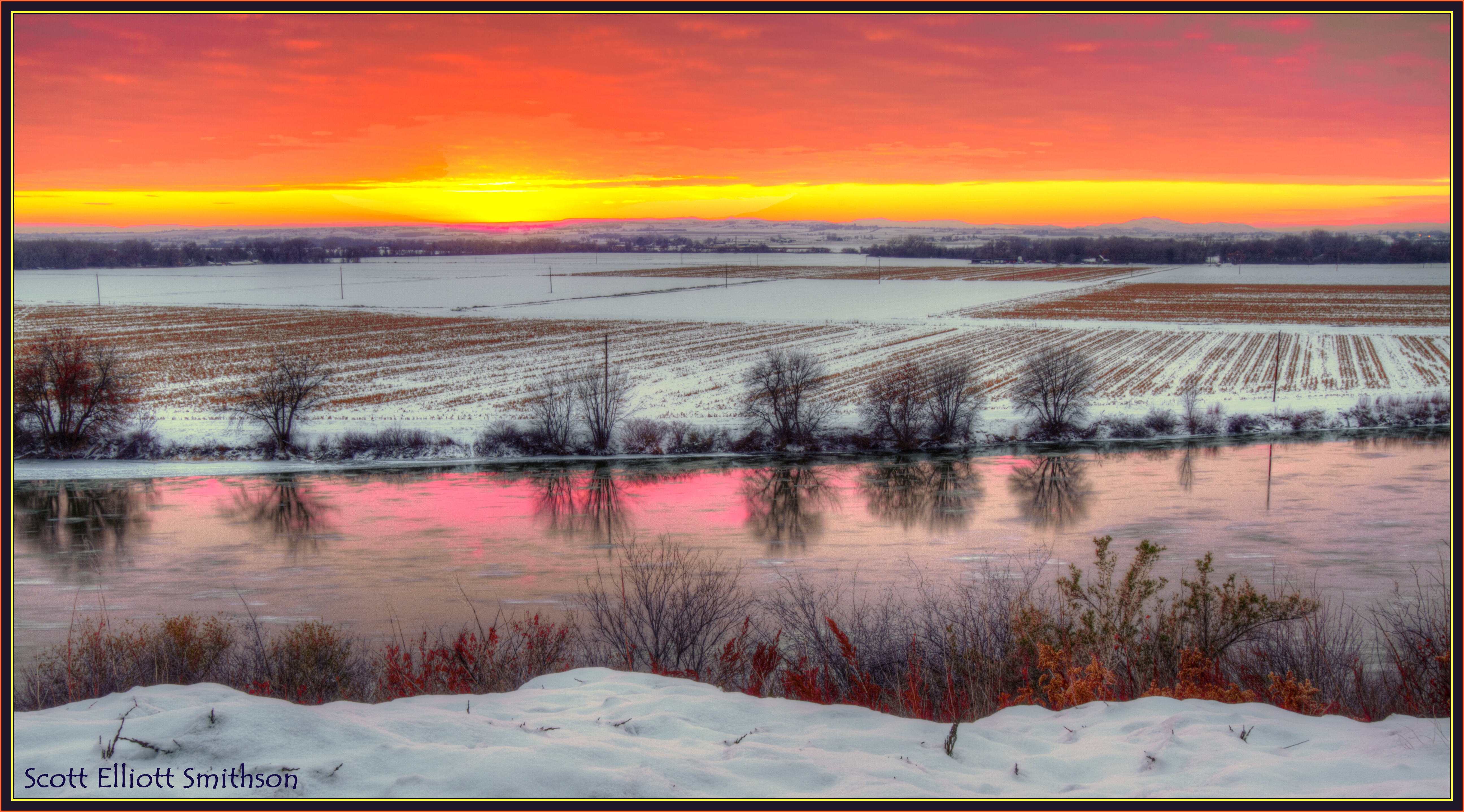
Snake River Winter Sunset

Sunset Silhouette
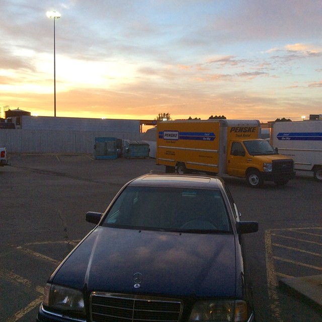
Sunrise in Ontario OR #SEAtoTUS
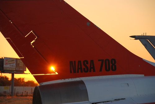
The Spark
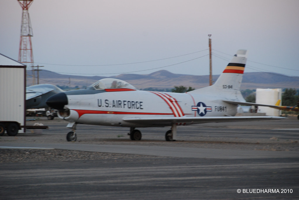
North American F-86D-60-NA Sabre
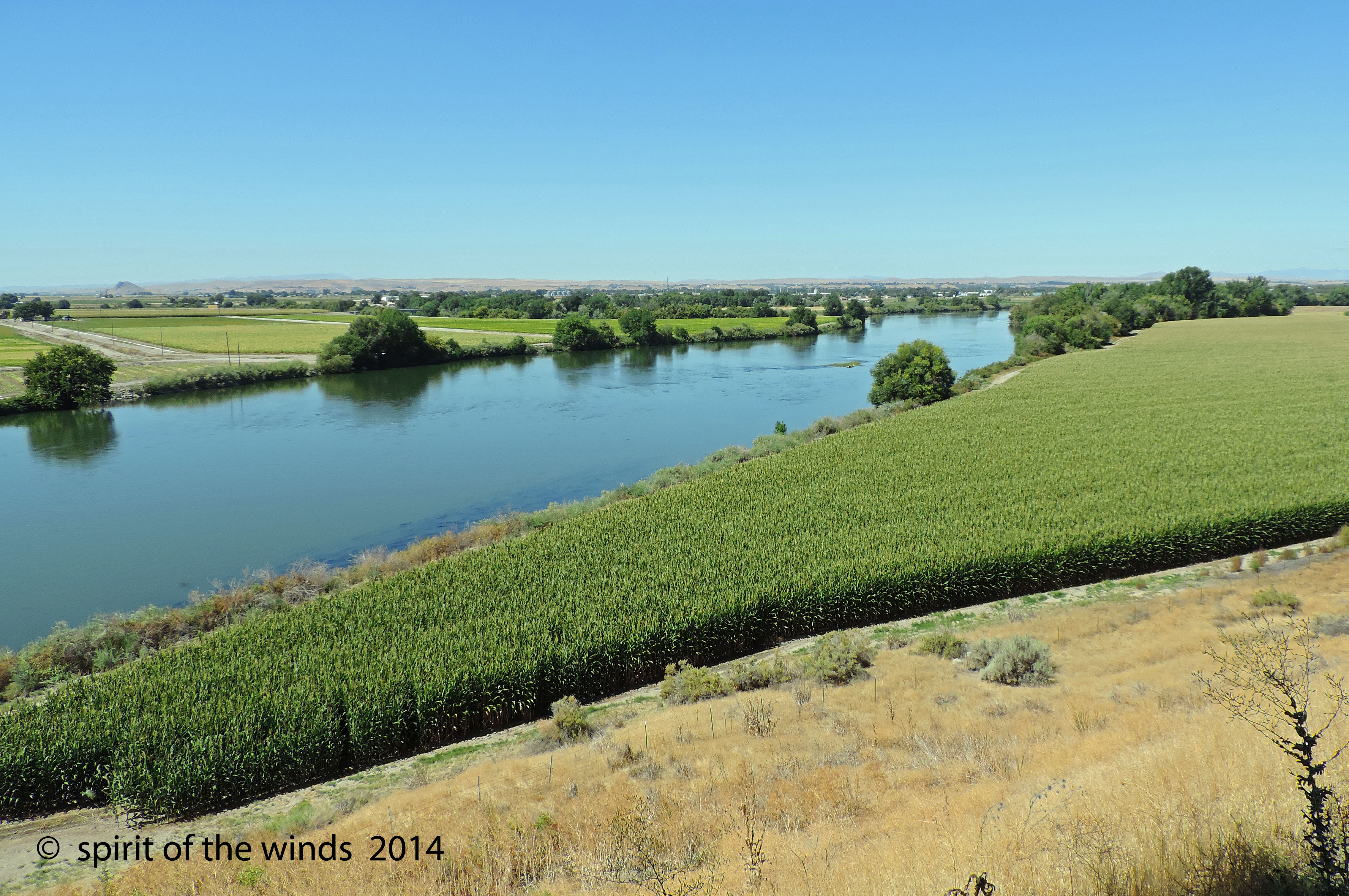
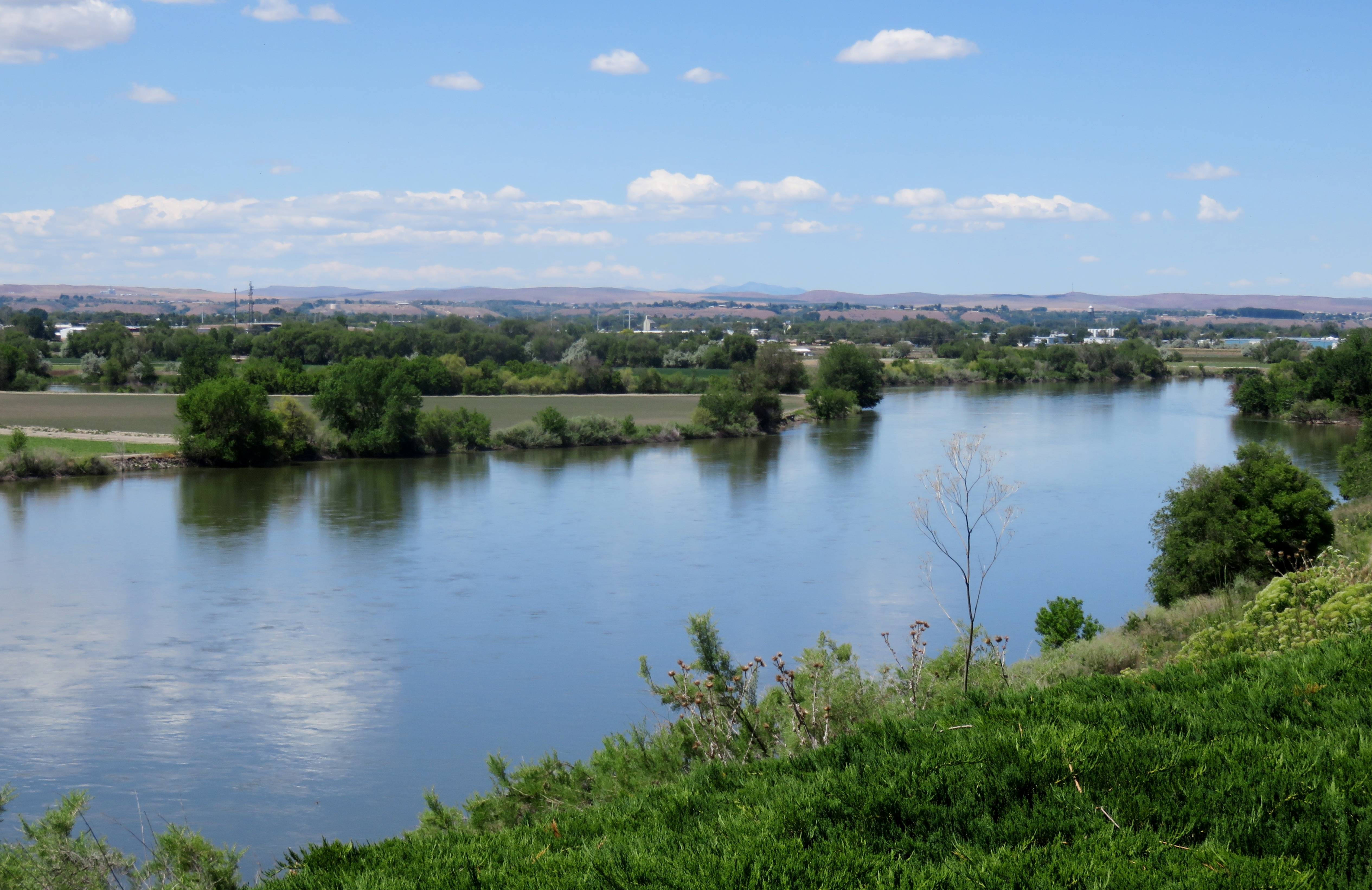
The Snake River

What a view to white water raft in...
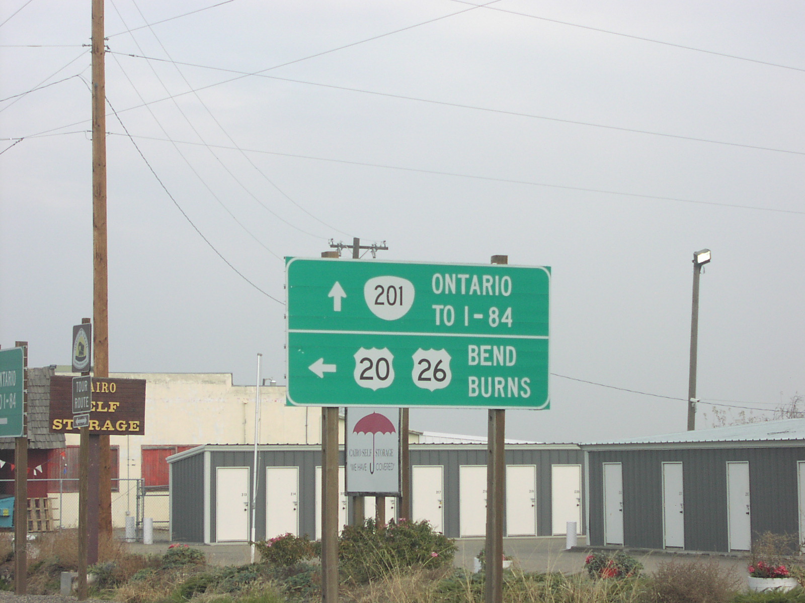
OR-201 North at US-20/US-26
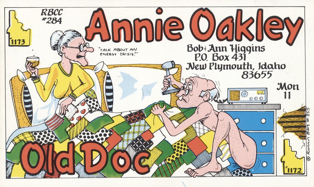
Runnin Bare #0855: Annie Oakley & Old Doc - New Plymouth, Idaho
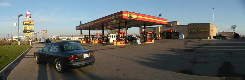
Pilot service station
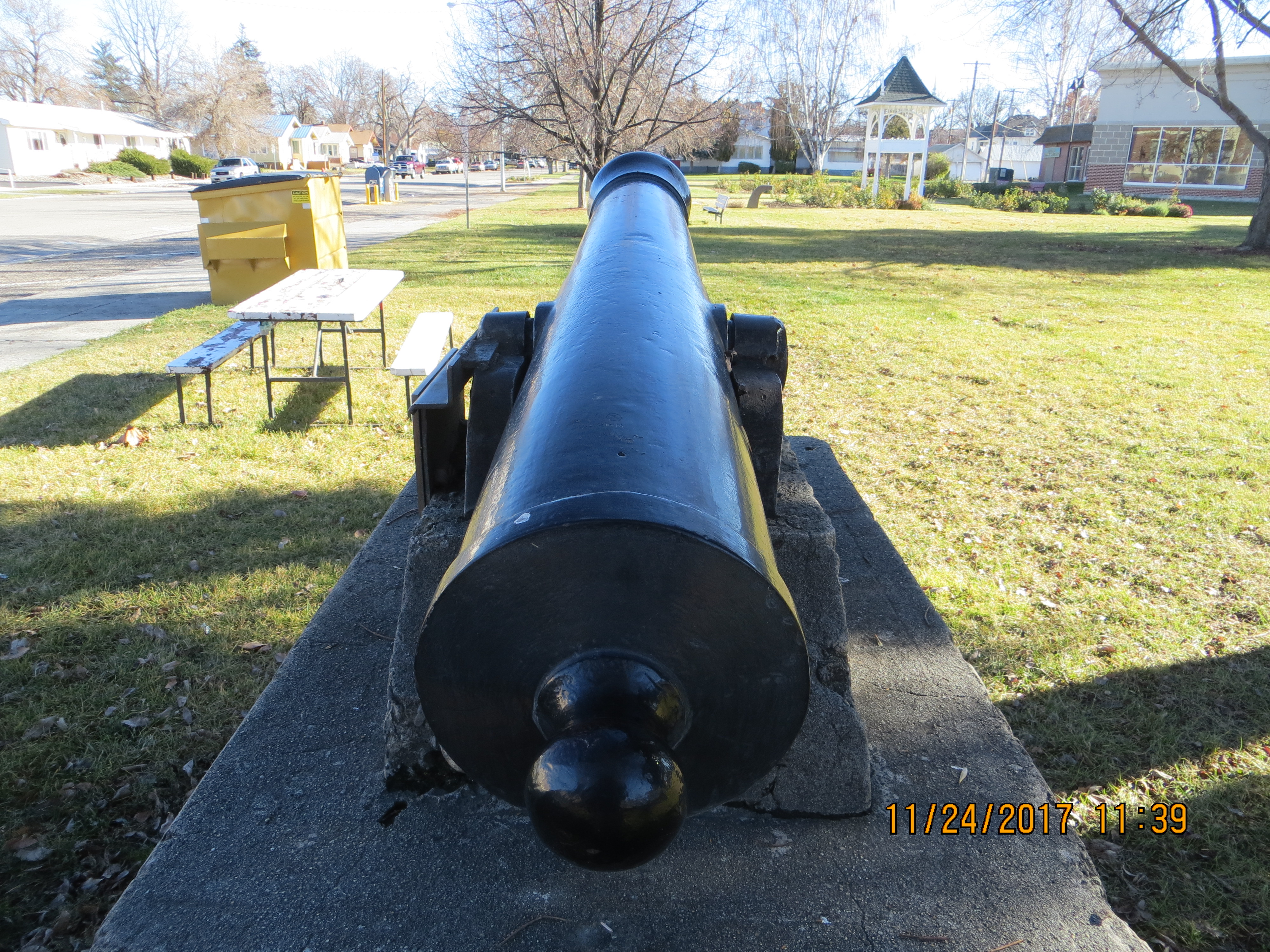
Old cannon in Payette , couldn't see any markings on barrel , but it did have a touch hole! (2)
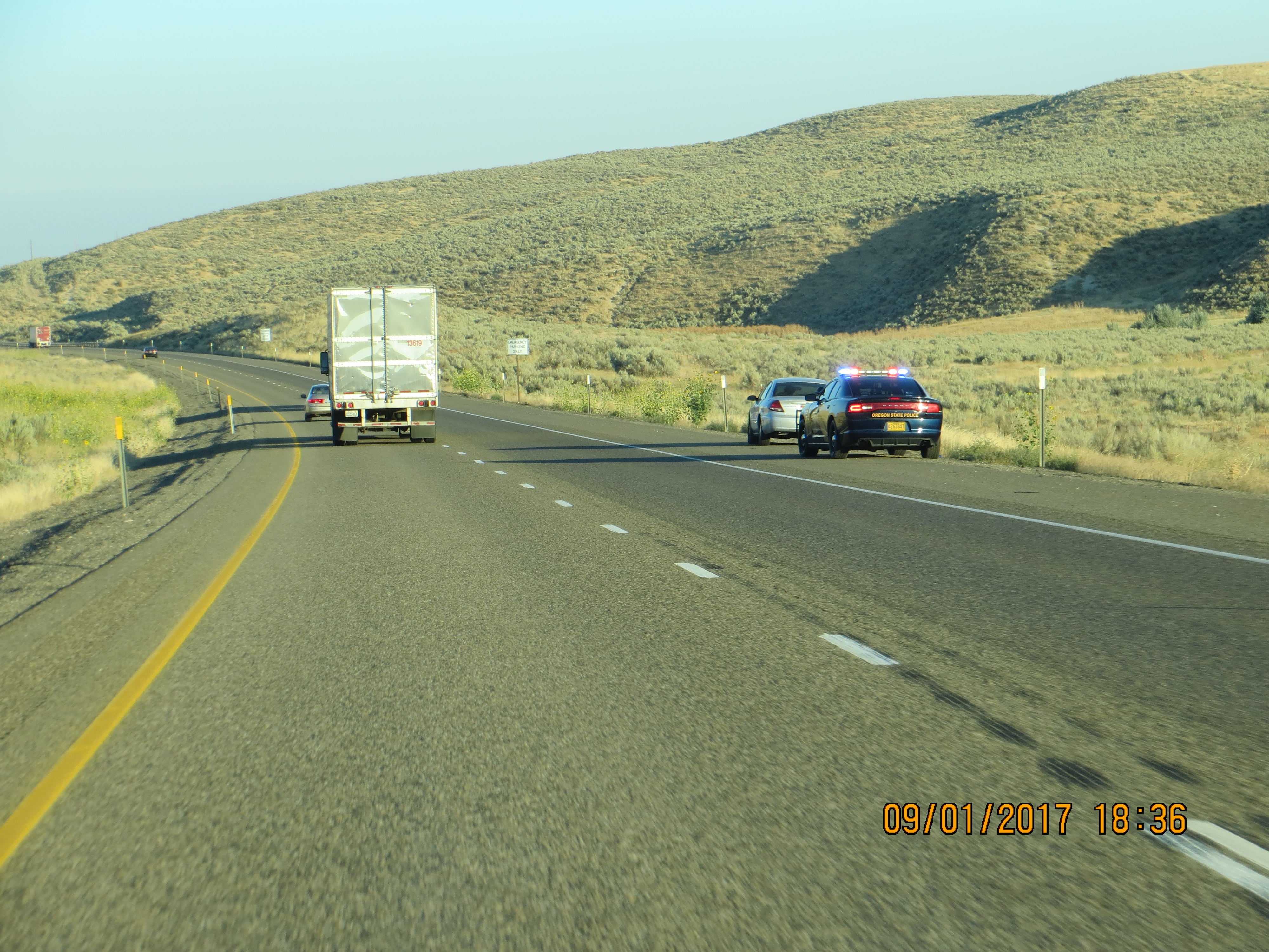
OSP stop near Ontario (4)
Illinois, Iowa, Nebreaska
Illinois, Iowa, Nebreaska
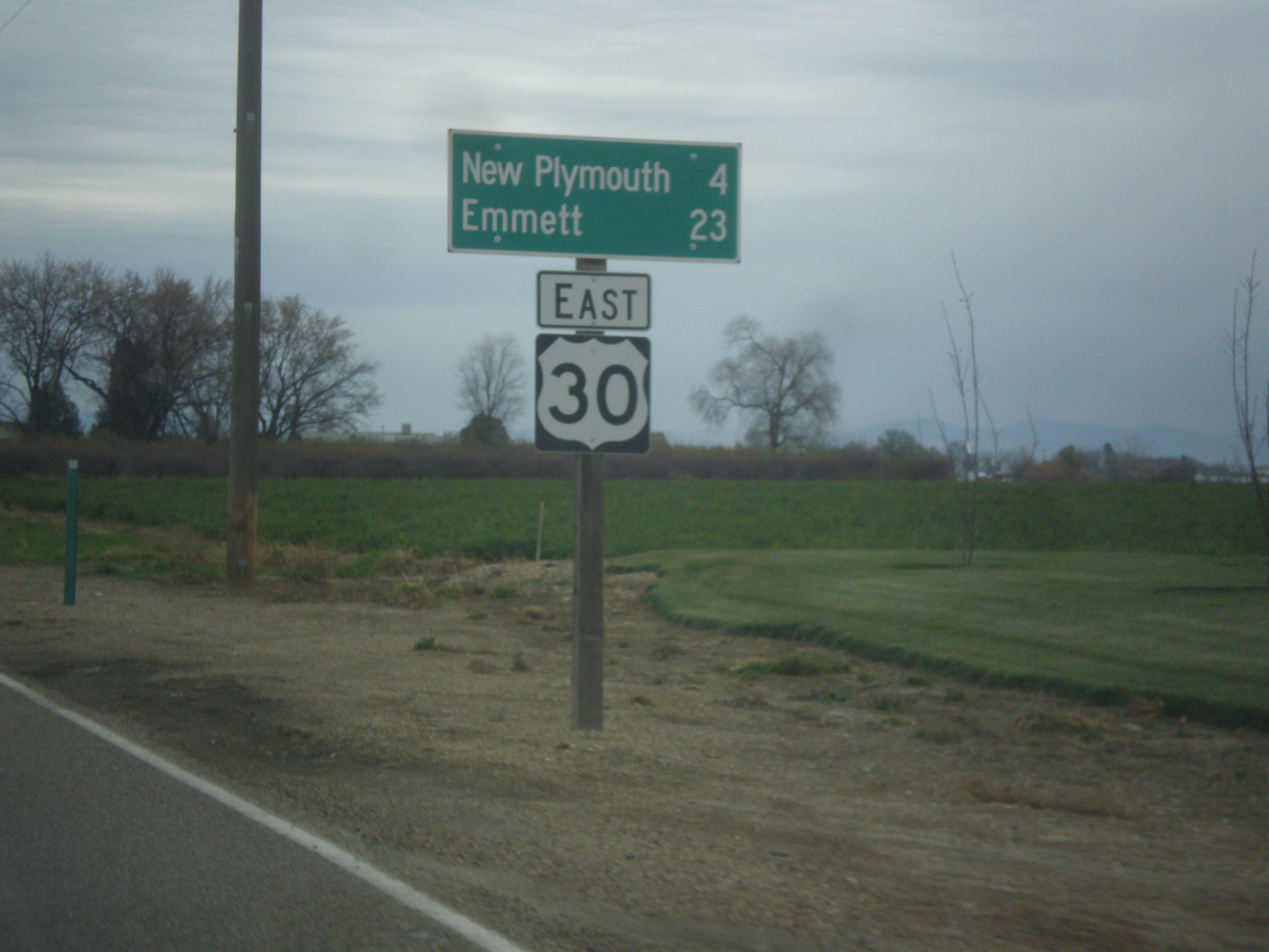
US-30 East - Distance Marker
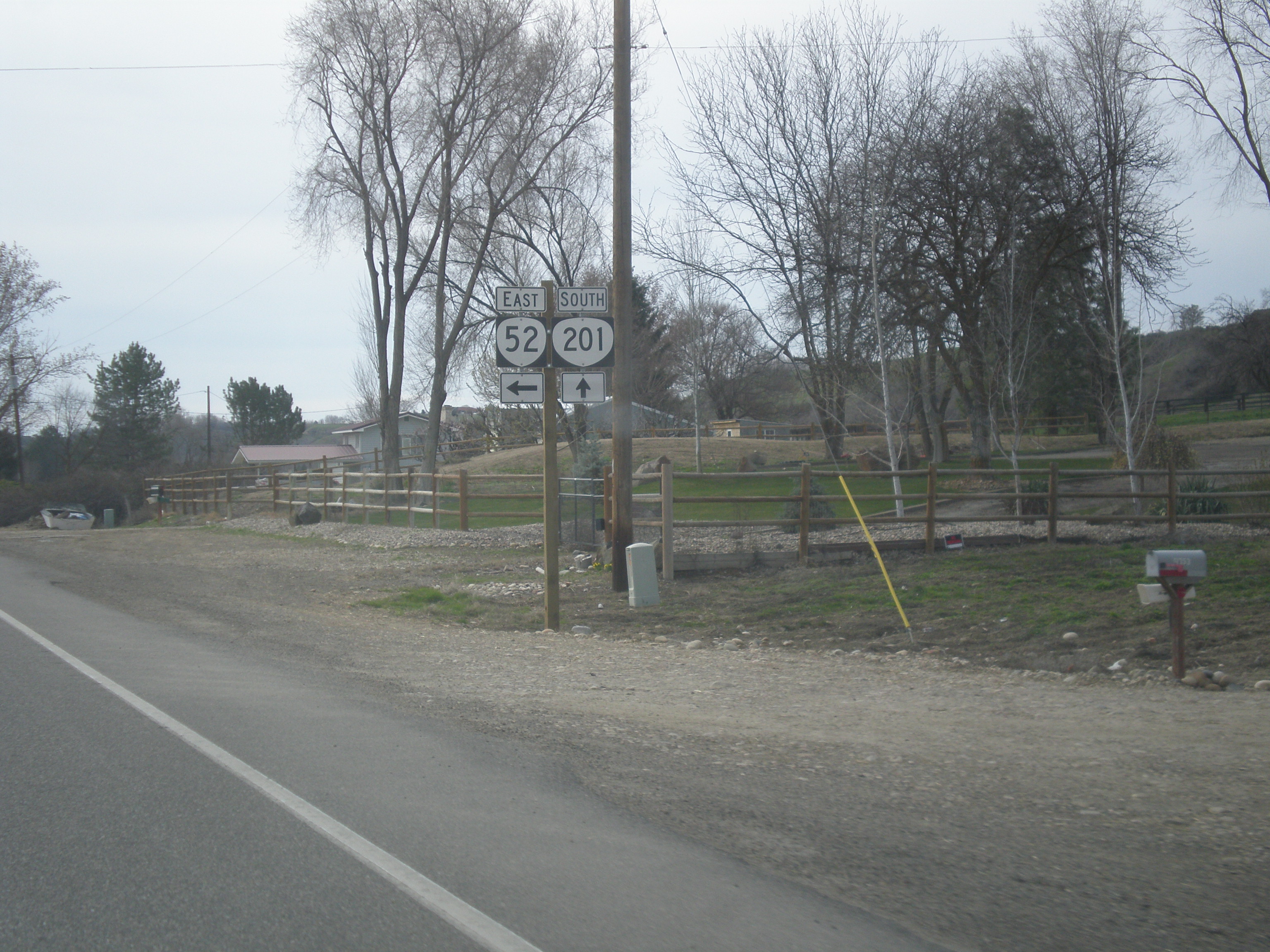
OR-201 South at OR-52
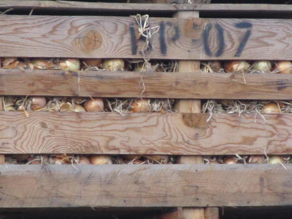
Crates of Onions
Malheur River Valley (Malheur County, Oregon)
Ontario Oregon
Sports Fans Will Know
Bi-Mart

4H sheep judging

East Idaho Ave. at Oregon St. North - Bus. US-30 Jct.
2018-09-10 11.13.04
Snake River
Payette County Sgeriff finishing up a stop (2)
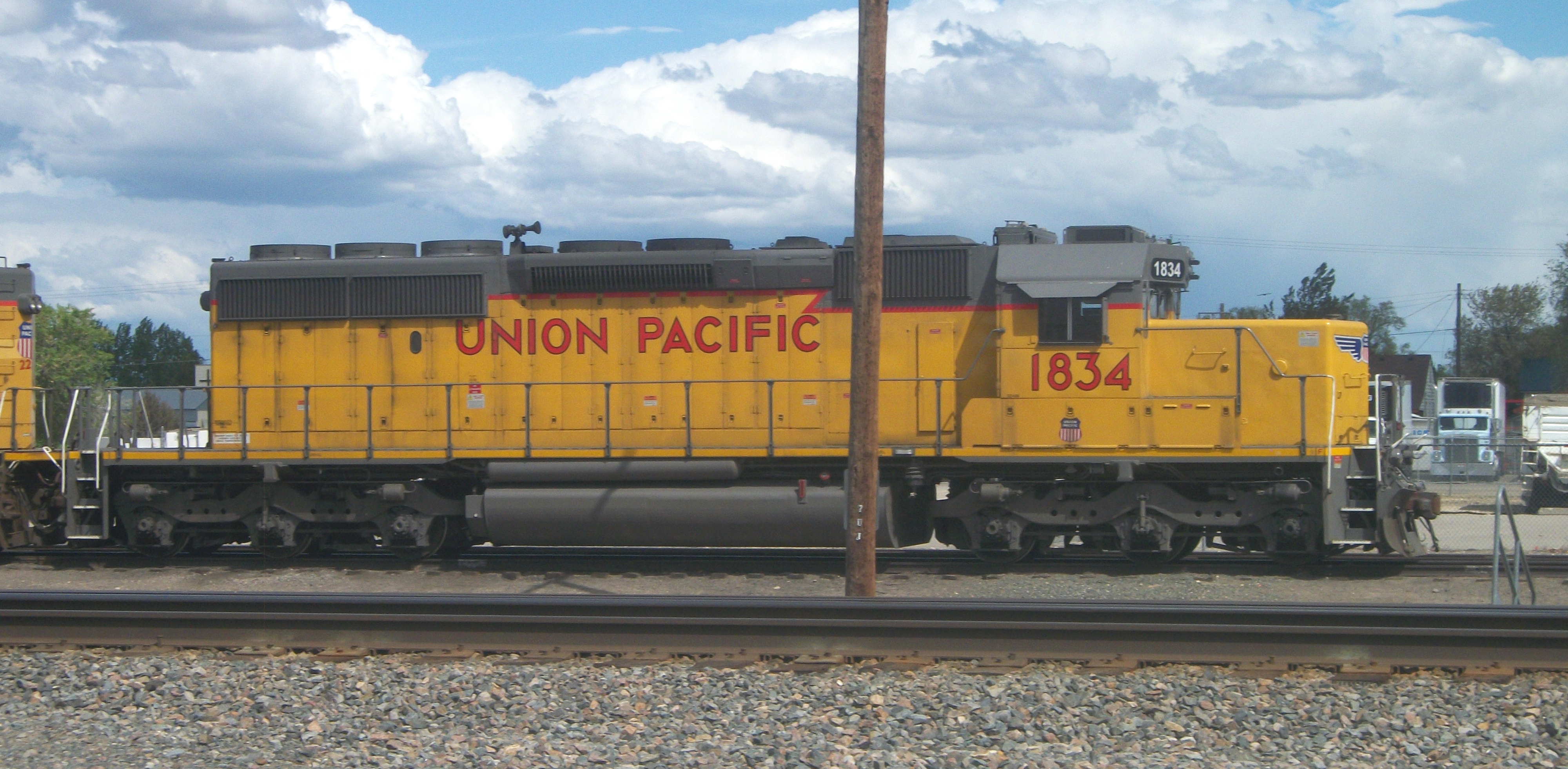
UP 1834 (with bonus pole!)
NW 11th St, Ontario, OR アメリカ合衆国の地図
別の場所を検索
近所の場所
57 NW 16th St, Ontario, OR アメリカ合衆国
SW 4th Ave, Ontario, OR アメリカ合衆国Idaho Elks Hearing and Balance Center: Ontario
アメリカ合衆国 〒 オレゴン州 オンタリオ
SW 2nd St, Ontario, OR アメリカ合衆国
SE 1st Ave, Ontario, OR アメリカ合衆国サウスイースト 1st アベニュー
Ontario Heights Rd, Ontario, OR アメリカ合衆国
アメリカ合衆国 〒 アイダホ州 ペイエット
N 6th St, Payette, ID アメリカ合衆国
Hyline Rd, Ontario, OR アメリカ合衆国
NW 16th St, Fruitland, ID アメリカ合衆国
Spring Creek Ln, Fruitland, ID アメリカ合衆国
W 1st St, Fruitland, ID アメリカ合衆国
Manser Dr, Payette, ID アメリカ合衆国
SW 4th St, Fruitland, ID アメリカ合衆国
アメリカ合衆国 〒 アイダホ州 フルーツランド
River Rd, Payette, ID アメリカ合衆国
Southwest Ave, New Plymouth, ID アメリカ合衆国サウスウェスト・アベニュー
Elm St, New Plymouth, ID アメリカ合衆国
アメリカ合衆国 〒 アイダホ州 ニュー・プリマス
アメリカ合衆国 アイダホ州 ペイエット
最近の検索
- アメリカ合衆国 アラスカ州 レッド・ドッグ・マイン日の出日の入り時間
- Am bhf, Borken, ドイツアム・バーンホーフ日の出日の入り時間
- 4th St E, Sonoma, CA, USA日の出日の入り時間
- Oakland Ave, Williamsport, PA アメリカ合衆国日の出日の入り時間
- Via Roma, Pieranica CR, イタリアローマ通り日の出日の入り時間
- クロアチア 〒 ドゥブロブニク GradClock Tower of Dubrovnik日の出日の入り時間
- アルゼンチン チュブ州 トレリュー日の出日の入り時間
- Hartfords Bluff Cir, Mt Pleasant, SC アメリカ合衆国日の出日の入り時間
- 日本、熊本県熊本市北区日の出日の入り時間
- 中華人民共和国 福州市 平潭県 平潭島日の出日の入り時間