アメリカ合衆国 〒 ニューメキシコ州 イエロージャケット・ピーク日の出日の入り時間
Location: アメリカ合衆国 > ニューメキシコ州 > アメリカ合衆国 〒 ニューメキシコ州 ミュール・クリーク >
時間帯:
America/Denver
現地時間:
2025-06-21 10:34:00
経度:
-109.0036741
緯度:
32.9664566
今日の日の出時刻:
06:08:20 AM
今日の日の入時刻:
08:28:04 PM
今日の日長:
14h 19m 44s
明日の日の出時刻:
06:08:36 AM
明日の日の入時刻:
08:28:14 PM
明日の日長:
14h 19m 38s
すべて表示する
| 日付 | 日出 | 日没 | 日長 |
|---|---|---|---|
| 2025年01月01日 | 07:19:04 AM | 05:21:20 PM | 10h 2m 16s |
| 2025年01月02日 | 07:19:14 AM | 05:22:06 PM | 10h 2m 52s |
| 2025年01月03日 | 07:19:21 AM | 05:22:53 PM | 10h 3m 32s |
| 2025年01月04日 | 07:19:26 AM | 05:23:41 PM | 10h 4m 15s |
| 2025年01月05日 | 07:19:30 AM | 05:24:30 PM | 10h 5m 0s |
| 2025年01月06日 | 07:19:32 AM | 05:25:19 PM | 10h 5m 47s |
| 2025年01月07日 | 07:19:32 AM | 05:26:10 PM | 10h 6m 38s |
| 2025年01月08日 | 07:19:31 AM | 05:27:01 PM | 10h 7m 30s |
| 2025年01月09日 | 07:19:27 AM | 05:27:53 PM | 10h 8m 26s |
| 2025年01月10日 | 07:19:22 AM | 05:28:45 PM | 10h 9m 23s |
| 2025年01月11日 | 07:19:15 AM | 05:29:39 PM | 10h 10m 24s |
| 2025年01月12日 | 07:19:06 AM | 05:30:32 PM | 10h 11m 26s |
| 2025年01月13日 | 07:18:55 AM | 05:31:27 PM | 10h 12m 32s |
| 2025年01月14日 | 07:18:43 AM | 05:32:21 PM | 10h 13m 38s |
| 2025年01月15日 | 07:18:28 AM | 05:33:17 PM | 10h 14m 49s |
| 2025年01月16日 | 07:18:12 AM | 05:34:12 PM | 10h 16m 0s |
| 2025年01月17日 | 07:17:54 AM | 05:35:08 PM | 10h 17m 14s |
| 2025年01月18日 | 07:17:35 AM | 05:36:04 PM | 10h 18m 29s |
| 2025年01月19日 | 07:17:13 AM | 05:37:01 PM | 10h 19m 48s |
| 2025年01月20日 | 07:16:50 AM | 05:37:57 PM | 10h 21m 7s |
| 2025年01月21日 | 07:16:25 AM | 05:38:54 PM | 10h 22m 29s |
| 2025年01月22日 | 07:15:59 AM | 05:39:51 PM | 10h 23m 52s |
| 2025年01月23日 | 07:15:31 AM | 05:40:48 PM | 10h 25m 17s |
| 2025年01月24日 | 07:15:01 AM | 05:41:46 PM | 10h 26m 45s |
| 2025年01月25日 | 07:14:29 AM | 05:42:43 PM | 10h 28m 14s |
| 2025年01月26日 | 07:13:56 AM | 05:43:40 PM | 10h 29m 44s |
| 2025年01月27日 | 07:13:21 AM | 05:44:38 PM | 10h 31m 17s |
| 2025年01月28日 | 07:12:45 AM | 05:45:35 PM | 10h 32m 50s |
| 2025年01月29日 | 07:12:07 AM | 05:46:32 PM | 10h 34m 25s |
| 2025年01月30日 | 07:11:28 AM | 05:47:29 PM | 10h 36m 1s |
| 2025年01月31日 | 07:10:47 AM | 05:48:26 PM | 10h 37m 39s |
| 2025年02月01日 | 07:10:04 AM | 05:49:23 PM | 10h 39m 19s |
| 2025年02月02日 | 07:09:20 AM | 05:50:20 PM | 10h 41m 0s |
| 2025年02月03日 | 07:08:35 AM | 05:51:16 PM | 10h 42m 41s |
| 2025年02月04日 | 07:07:48 AM | 05:52:12 PM | 10h 44m 24s |
| 2025年02月05日 | 07:07:00 AM | 05:53:08 PM | 10h 46m 8s |
| 2025年02月06日 | 07:06:11 AM | 05:54:04 PM | 10h 47m 53s |
| 2025年02月07日 | 07:05:20 AM | 05:55:00 PM | 10h 49m 40s |
| 2025年02月08日 | 07:04:28 AM | 05:55:55 PM | 10h 51m 27s |
| 2025年02月09日 | 07:03:34 AM | 05:56:50 PM | 10h 53m 16s |
| 2025年02月10日 | 07:02:40 AM | 05:57:45 PM | 10h 55m 5s |
| 2025年02月11日 | 07:01:44 AM | 05:58:39 PM | 10h 56m 55s |
| 2025年02月12日 | 07:00:47 AM | 05:59:33 PM | 10h 58m 46s |
| 2025年02月13日 | 06:59:49 AM | 06:00:27 PM | 11h 0m 38s |
| 2025年02月14日 | 06:58:49 AM | 06:01:20 PM | 11h 2m 31s |
| 2025年02月15日 | 06:57:49 AM | 06:02:13 PM | 11h 4m 24s |
| 2025年02月16日 | 06:56:48 AM | 06:03:06 PM | 11h 6m 18s |
| 2025年02月17日 | 06:55:45 AM | 06:03:58 PM | 11h 8m 13s |
| 2025年02月18日 | 06:54:42 AM | 06:04:50 PM | 11h 10m 8s |
| 2025年02月19日 | 06:53:37 AM | 06:05:42 PM | 11h 12m 5s |
| 2025年02月20日 | 06:52:32 AM | 06:06:33 PM | 11h 14m 1s |
| 2025年02月21日 | 06:51:26 AM | 06:07:24 PM | 11h 15m 58s |
| 2025年02月22日 | 06:50:19 AM | 06:08:15 PM | 11h 17m 56s |
| 2025年02月23日 | 06:49:11 AM | 06:09:05 PM | 11h 19m 54s |
| 2025年02月24日 | 06:48:02 AM | 06:09:55 PM | 11h 21m 53s |
| 2025年02月25日 | 06:46:52 AM | 06:10:44 PM | 11h 23m 52s |
| 2025年02月26日 | 06:45:42 AM | 06:11:33 PM | 11h 25m 51s |
| 2025年02月27日 | 06:44:31 AM | 06:12:22 PM | 11h 27m 51s |
| 2025年02月28日 | 06:43:19 AM | 06:13:11 PM | 11h 29m 52s |
| 2025年03月01日 | 06:42:07 AM | 06:13:59 PM | 11h 31m 52s |
| 2025年03月02日 | 06:40:54 AM | 06:14:47 PM | 11h 33m 53s |
| 2025年03月03日 | 06:39:40 AM | 06:15:34 PM | 11h 35m 54s |
| 2025年03月04日 | 06:38:26 AM | 06:16:21 PM | 11h 37m 55s |
| 2025年03月05日 | 06:37:11 AM | 06:17:08 PM | 11h 39m 57s |
| 2025年03月06日 | 06:35:56 AM | 06:17:55 PM | 11h 41m 59s |
| 2025年03月07日 | 06:34:40 AM | 06:18:41 PM | 11h 44m 1s |
| 2025年03月08日 | 06:33:24 AM | 06:19:27 PM | 11h 46m 3s |
| 2025年03月09日 | 07:32:10 AM | 07:20:11 PM | 11h 48m 1s |
| 2025年03月10日 | 07:30:53 AM | 07:20:57 PM | 11h 50m 4s |
| 2025年03月11日 | 07:29:36 AM | 07:21:42 PM | 11h 52m 6s |
| 2025年03月12日 | 07:28:18 AM | 07:22:27 PM | 11h 54m 9s |
| 2025年03月13日 | 07:27:00 AM | 07:23:12 PM | 11h 56m 12s |
| 2025年03月14日 | 07:25:42 AM | 07:23:57 PM | 11h 58m 15s |
| 2025年03月15日 | 07:24:23 AM | 07:24:41 PM | 12h 0m 18s |
| 2025年03月16日 | 07:23:05 AM | 07:25:26 PM | 12h 2m 21s |
| 2025年03月17日 | 07:21:46 AM | 07:26:10 PM | 12h 4m 24s |
| 2025年03月18日 | 07:20:27 AM | 07:26:54 PM | 12h 6m 27s |
| 2025年03月19日 | 07:19:07 AM | 07:27:38 PM | 12h 8m 31s |
| 2025年03月20日 | 07:17:48 AM | 07:28:21 PM | 12h 10m 33s |
| 2025年03月21日 | 07:16:29 AM | 07:29:05 PM | 12h 12m 36s |
| 2025年03月22日 | 07:15:09 AM | 07:29:48 PM | 12h 14m 39s |
| 2025年03月23日 | 07:13:50 AM | 07:30:32 PM | 12h 16m 42s |
| 2025年03月24日 | 07:12:30 AM | 07:31:15 PM | 12h 18m 45s |
| 2025年03月25日 | 07:11:11 AM | 07:31:58 PM | 12h 20m 47s |
| 2025年03月26日 | 07:09:52 AM | 07:32:41 PM | 12h 22m 49s |
| 2025年03月27日 | 07:08:33 AM | 07:33:24 PM | 12h 24m 51s |
| 2025年03月28日 | 07:07:14 AM | 07:34:07 PM | 12h 26m 53s |
| 2025年03月29日 | 07:05:55 AM | 07:34:50 PM | 12h 28m 55s |
| 2025年03月30日 | 07:04:36 AM | 07:35:33 PM | 12h 30m 57s |
| 2025年03月31日 | 07:03:17 AM | 07:36:16 PM | 12h 32m 59s |
| 2025年04月01日 | 07:01:59 AM | 07:36:59 PM | 12h 35m 0s |
| 2025年04月02日 | 07:00:41 AM | 07:37:42 PM | 12h 37m 1s |
| 2025年04月03日 | 06:59:23 AM | 07:38:24 PM | 12h 39m 1s |
| 2025年04月04日 | 06:58:06 AM | 07:39:07 PM | 12h 41m 1s |
| 2025年04月05日 | 06:56:49 AM | 07:39:50 PM | 12h 43m 1s |
| 2025年04月06日 | 06:55:33 AM | 07:40:33 PM | 12h 45m 0s |
| 2025年04月07日 | 06:54:16 AM | 07:41:16 PM | 12h 47m 0s |
| 2025年04月08日 | 06:53:01 AM | 07:41:59 PM | 12h 48m 58s |
| 2025年04月09日 | 06:51:45 AM | 07:42:43 PM | 12h 50m 58s |
| 2025年04月10日 | 06:50:31 AM | 07:43:26 PM | 12h 52m 55s |
| 2025年04月11日 | 06:49:16 AM | 07:44:09 PM | 12h 54m 53s |
| 2025年04月12日 | 06:48:03 AM | 07:44:52 PM | 12h 56m 49s |
| 2025年04月13日 | 06:46:50 AM | 07:45:36 PM | 12h 58m 46s |
| 2025年04月14日 | 06:45:37 AM | 07:46:19 PM | 13h 0m 42s |
| 2025年04月15日 | 06:44:25 AM | 07:47:03 PM | 13h 2m 38s |
| 2025年04月16日 | 06:43:14 AM | 07:47:47 PM | 13h 4m 33s |
| 2025年04月17日 | 06:42:04 AM | 07:48:30 PM | 13h 6m 26s |
| 2025年04月18日 | 06:40:54 AM | 07:49:14 PM | 13h 8m 20s |
| 2025年04月19日 | 06:39:45 AM | 07:49:58 PM | 13h 10m 13s |
| 2025年04月20日 | 06:38:37 AM | 07:50:42 PM | 13h 12m 5s |
| 2025年04月21日 | 06:37:29 AM | 07:51:26 PM | 13h 13m 57s |
| 2025年04月22日 | 06:36:23 AM | 07:52:10 PM | 13h 15m 47s |
| 2025年04月23日 | 06:35:17 AM | 07:52:55 PM | 13h 17m 38s |
| 2025年04月24日 | 06:34:12 AM | 07:53:39 PM | 13h 19m 27s |
| 2025年04月25日 | 06:33:08 AM | 07:54:23 PM | 13h 21m 15s |
| 2025年04月26日 | 06:32:05 AM | 07:55:08 PM | 13h 23m 3s |
| 2025年04月27日 | 06:31:03 AM | 07:55:52 PM | 13h 24m 49s |
| 2025年04月28日 | 06:30:02 AM | 07:56:37 PM | 13h 26m 35s |
| 2025年04月29日 | 06:29:02 AM | 07:57:21 PM | 13h 28m 19s |
| 2025年04月30日 | 06:28:03 AM | 07:58:06 PM | 13h 30m 3s |
| 2025年05月01日 | 06:27:05 AM | 07:58:51 PM | 13h 31m 46s |
| 2025年05月02日 | 06:26:08 AM | 07:59:35 PM | 13h 33m 27s |
| 2025年05月03日 | 06:25:13 AM | 08:00:20 PM | 13h 35m 7s |
| 2025年05月04日 | 06:24:18 AM | 08:01:04 PM | 13h 36m 46s |
| 2025年05月05日 | 06:23:25 AM | 08:01:49 PM | 13h 38m 24s |
| 2025年05月06日 | 06:22:33 AM | 08:02:33 PM | 13h 40m 0s |
| 2025年05月07日 | 06:21:42 AM | 08:03:18 PM | 13h 41m 36s |
| 2025年05月08日 | 06:20:52 AM | 08:04:02 PM | 13h 43m 10s |
| 2025年05月09日 | 06:20:04 AM | 08:04:46 PM | 13h 44m 42s |
| 2025年05月10日 | 06:19:16 AM | 08:05:30 PM | 13h 46m 14s |
| 2025年05月11日 | 06:18:31 AM | 08:06:14 PM | 13h 47m 43s |
| 2025年05月12日 | 06:17:46 AM | 08:06:58 PM | 13h 49m 12s |
| 2025年05月13日 | 06:17:03 AM | 08:07:41 PM | 13h 50m 38s |
| 2025年05月14日 | 06:16:21 AM | 08:08:24 PM | 13h 52m 3s |
| 2025年05月15日 | 06:15:40 AM | 08:09:07 PM | 13h 53m 27s |
| 2025年05月16日 | 06:15:01 AM | 08:09:50 PM | 13h 54m 49s |
| 2025年05月17日 | 06:14:24 AM | 08:10:32 PM | 13h 56m 8s |
| 2025年05月18日 | 06:13:48 AM | 08:11:14 PM | 13h 57m 26s |
| 2025年05月19日 | 06:13:13 AM | 08:11:56 PM | 13h 58m 43s |
| 2025年05月20日 | 06:12:39 AM | 08:12:38 PM | 13h 59m 59s |
| 2025年05月21日 | 06:12:08 AM | 08:13:18 PM | 14h 1m 10s |
| 2025年05月22日 | 06:11:37 AM | 08:13:59 PM | 14h 2m 22s |
| 2025年05月23日 | 06:11:08 AM | 08:14:39 PM | 14h 3m 31s |
| 2025年05月24日 | 06:10:41 AM | 08:15:18 PM | 14h 4m 37s |
| 2025年05月25日 | 06:10:15 AM | 08:15:57 PM | 14h 5m 42s |
| 2025年05月26日 | 06:09:51 AM | 08:16:36 PM | 14h 6m 45s |
| 2025年05月27日 | 06:09:28 AM | 08:17:13 PM | 14h 7m 45s |
| 2025年05月28日 | 06:09:07 AM | 08:17:50 PM | 14h 8m 43s |
| 2025年05月29日 | 06:08:47 AM | 08:18:27 PM | 14h 9m 40s |
| 2025年05月30日 | 06:08:29 AM | 08:19:02 PM | 14h 10m 33s |
| 2025年05月31日 | 06:08:13 AM | 08:19:37 PM | 14h 11m 24s |
| 2025年06月01日 | 06:07:58 AM | 08:20:12 PM | 14h 12m 14s |
| 2025年06月02日 | 06:07:44 AM | 08:20:45 PM | 14h 13m 1s |
| 2025年06月03日 | 06:07:32 AM | 08:21:17 PM | 14h 13m 45s |
| 2025年06月04日 | 06:07:22 AM | 08:21:49 PM | 14h 14m 27s |
| 2025年06月05日 | 06:07:13 AM | 08:22:20 PM | 14h 15m 7s |
| 2025年06月06日 | 06:07:06 AM | 08:22:50 PM | 14h 15m 44s |
| 2025年06月07日 | 06:07:00 AM | 08:23:18 PM | 14h 16m 18s |
| 2025年06月08日 | 06:06:56 AM | 08:23:46 PM | 14h 16m 50s |
| 2025年06月09日 | 06:06:53 AM | 08:24:13 PM | 14h 17m 20s |
| 2025年06月10日 | 06:06:52 AM | 08:24:38 PM | 14h 17m 46s |
| 2025年06月11日 | 06:06:52 AM | 08:25:03 PM | 14h 18m 11s |
| 2025年06月12日 | 06:06:54 AM | 08:25:26 PM | 14h 18m 32s |
| 2025年06月13日 | 06:06:57 AM | 08:25:48 PM | 14h 18m 51s |
| 2025年06月14日 | 06:07:02 AM | 08:26:09 PM | 14h 19m 7s |
| 2025年06月15日 | 06:07:08 AM | 08:26:29 PM | 14h 19m 21s |
| 2025年06月16日 | 06:07:16 AM | 08:26:47 PM | 14h 19m 31s |
| 2025年06月17日 | 06:07:24 AM | 08:27:05 PM | 14h 19m 41s |
| 2025年06月18日 | 06:07:35 AM | 08:27:20 PM | 14h 19m 45s |
| 2025年06月19日 | 06:07:46 AM | 08:27:35 PM | 14h 19m 49s |
| 2025年06月20日 | 06:07:59 AM | 08:27:48 PM | 14h 19m 49s |
| 2025年06月21日 | 06:08:14 AM | 08:28:00 PM | 14h 19m 46s |
| 2025年06月22日 | 06:08:29 AM | 08:28:10 PM | 14h 19m 41s |
| 2025年06月23日 | 06:08:46 AM | 08:28:19 PM | 14h 19m 33s |
| 2025年06月24日 | 06:09:04 AM | 08:28:26 PM | 14h 19m 22s |
| 2025年06月25日 | 06:09:24 AM | 08:28:32 PM | 14h 19m 8s |
| 2025年06月26日 | 06:09:44 AM | 08:28:37 PM | 14h 18m 53s |
| 2025年06月27日 | 06:10:06 AM | 08:28:40 PM | 14h 18m 34s |
| 2025年06月28日 | 06:10:28 AM | 08:28:41 PM | 14h 18m 13s |
| 2025年06月29日 | 06:10:52 AM | 08:28:41 PM | 14h 17m 49s |
| 2025年06月30日 | 06:11:17 AM | 08:28:40 PM | 14h 17m 23s |
| 2025年07月01日 | 06:11:43 AM | 08:28:36 PM | 14h 16m 53s |
| 2025年07月02日 | 06:12:10 AM | 08:28:32 PM | 14h 16m 22s |
| 2025年07月03日 | 06:12:37 AM | 08:28:25 PM | 14h 15m 48s |
| 2025年07月04日 | 06:13:06 AM | 08:28:17 PM | 14h 15m 11s |
| 2025年07月05日 | 06:13:36 AM | 08:28:08 PM | 14h 14m 32s |
| 2025年07月06日 | 06:14:06 AM | 08:27:57 PM | 14h 13m 51s |
| 2025年07月07日 | 06:14:37 AM | 08:27:44 PM | 14h 13m 7s |
| 2025年07月08日 | 06:15:09 AM | 08:27:30 PM | 14h 12m 21s |
| 2025年07月09日 | 06:15:42 AM | 08:27:14 PM | 14h 11m 32s |
| 2025年07月10日 | 06:16:15 AM | 08:26:56 PM | 14h 10m 41s |
| 2025年07月11日 | 06:16:50 AM | 08:26:37 PM | 14h 9m 47s |
| 2025年07月12日 | 06:17:24 AM | 08:26:17 PM | 14h 8m 53s |
| 2025年07月13日 | 06:18:00 AM | 08:25:54 PM | 14h 7m 54s |
| 2025年07月14日 | 06:18:36 AM | 08:25:31 PM | 14h 6m 55s |
| 2025年07月15日 | 06:19:12 AM | 08:25:05 PM | 14h 5m 53s |
| 2025年07月16日 | 06:19:49 AM | 08:24:38 PM | 14h 4m 49s |
| 2025年07月17日 | 06:20:27 AM | 08:24:10 PM | 14h 3m 43s |
| 2025年07月18日 | 06:21:05 AM | 08:23:40 PM | 14h 2m 35s |
| 2025年07月19日 | 06:21:43 AM | 08:23:08 PM | 14h 1m 25s |
| 2025年07月20日 | 06:22:22 AM | 08:22:35 PM | 14h 0m 13s |
| 2025年07月21日 | 06:23:01 AM | 08:22:01 PM | 13h 59m 0s |
| 2025年07月22日 | 06:23:40 AM | 08:21:25 PM | 13h 57m 45s |
| 2025年07月23日 | 06:24:20 AM | 08:20:47 PM | 13h 56m 27s |
| 2025年07月24日 | 06:25:00 AM | 08:20:08 PM | 13h 55m 8s |
| 2025年07月25日 | 06:25:40 AM | 08:19:28 PM | 13h 53m 48s |
| 2025年07月26日 | 06:26:21 AM | 08:18:46 PM | 13h 52m 25s |
| 2025年07月27日 | 06:27:01 AM | 08:18:03 PM | 13h 51m 2s |
| 2025年07月28日 | 06:27:42 AM | 08:17:18 PM | 13h 49m 36s |
| 2025年07月29日 | 06:28:23 AM | 08:16:32 PM | 13h 48m 9s |
| 2025年07月30日 | 06:29:04 AM | 08:15:45 PM | 13h 46m 41s |
| 2025年07月31日 | 06:29:46 AM | 08:14:56 PM | 13h 45m 10s |
| 2025年08月01日 | 06:30:27 AM | 08:14:06 PM | 13h 43m 39s |
| 2025年08月02日 | 06:31:08 AM | 08:13:15 PM | 13h 42m 7s |
| 2025年08月03日 | 06:31:50 AM | 08:12:23 PM | 13h 40m 33s |
| 2025年08月04日 | 06:32:31 AM | 08:11:29 PM | 13h 38m 58s |
| 2025年08月05日 | 06:33:13 AM | 08:10:34 PM | 13h 37m 21s |
| 2025年08月06日 | 06:33:54 AM | 08:09:38 PM | 13h 35m 44s |
| 2025年08月07日 | 06:34:36 AM | 08:08:41 PM | 13h 34m 5s |
| 2025年08月08日 | 06:35:17 AM | 08:07:42 PM | 13h 32m 25s |
| 2025年08月09日 | 06:35:58 AM | 08:06:43 PM | 13h 30m 45s |
| 2025年08月10日 | 06:36:40 AM | 08:05:42 PM | 13h 29m 2s |
| 2025年08月11日 | 06:37:21 AM | 08:04:40 PM | 13h 27m 19s |
| 2025年08月12日 | 06:38:02 AM | 08:03:38 PM | 13h 25m 36s |
| 2025年08月13日 | 06:38:43 AM | 08:02:34 PM | 13h 23m 51s |
| 2025年08月14日 | 06:39:24 AM | 08:01:29 PM | 13h 22m 5s |
| 2025年08月15日 | 06:40:05 AM | 08:00:24 PM | 13h 20m 19s |
| 2025年08月16日 | 06:40:46 AM | 07:59:17 PM | 13h 18m 31s |
| 2025年08月17日 | 06:41:27 AM | 07:58:10 PM | 13h 16m 43s |
| 2025年08月18日 | 06:42:07 AM | 07:57:01 PM | 13h 14m 54s |
| 2025年08月19日 | 06:42:48 AM | 07:55:52 PM | 13h 13m 4s |
| 2025年08月20日 | 06:43:28 AM | 07:54:42 PM | 13h 11m 14s |
| 2025年08月21日 | 06:44:08 AM | 07:53:31 PM | 13h 9m 23s |
| 2025年08月22日 | 06:44:48 AM | 07:52:20 PM | 13h 7m 32s |
| 2025年08月23日 | 06:45:28 AM | 07:51:07 PM | 13h 5m 39s |
| 2025年08月24日 | 06:46:08 AM | 07:49:54 PM | 13h 3m 46s |
| 2025年08月25日 | 06:46:48 AM | 07:48:41 PM | 13h 1m 53s |
| 2025年08月26日 | 06:47:28 AM | 07:47:26 PM | 12h 59m 58s |
| 2025年08月27日 | 06:48:07 AM | 07:46:11 PM | 12h 58m 4s |
| 2025年08月28日 | 06:48:47 AM | 07:44:56 PM | 12h 56m 9s |
| 2025年08月29日 | 06:49:26 AM | 07:43:39 PM | 12h 54m 13s |
| 2025年08月30日 | 06:50:05 AM | 07:42:23 PM | 12h 52m 18s |
| 2025年08月31日 | 06:50:45 AM | 07:41:05 PM | 12h 50m 20s |
| 2025年09月01日 | 06:51:24 AM | 07:39:48 PM | 12h 48m 24s |
| 2025年09月02日 | 06:52:03 AM | 07:38:29 PM | 12h 46m 26s |
| 2025年09月03日 | 06:52:42 AM | 07:37:11 PM | 12h 44m 29s |
| 2025年09月04日 | 06:53:20 AM | 07:35:52 PM | 12h 42m 32s |
| 2025年09月05日 | 06:53:59 AM | 07:34:32 PM | 12h 40m 33s |
| 2025年09月06日 | 06:54:38 AM | 07:33:12 PM | 12h 38m 34s |
| 2025年09月07日 | 06:55:17 AM | 07:31:52 PM | 12h 36m 35s |
| 2025年09月08日 | 06:55:55 AM | 07:30:32 PM | 12h 34m 37s |
| 2025年09月09日 | 06:56:34 AM | 07:29:11 PM | 12h 32m 37s |
| 2025年09月10日 | 06:57:13 AM | 07:27:50 PM | 12h 30m 37s |
| 2025年09月11日 | 06:57:52 AM | 07:26:29 PM | 12h 28m 37s |
| 2025年09月12日 | 06:58:30 AM | 07:25:08 PM | 12h 26m 38s |
| 2025年09月13日 | 06:59:09 AM | 07:23:46 PM | 12h 24m 37s |
| 2025年09月14日 | 06:59:48 AM | 07:22:25 PM | 12h 22m 37s |
| 2025年09月15日 | 07:00:27 AM | 07:21:03 PM | 12h 20m 36s |
| 2025年09月16日 | 07:01:05 AM | 07:19:41 PM | 12h 18m 36s |
| 2025年09月17日 | 07:01:44 AM | 07:18:19 PM | 12h 16m 35s |
| 2025年09月18日 | 07:02:23 AM | 07:16:58 PM | 12h 14m 35s |
| 2025年09月19日 | 07:03:03 AM | 07:15:36 PM | 12h 12m 33s |
| 2025年09月20日 | 07:03:42 AM | 07:14:14 PM | 12h 10m 32s |
| 2025年09月21日 | 07:04:21 AM | 07:12:52 PM | 12h 8m 31s |
| 2025年09月22日 | 07:05:01 AM | 07:11:31 PM | 12h 6m 30s |
| 2025年09月23日 | 07:05:40 AM | 07:10:09 PM | 12h 4m 29s |
| 2025年09月24日 | 07:06:20 AM | 07:08:48 PM | 12h 2m 28s |
| 2025年09月25日 | 07:07:00 AM | 07:07:27 PM | 12h 0m 27s |
| 2025年09月26日 | 07:07:40 AM | 07:06:06 PM | 11h 58m 26s |
| 2025年09月27日 | 07:08:21 AM | 07:04:45 PM | 11h 56m 24s |
| 2025年09月28日 | 07:09:01 AM | 07:03:24 PM | 11h 54m 23s |
| 2025年09月29日 | 07:09:42 AM | 07:02:04 PM | 11h 52m 22s |
| 2025年09月30日 | 07:10:23 AM | 07:00:45 PM | 11h 50m 22s |
| 2025年10月01日 | 07:11:04 AM | 06:59:25 PM | 11h 48m 21s |
| 2025年10月02日 | 07:11:46 AM | 06:58:06 PM | 11h 46m 20s |
| 2025年10月03日 | 07:12:28 AM | 06:56:47 PM | 11h 44m 19s |
| 2025年10月04日 | 07:13:10 AM | 06:55:29 PM | 11h 42m 19s |
| 2025年10月05日 | 07:13:52 AM | 06:54:11 PM | 11h 40m 19s |
| 2025年10月06日 | 07:14:35 AM | 06:52:54 PM | 11h 38m 19s |
| 2025年10月07日 | 07:15:18 AM | 06:51:37 PM | 11h 36m 19s |
| 2025年10月08日 | 07:16:01 AM | 06:50:21 PM | 11h 34m 20s |
| 2025年10月09日 | 07:16:45 AM | 06:49:06 PM | 11h 32m 21s |
| 2025年10月10日 | 07:17:29 AM | 06:47:51 PM | 11h 30m 22s |
| 2025年10月11日 | 07:18:13 AM | 06:46:36 PM | 11h 28m 23s |
| 2025年10月12日 | 07:18:58 AM | 06:45:23 PM | 11h 26m 25s |
| 2025年10月13日 | 07:19:43 AM | 06:44:10 PM | 11h 24m 27s |
| 2025年10月14日 | 07:20:28 AM | 06:42:58 PM | 11h 22m 30s |
| 2025年10月15日 | 07:21:14 AM | 06:41:46 PM | 11h 20m 32s |
| 2025年10月16日 | 07:22:00 AM | 06:40:36 PM | 11h 18m 36s |
| 2025年10月17日 | 07:22:46 AM | 06:39:26 PM | 11h 16m 40s |
| 2025年10月18日 | 07:23:33 AM | 06:38:17 PM | 11h 14m 44s |
| 2025年10月19日 | 07:24:20 AM | 06:37:09 PM | 11h 12m 49s |
| 2025年10月20日 | 07:25:08 AM | 06:36:02 PM | 11h 10m 54s |
| 2025年10月21日 | 07:25:56 AM | 06:34:56 PM | 11h 9m 0s |
| 2025年10月22日 | 07:26:44 AM | 06:33:50 PM | 11h 7m 6s |
| 2025年10月23日 | 07:27:33 AM | 06:32:46 PM | 11h 5m 13s |
| 2025年10月24日 | 07:28:22 AM | 06:31:43 PM | 11h 3m 21s |
| 2025年10月25日 | 07:29:12 AM | 06:30:41 PM | 11h 1m 29s |
| 2025年10月26日 | 07:30:02 AM | 06:29:40 PM | 10h 59m 38s |
| 2025年10月27日 | 07:30:52 AM | 06:28:40 PM | 10h 57m 48s |
| 2025年10月28日 | 07:31:42 AM | 06:27:42 PM | 10h 56m 0s |
| 2025年10月29日 | 07:32:33 AM | 06:26:44 PM | 10h 54m 11s |
| 2025年10月30日 | 07:33:25 AM | 06:25:48 PM | 10h 52m 23s |
| 2025年10月31日 | 07:34:16 AM | 06:24:53 PM | 10h 50m 37s |
| 2025年11月01日 | 07:35:08 AM | 06:23:59 PM | 10h 48m 51s |
| 2025年11月02日 | 06:36:03 AM | 05:23:05 PM | 10h 47m 2s |
| 2025年11月03日 | 06:36:55 AM | 05:22:14 PM | 10h 45m 19s |
| 2025年11月04日 | 06:37:48 AM | 05:21:24 PM | 10h 43m 36s |
| 2025年11月05日 | 06:38:42 AM | 05:20:36 PM | 10h 41m 54s |
| 2025年11月06日 | 06:39:35 AM | 05:19:49 PM | 10h 40m 14s |
| 2025年11月07日 | 06:40:29 AM | 05:19:04 PM | 10h 38m 35s |
| 2025年11月08日 | 06:41:22 AM | 05:18:20 PM | 10h 36m 58s |
| 2025年11月09日 | 06:42:16 AM | 05:17:38 PM | 10h 35m 22s |
| 2025年11月10日 | 06:43:11 AM | 05:16:57 PM | 10h 33m 46s |
| 2025年11月11日 | 06:44:05 AM | 05:16:18 PM | 10h 32m 13s |
| 2025年11月12日 | 06:44:59 AM | 05:15:40 PM | 10h 30m 41s |
| 2025年11月13日 | 06:45:54 AM | 05:15:04 PM | 10h 29m 10s |
| 2025年11月14日 | 06:46:49 AM | 05:14:30 PM | 10h 27m 41s |
| 2025年11月15日 | 06:47:43 AM | 05:13:57 PM | 10h 26m 14s |
| 2025年11月16日 | 06:48:38 AM | 05:13:26 PM | 10h 24m 48s |
| 2025年11月17日 | 06:49:32 AM | 05:12:56 PM | 10h 23m 24s |
| 2025年11月18日 | 06:50:27 AM | 05:12:29 PM | 10h 22m 2s |
| 2025年11月19日 | 06:51:21 AM | 05:12:03 PM | 10h 20m 42s |
| 2025年11月20日 | 06:52:16 AM | 05:11:38 PM | 10h 19m 22s |
| 2025年11月21日 | 06:53:10 AM | 05:11:16 PM | 10h 18m 6s |
| 2025年11月22日 | 06:54:04 AM | 05:10:55 PM | 10h 16m 51s |
| 2025年11月23日 | 06:54:58 AM | 05:10:36 PM | 10h 15m 38s |
| 2025年11月24日 | 06:55:51 AM | 05:10:19 PM | 10h 14m 28s |
| 2025年11月25日 | 06:56:44 AM | 05:10:04 PM | 10h 13m 20s |
| 2025年11月26日 | 06:57:37 AM | 05:09:51 PM | 10h 12m 14s |
| 2025年11月27日 | 06:58:29 AM | 05:09:39 PM | 10h 11m 10s |
| 2025年11月28日 | 06:59:21 AM | 05:09:29 PM | 10h 10m 8s |
| 2025年11月29日 | 07:00:12 AM | 05:09:21 PM | 10h 9m 9s |
| 2025年11月30日 | 07:01:03 AM | 05:09:15 PM | 10h 8m 12s |
| 2025年12月01日 | 07:01:54 AM | 05:09:11 PM | 10h 7m 17s |
| 2025年12月02日 | 07:02:43 AM | 05:09:09 PM | 10h 6m 26s |
| 2025年12月03日 | 07:03:32 AM | 05:09:08 PM | 10h 5m 36s |
| 2025年12月04日 | 07:04:20 AM | 05:09:09 PM | 10h 4m 49s |
| 2025年12月05日 | 07:05:08 AM | 05:09:12 PM | 10h 4m 4s |
| 2025年12月06日 | 07:05:54 AM | 05:09:17 PM | 10h 3m 23s |
| 2025年12月07日 | 07:06:40 AM | 05:09:24 PM | 10h 2m 44s |
| 2025年12月08日 | 07:07:25 AM | 05:09:33 PM | 10h 2m 8s |
| 2025年12月09日 | 07:08:09 AM | 05:09:43 PM | 10h 1m 34s |
| 2025年12月10日 | 07:08:52 AM | 05:09:56 PM | 10h 1m 4s |
| 2025年12月11日 | 07:09:34 AM | 05:10:10 PM | 10h 0m 36s |
| 2025年12月12日 | 07:10:15 AM | 05:10:25 PM | 10h 0m 10s |
| 2025年12月13日 | 07:10:54 AM | 05:10:43 PM | 9h 59m 49s |
| 2025年12月14日 | 07:11:33 AM | 05:11:02 PM | 9h 59m 29s |
| 2025年12月15日 | 07:12:10 AM | 05:11:23 PM | 9h 59m 13s |
| 2025年12月16日 | 07:12:46 AM | 05:11:46 PM | 9h 59m 0s |
| 2025年12月17日 | 07:13:21 AM | 05:12:10 PM | 9h 58m 49s |
| 2025年12月18日 | 07:13:54 AM | 05:12:36 PM | 9h 58m 42s |
| 2025年12月19日 | 07:14:26 AM | 05:13:03 PM | 9h 58m 37s |
| 2025年12月20日 | 07:14:57 AM | 05:13:32 PM | 9h 58m 35s |
| 2025年12月21日 | 07:15:26 AM | 05:14:03 PM | 9h 58m 37s |
| 2025年12月22日 | 07:15:53 AM | 05:14:35 PM | 9h 58m 42s |
| 2025年12月23日 | 07:16:20 AM | 05:15:08 PM | 9h 58m 48s |
| 2025年12月24日 | 07:16:44 AM | 05:15:43 PM | 9h 58m 59s |
| 2025年12月25日 | 07:17:07 AM | 05:16:20 PM | 9h 59m 13s |
| 2025年12月26日 | 07:17:29 AM | 05:16:57 PM | 9h 59m 28s |
| 2025年12月27日 | 07:17:48 AM | 05:17:36 PM | 9h 59m 48s |
| 2025年12月28日 | 07:18:06 AM | 05:18:16 PM | 10h 0m 10s |
| 2025年12月29日 | 07:18:23 AM | 05:18:58 PM | 10h 0m 35s |
| 2025年12月30日 | 07:18:38 AM | 05:19:40 PM | 10h 1m 2s |
| 2025年12月31日 | 07:18:51 AM | 05:20:24 PM | 10h 1m 33s |
写真
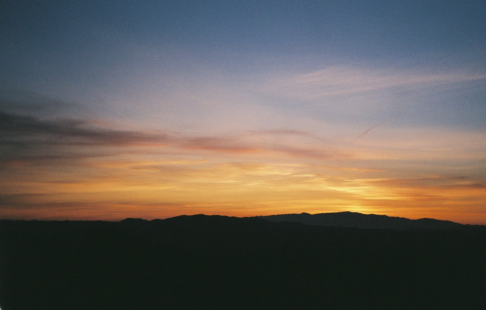
Sunset on the border of Arizona and New Mexico

Duncan Sunset
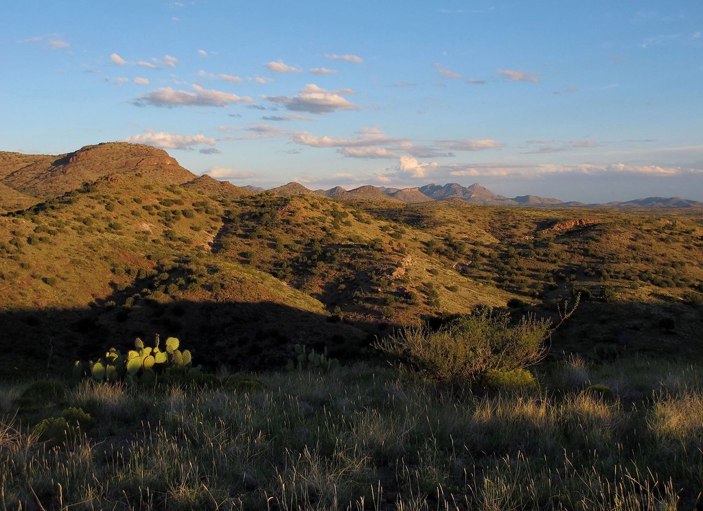
Wild West Landscapes I

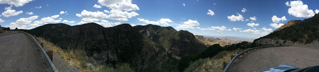
Pano, Highway 78, Apache National Forest

Hwy 78, the Apache National Forest

Hwy 78, the Apache National Forest

Gila National Forest pano #motorcycling #motorcycling #motorcycles #newmexico

Duckweed on pond on old ranch near Mule Cr, NM_Nov 2014

Birdwing Grasshopper (Schistocerca obscura)_near Mule Cr, NM_Nov 2014

Grasshoppers mating 2_near Mule Cr, NM_Nov 2014
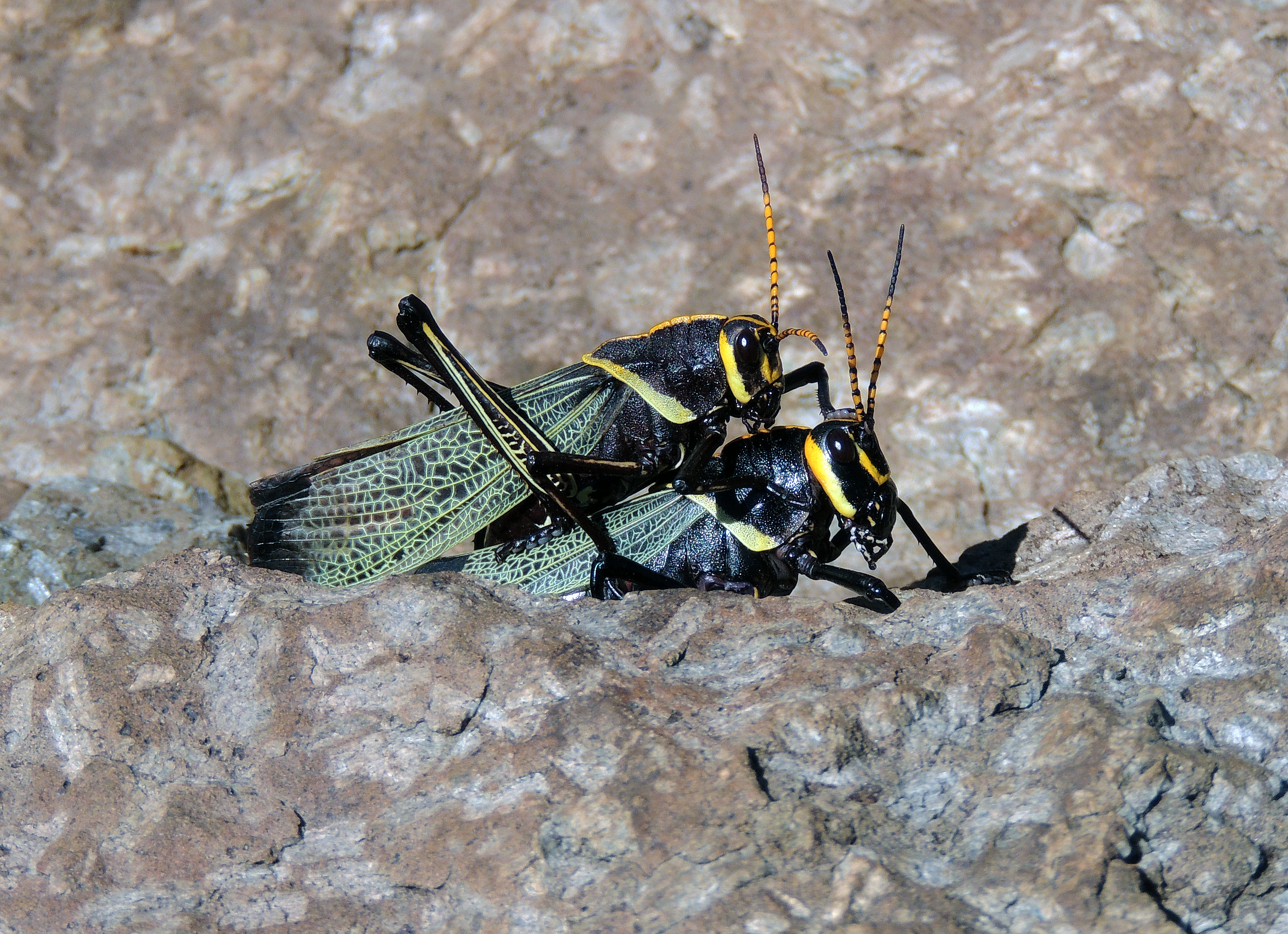
Grasshoppers mating_near Mule Cr, NM_Nov 2014

Dwarf Vervain (Glandularia pumila)_near Mule Cr NM_Nov 2014
West side of AZ-78

Apache National Forest, on Devil's Highway, Arizona

Devils Highway, Arizona

Panorama, Devil's Highway, Arizona
Mule Creek Road
All South West USA in One Shot...
Mule Creek Road
Mule Creek Road
HWY 78

Day 20
アメリカ合衆国 〒 ニューメキシコ州 イエロージャケット・ピークの地図
別の場所を検索
近所の場所
アメリカ合衆国 〒 ニューメキシコ州 ティリー・ホール・ピーク
アメリカ合衆国 〒 ニューメキシコ州 ウィンチェスター・ピーク
アメリカ合衆国 〒 ニューメキシコ州 ブラッシー山
アメリカ合衆国 〒 ニューメキシコ州 マクマレン・ピーク
アメリカ合衆国 〒 ニューメキシコ州 クルックソン・ピーク
アメリカ合衆国 〒 ニューメキシコ州 サドルバック山
アメリカ合衆国 〒 ニューメキシコ州 サミット・ピーク
アメリカ合衆国 〒 ニューメキシコ州 ヴァンダービルト・ピーク
アメリカ合衆国 〒 ニューメキシコ州 ディアー・ピーク
アメリカ合衆国 〒 ニューメキシコ州 ドライ・セクション山
アメリカ合衆国 〒 ニューメキシコ州 アップルゲート山
アメリカ合衆国 〒 ニューメキシコ州 ミュール・クリーク
アメリカ合衆国 〒 ニューメキシコ州 ミュール・マウンテンズ HP
アメリカ合衆国 〒 アリゾナ州 ガスリー
Bobcat Dr, Clifton, AZ アメリカ合衆国
アメリカ合衆国 〒 ニューメキシコ州 アウトロー山
アメリカ合衆国 〒 アリゾナ州 ダンカン
New Mexico, アメリカ合衆国Aldo Leopold Vista Picnic Area (recgovnpsdata)
アメリカ合衆国 〒 ニューメキシコ州 サンダイアル山
アメリカ合衆国 〒 ニューメキシコ州 バックホーン
最近の検索
- アメリカ合衆国 アラスカ州 レッド・ドッグ・マイン日の出日の入り時間
- Am bhf, Borken, ドイツアム・バーンホーフ日の出日の入り時間
- 4th St E, Sonoma, CA, USA日の出日の入り時間
- Oakland Ave, Williamsport, PA アメリカ合衆国日の出日の入り時間
- Via Roma, Pieranica CR, イタリアローマ通り日の出日の入り時間
- クロアチア 〒 ドゥブロブニク GradClock Tower of Dubrovnik日の出日の入り時間
- アルゼンチン チュブ州 トレリュー日の出日の入り時間
- Hartfords Bluff Cir, Mt Pleasant, SC アメリカ合衆国日の出日の入り時間
- 日本、熊本県熊本市北区日の出日の入り時間
- 中華人民共和国 福州市 平潭県 平潭島日の出日の入り時間