Yellowjacket Peak, New Mexico, USA Sonnenaufgang Sonnenuntergang Zeiten
Location: USA > New Mexico > Mule Creek >
Zeitzone:
America/Denver
Ortszeit:
2025-06-18 04:25:28
Länge:
-109.0036741
Breite:
32.9664566
Sonnenaufgang Heute:
06:07:29 AM
Sonnenuntergang Heute:
08:27:11 PM
Tageslänge heute:
14h 19m 42s
Sonnenaufgang morgen:
06:07:40 AM
Sonnenuntergang Morgen:
08:27:27 PM
Tageslänge von morgen:
14h 19m 47s
Alle Termine anzeigen
| Datum | Sonnenaufgang | Sonnenuntergang | Tageslänge |
|---|---|---|---|
| 2025-01-01 | 07:19:04 AM | 05:21:20 PM | 10h 2m 16s |
| 2025-01-02 | 07:19:14 AM | 05:22:06 PM | 10h 2m 52s |
| 2025-01-03 | 07:19:21 AM | 05:22:53 PM | 10h 3m 32s |
| 2025-01-04 | 07:19:26 AM | 05:23:41 PM | 10h 4m 15s |
| 2025-01-05 | 07:19:30 AM | 05:24:30 PM | 10h 5m 0s |
| 2025-01-06 | 07:19:32 AM | 05:25:19 PM | 10h 5m 47s |
| 2025-01-07 | 07:19:32 AM | 05:26:10 PM | 10h 6m 38s |
| 2025-01-08 | 07:19:31 AM | 05:27:01 PM | 10h 7m 30s |
| 2025-01-09 | 07:19:27 AM | 05:27:53 PM | 10h 8m 26s |
| 2025-01-10 | 07:19:22 AM | 05:28:45 PM | 10h 9m 23s |
| 2025-01-11 | 07:19:15 AM | 05:29:39 PM | 10h 10m 24s |
| 2025-01-12 | 07:19:06 AM | 05:30:32 PM | 10h 11m 26s |
| 2025-01-13 | 07:18:55 AM | 05:31:27 PM | 10h 12m 32s |
| 2025-01-14 | 07:18:43 AM | 05:32:21 PM | 10h 13m 38s |
| 2025-01-15 | 07:18:28 AM | 05:33:17 PM | 10h 14m 49s |
| 2025-01-16 | 07:18:12 AM | 05:34:12 PM | 10h 16m 0s |
| 2025-01-17 | 07:17:54 AM | 05:35:08 PM | 10h 17m 14s |
| 2025-01-18 | 07:17:35 AM | 05:36:04 PM | 10h 18m 29s |
| 2025-01-19 | 07:17:13 AM | 05:37:01 PM | 10h 19m 48s |
| 2025-01-20 | 07:16:50 AM | 05:37:57 PM | 10h 21m 7s |
| 2025-01-21 | 07:16:25 AM | 05:38:54 PM | 10h 22m 29s |
| 2025-01-22 | 07:15:59 AM | 05:39:51 PM | 10h 23m 52s |
| 2025-01-23 | 07:15:31 AM | 05:40:48 PM | 10h 25m 17s |
| 2025-01-24 | 07:15:01 AM | 05:41:46 PM | 10h 26m 45s |
| 2025-01-25 | 07:14:29 AM | 05:42:43 PM | 10h 28m 14s |
| 2025-01-26 | 07:13:56 AM | 05:43:40 PM | 10h 29m 44s |
| 2025-01-27 | 07:13:21 AM | 05:44:38 PM | 10h 31m 17s |
| 2025-01-28 | 07:12:45 AM | 05:45:35 PM | 10h 32m 50s |
| 2025-01-29 | 07:12:07 AM | 05:46:32 PM | 10h 34m 25s |
| 2025-01-30 | 07:11:28 AM | 05:47:29 PM | 10h 36m 1s |
| 2025-01-31 | 07:10:47 AM | 05:48:26 PM | 10h 37m 39s |
| 2025-02-01 | 07:10:04 AM | 05:49:23 PM | 10h 39m 19s |
| 2025-02-02 | 07:09:20 AM | 05:50:20 PM | 10h 41m 0s |
| 2025-02-03 | 07:08:35 AM | 05:51:16 PM | 10h 42m 41s |
| 2025-02-04 | 07:07:48 AM | 05:52:12 PM | 10h 44m 24s |
| 2025-02-05 | 07:07:00 AM | 05:53:08 PM | 10h 46m 8s |
| 2025-02-06 | 07:06:11 AM | 05:54:04 PM | 10h 47m 53s |
| 2025-02-07 | 07:05:20 AM | 05:55:00 PM | 10h 49m 40s |
| 2025-02-08 | 07:04:28 AM | 05:55:55 PM | 10h 51m 27s |
| 2025-02-09 | 07:03:34 AM | 05:56:50 PM | 10h 53m 16s |
| 2025-02-10 | 07:02:40 AM | 05:57:45 PM | 10h 55m 5s |
| 2025-02-11 | 07:01:44 AM | 05:58:39 PM | 10h 56m 55s |
| 2025-02-12 | 07:00:47 AM | 05:59:33 PM | 10h 58m 46s |
| 2025-02-13 | 06:59:49 AM | 06:00:27 PM | 11h 0m 38s |
| 2025-02-14 | 06:58:49 AM | 06:01:20 PM | 11h 2m 31s |
| 2025-02-15 | 06:57:49 AM | 06:02:13 PM | 11h 4m 24s |
| 2025-02-16 | 06:56:48 AM | 06:03:06 PM | 11h 6m 18s |
| 2025-02-17 | 06:55:45 AM | 06:03:58 PM | 11h 8m 13s |
| 2025-02-18 | 06:54:42 AM | 06:04:50 PM | 11h 10m 8s |
| 2025-02-19 | 06:53:37 AM | 06:05:42 PM | 11h 12m 5s |
| 2025-02-20 | 06:52:32 AM | 06:06:33 PM | 11h 14m 1s |
| 2025-02-21 | 06:51:26 AM | 06:07:24 PM | 11h 15m 58s |
| 2025-02-22 | 06:50:19 AM | 06:08:15 PM | 11h 17m 56s |
| 2025-02-23 | 06:49:11 AM | 06:09:05 PM | 11h 19m 54s |
| 2025-02-24 | 06:48:02 AM | 06:09:55 PM | 11h 21m 53s |
| 2025-02-25 | 06:46:52 AM | 06:10:44 PM | 11h 23m 52s |
| 2025-02-26 | 06:45:42 AM | 06:11:33 PM | 11h 25m 51s |
| 2025-02-27 | 06:44:31 AM | 06:12:22 PM | 11h 27m 51s |
| 2025-02-28 | 06:43:19 AM | 06:13:11 PM | 11h 29m 52s |
| 2025-03-01 | 06:42:07 AM | 06:13:59 PM | 11h 31m 52s |
| 2025-03-02 | 06:40:54 AM | 06:14:47 PM | 11h 33m 53s |
| 2025-03-03 | 06:39:40 AM | 06:15:34 PM | 11h 35m 54s |
| 2025-03-04 | 06:38:26 AM | 06:16:21 PM | 11h 37m 55s |
| 2025-03-05 | 06:37:11 AM | 06:17:08 PM | 11h 39m 57s |
| 2025-03-06 | 06:35:56 AM | 06:17:55 PM | 11h 41m 59s |
| 2025-03-07 | 06:34:40 AM | 06:18:41 PM | 11h 44m 1s |
| 2025-03-08 | 06:33:24 AM | 06:19:27 PM | 11h 46m 3s |
| 2025-03-09 | 07:32:10 AM | 07:20:11 PM | 11h 48m 1s |
| 2025-03-10 | 07:30:53 AM | 07:20:57 PM | 11h 50m 4s |
| 2025-03-11 | 07:29:36 AM | 07:21:42 PM | 11h 52m 6s |
| 2025-03-12 | 07:28:18 AM | 07:22:27 PM | 11h 54m 9s |
| 2025-03-13 | 07:27:00 AM | 07:23:12 PM | 11h 56m 12s |
| 2025-03-14 | 07:25:42 AM | 07:23:57 PM | 11h 58m 15s |
| 2025-03-15 | 07:24:23 AM | 07:24:41 PM | 12h 0m 18s |
| 2025-03-16 | 07:23:05 AM | 07:25:26 PM | 12h 2m 21s |
| 2025-03-17 | 07:21:46 AM | 07:26:10 PM | 12h 4m 24s |
| 2025-03-18 | 07:20:27 AM | 07:26:54 PM | 12h 6m 27s |
| 2025-03-19 | 07:19:07 AM | 07:27:38 PM | 12h 8m 31s |
| 2025-03-20 | 07:17:48 AM | 07:28:21 PM | 12h 10m 33s |
| 2025-03-21 | 07:16:29 AM | 07:29:05 PM | 12h 12m 36s |
| 2025-03-22 | 07:15:09 AM | 07:29:48 PM | 12h 14m 39s |
| 2025-03-23 | 07:13:50 AM | 07:30:32 PM | 12h 16m 42s |
| 2025-03-24 | 07:12:30 AM | 07:31:15 PM | 12h 18m 45s |
| 2025-03-25 | 07:11:11 AM | 07:31:58 PM | 12h 20m 47s |
| 2025-03-26 | 07:09:52 AM | 07:32:41 PM | 12h 22m 49s |
| 2025-03-27 | 07:08:33 AM | 07:33:24 PM | 12h 24m 51s |
| 2025-03-28 | 07:07:14 AM | 07:34:07 PM | 12h 26m 53s |
| 2025-03-29 | 07:05:55 AM | 07:34:50 PM | 12h 28m 55s |
| 2025-03-30 | 07:04:36 AM | 07:35:33 PM | 12h 30m 57s |
| 2025-03-31 | 07:03:17 AM | 07:36:16 PM | 12h 32m 59s |
| 2025-04-01 | 07:01:59 AM | 07:36:59 PM | 12h 35m 0s |
| 2025-04-02 | 07:00:41 AM | 07:37:42 PM | 12h 37m 1s |
| 2025-04-03 | 06:59:23 AM | 07:38:24 PM | 12h 39m 1s |
| 2025-04-04 | 06:58:06 AM | 07:39:07 PM | 12h 41m 1s |
| 2025-04-05 | 06:56:49 AM | 07:39:50 PM | 12h 43m 1s |
| 2025-04-06 | 06:55:33 AM | 07:40:33 PM | 12h 45m 0s |
| 2025-04-07 | 06:54:16 AM | 07:41:16 PM | 12h 47m 0s |
| 2025-04-08 | 06:53:01 AM | 07:41:59 PM | 12h 48m 58s |
| 2025-04-09 | 06:51:45 AM | 07:42:43 PM | 12h 50m 58s |
| 2025-04-10 | 06:50:31 AM | 07:43:26 PM | 12h 52m 55s |
| 2025-04-11 | 06:49:16 AM | 07:44:09 PM | 12h 54m 53s |
| 2025-04-12 | 06:48:03 AM | 07:44:52 PM | 12h 56m 49s |
| 2025-04-13 | 06:46:50 AM | 07:45:36 PM | 12h 58m 46s |
| 2025-04-14 | 06:45:37 AM | 07:46:19 PM | 13h 0m 42s |
| 2025-04-15 | 06:44:25 AM | 07:47:03 PM | 13h 2m 38s |
| 2025-04-16 | 06:43:14 AM | 07:47:47 PM | 13h 4m 33s |
| 2025-04-17 | 06:42:04 AM | 07:48:30 PM | 13h 6m 26s |
| 2025-04-18 | 06:40:54 AM | 07:49:14 PM | 13h 8m 20s |
| 2025-04-19 | 06:39:45 AM | 07:49:58 PM | 13h 10m 13s |
| 2025-04-20 | 06:38:37 AM | 07:50:42 PM | 13h 12m 5s |
| 2025-04-21 | 06:37:29 AM | 07:51:26 PM | 13h 13m 57s |
| 2025-04-22 | 06:36:23 AM | 07:52:10 PM | 13h 15m 47s |
| 2025-04-23 | 06:35:17 AM | 07:52:55 PM | 13h 17m 38s |
| 2025-04-24 | 06:34:12 AM | 07:53:39 PM | 13h 19m 27s |
| 2025-04-25 | 06:33:08 AM | 07:54:23 PM | 13h 21m 15s |
| 2025-04-26 | 06:32:05 AM | 07:55:08 PM | 13h 23m 3s |
| 2025-04-27 | 06:31:03 AM | 07:55:52 PM | 13h 24m 49s |
| 2025-04-28 | 06:30:02 AM | 07:56:37 PM | 13h 26m 35s |
| 2025-04-29 | 06:29:02 AM | 07:57:21 PM | 13h 28m 19s |
| 2025-04-30 | 06:28:03 AM | 07:58:06 PM | 13h 30m 3s |
| 2025-05-01 | 06:27:05 AM | 07:58:51 PM | 13h 31m 46s |
| 2025-05-02 | 06:26:08 AM | 07:59:35 PM | 13h 33m 27s |
| 2025-05-03 | 06:25:13 AM | 08:00:20 PM | 13h 35m 7s |
| 2025-05-04 | 06:24:18 AM | 08:01:04 PM | 13h 36m 46s |
| 2025-05-05 | 06:23:25 AM | 08:01:49 PM | 13h 38m 24s |
| 2025-05-06 | 06:22:33 AM | 08:02:33 PM | 13h 40m 0s |
| 2025-05-07 | 06:21:42 AM | 08:03:18 PM | 13h 41m 36s |
| 2025-05-08 | 06:20:52 AM | 08:04:02 PM | 13h 43m 10s |
| 2025-05-09 | 06:20:04 AM | 08:04:46 PM | 13h 44m 42s |
| 2025-05-10 | 06:19:16 AM | 08:05:30 PM | 13h 46m 14s |
| 2025-05-11 | 06:18:31 AM | 08:06:14 PM | 13h 47m 43s |
| 2025-05-12 | 06:17:46 AM | 08:06:58 PM | 13h 49m 12s |
| 2025-05-13 | 06:17:03 AM | 08:07:41 PM | 13h 50m 38s |
| 2025-05-14 | 06:16:21 AM | 08:08:24 PM | 13h 52m 3s |
| 2025-05-15 | 06:15:40 AM | 08:09:07 PM | 13h 53m 27s |
| 2025-05-16 | 06:15:01 AM | 08:09:50 PM | 13h 54m 49s |
| 2025-05-17 | 06:14:24 AM | 08:10:32 PM | 13h 56m 8s |
| 2025-05-18 | 06:13:48 AM | 08:11:14 PM | 13h 57m 26s |
| 2025-05-19 | 06:13:13 AM | 08:11:56 PM | 13h 58m 43s |
| 2025-05-20 | 06:12:39 AM | 08:12:38 PM | 13h 59m 59s |
| 2025-05-21 | 06:12:08 AM | 08:13:18 PM | 14h 1m 10s |
| 2025-05-22 | 06:11:37 AM | 08:13:59 PM | 14h 2m 22s |
| 2025-05-23 | 06:11:08 AM | 08:14:39 PM | 14h 3m 31s |
| 2025-05-24 | 06:10:41 AM | 08:15:18 PM | 14h 4m 37s |
| 2025-05-25 | 06:10:15 AM | 08:15:57 PM | 14h 5m 42s |
| 2025-05-26 | 06:09:51 AM | 08:16:36 PM | 14h 6m 45s |
| 2025-05-27 | 06:09:28 AM | 08:17:13 PM | 14h 7m 45s |
| 2025-05-28 | 06:09:07 AM | 08:17:50 PM | 14h 8m 43s |
| 2025-05-29 | 06:08:47 AM | 08:18:27 PM | 14h 9m 40s |
| 2025-05-30 | 06:08:29 AM | 08:19:02 PM | 14h 10m 33s |
| 2025-05-31 | 06:08:13 AM | 08:19:37 PM | 14h 11m 24s |
| 2025-06-01 | 06:07:58 AM | 08:20:12 PM | 14h 12m 14s |
| 2025-06-02 | 06:07:44 AM | 08:20:45 PM | 14h 13m 1s |
| 2025-06-03 | 06:07:32 AM | 08:21:17 PM | 14h 13m 45s |
| 2025-06-04 | 06:07:22 AM | 08:21:49 PM | 14h 14m 27s |
| 2025-06-05 | 06:07:13 AM | 08:22:20 PM | 14h 15m 7s |
| 2025-06-06 | 06:07:06 AM | 08:22:50 PM | 14h 15m 44s |
| 2025-06-07 | 06:07:00 AM | 08:23:18 PM | 14h 16m 18s |
| 2025-06-08 | 06:06:56 AM | 08:23:46 PM | 14h 16m 50s |
| 2025-06-09 | 06:06:53 AM | 08:24:13 PM | 14h 17m 20s |
| 2025-06-10 | 06:06:52 AM | 08:24:38 PM | 14h 17m 46s |
| 2025-06-11 | 06:06:52 AM | 08:25:03 PM | 14h 18m 11s |
| 2025-06-12 | 06:06:54 AM | 08:25:26 PM | 14h 18m 32s |
| 2025-06-13 | 06:06:57 AM | 08:25:48 PM | 14h 18m 51s |
| 2025-06-14 | 06:07:02 AM | 08:26:09 PM | 14h 19m 7s |
| 2025-06-15 | 06:07:08 AM | 08:26:29 PM | 14h 19m 21s |
| 2025-06-16 | 06:07:16 AM | 08:26:47 PM | 14h 19m 31s |
| 2025-06-17 | 06:07:24 AM | 08:27:05 PM | 14h 19m 41s |
| 2025-06-18 | 06:07:35 AM | 08:27:20 PM | 14h 19m 45s |
| 2025-06-19 | 06:07:46 AM | 08:27:35 PM | 14h 19m 49s |
| 2025-06-20 | 06:07:59 AM | 08:27:48 PM | 14h 19m 49s |
| 2025-06-21 | 06:08:14 AM | 08:28:00 PM | 14h 19m 46s |
| 2025-06-22 | 06:08:29 AM | 08:28:10 PM | 14h 19m 41s |
| 2025-06-23 | 06:08:46 AM | 08:28:19 PM | 14h 19m 33s |
| 2025-06-24 | 06:09:04 AM | 08:28:26 PM | 14h 19m 22s |
| 2025-06-25 | 06:09:24 AM | 08:28:32 PM | 14h 19m 8s |
| 2025-06-26 | 06:09:44 AM | 08:28:37 PM | 14h 18m 53s |
| 2025-06-27 | 06:10:06 AM | 08:28:40 PM | 14h 18m 34s |
| 2025-06-28 | 06:10:28 AM | 08:28:41 PM | 14h 18m 13s |
| 2025-06-29 | 06:10:52 AM | 08:28:41 PM | 14h 17m 49s |
| 2025-06-30 | 06:11:17 AM | 08:28:40 PM | 14h 17m 23s |
| 2025-07-01 | 06:11:43 AM | 08:28:36 PM | 14h 16m 53s |
| 2025-07-02 | 06:12:10 AM | 08:28:32 PM | 14h 16m 22s |
| 2025-07-03 | 06:12:37 AM | 08:28:25 PM | 14h 15m 48s |
| 2025-07-04 | 06:13:06 AM | 08:28:17 PM | 14h 15m 11s |
| 2025-07-05 | 06:13:36 AM | 08:28:08 PM | 14h 14m 32s |
| 2025-07-06 | 06:14:06 AM | 08:27:57 PM | 14h 13m 51s |
| 2025-07-07 | 06:14:37 AM | 08:27:44 PM | 14h 13m 7s |
| 2025-07-08 | 06:15:09 AM | 08:27:30 PM | 14h 12m 21s |
| 2025-07-09 | 06:15:42 AM | 08:27:14 PM | 14h 11m 32s |
| 2025-07-10 | 06:16:15 AM | 08:26:56 PM | 14h 10m 41s |
| 2025-07-11 | 06:16:50 AM | 08:26:37 PM | 14h 9m 47s |
| 2025-07-12 | 06:17:24 AM | 08:26:17 PM | 14h 8m 53s |
| 2025-07-13 | 06:18:00 AM | 08:25:54 PM | 14h 7m 54s |
| 2025-07-14 | 06:18:36 AM | 08:25:31 PM | 14h 6m 55s |
| 2025-07-15 | 06:19:12 AM | 08:25:05 PM | 14h 5m 53s |
| 2025-07-16 | 06:19:49 AM | 08:24:38 PM | 14h 4m 49s |
| 2025-07-17 | 06:20:27 AM | 08:24:10 PM | 14h 3m 43s |
| 2025-07-18 | 06:21:05 AM | 08:23:40 PM | 14h 2m 35s |
| 2025-07-19 | 06:21:43 AM | 08:23:08 PM | 14h 1m 25s |
| 2025-07-20 | 06:22:22 AM | 08:22:35 PM | 14h 0m 13s |
| 2025-07-21 | 06:23:01 AM | 08:22:01 PM | 13h 59m 0s |
| 2025-07-22 | 06:23:40 AM | 08:21:25 PM | 13h 57m 45s |
| 2025-07-23 | 06:24:20 AM | 08:20:47 PM | 13h 56m 27s |
| 2025-07-24 | 06:25:00 AM | 08:20:08 PM | 13h 55m 8s |
| 2025-07-25 | 06:25:40 AM | 08:19:28 PM | 13h 53m 48s |
| 2025-07-26 | 06:26:21 AM | 08:18:46 PM | 13h 52m 25s |
| 2025-07-27 | 06:27:01 AM | 08:18:03 PM | 13h 51m 2s |
| 2025-07-28 | 06:27:42 AM | 08:17:18 PM | 13h 49m 36s |
| 2025-07-29 | 06:28:23 AM | 08:16:32 PM | 13h 48m 9s |
| 2025-07-30 | 06:29:04 AM | 08:15:45 PM | 13h 46m 41s |
| 2025-07-31 | 06:29:46 AM | 08:14:56 PM | 13h 45m 10s |
| 2025-08-01 | 06:30:27 AM | 08:14:06 PM | 13h 43m 39s |
| 2025-08-02 | 06:31:08 AM | 08:13:15 PM | 13h 42m 7s |
| 2025-08-03 | 06:31:50 AM | 08:12:23 PM | 13h 40m 33s |
| 2025-08-04 | 06:32:31 AM | 08:11:29 PM | 13h 38m 58s |
| 2025-08-05 | 06:33:13 AM | 08:10:34 PM | 13h 37m 21s |
| 2025-08-06 | 06:33:54 AM | 08:09:38 PM | 13h 35m 44s |
| 2025-08-07 | 06:34:36 AM | 08:08:41 PM | 13h 34m 5s |
| 2025-08-08 | 06:35:17 AM | 08:07:42 PM | 13h 32m 25s |
| 2025-08-09 | 06:35:58 AM | 08:06:43 PM | 13h 30m 45s |
| 2025-08-10 | 06:36:40 AM | 08:05:42 PM | 13h 29m 2s |
| 2025-08-11 | 06:37:21 AM | 08:04:40 PM | 13h 27m 19s |
| 2025-08-12 | 06:38:02 AM | 08:03:38 PM | 13h 25m 36s |
| 2025-08-13 | 06:38:43 AM | 08:02:34 PM | 13h 23m 51s |
| 2025-08-14 | 06:39:24 AM | 08:01:29 PM | 13h 22m 5s |
| 2025-08-15 | 06:40:05 AM | 08:00:24 PM | 13h 20m 19s |
| 2025-08-16 | 06:40:46 AM | 07:59:17 PM | 13h 18m 31s |
| 2025-08-17 | 06:41:27 AM | 07:58:10 PM | 13h 16m 43s |
| 2025-08-18 | 06:42:07 AM | 07:57:01 PM | 13h 14m 54s |
| 2025-08-19 | 06:42:48 AM | 07:55:52 PM | 13h 13m 4s |
| 2025-08-20 | 06:43:28 AM | 07:54:42 PM | 13h 11m 14s |
| 2025-08-21 | 06:44:08 AM | 07:53:31 PM | 13h 9m 23s |
| 2025-08-22 | 06:44:48 AM | 07:52:20 PM | 13h 7m 32s |
| 2025-08-23 | 06:45:28 AM | 07:51:07 PM | 13h 5m 39s |
| 2025-08-24 | 06:46:08 AM | 07:49:54 PM | 13h 3m 46s |
| 2025-08-25 | 06:46:48 AM | 07:48:41 PM | 13h 1m 53s |
| 2025-08-26 | 06:47:28 AM | 07:47:26 PM | 12h 59m 58s |
| 2025-08-27 | 06:48:07 AM | 07:46:11 PM | 12h 58m 4s |
| 2025-08-28 | 06:48:47 AM | 07:44:56 PM | 12h 56m 9s |
| 2025-08-29 | 06:49:26 AM | 07:43:39 PM | 12h 54m 13s |
| 2025-08-30 | 06:50:05 AM | 07:42:23 PM | 12h 52m 18s |
| 2025-08-31 | 06:50:45 AM | 07:41:05 PM | 12h 50m 20s |
| 2025-09-01 | 06:51:24 AM | 07:39:48 PM | 12h 48m 24s |
| 2025-09-02 | 06:52:03 AM | 07:38:29 PM | 12h 46m 26s |
| 2025-09-03 | 06:52:42 AM | 07:37:11 PM | 12h 44m 29s |
| 2025-09-04 | 06:53:20 AM | 07:35:52 PM | 12h 42m 32s |
| 2025-09-05 | 06:53:59 AM | 07:34:32 PM | 12h 40m 33s |
| 2025-09-06 | 06:54:38 AM | 07:33:12 PM | 12h 38m 34s |
| 2025-09-07 | 06:55:17 AM | 07:31:52 PM | 12h 36m 35s |
| 2025-09-08 | 06:55:55 AM | 07:30:32 PM | 12h 34m 37s |
| 2025-09-09 | 06:56:34 AM | 07:29:11 PM | 12h 32m 37s |
| 2025-09-10 | 06:57:13 AM | 07:27:50 PM | 12h 30m 37s |
| 2025-09-11 | 06:57:52 AM | 07:26:29 PM | 12h 28m 37s |
| 2025-09-12 | 06:58:30 AM | 07:25:08 PM | 12h 26m 38s |
| 2025-09-13 | 06:59:09 AM | 07:23:46 PM | 12h 24m 37s |
| 2025-09-14 | 06:59:48 AM | 07:22:25 PM | 12h 22m 37s |
| 2025-09-15 | 07:00:27 AM | 07:21:03 PM | 12h 20m 36s |
| 2025-09-16 | 07:01:05 AM | 07:19:41 PM | 12h 18m 36s |
| 2025-09-17 | 07:01:44 AM | 07:18:19 PM | 12h 16m 35s |
| 2025-09-18 | 07:02:23 AM | 07:16:58 PM | 12h 14m 35s |
| 2025-09-19 | 07:03:03 AM | 07:15:36 PM | 12h 12m 33s |
| 2025-09-20 | 07:03:42 AM | 07:14:14 PM | 12h 10m 32s |
| 2025-09-21 | 07:04:21 AM | 07:12:52 PM | 12h 8m 31s |
| 2025-09-22 | 07:05:01 AM | 07:11:31 PM | 12h 6m 30s |
| 2025-09-23 | 07:05:40 AM | 07:10:09 PM | 12h 4m 29s |
| 2025-09-24 | 07:06:20 AM | 07:08:48 PM | 12h 2m 28s |
| 2025-09-25 | 07:07:00 AM | 07:07:27 PM | 12h 0m 27s |
| 2025-09-26 | 07:07:40 AM | 07:06:06 PM | 11h 58m 26s |
| 2025-09-27 | 07:08:21 AM | 07:04:45 PM | 11h 56m 24s |
| 2025-09-28 | 07:09:01 AM | 07:03:24 PM | 11h 54m 23s |
| 2025-09-29 | 07:09:42 AM | 07:02:04 PM | 11h 52m 22s |
| 2025-09-30 | 07:10:23 AM | 07:00:45 PM | 11h 50m 22s |
| 2025-10-01 | 07:11:04 AM | 06:59:25 PM | 11h 48m 21s |
| 2025-10-02 | 07:11:46 AM | 06:58:06 PM | 11h 46m 20s |
| 2025-10-03 | 07:12:28 AM | 06:56:47 PM | 11h 44m 19s |
| 2025-10-04 | 07:13:10 AM | 06:55:29 PM | 11h 42m 19s |
| 2025-10-05 | 07:13:52 AM | 06:54:11 PM | 11h 40m 19s |
| 2025-10-06 | 07:14:35 AM | 06:52:54 PM | 11h 38m 19s |
| 2025-10-07 | 07:15:18 AM | 06:51:37 PM | 11h 36m 19s |
| 2025-10-08 | 07:16:01 AM | 06:50:21 PM | 11h 34m 20s |
| 2025-10-09 | 07:16:45 AM | 06:49:06 PM | 11h 32m 21s |
| 2025-10-10 | 07:17:29 AM | 06:47:51 PM | 11h 30m 22s |
| 2025-10-11 | 07:18:13 AM | 06:46:36 PM | 11h 28m 23s |
| 2025-10-12 | 07:18:58 AM | 06:45:23 PM | 11h 26m 25s |
| 2025-10-13 | 07:19:43 AM | 06:44:10 PM | 11h 24m 27s |
| 2025-10-14 | 07:20:28 AM | 06:42:58 PM | 11h 22m 30s |
| 2025-10-15 | 07:21:14 AM | 06:41:46 PM | 11h 20m 32s |
| 2025-10-16 | 07:22:00 AM | 06:40:36 PM | 11h 18m 36s |
| 2025-10-17 | 07:22:46 AM | 06:39:26 PM | 11h 16m 40s |
| 2025-10-18 | 07:23:33 AM | 06:38:17 PM | 11h 14m 44s |
| 2025-10-19 | 07:24:20 AM | 06:37:09 PM | 11h 12m 49s |
| 2025-10-20 | 07:25:08 AM | 06:36:02 PM | 11h 10m 54s |
| 2025-10-21 | 07:25:56 AM | 06:34:56 PM | 11h 9m 0s |
| 2025-10-22 | 07:26:44 AM | 06:33:50 PM | 11h 7m 6s |
| 2025-10-23 | 07:27:33 AM | 06:32:46 PM | 11h 5m 13s |
| 2025-10-24 | 07:28:22 AM | 06:31:43 PM | 11h 3m 21s |
| 2025-10-25 | 07:29:12 AM | 06:30:41 PM | 11h 1m 29s |
| 2025-10-26 | 07:30:02 AM | 06:29:40 PM | 10h 59m 38s |
| 2025-10-27 | 07:30:52 AM | 06:28:40 PM | 10h 57m 48s |
| 2025-10-28 | 07:31:42 AM | 06:27:42 PM | 10h 56m 0s |
| 2025-10-29 | 07:32:33 AM | 06:26:44 PM | 10h 54m 11s |
| 2025-10-30 | 07:33:25 AM | 06:25:48 PM | 10h 52m 23s |
| 2025-10-31 | 07:34:16 AM | 06:24:53 PM | 10h 50m 37s |
| 2025-11-01 | 07:35:08 AM | 06:23:59 PM | 10h 48m 51s |
| 2025-11-02 | 06:36:03 AM | 05:23:05 PM | 10h 47m 2s |
| 2025-11-03 | 06:36:55 AM | 05:22:14 PM | 10h 45m 19s |
| 2025-11-04 | 06:37:48 AM | 05:21:24 PM | 10h 43m 36s |
| 2025-11-05 | 06:38:42 AM | 05:20:36 PM | 10h 41m 54s |
| 2025-11-06 | 06:39:35 AM | 05:19:49 PM | 10h 40m 14s |
| 2025-11-07 | 06:40:29 AM | 05:19:04 PM | 10h 38m 35s |
| 2025-11-08 | 06:41:22 AM | 05:18:20 PM | 10h 36m 58s |
| 2025-11-09 | 06:42:16 AM | 05:17:38 PM | 10h 35m 22s |
| 2025-11-10 | 06:43:11 AM | 05:16:57 PM | 10h 33m 46s |
| 2025-11-11 | 06:44:05 AM | 05:16:18 PM | 10h 32m 13s |
| 2025-11-12 | 06:44:59 AM | 05:15:40 PM | 10h 30m 41s |
| 2025-11-13 | 06:45:54 AM | 05:15:04 PM | 10h 29m 10s |
| 2025-11-14 | 06:46:49 AM | 05:14:30 PM | 10h 27m 41s |
| 2025-11-15 | 06:47:43 AM | 05:13:57 PM | 10h 26m 14s |
| 2025-11-16 | 06:48:38 AM | 05:13:26 PM | 10h 24m 48s |
| 2025-11-17 | 06:49:32 AM | 05:12:56 PM | 10h 23m 24s |
| 2025-11-18 | 06:50:27 AM | 05:12:29 PM | 10h 22m 2s |
| 2025-11-19 | 06:51:21 AM | 05:12:03 PM | 10h 20m 42s |
| 2025-11-20 | 06:52:16 AM | 05:11:38 PM | 10h 19m 22s |
| 2025-11-21 | 06:53:10 AM | 05:11:16 PM | 10h 18m 6s |
| 2025-11-22 | 06:54:04 AM | 05:10:55 PM | 10h 16m 51s |
| 2025-11-23 | 06:54:58 AM | 05:10:36 PM | 10h 15m 38s |
| 2025-11-24 | 06:55:51 AM | 05:10:19 PM | 10h 14m 28s |
| 2025-11-25 | 06:56:44 AM | 05:10:04 PM | 10h 13m 20s |
| 2025-11-26 | 06:57:37 AM | 05:09:51 PM | 10h 12m 14s |
| 2025-11-27 | 06:58:29 AM | 05:09:39 PM | 10h 11m 10s |
| 2025-11-28 | 06:59:21 AM | 05:09:29 PM | 10h 10m 8s |
| 2025-11-29 | 07:00:12 AM | 05:09:21 PM | 10h 9m 9s |
| 2025-11-30 | 07:01:03 AM | 05:09:15 PM | 10h 8m 12s |
| 2025-12-01 | 07:01:54 AM | 05:09:11 PM | 10h 7m 17s |
| 2025-12-02 | 07:02:43 AM | 05:09:09 PM | 10h 6m 26s |
| 2025-12-03 | 07:03:32 AM | 05:09:08 PM | 10h 5m 36s |
| 2025-12-04 | 07:04:20 AM | 05:09:09 PM | 10h 4m 49s |
| 2025-12-05 | 07:05:08 AM | 05:09:12 PM | 10h 4m 4s |
| 2025-12-06 | 07:05:54 AM | 05:09:17 PM | 10h 3m 23s |
| 2025-12-07 | 07:06:40 AM | 05:09:24 PM | 10h 2m 44s |
| 2025-12-08 | 07:07:25 AM | 05:09:33 PM | 10h 2m 8s |
| 2025-12-09 | 07:08:09 AM | 05:09:43 PM | 10h 1m 34s |
| 2025-12-10 | 07:08:52 AM | 05:09:56 PM | 10h 1m 4s |
| 2025-12-11 | 07:09:34 AM | 05:10:10 PM | 10h 0m 36s |
| 2025-12-12 | 07:10:15 AM | 05:10:25 PM | 10h 0m 10s |
| 2025-12-13 | 07:10:54 AM | 05:10:43 PM | 9h 59m 49s |
| 2025-12-14 | 07:11:33 AM | 05:11:02 PM | 9h 59m 29s |
| 2025-12-15 | 07:12:10 AM | 05:11:23 PM | 9h 59m 13s |
| 2025-12-16 | 07:12:46 AM | 05:11:46 PM | 9h 59m 0s |
| 2025-12-17 | 07:13:21 AM | 05:12:10 PM | 9h 58m 49s |
| 2025-12-18 | 07:13:54 AM | 05:12:36 PM | 9h 58m 42s |
| 2025-12-19 | 07:14:26 AM | 05:13:03 PM | 9h 58m 37s |
| 2025-12-20 | 07:14:57 AM | 05:13:32 PM | 9h 58m 35s |
| 2025-12-21 | 07:15:26 AM | 05:14:03 PM | 9h 58m 37s |
| 2025-12-22 | 07:15:53 AM | 05:14:35 PM | 9h 58m 42s |
| 2025-12-23 | 07:16:20 AM | 05:15:08 PM | 9h 58m 48s |
| 2025-12-24 | 07:16:44 AM | 05:15:43 PM | 9h 58m 59s |
| 2025-12-25 | 07:17:07 AM | 05:16:20 PM | 9h 59m 13s |
| 2025-12-26 | 07:17:29 AM | 05:16:57 PM | 9h 59m 28s |
| 2025-12-27 | 07:17:48 AM | 05:17:36 PM | 9h 59m 48s |
| 2025-12-28 | 07:18:06 AM | 05:18:16 PM | 10h 0m 10s |
| 2025-12-29 | 07:18:23 AM | 05:18:58 PM | 10h 0m 35s |
| 2025-12-30 | 07:18:38 AM | 05:19:40 PM | 10h 1m 2s |
| 2025-12-31 | 07:18:51 AM | 05:20:24 PM | 10h 1m 33s |
Fotos
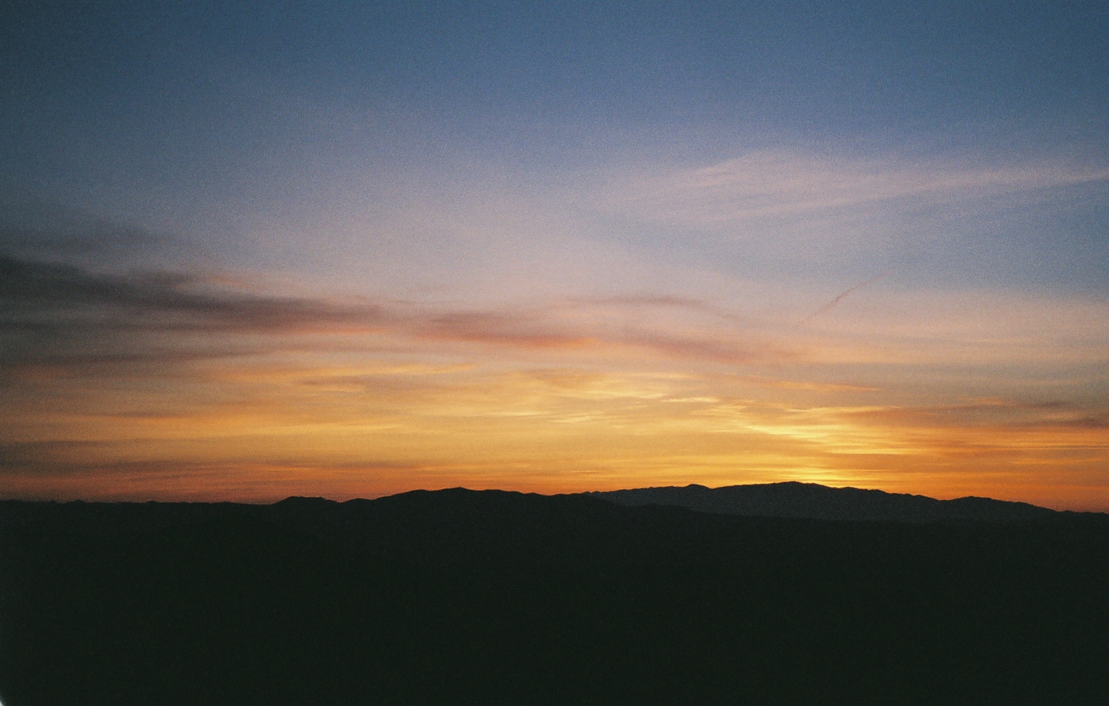
Sunset on the border of Arizona and New Mexico

Duncan Sunset
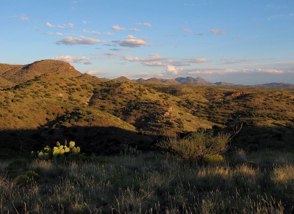
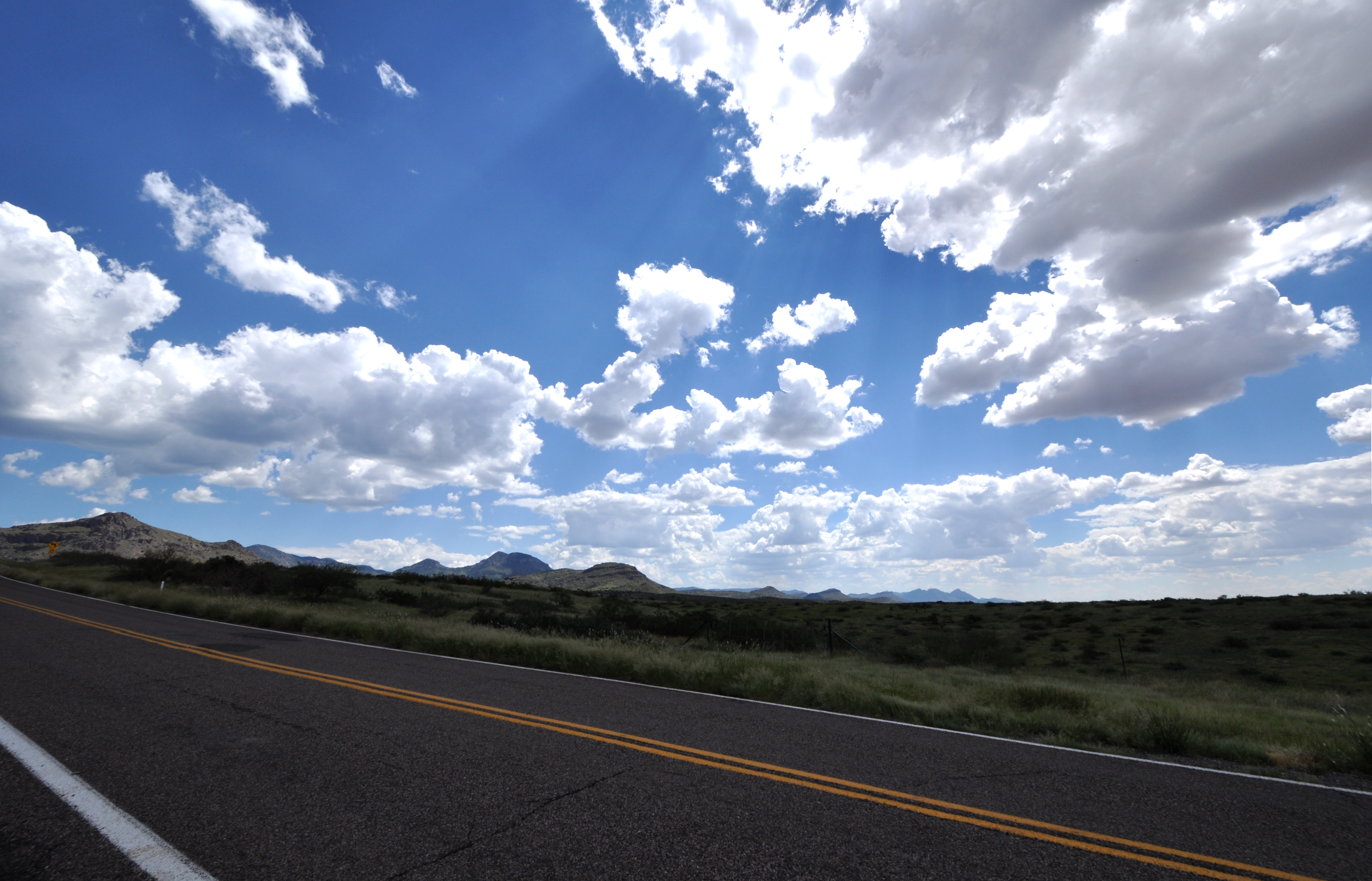
Wild West Landscapes I

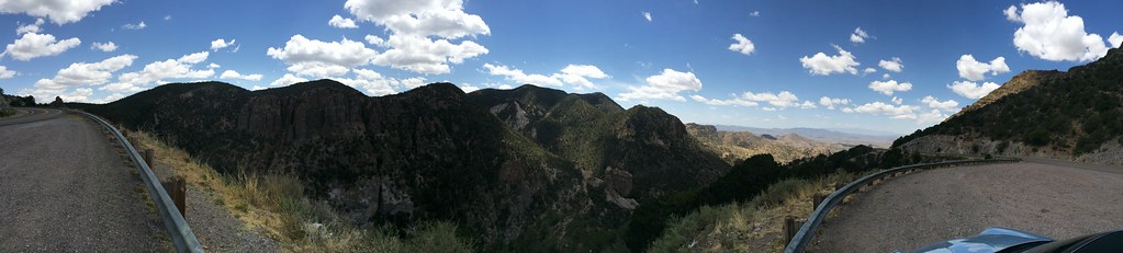
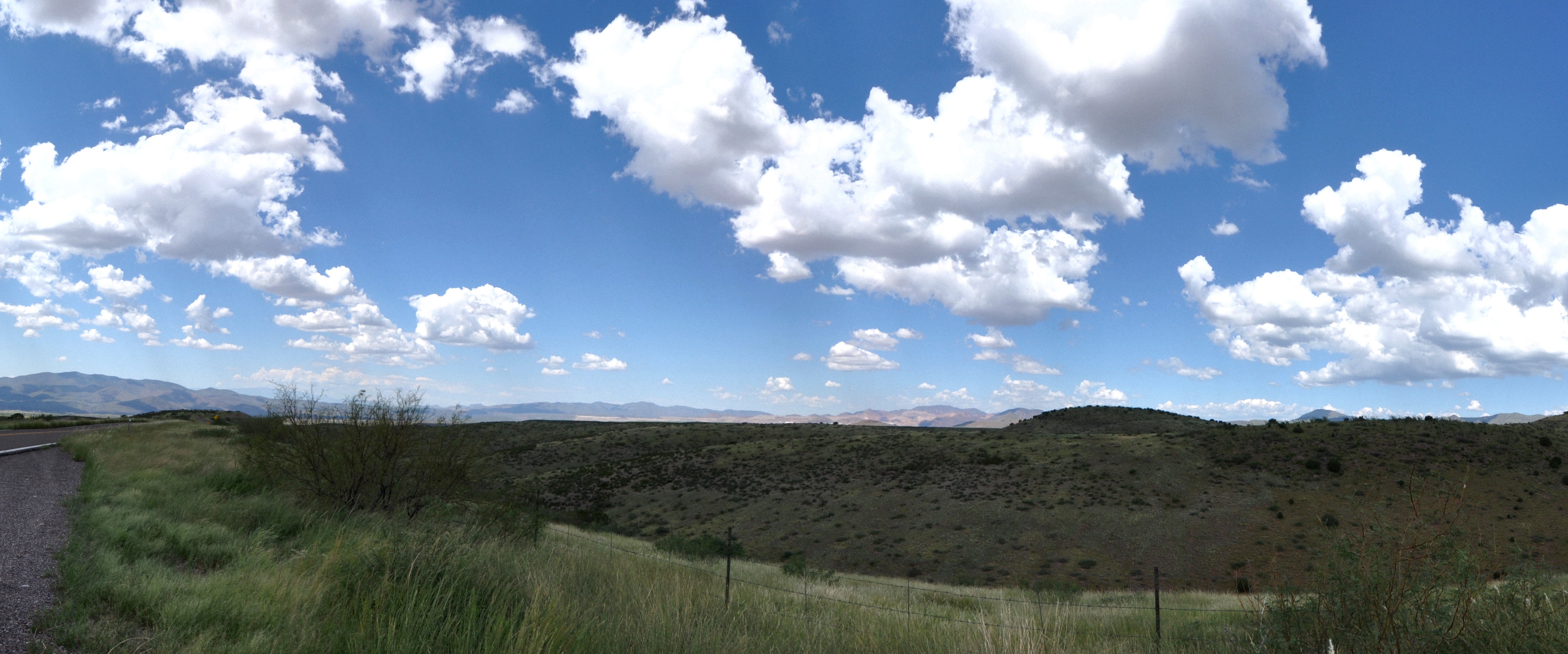
Pano, Highway 78, Apache National Forest

Hwy 78, the Apache National Forest

Hwy 78, the Apache National Forest

Gila National Forest pano #motorcycling #motorcycling #motorcycles #newmexico

Duckweed on pond on old ranch near Mule Cr, NM_Nov 2014

Birdwing Grasshopper (Schistocerca obscura)_near Mule Cr, NM_Nov 2014

Grasshoppers mating 2_near Mule Cr, NM_Nov 2014
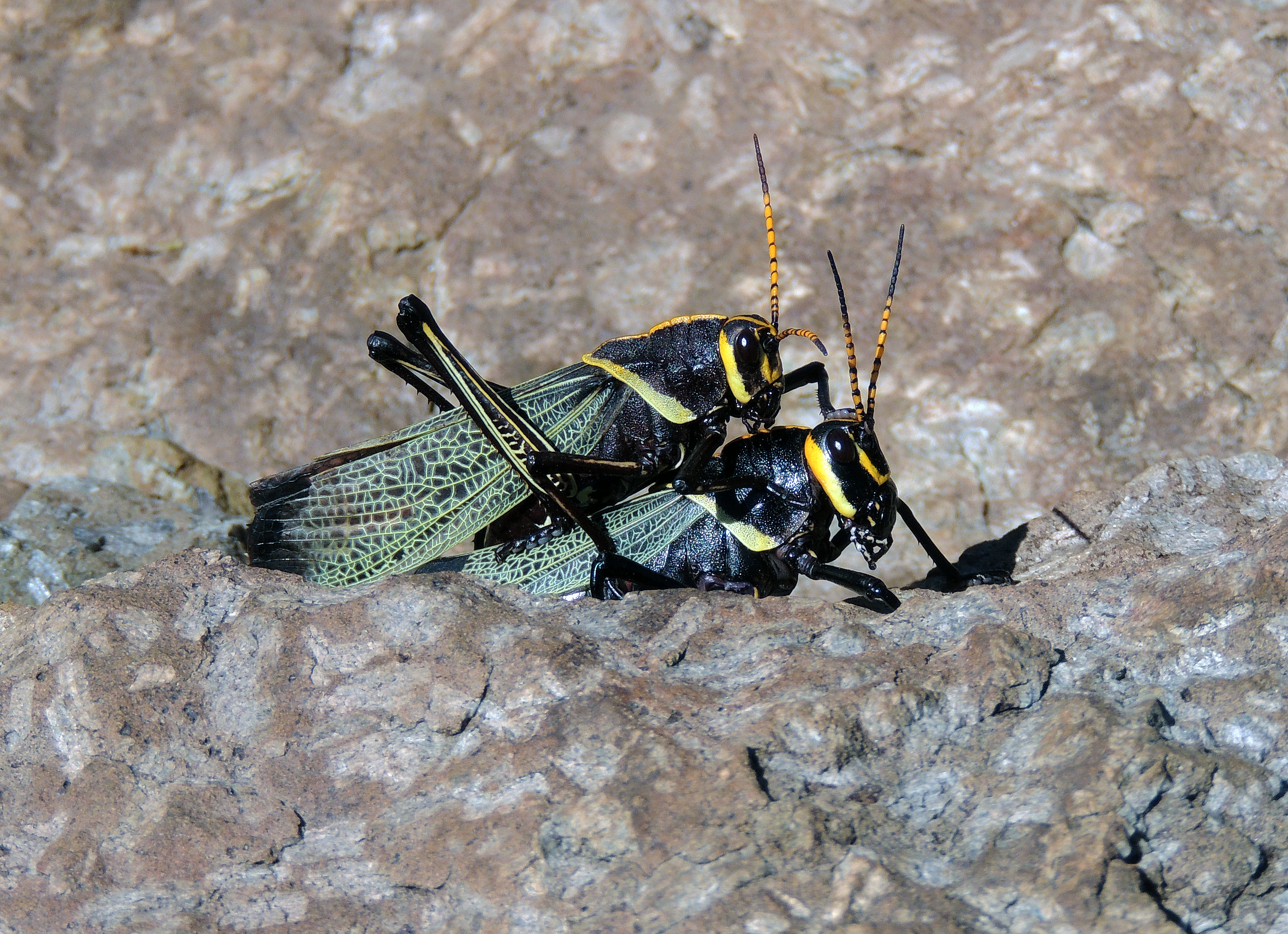
Grasshoppers mating_near Mule Cr, NM_Nov 2014

Dwarf Vervain (Glandularia pumila)_near Mule Cr NM_Nov 2014
West side of AZ-78

Apache National Forest, on Devil's Highway, Arizona

Devils Highway, Arizona

Panorama, Devil's Highway, Arizona
Mule Creek Road
All South West USA in One Shot...
Mule Creek Road
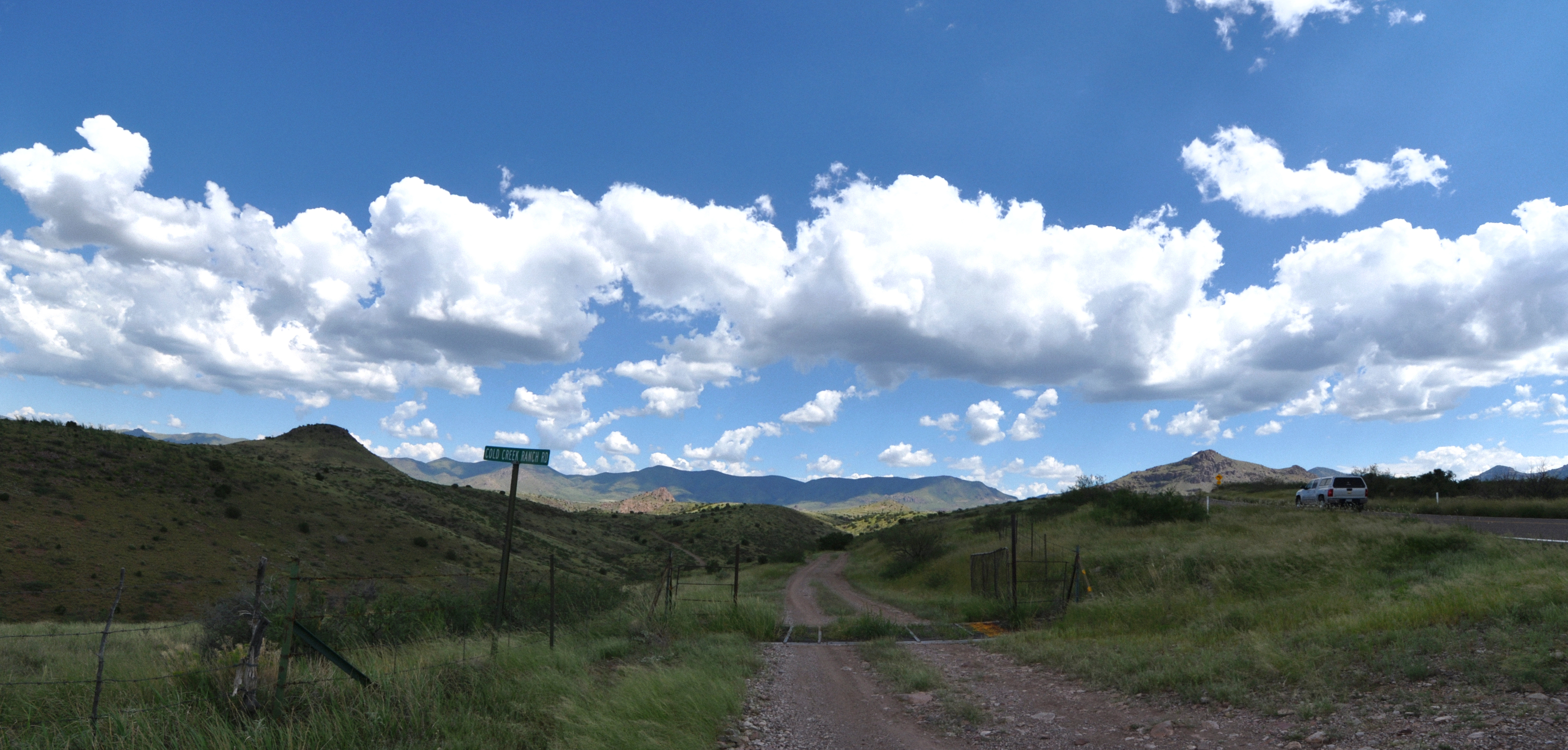
Mule Creek Road
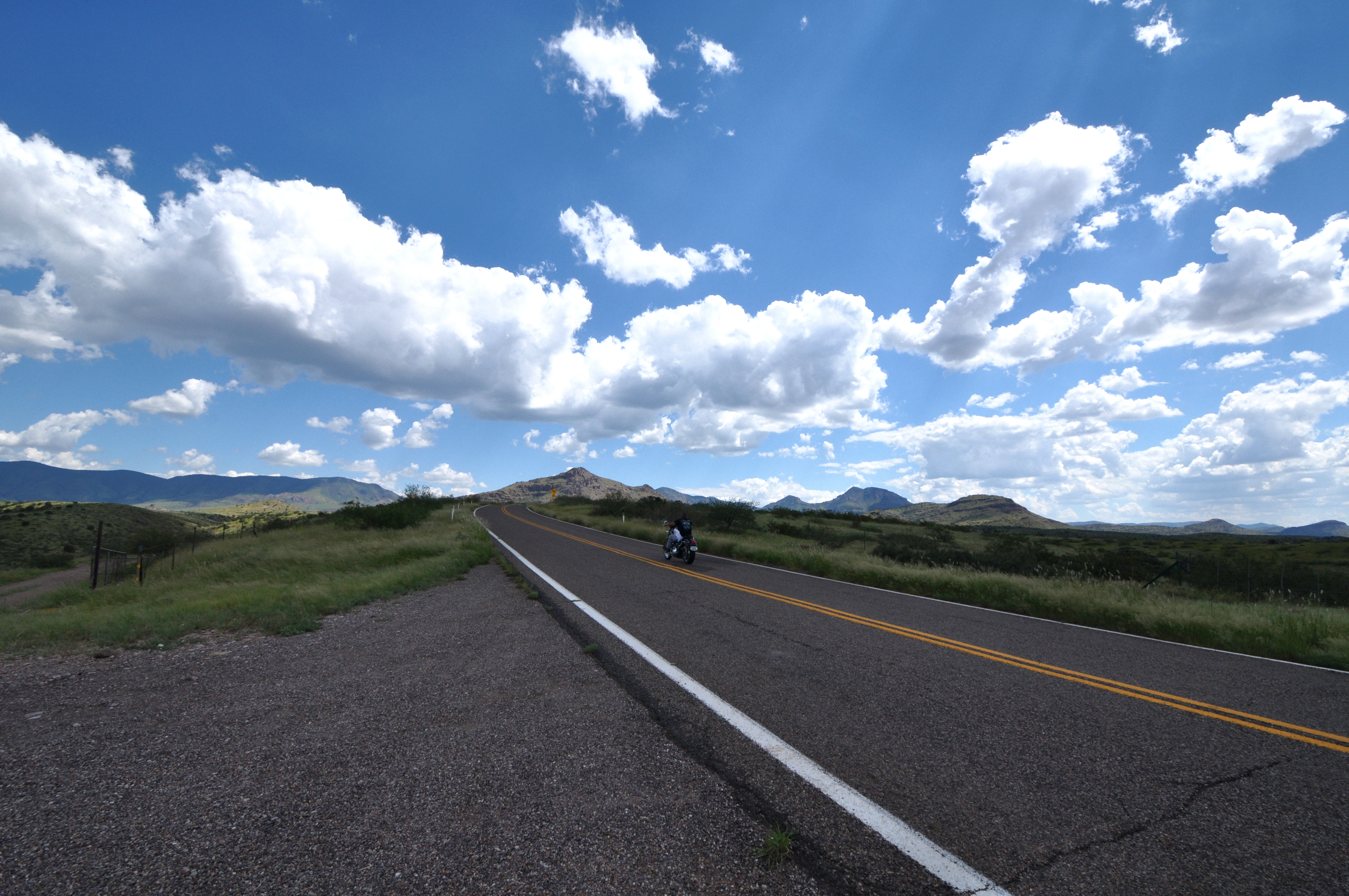
HWY 78

Day 20
Yellowjacket Peak, New Mexico, USA Karte
Suchen Sie einen anderen Ort
Nahe Plätze
Tillie Hall Peak, New Mexico, USA
Winchester Peak, New Mexico, USA
Brushy Mountain, New Mexico, USA
McMullen Peak, New Mexico, USA
Crookson Peak, New Mexico, USA
Saddleback Mountain, New Mexico, USA
Summit Peak, New Mexico, USA
Vanderbilt Peak, New Mexico, USA
Deer Peak, New Mexico, USA
Dry Section Mountain, New Mexico, USA
Applegate Mountain, New Mexico, USA
Mule Creek, NM, USA
Mule Mountains HP, New Mexico, USA
Guthrie, AZ, USA
Bobcat Dr, Clifton, AZ, USA
Outlaw Mountain, New Mexico, USA
Duncan, Arizona, USA
Aldo Leopold Vista Picnic Area (recgovnpsdata), New Mexico, Vereinigte Staaten
Sundial Mountain, New Mexico, USA
Buckhorn, NM, USA
Letzte Suche
- Red Dog Mine, AK, USA Sonnenaufgang Sonnenuntergang Zeiten
- Am Bahnhof, Am bhf, Borken, Germany Sonnenaufgang Sonnenuntergang Zeiten
- 4th St E, Sonoma, CA, USA Sonnenaufgang Sonnenuntergang Zeiten
- Oakland Ave, Williamsport, PA, USA Sonnenaufgang Sonnenuntergang Zeiten
- Via Roma, Pieranica CR, Italien Sonnenaufgang Sonnenuntergang Zeiten
- Glockenturm, Grad, Dubrovnik, Kroatien Sonnenaufgang Sonnenuntergang Zeiten
- Trelew, Chubut Province, Argentina Sonnenaufgang Sonnenuntergang Zeiten
- Hartfords Bluff Cir, Mt Pleasant, SC, USA Sonnenaufgang Sonnenuntergang Zeiten
- Kita-ku, Kumamoto, Präfektur Kumamoto, Japan Sonnenaufgang Sonnenuntergang Zeiten
- Pingtan Island, Pingtan County, Fuzhou, China Sonnenaufgang Sonnenuntergang Zeiten