アメリカ合衆国 〒 メリーランド州 ホイービル日の出日の入り時間
Location: アメリカ合衆国 > メリーランド州 > ウースター > アメリカ合衆国 メリーランド州 ベルリン >
時間帯:
America/New_York
現地時間:
2025-06-24 13:42:11
経度:
-75.3021363
緯度:
38.396782
今日の日の出時刻:
05:38:56 AM
今日の日の入時刻:
08:29:06 PM
今日の日長:
14h 50m 10s
明日の日の出時刻:
05:39:18 AM
明日の日の入時刻:
08:29:10 PM
明日の日長:
14h 49m 52s
すべて表示する
| 日付 | 日出 | 日没 | 日長 |
|---|---|---|---|
| 2025年01月01日 | 07:18:26 AM | 04:52:12 PM | 9h 33m 46s |
| 2025年01月02日 | 07:18:31 AM | 04:53:02 PM | 9h 34m 31s |
| 2025年01月03日 | 07:18:33 AM | 04:53:54 PM | 9h 35m 21s |
| 2025年01月04日 | 07:18:34 AM | 04:54:47 PM | 9h 36m 13s |
| 2025年01月05日 | 07:18:33 AM | 04:55:41 PM | 9h 37m 8s |
| 2025年01月06日 | 07:18:29 AM | 04:56:37 PM | 9h 38m 8s |
| 2025年01月07日 | 07:18:24 AM | 04:57:33 PM | 9h 39m 9s |
| 2025年01月08日 | 07:18:16 AM | 04:58:30 PM | 9h 40m 14s |
| 2025年01月09日 | 07:18:06 AM | 04:59:29 PM | 9h 41m 23s |
| 2025年01月10日 | 07:17:54 AM | 05:00:28 PM | 9h 42m 34s |
| 2025年01月11日 | 07:17:40 AM | 05:01:29 PM | 9h 43m 49s |
| 2025年01月12日 | 07:17:24 AM | 05:02:30 PM | 9h 45m 6s |
| 2025年01月13日 | 07:17:06 AM | 05:03:32 PM | 9h 46m 26s |
| 2025年01月14日 | 07:16:45 AM | 05:04:35 PM | 9h 47m 50s |
| 2025年01月15日 | 07:16:23 AM | 05:05:38 PM | 9h 49m 15s |
| 2025年01月16日 | 07:15:59 AM | 05:06:42 PM | 9h 50m 43s |
| 2025年01月17日 | 07:15:32 AM | 05:07:47 PM | 9h 52m 15s |
| 2025年01月18日 | 07:15:04 AM | 05:08:52 PM | 9h 53m 48s |
| 2025年01月19日 | 07:14:33 AM | 05:09:58 PM | 9h 55m 25s |
| 2025年01月20日 | 07:14:01 AM | 05:11:04 PM | 9h 57m 3s |
| 2025年01月21日 | 07:13:27 AM | 05:12:10 PM | 9h 58m 43s |
| 2025年01月22日 | 07:12:51 AM | 05:13:17 PM | 10h 0m 26s |
| 2025年01月23日 | 07:12:13 AM | 05:14:25 PM | 10h 2m 12s |
| 2025年01月24日 | 07:11:33 AM | 05:15:32 PM | 10h 3m 59s |
| 2025年01月25日 | 07:10:51 AM | 05:16:40 PM | 10h 5m 49s |
| 2025年01月26日 | 07:10:08 AM | 05:17:48 PM | 10h 7m 40s |
| 2025年01月27日 | 07:09:22 AM | 05:18:56 PM | 10h 9m 34s |
| 2025年01月28日 | 07:08:35 AM | 05:20:04 PM | 10h 11m 29s |
| 2025年01月29日 | 07:07:46 AM | 05:21:13 PM | 10h 13m 27s |
| 2025年01月30日 | 07:06:56 AM | 05:22:21 PM | 10h 15m 25s |
| 2025年01月31日 | 07:06:04 AM | 05:23:30 PM | 10h 17m 26s |
| 2025年02月01日 | 07:05:10 AM | 05:24:38 PM | 10h 19m 28s |
| 2025年02月02日 | 07:04:15 AM | 05:25:46 PM | 10h 21m 31s |
| 2025年02月03日 | 07:03:18 AM | 05:26:55 PM | 10h 23m 37s |
| 2025年02月04日 | 07:02:19 AM | 05:28:03 PM | 10h 25m 44s |
| 2025年02月05日 | 07:01:19 AM | 05:29:11 PM | 10h 27m 52s |
| 2025年02月06日 | 07:00:18 AM | 05:30:19 PM | 10h 30m 1s |
| 2025年02月07日 | 06:59:15 AM | 05:31:27 PM | 10h 32m 12s |
| 2025年02月08日 | 06:58:11 AM | 05:32:35 PM | 10h 34m 24s |
| 2025年02月09日 | 06:57:05 AM | 05:33:42 PM | 10h 36m 37s |
| 2025年02月10日 | 06:55:58 AM | 05:34:49 PM | 10h 38m 51s |
| 2025年02月11日 | 06:54:50 AM | 05:35:57 PM | 10h 41m 7s |
| 2025年02月12日 | 06:53:40 AM | 05:37:03 PM | 10h 43m 23s |
| 2025年02月13日 | 06:52:30 AM | 05:38:10 PM | 10h 45m 40s |
| 2025年02月14日 | 06:51:18 AM | 05:39:16 PM | 10h 47m 58s |
| 2025年02月15日 | 06:50:05 AM | 05:40:22 PM | 10h 50m 17s |
| 2025年02月16日 | 06:48:50 AM | 05:41:28 PM | 10h 52m 38s |
| 2025年02月17日 | 06:47:35 AM | 05:42:33 PM | 10h 54m 58s |
| 2025年02月18日 | 06:46:19 AM | 05:43:39 PM | 10h 57m 20s |
| 2025年02月19日 | 06:45:01 AM | 05:44:43 PM | 10h 59m 42s |
| 2025年02月20日 | 06:43:43 AM | 05:45:48 PM | 11h 2m 5s |
| 2025年02月21日 | 06:42:24 AM | 05:46:52 PM | 11h 4m 28s |
| 2025年02月22日 | 06:41:03 AM | 05:47:56 PM | 11h 6m 53s |
| 2025年02月23日 | 06:39:42 AM | 05:49:00 PM | 11h 9m 18s |
| 2025年02月24日 | 06:38:20 AM | 05:50:03 PM | 11h 11m 43s |
| 2025年02月25日 | 06:36:57 AM | 05:51:06 PM | 11h 14m 9s |
| 2025年02月26日 | 06:35:34 AM | 05:52:09 PM | 11h 16m 35s |
| 2025年02月27日 | 06:34:09 AM | 05:53:11 PM | 11h 19m 2s |
| 2025年02月28日 | 06:32:44 AM | 05:54:13 PM | 11h 21m 29s |
| 2025年03月01日 | 06:31:18 AM | 05:55:15 PM | 11h 23m 57s |
| 2025年03月02日 | 06:29:52 AM | 05:56:16 PM | 11h 26m 24s |
| 2025年03月03日 | 06:28:25 AM | 05:57:17 PM | 11h 28m 52s |
| 2025年03月04日 | 06:26:57 AM | 05:58:18 PM | 11h 31m 21s |
| 2025年03月05日 | 06:25:29 AM | 05:59:19 PM | 11h 33m 50s |
| 2025年03月06日 | 06:24:00 AM | 06:00:19 PM | 11h 36m 19s |
| 2025年03月07日 | 06:22:31 AM | 06:01:19 PM | 11h 38m 48s |
| 2025年03月08日 | 06:21:01 AM | 06:02:19 PM | 11h 41m 18s |
| 2025年03月09日 | 07:19:35 AM | 07:03:16 PM | 11h 43m 41s |
| 2025年03月10日 | 07:18:04 AM | 07:04:15 PM | 11h 46m 11s |
| 2025年03月11日 | 07:16:33 AM | 07:05:14 PM | 11h 48m 41s |
| 2025年03月12日 | 07:15:02 AM | 07:06:13 PM | 11h 51m 11s |
| 2025年03月13日 | 07:13:30 AM | 07:07:11 PM | 11h 53m 41s |
| 2025年03月14日 | 07:11:58 AM | 07:08:10 PM | 11h 56m 12s |
| 2025年03月15日 | 07:10:26 AM | 07:09:08 PM | 11h 58m 42s |
| 2025年03月16日 | 07:08:54 AM | 07:10:06 PM | 12h 1m 12s |
| 2025年03月17日 | 07:07:21 AM | 07:11:04 PM | 12h 3m 43s |
| 2025年03月18日 | 07:05:49 AM | 07:12:01 PM | 12h 6m 12s |
| 2025年03月19日 | 07:04:16 AM | 07:12:59 PM | 12h 8m 43s |
| 2025年03月20日 | 07:02:43 AM | 07:13:56 PM | 12h 11m 13s |
| 2025年03月21日 | 07:01:10 AM | 07:14:53 PM | 12h 13m 43s |
| 2025年03月22日 | 06:59:37 AM | 07:15:50 PM | 12h 16m 13s |
| 2025年03月23日 | 06:58:04 AM | 07:16:47 PM | 12h 18m 43s |
| 2025年03月24日 | 06:56:31 AM | 07:17:44 PM | 12h 21m 13s |
| 2025年03月25日 | 06:54:58 AM | 07:18:41 PM | 12h 23m 43s |
| 2025年03月26日 | 06:53:25 AM | 07:19:38 PM | 12h 26m 13s |
| 2025年03月27日 | 06:51:52 AM | 07:20:34 PM | 12h 28m 42s |
| 2025年03月28日 | 06:50:19 AM | 07:21:31 PM | 12h 31m 12s |
| 2025年03月29日 | 06:48:47 AM | 07:22:27 PM | 12h 33m 40s |
| 2025年03月30日 | 06:47:14 AM | 07:23:24 PM | 12h 36m 10s |
| 2025年03月31日 | 06:45:42 AM | 07:24:20 PM | 12h 38m 38s |
| 2025年04月01日 | 06:44:11 AM | 07:25:17 PM | 12h 41m 6s |
| 2025年04月02日 | 06:42:39 AM | 07:26:13 PM | 12h 43m 34s |
| 2025年04月03日 | 06:41:08 AM | 07:27:10 PM | 12h 46m 2s |
| 2025年04月04日 | 06:39:37 AM | 07:28:06 PM | 12h 48m 29s |
| 2025年04月05日 | 06:38:06 AM | 07:29:02 PM | 12h 50m 56s |
| 2025年04月06日 | 06:36:36 AM | 07:29:59 PM | 12h 53m 23s |
| 2025年04月07日 | 06:35:07 AM | 07:30:55 PM | 12h 55m 48s |
| 2025年04月08日 | 06:33:38 AM | 07:31:51 PM | 12h 58m 13s |
| 2025年04月09日 | 06:32:09 AM | 07:32:48 PM | 13h 0m 39s |
| 2025年04月10日 | 06:30:41 AM | 07:33:44 PM | 13h 3m 3s |
| 2025年04月11日 | 06:29:13 AM | 07:34:41 PM | 13h 5m 28s |
| 2025年04月12日 | 06:27:46 AM | 07:35:37 PM | 13h 7m 51s |
| 2025年04月13日 | 06:26:20 AM | 07:36:34 PM | 13h 10m 14s |
| 2025年04月14日 | 06:24:54 AM | 07:37:31 PM | 13h 12m 37s |
| 2025年04月15日 | 06:23:29 AM | 07:38:27 PM | 13h 14m 58s |
| 2025年04月16日 | 06:22:05 AM | 07:39:24 PM | 13h 17m 19s |
| 2025年04月17日 | 06:20:41 AM | 07:40:21 PM | 13h 19m 40s |
| 2025年04月18日 | 06:19:19 AM | 07:41:17 PM | 13h 21m 58s |
| 2025年04月19日 | 06:17:57 AM | 07:42:14 PM | 13h 24m 17s |
| 2025年04月20日 | 06:16:35 AM | 07:43:11 PM | 13h 26m 36s |
| 2025年04月21日 | 06:15:15 AM | 07:44:08 PM | 13h 28m 53s |
| 2025年04月22日 | 06:13:56 AM | 07:45:05 PM | 13h 31m 9s |
| 2025年04月23日 | 06:12:37 AM | 07:46:01 PM | 13h 33m 24s |
| 2025年04月24日 | 06:11:20 AM | 07:46:58 PM | 13h 35m 38s |
| 2025年04月25日 | 06:10:03 AM | 07:47:55 PM | 13h 37m 52s |
| 2025年04月26日 | 06:08:48 AM | 07:48:52 PM | 13h 40m 4s |
| 2025年04月27日 | 06:07:33 AM | 07:49:49 PM | 13h 42m 16s |
| 2025年04月28日 | 06:06:20 AM | 07:50:45 PM | 13h 44m 25s |
| 2025年04月29日 | 06:05:07 AM | 07:51:42 PM | 13h 46m 35s |
| 2025年04月30日 | 06:03:56 AM | 07:52:39 PM | 13h 48m 43s |
| 2025年05月01日 | 06:02:46 AM | 07:53:35 PM | 13h 50m 49s |
| 2025年05月02日 | 06:01:37 AM | 07:54:32 PM | 13h 52m 55s |
| 2025年05月03日 | 06:00:30 AM | 07:55:28 PM | 13h 54m 58s |
| 2025年05月04日 | 05:59:23 AM | 07:56:24 PM | 13h 57m 1s |
| 2025年05月05日 | 05:58:18 AM | 07:57:20 PM | 13h 59m 2s |
| 2025年05月06日 | 05:57:15 AM | 07:58:16 PM | 14h 1m 1s |
| 2025年05月07日 | 05:56:12 AM | 07:59:11 PM | 14h 2m 59s |
| 2025年05月08日 | 05:55:11 AM | 08:00:07 PM | 14h 4m 56s |
| 2025年05月09日 | 05:54:12 AM | 08:01:02 PM | 14h 6m 50s |
| 2025年05月10日 | 05:53:13 AM | 08:01:57 PM | 14h 8m 44s |
| 2025年05月11日 | 05:52:17 AM | 08:02:51 PM | 14h 10m 34s |
| 2025年05月12日 | 05:51:21 AM | 08:03:46 PM | 14h 12m 25s |
| 2025年05月13日 | 05:50:28 AM | 08:04:39 PM | 14h 14m 11s |
| 2025年05月14日 | 05:49:35 AM | 08:05:33 PM | 14h 15m 58s |
| 2025年05月15日 | 05:48:45 AM | 08:06:26 PM | 14h 17m 41s |
| 2025年05月16日 | 05:47:55 AM | 08:07:18 PM | 14h 19m 23s |
| 2025年05月17日 | 05:47:08 AM | 08:08:11 PM | 14h 21m 3s |
| 2025年05月18日 | 05:46:22 AM | 08:09:02 PM | 14h 22m 40s |
| 2025年05月19日 | 05:45:38 AM | 08:09:53 PM | 14h 24m 15s |
| 2025年05月20日 | 05:44:55 AM | 08:10:44 PM | 14h 25m 49s |
| 2025年05月21日 | 05:44:14 AM | 08:11:33 PM | 14h 27m 19s |
| 2025年05月22日 | 05:43:35 AM | 08:12:23 PM | 14h 28m 48s |
| 2025年05月23日 | 05:42:57 AM | 08:13:11 PM | 14h 30m 14s |
| 2025年05月24日 | 05:42:22 AM | 08:13:59 PM | 14h 31m 37s |
| 2025年05月25日 | 05:41:48 AM | 08:14:46 PM | 14h 32m 58s |
| 2025年05月26日 | 05:41:15 AM | 08:15:32 PM | 14h 34m 17s |
| 2025年05月27日 | 05:40:45 AM | 08:16:17 PM | 14h 35m 32s |
| 2025年05月28日 | 05:40:16 AM | 08:17:01 PM | 14h 36m 45s |
| 2025年05月29日 | 05:39:49 AM | 08:17:45 PM | 14h 37m 56s |
| 2025年05月30日 | 05:39:24 AM | 08:18:27 PM | 14h 39m 3s |
| 2025年05月31日 | 05:39:01 AM | 08:19:09 PM | 14h 40m 8s |
| 2025年06月01日 | 05:38:40 AM | 08:19:49 PM | 14h 41m 9s |
| 2025年06月02日 | 05:38:20 AM | 08:20:29 PM | 14h 42m 9s |
| 2025年06月03日 | 05:38:02 AM | 08:21:07 PM | 14h 43m 5s |
| 2025年06月04日 | 05:37:47 AM | 08:21:44 PM | 14h 43m 57s |
| 2025年06月05日 | 05:37:32 AM | 08:22:20 PM | 14h 44m 48s |
| 2025年06月06日 | 05:37:20 AM | 08:22:54 PM | 14h 45m 34s |
| 2025年06月07日 | 05:37:10 AM | 08:23:27 PM | 14h 46m 17s |
| 2025年06月08日 | 05:37:01 AM | 08:23:59 PM | 14h 46m 58s |
| 2025年06月09日 | 05:36:55 AM | 08:24:30 PM | 14h 47m 35s |
| 2025年06月10日 | 05:36:50 AM | 08:24:59 PM | 14h 48m 9s |
| 2025年06月11日 | 05:36:47 AM | 08:25:27 PM | 14h 48m 40s |
| 2025年06月12日 | 05:36:46 AM | 08:25:53 PM | 14h 49m 7s |
| 2025年06月13日 | 05:36:46 AM | 08:26:18 PM | 14h 49m 32s |
| 2025年06月14日 | 05:36:49 AM | 08:26:41 PM | 14h 49m 52s |
| 2025年06月15日 | 05:36:53 AM | 08:27:03 PM | 14h 50m 10s |
| 2025年06月16日 | 05:36:59 AM | 08:27:23 PM | 14h 50m 24s |
| 2025年06月17日 | 05:37:06 AM | 08:27:42 PM | 14h 50m 36s |
| 2025年06月18日 | 05:37:16 AM | 08:27:58 PM | 14h 50m 42s |
| 2025年06月19日 | 05:37:27 AM | 08:28:14 PM | 14h 50m 47s |
| 2025年06月20日 | 05:37:39 AM | 08:28:27 PM | 14h 50m 48s |
| 2025年06月21日 | 05:37:54 AM | 08:28:39 PM | 14h 50m 45s |
| 2025年06月22日 | 05:38:10 AM | 08:28:49 PM | 14h 50m 39s |
| 2025年06月23日 | 05:38:27 AM | 08:28:57 PM | 14h 50m 30s |
| 2025年06月24日 | 05:38:46 AM | 08:29:03 PM | 14h 50m 17s |
| 2025年06月25日 | 05:39:07 AM | 08:29:08 PM | 14h 50m 1s |
| 2025年06月26日 | 05:39:29 AM | 08:29:11 PM | 14h 49m 42s |
| 2025年06月27日 | 05:39:53 AM | 08:29:12 PM | 14h 49m 19s |
| 2025年06月28日 | 05:40:18 AM | 08:29:11 PM | 14h 48m 53s |
| 2025年06月29日 | 05:40:44 AM | 08:29:08 PM | 14h 48m 24s |
| 2025年06月30日 | 05:41:12 AM | 08:29:04 PM | 14h 47m 52s |
| 2025年07月01日 | 05:41:41 AM | 08:28:57 PM | 14h 47m 16s |
| 2025年07月02日 | 05:42:12 AM | 08:28:49 PM | 14h 46m 37s |
| 2025年07月03日 | 05:42:44 AM | 08:28:38 PM | 14h 45m 54s |
| 2025年07月04日 | 05:43:17 AM | 08:28:26 PM | 14h 45m 9s |
| 2025年07月05日 | 05:43:51 AM | 08:28:12 PM | 14h 44m 21s |
| 2025年07月06日 | 05:44:26 AM | 08:27:56 PM | 14h 43m 30s |
| 2025年07月07日 | 05:45:03 AM | 08:27:39 PM | 14h 42m 36s |
| 2025年07月08日 | 05:45:40 AM | 08:27:19 PM | 14h 41m 39s |
| 2025年07月09日 | 05:46:19 AM | 08:26:57 PM | 14h 40m 38s |
| 2025年07月10日 | 05:46:58 AM | 08:26:34 PM | 14h 39m 36s |
| 2025年07月11日 | 05:47:39 AM | 08:26:09 PM | 14h 38m 30s |
| 2025年07月12日 | 05:48:20 AM | 08:25:42 PM | 14h 37m 22s |
| 2025年07月13日 | 05:49:02 AM | 08:25:13 PM | 14h 36m 11s |
| 2025年07月14日 | 05:49:46 AM | 08:24:42 PM | 14h 34m 56s |
| 2025年07月15日 | 05:50:30 AM | 08:24:09 PM | 14h 33m 39s |
| 2025年07月16日 | 05:51:14 AM | 08:23:35 PM | 14h 32m 21s |
| 2025年07月17日 | 05:52:00 AM | 08:22:59 PM | 14h 30m 59s |
| 2025年07月18日 | 05:52:46 AM | 08:22:21 PM | 14h 29m 35s |
| 2025年07月19日 | 05:53:32 AM | 08:21:41 PM | 14h 28m 9s |
| 2025年07月20日 | 05:54:20 AM | 08:21:00 PM | 14h 26m 40s |
| 2025年07月21日 | 05:55:08 AM | 08:20:16 PM | 14h 25m 8s |
| 2025年07月22日 | 05:55:56 AM | 08:19:32 PM | 14h 23m 36s |
| 2025年07月23日 | 05:56:45 AM | 08:18:45 PM | 14h 22m 0s |
| 2025年07月24日 | 05:57:34 AM | 08:17:57 PM | 14h 20m 23s |
| 2025年07月25日 | 05:58:24 AM | 08:17:07 PM | 14h 18m 43s |
| 2025年07月26日 | 05:59:15 AM | 08:16:16 PM | 14h 17m 1s |
| 2025年07月27日 | 06:00:05 AM | 08:15:23 PM | 14h 15m 18s |
| 2025年07月28日 | 06:00:56 AM | 08:14:28 PM | 14h 13m 32s |
| 2025年07月29日 | 06:01:47 AM | 08:13:32 PM | 14h 11m 45s |
| 2025年07月30日 | 06:02:39 AM | 08:12:35 PM | 14h 9m 56s |
| 2025年07月31日 | 06:03:31 AM | 08:11:36 PM | 14h 8m 5s |
| 2025年08月01日 | 06:04:23 AM | 08:10:35 PM | 14h 6m 12s |
| 2025年08月02日 | 06:05:15 AM | 08:09:33 PM | 14h 4m 18s |
| 2025年08月03日 | 06:06:07 AM | 08:08:30 PM | 14h 2m 23s |
| 2025年08月04日 | 06:07:00 AM | 08:07:25 PM | 14h 0m 25s |
| 2025年08月05日 | 06:07:53 AM | 08:06:19 PM | 13h 58m 26s |
| 2025年08月06日 | 06:08:46 AM | 08:05:12 PM | 13h 56m 26s |
| 2025年08月07日 | 06:09:39 AM | 08:04:04 PM | 13h 54m 25s |
| 2025年08月08日 | 06:10:32 AM | 08:02:54 PM | 13h 52m 22s |
| 2025年08月09日 | 06:11:25 AM | 08:01:43 PM | 13h 50m 18s |
| 2025年08月10日 | 06:12:18 AM | 08:00:31 PM | 13h 48m 13s |
| 2025年08月11日 | 06:13:11 AM | 07:59:17 PM | 13h 46m 6s |
| 2025年08月12日 | 06:14:04 AM | 07:58:03 PM | 13h 43m 59s |
| 2025年08月13日 | 06:14:57 AM | 07:56:47 PM | 13h 41m 50s |
| 2025年08月14日 | 06:15:51 AM | 07:55:30 PM | 13h 39m 39s |
| 2025年08月15日 | 06:16:44 AM | 07:54:13 PM | 13h 37m 29s |
| 2025年08月16日 | 06:17:37 AM | 07:52:54 PM | 13h 35m 17s |
| 2025年08月17日 | 06:18:30 AM | 07:51:34 PM | 13h 33m 4s |
| 2025年08月18日 | 06:19:23 AM | 07:50:14 PM | 13h 30m 51s |
| 2025年08月19日 | 06:20:16 AM | 07:48:52 PM | 13h 28m 36s |
| 2025年08月20日 | 06:21:09 AM | 07:47:30 PM | 13h 26m 21s |
| 2025年08月21日 | 06:22:02 AM | 07:46:06 PM | 13h 24m 4s |
| 2025年08月22日 | 06:22:55 AM | 07:44:42 PM | 13h 21m 47s |
| 2025年08月23日 | 06:23:48 AM | 07:43:17 PM | 13h 19m 29s |
| 2025年08月24日 | 06:24:40 AM | 07:41:52 PM | 13h 17m 12s |
| 2025年08月25日 | 06:25:33 AM | 07:40:25 PM | 13h 14m 52s |
| 2025年08月26日 | 06:26:25 AM | 07:38:58 PM | 13h 12m 33s |
| 2025年08月27日 | 06:27:18 AM | 07:37:30 PM | 13h 10m 12s |
| 2025年08月28日 | 06:28:10 AM | 07:36:02 PM | 13h 7m 52s |
| 2025年08月29日 | 06:29:03 AM | 07:34:33 PM | 13h 5m 30s |
| 2025年08月30日 | 06:29:55 AM | 07:33:03 PM | 13h 3m 8s |
| 2025年08月31日 | 06:30:47 AM | 07:31:33 PM | 13h 0m 46s |
| 2025年09月01日 | 06:31:40 AM | 07:30:02 PM | 12h 58m 22s |
| 2025年09月02日 | 06:32:32 AM | 07:28:31 PM | 12h 55m 59s |
| 2025年09月03日 | 06:33:24 AM | 07:26:59 PM | 12h 53m 35s |
| 2025年09月04日 | 06:34:16 AM | 07:25:27 PM | 12h 51m 11s |
| 2025年09月05日 | 06:35:08 AM | 07:23:54 PM | 12h 48m 46s |
| 2025年09月06日 | 06:36:00 AM | 07:22:21 PM | 12h 46m 21s |
| 2025年09月07日 | 06:36:52 AM | 07:20:48 PM | 12h 43m 56s |
| 2025年09月08日 | 06:37:44 AM | 07:19:14 PM | 12h 41m 30s |
| 2025年09月09日 | 06:38:36 AM | 07:17:40 PM | 12h 39m 4s |
| 2025年09月10日 | 06:39:28 AM | 07:16:06 PM | 12h 36m 38s |
| 2025年09月11日 | 06:40:20 AM | 07:14:32 PM | 12h 34m 12s |
| 2025年09月12日 | 06:41:12 AM | 07:12:57 PM | 12h 31m 45s |
| 2025年09月13日 | 06:42:04 AM | 07:11:22 PM | 12h 29m 18s |
| 2025年09月14日 | 06:42:56 AM | 07:09:47 PM | 12h 26m 51s |
| 2025年09月15日 | 06:43:48 AM | 07:08:12 PM | 12h 24m 24s |
| 2025年09月16日 | 06:44:41 AM | 07:06:37 PM | 12h 21m 56s |
| 2025年09月17日 | 06:45:33 AM | 07:05:02 PM | 12h 19m 29s |
| 2025年09月18日 | 06:46:26 AM | 07:03:26 PM | 12h 17m 0s |
| 2025年09月19日 | 06:47:18 AM | 07:01:51 PM | 12h 14m 33s |
| 2025年09月20日 | 06:48:11 AM | 07:00:16 PM | 12h 12m 5s |
| 2025年09月21日 | 06:49:04 AM | 06:58:41 PM | 12h 9m 37s |
| 2025年09月22日 | 06:49:56 AM | 06:57:06 PM | 12h 7m 10s |
| 2025年09月23日 | 06:50:50 AM | 06:55:31 PM | 12h 4m 41s |
| 2025年09月24日 | 06:51:43 AM | 06:53:56 PM | 12h 2m 13s |
| 2025年09月25日 | 06:52:36 AM | 06:52:21 PM | 11h 59m 45s |
| 2025年09月26日 | 06:53:30 AM | 06:50:47 PM | 11h 57m 17s |
| 2025年09月27日 | 06:54:24 AM | 06:49:12 PM | 11h 54m 48s |
| 2025年09月28日 | 06:55:18 AM | 06:47:39 PM | 11h 52m 21s |
| 2025年09月29日 | 06:56:12 AM | 06:46:05 PM | 11h 49m 53s |
| 2025年09月30日 | 06:57:06 AM | 06:44:32 PM | 11h 47m 26s |
| 2025年10月01日 | 06:58:01 AM | 06:42:59 PM | 11h 44m 58s |
| 2025年10月02日 | 06:58:56 AM | 06:41:26 PM | 11h 42m 30s |
| 2025年10月03日 | 06:59:51 AM | 06:39:54 PM | 11h 40m 3s |
| 2025年10月04日 | 07:00:46 AM | 06:38:22 PM | 11h 37m 36s |
| 2025年10月05日 | 07:01:42 AM | 06:36:51 PM | 11h 35m 9s |
| 2025年10月06日 | 07:02:38 AM | 06:35:20 PM | 11h 32m 42s |
| 2025年10月07日 | 07:03:34 AM | 06:33:50 PM | 11h 30m 16s |
| 2025年10月08日 | 07:04:31 AM | 06:32:20 PM | 11h 27m 49s |
| 2025年10月09日 | 07:05:28 AM | 06:30:51 PM | 11h 25m 23s |
| 2025年10月10日 | 07:06:25 AM | 06:29:23 PM | 11h 22m 58s |
| 2025年10月11日 | 07:07:23 AM | 06:27:55 PM | 11h 20m 32s |
| 2025年10月12日 | 07:08:20 AM | 06:26:28 PM | 11h 18m 8s |
| 2025年10月13日 | 07:09:19 AM | 06:25:02 PM | 11h 15m 43s |
| 2025年10月14日 | 07:10:17 AM | 06:23:36 PM | 11h 13m 19s |
| 2025年10月15日 | 07:11:16 AM | 06:22:12 PM | 11h 10m 56s |
| 2025年10月16日 | 07:12:15 AM | 06:20:48 PM | 11h 8m 33s |
| 2025年10月17日 | 07:13:15 AM | 06:19:25 PM | 11h 6m 10s |
| 2025年10月18日 | 07:14:15 AM | 06:18:02 PM | 11h 3m 47s |
| 2025年10月19日 | 07:15:15 AM | 06:16:41 PM | 11h 1m 26s |
| 2025年10月20日 | 07:16:15 AM | 06:15:21 PM | 10h 59m 6s |
| 2025年10月21日 | 07:17:16 AM | 06:14:02 PM | 10h 56m 46s |
| 2025年10月22日 | 07:18:17 AM | 06:12:43 PM | 10h 54m 26s |
| 2025年10月23日 | 07:19:19 AM | 06:11:26 PM | 10h 52m 7s |
| 2025年10月24日 | 07:20:21 AM | 06:10:10 PM | 10h 49m 49s |
| 2025年10月25日 | 07:21:23 AM | 06:08:55 PM | 10h 47m 32s |
| 2025年10月26日 | 07:22:25 AM | 06:07:41 PM | 10h 45m 16s |
| 2025年10月27日 | 07:23:28 AM | 06:06:29 PM | 10h 43m 1s |
| 2025年10月28日 | 07:24:31 AM | 06:05:17 PM | 10h 40m 46s |
| 2025年10月29日 | 07:25:35 AM | 06:04:07 PM | 10h 38m 32s |
| 2025年10月30日 | 07:26:38 AM | 06:02:58 PM | 10h 36m 20s |
| 2025年10月31日 | 07:27:42 AM | 06:01:51 PM | 10h 34m 9s |
| 2025年11月01日 | 07:28:46 AM | 06:00:45 PM | 10h 31m 59s |
| 2025年11月02日 | 06:29:54 AM | 04:59:37 PM | 10h 29m 43s |
| 2025年11月03日 | 06:30:58 AM | 04:58:34 PM | 10h 27m 36s |
| 2025年11月04日 | 06:32:03 AM | 04:57:32 PM | 10h 25m 29s |
| 2025年11月05日 | 06:33:08 AM | 04:56:32 PM | 10h 23m 24s |
| 2025年11月06日 | 06:34:13 AM | 04:55:34 PM | 10h 21m 21s |
| 2025年11月07日 | 06:35:18 AM | 04:54:36 PM | 10h 19m 18s |
| 2025年11月08日 | 06:36:23 AM | 04:53:41 PM | 10h 17m 18s |
| 2025年11月09日 | 06:37:29 AM | 04:52:47 PM | 10h 15m 18s |
| 2025年11月10日 | 06:38:34 AM | 04:51:55 PM | 10h 13m 21s |
| 2025年11月11日 | 06:39:39 AM | 04:51:04 PM | 10h 11m 25s |
| 2025年11月12日 | 06:40:45 AM | 04:50:15 PM | 10h 9m 30s |
| 2025年11月13日 | 06:41:50 AM | 04:49:28 PM | 10h 7m 38s |
| 2025年11月14日 | 06:42:55 AM | 04:48:43 PM | 10h 5m 48s |
| 2025年11月15日 | 06:44:00 AM | 04:47:59 PM | 10h 3m 59s |
| 2025年11月16日 | 06:45:05 AM | 04:47:18 PM | 10h 2m 13s |
| 2025年11月17日 | 06:46:10 AM | 04:46:38 PM | 10h 0m 28s |
| 2025年11月18日 | 06:47:14 AM | 04:46:00 PM | 9h 58m 46s |
| 2025年11月19日 | 06:48:18 AM | 04:45:24 PM | 9h 57m 6s |
| 2025年11月20日 | 06:49:22 AM | 04:44:50 PM | 9h 55m 28s |
| 2025年11月21日 | 06:50:25 AM | 04:44:18 PM | 9h 53m 53s |
| 2025年11月22日 | 06:51:28 AM | 04:43:48 PM | 9h 52m 20s |
| 2025年11月23日 | 06:52:31 AM | 04:43:20 PM | 9h 50m 49s |
| 2025年11月24日 | 06:53:33 AM | 04:42:54 PM | 9h 49m 21s |
| 2025年11月25日 | 06:54:34 AM | 04:42:30 PM | 9h 47m 56s |
| 2025年11月26日 | 06:55:35 AM | 04:42:08 PM | 9h 46m 33s |
| 2025年11月27日 | 06:56:35 AM | 04:41:49 PM | 9h 45m 14s |
| 2025年11月28日 | 06:57:35 AM | 04:41:31 PM | 9h 43m 56s |
| 2025年11月29日 | 06:58:34 AM | 04:41:15 PM | 9h 42m 41s |
| 2025年11月30日 | 06:59:32 AM | 04:41:02 PM | 9h 41m 30s |
| 2025年12月01日 | 07:00:29 AM | 04:40:51 PM | 9h 40m 22s |
| 2025年12月02日 | 07:01:25 AM | 04:40:42 PM | 9h 39m 17s |
| 2025年12月03日 | 07:02:20 AM | 04:40:35 PM | 9h 38m 15s |
| 2025年12月04日 | 07:03:14 AM | 04:40:30 PM | 9h 37m 16s |
| 2025年12月05日 | 07:04:07 AM | 04:40:27 PM | 9h 36m 20s |
| 2025年12月06日 | 07:04:59 AM | 04:40:27 PM | 9h 35m 28s |
| 2025年12月07日 | 07:05:50 AM | 04:40:28 PM | 9h 34m 38s |
| 2025年12月08日 | 07:06:39 AM | 04:40:32 PM | 9h 33m 53s |
| 2025年12月09日 | 07:07:28 AM | 04:40:38 PM | 9h 33m 10s |
| 2025年12月10日 | 07:08:15 AM | 04:40:46 PM | 9h 32m 31s |
| 2025年12月11日 | 07:09:00 AM | 04:40:56 PM | 9h 31m 56s |
| 2025年12月12日 | 07:09:44 AM | 04:41:09 PM | 9h 31m 25s |
| 2025年12月13日 | 07:10:27 AM | 04:41:23 PM | 9h 30m 56s |
| 2025年12月14日 | 07:11:08 AM | 04:41:40 PM | 9h 30m 32s |
| 2025年12月15日 | 07:11:48 AM | 04:41:58 PM | 9h 30m 10s |
| 2025年12月16日 | 07:12:26 AM | 04:42:19 PM | 9h 29m 53s |
| 2025年12月17日 | 07:13:02 AM | 04:42:42 PM | 9h 29m 40s |
| 2025年12月18日 | 07:13:37 AM | 04:43:06 PM | 9h 29m 29s |
| 2025年12月19日 | 07:14:09 AM | 04:43:33 PM | 9h 29m 24s |
| 2025年12月20日 | 07:14:41 AM | 04:44:01 PM | 9h 29m 20s |
| 2025年12月21日 | 07:15:10 AM | 04:44:32 PM | 9h 29m 22s |
| 2025年12月22日 | 07:15:37 AM | 04:45:04 PM | 9h 29m 27s |
| 2025年12月23日 | 07:16:03 AM | 04:45:38 PM | 9h 29m 35s |
| 2025年12月24日 | 07:16:26 AM | 04:46:14 PM | 9h 29m 48s |
| 2025年12月25日 | 07:16:48 AM | 04:46:51 PM | 9h 30m 3s |
| 2025年12月26日 | 07:17:08 AM | 04:47:31 PM | 9h 30m 23s |
| 2025年12月27日 | 07:17:26 AM | 04:48:12 PM | 9h 30m 46s |
| 2025年12月28日 | 07:17:41 AM | 04:48:54 PM | 9h 31m 13s |
| 2025年12月29日 | 07:17:55 AM | 04:49:38 PM | 9h 31m 43s |
| 2025年12月30日 | 07:18:07 AM | 04:50:24 PM | 9h 32m 17s |
| 2025年12月31日 | 07:18:16 AM | 04:51:11 PM | 9h 32m 55s |
写真

A Hazy Way to Start the Day
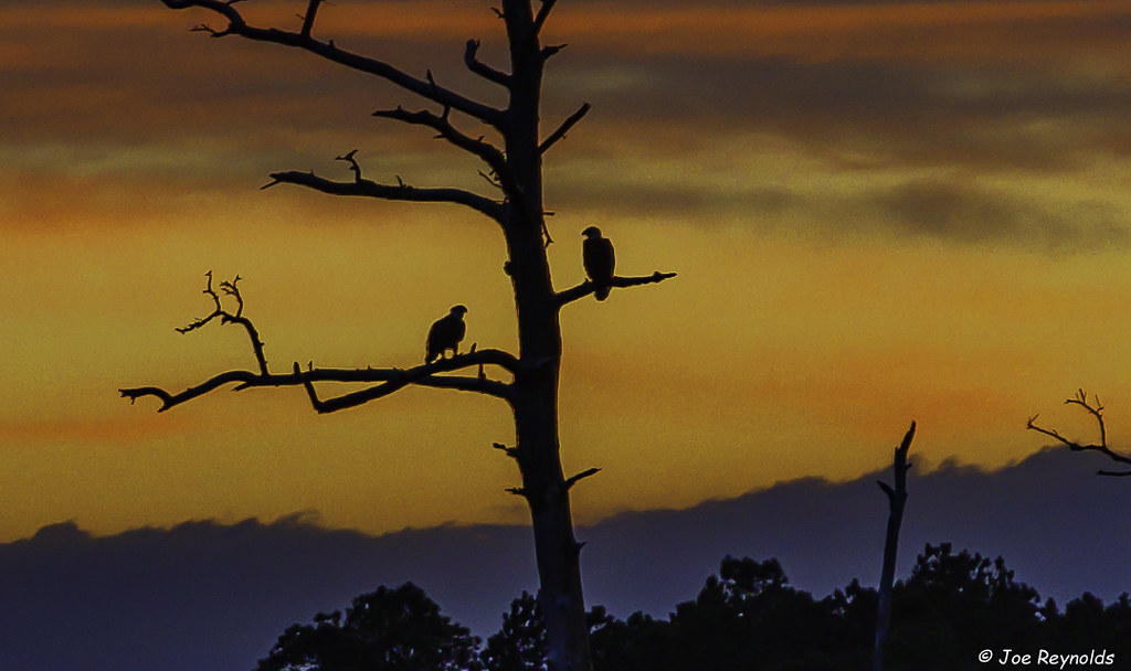
Perched Eagles

20190328-0P7A2388

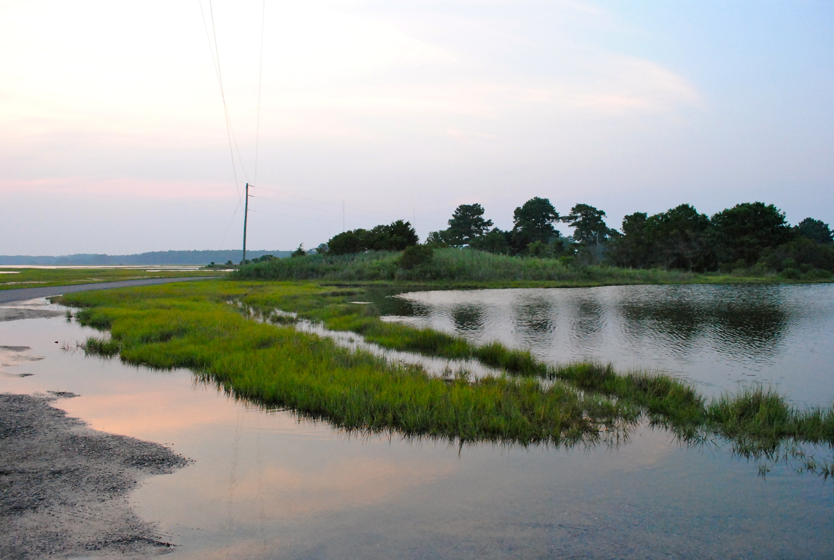
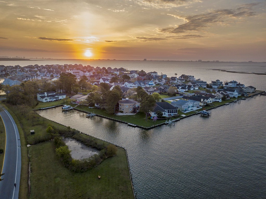
Salt Grass Point - St Martins Neck, Bishopville, MD
Salt Grass Point - St Martins Neck, Bishopville, MD

Salt Grass Point - St Martins Neck, Bishopville, MD
Salt Grass Point - St Martins Neck, Bishopville, MD

Salt Grass Point - St Martins Neck, Bishopville, MD

Salt Grass Point - St Martins Neck, Bishopville, MD

Salt Grass Point - St Martins Neck, Bishopville, MD

Salt Grass Point - St Martins Neck, Bishopville, MD

Salt Grass Point - St Martins Neck, Bishopville, MD

Highway 54, the Line Road
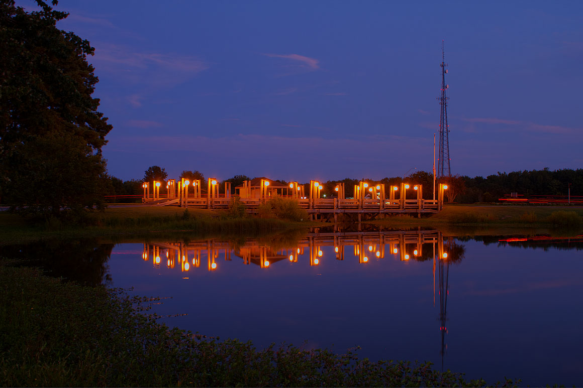
Ocean Pines Pond #1

Salt Grass Point - St Martins Neck, Bishopville, MD

Salt Grass Point - St Martins Neck, Bishopville, MD

Salt Grass Point - St Martins Neck, Bishopville, MD

Salt Grass Point - St Martins Neck, Bishopville, MD

Salt Grass Point - St Martins Neck, Bishopville, MD

Salt Grass Point - St Martins Neck, Bishopville, MD

Salt Grass Point - St Martins Neck, Bishopville, MD

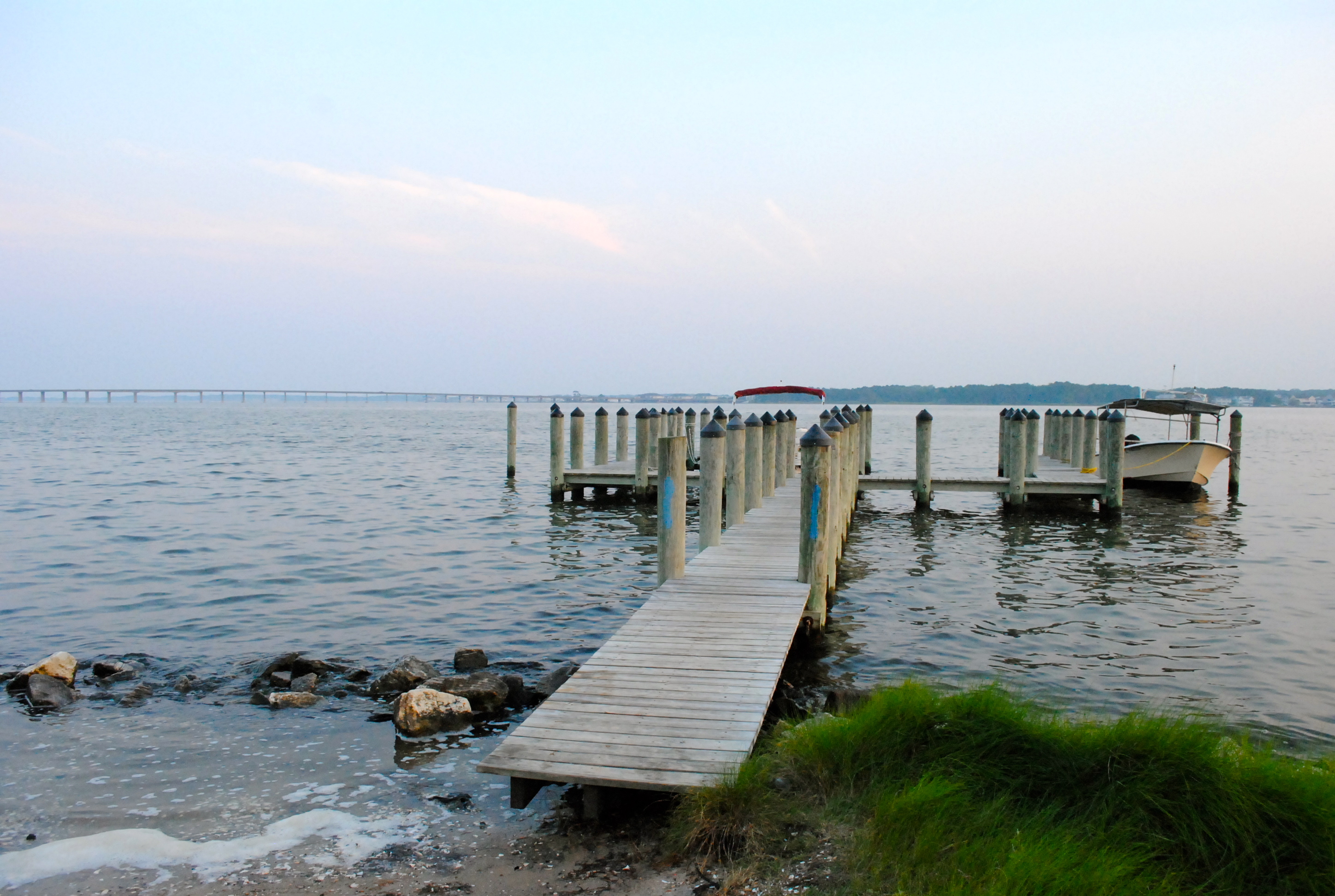
Not Yachting Season

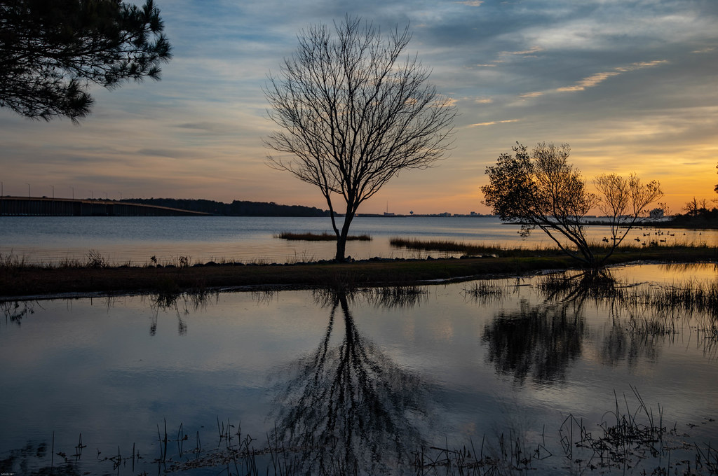
Just Another Sunrise
Sunrise at Ocean Pines
Osprey Point
Working Sunrise
アメリカ合衆国 〒 メリーランド州 ホイービルの地図
別の場所を検索
近所の場所
Sheppards Crossing Rd, Whaleyville, MD アメリカ合衆国
W Holland Ave, Willards, MD アメリカ合衆国
アメリカ合衆国 〒 メリーランド州 ウィラーズ
Timmonstown Rd, Berlin, MD アメリカ合衆国
アメリカ合衆国 メリーランド州 14, ウィラーズ
Logtown Rd, Berlin, MD アメリカ合衆国
Bethel Rd, Millsboro, DE アメリカ合衆国
アメリカ合衆国 メリーランド州 ピッツビル
アメリカ合衆国 メリーランド州 4, ピッツバーグ
Pear Tree Rd, Millsboro, DE アメリカ合衆国
Dagsboro Rd, Parsonsburg, MD アメリカ合衆国
Old Ocean City Rd, Parsonsburg, MD アメリカ合衆国
Parsonsburg Rd, Parsonsburg, MD アメリカ合衆国
Waste Gate Rd, Parsonsburg, MD アメリカ合衆国Waste Gate Road
Parsonsburg Rd, Maryland, アメリカ合衆国パーソンズバーグ・ロード
アメリカ合衆国 〒 メリーランド州 パーソンズバーグ
Parsonsburg Rd, Parsonsburg, MD アメリカ合衆国
Pintail Dr, Parsonsburg, MD アメリカ合衆国ピンテール・ドライブ
Arvey Rd, Parsonsburg, MD アメリカ合衆国
Argyle Dr, Parsonsburg, MD アメリカ合衆国
最近の検索
- アメリカ合衆国 アラスカ州 レッド・ドッグ・マイン日の出日の入り時間
- Am bhf, Borken, ドイツアム・バーンホーフ日の出日の入り時間
- 4th St E, Sonoma, CA, USA日の出日の入り時間
- Oakland Ave, Williamsport, PA アメリカ合衆国日の出日の入り時間
- Via Roma, Pieranica CR, イタリアローマ通り日の出日の入り時間
- クロアチア 〒 ドゥブロブニク GradClock Tower of Dubrovnik日の出日の入り時間
- アルゼンチン チュブ州 トレリュー日の出日の入り時間
- Hartfords Bluff Cir, Mt Pleasant, SC アメリカ合衆国日の出日の入り時間
- 日本、熊本県熊本市北区日の出日の入り時間
- 中華人民共和国 福州市 平潭県 平潭島日の出日の入り時間