Horas de salida y puesta de sol de Whaleyville, Maryland, EE. UU.
Location: Estados Unidos > Maryland > Condado de Worcester > 3 >
Zona horaria:
America/New_York
Hora local:
2025-06-03 02:49:32
Longitud:
-75.3021363
Latitud:
38.396782
Salida de sol de hoy:
05:38:11 AM
Puesta de sol de hoy:
08:20:48 PM
La duración del día hoy:
14h 42m 37s
Salida de sol de mañana:
05:37:54 AM
Puesta de sol de mañana:
08:21:25 PM
La duración del día mañana:
14h 43m 31s
Mostrar todas las fechas
| Fecha | Salida de sol | Puesta de sol | Duración del día |
|---|---|---|---|
| 01/01/2025 | 07:18:26 AM | 04:52:12 PM | 9h 33m 46s |
| 02/01/2025 | 07:18:31 AM | 04:53:02 PM | 9h 34m 31s |
| 03/01/2025 | 07:18:33 AM | 04:53:54 PM | 9h 35m 21s |
| 04/01/2025 | 07:18:34 AM | 04:54:47 PM | 9h 36m 13s |
| 05/01/2025 | 07:18:33 AM | 04:55:41 PM | 9h 37m 8s |
| 06/01/2025 | 07:18:29 AM | 04:56:37 PM | 9h 38m 8s |
| 07/01/2025 | 07:18:24 AM | 04:57:33 PM | 9h 39m 9s |
| 08/01/2025 | 07:18:16 AM | 04:58:30 PM | 9h 40m 14s |
| 09/01/2025 | 07:18:06 AM | 04:59:29 PM | 9h 41m 23s |
| 10/01/2025 | 07:17:54 AM | 05:00:28 PM | 9h 42m 34s |
| 11/01/2025 | 07:17:40 AM | 05:01:29 PM | 9h 43m 49s |
| 12/01/2025 | 07:17:24 AM | 05:02:30 PM | 9h 45m 6s |
| 13/01/2025 | 07:17:06 AM | 05:03:32 PM | 9h 46m 26s |
| 14/01/2025 | 07:16:45 AM | 05:04:35 PM | 9h 47m 50s |
| 15/01/2025 | 07:16:23 AM | 05:05:38 PM | 9h 49m 15s |
| 16/01/2025 | 07:15:59 AM | 05:06:42 PM | 9h 50m 43s |
| 17/01/2025 | 07:15:32 AM | 05:07:47 PM | 9h 52m 15s |
| 18/01/2025 | 07:15:04 AM | 05:08:52 PM | 9h 53m 48s |
| 19/01/2025 | 07:14:33 AM | 05:09:58 PM | 9h 55m 25s |
| 20/01/2025 | 07:14:01 AM | 05:11:04 PM | 9h 57m 3s |
| 21/01/2025 | 07:13:27 AM | 05:12:10 PM | 9h 58m 43s |
| 22/01/2025 | 07:12:51 AM | 05:13:17 PM | 10h 0m 26s |
| 23/01/2025 | 07:12:13 AM | 05:14:25 PM | 10h 2m 12s |
| 24/01/2025 | 07:11:33 AM | 05:15:32 PM | 10h 3m 59s |
| 25/01/2025 | 07:10:51 AM | 05:16:40 PM | 10h 5m 49s |
| 26/01/2025 | 07:10:08 AM | 05:17:48 PM | 10h 7m 40s |
| 27/01/2025 | 07:09:22 AM | 05:18:56 PM | 10h 9m 34s |
| 28/01/2025 | 07:08:35 AM | 05:20:04 PM | 10h 11m 29s |
| 29/01/2025 | 07:07:46 AM | 05:21:13 PM | 10h 13m 27s |
| 30/01/2025 | 07:06:56 AM | 05:22:21 PM | 10h 15m 25s |
| 31/01/2025 | 07:06:04 AM | 05:23:30 PM | 10h 17m 26s |
| 01/02/2025 | 07:05:10 AM | 05:24:38 PM | 10h 19m 28s |
| 02/02/2025 | 07:04:15 AM | 05:25:46 PM | 10h 21m 31s |
| 03/02/2025 | 07:03:18 AM | 05:26:55 PM | 10h 23m 37s |
| 04/02/2025 | 07:02:19 AM | 05:28:03 PM | 10h 25m 44s |
| 05/02/2025 | 07:01:19 AM | 05:29:11 PM | 10h 27m 52s |
| 06/02/2025 | 07:00:18 AM | 05:30:19 PM | 10h 30m 1s |
| 07/02/2025 | 06:59:15 AM | 05:31:27 PM | 10h 32m 12s |
| 08/02/2025 | 06:58:11 AM | 05:32:35 PM | 10h 34m 24s |
| 09/02/2025 | 06:57:05 AM | 05:33:42 PM | 10h 36m 37s |
| 10/02/2025 | 06:55:58 AM | 05:34:49 PM | 10h 38m 51s |
| 11/02/2025 | 06:54:50 AM | 05:35:57 PM | 10h 41m 7s |
| 12/02/2025 | 06:53:40 AM | 05:37:03 PM | 10h 43m 23s |
| 13/02/2025 | 06:52:30 AM | 05:38:10 PM | 10h 45m 40s |
| 14/02/2025 | 06:51:18 AM | 05:39:16 PM | 10h 47m 58s |
| 15/02/2025 | 06:50:05 AM | 05:40:22 PM | 10h 50m 17s |
| 16/02/2025 | 06:48:50 AM | 05:41:28 PM | 10h 52m 38s |
| 17/02/2025 | 06:47:35 AM | 05:42:33 PM | 10h 54m 58s |
| 18/02/2025 | 06:46:19 AM | 05:43:39 PM | 10h 57m 20s |
| 19/02/2025 | 06:45:01 AM | 05:44:43 PM | 10h 59m 42s |
| 20/02/2025 | 06:43:43 AM | 05:45:48 PM | 11h 2m 5s |
| 21/02/2025 | 06:42:24 AM | 05:46:52 PM | 11h 4m 28s |
| 22/02/2025 | 06:41:03 AM | 05:47:56 PM | 11h 6m 53s |
| 23/02/2025 | 06:39:42 AM | 05:49:00 PM | 11h 9m 18s |
| 24/02/2025 | 06:38:20 AM | 05:50:03 PM | 11h 11m 43s |
| 25/02/2025 | 06:36:57 AM | 05:51:06 PM | 11h 14m 9s |
| 26/02/2025 | 06:35:34 AM | 05:52:09 PM | 11h 16m 35s |
| 27/02/2025 | 06:34:09 AM | 05:53:11 PM | 11h 19m 2s |
| 28/02/2025 | 06:32:44 AM | 05:54:13 PM | 11h 21m 29s |
| 01/03/2025 | 06:31:18 AM | 05:55:15 PM | 11h 23m 57s |
| 02/03/2025 | 06:29:52 AM | 05:56:16 PM | 11h 26m 24s |
| 03/03/2025 | 06:28:25 AM | 05:57:17 PM | 11h 28m 52s |
| 04/03/2025 | 06:26:57 AM | 05:58:18 PM | 11h 31m 21s |
| 05/03/2025 | 06:25:29 AM | 05:59:19 PM | 11h 33m 50s |
| 06/03/2025 | 06:24:00 AM | 06:00:19 PM | 11h 36m 19s |
| 07/03/2025 | 06:22:31 AM | 06:01:19 PM | 11h 38m 48s |
| 08/03/2025 | 06:21:01 AM | 06:02:19 PM | 11h 41m 18s |
| 09/03/2025 | 07:19:35 AM | 07:03:16 PM | 11h 43m 41s |
| 10/03/2025 | 07:18:04 AM | 07:04:15 PM | 11h 46m 11s |
| 11/03/2025 | 07:16:33 AM | 07:05:14 PM | 11h 48m 41s |
| 12/03/2025 | 07:15:02 AM | 07:06:13 PM | 11h 51m 11s |
| 13/03/2025 | 07:13:30 AM | 07:07:11 PM | 11h 53m 41s |
| 14/03/2025 | 07:11:58 AM | 07:08:10 PM | 11h 56m 12s |
| 15/03/2025 | 07:10:26 AM | 07:09:08 PM | 11h 58m 42s |
| 16/03/2025 | 07:08:54 AM | 07:10:06 PM | 12h 1m 12s |
| 17/03/2025 | 07:07:21 AM | 07:11:04 PM | 12h 3m 43s |
| 18/03/2025 | 07:05:49 AM | 07:12:01 PM | 12h 6m 12s |
| 19/03/2025 | 07:04:16 AM | 07:12:59 PM | 12h 8m 43s |
| 20/03/2025 | 07:02:43 AM | 07:13:56 PM | 12h 11m 13s |
| 21/03/2025 | 07:01:10 AM | 07:14:53 PM | 12h 13m 43s |
| 22/03/2025 | 06:59:37 AM | 07:15:50 PM | 12h 16m 13s |
| 23/03/2025 | 06:58:04 AM | 07:16:47 PM | 12h 18m 43s |
| 24/03/2025 | 06:56:31 AM | 07:17:44 PM | 12h 21m 13s |
| 25/03/2025 | 06:54:58 AM | 07:18:41 PM | 12h 23m 43s |
| 26/03/2025 | 06:53:25 AM | 07:19:38 PM | 12h 26m 13s |
| 27/03/2025 | 06:51:52 AM | 07:20:34 PM | 12h 28m 42s |
| 28/03/2025 | 06:50:19 AM | 07:21:31 PM | 12h 31m 12s |
| 29/03/2025 | 06:48:47 AM | 07:22:27 PM | 12h 33m 40s |
| 30/03/2025 | 06:47:14 AM | 07:23:24 PM | 12h 36m 10s |
| 31/03/2025 | 06:45:42 AM | 07:24:20 PM | 12h 38m 38s |
| 01/04/2025 | 06:44:11 AM | 07:25:17 PM | 12h 41m 6s |
| 02/04/2025 | 06:42:39 AM | 07:26:13 PM | 12h 43m 34s |
| 03/04/2025 | 06:41:08 AM | 07:27:10 PM | 12h 46m 2s |
| 04/04/2025 | 06:39:37 AM | 07:28:06 PM | 12h 48m 29s |
| 05/04/2025 | 06:38:06 AM | 07:29:02 PM | 12h 50m 56s |
| 06/04/2025 | 06:36:36 AM | 07:29:59 PM | 12h 53m 23s |
| 07/04/2025 | 06:35:07 AM | 07:30:55 PM | 12h 55m 48s |
| 08/04/2025 | 06:33:38 AM | 07:31:51 PM | 12h 58m 13s |
| 09/04/2025 | 06:32:09 AM | 07:32:48 PM | 13h 0m 39s |
| 10/04/2025 | 06:30:41 AM | 07:33:44 PM | 13h 3m 3s |
| 11/04/2025 | 06:29:13 AM | 07:34:41 PM | 13h 5m 28s |
| 12/04/2025 | 06:27:46 AM | 07:35:37 PM | 13h 7m 51s |
| 13/04/2025 | 06:26:20 AM | 07:36:34 PM | 13h 10m 14s |
| 14/04/2025 | 06:24:54 AM | 07:37:31 PM | 13h 12m 37s |
| 15/04/2025 | 06:23:29 AM | 07:38:27 PM | 13h 14m 58s |
| 16/04/2025 | 06:22:05 AM | 07:39:24 PM | 13h 17m 19s |
| 17/04/2025 | 06:20:41 AM | 07:40:21 PM | 13h 19m 40s |
| 18/04/2025 | 06:19:19 AM | 07:41:17 PM | 13h 21m 58s |
| 19/04/2025 | 06:17:57 AM | 07:42:14 PM | 13h 24m 17s |
| 20/04/2025 | 06:16:35 AM | 07:43:11 PM | 13h 26m 36s |
| 21/04/2025 | 06:15:15 AM | 07:44:08 PM | 13h 28m 53s |
| 22/04/2025 | 06:13:56 AM | 07:45:05 PM | 13h 31m 9s |
| 23/04/2025 | 06:12:37 AM | 07:46:01 PM | 13h 33m 24s |
| 24/04/2025 | 06:11:20 AM | 07:46:58 PM | 13h 35m 38s |
| 25/04/2025 | 06:10:03 AM | 07:47:55 PM | 13h 37m 52s |
| 26/04/2025 | 06:08:48 AM | 07:48:52 PM | 13h 40m 4s |
| 27/04/2025 | 06:07:33 AM | 07:49:49 PM | 13h 42m 16s |
| 28/04/2025 | 06:06:20 AM | 07:50:45 PM | 13h 44m 25s |
| 29/04/2025 | 06:05:07 AM | 07:51:42 PM | 13h 46m 35s |
| 30/04/2025 | 06:03:56 AM | 07:52:39 PM | 13h 48m 43s |
| 01/05/2025 | 06:02:46 AM | 07:53:35 PM | 13h 50m 49s |
| 02/05/2025 | 06:01:37 AM | 07:54:32 PM | 13h 52m 55s |
| 03/05/2025 | 06:00:30 AM | 07:55:28 PM | 13h 54m 58s |
| 04/05/2025 | 05:59:23 AM | 07:56:24 PM | 13h 57m 1s |
| 05/05/2025 | 05:58:18 AM | 07:57:20 PM | 13h 59m 2s |
| 06/05/2025 | 05:57:15 AM | 07:58:16 PM | 14h 1m 1s |
| 07/05/2025 | 05:56:12 AM | 07:59:11 PM | 14h 2m 59s |
| 08/05/2025 | 05:55:11 AM | 08:00:07 PM | 14h 4m 56s |
| 09/05/2025 | 05:54:12 AM | 08:01:02 PM | 14h 6m 50s |
| 10/05/2025 | 05:53:13 AM | 08:01:57 PM | 14h 8m 44s |
| 11/05/2025 | 05:52:17 AM | 08:02:51 PM | 14h 10m 34s |
| 12/05/2025 | 05:51:21 AM | 08:03:46 PM | 14h 12m 25s |
| 13/05/2025 | 05:50:28 AM | 08:04:39 PM | 14h 14m 11s |
| 14/05/2025 | 05:49:35 AM | 08:05:33 PM | 14h 15m 58s |
| 15/05/2025 | 05:48:45 AM | 08:06:26 PM | 14h 17m 41s |
| 16/05/2025 | 05:47:55 AM | 08:07:18 PM | 14h 19m 23s |
| 17/05/2025 | 05:47:08 AM | 08:08:11 PM | 14h 21m 3s |
| 18/05/2025 | 05:46:22 AM | 08:09:02 PM | 14h 22m 40s |
| 19/05/2025 | 05:45:38 AM | 08:09:53 PM | 14h 24m 15s |
| 20/05/2025 | 05:44:55 AM | 08:10:44 PM | 14h 25m 49s |
| 21/05/2025 | 05:44:14 AM | 08:11:33 PM | 14h 27m 19s |
| 22/05/2025 | 05:43:35 AM | 08:12:23 PM | 14h 28m 48s |
| 23/05/2025 | 05:42:57 AM | 08:13:11 PM | 14h 30m 14s |
| 24/05/2025 | 05:42:22 AM | 08:13:59 PM | 14h 31m 37s |
| 25/05/2025 | 05:41:48 AM | 08:14:46 PM | 14h 32m 58s |
| 26/05/2025 | 05:41:15 AM | 08:15:32 PM | 14h 34m 17s |
| 27/05/2025 | 05:40:45 AM | 08:16:17 PM | 14h 35m 32s |
| 28/05/2025 | 05:40:16 AM | 08:17:01 PM | 14h 36m 45s |
| 29/05/2025 | 05:39:49 AM | 08:17:45 PM | 14h 37m 56s |
| 30/05/2025 | 05:39:24 AM | 08:18:27 PM | 14h 39m 3s |
| 31/05/2025 | 05:39:01 AM | 08:19:09 PM | 14h 40m 8s |
| 01/06/2025 | 05:38:40 AM | 08:19:49 PM | 14h 41m 9s |
| 02/06/2025 | 05:38:20 AM | 08:20:29 PM | 14h 42m 9s |
| 03/06/2025 | 05:38:02 AM | 08:21:07 PM | 14h 43m 5s |
| 04/06/2025 | 05:37:47 AM | 08:21:44 PM | 14h 43m 57s |
| 05/06/2025 | 05:37:32 AM | 08:22:20 PM | 14h 44m 48s |
| 06/06/2025 | 05:37:20 AM | 08:22:54 PM | 14h 45m 34s |
| 07/06/2025 | 05:37:10 AM | 08:23:27 PM | 14h 46m 17s |
| 08/06/2025 | 05:37:01 AM | 08:23:59 PM | 14h 46m 58s |
| 09/06/2025 | 05:36:55 AM | 08:24:30 PM | 14h 47m 35s |
| 10/06/2025 | 05:36:50 AM | 08:24:59 PM | 14h 48m 9s |
| 11/06/2025 | 05:36:47 AM | 08:25:27 PM | 14h 48m 40s |
| 12/06/2025 | 05:36:46 AM | 08:25:53 PM | 14h 49m 7s |
| 13/06/2025 | 05:36:46 AM | 08:26:18 PM | 14h 49m 32s |
| 14/06/2025 | 05:36:49 AM | 08:26:41 PM | 14h 49m 52s |
| 15/06/2025 | 05:36:53 AM | 08:27:03 PM | 14h 50m 10s |
| 16/06/2025 | 05:36:59 AM | 08:27:23 PM | 14h 50m 24s |
| 17/06/2025 | 05:37:06 AM | 08:27:42 PM | 14h 50m 36s |
| 18/06/2025 | 05:37:16 AM | 08:27:58 PM | 14h 50m 42s |
| 19/06/2025 | 05:37:27 AM | 08:28:14 PM | 14h 50m 47s |
| 20/06/2025 | 05:37:39 AM | 08:28:27 PM | 14h 50m 48s |
| 21/06/2025 | 05:37:54 AM | 08:28:39 PM | 14h 50m 45s |
| 22/06/2025 | 05:38:10 AM | 08:28:49 PM | 14h 50m 39s |
| 23/06/2025 | 05:38:27 AM | 08:28:57 PM | 14h 50m 30s |
| 24/06/2025 | 05:38:46 AM | 08:29:03 PM | 14h 50m 17s |
| 25/06/2025 | 05:39:07 AM | 08:29:08 PM | 14h 50m 1s |
| 26/06/2025 | 05:39:29 AM | 08:29:11 PM | 14h 49m 42s |
| 27/06/2025 | 05:39:53 AM | 08:29:12 PM | 14h 49m 19s |
| 28/06/2025 | 05:40:18 AM | 08:29:11 PM | 14h 48m 53s |
| 29/06/2025 | 05:40:44 AM | 08:29:08 PM | 14h 48m 24s |
| 30/06/2025 | 05:41:12 AM | 08:29:04 PM | 14h 47m 52s |
| 01/07/2025 | 05:41:41 AM | 08:28:57 PM | 14h 47m 16s |
| 02/07/2025 | 05:42:12 AM | 08:28:49 PM | 14h 46m 37s |
| 03/07/2025 | 05:42:44 AM | 08:28:38 PM | 14h 45m 54s |
| 04/07/2025 | 05:43:17 AM | 08:28:26 PM | 14h 45m 9s |
| 05/07/2025 | 05:43:51 AM | 08:28:12 PM | 14h 44m 21s |
| 06/07/2025 | 05:44:26 AM | 08:27:56 PM | 14h 43m 30s |
| 07/07/2025 | 05:45:03 AM | 08:27:39 PM | 14h 42m 36s |
| 08/07/2025 | 05:45:40 AM | 08:27:19 PM | 14h 41m 39s |
| 09/07/2025 | 05:46:19 AM | 08:26:57 PM | 14h 40m 38s |
| 10/07/2025 | 05:46:58 AM | 08:26:34 PM | 14h 39m 36s |
| 11/07/2025 | 05:47:39 AM | 08:26:09 PM | 14h 38m 30s |
| 12/07/2025 | 05:48:20 AM | 08:25:42 PM | 14h 37m 22s |
| 13/07/2025 | 05:49:02 AM | 08:25:13 PM | 14h 36m 11s |
| 14/07/2025 | 05:49:46 AM | 08:24:42 PM | 14h 34m 56s |
| 15/07/2025 | 05:50:30 AM | 08:24:09 PM | 14h 33m 39s |
| 16/07/2025 | 05:51:14 AM | 08:23:35 PM | 14h 32m 21s |
| 17/07/2025 | 05:52:00 AM | 08:22:59 PM | 14h 30m 59s |
| 18/07/2025 | 05:52:46 AM | 08:22:21 PM | 14h 29m 35s |
| 19/07/2025 | 05:53:32 AM | 08:21:41 PM | 14h 28m 9s |
| 20/07/2025 | 05:54:20 AM | 08:21:00 PM | 14h 26m 40s |
| 21/07/2025 | 05:55:08 AM | 08:20:16 PM | 14h 25m 8s |
| 22/07/2025 | 05:55:56 AM | 08:19:32 PM | 14h 23m 36s |
| 23/07/2025 | 05:56:45 AM | 08:18:45 PM | 14h 22m 0s |
| 24/07/2025 | 05:57:34 AM | 08:17:57 PM | 14h 20m 23s |
| 25/07/2025 | 05:58:24 AM | 08:17:07 PM | 14h 18m 43s |
| 26/07/2025 | 05:59:15 AM | 08:16:16 PM | 14h 17m 1s |
| 27/07/2025 | 06:00:05 AM | 08:15:23 PM | 14h 15m 18s |
| 28/07/2025 | 06:00:56 AM | 08:14:28 PM | 14h 13m 32s |
| 29/07/2025 | 06:01:47 AM | 08:13:32 PM | 14h 11m 45s |
| 30/07/2025 | 06:02:39 AM | 08:12:35 PM | 14h 9m 56s |
| 31/07/2025 | 06:03:31 AM | 08:11:36 PM | 14h 8m 5s |
| 01/08/2025 | 06:04:23 AM | 08:10:35 PM | 14h 6m 12s |
| 02/08/2025 | 06:05:15 AM | 08:09:33 PM | 14h 4m 18s |
| 03/08/2025 | 06:06:07 AM | 08:08:30 PM | 14h 2m 23s |
| 04/08/2025 | 06:07:00 AM | 08:07:25 PM | 14h 0m 25s |
| 05/08/2025 | 06:07:53 AM | 08:06:19 PM | 13h 58m 26s |
| 06/08/2025 | 06:08:46 AM | 08:05:12 PM | 13h 56m 26s |
| 07/08/2025 | 06:09:39 AM | 08:04:04 PM | 13h 54m 25s |
| 08/08/2025 | 06:10:32 AM | 08:02:54 PM | 13h 52m 22s |
| 09/08/2025 | 06:11:25 AM | 08:01:43 PM | 13h 50m 18s |
| 10/08/2025 | 06:12:18 AM | 08:00:31 PM | 13h 48m 13s |
| 11/08/2025 | 06:13:11 AM | 07:59:17 PM | 13h 46m 6s |
| 12/08/2025 | 06:14:04 AM | 07:58:03 PM | 13h 43m 59s |
| 13/08/2025 | 06:14:57 AM | 07:56:47 PM | 13h 41m 50s |
| 14/08/2025 | 06:15:51 AM | 07:55:30 PM | 13h 39m 39s |
| 15/08/2025 | 06:16:44 AM | 07:54:13 PM | 13h 37m 29s |
| 16/08/2025 | 06:17:37 AM | 07:52:54 PM | 13h 35m 17s |
| 17/08/2025 | 06:18:30 AM | 07:51:34 PM | 13h 33m 4s |
| 18/08/2025 | 06:19:23 AM | 07:50:14 PM | 13h 30m 51s |
| 19/08/2025 | 06:20:16 AM | 07:48:52 PM | 13h 28m 36s |
| 20/08/2025 | 06:21:09 AM | 07:47:30 PM | 13h 26m 21s |
| 21/08/2025 | 06:22:02 AM | 07:46:06 PM | 13h 24m 4s |
| 22/08/2025 | 06:22:55 AM | 07:44:42 PM | 13h 21m 47s |
| 23/08/2025 | 06:23:48 AM | 07:43:17 PM | 13h 19m 29s |
| 24/08/2025 | 06:24:40 AM | 07:41:52 PM | 13h 17m 12s |
| 25/08/2025 | 06:25:33 AM | 07:40:25 PM | 13h 14m 52s |
| 26/08/2025 | 06:26:25 AM | 07:38:58 PM | 13h 12m 33s |
| 27/08/2025 | 06:27:18 AM | 07:37:30 PM | 13h 10m 12s |
| 28/08/2025 | 06:28:10 AM | 07:36:02 PM | 13h 7m 52s |
| 29/08/2025 | 06:29:03 AM | 07:34:33 PM | 13h 5m 30s |
| 30/08/2025 | 06:29:55 AM | 07:33:03 PM | 13h 3m 8s |
| 31/08/2025 | 06:30:47 AM | 07:31:33 PM | 13h 0m 46s |
| 01/09/2025 | 06:31:40 AM | 07:30:02 PM | 12h 58m 22s |
| 02/09/2025 | 06:32:32 AM | 07:28:31 PM | 12h 55m 59s |
| 03/09/2025 | 06:33:24 AM | 07:26:59 PM | 12h 53m 35s |
| 04/09/2025 | 06:34:16 AM | 07:25:27 PM | 12h 51m 11s |
| 05/09/2025 | 06:35:08 AM | 07:23:54 PM | 12h 48m 46s |
| 06/09/2025 | 06:36:00 AM | 07:22:21 PM | 12h 46m 21s |
| 07/09/2025 | 06:36:52 AM | 07:20:48 PM | 12h 43m 56s |
| 08/09/2025 | 06:37:44 AM | 07:19:14 PM | 12h 41m 30s |
| 09/09/2025 | 06:38:36 AM | 07:17:40 PM | 12h 39m 4s |
| 10/09/2025 | 06:39:28 AM | 07:16:06 PM | 12h 36m 38s |
| 11/09/2025 | 06:40:20 AM | 07:14:32 PM | 12h 34m 12s |
| 12/09/2025 | 06:41:12 AM | 07:12:57 PM | 12h 31m 45s |
| 13/09/2025 | 06:42:04 AM | 07:11:22 PM | 12h 29m 18s |
| 14/09/2025 | 06:42:56 AM | 07:09:47 PM | 12h 26m 51s |
| 15/09/2025 | 06:43:48 AM | 07:08:12 PM | 12h 24m 24s |
| 16/09/2025 | 06:44:41 AM | 07:06:37 PM | 12h 21m 56s |
| 17/09/2025 | 06:45:33 AM | 07:05:02 PM | 12h 19m 29s |
| 18/09/2025 | 06:46:26 AM | 07:03:26 PM | 12h 17m 0s |
| 19/09/2025 | 06:47:18 AM | 07:01:51 PM | 12h 14m 33s |
| 20/09/2025 | 06:48:11 AM | 07:00:16 PM | 12h 12m 5s |
| 21/09/2025 | 06:49:04 AM | 06:58:41 PM | 12h 9m 37s |
| 22/09/2025 | 06:49:56 AM | 06:57:06 PM | 12h 7m 10s |
| 23/09/2025 | 06:50:50 AM | 06:55:31 PM | 12h 4m 41s |
| 24/09/2025 | 06:51:43 AM | 06:53:56 PM | 12h 2m 13s |
| 25/09/2025 | 06:52:36 AM | 06:52:21 PM | 11h 59m 45s |
| 26/09/2025 | 06:53:30 AM | 06:50:47 PM | 11h 57m 17s |
| 27/09/2025 | 06:54:24 AM | 06:49:12 PM | 11h 54m 48s |
| 28/09/2025 | 06:55:18 AM | 06:47:39 PM | 11h 52m 21s |
| 29/09/2025 | 06:56:12 AM | 06:46:05 PM | 11h 49m 53s |
| 30/09/2025 | 06:57:06 AM | 06:44:32 PM | 11h 47m 26s |
| 01/10/2025 | 06:58:01 AM | 06:42:59 PM | 11h 44m 58s |
| 02/10/2025 | 06:58:56 AM | 06:41:26 PM | 11h 42m 30s |
| 03/10/2025 | 06:59:51 AM | 06:39:54 PM | 11h 40m 3s |
| 04/10/2025 | 07:00:46 AM | 06:38:22 PM | 11h 37m 36s |
| 05/10/2025 | 07:01:42 AM | 06:36:51 PM | 11h 35m 9s |
| 06/10/2025 | 07:02:38 AM | 06:35:20 PM | 11h 32m 42s |
| 07/10/2025 | 07:03:34 AM | 06:33:50 PM | 11h 30m 16s |
| 08/10/2025 | 07:04:31 AM | 06:32:20 PM | 11h 27m 49s |
| 09/10/2025 | 07:05:28 AM | 06:30:51 PM | 11h 25m 23s |
| 10/10/2025 | 07:06:25 AM | 06:29:23 PM | 11h 22m 58s |
| 11/10/2025 | 07:07:23 AM | 06:27:55 PM | 11h 20m 32s |
| 12/10/2025 | 07:08:20 AM | 06:26:28 PM | 11h 18m 8s |
| 13/10/2025 | 07:09:19 AM | 06:25:02 PM | 11h 15m 43s |
| 14/10/2025 | 07:10:17 AM | 06:23:36 PM | 11h 13m 19s |
| 15/10/2025 | 07:11:16 AM | 06:22:12 PM | 11h 10m 56s |
| 16/10/2025 | 07:12:15 AM | 06:20:48 PM | 11h 8m 33s |
| 17/10/2025 | 07:13:15 AM | 06:19:25 PM | 11h 6m 10s |
| 18/10/2025 | 07:14:15 AM | 06:18:02 PM | 11h 3m 47s |
| 19/10/2025 | 07:15:15 AM | 06:16:41 PM | 11h 1m 26s |
| 20/10/2025 | 07:16:15 AM | 06:15:21 PM | 10h 59m 6s |
| 21/10/2025 | 07:17:16 AM | 06:14:02 PM | 10h 56m 46s |
| 22/10/2025 | 07:18:17 AM | 06:12:43 PM | 10h 54m 26s |
| 23/10/2025 | 07:19:19 AM | 06:11:26 PM | 10h 52m 7s |
| 24/10/2025 | 07:20:21 AM | 06:10:10 PM | 10h 49m 49s |
| 25/10/2025 | 07:21:23 AM | 06:08:55 PM | 10h 47m 32s |
| 26/10/2025 | 07:22:25 AM | 06:07:41 PM | 10h 45m 16s |
| 27/10/2025 | 07:23:28 AM | 06:06:29 PM | 10h 43m 1s |
| 28/10/2025 | 07:24:31 AM | 06:05:17 PM | 10h 40m 46s |
| 29/10/2025 | 07:25:35 AM | 06:04:07 PM | 10h 38m 32s |
| 30/10/2025 | 07:26:38 AM | 06:02:58 PM | 10h 36m 20s |
| 31/10/2025 | 07:27:42 AM | 06:01:51 PM | 10h 34m 9s |
| 01/11/2025 | 07:28:46 AM | 06:00:45 PM | 10h 31m 59s |
| 02/11/2025 | 06:29:54 AM | 04:59:37 PM | 10h 29m 43s |
| 03/11/2025 | 06:30:58 AM | 04:58:34 PM | 10h 27m 36s |
| 04/11/2025 | 06:32:03 AM | 04:57:32 PM | 10h 25m 29s |
| 05/11/2025 | 06:33:08 AM | 04:56:32 PM | 10h 23m 24s |
| 06/11/2025 | 06:34:13 AM | 04:55:34 PM | 10h 21m 21s |
| 07/11/2025 | 06:35:18 AM | 04:54:36 PM | 10h 19m 18s |
| 08/11/2025 | 06:36:23 AM | 04:53:41 PM | 10h 17m 18s |
| 09/11/2025 | 06:37:29 AM | 04:52:47 PM | 10h 15m 18s |
| 10/11/2025 | 06:38:34 AM | 04:51:55 PM | 10h 13m 21s |
| 11/11/2025 | 06:39:39 AM | 04:51:04 PM | 10h 11m 25s |
| 12/11/2025 | 06:40:45 AM | 04:50:15 PM | 10h 9m 30s |
| 13/11/2025 | 06:41:50 AM | 04:49:28 PM | 10h 7m 38s |
| 14/11/2025 | 06:42:55 AM | 04:48:43 PM | 10h 5m 48s |
| 15/11/2025 | 06:44:00 AM | 04:47:59 PM | 10h 3m 59s |
| 16/11/2025 | 06:45:05 AM | 04:47:18 PM | 10h 2m 13s |
| 17/11/2025 | 06:46:10 AM | 04:46:38 PM | 10h 0m 28s |
| 18/11/2025 | 06:47:14 AM | 04:46:00 PM | 9h 58m 46s |
| 19/11/2025 | 06:48:18 AM | 04:45:24 PM | 9h 57m 6s |
| 20/11/2025 | 06:49:22 AM | 04:44:50 PM | 9h 55m 28s |
| 21/11/2025 | 06:50:25 AM | 04:44:18 PM | 9h 53m 53s |
| 22/11/2025 | 06:51:28 AM | 04:43:48 PM | 9h 52m 20s |
| 23/11/2025 | 06:52:31 AM | 04:43:20 PM | 9h 50m 49s |
| 24/11/2025 | 06:53:33 AM | 04:42:54 PM | 9h 49m 21s |
| 25/11/2025 | 06:54:34 AM | 04:42:30 PM | 9h 47m 56s |
| 26/11/2025 | 06:55:35 AM | 04:42:08 PM | 9h 46m 33s |
| 27/11/2025 | 06:56:35 AM | 04:41:49 PM | 9h 45m 14s |
| 28/11/2025 | 06:57:35 AM | 04:41:31 PM | 9h 43m 56s |
| 29/11/2025 | 06:58:34 AM | 04:41:15 PM | 9h 42m 41s |
| 30/11/2025 | 06:59:32 AM | 04:41:02 PM | 9h 41m 30s |
| 01/12/2025 | 07:00:29 AM | 04:40:51 PM | 9h 40m 22s |
| 02/12/2025 | 07:01:25 AM | 04:40:42 PM | 9h 39m 17s |
| 03/12/2025 | 07:02:20 AM | 04:40:35 PM | 9h 38m 15s |
| 04/12/2025 | 07:03:14 AM | 04:40:30 PM | 9h 37m 16s |
| 05/12/2025 | 07:04:07 AM | 04:40:27 PM | 9h 36m 20s |
| 06/12/2025 | 07:04:59 AM | 04:40:27 PM | 9h 35m 28s |
| 07/12/2025 | 07:05:50 AM | 04:40:28 PM | 9h 34m 38s |
| 08/12/2025 | 07:06:39 AM | 04:40:32 PM | 9h 33m 53s |
| 09/12/2025 | 07:07:28 AM | 04:40:38 PM | 9h 33m 10s |
| 10/12/2025 | 07:08:15 AM | 04:40:46 PM | 9h 32m 31s |
| 11/12/2025 | 07:09:00 AM | 04:40:56 PM | 9h 31m 56s |
| 12/12/2025 | 07:09:44 AM | 04:41:09 PM | 9h 31m 25s |
| 13/12/2025 | 07:10:27 AM | 04:41:23 PM | 9h 30m 56s |
| 14/12/2025 | 07:11:08 AM | 04:41:40 PM | 9h 30m 32s |
| 15/12/2025 | 07:11:48 AM | 04:41:58 PM | 9h 30m 10s |
| 16/12/2025 | 07:12:26 AM | 04:42:19 PM | 9h 29m 53s |
| 17/12/2025 | 07:13:02 AM | 04:42:42 PM | 9h 29m 40s |
| 18/12/2025 | 07:13:37 AM | 04:43:06 PM | 9h 29m 29s |
| 19/12/2025 | 07:14:09 AM | 04:43:33 PM | 9h 29m 24s |
| 20/12/2025 | 07:14:41 AM | 04:44:01 PM | 9h 29m 20s |
| 21/12/2025 | 07:15:10 AM | 04:44:32 PM | 9h 29m 22s |
| 22/12/2025 | 07:15:37 AM | 04:45:04 PM | 9h 29m 27s |
| 23/12/2025 | 07:16:03 AM | 04:45:38 PM | 9h 29m 35s |
| 24/12/2025 | 07:16:26 AM | 04:46:14 PM | 9h 29m 48s |
| 25/12/2025 | 07:16:48 AM | 04:46:51 PM | 9h 30m 3s |
| 26/12/2025 | 07:17:08 AM | 04:47:31 PM | 9h 30m 23s |
| 27/12/2025 | 07:17:26 AM | 04:48:12 PM | 9h 30m 46s |
| 28/12/2025 | 07:17:41 AM | 04:48:54 PM | 9h 31m 13s |
| 29/12/2025 | 07:17:55 AM | 04:49:38 PM | 9h 31m 43s |
| 30/12/2025 | 07:18:07 AM | 04:50:24 PM | 9h 32m 17s |
| 31/12/2025 | 07:18:16 AM | 04:51:11 PM | 9h 32m 55s |
Fotos

A Hazy Way to Start the Day
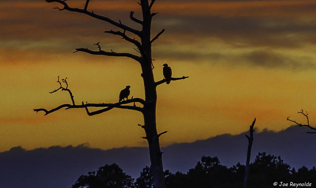
Perched Eagles

20190328-0P7A2388

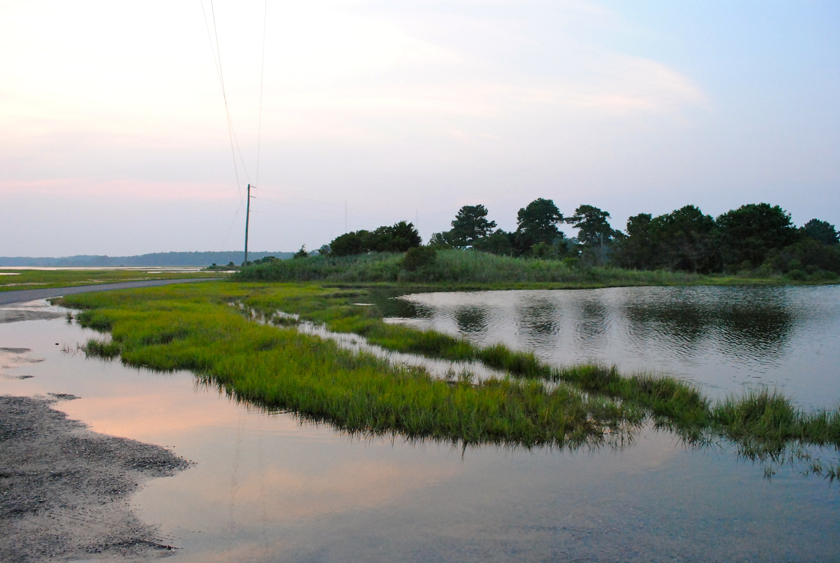
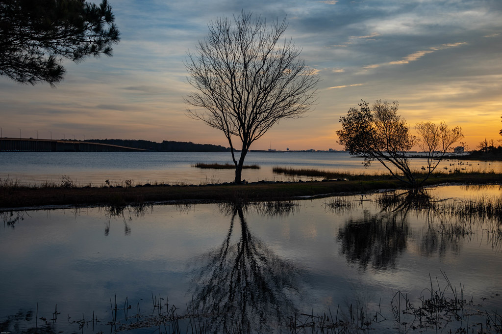
Salt Grass Point - St Martins Neck, Bishopville, MD
Salt Grass Point - St Martins Neck, Bishopville, MD

Salt Grass Point - St Martins Neck, Bishopville, MD

Salt Grass Point - St Martins Neck, Bishopville, MD

Salt Grass Point - St Martins Neck, Bishopville, MD

Salt Grass Point - St Martins Neck, Bishopville, MD

Salt Grass Point - St Martins Neck, Bishopville, MD

Salt Grass Point - St Martins Neck, Bishopville, MD

Salt Grass Point - St Martins Neck, Bishopville, MD

Highway 54, the Line Road
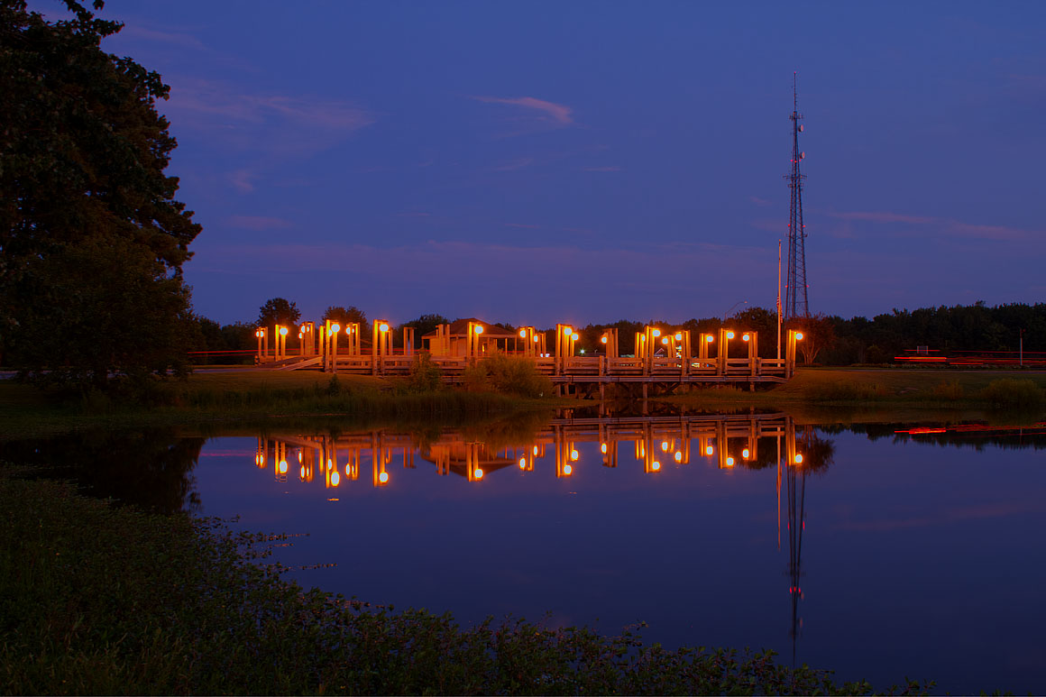
Ocean Pines Pond #1

Salt Grass Point - St Martins Neck, Bishopville, MD

Salt Grass Point - St Martins Neck, Bishopville, MD

Salt Grass Point - St Martins Neck, Bishopville, MD

Salt Grass Point - St Martins Neck, Bishopville, MD

Salt Grass Point - St Martins Neck, Bishopville, MD

Salt Grass Point - St Martins Neck, Bishopville, MD

Salt Grass Point - St Martins Neck, Bishopville, MD

Not Yachting Season

Just Another Sunrise
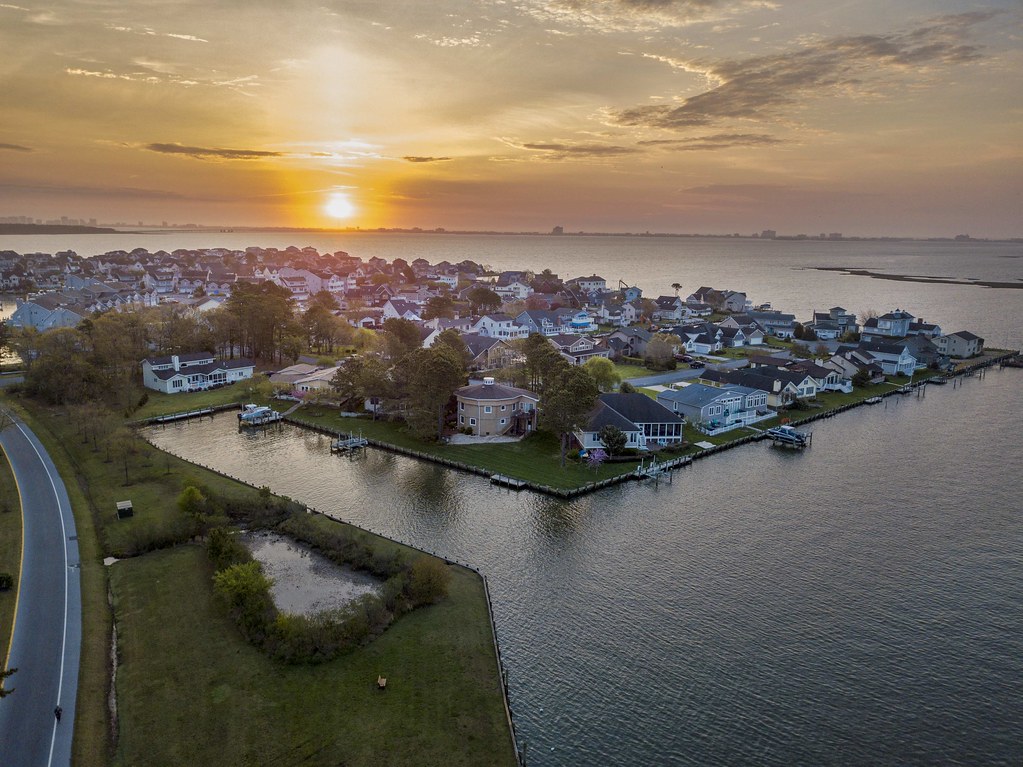
Sunrise at Ocean Pines
Osprey Point
Working Sunrise
Mapa de Whaleyville, Maryland, EE. UU.
Buscar otro lugar
Lugares cercanos
Sheppards Crossing Rd, Whaleyville, MD, EE. UU.
W Holland Ave, Willards, MD, EE. UU.
Willards, Maryland, EE. UU.
Timmonstown Rd, Berlin, MD, EE. UU.
14, Willards, MD, EE. UU.
Logtown Rd, Berlin, MD, EE. UU.
Bethel Rd, Millsboro, DE, EE. UU.
Pittsville, Maryland, EE. UU.
4, Pittsburg, MD, EE. UU.
Pear Tree Rd, Millsboro, DE, EE. UU.
Dagsboro Rd, Parsonsburg, MD, EE. UU.
Old Ocean City Rd, Parsonsburg, MD, EE. UU.
Parsonsburg Rd, Parsonsburg, MD, EE. UU.
Waste Gate Road, Waste Gate Rd, Parsonsburg, MD, EE. UU.
Parsonsburg Road, Parsonsburg Rd, Maryland, EE. UU.
Parsonsburg, Maryland, EE. UU.
Parsonsburg Rd, Parsonsburg, MD, EE. UU.
Pintail Drive, Pintail Dr, Parsonsburg, MD, EE. UU.
Arvey Rd, Parsonsburg, MD, EE. UU.
Argyle Dr, Parsonsburg, MD, EE. UU.
Búsquedas recientes
- Horas de salida y puesta de sol de Red Dog Mine, AK, USA
- Horas de salida y puesta de sol de Am Bahnhof, Am bhf, Borken, Germany
- Horas de salida y puesta de sol de 4th St E, Sonoma, CA, EE. UU.
- Horas de salida y puesta de sol de Oakland Ave, Williamsport, PA, EE. UU.
- Horas de salida y puesta de sol de Via Roma, Pieranica CR, Italia
- Horas de salida y puesta de sol de Torre del reloj, Grad, Dubrovnik (Ragusa), Croacia
- Horas de salida y puesta de sol de Trelew, Chubut, Argentina
- Horas de salida y puesta de sol de Hartfords Bluff Cir, Mt Pleasant, SC, EE. UU.
- Horas de salida y puesta de sol de Kita Ward, Kumamoto, Japón
- Horas de salida y puesta de sol de Pingtan Island, Pingtan County, Fuzhou, China