アメリカ合衆国 〒 アリゾナ州 トント・ベイシン日の出日の入り時間
Location: アメリカ合衆国 > アリゾナ州 > ヒラ >
時間帯:
America/Phoenix
現地時間:
2025-06-20 23:12:25
経度:
-111.3104752
緯度:
33.8502345
今日の日の出時刻:
05:14:58 AM
今日の日の入時刻:
07:39:28 PM
今日の日長:
14h 24m 30s
明日の日の出時刻:
05:15:13 AM
明日の日の入時刻:
07:39:39 PM
明日の日長:
14h 24m 26s
すべて表示する
| 日付 | 日出 | 日没 | 日長 |
|---|---|---|---|
| 2025年01月01日 | 07:30:28 AM | 05:28:24 PM | 9h 57m 56s |
| 2025年01月02日 | 07:30:37 AM | 05:29:10 PM | 9h 58m 33s |
| 2025年01月03日 | 07:30:43 AM | 05:29:58 PM | 9h 59m 15s |
| 2025年01月04日 | 07:30:48 AM | 05:30:47 PM | 9h 59m 59s |
| 2025年01月05日 | 07:30:51 AM | 05:31:37 PM | 10h 0m 46s |
| 2025年01月06日 | 07:30:52 AM | 05:32:27 PM | 10h 1m 35s |
| 2025年01月07日 | 07:30:51 AM | 05:33:19 PM | 10h 2m 28s |
| 2025年01月08日 | 07:30:48 AM | 05:34:11 PM | 10h 3m 23s |
| 2025年01月09日 | 07:30:44 AM | 05:35:04 PM | 10h 4m 20s |
| 2025年01月10日 | 07:30:38 AM | 05:35:57 PM | 10h 5m 19s |
| 2025年01月11日 | 07:30:29 AM | 05:36:52 PM | 10h 6m 23s |
| 2025年01月12日 | 07:30:19 AM | 05:37:46 PM | 10h 7m 27s |
| 2025年01月13日 | 07:30:07 AM | 05:38:42 PM | 10h 8m 35s |
| 2025年01月14日 | 07:29:54 AM | 05:39:38 PM | 10h 9m 44s |
| 2025年01月15日 | 07:29:38 AM | 05:40:34 PM | 10h 10m 56s |
| 2025年01月16日 | 07:29:21 AM | 05:41:31 PM | 10h 12m 10s |
| 2025年01月17日 | 07:29:01 AM | 05:42:28 PM | 10h 13m 27s |
| 2025年01月18日 | 07:28:40 AM | 05:43:26 PM | 10h 14m 46s |
| 2025年01月19日 | 07:28:18 AM | 05:44:24 PM | 10h 16m 6s |
| 2025年01月20日 | 07:27:53 AM | 05:45:22 PM | 10h 17m 29s |
| 2025年01月21日 | 07:27:27 AM | 05:46:20 PM | 10h 18m 53s |
| 2025年01月22日 | 07:26:59 AM | 05:47:19 PM | 10h 20m 20s |
| 2025年01月23日 | 07:26:29 AM | 05:48:18 PM | 10h 21m 49s |
| 2025年01月24日 | 07:25:57 AM | 05:49:16 PM | 10h 23m 19s |
| 2025年01月25日 | 07:25:24 AM | 05:50:15 PM | 10h 24m 51s |
| 2025年01月26日 | 07:24:50 AM | 05:51:14 PM | 10h 26m 24s |
| 2025年01月27日 | 07:24:13 AM | 05:52:13 PM | 10h 28m 0s |
| 2025年01月28日 | 07:23:35 AM | 05:53:12 PM | 10h 29m 37s |
| 2025年01月29日 | 07:22:55 AM | 05:54:11 PM | 10h 31m 16s |
| 2025年01月30日 | 07:22:14 AM | 05:55:10 PM | 10h 32m 56s |
| 2025年01月31日 | 07:21:32 AM | 05:56:09 PM | 10h 34m 37s |
| 2025年02月01日 | 07:20:47 AM | 05:57:07 PM | 10h 36m 20s |
| 2025年02月02日 | 07:20:02 AM | 05:58:06 PM | 10h 38m 4s |
| 2025年02月03日 | 07:19:14 AM | 05:59:04 PM | 10h 39m 50s |
| 2025年02月04日 | 07:18:26 AM | 06:00:02 PM | 10h 41m 36s |
| 2025年02月05日 | 07:17:36 AM | 06:01:00 PM | 10h 43m 24s |
| 2025年02月06日 | 07:16:45 AM | 06:01:57 PM | 10h 45m 12s |
| 2025年02月07日 | 07:15:52 AM | 06:02:55 PM | 10h 47m 3s |
| 2025年02月08日 | 07:14:58 AM | 06:03:52 PM | 10h 48m 54s |
| 2025年02月09日 | 07:14:03 AM | 06:04:49 PM | 10h 50m 46s |
| 2025年02月10日 | 07:13:06 AM | 06:05:46 PM | 10h 52m 40s |
| 2025年02月11日 | 07:12:08 AM | 06:06:42 PM | 10h 54m 34s |
| 2025年02月12日 | 07:11:09 AM | 06:07:38 PM | 10h 56m 29s |
| 2025年02月13日 | 07:10:09 AM | 06:08:33 PM | 10h 58m 24s |
| 2025年02月14日 | 07:09:08 AM | 06:09:29 PM | 11h 0m 21s |
| 2025年02月15日 | 07:08:06 AM | 06:10:24 PM | 11h 2m 18s |
| 2025年02月16日 | 07:07:02 AM | 06:11:19 PM | 11h 4m 17s |
| 2025年02月17日 | 07:05:58 AM | 06:12:13 PM | 11h 6m 15s |
| 2025年02月18日 | 07:04:52 AM | 06:13:07 PM | 11h 8m 15s |
| 2025年02月19日 | 07:03:46 AM | 06:14:01 PM | 11h 10m 15s |
| 2025年02月20日 | 07:02:38 AM | 06:14:54 PM | 11h 12m 16s |
| 2025年02月21日 | 07:01:30 AM | 06:15:47 PM | 11h 14m 17s |
| 2025年02月22日 | 07:00:21 AM | 06:16:39 PM | 11h 16m 18s |
| 2025年02月23日 | 06:59:11 AM | 06:17:32 PM | 11h 18m 21s |
| 2025年02月24日 | 06:58:00 AM | 06:18:24 PM | 11h 20m 24s |
| 2025年02月25日 | 06:56:48 AM | 06:19:15 PM | 11h 22m 27s |
| 2025年02月26日 | 06:55:36 AM | 06:20:06 PM | 11h 24m 30s |
| 2025年02月27日 | 06:54:23 AM | 06:20:57 PM | 11h 26m 34s |
| 2025年02月28日 | 06:53:09 AM | 06:21:48 PM | 11h 28m 39s |
| 2025年03月01日 | 06:51:55 AM | 06:22:38 PM | 11h 30m 43s |
| 2025年03月02日 | 06:50:39 AM | 06:23:28 PM | 11h 32m 49s |
| 2025年03月03日 | 06:49:24 AM | 06:24:18 PM | 11h 34m 54s |
| 2025年03月04日 | 06:48:07 AM | 06:25:07 PM | 11h 37m 0s |
| 2025年03月05日 | 06:46:51 AM | 06:25:56 PM | 11h 39m 5s |
| 2025年03月06日 | 06:45:33 AM | 06:26:45 PM | 11h 41m 12s |
| 2025年03月07日 | 06:44:15 AM | 06:27:33 PM | 11h 43m 18s |
| 2025年03月08日 | 06:42:57 AM | 06:28:21 PM | 11h 45m 24s |
| 2025年03月09日 | 06:41:38 AM | 06:29:09 PM | 11h 47m 31s |
| 2025年03月10日 | 06:40:19 AM | 06:29:57 PM | 11h 49m 38s |
| 2025年03月11日 | 06:39:00 AM | 06:30:44 PM | 11h 51m 44s |
| 2025年03月12日 | 06:37:40 AM | 06:31:31 PM | 11h 53m 51s |
| 2025年03月13日 | 06:36:20 AM | 06:32:18 PM | 11h 55m 58s |
| 2025年03月14日 | 06:34:59 AM | 06:33:05 PM | 11h 58m 6s |
| 2025年03月15日 | 06:33:39 AM | 06:33:52 PM | 12h 0m 13s |
| 2025年03月16日 | 06:32:18 AM | 06:34:38 PM | 12h 2m 20s |
| 2025年03月17日 | 06:30:57 AM | 06:35:24 PM | 12h 4m 27s |
| 2025年03月18日 | 06:29:36 AM | 06:36:10 PM | 12h 6m 34s |
| 2025年03月19日 | 06:28:14 AM | 06:36:56 PM | 12h 8m 42s |
| 2025年03月20日 | 06:26:53 AM | 06:37:42 PM | 12h 10m 49s |
| 2025年03月21日 | 06:25:31 AM | 06:38:28 PM | 12h 12m 57s |
| 2025年03月22日 | 06:24:10 AM | 06:39:13 PM | 12h 15m 3s |
| 2025年03月23日 | 06:22:48 AM | 06:39:59 PM | 12h 17m 11s |
| 2025年03月24日 | 06:21:27 AM | 06:40:44 PM | 12h 19m 17s |
| 2025年03月25日 | 06:20:05 AM | 06:41:29 PM | 12h 21m 24s |
| 2025年03月26日 | 06:18:44 AM | 06:42:14 PM | 12h 23m 30s |
| 2025年03月27日 | 06:17:23 AM | 06:43:00 PM | 12h 25m 37s |
| 2025年03月28日 | 06:16:02 AM | 06:43:45 PM | 12h 27m 43s |
| 2025年03月29日 | 06:14:41 AM | 06:44:30 PM | 12h 29m 49s |
| 2025年03月30日 | 06:13:20 AM | 06:45:15 PM | 12h 31m 55s |
| 2025年03月31日 | 06:11:59 AM | 06:46:00 PM | 12h 34m 1s |
| 2025年04月01日 | 06:10:39 AM | 06:46:45 PM | 12h 36m 6s |
| 2025年04月02日 | 06:09:19 AM | 06:47:29 PM | 12h 38m 10s |
| 2025年04月03日 | 06:07:59 AM | 06:48:14 PM | 12h 40m 15s |
| 2025年04月04日 | 06:06:40 AM | 06:48:59 PM | 12h 42m 19s |
| 2025年04月05日 | 06:05:21 AM | 06:49:44 PM | 12h 44m 23s |
| 2025年04月06日 | 06:04:02 AM | 06:50:30 PM | 12h 46m 28s |
| 2025年04月07日 | 06:02:44 AM | 06:51:15 PM | 12h 48m 31s |
| 2025年04月08日 | 06:01:26 AM | 06:52:00 PM | 12h 50m 34s |
| 2025年04月09日 | 06:00:09 AM | 06:52:45 PM | 12h 52m 36s |
| 2025年04月10日 | 05:58:52 AM | 06:53:30 PM | 12h 54m 38s |
| 2025年04月11日 | 05:57:36 AM | 06:54:15 PM | 12h 56m 39s |
| 2025年04月12日 | 05:56:20 AM | 06:55:01 PM | 12h 58m 41s |
| 2025年04月13日 | 05:55:05 AM | 06:55:46 PM | 13h 0m 41s |
| 2025年04月14日 | 05:53:51 AM | 06:56:32 PM | 13h 2m 41s |
| 2025年04月15日 | 05:52:37 AM | 06:57:17 PM | 13h 4m 40s |
| 2025年04月16日 | 05:51:24 AM | 06:58:03 PM | 13h 6m 39s |
| 2025年04月17日 | 05:50:11 AM | 06:58:49 PM | 13h 8m 38s |
| 2025年04月18日 | 05:48:59 AM | 06:59:35 PM | 13h 10m 36s |
| 2025年04月19日 | 05:47:49 AM | 07:00:21 PM | 13h 12m 32s |
| 2025年04月20日 | 05:46:38 AM | 07:01:07 PM | 13h 14m 29s |
| 2025年04月21日 | 05:45:29 AM | 07:01:53 PM | 13h 16m 24s |
| 2025年04月22日 | 05:44:21 AM | 07:02:39 PM | 13h 18m 18s |
| 2025年04月23日 | 05:43:13 AM | 07:03:25 PM | 13h 20m 12s |
| 2025年04月24日 | 05:42:06 AM | 07:04:11 PM | 13h 22m 5s |
| 2025年04月25日 | 05:41:01 AM | 07:04:57 PM | 13h 23m 56s |
| 2025年04月26日 | 05:39:56 AM | 07:05:44 PM | 13h 25m 48s |
| 2025年04月27日 | 05:38:52 AM | 07:06:30 PM | 13h 27m 38s |
| 2025年04月28日 | 05:37:49 AM | 07:07:16 PM | 13h 29m 27s |
| 2025年04月29日 | 05:36:47 AM | 07:08:03 PM | 13h 31m 16s |
| 2025年04月30日 | 05:35:46 AM | 07:08:49 PM | 13h 33m 3s |
| 2025年05月01日 | 05:34:47 AM | 07:09:36 PM | 13h 34m 49s |
| 2025年05月02日 | 05:33:48 AM | 07:10:22 PM | 13h 36m 34s |
| 2025年05月03日 | 05:32:51 AM | 07:11:08 PM | 13h 38m 17s |
| 2025年05月04日 | 05:31:55 AM | 07:11:55 PM | 13h 40m 0s |
| 2025年05月05日 | 05:31:00 AM | 07:12:41 PM | 13h 41m 41s |
| 2025年05月06日 | 05:30:06 AM | 07:13:27 PM | 13h 43m 21s |
| 2025年05月07日 | 05:29:13 AM | 07:14:13 PM | 13h 45m 0s |
| 2025年05月08日 | 05:28:22 AM | 07:14:59 PM | 13h 46m 37s |
| 2025年05月09日 | 05:27:32 AM | 07:15:45 PM | 13h 48m 13s |
| 2025年05月10日 | 05:26:43 AM | 07:16:30 PM | 13h 49m 47s |
| 2025年05月11日 | 05:25:56 AM | 07:17:16 PM | 13h 51m 20s |
| 2025年05月12日 | 05:25:10 AM | 07:18:01 PM | 13h 52m 51s |
| 2025年05月13日 | 05:24:25 AM | 07:18:46 PM | 13h 54m 21s |
| 2025年05月14日 | 05:23:42 AM | 07:19:31 PM | 13h 55m 49s |
| 2025年05月15日 | 05:23:00 AM | 07:20:15 PM | 13h 57m 15s |
| 2025年05月16日 | 05:22:19 AM | 07:21:00 PM | 13h 58m 41s |
| 2025年05月17日 | 05:21:40 AM | 07:21:43 PM | 14h 0m 3s |
| 2025年05月18日 | 05:21:03 AM | 07:22:27 PM | 14h 1m 24s |
| 2025年05月19日 | 05:20:27 AM | 07:23:10 PM | 14h 2m 43s |
| 2025年05月20日 | 05:19:52 AM | 07:23:53 PM | 14h 4m 1s |
| 2025年05月21日 | 05:19:19 AM | 07:24:35 PM | 14h 5m 16s |
| 2025年05月22日 | 05:18:47 AM | 07:25:17 PM | 14h 6m 30s |
| 2025年05月23日 | 05:18:17 AM | 07:25:58 PM | 14h 7m 41s |
| 2025年05月24日 | 05:17:49 AM | 07:26:38 PM | 14h 8m 49s |
| 2025年05月25日 | 05:17:22 AM | 07:27:19 PM | 14h 9m 57s |
| 2025年05月26日 | 05:16:56 AM | 07:27:58 PM | 14h 11m 2s |
| 2025年05月27日 | 05:16:33 AM | 07:28:37 PM | 14h 12m 4s |
| 2025年05月28日 | 05:16:10 AM | 07:29:15 PM | 14h 13m 5s |
| 2025年05月29日 | 05:15:50 AM | 07:29:52 PM | 14h 14m 2s |
| 2025年05月30日 | 05:15:31 AM | 07:30:29 PM | 14h 14m 58s |
| 2025年05月31日 | 05:15:13 AM | 07:31:05 PM | 14h 15m 52s |
| 2025年06月01日 | 05:14:57 AM | 07:31:40 PM | 14h 16m 43s |
| 2025年06月02日 | 05:14:43 AM | 07:32:14 PM | 14h 17m 31s |
| 2025年06月03日 | 05:14:31 AM | 07:32:47 PM | 14h 18m 16s |
| 2025年06月04日 | 05:14:20 AM | 07:33:20 PM | 14h 19m 0s |
| 2025年06月05日 | 05:14:10 AM | 07:33:51 PM | 14h 19m 41s |
| 2025年06月06日 | 05:14:02 AM | 07:34:21 PM | 14h 20m 19s |
| 2025年06月07日 | 05:13:56 AM | 07:34:51 PM | 14h 20m 55s |
| 2025年06月08日 | 05:13:51 AM | 07:35:19 PM | 14h 21m 28s |
| 2025年06月09日 | 05:13:48 AM | 07:35:46 PM | 14h 21m 58s |
| 2025年06月10日 | 05:13:46 AM | 07:36:12 PM | 14h 22m 26s |
| 2025年06月11日 | 05:13:46 AM | 07:36:37 PM | 14h 22m 51s |
| 2025年06月12日 | 05:13:48 AM | 07:37:01 PM | 14h 23m 13s |
| 2025年06月13日 | 05:13:51 AM | 07:37:23 PM | 14h 23m 32s |
| 2025年06月14日 | 05:13:55 AM | 07:37:45 PM | 14h 23m 50s |
| 2025年06月15日 | 05:14:01 AM | 07:38:04 PM | 14h 24m 3s |
| 2025年06月16日 | 05:14:08 AM | 07:38:23 PM | 14h 24m 15s |
| 2025年06月17日 | 05:14:17 AM | 07:38:40 PM | 14h 24m 23s |
| 2025年06月18日 | 05:14:28 AM | 07:38:56 PM | 14h 24m 28s |
| 2025年06月19日 | 05:14:39 AM | 07:39:11 PM | 14h 24m 32s |
| 2025年06月20日 | 05:14:52 AM | 07:39:24 PM | 14h 24m 32s |
| 2025年06月21日 | 05:15:07 AM | 07:39:35 PM | 14h 24m 28s |
| 2025年06月22日 | 05:15:23 AM | 07:39:46 PM | 14h 24m 23s |
| 2025年06月23日 | 05:15:40 AM | 07:39:54 PM | 14h 24m 14s |
| 2025年06月24日 | 05:15:58 AM | 07:40:01 PM | 14h 24m 3s |
| 2025年06月25日 | 05:16:18 AM | 07:40:07 PM | 14h 23m 49s |
| 2025年06月26日 | 05:16:38 AM | 07:40:11 PM | 14h 23m 33s |
| 2025年06月27日 | 05:17:00 AM | 07:40:14 PM | 14h 23m 14s |
| 2025年06月28日 | 05:17:23 AM | 07:40:15 PM | 14h 22m 52s |
| 2025年06月29日 | 05:17:48 AM | 07:40:14 PM | 14h 22m 26s |
| 2025年06月30日 | 05:18:13 AM | 07:40:12 PM | 14h 21m 59s |
| 2025年07月01日 | 05:18:40 AM | 07:40:08 PM | 14h 21m 28s |
| 2025年07月02日 | 05:19:07 AM | 07:40:02 PM | 14h 20m 55s |
| 2025年07月03日 | 05:19:35 AM | 07:39:55 PM | 14h 20m 20s |
| 2025年07月04日 | 05:20:05 AM | 07:39:47 PM | 14h 19m 42s |
| 2025年07月05日 | 05:20:35 AM | 07:39:36 PM | 14h 19m 1s |
| 2025年07月06日 | 05:21:06 AM | 07:39:25 PM | 14h 18m 19s |
| 2025年07月07日 | 05:21:38 AM | 07:39:11 PM | 14h 17m 33s |
| 2025年07月08日 | 05:22:11 AM | 07:38:56 PM | 14h 16m 45s |
| 2025年07月09日 | 05:22:45 AM | 07:38:39 PM | 14h 15m 54s |
| 2025年07月10日 | 05:23:19 AM | 07:38:20 PM | 14h 15m 1s |
| 2025年07月11日 | 05:23:55 AM | 07:38:00 PM | 14h 14m 5s |
| 2025年07月12日 | 05:24:30 AM | 07:37:38 PM | 14h 13m 8s |
| 2025年07月13日 | 05:25:07 AM | 07:37:15 PM | 14h 12m 8s |
| 2025年07月14日 | 05:25:44 AM | 07:36:50 PM | 14h 11m 6s |
| 2025年07月15日 | 05:26:22 AM | 07:36:24 PM | 14h 10m 2s |
| 2025年07月16日 | 05:27:00 AM | 07:35:55 PM | 14h 8m 55s |
| 2025年07月17日 | 05:27:39 AM | 07:35:26 PM | 14h 7m 47s |
| 2025年07月18日 | 05:28:18 AM | 07:34:54 PM | 14h 6m 36s |
| 2025年07月19日 | 05:28:58 AM | 07:34:21 PM | 14h 5m 23s |
| 2025年07月20日 | 05:29:38 AM | 07:33:47 PM | 14h 4m 9s |
| 2025年07月21日 | 05:30:18 AM | 07:33:11 PM | 14h 2m 53s |
| 2025年07月22日 | 05:30:59 AM | 07:32:34 PM | 14h 1m 35s |
| 2025年07月23日 | 05:31:40 AM | 07:31:55 PM | 14h 0m 15s |
| 2025年07月24日 | 05:32:21 AM | 07:31:14 PM | 13h 58m 53s |
| 2025年07月25日 | 05:33:03 AM | 07:30:32 PM | 13h 57m 29s |
| 2025年07月26日 | 05:33:45 AM | 07:29:49 PM | 13h 56m 4s |
| 2025年07月27日 | 05:34:27 AM | 07:29:04 PM | 13h 54m 37s |
| 2025年07月28日 | 05:35:10 AM | 07:28:18 PM | 13h 53m 8s |
| 2025年07月29日 | 05:35:52 AM | 07:27:30 PM | 13h 51m 38s |
| 2025年07月30日 | 05:36:35 AM | 07:26:41 PM | 13h 50m 6s |
| 2025年07月31日 | 05:37:18 AM | 07:25:51 PM | 13h 48m 33s |
| 2025年08月01日 | 05:38:01 AM | 07:24:59 PM | 13h 46m 58s |
| 2025年08月02日 | 05:38:44 AM | 07:24:06 PM | 13h 45m 22s |
| 2025年08月03日 | 05:39:27 AM | 07:23:12 PM | 13h 43m 45s |
| 2025年08月04日 | 05:40:10 AM | 07:22:17 PM | 13h 42m 7s |
| 2025年08月05日 | 05:40:53 AM | 07:21:20 PM | 13h 40m 27s |
| 2025年08月06日 | 05:41:36 AM | 07:20:22 PM | 13h 38m 46s |
| 2025年08月07日 | 05:42:20 AM | 07:19:23 PM | 13h 37m 3s |
| 2025年08月08日 | 05:43:03 AM | 07:18:23 PM | 13h 35m 20s |
| 2025年08月09日 | 05:43:46 AM | 07:17:21 PM | 13h 33m 35s |
| 2025年08月10日 | 05:44:29 AM | 07:16:19 PM | 13h 31m 50s |
| 2025年08月11日 | 05:45:12 AM | 07:15:15 PM | 13h 30m 3s |
| 2025年08月12日 | 05:45:55 AM | 07:14:11 PM | 13h 28m 16s |
| 2025年08月13日 | 05:46:38 AM | 07:13:05 PM | 13h 26m 27s |
| 2025年08月14日 | 05:47:21 AM | 07:11:59 PM | 13h 24m 38s |
| 2025年08月15日 | 05:48:04 AM | 07:10:51 PM | 13h 22m 47s |
| 2025年08月16日 | 05:48:46 AM | 07:09:43 PM | 13h 20m 57s |
| 2025年08月17日 | 05:49:29 AM | 07:08:33 PM | 13h 19m 4s |
| 2025年08月18日 | 05:50:11 AM | 07:07:23 PM | 13h 17m 12s |
| 2025年08月19日 | 05:50:54 AM | 07:06:12 PM | 13h 15m 18s |
| 2025年08月20日 | 05:51:36 AM | 07:05:00 PM | 13h 13m 24s |
| 2025年08月21日 | 05:52:18 AM | 07:03:47 PM | 13h 11m 29s |
| 2025年08月22日 | 05:53:00 AM | 07:02:33 PM | 13h 9m 33s |
| 2025年08月23日 | 05:53:42 AM | 07:01:19 PM | 13h 7m 37s |
| 2025年08月24日 | 05:54:24 AM | 07:00:04 PM | 13h 5m 40s |
| 2025年08月25日 | 05:55:06 AM | 06:58:48 PM | 13h 3m 42s |
| 2025年08月26日 | 05:55:48 AM | 06:57:32 PM | 13h 1m 44s |
| 2025年08月27日 | 05:56:29 AM | 06:56:15 PM | 12h 59m 46s |
| 2025年08月28日 | 05:57:11 AM | 06:54:57 PM | 12h 57m 46s |
| 2025年08月29日 | 05:57:52 AM | 06:53:39 PM | 12h 55m 47s |
| 2025年08月30日 | 05:58:33 AM | 06:52:20 PM | 12h 53m 47s |
| 2025年08月31日 | 05:59:14 AM | 06:51:01 PM | 12h 51m 47s |
| 2025年09月01日 | 05:59:55 AM | 06:49:41 PM | 12h 49m 46s |
| 2025年09月02日 | 06:00:36 AM | 06:48:21 PM | 12h 47m 45s |
| 2025年09月03日 | 06:01:17 AM | 06:47:00 PM | 12h 45m 43s |
| 2025年09月04日 | 06:01:58 AM | 06:45:39 PM | 12h 43m 41s |
| 2025年09月05日 | 06:02:39 AM | 06:44:18 PM | 12h 41m 39s |
| 2025年09月06日 | 06:03:20 AM | 06:42:56 PM | 12h 39m 36s |
| 2025年09月07日 | 06:04:01 AM | 06:41:34 PM | 12h 37m 33s |
| 2025年09月08日 | 06:04:41 AM | 06:40:11 PM | 12h 35m 30s |
| 2025年09月09日 | 06:05:22 AM | 06:38:49 PM | 12h 33m 27s |
| 2025年09月10日 | 06:06:03 AM | 06:37:26 PM | 12h 31m 23s |
| 2025年09月11日 | 06:06:44 AM | 06:36:02 PM | 12h 29m 18s |
| 2025年09月12日 | 06:07:24 AM | 06:34:39 PM | 12h 27m 15s |
| 2025年09月13日 | 06:08:05 AM | 06:33:15 PM | 12h 25m 10s |
| 2025年09月14日 | 06:08:46 AM | 06:31:52 PM | 12h 23m 6s |
| 2025年09月15日 | 06:09:27 AM | 06:30:28 PM | 12h 21m 1s |
| 2025年09月16日 | 06:10:08 AM | 06:29:04 PM | 12h 18m 56s |
| 2025年09月17日 | 06:10:49 AM | 06:27:40 PM | 12h 16m 51s |
| 2025年09月18日 | 06:11:30 AM | 06:26:16 PM | 12h 14m 46s |
| 2025年09月19日 | 06:12:11 AM | 06:24:52 PM | 12h 12m 41s |
| 2025年09月20日 | 06:12:52 AM | 06:23:29 PM | 12h 10m 37s |
| 2025年09月21日 | 06:13:34 AM | 06:22:05 PM | 12h 8m 31s |
| 2025年09月22日 | 06:14:15 AM | 06:20:41 PM | 12h 6m 26s |
| 2025年09月23日 | 06:14:57 AM | 06:19:18 PM | 12h 4m 21s |
| 2025年09月24日 | 06:15:39 AM | 06:17:54 PM | 12h 2m 15s |
| 2025年09月25日 | 06:16:21 AM | 06:16:31 PM | 12h 0m 10s |
| 2025年09月26日 | 06:17:03 AM | 06:15:08 PM | 11h 58m 5s |
| 2025年09月27日 | 06:17:46 AM | 06:13:45 PM | 11h 55m 59s |
| 2025年09月28日 | 06:18:29 AM | 06:12:23 PM | 11h 53m 54s |
| 2025年09月29日 | 06:19:11 AM | 06:11:00 PM | 11h 51m 49s |
| 2025年09月30日 | 06:19:54 AM | 06:09:39 PM | 11h 49m 45s |
| 2025年10月01日 | 06:20:38 AM | 06:08:17 PM | 11h 47m 39s |
| 2025年10月02日 | 06:21:21 AM | 06:06:56 PM | 11h 45m 35s |
| 2025年10月03日 | 06:22:05 AM | 06:05:35 PM | 11h 43m 30s |
| 2025年10月04日 | 06:22:49 AM | 06:04:15 PM | 11h 41m 26s |
| 2025年10月05日 | 06:23:34 AM | 06:02:55 PM | 11h 39m 21s |
| 2025年10月06日 | 06:24:19 AM | 06:01:36 PM | 11h 37m 17s |
| 2025年10月07日 | 06:25:04 AM | 06:00:17 PM | 11h 35m 13s |
| 2025年10月08日 | 06:25:49 AM | 05:58:59 PM | 11h 33m 10s |
| 2025年10月09日 | 06:26:35 AM | 05:57:41 PM | 11h 31m 6s |
| 2025年10月10日 | 06:27:21 AM | 05:56:24 PM | 11h 29m 3s |
| 2025年10月11日 | 06:28:07 AM | 05:55:08 PM | 11h 27m 1s |
| 2025年10月12日 | 06:28:54 AM | 05:53:52 PM | 11h 24m 58s |
| 2025年10月13日 | 06:29:41 AM | 05:52:37 PM | 11h 22m 56s |
| 2025年10月14日 | 06:30:28 AM | 05:51:23 PM | 11h 20m 55s |
| 2025年10月15日 | 06:31:16 AM | 05:50:10 PM | 11h 18m 54s |
| 2025年10月16日 | 06:32:04 AM | 05:48:57 PM | 11h 16m 53s |
| 2025年10月17日 | 06:32:53 AM | 05:47:45 PM | 11h 14m 52s |
| 2025年10月18日 | 06:33:42 AM | 05:46:35 PM | 11h 12m 53s |
| 2025年10月19日 | 06:34:31 AM | 05:45:25 PM | 11h 10m 54s |
| 2025年10月20日 | 06:35:20 AM | 05:44:16 PM | 11h 8m 56s |
| 2025年10月21日 | 06:36:10 AM | 05:43:08 PM | 11h 6m 58s |
| 2025年10月22日 | 06:37:01 AM | 05:42:00 PM | 11h 4m 59s |
| 2025年10月23日 | 06:37:52 AM | 05:40:54 PM | 11h 3m 2s |
| 2025年10月24日 | 06:38:43 AM | 05:39:49 PM | 11h 1m 6s |
| 2025年10月25日 | 06:39:34 AM | 05:38:45 PM | 10h 59m 11s |
| 2025年10月26日 | 06:40:26 AM | 05:37:43 PM | 10h 57m 17s |
| 2025年10月27日 | 06:41:18 AM | 05:36:41 PM | 10h 55m 23s |
| 2025年10月28日 | 06:42:11 AM | 05:35:40 PM | 10h 53m 29s |
| 2025年10月29日 | 06:43:04 AM | 05:34:41 PM | 10h 51m 37s |
| 2025年10月30日 | 06:43:57 AM | 05:33:43 PM | 10h 49m 46s |
| 2025年10月31日 | 06:44:50 AM | 05:32:46 PM | 10h 47m 56s |
| 2025年11月01日 | 06:45:44 AM | 05:31:51 PM | 10h 46m 7s |
| 2025年11月02日 | 06:46:38 AM | 05:30:57 PM | 10h 44m 19s |
| 2025年11月03日 | 06:47:33 AM | 05:30:04 PM | 10h 42m 31s |
| 2025年11月04日 | 06:48:27 AM | 05:29:13 PM | 10h 40m 46s |
| 2025年11月05日 | 06:49:22 AM | 05:28:23 PM | 10h 39m 1s |
| 2025年11月06日 | 06:50:18 AM | 05:27:34 PM | 10h 37m 16s |
| 2025年11月07日 | 06:51:13 AM | 05:26:47 PM | 10h 35m 34s |
| 2025年11月08日 | 06:52:09 AM | 05:26:01 PM | 10h 33m 52s |
| 2025年11月09日 | 06:53:04 AM | 05:25:17 PM | 10h 32m 13s |
| 2025年11月10日 | 06:54:00 AM | 05:24:35 PM | 10h 30m 35s |
| 2025年11月11日 | 06:54:56 AM | 05:23:54 PM | 10h 28m 58s |
| 2025年11月12日 | 06:55:52 AM | 05:23:15 PM | 10h 27m 23s |
| 2025年11月13日 | 06:56:49 AM | 05:22:37 PM | 10h 25m 48s |
| 2025年11月14日 | 06:57:45 AM | 05:22:01 PM | 10h 24m 16s |
| 2025年11月15日 | 06:58:41 AM | 05:21:27 PM | 10h 22m 46s |
| 2025年11月16日 | 06:59:37 AM | 05:20:54 PM | 10h 21m 17s |
| 2025年11月17日 | 07:00:33 AM | 05:20:23 PM | 10h 19m 50s |
| 2025年11月18日 | 07:01:29 AM | 05:19:54 PM | 10h 18m 25s |
| 2025年11月19日 | 07:02:25 AM | 05:19:26 PM | 10h 17m 1s |
| 2025年11月20日 | 07:03:21 AM | 05:19:01 PM | 10h 15m 40s |
| 2025年11月21日 | 07:04:17 AM | 05:18:37 PM | 10h 14m 20s |
| 2025年11月22日 | 07:05:12 AM | 05:18:15 PM | 10h 13m 3s |
| 2025年11月23日 | 07:06:07 AM | 05:17:55 PM | 10h 11m 48s |
| 2025年11月24日 | 07:07:02 AM | 05:17:36 PM | 10h 10m 34s |
| 2025年11月25日 | 07:07:56 AM | 05:17:20 PM | 10h 9m 24s |
| 2025年11月26日 | 07:08:50 AM | 05:17:05 PM | 10h 8m 15s |
| 2025年11月27日 | 07:09:43 AM | 05:16:52 PM | 10h 7m 9s |
| 2025年11月28日 | 07:10:36 AM | 05:16:41 PM | 10h 6m 5s |
| 2025年11月29日 | 07:11:29 AM | 05:16:32 PM | 10h 5m 3s |
| 2025年11月30日 | 07:12:21 AM | 05:16:25 PM | 10h 4m 4s |
| 2025年12月01日 | 07:13:12 AM | 05:16:20 PM | 10h 3m 8s |
| 2025年12月02日 | 07:14:03 AM | 05:16:17 PM | 10h 2m 14s |
| 2025年12月03日 | 07:14:52 AM | 05:16:15 PM | 10h 1m 23s |
| 2025年12月04日 | 07:15:41 AM | 05:16:16 PM | 10h 0m 35s |
| 2025年12月05日 | 07:16:30 AM | 05:16:18 PM | 9h 59m 48s |
| 2025年12月06日 | 07:17:17 AM | 05:16:22 PM | 9h 59m 5s |
| 2025年12月07日 | 07:18:04 AM | 05:16:28 PM | 9h 58m 24s |
| 2025年12月08日 | 07:18:49 AM | 05:16:36 PM | 9h 57m 47s |
| 2025年12月09日 | 07:19:34 AM | 05:16:46 PM | 9h 57m 12s |
| 2025年12月10日 | 07:20:17 AM | 05:16:58 PM | 9h 56m 41s |
| 2025年12月11日 | 07:21:00 AM | 05:17:12 PM | 9h 56m 12s |
| 2025年12月12日 | 07:21:41 AM | 05:17:27 PM | 9h 55m 46s |
| 2025年12月13日 | 07:22:21 AM | 05:17:44 PM | 9h 55m 23s |
| 2025年12月14日 | 07:23:00 AM | 05:18:03 PM | 9h 55m 3s |
| 2025年12月15日 | 07:23:37 AM | 05:18:24 PM | 9h 54m 47s |
| 2025年12月16日 | 07:24:13 AM | 05:18:46 PM | 9h 54m 33s |
| 2025年12月17日 | 07:24:48 AM | 05:19:10 PM | 9h 54m 22s |
| 2025年12月18日 | 07:25:22 AM | 05:19:36 PM | 9h 54m 14s |
| 2025年12月19日 | 07:25:54 AM | 05:20:03 PM | 9h 54m 9s |
| 2025年12月20日 | 07:26:25 AM | 05:20:32 PM | 9h 54m 7s |
| 2025年12月21日 | 07:26:54 AM | 05:21:03 PM | 9h 54m 9s |
| 2025年12月22日 | 07:27:21 AM | 05:21:35 PM | 9h 54m 14s |
| 2025年12月23日 | 07:27:47 AM | 05:22:08 PM | 9h 54m 21s |
| 2025年12月24日 | 07:28:12 AM | 05:22:44 PM | 9h 54m 32s |
| 2025年12月25日 | 07:28:34 AM | 05:23:20 PM | 9h 54m 46s |
| 2025年12月26日 | 07:28:55 AM | 05:23:58 PM | 9h 55m 3s |
| 2025年12月27日 | 07:29:15 AM | 05:24:37 PM | 9h 55m 22s |
| 2025年12月28日 | 07:29:32 AM | 05:25:18 PM | 9h 55m 46s |
| 2025年12月29日 | 07:29:48 AM | 05:26:00 PM | 9h 56m 12s |
| 2025年12月30日 | 07:30:03 AM | 05:26:43 PM | 9h 56m 40s |
| 2025年12月31日 | 07:30:15 AM | 05:27:27 PM | 9h 57m 12s |
写真

Distant Storm
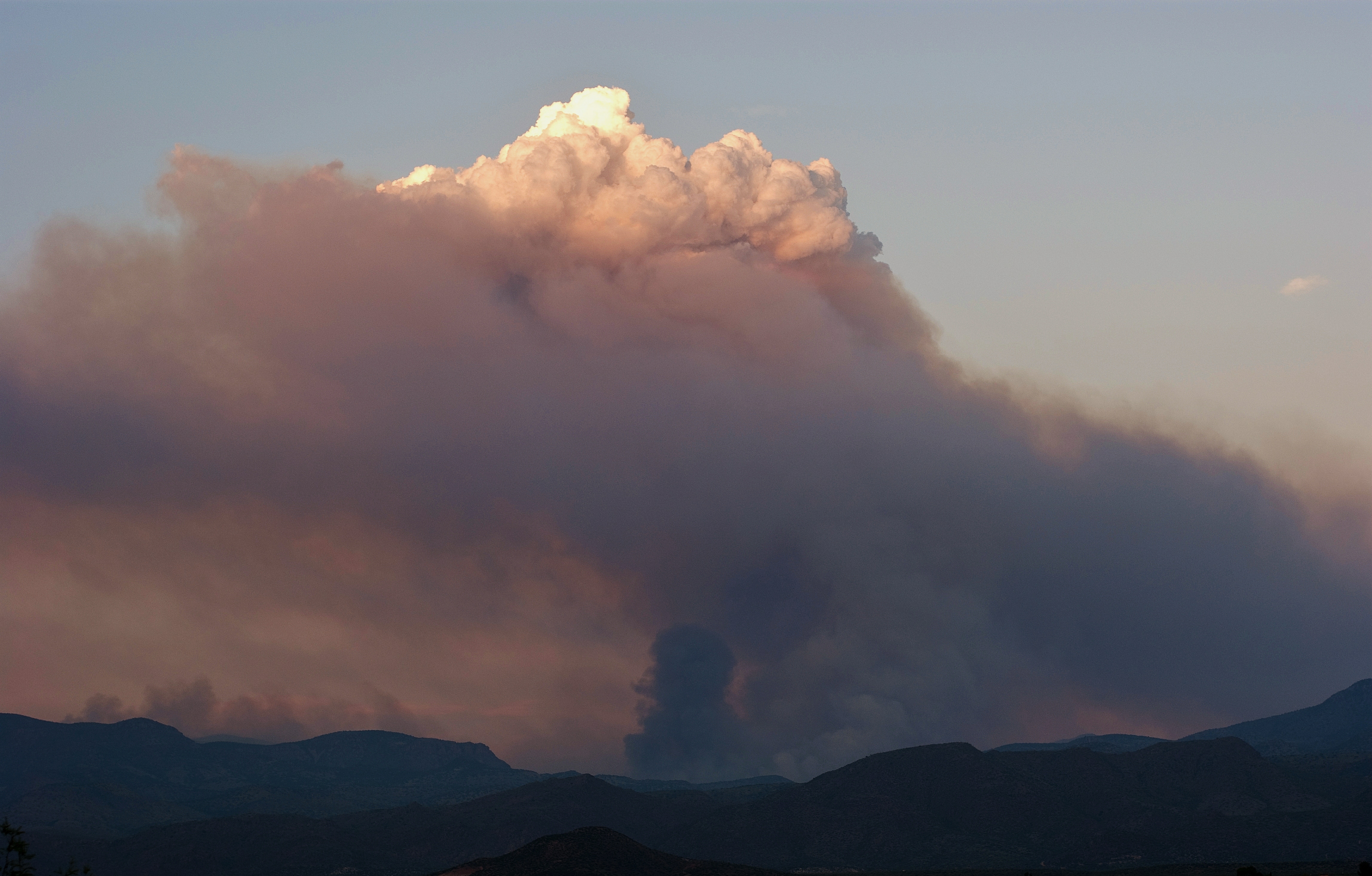
Mistake Peak Fire at Sunset
Sunset Sunflower Fire Smoke
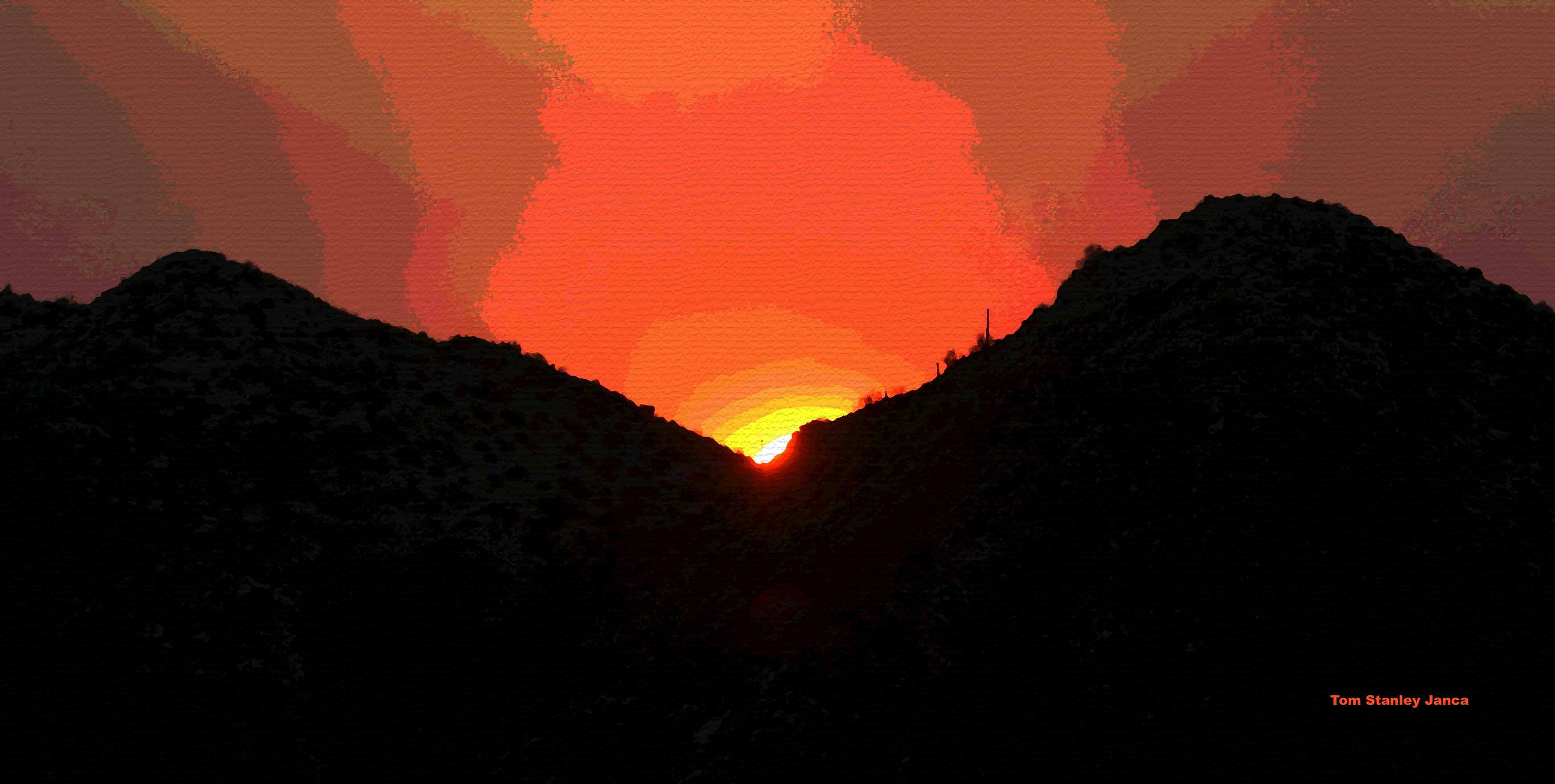
031415-Setting Sun Hwy 87
Not Happening

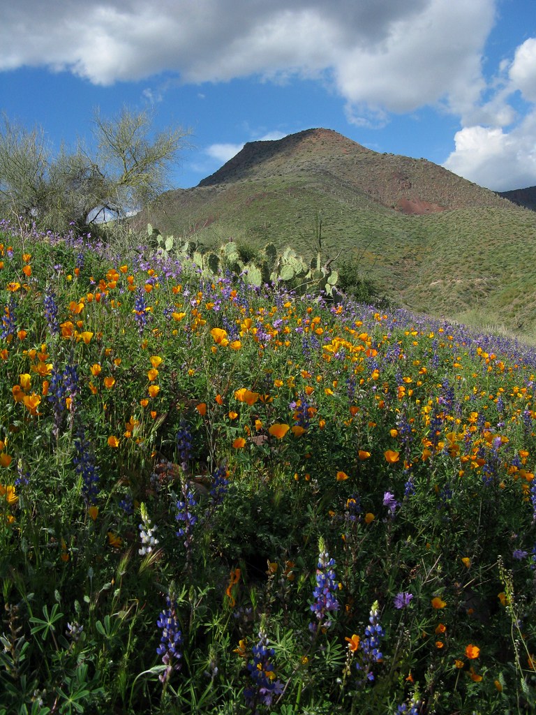
Mt Ord Arizona

View from the top of Mt Ord, Gila County, Arizona

Four Peaks Rd (FR143)

View from the top of Mt Ord, Gila County, Arizona

Four Peaks Rd (FR143)

Four Peaks Rd (FR143)

Four Peaks Rd (FR143)

Four Peaks Rd (FR143)
Desert Highway

Four Peaks Rd (FR143)

Four Peaks Rd (FR143)

Mt. Ord Wedding

Four Peaks Rd (FR143)

Four Peaks Rd (FR143)

Four Peaks Rd (FR143)

Four Peaks Rd (FR143)

Four Peaks Rd (FR143)

Four Peaks Rd (FR143)

Four Peaks Rd (FR143)

Four Peaks Rd (FR143)
アメリカ合衆国 〒 アリゾナ州 トント・ベイシンの地図
別の場所を検索
アメリカ合衆国 〒 アリゾナ州 トント・ベイシンでの場所
近所の場所
Rocky Rd, Tonto Basin, AZ アメリカ合衆国
アメリカ合衆国 〒 アリゾナ州 トント・ベイシン パンキン・センター
アメリカ合衆国 〒 アリゾナ州 ウィットニー・ランチ・エステーツ
アメリカ合衆国 〒 アリゾナ州 リオ・ヴェルデ
Deercreek Dr, Arizona アメリカ合衆国ディアークリーク・ドライブ
Deercreek Dr, Payson, AZ アメリカ合衆国
Deercreek Dr, Payson, AZ アメリカ合衆国
アメリカ合衆国 〒 アリゾナ州 ギスラ
アメリカ合衆国 〒 アリゾナ州 マサトサル・ピーク
Oxbow Trail, Payson, AZ アメリカ合衆国
Oxbow Trail, Payson, AZ アメリカ合衆国
アメリカ合衆国 〒 アリゾナ州 ノース・ピーク
W Gibson Ranch Rd, Payson, AZ アメリカ合衆国West Gibson Ranch Road
Highway 87, Mile Marker, Payson, AZ アメリカ合衆国Mazatzal Hotel & Casino
E Phoenix St, Payson, AZ アメリカ合衆国
アメリカ合衆国 〒 アリゾナ州 ペイソン
W Frontier St, Payson, AZ アメリカ合衆国
S Tonto St, Payson, AZ アメリカ合衆国
S Beeline Hwy A, Payson, AZ アメリカ合衆国Days Inn & Suites by Wyndham Payson
S Beeline Hwy, Payson, AZ アメリカ合衆国
最近の検索
- アメリカ合衆国 アラスカ州 レッド・ドッグ・マイン日の出日の入り時間
- Am bhf, Borken, ドイツアム・バーンホーフ日の出日の入り時間
- 4th St E, Sonoma, CA, USA日の出日の入り時間
- Oakland Ave, Williamsport, PA アメリカ合衆国日の出日の入り時間
- Via Roma, Pieranica CR, イタリアローマ通り日の出日の入り時間
- クロアチア 〒 ドゥブロブニク GradClock Tower of Dubrovnik日の出日の入り時間
- アルゼンチン チュブ州 トレリュー日の出日の入り時間
- Hartfords Bluff Cir, Mt Pleasant, SC アメリカ合衆国日の出日の入り時間
- 日本、熊本県熊本市北区日の出日の入り時間
- 中華人民共和国 福州市 平潭県 平潭島日の出日の入り時間