アメリカ合衆国 ユタ州 パドル・バレー日の出日の入り時間
Location: アメリカ合衆国 > ユタ州 > ボックスエルダー >
時間帯:
America/Denver
現地時間:
2025-07-07 12:57:44
経度:
-112.9341455
緯度:
41.0165996
今日の日の出時刻:
06:07:56 AM
今日の日の入時刻:
09:05:59 PM
今日の日長:
14h 58m 3s
明日の日の出時刻:
06:08:38 AM
明日の日の入時刻:
09:05:35 PM
明日の日長:
14h 56m 57s
すべて表示する
| 日付 | 日出 | 日没 | 日長 |
|---|---|---|---|
| 2025年01月01日 | 07:56:41 AM | 05:15:10 PM | 9h 18m 29s |
| 2025年01月02日 | 07:56:43 AM | 05:16:04 PM | 9h 19m 21s |
| 2025年01月03日 | 07:56:43 AM | 05:16:58 PM | 9h 20m 15s |
| 2025年01月04日 | 07:56:40 AM | 05:17:54 PM | 9h 21m 14s |
| 2025年01月05日 | 07:56:35 AM | 05:18:52 PM | 9h 22m 17s |
| 2025年01月06日 | 07:56:28 AM | 05:19:51 PM | 9h 23m 23s |
| 2025年01月07日 | 07:56:19 AM | 05:20:51 PM | 9h 24m 32s |
| 2025年01月08日 | 07:56:07 AM | 05:21:52 PM | 9h 25m 45s |
| 2025年01月09日 | 07:55:53 AM | 05:22:54 PM | 9h 27m 1s |
| 2025年01月10日 | 07:55:37 AM | 05:23:58 PM | 9h 28m 21s |
| 2025年01月11日 | 07:55:18 AM | 05:25:03 PM | 9h 29m 45s |
| 2025年01月12日 | 07:54:57 AM | 05:26:08 PM | 9h 31m 11s |
| 2025年01月13日 | 07:54:34 AM | 05:27:15 PM | 9h 32m 41s |
| 2025年01月14日 | 07:54:09 AM | 05:28:22 PM | 9h 34m 13s |
| 2025年01月15日 | 07:53:42 AM | 05:29:30 PM | 9h 35m 48s |
| 2025年01月16日 | 07:53:12 AM | 05:30:39 PM | 9h 37m 27s |
| 2025年01月17日 | 07:52:40 AM | 05:31:49 PM | 9h 39m 9s |
| 2025年01月18日 | 07:52:07 AM | 05:32:59 PM | 9h 40m 52s |
| 2025年01月19日 | 07:51:31 AM | 05:34:10 PM | 9h 42m 39s |
| 2025年01月20日 | 07:50:53 AM | 05:35:22 PM | 9h 44m 29s |
| 2025年01月21日 | 07:50:13 AM | 05:36:34 PM | 9h 46m 21s |
| 2025年01月22日 | 07:49:31 AM | 05:37:46 PM | 9h 48m 15s |
| 2025年01月23日 | 07:48:47 AM | 05:38:59 PM | 9h 50m 12s |
| 2025年01月24日 | 07:48:01 AM | 05:40:13 PM | 9h 52m 12s |
| 2025年01月25日 | 07:47:13 AM | 05:41:26 PM | 9h 54m 13s |
| 2025年01月26日 | 07:46:23 AM | 05:42:40 PM | 9h 56m 17s |
| 2025年01月27日 | 07:45:31 AM | 05:43:54 PM | 9h 58m 23s |
| 2025年01月28日 | 07:44:38 AM | 05:45:09 PM | 10h 0m 31s |
| 2025年01月29日 | 07:43:43 AM | 05:46:23 PM | 10h 2m 40s |
| 2025年01月30日 | 07:42:46 AM | 05:47:38 PM | 10h 4m 52s |
| 2025年01月31日 | 07:41:47 AM | 05:48:53 PM | 10h 7m 6s |
| 2025年02月01日 | 07:40:46 AM | 05:50:07 PM | 10h 9m 21s |
| 2025年02月02日 | 07:39:44 AM | 05:51:22 PM | 10h 11m 38s |
| 2025年02月03日 | 07:38:41 AM | 05:52:37 PM | 10h 13m 56s |
| 2025年02月04日 | 07:37:35 AM | 05:53:52 PM | 10h 16m 17s |
| 2025年02月05日 | 07:36:28 AM | 05:55:07 PM | 10h 18m 39s |
| 2025年02月06日 | 07:35:20 AM | 05:56:21 PM | 10h 21m 1s |
| 2025年02月07日 | 07:34:10 AM | 05:57:36 PM | 10h 23m 26s |
| 2025年02月08日 | 07:32:59 AM | 05:58:50 PM | 10h 25m 51s |
| 2025年02月09日 | 07:31:46 AM | 06:00:05 PM | 10h 28m 19s |
| 2025年02月10日 | 07:30:32 AM | 06:01:19 PM | 10h 30m 47s |
| 2025年02月11日 | 07:29:17 AM | 06:02:32 PM | 10h 33m 15s |
| 2025年02月12日 | 07:28:00 AM | 06:03:46 PM | 10h 35m 46s |
| 2025年02月13日 | 07:26:42 AM | 06:05:00 PM | 10h 38m 18s |
| 2025年02月14日 | 07:25:23 AM | 06:06:13 PM | 10h 40m 50s |
| 2025年02月15日 | 07:24:03 AM | 06:07:26 PM | 10h 43m 23s |
| 2025年02月16日 | 07:22:41 AM | 06:08:39 PM | 10h 45m 58s |
| 2025年02月17日 | 07:21:19 AM | 06:09:51 PM | 10h 48m 32s |
| 2025年02月18日 | 07:19:55 AM | 06:11:03 PM | 10h 51m 8s |
| 2025年02月19日 | 07:18:30 AM | 06:12:15 PM | 10h 53m 45s |
| 2025年02月20日 | 07:17:05 AM | 06:13:27 PM | 10h 56m 22s |
| 2025年02月21日 | 07:15:38 AM | 06:14:38 PM | 10h 59m 0s |
| 2025年02月22日 | 07:14:10 AM | 06:15:49 PM | 11h 1m 39s |
| 2025年02月23日 | 07:12:42 AM | 06:17:00 PM | 11h 4m 18s |
| 2025年02月24日 | 07:11:13 AM | 06:18:10 PM | 11h 6m 57s |
| 2025年02月25日 | 07:09:42 AM | 06:19:20 PM | 11h 9m 38s |
| 2025年02月26日 | 07:08:11 AM | 06:20:30 PM | 11h 12m 19s |
| 2025年02月27日 | 07:06:40 AM | 06:21:40 PM | 11h 15m 0s |
| 2025年02月28日 | 07:05:07 AM | 06:22:49 PM | 11h 17m 42s |
| 2025年03月01日 | 07:03:34 AM | 06:23:58 PM | 11h 20m 24s |
| 2025年03月02日 | 07:02:00 AM | 06:25:07 PM | 11h 23m 7s |
| 2025年03月03日 | 07:00:26 AM | 06:26:15 PM | 11h 25m 49s |
| 2025年03月04日 | 06:58:50 AM | 06:27:23 PM | 11h 28m 33s |
| 2025年03月05日 | 06:57:15 AM | 06:28:31 PM | 11h 31m 16s |
| 2025年03月06日 | 06:55:39 AM | 06:29:38 PM | 11h 33m 59s |
| 2025年03月07日 | 06:54:02 AM | 06:30:46 PM | 11h 36m 44s |
| 2025年03月08日 | 06:52:25 AM | 06:31:53 PM | 11h 39m 28s |
| 2025年03月09日 | 07:50:51 AM | 07:32:57 PM | 11h 42m 6s |
| 2025年03月10日 | 07:49:13 AM | 07:34:03 PM | 11h 44m 50s |
| 2025年03月11日 | 07:47:35 AM | 07:35:10 PM | 11h 47m 35s |
| 2025年03月12日 | 07:45:56 AM | 07:36:16 PM | 11h 50m 20s |
| 2025年03月13日 | 07:44:17 AM | 07:37:22 PM | 11h 53m 5s |
| 2025年03月14日 | 07:42:38 AM | 07:38:27 PM | 11h 55m 49s |
| 2025年03月15日 | 07:40:58 AM | 07:39:33 PM | 11h 58m 35s |
| 2025年03月16日 | 07:39:19 AM | 07:40:38 PM | 12h 1m 19s |
| 2025年03月17日 | 07:37:39 AM | 07:41:43 PM | 12h 4m 4s |
| 2025年03月18日 | 07:35:59 AM | 07:42:48 PM | 12h 6m 49s |
| 2025年03月19日 | 07:34:18 AM | 07:43:53 PM | 12h 9m 35s |
| 2025年03月20日 | 07:32:38 AM | 07:44:57 PM | 12h 12m 19s |
| 2025年03月21日 | 07:30:58 AM | 07:46:02 PM | 12h 15m 4s |
| 2025年03月22日 | 07:29:17 AM | 07:47:06 PM | 12h 17m 49s |
| 2025年03月23日 | 07:27:37 AM | 07:48:11 PM | 12h 20m 34s |
| 2025年03月24日 | 07:25:57 AM | 07:49:15 PM | 12h 23m 18s |
| 2025年03月25日 | 07:24:16 AM | 07:50:19 PM | 12h 26m 3s |
| 2025年03月26日 | 07:22:36 AM | 07:51:23 PM | 12h 28m 47s |
| 2025年03月27日 | 07:20:56 AM | 07:52:27 PM | 12h 31m 31s |
| 2025年03月28日 | 07:19:16 AM | 07:53:31 PM | 12h 34m 15s |
| 2025年03月29日 | 07:17:36 AM | 07:54:34 PM | 12h 36m 58s |
| 2025年03月30日 | 07:15:57 AM | 07:55:38 PM | 12h 39m 41s |
| 2025年03月31日 | 07:14:17 AM | 07:56:42 PM | 12h 42m 25s |
| 2025年04月01日 | 07:12:38 AM | 07:57:46 PM | 12h 45m 8s |
| 2025年04月02日 | 07:11:00 AM | 07:58:49 PM | 12h 47m 49s |
| 2025年04月03日 | 07:09:21 AM | 07:59:53 PM | 12h 50m 32s |
| 2025年04月04日 | 07:07:43 AM | 08:00:57 PM | 12h 53m 14s |
| 2025年04月05日 | 07:06:06 AM | 08:02:00 PM | 12h 55m 54s |
| 2025年04月06日 | 07:04:28 AM | 08:03:04 PM | 12h 58m 36s |
| 2025年04月07日 | 07:02:52 AM | 08:04:07 PM | 13h 1m 15s |
| 2025年04月08日 | 07:01:15 AM | 08:05:11 PM | 13h 3m 56s |
| 2025年04月09日 | 06:59:40 AM | 08:06:15 PM | 13h 6m 35s |
| 2025年04月10日 | 06:58:04 AM | 08:07:18 PM | 13h 9m 14s |
| 2025年04月11日 | 06:56:30 AM | 08:08:22 PM | 13h 11m 52s |
| 2025年04月12日 | 06:54:56 AM | 08:09:26 PM | 13h 14m 30s |
| 2025年04月13日 | 06:53:22 AM | 08:10:29 PM | 13h 17m 7s |
| 2025年04月14日 | 06:51:50 AM | 08:11:33 PM | 13h 19m 43s |
| 2025年04月15日 | 06:50:18 AM | 08:12:37 PM | 13h 22m 19s |
| 2025年04月16日 | 06:48:47 AM | 08:13:40 PM | 13h 24m 53s |
| 2025年04月17日 | 06:47:16 AM | 08:14:44 PM | 13h 27m 28s |
| 2025年04月18日 | 06:45:46 AM | 08:15:48 PM | 13h 30m 2s |
| 2025年04月19日 | 06:44:18 AM | 08:16:52 PM | 13h 32m 34s |
| 2025年04月20日 | 06:42:50 AM | 08:17:56 PM | 13h 35m 6s |
| 2025年04月21日 | 06:41:23 AM | 08:18:59 PM | 13h 37m 36s |
| 2025年04月22日 | 06:39:56 AM | 08:20:03 PM | 13h 40m 7s |
| 2025年04月23日 | 06:38:31 AM | 08:21:07 PM | 13h 42m 36s |
| 2025年04月24日 | 06:37:07 AM | 08:22:10 PM | 13h 45m 3s |
| 2025年04月25日 | 06:35:44 AM | 08:23:14 PM | 13h 47m 30s |
| 2025年04月26日 | 06:34:22 AM | 08:24:18 PM | 13h 49m 56s |
| 2025年04月27日 | 06:33:01 AM | 08:25:21 PM | 13h 52m 20s |
| 2025年04月28日 | 06:31:41 AM | 08:26:24 PM | 13h 54m 43s |
| 2025年04月29日 | 06:30:22 AM | 08:27:28 PM | 13h 57m 6s |
| 2025年04月30日 | 06:29:05 AM | 08:28:31 PM | 13h 59m 26s |
| 2025年05月01日 | 06:27:48 AM | 08:29:34 PM | 14h 1m 46s |
| 2025年05月02日 | 06:26:33 AM | 08:30:37 PM | 14h 4m 4s |
| 2025年05月03日 | 06:25:19 AM | 08:31:40 PM | 14h 6m 21s |
| 2025年05月04日 | 06:24:07 AM | 08:32:42 PM | 14h 8m 35s |
| 2025年05月05日 | 06:22:56 AM | 08:33:44 PM | 14h 10m 48s |
| 2025年05月06日 | 06:21:46 AM | 08:34:46 PM | 14h 13m 0s |
| 2025年05月07日 | 06:20:38 AM | 08:35:48 PM | 14h 15m 10s |
| 2025年05月08日 | 06:19:31 AM | 08:36:50 PM | 14h 17m 19s |
| 2025年05月09日 | 06:18:25 AM | 08:37:51 PM | 14h 19m 26s |
| 2025年05月10日 | 06:17:22 AM | 08:38:52 PM | 14h 21m 30s |
| 2025年05月11日 | 06:16:19 AM | 08:39:52 PM | 14h 23m 33s |
| 2025年05月12日 | 06:15:18 AM | 08:40:52 PM | 14h 25m 34s |
| 2025年05月13日 | 06:14:19 AM | 08:41:51 PM | 14h 27m 32s |
| 2025年05月14日 | 06:13:21 AM | 08:42:50 PM | 14h 29m 29s |
| 2025年05月15日 | 06:12:25 AM | 08:43:49 PM | 14h 31m 24s |
| 2025年05月16日 | 06:11:31 AM | 08:44:47 PM | 14h 33m 16s |
| 2025年05月17日 | 06:10:39 AM | 08:45:44 PM | 14h 35m 5s |
| 2025年05月18日 | 06:09:48 AM | 08:46:41 PM | 14h 36m 53s |
| 2025年05月19日 | 06:08:59 AM | 08:47:37 PM | 14h 38m 38s |
| 2025年05月20日 | 06:08:11 AM | 08:48:32 PM | 14h 40m 21s |
| 2025年05月21日 | 06:07:26 AM | 08:49:27 PM | 14h 42m 1s |
| 2025年05月22日 | 06:06:42 AM | 08:50:21 PM | 14h 43m 39s |
| 2025年05月23日 | 06:06:00 AM | 08:51:14 PM | 14h 45m 14s |
| 2025年05月24日 | 06:05:20 AM | 08:52:06 PM | 14h 46m 46s |
| 2025年05月25日 | 06:04:42 AM | 08:52:57 PM | 14h 48m 15s |
| 2025年05月26日 | 06:04:06 AM | 08:53:47 PM | 14h 49m 41s |
| 2025年05月27日 | 06:03:31 AM | 08:54:37 PM | 14h 51m 6s |
| 2025年05月28日 | 06:02:59 AM | 08:55:25 PM | 14h 52m 26s |
| 2025年05月29日 | 06:02:29 AM | 08:56:12 PM | 14h 53m 43s |
| 2025年05月30日 | 06:02:00 AM | 08:56:58 PM | 14h 54m 58s |
| 2025年05月31日 | 06:01:34 AM | 08:57:43 PM | 14h 56m 9s |
| 2025年06月01日 | 06:01:09 AM | 08:58:27 PM | 14h 57m 18s |
| 2025年06月02日 | 06:00:47 AM | 08:59:09 PM | 14h 58m 22s |
| 2025年06月03日 | 06:00:26 AM | 08:59:50 PM | 14h 59m 24s |
| 2025年06月04日 | 06:00:08 AM | 09:00:30 PM | 15h 0m 22s |
| 2025年06月05日 | 05:59:51 AM | 09:01:08 PM | 15h 1m 17s |
| 2025年06月06日 | 05:59:37 AM | 09:01:45 PM | 15h 2m 8s |
| 2025年06月07日 | 05:59:25 AM | 09:02:21 PM | 15h 2m 56s |
| 2025年06月08日 | 05:59:14 AM | 09:02:55 PM | 15h 3m 41s |
| 2025年06月09日 | 05:59:06 AM | 09:03:27 PM | 15h 4m 21s |
| 2025年06月10日 | 05:58:59 AM | 09:03:58 PM | 15h 4m 59s |
| 2025年06月11日 | 05:58:55 AM | 09:04:27 PM | 15h 5m 32s |
| 2025年06月12日 | 05:58:52 AM | 09:04:55 PM | 15h 6m 3s |
| 2025年06月13日 | 05:58:52 AM | 09:05:20 PM | 15h 6m 28s |
| 2025年06月14日 | 05:58:54 AM | 09:05:45 PM | 15h 6m 51s |
| 2025年06月15日 | 05:58:57 AM | 09:06:07 PM | 15h 7m 10s |
| 2025年06月16日 | 05:59:03 AM | 09:06:27 PM | 15h 7m 24s |
| 2025年06月17日 | 05:59:10 AM | 09:06:46 PM | 15h 7m 36s |
| 2025年06月18日 | 05:59:19 AM | 09:07:03 PM | 15h 7m 44s |
| 2025年06月19日 | 05:59:30 AM | 09:07:18 PM | 15h 7m 48s |
| 2025年06月20日 | 05:59:43 AM | 09:07:31 PM | 15h 7m 48s |
| 2025年06月21日 | 05:59:58 AM | 09:07:42 PM | 15h 7m 44s |
| 2025年06月22日 | 06:00:15 AM | 09:07:52 PM | 15h 7m 37s |
| 2025年06月23日 | 06:00:33 AM | 09:07:59 PM | 15h 7m 26s |
| 2025年06月24日 | 06:00:53 AM | 09:08:04 PM | 15h 7m 11s |
| 2025年06月25日 | 06:01:15 AM | 09:08:08 PM | 15h 6m 53s |
| 2025年06月26日 | 06:01:39 AM | 09:08:09 PM | 15h 6m 30s |
| 2025年06月27日 | 06:02:04 AM | 09:08:08 PM | 15h 6m 4s |
| 2025年06月28日 | 06:02:31 AM | 09:08:06 PM | 15h 5m 35s |
| 2025年06月29日 | 06:02:59 AM | 09:08:01 PM | 15h 5m 2s |
| 2025年06月30日 | 06:03:29 AM | 09:07:54 PM | 15h 4m 25s |
| 2025年07月01日 | 06:04:01 AM | 09:07:45 PM | 15h 3m 44s |
| 2025年07月02日 | 06:04:34 AM | 09:07:34 PM | 15h 3m 0s |
| 2025年07月03日 | 06:05:08 AM | 09:07:21 PM | 15h 2m 13s |
| 2025年07月04日 | 06:05:44 AM | 09:07:06 PM | 15h 1m 22s |
| 2025年07月05日 | 06:06:21 AM | 09:06:49 PM | 15h 0m 28s |
| 2025年07月06日 | 06:07:00 AM | 09:06:30 PM | 14h 59m 30s |
| 2025年07月07日 | 06:07:39 AM | 09:06:09 PM | 14h 58m 30s |
| 2025年07月08日 | 06:08:20 AM | 09:05:45 PM | 14h 57m 25s |
| 2025年07月09日 | 06:09:03 AM | 09:05:20 PM | 14h 56m 17s |
| 2025年07月10日 | 06:09:46 AM | 09:04:53 PM | 14h 55m 7s |
| 2025年07月11日 | 06:10:30 AM | 09:04:24 PM | 14h 53m 54s |
| 2025年07月12日 | 06:11:16 AM | 09:03:52 PM | 14h 52m 36s |
| 2025年07月13日 | 06:12:02 AM | 09:03:19 PM | 14h 51m 17s |
| 2025年07月14日 | 06:12:49 AM | 09:02:44 PM | 14h 49m 55s |
| 2025年07月15日 | 06:13:38 AM | 09:02:06 PM | 14h 48m 28s |
| 2025年07月16日 | 06:14:27 AM | 09:01:27 PM | 14h 47m 0s |
| 2025年07月17日 | 06:15:17 AM | 09:00:46 PM | 14h 45m 29s |
| 2025年07月18日 | 06:16:08 AM | 09:00:03 PM | 14h 43m 55s |
| 2025年07月19日 | 06:16:59 AM | 08:59:19 PM | 14h 42m 20s |
| 2025年07月20日 | 06:17:52 AM | 08:58:32 PM | 14h 40m 40s |
| 2025年07月21日 | 06:18:45 AM | 08:57:44 PM | 14h 38m 59s |
| 2025年07月22日 | 06:19:38 AM | 08:56:53 PM | 14h 37m 15s |
| 2025年07月23日 | 06:20:33 AM | 08:56:01 PM | 14h 35m 28s |
| 2025年07月24日 | 06:21:27 AM | 08:55:08 PM | 14h 33m 41s |
| 2025年07月25日 | 06:22:23 AM | 08:54:12 PM | 14h 31m 49s |
| 2025年07月26日 | 06:23:18 AM | 08:53:15 PM | 14h 29m 57s |
| 2025年07月27日 | 06:24:15 AM | 08:52:16 PM | 14h 28m 1s |
| 2025年07月28日 | 06:25:11 AM | 08:51:16 PM | 14h 26m 5s |
| 2025年07月29日 | 06:26:08 AM | 08:50:14 PM | 14h 24m 6s |
| 2025年07月30日 | 06:27:06 AM | 08:49:10 PM | 14h 22m 4s |
| 2025年07月31日 | 06:28:04 AM | 08:48:05 PM | 14h 20m 1s |
| 2025年08月01日 | 06:29:02 AM | 08:46:58 PM | 14h 17m 56s |
| 2025年08月02日 | 06:30:00 AM | 08:45:50 PM | 14h 15m 50s |
| 2025年08月03日 | 06:30:59 AM | 08:44:40 PM | 14h 13m 41s |
| 2025年08月04日 | 06:31:57 AM | 08:43:29 PM | 14h 11m 32s |
| 2025年08月05日 | 06:32:56 AM | 08:42:17 PM | 14h 9m 21s |
| 2025年08月06日 | 06:33:55 AM | 08:41:03 PM | 14h 7m 8s |
| 2025年08月07日 | 06:34:55 AM | 08:39:48 PM | 14h 4m 53s |
| 2025年08月08日 | 06:35:54 AM | 08:38:31 PM | 14h 2m 37s |
| 2025年08月09日 | 06:36:54 AM | 08:37:14 PM | 14h 0m 20s |
| 2025年08月10日 | 06:37:53 AM | 08:35:55 PM | 13h 58m 2s |
| 2025年08月11日 | 06:38:53 AM | 08:34:35 PM | 13h 55m 42s |
| 2025年08月12日 | 06:39:53 AM | 08:33:13 PM | 13h 53m 20s |
| 2025年08月13日 | 06:40:53 AM | 08:31:51 PM | 13h 50m 58s |
| 2025年08月14日 | 06:41:53 AM | 08:30:27 PM | 13h 48m 34s |
| 2025年08月15日 | 06:42:52 AM | 08:29:03 PM | 13h 46m 11s |
| 2025年08月16日 | 06:43:52 AM | 08:27:37 PM | 13h 43m 45s |
| 2025年08月17日 | 06:44:52 AM | 08:26:10 PM | 13h 41m 18s |
| 2025年08月18日 | 06:45:52 AM | 08:24:43 PM | 13h 38m 51s |
| 2025年08月19日 | 06:46:52 AM | 08:23:14 PM | 13h 36m 22s |
| 2025年08月20日 | 06:47:52 AM | 08:21:45 PM | 13h 33m 53s |
| 2025年08月21日 | 06:48:51 AM | 08:20:14 PM | 13h 31m 23s |
| 2025年08月22日 | 06:49:51 AM | 08:18:43 PM | 13h 28m 52s |
| 2025年08月23日 | 06:50:51 AM | 08:17:11 PM | 13h 26m 20s |
| 2025年08月24日 | 06:51:51 AM | 08:15:38 PM | 13h 23m 47s |
| 2025年08月25日 | 06:52:50 AM | 08:14:05 PM | 13h 21m 15s |
| 2025年08月26日 | 06:53:50 AM | 08:12:31 PM | 13h 18m 41s |
| 2025年08月27日 | 06:54:49 AM | 08:10:56 PM | 13h 16m 7s |
| 2025年08月28日 | 06:55:49 AM | 08:09:20 PM | 13h 13m 31s |
| 2025年08月29日 | 06:56:48 AM | 08:07:44 PM | 13h 10m 56s |
| 2025年08月30日 | 06:57:47 AM | 08:06:07 PM | 13h 8m 20s |
| 2025年08月31日 | 06:58:47 AM | 08:04:29 PM | 13h 5m 42s |
| 2025年09月01日 | 06:59:46 AM | 08:02:51 PM | 13h 3m 5s |
| 2025年09月02日 | 07:00:45 AM | 08:01:13 PM | 13h 0m 28s |
| 2025年09月03日 | 07:01:44 AM | 07:59:34 PM | 12h 57m 50s |
| 2025年09月04日 | 07:02:44 AM | 07:57:55 PM | 12h 55m 11s |
| 2025年09月05日 | 07:03:43 AM | 07:56:15 PM | 12h 52m 32s |
| 2025年09月06日 | 07:04:42 AM | 07:54:35 PM | 12h 49m 53s |
| 2025年09月07日 | 07:05:41 AM | 07:52:54 PM | 12h 47m 13s |
| 2025年09月08日 | 07:06:40 AM | 07:51:13 PM | 12h 44m 33s |
| 2025年09月09日 | 07:07:39 AM | 07:49:32 PM | 12h 41m 53s |
| 2025年09月10日 | 07:08:39 AM | 07:47:51 PM | 12h 39m 12s |
| 2025年09月11日 | 07:09:38 AM | 07:46:09 PM | 12h 36m 31s |
| 2025年09月12日 | 07:10:37 AM | 07:44:27 PM | 12h 33m 50s |
| 2025年09月13日 | 07:11:36 AM | 07:42:45 PM | 12h 31m 9s |
| 2025年09月14日 | 07:12:36 AM | 07:41:03 PM | 12h 28m 27s |
| 2025年09月15日 | 07:13:35 AM | 07:39:21 PM | 12h 25m 46s |
| 2025年09月16日 | 07:14:35 AM | 07:37:38 PM | 12h 23m 3s |
| 2025年09月17日 | 07:15:34 AM | 07:35:56 PM | 12h 20m 22s |
| 2025年09月18日 | 07:16:34 AM | 07:34:13 PM | 12h 17m 39s |
| 2025年09月19日 | 07:17:34 AM | 07:32:31 PM | 12h 14m 57s |
| 2025年09月20日 | 07:18:34 AM | 07:30:48 PM | 12h 12m 14s |
| 2025年09月21日 | 07:19:34 AM | 07:29:06 PM | 12h 9m 32s |
| 2025年09月22日 | 07:20:34 AM | 07:27:24 PM | 12h 6m 50s |
| 2025年09月23日 | 07:21:34 AM | 07:25:42 PM | 12h 4m 8s |
| 2025年09月24日 | 07:22:35 AM | 07:24:00 PM | 12h 1m 25s |
| 2025年09月25日 | 07:23:35 AM | 07:22:18 PM | 11h 58m 43s |
| 2025年09月26日 | 07:24:36 AM | 07:20:36 PM | 11h 56m 0s |
| 2025年09月27日 | 07:25:37 AM | 07:18:55 PM | 11h 53m 18s |
| 2025年09月28日 | 07:26:38 AM | 07:17:14 PM | 11h 50m 36s |
| 2025年09月29日 | 07:27:40 AM | 07:15:33 PM | 11h 47m 53s |
| 2025年09月30日 | 07:28:42 AM | 07:13:52 PM | 11h 45m 10s |
| 2025年10月01日 | 07:29:44 AM | 07:12:12 PM | 11h 42m 28s |
| 2025年10月02日 | 07:30:46 AM | 07:10:32 PM | 11h 39m 46s |
| 2025年10月03日 | 07:31:48 AM | 07:08:53 PM | 11h 37m 5s |
| 2025年10月04日 | 07:32:51 AM | 07:07:14 PM | 11h 34m 23s |
| 2025年10月05日 | 07:33:54 AM | 07:05:36 PM | 11h 31m 42s |
| 2025年10月06日 | 07:34:57 AM | 07:03:58 PM | 11h 29m 1s |
| 2025年10月07日 | 07:36:01 AM | 07:02:21 PM | 11h 26m 20s |
| 2025年10月08日 | 07:37:04 AM | 07:00:44 PM | 11h 23m 40s |
| 2025年10月09日 | 07:38:09 AM | 06:59:08 PM | 11h 20m 59s |
| 2025年10月10日 | 07:39:13 AM | 06:57:33 PM | 11h 18m 20s |
| 2025年10月11日 | 07:40:18 AM | 06:55:58 PM | 11h 15m 40s |
| 2025年10月12日 | 07:41:23 AM | 06:54:24 PM | 11h 13m 1s |
| 2025年10月13日 | 07:42:28 AM | 06:52:50 PM | 11h 10m 22s |
| 2025年10月14日 | 07:43:34 AM | 06:51:18 PM | 11h 7m 44s |
| 2025年10月15日 | 07:44:40 AM | 06:49:46 PM | 11h 5m 6s |
| 2025年10月16日 | 07:45:46 AM | 06:48:15 PM | 11h 2m 29s |
| 2025年10月17日 | 07:46:53 AM | 06:46:45 PM | 10h 59m 52s |
| 2025年10月18日 | 07:48:00 AM | 06:45:16 PM | 10h 57m 16s |
| 2025年10月19日 | 07:49:07 AM | 06:43:48 PM | 10h 54m 41s |
| 2025年10月20日 | 07:50:15 AM | 06:42:21 PM | 10h 52m 6s |
| 2025年10月21日 | 07:51:23 AM | 06:40:55 PM | 10h 49m 32s |
| 2025年10月22日 | 07:52:31 AM | 06:39:30 PM | 10h 46m 59s |
| 2025年10月23日 | 07:53:40 AM | 06:38:06 PM | 10h 44m 26s |
| 2025年10月24日 | 07:54:49 AM | 06:36:43 PM | 10h 41m 54s |
| 2025年10月25日 | 07:55:58 AM | 06:35:22 PM | 10h 39m 24s |
| 2025年10月26日 | 07:57:07 AM | 06:34:01 PM | 10h 36m 54s |
| 2025年10月27日 | 07:58:17 AM | 06:32:42 PM | 10h 34m 25s |
| 2025年10月28日 | 07:59:27 AM | 06:31:24 PM | 10h 31m 57s |
| 2025年10月29日 | 08:00:37 AM | 06:30:07 PM | 10h 29m 30s |
| 2025年10月30日 | 08:01:48 AM | 06:28:52 PM | 10h 27m 4s |
| 2025年10月31日 | 08:02:58 AM | 06:27:38 PM | 10h 24m 40s |
| 2025年11月01日 | 08:04:09 AM | 06:26:26 PM | 10h 22m 17s |
| 2025年11月02日 | 07:05:23 AM | 05:25:12 PM | 10h 19m 49s |
| 2025年11月03日 | 07:06:34 AM | 05:24:02 PM | 10h 17m 28s |
| 2025年11月04日 | 07:07:45 AM | 05:22:54 PM | 10h 15m 9s |
| 2025年11月05日 | 07:08:57 AM | 05:21:48 PM | 10h 12m 51s |
| 2025年11月06日 | 07:10:08 AM | 05:20:43 PM | 10h 10m 35s |
| 2025年11月07日 | 07:11:20 AM | 05:19:40 PM | 10h 8m 20s |
| 2025年11月08日 | 07:12:31 AM | 05:18:38 PM | 10h 6m 7s |
| 2025年11月09日 | 07:13:43 AM | 05:17:38 PM | 10h 3m 55s |
| 2025年11月10日 | 07:14:54 AM | 05:16:40 PM | 10h 1m 46s |
| 2025年11月11日 | 07:16:06 AM | 05:15:44 PM | 9h 59m 38s |
| 2025年11月12日 | 07:17:17 AM | 05:14:49 PM | 9h 57m 32s |
| 2025年11月13日 | 07:18:28 AM | 05:13:57 PM | 9h 55m 29s |
| 2025年11月14日 | 07:19:39 AM | 05:13:06 PM | 9h 53m 27s |
| 2025年11月15日 | 07:20:50 AM | 05:12:17 PM | 9h 51m 27s |
| 2025年11月16日 | 07:22:00 AM | 05:11:30 PM | 9h 49m 30s |
| 2025年11月17日 | 07:23:11 AM | 05:10:45 PM | 9h 47m 34s |
| 2025年11月18日 | 07:24:20 AM | 05:10:02 PM | 9h 45m 42s |
| 2025年11月19日 | 07:25:30 AM | 05:09:21 PM | 9h 43m 51s |
| 2025年11月20日 | 07:26:39 AM | 05:08:42 PM | 9h 42m 3s |
| 2025年11月21日 | 07:27:47 AM | 05:08:06 PM | 9h 40m 19s |
| 2025年11月22日 | 07:28:55 AM | 05:07:31 PM | 9h 38m 36s |
| 2025年11月23日 | 07:30:02 AM | 05:06:59 PM | 9h 36m 57s |
| 2025年11月24日 | 07:31:09 AM | 05:06:28 PM | 9h 35m 19s |
| 2025年11月25日 | 07:32:15 AM | 05:06:00 PM | 9h 33m 45s |
| 2025年11月26日 | 07:33:20 AM | 05:05:34 PM | 9h 32m 14s |
| 2025年11月27日 | 07:34:25 AM | 05:05:11 PM | 9h 30m 46s |
| 2025年11月28日 | 07:35:28 AM | 05:04:49 PM | 9h 29m 21s |
| 2025年11月29日 | 07:36:31 AM | 05:04:30 PM | 9h 27m 59s |
| 2025年11月30日 | 07:37:32 AM | 05:04:13 PM | 9h 26m 41s |
| 2025年12月01日 | 07:38:33 AM | 05:03:59 PM | 9h 25m 26s |
| 2025年12月02日 | 07:39:33 AM | 05:03:46 PM | 9h 24m 13s |
| 2025年12月03日 | 07:40:31 AM | 05:03:36 PM | 9h 23m 5s |
| 2025年12月04日 | 07:41:28 AM | 05:03:29 PM | 9h 22m 1s |
| 2025年12月05日 | 07:42:24 AM | 05:03:23 PM | 9h 20m 59s |
| 2025年12月06日 | 07:43:19 AM | 05:03:20 PM | 9h 20m 1s |
| 2025年12月07日 | 07:44:12 AM | 05:03:20 PM | 9h 19m 8s |
| 2025年12月08日 | 07:45:04 AM | 05:03:22 PM | 9h 18m 18s |
| 2025年12月09日 | 07:45:54 AM | 05:03:26 PM | 9h 17m 32s |
| 2025年12月10日 | 07:46:43 AM | 05:03:32 PM | 9h 16m 49s |
| 2025年12月11日 | 07:47:30 AM | 05:03:41 PM | 9h 16m 11s |
| 2025年12月12日 | 07:48:16 AM | 05:03:52 PM | 9h 15m 36s |
| 2025年12月13日 | 07:49:00 AM | 05:04:05 PM | 9h 15m 5s |
| 2025年12月14日 | 07:49:42 AM | 05:04:20 PM | 9h 14m 38s |
| 2025年12月15日 | 07:50:22 AM | 05:04:38 PM | 9h 14m 16s |
| 2025年12月16日 | 07:51:01 AM | 05:04:58 PM | 9h 13m 57s |
| 2025年12月17日 | 07:51:37 AM | 05:05:21 PM | 9h 13m 44s |
| 2025年12月18日 | 07:52:12 AM | 05:05:45 PM | 9h 13m 33s |
| 2025年12月19日 | 07:52:45 AM | 05:06:12 PM | 9h 13m 27s |
| 2025年12月20日 | 07:53:16 AM | 05:06:40 PM | 9h 13m 24s |
| 2025年12月21日 | 07:53:45 AM | 05:07:11 PM | 9h 13m 26s |
| 2025年12月22日 | 07:54:12 AM | 05:07:44 PM | 9h 13m 32s |
| 2025年12月23日 | 07:54:36 AM | 05:08:19 PM | 9h 13m 43s |
| 2025年12月24日 | 07:54:59 AM | 05:08:56 PM | 9h 13m 57s |
| 2025年12月25日 | 07:55:19 AM | 05:09:35 PM | 9h 14m 16s |
| 2025年12月26日 | 07:55:37 AM | 05:10:16 PM | 9h 14m 39s |
| 2025年12月27日 | 07:55:54 AM | 05:10:58 PM | 9h 15m 4s |
| 2025年12月28日 | 07:56:07 AM | 05:11:43 PM | 9h 15m 36s |
| 2025年12月29日 | 07:56:19 AM | 05:12:29 PM | 9h 16m 10s |
| 2025年12月30日 | 07:56:28 AM | 05:13:17 PM | 9h 16m 49s |
| 2025年12月31日 | 07:56:35 AM | 05:14:06 PM | 9h 17m 31s |
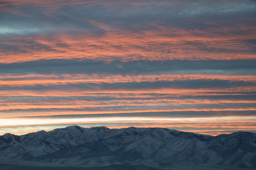
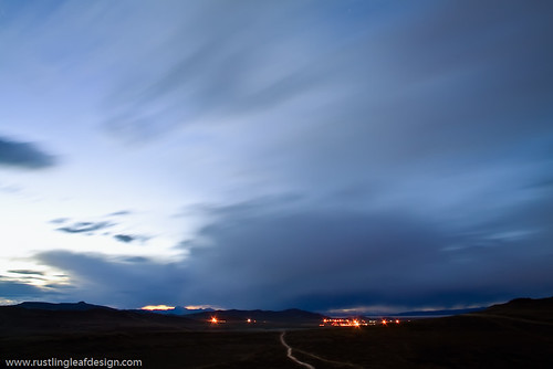
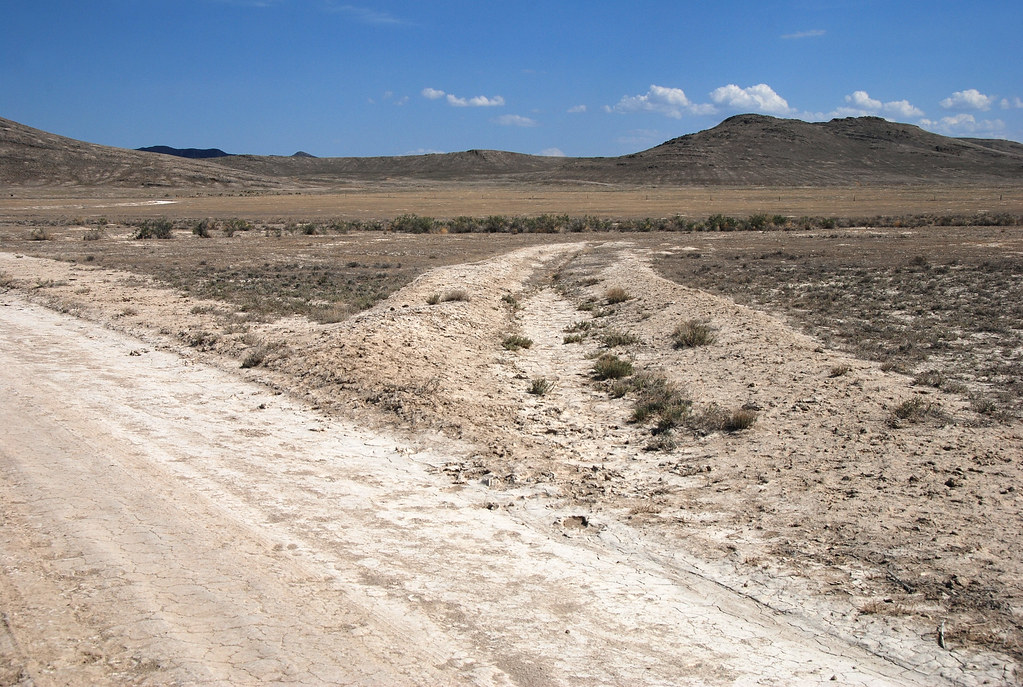
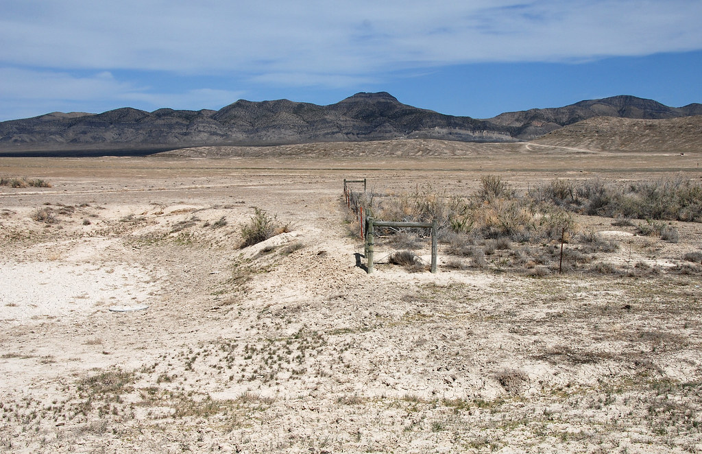
写真
Sunset at Oasis
UTTR @ Great Salt Lake, Utah
.20080506_6003...Mysterious formations---8 of 8: Ditch
.20080506_5979...Mysterious formations---5 of 8: Water hole
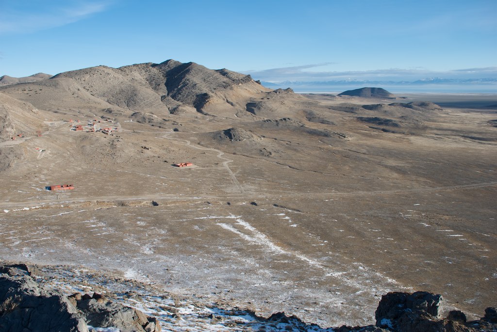
Lakeside Mountains, Utah
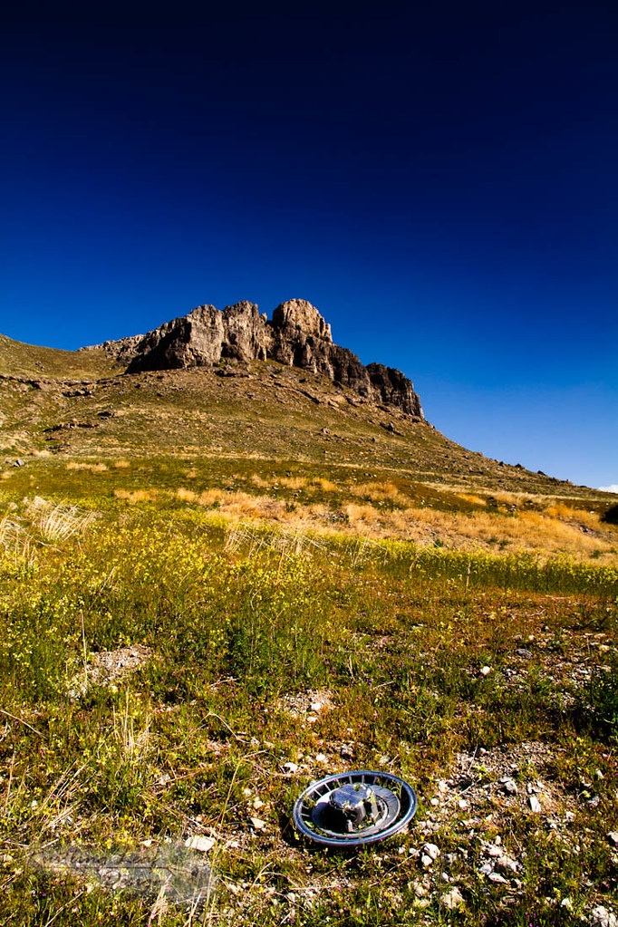
hub cap

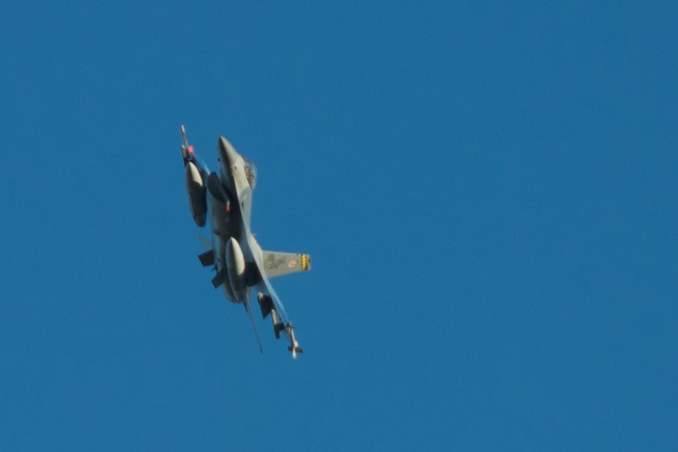
Ready to fire on our targets
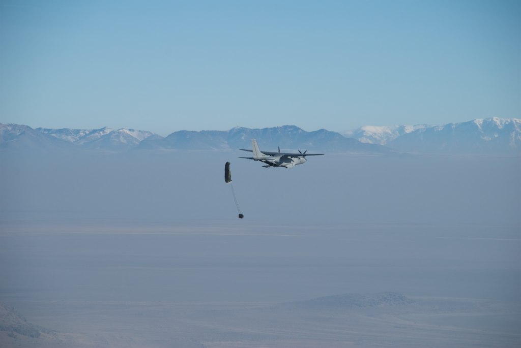
Supply drop
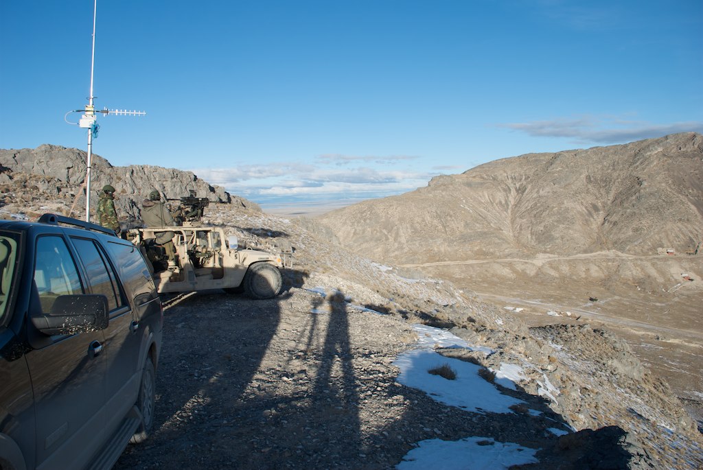
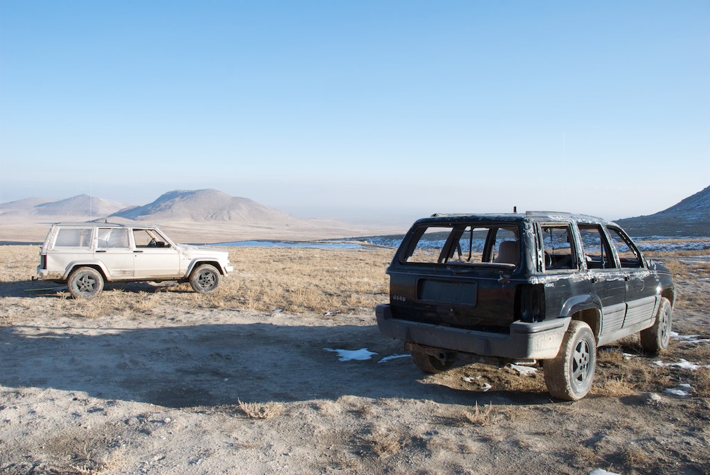
Ground Control
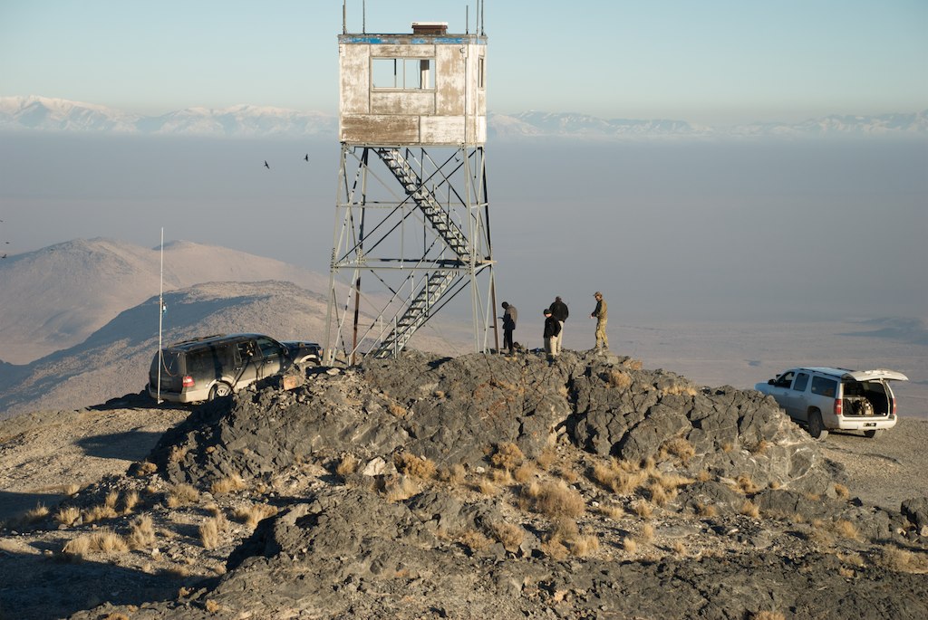
Oasis target range
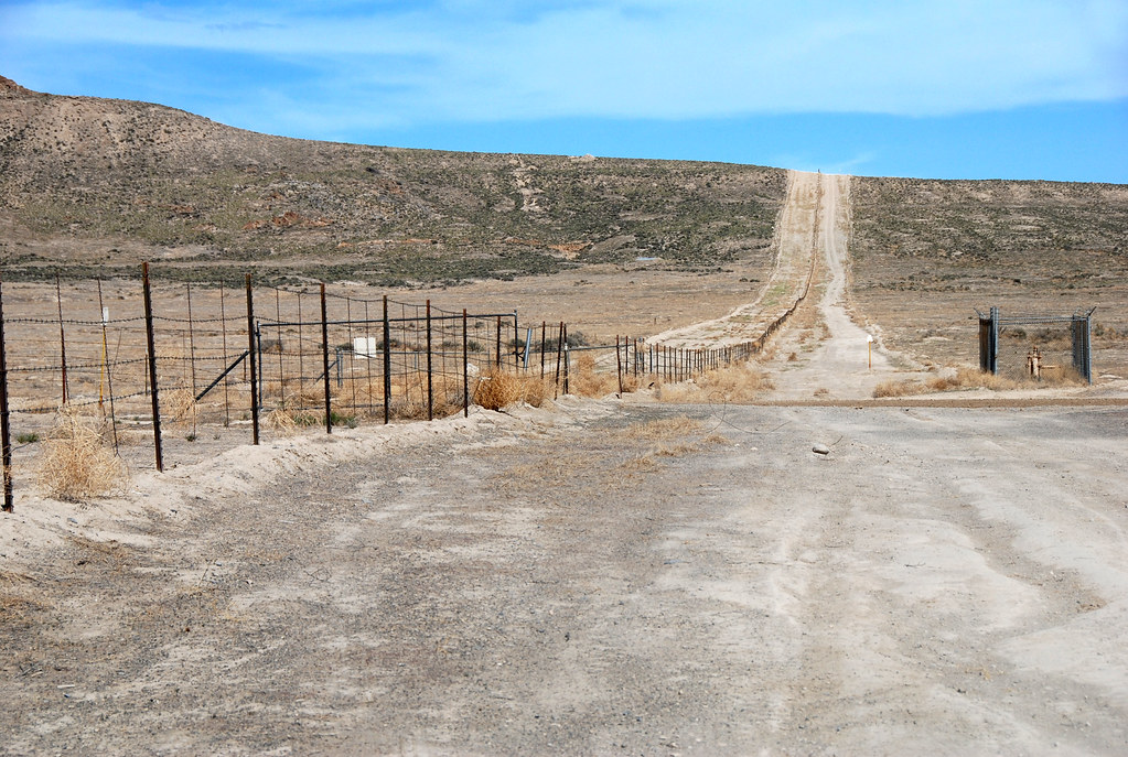
UTTR boundary---eastward... 20080506_6019
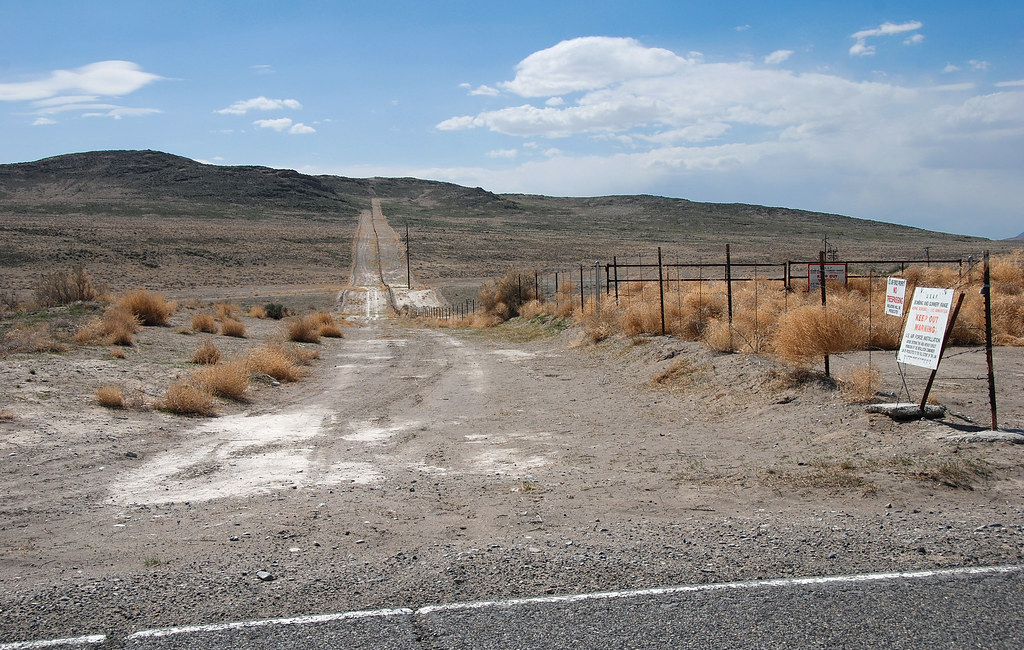
UTTR boundary---west... .20080506_6024
Targets ready for action
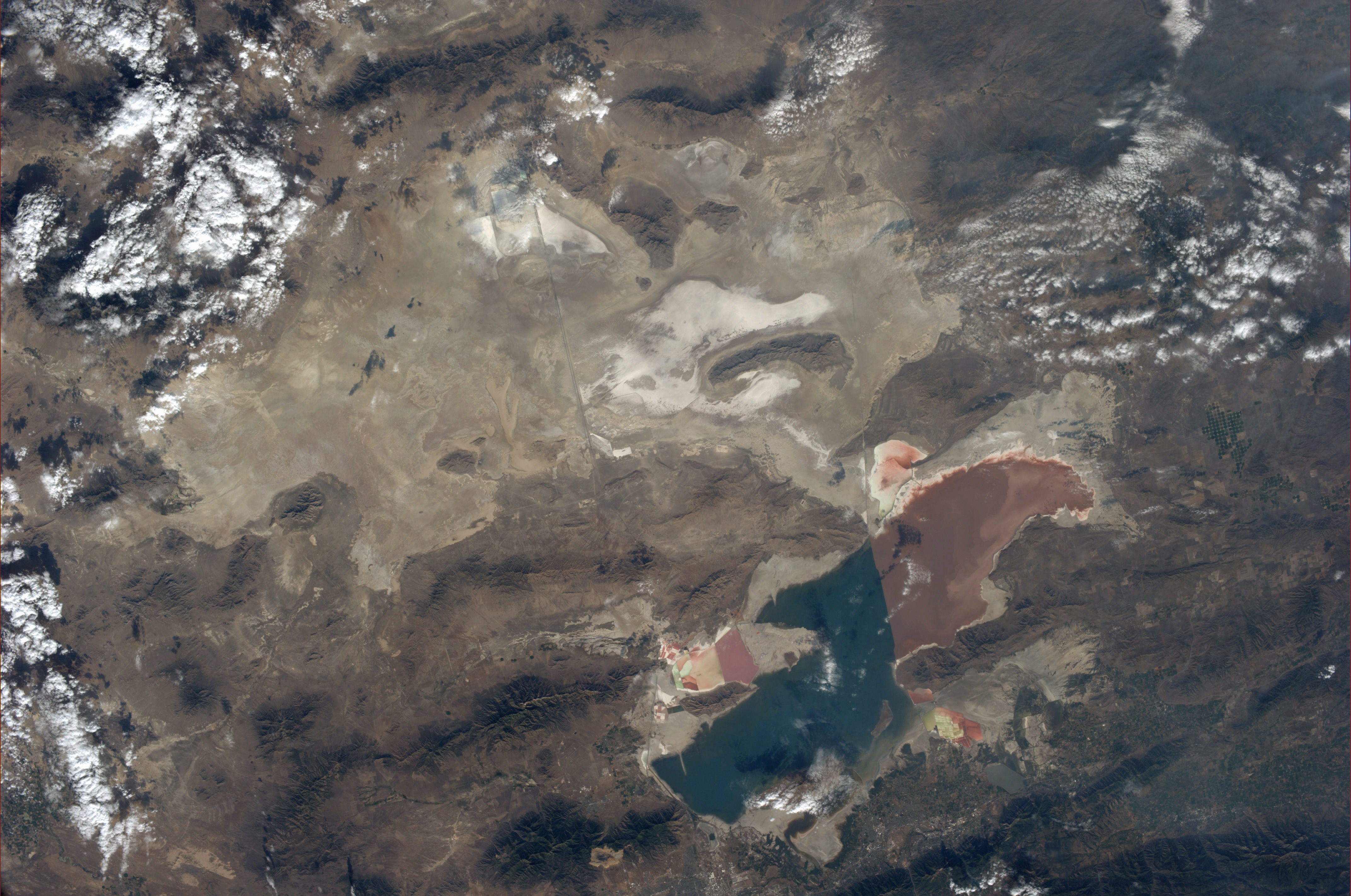
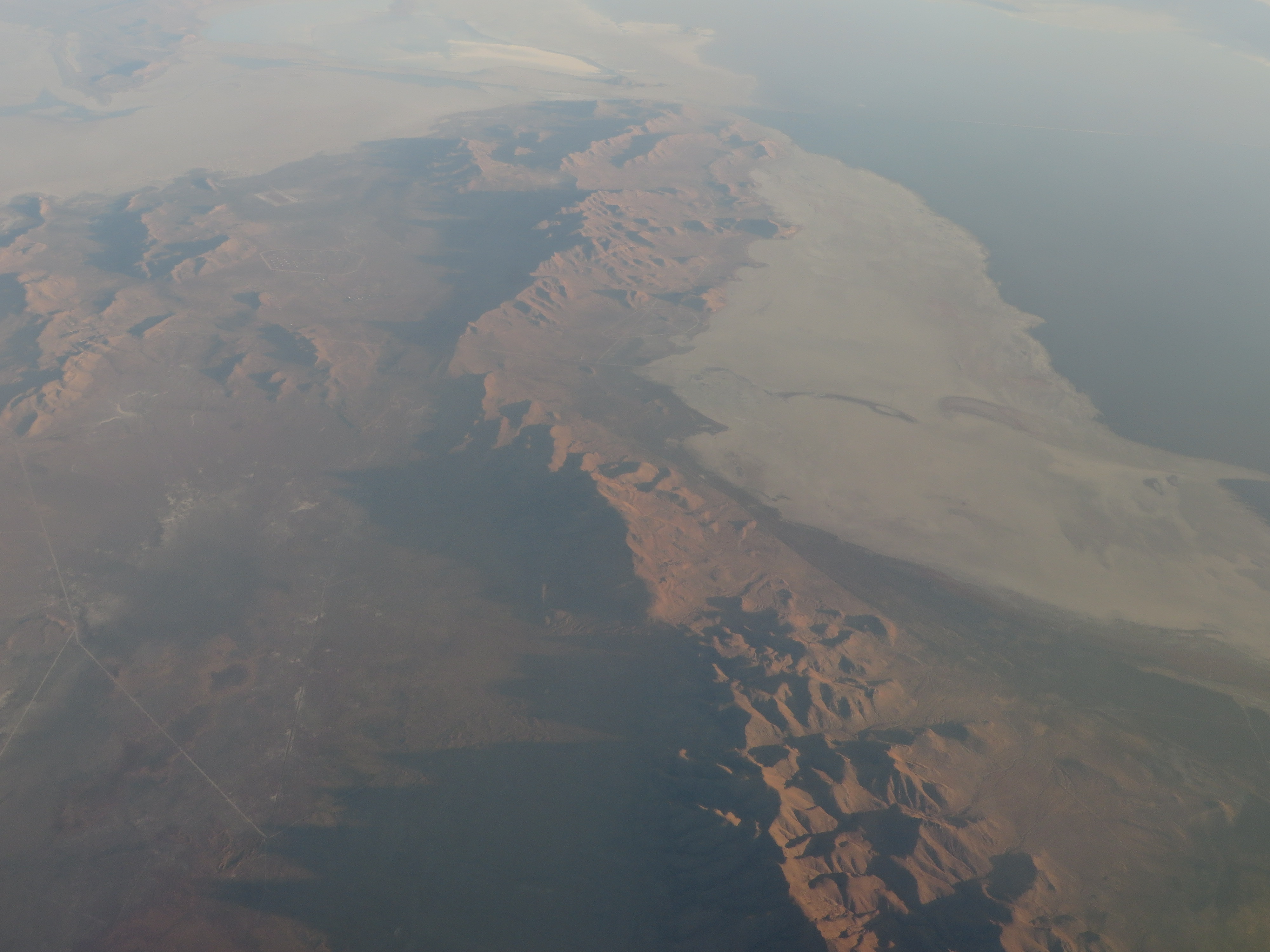
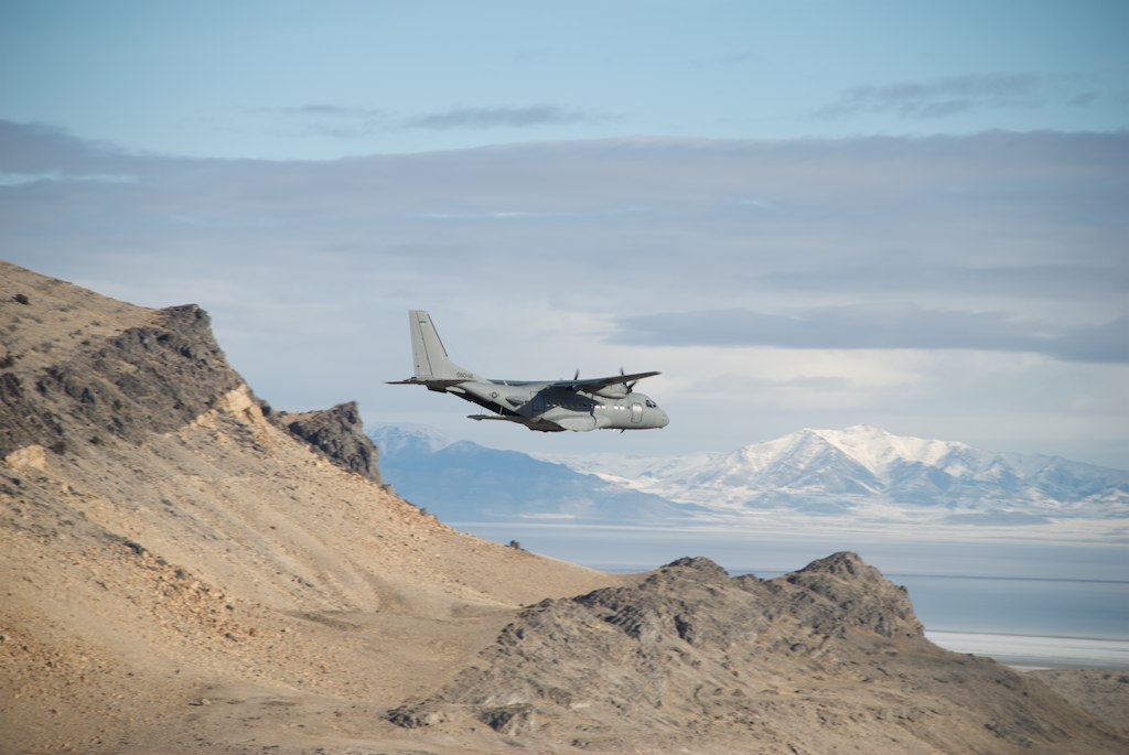
The Great Salt Lake, Utah
Ground Control
After action assessment
Final approach
After action assessment
After action assessment
JTAC close-ups

Having some fun at 500 yards
Supply drop
Coming in for the kill
アメリカ合衆国 ユタ州 パドル・バレーの地図
別の場所を検索
近所の場所
アメリカ合衆国 ユタ州 ボックスエルダー
アメリカ合衆国 〒 ユタ州 パーク・バレー
アメリカ合衆国 〒 ユタ州 ウェンドオーバー
アメリカ合衆国 〒 ユタ州 シダー・クリーク
アメリカ合衆国 〒 ユタ州 スノーヴィル
アメリカ合衆国 〒 アイダホ州 ストーン
アメリカ合衆国 〒 ユタ州 ソウトゥース・ナショナル・フォレスト
アメリカ合衆国 〒 アイダホ州 ジュニパー
Almo Rd, Almo, ID アメリカ合衆国City Of Rocks Idaho
アメリカ合衆国 アイダホ州 アルモー
Elba-Almo Rd, Malta, ID アメリカ合衆国
Malta, ID アメリカ合衆国シティ・オブ・ロックス国立保護区
Unnamed Road, Malta, ID アメリカ合衆国Stines Creek Trailhead, Castle Rocks State Park
最近の検索
- アメリカ合衆国 アラスカ州 レッド・ドッグ・マイン日の出日の入り時間
- Am bhf, Borken, ドイツアム・バーンホーフ日の出日の入り時間
- 4th St E, Sonoma, CA, USA日の出日の入り時間
- Oakland Ave, Williamsport, PA アメリカ合衆国日の出日の入り時間
- Via Roma, Pieranica CR, イタリアローマ通り日の出日の入り時間
- クロアチア 〒 ドゥブロブニク GradClock Tower of Dubrovnik日の出日の入り時間
- アルゼンチン チュブ州 トレリュー日の出日の入り時間
- Hartfords Bluff Cir, Mt Pleasant, SC アメリカ合衆国日の出日の入り時間
- 日本、熊本県熊本市北区日の出日の入り時間
- 中華人民共和国 福州市 平潭県 平潭島日の出日の入り時間