Puddle Valley, Utah, USA Sonnenaufgang Sonnenuntergang Zeiten
Location: USA > Utah > Box Elder County >
Zeitzone:
America/Denver
Ortszeit:
2025-06-16 06:03:53
Länge:
-112.9341455
Breite:
41.0165996
Sonnenaufgang Heute:
05:58:59 AM
Sonnenuntergang Heute:
09:06:16 PM
Tageslänge heute:
15h 7m 17s
Sonnenaufgang morgen:
05:59:05 AM
Sonnenuntergang Morgen:
09:06:35 PM
Tageslänge von morgen:
15h 7m 30s
Alle Termine anzeigen
| Datum | Sonnenaufgang | Sonnenuntergang | Tageslänge |
|---|---|---|---|
| 2025-01-01 | 07:56:41 AM | 05:15:10 PM | 9h 18m 29s |
| 2025-01-02 | 07:56:43 AM | 05:16:04 PM | 9h 19m 21s |
| 2025-01-03 | 07:56:43 AM | 05:16:58 PM | 9h 20m 15s |
| 2025-01-04 | 07:56:40 AM | 05:17:54 PM | 9h 21m 14s |
| 2025-01-05 | 07:56:35 AM | 05:18:52 PM | 9h 22m 17s |
| 2025-01-06 | 07:56:28 AM | 05:19:51 PM | 9h 23m 23s |
| 2025-01-07 | 07:56:19 AM | 05:20:51 PM | 9h 24m 32s |
| 2025-01-08 | 07:56:07 AM | 05:21:52 PM | 9h 25m 45s |
| 2025-01-09 | 07:55:53 AM | 05:22:54 PM | 9h 27m 1s |
| 2025-01-10 | 07:55:37 AM | 05:23:58 PM | 9h 28m 21s |
| 2025-01-11 | 07:55:18 AM | 05:25:03 PM | 9h 29m 45s |
| 2025-01-12 | 07:54:57 AM | 05:26:08 PM | 9h 31m 11s |
| 2025-01-13 | 07:54:34 AM | 05:27:15 PM | 9h 32m 41s |
| 2025-01-14 | 07:54:09 AM | 05:28:22 PM | 9h 34m 13s |
| 2025-01-15 | 07:53:42 AM | 05:29:30 PM | 9h 35m 48s |
| 2025-01-16 | 07:53:12 AM | 05:30:39 PM | 9h 37m 27s |
| 2025-01-17 | 07:52:40 AM | 05:31:49 PM | 9h 39m 9s |
| 2025-01-18 | 07:52:07 AM | 05:32:59 PM | 9h 40m 52s |
| 2025-01-19 | 07:51:31 AM | 05:34:10 PM | 9h 42m 39s |
| 2025-01-20 | 07:50:53 AM | 05:35:22 PM | 9h 44m 29s |
| 2025-01-21 | 07:50:13 AM | 05:36:34 PM | 9h 46m 21s |
| 2025-01-22 | 07:49:31 AM | 05:37:46 PM | 9h 48m 15s |
| 2025-01-23 | 07:48:47 AM | 05:38:59 PM | 9h 50m 12s |
| 2025-01-24 | 07:48:01 AM | 05:40:13 PM | 9h 52m 12s |
| 2025-01-25 | 07:47:13 AM | 05:41:26 PM | 9h 54m 13s |
| 2025-01-26 | 07:46:23 AM | 05:42:40 PM | 9h 56m 17s |
| 2025-01-27 | 07:45:31 AM | 05:43:54 PM | 9h 58m 23s |
| 2025-01-28 | 07:44:38 AM | 05:45:09 PM | 10h 0m 31s |
| 2025-01-29 | 07:43:43 AM | 05:46:23 PM | 10h 2m 40s |
| 2025-01-30 | 07:42:46 AM | 05:47:38 PM | 10h 4m 52s |
| 2025-01-31 | 07:41:47 AM | 05:48:53 PM | 10h 7m 6s |
| 2025-02-01 | 07:40:46 AM | 05:50:07 PM | 10h 9m 21s |
| 2025-02-02 | 07:39:44 AM | 05:51:22 PM | 10h 11m 38s |
| 2025-02-03 | 07:38:41 AM | 05:52:37 PM | 10h 13m 56s |
| 2025-02-04 | 07:37:35 AM | 05:53:52 PM | 10h 16m 17s |
| 2025-02-05 | 07:36:28 AM | 05:55:07 PM | 10h 18m 39s |
| 2025-02-06 | 07:35:20 AM | 05:56:21 PM | 10h 21m 1s |
| 2025-02-07 | 07:34:10 AM | 05:57:36 PM | 10h 23m 26s |
| 2025-02-08 | 07:32:59 AM | 05:58:50 PM | 10h 25m 51s |
| 2025-02-09 | 07:31:46 AM | 06:00:05 PM | 10h 28m 19s |
| 2025-02-10 | 07:30:32 AM | 06:01:19 PM | 10h 30m 47s |
| 2025-02-11 | 07:29:17 AM | 06:02:32 PM | 10h 33m 15s |
| 2025-02-12 | 07:28:00 AM | 06:03:46 PM | 10h 35m 46s |
| 2025-02-13 | 07:26:42 AM | 06:05:00 PM | 10h 38m 18s |
| 2025-02-14 | 07:25:23 AM | 06:06:13 PM | 10h 40m 50s |
| 2025-02-15 | 07:24:03 AM | 06:07:26 PM | 10h 43m 23s |
| 2025-02-16 | 07:22:41 AM | 06:08:39 PM | 10h 45m 58s |
| 2025-02-17 | 07:21:19 AM | 06:09:51 PM | 10h 48m 32s |
| 2025-02-18 | 07:19:55 AM | 06:11:03 PM | 10h 51m 8s |
| 2025-02-19 | 07:18:30 AM | 06:12:15 PM | 10h 53m 45s |
| 2025-02-20 | 07:17:05 AM | 06:13:27 PM | 10h 56m 22s |
| 2025-02-21 | 07:15:38 AM | 06:14:38 PM | 10h 59m 0s |
| 2025-02-22 | 07:14:10 AM | 06:15:49 PM | 11h 1m 39s |
| 2025-02-23 | 07:12:42 AM | 06:17:00 PM | 11h 4m 18s |
| 2025-02-24 | 07:11:13 AM | 06:18:10 PM | 11h 6m 57s |
| 2025-02-25 | 07:09:42 AM | 06:19:20 PM | 11h 9m 38s |
| 2025-02-26 | 07:08:11 AM | 06:20:30 PM | 11h 12m 19s |
| 2025-02-27 | 07:06:40 AM | 06:21:40 PM | 11h 15m 0s |
| 2025-02-28 | 07:05:07 AM | 06:22:49 PM | 11h 17m 42s |
| 2025-03-01 | 07:03:34 AM | 06:23:58 PM | 11h 20m 24s |
| 2025-03-02 | 07:02:00 AM | 06:25:07 PM | 11h 23m 7s |
| 2025-03-03 | 07:00:26 AM | 06:26:15 PM | 11h 25m 49s |
| 2025-03-04 | 06:58:50 AM | 06:27:23 PM | 11h 28m 33s |
| 2025-03-05 | 06:57:15 AM | 06:28:31 PM | 11h 31m 16s |
| 2025-03-06 | 06:55:39 AM | 06:29:38 PM | 11h 33m 59s |
| 2025-03-07 | 06:54:02 AM | 06:30:46 PM | 11h 36m 44s |
| 2025-03-08 | 06:52:25 AM | 06:31:53 PM | 11h 39m 28s |
| 2025-03-09 | 07:50:51 AM | 07:32:57 PM | 11h 42m 6s |
| 2025-03-10 | 07:49:13 AM | 07:34:03 PM | 11h 44m 50s |
| 2025-03-11 | 07:47:35 AM | 07:35:10 PM | 11h 47m 35s |
| 2025-03-12 | 07:45:56 AM | 07:36:16 PM | 11h 50m 20s |
| 2025-03-13 | 07:44:17 AM | 07:37:22 PM | 11h 53m 5s |
| 2025-03-14 | 07:42:38 AM | 07:38:27 PM | 11h 55m 49s |
| 2025-03-15 | 07:40:58 AM | 07:39:33 PM | 11h 58m 35s |
| 2025-03-16 | 07:39:19 AM | 07:40:38 PM | 12h 1m 19s |
| 2025-03-17 | 07:37:39 AM | 07:41:43 PM | 12h 4m 4s |
| 2025-03-18 | 07:35:59 AM | 07:42:48 PM | 12h 6m 49s |
| 2025-03-19 | 07:34:18 AM | 07:43:53 PM | 12h 9m 35s |
| 2025-03-20 | 07:32:38 AM | 07:44:57 PM | 12h 12m 19s |
| 2025-03-21 | 07:30:58 AM | 07:46:02 PM | 12h 15m 4s |
| 2025-03-22 | 07:29:17 AM | 07:47:06 PM | 12h 17m 49s |
| 2025-03-23 | 07:27:37 AM | 07:48:11 PM | 12h 20m 34s |
| 2025-03-24 | 07:25:57 AM | 07:49:15 PM | 12h 23m 18s |
| 2025-03-25 | 07:24:16 AM | 07:50:19 PM | 12h 26m 3s |
| 2025-03-26 | 07:22:36 AM | 07:51:23 PM | 12h 28m 47s |
| 2025-03-27 | 07:20:56 AM | 07:52:27 PM | 12h 31m 31s |
| 2025-03-28 | 07:19:16 AM | 07:53:31 PM | 12h 34m 15s |
| 2025-03-29 | 07:17:36 AM | 07:54:34 PM | 12h 36m 58s |
| 2025-03-30 | 07:15:57 AM | 07:55:38 PM | 12h 39m 41s |
| 2025-03-31 | 07:14:17 AM | 07:56:42 PM | 12h 42m 25s |
| 2025-04-01 | 07:12:38 AM | 07:57:46 PM | 12h 45m 8s |
| 2025-04-02 | 07:11:00 AM | 07:58:49 PM | 12h 47m 49s |
| 2025-04-03 | 07:09:21 AM | 07:59:53 PM | 12h 50m 32s |
| 2025-04-04 | 07:07:43 AM | 08:00:57 PM | 12h 53m 14s |
| 2025-04-05 | 07:06:06 AM | 08:02:00 PM | 12h 55m 54s |
| 2025-04-06 | 07:04:28 AM | 08:03:04 PM | 12h 58m 36s |
| 2025-04-07 | 07:02:52 AM | 08:04:07 PM | 13h 1m 15s |
| 2025-04-08 | 07:01:15 AM | 08:05:11 PM | 13h 3m 56s |
| 2025-04-09 | 06:59:40 AM | 08:06:15 PM | 13h 6m 35s |
| 2025-04-10 | 06:58:04 AM | 08:07:18 PM | 13h 9m 14s |
| 2025-04-11 | 06:56:30 AM | 08:08:22 PM | 13h 11m 52s |
| 2025-04-12 | 06:54:56 AM | 08:09:26 PM | 13h 14m 30s |
| 2025-04-13 | 06:53:22 AM | 08:10:29 PM | 13h 17m 7s |
| 2025-04-14 | 06:51:50 AM | 08:11:33 PM | 13h 19m 43s |
| 2025-04-15 | 06:50:18 AM | 08:12:37 PM | 13h 22m 19s |
| 2025-04-16 | 06:48:47 AM | 08:13:40 PM | 13h 24m 53s |
| 2025-04-17 | 06:47:16 AM | 08:14:44 PM | 13h 27m 28s |
| 2025-04-18 | 06:45:46 AM | 08:15:48 PM | 13h 30m 2s |
| 2025-04-19 | 06:44:18 AM | 08:16:52 PM | 13h 32m 34s |
| 2025-04-20 | 06:42:50 AM | 08:17:56 PM | 13h 35m 6s |
| 2025-04-21 | 06:41:23 AM | 08:18:59 PM | 13h 37m 36s |
| 2025-04-22 | 06:39:56 AM | 08:20:03 PM | 13h 40m 7s |
| 2025-04-23 | 06:38:31 AM | 08:21:07 PM | 13h 42m 36s |
| 2025-04-24 | 06:37:07 AM | 08:22:10 PM | 13h 45m 3s |
| 2025-04-25 | 06:35:44 AM | 08:23:14 PM | 13h 47m 30s |
| 2025-04-26 | 06:34:22 AM | 08:24:18 PM | 13h 49m 56s |
| 2025-04-27 | 06:33:01 AM | 08:25:21 PM | 13h 52m 20s |
| 2025-04-28 | 06:31:41 AM | 08:26:24 PM | 13h 54m 43s |
| 2025-04-29 | 06:30:22 AM | 08:27:28 PM | 13h 57m 6s |
| 2025-04-30 | 06:29:05 AM | 08:28:31 PM | 13h 59m 26s |
| 2025-05-01 | 06:27:48 AM | 08:29:34 PM | 14h 1m 46s |
| 2025-05-02 | 06:26:33 AM | 08:30:37 PM | 14h 4m 4s |
| 2025-05-03 | 06:25:19 AM | 08:31:40 PM | 14h 6m 21s |
| 2025-05-04 | 06:24:07 AM | 08:32:42 PM | 14h 8m 35s |
| 2025-05-05 | 06:22:56 AM | 08:33:44 PM | 14h 10m 48s |
| 2025-05-06 | 06:21:46 AM | 08:34:46 PM | 14h 13m 0s |
| 2025-05-07 | 06:20:38 AM | 08:35:48 PM | 14h 15m 10s |
| 2025-05-08 | 06:19:31 AM | 08:36:50 PM | 14h 17m 19s |
| 2025-05-09 | 06:18:25 AM | 08:37:51 PM | 14h 19m 26s |
| 2025-05-10 | 06:17:22 AM | 08:38:52 PM | 14h 21m 30s |
| 2025-05-11 | 06:16:19 AM | 08:39:52 PM | 14h 23m 33s |
| 2025-05-12 | 06:15:18 AM | 08:40:52 PM | 14h 25m 34s |
| 2025-05-13 | 06:14:19 AM | 08:41:51 PM | 14h 27m 32s |
| 2025-05-14 | 06:13:21 AM | 08:42:50 PM | 14h 29m 29s |
| 2025-05-15 | 06:12:25 AM | 08:43:49 PM | 14h 31m 24s |
| 2025-05-16 | 06:11:31 AM | 08:44:47 PM | 14h 33m 16s |
| 2025-05-17 | 06:10:39 AM | 08:45:44 PM | 14h 35m 5s |
| 2025-05-18 | 06:09:48 AM | 08:46:41 PM | 14h 36m 53s |
| 2025-05-19 | 06:08:59 AM | 08:47:37 PM | 14h 38m 38s |
| 2025-05-20 | 06:08:11 AM | 08:48:32 PM | 14h 40m 21s |
| 2025-05-21 | 06:07:26 AM | 08:49:27 PM | 14h 42m 1s |
| 2025-05-22 | 06:06:42 AM | 08:50:21 PM | 14h 43m 39s |
| 2025-05-23 | 06:06:00 AM | 08:51:14 PM | 14h 45m 14s |
| 2025-05-24 | 06:05:20 AM | 08:52:06 PM | 14h 46m 46s |
| 2025-05-25 | 06:04:42 AM | 08:52:57 PM | 14h 48m 15s |
| 2025-05-26 | 06:04:06 AM | 08:53:47 PM | 14h 49m 41s |
| 2025-05-27 | 06:03:31 AM | 08:54:37 PM | 14h 51m 6s |
| 2025-05-28 | 06:02:59 AM | 08:55:25 PM | 14h 52m 26s |
| 2025-05-29 | 06:02:29 AM | 08:56:12 PM | 14h 53m 43s |
| 2025-05-30 | 06:02:00 AM | 08:56:58 PM | 14h 54m 58s |
| 2025-05-31 | 06:01:34 AM | 08:57:43 PM | 14h 56m 9s |
| 2025-06-01 | 06:01:09 AM | 08:58:27 PM | 14h 57m 18s |
| 2025-06-02 | 06:00:47 AM | 08:59:09 PM | 14h 58m 22s |
| 2025-06-03 | 06:00:26 AM | 08:59:50 PM | 14h 59m 24s |
| 2025-06-04 | 06:00:08 AM | 09:00:30 PM | 15h 0m 22s |
| 2025-06-05 | 05:59:51 AM | 09:01:08 PM | 15h 1m 17s |
| 2025-06-06 | 05:59:37 AM | 09:01:45 PM | 15h 2m 8s |
| 2025-06-07 | 05:59:25 AM | 09:02:21 PM | 15h 2m 56s |
| 2025-06-08 | 05:59:14 AM | 09:02:55 PM | 15h 3m 41s |
| 2025-06-09 | 05:59:06 AM | 09:03:27 PM | 15h 4m 21s |
| 2025-06-10 | 05:58:59 AM | 09:03:58 PM | 15h 4m 59s |
| 2025-06-11 | 05:58:55 AM | 09:04:27 PM | 15h 5m 32s |
| 2025-06-12 | 05:58:52 AM | 09:04:55 PM | 15h 6m 3s |
| 2025-06-13 | 05:58:52 AM | 09:05:20 PM | 15h 6m 28s |
| 2025-06-14 | 05:58:54 AM | 09:05:45 PM | 15h 6m 51s |
| 2025-06-15 | 05:58:57 AM | 09:06:07 PM | 15h 7m 10s |
| 2025-06-16 | 05:59:03 AM | 09:06:27 PM | 15h 7m 24s |
| 2025-06-17 | 05:59:10 AM | 09:06:46 PM | 15h 7m 36s |
| 2025-06-18 | 05:59:19 AM | 09:07:03 PM | 15h 7m 44s |
| 2025-06-19 | 05:59:30 AM | 09:07:18 PM | 15h 7m 48s |
| 2025-06-20 | 05:59:43 AM | 09:07:31 PM | 15h 7m 48s |
| 2025-06-21 | 05:59:58 AM | 09:07:42 PM | 15h 7m 44s |
| 2025-06-22 | 06:00:15 AM | 09:07:52 PM | 15h 7m 37s |
| 2025-06-23 | 06:00:33 AM | 09:07:59 PM | 15h 7m 26s |
| 2025-06-24 | 06:00:53 AM | 09:08:04 PM | 15h 7m 11s |
| 2025-06-25 | 06:01:15 AM | 09:08:08 PM | 15h 6m 53s |
| 2025-06-26 | 06:01:39 AM | 09:08:09 PM | 15h 6m 30s |
| 2025-06-27 | 06:02:04 AM | 09:08:08 PM | 15h 6m 4s |
| 2025-06-28 | 06:02:31 AM | 09:08:06 PM | 15h 5m 35s |
| 2025-06-29 | 06:02:59 AM | 09:08:01 PM | 15h 5m 2s |
| 2025-06-30 | 06:03:29 AM | 09:07:54 PM | 15h 4m 25s |
| 2025-07-01 | 06:04:01 AM | 09:07:45 PM | 15h 3m 44s |
| 2025-07-02 | 06:04:34 AM | 09:07:34 PM | 15h 3m 0s |
| 2025-07-03 | 06:05:08 AM | 09:07:21 PM | 15h 2m 13s |
| 2025-07-04 | 06:05:44 AM | 09:07:06 PM | 15h 1m 22s |
| 2025-07-05 | 06:06:21 AM | 09:06:49 PM | 15h 0m 28s |
| 2025-07-06 | 06:07:00 AM | 09:06:30 PM | 14h 59m 30s |
| 2025-07-07 | 06:07:39 AM | 09:06:09 PM | 14h 58m 30s |
| 2025-07-08 | 06:08:20 AM | 09:05:45 PM | 14h 57m 25s |
| 2025-07-09 | 06:09:03 AM | 09:05:20 PM | 14h 56m 17s |
| 2025-07-10 | 06:09:46 AM | 09:04:53 PM | 14h 55m 7s |
| 2025-07-11 | 06:10:30 AM | 09:04:24 PM | 14h 53m 54s |
| 2025-07-12 | 06:11:16 AM | 09:03:52 PM | 14h 52m 36s |
| 2025-07-13 | 06:12:02 AM | 09:03:19 PM | 14h 51m 17s |
| 2025-07-14 | 06:12:49 AM | 09:02:44 PM | 14h 49m 55s |
| 2025-07-15 | 06:13:38 AM | 09:02:06 PM | 14h 48m 28s |
| 2025-07-16 | 06:14:27 AM | 09:01:27 PM | 14h 47m 0s |
| 2025-07-17 | 06:15:17 AM | 09:00:46 PM | 14h 45m 29s |
| 2025-07-18 | 06:16:08 AM | 09:00:03 PM | 14h 43m 55s |
| 2025-07-19 | 06:16:59 AM | 08:59:19 PM | 14h 42m 20s |
| 2025-07-20 | 06:17:52 AM | 08:58:32 PM | 14h 40m 40s |
| 2025-07-21 | 06:18:45 AM | 08:57:44 PM | 14h 38m 59s |
| 2025-07-22 | 06:19:38 AM | 08:56:53 PM | 14h 37m 15s |
| 2025-07-23 | 06:20:33 AM | 08:56:01 PM | 14h 35m 28s |
| 2025-07-24 | 06:21:27 AM | 08:55:08 PM | 14h 33m 41s |
| 2025-07-25 | 06:22:23 AM | 08:54:12 PM | 14h 31m 49s |
| 2025-07-26 | 06:23:18 AM | 08:53:15 PM | 14h 29m 57s |
| 2025-07-27 | 06:24:15 AM | 08:52:16 PM | 14h 28m 1s |
| 2025-07-28 | 06:25:11 AM | 08:51:16 PM | 14h 26m 5s |
| 2025-07-29 | 06:26:08 AM | 08:50:14 PM | 14h 24m 6s |
| 2025-07-30 | 06:27:06 AM | 08:49:10 PM | 14h 22m 4s |
| 2025-07-31 | 06:28:04 AM | 08:48:05 PM | 14h 20m 1s |
| 2025-08-01 | 06:29:02 AM | 08:46:58 PM | 14h 17m 56s |
| 2025-08-02 | 06:30:00 AM | 08:45:50 PM | 14h 15m 50s |
| 2025-08-03 | 06:30:59 AM | 08:44:40 PM | 14h 13m 41s |
| 2025-08-04 | 06:31:57 AM | 08:43:29 PM | 14h 11m 32s |
| 2025-08-05 | 06:32:56 AM | 08:42:17 PM | 14h 9m 21s |
| 2025-08-06 | 06:33:55 AM | 08:41:03 PM | 14h 7m 8s |
| 2025-08-07 | 06:34:55 AM | 08:39:48 PM | 14h 4m 53s |
| 2025-08-08 | 06:35:54 AM | 08:38:31 PM | 14h 2m 37s |
| 2025-08-09 | 06:36:54 AM | 08:37:14 PM | 14h 0m 20s |
| 2025-08-10 | 06:37:53 AM | 08:35:55 PM | 13h 58m 2s |
| 2025-08-11 | 06:38:53 AM | 08:34:35 PM | 13h 55m 42s |
| 2025-08-12 | 06:39:53 AM | 08:33:13 PM | 13h 53m 20s |
| 2025-08-13 | 06:40:53 AM | 08:31:51 PM | 13h 50m 58s |
| 2025-08-14 | 06:41:53 AM | 08:30:27 PM | 13h 48m 34s |
| 2025-08-15 | 06:42:52 AM | 08:29:03 PM | 13h 46m 11s |
| 2025-08-16 | 06:43:52 AM | 08:27:37 PM | 13h 43m 45s |
| 2025-08-17 | 06:44:52 AM | 08:26:10 PM | 13h 41m 18s |
| 2025-08-18 | 06:45:52 AM | 08:24:43 PM | 13h 38m 51s |
| 2025-08-19 | 06:46:52 AM | 08:23:14 PM | 13h 36m 22s |
| 2025-08-20 | 06:47:52 AM | 08:21:45 PM | 13h 33m 53s |
| 2025-08-21 | 06:48:51 AM | 08:20:14 PM | 13h 31m 23s |
| 2025-08-22 | 06:49:51 AM | 08:18:43 PM | 13h 28m 52s |
| 2025-08-23 | 06:50:51 AM | 08:17:11 PM | 13h 26m 20s |
| 2025-08-24 | 06:51:51 AM | 08:15:38 PM | 13h 23m 47s |
| 2025-08-25 | 06:52:50 AM | 08:14:05 PM | 13h 21m 15s |
| 2025-08-26 | 06:53:50 AM | 08:12:31 PM | 13h 18m 41s |
| 2025-08-27 | 06:54:49 AM | 08:10:56 PM | 13h 16m 7s |
| 2025-08-28 | 06:55:49 AM | 08:09:20 PM | 13h 13m 31s |
| 2025-08-29 | 06:56:48 AM | 08:07:44 PM | 13h 10m 56s |
| 2025-08-30 | 06:57:47 AM | 08:06:07 PM | 13h 8m 20s |
| 2025-08-31 | 06:58:47 AM | 08:04:29 PM | 13h 5m 42s |
| 2025-09-01 | 06:59:46 AM | 08:02:51 PM | 13h 3m 5s |
| 2025-09-02 | 07:00:45 AM | 08:01:13 PM | 13h 0m 28s |
| 2025-09-03 | 07:01:44 AM | 07:59:34 PM | 12h 57m 50s |
| 2025-09-04 | 07:02:44 AM | 07:57:55 PM | 12h 55m 11s |
| 2025-09-05 | 07:03:43 AM | 07:56:15 PM | 12h 52m 32s |
| 2025-09-06 | 07:04:42 AM | 07:54:35 PM | 12h 49m 53s |
| 2025-09-07 | 07:05:41 AM | 07:52:54 PM | 12h 47m 13s |
| 2025-09-08 | 07:06:40 AM | 07:51:13 PM | 12h 44m 33s |
| 2025-09-09 | 07:07:39 AM | 07:49:32 PM | 12h 41m 53s |
| 2025-09-10 | 07:08:39 AM | 07:47:51 PM | 12h 39m 12s |
| 2025-09-11 | 07:09:38 AM | 07:46:09 PM | 12h 36m 31s |
| 2025-09-12 | 07:10:37 AM | 07:44:27 PM | 12h 33m 50s |
| 2025-09-13 | 07:11:36 AM | 07:42:45 PM | 12h 31m 9s |
| 2025-09-14 | 07:12:36 AM | 07:41:03 PM | 12h 28m 27s |
| 2025-09-15 | 07:13:35 AM | 07:39:21 PM | 12h 25m 46s |
| 2025-09-16 | 07:14:35 AM | 07:37:38 PM | 12h 23m 3s |
| 2025-09-17 | 07:15:34 AM | 07:35:56 PM | 12h 20m 22s |
| 2025-09-18 | 07:16:34 AM | 07:34:13 PM | 12h 17m 39s |
| 2025-09-19 | 07:17:34 AM | 07:32:31 PM | 12h 14m 57s |
| 2025-09-20 | 07:18:34 AM | 07:30:48 PM | 12h 12m 14s |
| 2025-09-21 | 07:19:34 AM | 07:29:06 PM | 12h 9m 32s |
| 2025-09-22 | 07:20:34 AM | 07:27:24 PM | 12h 6m 50s |
| 2025-09-23 | 07:21:34 AM | 07:25:42 PM | 12h 4m 8s |
| 2025-09-24 | 07:22:35 AM | 07:24:00 PM | 12h 1m 25s |
| 2025-09-25 | 07:23:35 AM | 07:22:18 PM | 11h 58m 43s |
| 2025-09-26 | 07:24:36 AM | 07:20:36 PM | 11h 56m 0s |
| 2025-09-27 | 07:25:37 AM | 07:18:55 PM | 11h 53m 18s |
| 2025-09-28 | 07:26:38 AM | 07:17:14 PM | 11h 50m 36s |
| 2025-09-29 | 07:27:40 AM | 07:15:33 PM | 11h 47m 53s |
| 2025-09-30 | 07:28:42 AM | 07:13:52 PM | 11h 45m 10s |
| 2025-10-01 | 07:29:44 AM | 07:12:12 PM | 11h 42m 28s |
| 2025-10-02 | 07:30:46 AM | 07:10:32 PM | 11h 39m 46s |
| 2025-10-03 | 07:31:48 AM | 07:08:53 PM | 11h 37m 5s |
| 2025-10-04 | 07:32:51 AM | 07:07:14 PM | 11h 34m 23s |
| 2025-10-05 | 07:33:54 AM | 07:05:36 PM | 11h 31m 42s |
| 2025-10-06 | 07:34:57 AM | 07:03:58 PM | 11h 29m 1s |
| 2025-10-07 | 07:36:01 AM | 07:02:21 PM | 11h 26m 20s |
| 2025-10-08 | 07:37:04 AM | 07:00:44 PM | 11h 23m 40s |
| 2025-10-09 | 07:38:09 AM | 06:59:08 PM | 11h 20m 59s |
| 2025-10-10 | 07:39:13 AM | 06:57:33 PM | 11h 18m 20s |
| 2025-10-11 | 07:40:18 AM | 06:55:58 PM | 11h 15m 40s |
| 2025-10-12 | 07:41:23 AM | 06:54:24 PM | 11h 13m 1s |
| 2025-10-13 | 07:42:28 AM | 06:52:50 PM | 11h 10m 22s |
| 2025-10-14 | 07:43:34 AM | 06:51:18 PM | 11h 7m 44s |
| 2025-10-15 | 07:44:40 AM | 06:49:46 PM | 11h 5m 6s |
| 2025-10-16 | 07:45:46 AM | 06:48:15 PM | 11h 2m 29s |
| 2025-10-17 | 07:46:53 AM | 06:46:45 PM | 10h 59m 52s |
| 2025-10-18 | 07:48:00 AM | 06:45:16 PM | 10h 57m 16s |
| 2025-10-19 | 07:49:07 AM | 06:43:48 PM | 10h 54m 41s |
| 2025-10-20 | 07:50:15 AM | 06:42:21 PM | 10h 52m 6s |
| 2025-10-21 | 07:51:23 AM | 06:40:55 PM | 10h 49m 32s |
| 2025-10-22 | 07:52:31 AM | 06:39:30 PM | 10h 46m 59s |
| 2025-10-23 | 07:53:40 AM | 06:38:06 PM | 10h 44m 26s |
| 2025-10-24 | 07:54:49 AM | 06:36:43 PM | 10h 41m 54s |
| 2025-10-25 | 07:55:58 AM | 06:35:22 PM | 10h 39m 24s |
| 2025-10-26 | 07:57:07 AM | 06:34:01 PM | 10h 36m 54s |
| 2025-10-27 | 07:58:17 AM | 06:32:42 PM | 10h 34m 25s |
| 2025-10-28 | 07:59:27 AM | 06:31:24 PM | 10h 31m 57s |
| 2025-10-29 | 08:00:37 AM | 06:30:07 PM | 10h 29m 30s |
| 2025-10-30 | 08:01:48 AM | 06:28:52 PM | 10h 27m 4s |
| 2025-10-31 | 08:02:58 AM | 06:27:38 PM | 10h 24m 40s |
| 2025-11-01 | 08:04:09 AM | 06:26:26 PM | 10h 22m 17s |
| 2025-11-02 | 07:05:23 AM | 05:25:12 PM | 10h 19m 49s |
| 2025-11-03 | 07:06:34 AM | 05:24:02 PM | 10h 17m 28s |
| 2025-11-04 | 07:07:45 AM | 05:22:54 PM | 10h 15m 9s |
| 2025-11-05 | 07:08:57 AM | 05:21:48 PM | 10h 12m 51s |
| 2025-11-06 | 07:10:08 AM | 05:20:43 PM | 10h 10m 35s |
| 2025-11-07 | 07:11:20 AM | 05:19:40 PM | 10h 8m 20s |
| 2025-11-08 | 07:12:31 AM | 05:18:38 PM | 10h 6m 7s |
| 2025-11-09 | 07:13:43 AM | 05:17:38 PM | 10h 3m 55s |
| 2025-11-10 | 07:14:54 AM | 05:16:40 PM | 10h 1m 46s |
| 2025-11-11 | 07:16:06 AM | 05:15:44 PM | 9h 59m 38s |
| 2025-11-12 | 07:17:17 AM | 05:14:49 PM | 9h 57m 32s |
| 2025-11-13 | 07:18:28 AM | 05:13:57 PM | 9h 55m 29s |
| 2025-11-14 | 07:19:39 AM | 05:13:06 PM | 9h 53m 27s |
| 2025-11-15 | 07:20:50 AM | 05:12:17 PM | 9h 51m 27s |
| 2025-11-16 | 07:22:00 AM | 05:11:30 PM | 9h 49m 30s |
| 2025-11-17 | 07:23:11 AM | 05:10:45 PM | 9h 47m 34s |
| 2025-11-18 | 07:24:20 AM | 05:10:02 PM | 9h 45m 42s |
| 2025-11-19 | 07:25:30 AM | 05:09:21 PM | 9h 43m 51s |
| 2025-11-20 | 07:26:39 AM | 05:08:42 PM | 9h 42m 3s |
| 2025-11-21 | 07:27:47 AM | 05:08:06 PM | 9h 40m 19s |
| 2025-11-22 | 07:28:55 AM | 05:07:31 PM | 9h 38m 36s |
| 2025-11-23 | 07:30:02 AM | 05:06:59 PM | 9h 36m 57s |
| 2025-11-24 | 07:31:09 AM | 05:06:28 PM | 9h 35m 19s |
| 2025-11-25 | 07:32:15 AM | 05:06:00 PM | 9h 33m 45s |
| 2025-11-26 | 07:33:20 AM | 05:05:34 PM | 9h 32m 14s |
| 2025-11-27 | 07:34:25 AM | 05:05:11 PM | 9h 30m 46s |
| 2025-11-28 | 07:35:28 AM | 05:04:49 PM | 9h 29m 21s |
| 2025-11-29 | 07:36:31 AM | 05:04:30 PM | 9h 27m 59s |
| 2025-11-30 | 07:37:32 AM | 05:04:13 PM | 9h 26m 41s |
| 2025-12-01 | 07:38:33 AM | 05:03:59 PM | 9h 25m 26s |
| 2025-12-02 | 07:39:33 AM | 05:03:46 PM | 9h 24m 13s |
| 2025-12-03 | 07:40:31 AM | 05:03:36 PM | 9h 23m 5s |
| 2025-12-04 | 07:41:28 AM | 05:03:29 PM | 9h 22m 1s |
| 2025-12-05 | 07:42:24 AM | 05:03:23 PM | 9h 20m 59s |
| 2025-12-06 | 07:43:19 AM | 05:03:20 PM | 9h 20m 1s |
| 2025-12-07 | 07:44:12 AM | 05:03:20 PM | 9h 19m 8s |
| 2025-12-08 | 07:45:04 AM | 05:03:22 PM | 9h 18m 18s |
| 2025-12-09 | 07:45:54 AM | 05:03:26 PM | 9h 17m 32s |
| 2025-12-10 | 07:46:43 AM | 05:03:32 PM | 9h 16m 49s |
| 2025-12-11 | 07:47:30 AM | 05:03:41 PM | 9h 16m 11s |
| 2025-12-12 | 07:48:16 AM | 05:03:52 PM | 9h 15m 36s |
| 2025-12-13 | 07:49:00 AM | 05:04:05 PM | 9h 15m 5s |
| 2025-12-14 | 07:49:42 AM | 05:04:20 PM | 9h 14m 38s |
| 2025-12-15 | 07:50:22 AM | 05:04:38 PM | 9h 14m 16s |
| 2025-12-16 | 07:51:01 AM | 05:04:58 PM | 9h 13m 57s |
| 2025-12-17 | 07:51:37 AM | 05:05:21 PM | 9h 13m 44s |
| 2025-12-18 | 07:52:12 AM | 05:05:45 PM | 9h 13m 33s |
| 2025-12-19 | 07:52:45 AM | 05:06:12 PM | 9h 13m 27s |
| 2025-12-20 | 07:53:16 AM | 05:06:40 PM | 9h 13m 24s |
| 2025-12-21 | 07:53:45 AM | 05:07:11 PM | 9h 13m 26s |
| 2025-12-22 | 07:54:12 AM | 05:07:44 PM | 9h 13m 32s |
| 2025-12-23 | 07:54:36 AM | 05:08:19 PM | 9h 13m 43s |
| 2025-12-24 | 07:54:59 AM | 05:08:56 PM | 9h 13m 57s |
| 2025-12-25 | 07:55:19 AM | 05:09:35 PM | 9h 14m 16s |
| 2025-12-26 | 07:55:37 AM | 05:10:16 PM | 9h 14m 39s |
| 2025-12-27 | 07:55:54 AM | 05:10:58 PM | 9h 15m 4s |
| 2025-12-28 | 07:56:07 AM | 05:11:43 PM | 9h 15m 36s |
| 2025-12-29 | 07:56:19 AM | 05:12:29 PM | 9h 16m 10s |
| 2025-12-30 | 07:56:28 AM | 05:13:17 PM | 9h 16m 49s |
| 2025-12-31 | 07:56:35 AM | 05:14:06 PM | 9h 17m 31s |
Fotos
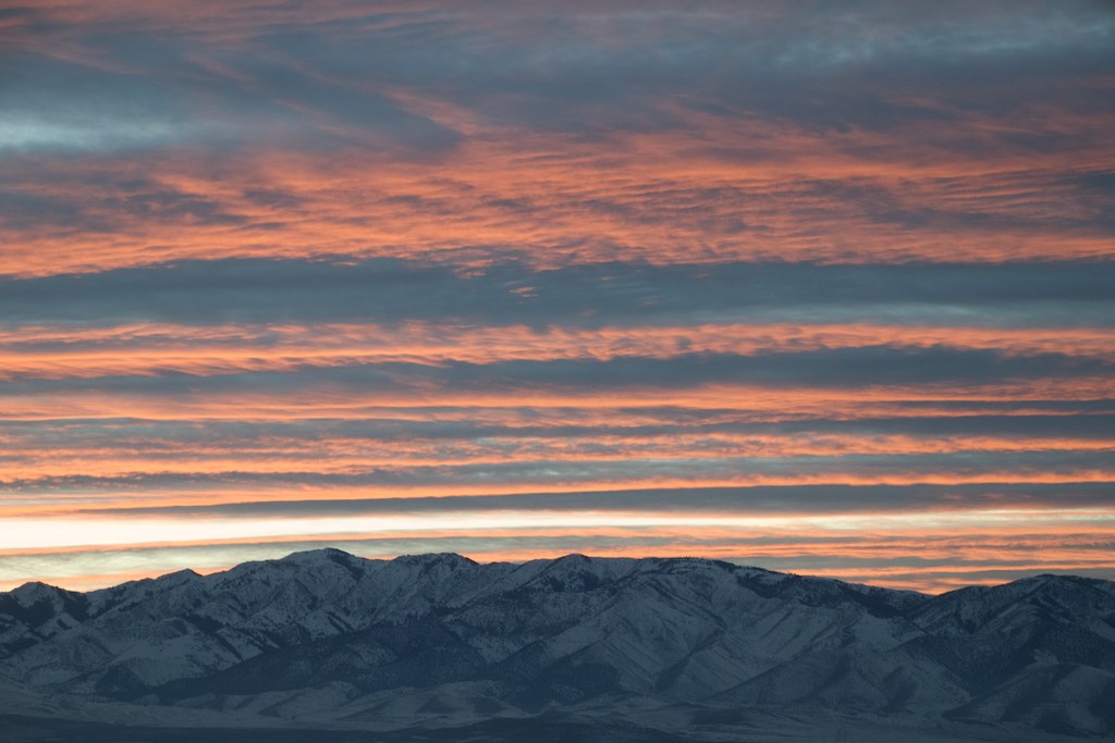
Sunset at Oasis
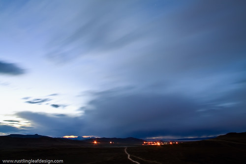
UTTR @ Great Salt Lake, Utah
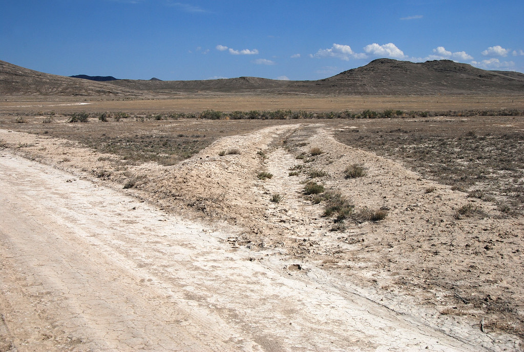
.20080506_6003...Mysterious formations---8 of 8: Ditch
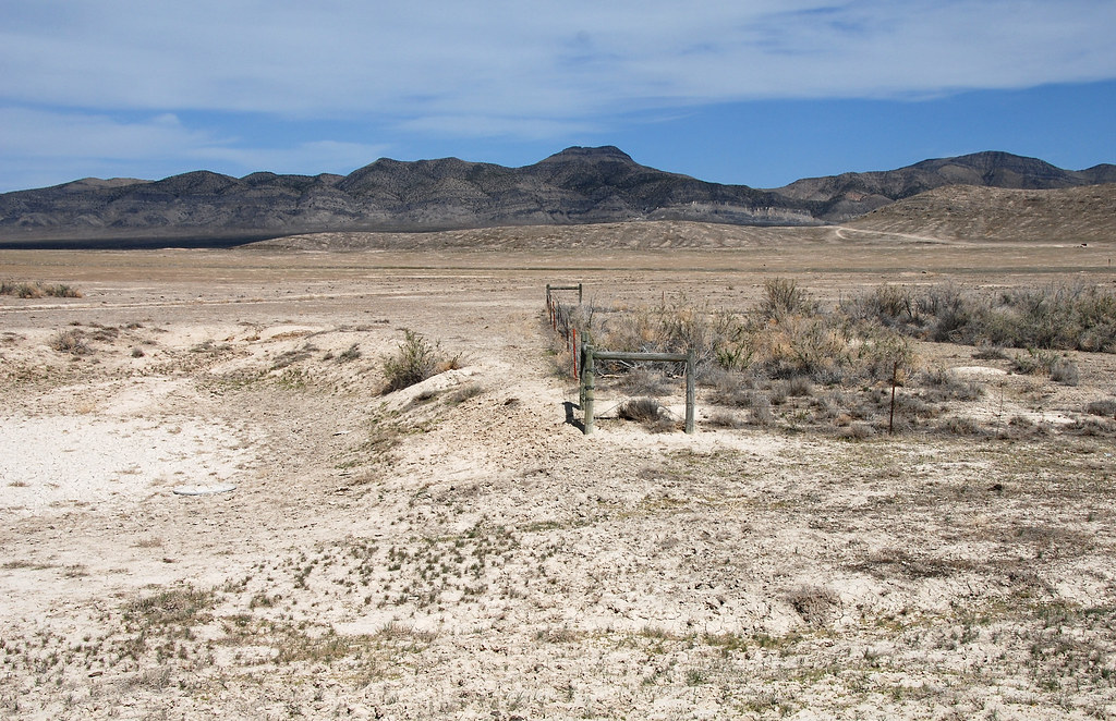
.20080506_5979...Mysterious formations---5 of 8: Water hole
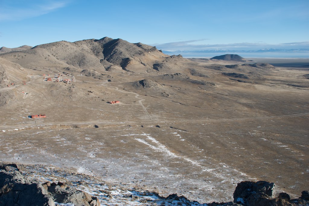
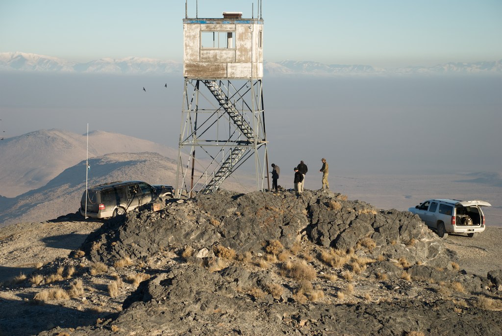
Lakeside Mountains, Utah
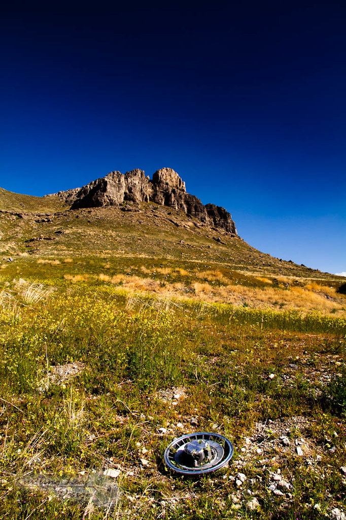
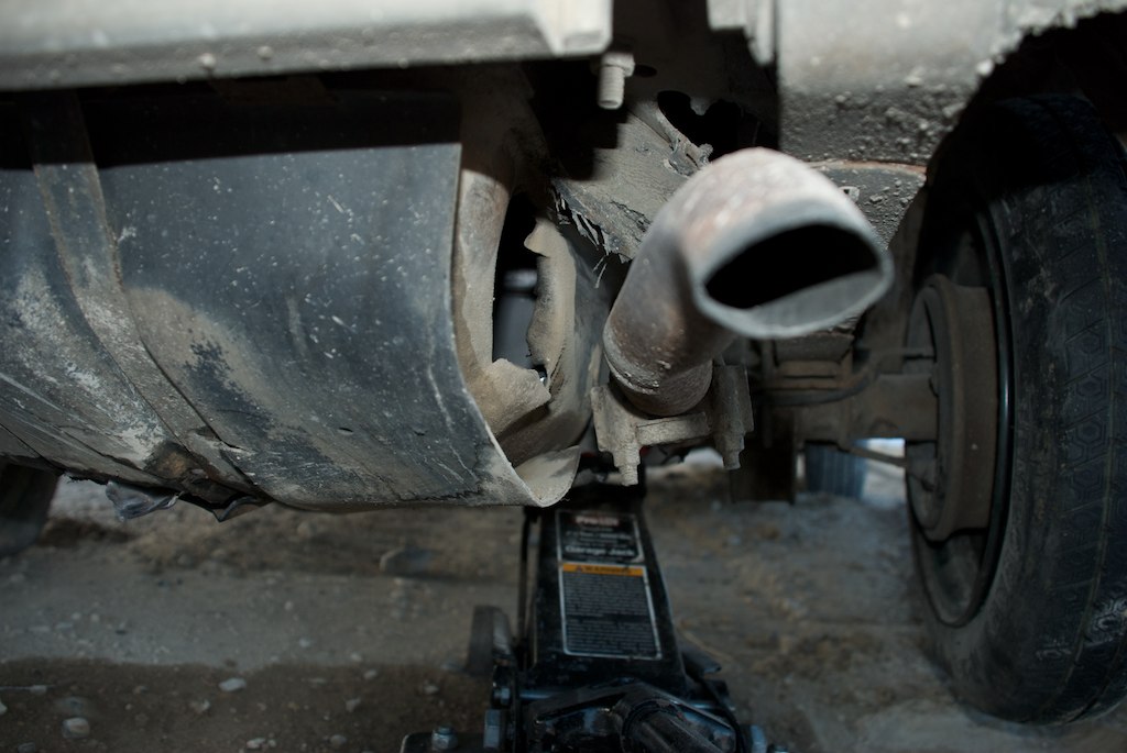
hub cap

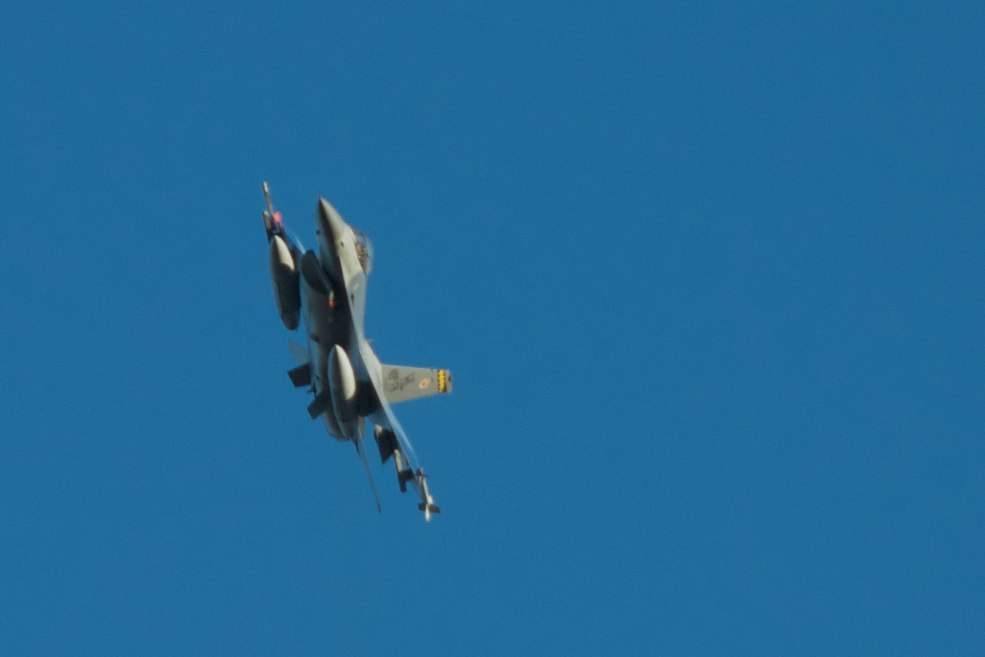
Ready to fire on our targets

Supply drop
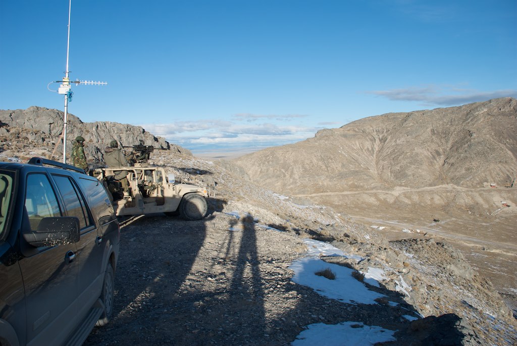
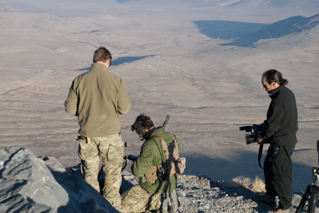
Ground Control
Oasis target range
UTTR boundary---eastward... 20080506_6019
UTTR boundary---west... .20080506_6024
Targets ready for action
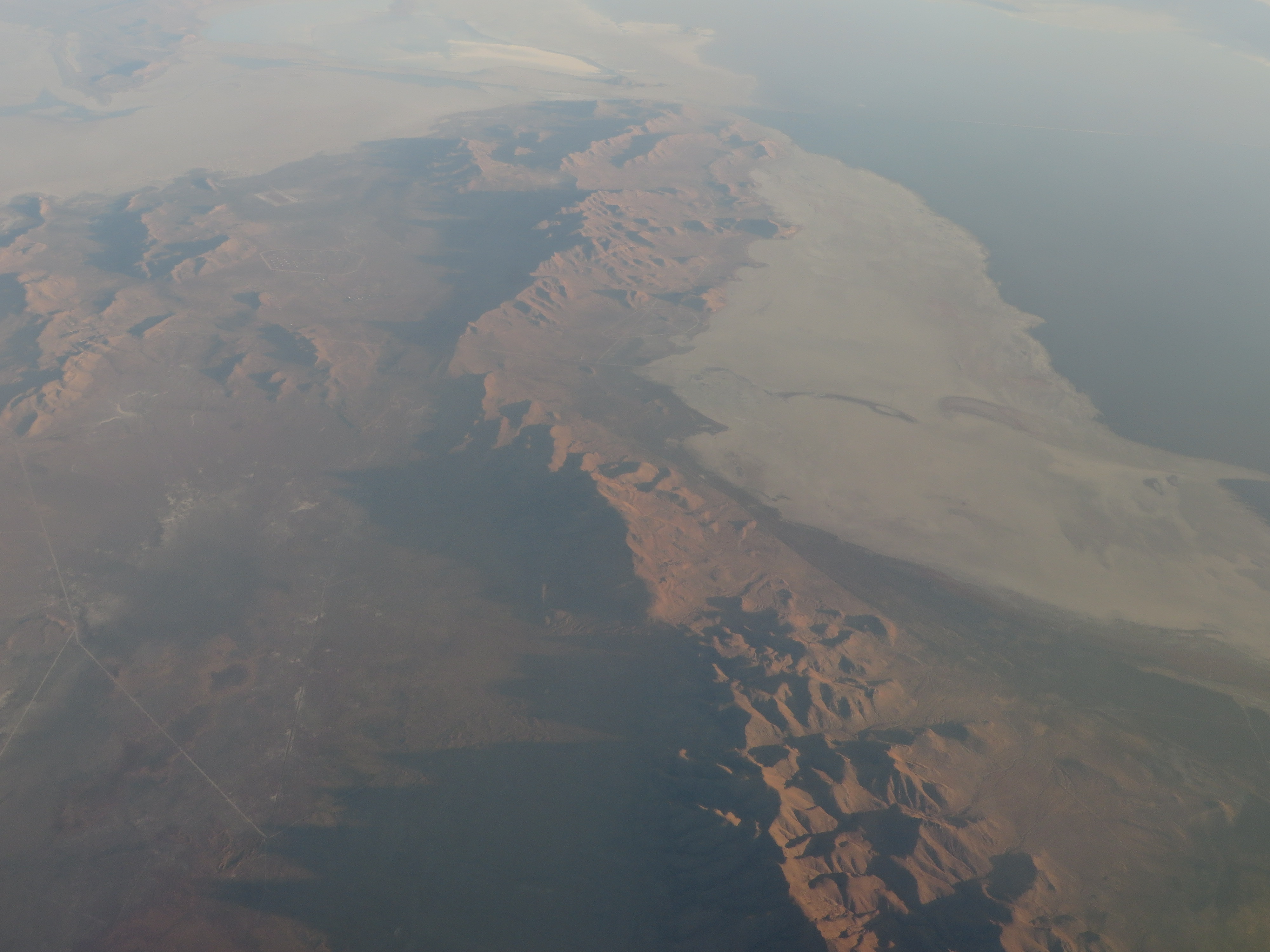
The Great Salt Lake, Utah
Ground Control
After action assessment
Final approach
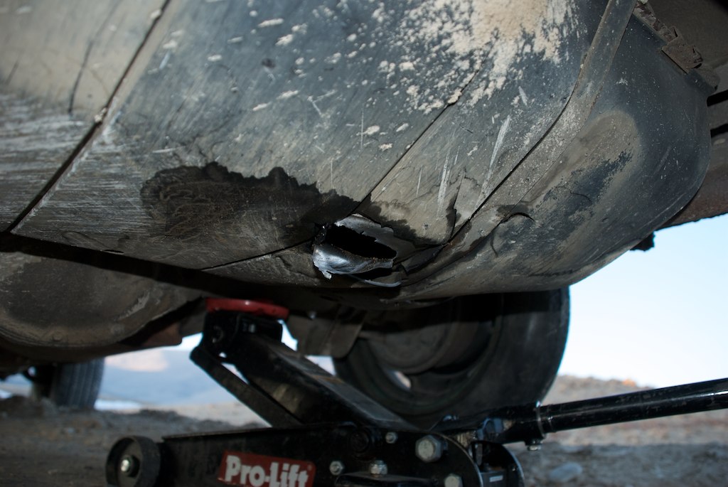
After action assessment
After action assessment
JTAC close-ups

Having some fun at 500 yards
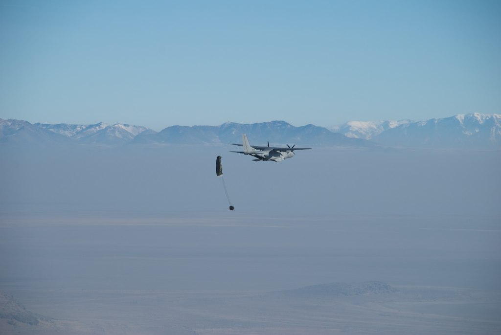
Supply drop
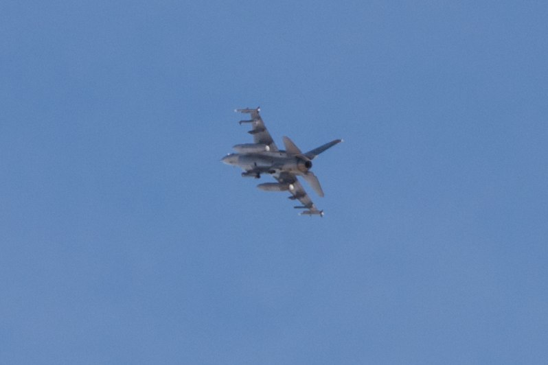
Coming in for the kill
Puddle Valley, Utah, USA Karte
Suchen Sie einen anderen Ort
Nahe Plätze
Box Elder County, Utah, USA
Park Valley, UT, USA
Wendover, Utah, USA
Cedar Creek, UT, USA
Snowville, Utah, USA
Stone, ID, USA
Sawtooth National Forest, Utah, USA
Juniper, ID, USA
City Of Rocks Idaho, Almo Rd, Almo, ID, USA
Almo, ID, USA
Elba-Almo Rd, Malta, ID, USA
City of Rocks National Reserve, Malta, ID, USA
Stines Creek Trailhead, Castle Rocks State Park, Unnamed Road, Malta, ID, USA
Letzte Suche
- Red Dog Mine, AK, USA Sonnenaufgang Sonnenuntergang Zeiten
- Am Bahnhof, Am bhf, Borken, Germany Sonnenaufgang Sonnenuntergang Zeiten
- 4th St E, Sonoma, CA, USA Sonnenaufgang Sonnenuntergang Zeiten
- Oakland Ave, Williamsport, PA, USA Sonnenaufgang Sonnenuntergang Zeiten
- Via Roma, Pieranica CR, Italien Sonnenaufgang Sonnenuntergang Zeiten
- Glockenturm, Grad, Dubrovnik, Kroatien Sonnenaufgang Sonnenuntergang Zeiten
- Trelew, Chubut Province, Argentina Sonnenaufgang Sonnenuntergang Zeiten
- Hartfords Bluff Cir, Mt Pleasant, SC, USA Sonnenaufgang Sonnenuntergang Zeiten
- Kita-ku, Kumamoto, Präfektur Kumamoto, Japan Sonnenaufgang Sonnenuntergang Zeiten
- Pingtan Island, Pingtan County, Fuzhou, China Sonnenaufgang Sonnenuntergang Zeiten