時間帯:アメリカ太平洋標準時
現地時間:2026年11月10日 火曜日 22:23
経度:-129.625
緯度:59.258333
今日の日の出時刻:08:21:18
今日の日の入時刻:16:26:16
今日の日長:8時間4分58秒
明日の日の出時刻:08:23:46
明日の日の入時刻:16:24:03
明日の日長:8時間0分17秒

: すべて表示する

日付 日出 日没 日長
2026年1月1日 09:35:45 15:49:51 6時間14分6秒
2026年2月1日 08:51:46 16:54:38 8時間2分51秒
2026年3月1日 07:39:37 18:05:22 10時間25分45秒
2026年4月1日 07:08:34 20:18:59 13時間10分25秒
2026年5月1日 05:43:30 21:30:17 15時間46分46秒
2026年6月1日 04:37:21 22:37:59 18時間0分38秒
2026年7月1日 04:28:54 22:57:45 18時間28分50秒
2026年8月1日 05:23:22 22:08:48 16時間45分26秒
2026年9月1日 06:34:46 20:45:52 14時間11分5秒
2026年10月1日 07:42:31 19:16:51 11時間34分20秒
2026年11月1日 08:56:26 17:50:14 8時間53分47秒
2026年11月11日 08:21:18 16:26:16 8時間4分58秒
2026年11月12日 08:23:46 16:24:03 8時間0分17秒
2026年12月1日 09:07:09 15:50:15 6時間43分5秒

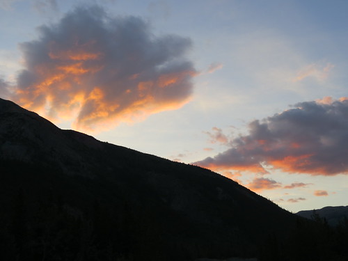
日の出と日の入りの写真

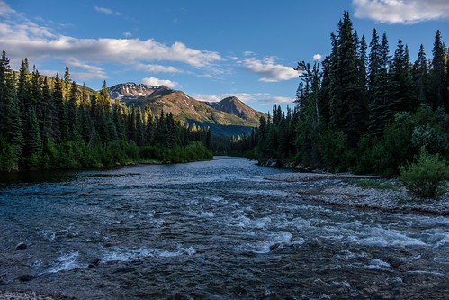
Mount Pendleton blue hour by loveexploring, Mount Pendleton (2165 meters, 7103 feet)  is a peak in the Cassiar Mountains of  northern British Co
Mount Pendleton blue hour by loveexploring
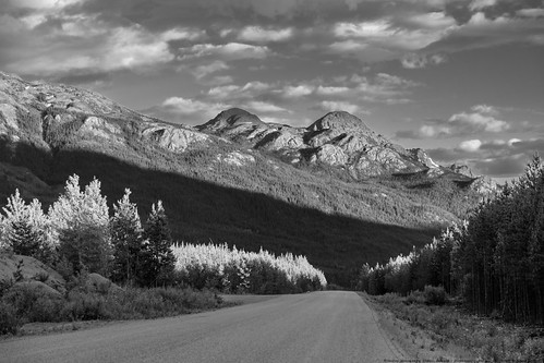
Cassiar Highway at its Best Near Sphinx Mountain by MikoFox, I really like how this one developed from color RAF in Lightroom. Lightroom handles x-trans files so
Cassiar Highway at its Best Near Sphinx Mountain by MikoFox
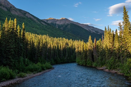
Last Sidelight at the Cottonwood River by MikoFox, 59.12092 / -129.80967

Section 2:
Cassiar Hwy 37 to Kitwanga, Yellowhead Hwy 16.canada river cassiar
Last Sidelight at the Cottonwood River by MikoFox
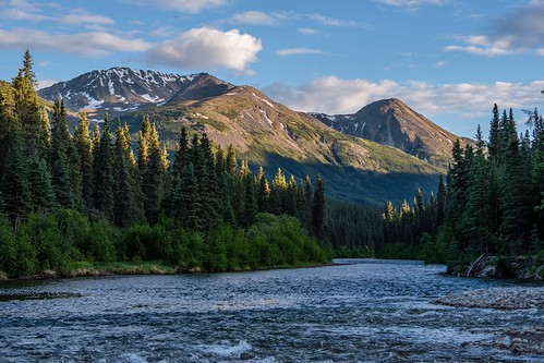
Cottonwood River by MikoFox, 59.11938 / -129.81871

Section 2:
Cassiar Hwy 37 to Kitwanga, Yellowhead Hwy 16.canada river cassiar
Cottonwood River by MikoFox
Cottonwood River Takes in Bass Creek by MikoFox, 59.11938 / -129.81871

Section 2:
Cassiar Hwy 37 to Kitwanga, Yellowhead Hwy 16.canada cassiar snow
Cottonwood River Takes in Bass Creek by MikoFox
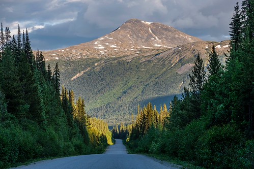
Looks Like a Forestry Road, but it's a Highway by MikoFox, 59.14389 / -129.84117

Section 2:
Cassiar Hwy 37 to Kitwanga, Yellowhead Hwy 16.canada cassiar snow
Looks Like a Forestry Road, but it's a Highway by MikoFox
Road Into the Mountains by MikoFox, 59.16383 /-129.82047

Section 2:
Cassiar Hwy 37 to Kitwanga, Yellowhead Hwy 16.canada cassiar snow m
Road Into the Mountains by MikoFox
Sunset on the Stewart Cassiar Hwy in Good Hope Lake in early June - part 2 by jimbob_malone, Time of year when there are nice sunsets. Last photo of this sunset that I took before going to bed
Sunset on the Stewart Cassiar Hwy in Good Hope Lake in early June - part 2 by jimbob_malone
The rising sun in Good Hope Lake near the end of August by jimbob_malone, Last photo that I took of this sunset. This is looking to the northeast. Lighting isn't very good he
The rising sun in Good Hope Lake near the end of August by jimbob_malone
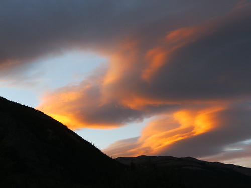
A sunset in Good Hope Lake, BC in early August by jimbob_malone, August 1, 2017 at 10:00pm PDT. One of the nicest sunsets I saw in Good Hope Lake (on the Stewart Cas
A sunset in Good Hope Lake, BC in early August by jimbob_malone
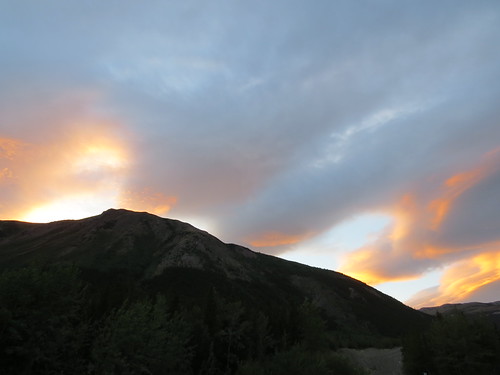
Fading sunset in Good Hope Lake, BC in early August by jimbob_malone, Last pic that I took of this sunset for the rest of the evening. The sunset was fading away when I t
Fading sunset in Good Hope Lake, BC in early August by jimbob_malone
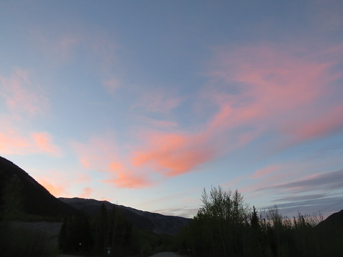
Nice sunset in Good Hope Lake, BC by jimbob_malone, May 24, 2017 at 10:35pm. I took this photo, then called it a night. I stayed in Good Hope Lake for m
Nice sunset in Good Hope Lake, BC by jimbob_malone
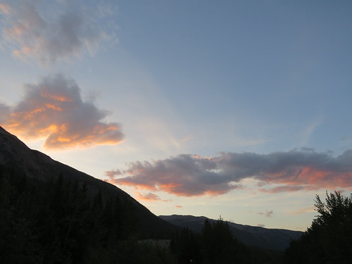
Sunset on the Stewart Cassiar Hwy in Good Hope Lake in early June - part 1 by jimbob_malone, June 8, 2017 at 10:45pm PDT. I always take photos of sunsets and sunrises when I have the opportunit
Sunset on the Stewart Cassiar Hwy in Good Hope Lake in early June - part 1 by jimbob_malone