| Zona horaria: | hora estándar del Pacífico |
|---|---|
| Hora local: | martes, 10 de noviembre de 2026 22:13 |
| Longitud: | -129.625 |
| Latitud: | 59.258333 |
| Amanecer hoy: | 8:21:18 |
| Atardecer hoy: | 16:26:16 |
| Horas de luz hoy: | 8h 4m 58s |
| Amanecer mañana: | 8:23:46 |
| Atardecer mañana: | 16:24:03 |
| Horas de luz mañana: | 8h 0m 17s |
: Mostrar todas las fechas
| Fecha | Salida de sol | Puesta de sol | Duración del día |
|---|---|---|---|
| 1 de ene. de 2026 | 9:35:45 | 15:49:51 | 6h 14m 6s |
| 1 de feb. de 2026 | 8:51:46 | 16:54:38 | 8h 2m 51s |
| 1 de mar. de 2026 | 7:39:37 | 18:05:22 | 10h 25m 45s |
| 1 de abr. de 2026 | 7:08:34 | 20:18:59 | 13h 10m 25s |
| 1 de may. de 2026 | 5:43:30 | 21:30:17 | 15h 46m 46s |
| 1 de jun. de 2026 | 4:37:21 | 22:37:59 | 18h 0m 38s |
| 1 de jul. de 2026 | 4:28:54 | 22:57:45 | 18h 28m 50s |
| 1 de ago. de 2026 | 5:23:22 | 22:08:48 | 16h 45m 26s |
| 1 de sep. de 2026 | 6:34:46 | 20:45:52 | 14h 11m 5s |
| 1 de oct. de 2026 | 7:42:31 | 19:16:51 | 11h 34m 20s |
| 1 de nov. de 2026 | 8:56:26 | 17:50:14 | 8h 53m 47s |
| 11 de nov. de 2026 | 8:21:18 | 16:26:16 | 8h 4m 58s |
| 12 de nov. de 2026 | 8:23:46 | 16:24:03 | 8h 0m 17s |
| 1 de dic. de 2026 | 9:07:09 | 15:50:15 | 6h 43m 5s |
Fotos de amanecer y atardecer

Mount Pendleton blue hour by loveexploring
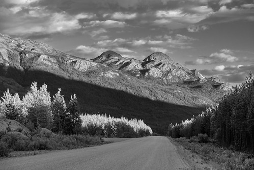
Cassiar Highway at its Best Near Sphinx Mountain by MikoFox
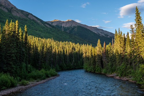
Last Sidelight at the Cottonwood River by MikoFox
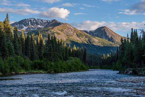
Cottonwood River by MikoFox
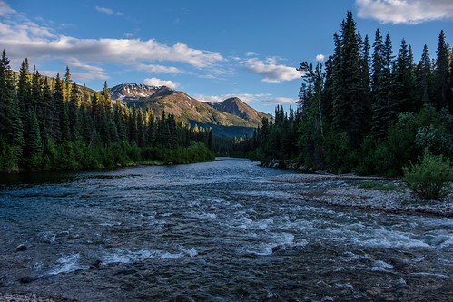
Cottonwood River Takes in Bass Creek by MikoFox
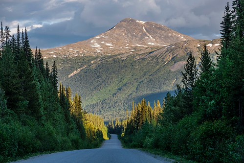
Looks Like a Forestry Road, but it's a Highway by MikoFox

Road Into the Mountains by MikoFox
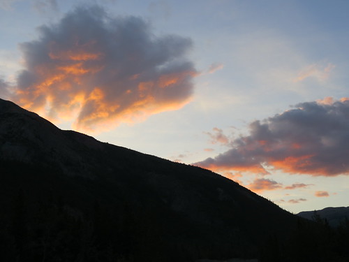
Sunset on the Stewart Cassiar Hwy in Good Hope Lake in early June - part 2 by jimbob_malone

The rising sun in Good Hope Lake near the end of August by jimbob_malone
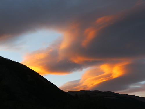
A sunset in Good Hope Lake, BC in early August by jimbob_malone
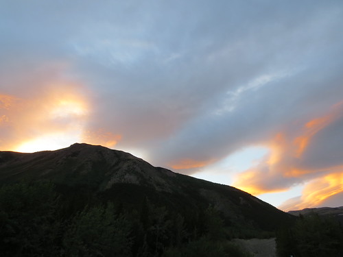
Fading sunset in Good Hope Lake, BC in early August by jimbob_malone
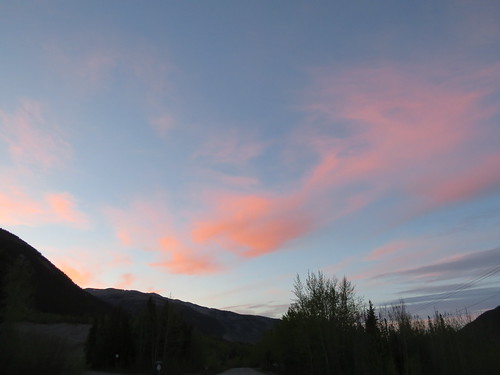
Nice sunset in Good Hope Lake, BC by jimbob_malone
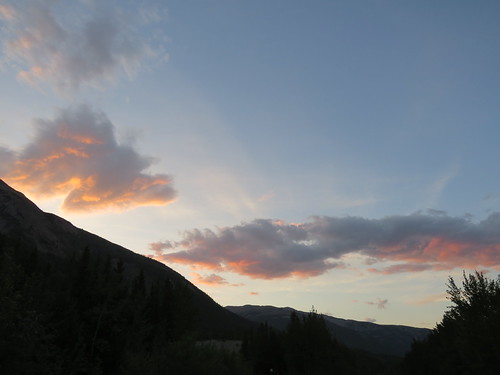
Sunset on the Stewart Cassiar Hwy in Good Hope Lake in early June - part 1 by jimbob_malone