アメリカ合衆国 〒 オレゴン州 デール日の出日の入り時間
Location: アメリカ合衆国 > オレゴン州 > グラント > アメリカ合衆国 〒 オレゴン州 ロング・クリーク >
時間帯:
America/Los_Angeles
現地時間:
2025-06-30 07:10:40
経度:
-118.9474744
緯度:
44.9884873
今日の日の出時刻:
05:12:54 AM
今日の日の入時刻:
08:46:22 PM
今日の日長:
15h 33m 28s
明日の日の出時刻:
05:13:29 AM
明日の日の入時刻:
08:46:11 PM
明日の日長:
15h 32m 42s
すべて表示する
| 日付 | 日出 | 日没 | 日長 |
|---|---|---|---|
| 2025年01月01日 | 07:33:54 AM | 04:26:08 PM | 8h 52m 14s |
| 2025年01月02日 | 07:33:51 AM | 04:27:05 PM | 8h 53m 14s |
| 2025年01月03日 | 07:33:46 AM | 04:28:05 PM | 8h 54m 19s |
| 2025年01月04日 | 07:33:38 AM | 04:29:06 PM | 8h 55m 28s |
| 2025年01月05日 | 07:33:27 AM | 04:30:09 PM | 8h 56m 42s |
| 2025年01月06日 | 07:33:14 AM | 04:31:14 PM | 8h 58m 0s |
| 2025年01月07日 | 07:32:58 AM | 04:32:20 PM | 8h 59m 22s |
| 2025年01月08日 | 07:32:40 AM | 04:33:28 PM | 9h 0m 48s |
| 2025年01月09日 | 07:32:19 AM | 04:34:37 PM | 9h 2m 18s |
| 2025年01月10日 | 07:31:56 AM | 04:35:48 PM | 9h 3m 52s |
| 2025年01月11日 | 07:31:30 AM | 04:37:00 PM | 9h 5m 30s |
| 2025年01月12日 | 07:31:02 AM | 04:38:13 PM | 9h 7m 11s |
| 2025年01月13日 | 07:30:31 AM | 04:39:27 PM | 9h 8m 56s |
| 2025年01月14日 | 07:29:57 AM | 04:40:43 PM | 9h 10m 46s |
| 2025年01月15日 | 07:29:22 AM | 04:41:59 PM | 9h 12m 37s |
| 2025年01月16日 | 07:28:44 AM | 04:43:16 PM | 9h 14m 32s |
| 2025年01月17日 | 07:28:03 AM | 04:44:35 PM | 9h 16m 32s |
| 2025年01月18日 | 07:27:20 AM | 04:45:54 PM | 9h 18m 34s |
| 2025年01月19日 | 07:26:35 AM | 04:47:14 PM | 9h 20m 39s |
| 2025年01月20日 | 07:25:48 AM | 04:48:35 PM | 9h 22m 47s |
| 2025年01月21日 | 07:24:58 AM | 04:49:56 PM | 9h 24m 58s |
| 2025年01月22日 | 07:24:07 AM | 04:51:19 PM | 9h 27m 12s |
| 2025年01月23日 | 07:23:13 AM | 04:52:41 PM | 9h 29m 28s |
| 2025年01月24日 | 07:22:17 AM | 04:54:05 PM | 9h 31m 48s |
| 2025年01月25日 | 07:21:19 AM | 04:55:28 PM | 9h 34m 9s |
| 2025年01月26日 | 07:20:19 AM | 04:56:52 PM | 9h 36m 33s |
| 2025年01月27日 | 07:19:16 AM | 04:58:17 PM | 9h 39m 1s |
| 2025年01月28日 | 07:18:12 AM | 04:59:42 PM | 9h 41m 30s |
| 2025年01月29日 | 07:17:06 AM | 05:01:07 PM | 9h 44m 1s |
| 2025年01月30日 | 07:15:59 AM | 05:02:32 PM | 9h 46m 33s |
| 2025年01月31日 | 07:14:49 AM | 05:03:58 PM | 9h 49m 9s |
| 2025年02月01日 | 07:13:37 AM | 05:05:24 PM | 9h 51m 47s |
| 2025年02月02日 | 07:12:24 AM | 05:06:50 PM | 9h 54m 26s |
| 2025年02月03日 | 07:11:09 AM | 05:08:16 PM | 9h 57m 7s |
| 2025年02月04日 | 07:09:52 AM | 05:09:42 PM | 9h 59m 50s |
| 2025年02月05日 | 07:08:34 AM | 05:11:08 PM | 10h 2m 34s |
| 2025年02月06日 | 07:07:14 AM | 05:12:34 PM | 10h 5m 20s |
| 2025年02月07日 | 07:05:53 AM | 05:14:00 PM | 10h 8m 7s |
| 2025年02月08日 | 07:04:30 AM | 05:15:26 PM | 10h 10m 56s |
| 2025年02月09日 | 07:03:06 AM | 05:16:52 PM | 10h 13m 46s |
| 2025年02月10日 | 07:01:40 AM | 05:18:17 PM | 10h 16m 37s |
| 2025年02月11日 | 07:00:13 AM | 05:19:43 PM | 10h 19m 30s |
| 2025年02月12日 | 06:58:44 AM | 05:21:08 PM | 10h 22m 24s |
| 2025年02月13日 | 06:57:14 AM | 05:22:34 PM | 10h 25m 20s |
| 2025年02月14日 | 06:55:43 AM | 05:23:59 PM | 10h 28m 16s |
| 2025年02月15日 | 06:54:11 AM | 05:25:24 PM | 10h 31m 13s |
| 2025年02月16日 | 06:52:37 AM | 05:26:48 PM | 10h 34m 11s |
| 2025年02月17日 | 06:51:03 AM | 05:28:13 PM | 10h 37m 10s |
| 2025年02月18日 | 06:49:27 AM | 05:29:37 PM | 10h 40m 10s |
| 2025年02月19日 | 06:47:50 AM | 05:31:01 PM | 10h 43m 11s |
| 2025年02月20日 | 06:46:12 AM | 05:32:25 PM | 10h 46m 13s |
| 2025年02月21日 | 06:44:34 AM | 05:33:48 PM | 10h 49m 14s |
| 2025年02月22日 | 06:42:54 AM | 05:35:11 PM | 10h 52m 17s |
| 2025年02月23日 | 06:41:13 AM | 05:36:34 PM | 10h 55m 21s |
| 2025年02月24日 | 06:39:31 AM | 05:37:57 PM | 10h 58m 26s |
| 2025年02月25日 | 06:37:49 AM | 05:39:19 PM | 11h 1m 30s |
| 2025年02月26日 | 06:36:06 AM | 05:40:41 PM | 11h 4m 35s |
| 2025年02月27日 | 06:34:22 AM | 05:42:03 PM | 11h 7m 41s |
| 2025年02月28日 | 06:32:37 AM | 05:43:24 PM | 11h 10m 47s |
| 2025年03月01日 | 06:30:51 AM | 05:44:45 PM | 11h 13m 54s |
| 2025年03月02日 | 06:29:05 AM | 05:46:06 PM | 11h 17m 1s |
| 2025年03月03日 | 06:27:18 AM | 05:47:27 PM | 11h 20m 9s |
| 2025年03月04日 | 06:25:31 AM | 05:48:47 PM | 11h 23m 16s |
| 2025年03月05日 | 06:23:43 AM | 05:50:07 PM | 11h 26m 24s |
| 2025年03月06日 | 06:21:54 AM | 05:51:27 PM | 11h 29m 33s |
| 2025年03月07日 | 06:20:05 AM | 05:52:47 PM | 11h 32m 42s |
| 2025年03月08日 | 06:18:16 AM | 05:54:06 PM | 11h 35m 50s |
| 2025年03月09日 | 07:16:31 AM | 06:55:22 PM | 11h 38m 51s |
| 2025年03月10日 | 07:14:40 AM | 06:56:41 PM | 11h 42m 1s |
| 2025年03月11日 | 07:12:50 AM | 06:57:59 PM | 11h 45m 9s |
| 2025年03月12日 | 07:10:59 AM | 06:59:18 PM | 11h 48m 19s |
| 2025年03月13日 | 07:09:07 AM | 07:00:36 PM | 11h 51m 29s |
| 2025年03月14日 | 07:07:16 AM | 07:01:54 PM | 11h 54m 38s |
| 2025年03月15日 | 07:05:24 AM | 07:03:12 PM | 11h 57m 48s |
| 2025年03月16日 | 07:03:32 AM | 07:04:29 PM | 12h 0m 57s |
| 2025年03月17日 | 07:01:39 AM | 07:05:47 PM | 12h 4m 8s |
| 2025年03月18日 | 06:59:47 AM | 07:07:04 PM | 12h 7m 17s |
| 2025年03月19日 | 06:57:55 AM | 07:08:21 PM | 12h 10m 26s |
| 2025年03月20日 | 06:56:02 AM | 07:09:38 PM | 12h 13m 36s |
| 2025年03月21日 | 06:54:09 AM | 07:10:55 PM | 12h 16m 46s |
| 2025年03月22日 | 06:52:17 AM | 07:12:12 PM | 12h 19m 55s |
| 2025年03月23日 | 06:50:24 AM | 07:13:28 PM | 12h 23m 4s |
| 2025年03月24日 | 06:48:31 AM | 07:14:45 PM | 12h 26m 14s |
| 2025年03月25日 | 06:46:39 AM | 07:16:01 PM | 12h 29m 22s |
| 2025年03月26日 | 06:44:46 AM | 07:17:17 PM | 12h 32m 31s |
| 2025年03月27日 | 06:42:54 AM | 07:18:33 PM | 12h 35m 39s |
| 2025年03月28日 | 06:41:01 AM | 07:19:50 PM | 12h 38m 49s |
| 2025年03月29日 | 06:39:09 AM | 07:21:06 PM | 12h 41m 57s |
| 2025年03月30日 | 06:37:18 AM | 07:22:22 PM | 12h 45m 4s |
| 2025年03月31日 | 06:35:26 AM | 07:23:38 PM | 12h 48m 12s |
| 2025年04月01日 | 06:33:35 AM | 07:24:54 PM | 12h 51m 19s |
| 2025年04月02日 | 06:31:44 AM | 07:26:09 PM | 12h 54m 25s |
| 2025年04月03日 | 06:29:53 AM | 07:27:25 PM | 12h 57m 32s |
| 2025年04月04日 | 06:28:03 AM | 07:28:41 PM | 13h 0m 38s |
| 2025年04月05日 | 06:26:13 AM | 07:29:57 PM | 13h 3m 44s |
| 2025年04月06日 | 06:24:24 AM | 07:31:13 PM | 13h 6m 49s |
| 2025年04月07日 | 06:22:35 AM | 07:32:29 PM | 13h 9m 54s |
| 2025年04月08日 | 06:20:47 AM | 07:33:44 PM | 13h 12m 57s |
| 2025年04月09日 | 06:18:59 AM | 07:35:00 PM | 13h 16m 1s |
| 2025年04月10日 | 06:17:11 AM | 07:36:16 PM | 13h 19m 5s |
| 2025年04月11日 | 06:15:25 AM | 07:37:32 PM | 13h 22m 7s |
| 2025年04月12日 | 06:13:39 AM | 07:38:47 PM | 13h 25m 8s |
| 2025年04月13日 | 06:11:53 AM | 07:40:03 PM | 13h 28m 10s |
| 2025年04月14日 | 06:10:09 AM | 07:41:19 PM | 13h 31m 10s |
| 2025年04月15日 | 06:08:25 AM | 07:42:35 PM | 13h 34m 10s |
| 2025年04月16日 | 06:06:41 AM | 07:43:50 PM | 13h 37m 9s |
| 2025年04月17日 | 06:04:59 AM | 07:45:06 PM | 13h 40m 7s |
| 2025年04月18日 | 06:03:17 AM | 07:46:22 PM | 13h 43m 5s |
| 2025年04月19日 | 06:01:37 AM | 07:47:38 PM | 13h 46m 1s |
| 2025年04月20日 | 05:59:57 AM | 07:48:53 PM | 13h 48m 56s |
| 2025年04月21日 | 05:58:18 AM | 07:50:09 PM | 13h 51m 51s |
| 2025年04月22日 | 05:56:40 AM | 07:51:24 PM | 13h 54m 44s |
| 2025年04月23日 | 05:55:03 AM | 07:52:40 PM | 13h 57m 37s |
| 2025年04月24日 | 05:53:28 AM | 07:53:55 PM | 14h 0m 27s |
| 2025年04月25日 | 05:51:53 AM | 07:55:10 PM | 14h 3m 17s |
| 2025年04月26日 | 05:50:19 AM | 07:56:26 PM | 14h 6m 7s |
| 2025年04月27日 | 05:48:47 AM | 07:57:41 PM | 14h 8m 54s |
| 2025年04月28日 | 05:47:15 AM | 07:58:55 PM | 14h 11m 40s |
| 2025年04月29日 | 05:45:45 AM | 08:00:10 PM | 14h 14m 25s |
| 2025年04月30日 | 05:44:17 AM | 08:01:25 PM | 14h 17m 8s |
| 2025年05月01日 | 05:42:49 AM | 08:02:39 PM | 14h 19m 50s |
| 2025年05月02日 | 05:41:23 AM | 08:03:53 PM | 14h 22m 30s |
| 2025年05月03日 | 05:39:58 AM | 08:05:07 PM | 14h 25m 9s |
| 2025年05月04日 | 05:38:35 AM | 08:06:20 PM | 14h 27m 45s |
| 2025年05月05日 | 05:37:13 AM | 08:07:33 PM | 14h 30m 20s |
| 2025年05月06日 | 05:35:52 AM | 08:08:46 PM | 14h 32m 54s |
| 2025年05月07日 | 05:34:33 AM | 08:09:59 PM | 14h 35m 26s |
| 2025年05月08日 | 05:33:16 AM | 08:11:11 PM | 14h 37m 55s |
| 2025年05月09日 | 05:32:00 AM | 08:12:23 PM | 14h 40m 23s |
| 2025年05月10日 | 05:30:46 AM | 08:13:34 PM | 14h 42m 48s |
| 2025年05月11日 | 05:29:33 AM | 08:14:44 PM | 14h 45m 11s |
| 2025年05月12日 | 05:28:22 AM | 08:15:54 PM | 14h 47m 32s |
| 2025年05月13日 | 05:27:13 AM | 08:17:04 PM | 14h 49m 51s |
| 2025年05月14日 | 05:26:06 AM | 08:18:13 PM | 14h 52m 7s |
| 2025年05月15日 | 05:25:00 AM | 08:19:21 PM | 14h 54m 21s |
| 2025年05月16日 | 05:23:56 AM | 08:20:28 PM | 14h 56m 32s |
| 2025年05月17日 | 05:22:54 AM | 08:21:35 PM | 14h 58m 41s |
| 2025年05月18日 | 05:21:54 AM | 08:22:41 PM | 15h 0m 47s |
| 2025年05月19日 | 05:20:56 AM | 08:23:46 PM | 15h 2m 50s |
| 2025年05月20日 | 05:20:00 AM | 08:24:50 PM | 15h 4m 50s |
| 2025年05月21日 | 05:19:06 AM | 08:25:54 PM | 15h 6m 48s |
| 2025年05月22日 | 05:18:14 AM | 08:26:56 PM | 15h 8m 42s |
| 2025年05月23日 | 05:17:24 AM | 08:27:57 PM | 15h 10m 33s |
| 2025年05月24日 | 05:16:36 AM | 08:28:57 PM | 15h 12m 21s |
| 2025年05月25日 | 05:15:50 AM | 08:29:56 PM | 15h 14m 6s |
| 2025年05月26日 | 05:15:07 AM | 08:30:54 PM | 15h 15m 47s |
| 2025年05月27日 | 05:14:25 AM | 08:31:51 PM | 15h 17m 26s |
| 2025年05月28日 | 05:13:46 AM | 08:32:46 PM | 15h 19m 0s |
| 2025年05月29日 | 05:13:09 AM | 08:33:40 PM | 15h 20m 31s |
| 2025年05月30日 | 05:12:34 AM | 08:34:32 PM | 15h 21m 58s |
| 2025年05月31日 | 05:12:01 AM | 08:35:23 PM | 15h 23m 22s |
| 2025年06月01日 | 05:11:30 AM | 08:36:13 PM | 15h 24m 43s |
| 2025年06月02日 | 05:11:02 AM | 08:37:01 PM | 15h 25m 59s |
| 2025年06月03日 | 05:10:36 AM | 08:37:48 PM | 15h 27m 12s |
| 2025年06月04日 | 05:10:13 AM | 08:38:33 PM | 15h 28m 20s |
| 2025年06月05日 | 05:09:51 AM | 08:39:16 PM | 15h 29m 25s |
| 2025年06月06日 | 05:09:32 AM | 08:39:57 PM | 15h 30m 25s |
| 2025年06月07日 | 05:09:16 AM | 08:40:37 PM | 15h 31m 21s |
| 2025年06月08日 | 05:09:02 AM | 08:41:15 PM | 15h 32m 13s |
| 2025年06月09日 | 05:08:50 AM | 08:41:51 PM | 15h 33m 1s |
| 2025年06月10日 | 05:08:40 AM | 08:42:25 PM | 15h 33m 45s |
| 2025年06月11日 | 05:08:33 AM | 08:42:57 PM | 15h 34m 24s |
| 2025年06月12日 | 05:08:28 AM | 08:43:27 PM | 15h 34m 59s |
| 2025年06月13日 | 05:08:25 AM | 08:43:55 PM | 15h 35m 30s |
| 2025年06月14日 | 05:08:24 AM | 08:44:22 PM | 15h 35m 58s |
| 2025年06月15日 | 05:08:26 AM | 08:44:46 PM | 15h 36m 20s |
| 2025年06月16日 | 05:08:30 AM | 08:45:07 PM | 15h 36m 37s |
| 2025年06月17日 | 05:08:37 AM | 08:45:27 PM | 15h 36m 50s |
| 2025年06月18日 | 05:08:46 AM | 08:45:45 PM | 15h 36m 59s |
| 2025年06月19日 | 05:08:57 AM | 08:46:00 PM | 15h 37m 3s |
| 2025年06月20日 | 05:09:10 AM | 08:46:13 PM | 15h 37m 3s |
| 2025年06月21日 | 05:09:25 AM | 08:46:24 PM | 15h 36m 59s |
| 2025年06月22日 | 05:09:42 AM | 08:46:32 PM | 15h 36m 50s |
| 2025年06月23日 | 05:10:02 AM | 08:46:38 PM | 15h 36m 36s |
| 2025年06月24日 | 05:10:24 AM | 08:46:42 PM | 15h 36m 18s |
| 2025年06月25日 | 05:10:47 AM | 08:46:43 PM | 15h 35m 56s |
| 2025年06月26日 | 05:11:13 AM | 08:46:43 PM | 15h 35m 30s |
| 2025年06月27日 | 05:11:41 AM | 08:46:39 PM | 15h 34m 58s |
| 2025年06月28日 | 05:12:10 AM | 08:46:34 PM | 15h 34m 24s |
| 2025年06月29日 | 05:12:42 AM | 08:46:26 PM | 15h 33m 44s |
| 2025年06月30日 | 05:13:16 AM | 08:46:16 PM | 15h 33m 0s |
| 2025年07月01日 | 05:13:51 AM | 08:46:03 PM | 15h 32m 12s |
| 2025年07月02日 | 05:14:28 AM | 08:45:48 PM | 15h 31m 20s |
| 2025年07月03日 | 05:15:07 AM | 08:45:30 PM | 15h 30m 23s |
| 2025年07月04日 | 05:15:47 AM | 08:45:11 PM | 15h 29m 24s |
| 2025年07月05日 | 05:16:29 AM | 08:44:48 PM | 15h 28m 19s |
| 2025年07月06日 | 05:17:13 AM | 08:44:24 PM | 15h 27m 11s |
| 2025年07月07日 | 05:17:58 AM | 08:43:57 PM | 15h 25m 59s |
| 2025年07月08日 | 05:18:45 AM | 08:43:28 PM | 15h 24m 43s |
| 2025年07月09日 | 05:19:33 AM | 08:42:56 PM | 15h 23m 23s |
| 2025年07月10日 | 05:20:23 AM | 08:42:23 PM | 15h 22m 0s |
| 2025年07月11日 | 05:21:14 AM | 08:41:47 PM | 15h 20m 33s |
| 2025年07月12日 | 05:22:06 AM | 08:41:09 PM | 15h 19m 3s |
| 2025年07月13日 | 05:23:00 AM | 08:40:28 PM | 15h 17m 28s |
| 2025年07月14日 | 05:23:55 AM | 08:39:45 PM | 15h 15m 50s |
| 2025年07月15日 | 05:24:51 AM | 08:39:01 PM | 15h 14m 10s |
| 2025年07月16日 | 05:25:48 AM | 08:38:14 PM | 15h 12m 26s |
| 2025年07月17日 | 05:26:46 AM | 08:37:24 PM | 15h 10m 38s |
| 2025年07月18日 | 05:27:45 AM | 08:36:33 PM | 15h 8m 48s |
| 2025年07月19日 | 05:28:45 AM | 08:35:40 PM | 15h 6m 55s |
| 2025年07月20日 | 05:29:46 AM | 08:34:45 PM | 15h 4m 59s |
| 2025年07月21日 | 05:30:48 AM | 08:33:47 PM | 15h 2m 59s |
| 2025年07月22日 | 05:31:50 AM | 08:32:48 PM | 15h 0m 58s |
| 2025年07月23日 | 05:32:54 AM | 08:31:47 PM | 14h 58m 53s |
| 2025年07月24日 | 05:33:58 AM | 08:30:44 PM | 14h 56m 46s |
| 2025年07月25日 | 05:35:03 AM | 08:29:38 PM | 14h 54m 35s |
| 2025年07月26日 | 05:36:08 AM | 08:28:32 PM | 14h 52m 24s |
| 2025年07月27日 | 05:37:14 AM | 08:27:23 PM | 14h 50m 9s |
| 2025年07月28日 | 05:38:21 AM | 08:26:12 PM | 14h 47m 51s |
| 2025年07月29日 | 05:39:28 AM | 08:25:00 PM | 14h 45m 32s |
| 2025年07月30日 | 05:40:35 AM | 08:23:46 PM | 14h 43m 11s |
| 2025年07月31日 | 05:41:43 AM | 08:22:31 PM | 14h 40m 48s |
| 2025年08月01日 | 05:42:52 AM | 08:21:14 PM | 14h 38m 22s |
| 2025年08月02日 | 05:44:01 AM | 08:19:55 PM | 14h 35m 54s |
| 2025年08月03日 | 05:45:10 AM | 08:18:35 PM | 14h 33m 25s |
| 2025年08月04日 | 05:46:19 AM | 08:17:13 PM | 14h 30m 54s |
| 2025年08月05日 | 05:47:29 AM | 08:15:49 PM | 14h 28m 20s |
| 2025年08月06日 | 05:48:39 AM | 08:14:25 PM | 14h 25m 46s |
| 2025年08月07日 | 05:49:49 AM | 08:12:58 PM | 14h 23m 9s |
| 2025年08月08日 | 05:51:00 AM | 08:11:31 PM | 14h 20m 31s |
| 2025年08月09日 | 05:52:11 AM | 08:10:02 PM | 14h 17m 51s |
| 2025年08月10日 | 05:53:21 AM | 08:08:32 PM | 14h 15m 11s |
| 2025年08月11日 | 05:54:32 AM | 08:07:00 PM | 14h 12m 28s |
| 2025年08月12日 | 05:55:43 AM | 08:05:28 PM | 14h 9m 45s |
| 2025年08月13日 | 05:56:55 AM | 08:03:54 PM | 14h 6m 59s |
| 2025年08月14日 | 05:58:06 AM | 08:02:19 PM | 14h 4m 13s |
| 2025年08月15日 | 05:59:17 AM | 08:00:43 PM | 14h 1m 26s |
| 2025年08月16日 | 06:00:29 AM | 07:59:05 PM | 13h 58m 36s |
| 2025年08月17日 | 06:01:40 AM | 07:57:27 PM | 13h 55m 47s |
| 2025年08月18日 | 06:02:52 AM | 07:55:48 PM | 13h 52m 56s |
| 2025年08月19日 | 06:04:03 AM | 07:54:08 PM | 13h 50m 5s |
| 2025年08月20日 | 06:05:15 AM | 07:52:26 PM | 13h 47m 11s |
| 2025年08月21日 | 06:06:26 AM | 07:50:44 PM | 13h 44m 18s |
| 2025年08月22日 | 06:07:38 AM | 07:49:01 PM | 13h 41m 23s |
| 2025年08月23日 | 06:08:49 AM | 07:47:17 PM | 13h 38m 28s |
| 2025年08月24日 | 06:10:01 AM | 07:45:33 PM | 13h 35m 32s |
| 2025年08月25日 | 06:11:12 AM | 07:43:47 PM | 13h 32m 35s |
| 2025年08月26日 | 06:12:23 AM | 07:42:01 PM | 13h 29m 38s |
| 2025年08月27日 | 06:13:35 AM | 07:40:14 PM | 13h 26m 39s |
| 2025年08月28日 | 06:14:46 AM | 07:38:27 PM | 13h 23m 41s |
| 2025年08月29日 | 06:15:58 AM | 07:36:38 PM | 13h 20m 40s |
| 2025年08月30日 | 06:17:09 AM | 07:34:50 PM | 13h 17m 41s |
| 2025年08月31日 | 06:18:20 AM | 07:33:00 PM | 13h 14m 40s |
| 2025年09月01日 | 06:19:31 AM | 07:31:10 PM | 13h 11m 39s |
| 2025年09月02日 | 06:20:43 AM | 07:29:20 PM | 13h 8m 37s |
| 2025年09月03日 | 06:21:54 AM | 07:27:29 PM | 13h 5m 35s |
| 2025年09月04日 | 06:23:05 AM | 07:25:37 PM | 13h 2m 32s |
| 2025年09月05日 | 06:24:16 AM | 07:23:45 PM | 12h 59m 29s |
| 2025年09月06日 | 06:25:27 AM | 07:21:53 PM | 12h 56m 26s |
| 2025年09月07日 | 06:26:39 AM | 07:20:01 PM | 12h 53m 22s |
| 2025年09月08日 | 06:27:50 AM | 07:18:08 PM | 12h 50m 18s |
| 2025年09月09日 | 06:29:01 AM | 07:16:14 PM | 12h 47m 13s |
| 2025年09月10日 | 06:30:12 AM | 07:14:21 PM | 12h 44m 9s |
| 2025年09月11日 | 06:31:24 AM | 07:12:27 PM | 12h 41m 3s |
| 2025年09月12日 | 06:32:35 AM | 07:10:33 PM | 12h 37m 58s |
| 2025年09月13日 | 06:33:46 AM | 07:08:39 PM | 12h 34m 53s |
| 2025年09月14日 | 06:34:58 AM | 07:06:45 PM | 12h 31m 47s |
| 2025年09月15日 | 06:36:09 AM | 07:04:50 PM | 12h 28m 41s |
| 2025年09月16日 | 06:37:21 AM | 07:02:56 PM | 12h 25m 35s |
| 2025年09月17日 | 06:38:33 AM | 07:01:01 PM | 12h 22m 28s |
| 2025年09月18日 | 06:39:44 AM | 06:59:07 PM | 12h 19m 23s |
| 2025年09月19日 | 06:40:56 AM | 06:57:12 PM | 12h 16m 16s |
| 2025年09月20日 | 06:42:08 AM | 06:55:17 PM | 12h 13m 9s |
| 2025年09月21日 | 06:43:21 AM | 06:53:23 PM | 12h 10m 2s |
| 2025年09月22日 | 06:44:33 AM | 06:51:29 PM | 12h 6m 56s |
| 2025年09月23日 | 06:45:45 AM | 06:49:34 PM | 12h 3m 49s |
| 2025年09月24日 | 06:46:58 AM | 06:47:40 PM | 12h 0m 42s |
| 2025年09月25日 | 06:48:11 AM | 06:45:46 PM | 11h 57m 35s |
| 2025年09月26日 | 06:49:24 AM | 06:43:52 PM | 11h 54m 28s |
| 2025年09月27日 | 06:50:37 AM | 06:41:59 PM | 11h 51m 22s |
| 2025年09月28日 | 06:51:50 AM | 06:40:06 PM | 11h 48m 16s |
| 2025年09月29日 | 06:53:04 AM | 06:38:13 PM | 11h 45m 9s |
| 2025年09月30日 | 06:54:18 AM | 06:36:20 PM | 11h 42m 2s |
| 2025年10月01日 | 06:55:32 AM | 06:34:28 PM | 11h 38m 56s |
| 2025年10月02日 | 06:56:46 AM | 06:32:36 PM | 11h 35m 50s |
| 2025年10月03日 | 06:58:01 AM | 06:30:45 PM | 11h 32m 44s |
| 2025年10月04日 | 06:59:16 AM | 06:28:54 PM | 11h 29m 38s |
| 2025年10月05日 | 07:00:31 AM | 06:27:03 PM | 11h 26m 32s |
| 2025年10月06日 | 07:01:46 AM | 06:25:13 PM | 11h 23m 27s |
| 2025年10月07日 | 07:03:02 AM | 06:23:24 PM | 11h 20m 22s |
| 2025年10月08日 | 07:04:18 AM | 06:21:35 PM | 11h 17m 17s |
| 2025年10月09日 | 07:05:34 AM | 06:19:47 PM | 11h 14m 13s |
| 2025年10月10日 | 07:06:50 AM | 06:18:00 PM | 11h 11m 10s |
| 2025年10月11日 | 07:08:07 AM | 06:16:13 PM | 11h 8m 6s |
| 2025年10月12日 | 07:09:24 AM | 06:14:27 PM | 11h 5m 3s |
| 2025年10月13日 | 07:10:42 AM | 06:12:42 PM | 11h 2m 0s |
| 2025年10月14日 | 07:12:00 AM | 06:10:57 PM | 10h 58m 57s |
| 2025年10月15日 | 07:13:18 AM | 06:09:13 PM | 10h 55m 55s |
| 2025年10月16日 | 07:14:36 AM | 06:07:31 PM | 10h 52m 55s |
| 2025年10月17日 | 07:15:55 AM | 06:05:49 PM | 10h 49m 54s |
| 2025年10月18日 | 07:17:14 AM | 06:04:08 PM | 10h 46m 54s |
| 2025年10月19日 | 07:18:33 AM | 06:02:28 PM | 10h 43m 55s |
| 2025年10月20日 | 07:19:53 AM | 06:00:49 PM | 10h 40m 56s |
| 2025年10月21日 | 07:21:12 AM | 05:59:11 PM | 10h 37m 59s |
| 2025年10月22日 | 07:22:33 AM | 05:57:34 PM | 10h 35m 1s |
| 2025年10月23日 | 07:23:53 AM | 05:55:58 PM | 10h 32m 5s |
| 2025年10月24日 | 07:25:14 AM | 05:54:24 PM | 10h 29m 10s |
| 2025年10月25日 | 07:26:35 AM | 05:52:50 PM | 10h 26m 15s |
| 2025年10月26日 | 07:27:56 AM | 05:51:18 PM | 10h 23m 22s |
| 2025年10月27日 | 07:29:17 AM | 05:49:48 PM | 10h 20m 31s |
| 2025年10月28日 | 07:30:39 AM | 05:48:18 PM | 10h 17m 39s |
| 2025年10月29日 | 07:32:00 AM | 05:46:50 PM | 10h 14m 50s |
| 2025年10月30日 | 07:33:22 AM | 05:45:23 PM | 10h 12m 1s |
| 2025年10月31日 | 07:34:45 AM | 05:43:58 PM | 10h 9m 13s |
| 2025年11月01日 | 07:36:07 AM | 05:42:34 PM | 10h 6m 27s |
| 2025年11月02日 | 06:37:32 AM | 04:41:08 PM | 10h 3m 36s |
| 2025年11月03日 | 06:38:55 AM | 04:39:48 PM | 10h 0m 53s |
| 2025年11月04日 | 06:40:17 AM | 04:38:29 PM | 9h 58m 12s |
| 2025年11月05日 | 06:41:40 AM | 04:37:11 PM | 9h 55m 31s |
| 2025年11月06日 | 06:43:02 AM | 04:35:56 PM | 9h 52m 54s |
| 2025年11月07日 | 06:44:25 AM | 04:34:42 PM | 9h 50m 17s |
| 2025年11月08日 | 06:45:47 AM | 04:33:29 PM | 9h 47m 42s |
| 2025年11月09日 | 06:47:09 AM | 04:32:19 PM | 9h 45m 10s |
| 2025年11月10日 | 06:48:31 AM | 04:31:10 PM | 9h 42m 39s |
| 2025年11月11日 | 06:49:53 AM | 04:30:04 PM | 9h 40m 11s |
| 2025年11月12日 | 06:51:15 AM | 04:28:59 PM | 9h 37m 44s |
| 2025年11月13日 | 06:52:36 AM | 04:27:56 PM | 9h 35m 20s |
| 2025年11月14日 | 06:53:57 AM | 04:26:56 PM | 9h 32m 59s |
| 2025年11月15日 | 06:55:18 AM | 04:25:57 PM | 9h 30m 39s |
| 2025年11月16日 | 06:56:38 AM | 04:25:00 PM | 9h 28m 22s |
| 2025年11月17日 | 06:57:58 AM | 04:24:06 PM | 9h 26m 8s |
| 2025年11月18日 | 06:59:17 AM | 04:23:14 PM | 9h 23m 57s |
| 2025年11月19日 | 07:00:36 AM | 04:22:24 PM | 9h 21m 48s |
| 2025年11月20日 | 07:01:54 AM | 04:21:36 PM | 9h 19m 42s |
| 2025年11月21日 | 07:03:11 AM | 04:20:50 PM | 9h 17m 39s |
| 2025年11月22日 | 07:04:27 AM | 04:20:07 PM | 9h 15m 40s |
| 2025年11月23日 | 07:05:43 AM | 04:19:26 PM | 9h 13m 43s |
| 2025年11月24日 | 07:06:58 AM | 04:18:48 PM | 9h 11m 50s |
| 2025年11月25日 | 07:08:12 AM | 04:18:12 PM | 9h 10m 0s |
| 2025年11月26日 | 07:09:25 AM | 04:17:38 PM | 9h 8m 13s |
| 2025年11月27日 | 07:10:37 AM | 04:17:07 PM | 9h 6m 30s |
| 2025年11月28日 | 07:11:48 AM | 04:16:38 PM | 9h 4m 50s |
| 2025年11月29日 | 07:12:57 AM | 04:16:12 PM | 9h 3m 15s |
| 2025年11月30日 | 07:14:06 AM | 04:15:49 PM | 9h 1m 43s |
| 2025年12月01日 | 07:15:13 AM | 04:15:28 PM | 9h 0m 15s |
| 2025年12月02日 | 07:16:19 AM | 04:15:10 PM | 8h 58m 51s |
| 2025年12月03日 | 07:17:23 AM | 04:14:54 PM | 8h 57m 31s |
| 2025年12月04日 | 07:18:26 AM | 04:14:41 PM | 8h 56m 15s |
| 2025年12月05日 | 07:19:27 AM | 04:14:30 PM | 8h 55m 3s |
| 2025年12月06日 | 07:20:26 AM | 04:14:22 PM | 8h 53m 56s |
| 2025年12月07日 | 07:21:24 AM | 04:14:17 PM | 8h 52m 53s |
| 2025年12月08日 | 07:22:20 AM | 04:14:14 PM | 8h 51m 54s |
| 2025年12月09日 | 07:23:15 AM | 04:14:15 PM | 8h 51m 0s |
| 2025年12月10日 | 07:24:07 AM | 04:14:17 PM | 8h 50m 10s |
| 2025年12月11日 | 07:24:58 AM | 04:14:23 PM | 8h 49m 25s |
| 2025年12月12日 | 07:25:46 AM | 04:14:31 PM | 8h 48m 45s |
| 2025年12月13日 | 07:26:33 AM | 04:14:41 PM | 8h 48m 8s |
| 2025年12月14日 | 07:27:17 AM | 04:14:55 PM | 8h 47m 38s |
| 2025年12月15日 | 07:27:59 AM | 04:15:11 PM | 8h 47m 12s |
| 2025年12月16日 | 07:28:40 AM | 04:15:29 PM | 8h 46m 49s |
| 2025年12月17日 | 07:29:17 AM | 04:15:50 PM | 8h 46m 33s |
| 2025年12月18日 | 07:29:53 AM | 04:16:14 PM | 8h 46m 21s |
| 2025年12月19日 | 07:30:26 AM | 04:16:40 PM | 8h 46m 14s |
| 2025年12月20日 | 07:30:57 AM | 04:17:09 PM | 8h 46m 12s |
| 2025年12月21日 | 07:31:26 AM | 04:17:40 PM | 8h 46m 14s |
| 2025年12月22日 | 07:31:52 AM | 04:18:14 PM | 8h 46m 22s |
| 2025年12月23日 | 07:32:15 AM | 04:18:50 PM | 8h 46m 35s |
| 2025年12月24日 | 07:32:37 AM | 04:19:28 PM | 8h 46m 51s |
| 2025年12月25日 | 07:32:55 AM | 04:20:09 PM | 8h 47m 14s |
| 2025年12月26日 | 07:33:11 AM | 04:20:52 PM | 8h 47m 41s |
| 2025年12月27日 | 07:33:25 AM | 04:21:37 PM | 8h 48m 12s |
| 2025年12月28日 | 07:33:36 AM | 04:22:24 PM | 8h 48m 48s |
| 2025年12月29日 | 07:33:44 AM | 04:23:13 PM | 8h 49m 29s |
| 2025年12月30日 | 07:33:50 AM | 04:24:05 PM | 8h 50m 15s |
| 2025年12月31日 | 07:33:53 AM | 04:24:58 PM | 8h 51m 5s |
写真

Middle Fork of John Day River-Malheur

2018-06-11 17'37'22 ++++

Desolation Creek aerial 2014-07-24 4

Desolation Creek aerial 2014-07-24 3

Desolation Creek aerial 2014-07-24 2

Desolation Creek aerial 2014-07-24 1
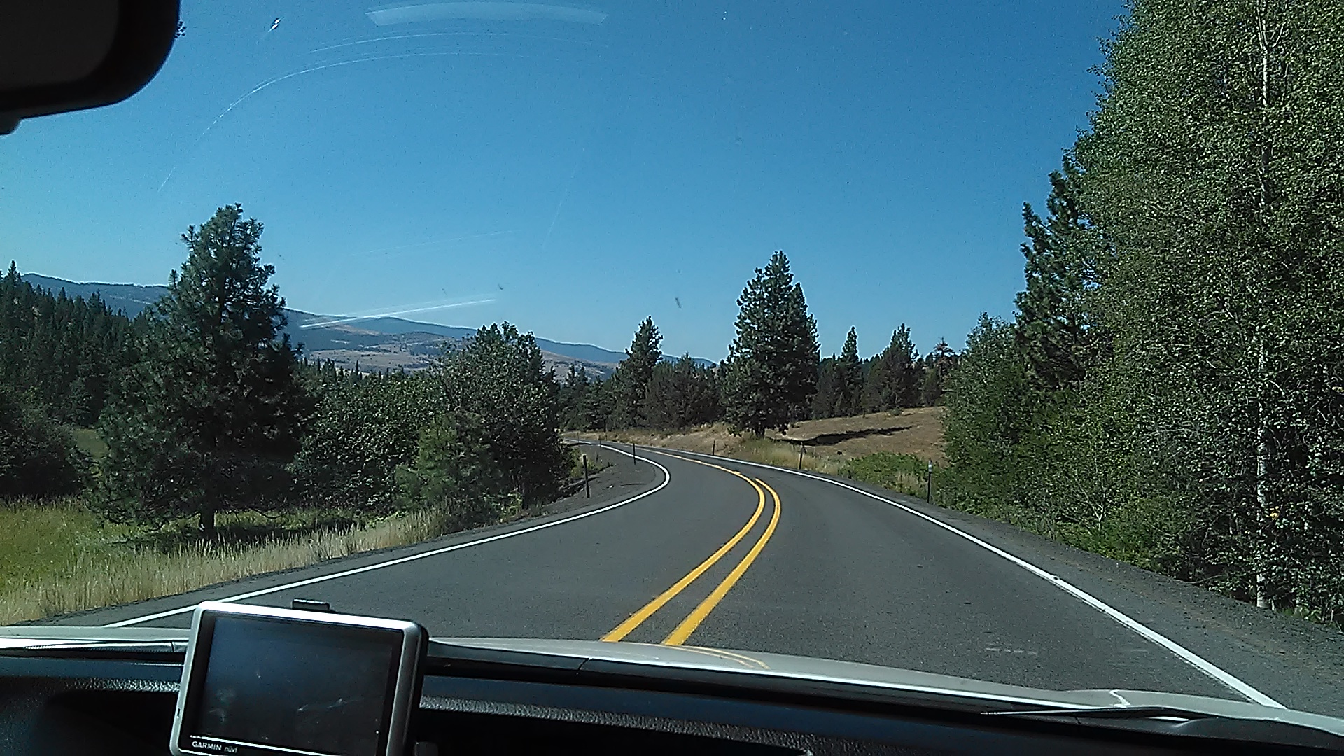
Eastern Oregon Hwy 395

Hwy 395

Desolation Creek upriver

Desolation Creek downriver

Jim crossing Desolation Creek
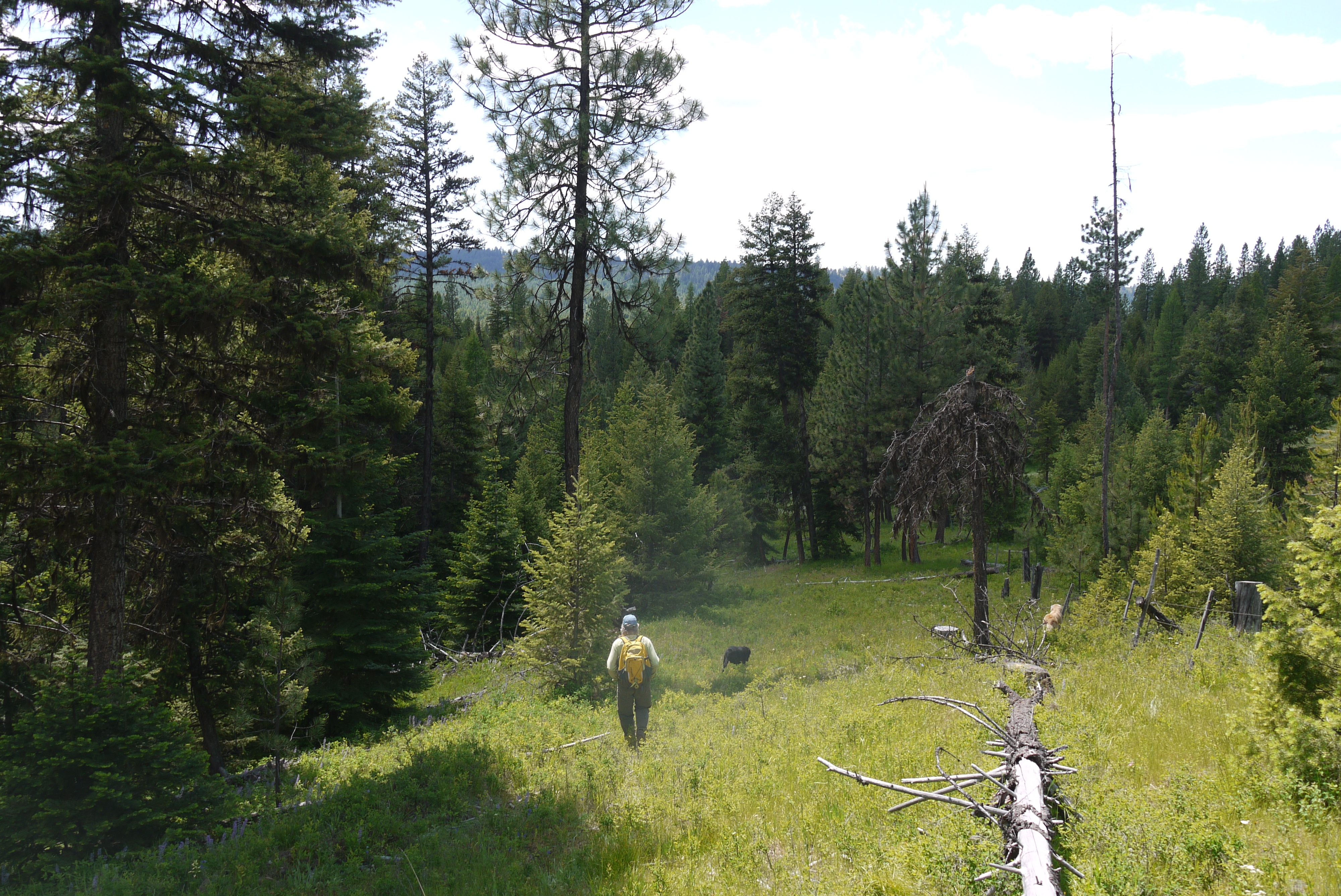
SBB and dogs walking to Desolation Creek
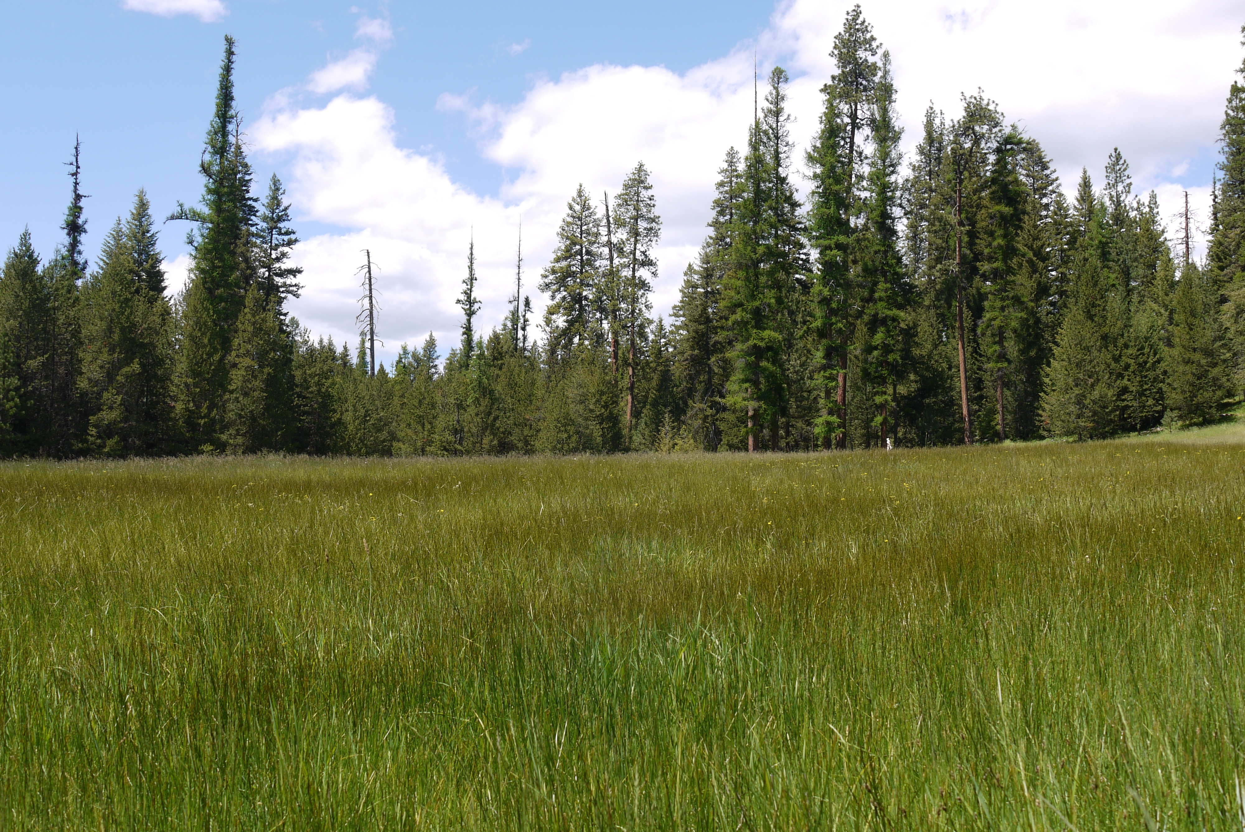
Snap Spring meadow
Snap Spring meadow

Ponderosa bark

Looking down-west Desolation Creek
Looking up Desolation Creek

Desolation Creek

Desolation Creek in right half

Jim and Bobcat

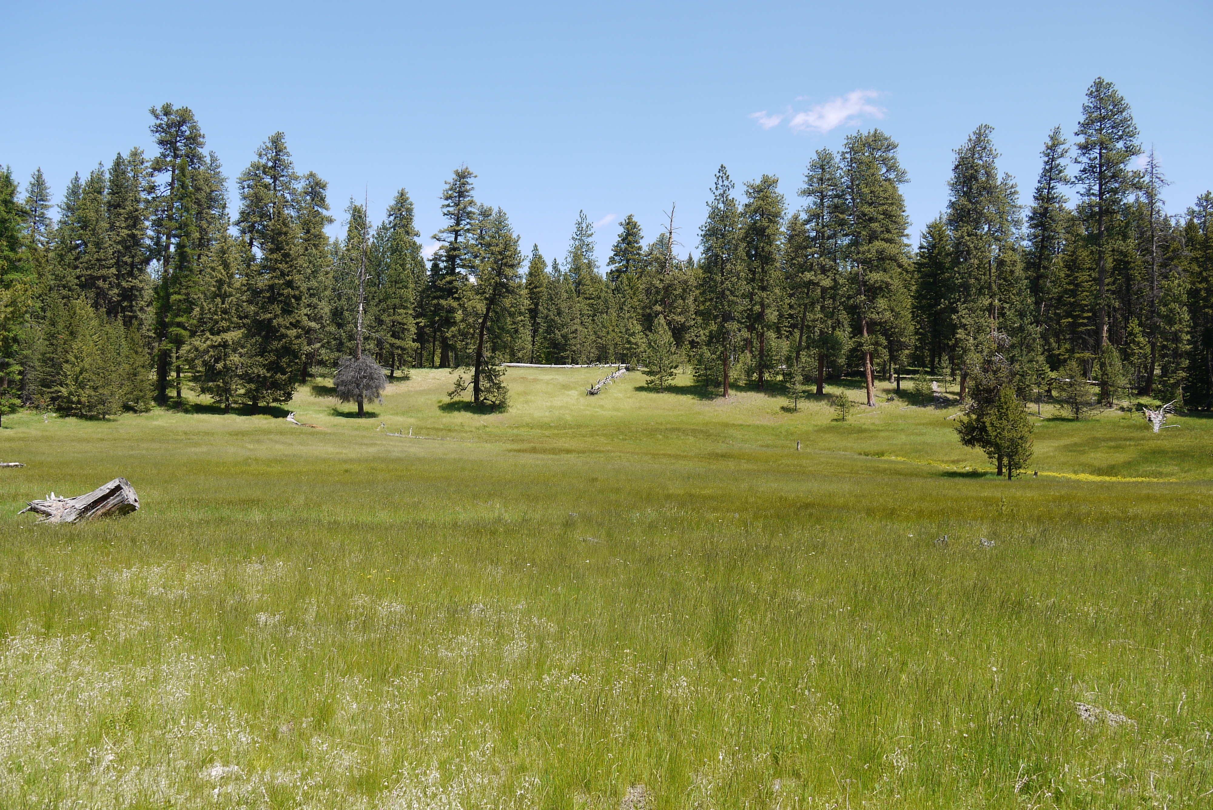
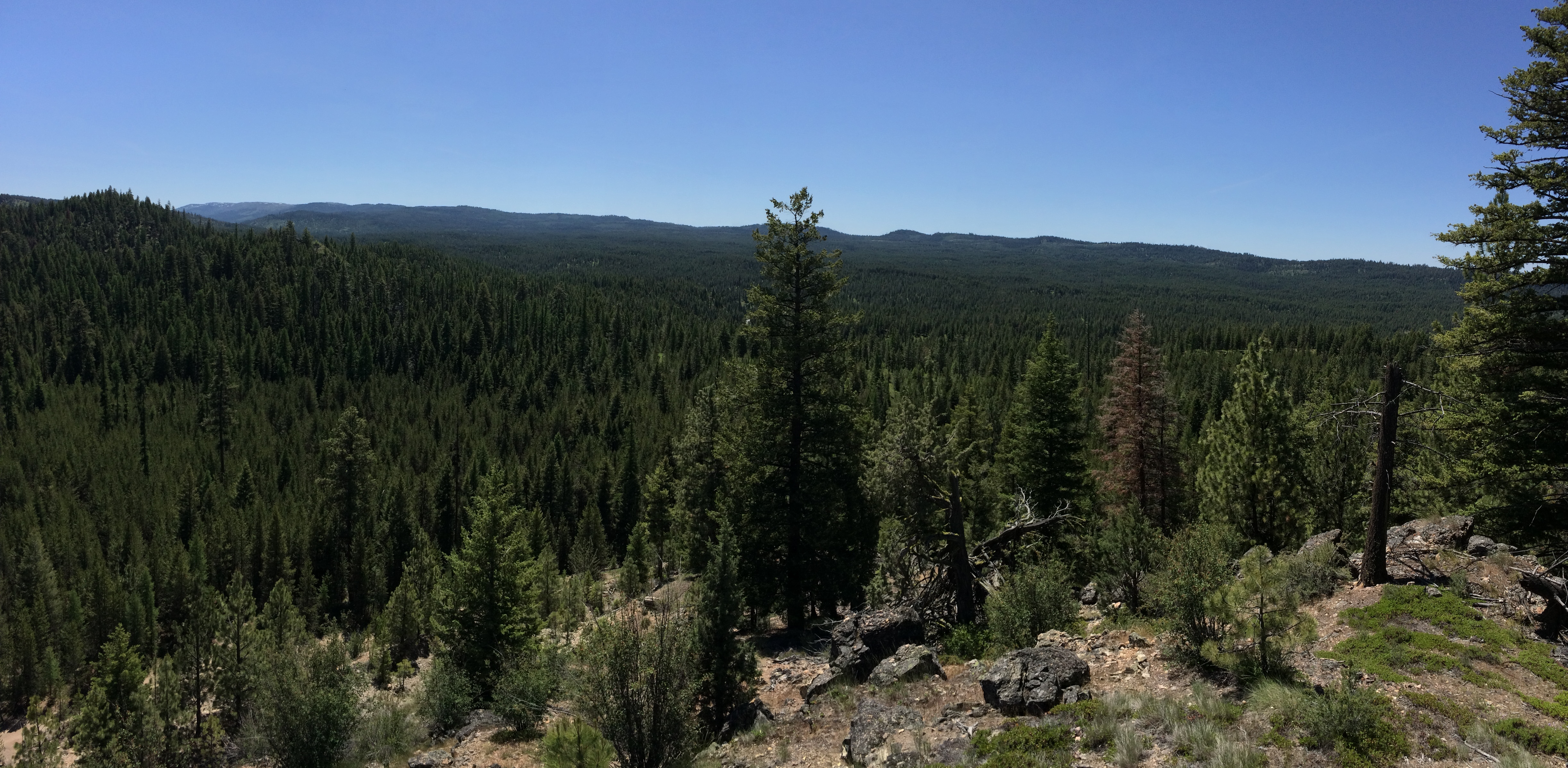
Meadow north of Desolation Creek
アメリカ合衆国 〒 オレゴン州 デールの地図
別の場所を検索
近所の場所
アメリカ合衆国 〒 オレゴン州 ロング・クリーク
アメリカ合衆国 オレゴン州 モニュメント
アメリカ合衆国 〒 オレゴン州 ジョン・デイ
アメリカ合衆国 オレゴン州 グラント
アメリカ合衆国 〒 オレゴン州 グラニット
アメリカ合衆国 〒 オレゴン州 ジョン・デイ
アメリカ合衆国 〒 オレゴン州 ベイツ
Co Rd 20A, Bates, OR アメリカ合衆国County Road 20A
アメリカ合衆国 〒 オレゴン州 キャニオンシティ
Harper Creek Rd, Mt Vernon, OR アメリカ合衆国ハーパー・クリーク・ロード
アメリカ合衆国 オレゴン州 アンソニー・レイクス
アメリカ合衆国 〒 オレゴン州 ボーン
アメリカ合衆国 〒 オレゴン州 サンプター
アメリカ合衆国 オレゴン州 マーダラーズ川
最近の検索
- アメリカ合衆国 アラスカ州 レッド・ドッグ・マイン日の出日の入り時間
- Am bhf, Borken, ドイツアム・バーンホーフ日の出日の入り時間
- 4th St E, Sonoma, CA, USA日の出日の入り時間
- Oakland Ave, Williamsport, PA アメリカ合衆国日の出日の入り時間
- Via Roma, Pieranica CR, イタリアローマ通り日の出日の入り時間
- クロアチア 〒 ドゥブロブニク GradClock Tower of Dubrovnik日の出日の入り時間
- アルゼンチン チュブ州 トレリュー日の出日の入り時間
- Hartfords Bluff Cir, Mt Pleasant, SC アメリカ合衆国日の出日の入り時間
- 日本、熊本県熊本市北区日の出日の入り時間
- 中華人民共和国 福州市 平潭県 平潭島日の出日の入り時間