Co Rd B, Fort Morgan, CO アメリカ合衆国日の出日の入り時間
Location: アメリカ合衆国 > コロラド州 > モーガン > アメリカ合衆国 〒 コロラド州 フォート・モーガン >
時間帯:
America/Denver
現地時間:
2025-07-05 10:35:56
経度:
-103.8660128
緯度:
40.0136445
今日の日の出時刻:
05:33:31 AM
今日の日の入時刻:
08:27:14 PM
今日の日長:
14h 53m 43s
明日の日の出時刻:
05:34:09 AM
明日の日の入時刻:
08:26:55 PM
明日の日長:
14h 52m 46s
すべて表示する
| 日付 | 日出 | 日没 | 日長 |
|---|---|---|---|
| 2025年01月01日 | 07:17:23 AM | 04:41:55 PM | 9h 24m 32s |
| 2025年01月02日 | 07:17:26 AM | 04:42:47 PM | 9h 25m 21s |
| 2025年01月03日 | 07:17:27 AM | 04:43:40 PM | 9h 26m 13s |
| 2025年01月04日 | 07:17:25 AM | 04:44:35 PM | 9h 27m 10s |
| 2025年01月05日 | 07:17:22 AM | 04:45:31 PM | 9h 28m 9s |
| 2025年01月06日 | 07:17:16 AM | 04:46:29 PM | 9h 29m 13s |
| 2025年01月07日 | 07:17:08 AM | 04:47:28 PM | 9h 30m 20s |
| 2025年01月08日 | 07:16:57 AM | 04:48:27 PM | 9h 31m 30s |
| 2025年01月09日 | 07:16:45 AM | 04:49:28 PM | 9h 32m 43s |
| 2025年01月10日 | 07:16:30 AM | 04:50:30 PM | 9h 34m 0s |
| 2025年01月11日 | 07:16:13 AM | 04:51:33 PM | 9h 35m 20s |
| 2025年01月12日 | 07:15:54 AM | 04:52:37 PM | 9h 36m 43s |
| 2025年01月13日 | 07:15:33 AM | 04:53:42 PM | 9h 38m 9s |
| 2025年01月14日 | 07:15:10 AM | 04:54:47 PM | 9h 39m 37s |
| 2025年01月15日 | 07:14:44 AM | 04:55:54 PM | 9h 41m 10s |
| 2025年01月16日 | 07:14:17 AM | 04:57:01 PM | 9h 42m 44s |
| 2025年01月17日 | 07:13:47 AM | 04:58:09 PM | 9h 44m 22s |
| 2025年01月18日 | 07:13:15 AM | 04:59:17 PM | 9h 46m 2s |
| 2025年01月19日 | 07:12:42 AM | 05:00:26 PM | 9h 47m 44s |
| 2025年01月20日 | 07:12:06 AM | 05:01:35 PM | 9h 49m 29s |
| 2025年01月21日 | 07:11:28 AM | 05:02:45 PM | 9h 51m 17s |
| 2025年01月22日 | 07:10:48 AM | 05:03:56 PM | 9h 53m 8s |
| 2025年01月23日 | 07:10:06 AM | 05:05:06 PM | 9h 55m 0s |
| 2025年01月24日 | 07:09:23 AM | 05:06:17 PM | 9h 56m 54s |
| 2025年01月25日 | 07:08:37 AM | 05:07:29 PM | 9h 58m 52s |
| 2025年01月26日 | 07:07:50 AM | 05:08:40 PM | 10h 0m 50s |
| 2025年01月27日 | 07:07:00 AM | 05:09:52 PM | 10h 2m 52s |
| 2025年01月28日 | 07:06:09 AM | 05:11:04 PM | 10h 4m 55s |
| 2025年01月29日 | 07:05:17 AM | 05:12:16 PM | 10h 6m 59s |
| 2025年01月30日 | 07:04:22 AM | 05:13:28 PM | 10h 9m 6s |
| 2025年01月31日 | 07:03:26 AM | 05:14:41 PM | 10h 11m 15s |
| 2025年02月01日 | 07:02:28 AM | 05:15:53 PM | 10h 13m 25s |
| 2025年02月02日 | 07:01:28 AM | 05:17:05 PM | 10h 15m 37s |
| 2025年02月03日 | 07:00:27 AM | 05:18:17 PM | 10h 17m 50s |
| 2025年02月04日 | 06:59:25 AM | 05:19:30 PM | 10h 20m 5s |
| 2025年02月05日 | 06:58:20 AM | 05:20:42 PM | 10h 22m 22s |
| 2025年02月06日 | 06:57:15 AM | 05:21:54 PM | 10h 24m 39s |
| 2025年02月07日 | 06:56:08 AM | 05:23:06 PM | 10h 26m 58s |
| 2025年02月08日 | 06:54:59 AM | 05:24:17 PM | 10h 29m 18s |
| 2025年02月09日 | 06:53:49 AM | 05:25:29 PM | 10h 31m 40s |
| 2025年02月10日 | 06:52:38 AM | 05:26:40 PM | 10h 34m 2s |
| 2025年02月11日 | 06:51:25 AM | 05:27:52 PM | 10h 36m 27s |
| 2025年02月12日 | 06:50:11 AM | 05:29:03 PM | 10h 38m 52s |
| 2025年02月13日 | 06:48:56 AM | 05:30:13 PM | 10h 41m 17s |
| 2025年02月14日 | 06:47:40 AM | 05:31:24 PM | 10h 43m 44s |
| 2025年02月15日 | 06:46:22 AM | 05:32:34 PM | 10h 46m 12s |
| 2025年02月16日 | 06:45:03 AM | 05:33:44 PM | 10h 48m 41s |
| 2025年02月17日 | 06:43:44 AM | 05:34:54 PM | 10h 51m 10s |
| 2025年02月18日 | 06:42:23 AM | 05:36:03 PM | 10h 53m 40s |
| 2025年02月19日 | 06:41:01 AM | 05:37:12 PM | 10h 56m 11s |
| 2025年02月20日 | 06:39:38 AM | 05:38:21 PM | 10h 58m 43s |
| 2025年02月21日 | 06:38:14 AM | 05:39:30 PM | 11h 1m 16s |
| 2025年02月22日 | 06:36:49 AM | 05:40:38 PM | 11h 3m 49s |
| 2025年02月23日 | 06:35:24 AM | 05:41:46 PM | 11h 6m 22s |
| 2025年02月24日 | 06:33:57 AM | 05:42:53 PM | 11h 8m 56s |
| 2025年02月25日 | 06:32:30 AM | 05:44:01 PM | 11h 11m 31s |
| 2025年02月26日 | 06:31:02 AM | 05:45:08 PM | 11h 14m 6s |
| 2025年02月27日 | 06:29:33 AM | 05:46:14 PM | 11h 16m 41s |
| 2025年02月28日 | 06:28:03 AM | 05:47:21 PM | 11h 19m 18s |
| 2025年03月01日 | 06:26:33 AM | 05:48:27 PM | 11h 21m 54s |
| 2025年03月02日 | 06:25:02 AM | 05:49:33 PM | 11h 24m 31s |
| 2025年03月03日 | 06:23:30 AM | 05:50:38 PM | 11h 27m 8s |
| 2025年03月04日 | 06:21:58 AM | 05:51:43 PM | 11h 29m 45s |
| 2025年03月05日 | 06:20:25 AM | 05:52:48 PM | 11h 32m 23s |
| 2025年03月06日 | 06:18:52 AM | 05:53:53 PM | 11h 35m 1s |
| 2025年03月07日 | 06:17:18 AM | 05:54:58 PM | 11h 37m 40s |
| 2025年03月08日 | 06:15:44 AM | 05:56:02 PM | 11h 40m 18s |
| 2025年03月09日 | 07:14:13 AM | 06:57:03 PM | 11h 42m 50s |
| 2025年03月10日 | 07:12:38 AM | 06:58:07 PM | 11h 45m 29s |
| 2025年03月11日 | 07:11:03 AM | 06:59:10 PM | 11h 48m 7s |
| 2025年03月12日 | 07:09:27 AM | 07:00:13 PM | 11h 50m 46s |
| 2025年03月13日 | 07:07:51 AM | 07:01:16 PM | 11h 53m 25s |
| 2025年03月14日 | 07:06:14 AM | 07:02:19 PM | 11h 56m 5s |
| 2025年03月15日 | 07:04:38 AM | 07:03:22 PM | 11h 58m 44s |
| 2025年03月16日 | 07:03:01 AM | 07:04:24 PM | 12h 1m 23s |
| 2025年03月17日 | 07:01:24 AM | 07:05:26 PM | 12h 4m 2s |
| 2025年03月18日 | 06:59:46 AM | 07:06:28 PM | 12h 6m 42s |
| 2025年03月19日 | 06:58:09 AM | 07:07:30 PM | 12h 9m 21s |
| 2025年03月20日 | 06:56:32 AM | 07:08:32 PM | 12h 12m 0s |
| 2025年03月21日 | 06:54:54 AM | 07:09:34 PM | 12h 14m 40s |
| 2025年03月22日 | 06:53:17 AM | 07:10:35 PM | 12h 17m 18s |
| 2025年03月23日 | 06:51:39 AM | 07:11:37 PM | 12h 19m 58s |
| 2025年03月24日 | 06:50:02 AM | 07:12:38 PM | 12h 22m 36s |
| 2025年03月25日 | 06:48:24 AM | 07:13:39 PM | 12h 25m 15s |
| 2025年03月26日 | 06:46:47 AM | 07:14:40 PM | 12h 27m 53s |
| 2025年03月27日 | 06:45:10 AM | 07:15:41 PM | 12h 30m 31s |
| 2025年03月28日 | 06:43:33 AM | 07:16:42 PM | 12h 33m 9s |
| 2025年03月29日 | 06:41:56 AM | 07:17:43 PM | 12h 35m 47s |
| 2025年03月30日 | 06:40:19 AM | 07:18:44 PM | 12h 38m 25s |
| 2025年03月31日 | 06:38:43 AM | 07:19:45 PM | 12h 41m 2s |
| 2025年04月01日 | 06:37:06 AM | 07:20:46 PM | 12h 43m 40s |
| 2025年04月02日 | 06:35:30 AM | 07:21:47 PM | 12h 46m 17s |
| 2025年04月03日 | 06:33:55 AM | 07:22:47 PM | 12h 48m 52s |
| 2025年04月04日 | 06:32:20 AM | 07:23:48 PM | 12h 51m 28s |
| 2025年04月05日 | 06:30:45 AM | 07:24:49 PM | 12h 54m 4s |
| 2025年04月06日 | 06:29:11 AM | 07:25:50 PM | 12h 56m 39s |
| 2025年04月07日 | 06:27:37 AM | 07:26:51 PM | 12h 59m 14s |
| 2025年04月08日 | 06:26:03 AM | 07:27:51 PM | 13h 1m 48s |
| 2025年04月09日 | 06:24:30 AM | 07:28:52 PM | 13h 4m 22s |
| 2025年04月10日 | 06:22:58 AM | 07:29:53 PM | 13h 6m 55s |
| 2025年04月11日 | 06:21:26 AM | 07:30:54 PM | 13h 9m 28s |
| 2025年04月12日 | 06:19:55 AM | 07:31:55 PM | 13h 12m 0s |
| 2025年04月13日 | 06:18:24 AM | 07:32:56 PM | 13h 14m 32s |
| 2025年04月14日 | 06:16:54 AM | 07:33:57 PM | 13h 17m 3s |
| 2025年04月15日 | 06:15:25 AM | 07:34:58 PM | 13h 19m 33s |
| 2025年04月16日 | 06:13:57 AM | 07:35:58 PM | 13h 22m 1s |
| 2025年04月17日 | 06:12:29 AM | 07:36:59 PM | 13h 24m 30s |
| 2025年04月18日 | 06:11:02 AM | 07:38:00 PM | 13h 26m 58s |
| 2025年04月19日 | 06:09:36 AM | 07:39:02 PM | 13h 29m 26s |
| 2025年04月20日 | 06:08:11 AM | 07:40:03 PM | 13h 31m 52s |
| 2025年04月21日 | 06:06:46 AM | 07:41:04 PM | 13h 34m 18s |
| 2025年04月22日 | 06:05:23 AM | 07:42:05 PM | 13h 36m 42s |
| 2025年04月23日 | 06:04:00 AM | 07:43:06 PM | 13h 39m 6s |
| 2025年04月24日 | 06:02:39 AM | 07:44:07 PM | 13h 41m 28s |
| 2025年04月25日 | 06:01:18 AM | 07:45:08 PM | 13h 43m 50s |
| 2025年04月26日 | 05:59:59 AM | 07:46:08 PM | 13h 46m 9s |
| 2025年04月27日 | 05:58:40 AM | 07:47:09 PM | 13h 48m 29s |
| 2025年04月28日 | 05:57:23 AM | 07:48:10 PM | 13h 50m 47s |
| 2025年04月29日 | 05:56:07 AM | 07:49:11 PM | 13h 53m 4s |
| 2025年04月30日 | 05:54:52 AM | 07:50:11 PM | 13h 55m 19s |
| 2025年05月01日 | 05:53:38 AM | 07:51:12 PM | 13h 57m 34s |
| 2025年05月02日 | 05:52:26 AM | 07:52:12 PM | 13h 59m 46s |
| 2025年05月03日 | 05:51:14 AM | 07:53:12 PM | 14h 1m 58s |
| 2025年05月04日 | 05:50:04 AM | 07:54:12 PM | 14h 4m 8s |
| 2025年05月05日 | 05:48:56 AM | 07:55:12 PM | 14h 6m 16s |
| 2025年05月06日 | 05:47:48 AM | 07:56:12 PM | 14h 8m 24s |
| 2025年05月07日 | 05:46:42 AM | 07:57:11 PM | 14h 10m 29s |
| 2025年05月08日 | 05:45:38 AM | 07:58:10 PM | 14h 12m 32s |
| 2025年05月09日 | 05:44:35 AM | 07:59:09 PM | 14h 14m 34s |
| 2025年05月10日 | 05:43:33 AM | 08:00:07 PM | 14h 16m 34s |
| 2025年05月11日 | 05:42:33 AM | 08:01:05 PM | 14h 18m 32s |
| 2025年05月12日 | 05:41:35 AM | 08:02:03 PM | 14h 20m 28s |
| 2025年05月13日 | 05:40:38 AM | 08:03:00 PM | 14h 22m 22s |
| 2025年05月14日 | 05:39:42 AM | 08:03:57 PM | 14h 24m 15s |
| 2025年05月15日 | 05:38:48 AM | 08:04:53 PM | 14h 26m 5s |
| 2025年05月16日 | 05:37:56 AM | 08:05:49 PM | 14h 27m 53s |
| 2025年05月17日 | 05:37:06 AM | 08:06:44 PM | 14h 29m 38s |
| 2025年05月18日 | 05:36:17 AM | 08:07:39 PM | 14h 31m 22s |
| 2025年05月19日 | 05:35:30 AM | 08:08:33 PM | 14h 33m 3s |
| 2025年05月20日 | 05:34:44 AM | 08:09:26 PM | 14h 34m 42s |
| 2025年05月21日 | 05:34:01 AM | 08:10:19 PM | 14h 36m 18s |
| 2025年05月22日 | 05:33:19 AM | 08:11:11 PM | 14h 37m 52s |
| 2025年05月23日 | 05:32:39 AM | 08:12:02 PM | 14h 39m 23s |
| 2025年05月24日 | 05:32:00 AM | 08:12:53 PM | 14h 40m 53s |
| 2025年05月25日 | 05:31:24 AM | 08:13:42 PM | 14h 42m 18s |
| 2025年05月26日 | 05:30:49 AM | 08:14:31 PM | 14h 43m 42s |
| 2025年05月27日 | 05:30:17 AM | 08:15:18 PM | 14h 45m 1s |
| 2025年05月28日 | 05:29:46 AM | 08:16:05 PM | 14h 46m 19s |
| 2025年05月29日 | 05:29:17 AM | 08:16:51 PM | 14h 47m 34s |
| 2025年05月30日 | 05:28:50 AM | 08:17:35 PM | 14h 48m 45s |
| 2025年05月31日 | 05:28:25 AM | 08:18:19 PM | 14h 49m 54s |
| 2025年06月01日 | 05:28:02 AM | 08:19:01 PM | 14h 50m 59s |
| 2025年06月02日 | 05:27:41 AM | 08:19:42 PM | 14h 52m 1s |
| 2025年06月03日 | 05:27:21 AM | 08:20:22 PM | 14h 53m 1s |
| 2025年06月04日 | 05:27:04 AM | 08:21:01 PM | 14h 53m 57s |
| 2025年06月05日 | 05:26:48 AM | 08:21:38 PM | 14h 54m 50s |
| 2025年06月06日 | 05:26:35 AM | 08:22:14 PM | 14h 55m 39s |
| 2025年06月07日 | 05:26:23 AM | 08:22:48 PM | 14h 56m 25s |
| 2025年06月08日 | 05:26:14 AM | 08:23:21 PM | 14h 57m 7s |
| 2025年06月09日 | 05:26:06 AM | 08:23:53 PM | 14h 57m 47s |
| 2025年06月10日 | 05:26:01 AM | 08:24:23 PM | 14h 58m 22s |
| 2025年06月11日 | 05:25:57 AM | 08:24:52 PM | 14h 58m 55s |
| 2025年06月12日 | 05:25:55 AM | 08:25:19 PM | 14h 59m 24s |
| 2025年06月13日 | 05:25:55 AM | 08:25:44 PM | 14h 59m 49s |
| 2025年06月14日 | 05:25:57 AM | 08:26:08 PM | 15h 0m 11s |
| 2025年06月15日 | 05:26:01 AM | 08:26:30 PM | 15h 0m 29s |
| 2025年06月16日 | 05:26:06 AM | 08:26:50 PM | 15h 0m 44s |
| 2025年06月17日 | 05:26:14 AM | 08:27:09 PM | 15h 0m 55s |
| 2025年06月18日 | 05:26:23 AM | 08:27:25 PM | 15h 1m 2s |
| 2025年06月19日 | 05:26:35 AM | 08:27:40 PM | 15h 1m 5s |
| 2025年06月20日 | 05:26:48 AM | 08:27:54 PM | 15h 1m 6s |
| 2025年06月21日 | 05:27:02 AM | 08:28:05 PM | 15h 1m 3s |
| 2025年06月22日 | 05:27:19 AM | 08:28:14 PM | 15h 0m 55s |
| 2025年06月23日 | 05:27:37 AM | 08:28:22 PM | 15h 0m 45s |
| 2025年06月24日 | 05:27:57 AM | 08:28:28 PM | 15h 0m 31s |
| 2025年06月25日 | 05:28:18 AM | 08:28:31 PM | 15h 0m 13s |
| 2025年06月26日 | 05:28:41 AM | 08:28:33 PM | 14h 59m 52s |
| 2025年06月27日 | 05:29:06 AM | 08:28:33 PM | 14h 59m 27s |
| 2025年06月28日 | 05:29:32 AM | 08:28:31 PM | 14h 58m 59s |
| 2025年06月29日 | 05:30:00 AM | 08:28:27 PM | 14h 58m 27s |
| 2025年06月30日 | 05:30:29 AM | 08:28:21 PM | 14h 57m 52s |
| 2025年07月01日 | 05:31:00 AM | 08:28:13 PM | 14h 57m 13s |
| 2025年07月02日 | 05:31:32 AM | 08:28:03 PM | 14h 56m 31s |
| 2025年07月03日 | 05:32:05 AM | 08:27:51 PM | 14h 55m 46s |
| 2025年07月04日 | 05:32:40 AM | 08:27:37 PM | 14h 54m 57s |
| 2025年07月05日 | 05:33:16 AM | 08:27:21 PM | 14h 54m 5s |
| 2025年07月06日 | 05:33:53 AM | 08:27:03 PM | 14h 53m 10s |
| 2025年07月07日 | 05:34:32 AM | 08:26:43 PM | 14h 52m 11s |
| 2025年07月08日 | 05:35:11 AM | 08:26:21 PM | 14h 51m 10s |
| 2025年07月09日 | 05:35:52 AM | 08:25:57 PM | 14h 50m 5s |
| 2025年07月10日 | 05:36:34 AM | 08:25:31 PM | 14h 48m 57s |
| 2025年07月11日 | 05:37:17 AM | 08:25:04 PM | 14h 47m 47s |
| 2025年07月12日 | 05:38:01 AM | 08:24:34 PM | 14h 46m 33s |
| 2025年07月13日 | 05:38:46 AM | 08:24:02 PM | 14h 45m 16s |
| 2025年07月14日 | 05:39:31 AM | 08:23:29 PM | 14h 43m 58s |
| 2025年07月15日 | 05:40:18 AM | 08:22:53 PM | 14h 42m 35s |
| 2025年07月16日 | 05:41:05 AM | 08:22:16 PM | 14h 41m 11s |
| 2025年07月17日 | 05:41:54 AM | 08:21:37 PM | 14h 39m 43s |
| 2025年07月18日 | 05:42:43 AM | 08:20:56 PM | 14h 38m 13s |
| 2025年07月19日 | 05:43:32 AM | 08:20:13 PM | 14h 36m 41s |
| 2025年07月20日 | 05:44:23 AM | 08:19:28 PM | 14h 35m 5s |
| 2025年07月21日 | 05:45:14 AM | 08:18:42 PM | 14h 33m 28s |
| 2025年07月22日 | 05:46:05 AM | 08:17:54 PM | 14h 31m 49s |
| 2025年07月23日 | 05:46:57 AM | 08:17:04 PM | 14h 30m 7s |
| 2025年07月24日 | 05:47:50 AM | 08:16:12 PM | 14h 28m 22s |
| 2025年07月25日 | 05:48:43 AM | 08:15:19 PM | 14h 26m 36s |
| 2025年07月26日 | 05:49:37 AM | 08:14:24 PM | 14h 24m 47s |
| 2025年07月27日 | 05:50:31 AM | 08:13:27 PM | 14h 22m 56s |
| 2025年07月28日 | 05:51:25 AM | 08:12:29 PM | 14h 21m 4s |
| 2025年07月29日 | 05:52:20 AM | 08:11:29 PM | 14h 19m 9s |
| 2025年07月30日 | 05:53:15 AM | 08:10:28 PM | 14h 17m 13s |
| 2025年07月31日 | 05:54:11 AM | 08:09:25 PM | 14h 15m 14s |
| 2025年08月01日 | 05:55:06 AM | 08:08:21 PM | 14h 13m 15s |
| 2025年08月02日 | 05:56:02 AM | 08:07:15 PM | 14h 11m 13s |
| 2025年08月03日 | 05:56:58 AM | 08:06:08 PM | 14h 9m 10s |
| 2025年08月04日 | 05:57:55 AM | 08:04:59 PM | 14h 7m 4s |
| 2025年08月05日 | 05:58:51 AM | 08:03:49 PM | 14h 4m 58s |
| 2025年08月06日 | 05:59:48 AM | 08:02:38 PM | 14h 2m 50s |
| 2025年08月07日 | 06:00:45 AM | 08:01:25 PM | 14h 0m 40s |
| 2025年08月08日 | 06:01:42 AM | 08:00:11 PM | 13h 58m 29s |
| 2025年08月09日 | 06:02:39 AM | 07:58:56 PM | 13h 56m 17s |
| 2025年08月10日 | 06:03:36 AM | 07:57:40 PM | 13h 54m 4s |
| 2025年08月11日 | 06:04:33 AM | 07:56:23 PM | 13h 51m 50s |
| 2025年08月12日 | 06:05:30 AM | 07:55:04 PM | 13h 49m 34s |
| 2025年08月13日 | 06:06:27 AM | 07:53:44 PM | 13h 47m 17s |
| 2025年08月14日 | 06:07:25 AM | 07:52:23 PM | 13h 44m 58s |
| 2025年08月15日 | 06:08:22 AM | 07:51:01 PM | 13h 42m 39s |
| 2025年08月16日 | 06:09:19 AM | 07:49:38 PM | 13h 40m 19s |
| 2025年08月17日 | 06:10:16 AM | 07:48:14 PM | 13h 37m 58s |
| 2025年08月18日 | 06:11:13 AM | 07:46:49 PM | 13h 35m 36s |
| 2025年08月19日 | 06:12:11 AM | 07:45:24 PM | 13h 33m 13s |
| 2025年08月20日 | 06:13:08 AM | 07:43:57 PM | 13h 30m 49s |
| 2025年08月21日 | 06:14:05 AM | 07:42:29 PM | 13h 28m 24s |
| 2025年08月22日 | 06:15:02 AM | 07:41:01 PM | 13h 25m 59s |
| 2025年08月23日 | 06:15:59 AM | 07:39:31 PM | 13h 23m 32s |
| 2025年08月24日 | 06:16:56 AM | 07:38:01 PM | 13h 21m 5s |
| 2025年08月25日 | 06:17:53 AM | 07:36:31 PM | 13h 18m 38s |
| 2025年08月26日 | 06:18:49 AM | 07:34:59 PM | 13h 16m 10s |
| 2025年08月27日 | 06:19:46 AM | 07:33:27 PM | 13h 13m 41s |
| 2025年08月28日 | 06:20:43 AM | 07:31:54 PM | 13h 11m 11s |
| 2025年08月29日 | 06:21:39 AM | 07:30:21 PM | 13h 8m 42s |
| 2025年08月30日 | 06:22:36 AM | 07:28:46 PM | 13h 6m 10s |
| 2025年08月31日 | 06:23:33 AM | 07:27:12 PM | 13h 3m 39s |
| 2025年09月01日 | 06:24:29 AM | 07:25:37 PM | 13h 1m 8s |
| 2025年09月02日 | 06:25:26 AM | 07:24:01 PM | 12h 58m 35s |
| 2025年09月03日 | 06:26:22 AM | 07:22:25 PM | 12h 56m 3s |
| 2025年09月04日 | 06:27:18 AM | 07:20:48 PM | 12h 53m 30s |
| 2025年09月05日 | 06:28:15 AM | 07:19:11 PM | 12h 50m 56s |
| 2025年09月06日 | 06:29:11 AM | 07:17:34 PM | 12h 48m 23s |
| 2025年09月07日 | 06:30:07 AM | 07:15:56 PM | 12h 45m 49s |
| 2025年09月08日 | 06:31:04 AM | 07:14:18 PM | 12h 43m 14s |
| 2025年09月09日 | 06:32:00 AM | 07:12:40 PM | 12h 40m 40s |
| 2025年09月10日 | 06:32:57 AM | 07:11:01 PM | 12h 38m 4s |
| 2025年09月11日 | 06:33:53 AM | 07:09:22 PM | 12h 35m 29s |
| 2025年09月12日 | 06:34:49 AM | 07:07:43 PM | 12h 32m 54s |
| 2025年09月13日 | 06:35:46 AM | 07:06:04 PM | 12h 30m 18s |
| 2025年09月14日 | 06:36:42 AM | 07:04:25 PM | 12h 27m 43s |
| 2025年09月15日 | 06:37:39 AM | 07:02:45 PM | 12h 25m 6s |
| 2025年09月16日 | 06:38:36 AM | 07:01:06 PM | 12h 22m 30s |
| 2025年09月17日 | 06:39:32 AM | 06:59:26 PM | 12h 19m 54s |
| 2025年09月18日 | 06:40:29 AM | 06:57:46 PM | 12h 17m 17s |
| 2025年09月19日 | 06:41:26 AM | 06:56:07 PM | 12h 14m 41s |
| 2025年09月20日 | 06:42:23 AM | 06:54:27 PM | 12h 12m 4s |
| 2025年09月21日 | 06:43:20 AM | 06:52:48 PM | 12h 9m 28s |
| 2025年09月22日 | 06:44:18 AM | 06:51:08 PM | 12h 6m 50s |
| 2025年09月23日 | 06:45:15 AM | 06:49:29 PM | 12h 4m 14s |
| 2025年09月24日 | 06:46:13 AM | 06:47:50 PM | 12h 1m 37s |
| 2025年09月25日 | 06:47:11 AM | 06:46:11 PM | 11h 59m 0s |
| 2025年09月26日 | 06:48:09 AM | 06:44:32 PM | 11h 56m 23s |
| 2025年09月27日 | 06:49:07 AM | 06:42:53 PM | 11h 53m 46s |
| 2025年09月28日 | 06:50:05 AM | 06:41:15 PM | 11h 51m 10s |
| 2025年09月29日 | 06:51:04 AM | 06:39:37 PM | 11h 48m 33s |
| 2025年09月30日 | 06:52:03 AM | 06:37:59 PM | 11h 45m 56s |
| 2025年10月01日 | 06:53:02 AM | 06:36:22 PM | 11h 43m 20s |
| 2025年10月02日 | 06:54:01 AM | 06:34:45 PM | 11h 40m 44s |
| 2025年10月03日 | 06:55:01 AM | 06:33:09 PM | 11h 38m 8s |
| 2025年10月04日 | 06:56:01 AM | 06:31:32 PM | 11h 35m 31s |
| 2025年10月05日 | 06:57:01 AM | 06:29:57 PM | 11h 32m 56s |
| 2025年10月06日 | 06:58:01 AM | 06:28:22 PM | 11h 30m 21s |
| 2025年10月07日 | 06:59:02 AM | 06:26:47 PM | 11h 27m 45s |
| 2025年10月08日 | 07:00:03 AM | 06:25:14 PM | 11h 25m 11s |
| 2025年10月09日 | 07:01:04 AM | 06:23:40 PM | 11h 22m 36s |
| 2025年10月10日 | 07:02:06 AM | 06:22:08 PM | 11h 20m 2s |
| 2025年10月11日 | 07:03:08 AM | 06:20:36 PM | 11h 17m 28s |
| 2025年10月12日 | 07:04:10 AM | 06:19:04 PM | 11h 14m 54s |
| 2025年10月13日 | 07:05:13 AM | 06:17:34 PM | 11h 12m 21s |
| 2025年10月14日 | 07:06:16 AM | 06:16:04 PM | 11h 9m 48s |
| 2025年10月15日 | 07:07:19 AM | 06:14:35 PM | 11h 7m 16s |
| 2025年10月16日 | 07:08:22 AM | 06:13:07 PM | 11h 4m 45s |
| 2025年10月17日 | 07:09:26 AM | 06:11:40 PM | 11h 2m 14s |
| 2025年10月18日 | 07:10:30 AM | 06:10:14 PM | 10h 59m 44s |
| 2025年10月19日 | 07:11:35 AM | 06:08:48 PM | 10h 57m 13s |
| 2025年10月20日 | 07:12:40 AM | 06:07:24 PM | 10h 54m 44s |
| 2025年10月21日 | 07:13:45 AM | 06:06:01 PM | 10h 52m 16s |
| 2025年10月22日 | 07:14:51 AM | 06:04:38 PM | 10h 49m 47s |
| 2025年10月23日 | 07:15:56 AM | 06:03:17 PM | 10h 47m 21s |
| 2025年10月24日 | 07:17:03 AM | 06:01:57 PM | 10h 44m 54s |
| 2025年10月25日 | 07:18:09 AM | 06:00:38 PM | 10h 42m 29s |
| 2025年10月26日 | 07:19:16 AM | 05:59:20 PM | 10h 40m 4s |
| 2025年10月27日 | 07:20:23 AM | 05:58:04 PM | 10h 37m 41s |
| 2025年10月28日 | 07:21:30 AM | 05:56:48 PM | 10h 35m 18s |
| 2025年10月29日 | 07:22:38 AM | 05:55:34 PM | 10h 32m 56s |
| 2025年10月30日 | 07:23:45 AM | 05:54:21 PM | 10h 30m 36s |
| 2025年10月31日 | 07:24:53 AM | 05:53:10 PM | 10h 28m 17s |
| 2025年11月01日 | 07:26:02 AM | 05:52:00 PM | 10h 25m 58s |
| 2025年11月02日 | 06:27:13 AM | 04:50:49 PM | 10h 23m 36s |
| 2025年11月03日 | 06:28:21 AM | 04:49:42 PM | 10h 21m 21s |
| 2025年11月04日 | 06:29:30 AM | 04:48:36 PM | 10h 19m 6s |
| 2025年11月05日 | 06:30:39 AM | 04:47:33 PM | 10h 16m 54s |
| 2025年11月06日 | 06:31:48 AM | 04:46:30 PM | 10h 14m 42s |
| 2025年11月07日 | 06:32:57 AM | 04:45:29 PM | 10h 12m 32s |
| 2025年11月08日 | 06:34:06 AM | 04:44:30 PM | 10h 10m 24s |
| 2025年11月09日 | 06:35:15 AM | 04:43:33 PM | 10h 8m 18s |
| 2025年11月10日 | 06:36:24 AM | 04:42:37 PM | 10h 6m 13s |
| 2025年11月11日 | 06:37:33 AM | 04:41:43 PM | 10h 4m 10s |
| 2025年11月12日 | 06:38:42 AM | 04:40:51 PM | 10h 2m 9s |
| 2025年11月13日 | 06:39:51 AM | 04:40:01 PM | 10h 0m 10s |
| 2025年11月14日 | 06:41:00 AM | 04:39:12 PM | 9h 58m 12s |
| 2025年11月15日 | 06:42:08 AM | 04:38:26 PM | 9h 56m 18s |
| 2025年11月16日 | 06:43:16 AM | 04:37:41 PM | 9h 54m 25s |
| 2025年11月17日 | 06:44:24 AM | 04:36:58 PM | 9h 52m 34s |
| 2025年11月18日 | 06:45:32 AM | 04:36:17 PM | 9h 50m 45s |
| 2025年11月19日 | 06:46:39 AM | 04:35:38 PM | 9h 48m 59s |
| 2025年11月20日 | 06:47:46 AM | 04:35:01 PM | 9h 47m 15s |
| 2025年11月21日 | 06:48:53 AM | 04:34:27 PM | 9h 45m 34s |
| 2025年11月22日 | 06:49:59 AM | 04:33:54 PM | 9h 43m 55s |
| 2025年11月23日 | 06:51:04 AM | 04:33:23 PM | 9h 42m 19s |
| 2025年11月24日 | 06:52:09 AM | 04:32:55 PM | 9h 40m 46s |
| 2025年11月25日 | 06:53:13 AM | 04:32:28 PM | 9h 39m 15s |
| 2025年11月26日 | 06:54:17 AM | 04:32:04 PM | 9h 37m 47s |
| 2025年11月27日 | 06:55:19 AM | 04:31:42 PM | 9h 36m 23s |
| 2025年11月28日 | 06:56:21 AM | 04:31:22 PM | 9h 35m 1s |
| 2025年11月29日 | 06:57:22 AM | 04:31:05 PM | 9h 33m 43s |
| 2025年11月30日 | 06:58:22 AM | 04:30:49 PM | 9h 32m 27s |
| 2025年12月01日 | 06:59:21 AM | 04:30:36 PM | 9h 31m 15s |
| 2025年12月02日 | 07:00:20 AM | 04:30:25 PM | 9h 30m 5s |
| 2025年12月03日 | 07:01:17 AM | 04:30:17 PM | 9h 29m 0s |
| 2025年12月04日 | 07:02:13 AM | 04:30:10 PM | 9h 27m 57s |
| 2025年12月05日 | 07:03:07 AM | 04:30:06 PM | 9h 26m 59s |
| 2025年12月06日 | 07:04:01 AM | 04:30:04 PM | 9h 26m 3s |
| 2025年12月07日 | 07:04:53 AM | 04:30:05 PM | 9h 25m 12s |
| 2025年12月08日 | 07:05:44 AM | 04:30:07 PM | 9h 24m 23s |
| 2025年12月09日 | 07:06:33 AM | 04:30:12 PM | 9h 23m 39s |
| 2025年12月10日 | 07:07:21 AM | 04:30:19 PM | 9h 22m 58s |
| 2025年12月11日 | 07:08:08 AM | 04:30:29 PM | 9h 22m 21s |
| 2025年12月12日 | 07:08:53 AM | 04:30:40 PM | 9h 21m 47s |
| 2025年12月13日 | 07:09:36 AM | 04:30:54 PM | 9h 21m 18s |
| 2025年12月14日 | 07:10:18 AM | 04:31:10 PM | 9h 20m 52s |
| 2025年12月15日 | 07:10:58 AM | 04:31:28 PM | 9h 20m 30s |
| 2025年12月16日 | 07:11:36 AM | 04:31:49 PM | 9h 20m 13s |
| 2025年12月17日 | 07:12:13 AM | 04:32:11 PM | 9h 19m 58s |
| 2025年12月18日 | 07:12:47 AM | 04:32:36 PM | 9h 19m 49s |
| 2025年12月19日 | 07:13:20 AM | 04:33:02 PM | 9h 19m 42s |
| 2025年12月20日 | 07:13:51 AM | 04:33:31 PM | 9h 19m 40s |
| 2025年12月21日 | 07:14:20 AM | 04:34:02 PM | 9h 19m 42s |
| 2025年12月22日 | 07:14:47 AM | 04:34:35 PM | 9h 19m 48s |
| 2025年12月23日 | 07:15:12 AM | 04:35:09 PM | 9h 19m 57s |
| 2025年12月24日 | 07:15:35 AM | 04:35:46 PM | 9h 20m 11s |
| 2025年12月25日 | 07:15:55 AM | 04:36:24 PM | 9h 20m 29s |
| 2025年12月26日 | 07:16:14 AM | 04:37:05 PM | 9h 20m 51s |
| 2025年12月27日 | 07:16:31 AM | 04:37:47 PM | 9h 21m 16s |
| 2025年12月28日 | 07:16:45 AM | 04:38:31 PM | 9h 21m 46s |
| 2025年12月29日 | 07:16:58 AM | 04:39:16 PM | 9h 22m 18s |
| 2025年12月30日 | 07:17:08 AM | 04:40:03 PM | 9h 22m 55s |
| 2025年12月31日 | 07:17:16 AM | 04:40:52 PM | 9h 23m 36s |
写真
IMG_0974.jpg

adena chapel
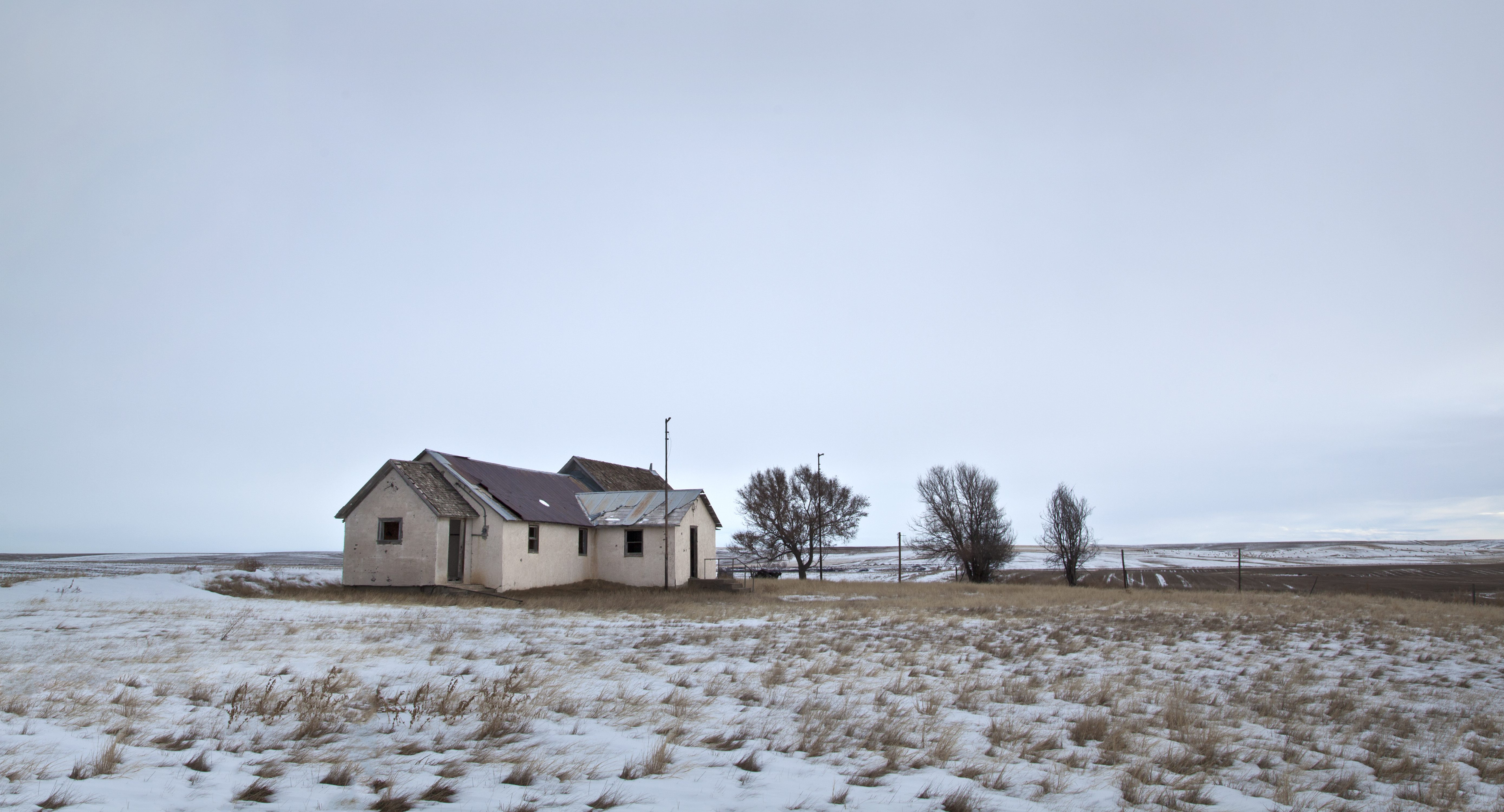
the Adena school
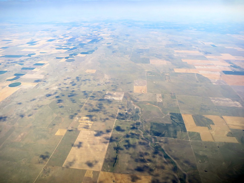
Aerial - USA (#1825)
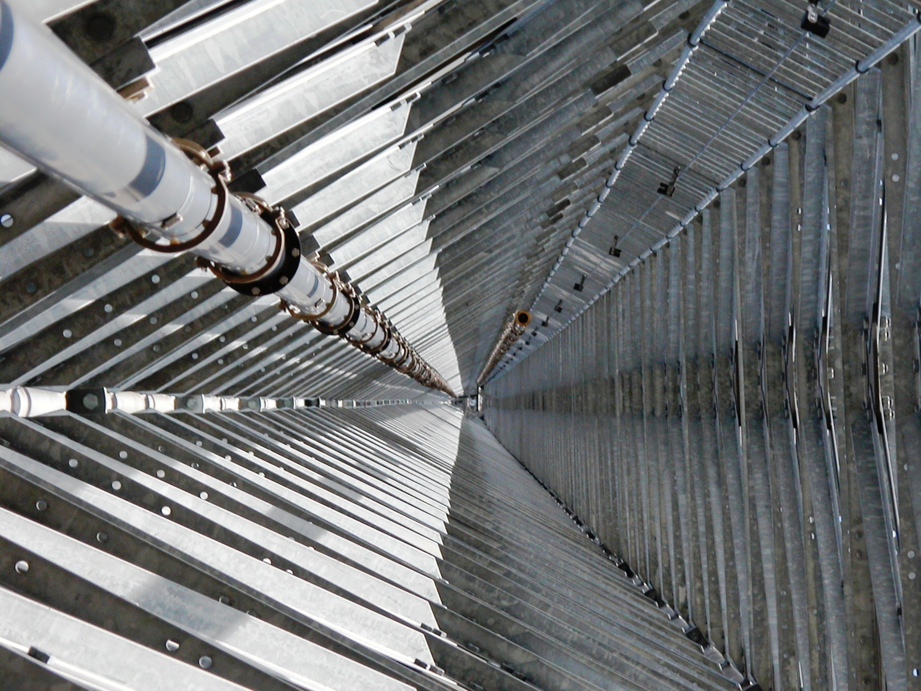
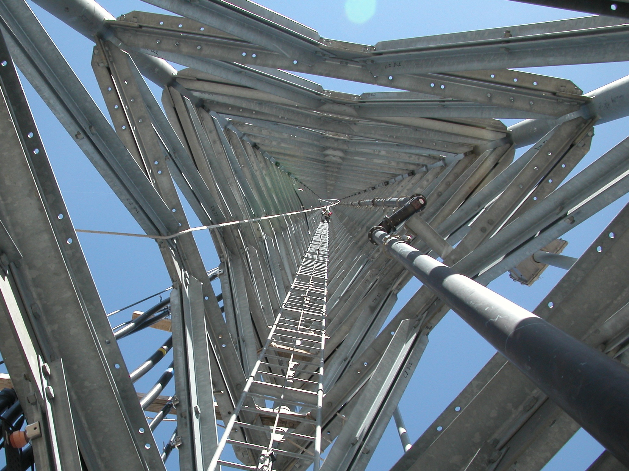
Inside Up
.
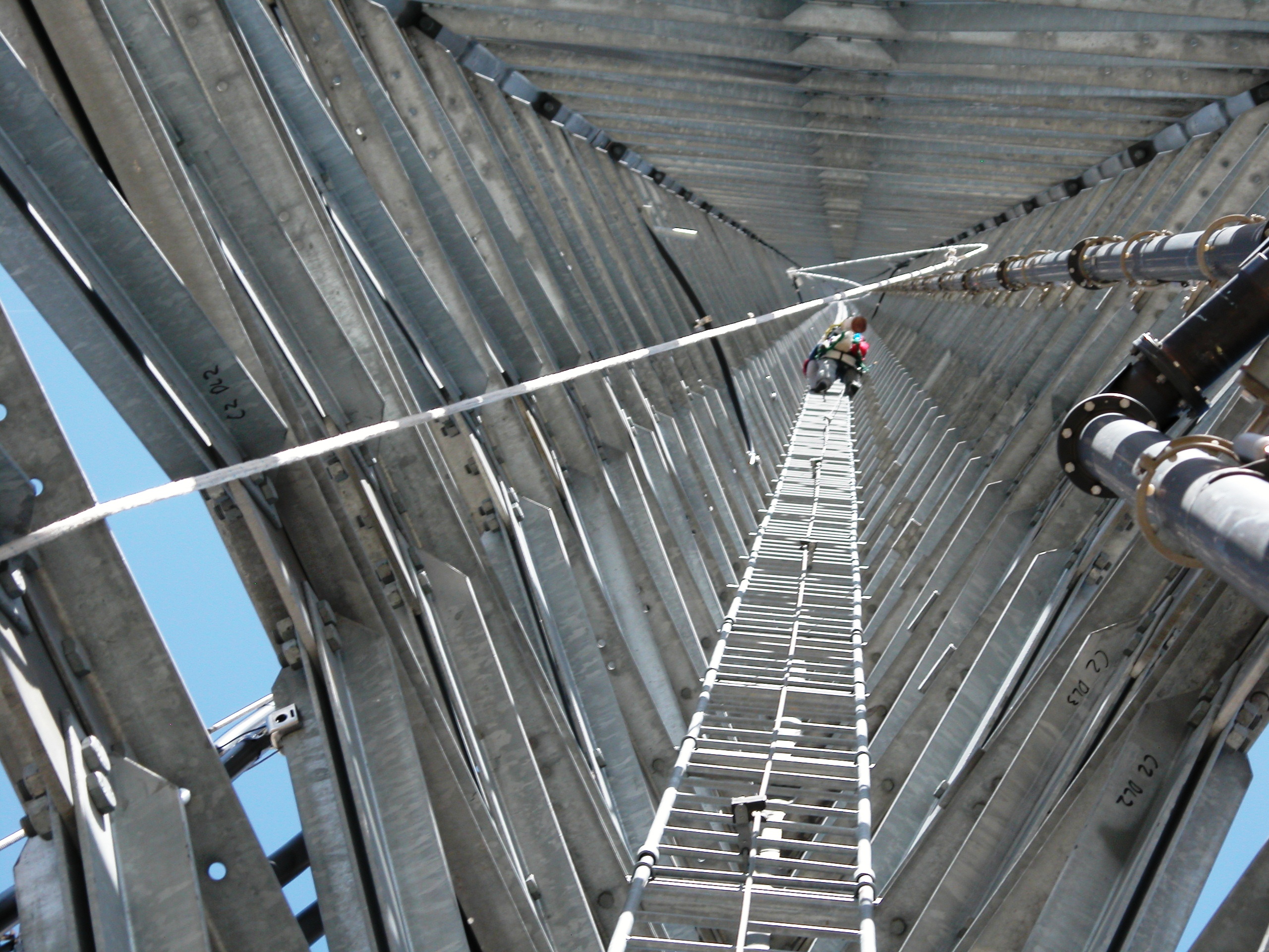
Going up
1900' Vertical Commute to work
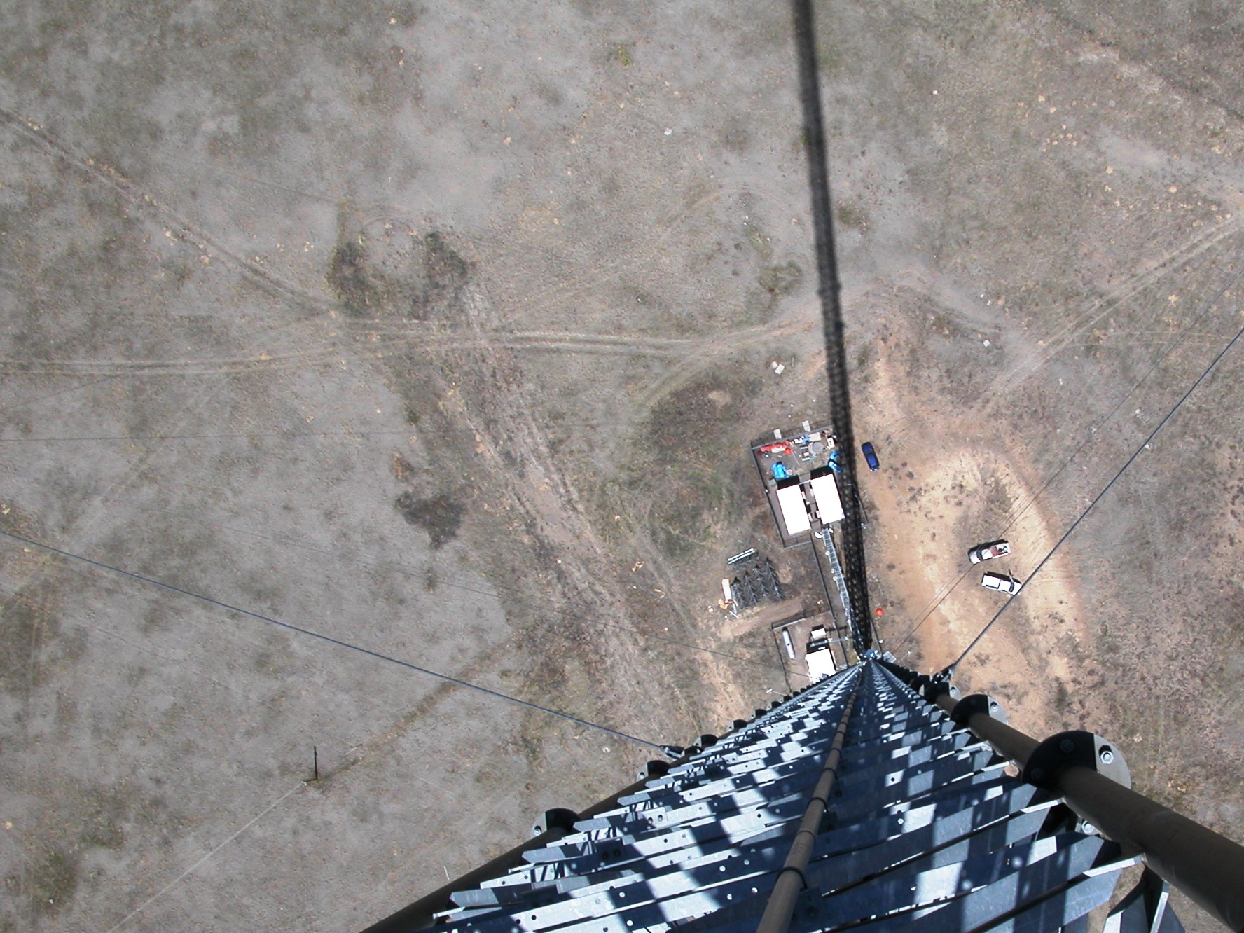
Long way down
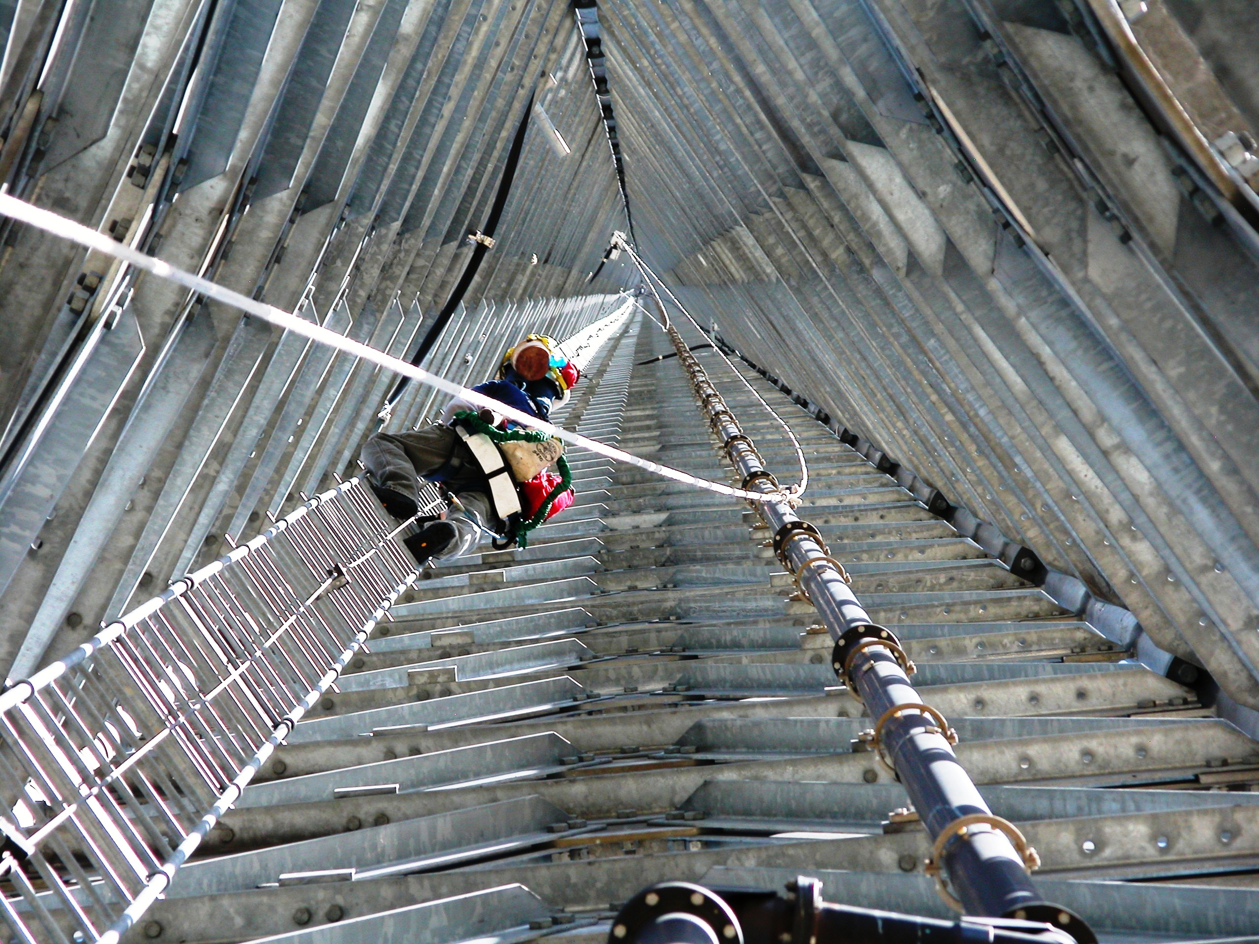
Up From The Middle
.
Inside down
Hummingbird Moth
2010-06-11_3283
Co Rd B, Fort Morgan, CO アメリカ合衆国の地図
別の場所を検索
近所の場所
Co Rd 16, Fort Morgan, CO アメリカ合衆国
アメリカ合衆国 〒 コロラド州 ラム
Co Rd Q, Fort Morgan, CO アメリカ合衆国
Trailside Dr, Fort Morgan, CO アメリカ合衆国トレイルサイド・ドライブ
アメリカ合衆国 〒 コロラド州 フォート・モーガン
Meeker St, Fort Morgan, CO アメリカ合衆国
Elm Dr, Log Lane Village, CO アメリカ合衆国
Oak St, Log Lane Village, CO アメリカ合衆国
アメリカ合衆国 コロラド州 ログ・レーン・ビレッジ
アメリカ合衆国 〒 コロラド州 ウッドロー
County Rd 20.5, Fort Morgan, CO アメリカ合衆国
US-34, Fort Morgan, CO アメリカ合衆国
County Rd E, Brush, CO アメリカ合衆国
Saddle Ridge Dr, Fort Morgan, CO アメリカ合衆国サドル・リッジ・ドライブ
アメリカ合衆国 コロラド州 モーガン
アメリカ合衆国 〒 コロラド州 ブラッシュ
アメリカ合衆国 〒 コロラド州 ウェルドナ
US-36, Woodrow, CO アメリカ合衆国
CO-39, Weldona, CO アメリカ合衆国
Co Rd 5, Weldona, CO アメリカ合衆国
最近の検索
- アメリカ合衆国 アラスカ州 レッド・ドッグ・マイン日の出日の入り時間
- Am bhf, Borken, ドイツアム・バーンホーフ日の出日の入り時間
- 4th St E, Sonoma, CA, USA日の出日の入り時間
- Oakland Ave, Williamsport, PA アメリカ合衆国日の出日の入り時間
- Via Roma, Pieranica CR, イタリアローマ通り日の出日の入り時間
- クロアチア 〒 ドゥブロブニク GradClock Tower of Dubrovnik日の出日の入り時間
- アルゼンチン チュブ州 トレリュー日の出日の入り時間
- Hartfords Bluff Cir, Mt Pleasant, SC アメリカ合衆国日の出日の入り時間
- 日本、熊本県熊本市北区日の出日の入り時間
- 中華人民共和国 福州市 平潭県 平潭島日の出日の入り時間